After a wonderful introduction to Patagonia with a trek in Huerquehue National Park, we headed further south in Chile to the Lake District and the small town of Puerto Varas. Just like the Pucón region, this part of Chile is filled with lakes, volcanoes, and national parks just waiting to be explored. Since we had to make some choices, we decided on Vicente Pérez Rosales National Park for a three-day trek through the Callao hot springs. Yes, more hot springs! It would be a shame to miss out, right? Everything didn’t go exactly as planned, but in the end, we were amazed by the beauty we encountered, and that’s what truly matters! Here’s a little guided tour of this magnificent park in Patagonia!
We took this trip in 2014, but the article was completely revised and updated in October 2024. If you see any price changes or have additional information that might be relevant, please feel free to leave us a comment!
Puerto Varas: gateway to the National Park
Overview
Puerto Varas is also an excellent base for exploring the Lake District around Vicente Pérez Rosales National Park and is a charming little town. Located on the western shore of Lake Llanquihue, it offers stunning views of the majestic Osorno Volcano at the far end of the lake. You’ll find everything you need to prepare for a trek (grocery stores, mountain gear shops…) or to organize a tour, kayak outing, rafting, climbing, etc.
Staying in Puerto Varas
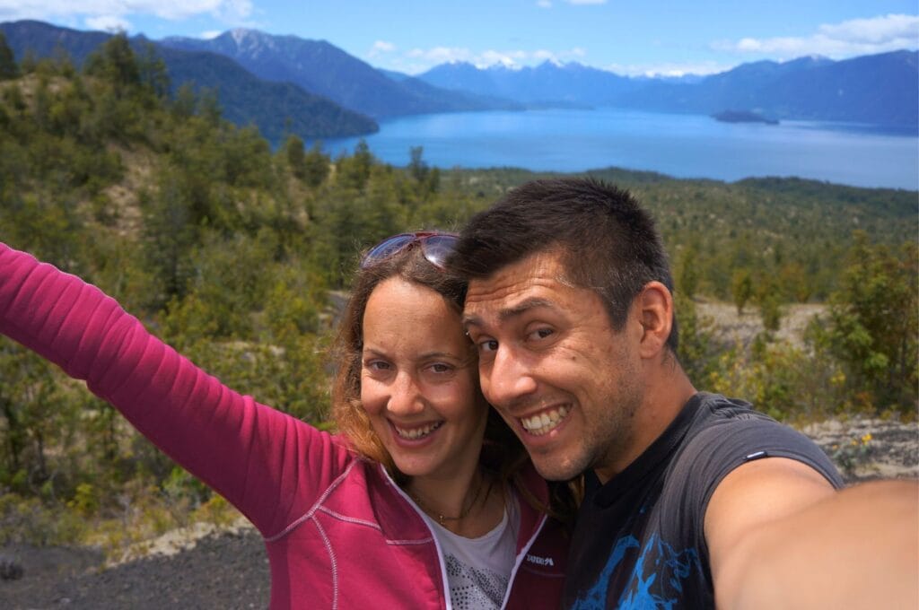
There are plenty of accommodation options in Puerto Varas for all budgets. For the best value, we highly recommend the hostels Casa Yunge and Casa Horn (MaPatagonia). These period buildings provide all the necessary comforts for an excellent stay without breaking the bank! In another category, Hospedaje El Roble is a perfect B&B for travelers, with attentive owners ensuring a top-notch experience.
This article contains affiliate links to partner sites. When you use our links to book accommodation, a car, or an activity, you don’t pay anything extra, but we get a small commission. This helps us to offer you free, independent, and ad-free content. Thank you for your support!
How to get to Puerto Varas
Getting to Puerto Varas is really straightforward.
From Pucón, JAC buses are the only direct option, running in the morning or late afternoon in about 5 hours and 20 minutes. Check the timetable here.
From Santiago, you can take a bus or a flight. Buses travel overnight, starting at 12,000 Chilean pesos, and will drop you off right in the city center. Flights are typically more expensive, averaging 40,000 pesos, and will take you to Puerto Montt, which is 20 km from Puerto Varas. From the airport, the easiest option is to take one of the buses to Puerto Varas waiting outside for passengers. Expect to pay about 5,000 to 10,000 pesos per person for a 30-minute ride.
Vicente Pérez Rosales National Park
Introduction
The first region in Chile to be protected within a national park, this former reserve is made up of very dense and humid forests, the stunning Lake Todos los Santos, and the three volcanoes: Osorno (2,652 m), Tronador (3,554 m), and Puntiagudo (2,190 m). Honestly, after spending several months traveling through the drier regions of Peru, Bolivia, and northern Chile, we were thrilled to see more vegetation, greenery, and rivers. And I can promise you, we were not disappointed!
Accessing the park
Accessing Vicente Pérez Rosales National Park from Puerto Varas is very simple. Minibuses leave here approximately every 45 minutes starting at 8:30 a.m. toward Petrohue (or Petrohué), at the entrance of the park by Lake Todos los Santos, covering 60 km in about an hour. Bus tickets cost 3,000 pesos per person. There are also CONAF offices to get information about the park. We’ve included a little map of the national park and the various trails we explored, so you can see what we’re talking about. Lastly, there is an entrance fee to the national park; you can pay online or on-site (7,500 pesos per adult).
Map of Vicente Pérez Rosales Park
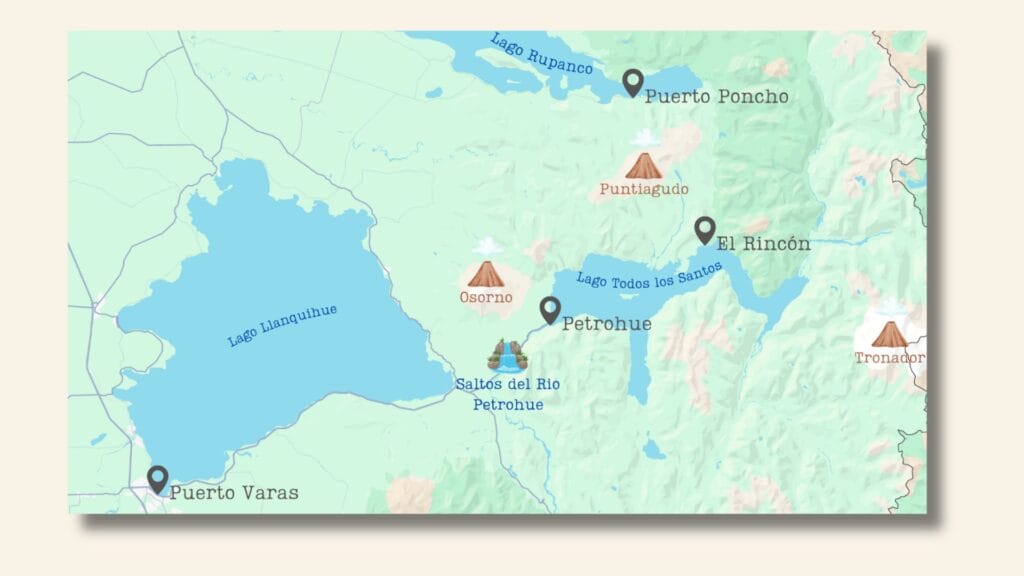
Trekking and hiking trails in the Park around Petrohue
- Travesía Valle el Callao (32 km, 1,080 m elevation gain, 3-4 days from El Rincón to Puerto Poncho).
- Sendero Paso Desolación (24 km, 750 m elevation gain, 6 hours): If the trek doesn’t entice you, we can only recommend this beautiful trail.
- Petrohue Waterfalls (1.7 km or 6.3 km from Petrohue)
- Cráter Rojo (2.7 km, 130 m elevation gain): An easy hike without a guide to walk on the slopes of Osorno Volcano; find the GPS track here.
- Ascent of Osorno Volcano (7 km, 880 m elevation gain): Be well-equipped (ice axe, crampons, etc.) to tackle this hike. You can find the hiking route here. An easier option is to take two cable cars (fee applies, 27,000 pesos for both per person) to reach an altitude of 1,652 m, just 400 m from the summit, before the most technical part of the hike.
Travesía Valle el Callao
The Travesía Valle el Callao, the hike we planned to do, starts from a location called El Rincón, situated on the shores of Lake Todos los Santos, accessible only by private boat from Petrohué.
Disappointment
So, we took the first bus in the morning from Puerto Varas to Petrohué, hoping to find a boat quickly to start the hike as early as possible. Once we arrived at the port, several people with private boats offered to take us to El Rincón. However, the price they quoted was way out of our budget! There was no way to negotiate under 80,000 pesos for the boat trip. Paying such a price just to go hiking was out of the question for us. We then sought others interested in this trail to share the boat costs… But as you can imagine, it was impossible to find other motivated people with 2-3 days’ worth of food in their backpacks. It’s much easier to find people in Puerto Varas!
Hope
The next day, after hiking the Sendero Paso Desolación, we met a couple who were staying at our hotel in Puerto Varas. In discussing our misadventures in finding a reasonably priced private boat to take us to El Rincón for this famous trek, we noticed Monica’s eyes light up at the mention of Termas El Callao. That was all it took to convince them to share the boat and hike together. Plus, they had all the camping gear and five days’ worth of food in their backpacks. Sometimes, chance does work in our favor!
Since it was already 6:30 p.m., we could negotiate much more easily with the boat owners. After all, they were heading home at the end of the day and preferred to fill their boats a bit. As a result, we managed to get a price of 40,000 pesos for four people, which was much more reasonable!
Day 0: arrival at El Rincón
Tip for taking the boat from Petrohué: Organize a group in Puerto Varas to share boat costs or head to Petrohué at the end of the day to negotiate a good price. You can even do both at the same time!
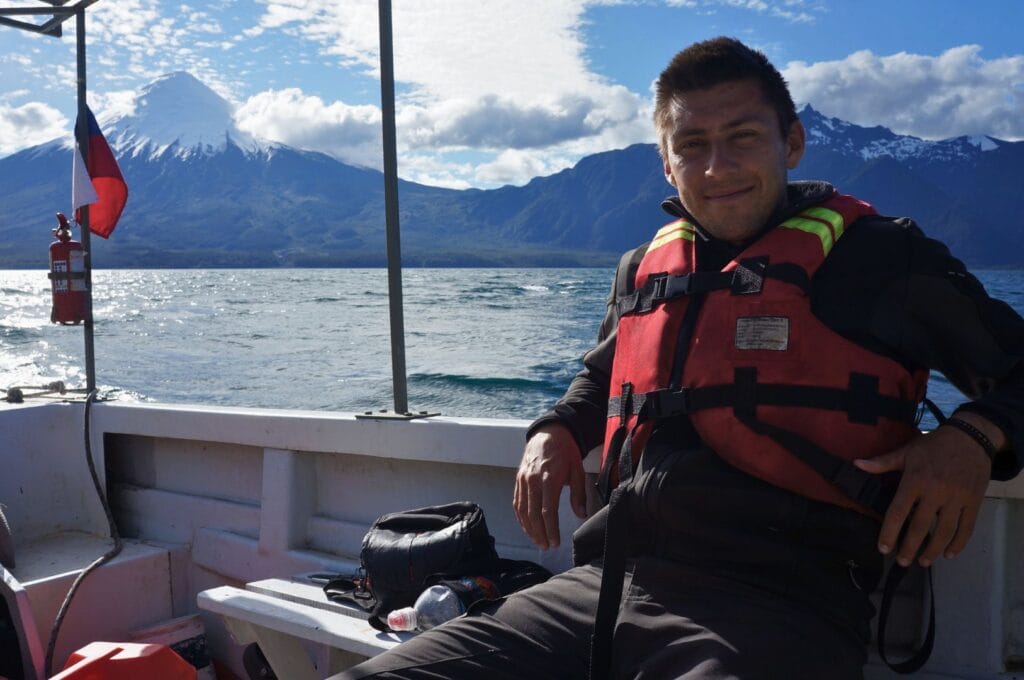
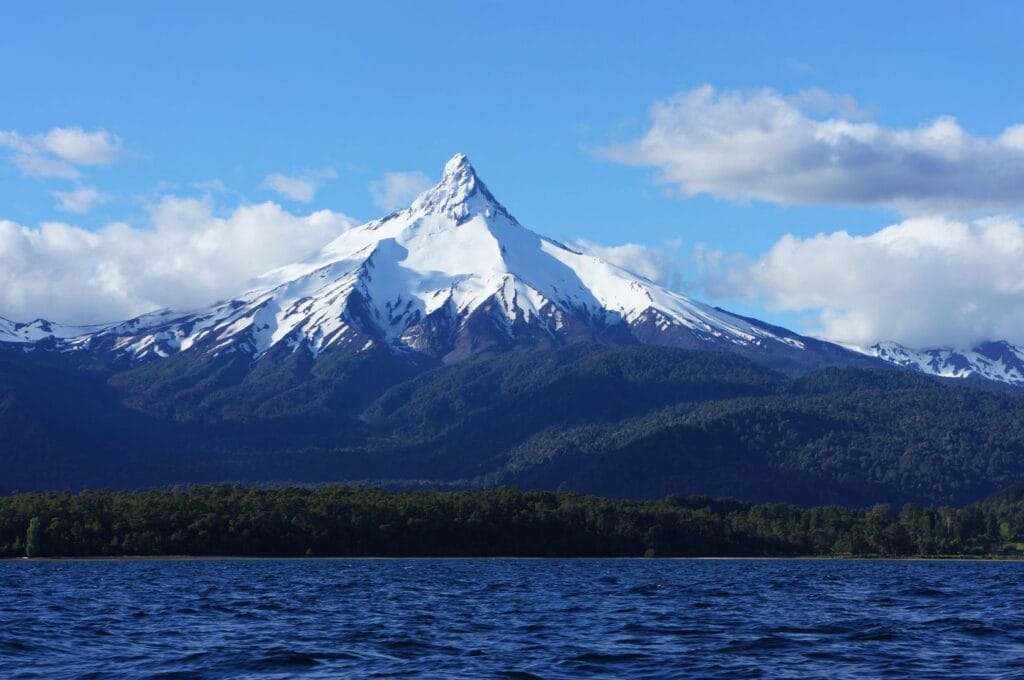
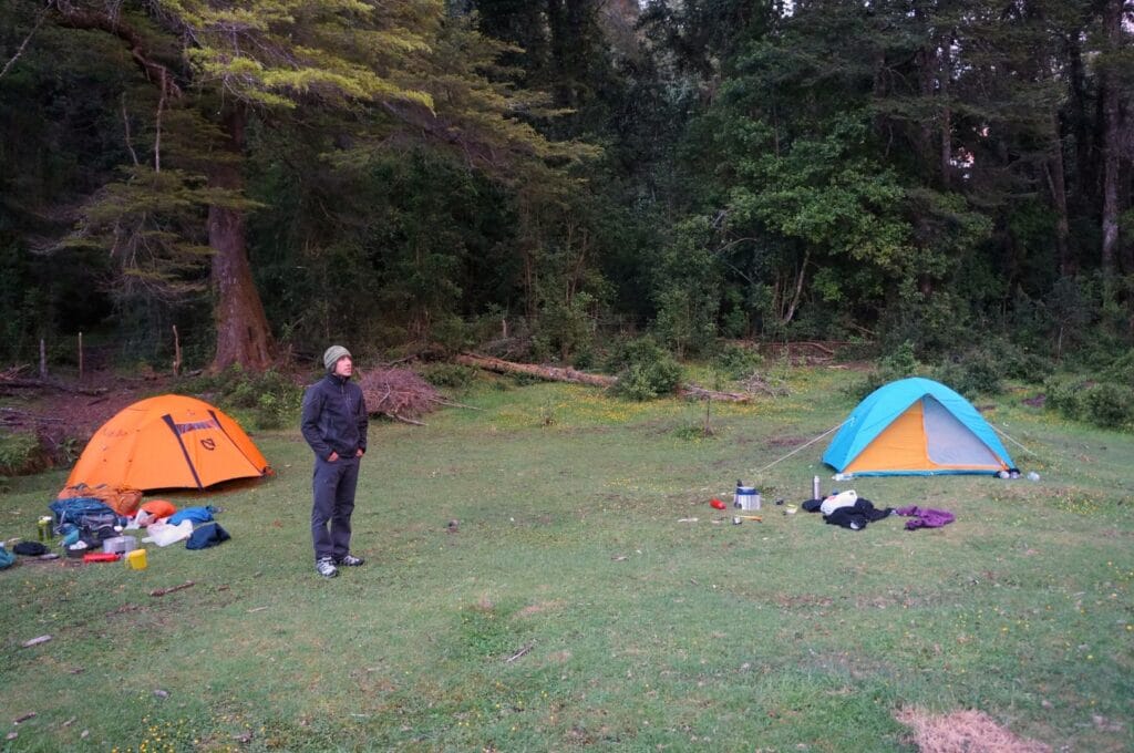
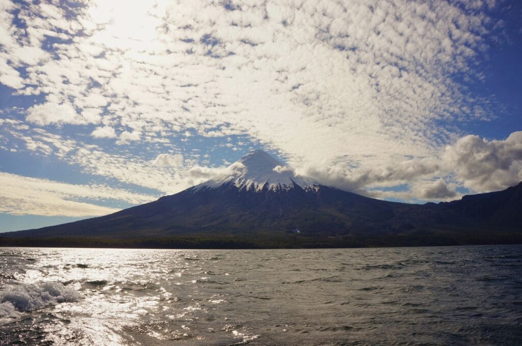
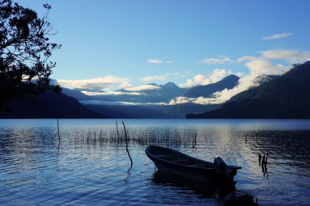
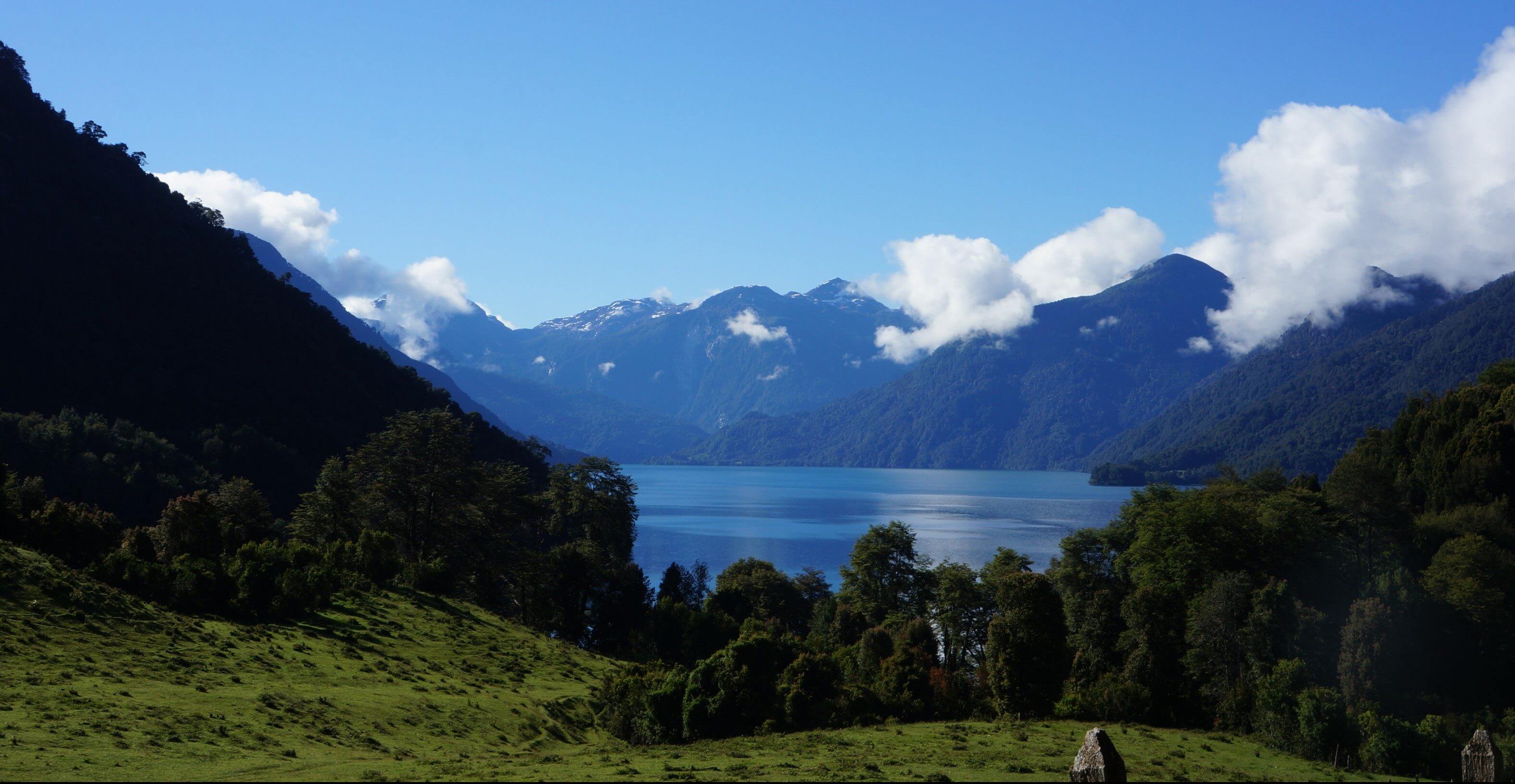
Expect about 1 to 1.5 hours by boat to reach El Rincón, a small beach with just one house. But time flies because the scenery is simply breathtaking, and I mean it. On a clear day, you’ll have absolutely spectacular views of the Osorno and Puntiagudo volcanoes. Once you arrive on the beach, you can camp while enjoying the evening light over Lake Todos los Santos. Believe me, we won’t forget this boat ride or the view from that lovely little beach. All in all, it was a night in paradise!
Once you’re at El Rincón, there’s no turning back. You must cross over to Lake Rupanco for at least two days. So make sure you plan accordingly!
Day 1: to the Callao Hot Springs
The trail
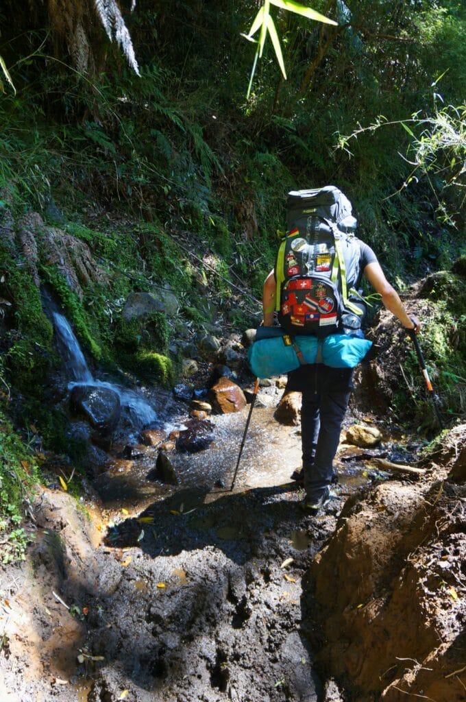
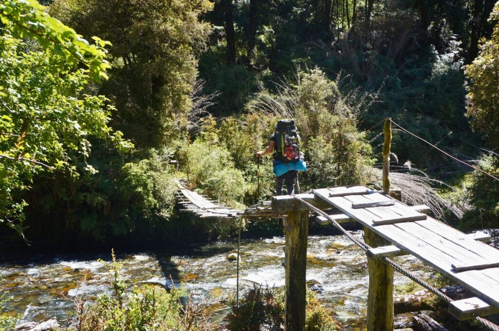
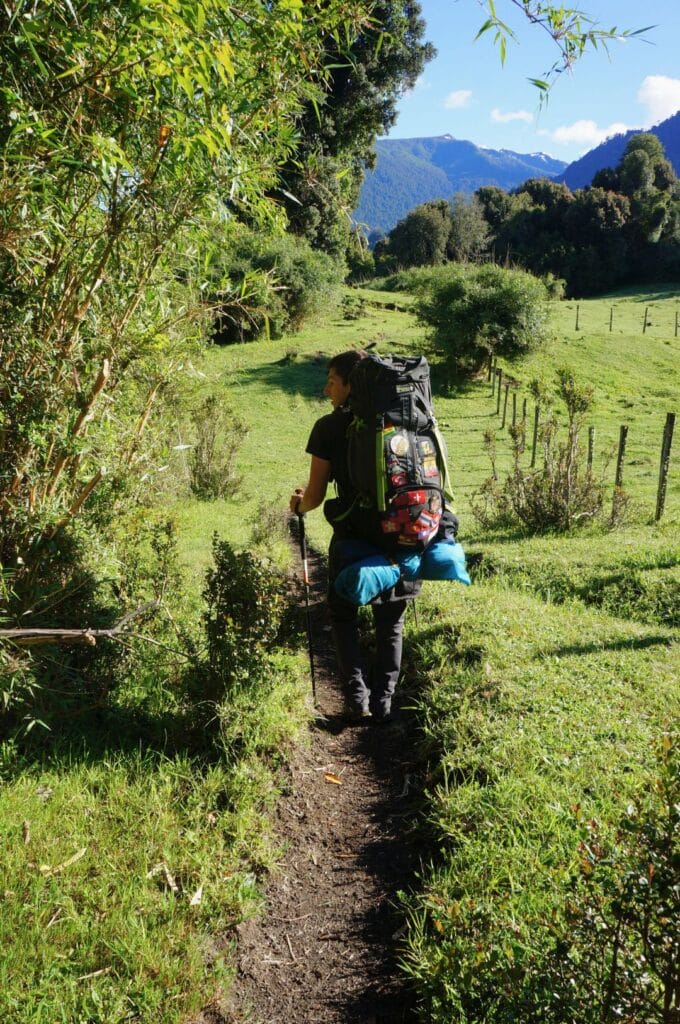
We got up early to cover the 12 km that separated us from the Termas El Callao. According to the Lonely Planet Trekking Patagonia (which you can find on-site), this is a leisurely walk of 3-4 hours on an easy path, suitable even for children. The reality, however, is that in November, which is the end of spring in Patagonia, this path is extremely muddy, making it more difficult and exhausting. And if you want our opinion, given that this national park is extremely humid, the path must be muddy year-round. Add to that a couple of questionable boardwalk crossings and 1-2 crossings of icy rivers, and it becomes quite challenging. In fact, if the Lonely Planet is reading this, let’s just say we would never attempt this trek with children!
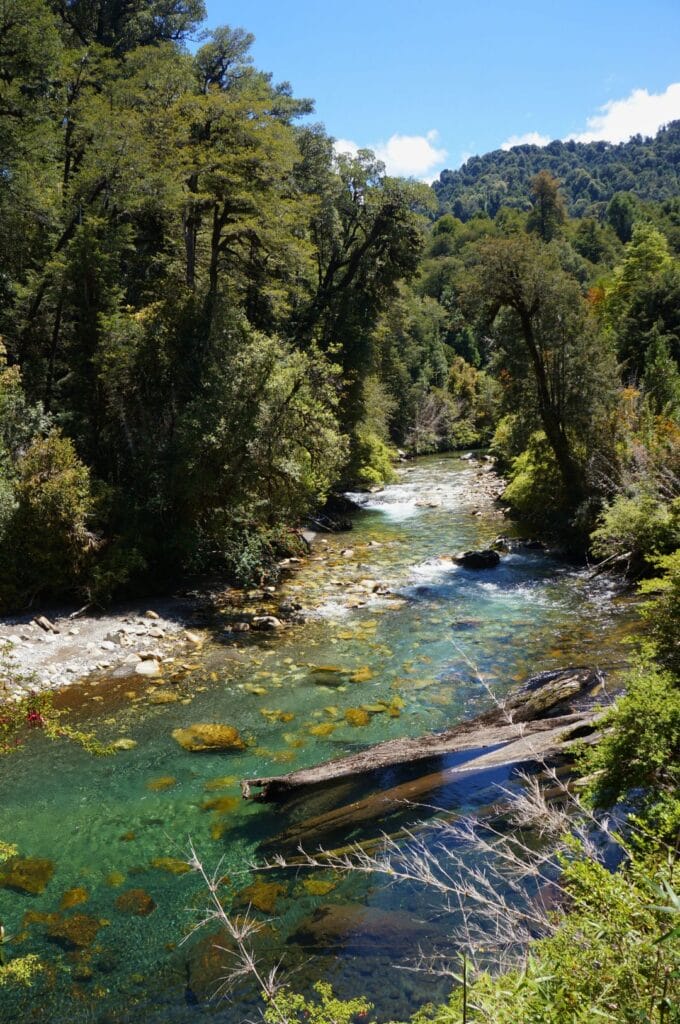
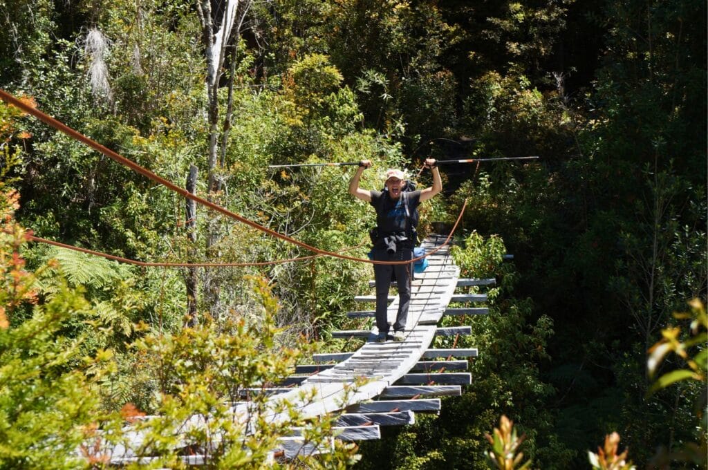
Aside from the trail’s condition, which sometimes put our coordination to the test (especially when you don’t want to take off your shoes to cross an icy river and there are only four unstable stones to step on!), the landscapes were breathtaking once again. We first crossed some pastures with views of the lake, then we plunged into the very dense and humid forest along the nameless river, Río Sin Nombre.
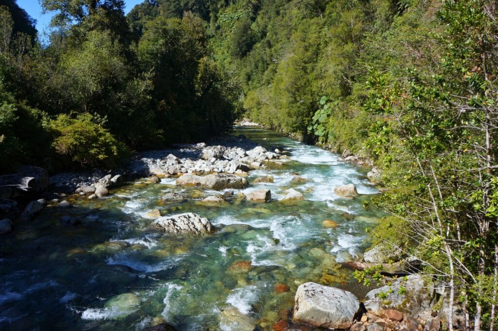
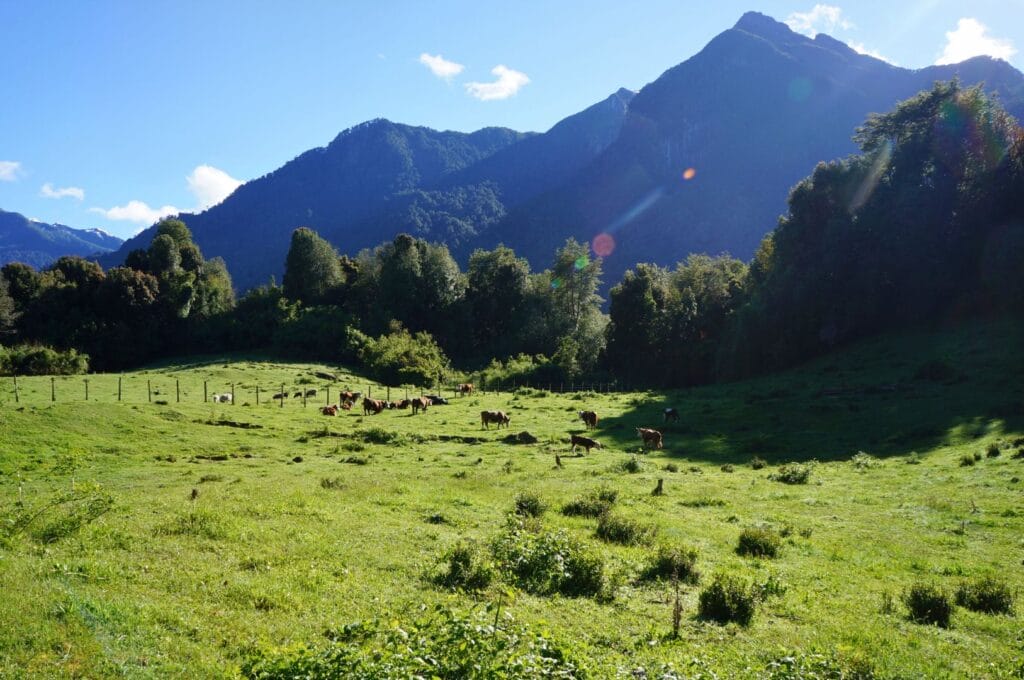
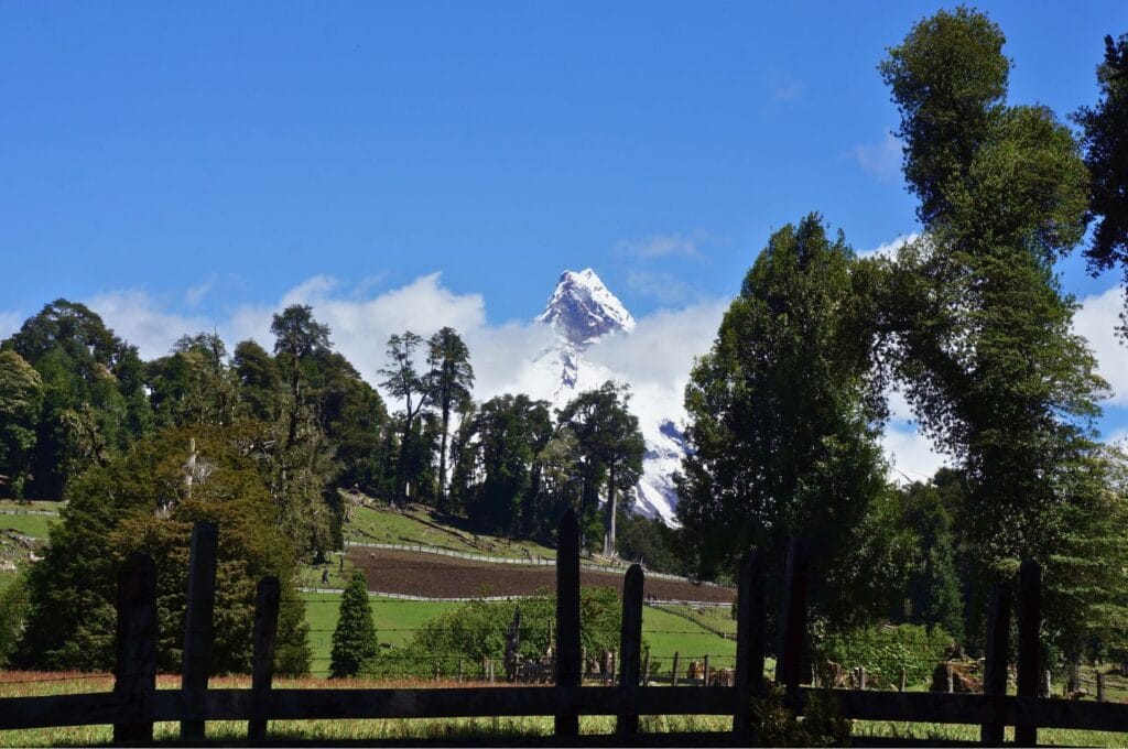
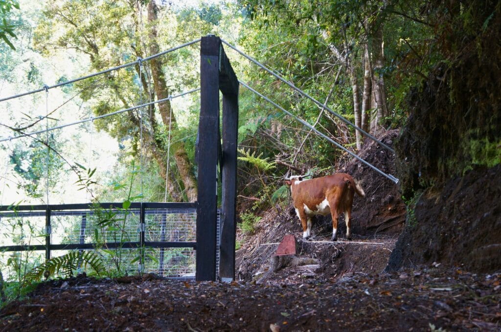
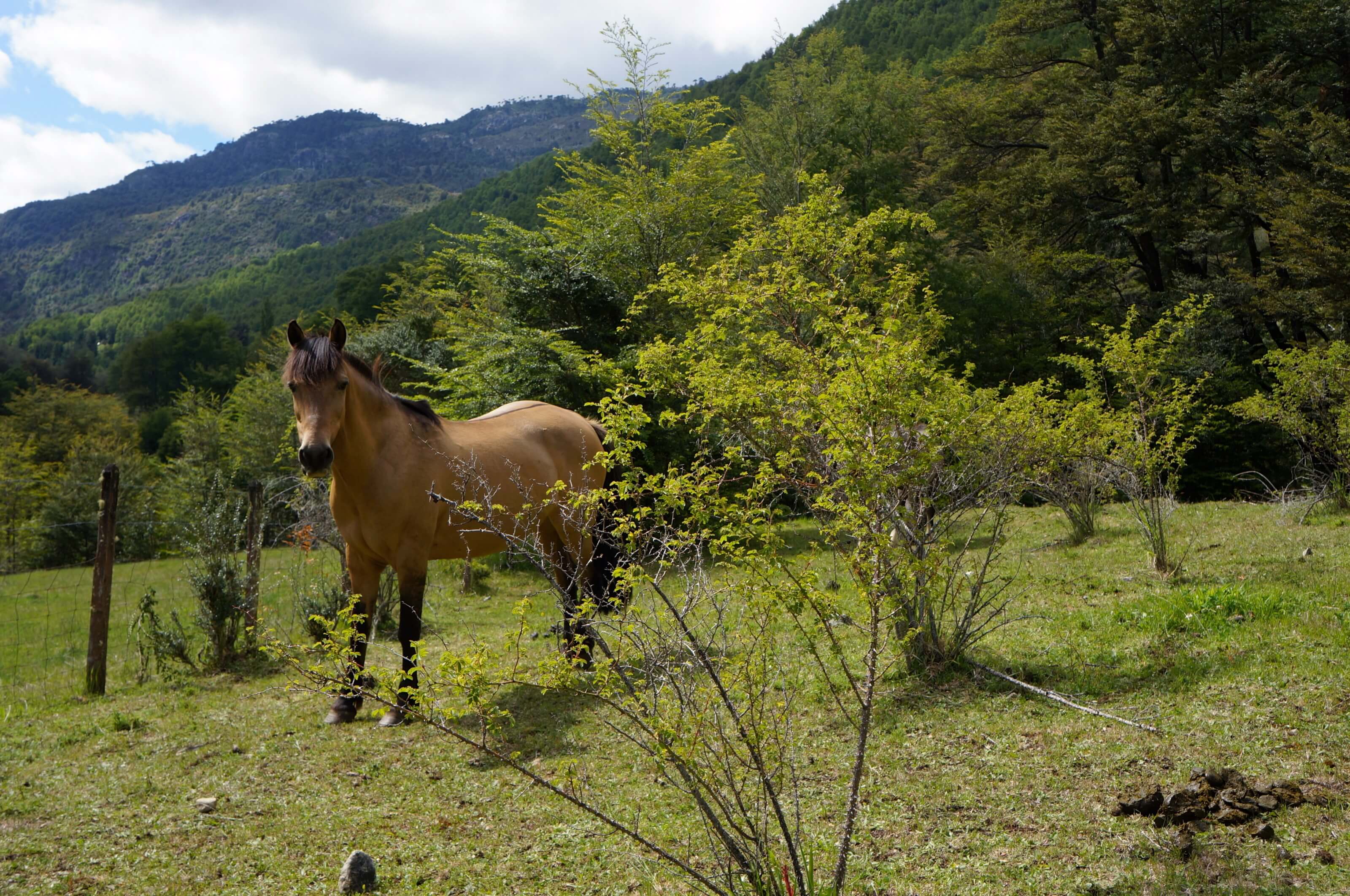
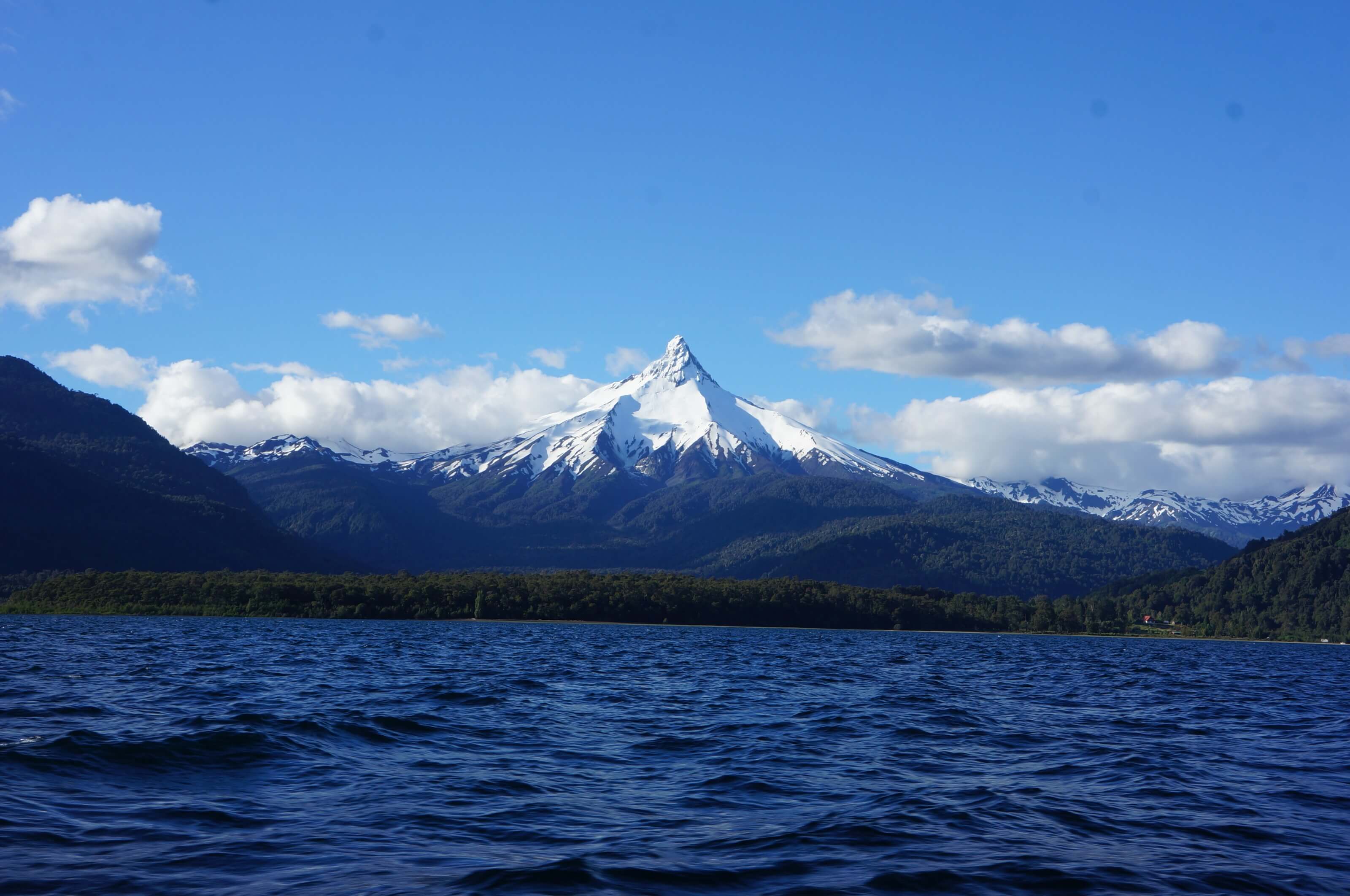
The variety of trees and plants, the multitude of birds flitting about, and the absolutely crystal-clear water… It was a true Garden of Eden! We then crossed some clearings that provided an unobstructed view of the majestic Puntiagudo Volcano. With grazing cows in the foreground, it felt almost like being in front of the Matterhorn!
The little paradise
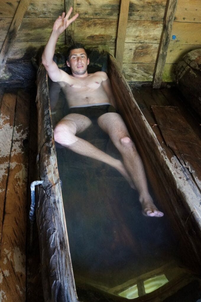
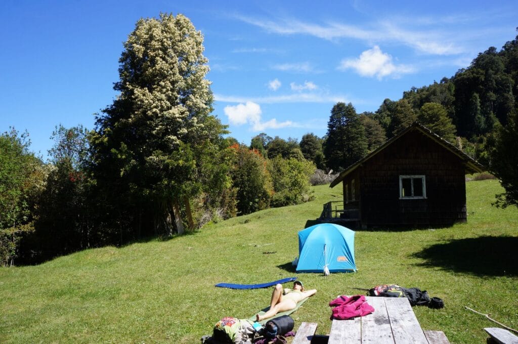
Forty minutes after passing the Refugio Valle El Callao (yes, some people live here), we reached the campsite where the Callao hot springs are also located. This camping spot is absolutely fantastic! There are some tables, spaces for a fire, a river right next to it, and, most importantly, a small cabin with two hot water basins! Can you imagine the bliss after a day of hiking? Since it was warm, we first jumped into the icy river before quickly warming up in the hot water basins… Paradise, I tell you!
To access the cabin with the hot water basins, you must stop at Refugio dos Condores to pick up the keys (3,500 pesos) and pay 8,000 pesos per person per night to sleep in the refuge, or stop further along at Refugio Valle El Callao to get the keys and pay 10,000 pesos per tent for camping and access to the hot springs.
Day 2: to Rupanco Lake and Puerto Poncho
If the landscapes in Patagonia are so lush, it’s also because it rains often. So, don’t imagine, just by looking at our photos, that we only had good weather! We waited several days in Puerto Varas for a reasonably good weather window. And when we woke up on this second day of hiking, unfortunately, the weather was not looking promising.
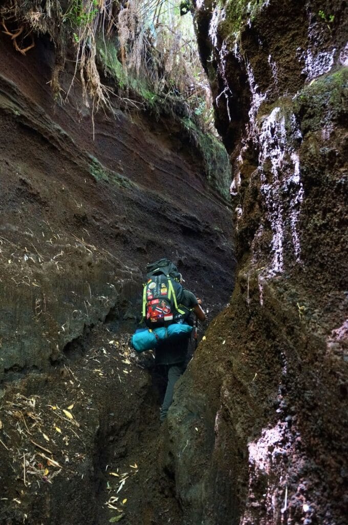
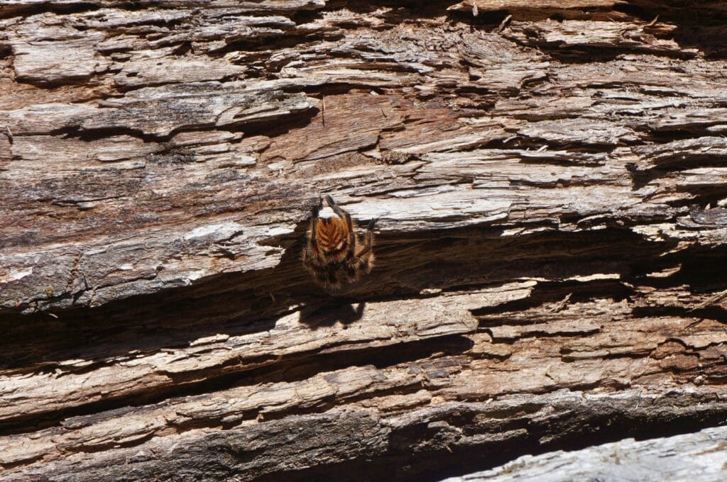
Today’s plan involves 16 km to reach the place called Las Gaviotas, located by Lake Rupanco. The day promises to be beautiful with the Laguna Los Quetros on the way and a descent toward Lake Rupanco, featuring a stunning view of the Casablanca Volcano. Unfortunately, we won’t see much of any of that…
Las Gaviotas
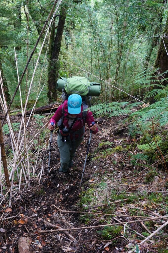
We start the day in the fog. At the first river crossing, I slip and end up with wet feet… Not the ideal way to start a hiking day! We then climb up to the Laguna Los Quetros, which we almost miss due to the fog. To make matters worse, it starts to rain. The already muddy path becomes even more challenging…
After a picnic break by the invisible lagoon, we begin our descent toward Las Gaviotas and Lake Rupanco. The trail is sometimes a bit hard to follow, and we have to cross a few rivers. We always try to keep our shoes on as much as possible given the water temperature! In the end, it’s manageable.
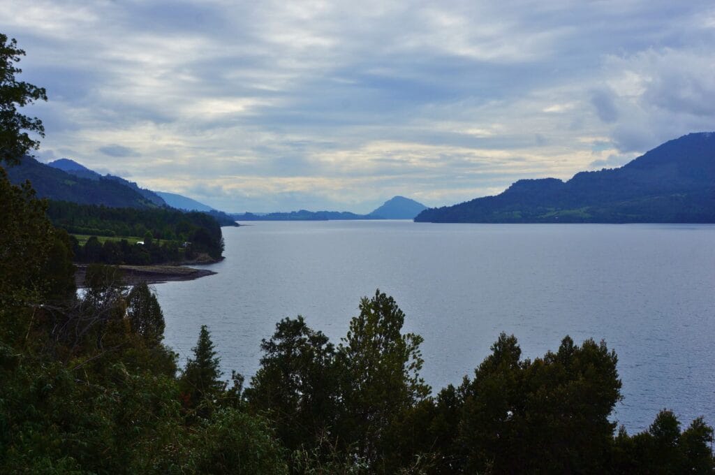
We pass through several clearings and pastures from which we should catch a glimpse of the Casablanca Volcano… But with this weather, it won’t be for us. On a sunny day, we can imagine the view must be spectacular!
As we approach the Lake Rupanco, we encounter a few farms and some beautiful vacation homes. It’s clear that this is an ideal spot for some peace! Since reaching Las Gaviotas by car is difficult, a few wealthy Chileans with boats have built stunning vacation homes by the lake.
Change of plans
We arrive at Las Gaviotas in the rain around 3 p.m., but the idea of camping in this weather doesn’t excite us… And since tomorrow’s weather doesn’t look any better, we decide, despite our fatigue, to walk the last 12 km today to Puerto Poncho, which marks the end of the trek and the first place where we can catch a bus.
Getting to Puerto Poncho isn’t particularly difficult; we just have to follow the trail and then the dirt path along the lake for 12 km. Along the way, we pass a few absolutely gorgeous villas with private beaches and stunning views of the lake and the Casablanca Volcano (which we still can’t see).
Arrival at Puerto Poncho and return to Puerto Varas
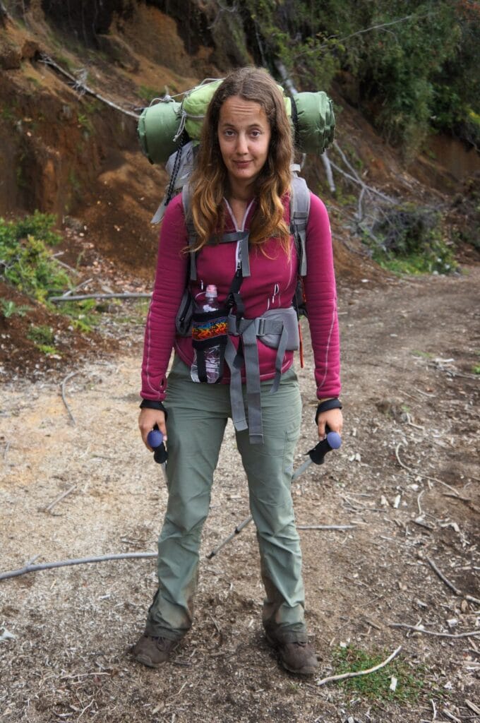
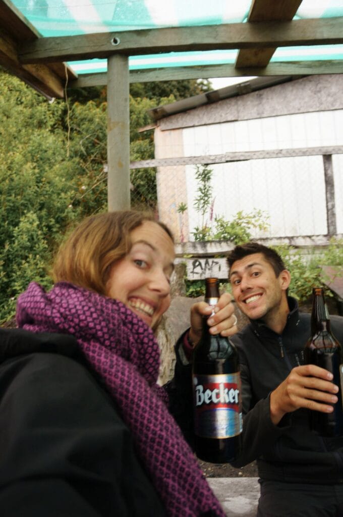
We arrive in Puerto Poncho around 6:30 p.m., exhausted after nearly 20 km of hiking with all our gear on our backs. To lift our spirits, we treat ourselves to a well-deserved beer at the only small grocery store before setting up our tent under a small shelter on the pebble beach. It even stops raining for the evening, giving us beautiful colors on the lake before going to sleep.
We’ll take the bus at 6 a.m. the next morning from the Puerto Poncho dock to return to Osorno and then Puerto Varas. There’s a bus at 6 a.m. and 3:30 p.m. from Monday to Saturday, and another on Sunday at 2 p.m.
Info
Trek map
Since the trail isn’t well marked, we recommend downloading the GPS track from AllTrails. You just need to have a (free) account.
Food
We ended up spending three nights in a tent, but if the weather had been nice the last few days, we would have preferred to stay four. So, plan for about four days of food in your backpacks.
We could also buy some bread and cheese at the Refugio Valle El Callao, but don’t count too much on it; they had hardly anything left when we passed through. And don’t forget to bring enough snacks! There’s nothing like a little caramel or a piece of chocolate when it’s cold and raining!
Clothes/shoes
I think we packed a bit too much, but it can get quite chilly at night. So don’t forget a hat, a fleece, a good waterproof/windproof layer, and a swimsuit for the hot springs! We brought thermal underwear that we ended up not using.
For shoes, make sure to wear well-insulated hiking boots. I started with low-top trekking shoes, which I regretted. They are great for a trip around the world because they are versatile, but for a trek like this, they’re not ideal. It’s much better to have higher boots for walking in mud and crossing rivers.
Sendero Paso Desolación
From Petrohué, there’s a lovely day hike to the foot of Osorno Volcano: I’m talking about the Sendero Paso Desolación. Yes, it was our plan B!
The hike
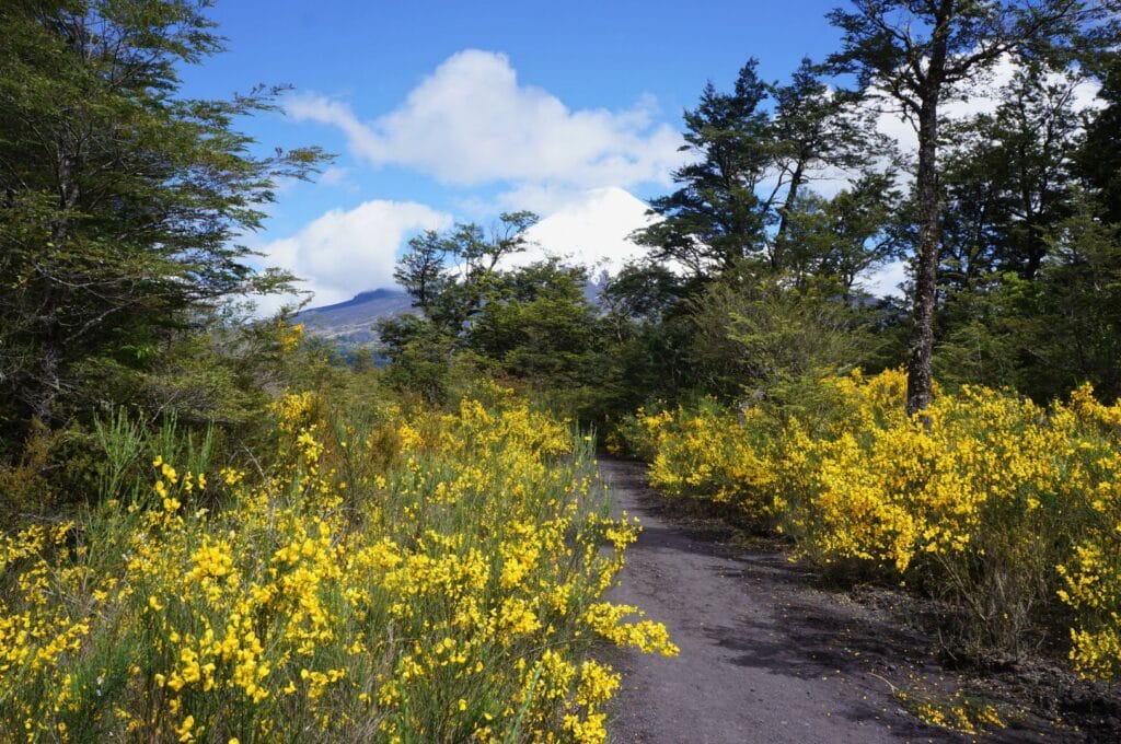
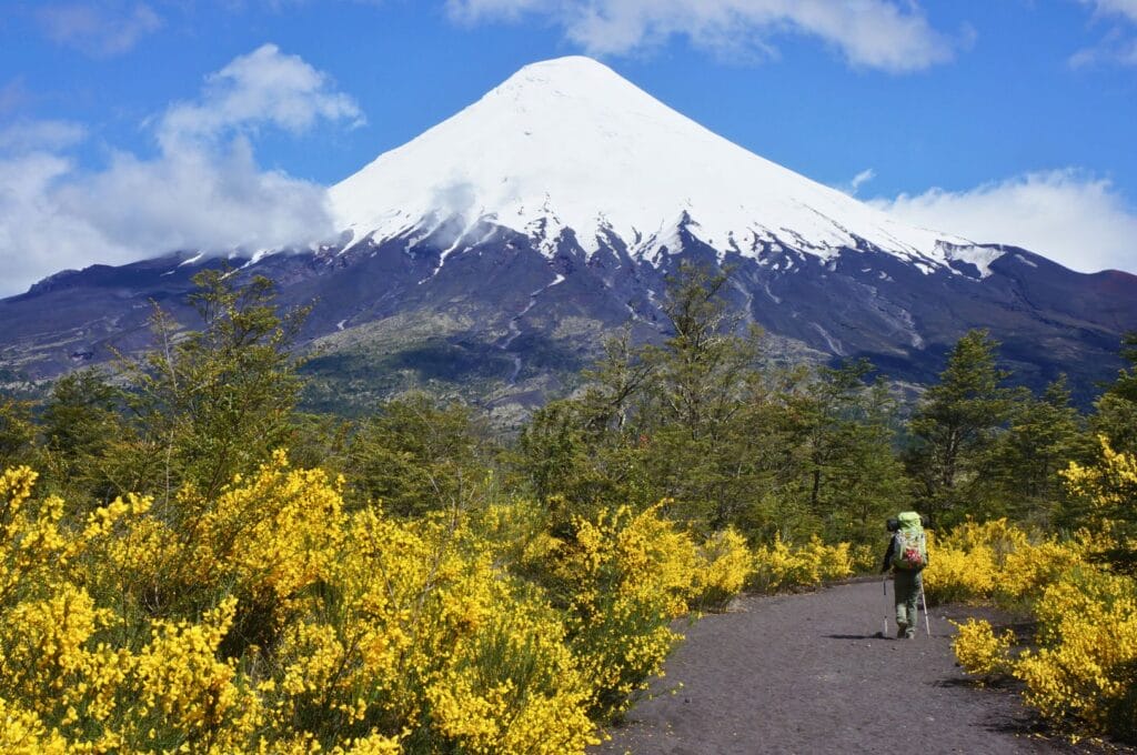
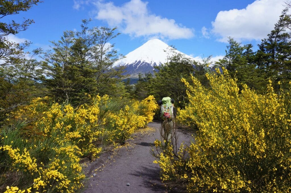
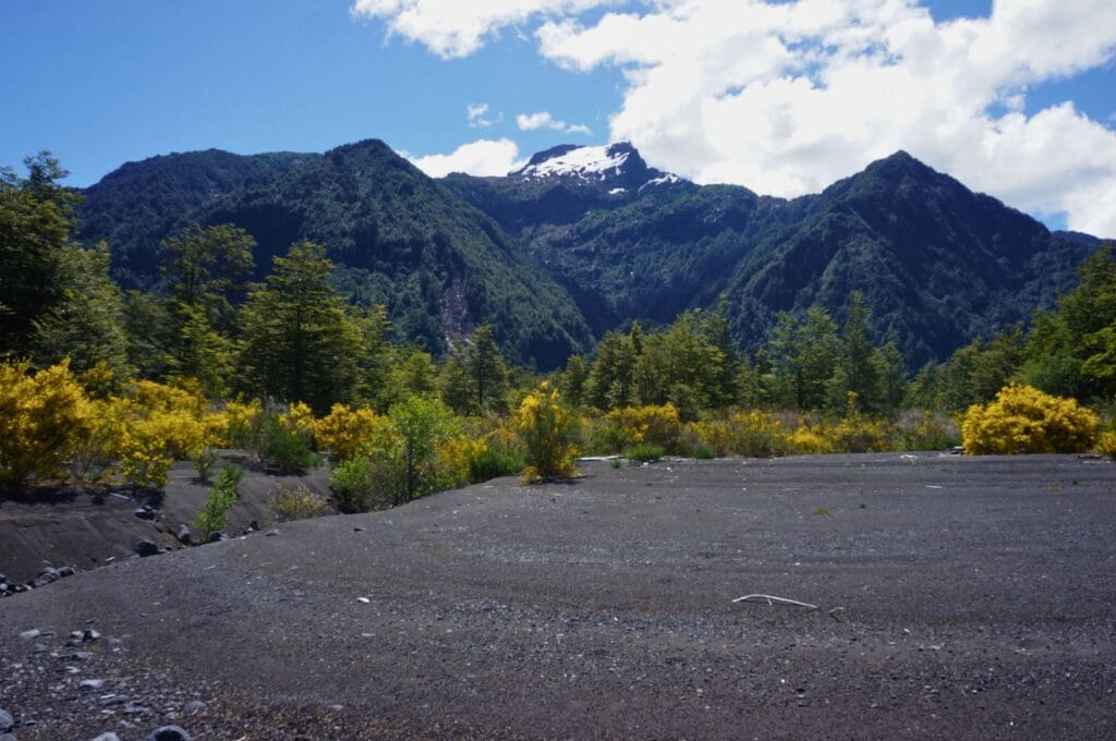
We start with a stroll at the foot of the volcano, enjoying an incredible view. Imagine thousands of yellow flowers (the retamas that bloom in November in Patagonia) with the perfect shapes of Osorno in the background. It would have been a shame to miss that! We then climb up to a viewpoint with stunning views of Lake Todos los Santos, perfect for a little picnic. Instead of continuing further up toward the volcano, we decide to head back down and make a loop along the lake’s edge. The contrast between the black volcanic sand of the beach and all those yellow flowers is striking. We take the opportunity to relax for a moment and take plenty of photos. After 5-6 hours of walking, we complete the loop and find ourselves back in Petrohué.
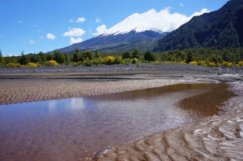
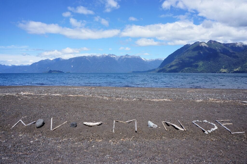
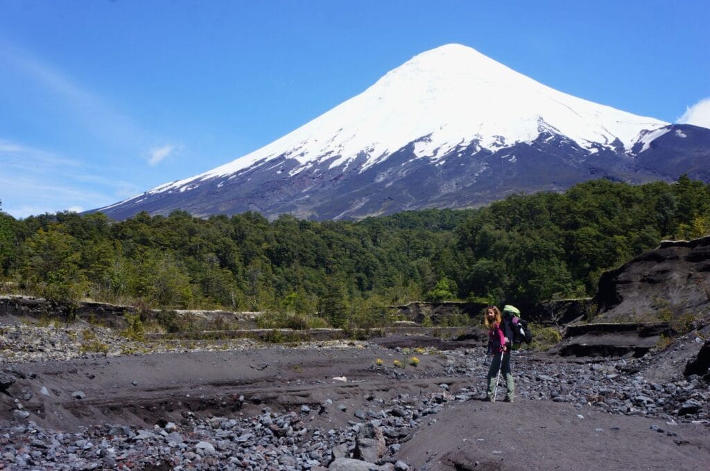
Info
- Distance: approximately 24 km
- Elevation gain: around 750 m up and down
- Duration: expect 6 hours of walking
You can download the track of our hike here.
Saltos del Río Petrohue
We initially planned to pitch our tent at the Petrohué campsite to visit the waterfalls the next day (located 6 km upstream on the road). But fate intervened, as you read earlier. So we didn’t see the famous falls, but here’s a little photo because they look beautiful!
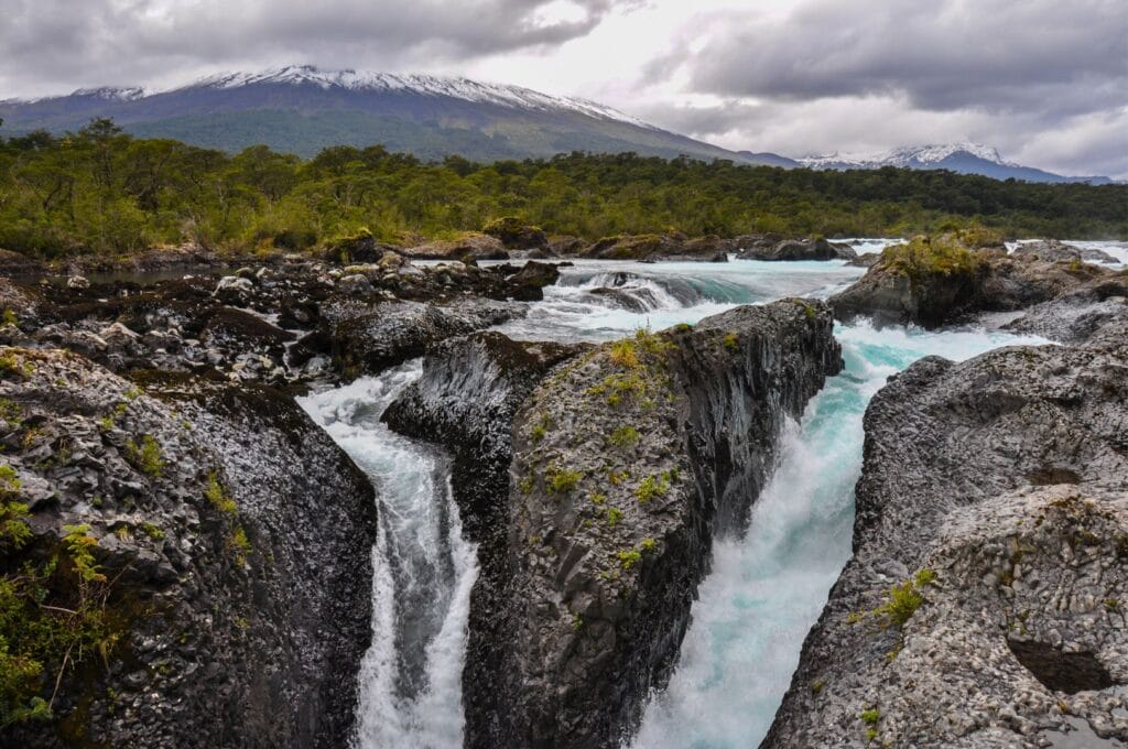
Here’s all the practical information you need to visit Saltos de Petrohué Waterfalls and the map that goes with it.
- From Pétrohué (in red): 6.3 km one way, easy.
- From the parking lot (in blue): 1.7 km, easy.
- Don’t forget to purchase an entrance ticket, valid for the entire park
Note: for an all-inclusive day with an excursion to Osorno volcano + Petrohué waterfalls, we recommend this guided tour from Puerto Varas.
Review of our trek in Vicente Pérez Rosales Park
That’s it for the Lakes District, Puerto Varas, and the trek in Vicente Pérez Rosales National Park in Chilean Patagonia. It’s a stunning and secluded natural area, and you’re likely to find yourself alone on the trail. Plus, the opportunity to enjoy hot springs in such a setting is quite dreamy, isn’t it? We hope you enjoy it as much as we do! For the next leg in Patagonia, we’re tackling something big: Torres del Paine National Park!
Pin it

Hey! Loving your website and think trek has given us great inspiration. Can’t wait to do it ourselves soon. Quick question, did you have to have tickets for every day of your trek or just the first day as it is an “entrance” fee?
Is it just one 7,800 ticket each?
Thank you!!
Yeah you just pay the entrance once per person