It seems that the month of April is starting to look like the month of the year when we publish a new book 😉 In 2018 we launched "How to prepare a round the world trip" and in 2019 it was "Beer hiking in France". In 2020, we're changing the format a little bit (we go digital) but we promise you, we are super excited about it!
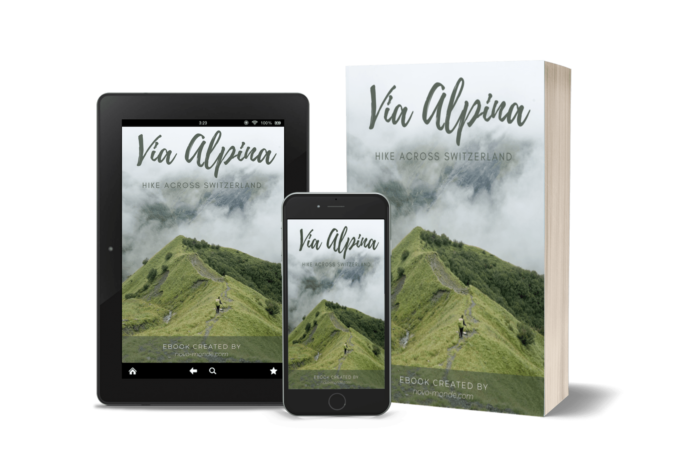
This year we have decided to publish an ebook and complete guide about what remains, to this day, the most beautiful hike we did: the Via Alpina!
The Swiss Via Alpina: our most beautiful project
If you've been following us for a while, you may remember that in the summer of 2017 we set off on what is still our longest hike to date: The Swiss Via Alpina.
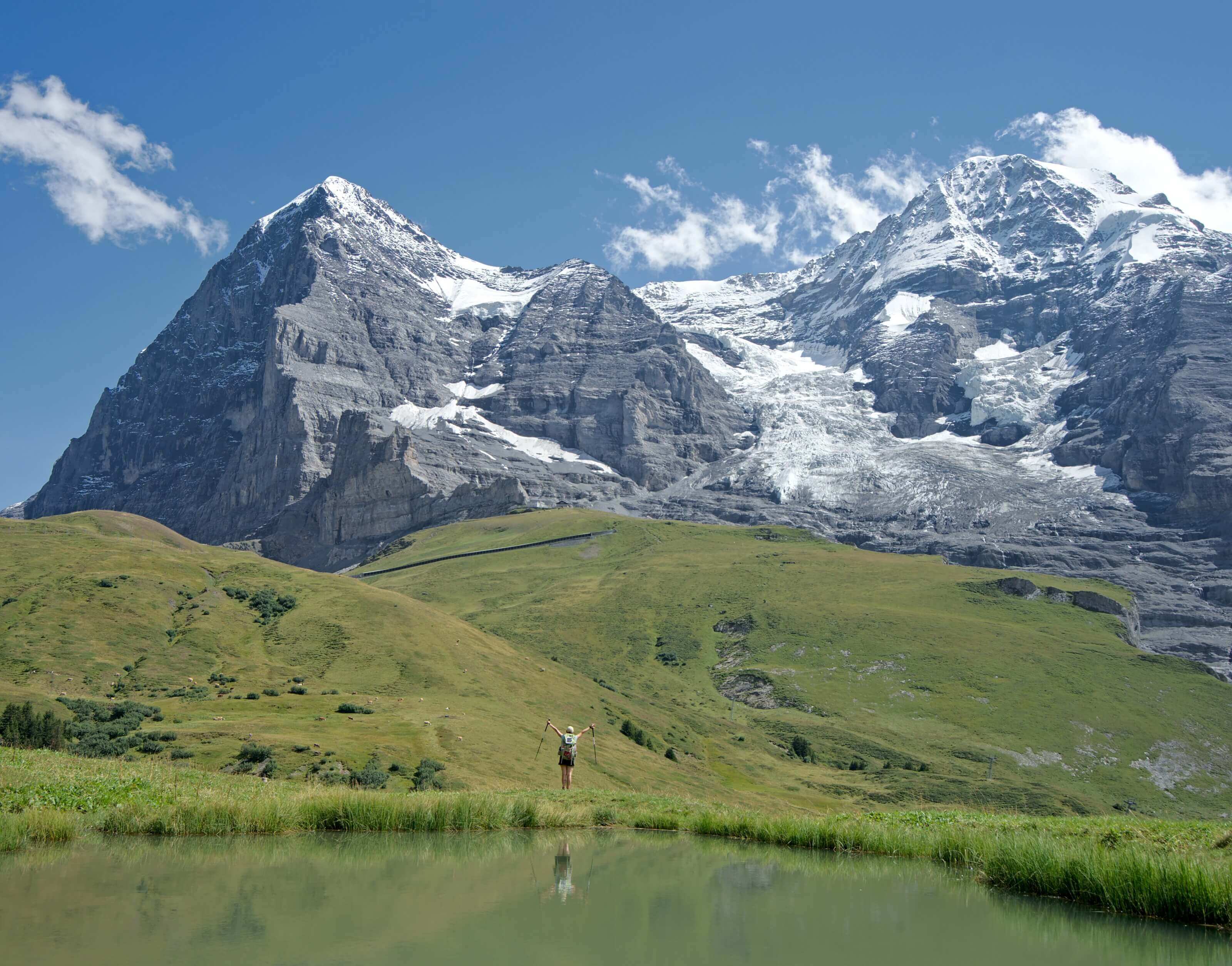
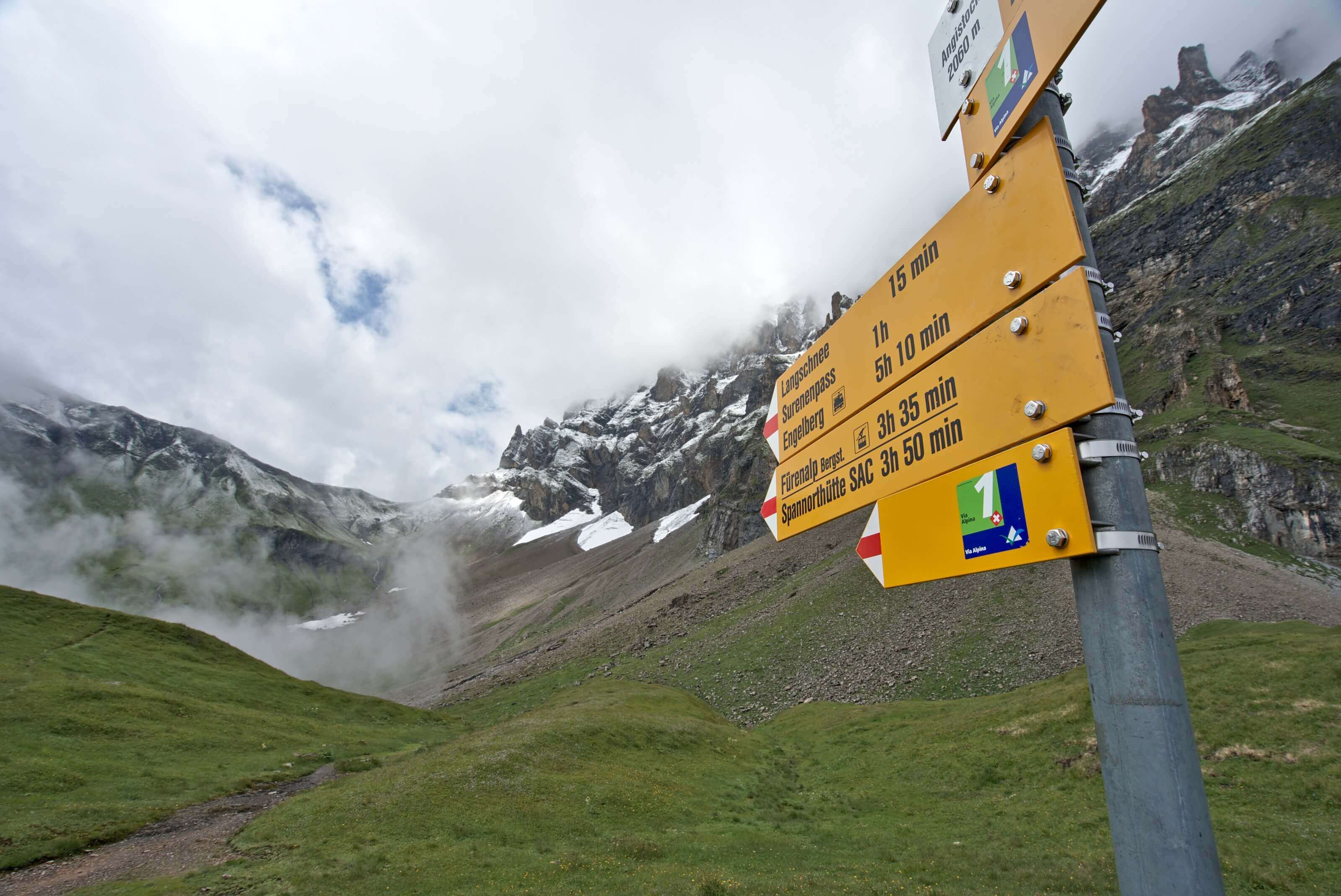
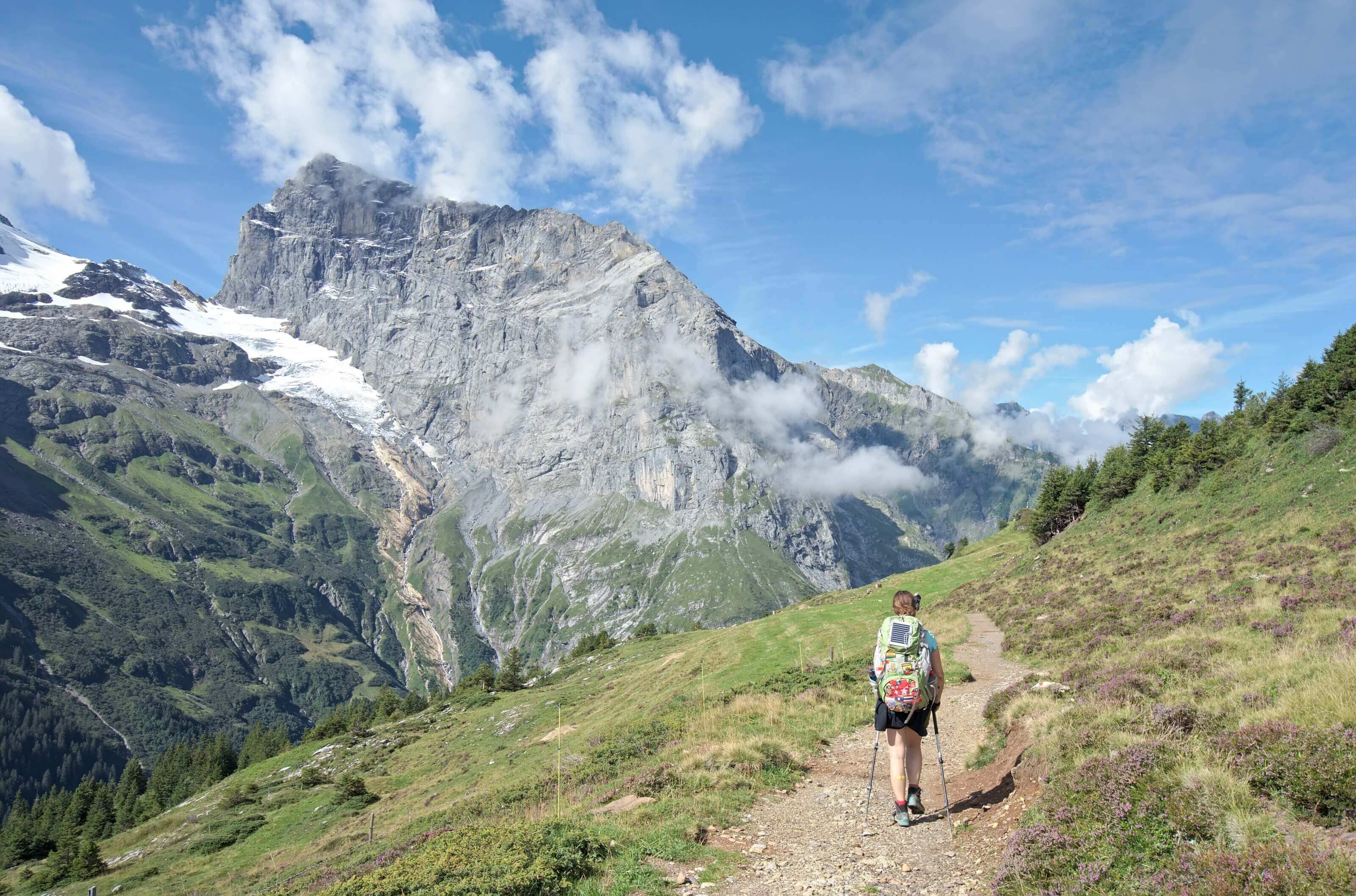
Starting from Sargans in the east of Switzerland, we reached Montreux on the other side in 23 days through the Alps. A magnificent itinerary which certainly left us with some sore muscles and pains, but above all with lots of incredible memories 😉 All in all, the route we followed was 380km long and not far from 26'000m of elevation gain and loss. A sporty route, but with some incredible views.
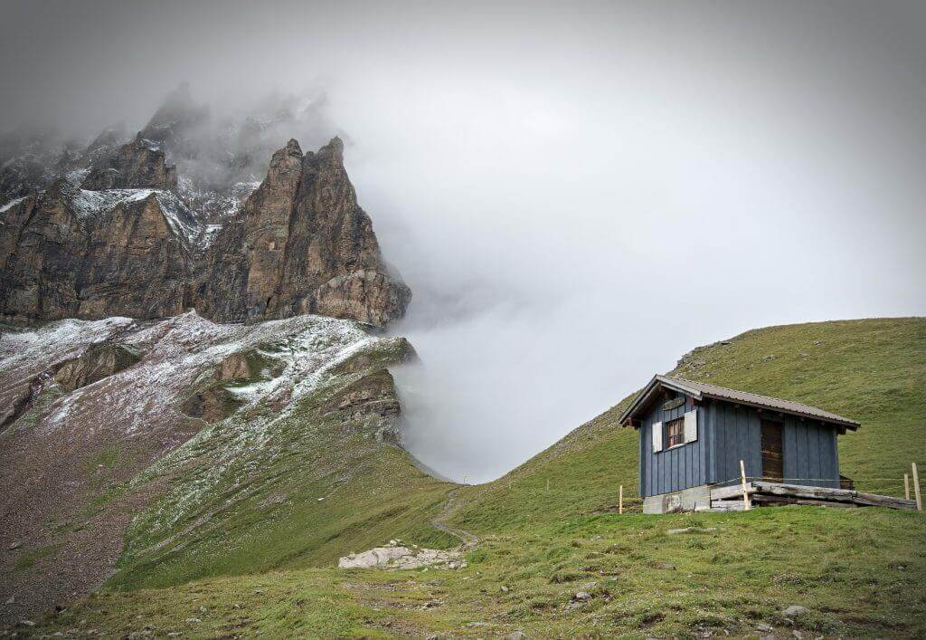
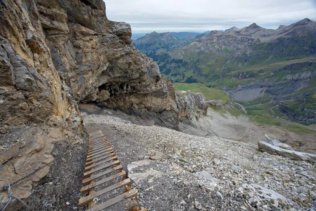
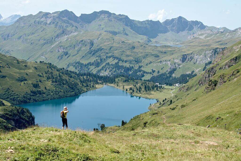
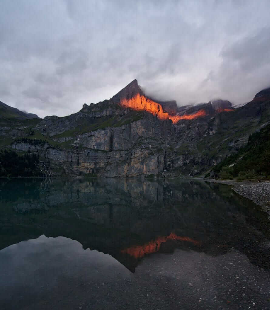
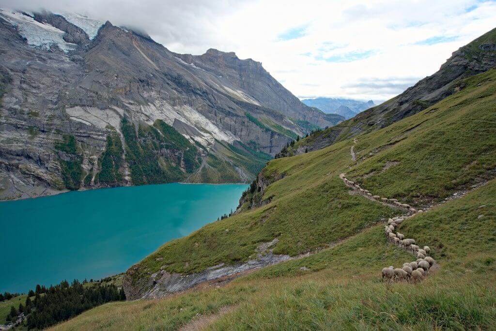
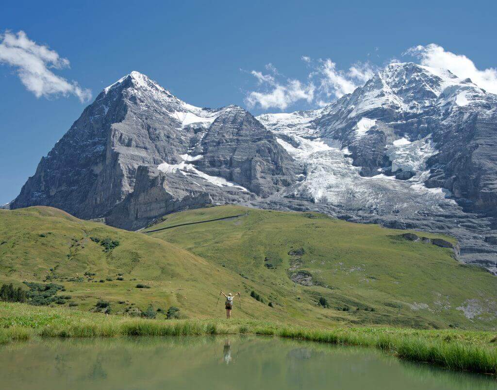
Already when we were on the Via Alpina trails we had great fun sharing with you our best pictures and some stories of our journey on the blog. For 2 years now, we have also been receiving many questions about our itinerary and the few variations we did. These numerous messages, but also all the beautiful pictures we had left to share with you, have motivated us to create a brand new guide dedicated to this beautiful alpine hike. It is thus in April 2020 that our latest book is published: "Via Alpina: hiking across Switzerland through the Alps".
Presentation of the "Via Alpina" ebook
Our Via Alpina guidebook in a few words:
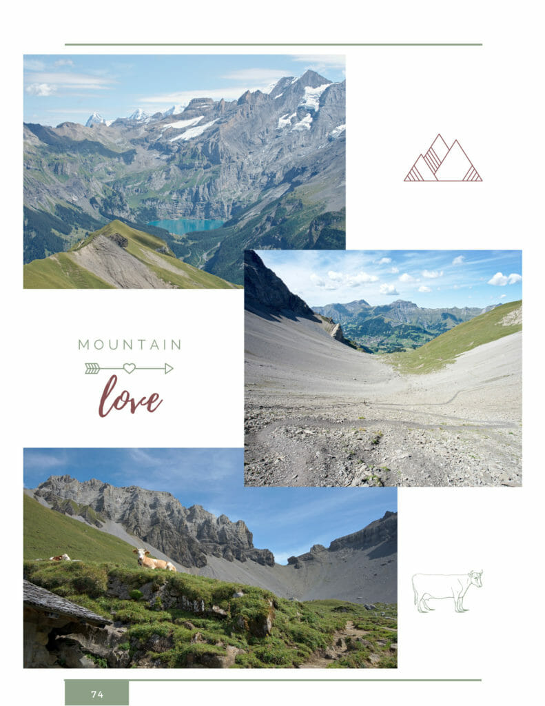
 107 detailed pages, nicely illustrated with our most beautiful photos
- Price: 20€ (or 15€ if you help us to spread the word... more info about this below)
- Available in French but also in English
- An entire section dedicated to the preparations with a list of equipment, tips for food and bivouac, the budget to plan, our favorite apps for orientation and weather forecasting, and much more...
- A large section dedicated to our "day by day" stories in which we talk about our challenges but also about our favorite spots along the trail (as well as some scenic variations we decided to do). You will also find the detailed route of each stage, the elevation difference and all the important information (water, accommodation...).
- The maps of all stages downloadable in GPX format
- A French-English-German and Swiss-German lexicon specially dedicated to hiking in the Alps
- Our selection of the most beautiful sections that you could hike over a long weekend
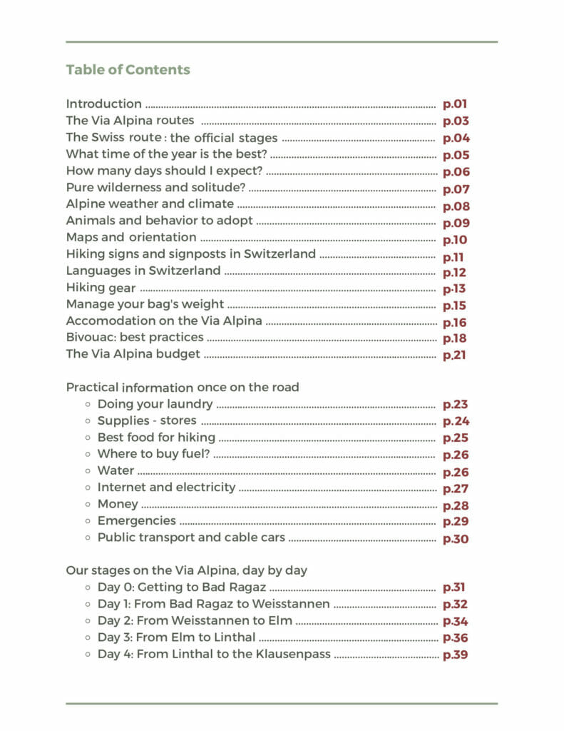
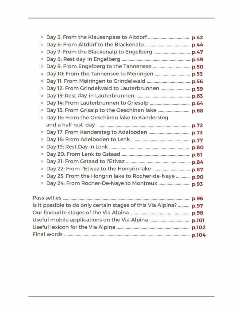
Just so you can get a better idea, here's the complete table of contents:
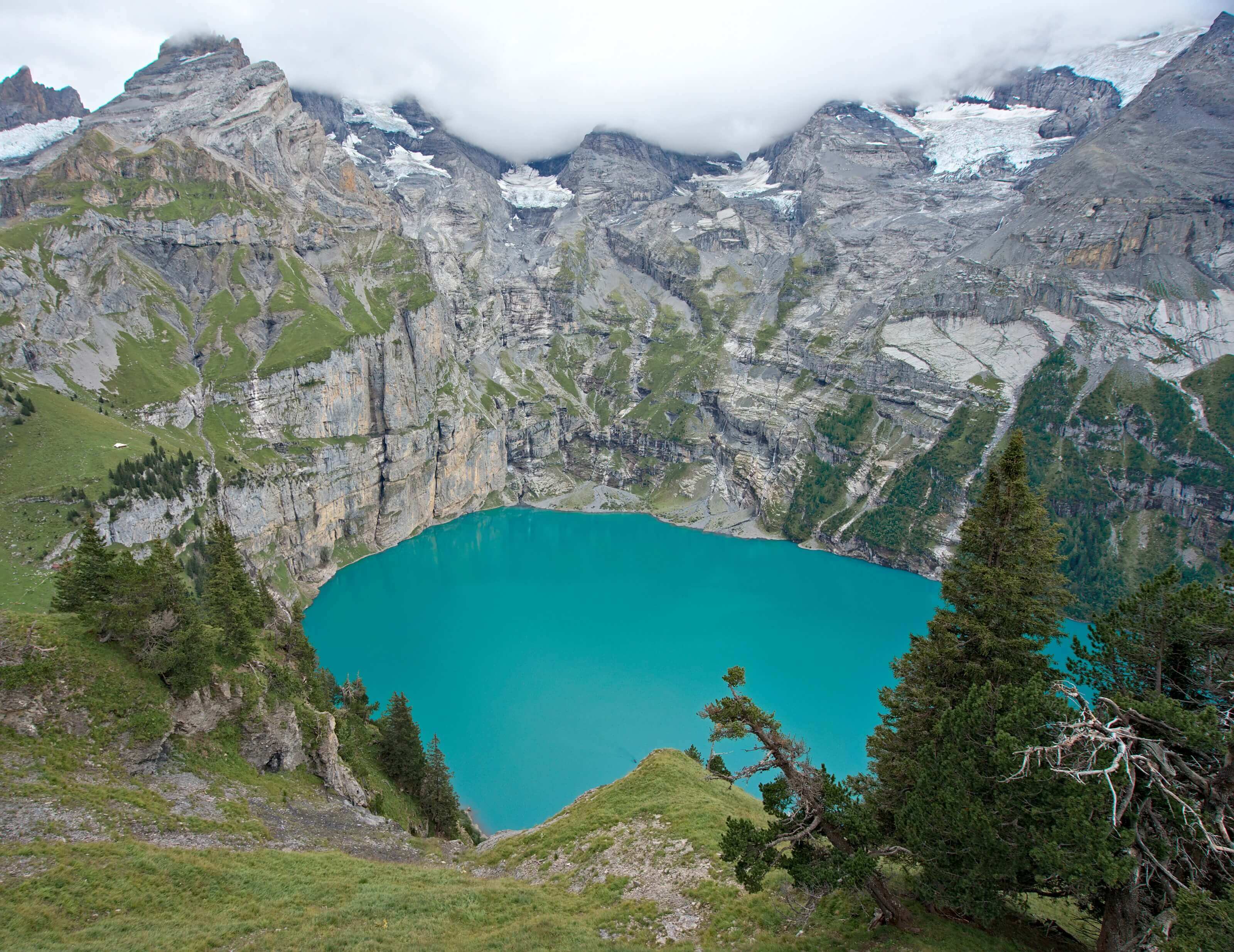
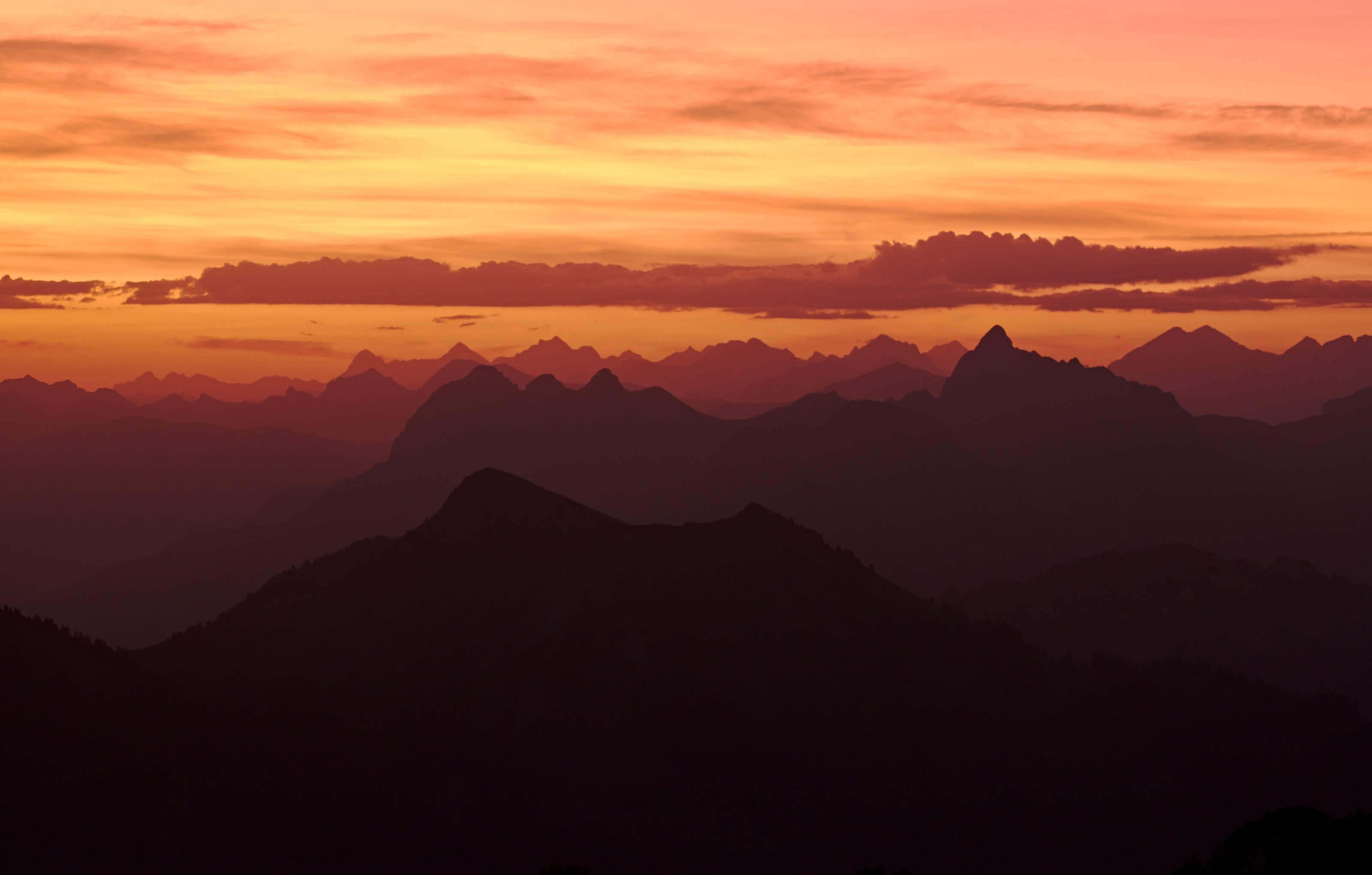
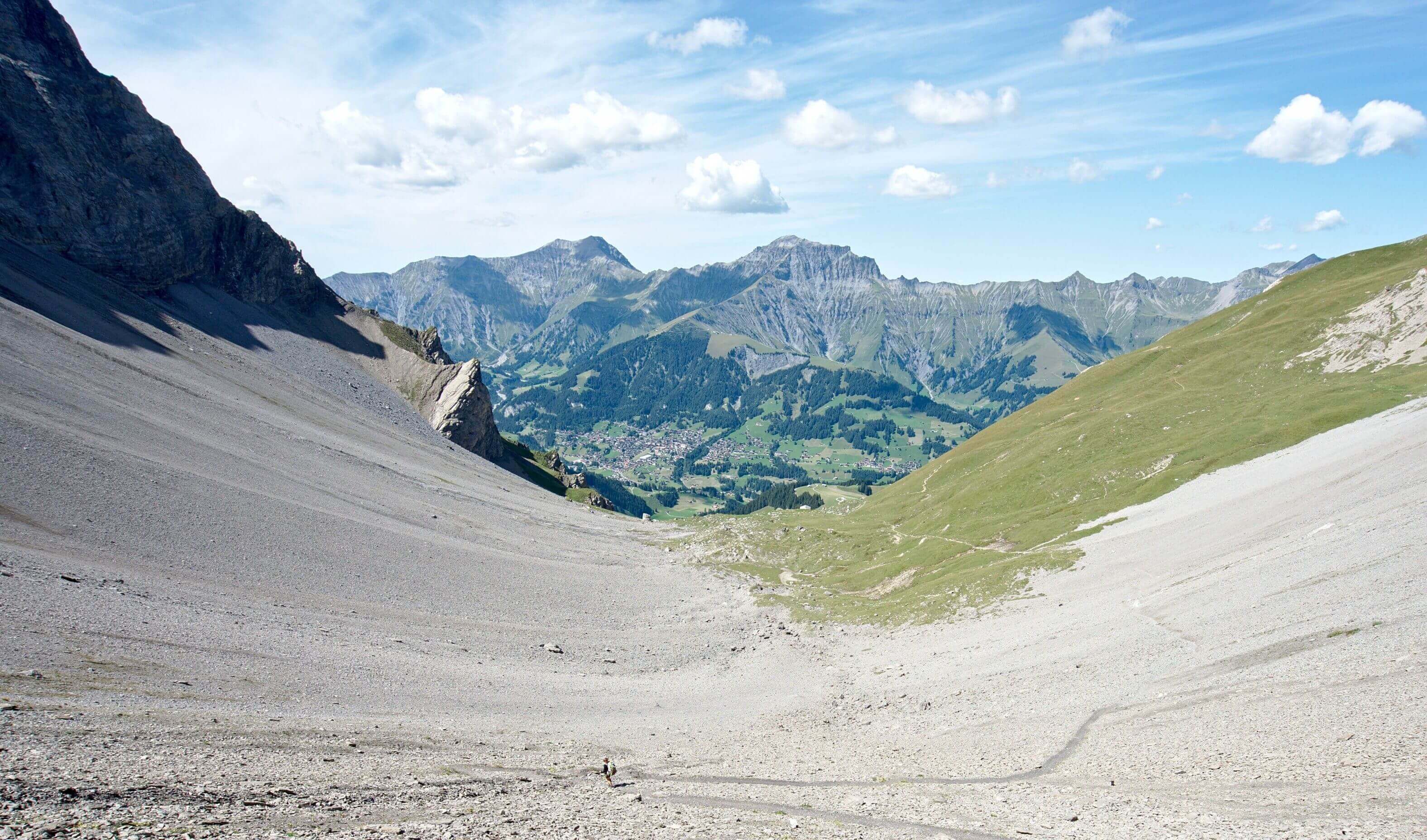
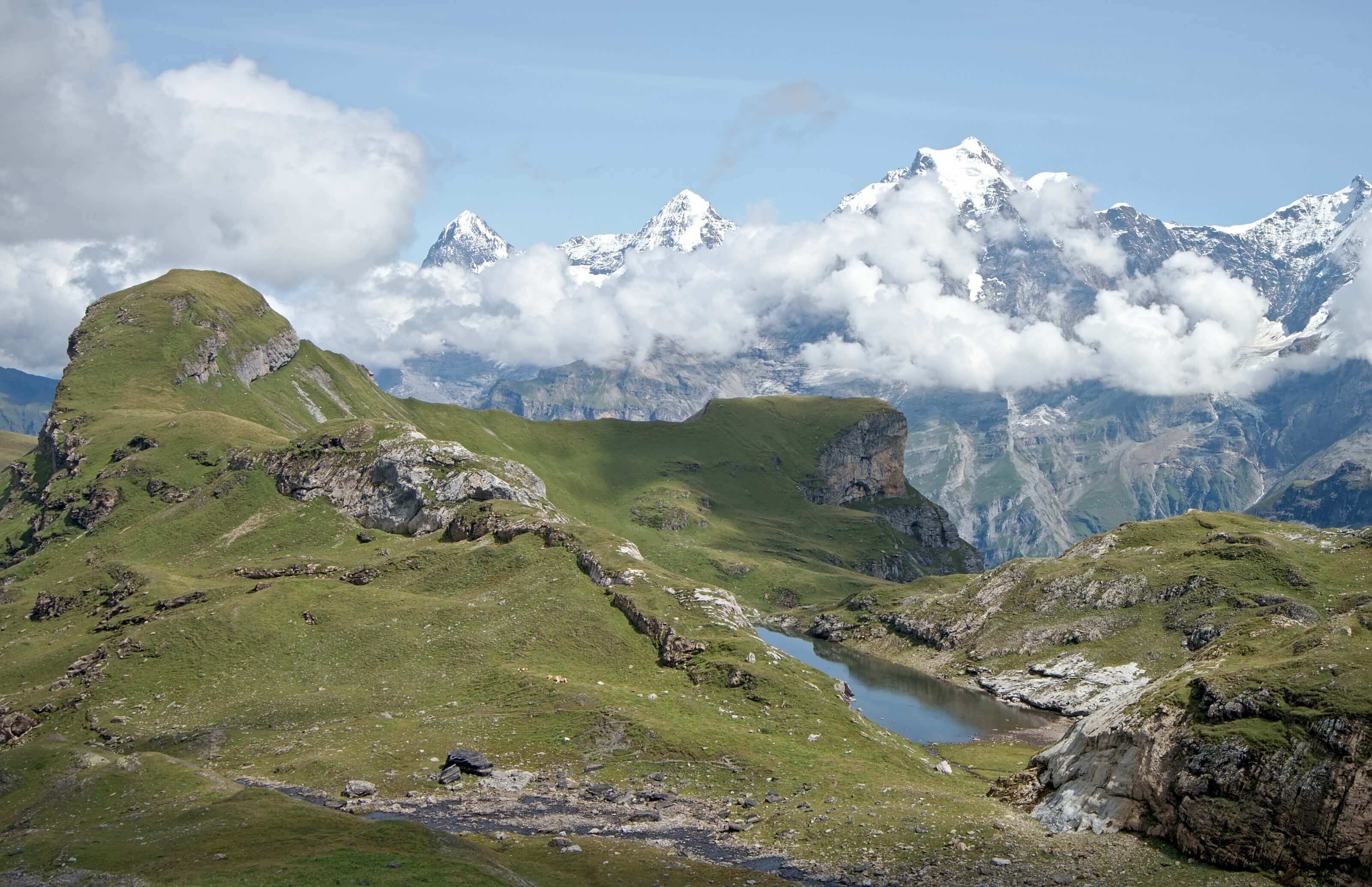
Here's a small image preview of what awaits you in our guide:
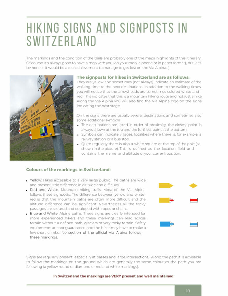
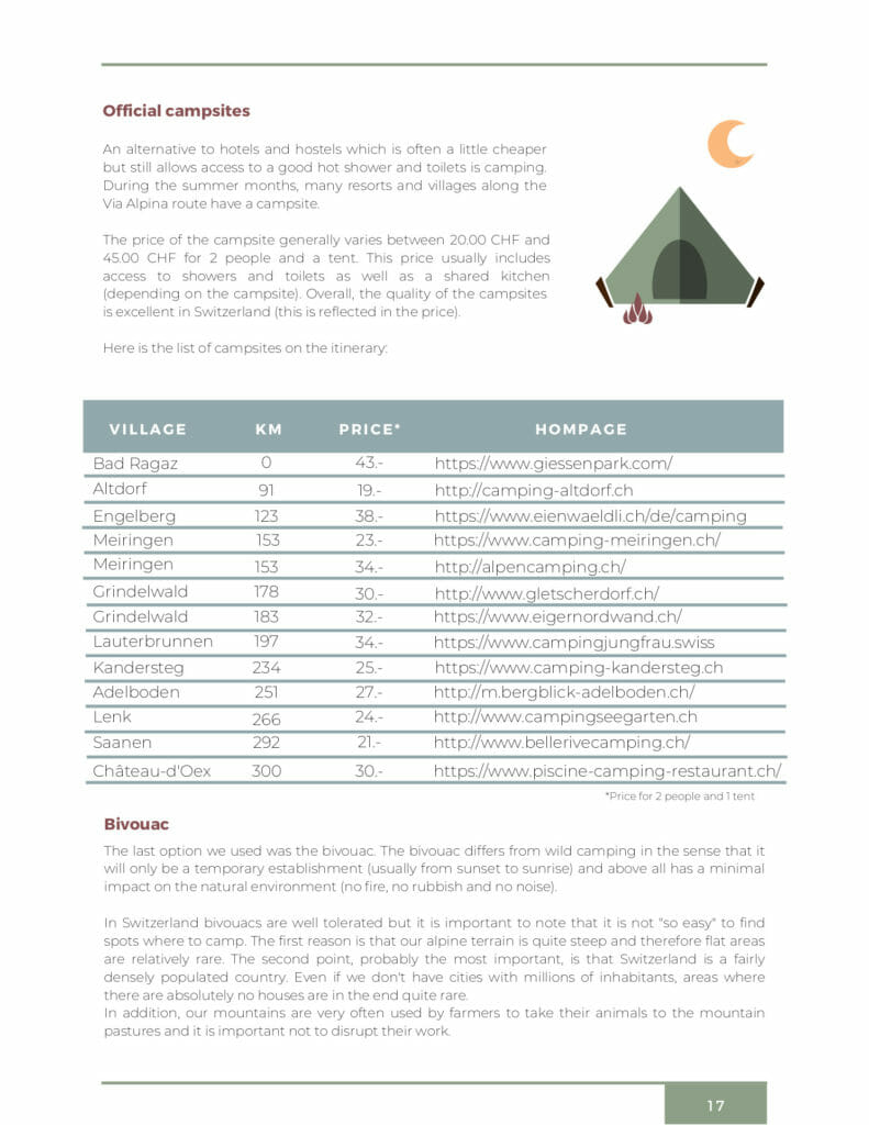
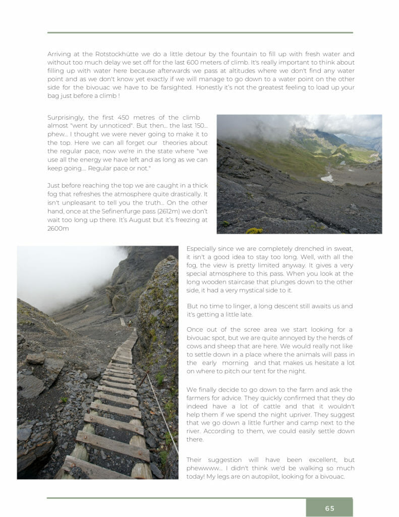
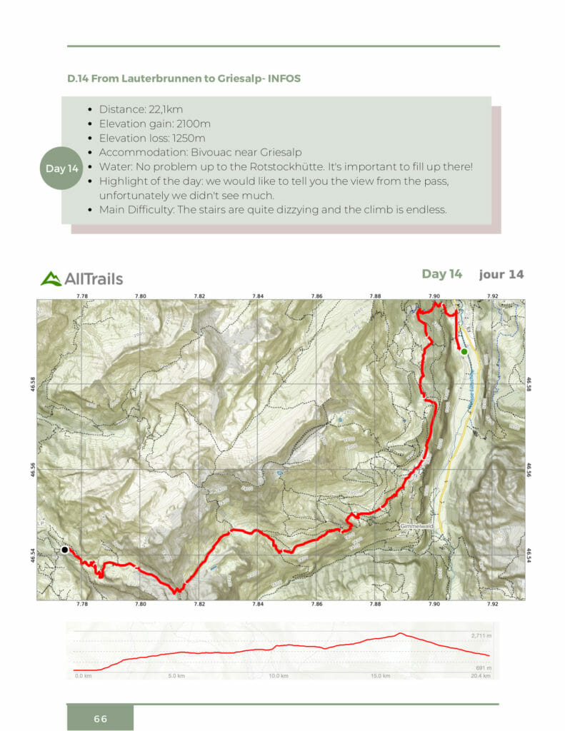
Who is this ebook for?
To all Swiss and mountain lovers of course!
No, more seriously, this ebook is intended for all those who plan to hike all or part of the Via Alpina.
During our hike we shared a lot of information and photos in real time. We published a total of 8 articles that you can find on this page as well as many videos that you can watch here.
But the ebook differs very clearly from these articles by its organization (we did a big synthesis work) and all the practical information you will find there. You will find a lot of tips and advice for the preparations, our most beautiful photos to dream and especially the hiking maps (day by day) and GPX files to help you find your way.
If you prefer to have our ebook in epub format (for your e-readers), you can also buy it directly on Fnac/Kobo or Apple books (Then, if you want to get the GPX files of the Via Alpina, contact us by email at contact[at]novo-monde.com with your order confirmation).
Why create an ebook and not a paper book?
Let's be honest, we hesitated a lot about the format! After having released 2 "paper" books, it would have seemed logical to continue in this way. Totally happy with the welcome received by our first two books and still as convinced as ever by our beloved publisher (Helvetiq), it would have seemed logical to go on another ride, wouldn't it?
After some reflection, we came to the conclusion that in fact no. We do not exclude to republish a paper book one of these days, but let's say that for this project we wanted to try the adventure alone. The main reason? The thematic!
In fact, for us it was essential to create a guide with very practical information that would be useful in the preparation phase but also once on the road with addresses and maps. One of the first thing we recommend in the preparations is to limit the weight of your bag... We also explain in the ebook how we decided to give up paper maps in favor of 100% digital maps for this hike for space/weight reasons. With this in mind, it would have been a bit strange to give you a 500gr book to add to your bag, wouldn't it?
The second reason is obviously that with a digital format like an ebook, we do not need to go through a publisher, a distributor, a bookseller to sell our books. You certainly know that an author only gets a small percentage for each book sold in stores or on the web (usually between 5% and 10%). With an ebook, we obviously have to do everything (design, proofreading, translation, promotion, sales) but obviously we earn more money per book sold. So we wanted to give it a try and see what what the result would be.
Help us spread the word about our ebook and save 25%
We say that "Sharing is caring" no? Since we launched our blog, it is also thanks to your numerous shares that we have been able to develop a great audience for our website.
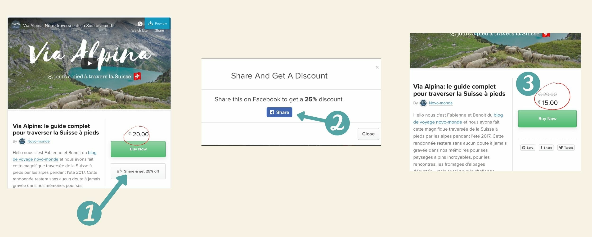
In fact, today we wanted to reward all these shares and offer you a 25% discount on our ebook against a share on your social networks. To do this, there is nothing simpler:
- Just go on the ebook selling page
- Just click on "Share and get 25% off"
- Voilàààààà, the price is 25% cheaper 😉 .
After that, if you want to support us more or if you don't want to buy the ebook, you can of course also simply share this article with your hiking friends. 🙂 Thank you very much for your help!
Notice to bloggers and website owners: If you want to sell our ebook on your website and earn a commission (and not just 10% as at Amazon 😉 ) please contact us! We offer affiliate commission on each sale of the ebook and would be happy to show you how to easily integrate our ebook into your site.
Writing an ebook, a heart-and-sweat project
It's not too common for us to ask you directly to share our content, but let's bend our rule a little. Why should we do that? Simply because this ebook is a project that has been close to our hearts for almost 3 years now. We had started it when we came back from our hike but never took the time to finish it and to layout it.
These last weeks of confinement have motivated us to put our priorities in order and for almost a month now we have been working tirelessly to finalize this book. Writing, proofreading, translation, photo editing, map & GPX creation, layout, technical implementations, we've been busy! We hope you like the result! 🙂
Through this ebook, we sincerely hope to have been able to gather enough beautiful pictures and practical information to inspire and help you embark on this incredible hike (the whole hike or just a part). And if you still need a some additional reasons to take the plunge, we share below the video we had published when we came back 😉 (with English subtitles)
Take care of yourself and your loved ones and hope that the summer of 2020 will be filled with beautiful hikes in our beloved little mountains. For our part, we are already actively thinking about our challenge for this summer! Let's see what will happen

I’m really enjoying this e-Book… I have referenced it many times in my planning for my upcoming trip on the Via Alpina. Thanks again!
Hello Linda. We are really glad to read that you found our book helpful. We hope you’ll have a great adventure on the swiss Via Alpina trails (well there is no doubt about it 😉 ). Enjoy!