As you may have noticed, just because we came back from a trip around the world doesn’t mean we put away our hiking shoes:). It must be said that since our return, we had promised ourselves to discover a little better our beautiful Switzerland… And what better way than hiking to explore our mountains and enjoy the exceptional landscapes they offer us.
Recently, we had already had some great fun on the paths around the 5 lakes or the Corbassière glacier in Valais, so when Mireille from the Val d’Hérens contacted us to offer us to do a 3-day hike in her region, we obviously accepted.
Especially since for this walk, we were accompanied by Laurène and Olivier from the blog Carnets d’escapades, with whom we had been discussing doing something for a long time.
The Val d’Hérens, where is it?
You certainly know the Matterhorn (Toblerone Mountain 😉 ) and the village of Zermatt in Valais. Well, the Val d’Hérens is right next door! In fact, you can see the Matterhorn very well from several places in the Val d’Hérens.
But the Val d’Hérens is much more than just “a valley next to the most famous mountain in Switzerland”. As you will see later, the Val d’Hérens has its share of beautiful mountains (Dent Blanche, Mont Collon, Pigne d’Arolla or Mont Blanc de Cheilon to name only a few).
And it is also a much quieter and more traditional valley than its neighbour. There are very typical villages (you know the wooden chalets from the postcards) where the inhabitants have preserved the old Valais traditions (which is no longer too much the case on the Zermatt side where tourism has developed at the speed of light).
All this to tell you that the Val d’Hérens is a bit like the ideal hiking destination in Switzerland…. Few people on the trails, local products to fall for, traditions still very present and of course, breathtaking landscapes. No, frankly, you’ll see, we were bluffed. 😉
Update 2020: our love for the Val d’Hérens has only increased in recent years. We recently published an article with 4 autumn hikes in the Val d’Hérens (day hikes).
The walking tour of the Val d’Herens
As you can imagine, the Val d’Hérens hiking tour is a 3 to 5 day tour that covers the entire length of this magnificent valley. In our case, we did only part of the hike (3 days) for this first time here.
Update: We have done the remaining 2 days 1 year later. More about this second part.
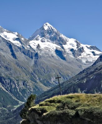
We walked at the foot of glaciers dominated by Mont Blanc de Cheilon, Pigne d’Arolla or Mont Collon which are all peaks of more than 3500m. We were able to observe the majestic Dent Blanche (4357m), discover one of the highest dams in the world, walk through preserved villages and taste the region’s products… And on top of that, we got perfect weather!
Well, we’ve made you salivate enough, haven’t we ;)… Then, we’ll take you with us on the Val d’Hérens tour!
Stage 1: Thyon – Grande Dixence Dam
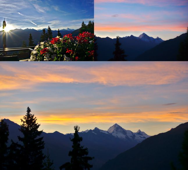
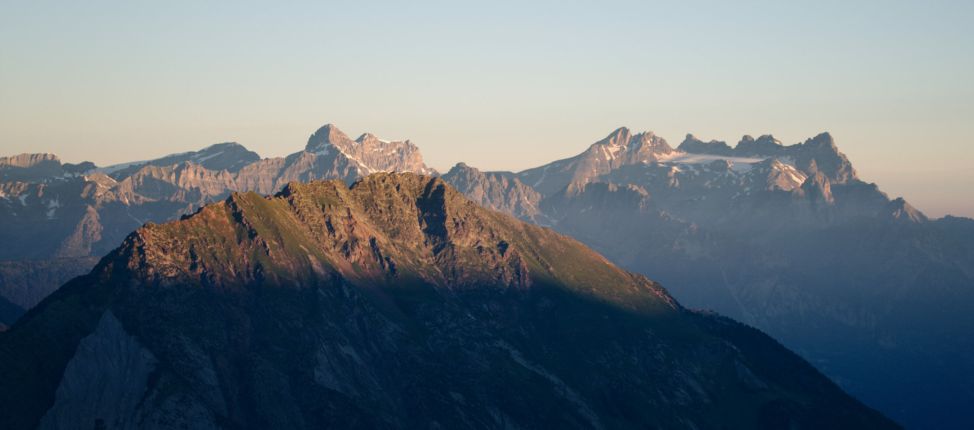
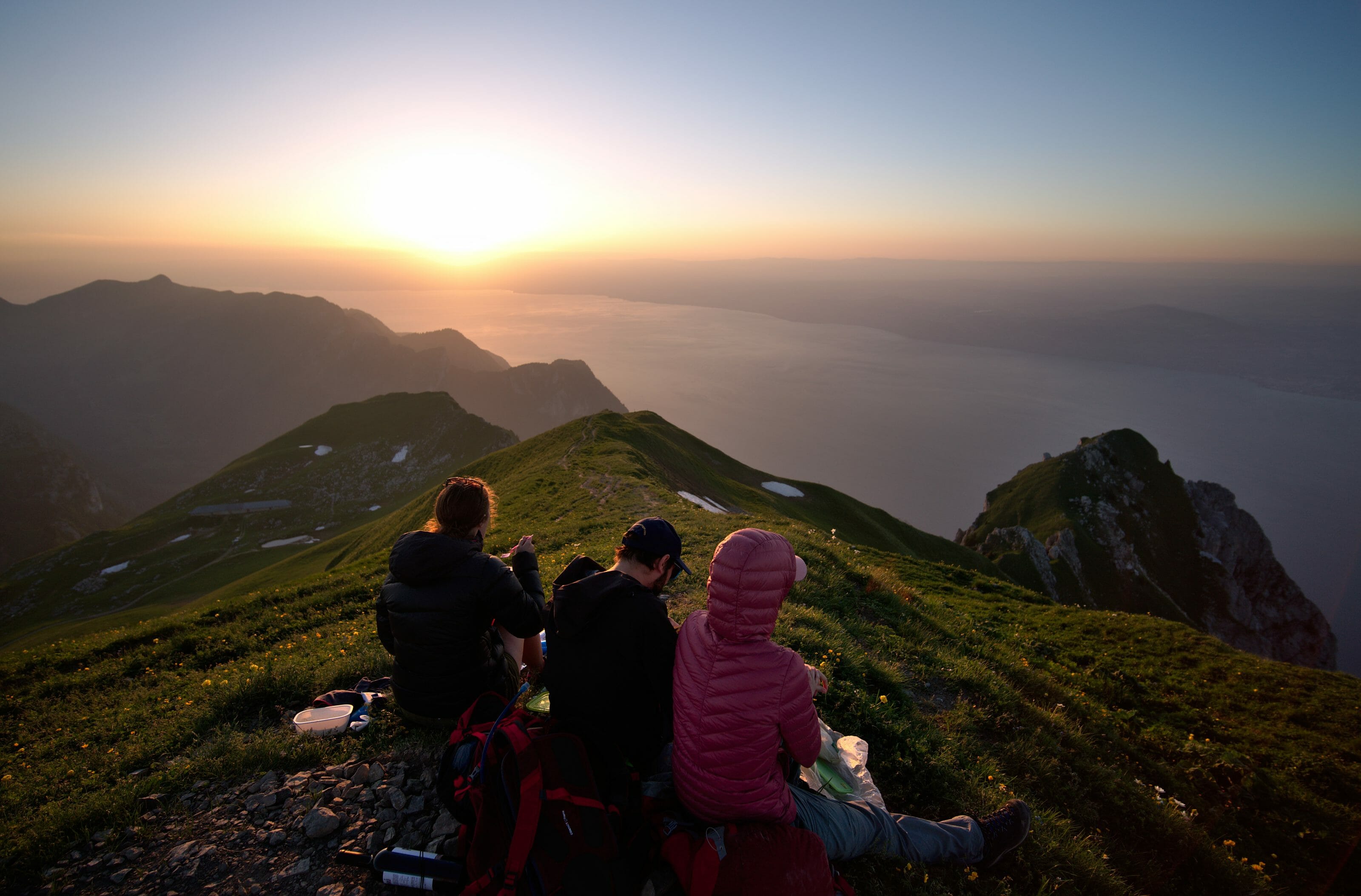
For this 1st day, I had set the alarm clock early and hoped for good weather to enjoy the sunrise. Well that morning, luck was on my side and I was treated to beautiful shades of pink and then orange on the Dent Blanche and the Cervin (which we can see perfectly well in clear weather from Thyon). What do you think of that? This show was well worth getting up a little earlier, wasn’t it 😉 ? This hike was definitely off to a good start.
After a solid breakfast, our cheerful team of bloggers set off. The morale of the troops is high… but it would not be hard not to be so with such a weather and such a view. We start by climbing from Thyon to the mountain pasture overlooking the village. After saying hello to our first Hérens cattle, we pass under the last chairlift of the Thyon 2000 ski resort and then find ourselves in the middle of nature. In the distance, we can already see our objective for the day: the Grande Dixence Dam.
Hike to the grande Dixence dam
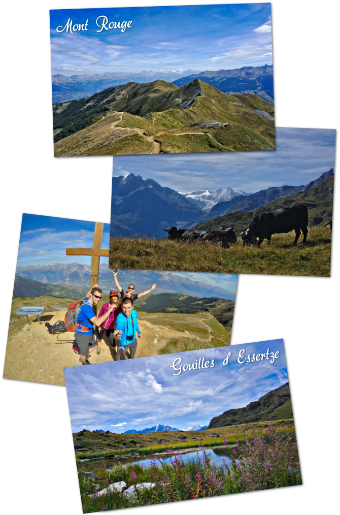
On the way, we make a small detour to the Essertze “gouilles” (some kind of ponds) and the Mont Rouge. It must be said that the evening before, we had had dinner with Patricia, a passionate about the region, who advised us to go there. This Valais woman of heart and adoption (she is French by origin) knows every nook and cranny of her Val d’Hérens and her enthusiasm is contagious.
We can never thank her enough for her advice and communicative good mood. Moreover our little detour to the gouilles while passing by the mont rouge, was our highlight of the day. We crossed a herd of Hérens cattle that was drinking and the view from the cross of the Red Mount was absolutely superb! Thanks again Patricia…. (By the way, if you pass by, go say hello to her. She runs a pretty little studio and will be happy to give you advice).
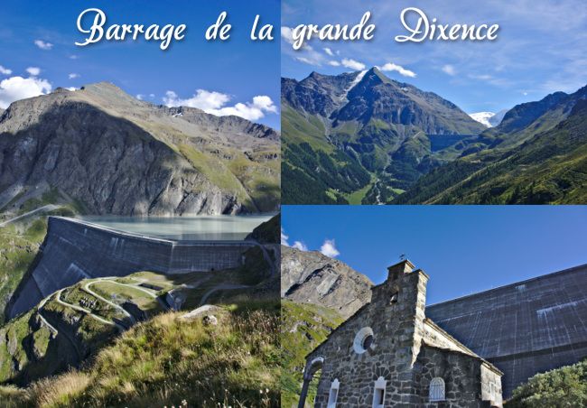
The grande Dixence Dam
After a good picnic, we continue our way on the hillside towards the Grande Dixence dam. The further we go, the more imposing this concrete giant becomes. It’s an impressive 285 meters high!
This makes it the tallest gravity dam in the world (it is a dam that retains water only with its weight)… and it produces the equivalent of energy of one and a half nuclear power plants thanks to 4 hydroelectric power plants. Dam(n) impressive!
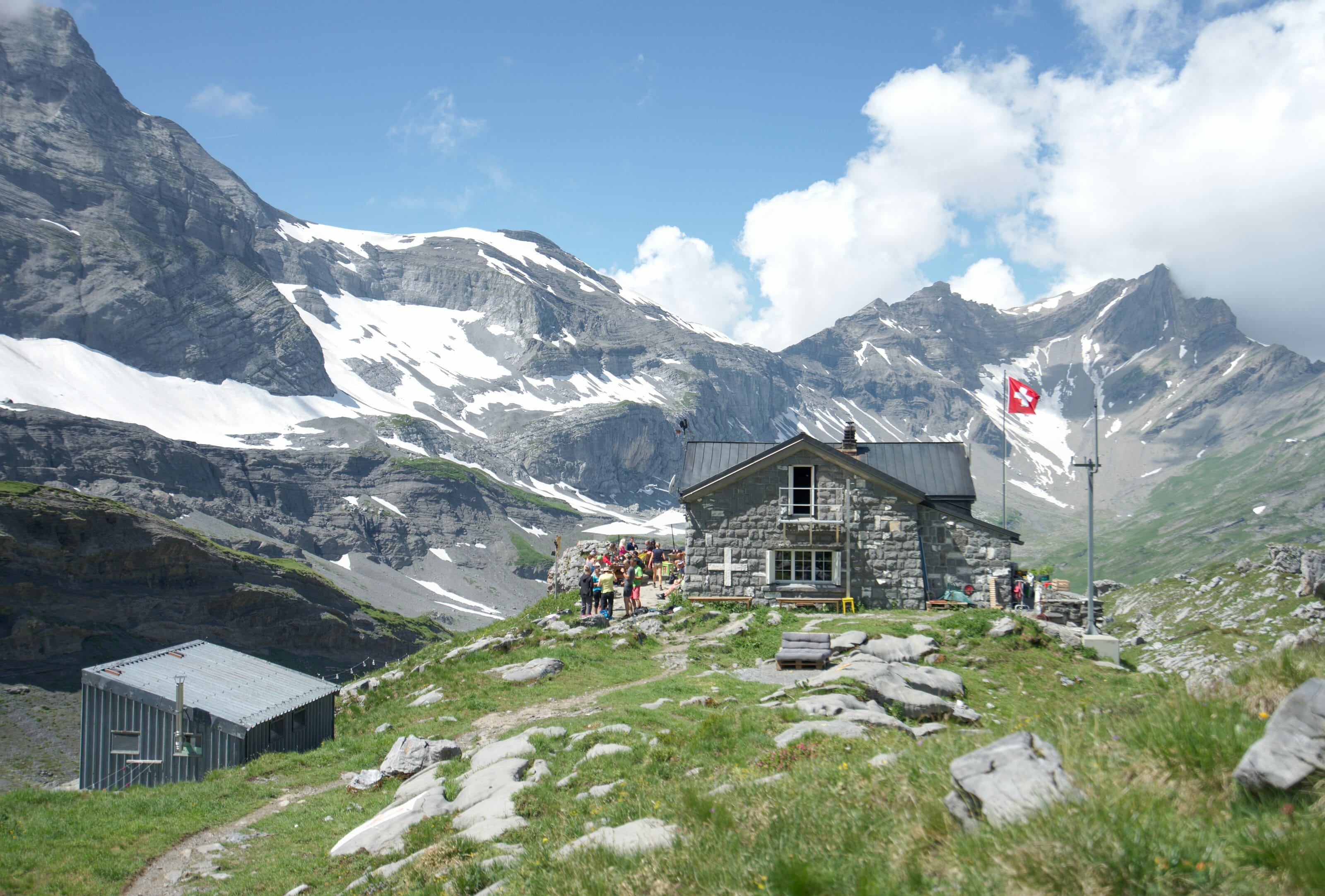
Once we get to the dam level, we have to go down again at its foot where we will spend the night in the building that welcomed the dam workers at the time (which has since been converted into a hotel). After a good dinner and a nice sunset, we go to bed! It’s been a long day and we still have two big days ahead of us.
Infos
Stage 1: Thyon – grande dixence
- Distance : 16-17 kms without detours, 17-18 kms with. Allow 6 to 8 hours walking time
- Elevation gain : 800m withou the detour, 1000m with it
- Elevation loss : 3-400m, 5-600m with the detour
- Detour : When you see the Essertze gouilles, you can climb up along the ridge to the Mont Rouge, then descend to the gouilles and finally join the official path again. (the idea is to go up first to the Mont Rouge and then down to the gouilles in order to avoid taking the same path twice)
- Accomodation : We spent the night at the Hotel la Cambuse in Thyon(an excellent address) and at the Hotel du Barrage de la Grande Dixence.
- Transports : To get to Thyon, the easiest way is to take the train to Sion and then the bus to Thyon. If you have a car, you will have no problem finding parking spots in Thyon and the road is in excellent condition.
Stage 2: Grande Dixence Dam – Arolla
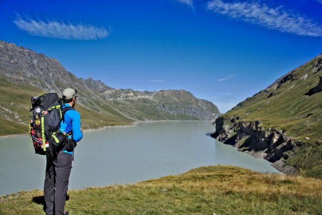
When we get up this morning, we know that we have a big day ahead of us. It must be said that the programme includes the famous Ridmatten pass (2919m) and its ladders which already make the ladies shudder. 🙂 So we start by going up 285m to the top of the dam… just to warm up. Once at the top, we are rewarded with a magnificent view of Mont Blanc de Cheilon, which proudly stands behind Lake des Dix.
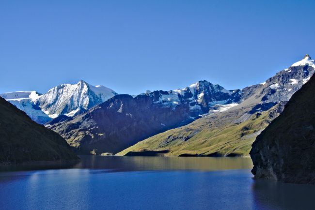
We then follow the lake on its right bank. On the way, some whistles call out to us…. It is actually the groundhogs who talk to each other. They live in large numbers in the rocky outcrops along the lake and we are lucky to see many of them quite close by. Fabienne and Laurène are completely under the spell…
A traffic jam made in Val d’Hérens
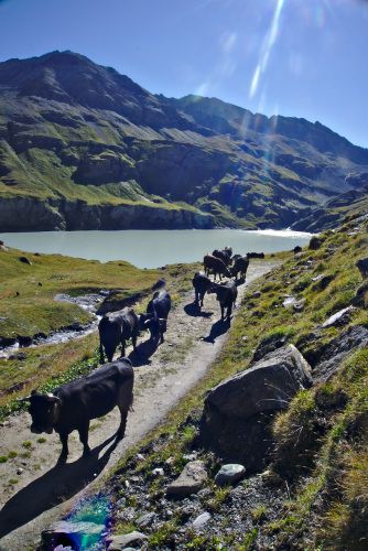
So we continue our little journey until we find ourselves face to face with a herd of Herens cows that completely block the passage….
a traffic jam made in Val d’Herens 🙂
We don’t really have a choice, we have to cross in the middle of the herd! But no matter how much I tell Fabienne that cows are harmless, she’s not feeling very confident! But it’s understandable, some specimens still weigh more than 800 kg! It doesn’t really make you want to get hit with a horn. 🙂 While Fabienne is taking her time to pass the herd, I take the opportunity to take some pictures before joining Fabienne who is already waiting for me (much) further away.
The Riedmatten Pass
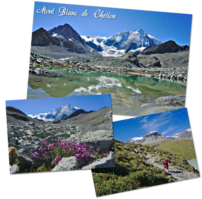
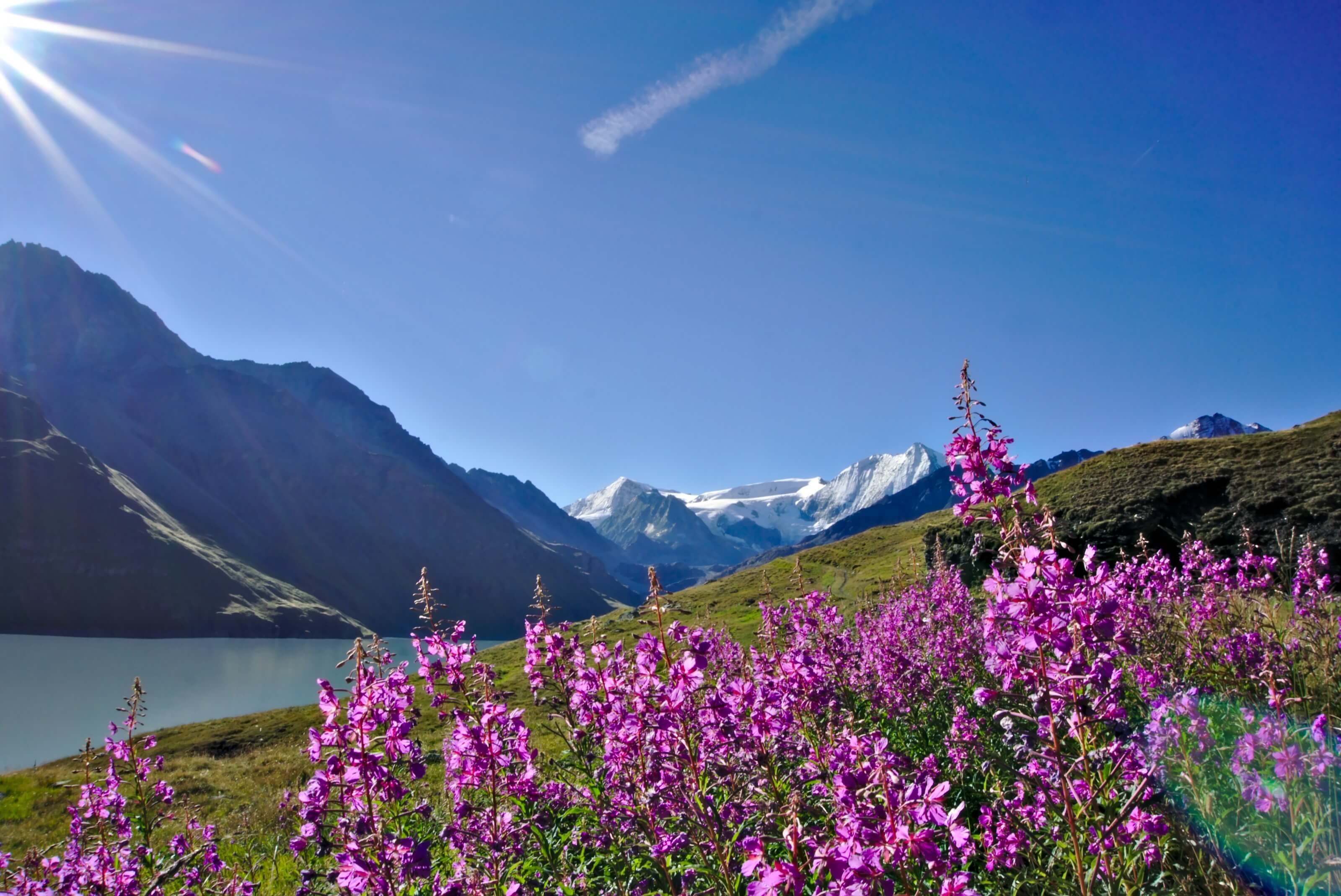
Once at the end of the lake, we start the serious things: the climb to the Riedmatten pass! The higher you climb, the rarer the vegetation becomes. Some flowers still grow between the rocks in the very place where a glacier was to be found (a long time ago). The first part of the climb is not difficult and the panoramas are simply magnificent. As you climb, you get closer to Mont Blanc de Cheilon, which is sometimes reflected in small ponds at the foot of the glacier… just too beautiful!
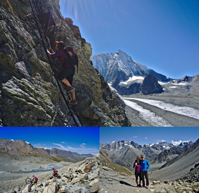
The second part of the climb gets a little tricky. The path passes through rocky outcrops and we sometimes have to help ourselves with our hands to continue climbing. It is precisely when we thought that this part was not obvious that we meet a group of Swiss Germans… on a mountain bike please! They quietly pushed their bicycles down the path, as if nothing had happened 🙂 (they’re crazy these Swiss-Germans ahah).
The Pas de Chèvre (The goat passage)
At this point, we can choose between the passage through the Riedmatten pass and the famous “Pas de Chèvres” and its ladders. Out of curiosity (and also because I “forgot” to the girls that there were 2 options 🙂 ), we opt for the ladders. Fabienne is a little apprehensive… but she starts first. It is necessary to pass 3 rather short ladders interspersed with 2 walkways.
Despite her fear of heights, she managed like a boss and crossed this passage without any worries. Once at the top, we actually learn that these ladders are all new (they date from 2014) and that the old ones were much more impressive (you had to go from ladders to ladders without bridges). Not sure we would have passed these as easily two years ago:).
But all these emotions have whetted our appetite and we take advantage of the panorama of the “Pas de chèvre” to eat a good picnic before starting the descent to Arolla.
Descent to the village of Arolla
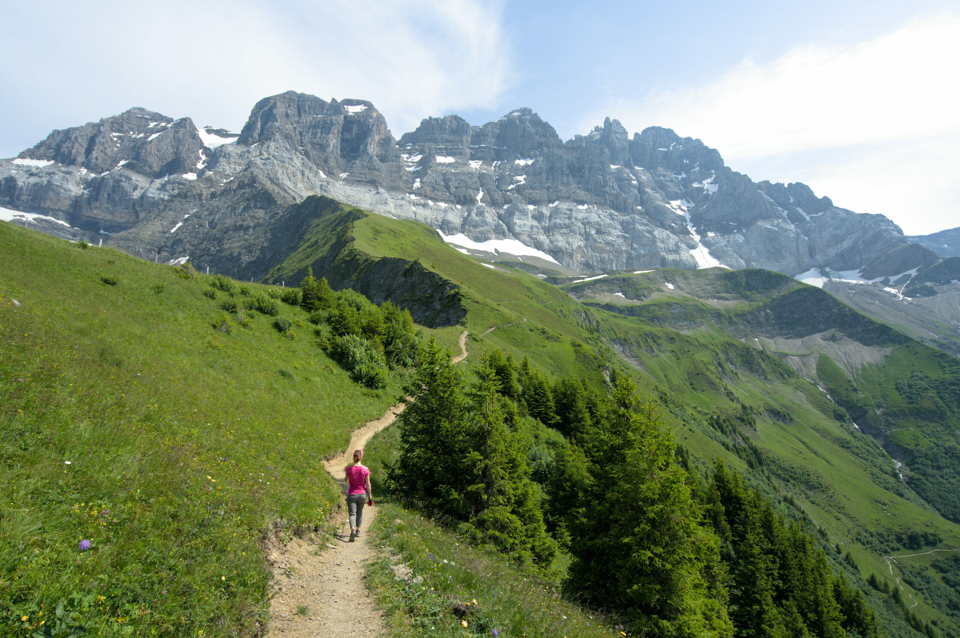
With the climb we just did, we thought maybe the descent wasn’t going to be easy. And yet we were surprised in a good way. The path is excellent to the village of Arolla and the descent is really not very steep. In addition, as the descent progresses, the landscape opens up to the Pigne d’Arolla and Mount Collon, which dominate the valley. Once again, with the perfect weather we had, the landscapes are amazing.
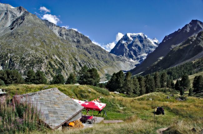
We even take advantage of a small well placed terrace 20 minutes from Arolla to have a well-deserved beer…. Life is beautiful in the Val d’Hérens! In the evening, we enjoyed a good tasting of local products (accompanied by a good bottle of red wine from the region). The best!
Infos
Stage 2: grande dixence Dam – Arolla
- Distance : about 16 kms. It takes 6-7 hours of walking time
- Elevation gain : 800 to 900 m
- Elevation loss : 900 to 1000 m
- Alternative : As I have already mentioned, if you do not feel like making the “Pas de Chèvre” ladders, it is possible to go through the Riedmatten pass. To do this, simply follow the indications during the 2nd part of the climb (Follow on your left for the pass).
- Accomodation : In Arolla, we slept at the Hotel du Pigne where we also ate very well (that’s where we had our tastings of local products). But there are also several other possibilities in the village as well as a campsite.
Stage 3: Arolla – Les Haudères (Passing by the Lac Bleu (blue lake))
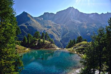
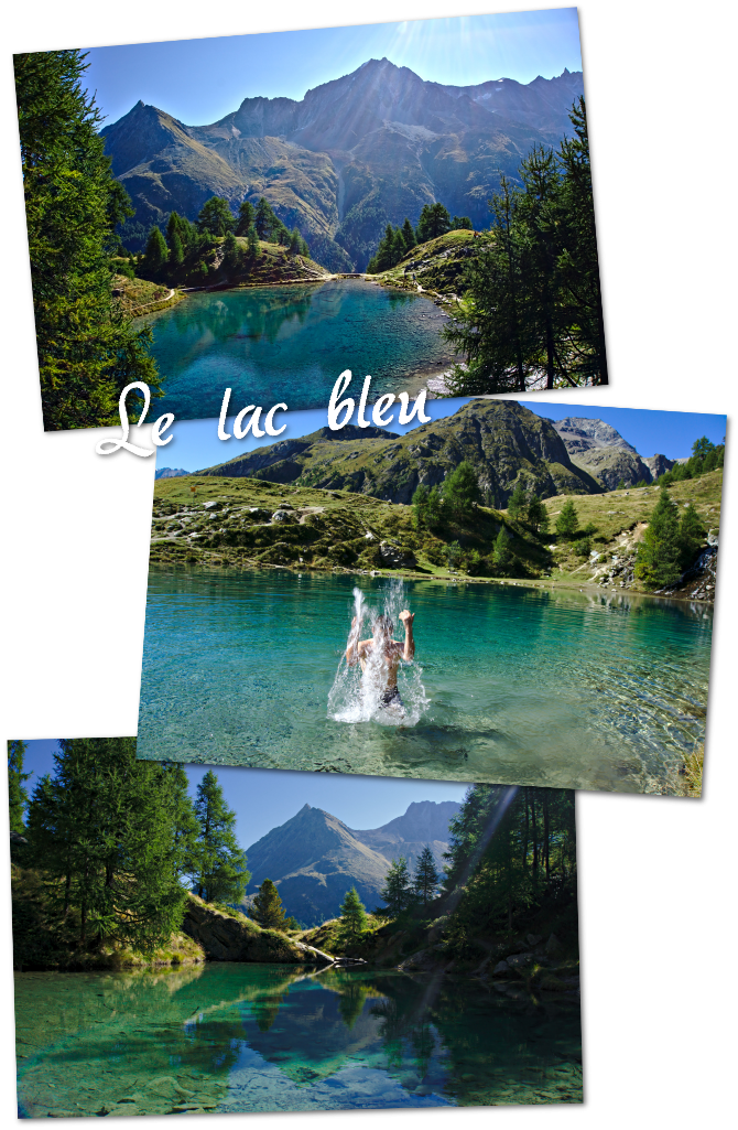
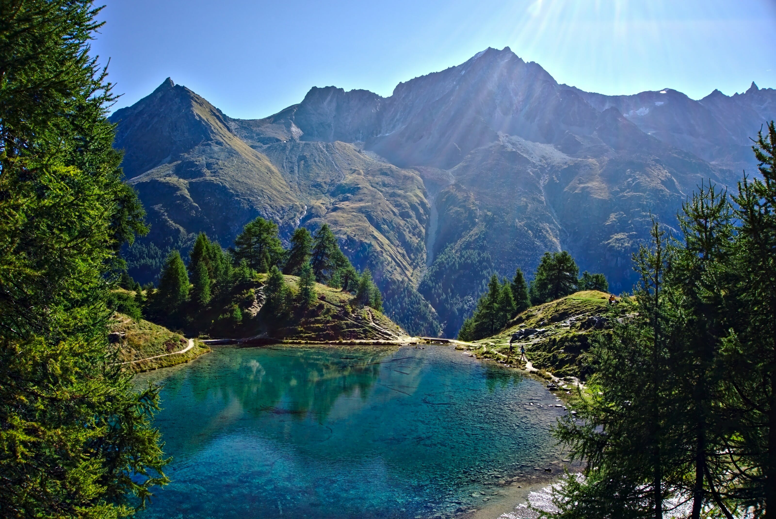
For our 3rd and last day of hiking, we decided once again to rely on Patricia’s good advice by making a small detour to the “Lac Bleu” (blue lake) before heading to the village of Les Haudères. And this, my friends, was a VERY good decision! After an hour and a half of walking on a very pleasant path, we reach a real little corner of paradise…
The magnificent Blue Lake near Arolla
A pure delight for the eyes! What is certain is that the blue lake did not steal its name. Its turquoise water is incredibly pure. It is fed by a waterfall that gushes out of the ground. When I tell you it almost feels like heaven! So much so, that I couldn’t resist the temptation to jump into the water. A swim that was short because the water comes directly from the glacier and is… pretty fresh! 🙂
After a good hour of break to contemplate this little jewel of the Val d’Hérens, it was unfortunately time to leave. I must admit that we would have stayed there all day but we still had a few kilometers of walking ahead of us. We continue on the hillside until we reach the alpine pasture of “l’étoile”, which overlooks the village of Les Haudères.
We meet our friends the cows of Hérens who graze quietly there with a breathtaking view on the majestic Dent Blanche and its 4357m. No wonder that the cheese is good around here! Cows obviously produce good milk in such an environment 😉
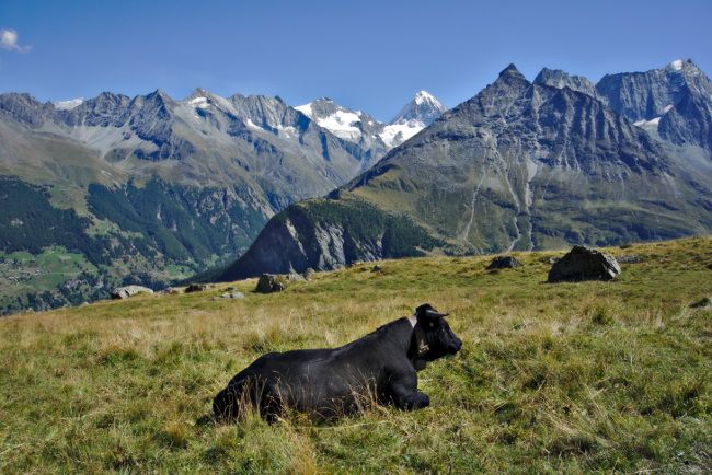
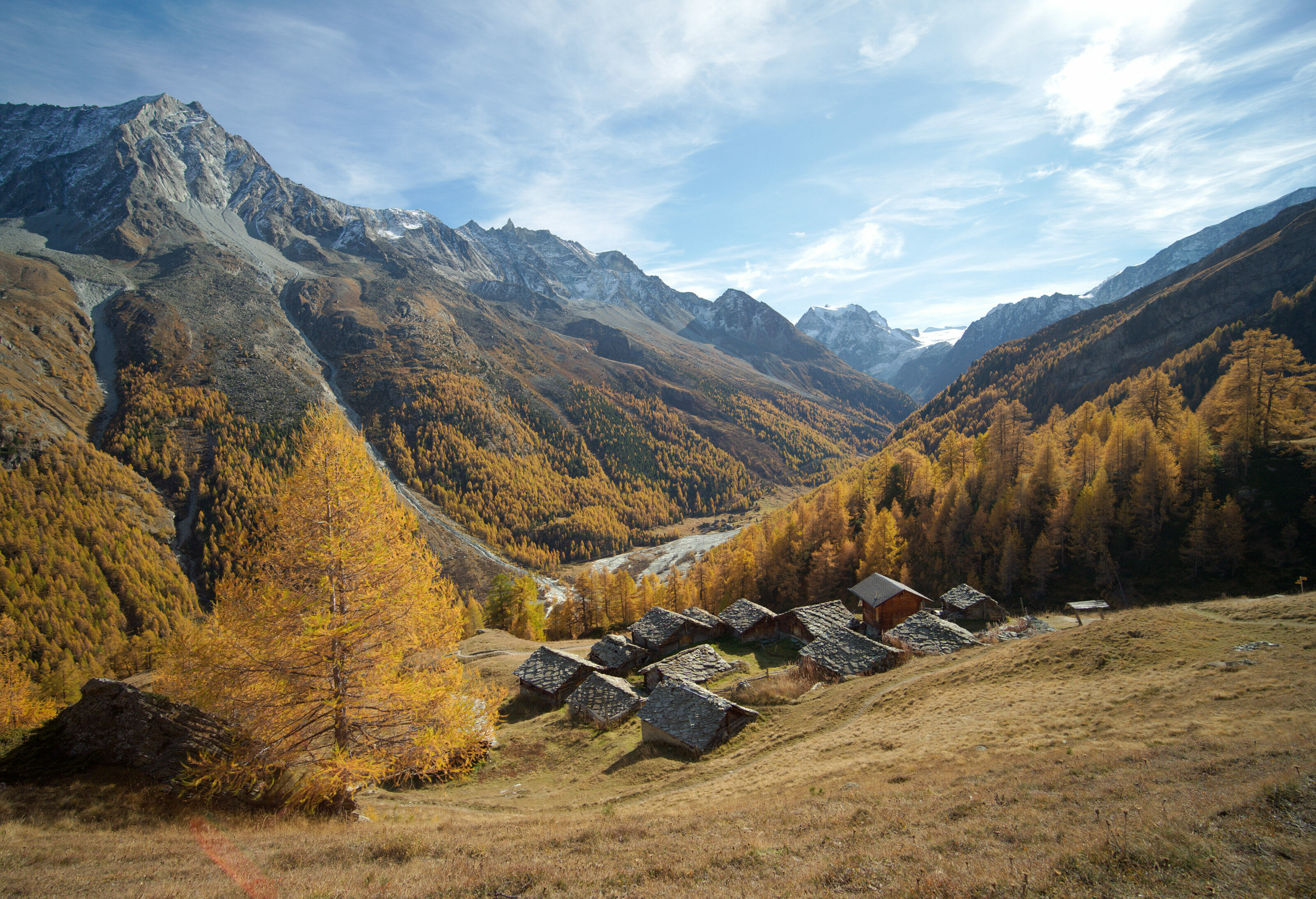
Then we start the descent on the village of Les Haudères. A rather long but not difficult descent that passes through small traditional hamlets. We could easily see ourselves there on the terrace of one of these sunbathing cottages while admiring the Dent Blanche in front of us. Who knows… maybe one day 😉
The village of Les Haudères
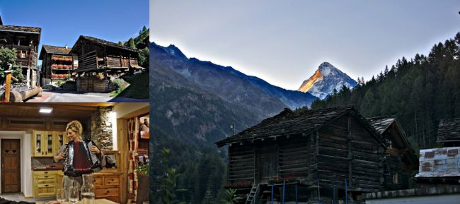
Once we arrived at the bottom, we were immediately charmed by the village of Les Haudères. The wooden houses are very well preserved, the balconies are all flowered. We are very, very far from what has happened to some ski resorts like Verbier or Zermatt. It’s very quiet and it feels like almost 50 years ago.
Here, the inhabitants are proud of their region and attach great importance to their traditions. Claudia, the manager of our hotel, will tell us that the young people of the Val d’Hérens are still learning the dialect of the valley and are very proud to speak it. In short, it is a small village out of the time and where life simply is good. We will spend our last evening around a Hérens meat fondue, to the sound of Claudia’s accordion, listening to her stories about her region. A perfect evening as we like them:).
Infos
Stage 4: Arolla – les Haudères
- Disatance : about 15 kms. It takes 5-6 hours of walking time
- Elevation gain : 400 m
- Elevation loss : 8-900 m
- Alternative : Passing through the blue lake is just one option (although it is highly recommended). It is also possible to follow the river “La Borgne d’Arolla” at the bottom of the valley to Les Haudères. A second option is to go to the blue lake and then go down to the river without going through the alpine pasture.
- Accomodation : We had the chance to sleep at the hotel les Mélèzes where we were warmly welcomed by Claudia, the friendly manager. We ate very well and had a great evening. We recommend it! Otherwise there are also many other possibilities in the village.
- Transport : From the village post office, it is possible to take the bus to the city of Sion where you can take the train again.
The tour of the Val d’Hérens in 5 days
As I told you earlier, we did the short version of the Val d’Hérens tour. It is also possible to extend by 2 days by going up to the Bec de Bosson hut. It is at an altitude of 3000m and then the hike ends in the village of Nax. From what we have been told, it is up there that the view is the most beautiful on the tour.
On the other hand, as you can imagine, from Les Haudères, which is at an altitude of 1450m, to the hut, there is still a hell of a climb! And after 3 days of walking, it is not necessarily for everyone, we will say :). But it can clearly be worth it!
Edit: Fabienne finished the tour of the Val d’Hérens the following summer! She left with a friend and they slept at the Bec de Bosson Hut. Find his article here
Infos
- Hiking Gear : The most important thing is to have good hiking shoes! In addition? Hiking poles, rain jacket in case of rain (or wind), a thermal shirt, water bottles (2l per day), a cap, sunscreen, sunglasses and a headlamp.
- Topographic Maps : It is possible to buy an official map at the tourist office. But if you prefer the online version you have the one made by the tourist office here. On the spot a map never hurts, but know that the route is really well marked and the paths are clear.
- Organisation : You can do this hike on your own, but if you don’t think you can carry your bag with all your belongings for 5 days, take a look at the formula offered by the Val d’Herens tourist office. In addition to organizing overnight stays and picnics for you, they also organize luggage transport between stops. As a result, you can walk during the day simply with a relatively light day bag (picnic, drink, rain gear) without worrying about the rest of your stuff. An interesting formula that makes this hike accessible to more people.
What did we think about this Val d’Hérens tour
Here you are, you know absolutely everything about the walking tour of the Val d’Hérens! As you may have noticed, we have fallen under the spell of this magnificent region. We were welcomed by warm and authentic people. We discovered timeless villages, surrounded by mountains, each more impressive than the next.
It is really Switzerland as we imagine it, Switzerland as we like it… very far from the tourist hustle and bustle of some more popular places.
Believe us, if you are looking for a walk in an unspoilt nature, to discover a region with a strong terroir and traditions, the Val d’Hérens will satisfy you all along the way!
We were hired by the Val d’Hérens Tourist Office to do this hike and create multimedia content for them. But what is written in this article remains our opinion. Please note that this article also contains affiliate links. By using our links, you do not pay anything additional, but we’ll get a small commission. Thanks for your support.

Greetings from Alaska, Thank you for taking the time to put together these very informative blog posts on routes in the Alps. They are so helpful! I was wondering for those sections of trail that have ladders, do you need via ferrata climbing gear (e.g., harness system, helmet, gloves, etc.)? Thank you!
Hey Tracy,
I don’t think you need any gear for these ladders sections. I mean obviously it depends if you’re afraid of heights or not… but these ladders are quite new and not too difficult IMO.
Hope it helps.