We continue our little roadtrip in Switzerland by a region which is often quoted as being a must: the valley of Lauterbrunnen and its 72 waterfalls. Coming here in October (just after visiting the Oeschinen lake), we took the opportunity to admire the beautiful autumn colors and to hike at the foot of the summits. We decided to skip the Jungfraujoch, but believe us there are plenty of beautiful alternatives to discover. Let's take you there?
- Lauterbrunnen: small village in the Bernese Oberland surrounded by waterfalls
- Panoramic hike from Mürren to Lauterbrunnen (or Grütschalp)
- Lauterbrunnen loop hike: On top of the cliffs
- Walking tour from Lauterbrunnen to Stechelberg
- Go to the top of the Jungfraujoch?
- Other hikes in Lauterbunnen (Via Alpina route)
- Camping in Lauterbrunnen: Camping Breithorn
- Hotels in Lauterbrunnen
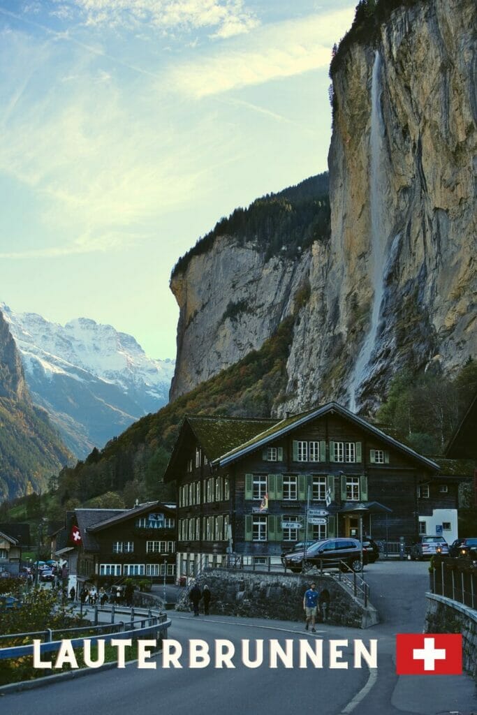
Lauterbrunnen: small village in the Bernese Oberland surrounded by waterfalls
This small town in the canton of Bern is often referred to as the Mecca of base jumping but also as the starting point for numerous hikes and excursions in the surrounding mountains.
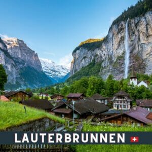
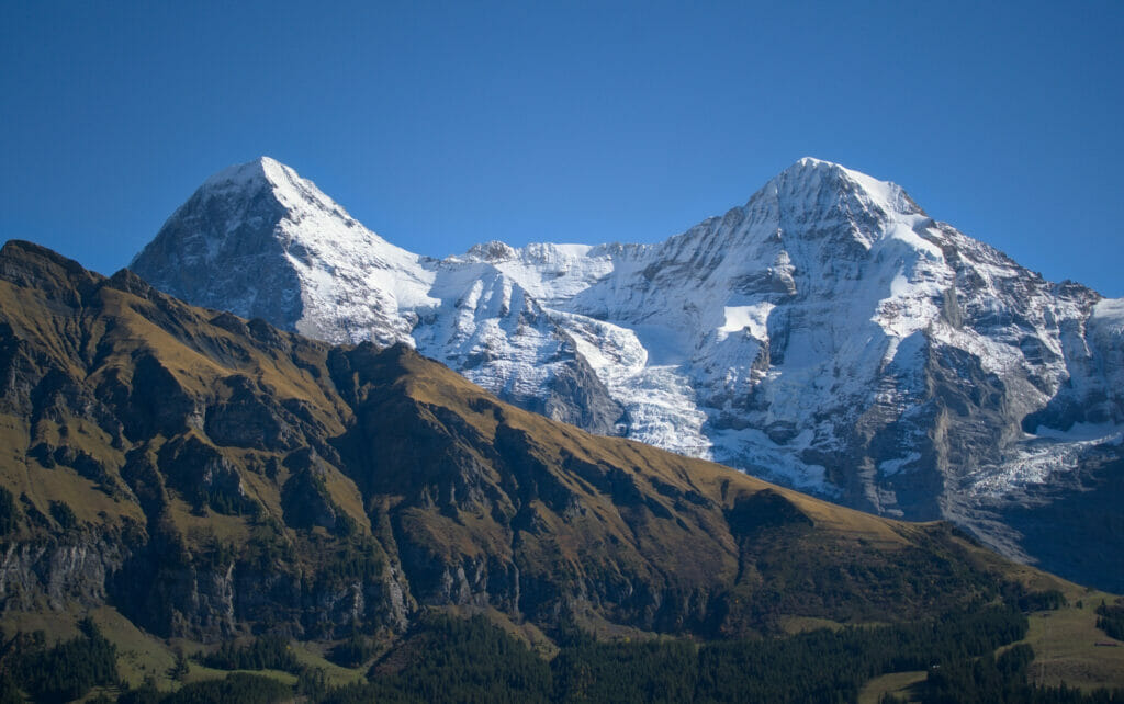
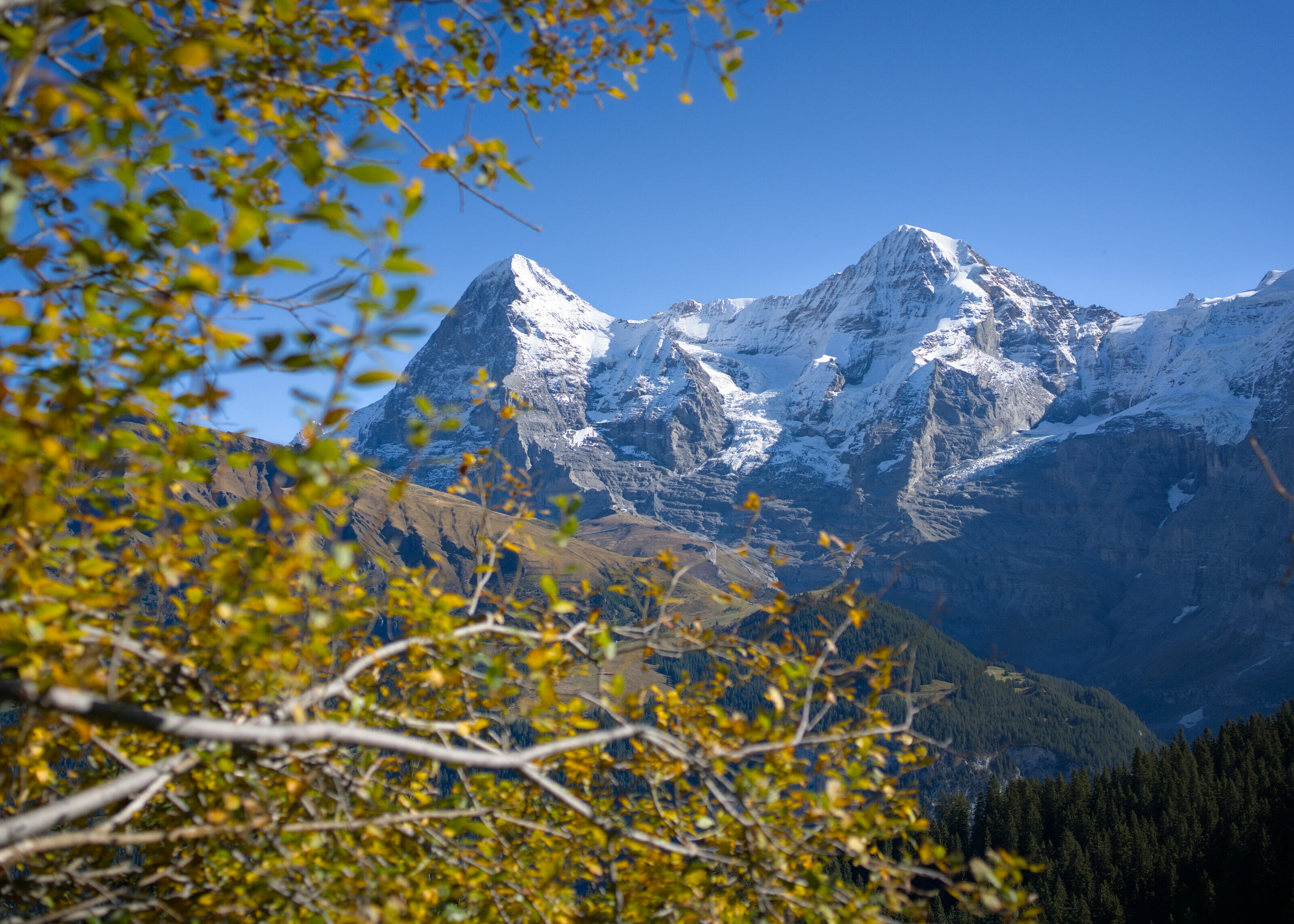
If the valley of Lauterbrunnen is so well known (and that one often finds pictures of this area on the tourist pictures of Switzerland) it is probably linked to the fact that, on the one hand, the village is located at the foot of an absolutely exceptional massif! From Lauterbrunnen, we are indeed just under the Eiger, the Mönch and the Jungfrau, 3 summits of almost 4000m (yes ok, the Eiger is "only" at 3967m, but hey).
On the other hand, the valley is also very photogenic! In fact, the Lauterbrunnen valley is special because it is only one kilometer wide (approximately) but it is surrounded by almost vertical cliffs.
What's more special about this area? Thanks to the glaciers at high altitude and the steep cliffs that sculpt the valley, there are no less than 72 waterfalls here! The most famous? Probably the Staubbach waterfall which is located right next to the village and which is often found on the photos of the region. With its 300m high, it is also called "the highest free fall waterfall in Switzerland" 😉 Anyway, enough of blabla, let's take you hiking?
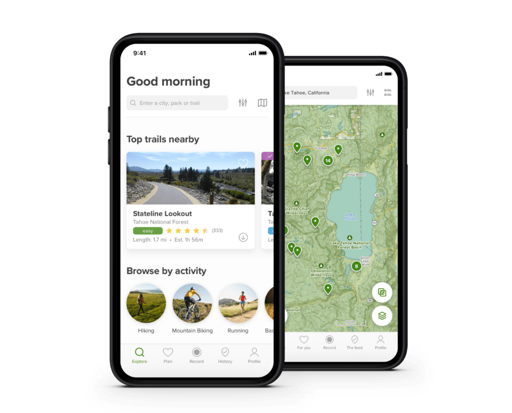
In this article, you will find several hiking routes. At the end of each hike, a button allows you to download the track on AllTrails (the application we use daily for our hikes).
To download our tracks, you just have to create a free account. This will allow you to download our routes in more than 30 formats (GPX, KML, Garmin, etc). To learn more about AllTrails, you can read our blog post.
Panoramic hike from Mürren to Lauterbrunnen (or Grütschalp)
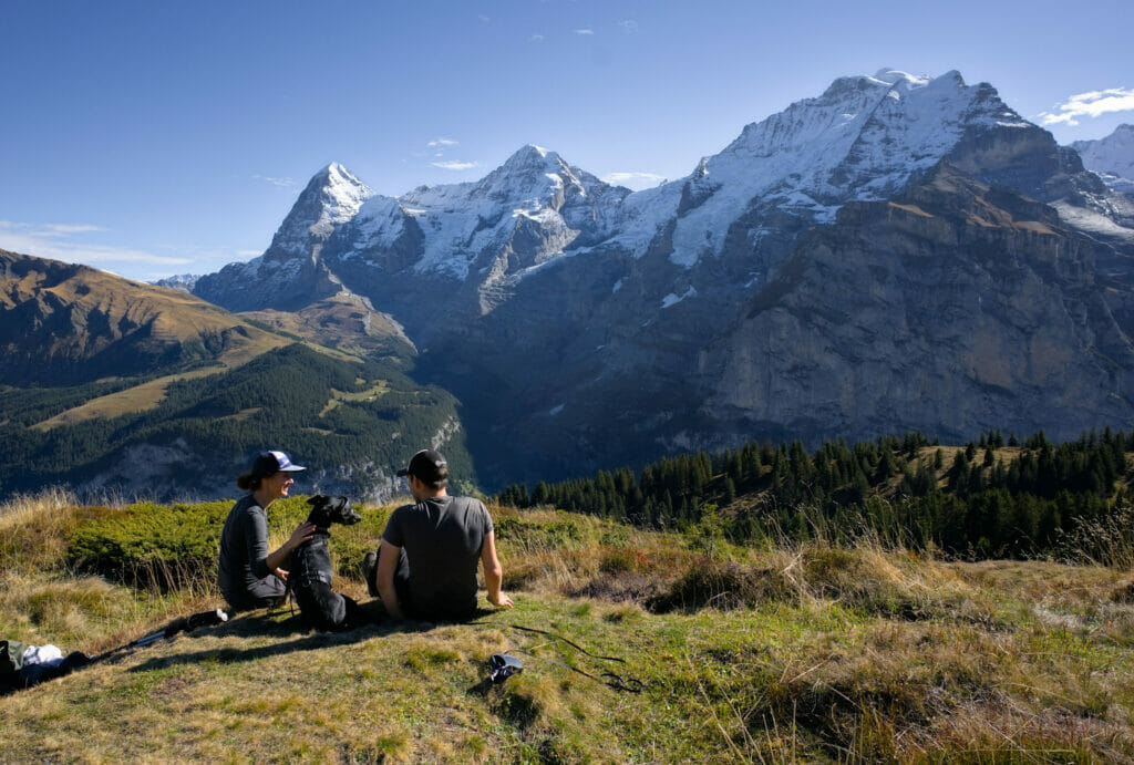
We start this article with a so-called "classic" route of the region. The Panoramaweg, as it is called, is a balcony trail from Mürren to Grütschalp, just above Lauterbrunnen. The whole route offers a breathtaking view of the valley and the trio of peaks Eiger, Jungfrau and Mönch!
From Mürren to Grütschalp
To start the hike, we first went (by foot) to the Stechelberg station from where we took the gondola towards Mürren. More about the cable car later in the article.
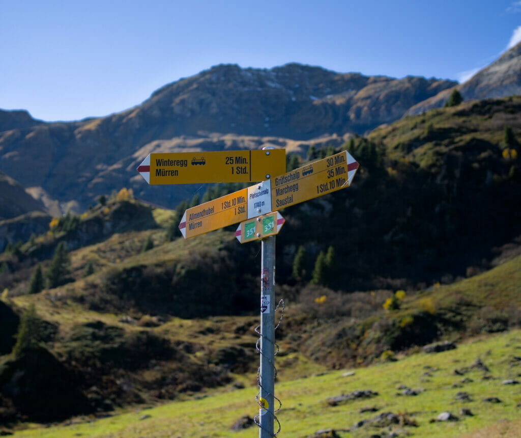
From Mürren, we started the serious stuff. The first part of the hike consisted in reaching the Allmihubel mountain restaurant while enjoying the view of the Schilthorn summit from below.
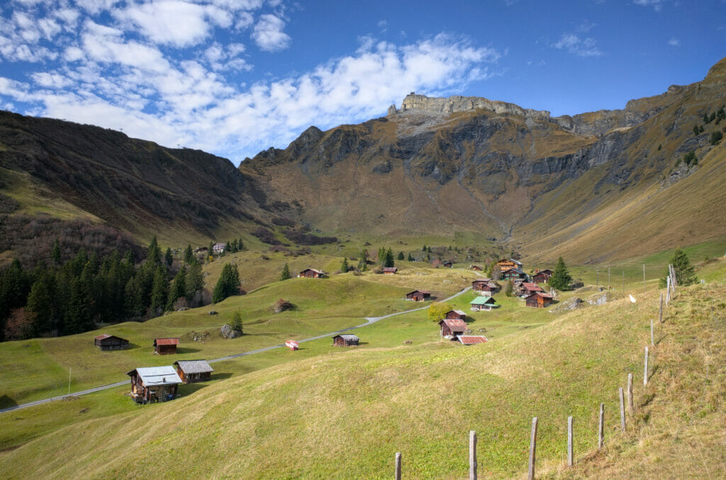
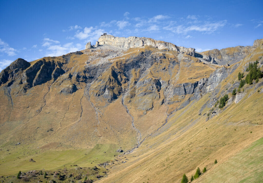
The walk having just started we did not stop for a break but pfiouuu… the view from their terrace is simply exceptional. Special mention for the playground… We don't have much experience with playgrounds, but it's hard to imagine a playground with a better view.
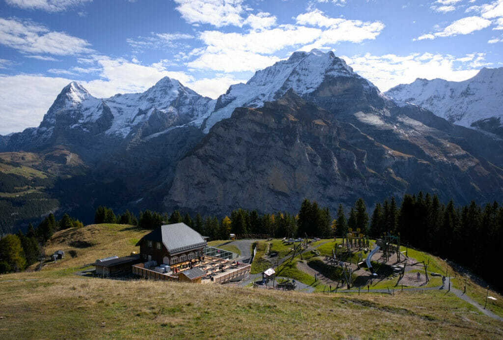
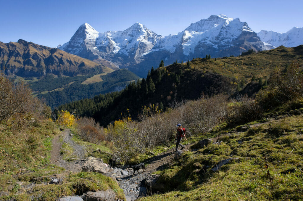
From Allmihubel the panorama trail starts. This is its official name - Panoramaweg in German - and well… we'll just say that they didn't lie in choosing the name! For about 6km the balcony path offers a breathtaking view of the Eiger, the Mönch, the Jungfrau… and all the surrounding peaks.
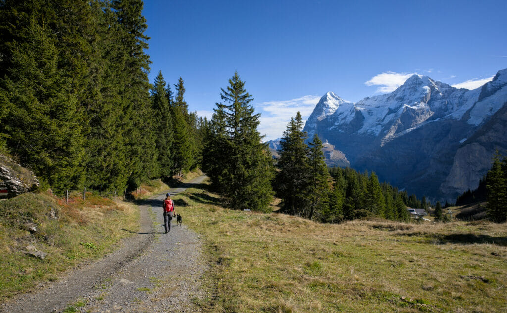
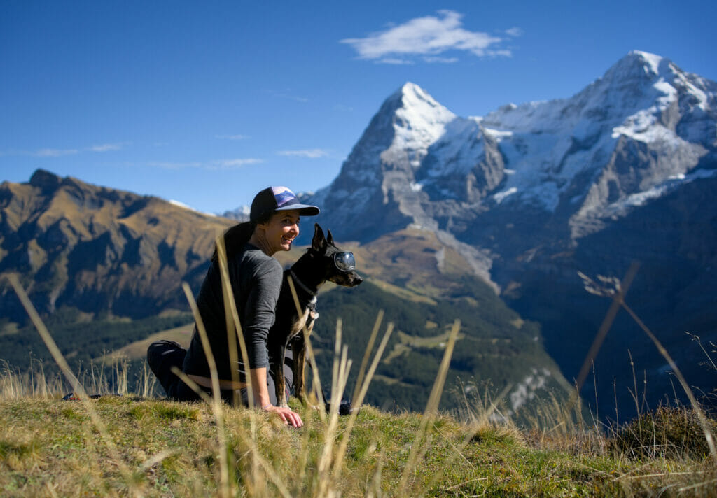
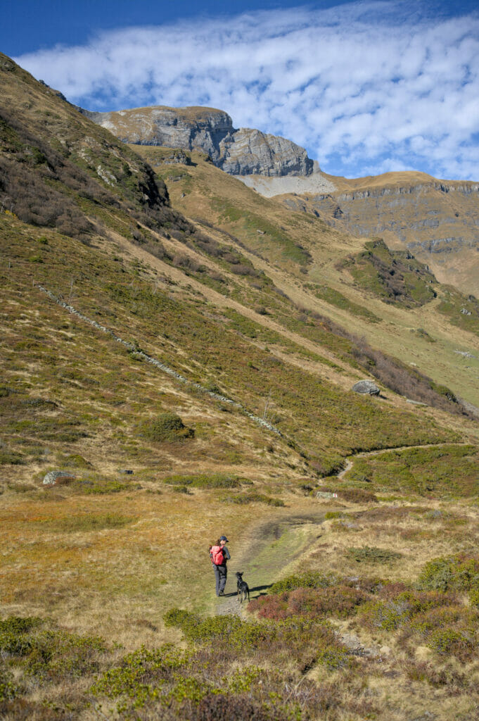
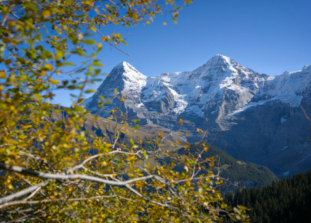
To be honest, we didn't see the time pass on this hike because it was so beautiful! We chose to do the hike in this direction because we wanted to walk down to Lauterbrunnen (and not in the direction of the ascent), but if we had to do it again, we would maybe choose to do it in the opposite direction in order to have more often the view "in front of us" during the hike and not at our back. Well, let us say it, it is not excessively complicated to turn over from time to time to take advantage of the landscapes… 🙂
From Grütschalp to Lauterbrunnen
Once at Grütschalp, it is theoretically possible to go down to Lauterbrunnen by gondola. For our part, we were right during the annual revision period of the gondola and it was therefore not in service (about 10 days a year).
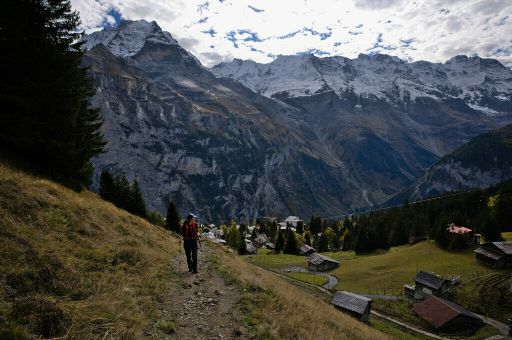
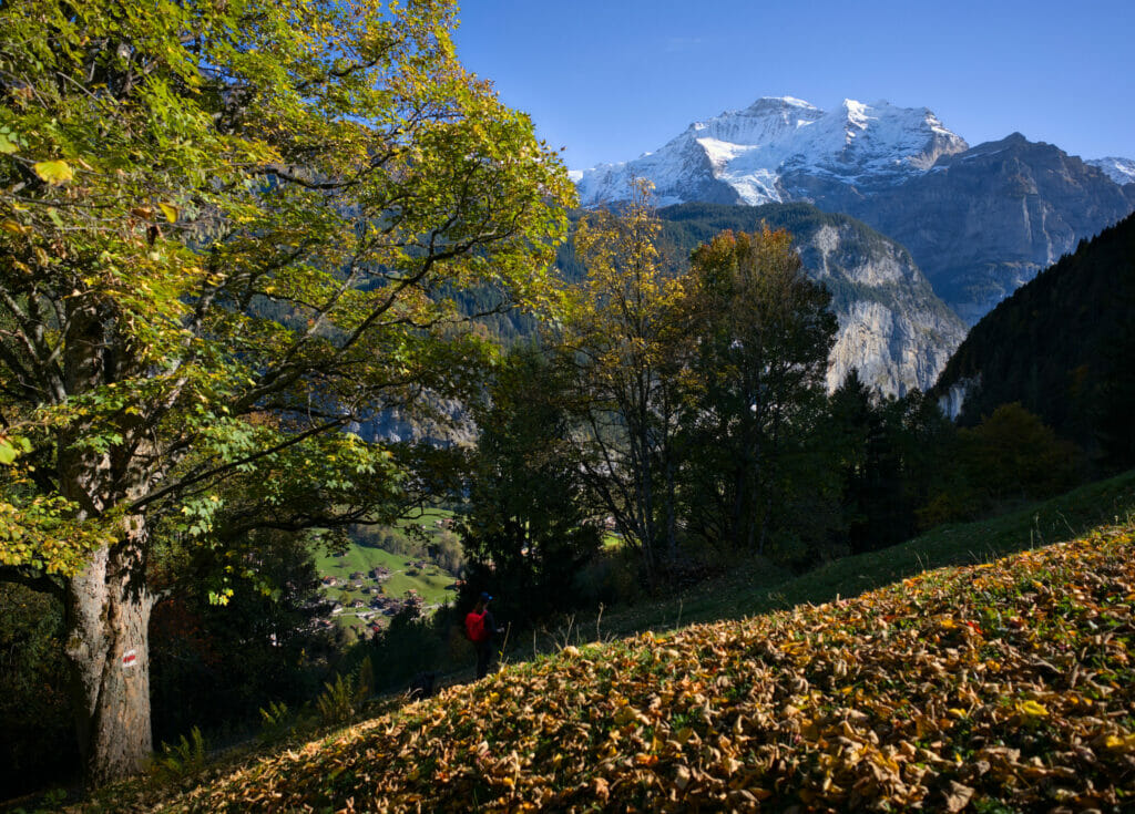
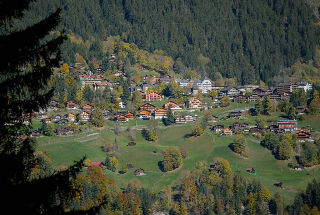
Afterwards, we will admit that this did not bother us particularly, the descent to Lauterbrunnen is really very pleasant. The trail is mostly in the forest and has wide switchbacks, which makes it possible to have a relatively gentle slope all the way down. Moreover, there are several clearings from which you can enjoy a simply exceptional view on the 3 giants (Eiger, Mönch and Jungfrau) as well as on the village of Wengen located on the other side.
If you're planning a trip to Switzerland or if you live here and wish to discover some new spots, don't miss our new ebook. Released in May 2025, this 75-page guide will help you prepare for your upcoming stay in Switzerland. We've compiled all our best tips and tricks for visiting our beloved little country without breaking the bank. You'll find advice on transportation, accommodations, where to shop, as well as a list of free activities and events throughout the seasons, along with our personal recommendations for hikes and must-see spots, and a selection of off-the-beaten-path itineraries (with estimated budgets). This ultra-complete guide also includes a fantastic interactive map featuring over 500 addresses and deals.

To learn more about the ebook and the interactive map, the introductory article is available here.
Info for the panoramic hike from Grütschalp to Mürren
This route can be done by staying only on the upper part of the route. That is to say, take the gondolas to Mürren and then go back down in the cabin from Grütschalp. Of course, this route can be done in both directions. 🙂
In all, we walked 15km with 477m of D+ and 1260m of D-.
If you decide to walk only on the upper part, the route is 7km with about 370m of ascent and 520m of descent (in the direction Mürren - Grütschalp).
Cable car Stechelberg - Mürren
This gondola operates like a public transport (ticket on the spot or via the cff.ch application). The gondolas leave every 30 minutes (with a change in Gimmelwald).
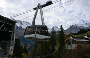
The GAt is valid on the route. The normal ticket costs CHF 11.20 for a single trip (CHF 5.6 for the half-fare). Dogs travel free of charge.
Note: This gondola then continues in the direction of the Schilthorn, a place also very appreciated for the incredible view it offers. But beware, from Mürren onwards you leave the public transport network and the ticket price starts to hurt a little more 😉 Count 85.60 CHF for a full fare for a return ticket Mürren-Schilthorn (42.60 CHF with the half-fare card or the GA). But if you feel like hiking, know it is also possible to go up on foot… We didn't do it this time, but if we go one day, it will surely be using our legs instead of the gondola. 😉
Cable car Lauterbrunnen - Grütschalp
Here too, the gondola operates as a public transport (the GA is valid). The fare for a one-way trip is CHF 9.00 (CHF 4.50 for half-fare).
Are you planning to visit Switzerland by train? We advise you to read our article which will allow you to compare the Swiss travel pass with the half-fare card. The article also includes 3 examples of train routes through Switzerland and the associated budget depending on the ticket you take.
If you prefer not to take a travel pass, but rather take advantage of the Supersaver tickets and day passes, then go to this post for all the details.
Lauterbrunnen loop hike: On top of the cliffs
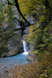
When we arrived at the campsite, we started to look at what there was to do nearby. Soon we saw that we were right next to the Trummelbach waterfall. Looking at the map, we noticed a trail that seemed to climb over the large cliff that was right in front of us. That's all it took for us to decide to take a closer look 😉
However, we can't tell you more about the Trümmelbachfall, the only publicly accessible underground glacial waterfall in Switzerland. We had initially planned to go there at the end of our hike, but we finished our walk too late… It will be for another time as we say 😉 We will simply have enjoyed the view from below at the beginning of the hike.
From the Trummelbach waterfall to the cliff top
We started the day with what we will call a "hell of a climb". Almost 1000m of difference in altitude on a little less than 4km, there is no need to say, that ther's nothing like that to make you regret your lack of training in the past weeks! 😉
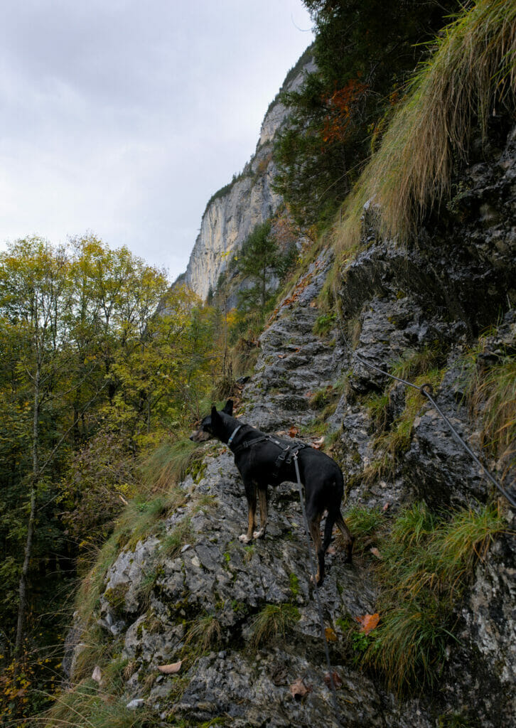
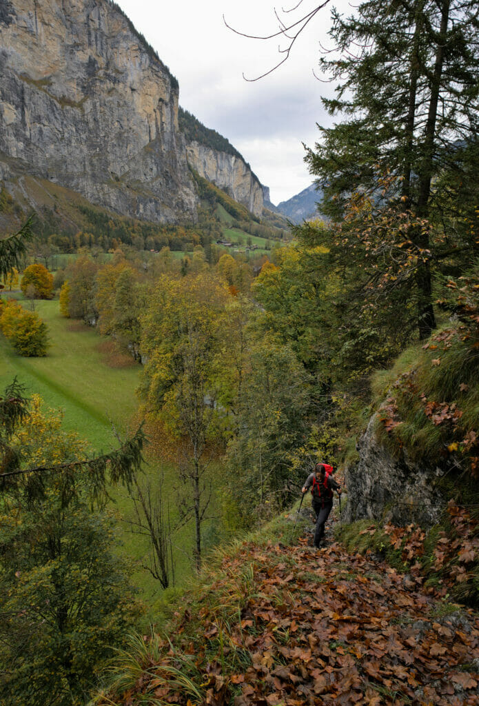
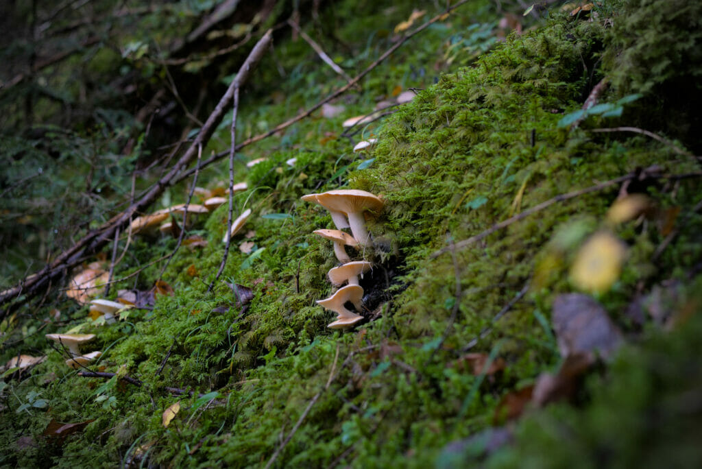
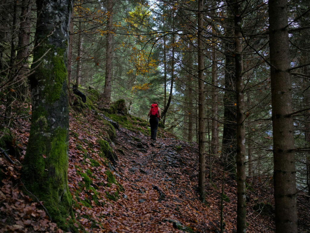
Although we were in October, the steep ascent will have quickly have made us quit our sweaters… and it is in T-shirt, as in full summer that we found ourselves hiking uphill.
Afterwards, it is necessary to say that, as often when there is a difference in altitude, the points of view and panoramas are usually quite amazing too!
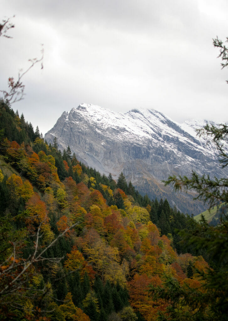
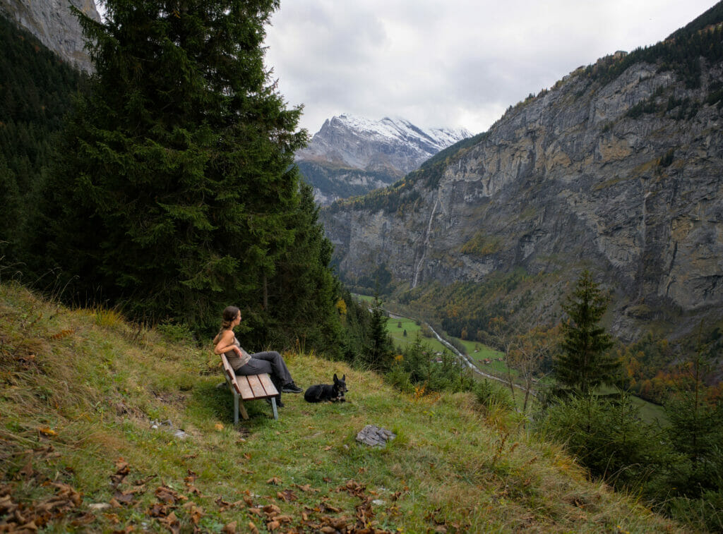
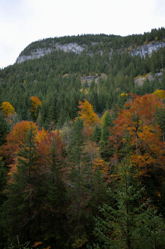
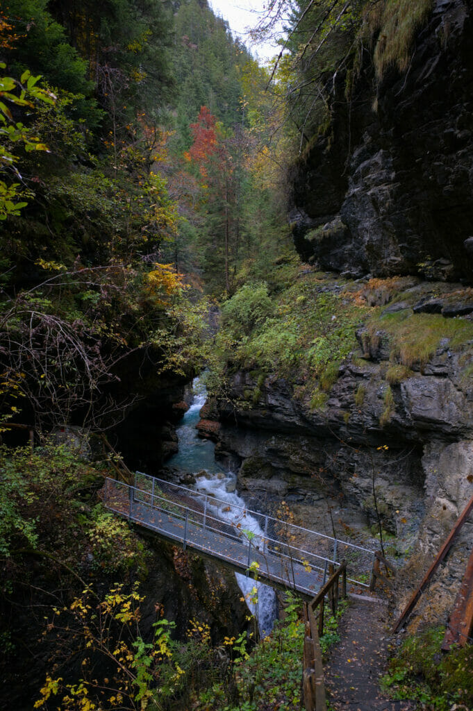
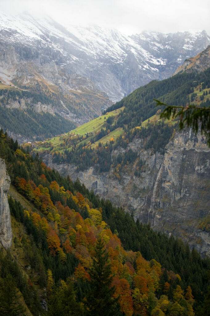
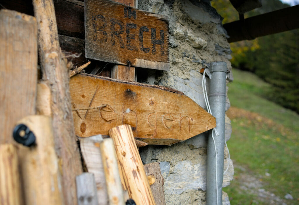
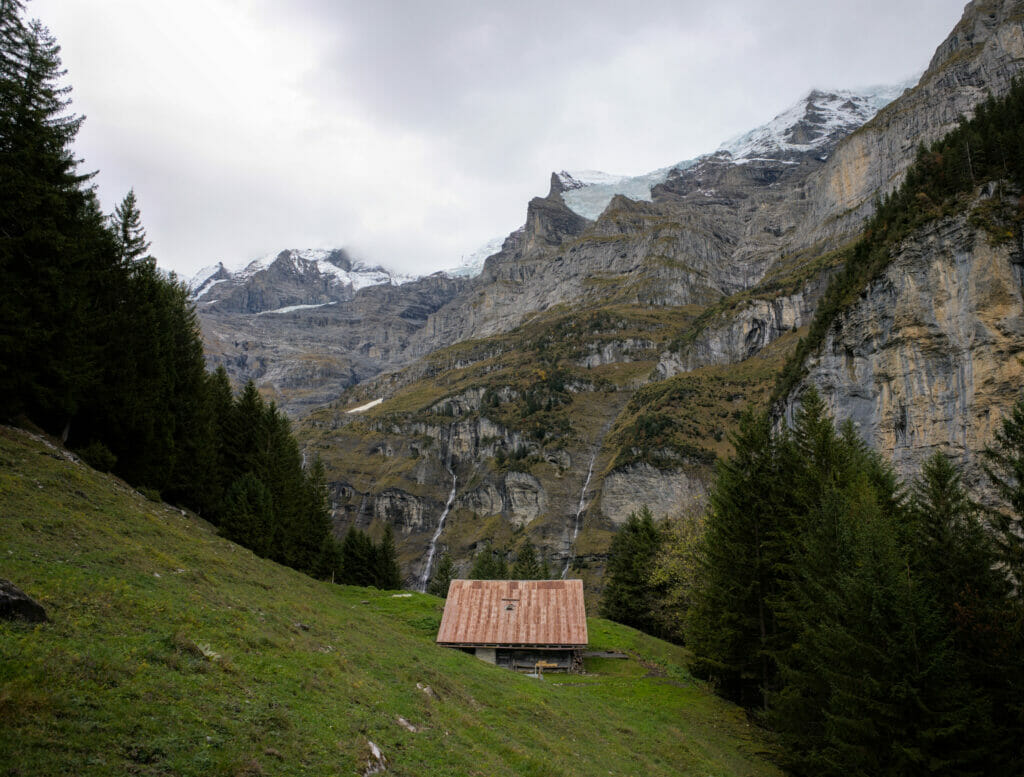
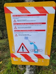
At km 2 of the hike, we arrive at a footbridge that crosses the Trummelbach (the river that turns into a waterfall below). An explanatory sign encourages hikers not to linger near the riverbed. Indeed, the glacier upstream is fragile and it is possible that a block could break off and suddenly raise the water level. In fact, we understand the idea of such a warning, but the small illustration that accompanies the sign made us laugh…
During most of the climb we walked at about the same pace as an American tourist with his small backpack. During the ascent we thought that his bag was "strange". Too small to hold a paraglider, but strangely big and full to hold a picnic and a jacket…
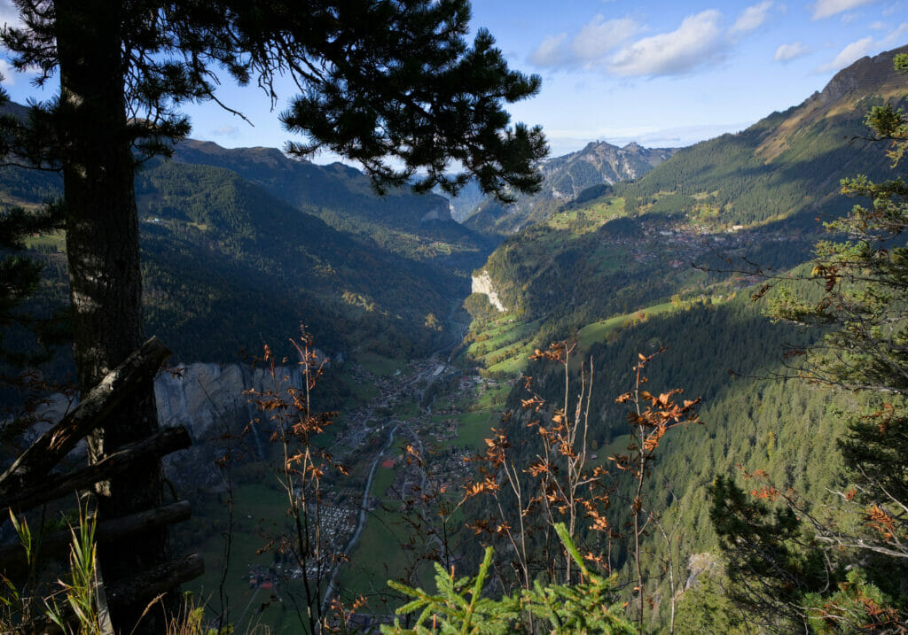
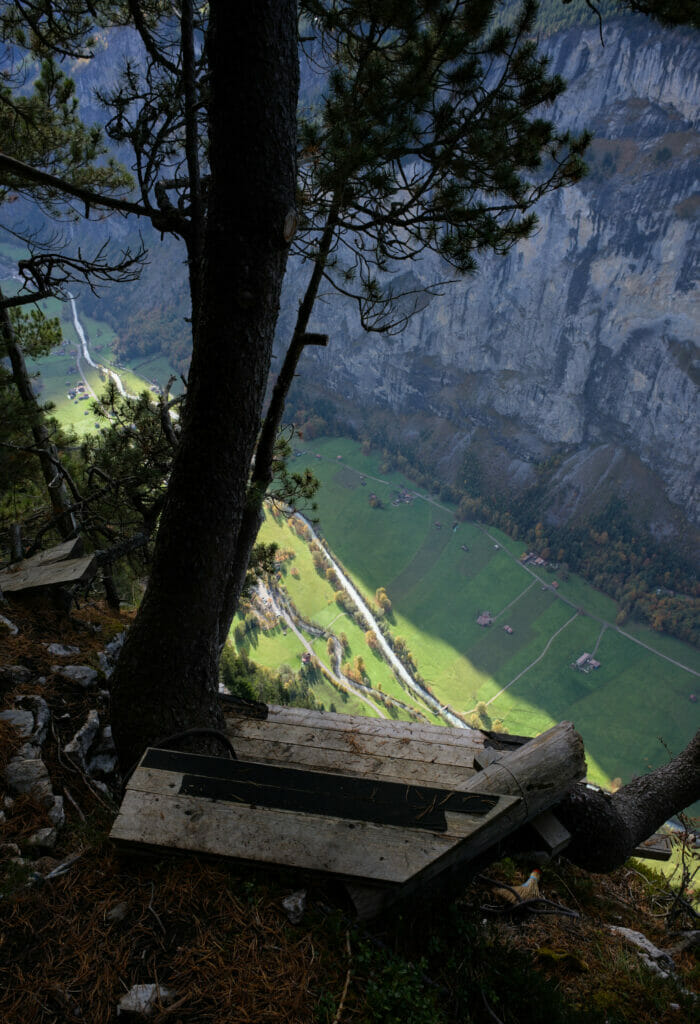
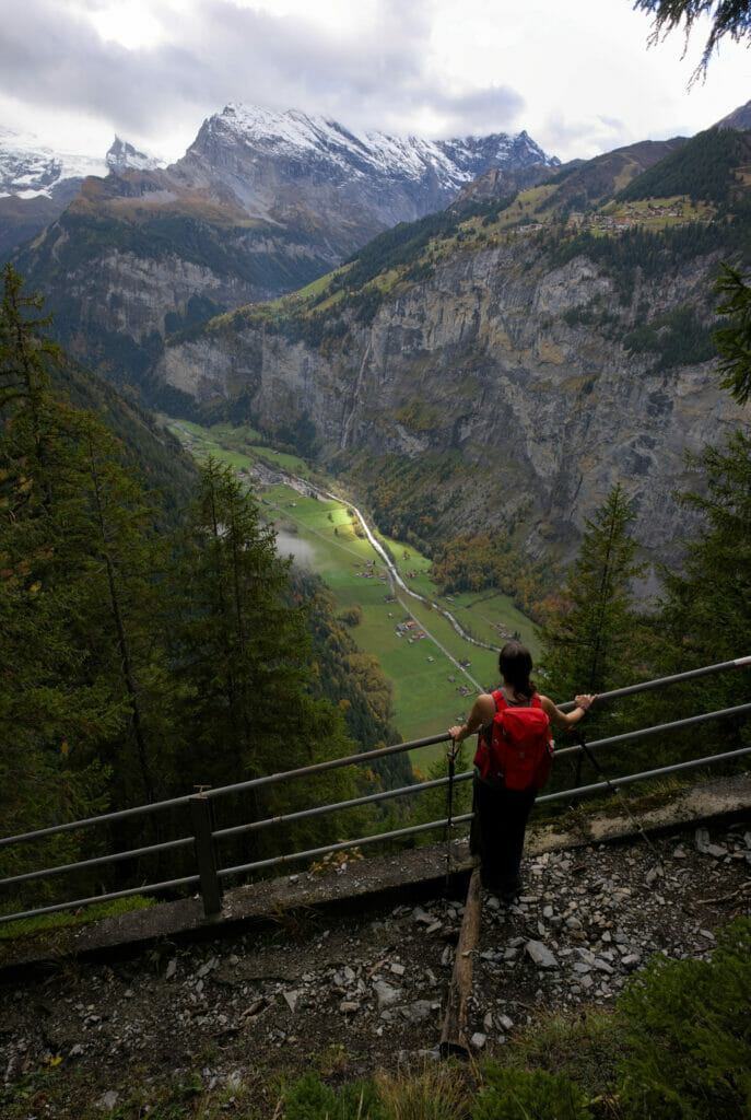
We had to wait until we arrived at the top of the cliffs to understand that this gentleman had decided to opt for an "accelerated" return to the valley bottom. Because yes, the area is very well known for its base-jumping spots and this man was clearly there to launch himself into the void with a wingsuit. I admit, I was not particularly prepared to see someone jumping into the void next to me while we were having a picnic… It gave me the shivers to say the least! I would never in a million years consider such a jump, but I promise you that seeing it live made me feel even more sure about this choice… No but look where they are jumping (the jumping platform is on the 2nd picture):
Back to Wengen and Lauterbrunnen
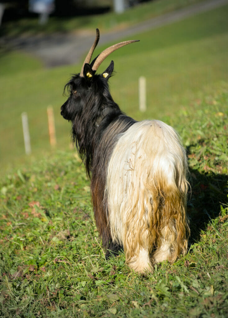
From the viewpoint (and the jumping platform), we started the regular descent towards Wengen and then Lauterbrunnen. First in the forest, the path then joins the farms and alpine pastures that are in the vicinity of Wengen. It was very nice as a descent and we could even take advantage of a self-service fridge to buy a little cheese of the region for our picnic to come 😉
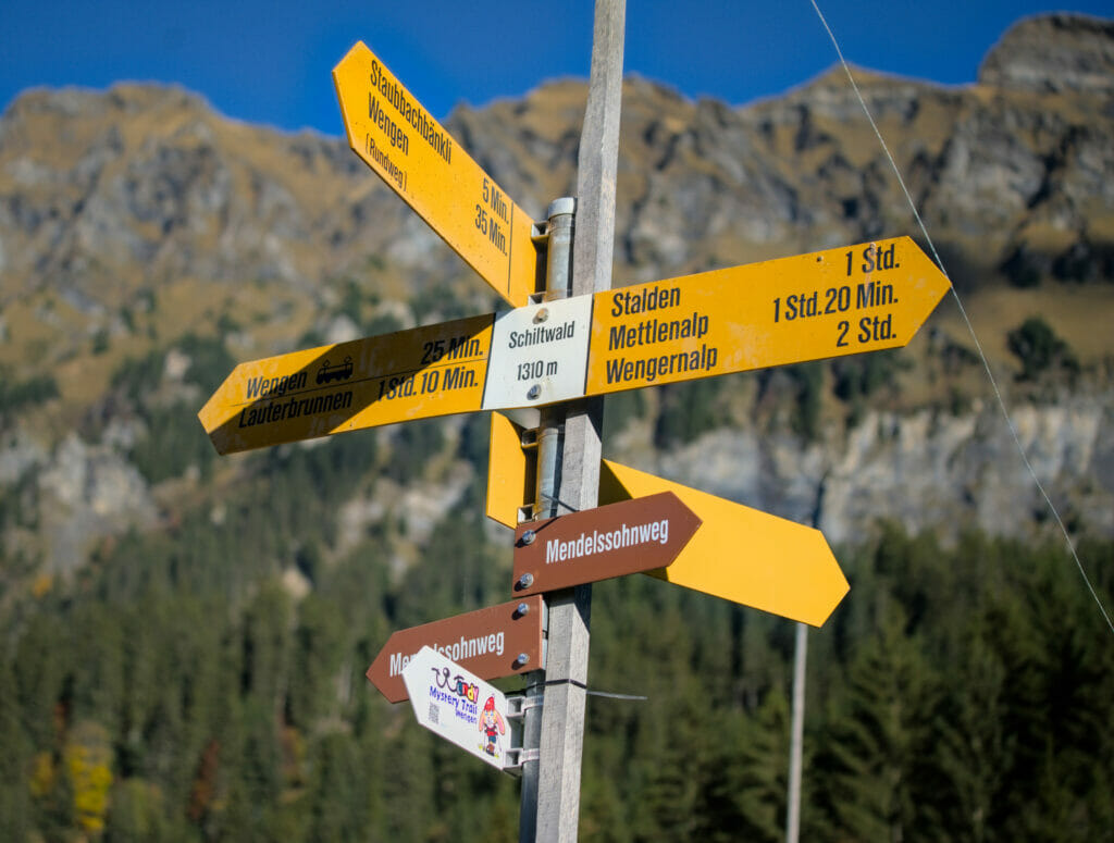
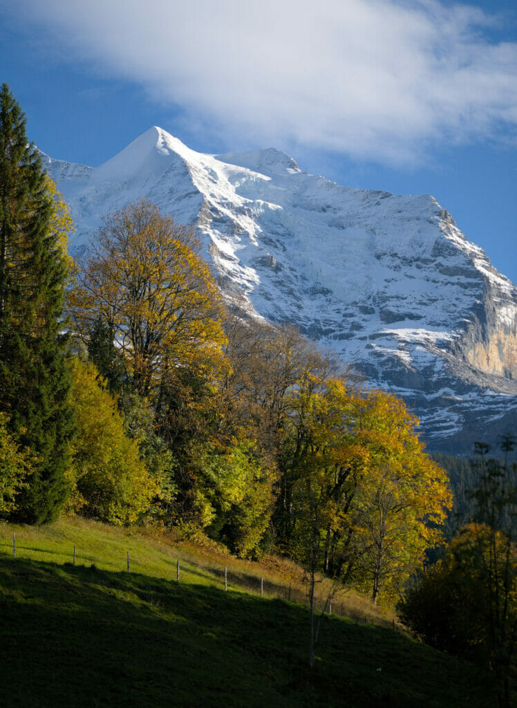
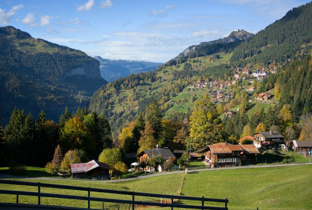
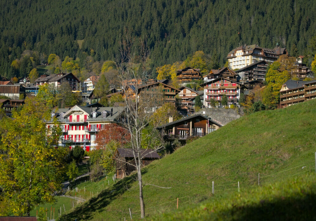
Once we arrived in Wengen we joined the itinerary and the markings of the Via Alpina, a path we already knew for having walked it in 2017 when we had followed the path N°1 from Sargans to Montreux 😉
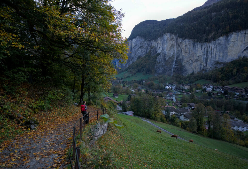
Since we had started the hike in the early afternoon, the sun had already disappeared from the valley when we returned to Lauterbrunnen. To have a chance to see the Staubbach waterfall in the sun, you really have to aim for the middle of the day…
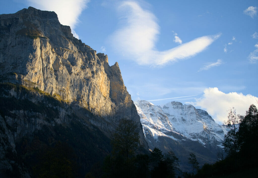
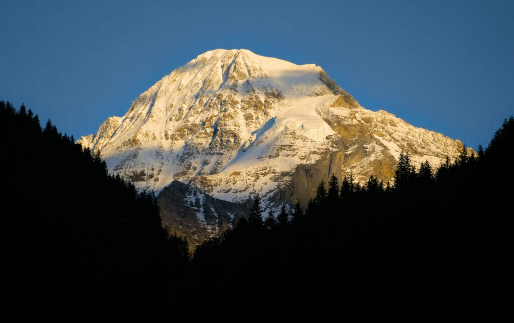
But it is not very bad to be in the shade, because we always benefit from a very beautiful sight on the surrounding summits illuminated by the last rays of sun of the day.
Information and map for the hike Trummelbach-Wengen-Lauterbrunnen
In all, our loop was 14.3 km with about 1000m of positive and negative elevation change. All in all, it took us about 5 hours to do the tour. The first part (leaving the waterfall) is quite steep. We would tend to recommend you to do it in the direction of the ascent (as we did). The rest of the itinerary does not present any particular difficulty.
Hiking map:
Note : If you wish to shorten the hike, it is possible to take the train between Wengen and Lauterbrunnen.
Walking tour from Lauterbrunnen to Stechelberg
This itinerary is not a hike as such, but rather a nice walk along the water to see the waterfalls and be at the foot of the cliffs. I put it in this article, because in the end, for each of our hikes, we ended up following it (our camping was roughly 2/3 of the way between Lauterbrunnen and Stechelberg). This route is by far the most followed in the region! Forget right away the idea on beeing on your own on this route…
In fact, here we follow a road (not open to traffic) but above all, we pass at the foot of the magnificent waterfalls of Staubbach, Spissbach and Trummelbach. 🙂
The big advantage is that it is VERY accessible! By bike, in a wheelchair, with a stroller, a scooter, this itinerary is perfectly practicable and offers magnificent viewpoints.
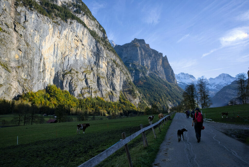
In total, the distance between Lauterbrunnen and Stechelberg is 5,8 km (one way), so it takes about 1h30 if you walk slowly. It is of course possible to turn around at any time to shorten the loop, but otherwise the alternative is to take a bus back to the starting point (connections are frequent).
Hiking map:
Note: there is a major glitch on the Alltrails topo map. It looks like the trail climbs up the cliff and makes us gain altitude… I reassure you, the path remains all along the water! The itinerary is almost flat (in fact there is 100m of difference in altitude spread perfectly linearly over almost 6km).
Go to the top of the Jungfraujoch?
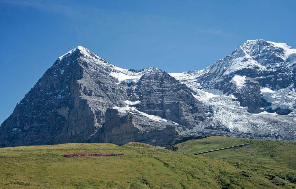
One of the reasons why the region is so well known and appreciated by travelers is probably also the fact that from here, you can climb "to the top of Europe" by train. Between Lauterbrunnen and Grindelawald, the Eiger, Mönch and Jungfrau Massif impresses… The craziest thing? You can go up to the pass that links the Jungfrau and the Mönch by train!
The Jungfraujoch is the name of this pass but also of the train station located at 3463m.
From up there you have a great view on the Alps and the Aletsch glacier! However, I would like to warn you that this excursion is not cheap… As for us, we haven't gone up there yet (we admit it, we are not ready to put 200 CHF for the round trip), but clearly it's an old dream that we will eventually realize one day.
If you are also reluctant to put so much budget, don't worry… as we showed you in the article, there are plenty of beautiful things to discover in the area. 🙂
But then, if you have the budget, this trip is most definitely worth it!!! Be prepared to see (a lot of) people, but also some simply amazing views.

You can buy your tickets online on Getyourguide (they have the advantage of offering tickets at the same price but with free cancellation up to 24 hours before, which can be practical in case of disastrous weather…)
If you are Swiss and have a half-fare or GA, go to the official website to buy it at a reduced price (the Getyourguide offer does not include the option to add existing discount cards) - however, be aware that these tickets are non-refundable (cancellation insurance is required)
This article contains affiliate links to partner sites like Geetyourguide. By using our links you do not pay anything extra but we will get a small commission. The affiliate links help us to offer you free, independent and ad-free content.
Other hikes in Lauterbunnen (Via Alpina route)
If you come to Lauterbrunnen and are looking for other fun hikes to do, we thought we'd share with you 2 routes we did when we followed the Via Alpina trails and passed by here.
From kleine Scheidegg to Lauterbrunnen via Wengen - Via Alpina
Officially, stage number 11 of the Via Alpina goes from Grindelwald to Lauterbrunnen, a big 20km stage with 1200m of ascent and 1400m of descent. Although we have good memories of the climb, we keep especially incredible images of the summit of the Kleine Scheidegg and the descent along the mythical ski run of the Lauberhorn.
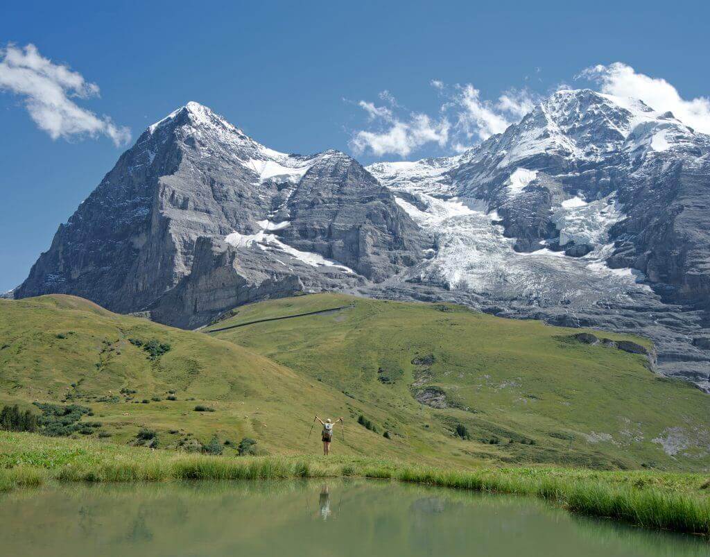
The panoramas are incredible and the small village of Wengen is really cute. In short, if you don't want to go all the way up the Jungfraujoch but still want enjoy a closer view of these giants, we advise you to follow the path N°1.
The advantage of this route is that you can choose to do it the way up or down according to your preference and do the other section with the train (Kleine Scheidegg <--> Lauterbrunnen). There is one train per hour (in each direction) and the journey takes 38 minutes. Price: CHF 16.4 for half fare, CHF 32.8 for full fare. Tickets can be purchased at the ticket machines on site or via the cff.ch application
To read the story of our hike from Grindelwald to Lauterbrunnen (and see the videos) it's here.
Infos sur la rando:
- Start/Finish: Kleine Scheidegg <--> Lauterbrunnen
- Distance: about 10 km
- Elevation change: about 800m (positive or negative depending on the direction of the hike)
- Duration: 3h (in the direction of descent) and 4h in the direction of ascent
Hiking map:
De Mürren à la Rotstockhütte et retour à Stechelberg
Another route that we can recommend is to climb towards the Rotstockhütte. During the Via Alpina we started from Lauterbrunnen. Although it is quite possible to do it like that, we must admit that the landscape becomes particularly spectacular from Mürren.
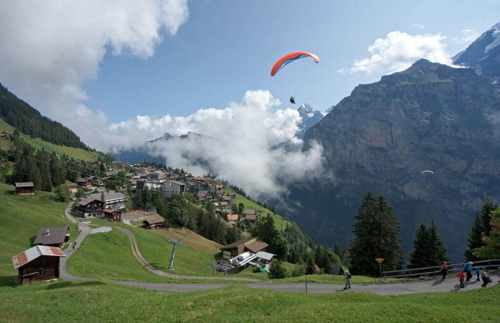
So, we advise you to take the cable car from Stechelberg to Mürren and then to make a loop that goes through the hut and then goes back down to Stechelberg following the river. Of course it is possible to do it the other way around if you prefer to go up rather than down, but take into account that it might take a bit longer than the times indicated below 😉
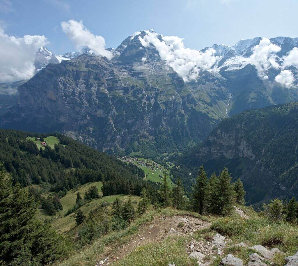
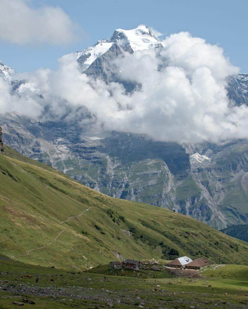
Hike info:
- Start/Finish: Stechelberg
- Cable car: Cabin from Stechelberg to Mürren via Gimmelwald (CHF 5.6 half fare, CHF 11.20 full fare)
- Distance: about 15km
- Elevation change: 560m + and 1350m -
- Hiking time: about 5h
Hike map:
Camping in Lauterbrunnen: Camping Breithorn
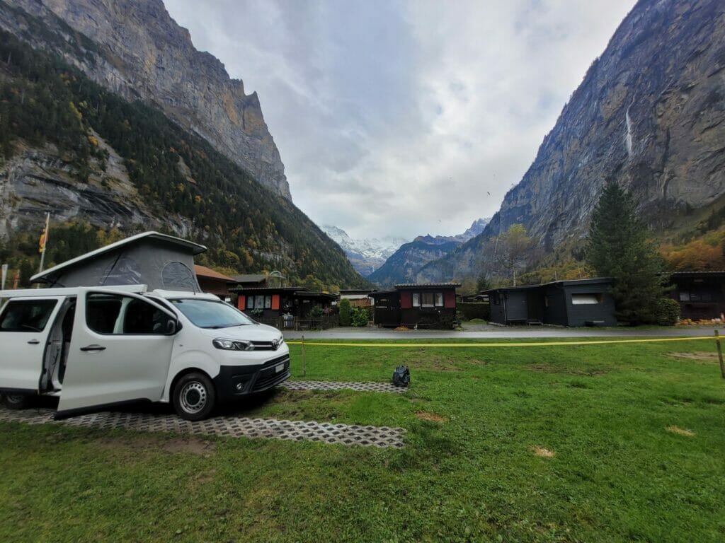
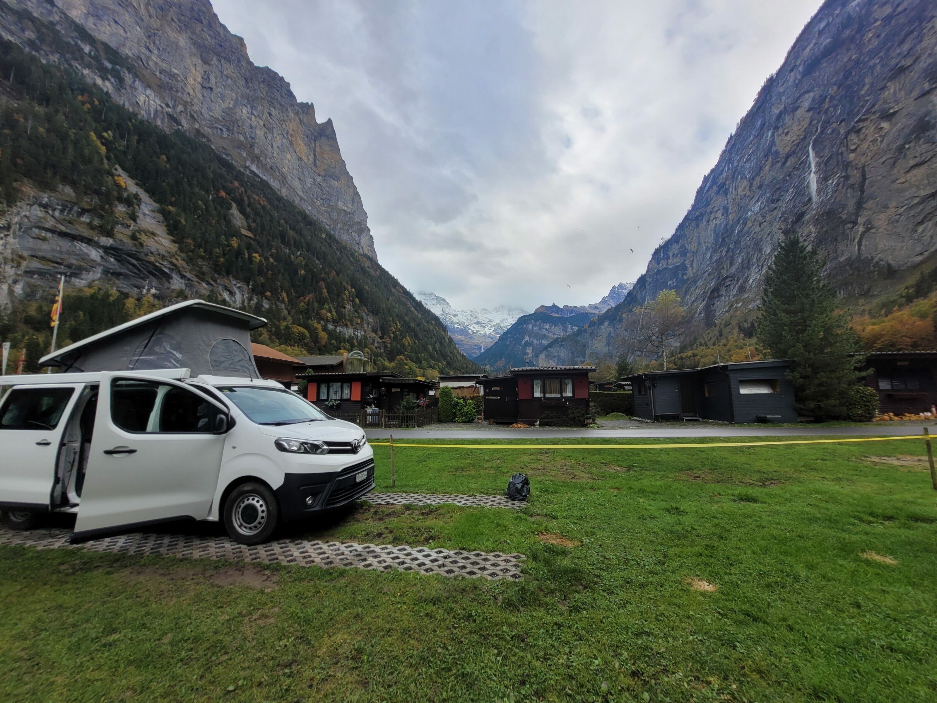
During this trip, we were traveling with our van "Dahu", so we didn't stay in a hotel in the region but looked for a campsite. During the Via Alpina, we had done the simplest thing and had gone to the Lauterbrunnen campground (we were on foot and not particularly inclined to make detours). This year, we did some additional research… In fact, the Lauterbrunnen campsite is very good in terms of infrastructure, but we won't lie, it is also extremely expensive (55 CHF per night for a van with 2 adults and the dog, without electricity! With electricity the bill goes up to 65 CHF per night)
Moreover, to book, they ask for a minimum stay of 2 nights out of season and 5 nights in high season… No doubt that they manage to fill their campsite, but personally we find that exaggerated.
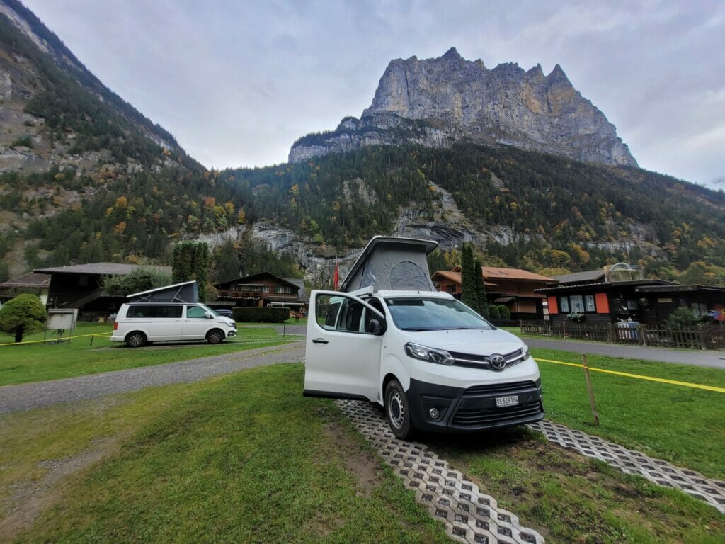
Anyway, 3km away is the small Breithorn family campsite. Much "smaller", it is a space by the river with simple but very clean sanitary facilities. The campsite is managed by a couple of farmers who are absolutely adorable and who also offer direct sales of their products. The night was 30 CHF (1 van, 2 adults and the dog, without electricity). For the region it's totally acceptable and we found this campsite much more charming than the first one 😉 Their website
3km of walk to save 50 CHF (we stayed 2 nights) we found that this was clearly worth it. 🙂 More especially as for the hikes which we made, we were ideally placed and could make everything on foot.
Hotels in Lauterbrunnen
If you are looking for a hotel instead of camping, there are of course plenty of options in the area. 🙂 The price range goes from roughly 40CHF per night per person in a hostel dormitory to… phew… in the area there is no limit!
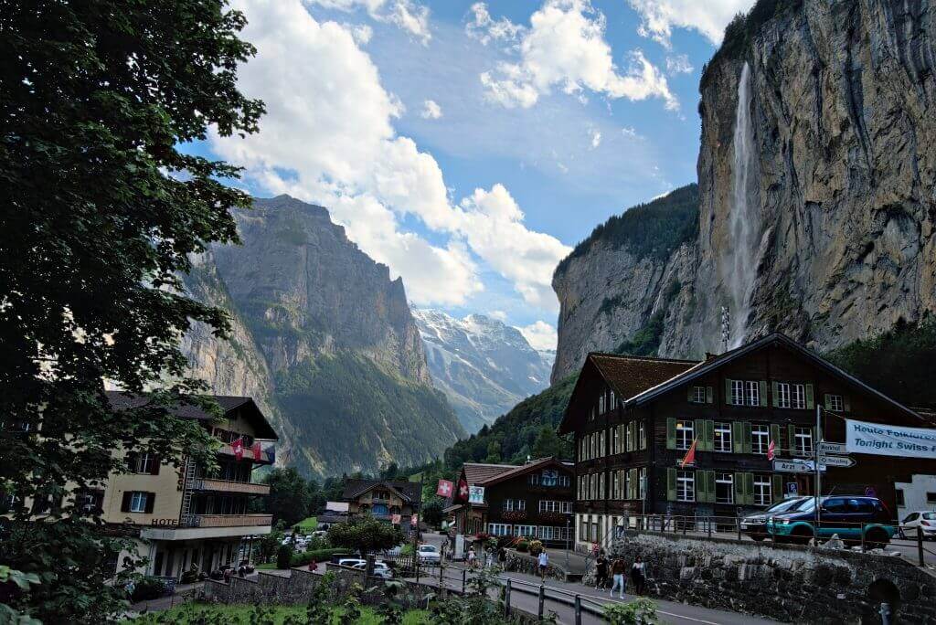
Note : Lauterbrunnen is clearly the most popular place. If you're willing to walk a bit and want to save a bit, it might be worth looking a bit further afield. For example, one establishment that has excellent reviews is the Alpenhof. The night costs 37 CHF per person. It is not in Lauterbrunnen, but in Stechelberg. For the hikes mentioned in the article, it is well located (20 minutes walk from the cable car to Mürren).
That's it for today. We hope you enjoyed this article and that it will give you some ideas to explore the surroundings of Lauterbrunnen! On our side, it's for sure a place we will come back to! See you soon!
Pin it



Join the discussion