Last part of our series of articles about Andalusia: La Sierra de Cazorla! After more than 2 months spent in the south of Spain, it was time for us to go back to Galicia… But before leaving Andalusia, we wanted to make a last stop in a natural park to take advantage of the nice winter weather and hike a bit!
The Sierra de Cazorla is not necessarily the best known tourist destination in Andalusia, and yet… Did you know that it is the largest protected natural area in Spain? Recognized as a biosphere reserve by UNESCO, this park of nearly 200,000 hectares is a real jewel in terms of biodiversity! Located in the northwest of the region of Jaen, the park also marks the border with the region of Castilla y León.
- Castril : small town at the gateway to the Sierra de Cazorla Natural Park
- Stroll through the village: the Cerrada del Rio Castril
- The Bosque encantado de Higueras – A real enchanted forest
- Mountain road in the Sierra de Cazorla
- The Cueva del Agua
- The sanctuary of the Virgin Tizcar and the castle of Peña Negra
- El pilon Azul: waterfall in Don Pedro
- Hiking in Don Pedro: our suggested route
- The pretty village of Cazorla
- Hiking around Cazorla
- Hike of the Borosa River
- Around the Linarejos waterfall – 2 short walks to do
- Map of things to see and do in the Sierra de Cazorla
Castril : small town at the gateway to the Sierra de Cazorla Natural Park
Ok… I know that the article talks about the Sierra de Cazorla and bam, the first village that we present to you is just outside!) But I reassure you, there are reasons for that! In fact, the Sierra de Cazorla being a protected area, there are not many roads in the park itself (nor villages). And for those who travel by van like us, it is important to note that it is forbidden to spend the night in the park (except in the campings and areas provided for this purpose). That’s why we also stopped in villages just outside the park.
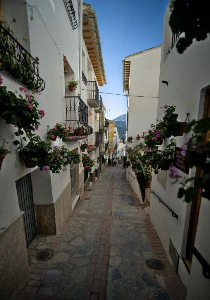
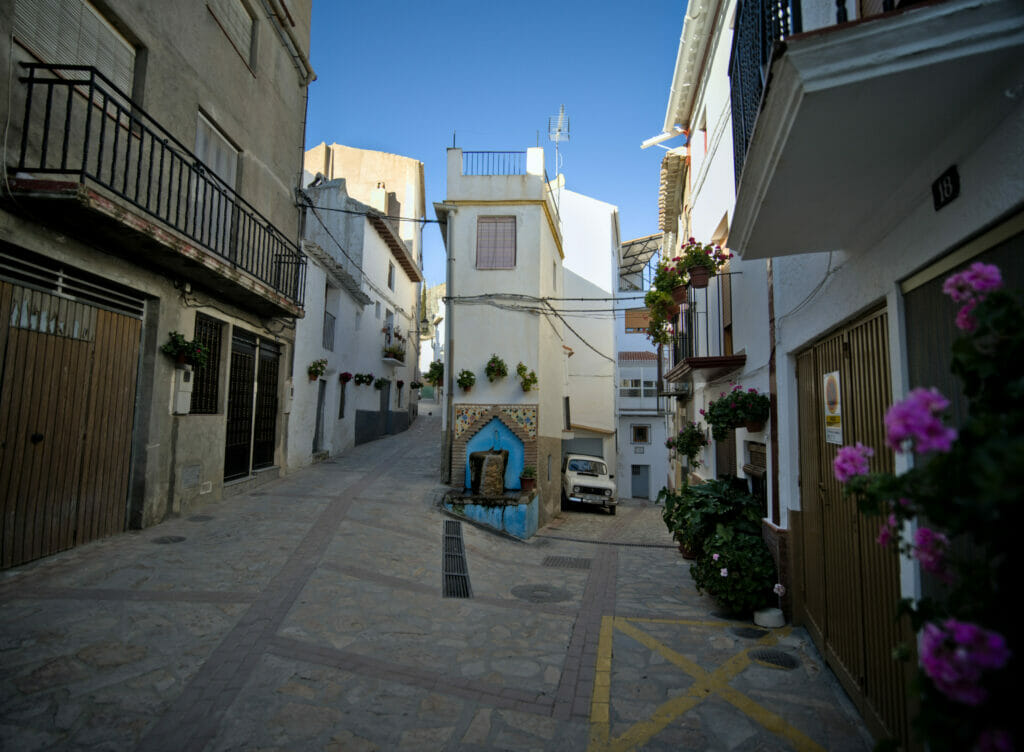
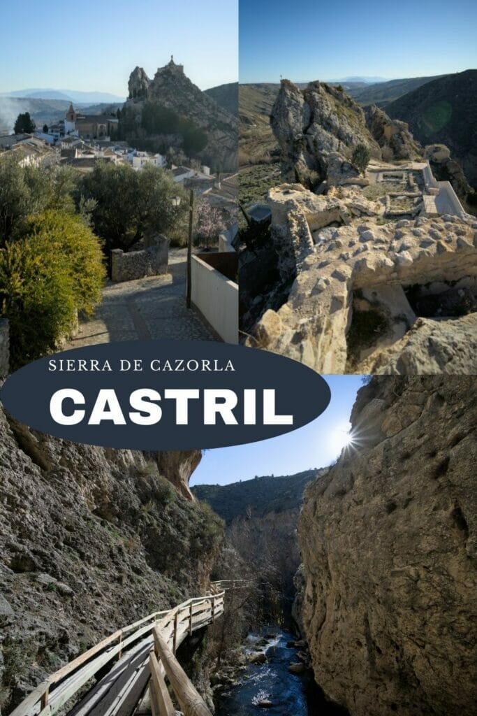
And since you have to go outside the park, we strongly recommend you to go through the small village of Castril! Nestled in the heart of the mountains, the village and its castle perched on top of a rock are clearly worth a visit! The history of the village is rich and it is quite easy to perceive the traces in the architecture. In Roman times, the village of “Castro” was built for purely military purposes (the dominant position was a strategic point). Then, in the Muslim era, the village was renamed Hisn de Castal (Hisn also meaning castle). Many Arab influences can still be seen in the streets of Castril today! By the 15th century, Castril was once again under the control of the Catholic kings.
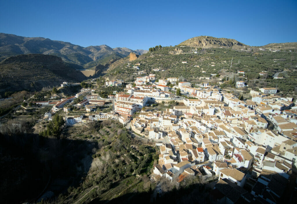
Tip : If you are in Castril on a Friday morning, don’t miss the market! The main street of the center hosts many merchants and you can find literally everything (there is much more choice than in the 2 small mini-markets of the village!). It is there that we bought the best cheese of our roadtrip!
One of the main reasons that brought us to Castril was our (urgent) need to take a shower (after 5 nights in the desert we really needed to clean up). In the middle of February, open campsites in the area are rare and Castril was our only option in the south of the park… Well… We will say that it had the merit to be open! The manager was very nice but on the other hand the infrastructures of the campsite are clearly old and the showers are really cold (not to say frozen). In short, a place ok for a stopover but I would not come there for a week of vacations 😉 After, it’s also here that we met a very nice couple from Aveyron with whom we spent a wonderful evening, so in the end we keep good memories.
But all this to say that while walking in the streets of Castril we also saw that the village had a lot of rural lodgings (casa rural) and if we had to do it again (or if we had planned to stay longer) I think we would rather go for that. You can see a list of accommodations on Booking.
Stroll through the village: the Cerrada del Rio Castril
Description
You are starting to know us, aren’t you? It’s hard for us to visit a place without at least planning a little walk 😉 Well I reassure you, the hike of the day will be short (3,7 km) but I promise it’s worth it!
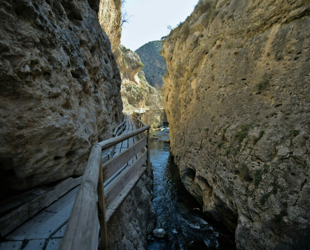
In addition to the village center and its undeniable charm, there is another place not to be missed in Castril: La cerrada del Rio Castril (the Castril River Gorge)
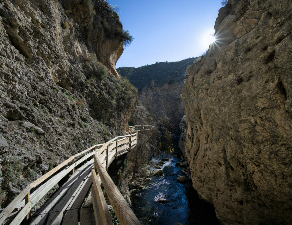
The walk starts at the bottom of the village, at the level of the river. For almost a kilometer, you start by going along the river on a succession of footbridges and suspension bridges. At the end, we go out at the level of a small restaurant then we go back up in the village by following a wide path. Once in the village, we advise you to go up to the church and then to visit the ruins of the castle.
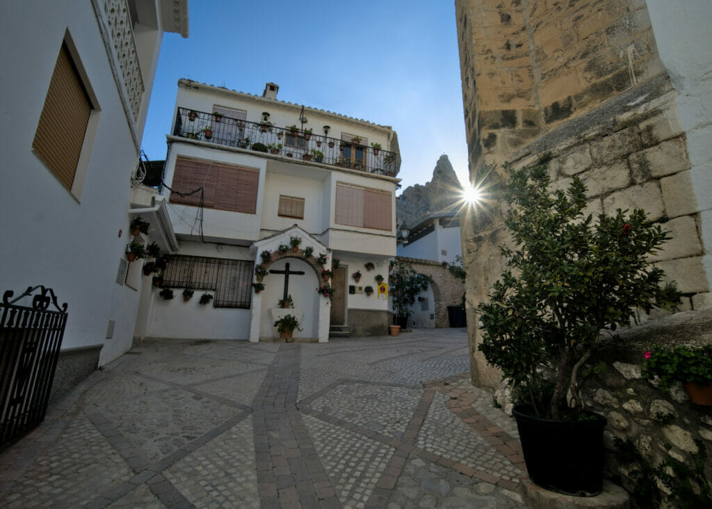
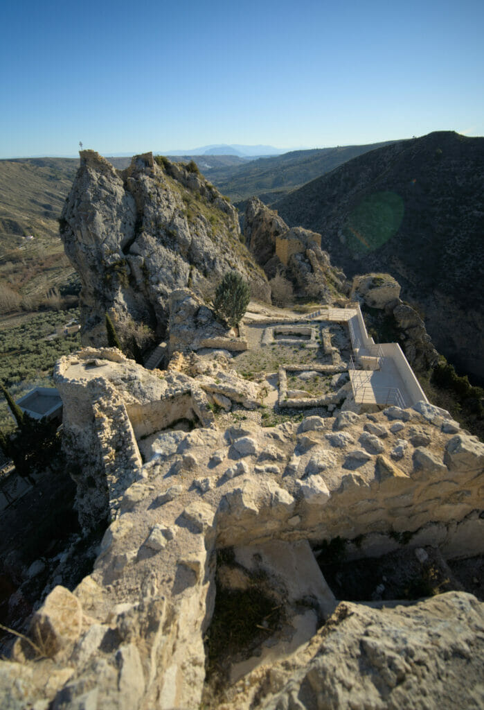
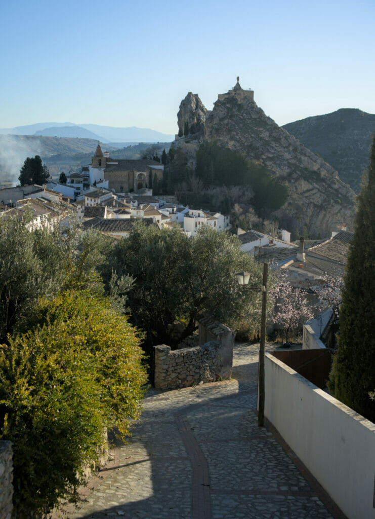
From the castle, we cross the center of the village and join the main road from which we have some very beautiful views of the village and the castle.
Map of the walk around Castril
If you want to follow the same itinerary as we did in Castril, here is the small map of the walk that allows you to go around the viewpoints while passing through the gorges.
Note that the entrance to the caves is not free (2,5€) and the entrance to the castle is 3€. It is possible to buy a combined ticket for both of them for 4,5€ (directly at the entrance on site)
The Bosque encantado de Higueras – A real enchanted forest

As it is often the case, we can thank Winchy for this new itinerary! 🙂 We were coming from the south and the road seemed a bit long to Castril so we decided to cut the route to stretch Mister Winch’s legs a bit before reaching the campsite… We just had seen the name “sendero del Bosque Encantado” on Google Maps and we thought it would be a good “pee” stop for the dog… So how can I explain it to you? This little stop turned out to be one of our favorite spots in the area!
A stroll in the Bosque Encantado de Higueras
If fairies and goblins live in Andalusia, then no doubt it must be here! 🙂 After the rather deserted landscapes around Guadix, we arrived in a real little lush paradise that seems to be straight out of a book of tales and legends. It’s actually quite funny, because when we arrive from the road it’s very difficult to imagine what is waiting for us. The bosque Encantado de Higueras is a very small loop (the trail must be about 800 m long) but believe us it is worth the visit as we feel immersed in a whole other universe.
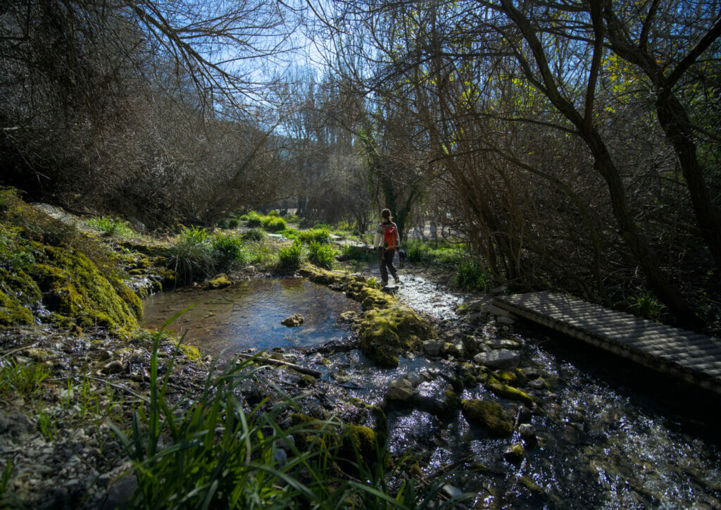
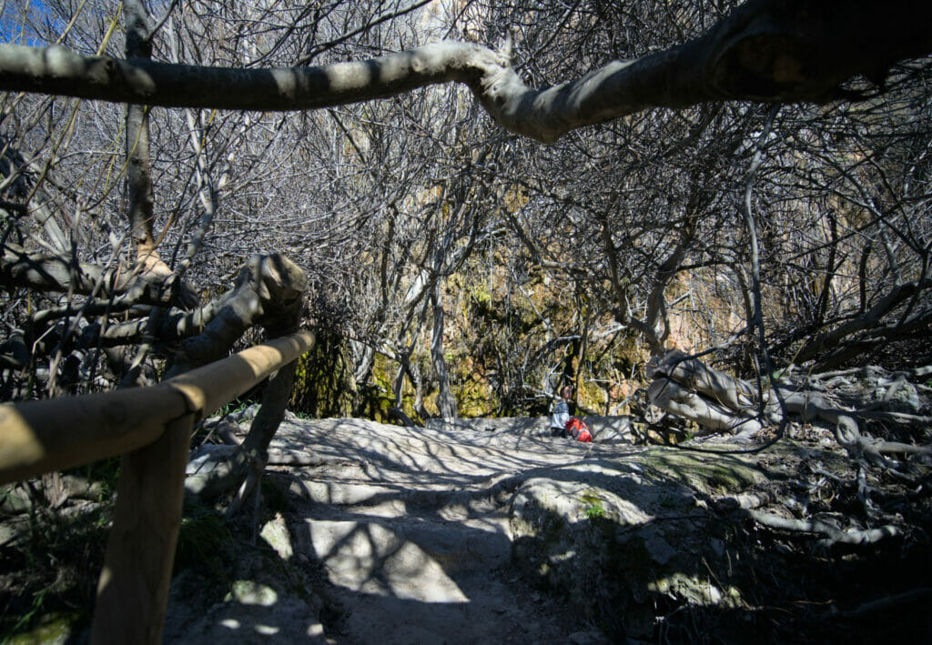
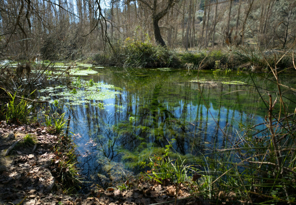
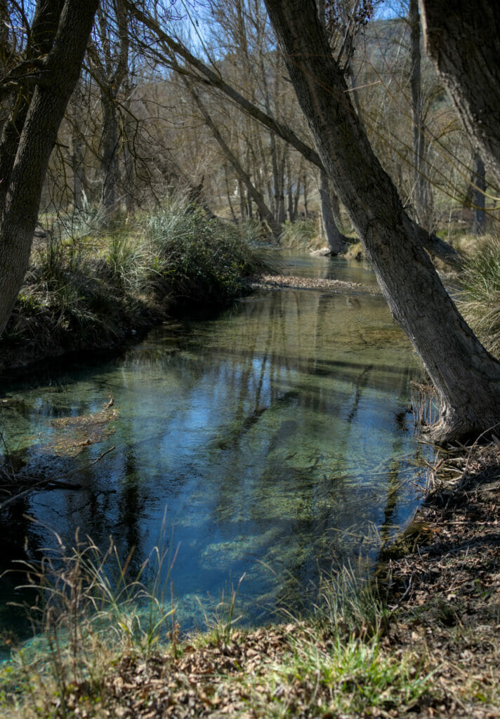
Our extension of the hike along the Rio Guadalentin
The zone of the bosque Encantado is really superb, but clearly it is very small! I might as well explain you that after this mini loop we had one who was still in super ready for more walks. 😉 In short, we decided to follow a little the Rio Guadalentin and to return to our starting point by making a loop which would allow us to take a little altitude.
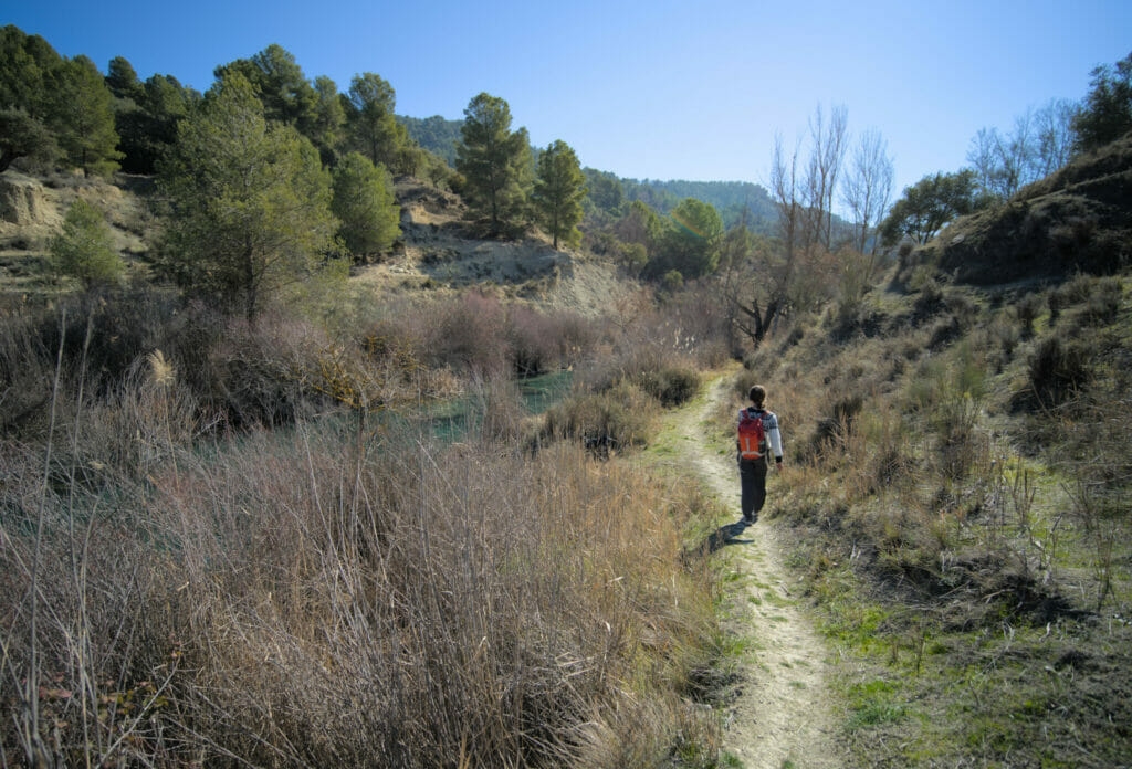
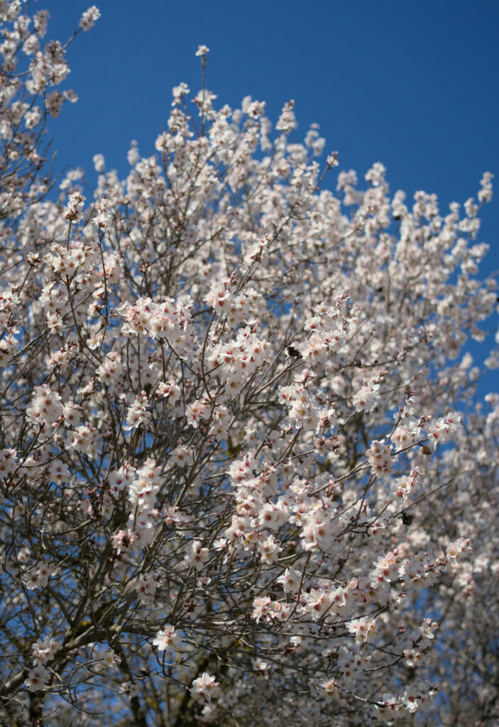
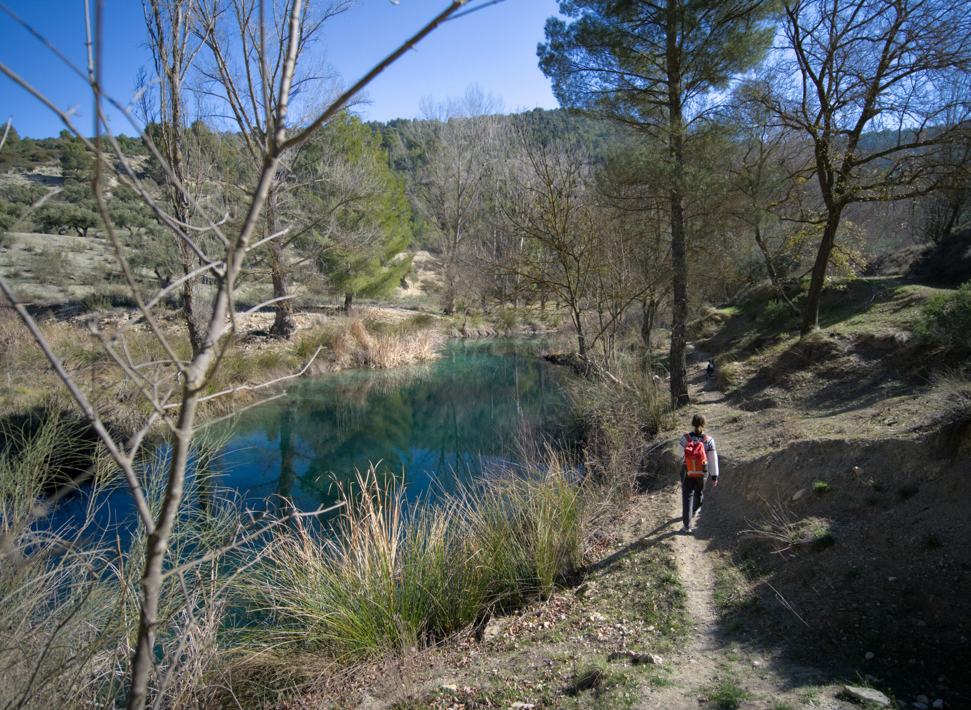
So I don’t know what’s going on in this Rio Guadalentin, but honestly, we have rarely seen a river of such a color! I promise you that the pictures below are absolutely unfiltered! The trail is not the most “maintained” but believe us, we can get used to it so much it is spectacular!
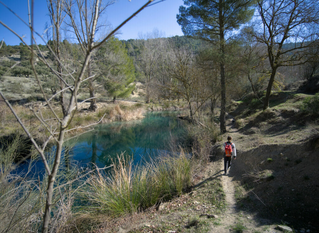
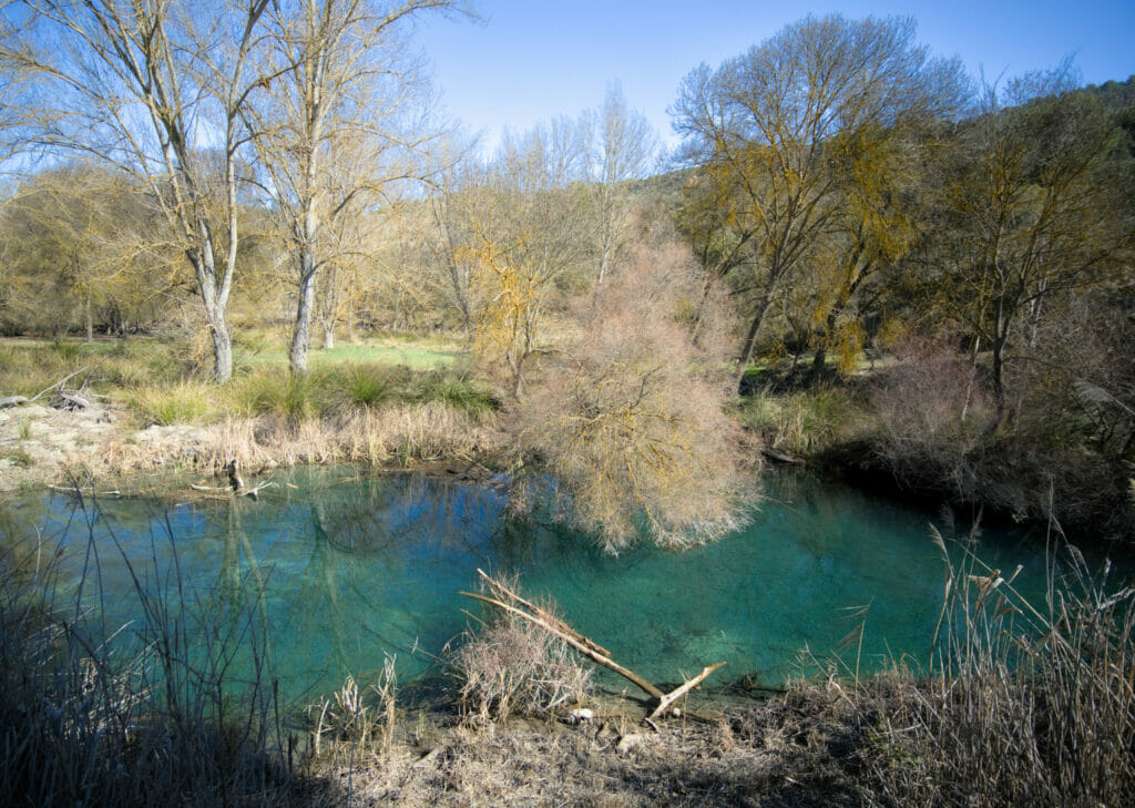
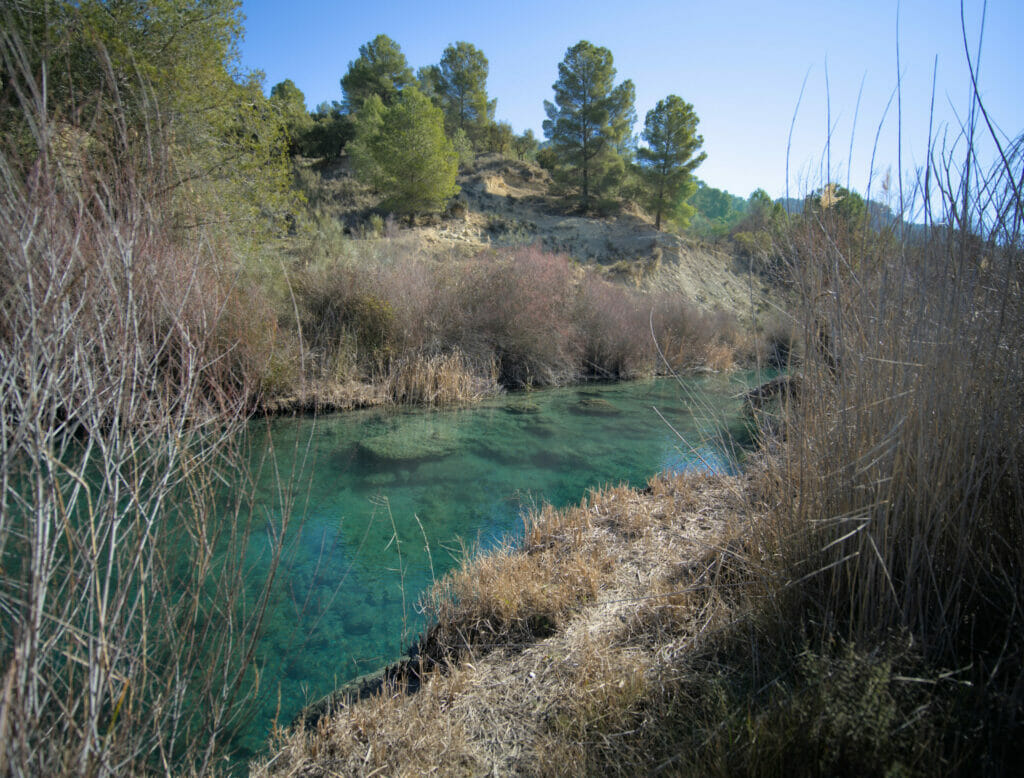
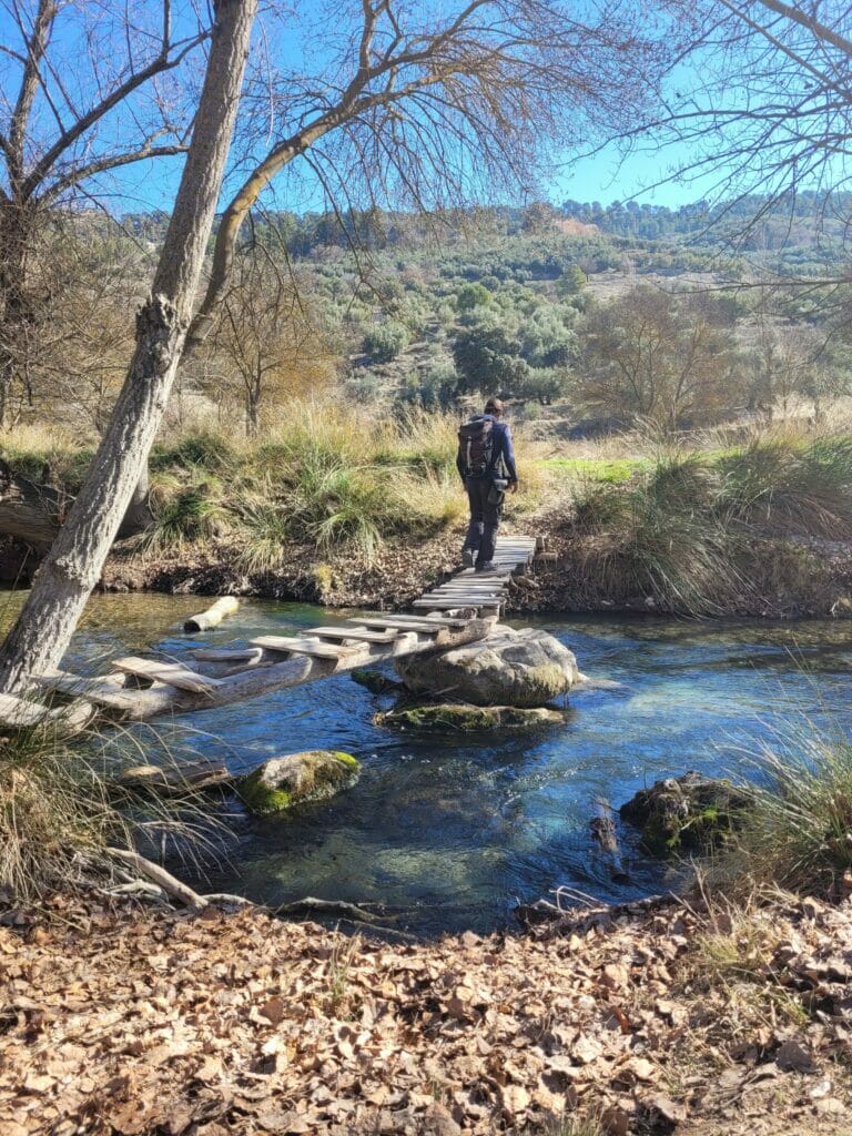
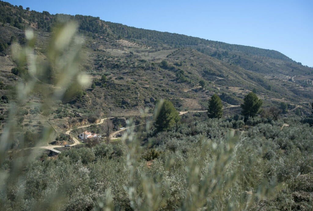
After about 2.5 km along the water we reach a bridge where a rural house is on the other side. At this point, we decided to go back up the trail. At the first crossroads we turned right and followed a track that climbed through the olive trees until we came back to the larger track we had arrived by car. This return “by road” allows us to have some nice views of the valley and the river.
Map of our hike to the Bosque Encantado and Rio Guadalentin
Below you will find the map of the route we followed. The parking lot is located at the water’s edge (at the place marked as the starting point). To get there, you have to come from the A326 road that goes to Pozo Alcon. However, we warn you that the access road is quite steep in some places…
It’s no problem (even with our van) but if you have a big camper or a very small vehicle (with little horse power), we advise you to park on the A-326.
The Bosque Encantado itself is the tiny loop north of the parking lot. My GPX indication is very approximate, at this place you just have to follow the small paths and footbridges and especially not to miss the small source in the trees on the high part of the mini-course. If you have time, we strongly advise you to go along the river a little more (in round trip if you want to avoid the elevation gain, or by making the loop as we did it).
In all, our loop is 6,4 km long and it takes 1h30-2h to do the hike at an easy pace.
Mountain road in the Sierra de Cazorla
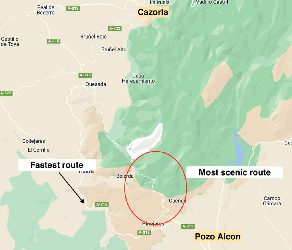
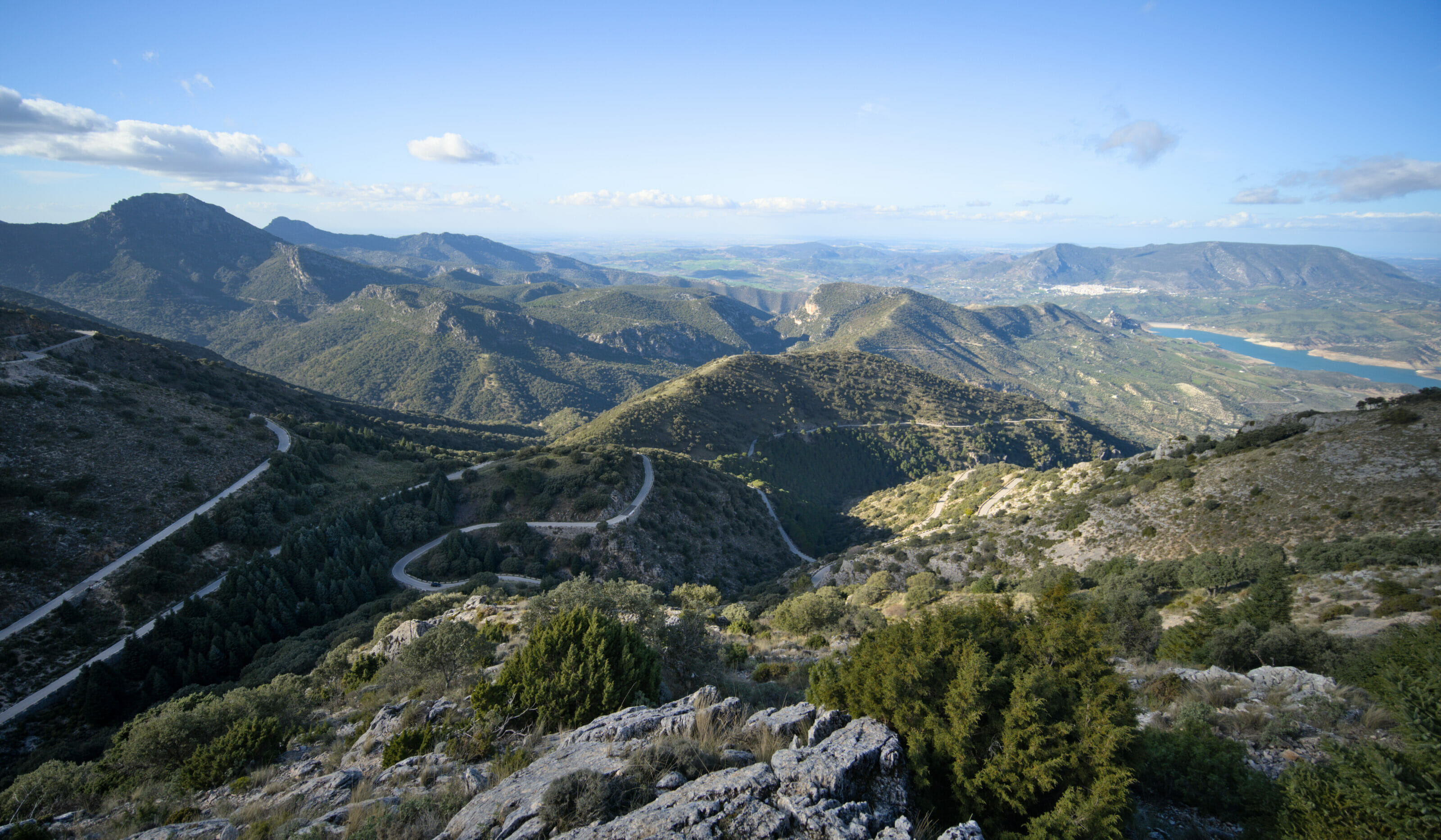
As I told you above, there are not many roads that enter the park… When we looked at the itinerary to go to Cazorla (the village) we saw that Google wanted us to go by the main road that goes around the Sierra. Looking at the map, we were immediately more attracted by the more sinuous road that enters the park and that passes by the cueva del Agua (about which we tell you below). Unfortunately, we don’t have any pictures of the road (it’s quite narrow and it’s difficult to stop on the side) so you’ll have to take our word for it when we say it’s really worth it. 😉 It really reminded us of the mountain roads of our beloved small alps with the numerous hairpin bends, the only difference being that here we have vultures circling above our heads haha
The Cueva del Agua
If you decide to follow this road, we highly recommend a short stop at the Cueva del Agua. This cave is also known as the “Cave of the Virgin of Tizcar”. This nickname comes from a legend that tells that the virgin appeared here during the Christian reconquest.
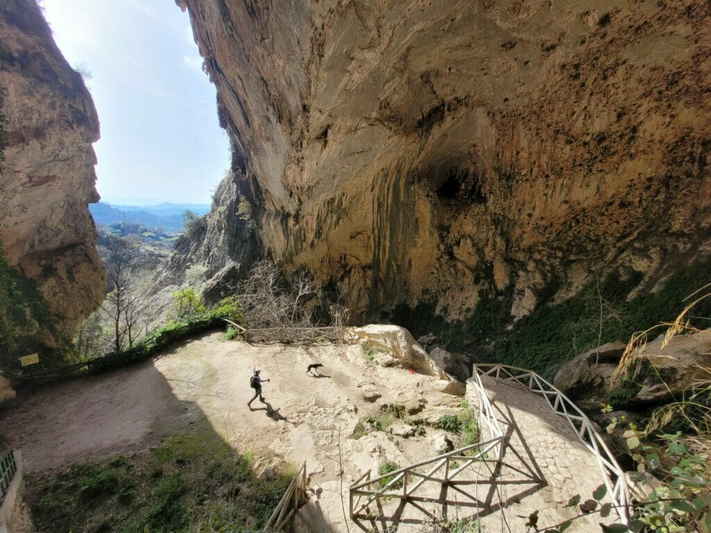
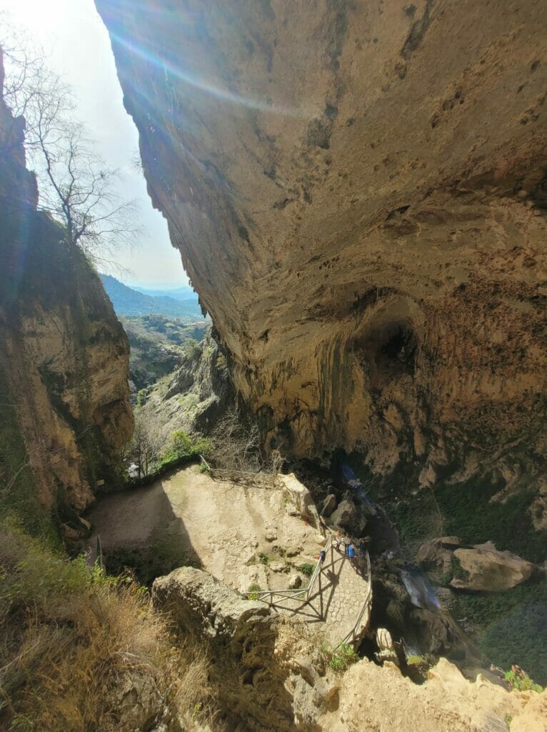
It is said that at the time of the Muslim domination, the governor Mohamed Andon saw an incarnation of the Virgin and that the latter suggested to him to surrender to the Christians. Furious, he would have seized a statue of the Virgin to throw it in the cave… The statue would then miraculously reappear in the sanctuary. In total he would have thrown it 7 times, and 7 times it would have come back up! In a fit of anger, he then went down into the cave to destroy the statue with his knife. Later, the Christians went to recover the pieces and sent them to Toledo to have it repaired… But even before the restoration work was undertaken, the statue would have reappeared by itself in the sanctuary.
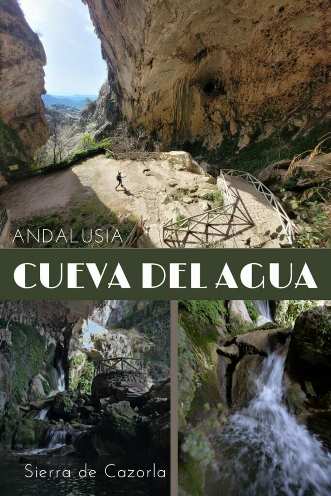
To reach the cave you have to follow the signs from the small parking. We arrive in front of a tiny tunnel of 1m30 high through which we have to pass to arrive in the main room of the natural cave. Stairs have been built and you can easily go down to the main esplanade to observe the beautiful waterfall that seems to spring from the rocks.
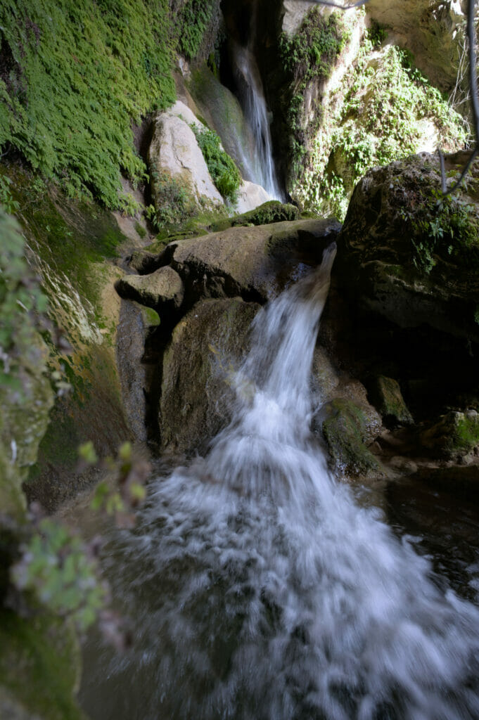
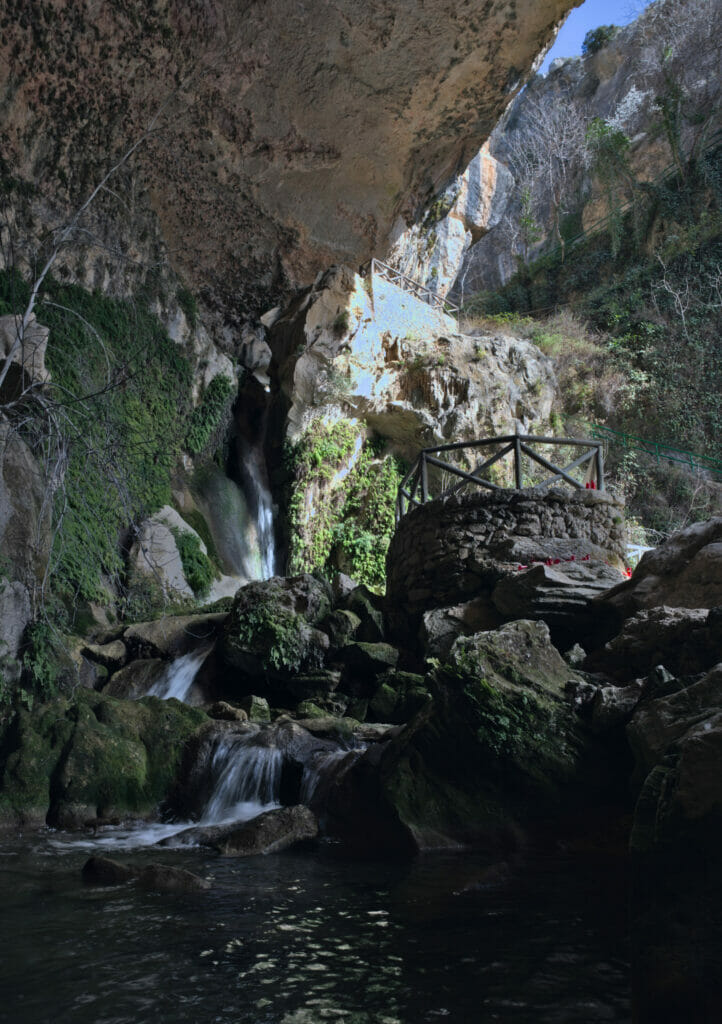
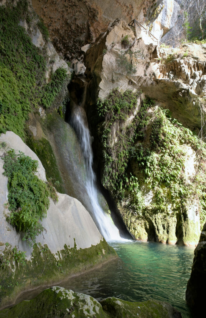
You will surely notice that it is not a cave in the true sense of the word in the sense that it is open on the top… But phew… it’s so beautiful! Besides, fun fact, the acoustics are apparently excellent and every year concerts of flamenco and traditional music are organized there.
The sanctuary of the Virgin Tizcar and the castle of Peña Negra
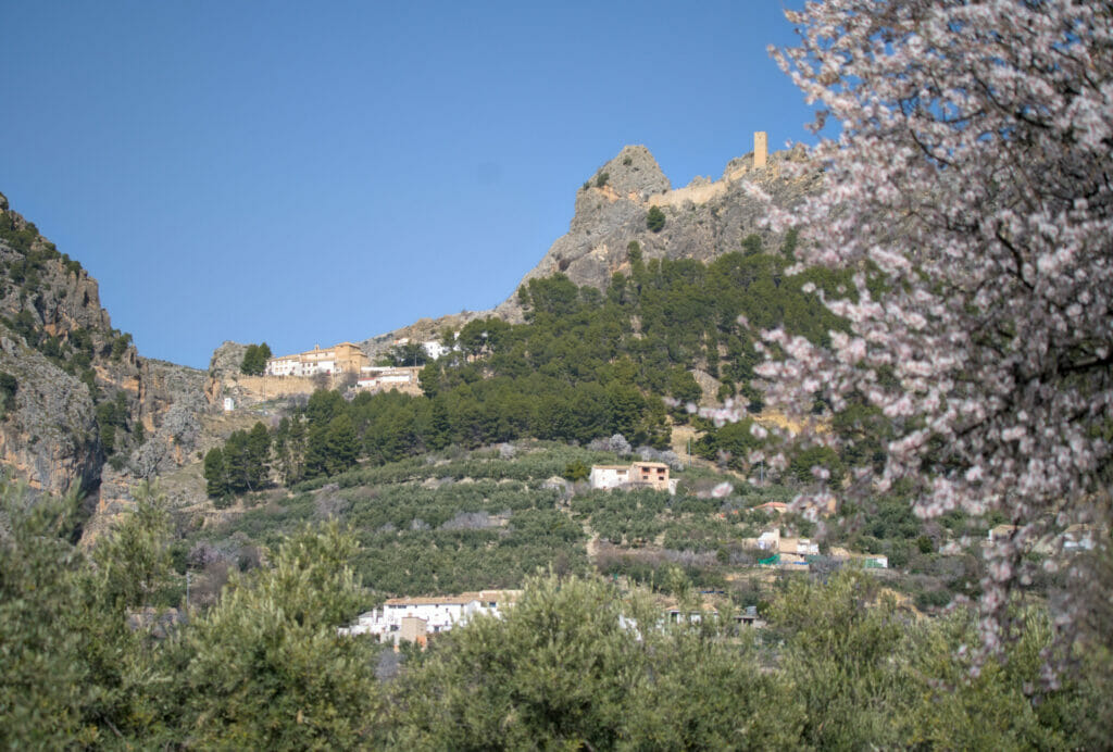
Just above the Cueva del Agua is the sanctuary of the Virgin Tizcar. We are not sure if this place can be visited (we would tend to say yes, but when we were there everything seemed closed). However, what is definitely open and highly recommended is the climb to the ruins of the Peña Negra castle!
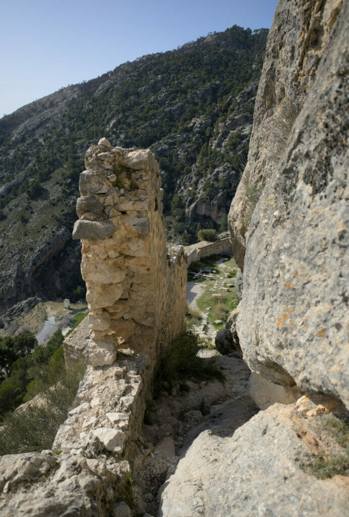
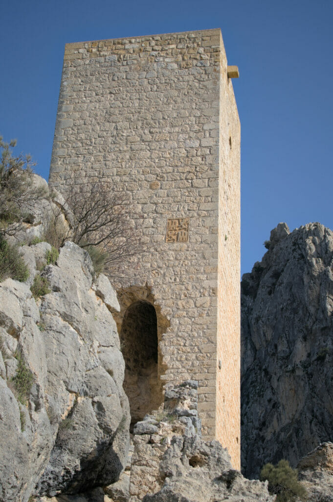
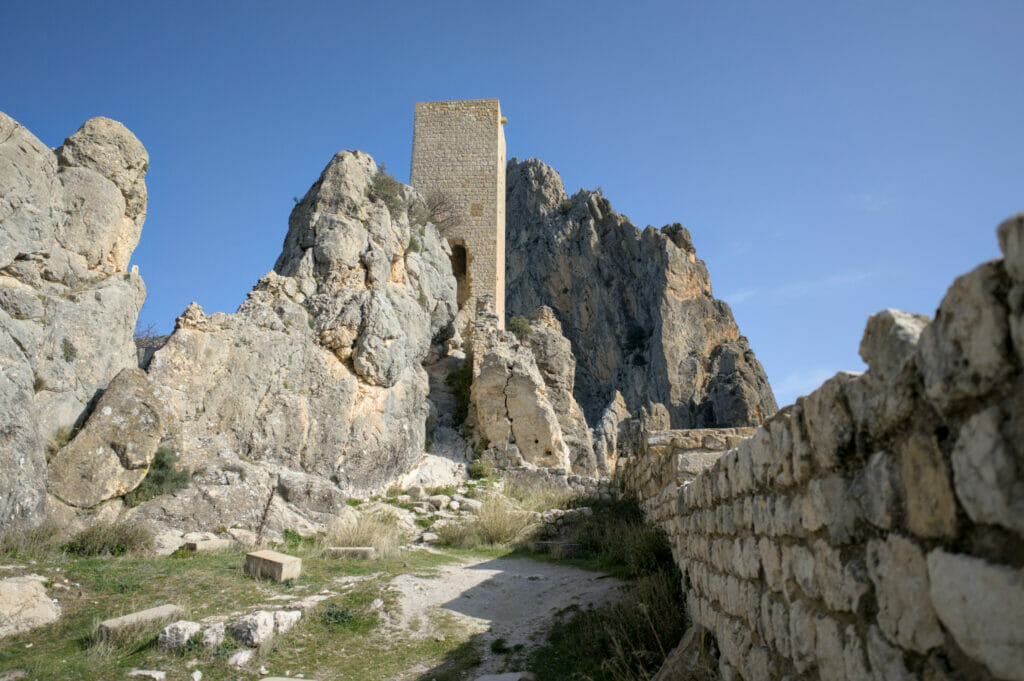
The first version of this castle dates back to the 11th century, but the version currently visible is the one that was rebuilt by the Christians after the reconquest in 1319. There is not much left except a tower and some ramparts, but the view from up there is clearly worth the trip!
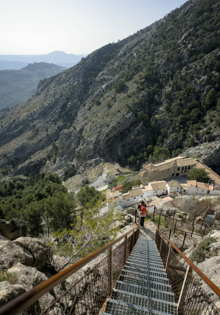
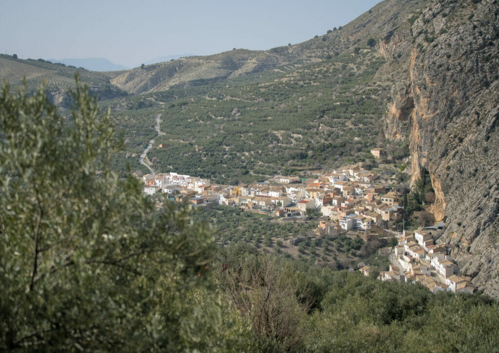
To reach the ruins, go up to the right of the sanctuary and follow the path that winds up behind the houses. Once at the foot of the castle you must go around the first tower to take the staircase (secured) that was added later.
El pilon Azul: waterfall in Don Pedro
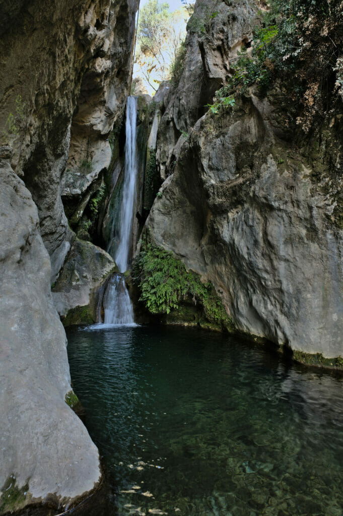
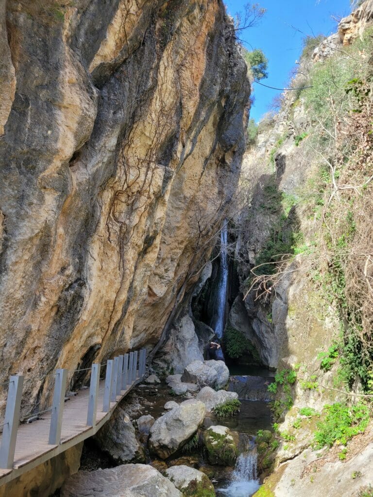
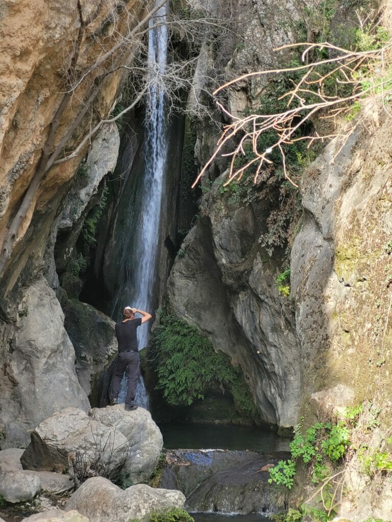
About 1 km after the village of Don Pedro there is a second waterfall that is very nice to see: El Pilon Azul. It’s not the most impressive waterfall in terms of size, but it’s a special place because from the road you don’t even suspect it’s there! To reach it, we have to follow a path with footbridges that leads us into a kind of gorge at the bottom of which the waterfall is located.
Hiking in Don Pedro: our suggested route
The ruins of the castle and the Cueva de l’Agua are located a few meters from each other, so it is quite possible to see them by parking in the small parking lot along the main road. If you also want to see the Pilon Azul waterfall, it is possible to simply go back and forth through the village of Don Pedro.
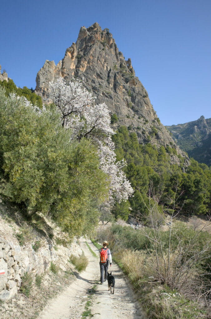
But you know us, we don’t really like hiking twice the same route! In short, during our visit, we opted for a 10 km loop hike in order to discover the surroundings a little more. If you feel like following the same itinerary, we put the map of our walk below. Count 3h-3h30 to make the loop and to stop at the various points of interest (castle, villages, the cave and the waterfalls)
The pretty village of Cazorla
After Castril, Cazorla was our second “home base” of this small roadtrip in the north of Andalusia. Home base? Yes, as mentioned before, it is forbidden to spend the night in the park with a van (except for some campsites and specific areas) and Cazorla is just outside of it. In addition, the village has provided a parking area that is really nice (free with a nice view) which is rare enough to be noted!
In short, we left totally delighted with this village! The charm of Cazorla is undeniable and the location is simply perfect to go explore the natural park.
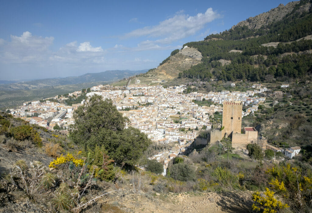
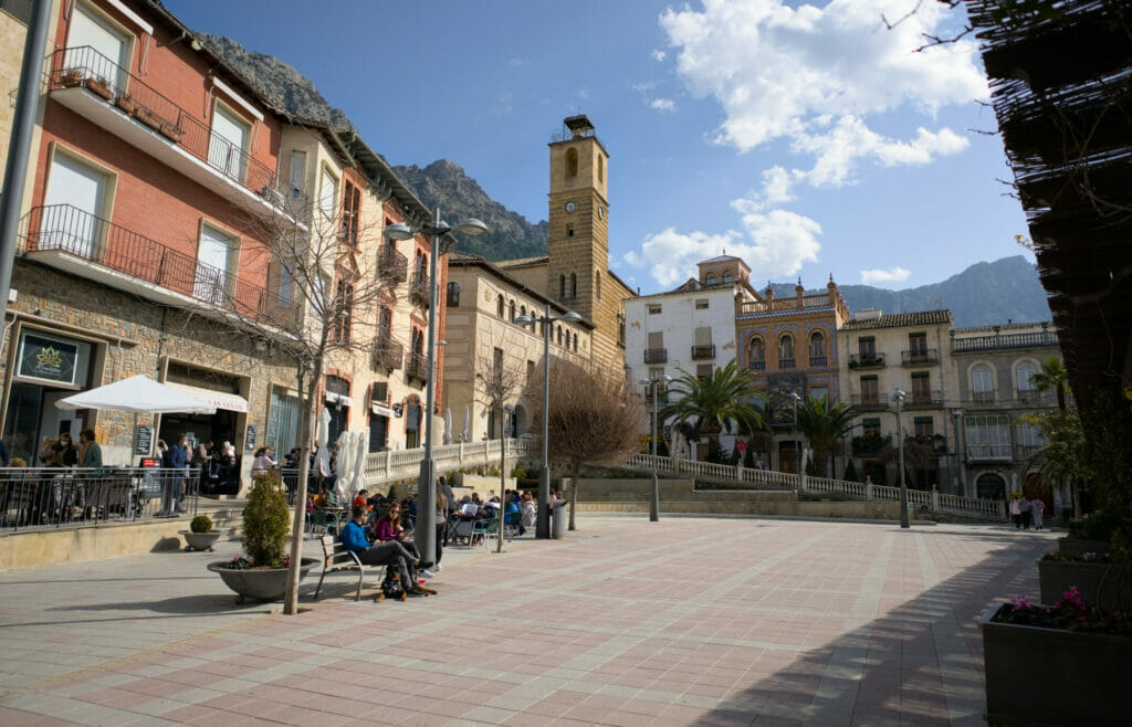
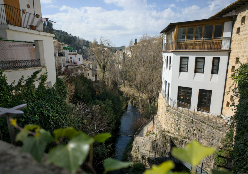
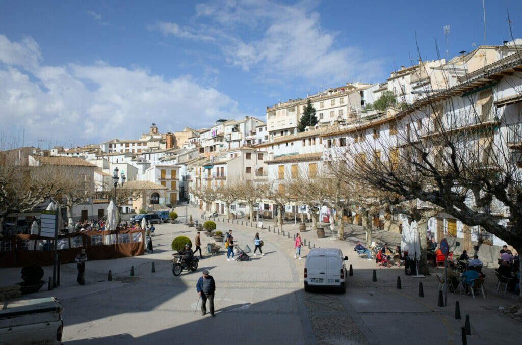
Located at an altitude of about 840m, the small town founded in Roman times is divided into several parts. The more recent part (less interesting from a tourist point of view), the old town and its small streets as well as the district of the castle which overhangs the valley. We really enjoyed walking around and doing our shopping. By the way, speaking of stroll, do you want us to take you for a walk to discover the old town and the most beautiful viewpoints of the surroundings?
To visit Andalusia and the Sierra de Cazorla Natural Park, a car will be essential (there is no public transportation to get to the beginning of the hikes). If you want to rent a car, we recommend as always to compare prices on Rentalcars.
Hiking around Cazorla
Starting from the camping car area, we did a nice 12km loop hike. Our basic idea was to simply follow the Rio Cerezuelo trail, a loop of about 7km that goes along the Nacelrio river and comes back to the Yerda castle following a trail along the mountain. But then we noticed another castle perched a little higher (the castle of the cinquo Esquinas) and we spontaneously decided to prolong the loop a little to see that more closely. Well, what? If there is an additional viewpoint where we can hike up to, we’re usually always up for it. 😉
So our route started in the old center of Cazorla. There, our map itinerary (see below) is very “direct”, but we clearly recommend you to stroll a bit between the different alleys and, why not, go down to the path that runs along the river in the city, the paseo del Rio Cerezuelo (I put a number 1 on the map below).
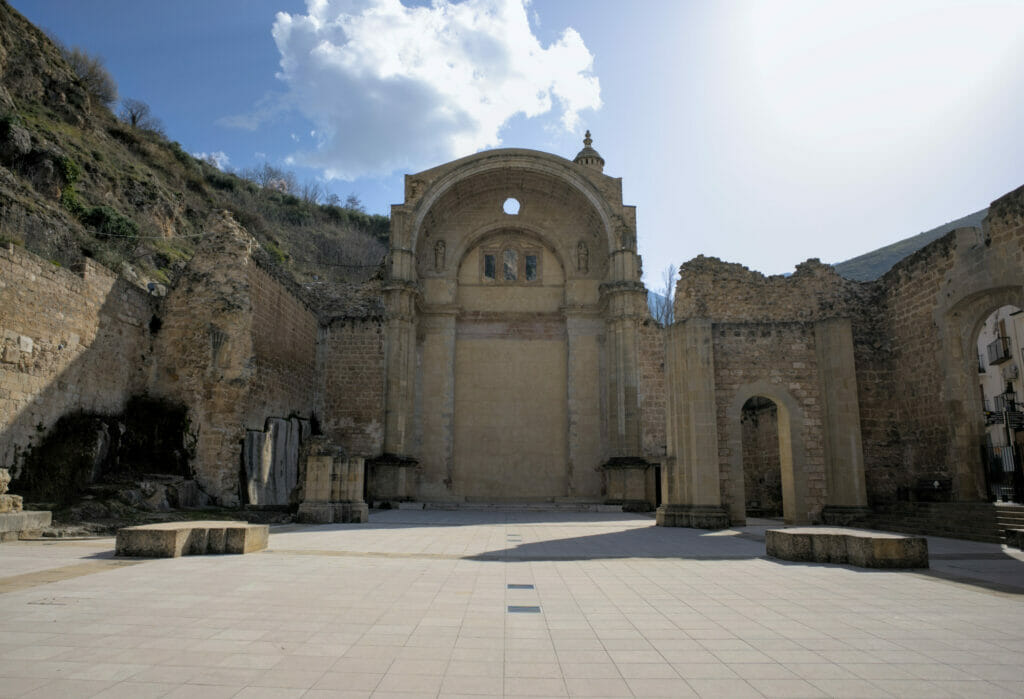
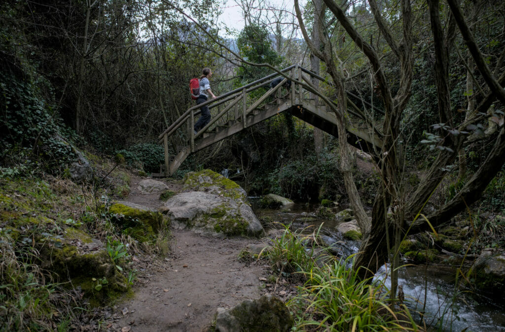
To reach the beginning of the hike, pass in front of the ruins of the Santa Maria church and follow the road to a crossroads where you will see the official start of the trail indicated by a sign. The first 2 kilometers of the walk follow the river, passing through a succession of small wooden bridges. Very well made, this path is very pleasant (even if we will admit that there can be quite a lot of people).
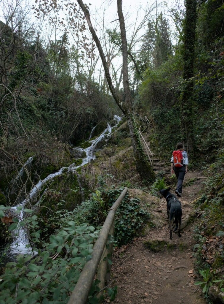
At the Fabrica del Nacelrio, the “official” path returns in the direction of Cazorla. Instead, we chose the left path that goes up towards a waterfall.
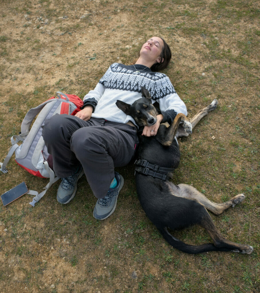
We join a track at the level of a fountain and we follow this time the markings of the GR 247. The track makes us arrive at the pretty mirador of Riogazas (excellent spot to take a nap if you want my humble opinion 😉 ). From the mirador, we continue on the track until a hotel and then we join a path that allows us to cut the twists and turns of the road. When you reach the track, you have to follow it to the right and be careful not to miss the path that goes in the direction of the Cinque Esquinas castle.
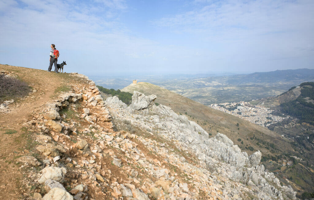
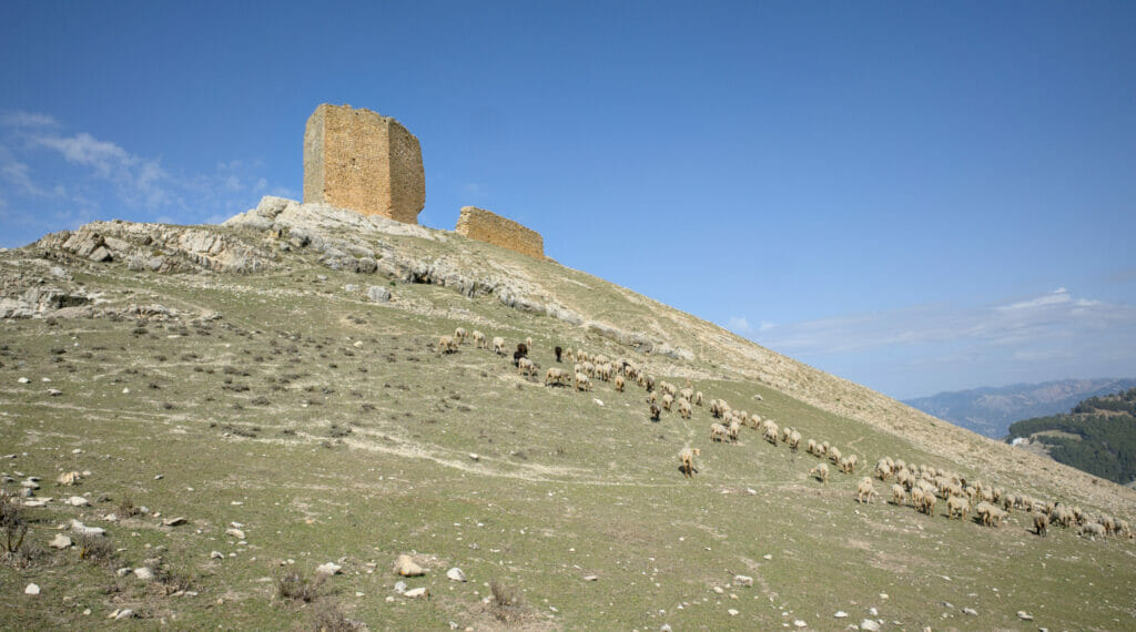
When I say castle, I should rather say ruins… because unfortunately there is not much left of this castle built in the middle of the XIV century. Nevertheless, it’s really worth going up there to admire the view of Cazorla (don’t hesitate to go a little further up the field behind the tower).
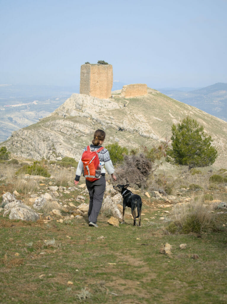
From the ruins of the castle we followed the path that zig-zags down until we reach the official route of the Rio Cerezuelo again. From there, the trail runs along the side of the mountain until it reaches the top of Yedra Castle. The last descent is a bit steep, but if you are careful where set foot it is easy (and the trail is well marked).
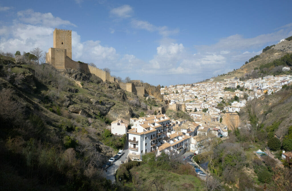
Having Winchy with us, we skipped the visit to the castle but you should know that it is possible to see an exhibition on the popular arts and customs of the Alto Guadalquivir.
Hike of the Borosa River
Rio Borosa Trail
With Benoit we are always a little apprehensive when we read online that a spot or especially a hike is a “must” in the region. After, we are also very curious and clearly we will go to see by ourselves! When we came to the Sierra de Cazorla, there is a hike which is often quoted as being THE hike to do: the rio Borosa
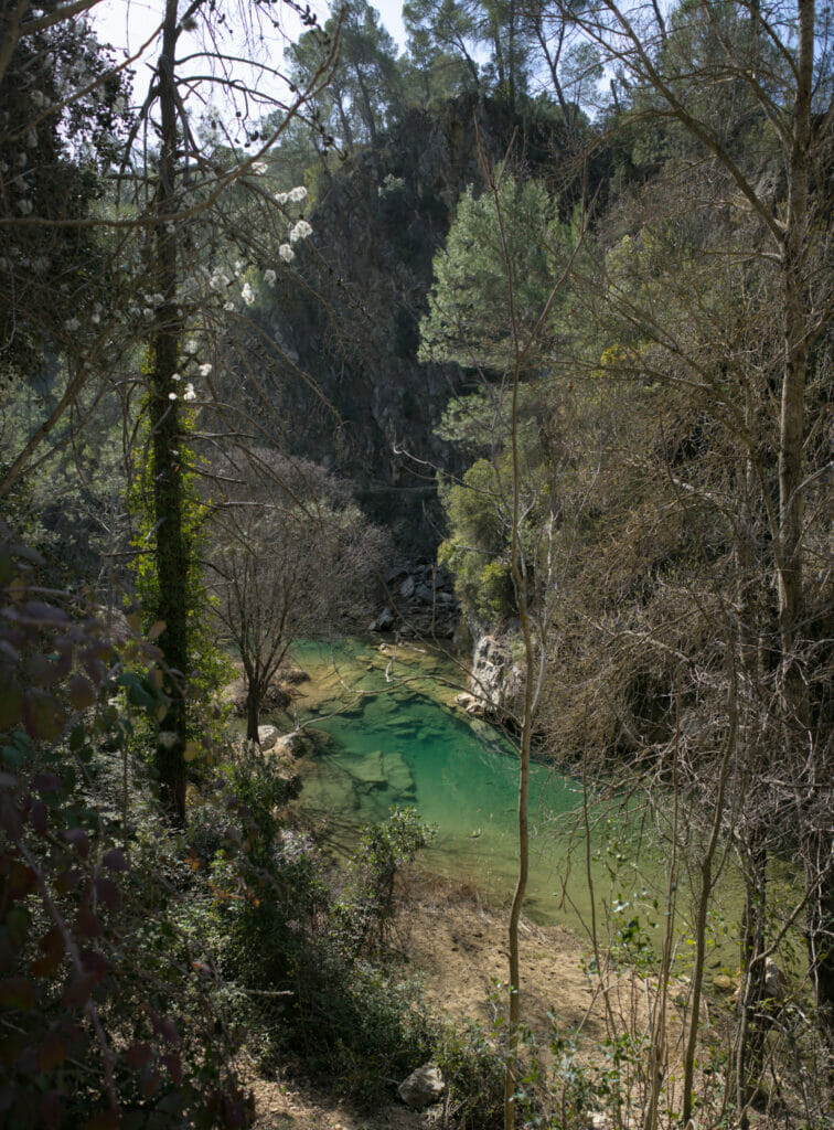
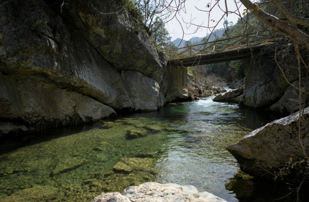
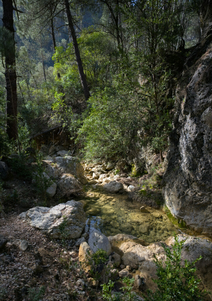
We did the hike and we decided to include it in this article because yes, it is a beautiful place. After, if you have time, we clearly advise you to also plan other spots about which we speak to you in this article and not to limit you to this one.
Is the Rio Borosa a beautiful place? Oh yes, it’s beautiful! BUT… You have to know that it is very popular! Coming here in the middle of winter, during the week, we were surprised by the amount of people on the route. We have no trouble imagining that in summer it must be crazy… The size of the parking lot is a good indication of how busy the place is.
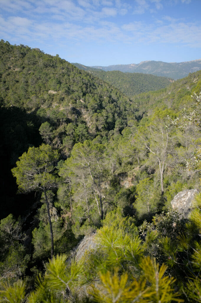
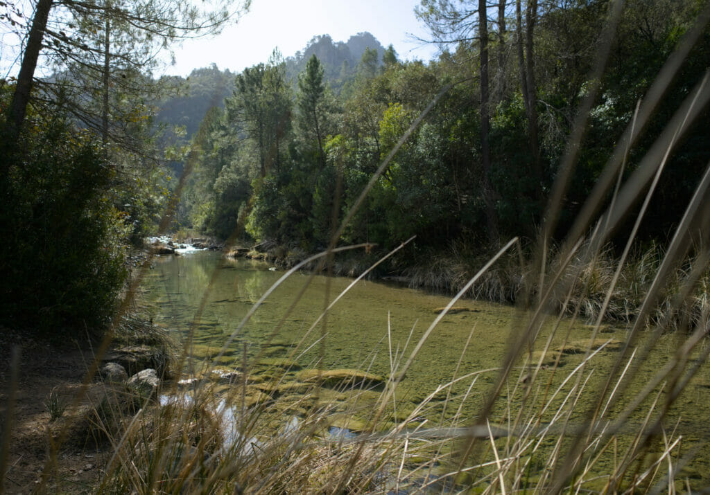
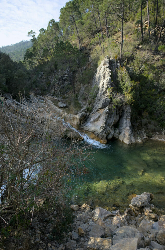
Moreover, the second point that we find important to mention (and that we had not especially seen during our research), it is that the hike (10km) follows for a very large part a track. Of course, the trail is closed for cars, but it’s far from being a bucolic path along the water! The vast majority of the photos presented online of this hike come from a short section that is done on footbridges. In our article, however, you will not see any, as this section was unfortunately closed for renovations during our visit.
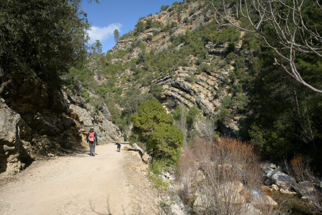
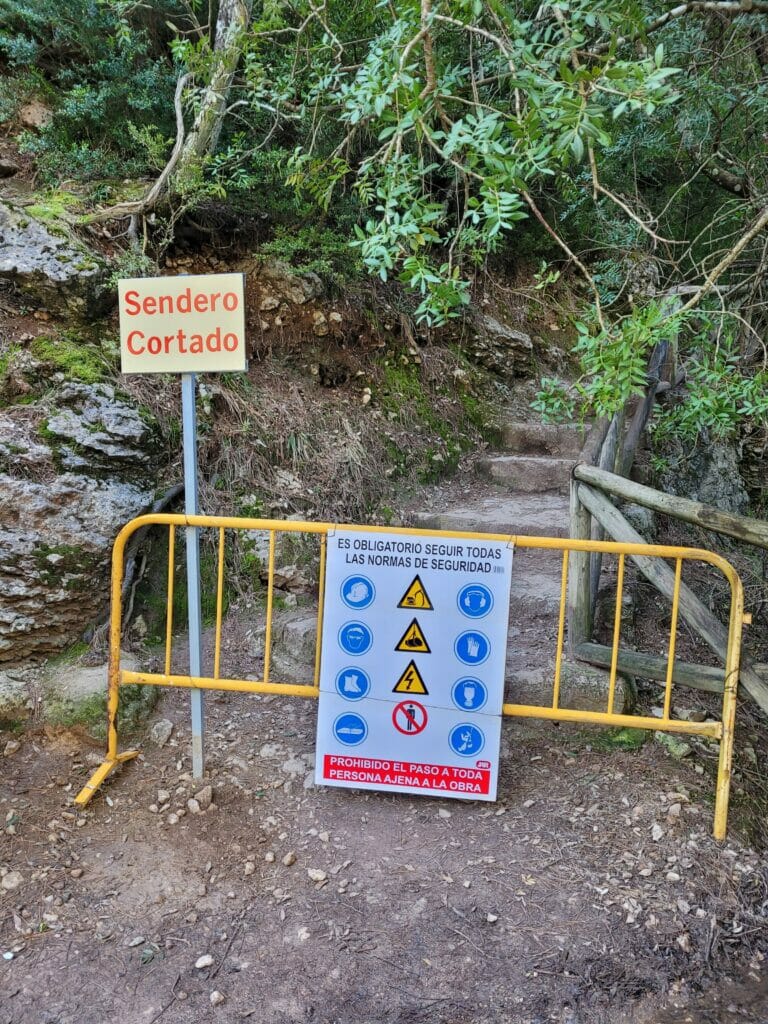
We will not be able to tell you more about these 1,3 km along the footbridges, but let’s just that the remaining 8 km which are spent on a track are not the most amazing ever (even if that does not take anything away from the beauty of the river).
Map of the Rio Borosa trail – Sierra de Cazorla and information
To start the hike you have to park in the large parking lot near the visitors’ center (2€ per day for cars/van).
Note: it is also possible to spend the night there for a camper van but the price is rather expensive in our opinion (14,5€ if we’re not mistaken and no service nor network). For our part we have just parked the time of the stroll.
If you want to do the same hike, the map will not necessarily be essential… 😉 The itinerary is really obvious: basically you follow the river in one direction, then you come back on your steps! That’s it… We will cross our fingers so that the path of the footbridges is quickly reopened to the public because at the moment the hike does not present (in our humble opinion) any particular interest except to have the merit to be accessible to a very large public and to follow a pretty river.
Around the Linarejos waterfall – 2 short walks to do
On our way back from the Rio Borosa we decided to make a little stop before coming back to Cazorla for the night. We had spotted the waterfall of Linarejos while lookgin for things to see online and we wanted to go to take a closer look at it (spoil: the “main” waterfall was almost completely dry at the time of our passage 😉 but we managed to find others).
Viewpoint and waterfalls
For our first stop we went with Dahu to the recreational area of Linarejos. You can get there by following the road that leaves the A-319 towards the village of Vadillo Castril. Pass the village and after the bridge, stay on the road that winds up. Just after the second hairpin turn, take the wide track (very well maintained) that goes to the picnic area.
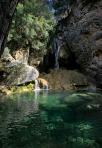
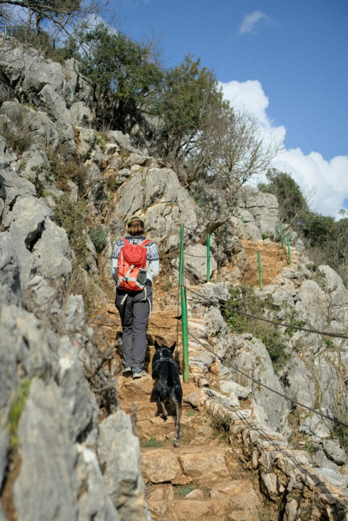
From the parking lot, follow the path that leaves under a kind of wooden arch between two walls. From there, a small path goes along the Linarejos stream. As you will see, the path is not always very well marked, but it is not really difficult to follow since you just have to follow the stream until you reach the viewpoint. There are 3 small waterfalls just before the major waterfall (and the cliff) and it is possible to reach them by following small paths. It’s not really well marked, but if you have the map on your phone it shouldn’t be a problem. And believe us, these small waterfalls are clearly worth a look! The place is not the most known/popular and we have clearly this feeling to have arrived in a small paradise!
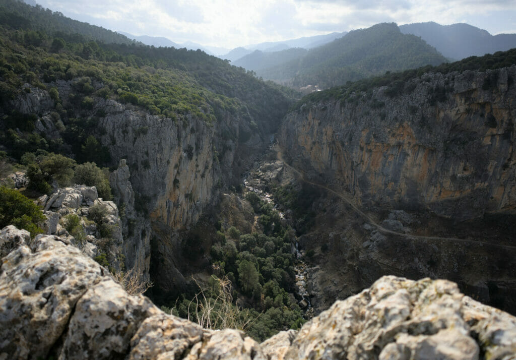
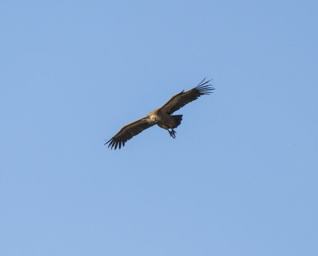
From the waterfalls you have to go up a little bit to reach the rocks that overhang the gorge and from where you have a breathtaking view and where the vultures are literally flying over your head! Underneath (on the picture below), we can see the path of the other hike that we talk about just after.
Cerrada del Uretro
For the second walk, the start is at a small restaurant near the bridge. Here, no need to worry about having a map; the path is very well marked! This official path of only 2km allows to have (in theory) a view from below the waterfall. During our visit we mainly saw a “hole” where the water is supposed to come from but nothing more (first picture below)…
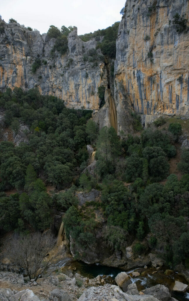
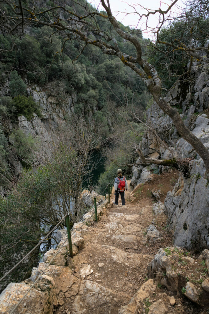
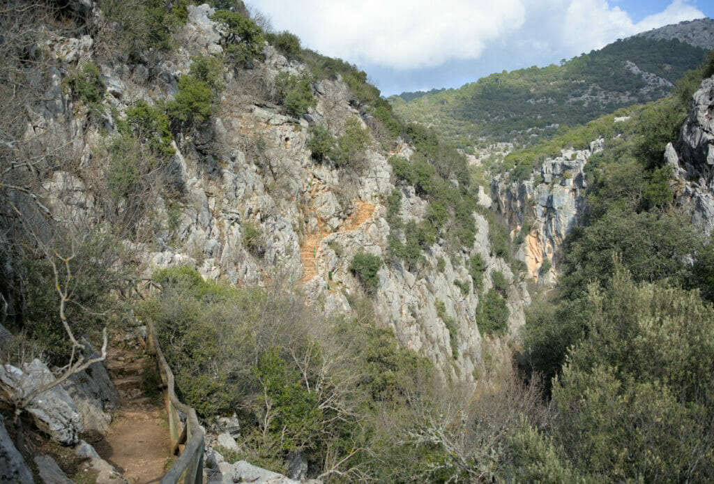
After, that does not take anything away from the charm of the stroll and we still benefited from the various points of view on the gorge and the small water reservoir upstream of a dam. A nice and easy walk which is done in 30-45 minutes (ideal to digest if we went to eat something in the small restaurant which is at the stard) 😉
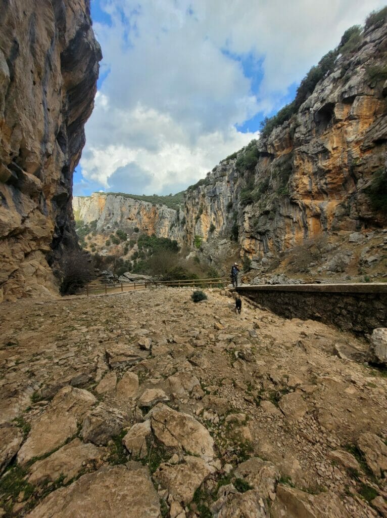
Information and map for the walks
These two walks are quite short and do not present any particular difficulty. Not particularly inclined to walk along the dirt road we decided to take the van between the 2 walks, but as you can see on the map below it is quite possible to combine the two hikes by following the track that goes to the recreation area and by following the path in the forest that cuts the 2 laces of the road.
Map of things to see and do in the Sierra de Cazorla
To finish this article we thought we would show you on a map the different places we talked about so that you can visualize them better. All the blue and white dots are the ones described in the article. The 3 beige dots are places that we would have liked to explore if we had more time (we had an appointment with some friends around Toledo and we cut our road-trip short! A good reason to come back to the area).
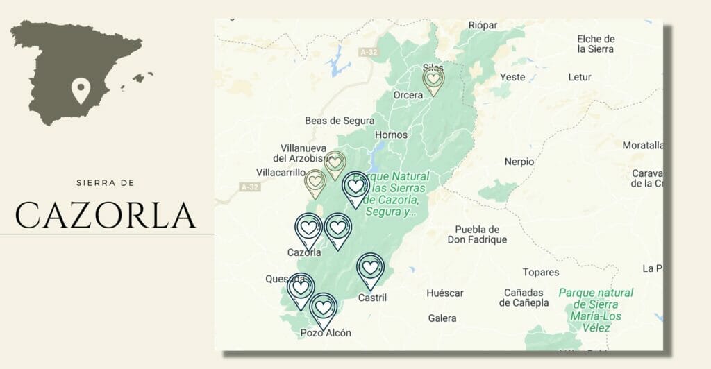
If you are interested in the beige dots, we put below the Wikiloc links of the hikes we had planned to do. If you do them, you can tell us how it was… 😉
That’s it for today! We hope that with all this information you will have plenty of ideas to go hiking in the Sierra de Cazorla.
This post marks the end of our 2 months roadtrip in Andalusia but we’ll see you soon for the detailed roadtrip review (personal and financial) and to tell you more about the region of Toledo as well as another natural park discovered on the way to Galicia which left us speechless! See you soon 🙂
Pin it
Note : This article contains affiliate links. By booking a car or an accommodation through our links you don’t pay anything extra but we will get a small commission. This helps us to continue to provide you with independent and ad-free content. Thank you for your support

Join the discussion