That’s it! Spain and especially Galicia have slightly lifted the restrictions (yeah the 1st time we travelled in Galicia was during Covid). 🙂 This means we took the opportunity to briefly leave the Anceu Coliving, where we’ve now been living for the 2 months, and left for 4 days of road trip along the coast in Galicia, north of the city of Pontevedra. And the least we can say is that we had a lot of fun. In this article we have concocted a small selection of our favorites to do in the area
- Itinerary of our road trip in Galicia (part north of Pontevedra)
- The island of Arousa: a small wild paradise
- Catoira: Abalo’s windmills hike
- Caldas de Reis: The Segade waterfall and the natural park of Rio Barosa
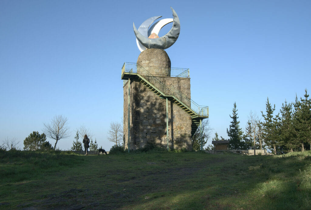
- The Mirador Lobeira and the Faro das Luas viewpoint
- The “Ruta de la Piedra y del Agua” hike to the Monastery of Armenteira
- The San Sadurniño tower in Cambados
- O Grove Peninsula
- Practical information to prepare your road trip in Galicia
Itinerary of our road trip in Galicia (part north of Pontevedra)
We learned last Tuesday that as of Friday we would (finally) have the right to leave our municipality (Youpiiiiii!!!!). After that, the restrictions are not yet completely lifted and we are currently still “limited” to the regions of Pontevedra and O Salnes. But let’s be honest, after more than a month in one and the same municipality, we are already very happy with this change of perimeter!
For this first small road trip we decided to go to the “northern” part of Pontevedra and O Salnes. In order to make it easier for you to find your way, we have put the different places we visited on the map below:
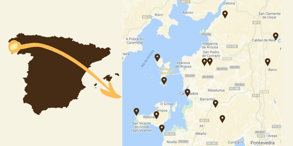
In this article we have chosen to tell you about the different places in the order in which we visited them. As you will see, geographically speaking, it was not necessarily the most “logical” (we did some zig-zags). The distances being relatively short we preferred to adapt our itinerary so that we always ended the day in a nice place for the sunset 😉
- Find our article on the hikes to do in the surroundings of Pontevedra (in the countryside) here.
- And if you want to find out more about the south on Pontevedra, you can read about our road trip between the Rias of Vigo and Pontevedra
- And if you are more interested in canyons and wine, have a look at our road trip in the Ribeira Sacra
- If you want to visit the northern part of Galicia, we also did a roadtrip on the Costa da Morte and along the Rias Altas
The island of Arousa: a small wild paradise
We left Anceu around 9 am, it must have been 10 am when we arrived on the small island of Arousa. Contrary to many other islands of the Galician coast, here there is no need to take the boat to get there. A huge bridge connects this piece of land to the mainland, which makes its access much easier.
To begin our visit we had spotted the national park which is in the south of the island and so we started by parking at the place where the road stops.
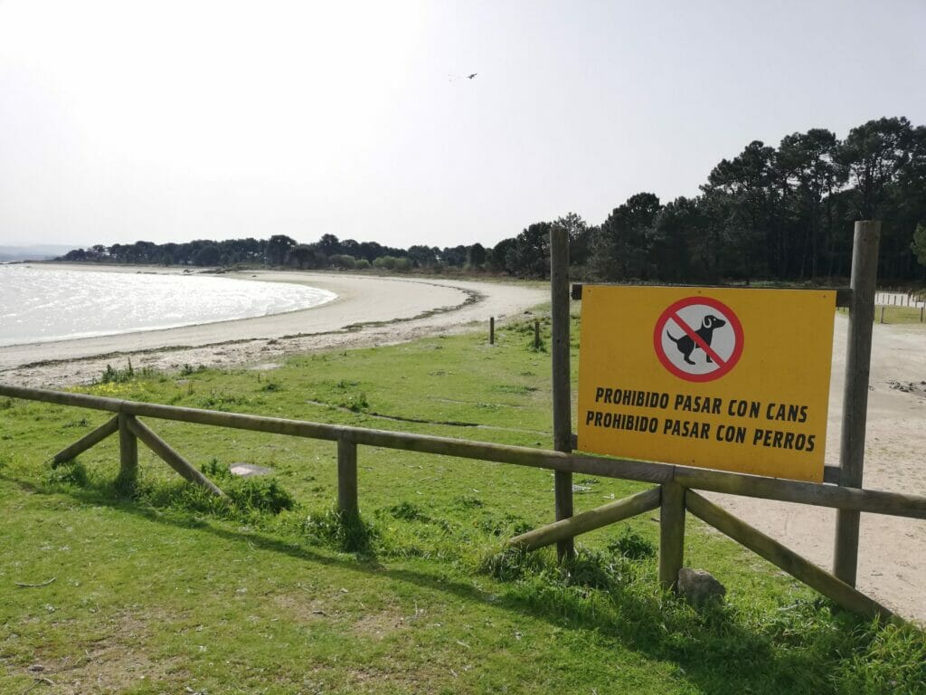
This first stop will have been the occasion for us to experience our first small fail of “new pet owners”… When we arrived at the parking lot a huge sign immediately caught our attention (I mean… the local authorities really wanted to make sure people don’t enter with their dogs. It would be hard to say ont didn’t see the info 😉 ) In fact, the reason of this ban is finally quite logical… Being a national park, dogs are simply banned there to protect the birds nesting there. Anyway, determined to go there anyway, we started with a walk along the coast back to the bridge (where dogs are allowed) so that Winchy could stretch his legs and then we put him in the van.
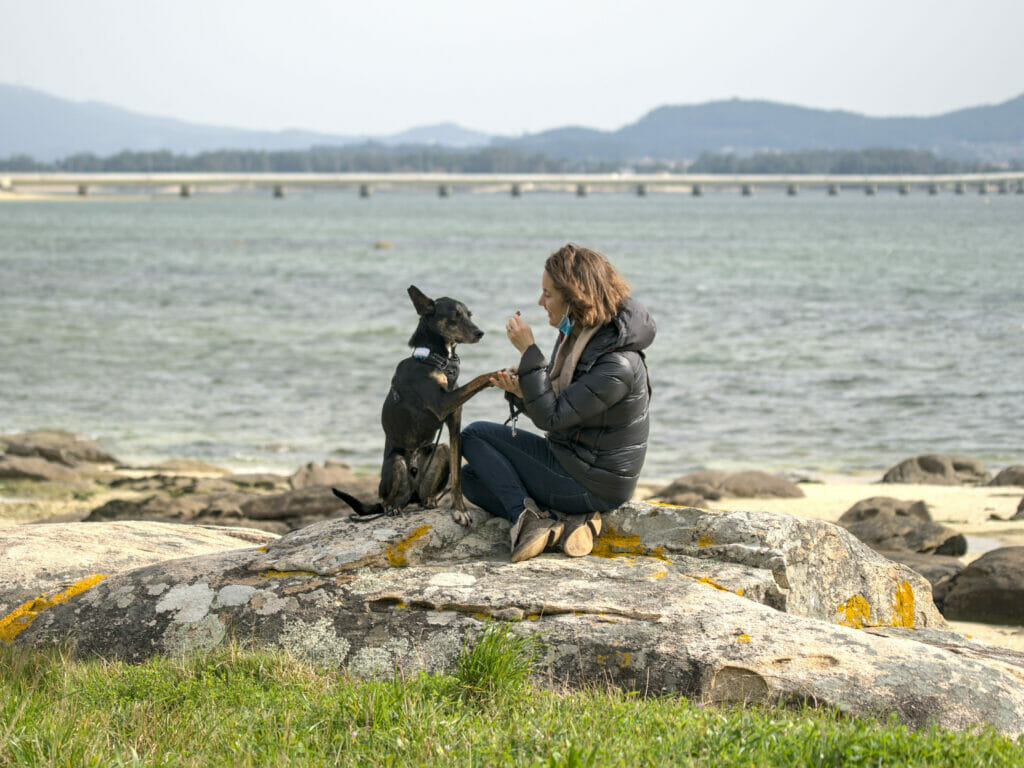
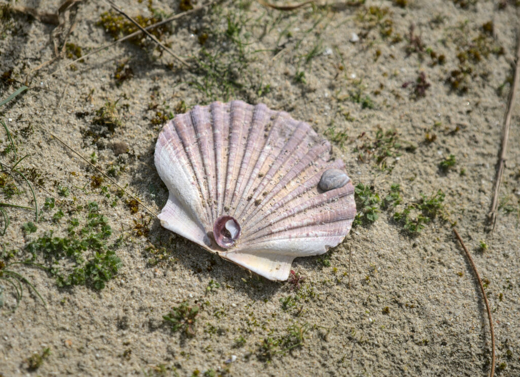
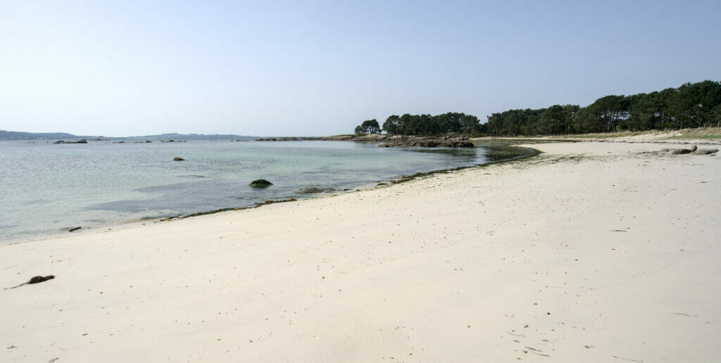
Hiking in Carreiron National Park
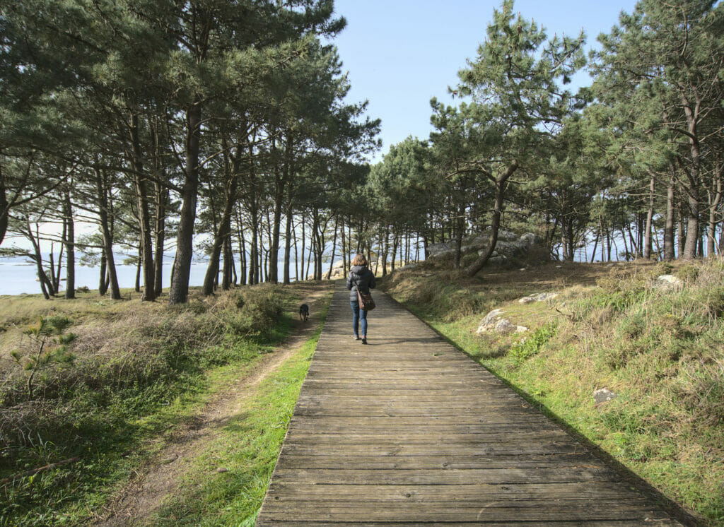
Once Winchy was sleeping in the van, we left for a loop around the national park. There are dozens of different trails that intermingle and go to different beaches. You will see it on the map below, but we tried to “go around”. At some moments we came across some impassable bits of trails because of the rain that fell recently (or rather muddy fields I should say), but you get the idea ;).
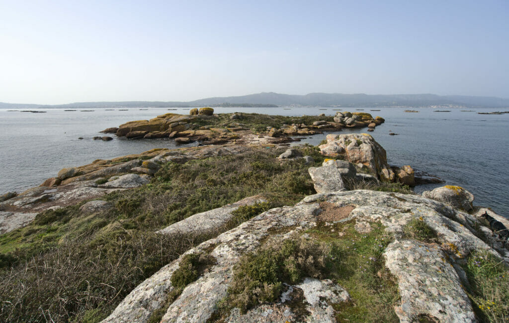
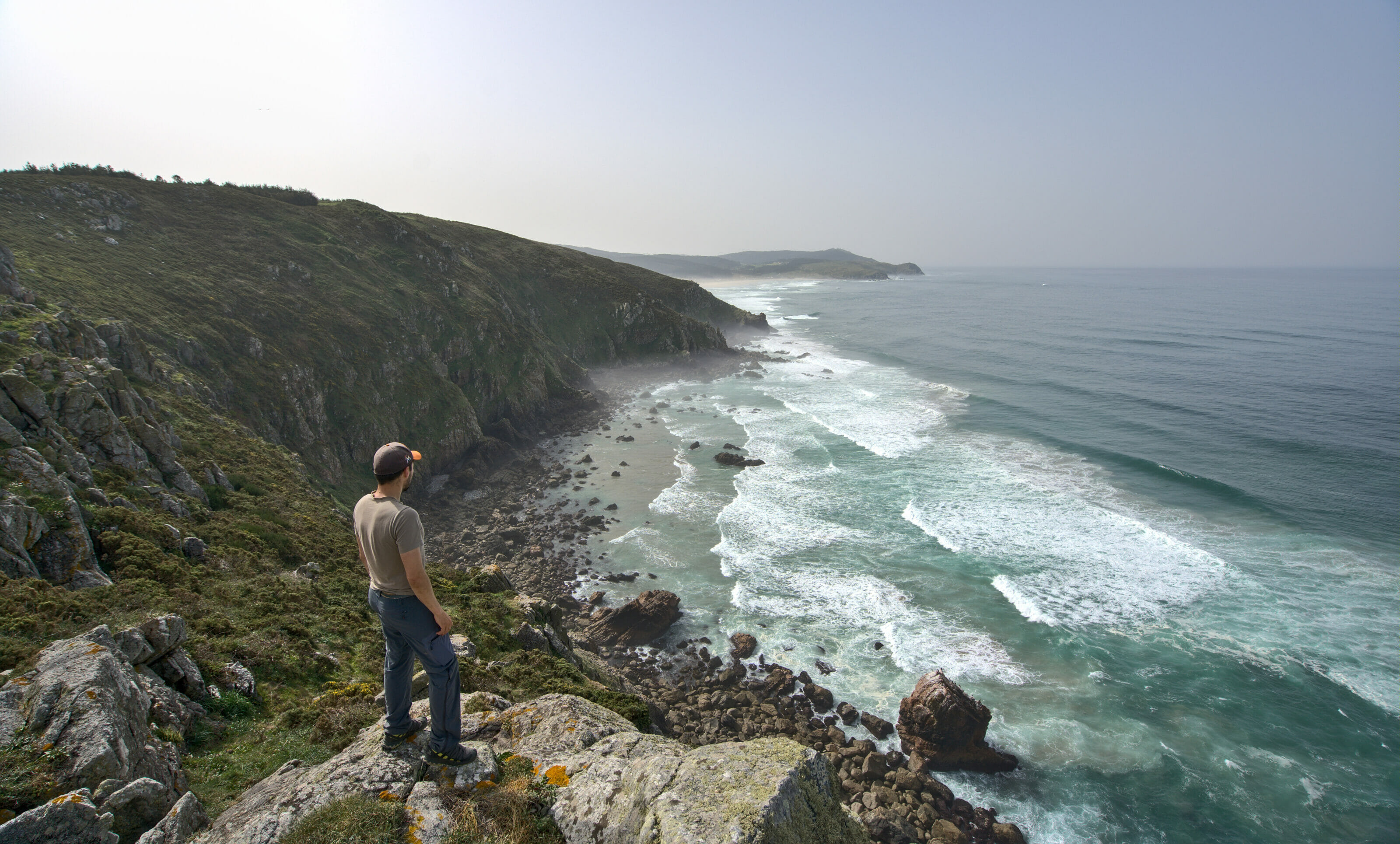
We really enjoyed this little loop which reminded us a little bit of Brittany and more particularly the pink granite coast region. The rocks, the vegetation, and a je ne sais quoi in the air that made us think of this little piece of France that we love so much.
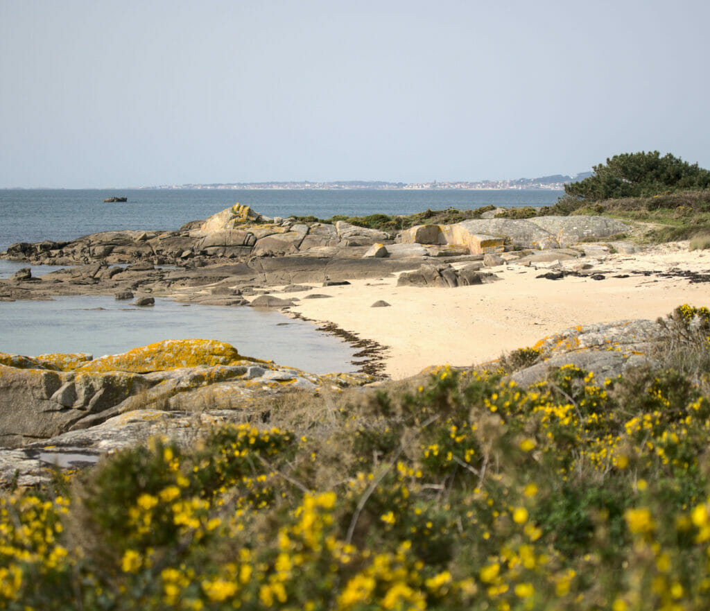
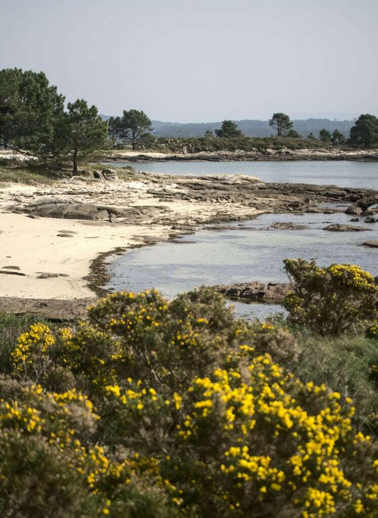
In all, our hike south of the island of Arousa was about 8.5km (3km round trip along the coast with Winchy and 5km in the national park).
Hiking map:
The northern tip of the island of Arousa
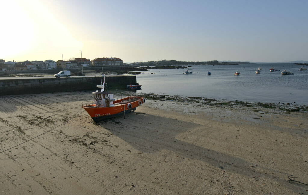
After the south of the island we made a quick detour through the “city center” of the island. I deliberately put quotation marks because although the island is inhabited all year round, I wouldn’t go as far as to say that there is really a city here. All in all there are about 5000 inhabitants spread over the island with a slightly higher concentration around the cute little fishing port.
The time of the sunset was approaching and we set off for the most western point possible in search of a nice sunset spot. That’s how we arrived at the Punta de Barbafeita and the beach of the Secada. This area is very nice for a small walk and normally, it is even possible to eat or drink something in the restaurant which is located in an old lighthouse (unfortunately closed during our visit).
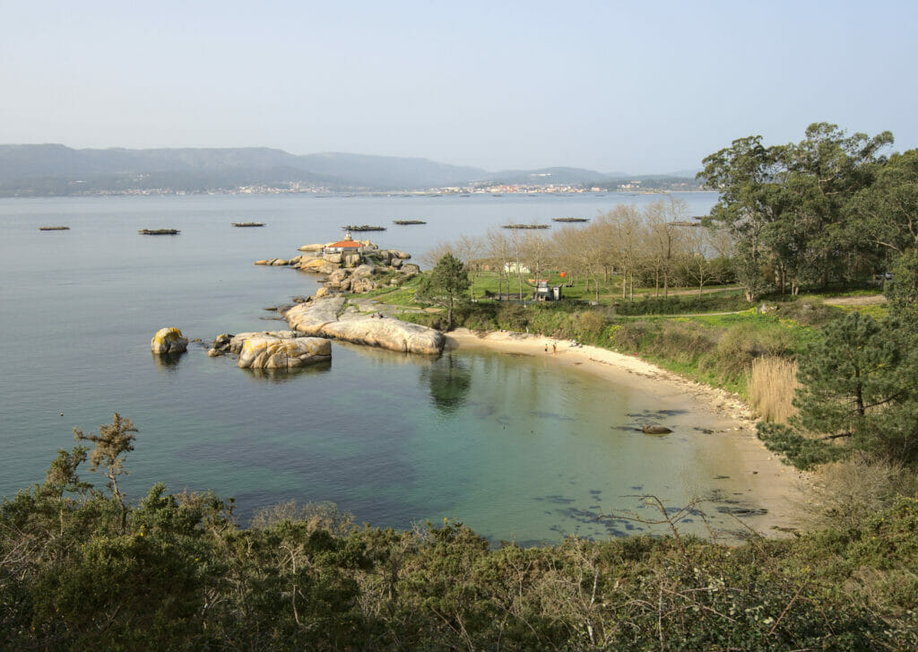
Along the Galician coasts and especially in Arousa we note the presence (very marked) of these kind of rafts. We had guessed that they were crops, but were not too sure why and how.
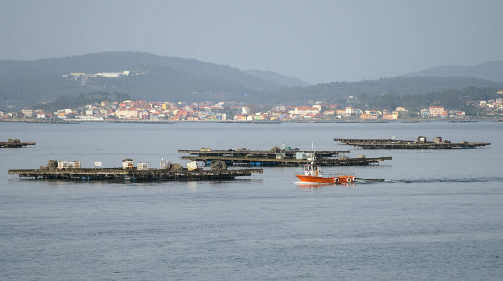
In fact, these platforms are called Bateas. They are structures made of Eucalyptus wood on which the famous Galician mussels are bred. This system keeps the mussels immersed independently of the tides and ensures a good yield. There are more than 3000 “bateas” in Galicia and this makes it one of the main mussel producing regions in the world. The number of Bateas is fixed, and these platforms are now selling at a golden price! We have been told that their price can reach 1 million euros (for a few floating m2 this sounds expensive). As we didn’t plan to buy a raft, we didn’t especially try to verify this info 😉
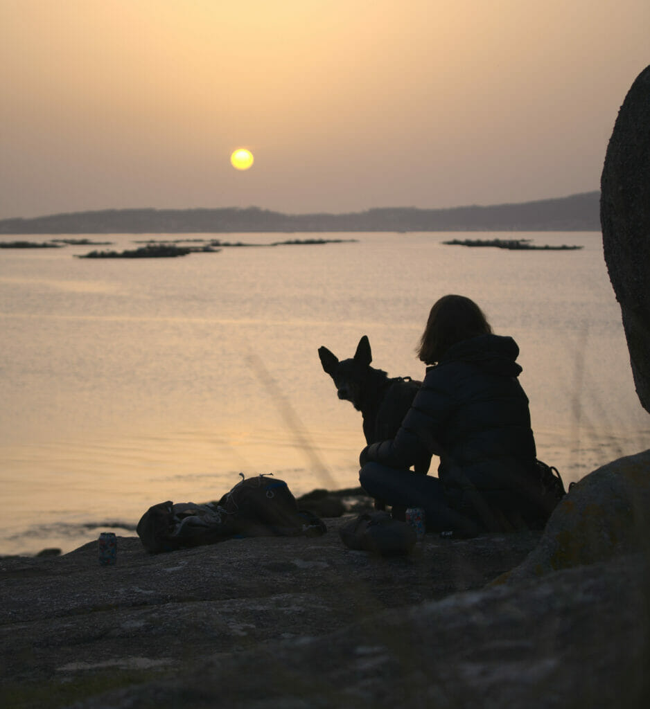
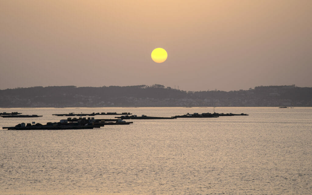
Oh and our instinct to aim for the western tip of the island for the sunset will have paid off 😉
Catoira: Abalo’s windmills hike
After a good night on the island of Arousa we took the road again in the direction of the region of Catoira. We had spotted that there were old windmills here and we wanted to come and see them more closely. In fact, in Galicia the windmills are quite a thing. During our walks inland we have already seen countless old (water) mills along the rivers, but windmills are rarer.
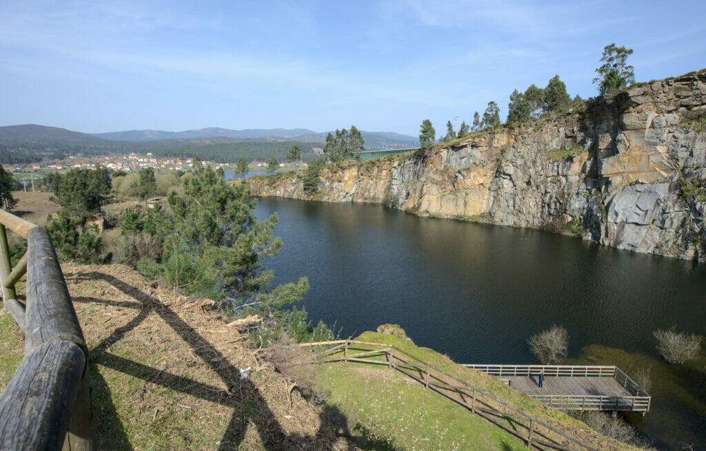
To begin the walk we started by going to the laguna de Pedras Miudas, a small lake which seems artificial but very pretty. In fact it is strange because the place seems to have been the place of a big “tourist” development project but which would have been abandoned along the way. The lake is surrounded by a nice path with brand new wooden pontoons and lots of picnic tables. A building under construction looks very much like a refreshment bar project, but everything seems to have “stopped”. We can’t tell you if this construction site is temporary stopped because of the sanitary situation or if it will remain “as is”. But either way it’s a great place to start the walk!
The hike begins by going up on the left side of the lake to arrive just above the railroad tracks. It is here that the first mills are located and there is also a beautiful view of the railway bridge that crosses the Rio Ulla.
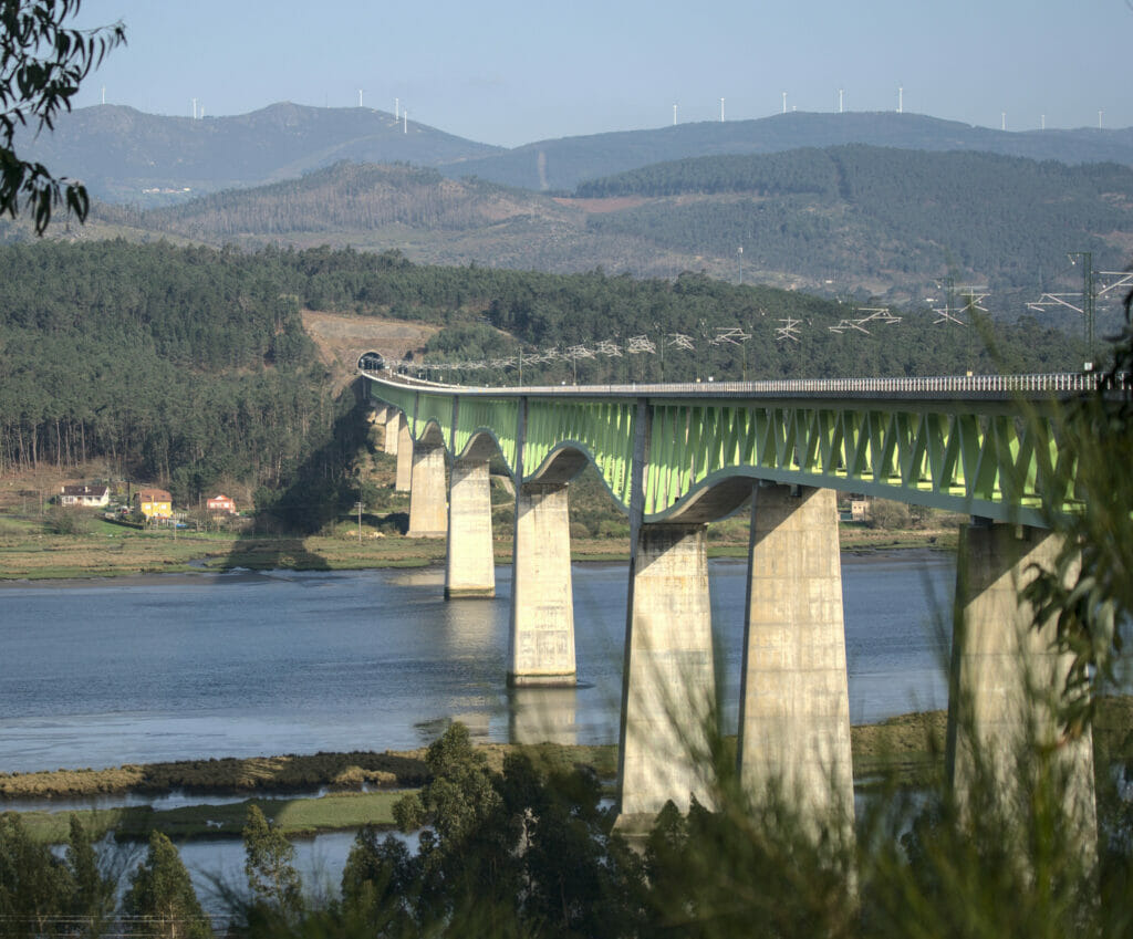
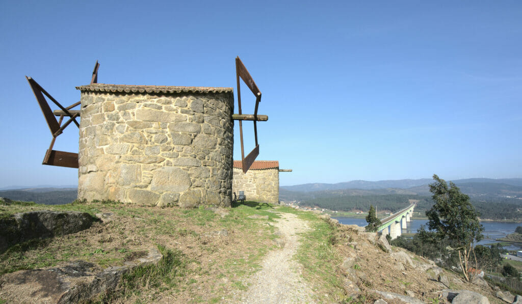
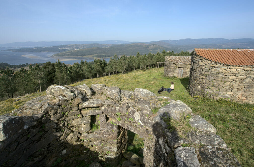
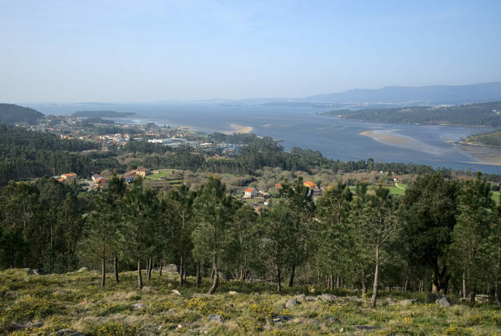
From the mills that are above the small lake we opted for a loop with the idea of arriving at the mills of Abalo. The walk alternates between wide paths and forest tracks/roads on which there is no real traffic. Just before reaching the small hamlet of Abalo we made a last detour to go up towards the mills of Abalo. Built at the end of the XIXth century these mills had the particularity of having 2 “wings” (the things that turn 😉 ). So even if we don’t doubt the historical interest of the place, we will confess that there is not much left of the mills except the walls (the wings have been removed). Nevertheless the spot is very nice for the view on the estuary of Arousa.
The map of our hike to the windmills:
Caldas de Reis: The Segade waterfall and the natural park of Rio Barosa
If you’ve been reading us for some time you will have surely already noticed Benoit’s rather certain love for waterfalls (and mountain tops). Since the Pontevedra region is not especially known for its high mountains, Benoit created a list of waterfalls he wanted to see. And the least we can say is that in Galicia there is plenty of choice!
When we left Catoira we had 2 which were more or less on our way. The first one is the Segade waterfall, just next to the small town of Caldas de Reis. This first stop was a “simple photo stop”, understand that we did not make a hike.
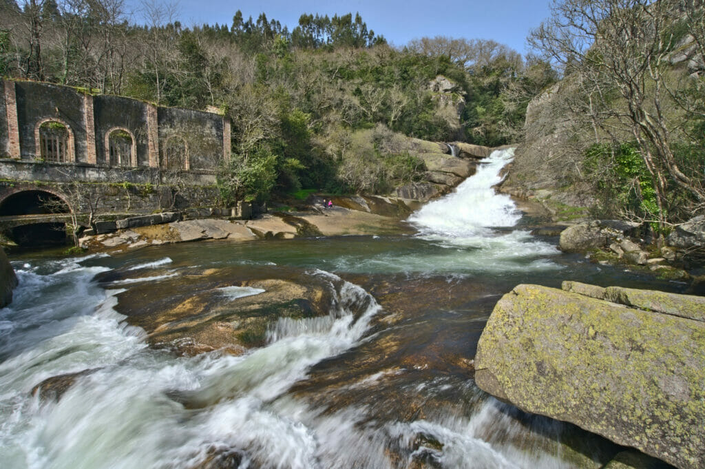
If we just made a “photo stop” it was mostly to save some strength for the next waterfall (let’s not forget that we had just done the hike to Catoira in the morning 😉 )
Only 10 small minutes of drive separate the Segade waterfall from the natural park of Rio Barosa, meaning that it is super easy to combine these 2 waterfalls!
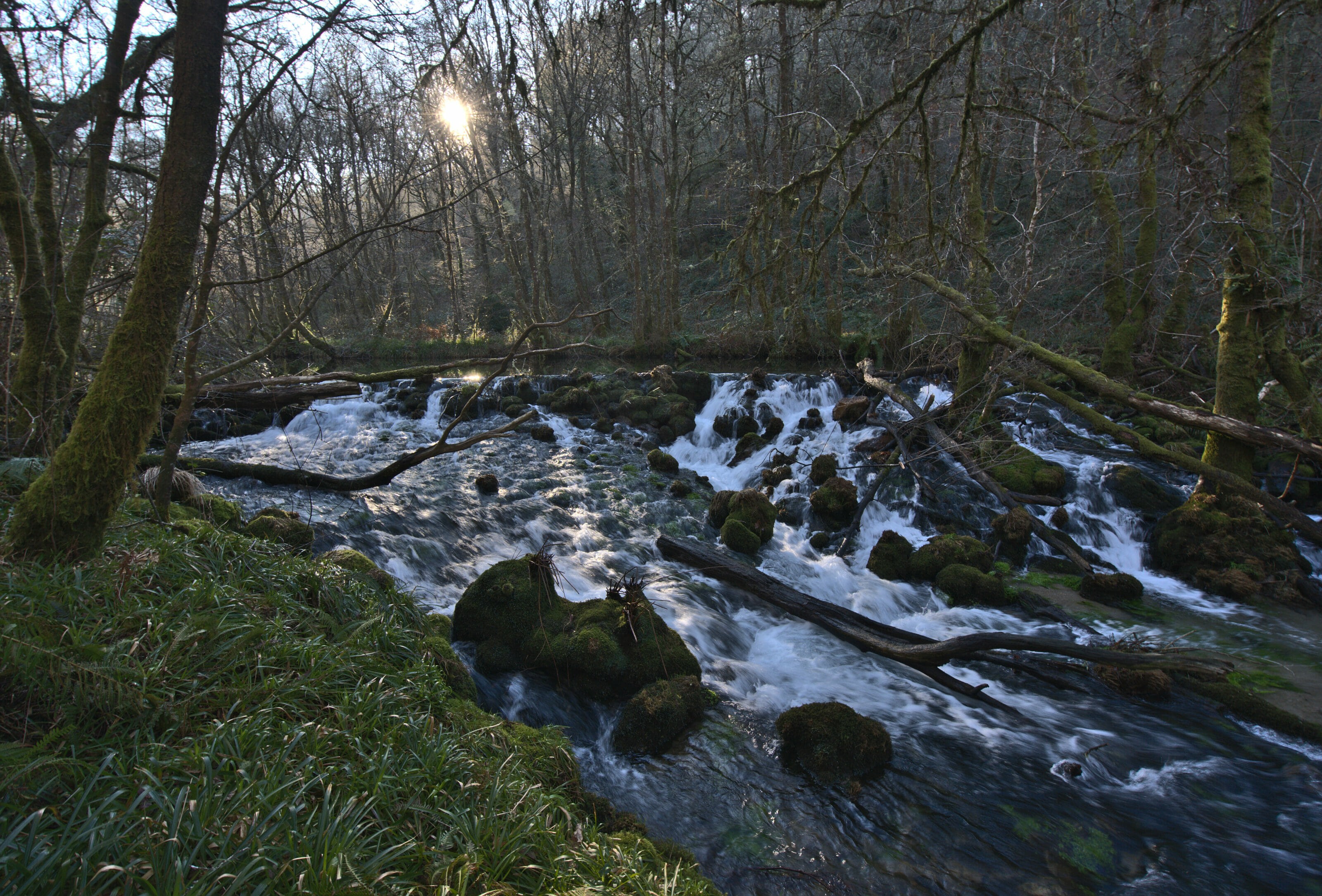
When we arrived at the parking lot of Rio Barosa Park we quickly saw that this place was a little bit more popular than the previous one 😉 But we also quickly understand why!
At the entrance of the park there is a small refreshment bar which lies directly next to the largest of the waterfalls. Dozens of picnic tables are available for hikers and several hiking trails start here.
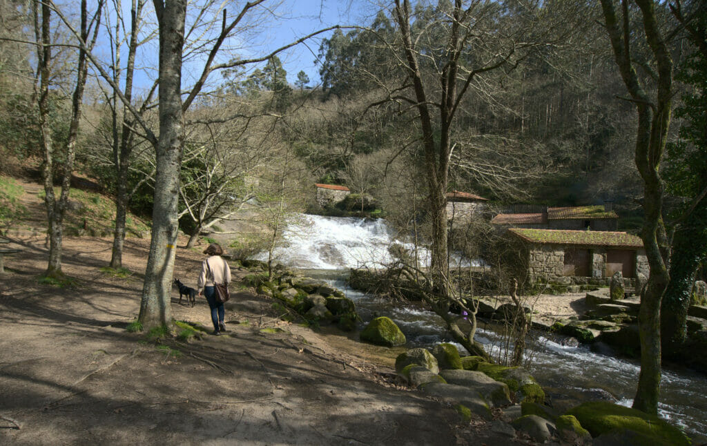
For our little walk we opted for a loop that goes up the left side of the waterfall (quite steep in places) and then continues flat along the river. A second restaurant is a little further and it is, in theory, possible to turn back here by crossing the bridge and coming back on the other bank. We opted for a slight detour and continued to the next bridge.
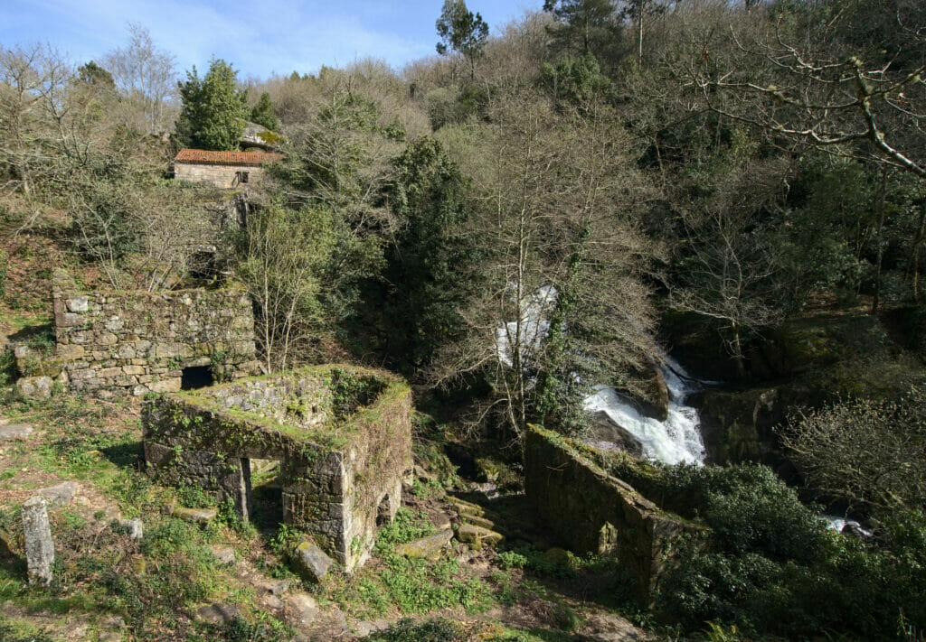
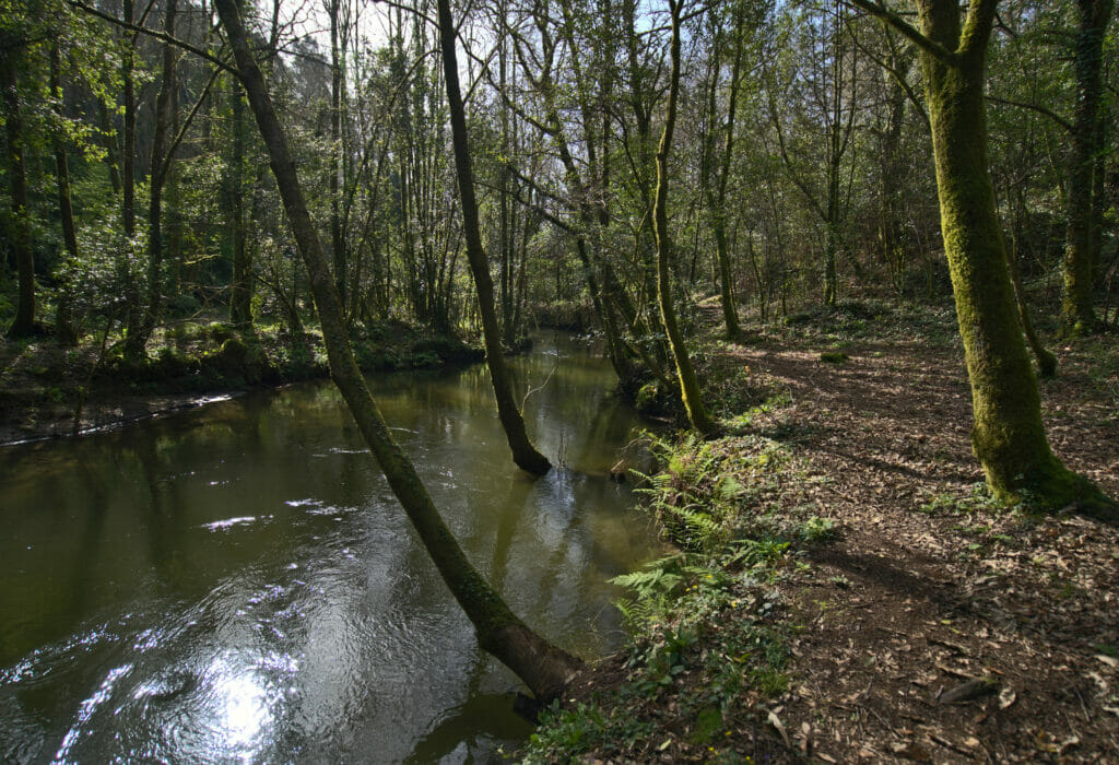
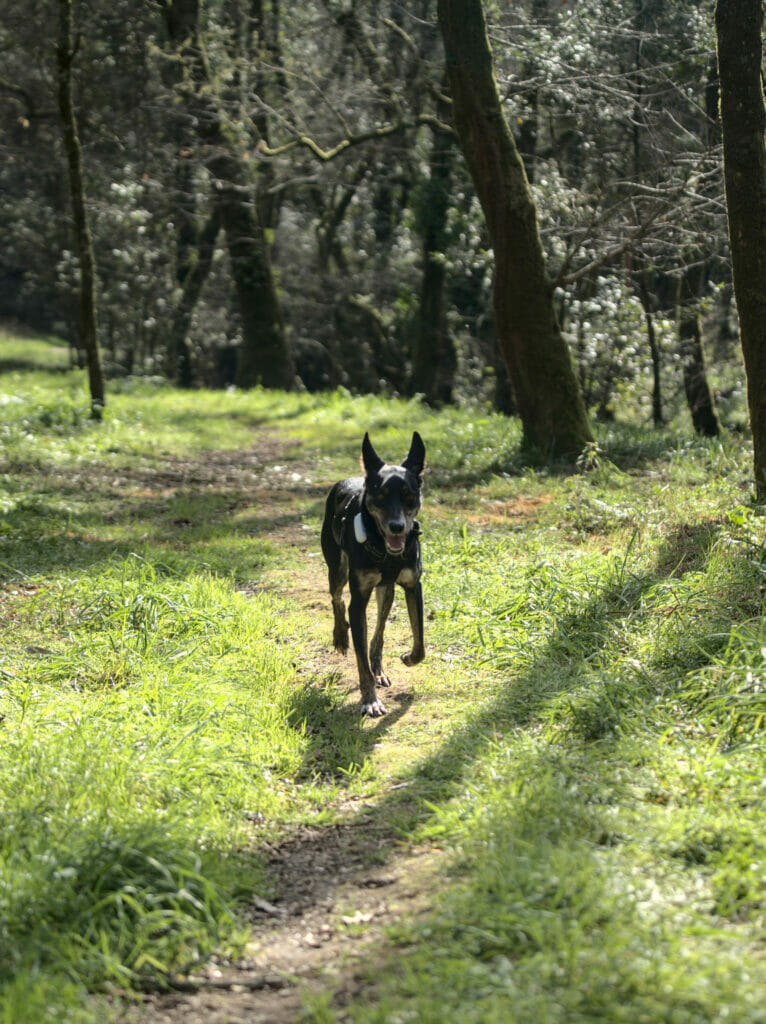
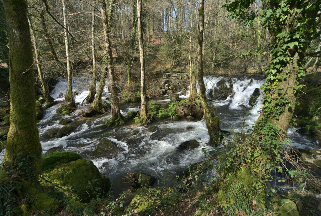
For the return we simply followed the small path that goes back along the other bank. The whole loop is just over 3km long, but it is clearly a walk that’s well worth it.
Map of our small hike:
The Mirador Lobeira and the Faro das Luas viewpoint
After all these walks it was beginning to be time to think about where to spend the night. We had spotted on Park4Night a viewpoint which seemed promising: the Lobeira mirador.
This mirador is not very high in altitude (only 289m) but as it is just off the coast and relatively isolated, it offers a breathtaking view.
Clearly, we weren’t the only ones who had the idea to go up there for the sunset; the parking lot was full to overflowing! Fortunately the summit is quite big and there are plenty of rocks a little bit back where you can settle down to enjoy the view while feeling like you’re alone in the world. A perfect place to finish the day if you ask me…
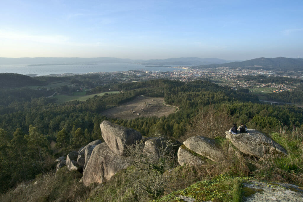
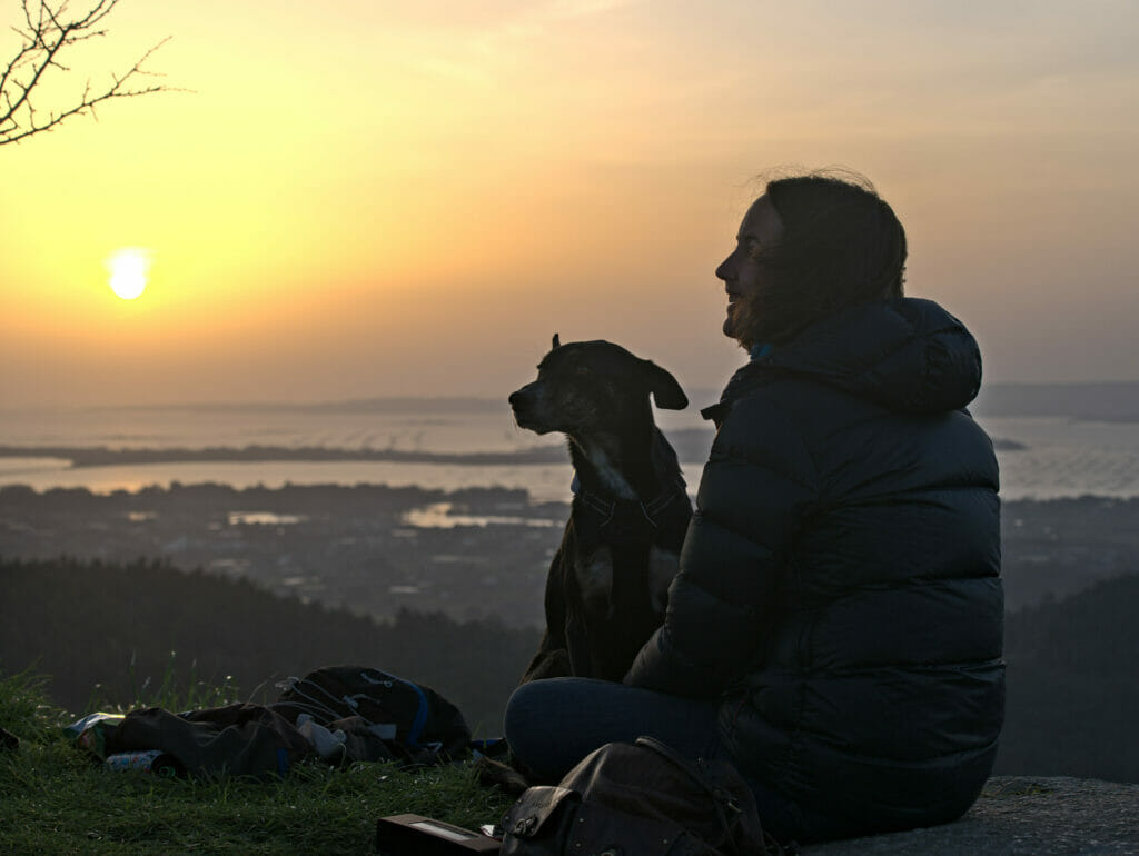
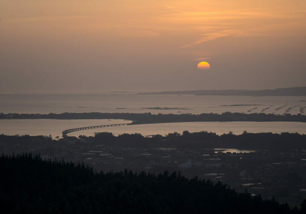

Once the sun went down, all the cars left and we enjoyed a quiet night at the mirador. And there’s no need to say, being able to sleep in spots like this is really the ultimate luxury! In the morning, we had a front row seat to watch the sunrise before the arrival of the first hikers.
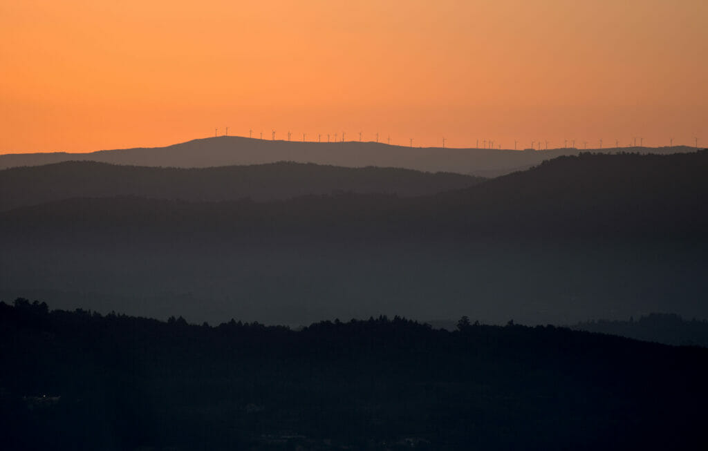
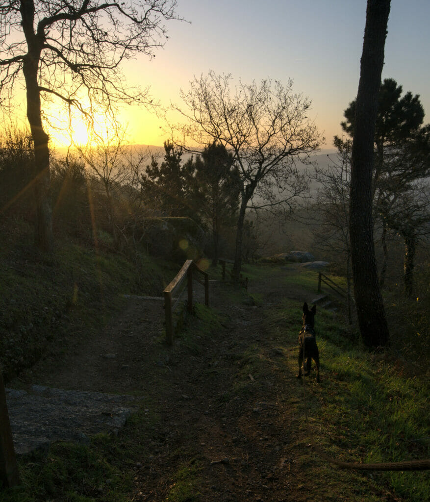
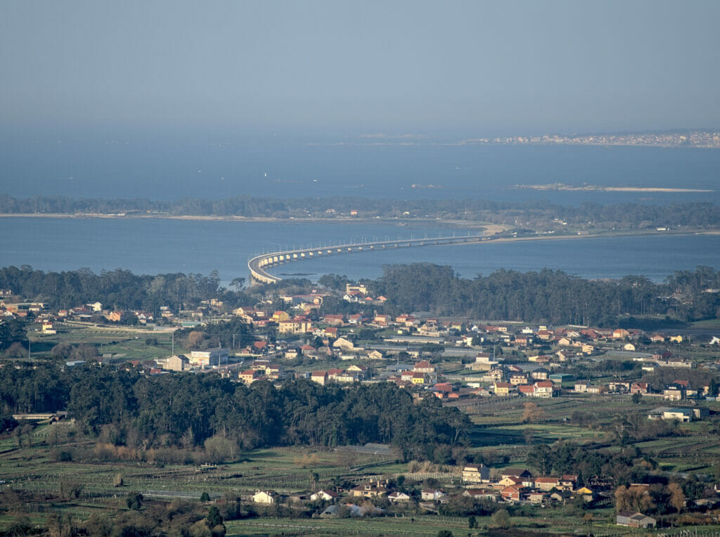
After sunrise we took advantage of the morning walk with Winchy to go and have a look at the Faro das Luas viewpoint. Located at only 1km from the one of Lobeira, it has the particularity of being a little “lower” but even closer to the coast. The view on the bridge leading to Arousa is more impressive I think. In spite of that, we are happy to have been at the first one for the sunset, but let’s say that if you are in the area this one is also worth to be seen.
The “Ruta de la Piedra y del Agua” hike to the Monastery of Armenteira
In Galicia hiking is really not what we could call the national sport… we have often had problems with “official” paths that were not maintained at all. So, when we read that the Ruta de la Piedra y del Agua was THE hike to do in the region we left a little more serene about the state of the path. 🙂
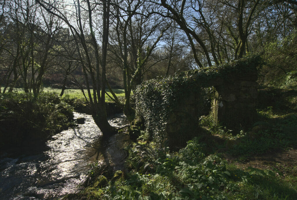
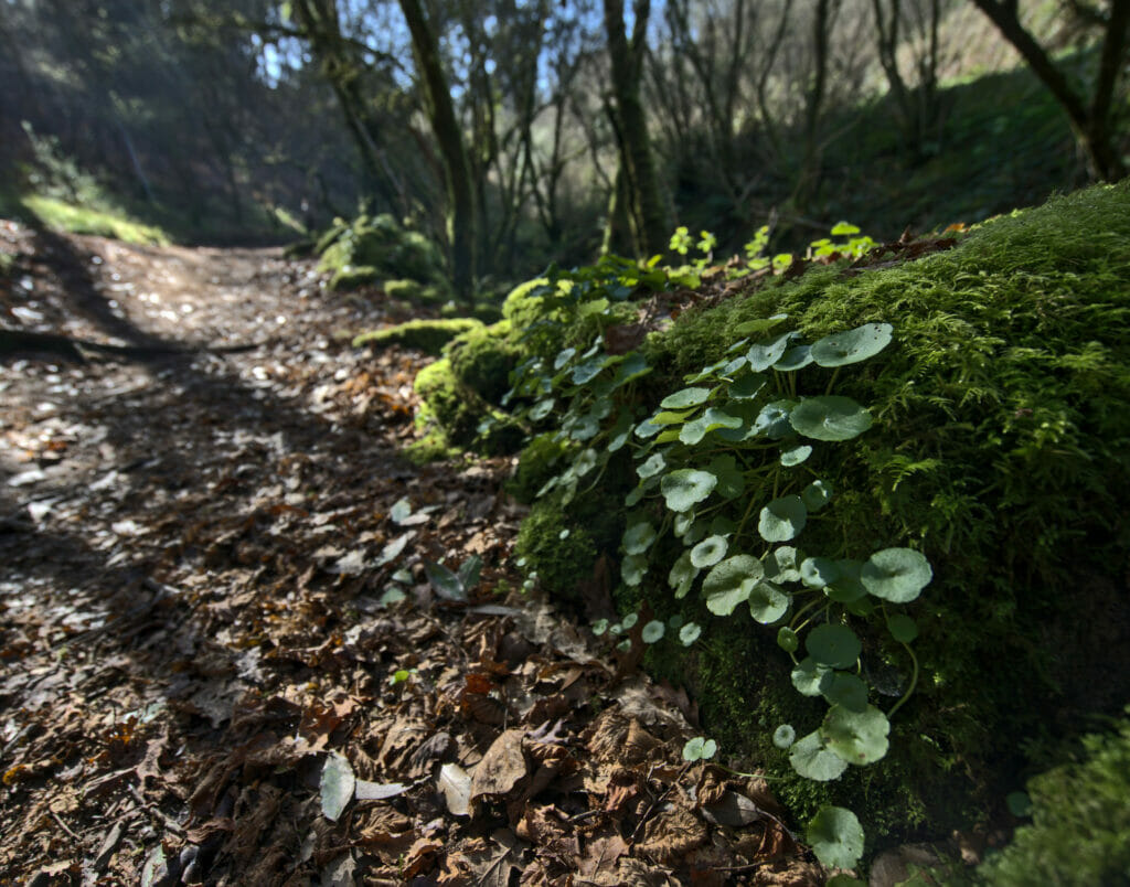
And clearly, there is no comparison! This route is on the one hand extremely well marked and above all perfectly maintained.
If it is so well known it is on the one hand because it runs all along the Rio Armenteira passing by dozens of old mills (more or less restored) an because it leads to a superb monastery. But the other reason is more absurd… In fact this itinerary really became famous when Mariano Rajoy, the former president of the government of Spain from 2011 to 2018 came to spend vacations in the region (his home region) and he hiked this route every morning.
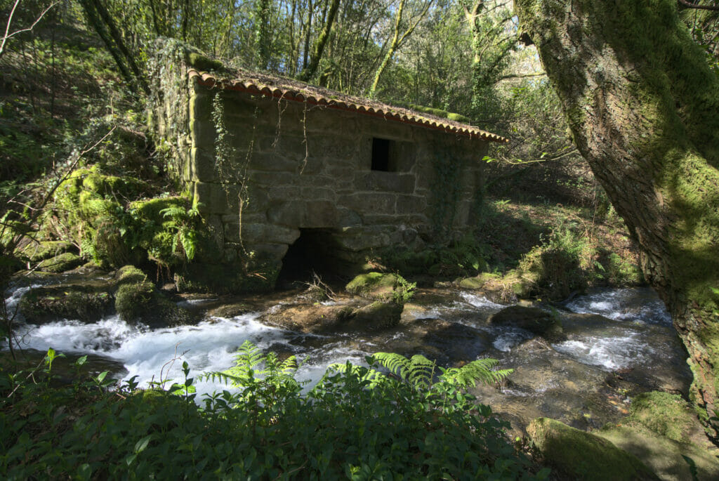
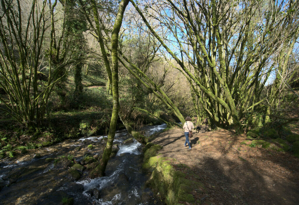
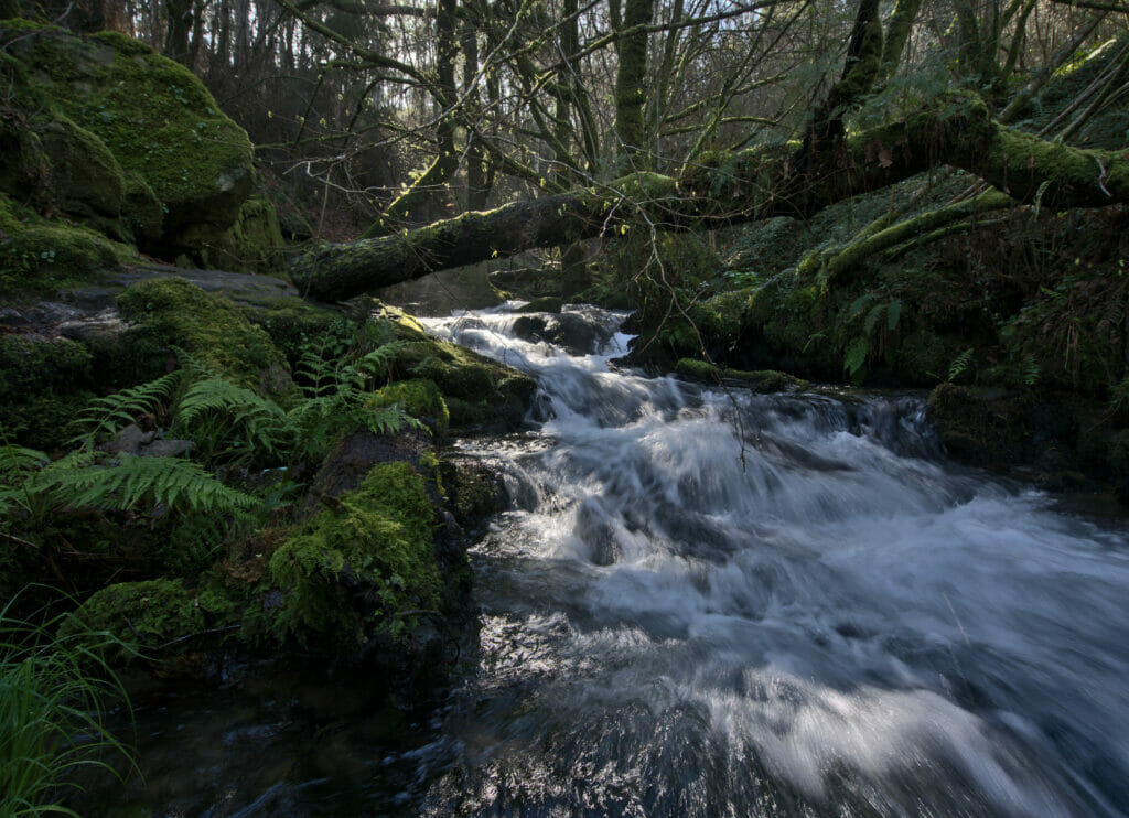
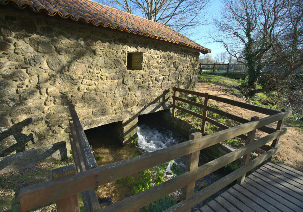
We don’t really know the political views of this dear man, but we will confess that he has VERY good taste when it comes to hiking! 🙂 This itinerary is without a doubt one of our favorites to date in Galicia!
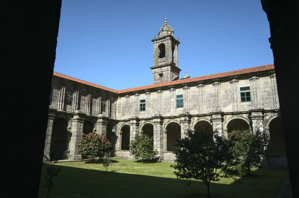
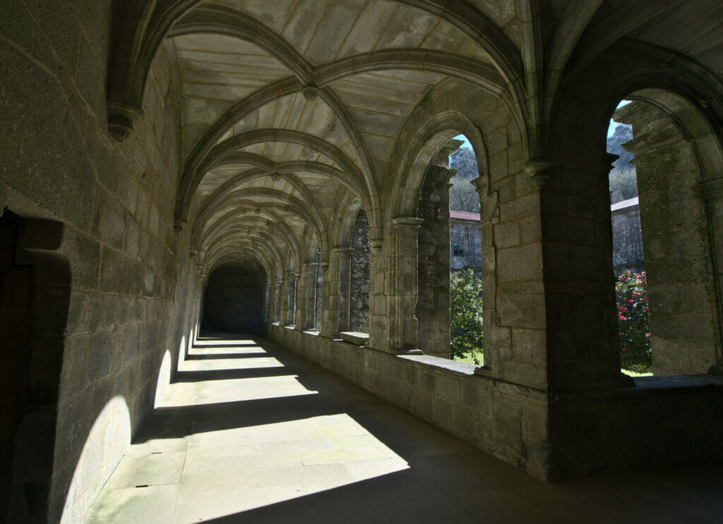
In all the hike is about 14km long and it takes between 4h and 5h to make the round trip. If you want to shorten the hike a little bit it is possible to start at the level of the km 1,7 (at the moment the trail passes under the highway). At this point there are also parking places and so the hike is “only” 10km long. Note: This hike seems to be very appreciated by the locals, so it is better to come during the week rather than on the weekend.
Hiking Map:
The San Sadurniño tower in Cambados
At the end of our walk we decided to leave in direction of the peninsula of O Grove to spend the night there. But before that, we opted for what we will call a small “photo stop”. We had spotted a picture of this tower online and we wanted to go to see it more closely.
But no hiking this time! We went to the small parking lot at the Ruà Ribeira de Mouta and just walked the hundred meters along the promenade to reach the tower. By the way, you will notice on the pictures that there was one who didn’t want to leave the van… Winchy was knocked out by the morning hike and didn’t want to leave his bed 😉
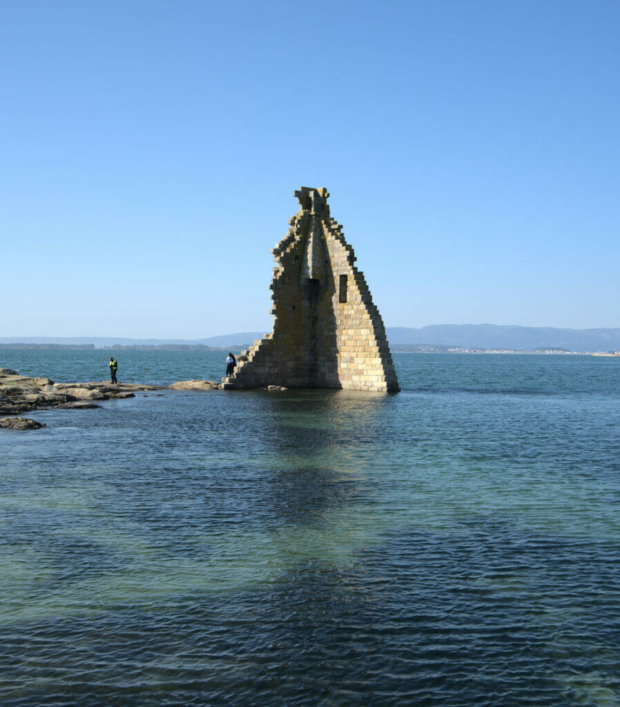
The tower of San Sadurniño is a building that is said to date from the 8th or 9th century (apparently the foundation could date from before, but historians do not seem to agree on this). Originally this tower was used as a base to protect the coast and was a strategic point to announce the attacks coming from the sea on the city of Santiago. It was destroyed and rebuilt several times during its history, but an earthquake in 1755 finally ended this “rebuilding” process. Nowadays it is not really a tower anymore, but rather 2 walls forming a very original construction 😉
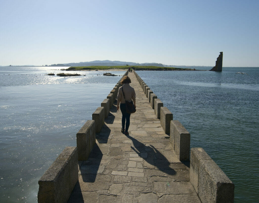
Nevertheless, it remains a very photogenic place with this long stone bridge leading to it.
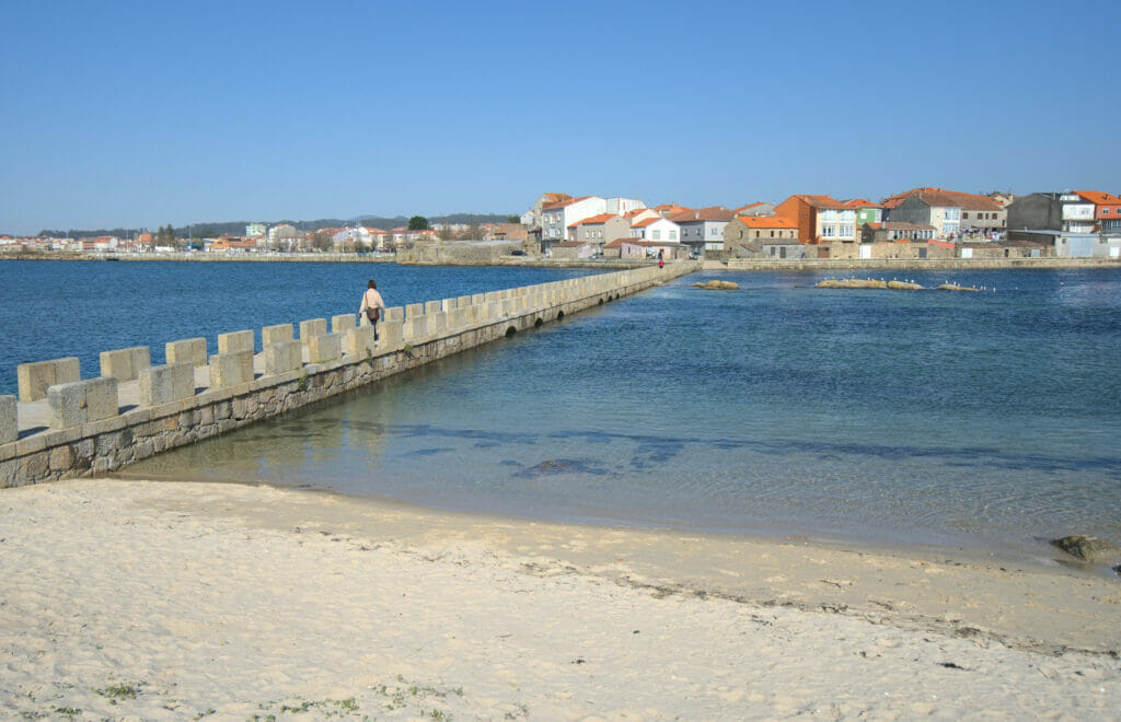
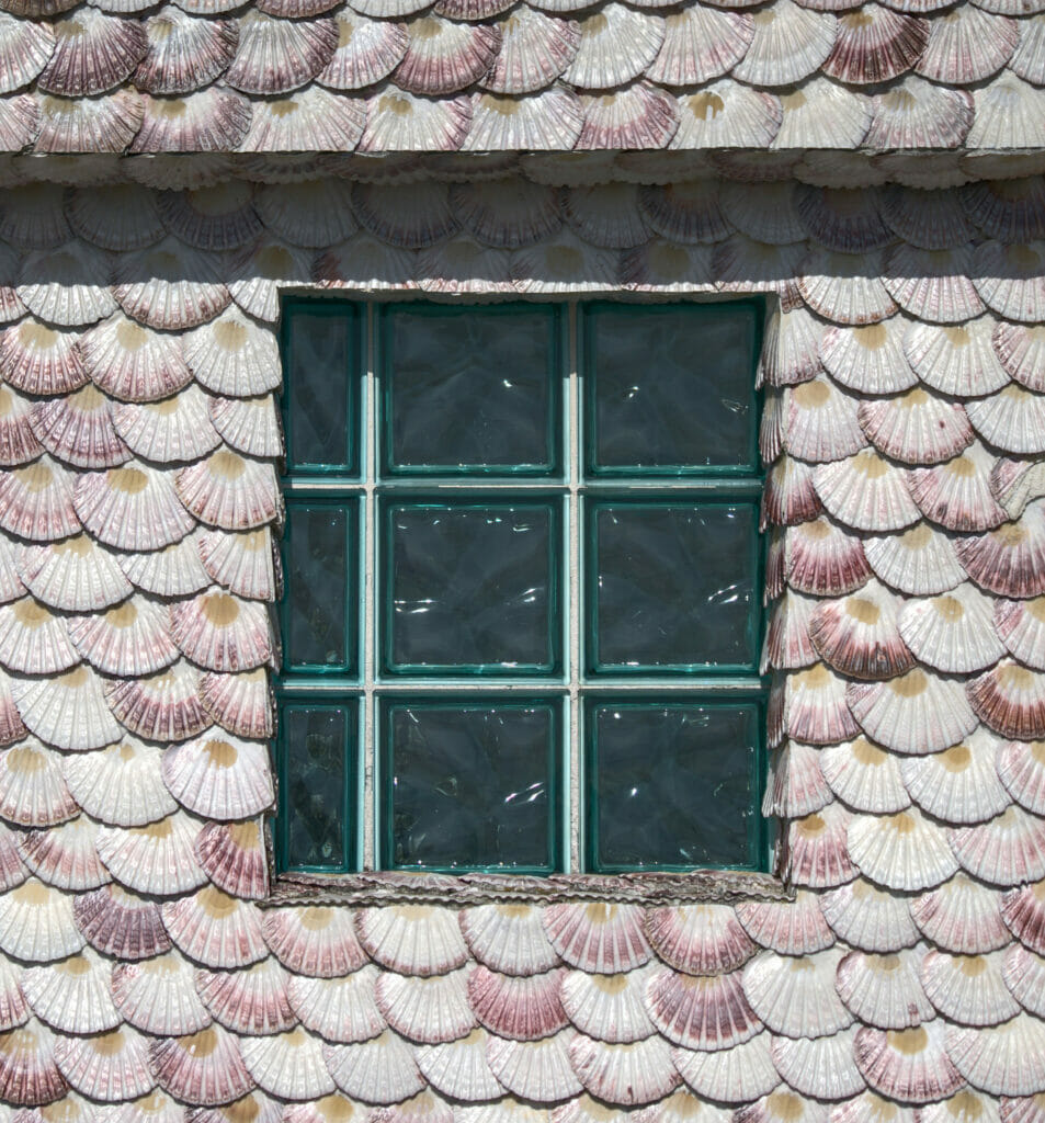
If you come in the area, you will also see that some houses have very original facades. Indeed, several houses along the promenade have their walls covered with scallops. We are not sure if we have perfectly understood the meaning, but a priori this clearly has a link with the pilgrimage route and the belief that the shell provides protection. In any case, it is a very aesthetic feature if you want our humble opinion.
O Grove Peninsula
After the island of Arousa we made a second small deviation “from the continent” to leave in direction of O Grove. Even if, unlike Arousa, O’Grove is not an island but a peninsula. This small piece of land is connected “to the mainland” by a long arm along which is a beautiful beach: the Lanzada (more about it below).
The Siradella mirador
Our first intuition to find spot for the nightwill have been to go, once again, to the highest point of O’Grove and thus enjoy the viewpoint at sunset. On the peninsula the highest point is th Siradella. mirador
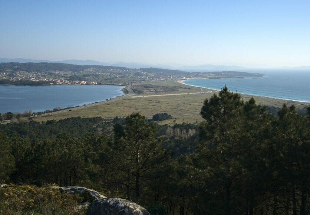
Arriving in the late afternoon we were very surprised to see an impressive number of cars parked on the parking lot. This spot seems to be very appreciated by the locals for a picnic and a walk. And honestly we understand why! The place is very nice and it is equipped with dozens of tables and benches. The view from the mirador is also very nice, especially for the panorama that we have on the beach of the Lanzada. Unfortunately, the trees completely masked the view towards the west and we quickly understood that this spot, although very pretty, was not going to be the best for the sunset. In short, we made a small hike on top and then we took again the road for… the most western point 😉
The view from the mirador over the beach of La Lanzada:
O Carreiro
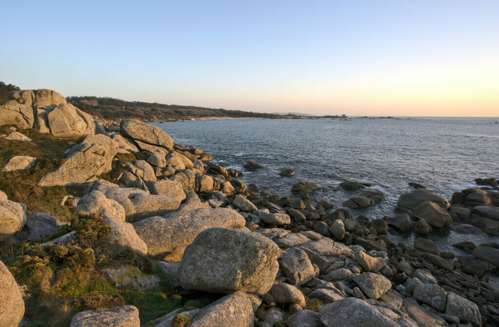
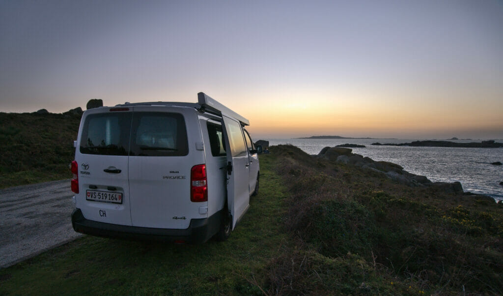
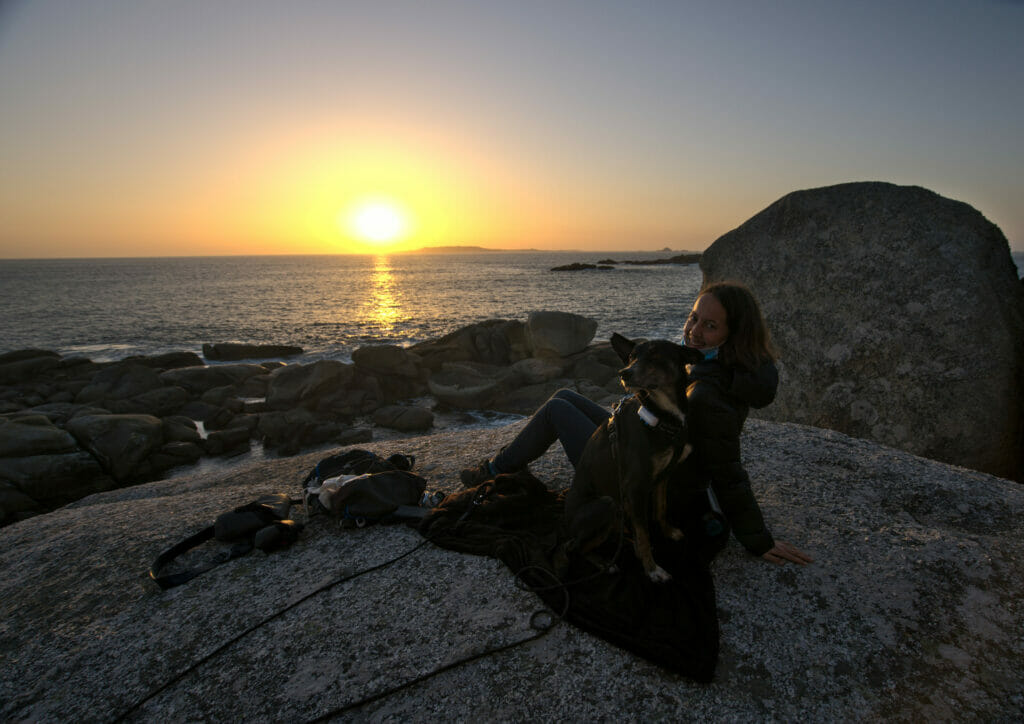
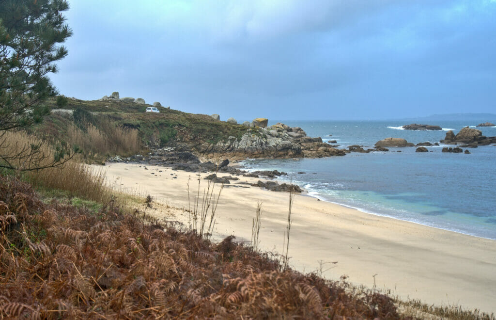
Determined to continue our series of beautiful sunsets, we set off again in the direction of O Carreiro, a point located at the extreme west of the peninsula. Once again, this choice has paid off: the place is absolutely sublime at the end of the day!
We regretted not having arrived a little earlier to enjoy even more the pretty coastal path that goes from Pateiro beach to Borreiro beach (we will have walked it the next morning, but we believe that the lights must be even more beautiful at the end of the day).
Lanzada beach
The next morning it is under the rain that we woke up on our parking lot at the seaside. But never mind, having a dog is an excellent pretext to go out even when the sky is dark.
Some pictures of the place where we slept the next morning:
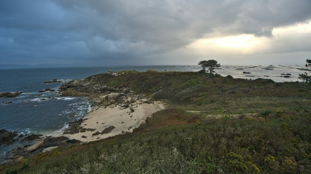
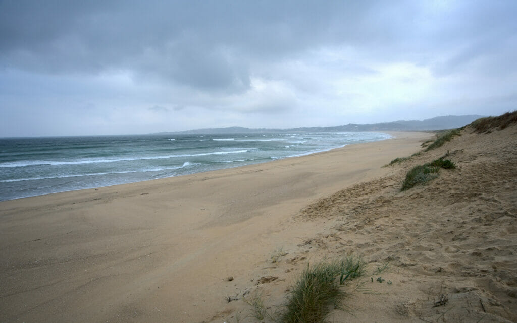
For our little morning walk we opted for the Lanzada beach. It is probably the most famous beach of the region and it is regularly taken by storm (the day before, on a sunny Sunday, we had passed by and the parking lot was crowded). We might as well tell you that on a rainy Monday morning the situation was different. 😉 Our small dahu (the van) was the only vehicle of the carpark and we were the only ones to walk around. With the sky threatening the atmosphere was very nice (although it also gota little humid at some point 😉 ).
In short, it was our last little stop before coming back to the coliving to enjoy a good hot shower (and a well deserved rest day for Winchy).
Practical information to prepare your road trip in Galicia
Spain in general and Galicia in particular are a paradise for road trips! And if like us you travel by van then all the more so 😉
Afterwards, I won’t hide the fact that being motorized in the area is almost a must… Many of the places we describe in this article are unfortunately not accessible by public transportation. In short, if you don’t have a car / van, we advise you to consider renting it (at least for a few days). To find a vehicle, we recommend you as usual to compare prices on Rentalcars.
If you’d rather get a van for your roadtrip you can check Yescapa or Campstar to find a van for rent here in Galicia. If you need more infos about this topic, have a look at our complete guide to RV rental here.
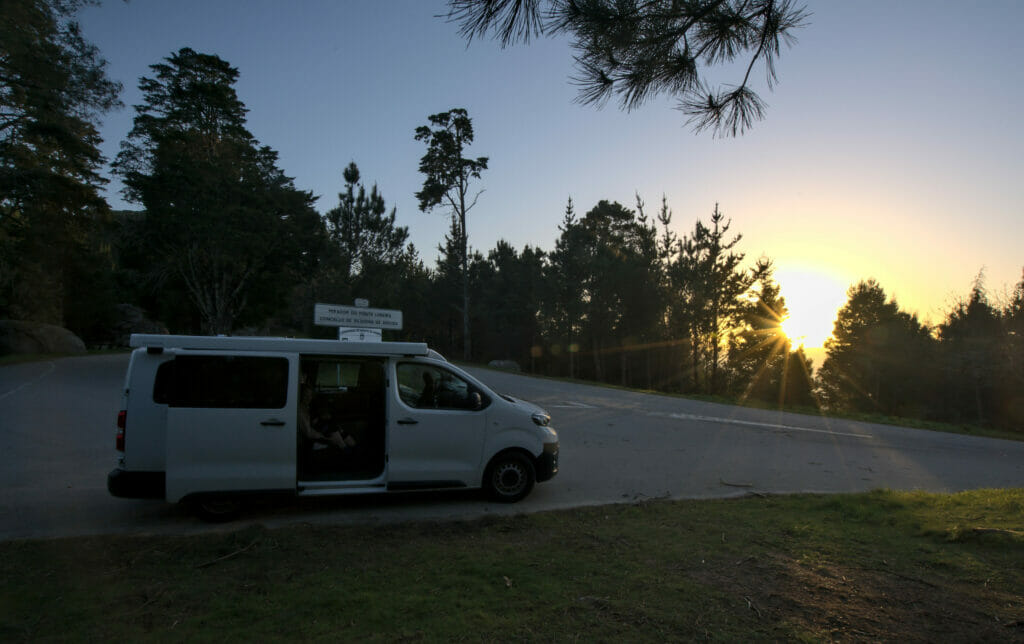
If you are in a van and you are looking for places to sleep, the reference is and remains the Park4Night application (and your common sense). We made this road trip at the end of February (so completely off season) and moreover in a slightly complicated time in terms of Covid… In short, it’s no big surprise that we were always alone at the spots to sleep. We imagine that in summer, things could be different. Even if based on some comments we read on Park4Night it seems that Galicia is quite tolerant towards wild camping (if done respectfully of course). And if not, there are of course many campsites available, especially on the island of Arousa or the peninsula of O Grove (all closed during our visit).
If you are not in a van and would like to find accommodation in the area you can take a look at the map below. You could also check on Booking.com
To visualize the hikes offline as well as to remind us of the different places we wanted to discover we have, as usual, used the free application Maps.Me
Concerning the good addresses where to eat and drink a drink, we will unfortunately not be able to help you… At the time of our visit the restaurants/bars were for the great majority closed. 🙁 But if you know the area and you have some good addresses to share, don’t hesitate to leave us a comment. 🙂
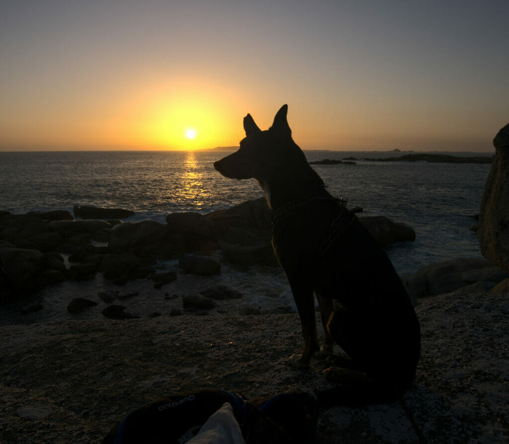
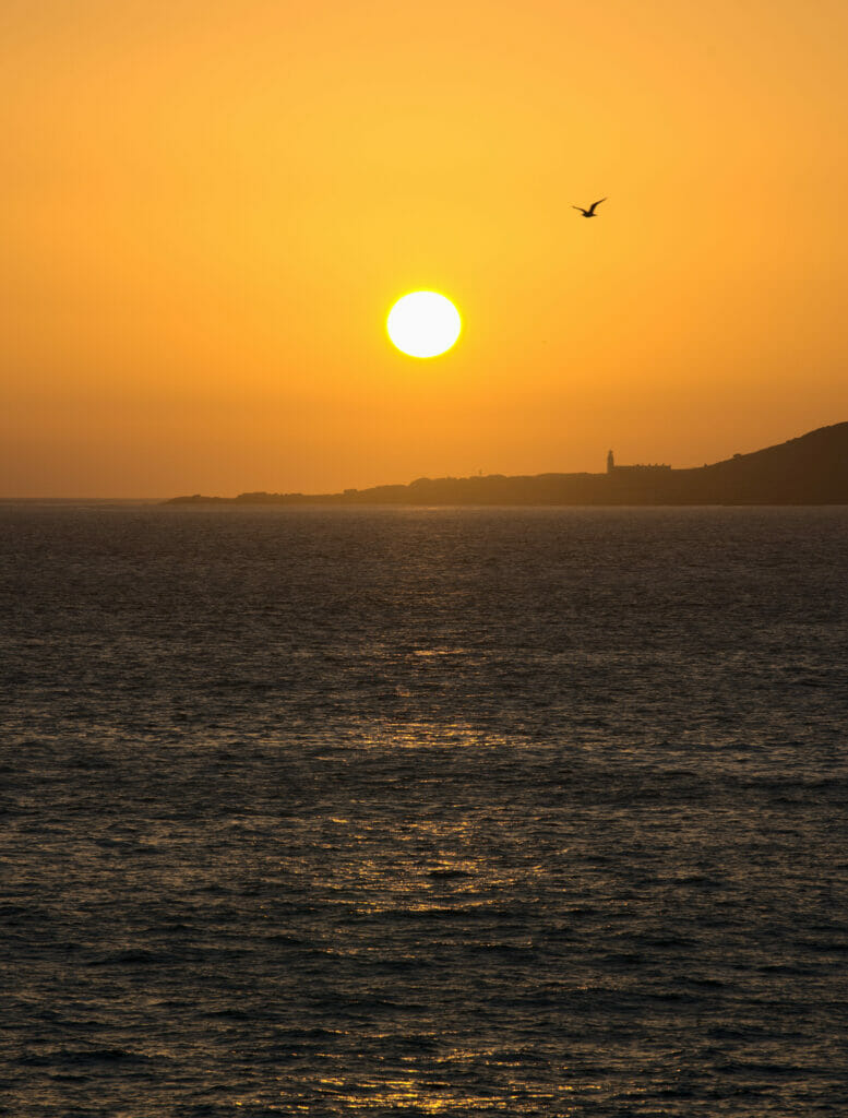
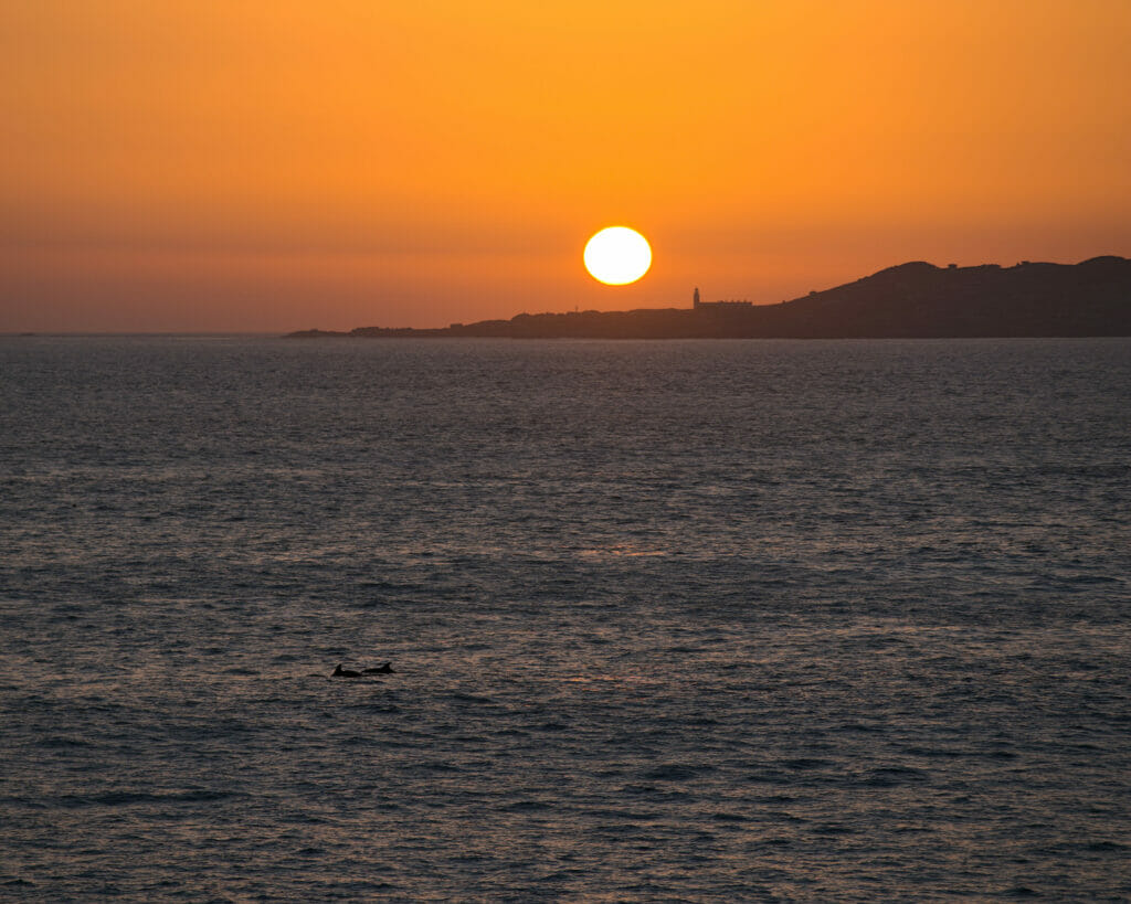
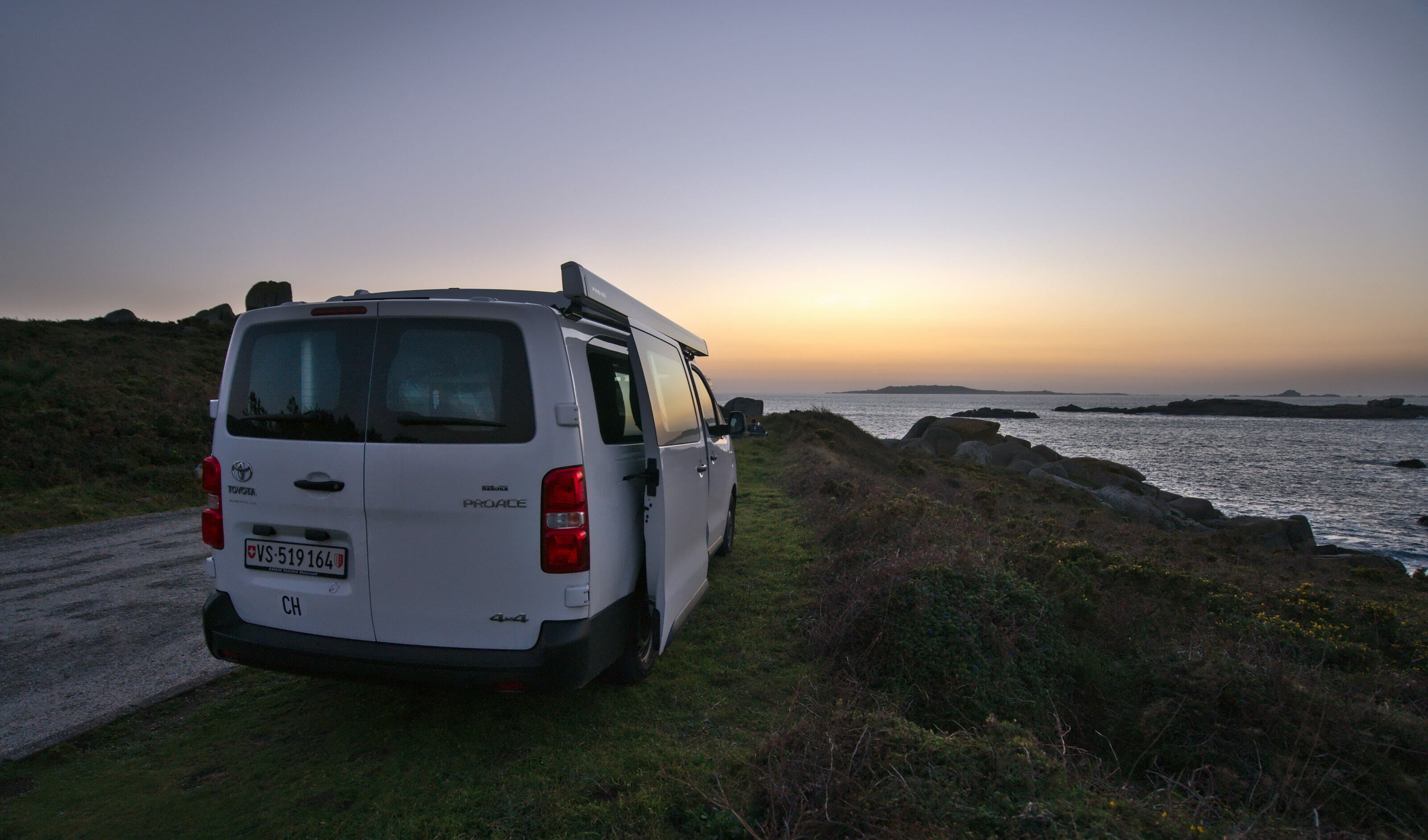
On that note, we leave you with one last magical picture of our sunset at O Grove where dolphins came to surprise us with their passage just as the sun was disappearing behind the island of Salvora.
Note: This article contains affiliate links to Rentalcars and Stay22. By booking your vehicle or accommodation through our link you do not pay anything extra but we will receive a small commission. Thank you for your support!
Pin it

Join the discussion