We continue our small road trip in Galicia with a new region: The Costa da Morte. While we were still based at the Anceu Coliving, we took full advantage of the beautiful weather forecasts to explore a little more the north west of Spain with our van “Dahu”.
Ever since we arrived in Galicia there was a place that caught our attention because of its name: Fisterra. This place marks the “symbolic” end of the pilgrims who walk the Camino de Santiago. The official end of the Camino de Santiago is Santiago de Compostela, but many pilgrims decide to continue to this point, which marks the westernmost point of the Spanish mainland. And since we decided to come to the area, we took advantage of it to make a small road trip of some days along the Costa da Morte.
- The Costa da Morte, where is it?
- The punta Nariga lighthouse
- The viewpoint of Monte Braco and the Balares beach
- Walk around the lighthouse of Laxe and the glass beach
- Soesto Beach
- A little hike around the Cabo Vilan lighthouse
- The beach and the lighthouse of Lago
- Muxia: the lovely little coastal town on the costa da morte
- Sublime coastal hike along the Camino de Compostela
- The Fisterra lighthouse: welcome at the end of Spain
- The Monte Pindo and the Ezaro Waterfall
- The Lira horreo, the biggest on the costa da Morte
- Carnota beach and Boca do rio beach
- Hiking on Monte Louro
- Resources to prepare your stay on the Costa da Morte
The Costa da Morte, where is it?
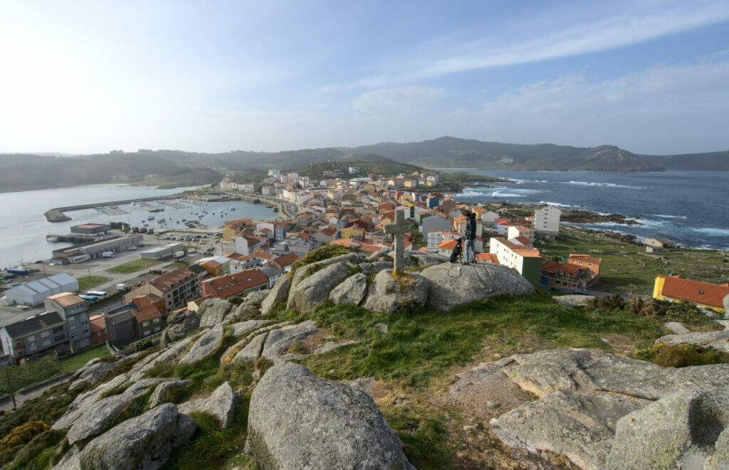
First of all it seems important to me to make a small “geographical” note to situate this blog post. We have already published 6 posts about Galicia here (and there will be more to come). Today we are going to focus on the Atlantic coast which is located between A Coruña and Pontevedra. This coast is called Costa da Morte (or death coast in English).
I reassure you, there is little risk of dying there nowadays. Its name was first mentioned at the beginning of the 20th century and refers to the many shipwrecks that occurred in the area. Indeed, this part of the coast is very steep with many rocks and accidents were very frequent.
Nowadays the Costa da Morte is a little treasure for nature lovers and beautiful landscapes. This part of Galicia has remained very wild and there are hardly any big cities on this part (just some small villages and fishing ports). So, for both hiking and vanlife, the Costa da Morte is a little paradise!
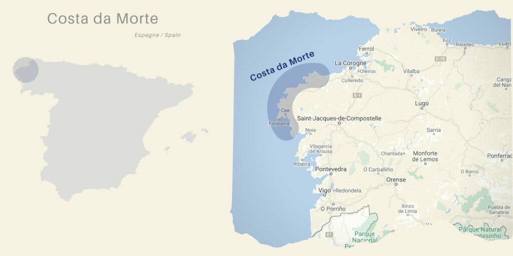
For this blog post we have decided to present you the different places in “geographical” order, from north to south following the Costa da Morte.
The punta Nariga lighthouse
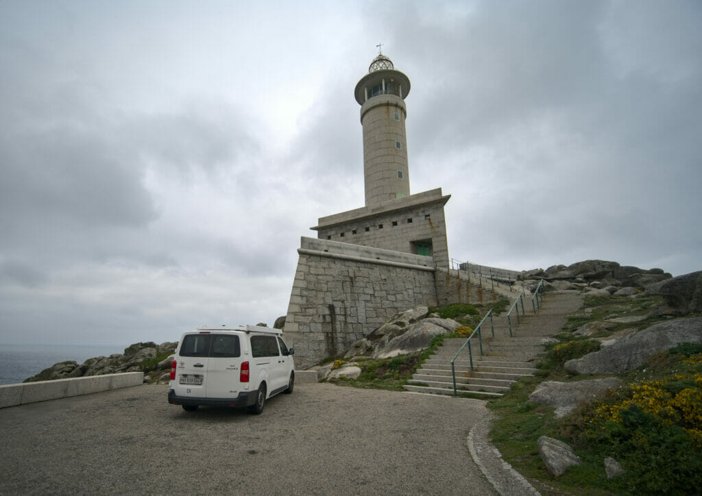
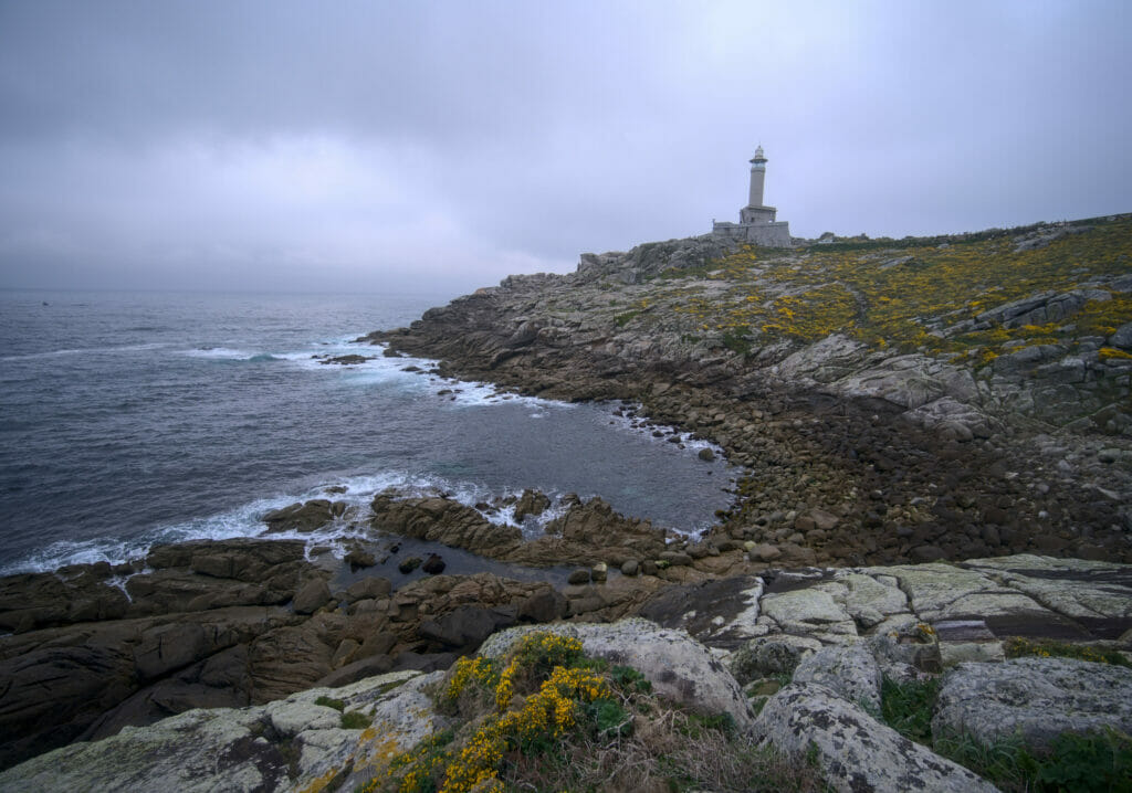
Officially the Costa da Morte starts at the small town of Malpica. Due to lack of time, but also because our dog is not yet a city lover, we decided to skip it. Instead, we went to have a look at the lighthouse of Punta Nariga.
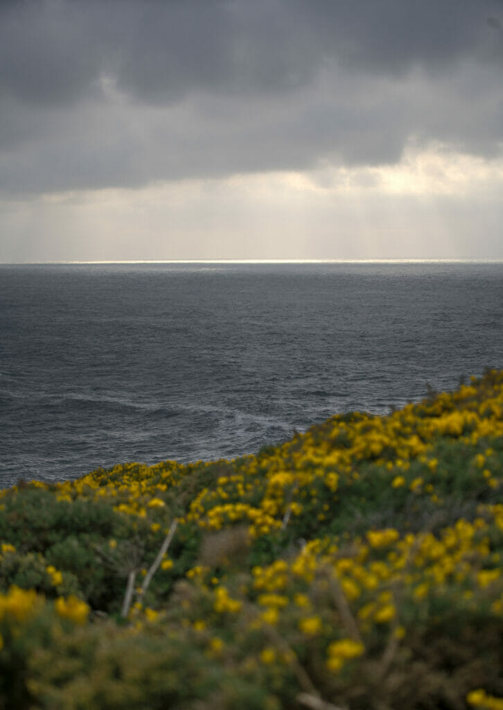
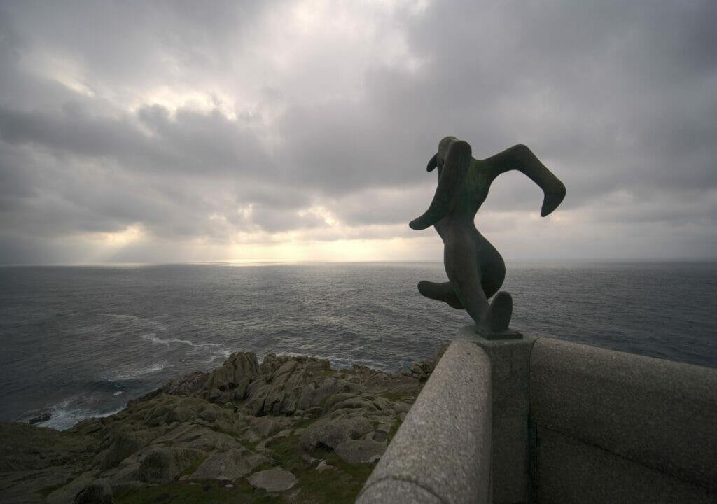
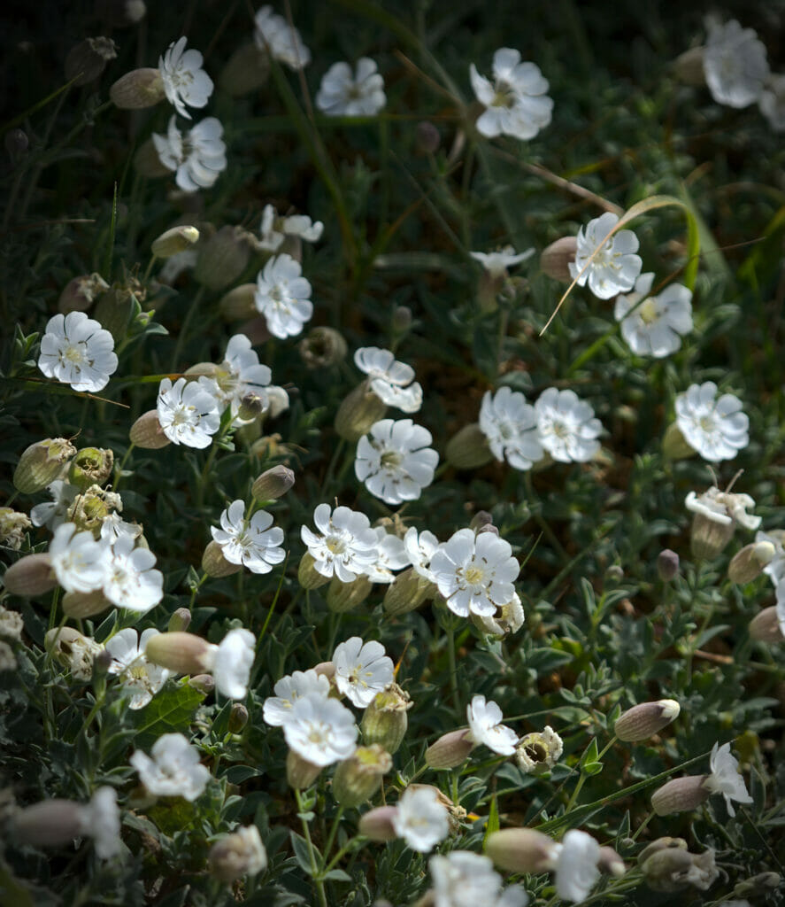
Unfortunately the weather was a bit cloudy, but despite that we enjoyed the area. There are several hiking trails in the area and it is easily possible to make a small loop of 30-40 minutes to enjoy the views along the coast.
The viewpoint of Monte Braco and the Balares beach
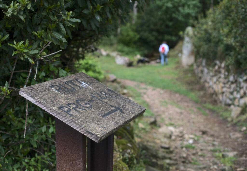
Going down the Costa da Morte there is another stop we can recommend: The beach of Balares and the mirardor of Monte Braco! We spent the night here and the next morning we went for a very nice hike in the surroundings following the PR-G 148. The PR-G are marked hiking trails in Galicia (Pequeño Recorrido Galicia). One would be tempted to believe that they are a safe bet in terms of maintenance and marking, but our experience clearly shows that some of them have been abandoned for a very long time… The PR-G 148 is very well maintained!
We started from the beach and walked along the coast until we reached the dunes on the other side of the tip.
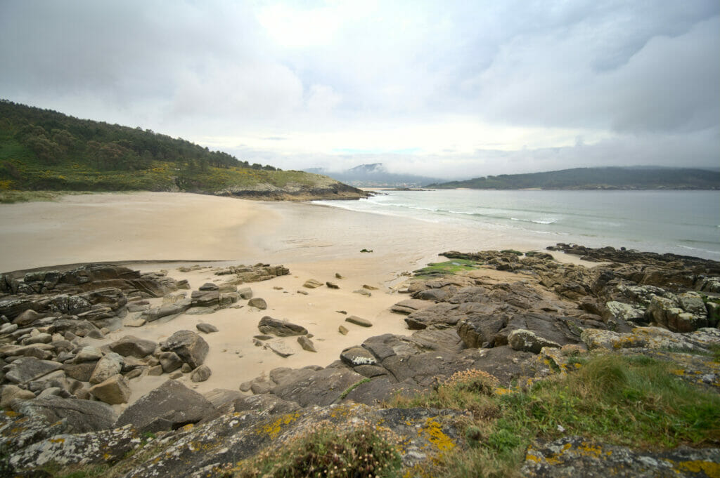
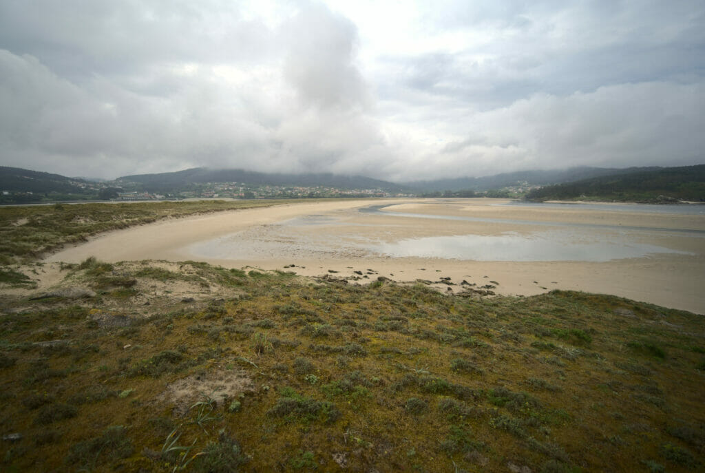
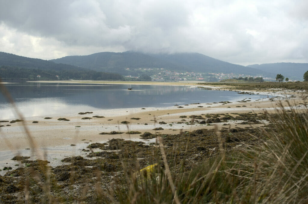
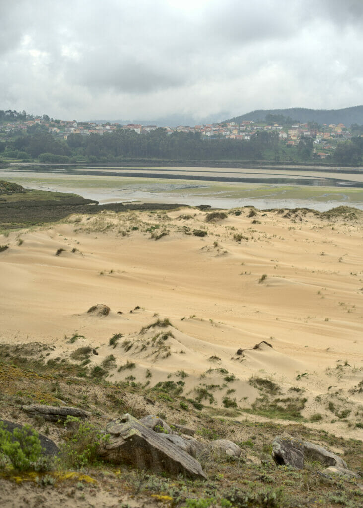
From there we went up to the mirador Monte Braco, a magnificent viewpoint that offers a beautiful panorama of Laxe and the estuary of the river Anllons.
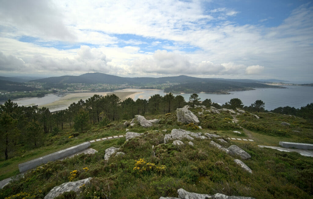
From the mirador it would have been possible to cut the walk short and to go back down to the parking lot by following the road for 2km. But as it was still early and especially as the sky seemed to be clearing a little, we opted for a little “extension” in the direction of Corme (without going to the end however).
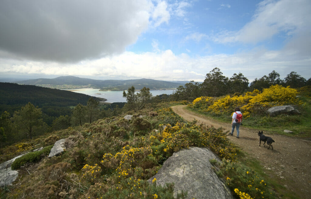
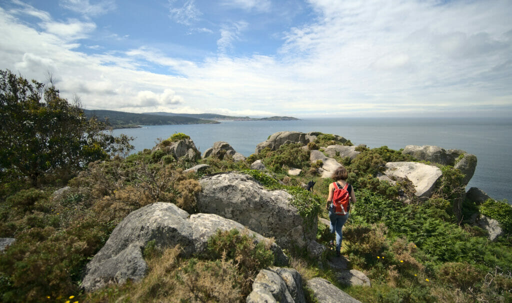
We loved this section and especially the last few kilometers that took us back to the beach pier by a path in the rocks overlooking the sea! If the weather is clear and you want to have some fresh air we definitely recommend you to do this hike. In total the walk is 12km long with 350m of difference in altitude (positive and negative). We took our time and it took us something like 3h30-4h to “complete the loop”.
Hiking map for Monte Braco:
Walk around the lighthouse of Laxe and the glass beach
Right in front of the beach of Balares and Monte Braco is the small village of Laxe (pronounced Laché). Originally this village lived mainly from fishing but since a few years tourism is slowly developing there. We decided to go and see the lighthouse at the end of the small point and the “famous” playa dos Cristais, or glass beach in English.
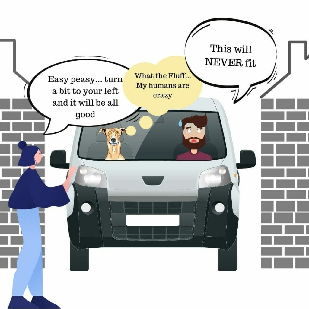
So before going to the hiking part I wanted to make a small traffic info point… To reach the start of the hike you have to go through the center of Laxe. The village was clearly built at a time when cars were not yet common… Nowadays there is a “main road” along the harbor, and then mini alleys go up in the village towards the cemetery. Clearly, for a Twingo or a Mini it’s ok… For a Dahu it was more complicated! Well it turned out to be ok, but let’s say we would have feel better without the cold sweats in the alleys where we had literally 10 cm of margin on each side of the van (with cars arriving in front). If it had to be redone, we would have parked at the port and made everything on foot. 🙂
Once the little cold sweats were over, we parked near the mirador da Insua and left for a small 3km loop.
The Laxe lighthouse
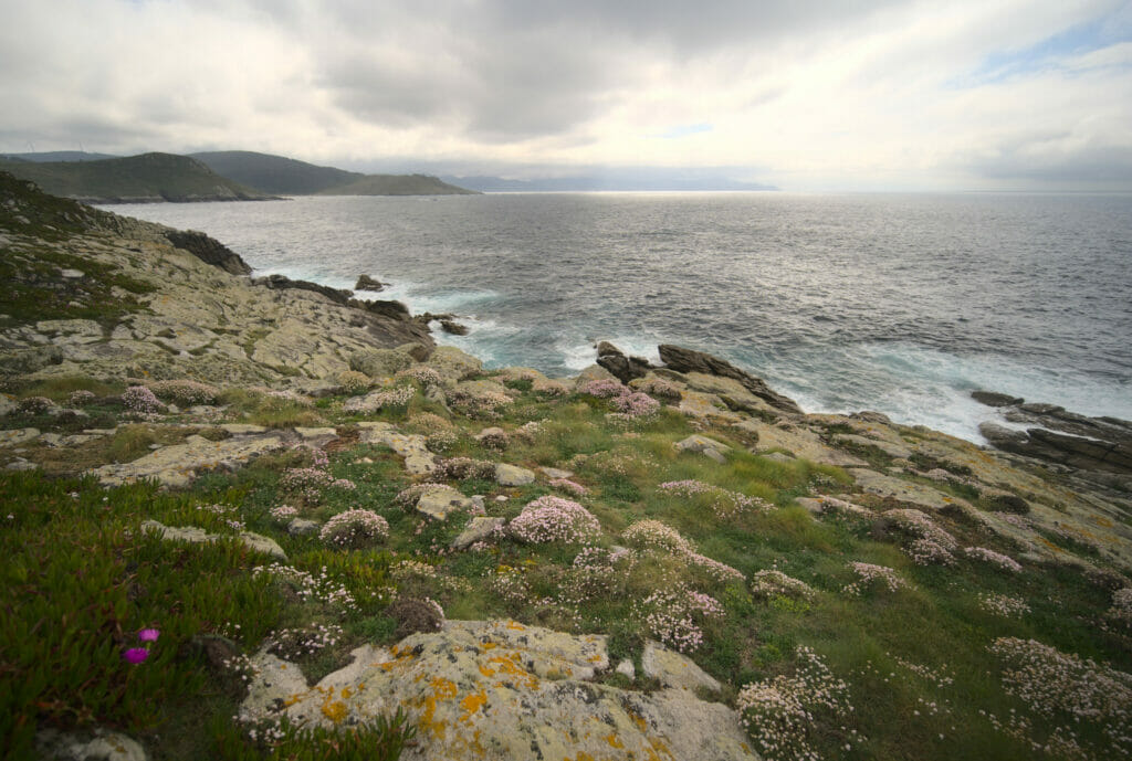
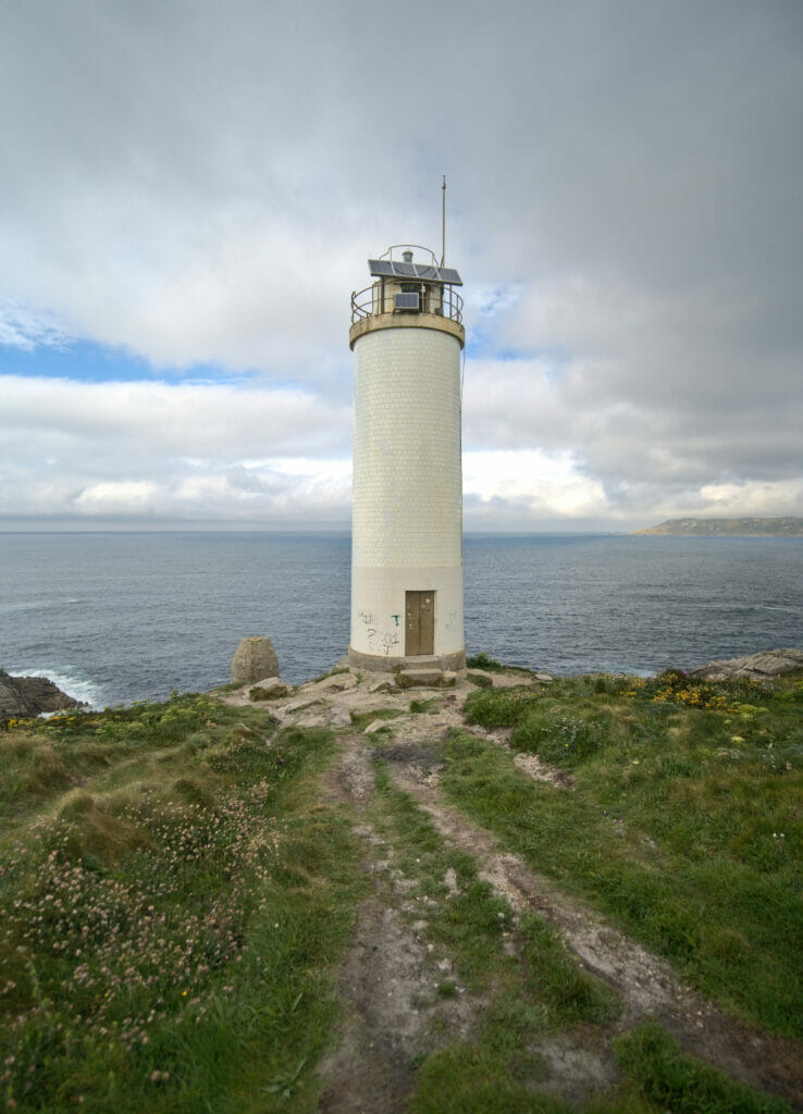
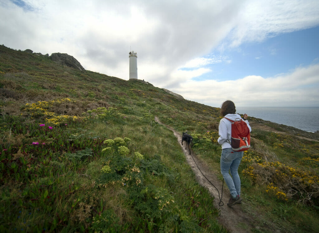
The beginning of the walk follows a small road for a few meters, then we take a left on the coastal path. Coming here in spring we were immediately transported “to the paradise of flowers“. The path is really sublime and perfectly indicated. At the end of the peninsula we arrive at the level of the lighthouse of Laxe. Built in 1920, this lighthouse is still in activity (in an automatic way of course) 😉 There is a way to reach it by the road, but if you want our humble opinion, the small walk is worth it as much as the lighthouse itself!
The glass beach
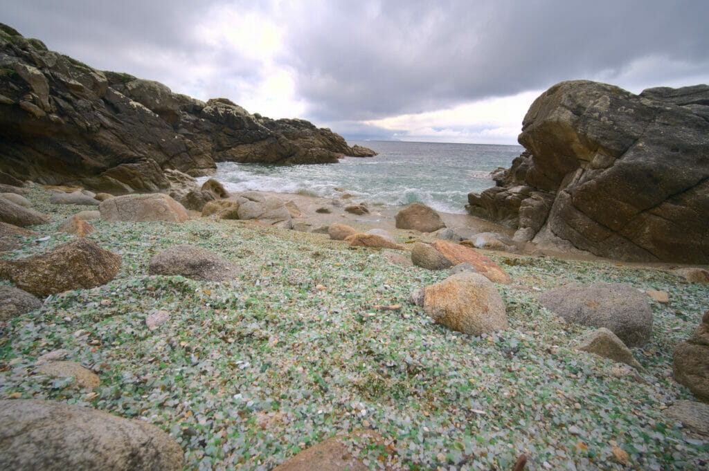
From the lighthouse the coastal path returns to our starting point on the other side of Punta Laxe. Again, this stretch is covered with flowers and we are totally charmed. Just before the cemetery, we arrive at what we had spotted as a “tourist attraction”: the glass beach…
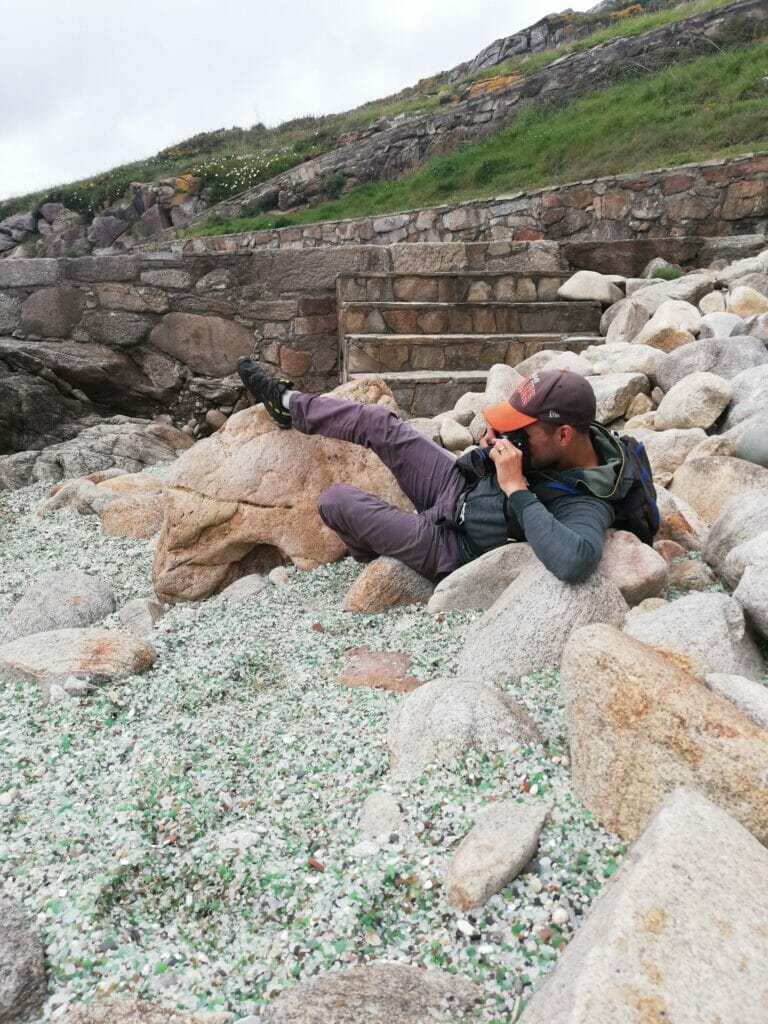
Hmm… how to say… A beach covered with small glass stones polished by the sea is indeed very “photogenic” but let’s say that in real life it’s a lot less striking. The beach is tiny and well, let’s face it, these pieces of glass are not natural. They are certainly brought here naturally by the sea currents, but they all come from an old wild dump which is somewhere off the coast. To illustrate what I am saying, I will give you a small picture of Benoit “in action” to take the nice picture 😉 haha.
The walk is relatively short (3km) and except for a short and steep climb it is not really difficult. It took us a good hour to do the tour (counting the numerous photo breaks).
And here is the map if you want to follow the same route:
Soesto Beach
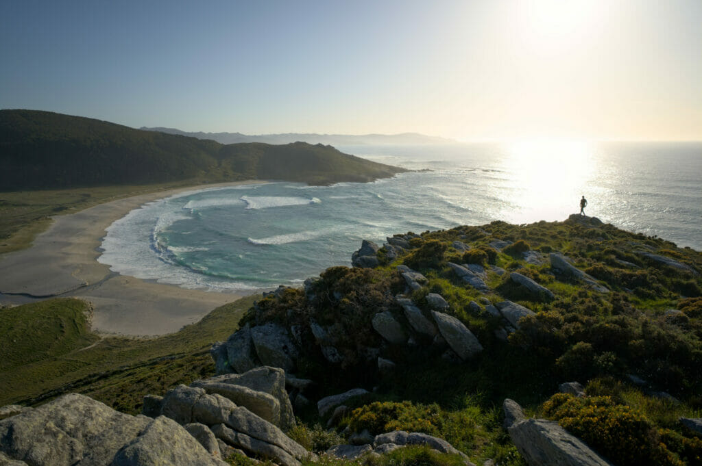
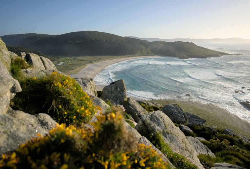
Known by surfers, this small beach is also a very nice stop for swimming or hiking lovers. Coming here “in the cool season”, we rather favored the land activity 😉
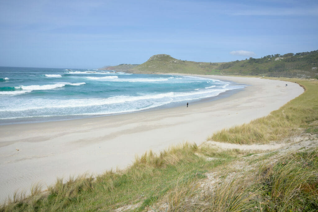
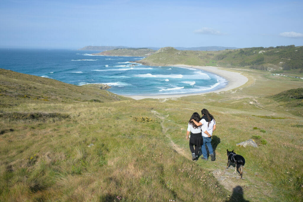
If you come here, there are several walks to do that are nice. We put you a small map below with the stroll that we made (with a special mention for the small summit being on the right of the beach at the time of the sunset) 😉
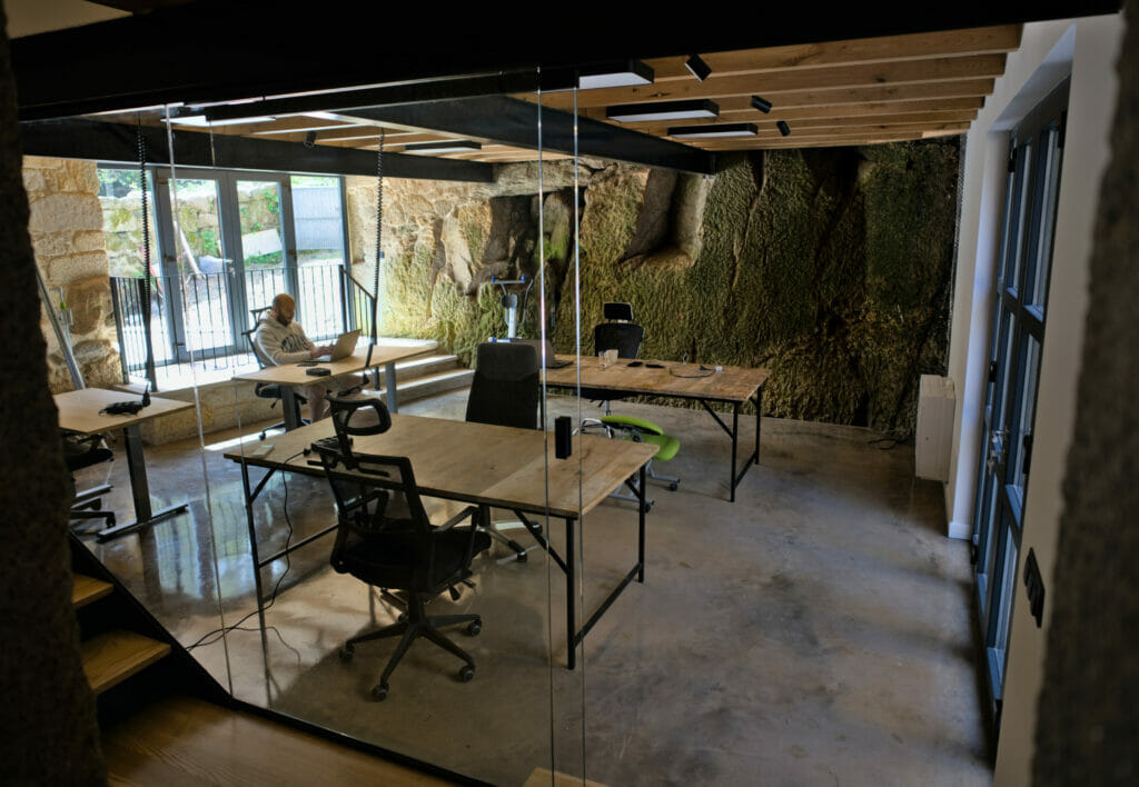
In 2022, we returned to the Costa da Morte with our friends from Anceu Coliving. The reason for this little road trip was that we had been invited to the opening weekend of iSlow Coliving, a new rural and family coliving in Galicia.
The place is open for booking for all digital nomads and teleworkers. However, this space has a little particularity compared to the other coliving places we know: it is “kid-friendly”. So for our part, this is not particularly an “argument” 😉 but we know that nomadic families would like to try this kind of accommodation. The place is really superb and the team is really nice!
A little hike around the Cabo Vilan lighthouse
We came by van to the lighthouse of Cabo Vilan with the idea of simply taking some pictures. In Galicia there are many lighthouses but few are as “aesthetic” as this one. The lighthouse itself cannot be visited, but the big “technical” building has been converted into a museum dedicated to shipwrecks and lighthouses and an exhibition center with a small café. Unfortunately this part was not open during our visit but we did not regret coming here. 😉
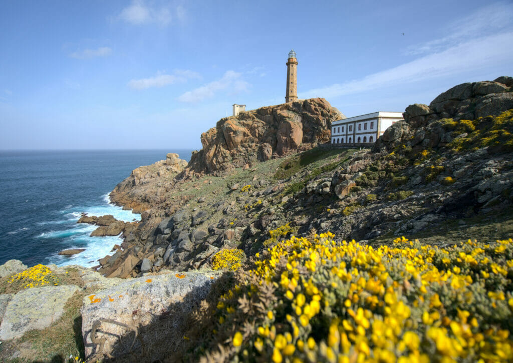
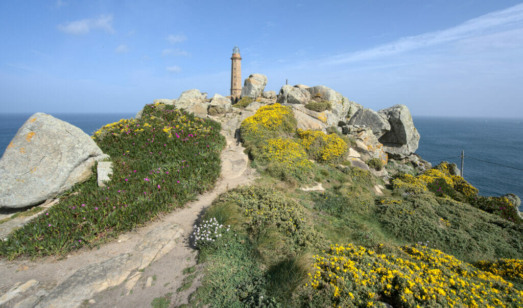
The exhibition being closed we thought we would take advantage of being here to stretch our legs a bit and we left in the direction of a viewpoint we had spotted on Maps.Me. The walk follows for the most part the wide track that reaches the lighthouse from the north coast. Clearly it is not the coolest ground for a hike but let’s say that the views largely compensate.
Arrived at a small “pass” we decide to leave on the left to go to a viewpoint which offers a nice panorama on the lighthouse as well as on the beach of Pedrosa which is on the other side. The path was clearly a little uneven (understand by that that it was not super well maintained with some brambles), but we were not disappointed by the view at the end:
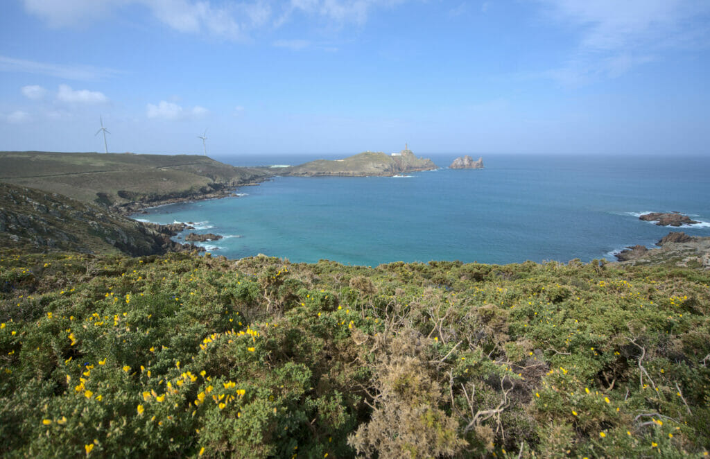
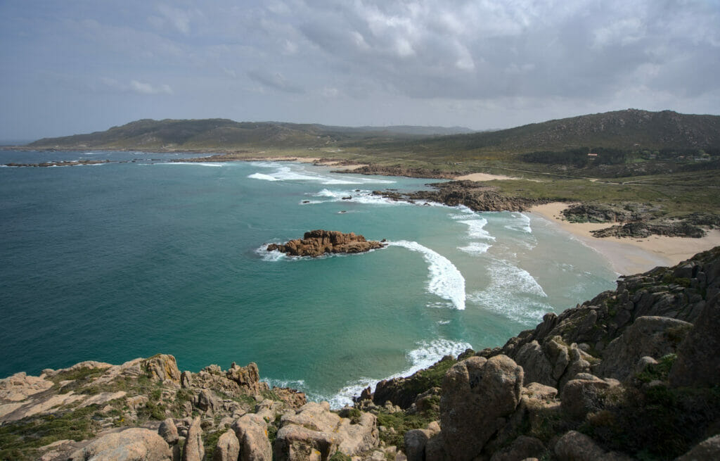
All in all this little hike is 6km long with about 150m of ascent (positive and negative). It is really easy and offers a great “effort-view” ratio 😉
Hiking map for this Cabo Vilan loop
The beach and the lighthouse of Lago
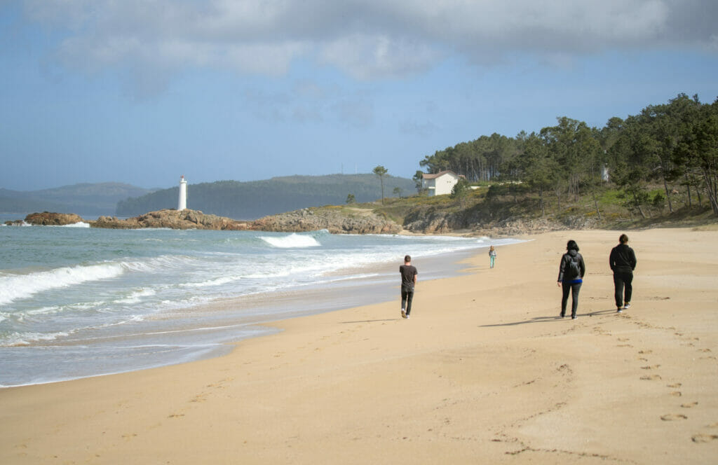
Just before the small town of Muxia, we also recommend a short stop at the beach and the lighthouse of Lago. This place is really beautiful and friends who live in the area told us that this place is one of the “quietest” in the summer. It’s hard to imagine for us, because we always came to Galicia in the off season and there was not a cat… But apparently, during the summer months the Galician coasts can be quite crowded. According to our friends, this region is still quite “wild” and mostly visited by locals.
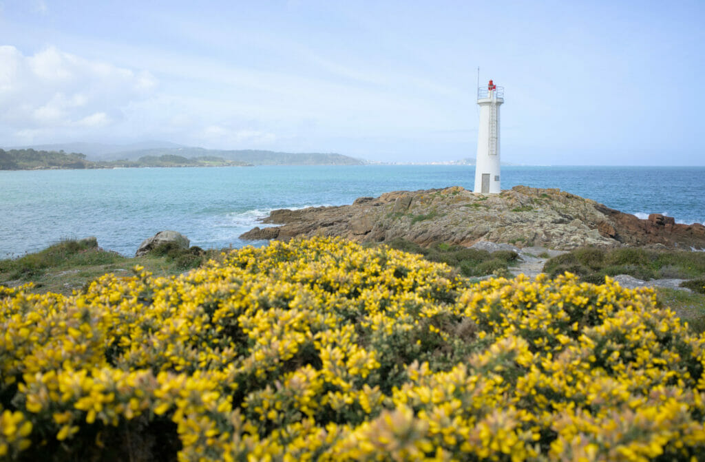
It will be hard to tell you what it is in the middle of July, but what is certain is that it is very pretty!
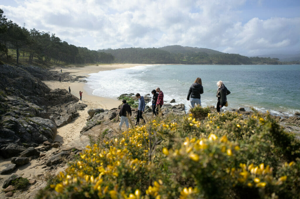
PS : all the people on the picture were part of our group 😉 Apart from us there was not a cat on the beach… We had organized this outing with the other members of Anceu Coliving where we were based.
Muxia: the lovely little coastal town on the costa da morte
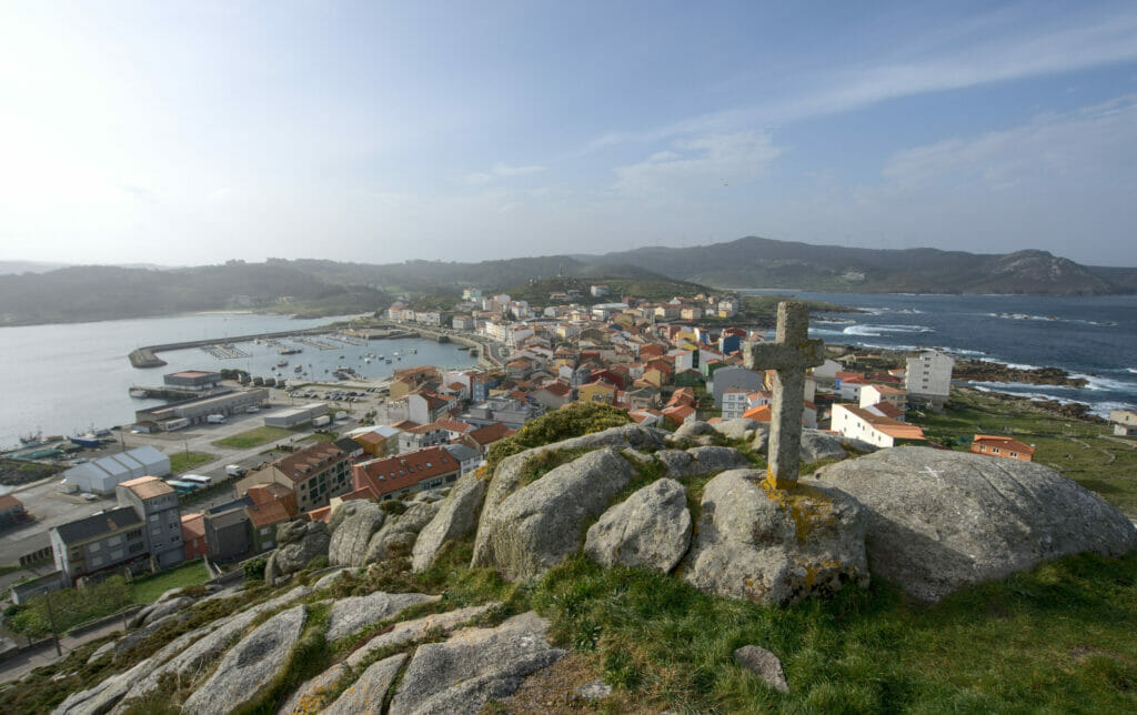
We passed by Muxia only briefly… In fact, to tell you the truth, we didn’t even go to the center of the village. You may already know it, but during this trip to Galicia we adopted our new life companion Winchy, an adorable fur ball who now follows us everywhere on our adventures. Very comfortable in the mountains and more generally in nature, he still has a panic fear of the noises of the city. Arrived in Muxia, we had not made 10 meters in direction of the port that he started a monumental panic attack. We are working on getting him used to it little by little, but it was clearly “too much”. Anyway, instead of aiming for the center, we went on foot towards the Muxia lighthouse and the sanctuary of the Virgin of Barca, which are at the end of the point.
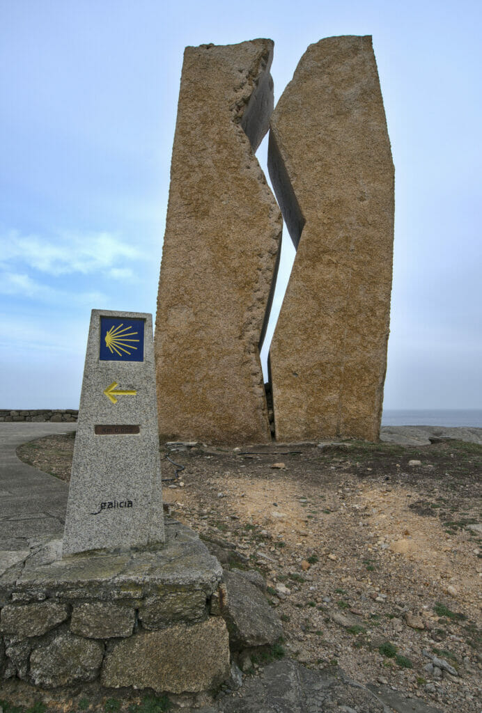
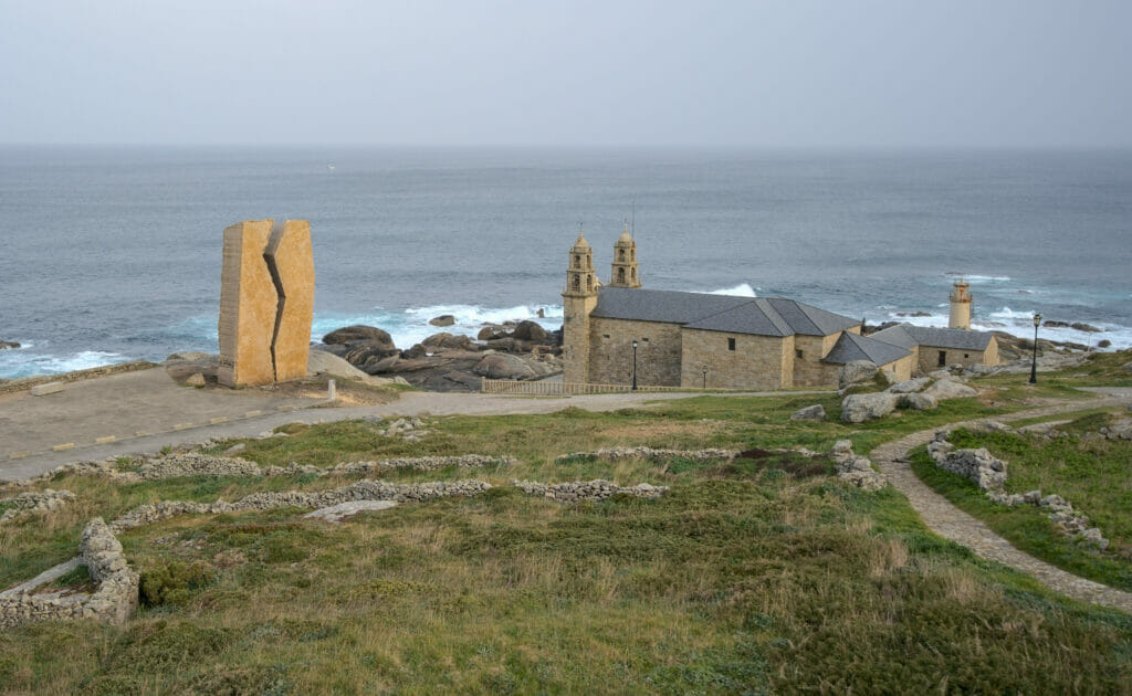
In this place we also find the monument called “A Ferida”, a huge granite sculpture that pays tribute to the volunteers who came to help during the tragic sinking of the Prestige in 2002. The Prestige was an oil tanker that literally split in two off the coast of Galicia and sank to the bottom of the ocean creating a huge oil slick that came to stain the beaches between Portugal and southern Brittany.
To return to the center of Muxia we opted for a short detour to the mirador that overlooks the village. This mini loop takes about 30 minutes on foot and is well worth it!
Sublime coastal hike along the Camino de Compostela
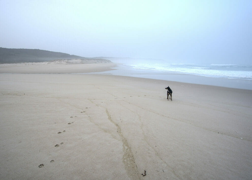
I think that if we had to name a favorite hike in Galicia our heart would swing a little but this one would certainly be somewhere at the top of our list! We opted for the beach of Rostro to spend the night with Dahu and the next morning we left for a sublime 9km morning loop with Winchy.
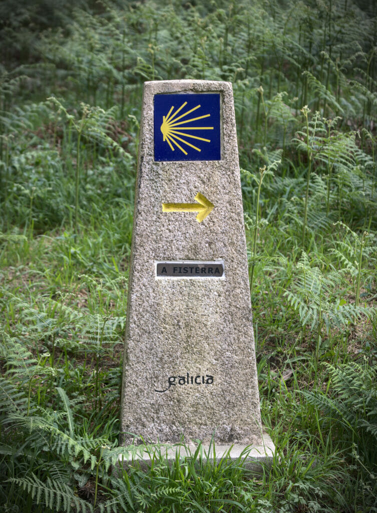
We had noticed that we could make a loop by following, on the way out, the official way of Compostelle and, on the way back, a coastal path (yes, we wanted to make it in this order to keep the best part for the end) 😉
Starting from the beach, we first went up the main road and then followed the Camino de Compostela towards the beach of Lires. This section is mainly through the forest and along the fields. It’s not bad in itself, but believe me the best is yet to come!
Arrived at the beach of Lires we took a small break before resuming our hike by following, this time, the coast. This section of approximately 5km is just EXCEPTIONAL and it is without any reserve that we can recommend it to you (well… way of speaking, it is clearly better to keep your eyes open here).
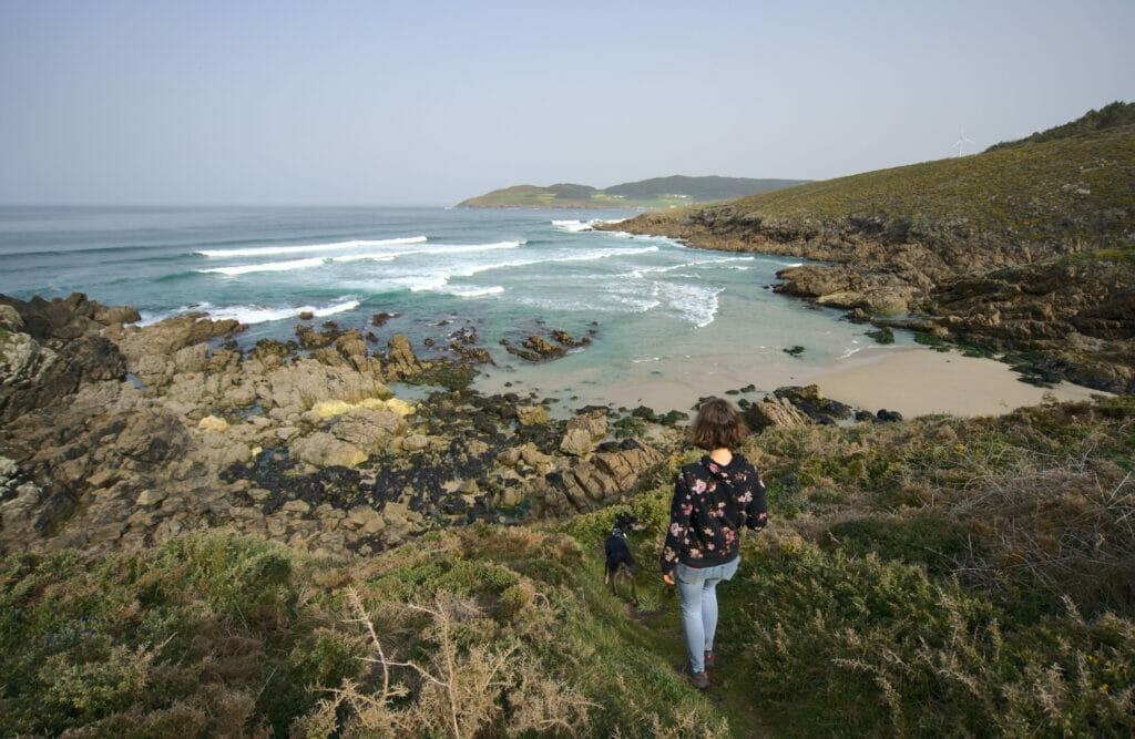
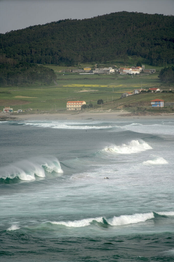
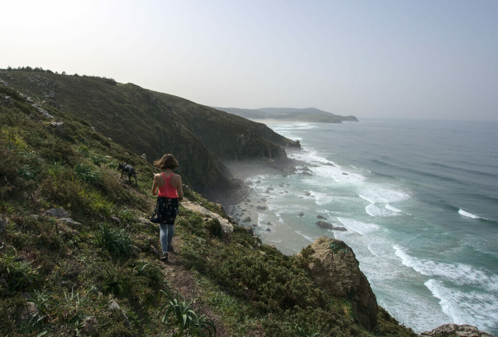
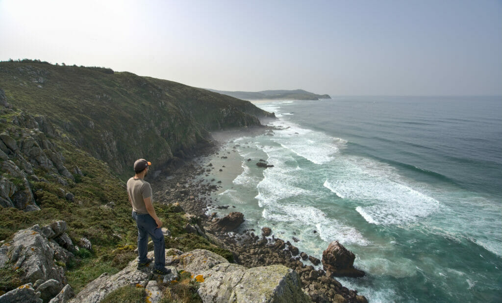
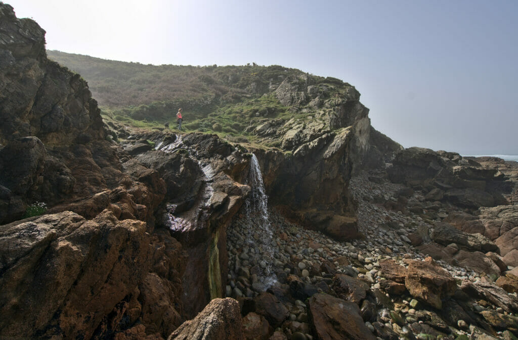
Shortly before returning to the beach of Rostro we arrived at a beautiful place where a small waterfall was flowing straight into the sea. There we met several pilgrims who were taking advantage of the fresh water for an improvised shower. It must have been quite fresh if you want my opinion, but clearly it would be difficult to dream of a better panorama to wash 😉
Hiking map for this loop around Fisterra
The Fisterra lighthouse: welcome at the end of Spain
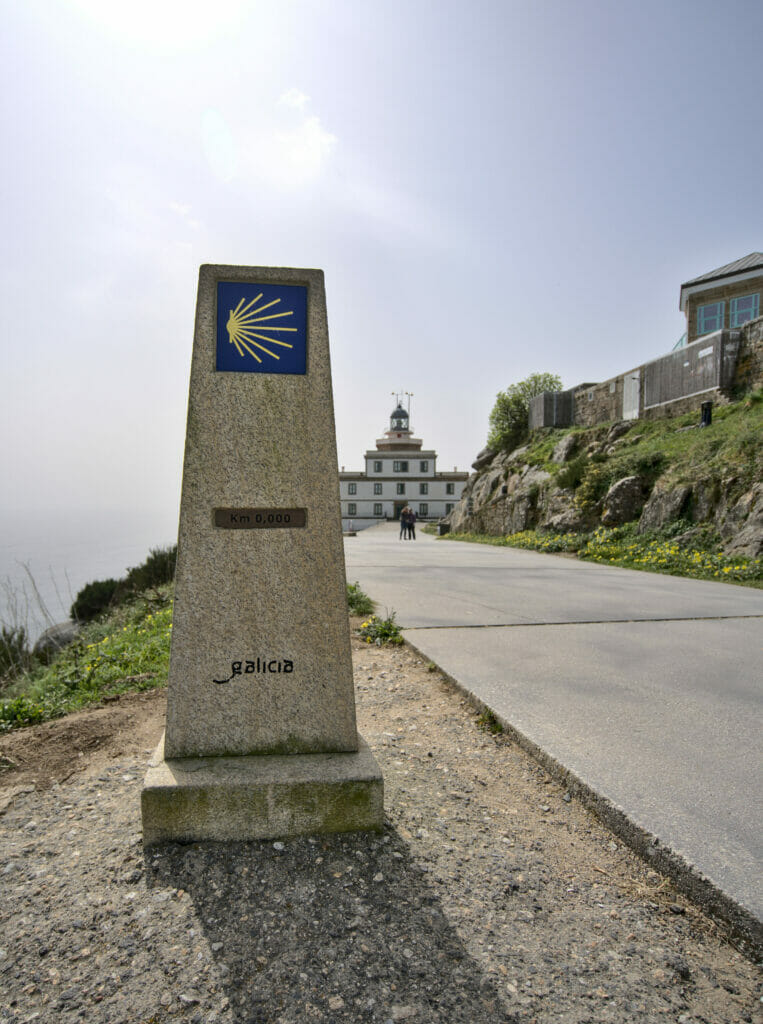
Cape Finisterre is one of the most visited places in Galicia. In fact, it is the second most popular place after the cathedral of Santiago de Compostela. Why is this? In fact, many pilgrims decide to walk the last 90 kilometers between the cathedral and this most western point of Galicia (and Spain). It is a tradition that pilgrims come here to burn their clothes or throw their shoes into the sea. We have not seen this tradition “in action” and we sincerely hope that there are no more people throwing their shoes in the sea but let’s say that this place remains mythical.
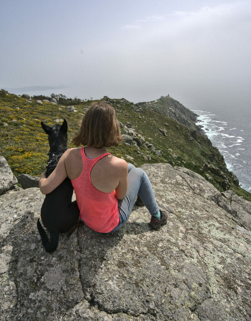
We did not follow the camino but it felt unimaginable to be in the area and not at least come and see this lighthouse from up close. 🙂 A road arrives to a big parking just at the foot of the lighthouse. But if we can give you a little advice, then it would be to also follow the small road which goes up on the small summit which overhangs the cape Finisterre: the view great from there!
The Monte Pindo and the Ezaro Waterfall
It was on Instagram that we received several messages telling us that we should not miss Monte Pindo in Galicia. Others were telling us about the Ezaro waterfall because it is apparently one of the few waterfalls to fall directly into the sea in Europe… Hmmm, a little look on a map and we realized that these two “unmissable” were not very far from each other and that there would surely be a way to combine them in a hike 😉
Monte Pindo
There are officially 3 routes that go up to Monte Pindo: one starts from the village of O Pindo and the other two start from the other side, at the level of the small hamlet of O Fieiro. We noticed that the slope seemed steeper on the part connecting the summit to O Pindo, so we decided to follow this section hiking up.
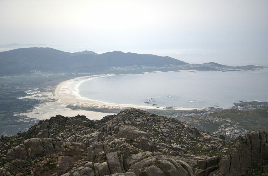
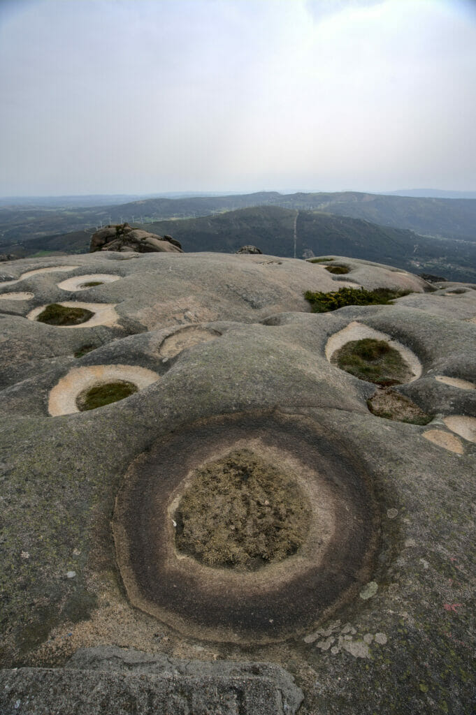
Leaving the village, it took us only a few meters from the church parking lot to find ourselves on a magnificent, totally wild trail. As we went along, the vegetation gave way more and more to impressive granite rock formations. Monte Pindo is sometimes also called the Celtic Olympus. There are many legends that go with this nickname, like the one saying that the granite rocks of Monte Pindo could help women to get pregnant. Hmm… we won’t be able to confirm this point but we’ll be the first to tell you that it’s worth going up there. 🙂
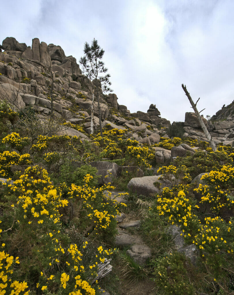
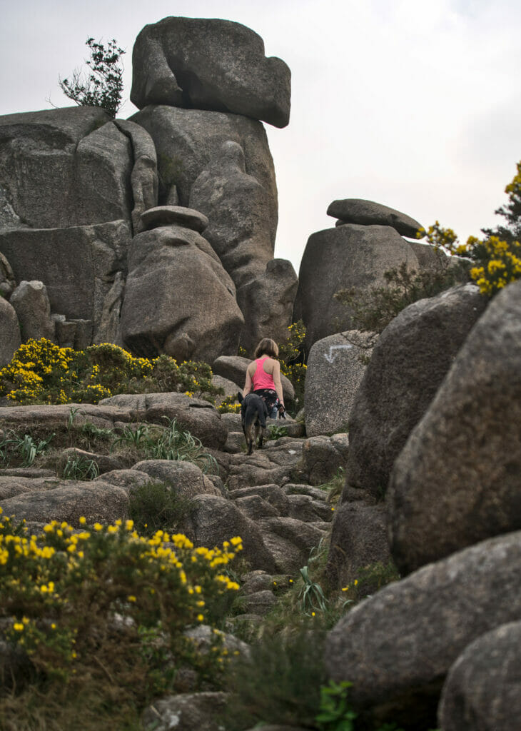
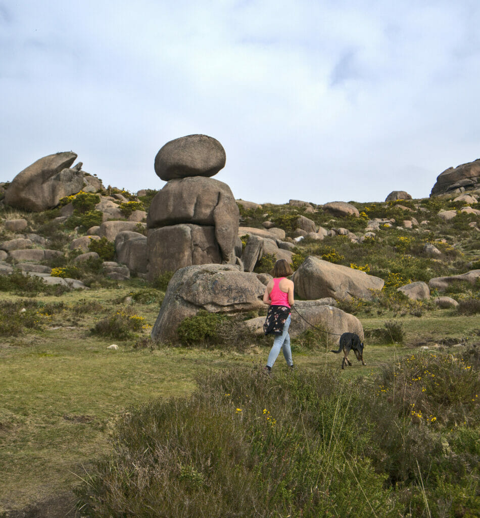
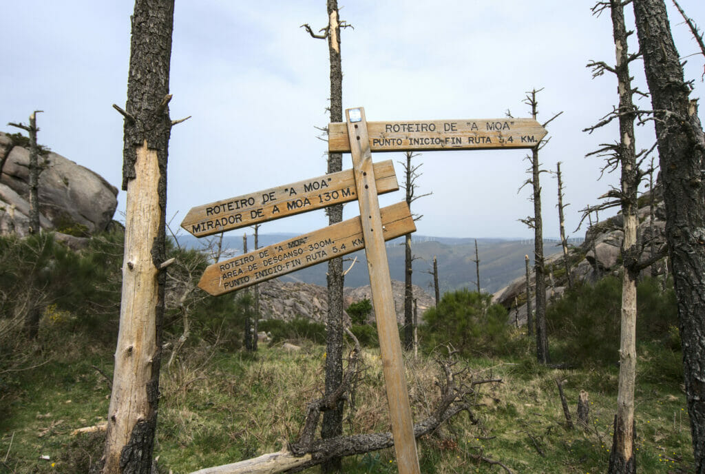
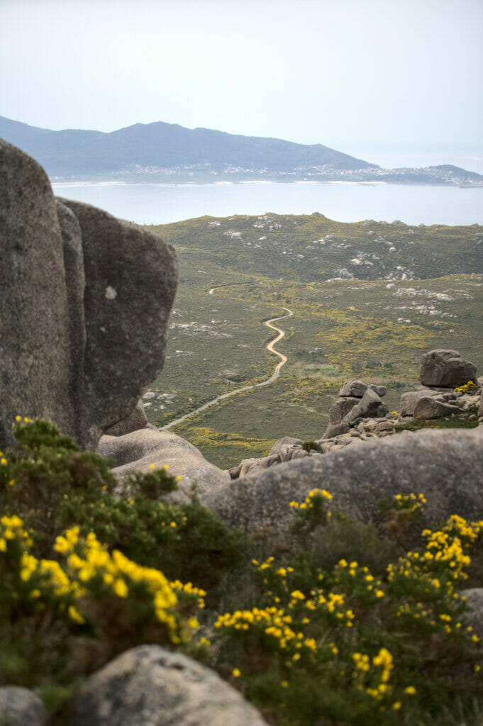
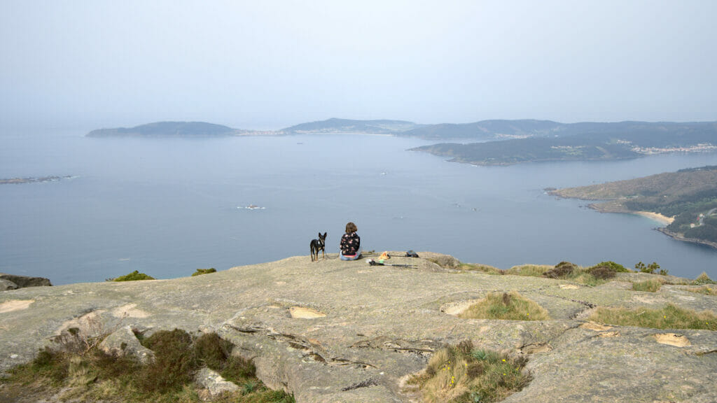
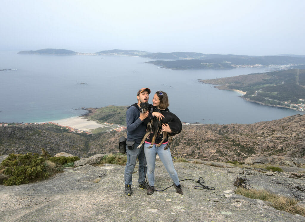
Honestly, the climb is a bit tough on the legs… 650m of D+ to the top under the sun to wake us up. 🙂 But, as often, when you suffer a little on the way up, you are rewarded by the panorama. At this level, Monte Pindo keeps all its promises.
Coming from the Alps, a 650m climb makes us smile a little when the locals call it a mountain. For us it is more like a hill. But we have to admit that being the only summit in the area, the view is 100% panoramic.
Ezaro Waterfall
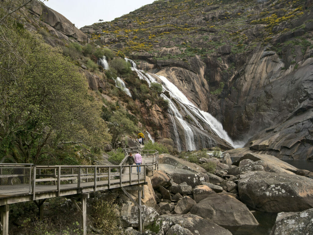
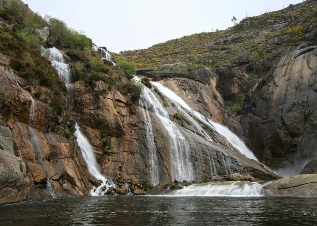
The Ezaro waterfall is one of the “classics” to discover on the Costa da Morte. With Benoit’s passion for waterfalls, you can imagine that we couldn’t miss it 😉 The access is free and is done by following a large footbridge which leaves from the tourist office.
In fact, if this waterfall is so well known, it is on the one hand because of its relatively impressive size, but also because it is one of the only freshwater waterfalls to flow directly into the sea in Europe. We admit it, the latter makes little difference for us, but it is a fun fact to know.
Covid, traveling during low season and a bit of bad weather meant that we were almost alone during our visit. But intuitively, when we see the infrastructures and the parking lots at disposal, I would say that this place could be well crowded at certain periods of the year. You will tell us… 😉
Details about the hike to Monte Pindo and Ezaro Waterfall
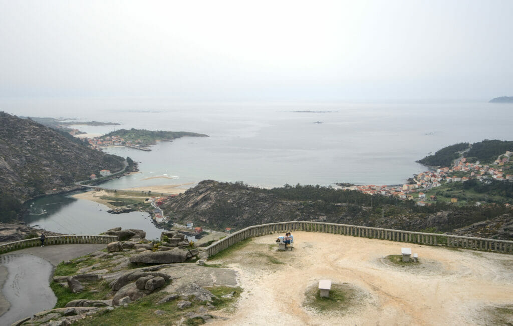
We chose to start the hike in the village of O Pindo, but it is possible to start in several places like the Ezaro waterfall or the Ezaro viewpoint. As for the direction of the hike, we opted for the counter-clockwise direction. This direction allows us to have a steeper ascent and a softer descent (personal preferences).
In all the route is 16,3km with 750m of altitude difference (plus and minus). Clearly, it is a rather long and challenging hike. It took us about 6 hours to complete the loop (taking our time).
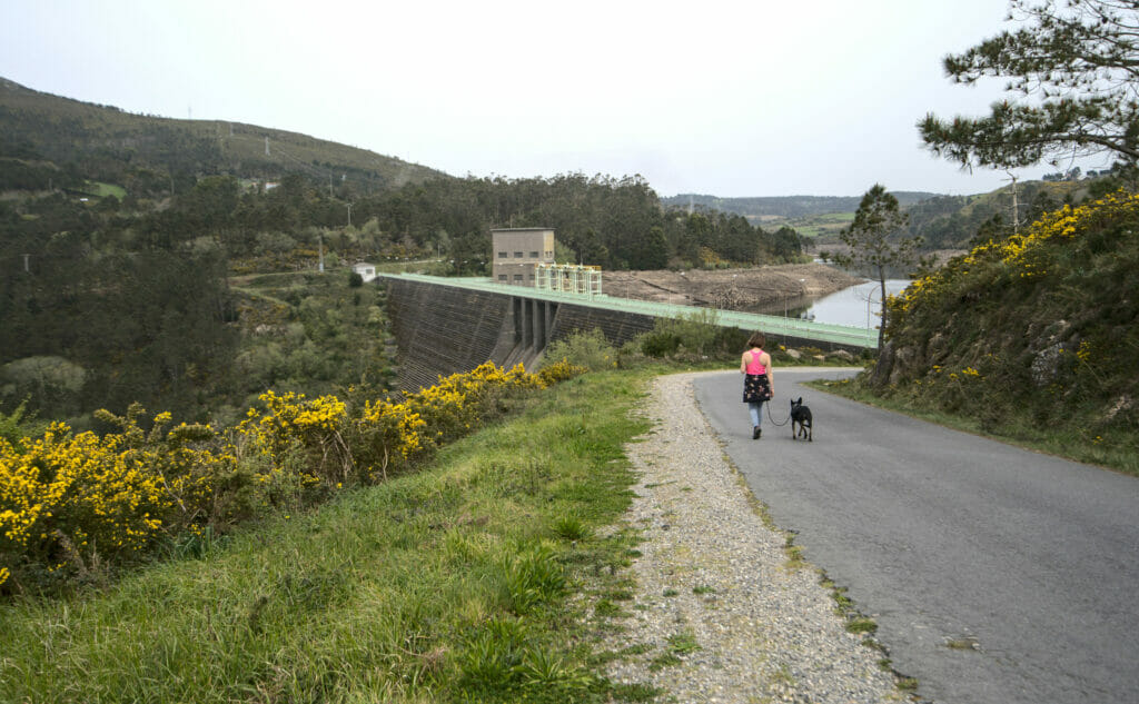
Our only small drawback of the itinerary would probably be the relatively long road section. On the 16km that the hike counts, 8km are made on the asphalt (all the northern part of the loop between O Pindo and O Fieiro). The roads are not very busy so in itself it is not very disturbing, but let us say that we prefer the paths to the asphalt. After that, we thought about it but we don’t see too many options to do it differently. We really loved the ascent AND the descent to Monte Pindo and we think that it would be a shame to do it as a round trip. In short, unless you have a private driver to come and pick you up, you’ll have to follow the roads 😉
Map of the hike:
The Lira horreo, the biggest on the costa da Morte
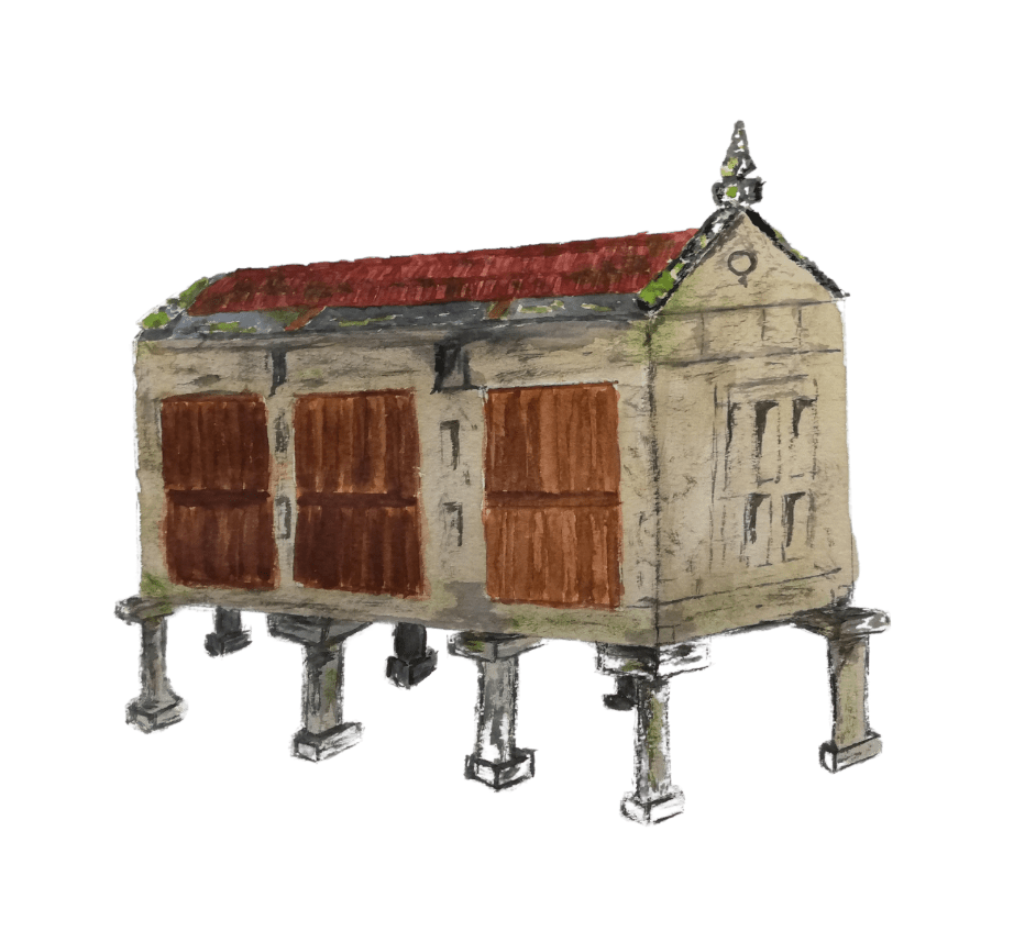
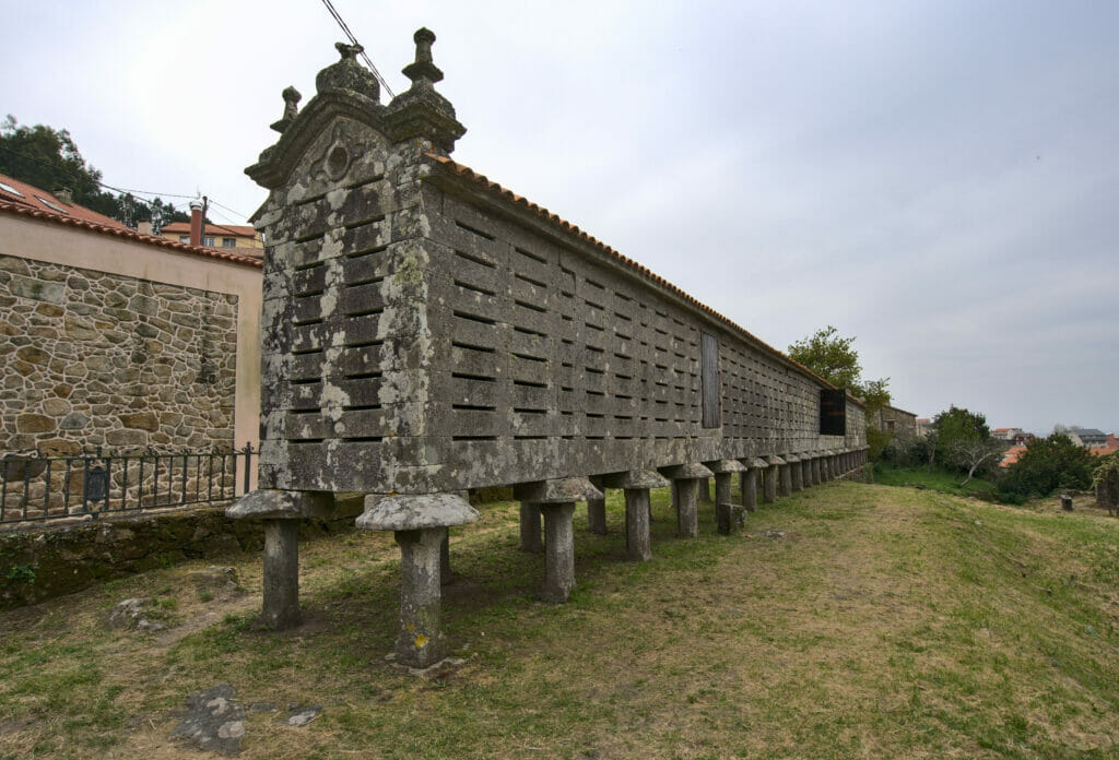
Before talking to you about Lira’s horreo I think a little “historical” point is necessary on what a horreo is. 🙂 In Spanish it’s pronounced like the famous brand of cookies but I reassure you it has nothing to do with it! The horreos are old “granaries” where grains and cereals were stored and protected from rodents. In the end it is quite similar to the raccards we have in Valais… The vast majority of horreos are no longer used for their original purpose, but they are an integral part of the Galician heritage. In the rural areas almost every house still has its horreos. By the way, it is said that the more pairs of feet a horreo has, the wealthier the family is.
In the vast majority of cases a horreo has 6 or 8 feet (although it is not uncommon to see some with 10 feet). But in Lira there is a very special horreo! It has… be careful… 22 pairs of feet, or 44 feet! This makes it one of the biggest in Galicia!
Carnota beach and Boca do rio beach
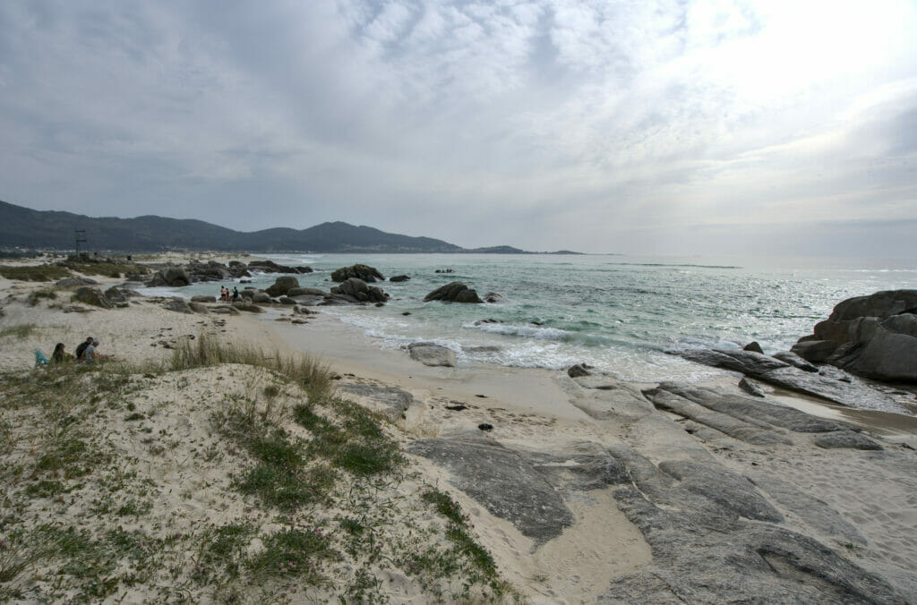
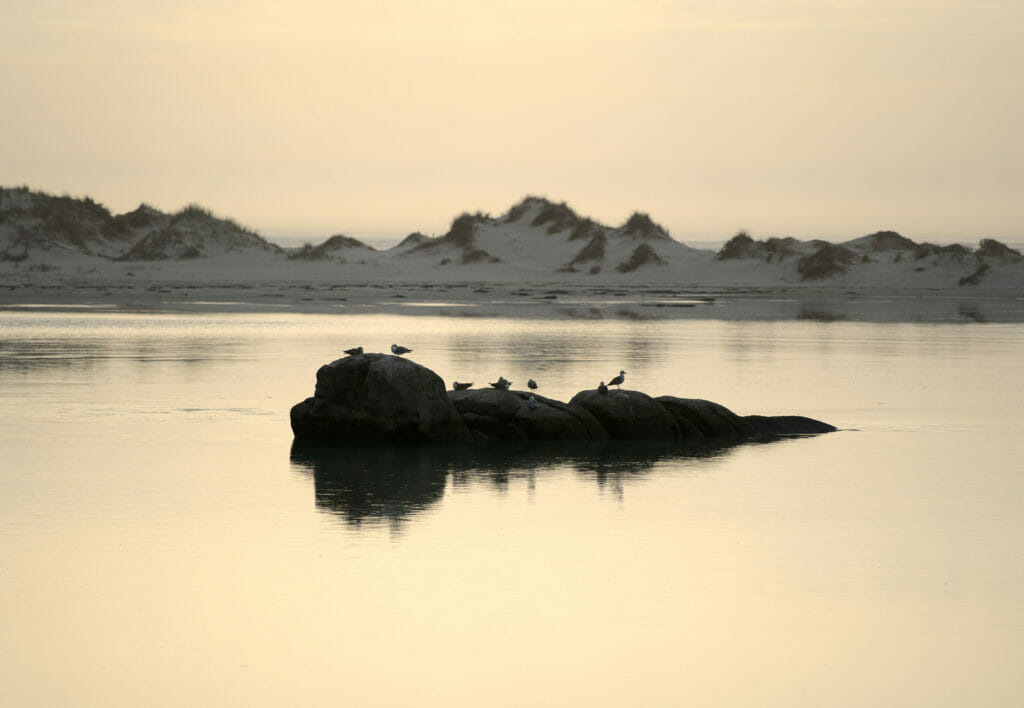
For once we are not going to suggest a hike (it’s rare enough to be noted 😉 ) but just a nice place to come and relax and enjoy the view! Carnota beach was one of our stops to spend the night with Dahu and we loved this place! There is a beautiful beach and an estuary that changes drastically with the tides. It’s funny because while staying here for a while we were able to watch the fishermen “in action”.
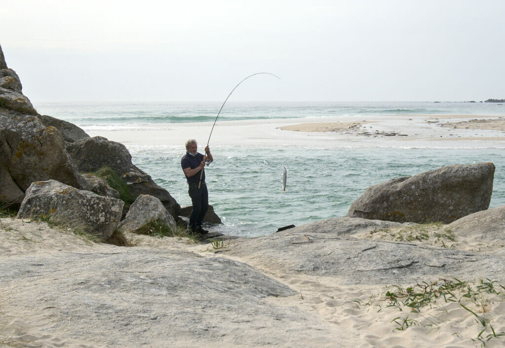
As you know, the sea and us, that makes 2 and we don’t know anything about tides and fishing… But it seems that tide changes and estuaries are appreciated combination by fishermen. 🙂 No need to be an expert in natural phenomena to understand the logic. When the estuary empties, there is a powerful current that “goes out” and everything is sucked out. It is easy to imagine that the fish are also sucked out. In short, the fishermen position themselves at the narrowest point and simply wait for the bite. Staying there for an hour, we can’t tell you how many fishes this gentleman took out of the water, but clearly quite a number!
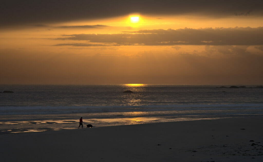
The west exposure makes this spot a dream place to come and admire the sunset on the Galician coast.
Hiking on Monte Louro
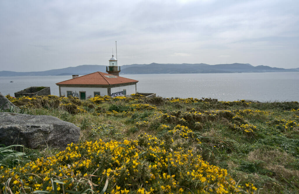
Officially the Costa da Morte “ends” at the village of Muros. Although we passed there we won’t have much to tell you about it… On the other hand we made a nice little walk just next to it, to Monte Louro. Our basic idea was to come and see the lighthouse and then leave… But once we got there, the weather was nice and we had spotted a viewpoint on Maps.Me. Impossible not to go there to have a look 😉
Leaving the lighthouse, the path first follows a track for about 2 km. Once at the end of the road we follow the path that climbs through the rocks towards the top of Monte Louro. From there the view is just spectacular; a 360°C panorama even though we are “only” 200m high 😉
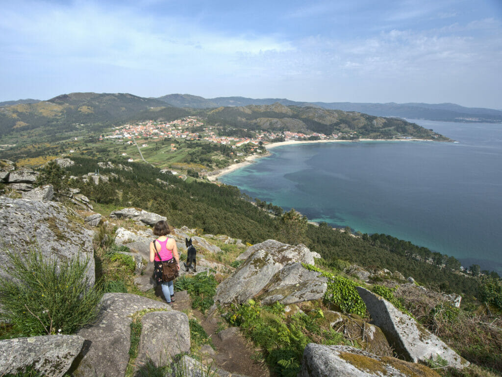
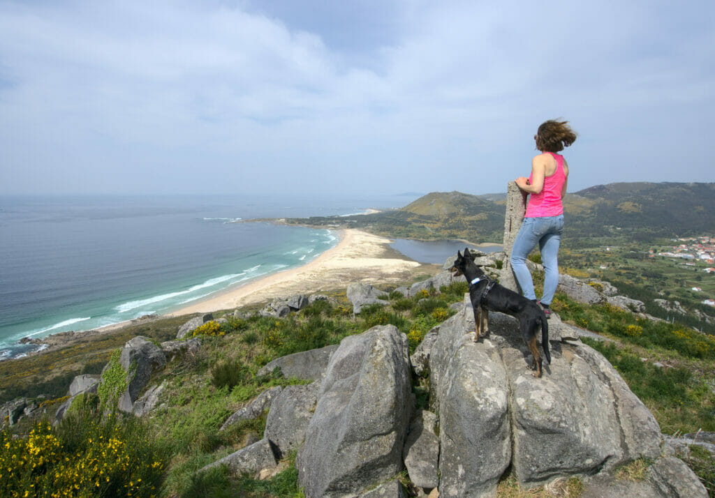
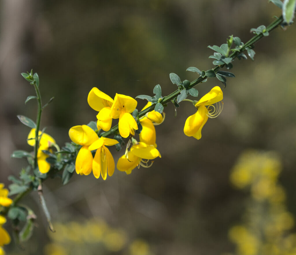
For the descent we could have simply retraced our steps, but the prospect of making a loop seemed more apealing and so we decided to make a small detour by passing by the beach of Maior-Louro which is just below. This return by the coast was beautiful! We were right in the gorse blooming season and ohhh it’s beautiful!
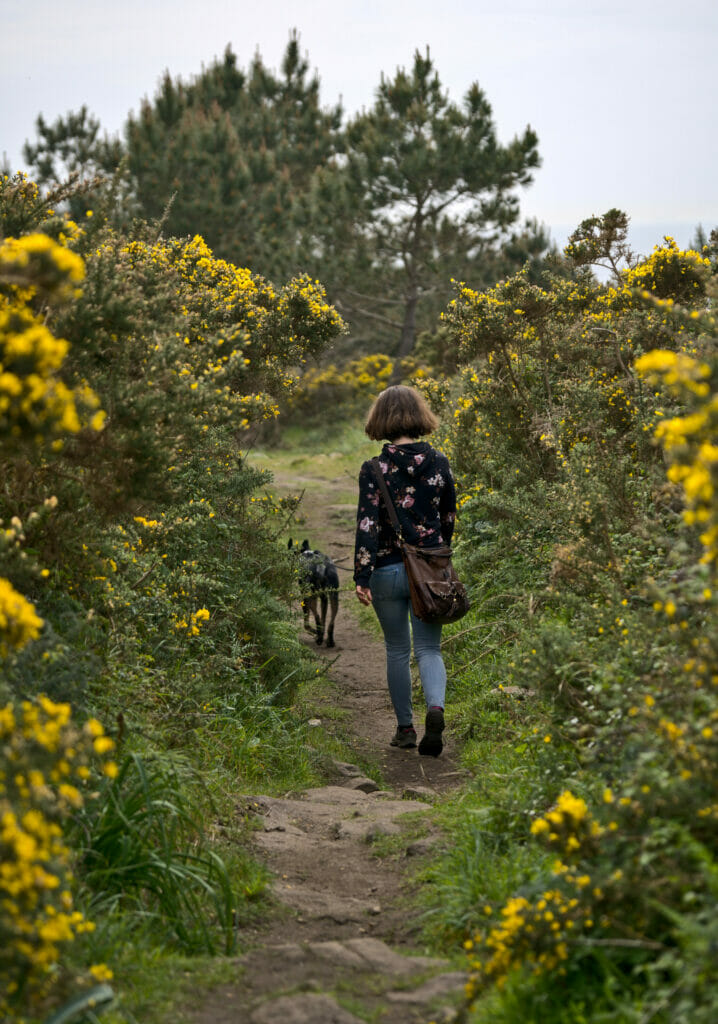
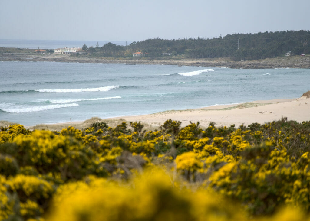
This little walk is relatively short (5,4km) and the difference in altitude is moderate. The top of Monte Louro is only 239m so it gives you an idea of the climb from sea level 😉
Take a look at the hiking map below
Note: Monte Louro is the first of the two peaks (where we stopped). A trail continues a few more meters to the next peak called Pico de Garita. We didn’t go there, but the view must be nice too.
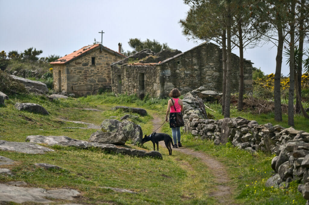
More pictures from this hike:

Did you get this far? Already bravo! Haha we confess that we have been quite talkative for this article of the Costa da Morte, but impossible to make a more limited selection on the things to see in the region. If you have other favorites between Malpica and Muros do not hesitate to leave us a small comment at the end of the article, that will leave us things to discover during our next road trip in Galicia 😉
Resources to prepare your stay on the Costa da Morte
- If you come to visit the Costa da Morte, it seems to us that it is essential to be motorized (or to have very strong legs to follow the Way of St. James). If you want to rent a car, as usual we advise you to compare prices on Rentalcars
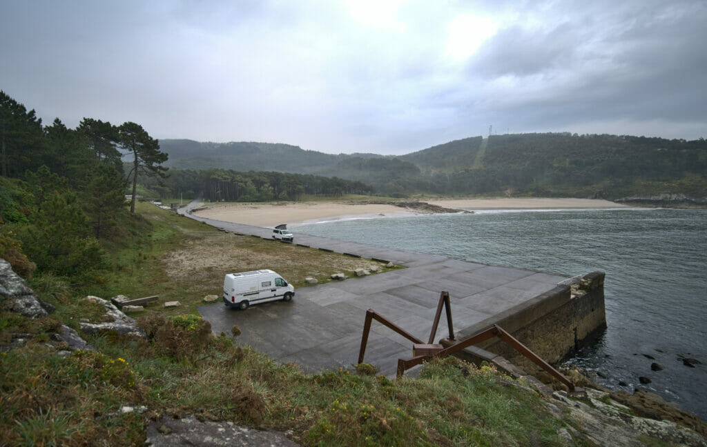
- Galicia is a region that can also be visited very well by van! Many service areas are available and there are many options to spend the night on beaches. To find places to sleep we mainly use the application Park4Night (as well as our common sense to ensure that we do not disturb either the wildlife or the inhabitants)
- If you want to rent a van for your road trip in Galicia you will be able to find vans from 60€ per day on Yescapa, a campervan rental website between private owners that also includes all the needed insurances. But you can also rent a van or an RV with a professional rental company like Campstar. If you want to have more infos about how to rent a campervan or a motorhome, you can also check out our comprehensive guide about that here.
- To choose our hikes we mainly used Wikiloc (there are a lot of routes in Galicia), AllTrails to draw our own routes and Maps.Me to load routes on it and access them offline.
- If you are looking for accommodation you can take a look at the map below. You will find hostels, hotels and vacation apartments. You can also have a look on Booking which has the largest selection of accomodations.
Note: Some of the resource links are affiliate links. By using our links you do not pay anything extra but we will get a small commission on your booking. All the services we recommend are ones we also use on our trips. Your support helps us to provide you with 100% independent and ad-free content. Thank you for your support!
Pin it on Pinterest
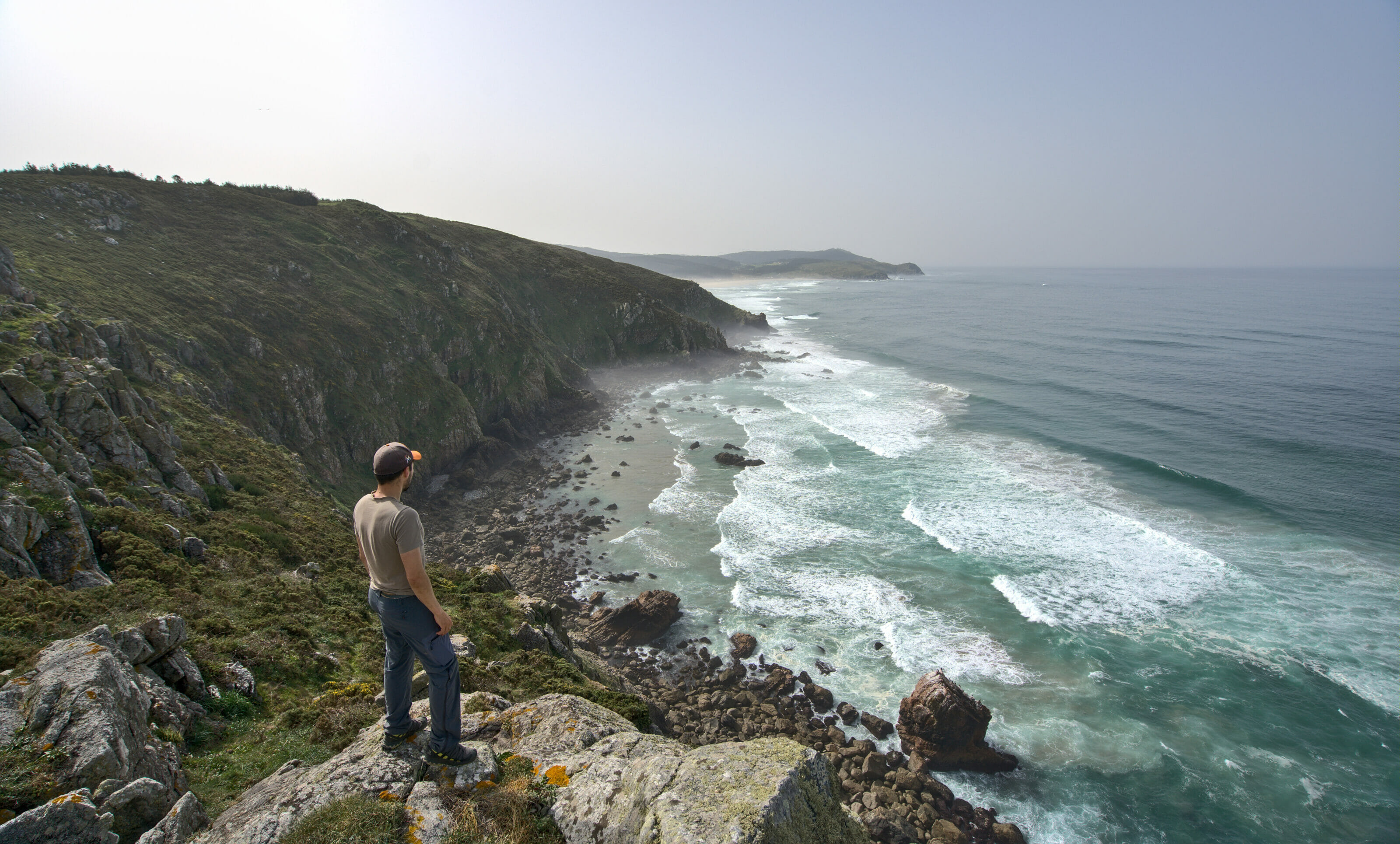
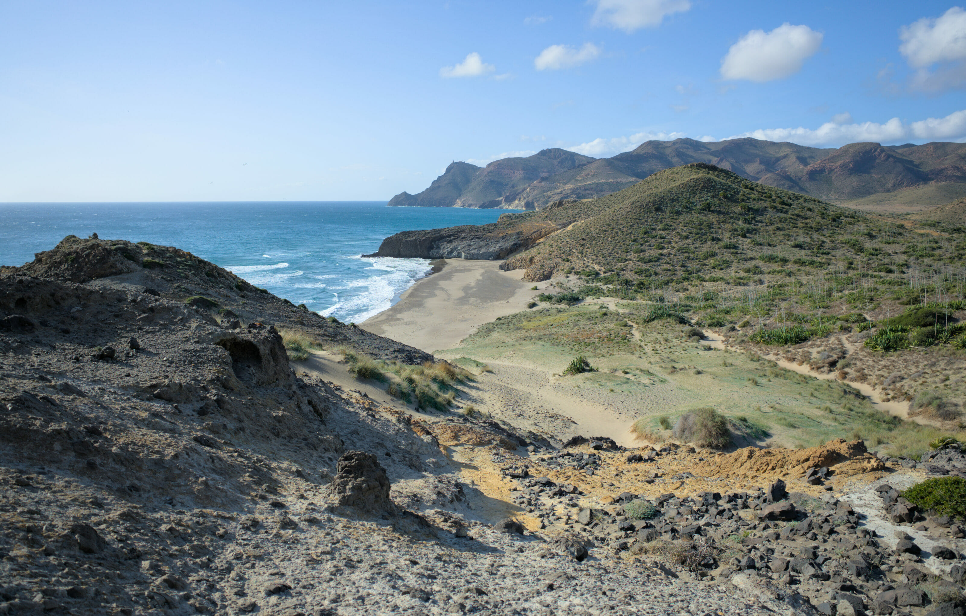
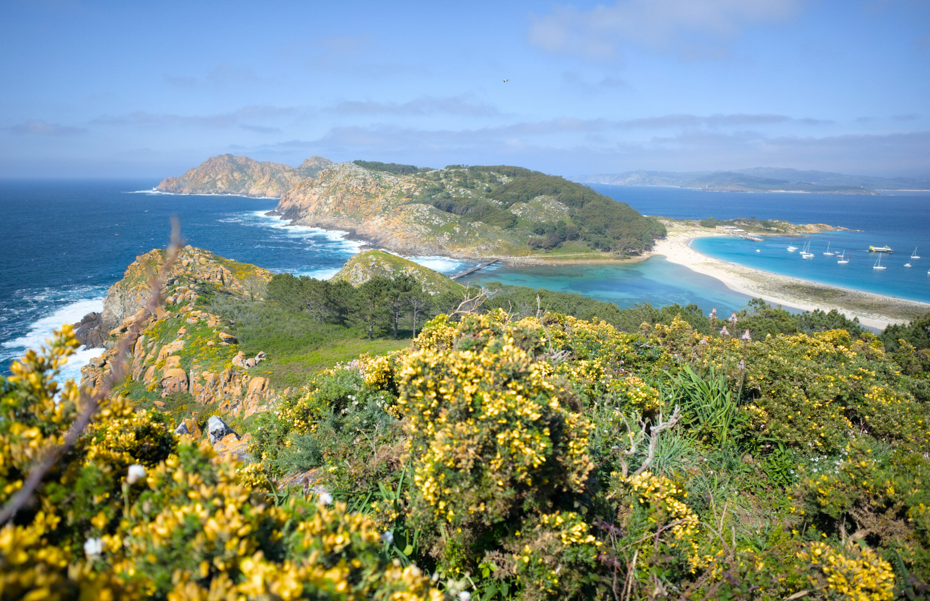
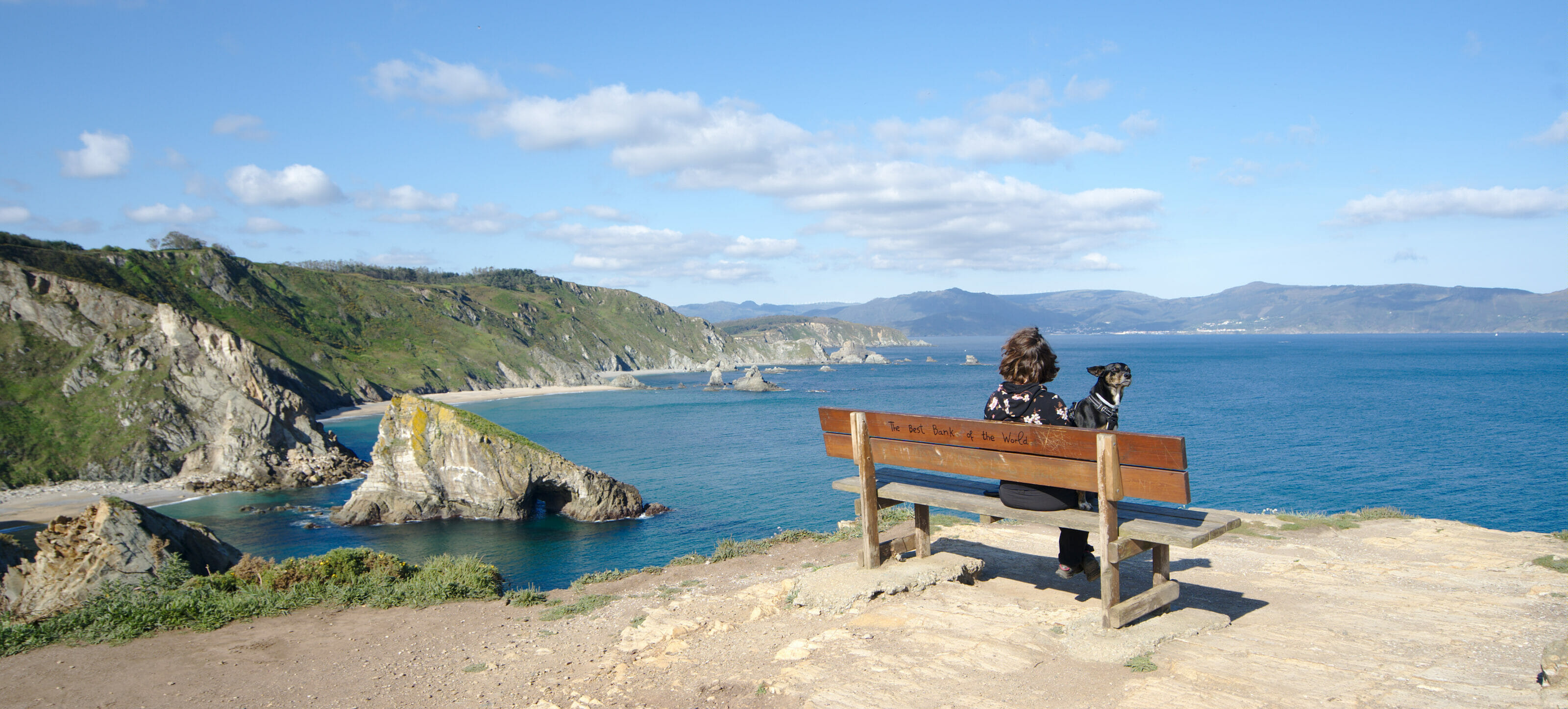
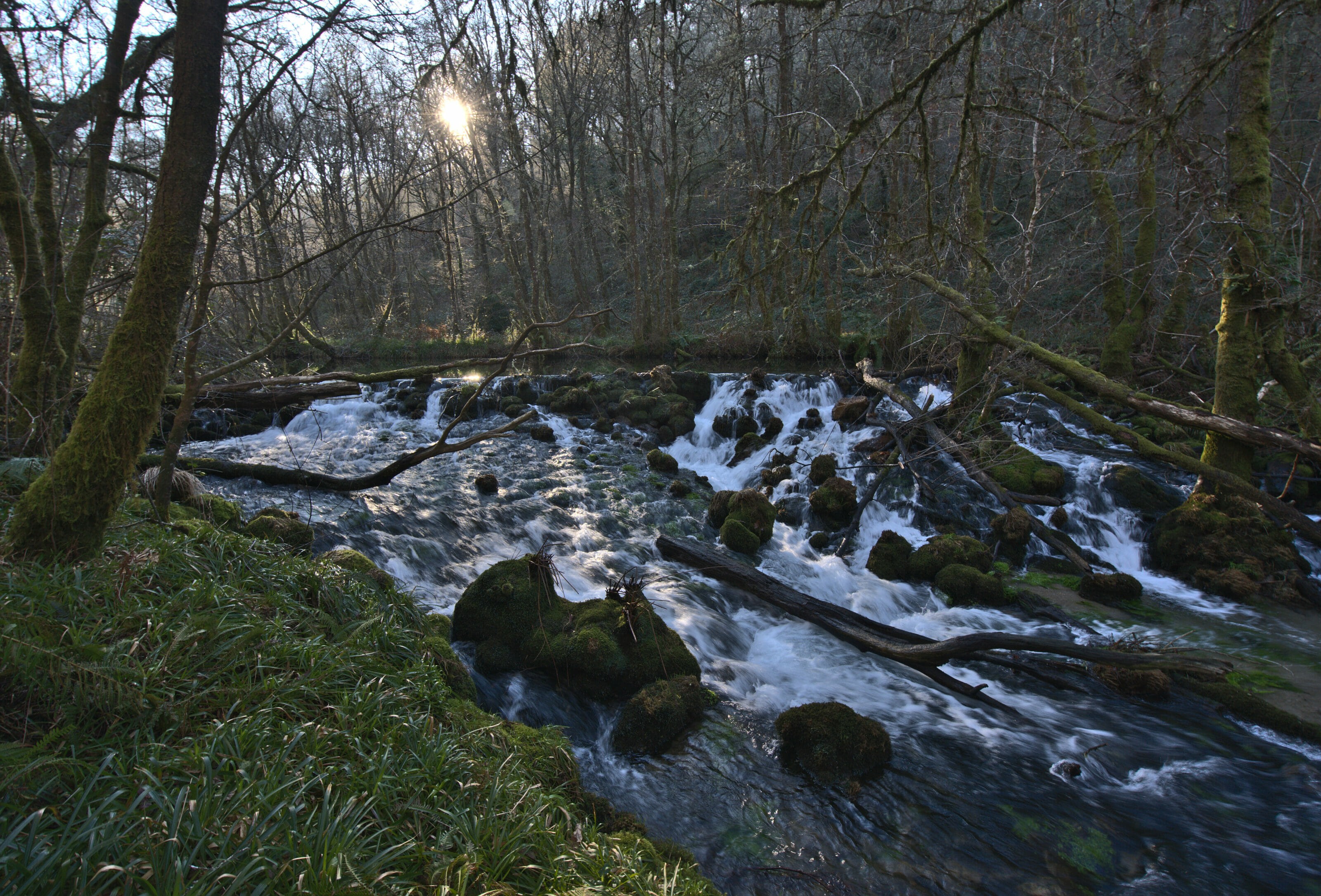
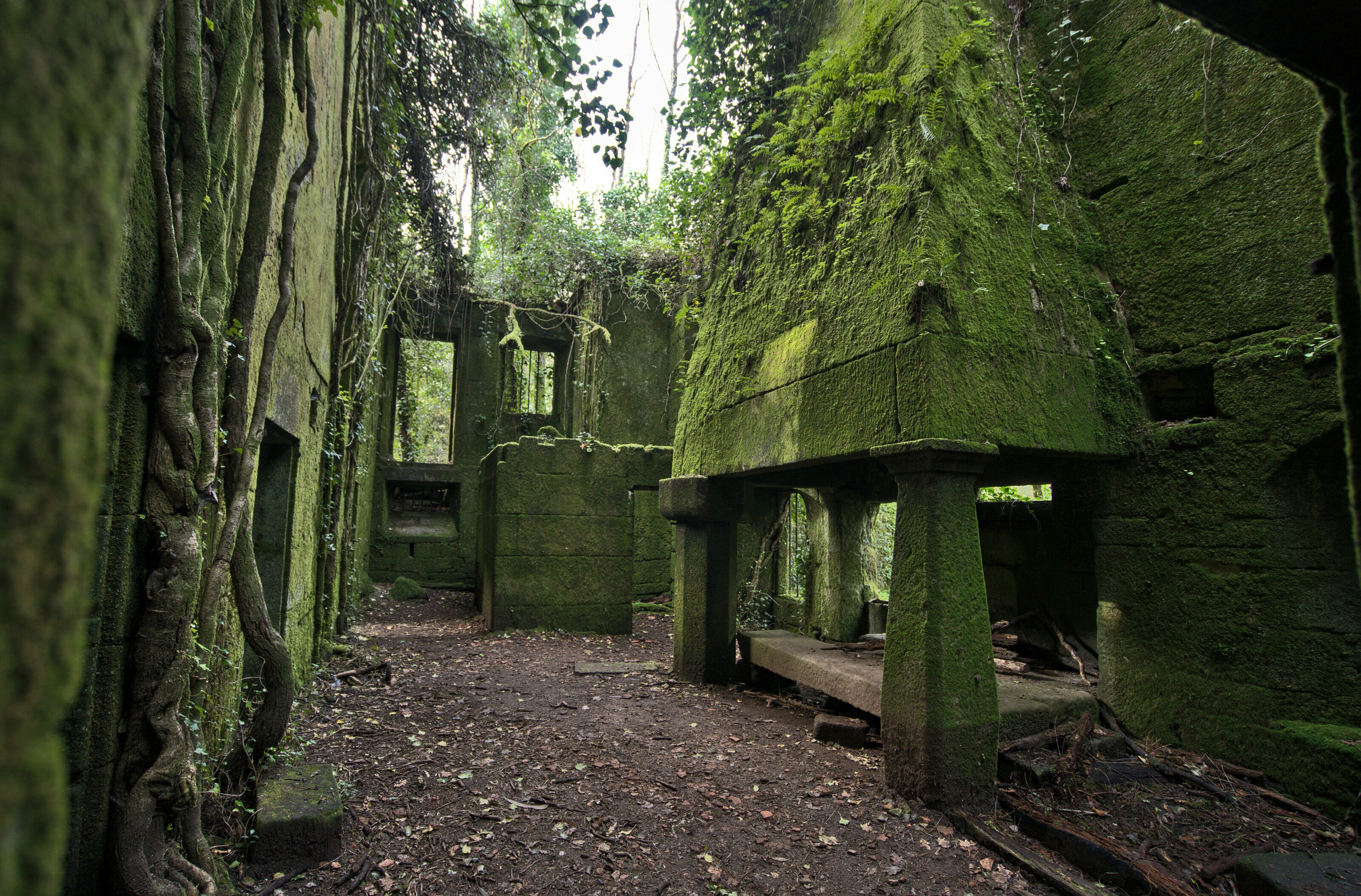
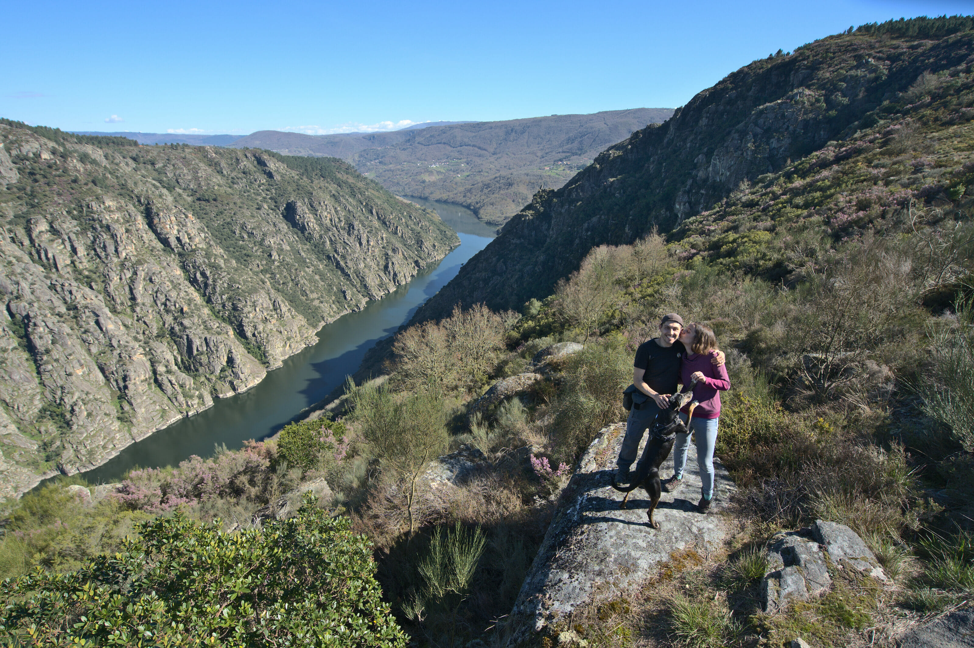
A Costa da Morte has a kind of scary name but nothing scary about it… It’s one of the most unique regions in all of Spain, not only because of the landscapes, but also because of the food and the people. Definitely worth a visit!