As the Rias Altas region was more or less on our way back to Switzerland from the Anceu coliving, we kept it on the side for the end of our trip. And what an end my friends!
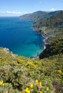
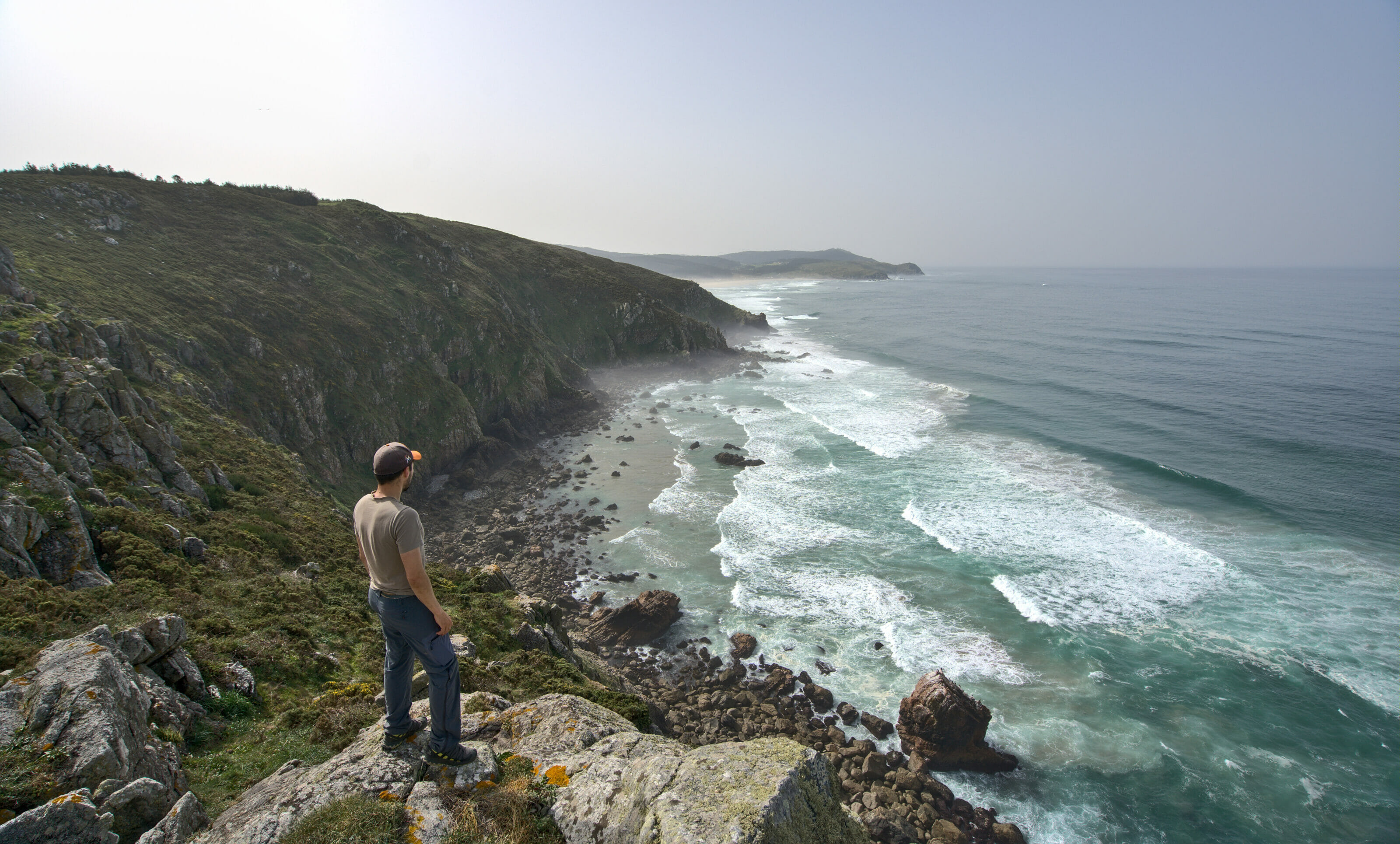
This area is incredibly beautiful and diverse. Huge cliffs, beaches and surfers, the color of the water that goes from turquoise to dark blue, sunsets from the van, hikes on the coast and inland… everything is there! Moreover, the north of Galicia is less urbanized and wilder than the south, around the rias of Vigo and Pontevedra or Catoira.
In short we really enjoyed our trip in the Rias Altas. We liked it so much that we stayed there for a good ten days, whereas we had planned to return to Switzerland in more or less two weeks. In the end, we stayed almost a month on the road and we came back to Switzerland in mid-May.
- Where and what are the Rias Altas?
- The natural park of Fragas do Eume
- Dream beaches and surfing between Ferrol and Valdoviño
- Monte Ventoso hike
- Vixia Herbeira (Garita de Herbeira): among the highest cliffs above the Atlantic
- the village of San Andres de Teixido
- The Cabo Ortegal lighthouse
- The Ria of Ortigueira
- The Loiba mirador and its “best bench of the world”
- The cute O Barqueiro harbour
- The footbridges of Fuciño do Porco
- The Roncadoira tip: its lighthouse and miradors
- The Moras harbour and its Dolos
- Pozo da Ferida: the most beautiful waterfall in Galicia?
- The cathedrals beach (playa de las catedrales)
- Our map of things to do in the Rias Altas
- Useful information to prepare a trip in the Rias Altas
Where and what are the Rias Altas?
As we already explained here, the rias are in fact the estuaries of the Galician coast. Besides, it is not specific to Galicia that they have been given little names. For example, in Norway they are called Fjords, in Scotland Lochs or in Brittany Abers. Here in Galicia they are simply called Rias.
The Rias Altas (literally high estuaries) are simply the estuaries of the northern Galician coast between the city of A Coruña and the city of Ribadeo on the border with the Asturias region. They are opposed to the Rias Baixas which are the estuaries of southern Galicia between the cities of Vigo and Noia.
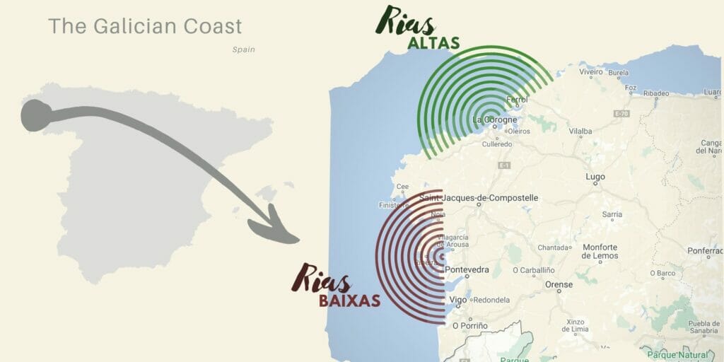
As I was saying, the north coast of Galicia is much wilder than its south coast… the fault, it seems, of a more unpredictable weather and a lot of wind which discouraged the Galicians to settle on this coast. So we were certainly lucky, but in 10 days we almost did not have a drop of rain and just a little bit of wind. So, we could discover the Rias Altas under their most beautiful aspect, especially as we were in low season and that there was not a single traveler (except 2-3 surfers here and there).
Below you will find all our highlights in the Rias Altas, in order, starting from the city of A Coruña and ending further east towards the Asturias:
The natural park of Fragas do Eume
Fragas do Eume is one of the 6 natural parks in Galicia and protects one of the best preserved Atlantic forests in Europe. This magical forest typical of Galicia is located along the river Eume, in a virtually virgin valley since only 500 people live in the park (which is 9000 hectares). Lost in the heart of this forest is the 10 century old monastery of Caaveiro, which radiates a rather mystical atmosphere.
I would say that we can divide the park in 2 parts: above and below the dam of the Eume river. Upstream of the dam, the valley is flooded by the river and this part is best seen from the upper edges of the valley. Further down, you can enter the valley from the small town of Pontedeume to hike along the paths that follow the river to the monastery and beyond. On our side we have tested both of course 😉
Camino dos Cerqueiros and mirador da Carbueira
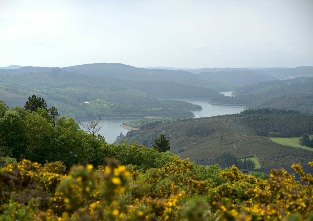
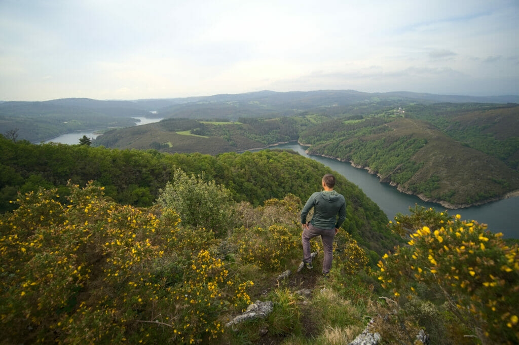
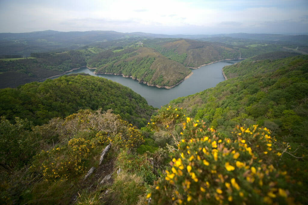
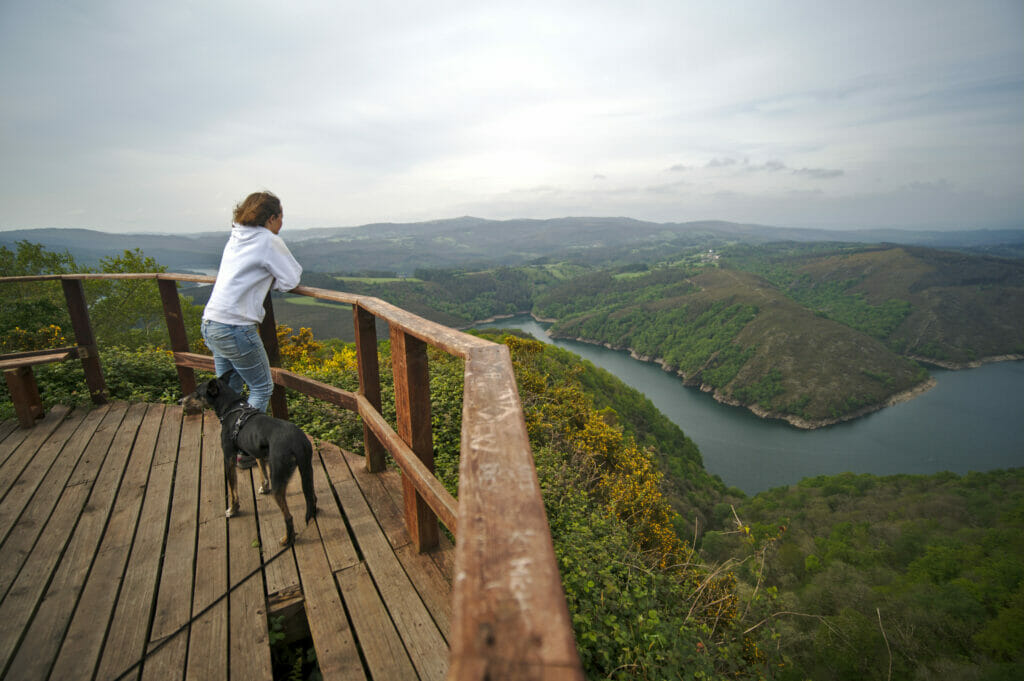
We had spotted the mirador da Carbueira on wikiloc (best app to find hikes ideas in Galicia… even if you have novo-monde now 😉 ). So when we arrived in the park we immediately decided to try the trail “dos Cerqueiros” which passes precisely by this beautiful viewpoint (it is one of the 7 marked trails of the natural park).
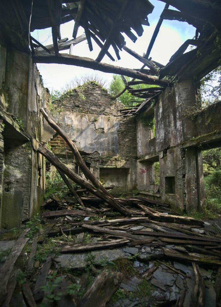
So we have to admit it, this easy 8,5kms route is nothing special. We follow a track in the forest almost all the way with sometimes some pretty clearings on the valley of Eume. But the main interest of the walk is located halfway. After a fork in the road on the left, we reach 2 old abandoned houses (there are many of them in Galicia). We continue by following the indications until the mirador da Carbueira that offers a breathtaking view on river Eume upstream of the dam. With this view, we were largely rewarded of our efforts to arrive there.
- Distance: 8.63kms
- Elevation: about 450m +-
- Difficulty: easy
- Duration: 2-3h
- Start: there is room for 2-3 vehicles at the start of the loop on the side of the road
The “Os Encomendeiros” trail and the monastery of Caaveiro
This is without a doubt the most famous hike in the Eume River Natural Park and not for nothing 😉 . This trail will take you along the river to the beautiful monastery of Caaveiro (our favorite so far in Galicia), which is literally lost in the middle of the forest. Well, this hike is not very difficult but there are 2-3 technical details to know before you start:
- There is a paved road that goes to the monastery and that follows the right bank of the river. But this road is closed during the holy week and the summer months for private vehicles (and forbidden to camping cars and vans). You can park at the entrance of the valley, at the point indicated as the beginning of the hike below.
- During these times when the road is closed, there is usually (outside Covid) a free bus service that connects the visitor center and the monastery. This is pretty cool because it allows you to walk the trail in one direction only without necessarily having to walk back and forth.
- From the parking lot, there are still 1.7kms of walking to do “on the road” before arriving at the footbridge that allows you to cross the river to join the path that follows the Rio Eume on the left bank to the monastery.
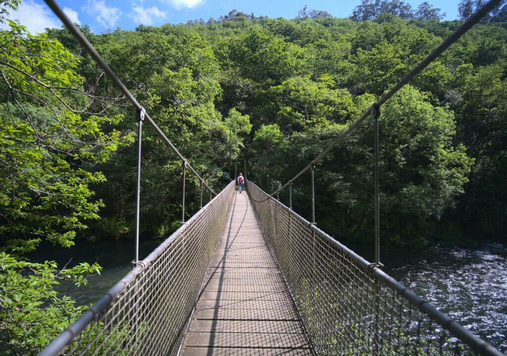
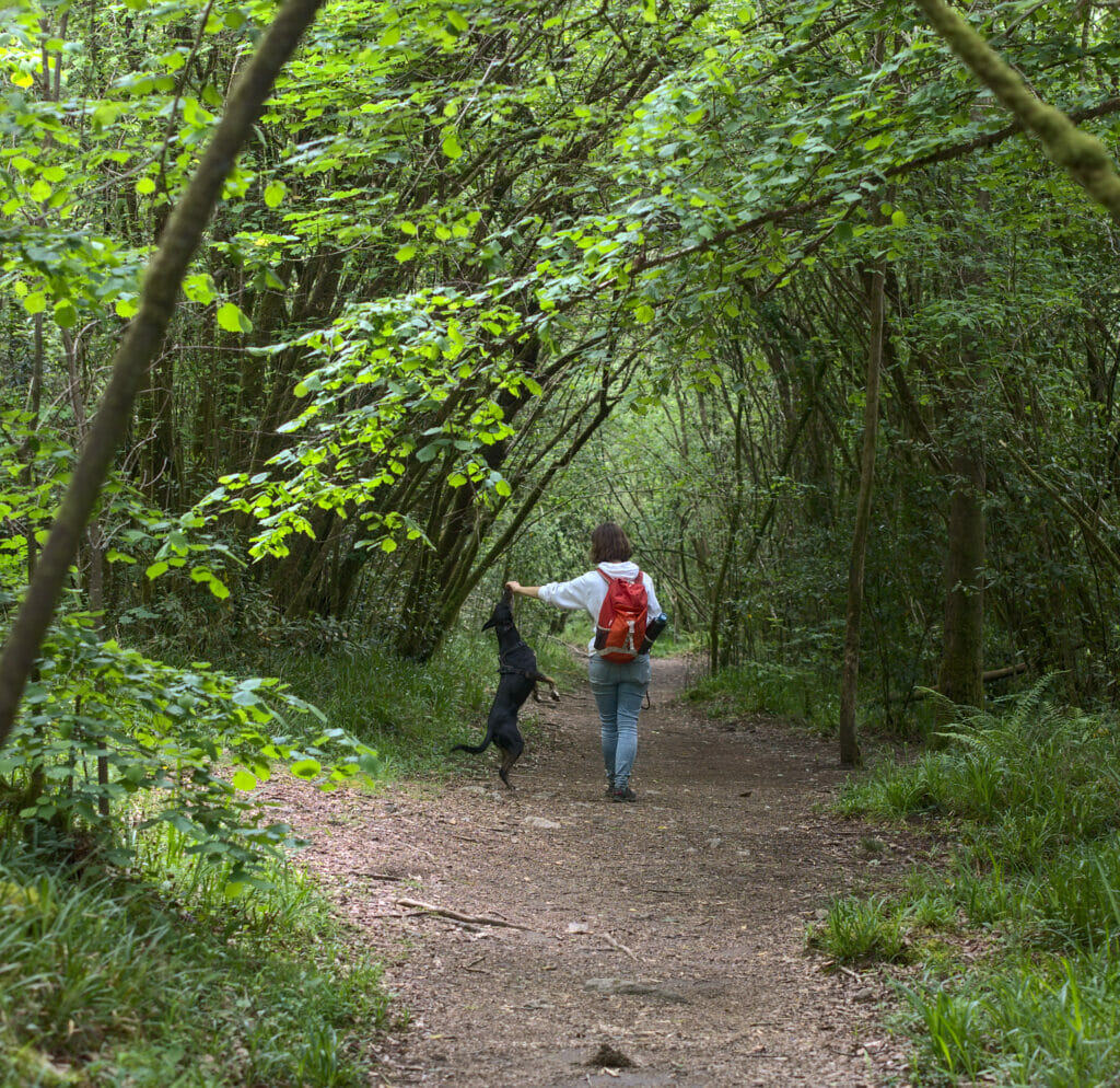
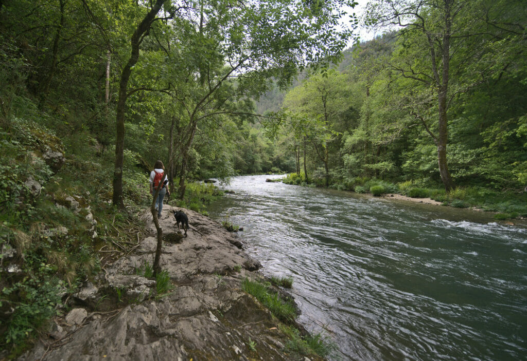
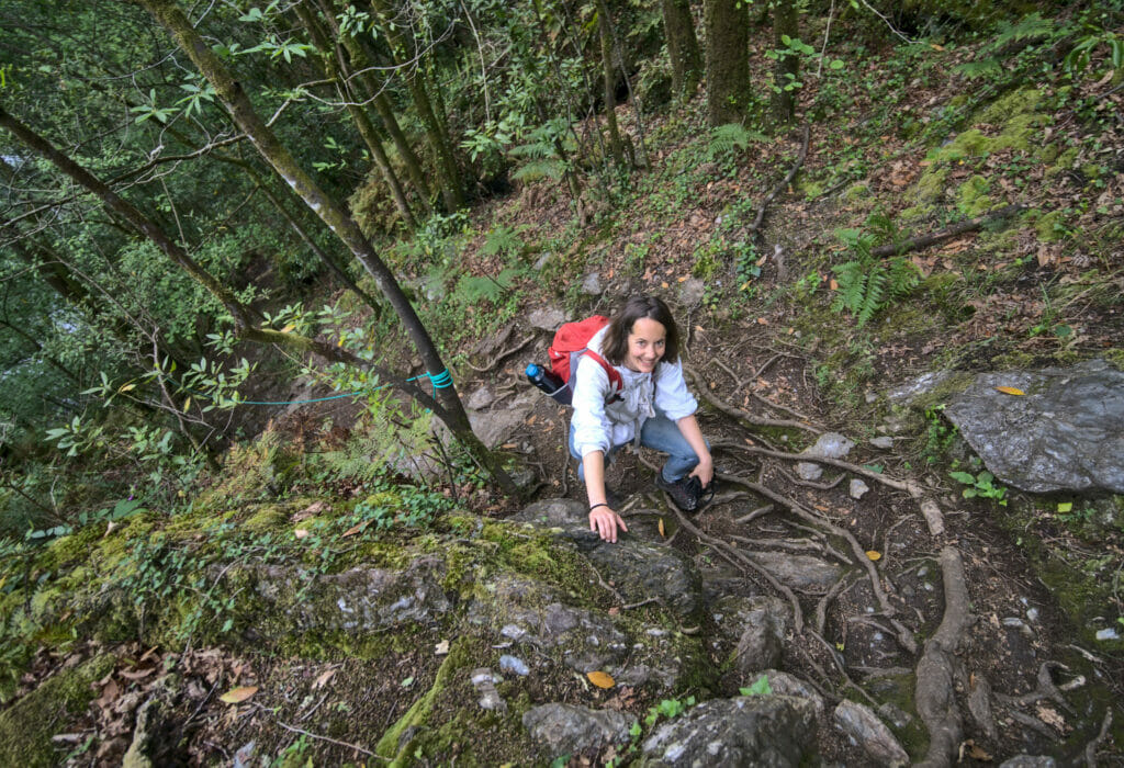
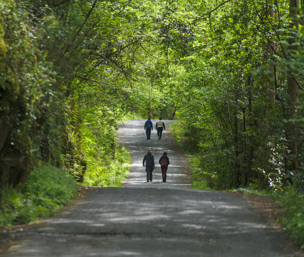
Well, on our side, as we were off season, we didn’t have too much of a choice that to hike everything ( we must admit, we would have certainly done it anyways 😉 ) . We have also combined this route and the following one to make a big hike. So we began by walking until the footbridge along the small road then we took the path on the left bank. There are 5kms of very pleasant walk along the river Eume in a magnificent forest to arrive to the monastery of Caaveiro.
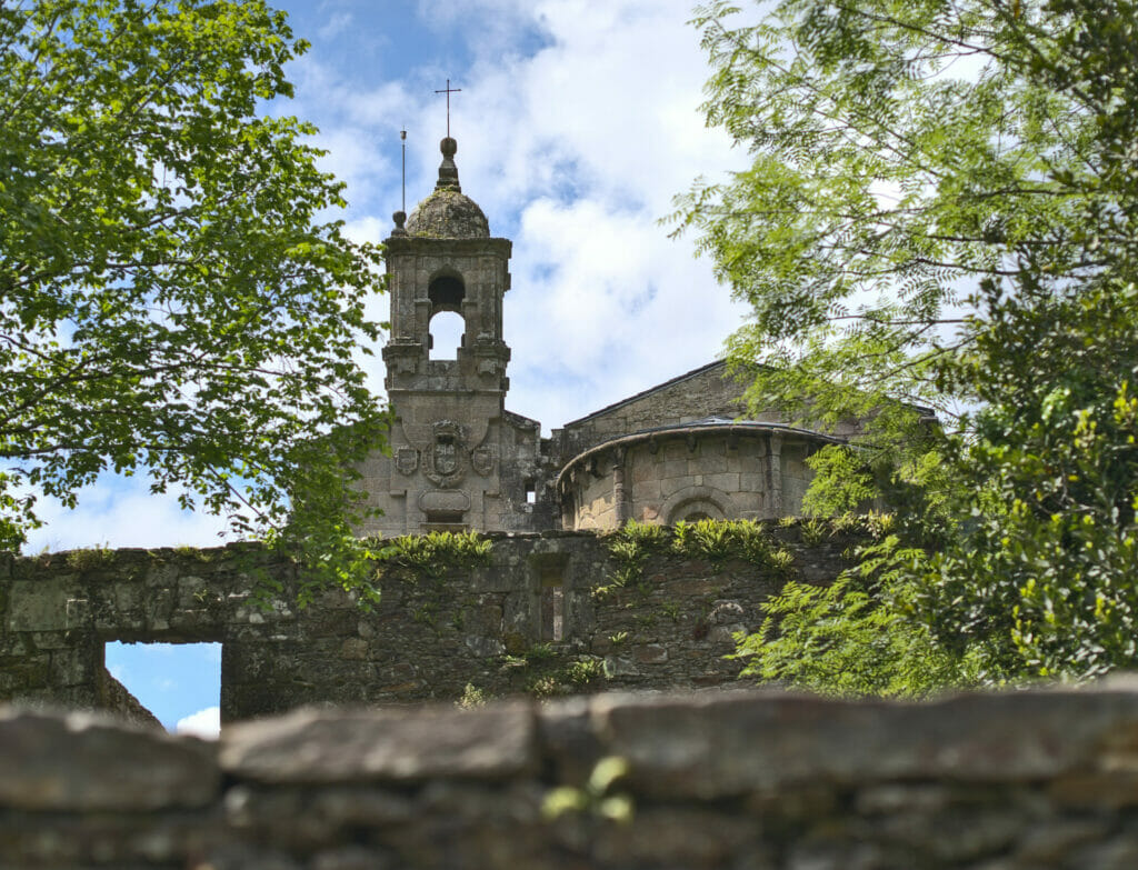
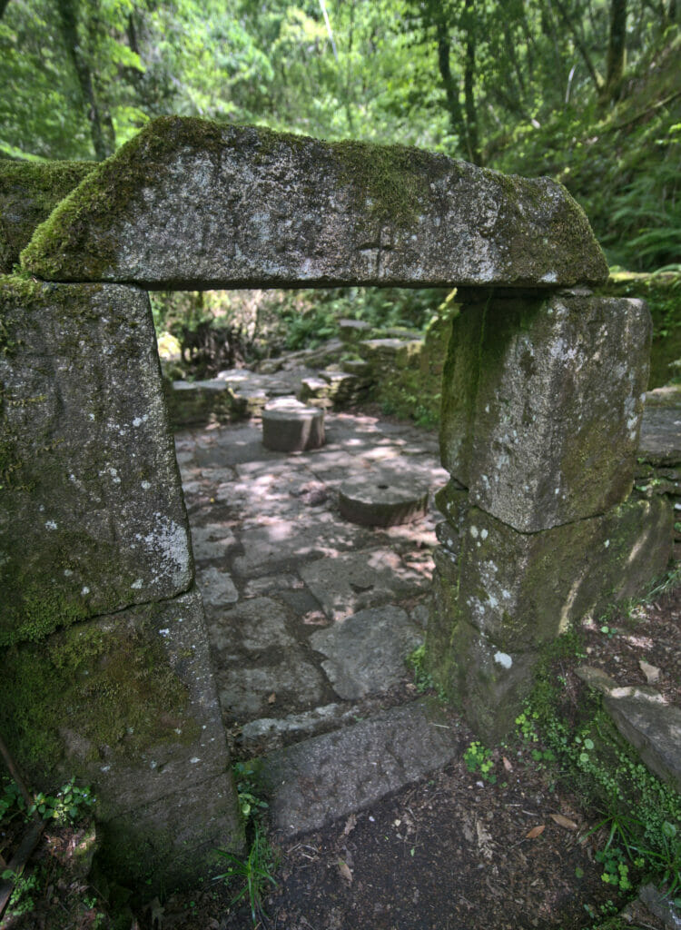
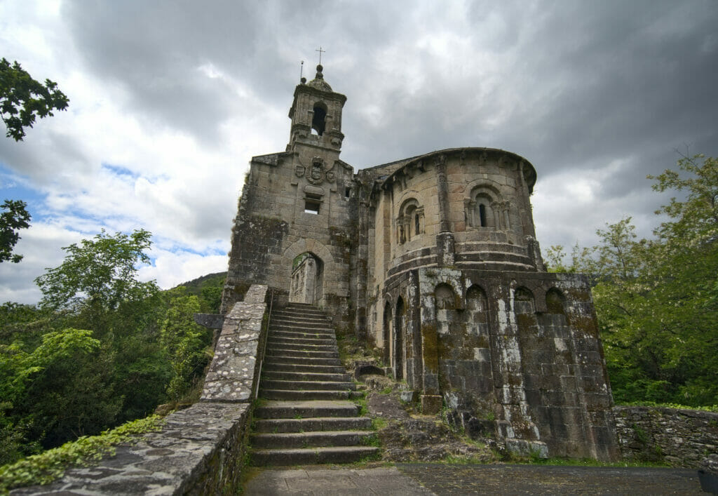
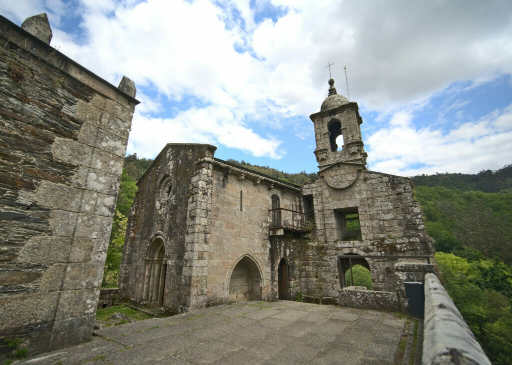
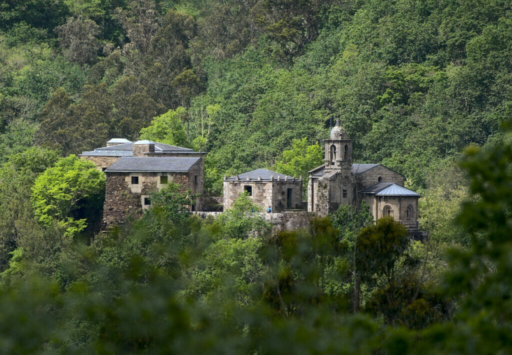
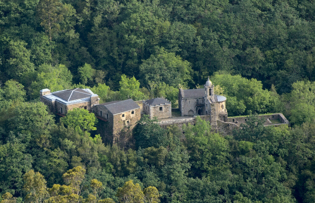
The monastery is really worth a visit! Standing on a rocky peak in the middle of the forest, we wonder how the monks had the idea to settle here. The monastery of Caaveiro dates nevertheless from the Xth century and was really well restored to keep the soul of the place. The visit is free and there is even an audioguide available if you wish. On the other hand, the monastery is forbidden to dogs and you will have to leave your pets at the entrance… It is besides there that we made the experience that Wichy was not yet ready to “wait” for us in front of a monastery. The poor animal must have thought that we were going to abandon him and it didn’t take 2 minutes for him to start howling of despair and eating his leash. Fortunately, we heard him quickly!
For the return, as we had also taken the “A Ventureira” trail, we chose the right bank and the road to come back faster to the parking lot. But we must admit that if there had been a free bus, we would taken it rather than walking 6,5kms on the road.
- Distance: 14,1kms (back and forth)
- Elevation: about 500m +-
- Difficulty: easy – medium (if you hike everything, it’s a bit long)
- Duration: 4h
- Start: The parking is located after the visitors center just before the sign that forbids access to the road to motor homes. If you are looking for the opening hours or the bus schedules and dates, you will find all the updated information on this page.
The “A Ventureira” trail to the old power plant
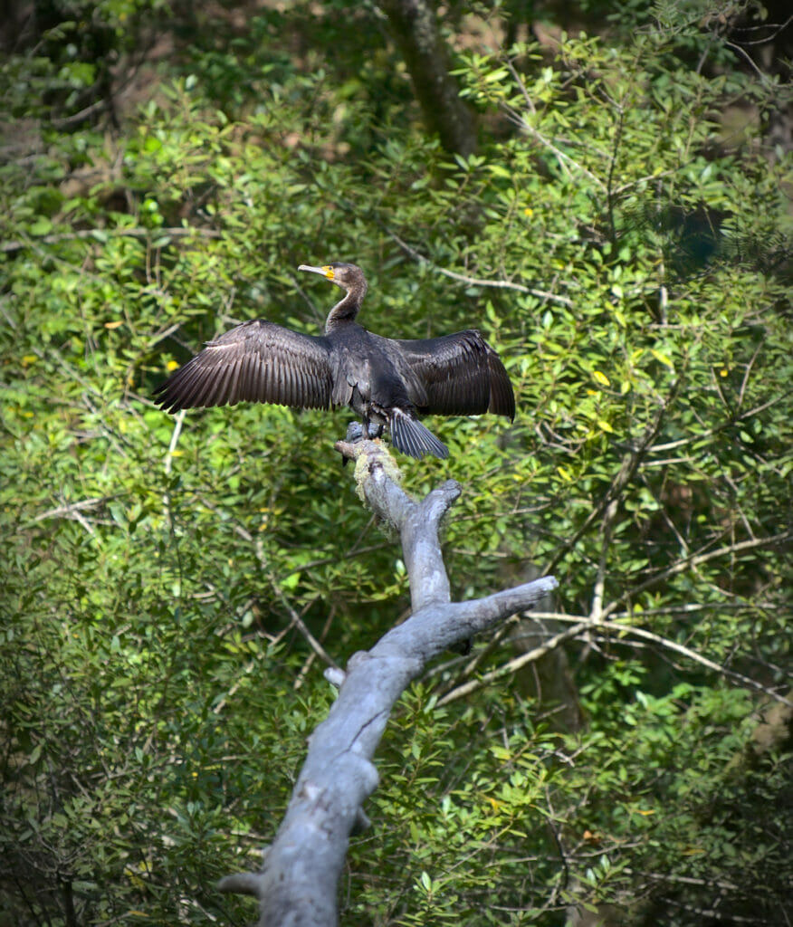
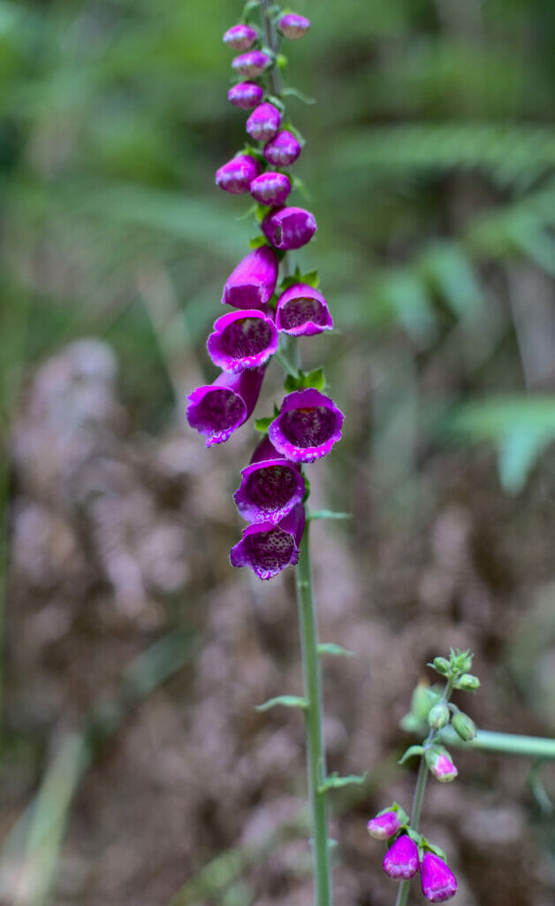
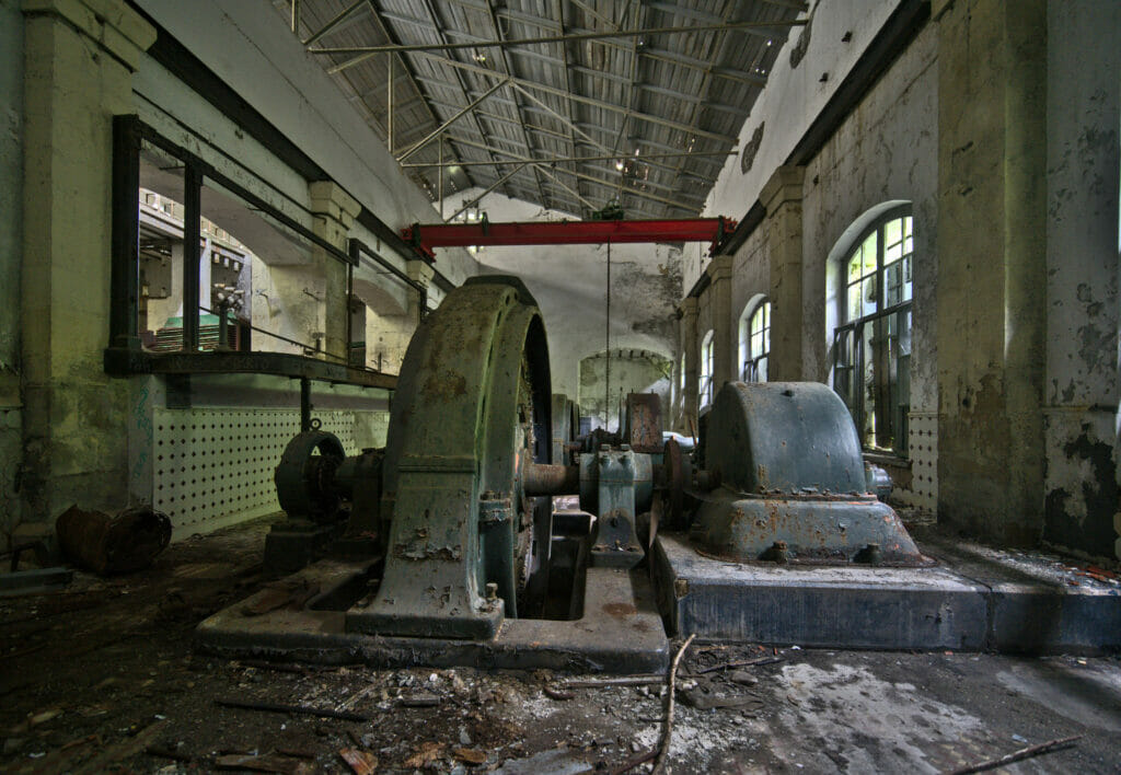
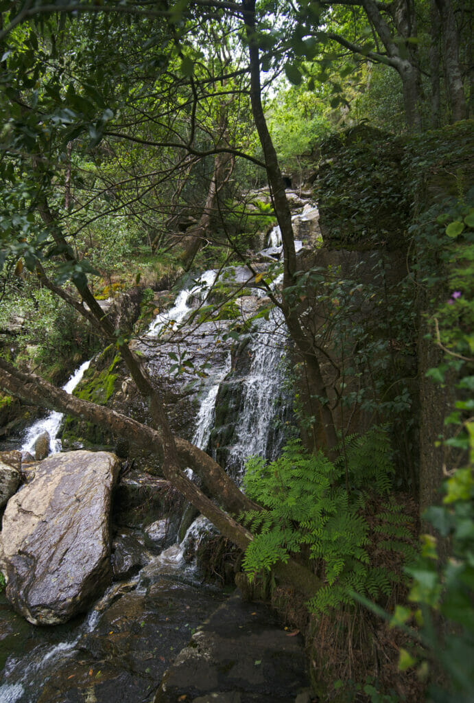
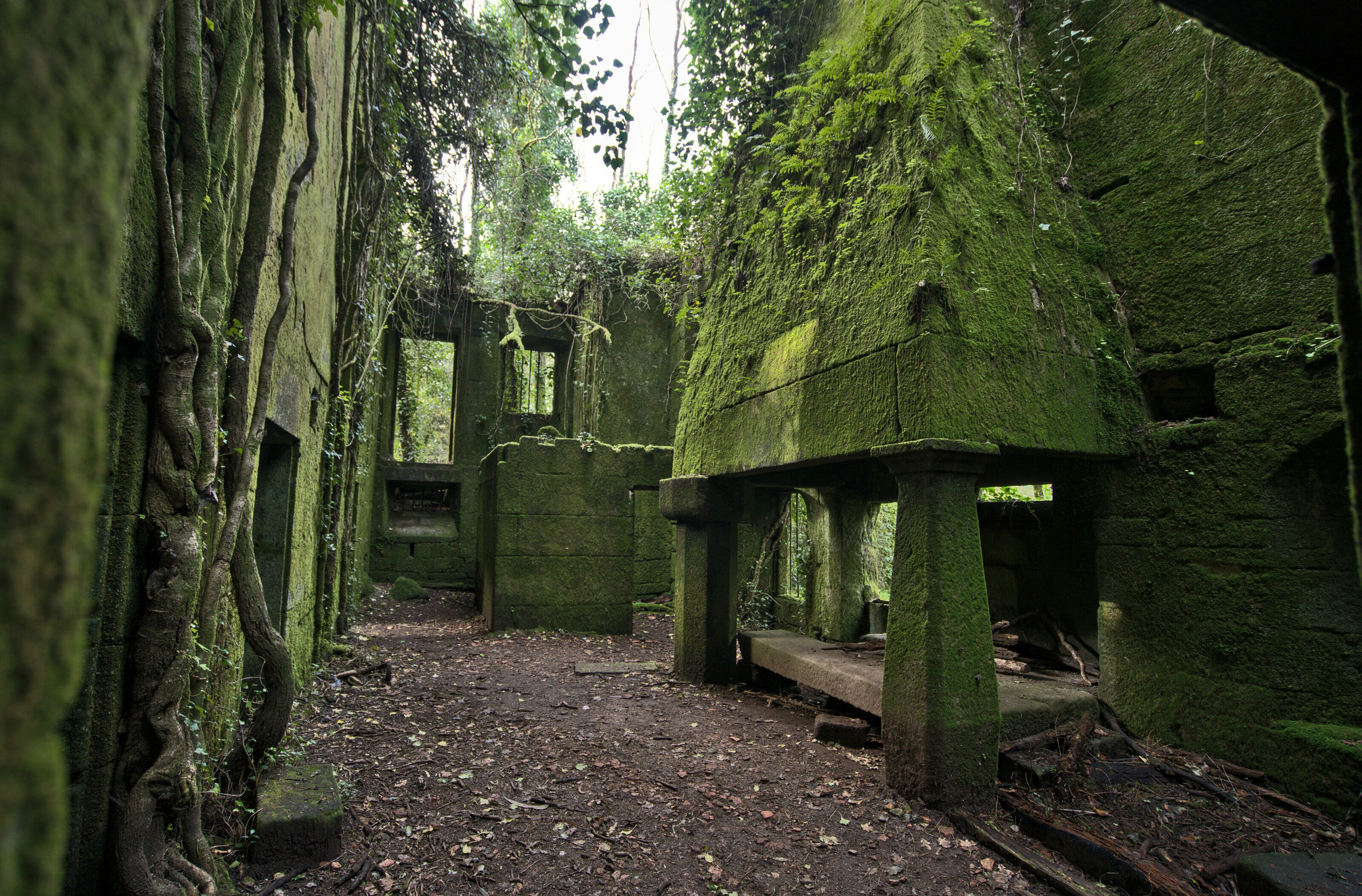
As I said, if you are in a sporty mood, you can add this nice little 6-7kms loop that starts at the monastery of Caaveiro. It will first take you above the left bank of the river with some nice views of the monastery from afar (this is where you really realize that it is really lost in the forest). The itinerary then goes back down to the riverside where there is a nice waterfall and an old abandoned electric factory (for the urbex fans). A nice path then returns gently along the right bank of the river to complete the loop at the monastery.
- Distance: 6,8kms (back and forth)
- Elevation: about 300m +-
- Difficulty: easy
- Duration: 2h
- Start: The departure of the hike is located at the monastery of Caaveiro which is accessible by free bus during the tourist season or on foot otherwise. All the information on the dates and schedules of the bus are here.
Ces deux itinéraires peuvent donc se faire séparément. Mais si comme nous vous décidez de les combiner il va falloir prévoir une bonne journée de marche. 🙂 En combinant les deux itinéraires, cela nous a fait une rando d’environ 22km et nous avons mis environ 7h pour effectuer le parcours (en comptant la visite du monastère et les pauses photos et pique-nique)
Mirador de Caaveiro loop from the camper park
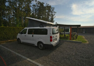
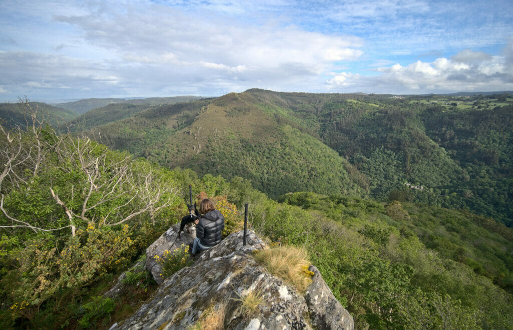
On the top of the natural park Fragas do Eume, there is a great station for vans and campers where we stayed 2 nights to explore the park. The owner of the place has understood everything and has created several nice hiking itineraries starting directly from the camper park to explore the surroundings. So, we took advantage of our last morning there to make a small loop until the mirador of Caaveiro which is really well named because we can see the monastery from above.
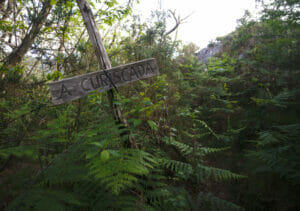
The hike is well marked. Only the access to the mirador is not so obvious. You really have to go down into the trees and climb to the right on the big rock that is behind a wooden sign indicating “a curiscada”. The view from there is splendid and we can see the monastery coming out of the forest below us.
The trail then returns to the camper park, this time taking a path on a nice ridge that dominates the surroundings. In short, a very nice and easy hike with nice views directly starting from the camper park. Thanks to the owners of the place for creating this nice trail.
- Distance: 5,5kms
- Elevation: about 200m +-
- Difficulty: easy
- Duration: 1h30
- Start: The departure of the hike is at the Eume natura camper park on the upper part of the natural park
Dream beaches and surfing between Ferrol and Valdoviño
With the Covid, we had hardly met any travelers since we arrived in Galicia! Well, it’s when we reached the coast north of the ria de Ferrol that things started to change a bit. The beaches in this part of Galicia are absolutely beautiful, wild and apparently very good for surfers. So on our side we are not big surfers (even if we already tried in Tenerife and Lombok), but it was nevertheless cool to meet finally some travelers to chat a little.
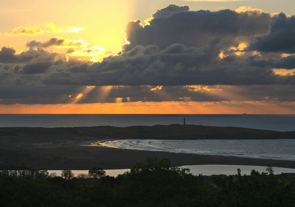
Moreover, as we also had some work, we found the best camper park of our short “vanlife” career. We parked our van in Frouxeira camper park, in the upper part of Valdoviño. From there, we had an incredible view from our “office”, a good internet connection, modern facilities and the local baker who came every morning to deliver us croissants… the ultimate luxury! So, even if we didn’t go surfing, we stayed 3 nights in this little paradise to work and discover the most beautiful beaches of the area.
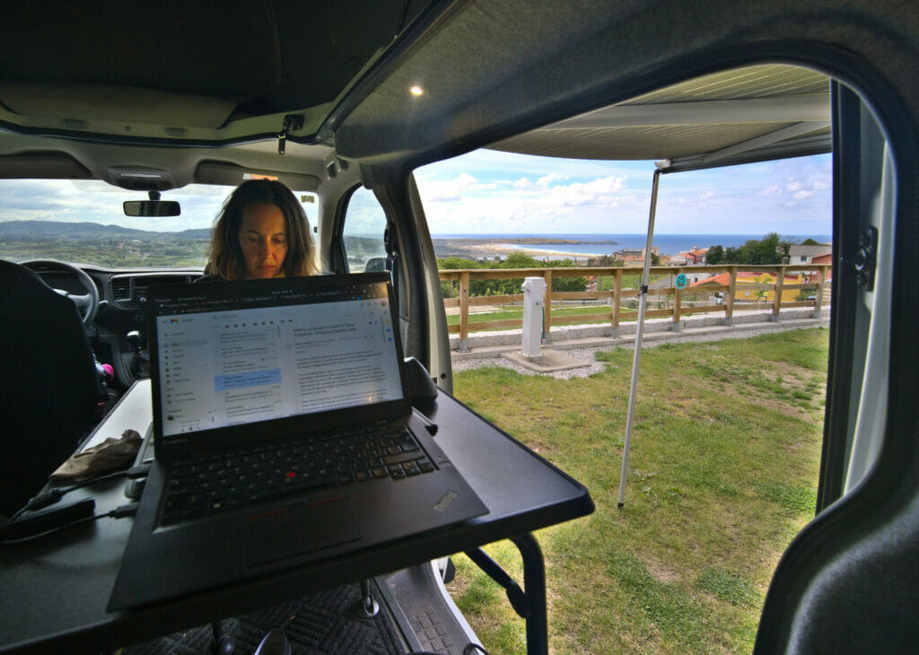
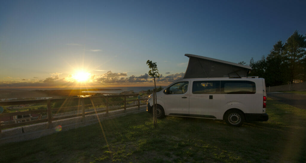
So maybe it surprises you but we don’t do only wild camping with our van even if we are completely self-sufficient in energy (thanks to our great electric installation). First of all, it’s good to have a good hot shower and toilets at disposal from time to time. It’s also cool when we work to be able to settle down with the roof up, the table outside without having to wonder if we really have the right to be there.
But the main reason is that wild camping is simply forbidden in natural parks like Fragas do Eume but also in many other places in Spain (like some beaches, parking lots or other places where you could easily park your van). The thing is that the “vanlife” is really popular and that it creates all kinds of problems (poop and toilet paper everywhere around the spots, waste, noise pollution for the locals and the animals, traffic jams on the access roads to the spots etc…) which take huge proportions in high tourist season. In our opinion, part of the solution will come with the development of this kind of cheap infrastructures (around 10€ / night) especially designed for vans and campers. So, even if it’s a little bit less #VanLife than camping on the beach (even if the Valdoviño area is not much better than a spot in the middle of nowhere), we are fond of this kind of place and we hope they will become more and more frequent in the future!
On this small side note, let us go now to our favorite beaches in this small piece of paradise of the Rias Altas of Galicia (Note: we did not try to discover all the beaches either so it is possible that we missed some right!):
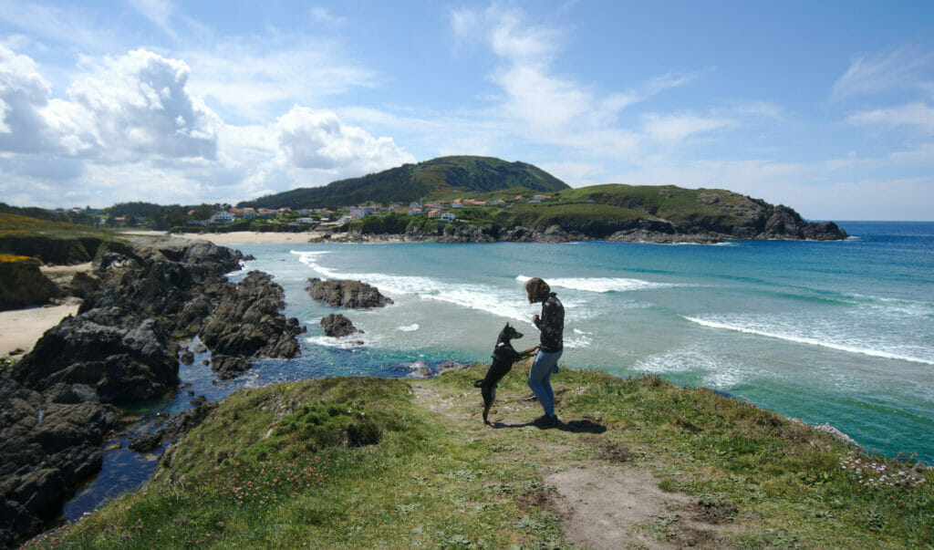
The Campelo beach and its surroundings
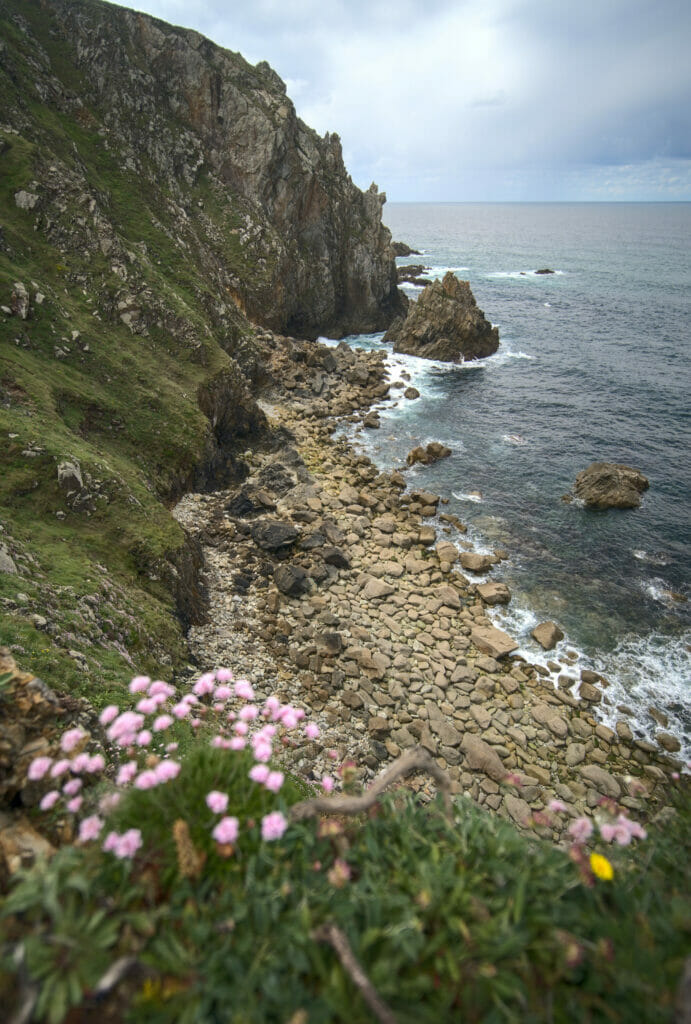
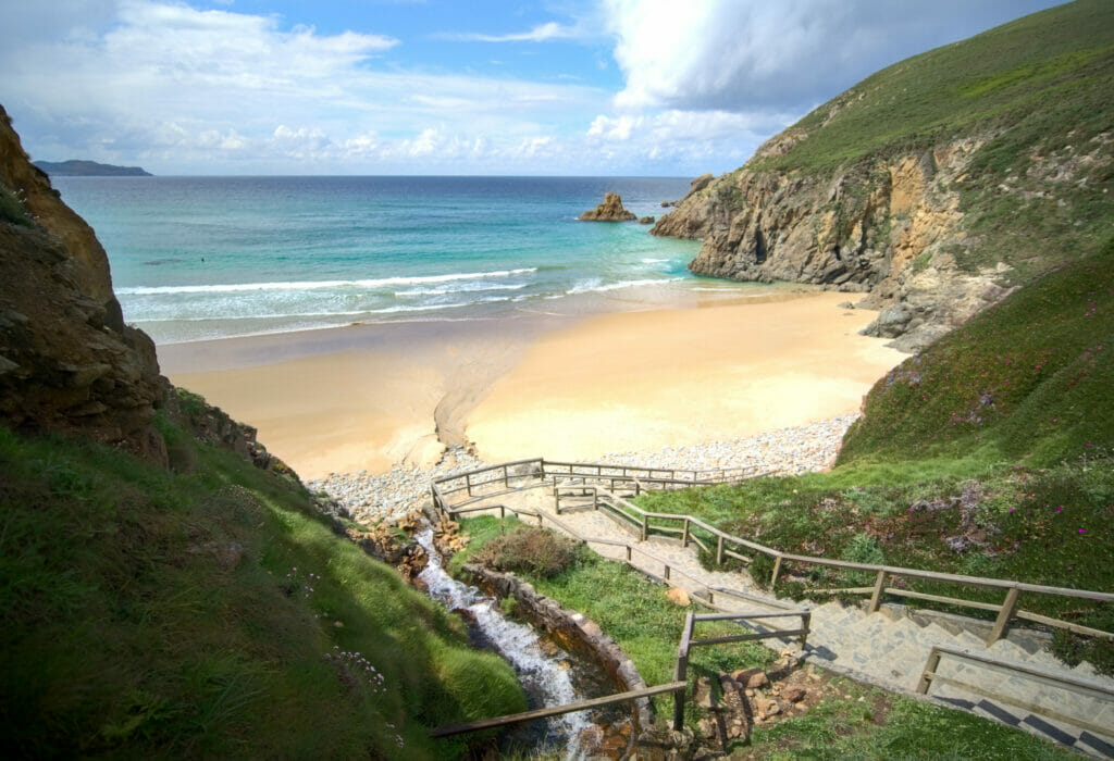
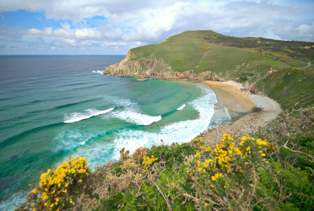
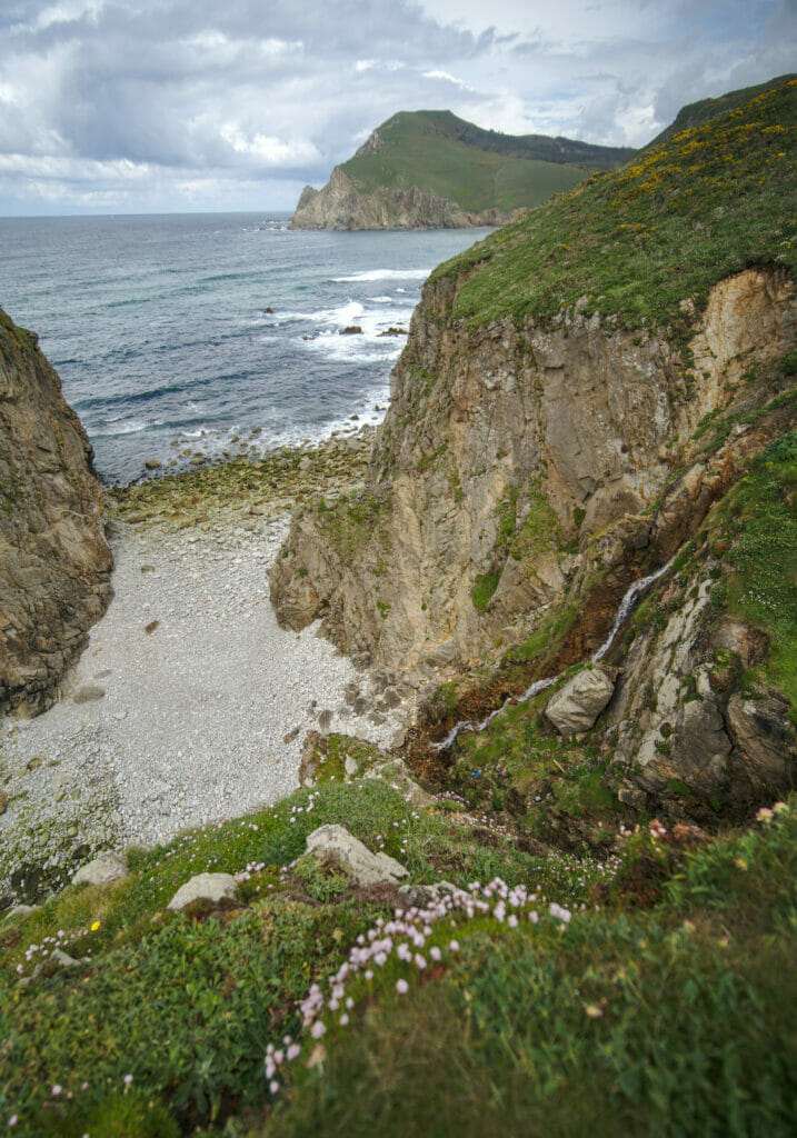
This one we discovered completely by chance while looking for a place to go for a quick walk with the dog #ThanksWinchy. It’s a bit like the perfect beach from the movies in fact… a small staircase that goes down to the beach, a waterfall of fresh water to take a shower after the swim, some surfers waiting for the perfect wave and the color of the water that goes from turquoise to dark blue. The only problem is that we are still in the Atlantic Ocean and the water must be around 13 degrees in spring.
From there, we also walked a little bit on the coastal path of the costa Artabra till the cliffs of the Lopesa beach. It is possible to go down on this beach (and to go up on the rock in front of it) with the help of an installed rope but it is not made for everybody 😉
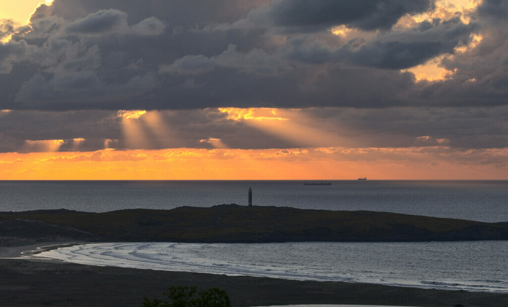
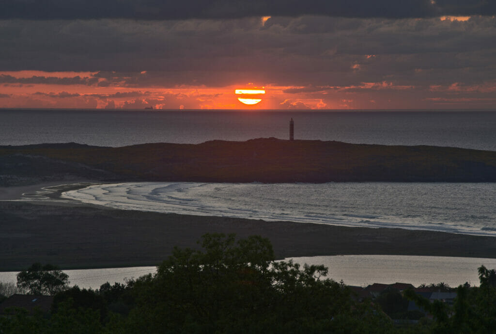
The Frouxeira beach and its lighthouse
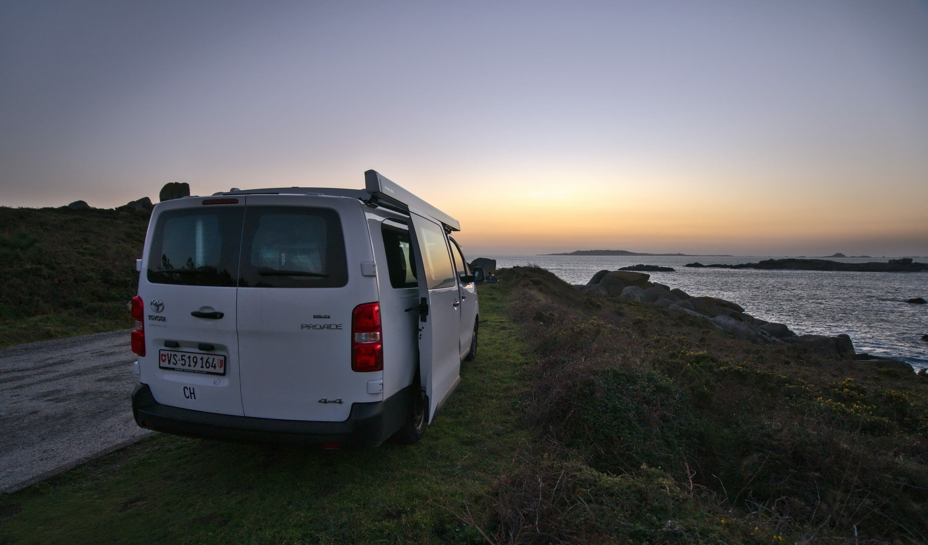
It is the beach that we had just in front of our eyes since the camper park of Valdoviño with incredible sunsets. Then certainly the lighthouse and the beach are also magnificent from up close but frankly, our favorite sight remains the one from the van at sunset with a beer 😉
Do Rio beach
One could easily miss this group of small beaches which are located not too far from the lighthouse of the Frouxeira tip. Maybe that’s why they were completely empty at the time of our visit. However there too, white sand and turquoise waters are there… we would just need the water to be a bit warmer to be almost in Tahiti 😉
Doniños beach
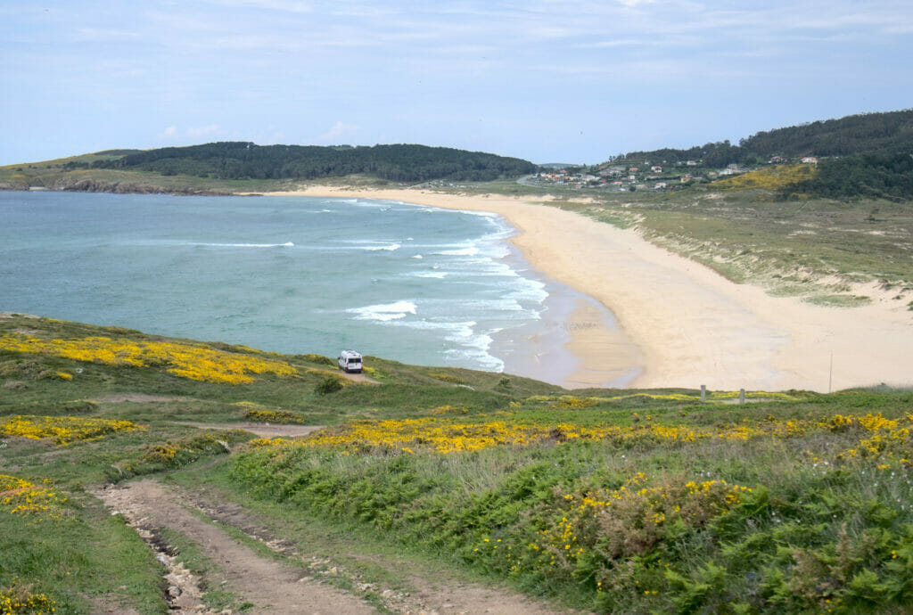
We finish this small beach tour in the area with the Doniños beach further south. This long sandy beach is apparently a great spot for surfing… and considering the size of the beach, there should be room for everyone. Frankly, when we came to walk here, we were a little bit jealous of the spot that these German travelers had found for their van 😉
Monte Ventoso hike
The Ventoso mountain overlooks the Doniños beach and is also the highest point of the whole Artabra coast. It was enough to motivate us to do a small hike to explore the surroundings. We park on the small parking lot of the Valverde bar and we begin by going down to walk along the beach. Once at the end of the beach, we pass behind the van of the Germans we just told you about to go up a little through the gorse. By places the path is a little narrow and Winchy complains… well yes, the gorse is very pretty to look at but especially it stings and our doggy does not like to touch it!
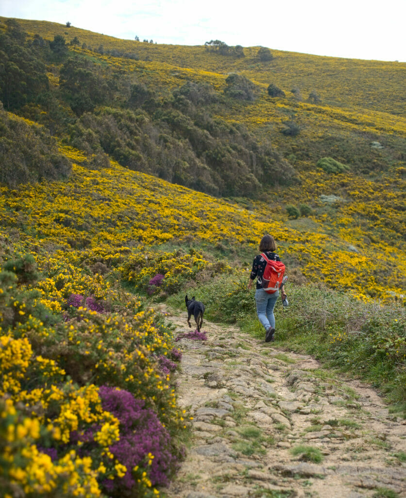
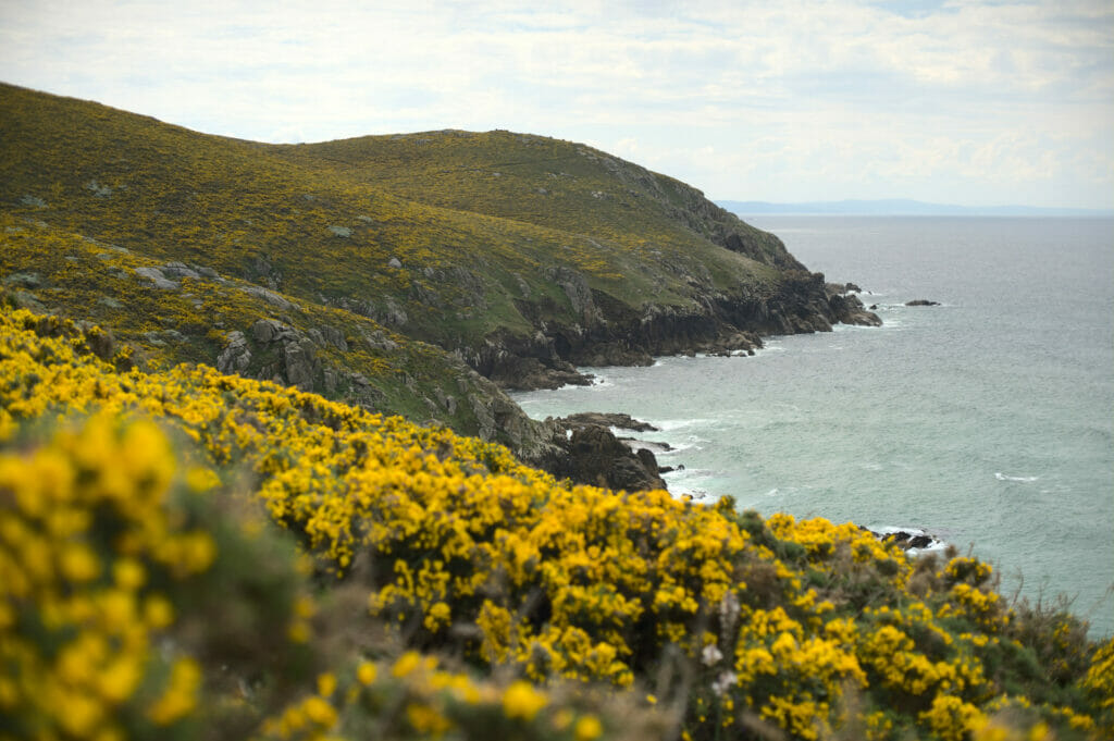
Nevertheless, we keep going for 2-3 km until we reach the old batteries of Cape Prior, which date from the beginning of the 20th century and protected the naval base of Ferrol. Even though the batteries have been disarmed, we can still enter the buildings to explore these old military infrastructures. From there we can also see in front of us the city of A Coruña
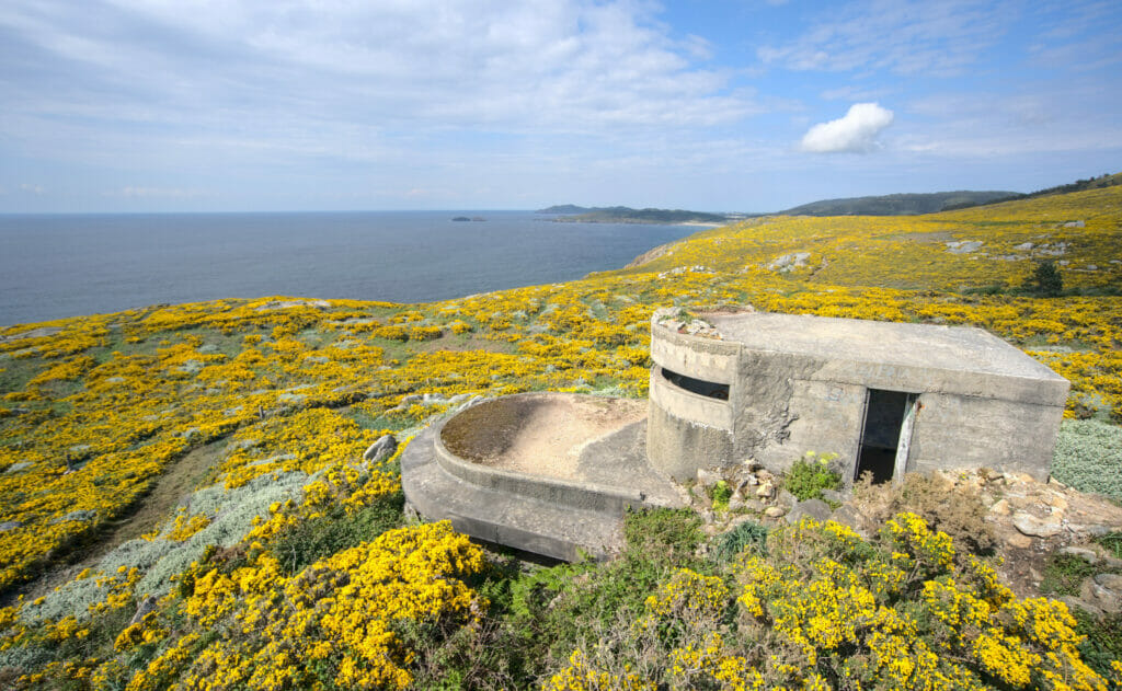
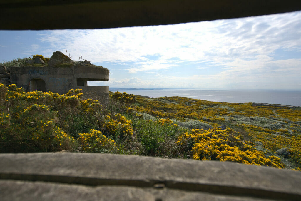
We then continue our walk until the top of the Ventoso mount which offers an absolutely spectacular view on the Doniños beach and its lagoon just behind. At the top there is also an abandoned military building that was used as a meteorological station. Today there is not much left of it except for some graffiti and the walls, but the view from up there is definitely worth the trip!
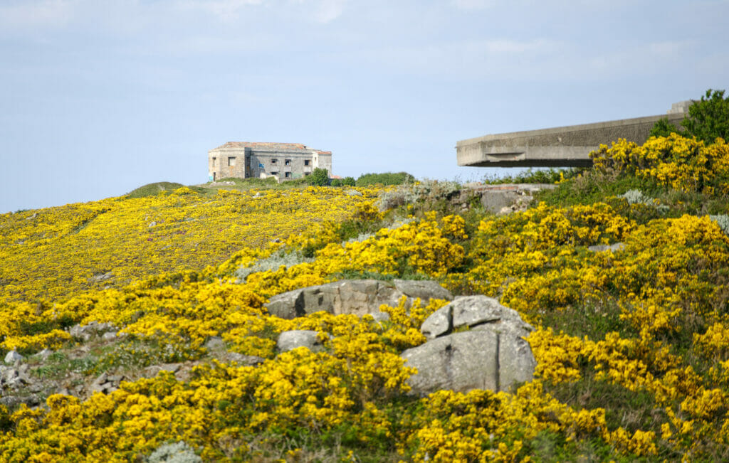
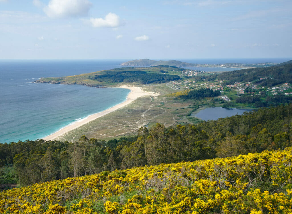
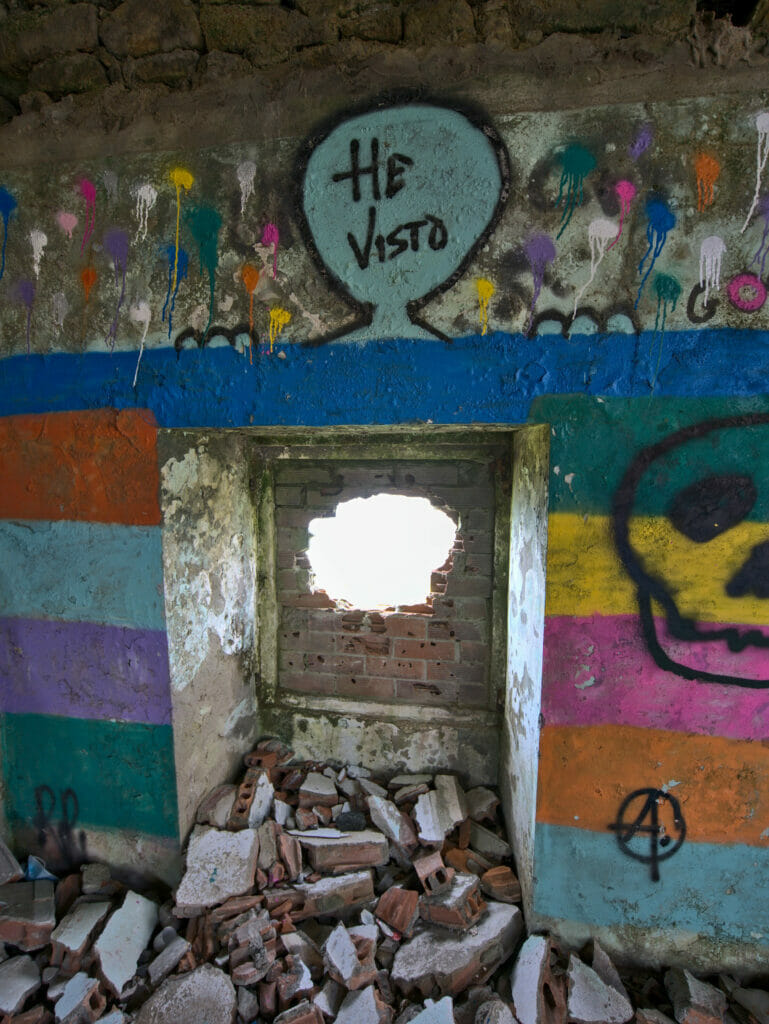
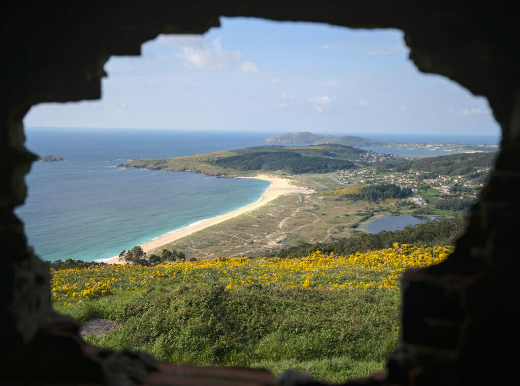
We will finish our walk by going down in the forest behind the Monte Ventoso and bypassing the lagoon by its right side to return to the parking.
- Distance: 12,5kms
- Elevation: about 370m +-
- Difficulty: medium
- Duration: 3-4h
- Start: There is a small parking lot in front of the Valverde bar or you can also go down to the big parking lot on the beach
Vixia Herbeira (Garita de Herbeira): among the highest cliffs above the Atlantic
After these nice few days in our little paradise of Valdoviño, we set off again along the Rias Altas with the objective this time to discover some of the highest cliffs of Europe overlooking the Atlantic Ocean (just that!). North of the village of Cedeira is in fact a range of “mountains” called the A Capelada range (we call them hills) whose highest peak, Vixia Herbeira, rises more than 600m above the ocean.
In Spanish they call it the “Acantilados” (cliffs) and there is a beautiful winding road that runs along the cliffs with lots of great viewpoints along the way. It’s not for nothing that they call it the road of miradors of A Capelada. The road starts at the village of Cedeira and is indicated as “ruta de los miradores”.
Mirador Chao do Monte
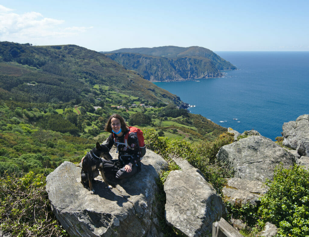
It is the first viewpoint which is on the left of the road after the first uphill part and it is personally the one that I preferred. There is a big parking lot at this place and we can see on one side the village of San Andres de Teixido (which we will speak about later) below and on the other a magnificent cove.
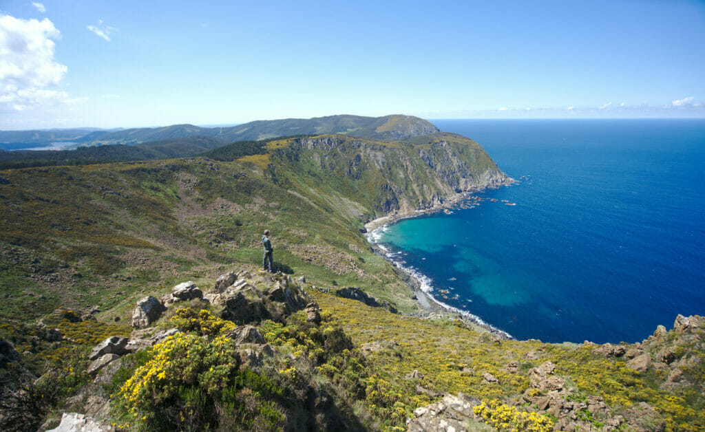
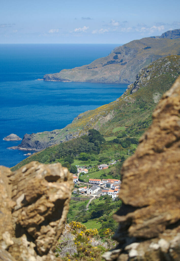
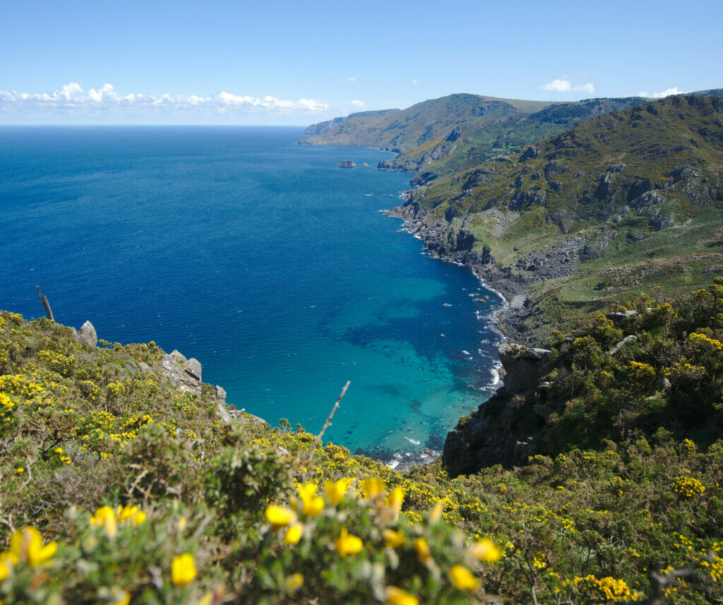
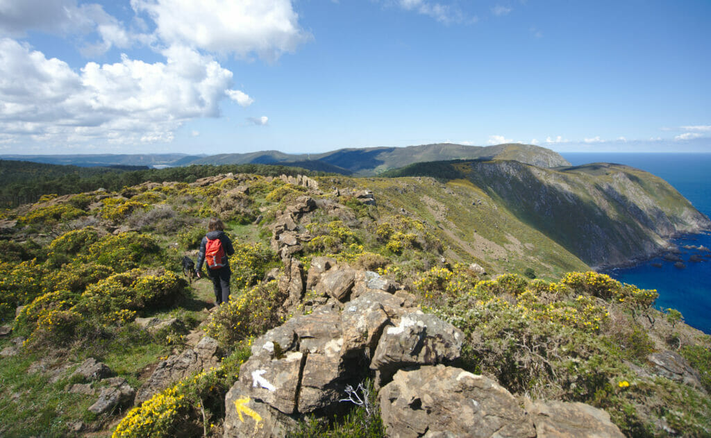
But what is great is that this mirador is also an excellent starting point to hike and reach viewpoints that would be inaccessible by vehicles. There is in particular a splendid path which follows the cove on the pictures above with some spectacular points of view on the cliffs in the middle of the gorse. On our side we just made a 4,5kms round trip to a nice viewpoint but there is clearly a possibility to hike longer in the surroundings. To inspire you, we share some more photos below and the map of our hike.
Mirador cruceiro de Teixido
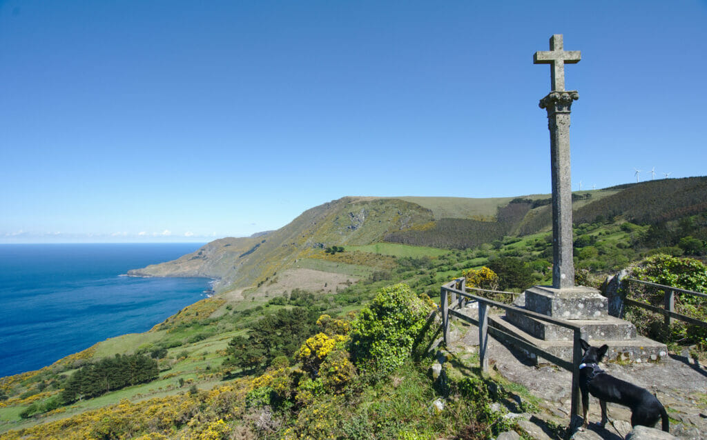
Just after the intersection with the road that goes down to the village of San Andres de Teixido, there is a nice viewpoint with a typical Galician cross and a nice view over the village below.
Mirador Vixia de Herbeira
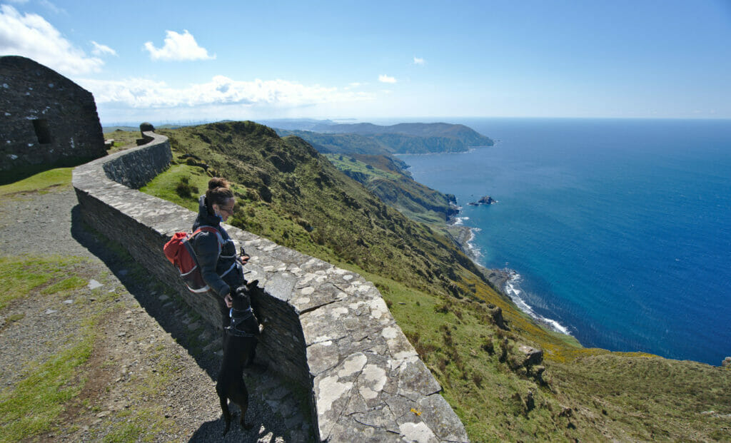
Continuing up the road after the village of San Andres de Teixido, we finally arrive at the Garita de Herbeira, the highest point of the range, at more than 600m above the ocean. In fact, to be really precise, it is the 4th highest oceanic cliff in Europe after those of Hornelen in Norway, the Cape Enniberg in the Faroe Islands and the Croaghaun cliffs in Ireland. There is a small stone building dating from 1805 at the top which used to serve as a maritime observation point.
Then indeed we were blown away by the wind at the top but we have to admit that the view on this part of the Galician north coast is rather nice! We let you judge by yourself 😉
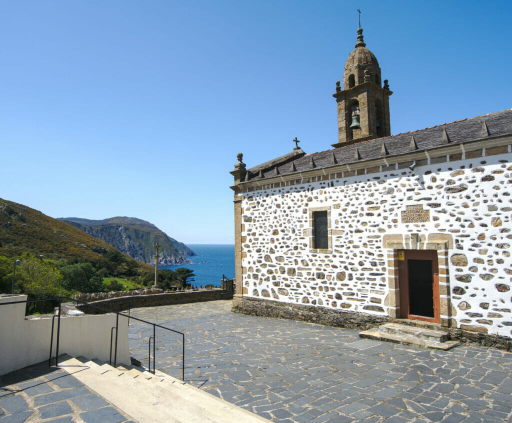
the village of San Andres de Teixido
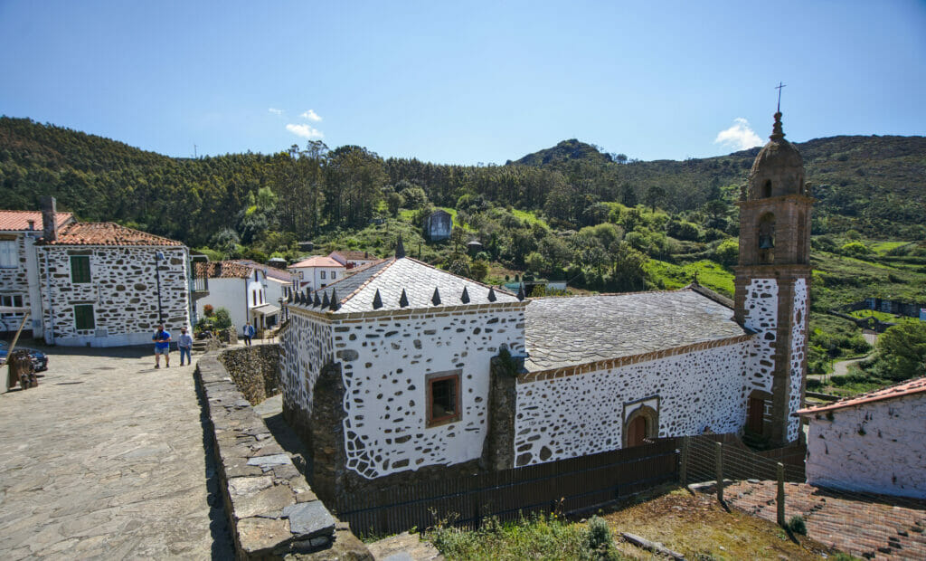
In the middle of the A Capelada range and all its viewpoints is one of the most important places of pilgrimage in Spain. In fact, the village of San Andres de Teixido is the most visited place in Galicia after the city of Santiago de Compostela!
This village is in fact the source of many legends that make this place so popular. From what I read, it seems that the apostle St. Andrew was sad that all the pilgrims were going to the tomb of St. James and that no one was coming to his sanctuary. Seeing his sadness, God promised him that no one would enter paradise without first passing through his sanctuary. Hence the popular local saying “A San Andrés de Teixido vai de morto o que non foi de vivo”, who does not go to San Andres de Teixido in his lifetime will go when he dies.
Whether you believe in the various local legends or not, the village of Saint André and its church are very beautiful and clearly worth a visit. On the other hand, we were there during the Covid and low season and it was already a little bit crowded… We can imagine that it must be a little messy on the small roads around here in high season with the various buses / camping cars / vans. In any case for Winchy it was already too much and he made us a nice little panic attack just in front of the church which will have shortened our visit of San Andres de Teixido 😉
The Cabo Ortegal lighthouse
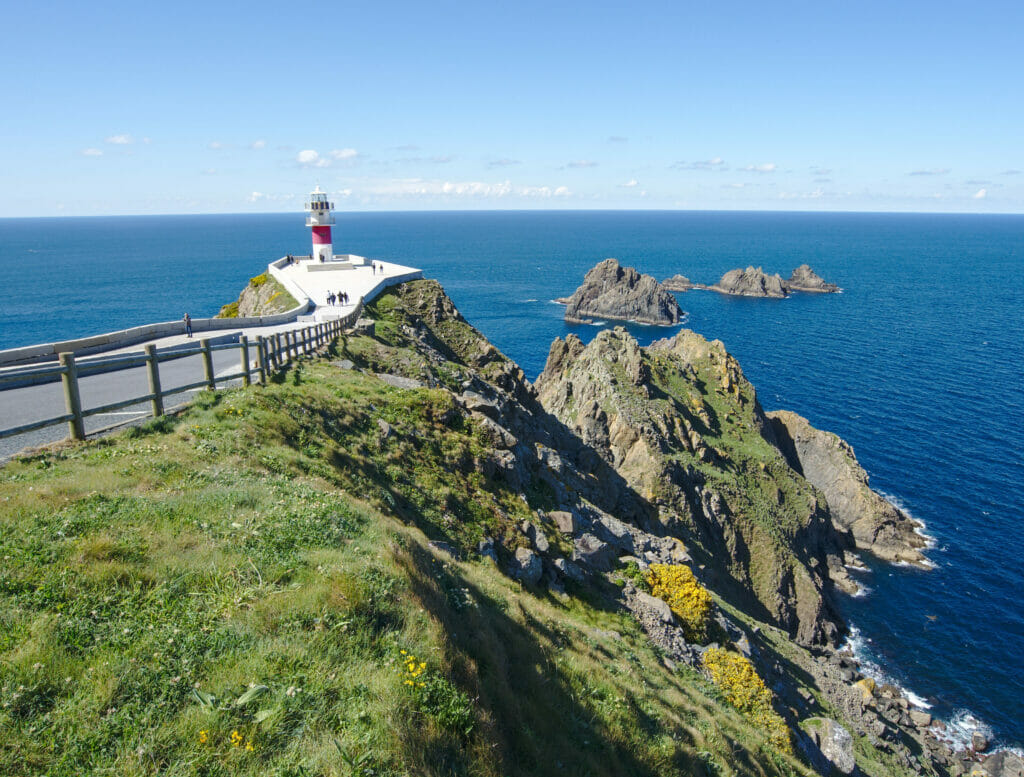
Cape Ortegal is the place where the Atlantic Ocean and the Cantabrian Sea meet (we can also say that it is the western limit of the Bay of Biscay). As it is located at the end of the viewpoints of A Capelada road, it would have been silly not to make a small stop here. Frankly, the lighthouse is very nice with the rocks just behind. To make a small parallel with Brittany, it reminds us a little the Pen-Hir tip and its three rocky spurs which go out of the water.
The Ria of Ortigueira
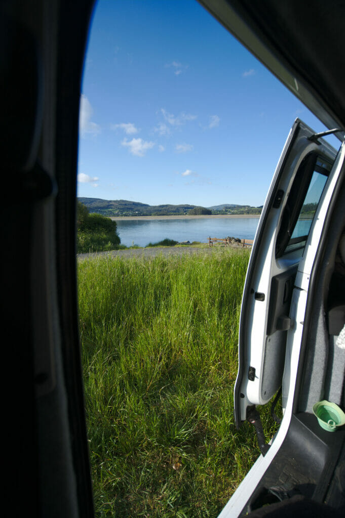
As the day had been windy to say the least and that the night did not look better, we decided to move away from the coast to take refuge in the ria of Ortigueira to spend the night (when there is a lot of wind, it is not very pleasant to sleep in the roof tent of our van Dahu because it makes a lot of noise). So we found a very nice spot to spend the night not far from the beach of Morouzos.
There we had a small bench for us all alone, the view on the ria of Ortigueira, the beach and a pretty sunset to finish this beautiful day. It was exactly what we sneeded to have a drink with a view 😉 .
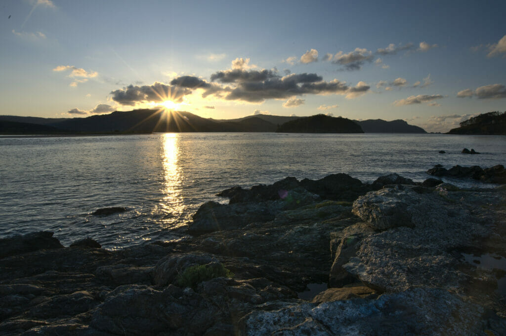
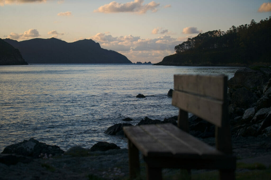
The next morning we leave at dawn to walk Winchy and to take advantage of the pretty morning lights. We make a small tour around the punta do Tallo and the Punta Carneiro with very pretty views on the Ria and the beach of Morouzos.
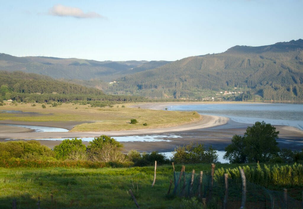
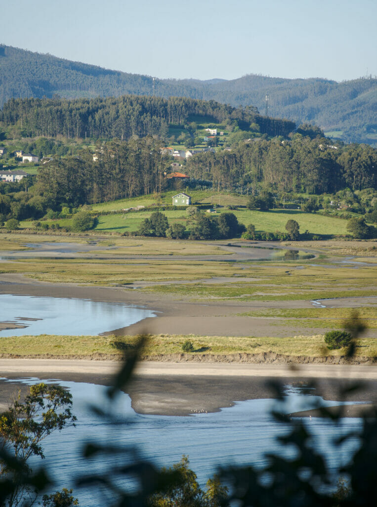
Well of course we could have seen even more things here. We heard about the mirador Da Miranda which overlooks and offers a plunging view on the whole ria (you can see some pictures here)… But there are so many things to see in the north of Galicia and we can’t do everything anyway 😉 . And let’s not forget that at the beginning our idea was to go back to Switzerland by making some stops on the way… while in 10 days we had hardly done 200kms lol
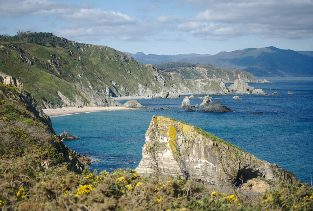
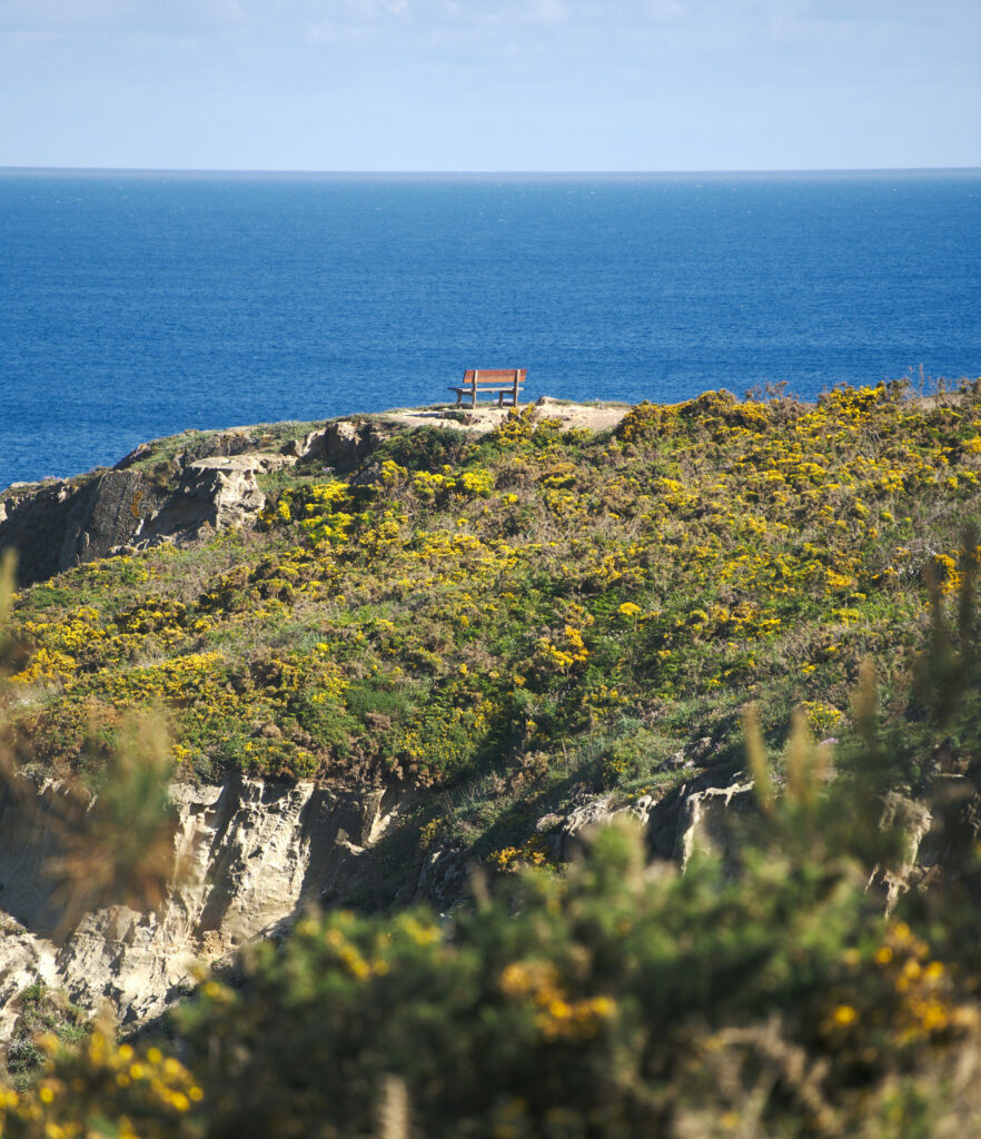
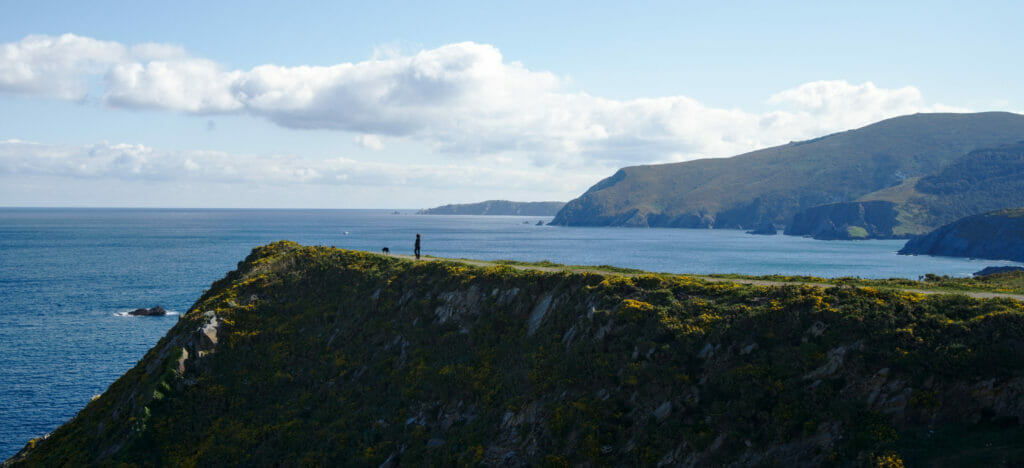
The Loiba mirador and its “best bench of the world”
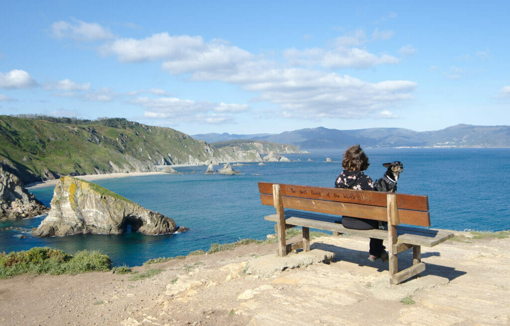
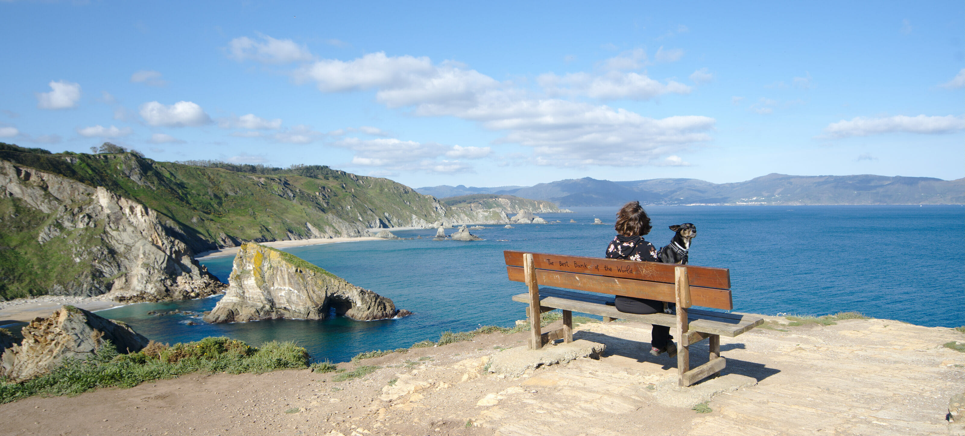
So let’s face it, we are generally a little wary when we read on the web that such and such place has “the best bench in the world”. It’s usually a bit exaggerated and it’s often the sign that there might be a lot of people there. But well, as we had read good opinions about this place and as it is really the low season (+ the Covid), we decided to stop here anyway to look at it to take a breath of fresh air with “the Winch” (it is the nickname that we give to our dog 😉 )… plus we are not in a hurry and it was on our way anyway 🙂
Good for us because there was indeed nobody on the spot except a small group of surfers of many different nationalities waiting for the waves while playing the guitar. But one can easily imagine that the weekend or in high season, the place must be very popular. There are several parking lots, the road was being expanded and readers told us on Instagram that they had to queue up to take a picture on the bench!
So the verdict is that, even if we are not sure that it is “the best bench in the world”, it has indeed not stolen its reputation. The view on the north coast around Loiba is splendid and there is also the possibility to walk along the coast to appreciate these landscapes peacefully.
The cute O Barqueiro harbour
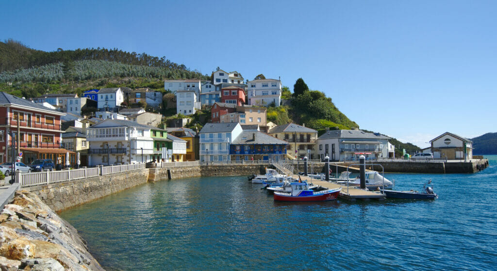
You will certainly have noticed it, we tend to prefer the nature spots rather than the villages and it is even more true since we have Winchy (who is for now really sceared when there are more than 10 people around lol). But well, we still like to stop have a small coffee on a terrace in a pretty small village. Then the port of O Berqueiro was the perfect excuse to make a small “socialization” break for Winchy (and incidentally for us to finally have a coffee on a terrace again since Covid started).
Incidentally, O Barqueiro is a magnificent small fishermen village which is at the entrance of the estuary of the river Sor. As there was nobody around, we stopped to have a coffee on the only terrace of the port then we strolled in the small streets of the village. We cannot say that Winchy really appreciated the experience… but well, we hope that he will learn to appreciate the terraces with time 😉
Ahhh yes, and if you are in the area, stop also on the metal bridge between O Barqueiro and O Vicedo. The view on the Ria, its beach and the incredible color of the water are definitely worth a photo stop (well… don’t stop on the bridge… but rather on the parking spots that are just before it and go there on foot) 😉
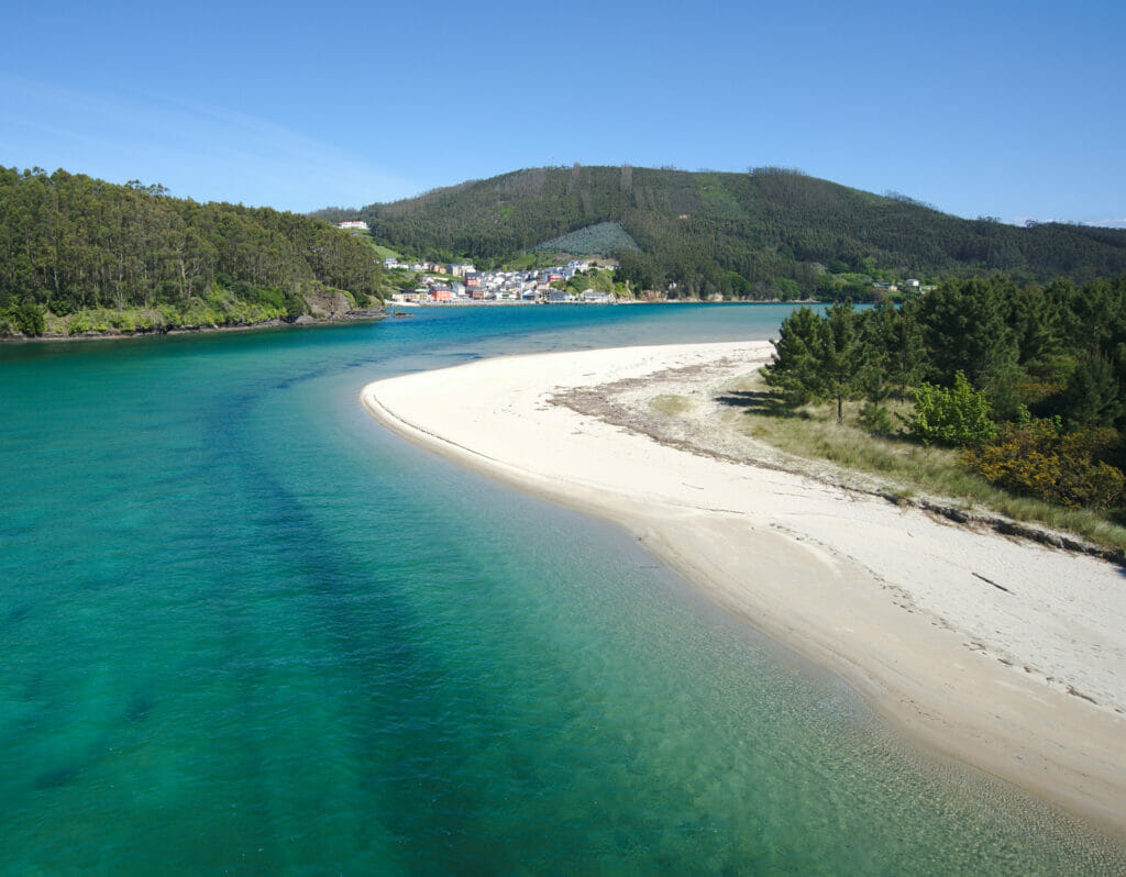
The footbridges of Fuciño do Porco
We continue a little further east along the Rias Altas to arrive around the Ria of Viveiro and its famous Fuciño do Porco tip (literally the pig’s snout in Gallego). This place is quite famous and popular in the region for its impressive Zigzag footbridge, which allows you to easily reach the tip on foot. Moreover, the view on the Ria from the point is magnificent and it is easy to understand why so many visitors come here (especially during the high season we imagine… because you even have to book on a website to access the footbridges in July and August).
It is easy to park at the beginning of the trail near the beach of Abrela. The walk is then very easy to follow along a small track without difficulty until the footbridges.
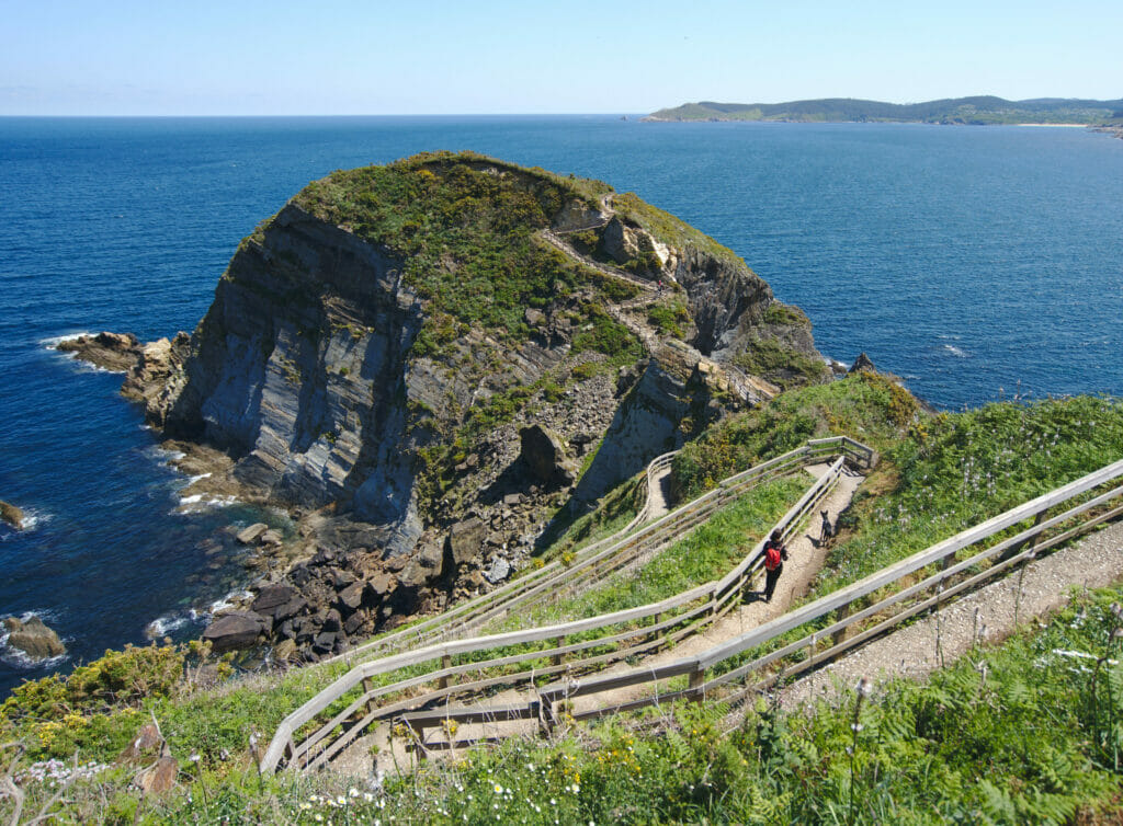
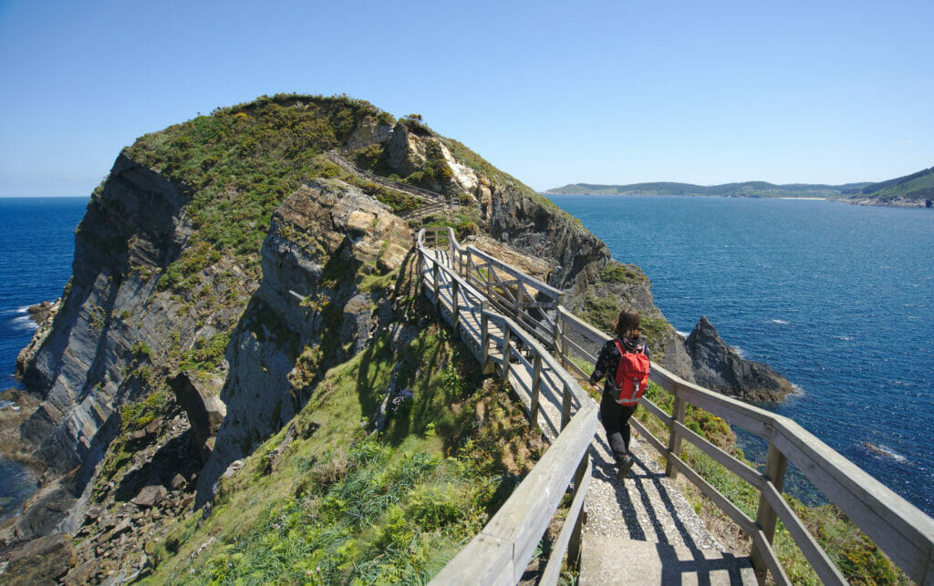
- Distance: about 4kms (back and forth)
- Elevation: around 100m +-
- Difficulty: easy
- Duration: 1-2h
- Start: There is a small parking lot at the beginning of the hike, but if there is no more room, you can go down a little further and park on the big parking lot at the beach of Abrela. And don’t forget to book your spot on this website if you come here in July – August
The Roncadoira tip: its lighthouse and miradors
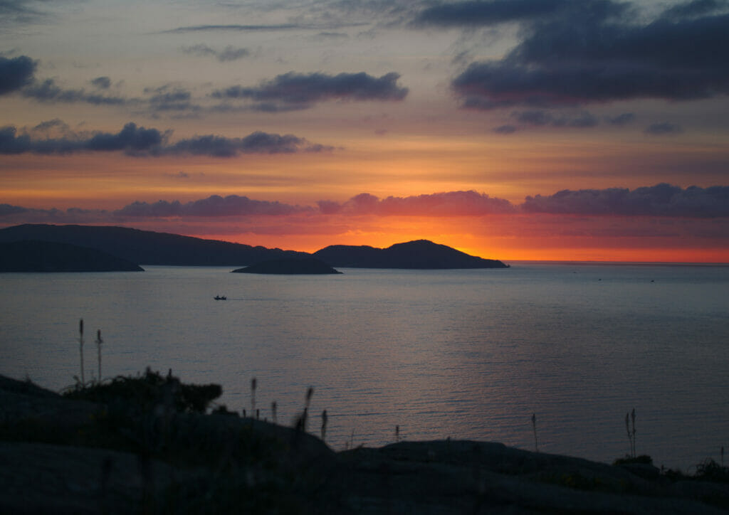
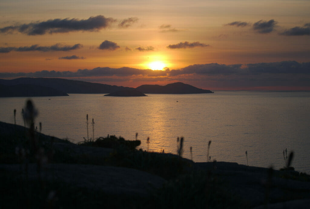
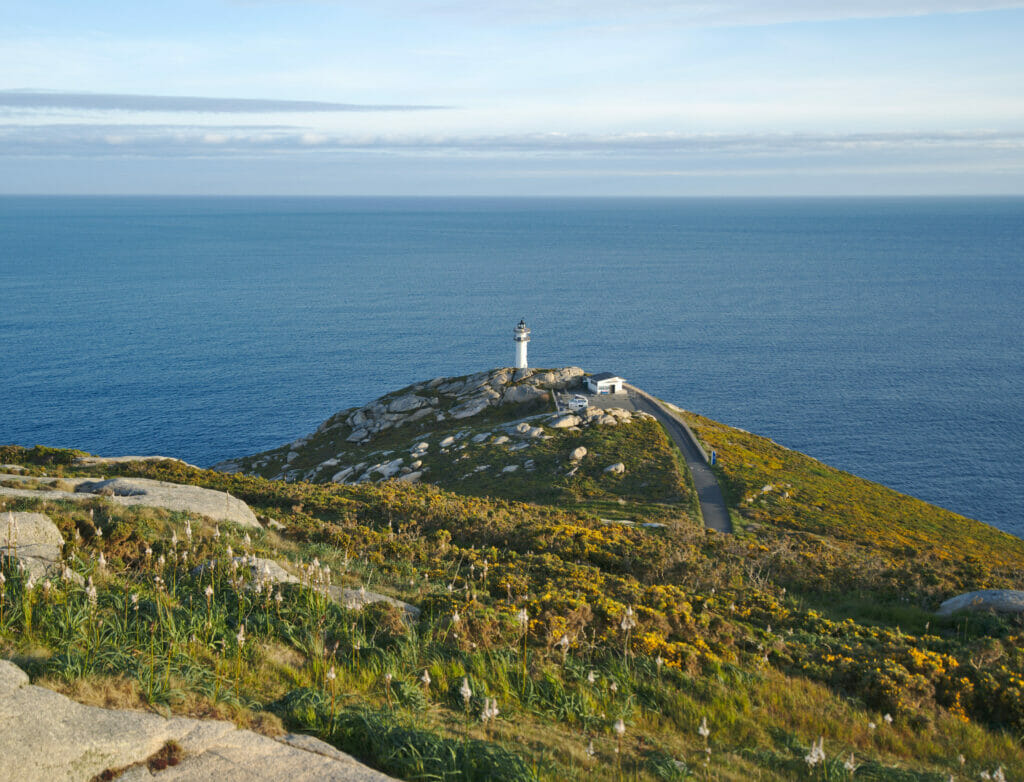
Looking for a spot for the night, we decided to go towards the lighthouse of Roncadoira on the other side of the ria of Viveiro. As the weather was rather good with little wind, we thought that it could potentially be a beautiful spot for the sunset/sunrise and to walk with Winchy in the surroundings. Well I think we can say that we were not mistaken. There is a nice viewpoint on top of the hill just behind the lighthouse… a perfect place to watch the sun go down with a little beer 😉
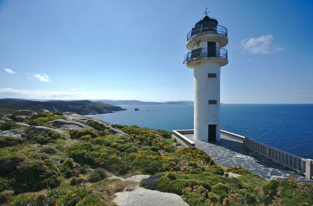
The Moras harbour and its Dolos
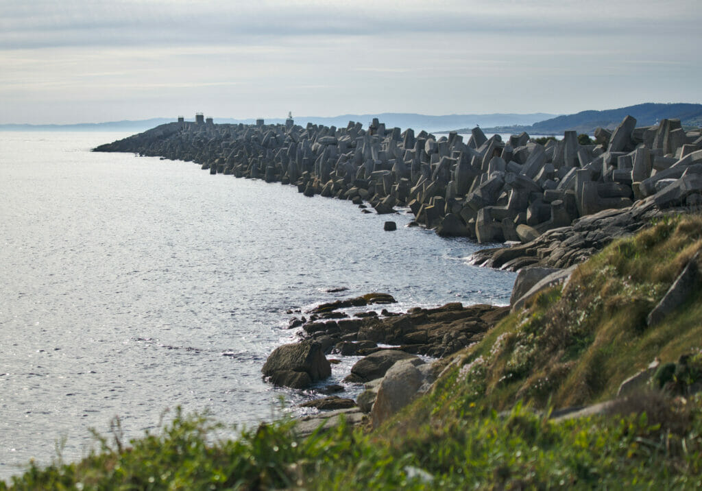
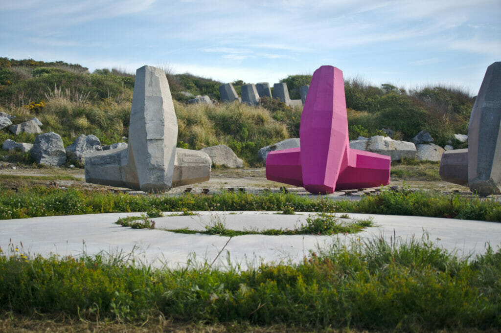
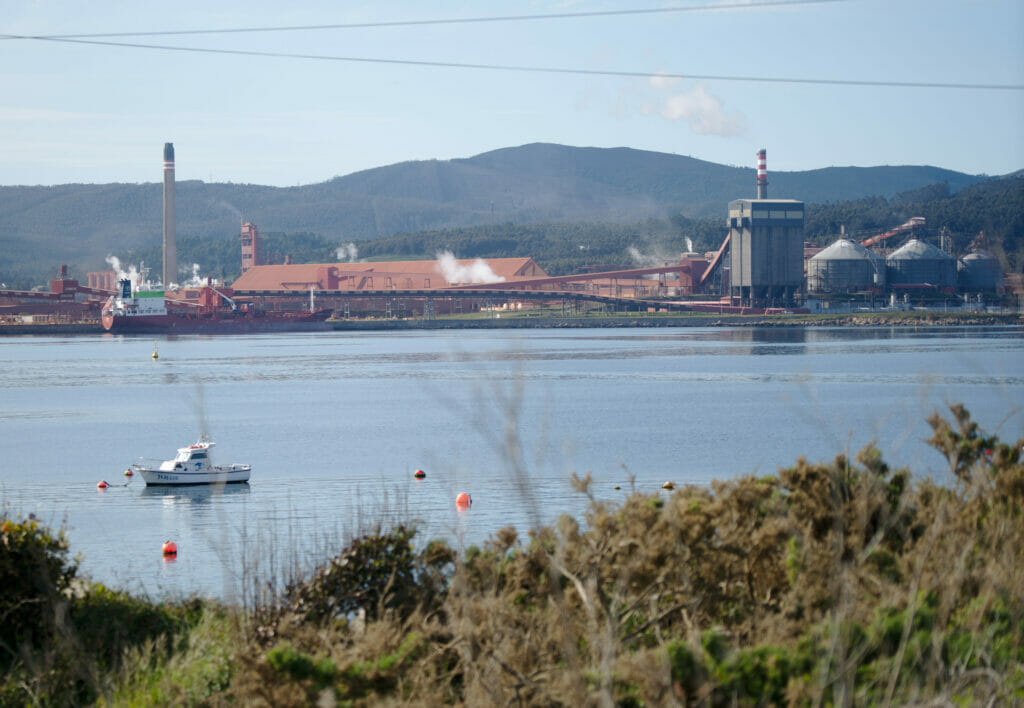
Not far from the lighthouse of Roncadoira there is another rather curious site, although much less “natural” than what we had visited so far in the Rias Altas: The Dolos of Moras harbour. It is important to know that perhaps the biggest industry of the last 30-40 years in the region is the production of aluminum by the multinational Alcoa. Unfortunately, this company has made the headlines in Spain and Europe in recent years for bad reasons (plant closures after receiving state aid, pollution, tax optimization etc. …). Alcoa has already closed 2 other sites in the region and the future of this one is very uncertain, putting hundreds of jobs in the region at risk.
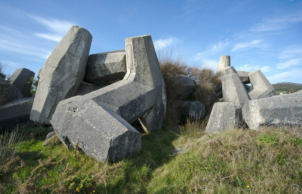
But well, this was not the purpose of our visit… the Moras harbor was built at the same time as the Aluminum factory with Dolos, gigantic concrete blocks of complex geometrical shape that were used to protect the harbor from the waves. What is quite crazy here is that 18’000 Dolos of 50 tons each were used to build this harbor… which makes it a curiosity that is worth the detour in our opinion (regardless of the fact that we agree or not with this kind of construction). With Fabienne we were thinking that this place would be much cooler if it was decorated by street artists…. what do you think?
Pozo da Ferida: the most beautiful waterfall in Galicia?
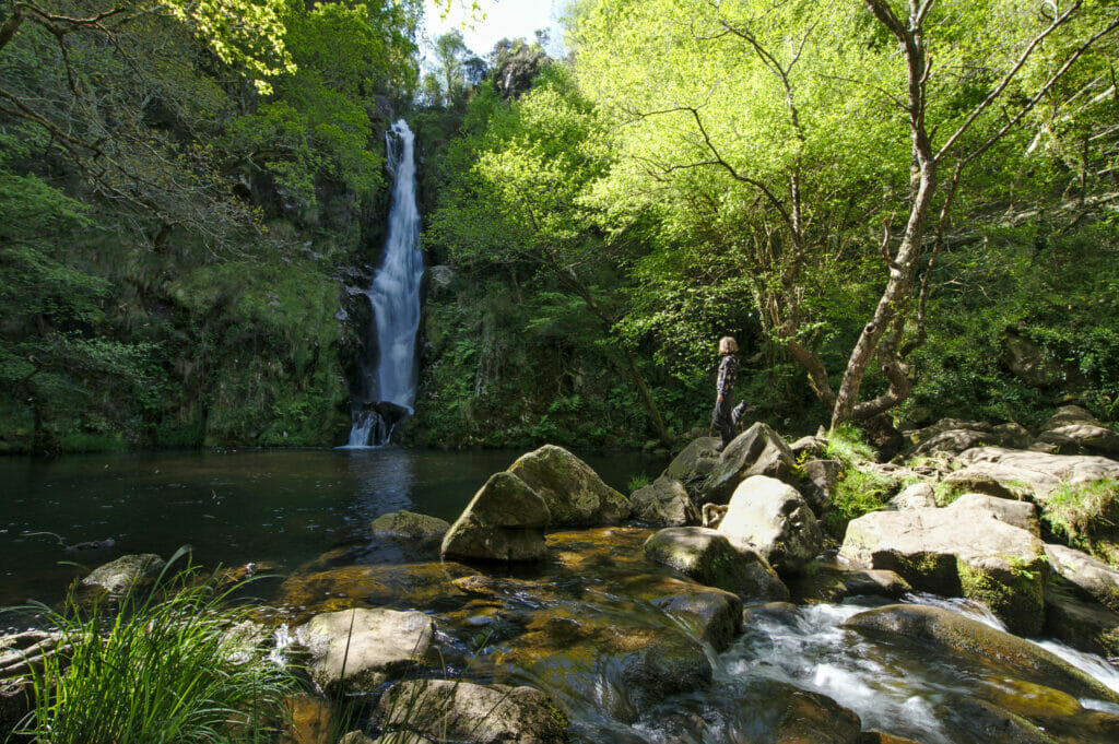
We had spotted this waterfall during our research on the Rias Altas and we had thought that it would make a nice little detour before leaving Galicia. But what we had not seen it is that the regional road to reach this waterfall was a real field of bumps… we thought however we got the nose to smell the lousy roads in Galicia after 4 months here and nevertheless we did not suspect anything when Google told us 35 minutes to make 15kms 😉 . We can tell you we have been well shaked and that it took us rather 45 minutes to reach the waterfall (fortunately Winchy doesn’t vomit every 5 minutes in the van anymore 😉 )… but it was well worth the detour frankly.
From the parking lot it takes maybe 20 minutes to walk down to the waterfall. After a small part on the road, we follow a pretty path which leads to a magnificent waterfall of about 30 meters high. We take advantage to have the place for us to watch the birds which twirl around us. It is certainly the waterfall we preferred in Galicia, so if you are not afraid of bumpy roads, we highly recommend you to come here.
- Distance: about 3kms (back and forth)
- Elevation: around 100m +-
- Difficulty: easy
- Duration: 1h
- Start: There is room for 2-3 vehicles at the beginning of the track on the map below
The cathedrals beach (playa de las catedrales)
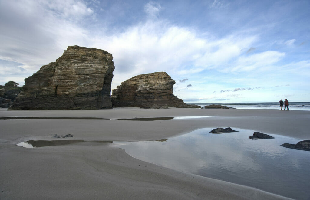
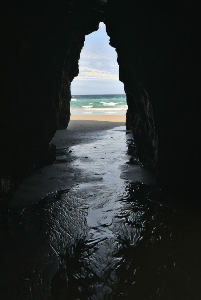
The Cathedrals Beach is without a doubt the most famous in Galicia and it was our first and last stop in the region. As it is not far from the border with Asturias, there is a good chance that you will pass by it if you come to Galicia. It is mainly known for its natural arches (hence the name) which can be up to 30m high and which were formed by the waves and the wind.
Then for us the cathedrals beach it is kind of a big failure… the 1st time, we had stopped in a spontaneous way without really informing ourselves and we did not arrive at low tide. Because yes, to have a chance to walk to these famous arches, the sea level must be low enough to reach them. As you can imagine, we timed our 2nd visit on the tides to arrive at the right moment. Ehhh well again missed! It turns out that the tidal coefficient must be high enough and that we can reach these damn cathedrals only during the great tides (during the full moons and new moons)… So don’t do as we did and get the right information before coming. You will find the schedules and amplitudes of the tides on this page.
But anyways, the beach is very nice, let’s say it! And even if we could not see the big arches (those which are situated approximately 600m on the right of the access stairs), we could nevertheless observe some smaller specimens 😉
Our map of things to do in the Rias Altas
Finally to finish this big post, we share with you a Rias Altas map with all the points of interest we told you about here, to help you locate all the points of interest! Aren’t we nice?
Useful information to prepare a trip in the Rias Altas
As more or less everywhere in Galicia, it is impossible to visit the Rias Altas without having your own vehicle. As always, if you want to rent a car for your stay, we recommend the rentalcars comparison website, which will allow you to find a cheap vehicle for your trip.
During our road trips we travel with Dahu, our campervan that we presented here. If you are interested in the Vanlife in Galicia, you should know that it is easy to rent one for a given period. On Yescapa you can find for example vans rented by private people (with all the required insurances) from 60€ per day. You can also rent a van or an RV with a a professional rental company like campstar.
If you want more infos about how to rent an RV for your next trip, we also wrote a comprehensive guide about this topic
To find accommodation in the Rias Altas, you can use the interactive map below which combines several booking platforms in one place for simplicity. You can also use the Booking platform that we also really like
Here it is, bravo if you arrived at the end of this post about our road trip in the Rias Altas of Galicia (which was a little longer than expected 😉 ). We sincerely hope that this reading (or that of one of our other blog posts about Galicia) will make you want to discover this magnificent region and to get lost in Galicia during one of your next trip. In any case, as far as we are concerned, we had a BIG crush for this region of Spain and it is clearly not the last time that we come here.
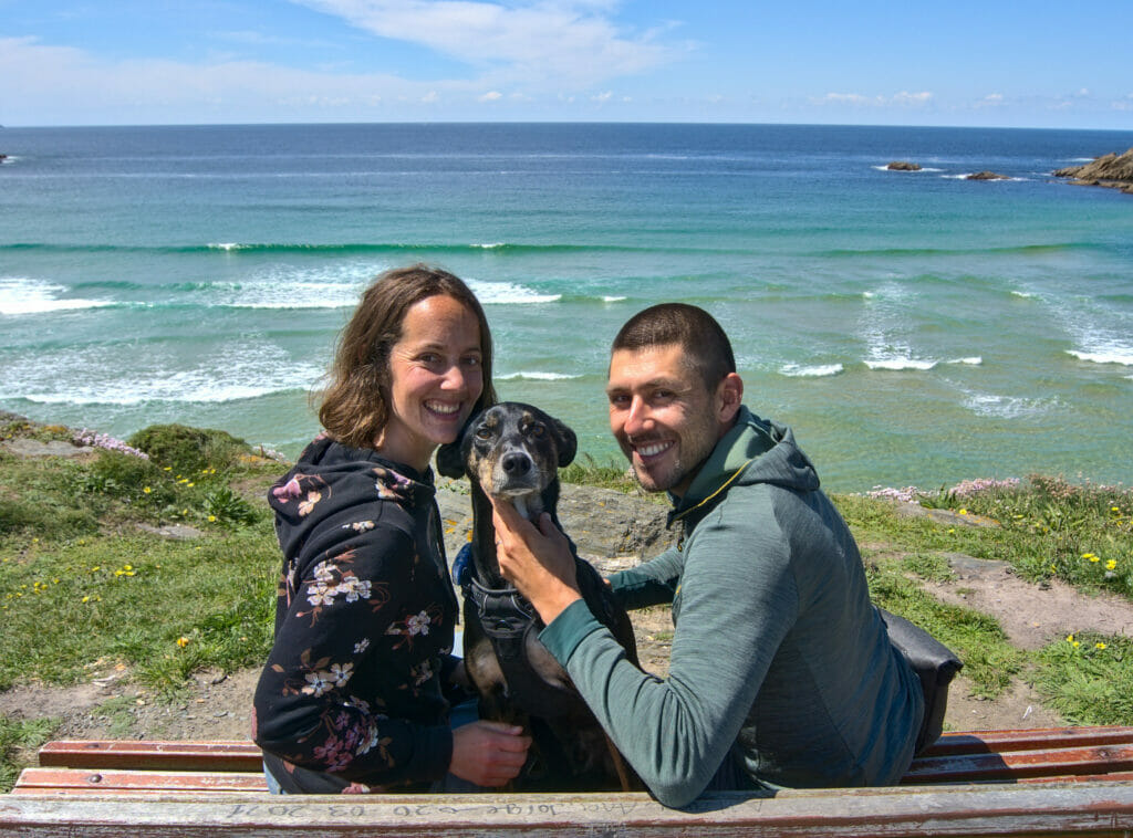
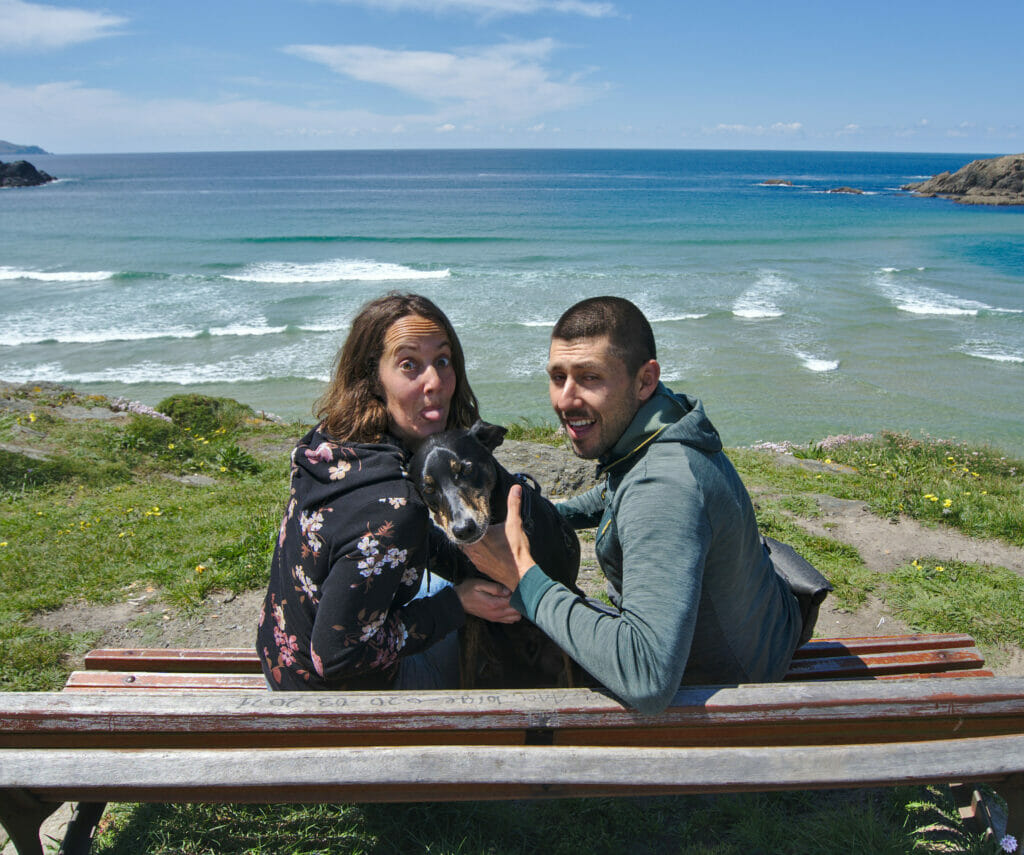
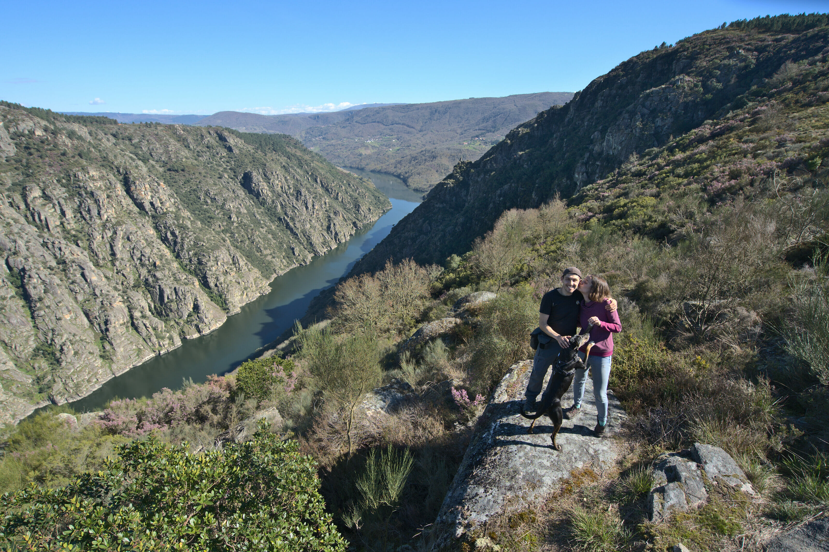
On this, we leave you with our most beautiful selfies (you prefer which one??? 😉 ) of this trip and do not hesitate to leave us a comment if you have questions or suggestions to give us about the Rias Altas of Galicia.
Pin it on Pinterest
Note: This post contains affiliate links to Rentalcars and Stay22. By booking your vehicle or accommodation through our link you don’t pay anything extra but we will get a small commission which encourages us to create free and independent articles like this one.
Join the discussion