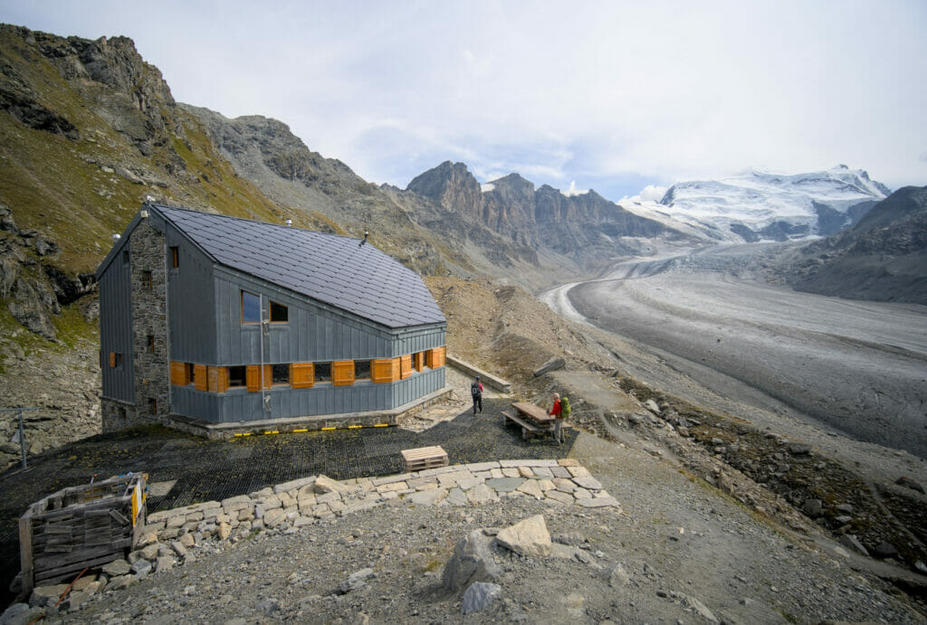
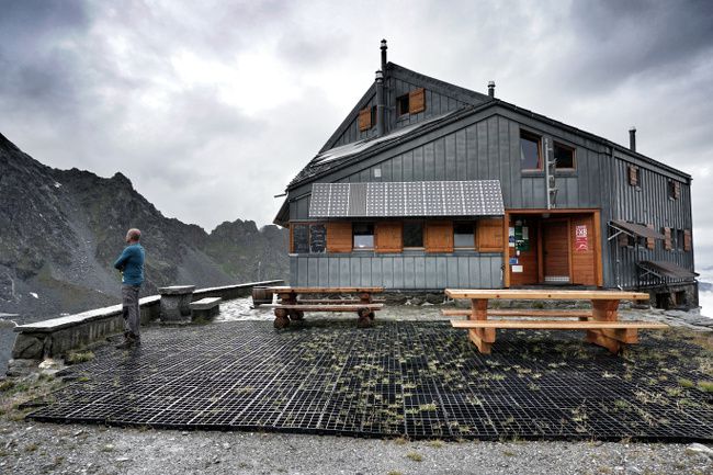
We already went several times by the beautiful Panossière hut located on the moraine overlooking the Corbassière glacier, at the foot of the Combins range. The 1st time, Fabienne had spent the evening of August 1st (the Swiss national day) at the hut with a group of friends… In fact it is a bit of a tradition to spend the 1st of August in the mountains in Switzerland and we celebrated it in mountain huts several years in a row with our friends.
Then in 2022 we did the tour des Combins, a magnificent 5-7 days hike that goes all around this beautiful mountain range and that stops at the Panossière hut. But in this post we will talk about the itinerary which is done in 1-2 days (with possibly a night at the Panossière hut) from the Brunet hut to Panossière by the Avouillons pass and then down to the Mauvoisin dam by the Otanes pass.
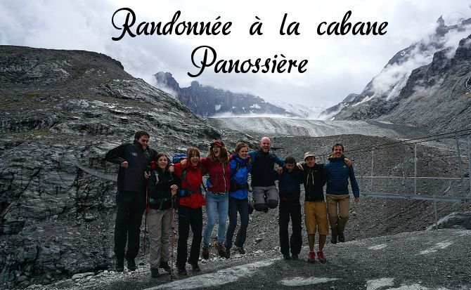
Starting the hike in the Brunet hut
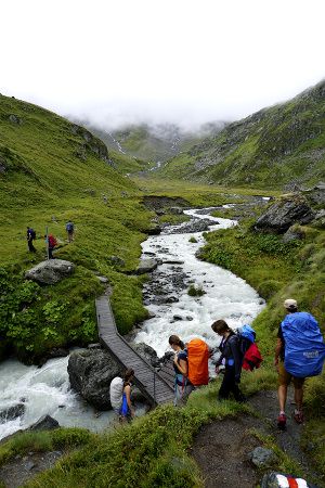
The hike looked perfect: a group of 10 friends, superb landscapes, a breathtaking glacier, genepi and limoncello in the bags and a hut booking!
But then it was without counting on the surprise guest of the weekend: the rain! Accompanied by her friend the fog these two briefly made us hesitate to leave! But we didn’t let ourselves be discouraged, we just made a small itinerary change!
Initially, we were planning to leave from Lourtier. That is about 250m lower in the valley in terms of altitude difference. But in view of the more than capricious weather and also because we knew that the weather would probably get even worse in the afternoon, we opted for a shortened route. The departure of our hike was thus set to be from the Brunet Hut!
By the way, if you plan to do this hike in summer, you should know that there is a shuttle bus that connects the village of Fionnay to the Brunet hut (all the info here). So you can leave your car in Fionnay, take the shuttle to the cabane de Brunet. Then at the end of the hike simply take a bus from Mauvoisin to Fionnay.
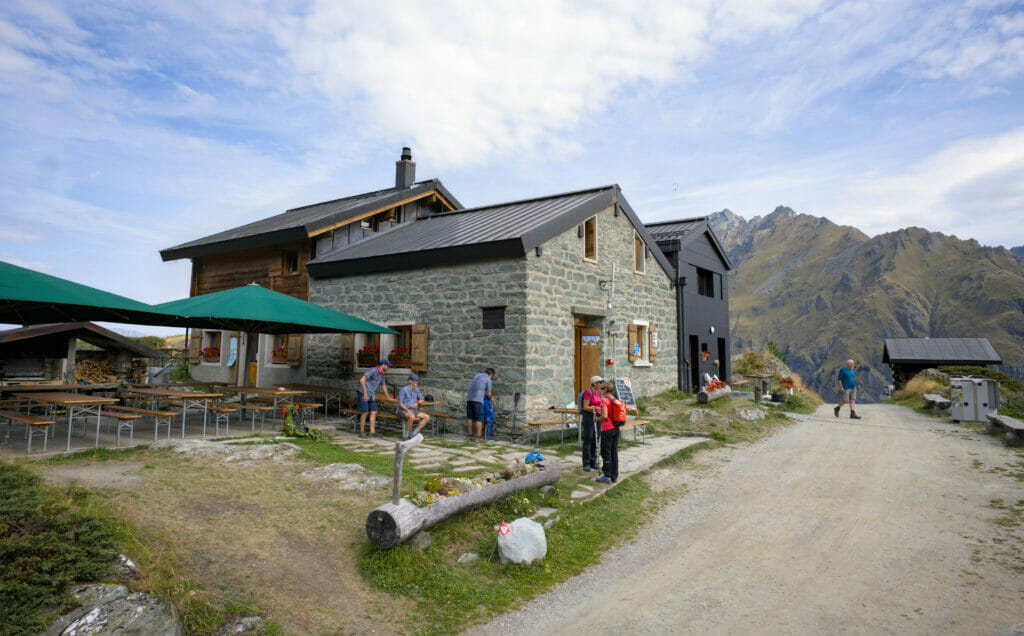
The Avouillons pass
About 20 minutes after the beginning of the hike there is a first crossing. Here hikers can decide to reach the Panossière hut by going through “La Maye”, a path that runs along the mountainside and allows them to reach the hut in about 2h15.
The other alternative is to reach the Panossière hut via the Col des Avouillons. A great alternative a little sportier to enjoy a beautiful view… well… in theory! We decided to opt for the second option, but let’s say that the view was not quite there! Fortunately, the Genepi and Haribo’s distribution were there!:)
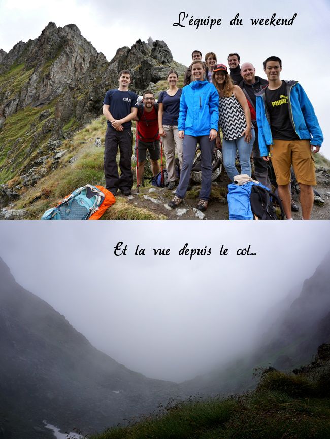
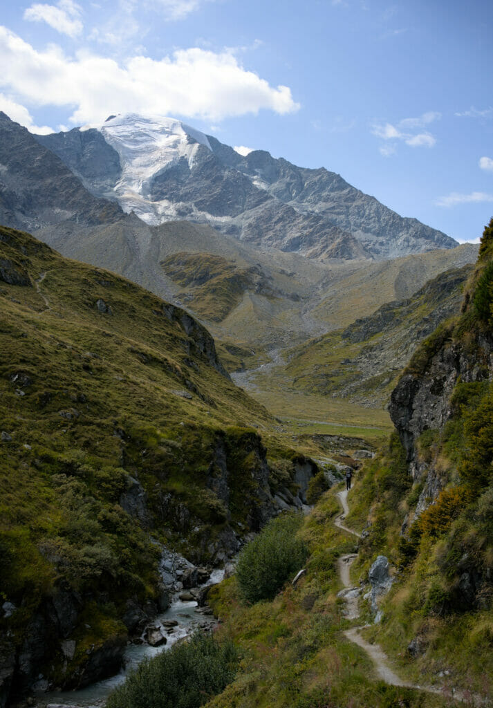
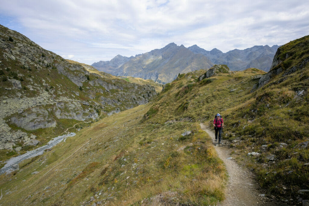
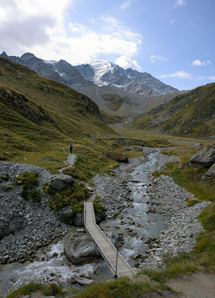
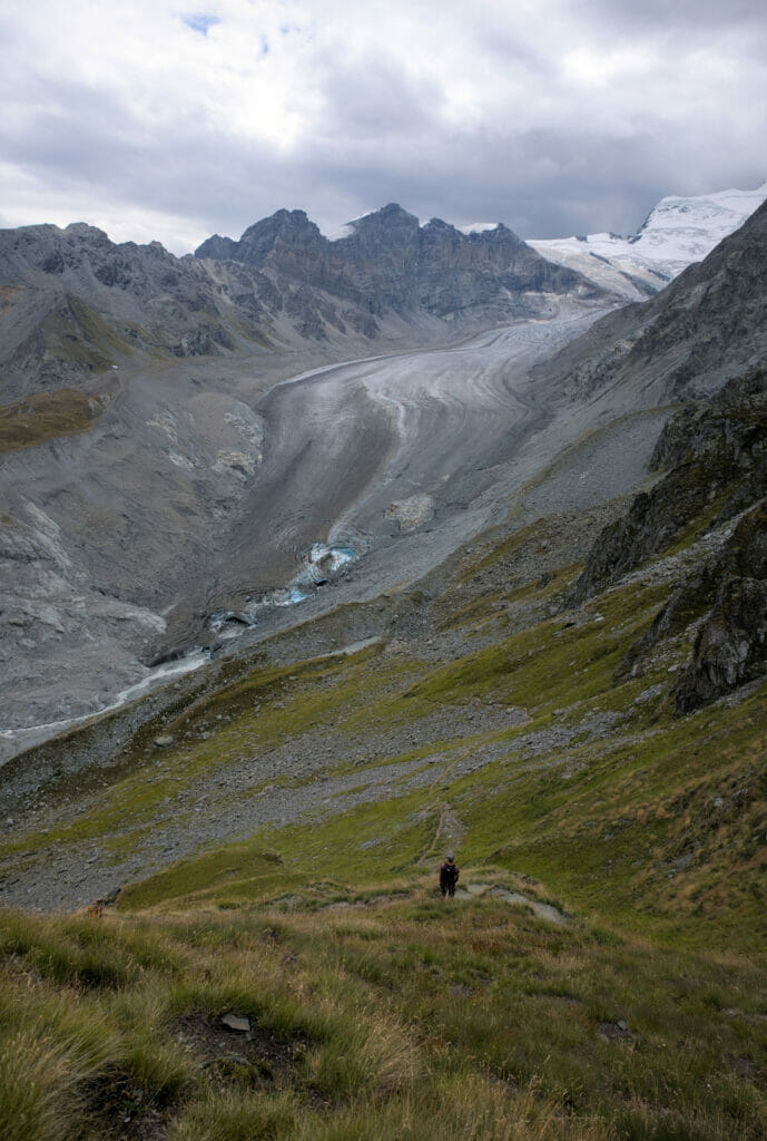
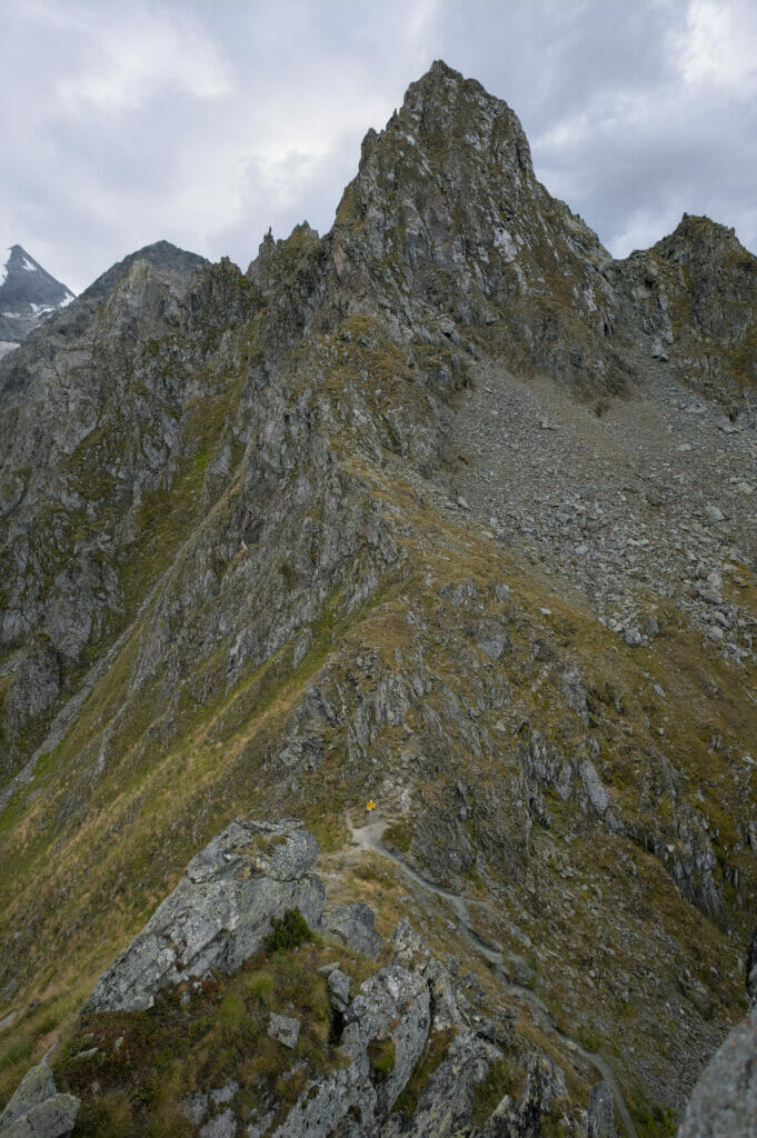
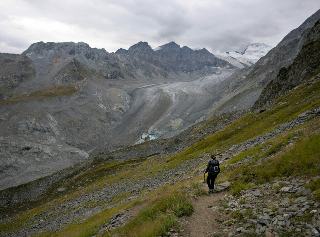
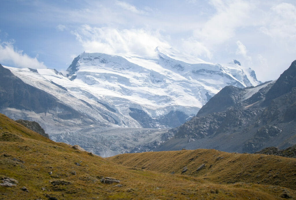
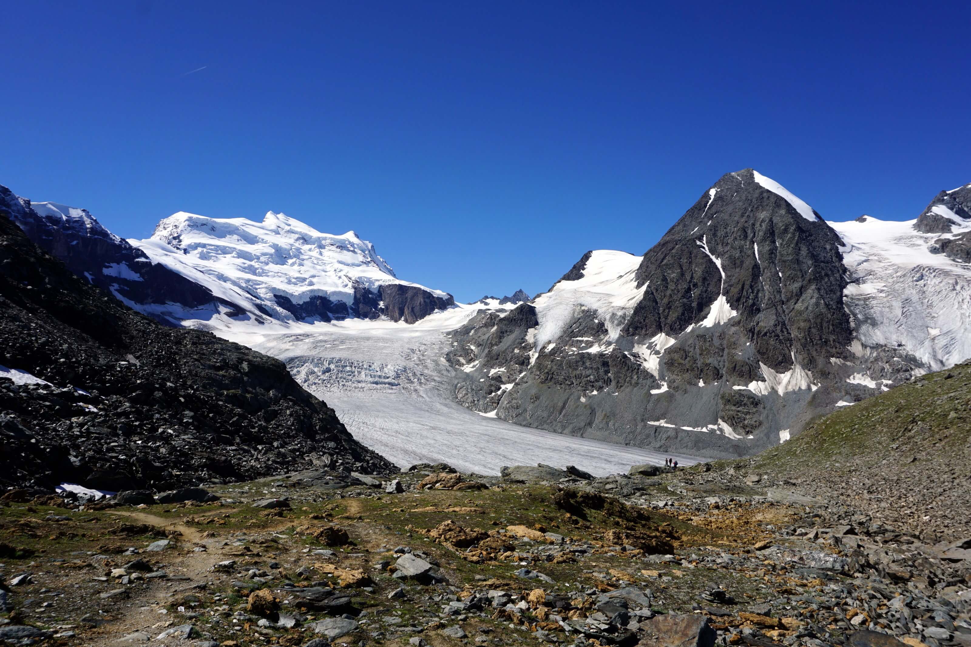
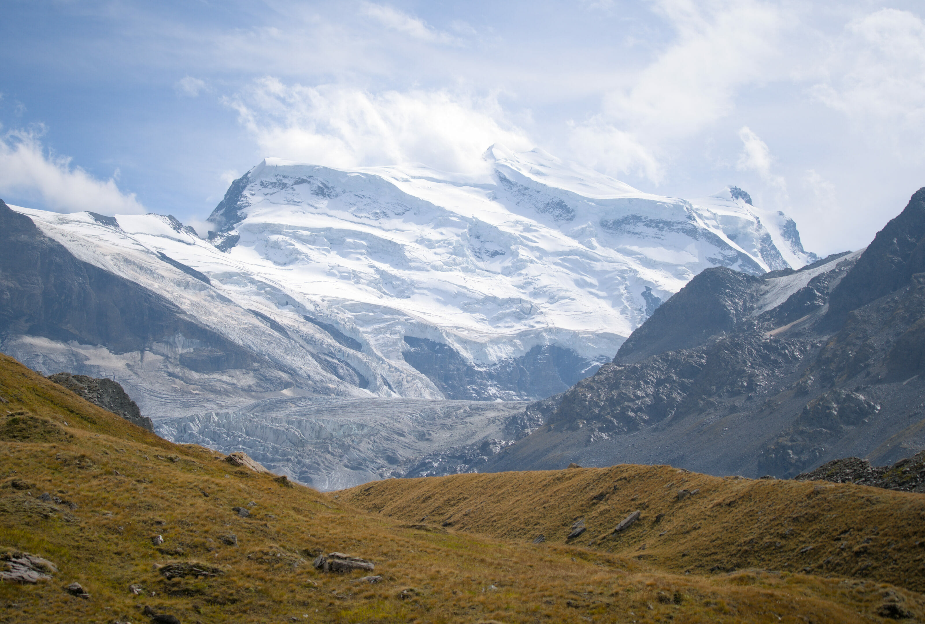
But since we are nice people and we had a better weather in 2022 (not with a lot of sun but still), here are some pictures of the climb to the Avouillons pass and the view on the Combins range and the Corbassière glacier from up there!
The Corbassière footbridge
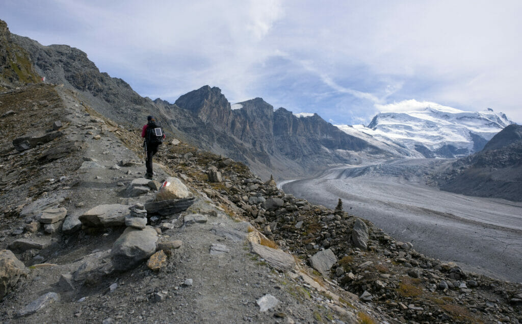
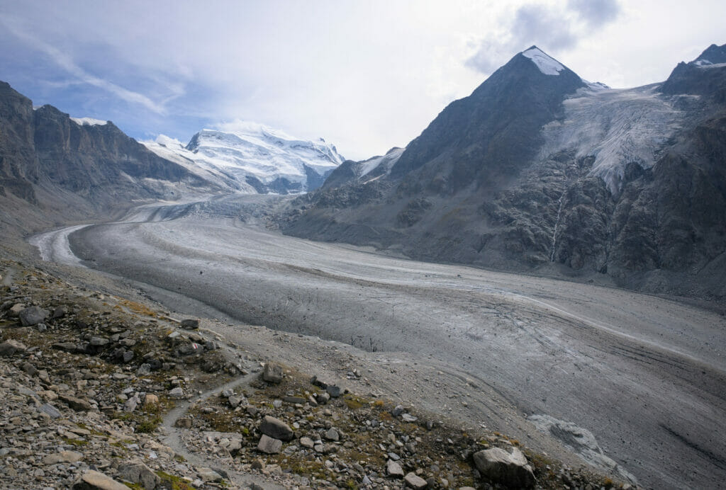
The descent from the Col de Avouillons is quite steep, but the path is well marked. As you descend, you start to see the glacier in the background. Well… in theory! We continue to descend until we start to set foot on the moraine, we hike in the stones until we reach the Corbassière footbridge.
The footbridge was built by the region of Bagnes in 2014 and is 190m long and 70m high! It is a small test for people prone to vertigo… With the melting of the glacier, the crossing had become more complicated at this place and the footbridge now secures the crossing between the Brunet hut and the Panossière hut.
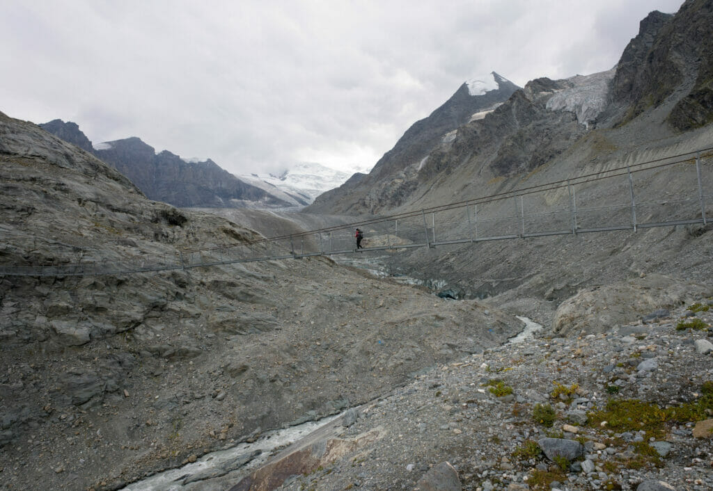
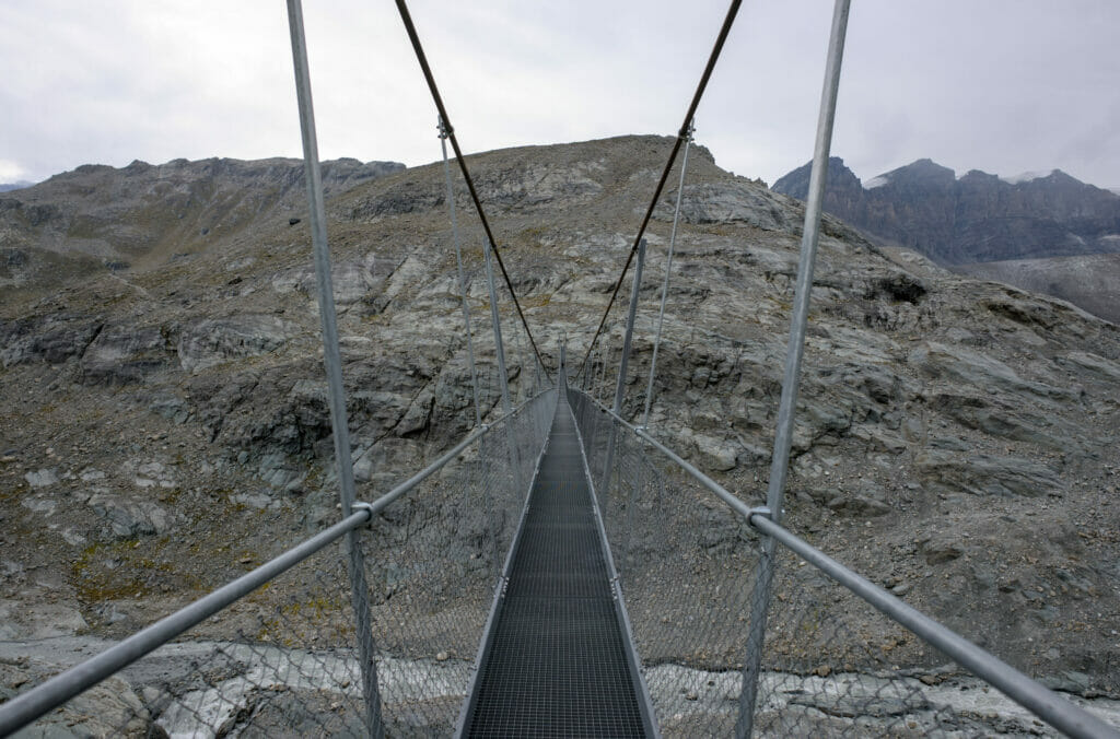
Before the crossing we decided to give ourselves some energy and take a little picnic break while enjoying the view of the glacier. During the meal the fog decided to make its big comeback, giving a super mystical side to the place!
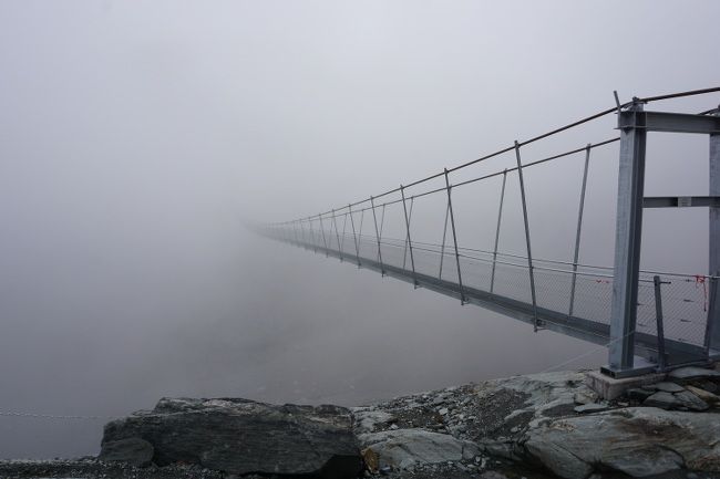
The weather was deteriorating quickly, so we set off again for the last 40 minutes of climbing before reaching the hut. We really managed the timing well! Barely installed in the hut, the rain has made its comeback! Phew! Phew!
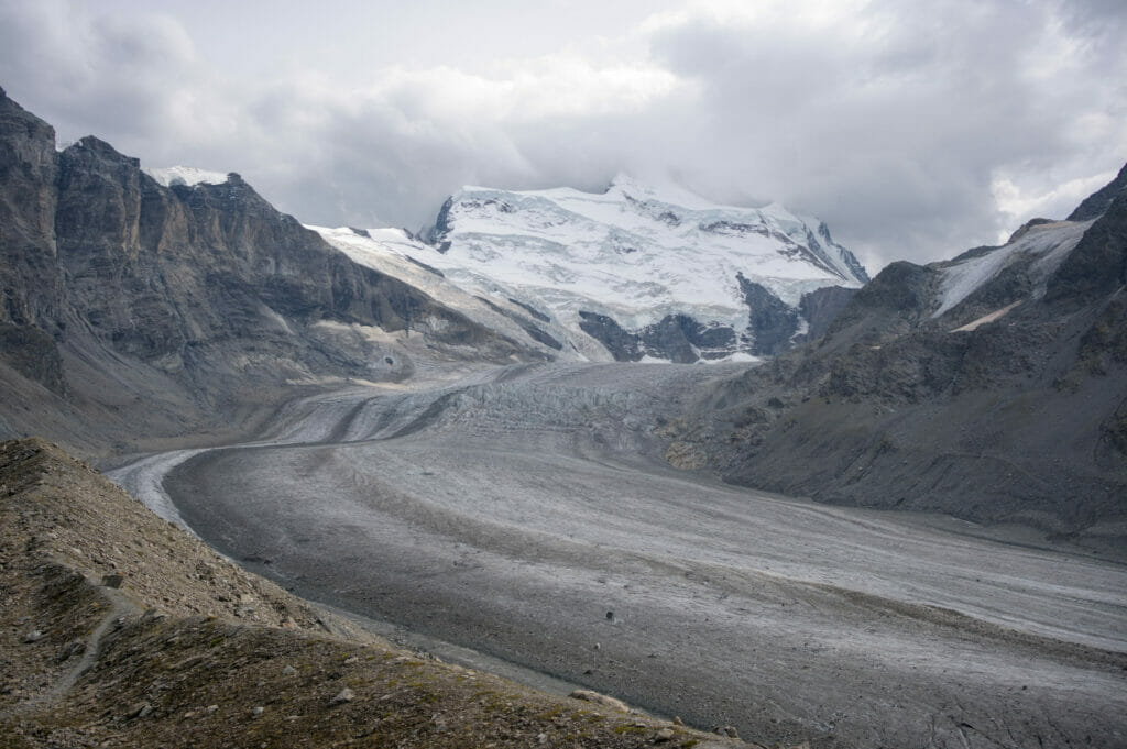
Update 2022: When we last passed by here, the weather did exactly the opposite of 2015. After crossing the Corbassière footbridge, the clouds lifted to offer us a spectacular panorama of the glacier and the Combins on the way up to the hut. Judge for yourself!
A night at the Panossière hut: celebrating the swiss national day in the mountains

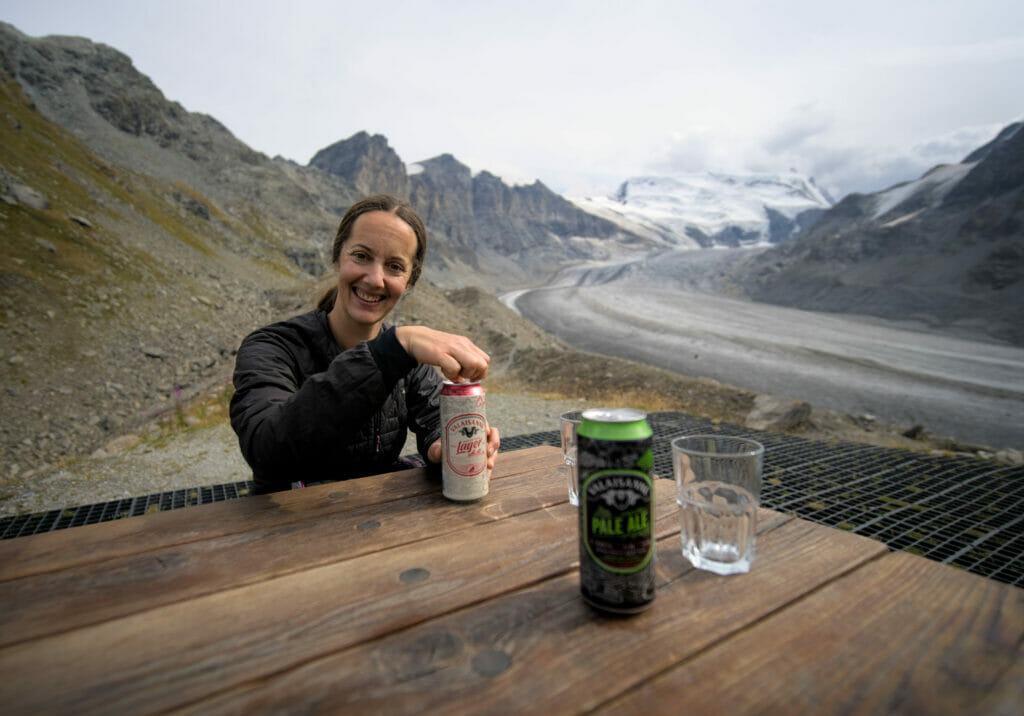
The end of the afternoon was not the most active…. We spent the day watching the rain fall and watching the wet hikers enter the comfortable common room of the hut. On our side, it was apero time and at the jass games, a 100% Swiss card game!
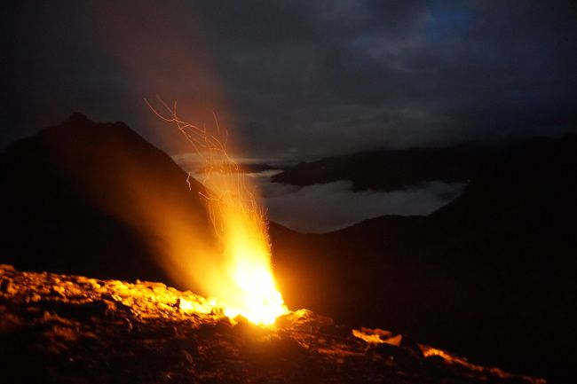
The evening then followed its course with a good meal, a few bottles of red wine, but above all a great atmosphere! The hut keepers had planned a big fire and some fireworks to celebrate August 1st as it should be.
Fortunately Mother Nature was merciful because the rain stopped at around 9pm. And we were able to enjoy the late evening admiring the fire while enjoying a good mulled wine.
The evening will have ended with a wild session of moonlight singing. Our slightly drunk voices resounded in the valley to the tunes of “Aux champs Elysée” or the “Lacs du Connemara”.
Infos
- The hut is open from April to October and is located just next to the Corbassière glacier. It can only be reached by foot. The cabin is equipped to accommodate up to 100 people
- The night costs CHF 75 or about 70€, and this includes the night in a dormitory, the evening meal (soup, dish and dessert) as well as breakfast.
- It is advisable to book your night in advance.
- More information : The FBX Panossière website
A short hike on the Corbassière glacier
Located at the foot of the Grand Combin massif, this glacier is 9.8 km long and nearly 18km2 in surface (for now)!
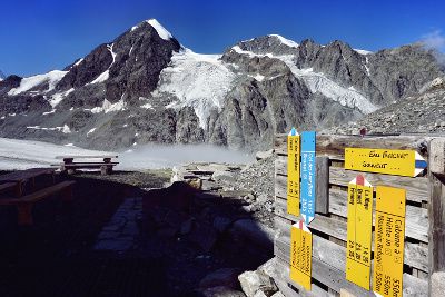
The guards of the Panossière hut have marked out a path on the glacier, so when the weather doesn’t play too crazy you have the possibility to go and discover it a little closer!
Basically, we had planned to do this tour the day before, but given the thick fog and rain it was just impossible! Because when it rains the path turns into a giant ice rink and let’s say it’s still better to have a minimum of visibility to avoid cracks in the ice (sic).
When we woke up the weather was radiant! Blue sky, no cloud on the horizon and the first rays that illuminate the superb Corbassière glacier. So part of the team decided to take a walk on the glacier while the others were enjoying the sunny terrace of the Panossière hut.
Informations
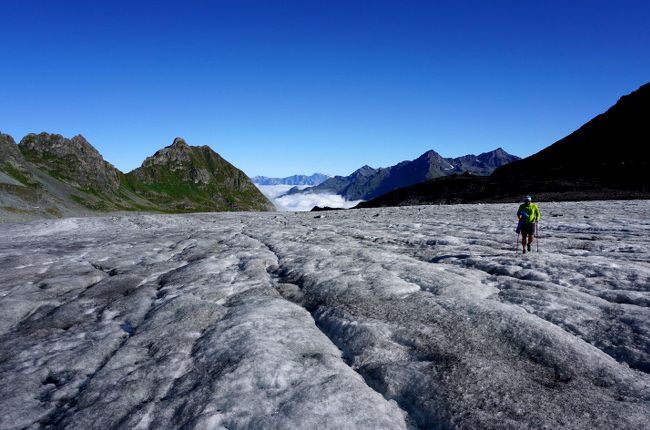
- The walk on the glacier is well marked and open to all, good walking shoes are still recommended.
- It takes about 1h30 to do the walk.
- Update 2022: Because of the conditions, the itinerary on the glacier was no longer marked during our last visit. The best thing to do is to ask the hut keeper for information when you come.
Hiking up the Otanes Pass and descent to Mauvoisin
After a good breakfast and a short tour on the glacier, our fine team set off again towards the Otanes Pass. From the hut, it is a more or less steep an ascent of 300m (altitude difference) for which it took us about forty minutes. Nothing like that to finish digesting the genepi and limoncello from the day before, I tell you!
It’s a bit difficult and the breath is a little short, but the reward at the top is worth it! A superb panorama on the glacier but also on the plain still under the clouds!
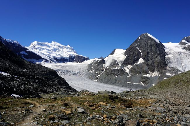
The rest of the hike is the toughest part for the knees. We start from the Otanes pass at 2864m to reach the Mauvoisin dam hotel located at 1850m! The descent is steep but fortunately the path is well done. Oh and if you are in the area, don’t forget to look up from time to time, the area is full of marmots, ibexes and little edelweiss! 🙂
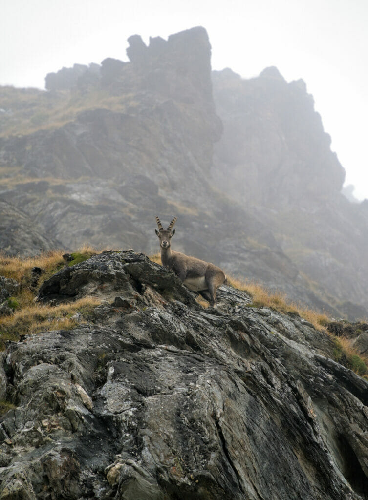
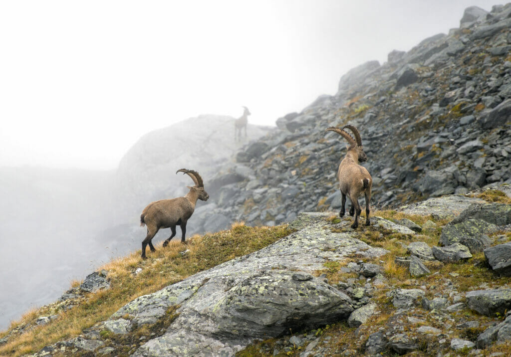
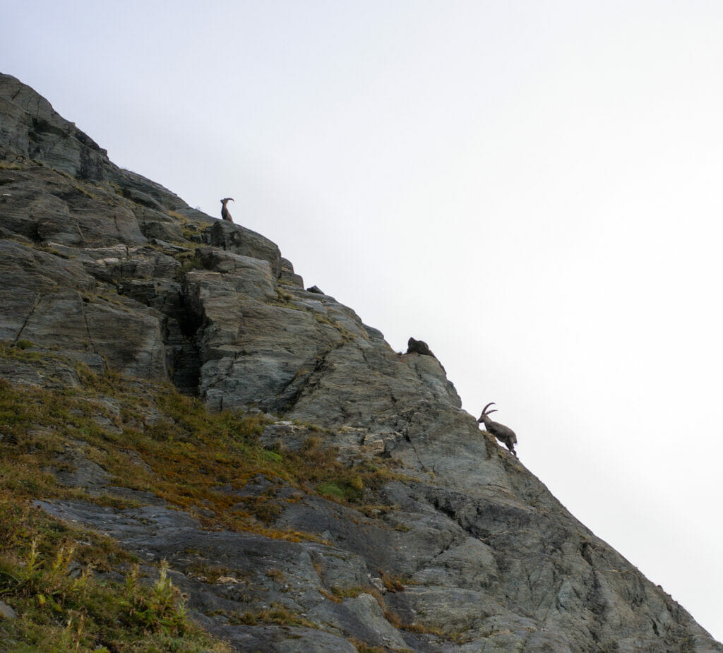
Moreover, despite a not so nice weather for the descent to Mauvoisin in 2022, we had the chance to see a lot of ibexes in a rather mystical atmosphere! This is the privilege for the first people on the trail in the morning!
Infos
Duration :
If you are sporty it is possible to do this hike in one day. For this you will need to allow about 7h30 of walking time.
But if like us you are a group that wants to enjoy a little bit of the great atmosphere of the hut and discover a little bit of the glacier, then it is possible to divide the hike over 2 days. Allow about 4 hours of walking on the first day, and 3h30 on the second.
Elevation difference:
In total the hike has about 1400m of positive altitude difference and 1200m of negative altitude difference.
Map :
Here is the map of the route we followed (to download the map you just need to create an AllTrails account (free):
Download this route from AllTrails
Transport :
The hike begins either at Lourtier or at Brunet hut and ends at the Mauvoisin dam. From the dam there is a postal bus that passes 4 times a day to take you back to Lourtier or continue towards Le Châble, from where there are connections to Martigny.
There you go, you know a little more about this great hike! I strongly recommend the 2-day option, if only to enjoy the atmosphere in the hut or to go for a walk on the glacier!
If you know of any nice huts in Switzerland, don’t hesitate to share in the comments! We still have a few weekends left before the end of the summer… 🙂

Join the discussion