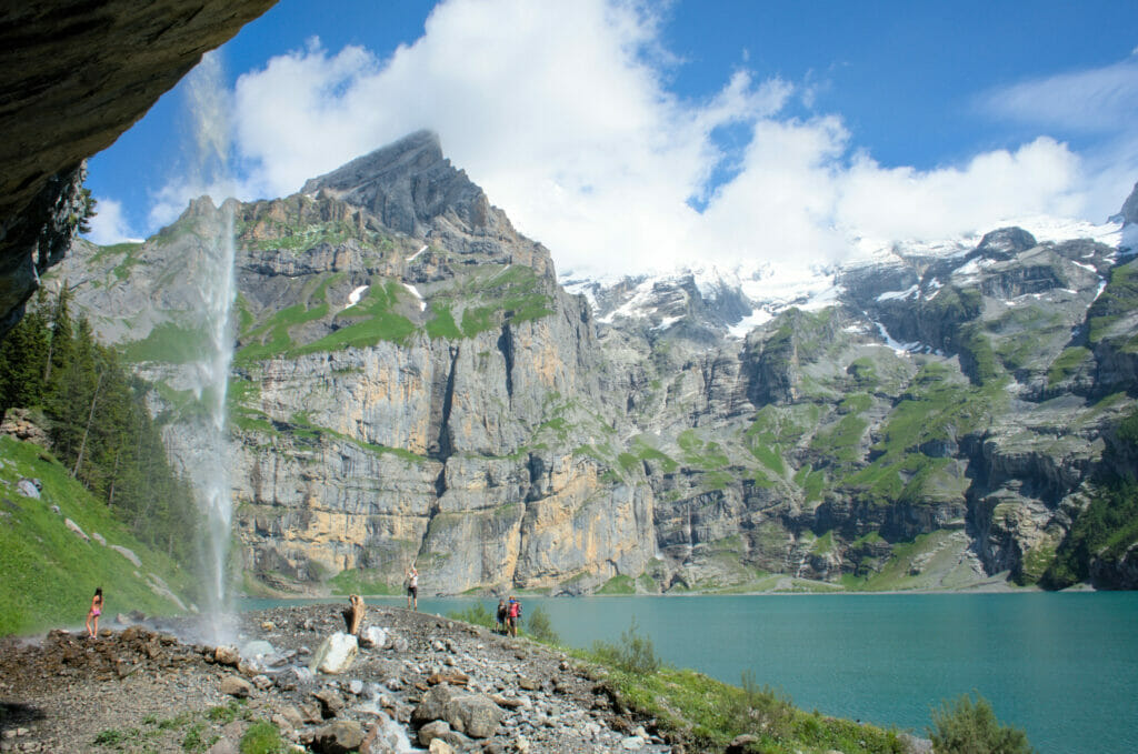
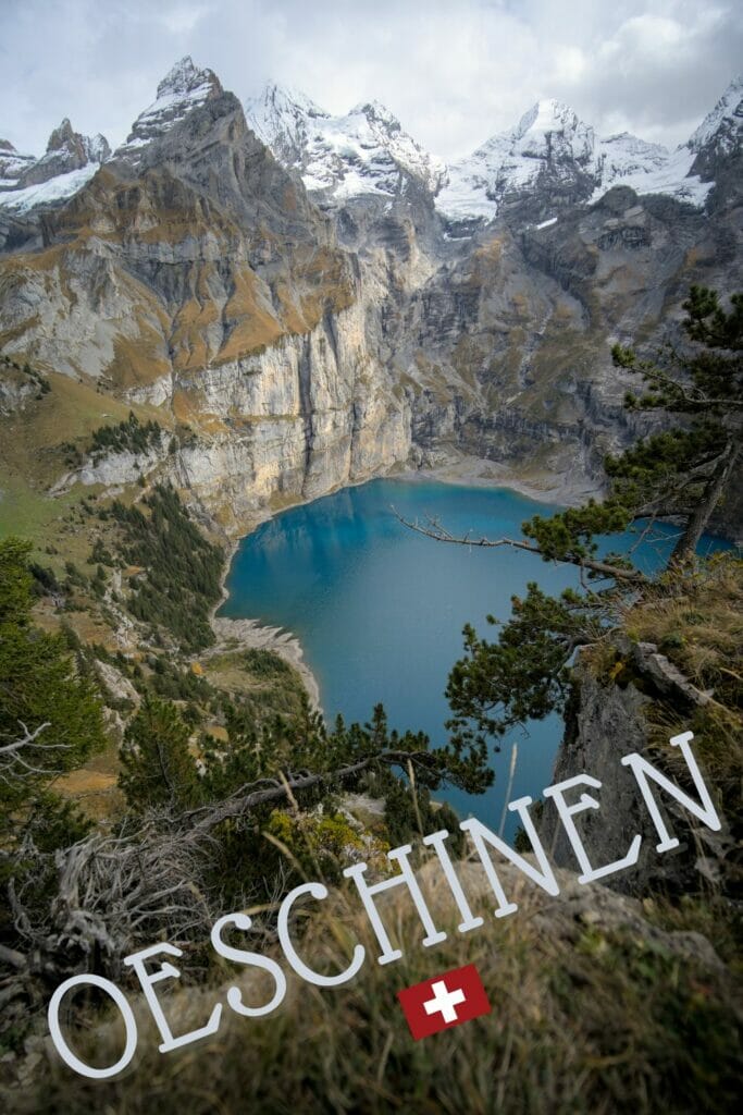
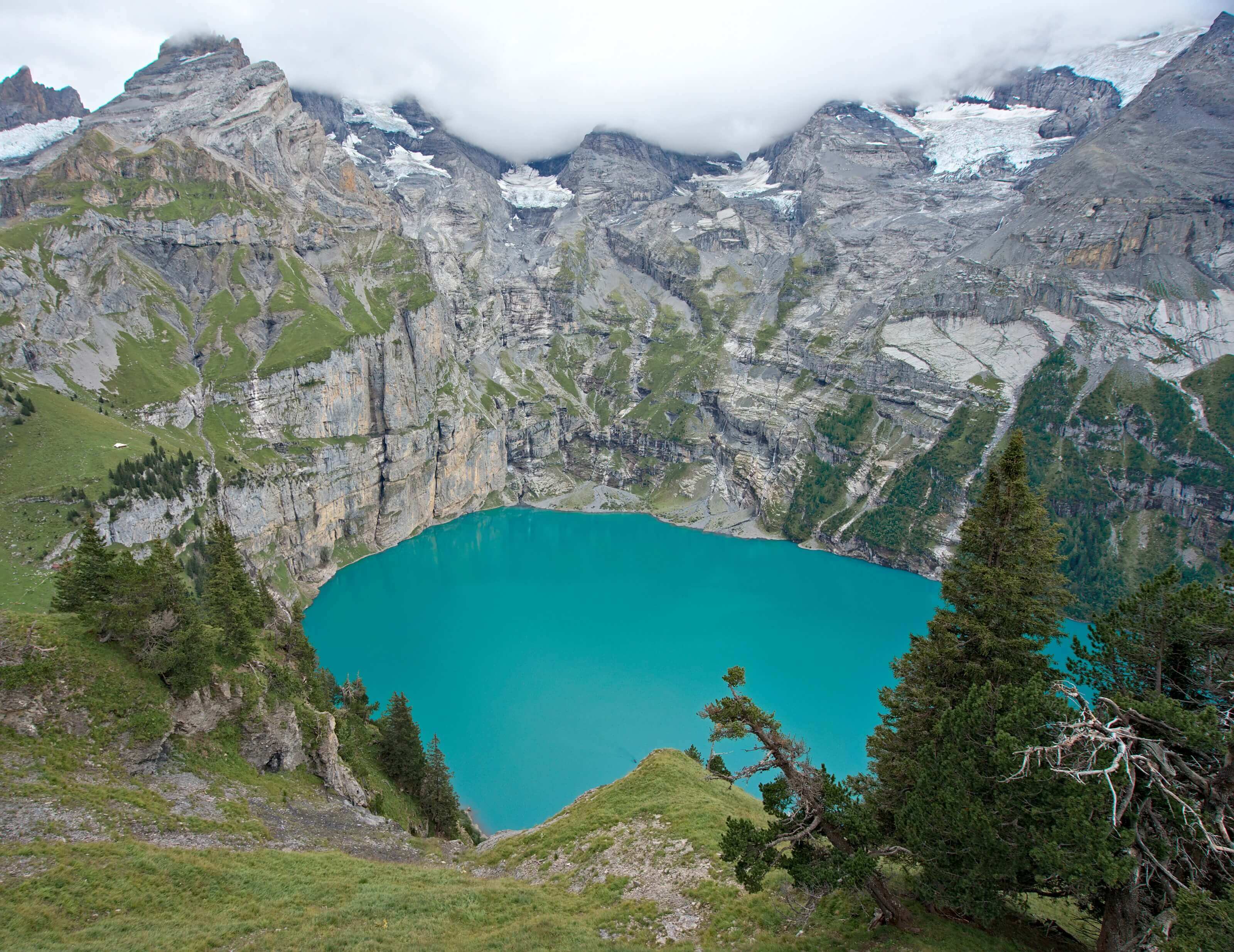
We have seen a lot of mountain lakes in Switzerland and we have to say that Oeschinen lake (or Oeschinensee in German) is really one of our favorites. Surrounded by a cirque of impressive mountains, its crystalline waters with multiple shades of blue ( even green) provide unforgettable landscapes to tourists and hikers.
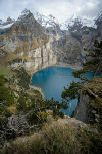
We already came 3 times to the Oeschinen lake and always had the same amazement. The 1st time was during the spring of 2016 just after our round the world trip. Then we went back there during the summer of 2017 during our hike across Switzerland through the Alps because the Oeschinen lake is in fact on the trail No1 of the Via Alpina. And finally, we went back there during the autumn of 2022 during a roadtrip with our van through central Switzerland.
Even if the Oeschinensee is no longer the well-kept secret it was a few years ago, if you are not afraid to hike a bit, you will be able to enjoy these incredible panoramas rather peacefully. And as we are nice people, we will make your life easier by sharing with you all the infos you’ll need to hike Oeschinen lake in this post.
- Oeschinensee: a crystal clear lake surrounded by mountains
- Where is the Oeschinen lake and how do you get there?
- The best hikes around the Oeschinen lake
- Other activities around Lake Oeschinen
- Oeschinen lake in winter?
- Landslide danger at Oeschinen lake
- Where to stay in Kandersteg to visit the Oeschinen lake?
Note: Everything you need to know about this roadtrip in Switzerland and our budget is in this post
Oeschinensee: a crystal clear lake surrounded by mountains
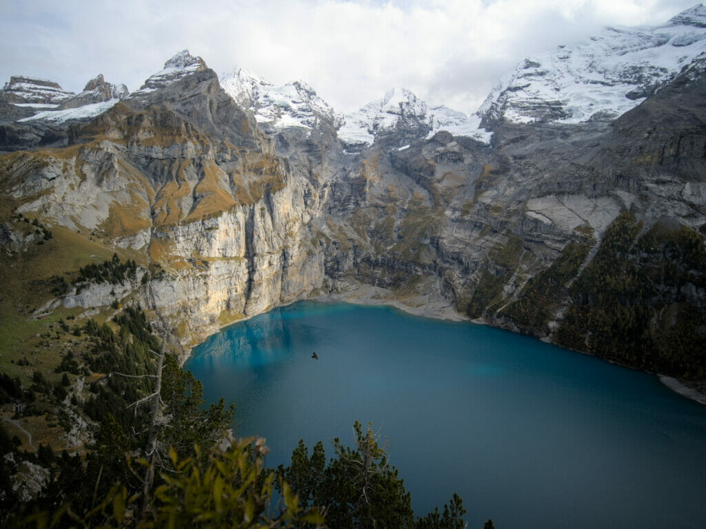
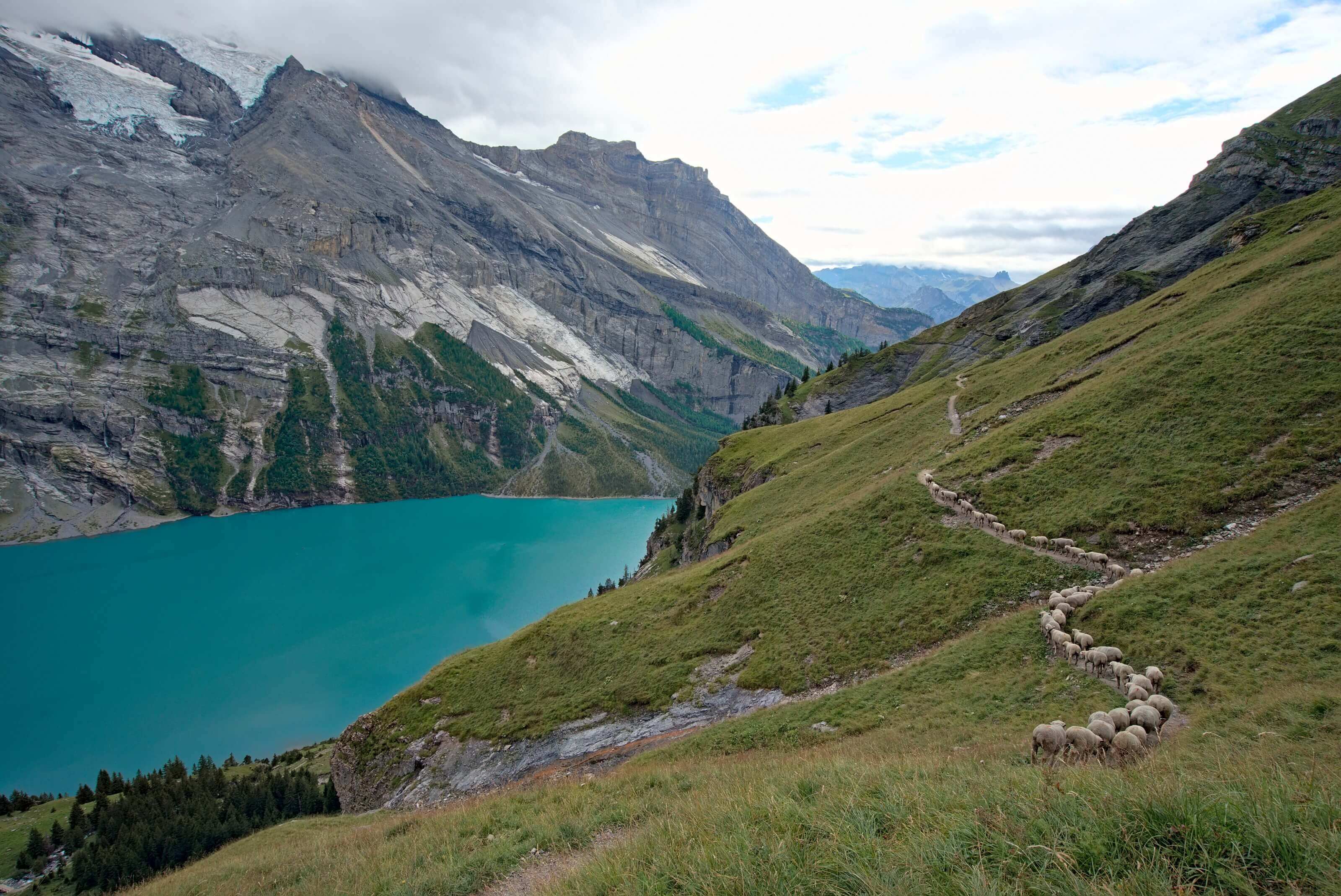
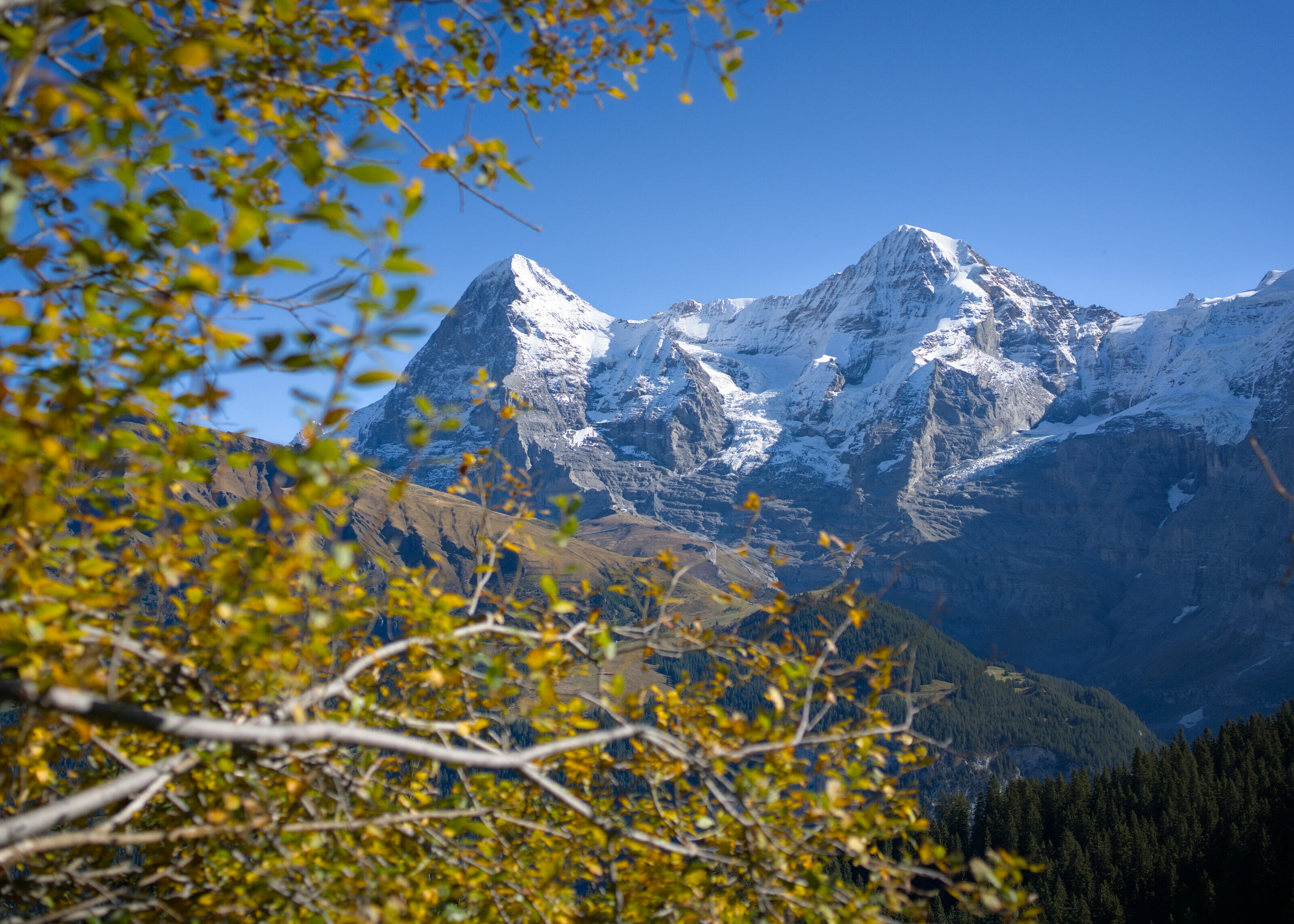
What makes the lake of Oeschinen so special is that it is surrounded by 3000m peaks (the Doldenhorn 3638m, the Fründehorn 3368m, the Oeschinenhorn 3486m, the Blüemlisalphorn 3660m) and their respective glaciers which are hanging over the lake (unfortunately not for very long considering how fast they are melting). It is as if the lake is in a sort of amphitheater of mountains and glaciers that opens up on the side of Kandersteg village.
There are also the crystalline rivers that flow into the lake from the glaciers through numerous waterfalls. And of course the blue-green shades which vary according to the weather and the seasons… all this makes the Oeschinen lake a wonderful place to enjoy all year round!
Where is the Oeschinen lake and how do you get there?
The Oeschinensee is located at an altitude of about 1600m in the Berner Oberland (the Bernese high lands in English… or the Bernese Alps if you prefer 😉 ), just above the village of Kandersteg. Although this village is located at the very bottom of the Kander valley, it is very easy to reach by train or by car.
How to get to Kandersteg
There are many different ways to get to Kandersteg from Wallis or the canton of Bern.
- from Wallis:
- By train: From Brig station, it takes 50 minutes by train to Kandersteg through the Lötschberg tunnel.
- By car: You have to drive up to the Lötschental at Gampel up to the station Goppensteil. Then you’ll have to get your car on the train to cross the Lötschberg tunnel to Kandersteg… a cool experience if you’ve never tried it. (The price varies depending on the day of the week (27 CHF during the week and 29,5 CHF on weekends – Note: there is a 2 CHF discount if you buy the ticket online on the official website instead of at the ticket office on site)).
- From the canton of Bern:
- By train: Direct train from Bern station and it takes about 1h10 to get there.
- By car: From Spiez, you have to continue towards Frutigen and then go up to the bottom of the Kander valley until you reach Kandersteg.
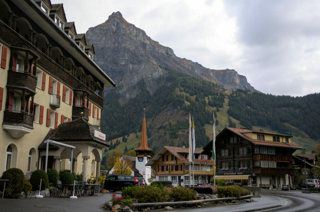
And from the village of Kandersteg, there are also several ways to reach the Oeschinen lake:
Hiking from Kandersteg to Oeschinensee
You know us, we obviously chose to hike up to the Oeschinen lake 😉 (it’s much cheaper and it’s very good for your health lol). It takes between 1h and 1h30 walking to reach the Oeschinensee depending on the trail you choose.
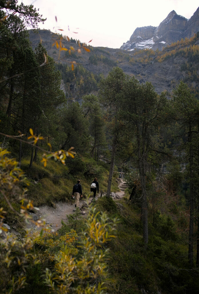
On our side, we took each time the shortest path (the red one below, 1h walk from Kandersteg) since we planned to hike further from the lake. We have to say that it’s not the most panoramic path in the history… so if you want, you could also try the other path (in green below) which goes up in the forest from the Nordic Arena (the ski jumping hills)
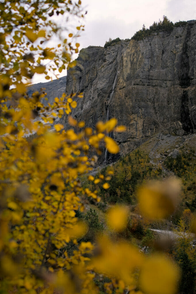
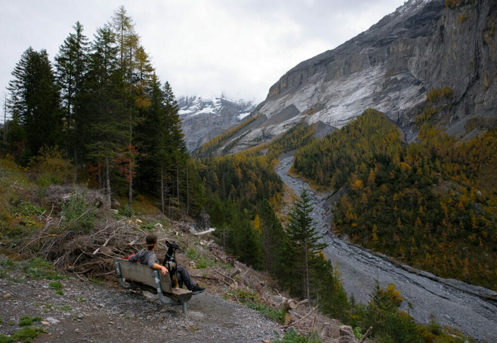
In case you need it, you will also find a map directly on the website of Kandersteg.
If you’re planning a trip to Switzerland or if you live here and wish to discover some new spots, don’t miss our new ebook. Released in May 2025, this 75-page guide will help you prepare for your upcoming stay in Switzerland. We’ve compiled all our best tips and tricks for visiting our beloved little country without breaking the bank. You’ll find advice on transportation, accommodations, where to shop, as well as a list of free activities and events throughout the seasons, along with our personal recommendations for hikes and must-see spots, and a selection of off-the-beaten-path itineraries (with estimated budgets). This ultra-complete guide also includes a fantastic interactive map featuring over 500 addresses and deals.

To learn more about the ebook and the interactive map, the introductory article is available here.
Kandersteg – Oeschinensee with the cable car
If you can’t (or don’t want to) hike up, there is also a gondola that leaves from Kandersteg and takes you up to a 15 minute walk from the Oeschinen lake. Of course the ride is not free and it’s typically the kind of thing that is expensive in Switzerland (if you want to visit Switzerland on a budget, you shouldn’t be afraid to hike). Count 30chfs for a round trip ticket at full price. More info about schedules and fares here.
Are you planning to visit Switzerland by train? We recommend you to read our article which will allow you to compare the Swiss travel pass with the half-fare card. The article also includes 3 examples of train routes through Switzerland and the associated budget depending on the ticket you take.
If you prefer not to take a travel pass, but rather take advantage of the Supersaver tickets and day passes, then go to this post for all the details.
The best hikes around the Oeschinen lake
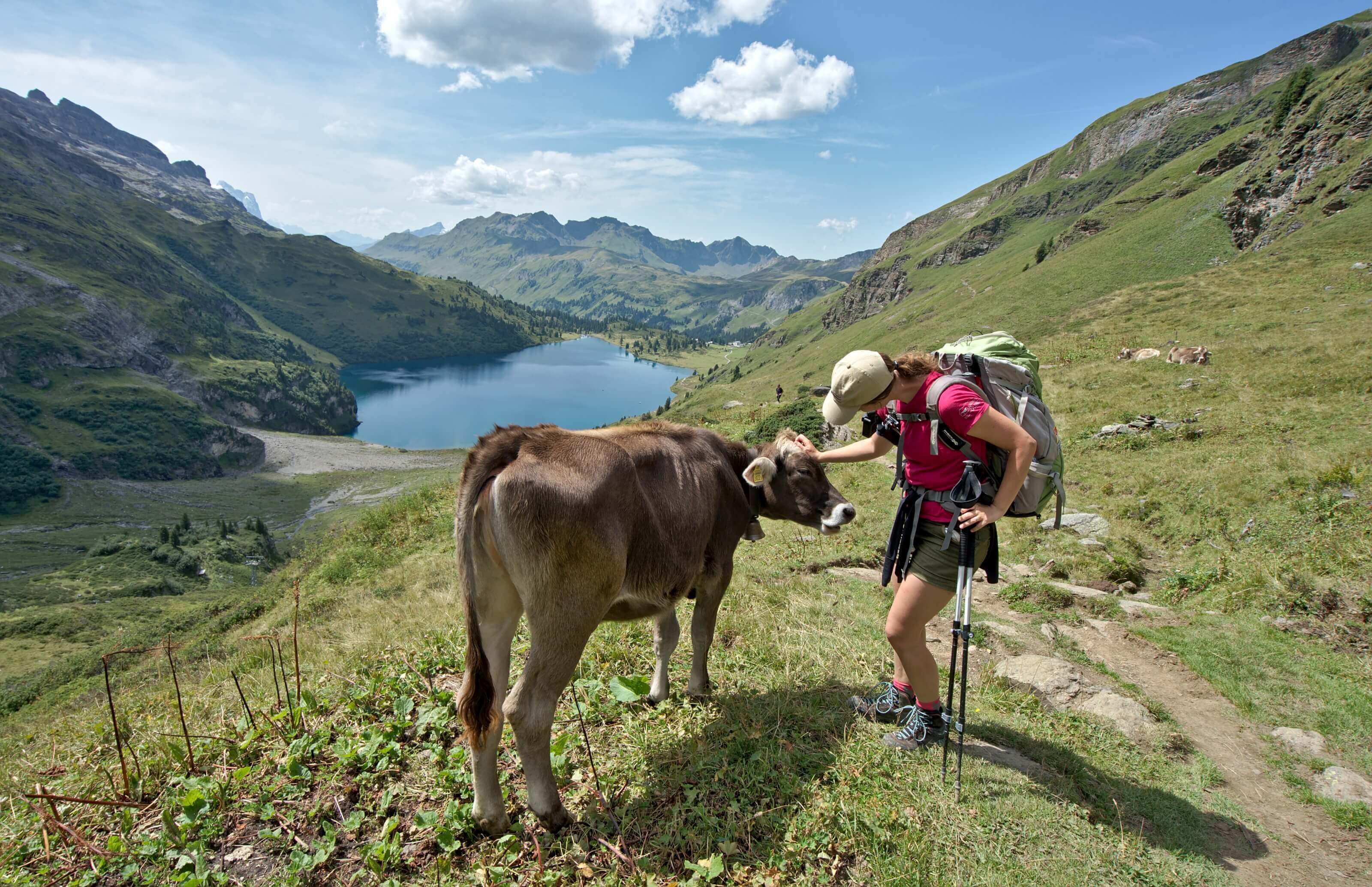
Of course, you could just hike up to the Oeschinen lake, sit on the terrace of one of the 3 restaurants/buvettes with a drink and enjoy the view. But in our humble opinion, the best way to enjoy this magical place is still to walk a bit. This will help you get away from the crowds and admire the lake and its waterfalls from different perspectives.
Easy walk on the Oeschinen lake
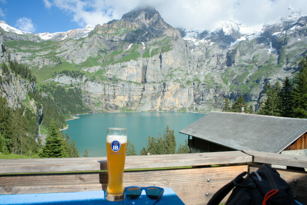
If you don’t feel like doing a big hike, we recommend you to do at least a small loop that goes by the lake shore and goes back up passing by the restaurant “Zur Senhütte” (red route on the map below). By the way, the view from their terrace for a little beer is pretty good, isn’t it?
The Oeschinen lake panorama hike
Honestly, this is THE hike to do if you come to the Oeschinensee for the day. This loop is about 8 kms long (green route on the map below) and will take you on a path that goes up well above the lake. It will offer you landscapes that you will probably never forget 😉 .
It doesn’t really matter if you decide to do the hike in one direction or the other. Just note that if you decide to do it clockwise, the climb from the restaurant “Zur Senhütte” is a bit steeper than the other way around. As we prefer to climb the steep sections, we did it clockwise 😉 (But as you can see on the pictures below, it’s not so dramatic either 😉 )
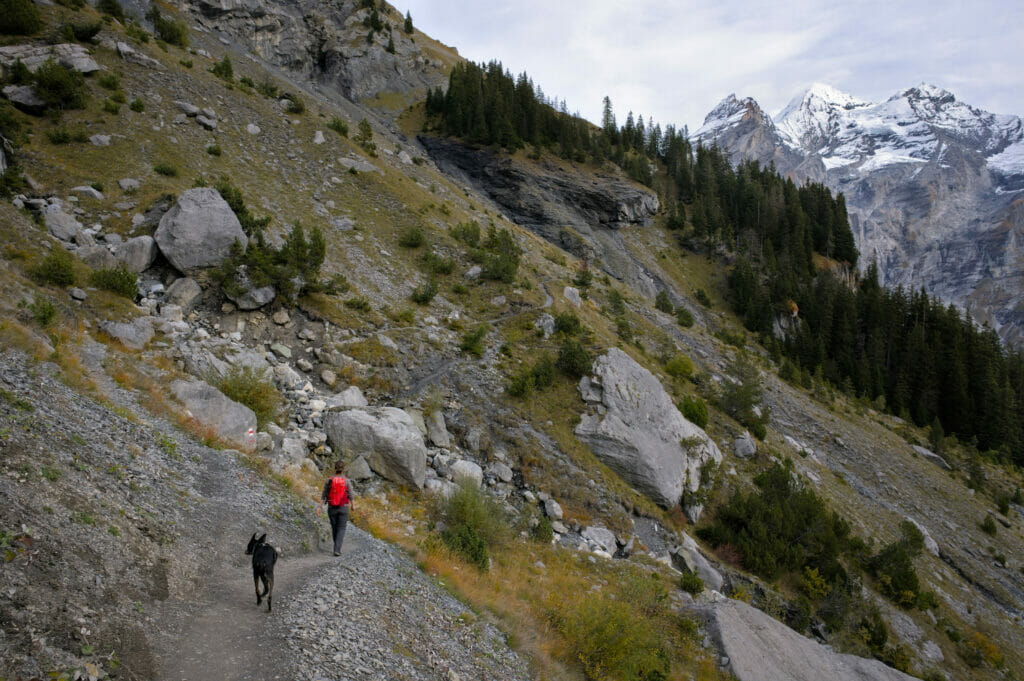
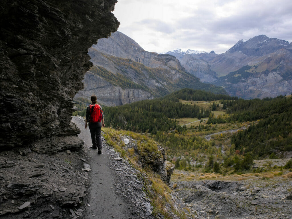
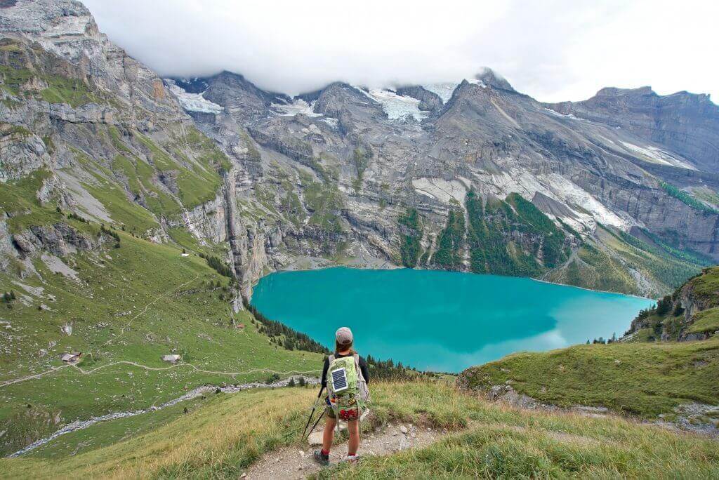
After the main part of the ascent, we reach a balcony trail that offers breathtaking views of the Oeschinen lake. In our opinion, this is the place where you will have the most beautiful panoramas on the Oeschinensee. The 2 km walk to the mountain pasture and the Oberbärgli restaurant is just a pure delight for the eyes.
Note also that from Oberbärgli you can continue to climb to the Hohtürli pass and the Blüemlisalp hut. But I’ll talk about this option later.
Here are some pictures of our 2 hikes on this trail to get you motivated to get up there 😉
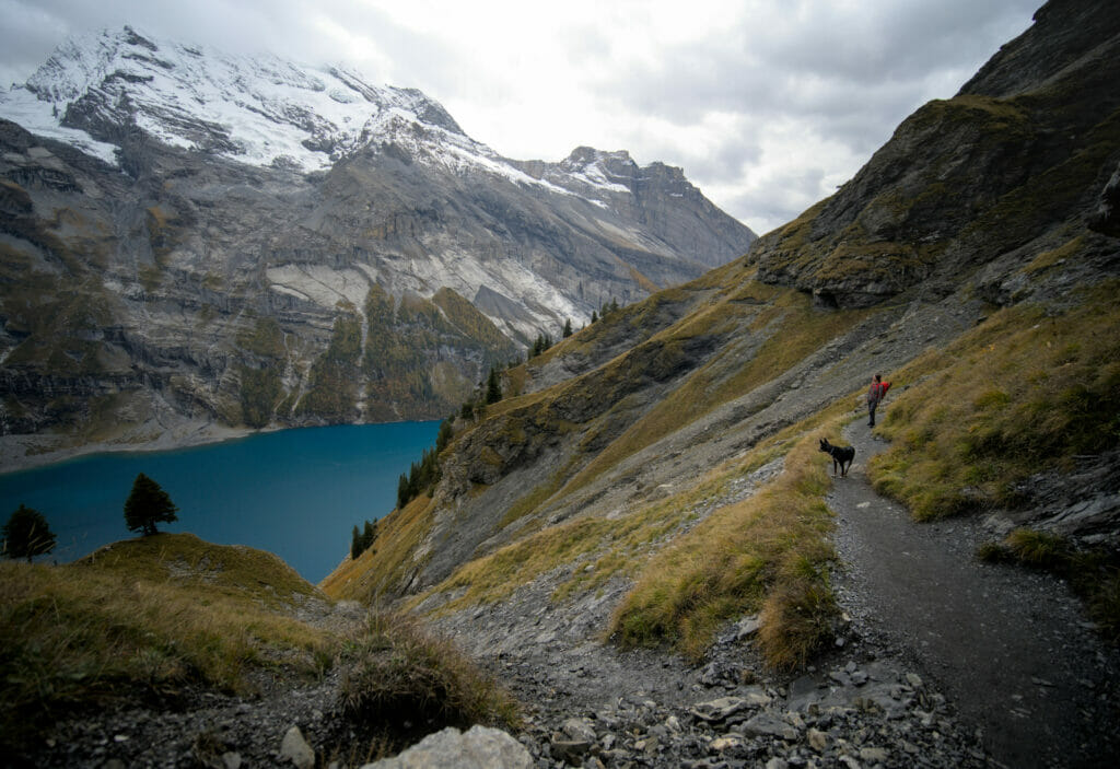

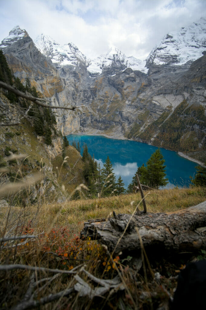
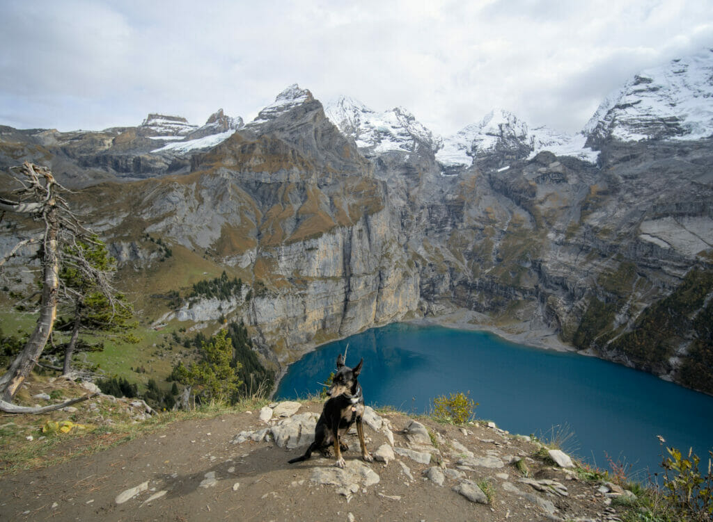
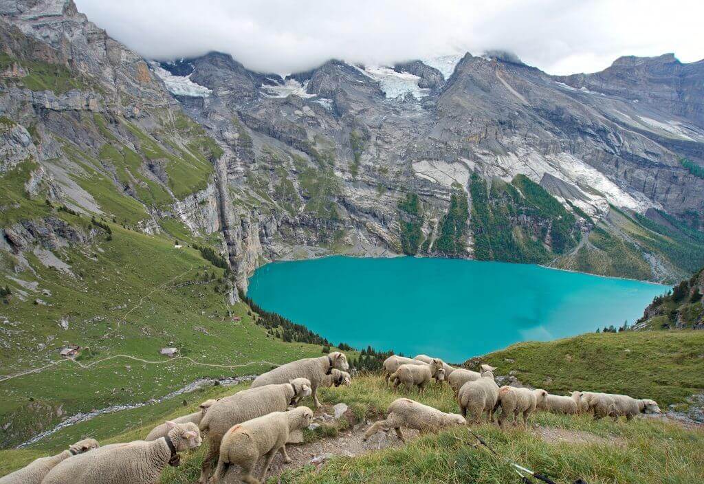
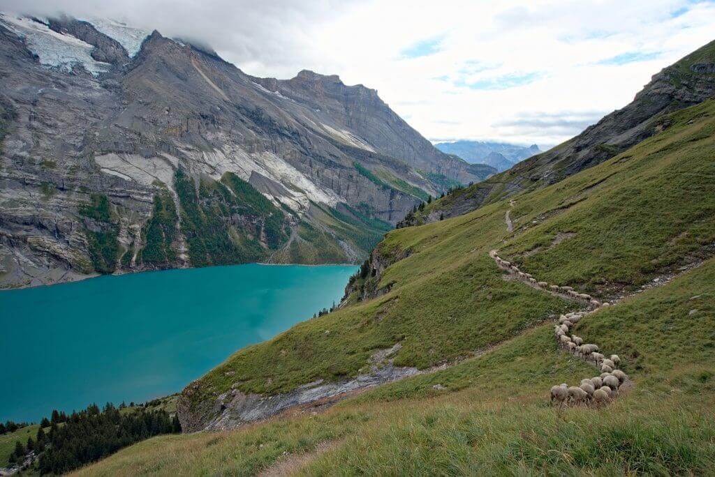
From the Oberbärgli snack, you just have to go down a well-marked path under a rocky wall to another small snack: Unterbärgli. There you can turn off onto a blue (and therefore difficult) path to go up to the Fründen hut (more details later).
Finally, from there you only have 2 kms of a pleasant descent along the Oeschinen lake to complete this beautiful hike.
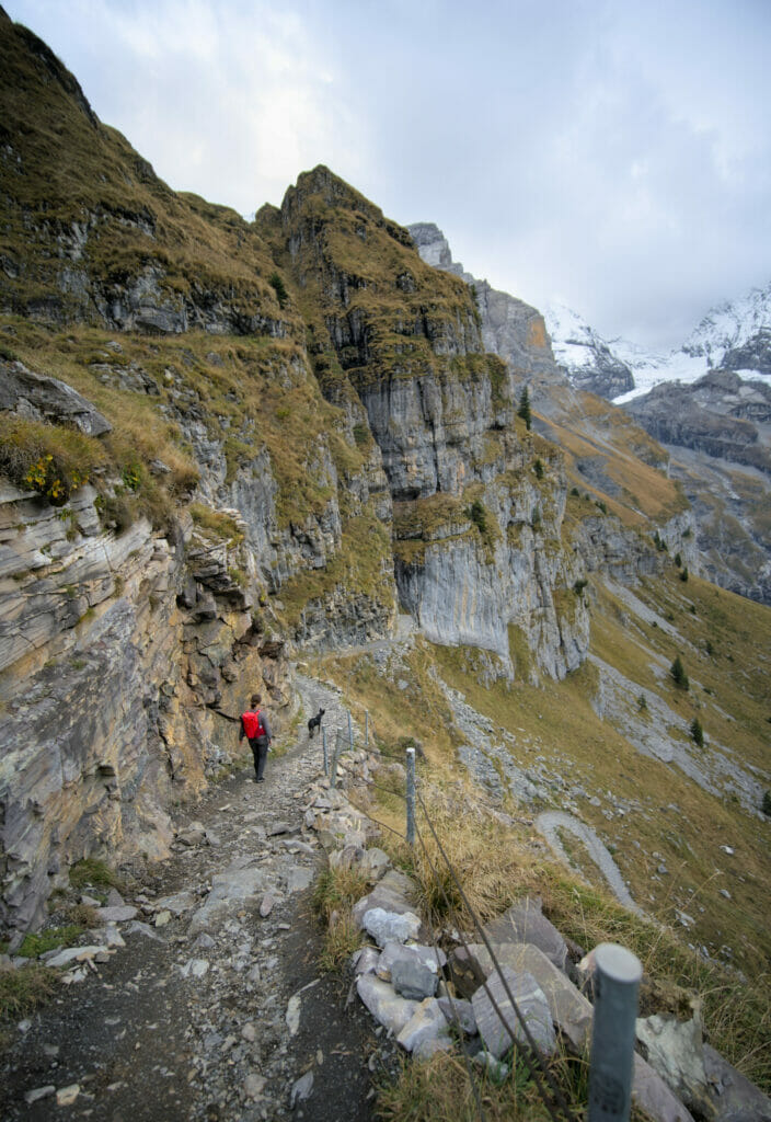
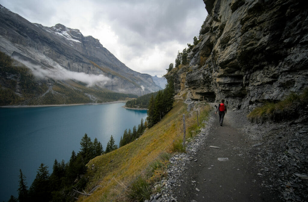
The Hohtürli pass and the Blüemlisalp hut (Blüemlisalphütte)
The Hohtürli is the highest pass of the Via Alpina with its 2778m of altitude (the trail that crosses Switzerland through the Alps and that we did in 2017) and the very popular Blüemlisalp hut is just above the pass. From up there, you’ll have a great view of Kandersteg on one side and the Kiental on the other (with Lake Thun in the background).
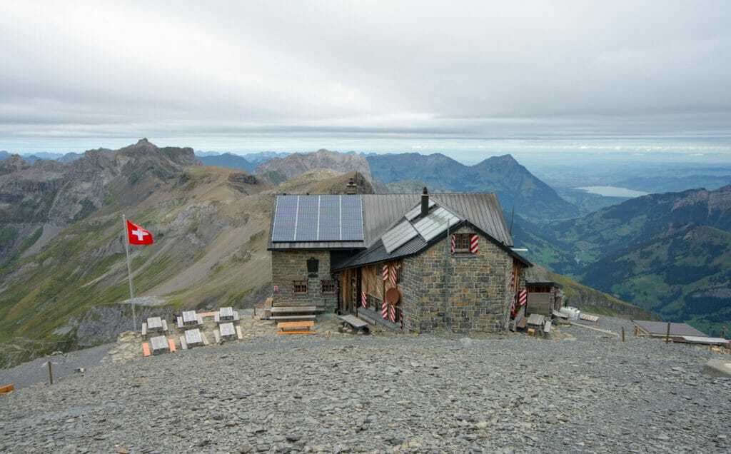
Honestly, if you go up to the Blüemlisalphütte, I think it’s clearly worth sleeping at the hut and doing the hike over 2 days (the round trip from Oeschinen lake is about 17 kms and 1300m of d+-, it’s the light blue route on the map below). This way you can take your time and enjoy the beautiful panorama from up there in the evening and the morning!
To get to the Hohtürli pass and the Blüemlisalp hut, there are 2 options:
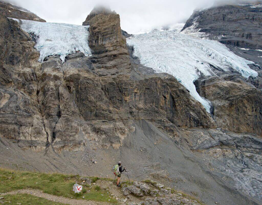
You can climb from the Oeschinen lake (by the high or low path) to Oberbärgli. Then you have to continue the ascent on a well-marked path which goes along the foot of the Blüemlisalp glacier (light blue path on the map below). After about 4 kms and more than 800m of d+, you will finally reach the Hohtürli and the hut.
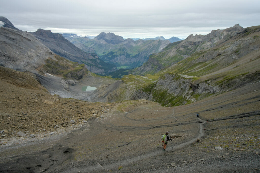
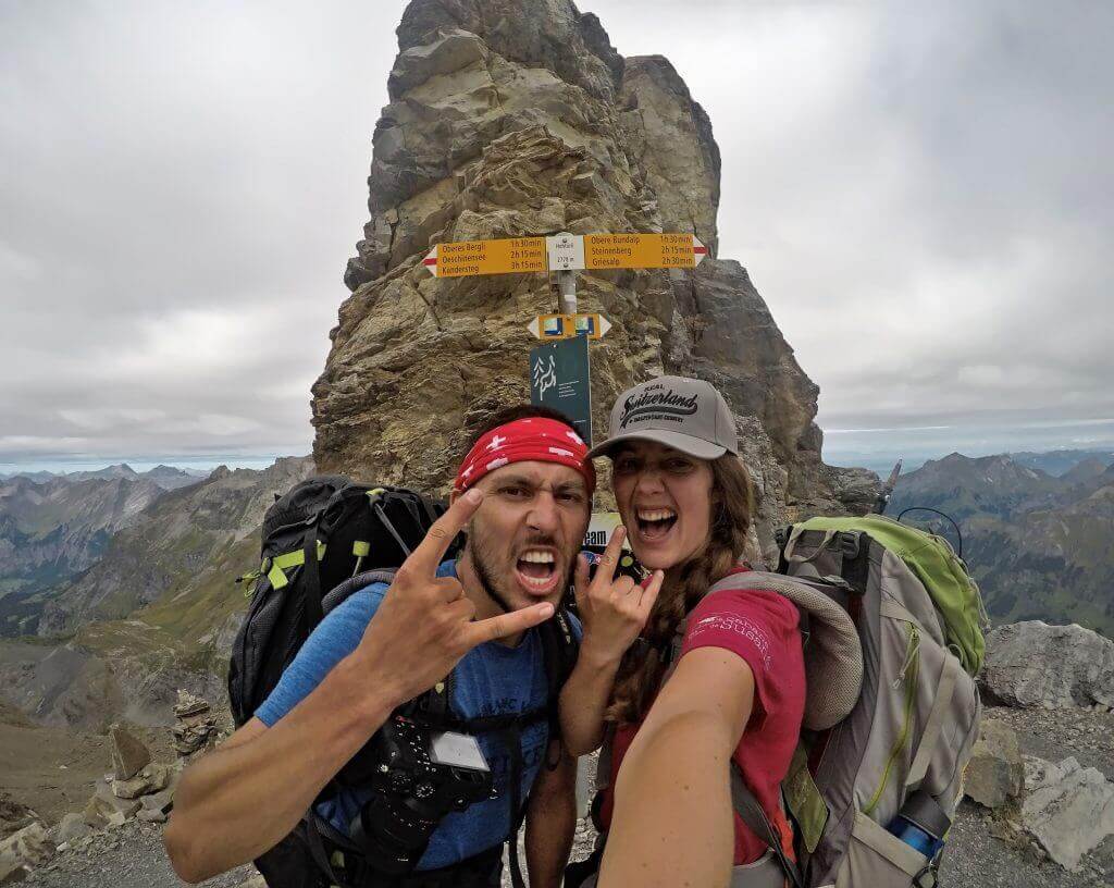
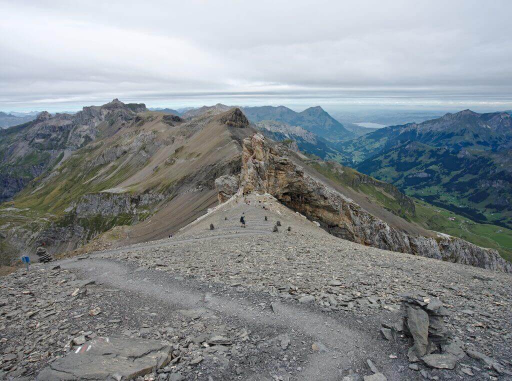
Otherwise you could also start from the other valley (Kiental) and climb from Griesalp to the Blüemlisalp hut. But we have to tell you, there is more than 1400m of d+ and it was clearly the steepest climb we did on the Via Alpina. In any case at the time we had a tough time with the big backpacks on our backs but we keep an excellent memory of it anyway 😉
But if you have the legs, it can be a wonderful crossing to do between these 2 valleys (with the added satisfaction of having climbed the highest pass of the Via Alpina 🙂 ). For more info on the Hohtürli climb from Griesalp, you can read our 2017 post which also contains some videos.
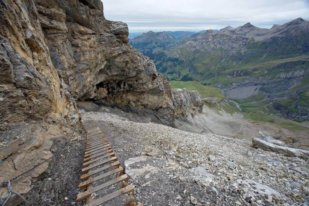
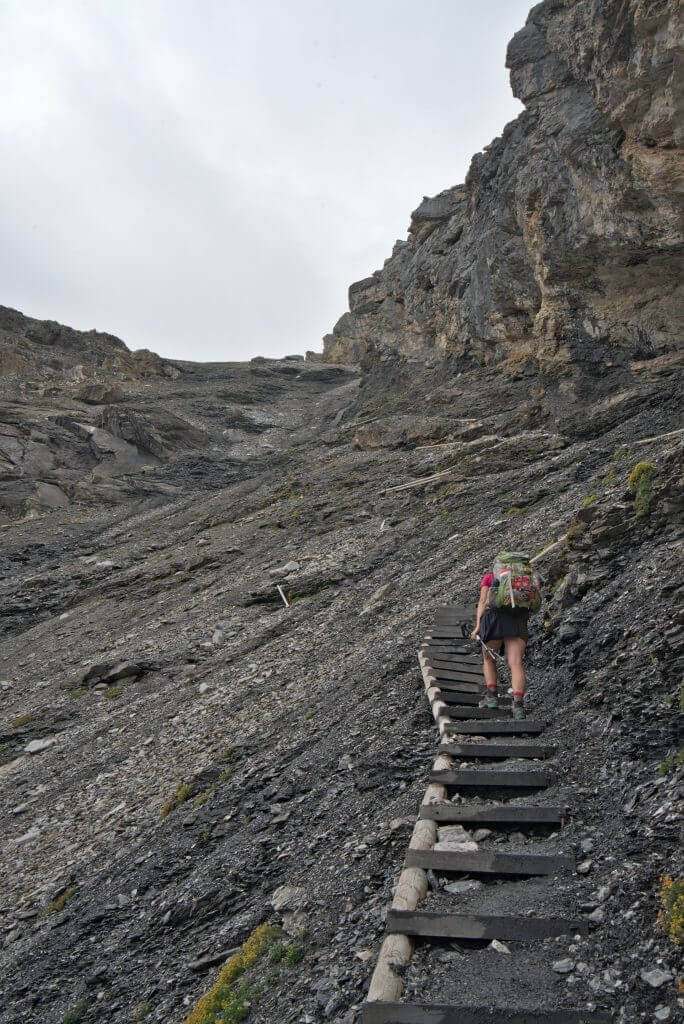
The Fründen hut (Fründenhütte) through the Fründenschnur
The ascent to the Fründen hut (purple route below) is the only hike around the Oeschinen lake that we have not done yet. It also became more difficult since the normal route to the hut via the south shore of the lake was closed in 2020 due to the risk of landslides (more about this below).
So the only possible way to go up to this hut is to take the blue path from Unterbärgli to cross the wall overhanging the Oeschinen lake by a steep path: the Fründenschnur (T4 on the CAS scale). When you look at the cliff, you wonder where a path can pass ;). However, since 2020 this section has been completely re-equipped so that you can easily climb it with your Via Ferrata gear.
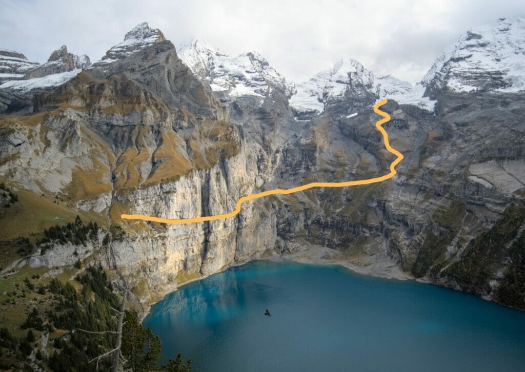
Honestly we really want to do this hike one of these days with Fabienne, but if you are afraid of heights or if you are not used to this kind of terrain, we recommend you to skip it. For more information on this hike, you can have a look at this page of the CAS or you will find very nice pictures on this website.
Hiking map of Lake Oeschinen
To help you prepare your hikes at Lake Oeschinen, you will find these 4 routes on the interactive map below:
Other activities around Lake Oeschinen
If hiking is not really your thing, here are some ideas of other things to do or see around Lake Oeschinen.
Summer sledging (toboggan) at the Oeschinen lake
At the end of the gondola that goes up to the Oeschinen lake from Kandersteg, there is a summer toboggan run that is open from May to October when the weather is dry. This is not really our thing but if you come to the Oeschinensee with your family it could be a great activity for the kids. For more info on opening hours and prices, go to the Oeschinen lake website.
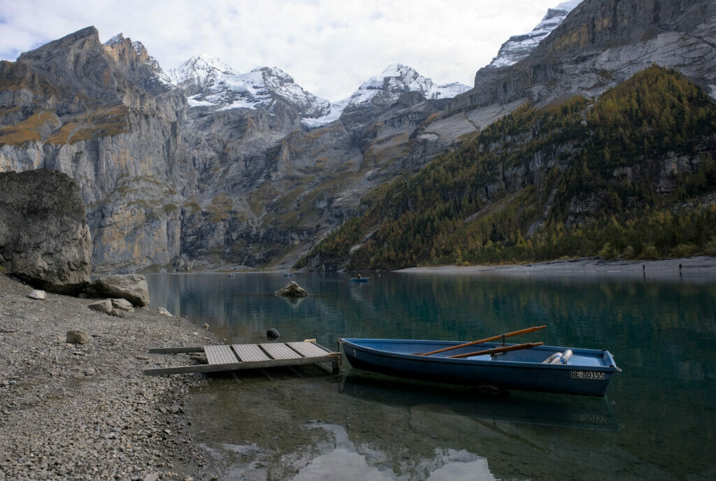
Rowboat trip on the Oeschinen lake
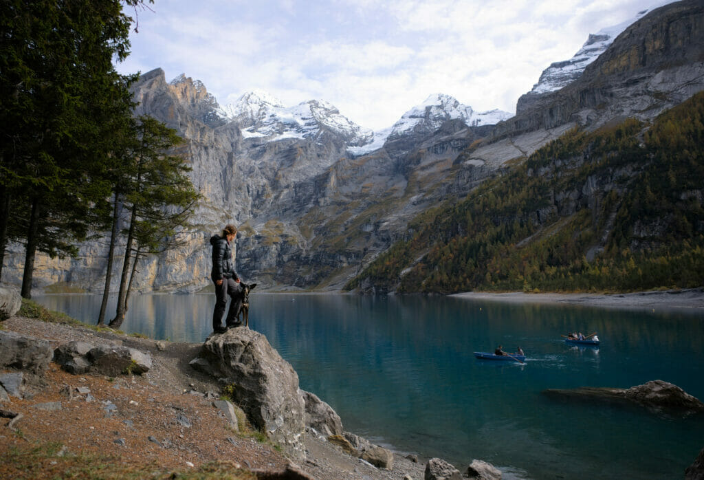
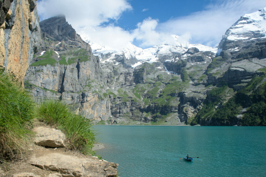
One activity that is VERY popular at Oeschinen lake is the rental of small rowing boats to navigate for a while on the Oeschinensee. So I guess it was probably originally fishermen who used this kind of boats (there were a few of them during our last visit). But nowadays, the vast majority of people simply rent these boats by the half-hour or by the hour to discover the lake in a different way (or for a little romantic trip 😉 )
But still, this is only our opinion but we find that it is really expensive to pay 18chfs for 30 minutes or 29chfs for one hour to row on the lake. All the information (prices and opening hours) are here.
Discovering the Blausee (or blue lake)
A few minutes by car (or bus) from Kandersteg lies the (too?) famous Blausee (or blue lake in French), which is certainly even more famous than the Oeschinen lake itself. To be completely honest with you, we never really considered this place because it has the reputation of being extremely touristy and we were afraid to be disappointed.
But as we were passing right next to it, we decided to have a look at it by coming during the week and at the opening time (9 am). So our first impression is mixed because we arrive first on a big pay car park which shows well the touristic potential of the place. After having paid a rather expensive entrance to see a lake (between 8 and 12chfs per person… know that you can have 50% discount if you paid the visitor’s tax, which was our case because we had slept with the van at the Kandersteg campsite), we enter the small Blausee natural park.
So we have to say that the place is very beautiful. The color of the lake is magnificent and the whole is even more beautiful in autumn with the orange leaves floating on the lake. We take advantage of the morning quietness to walk around the lake before the first tourist buses arrive (around 9:30 am the first was already there). We did the tour in 30 minutes without problem because the blausee and its park are rather small.
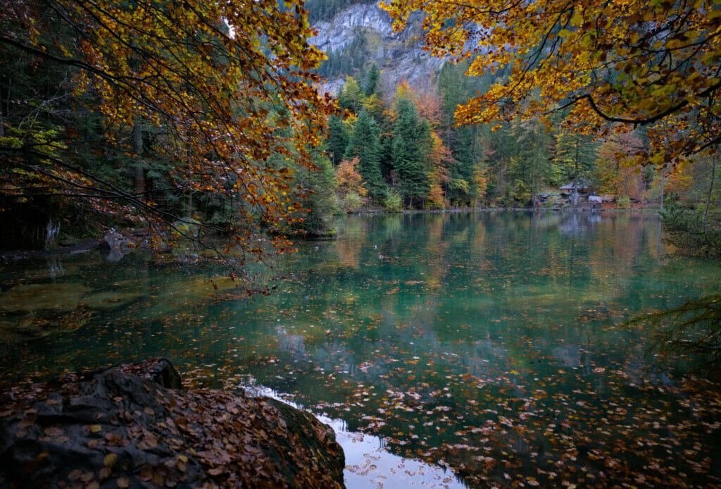
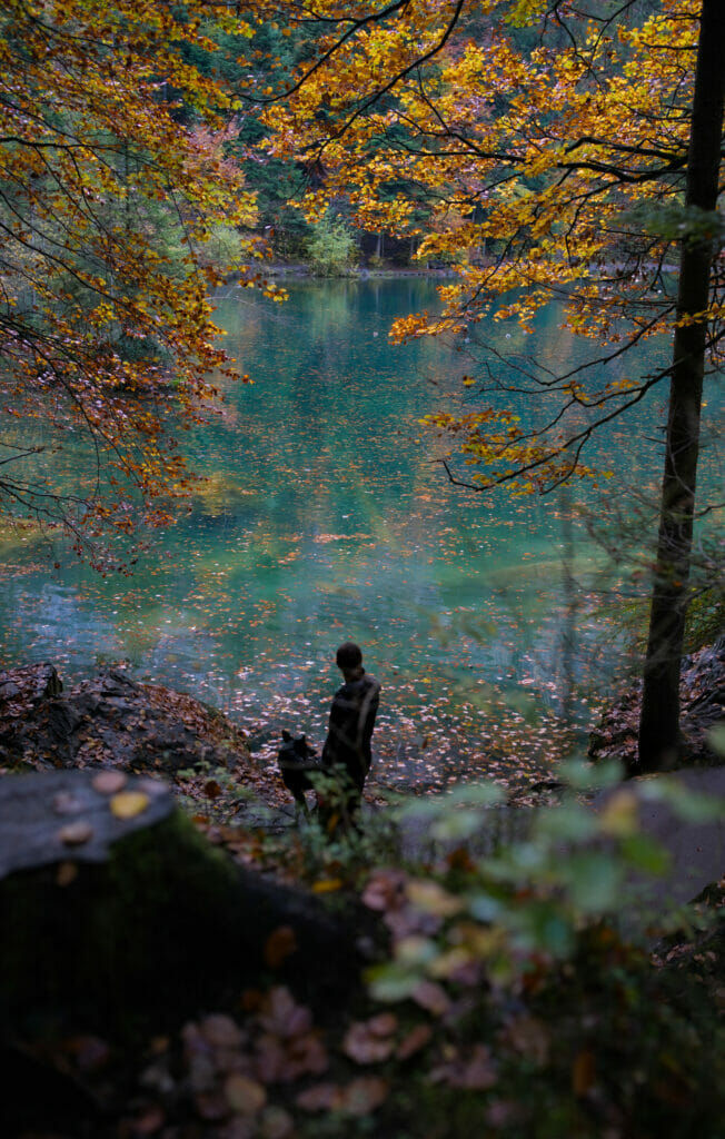
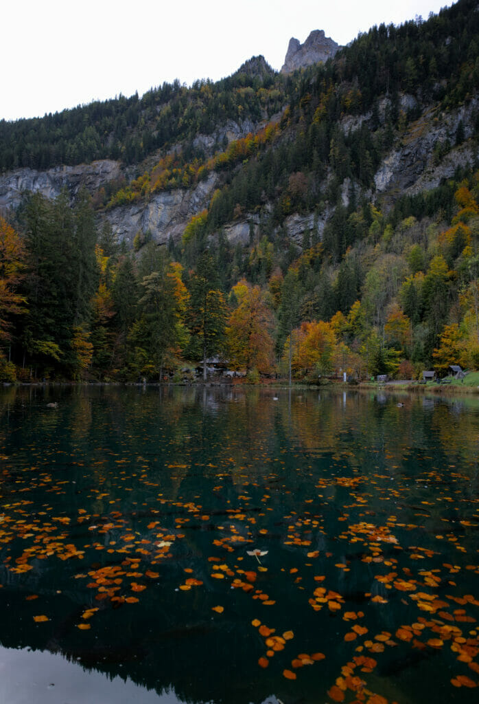
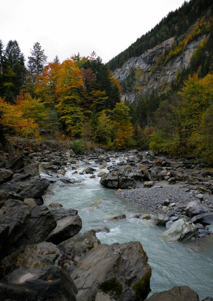
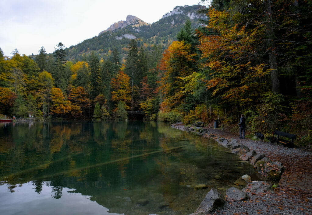
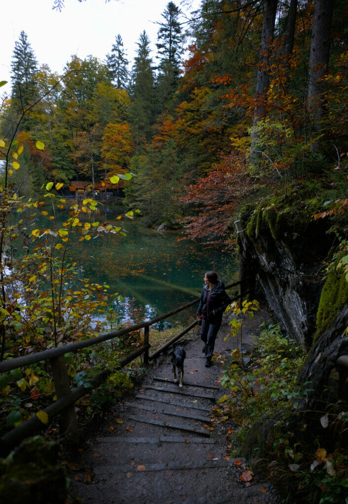
As you can see, this place is beautiful, but if you are looking for peace and quiet, you better skip it. At the edge of the lake there is also a café, a restaurant, a hotel/spa, a souvenir store… a little too much infrastructure for our taste for such a small lake 😉 . For more info on the Blausee (prices, schedules, activities etc…), go on their website.
Oeschinen lake in winter?
Kandersteg is also a small ski resort in winter (3-4 lifts and some slopes). And for snowshoeing enthusiasts, it is also possible to walk up to Oeschinen lake in winter. And if the weather is cold enough and the lake is well frozen, there is a marked ice walk on the Oeschinensee to discover it in a unique way. It is also possible to ice skate and to do ice fishing 😉 . More info here.
Landslide danger at Oeschinen lake
We often talk about ecology on the blog and the village of Kandersteg unfortunately already has to live with the consequences of climate change.
Due to global warming and permafrost melting, the Spitzer Stein mountain range overlooking the kandersteg village and Oeschinen lake is in danger of collapsing. It has already lost part of its tip at the end of 2019, but much larger rock masses threaten to collapse, endangering the villagers and hikers.
This mountain is certainly one of the most observed ones in Switzerland, the goal being to be able to warn the population early enough in case of unusual movements of the mountain. By the way, if you come to Kandersteg, you will be able to see the protection dams that have been put in place to protect the houses in case of landslides.
This is also the reason why all the trails on the southern shore of Oeschinen lake, where we hiked in 2016-2017, are now closed.
Where to stay in Kandersteg to visit the Oeschinen lake?
As in many municipalities in Switzerland, one of the advantages of sleeping in the area (and therefore paying the tourist tax) is that you are entitled to a guest card which gives you access to many discounts and freebies in the area.
As we were in the region with our van, we slept at the Kandersteg camping which is totally fine for a rather decent price in Switzerland. And so with the night at the camping we were entitled to the guest card which gave us a discount of 50% at the blue lake for example.
And if you don’t want to stay at the camping, there is a good range of accommodation in Kandersteg from about 100chfs per night.
There you go, I think you know everything about Oeschinen lake! We hope you will enjoy this little jewel of the Swiss Alps as much as we do and we will see you soon for new adventures in our beautiful mountains.
Pin it on Pinterest


Join the discussion