We continue today our series of the most beautiful hikes to do in autumn in the canton of Valais! And for this hike we decided to go towards one of the most beautiful regions to observe the magnificent larch trees which turn all orange and yellow at the approach of winter: Haute Nendaz and the Balavaux larch trees. (ok to be fair, this region is our favorite just after the Val d'Hérens) 😉
Start of the hike at the Gouille d'Ouché
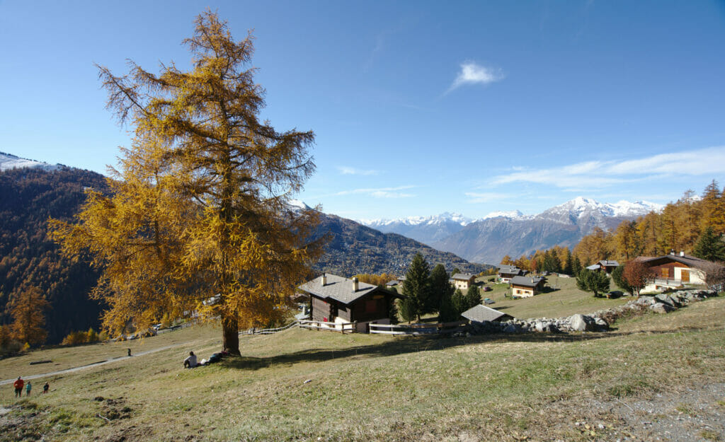
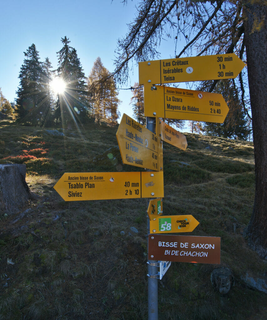
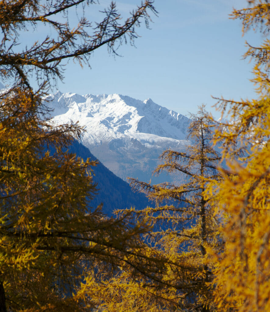
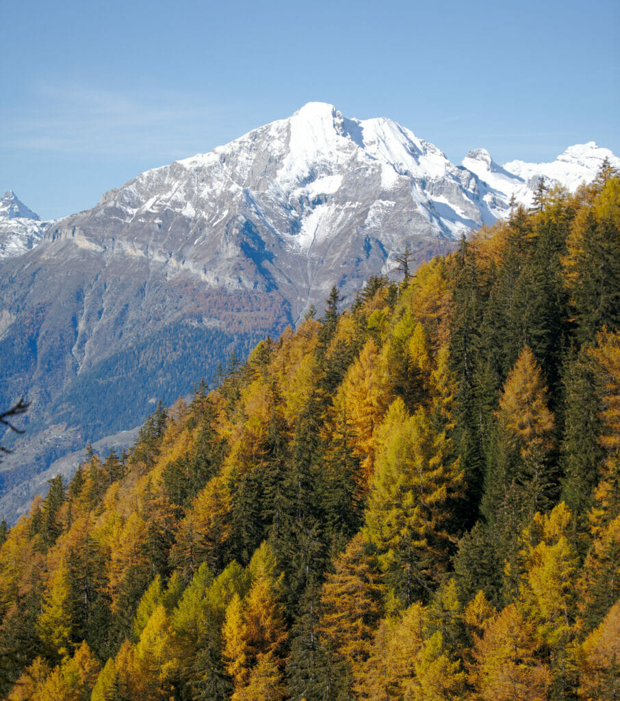
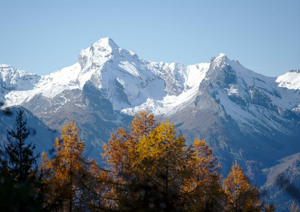
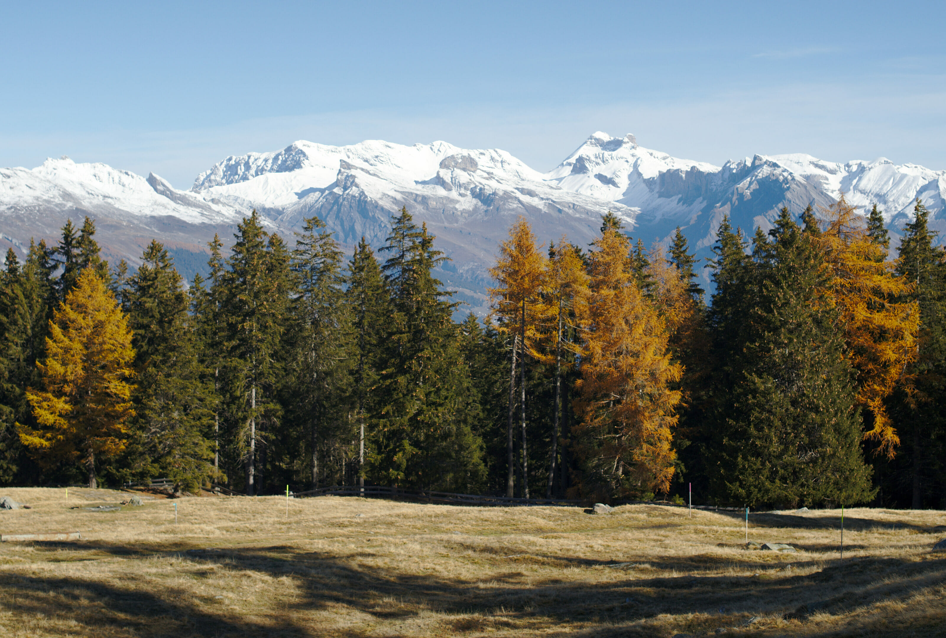
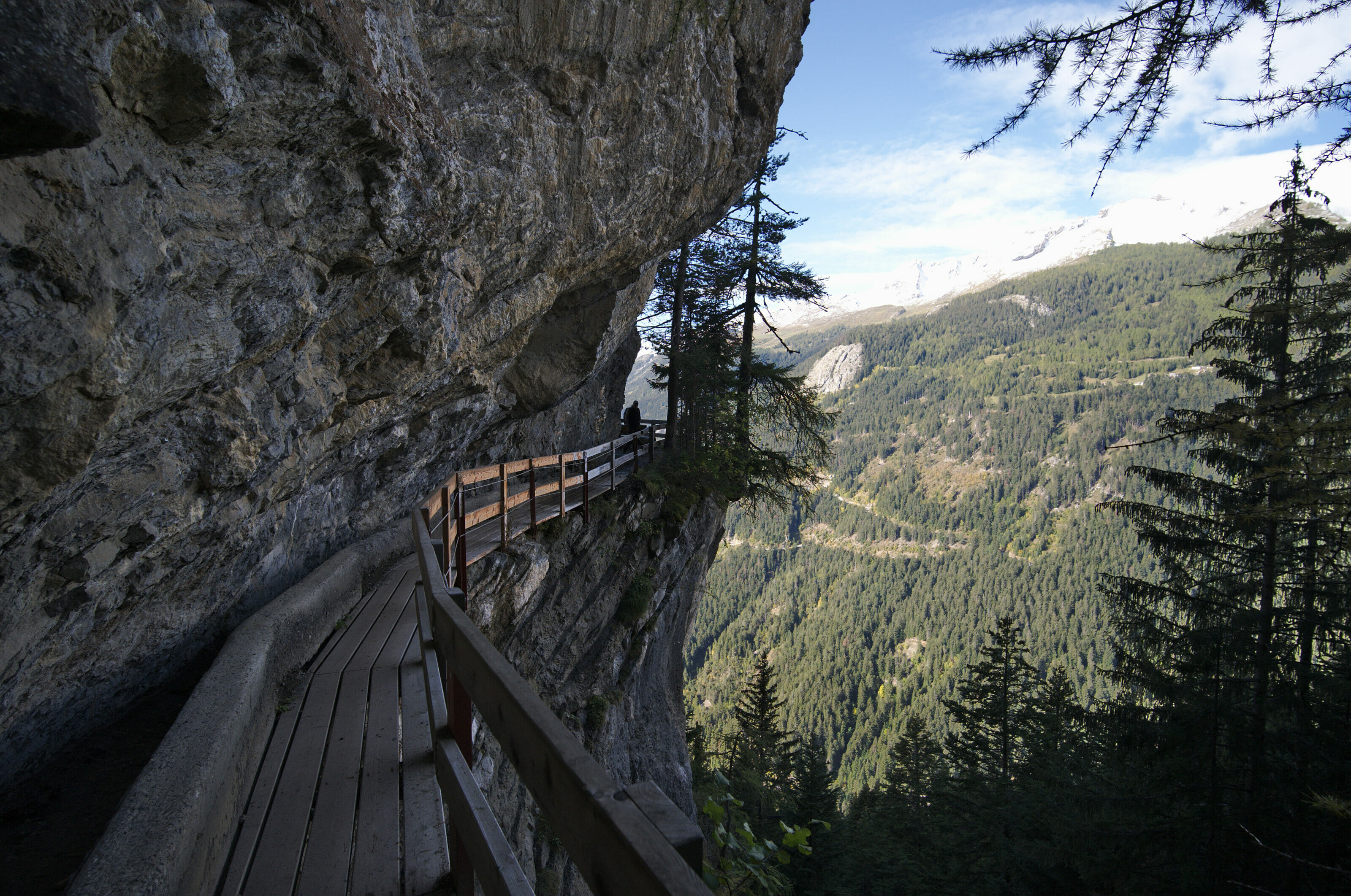
To begin this nice autumn hike we started by going to the small parking lot which is close to the gouille d'Ouché (see on the map at the end of the article). From the parking lot we first passed the gouille d'Ouché before quickly reaching the superb bisse de Saxon. From the first meters along the bisse we are under the spell!!! All the larch trees around us are orange and in the places where the forest is a little less dense we can see the snowy summits pointing out… pfiouuu the contrasts of colors are striking!
Reaching Pra Da Dzeu and its magnificent viewpoint
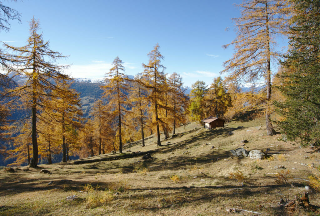
Our first stage of the day was the splendid mountain pasture of Pra Da Dzeu located along the bisse de Saxon on the commune of Isérables. The name Pra da Dzeu is a name that comes from the regional patois and means "meadow in the forest". The place is really beautiful because we have a superb clearing on the mountains while being surrounded by larch trees.
Walk along the bisse de Saxon
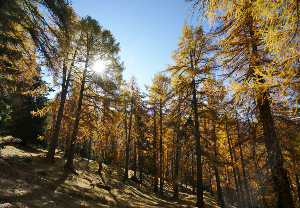
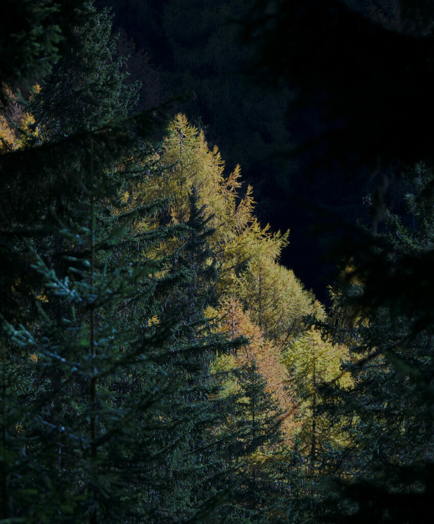
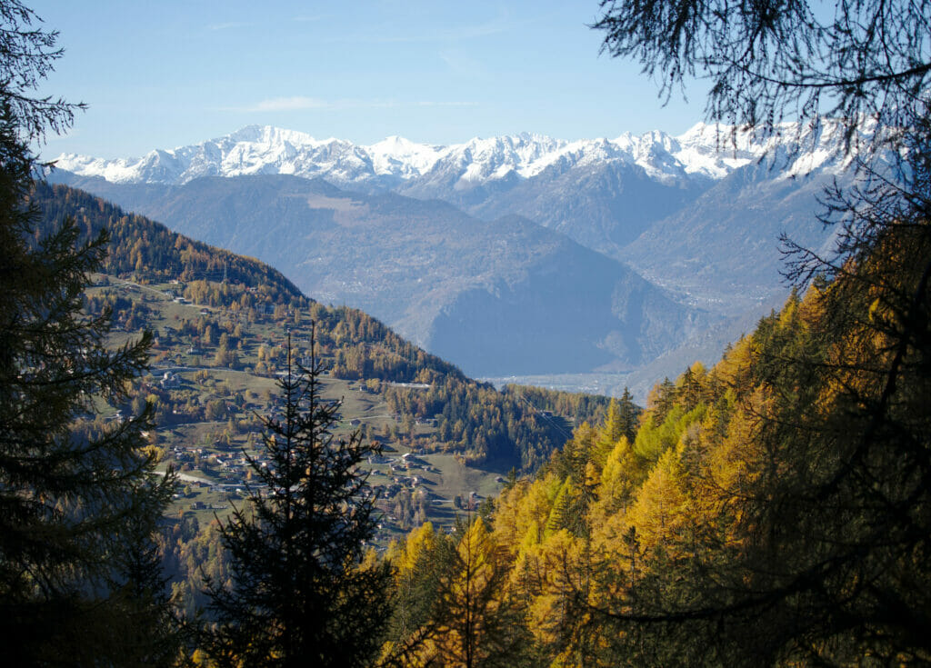
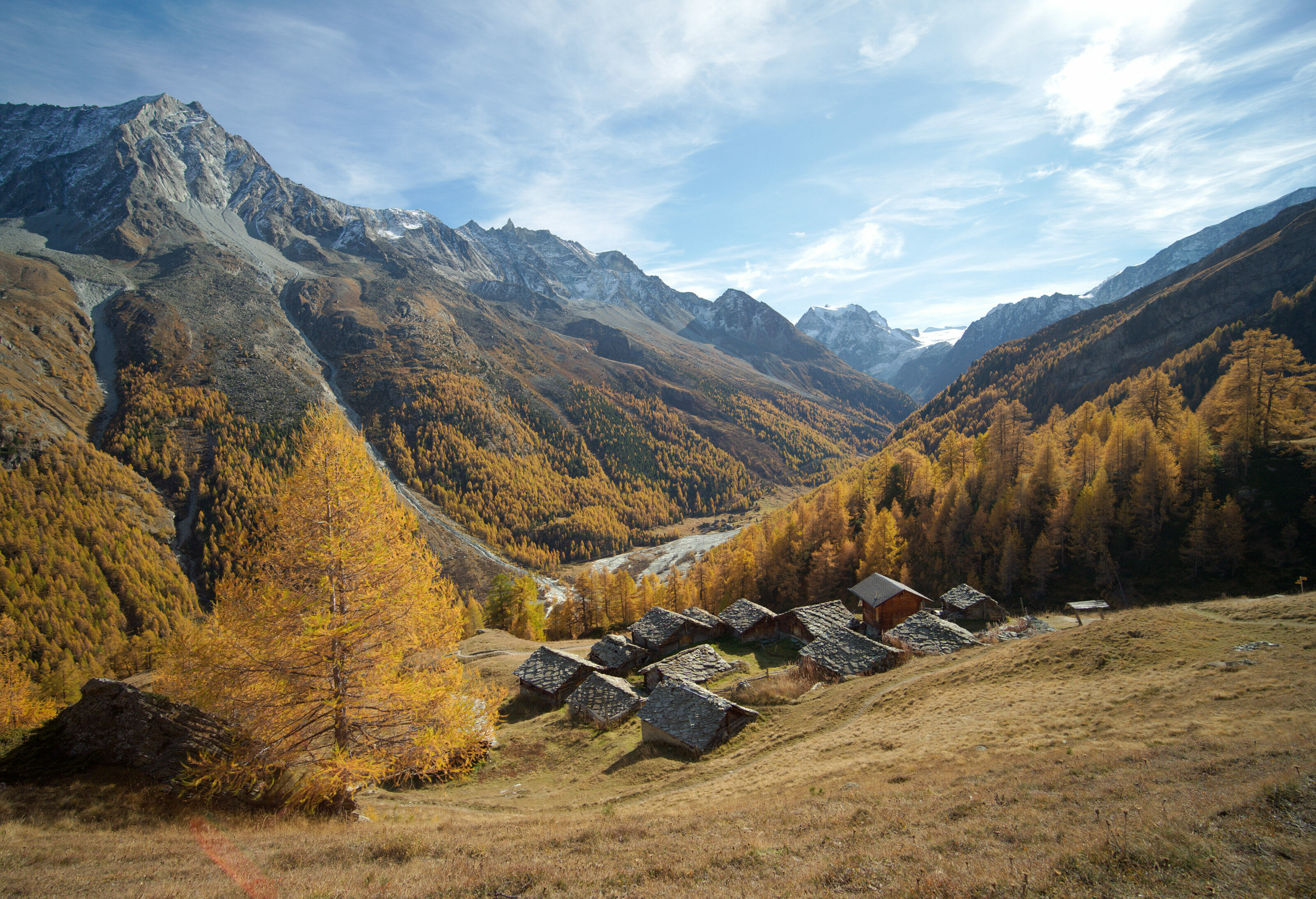
From the mountain pasture the path continues flat along the Bisse de Saxon for 3km. I believe that for me this part of the hike will have been my favorite. (and I don't say that because it's flat, eh!) 😉 The points of view but especially the contrasts between the blue sky and the orange trees was simply incredible… Judge for yourself:
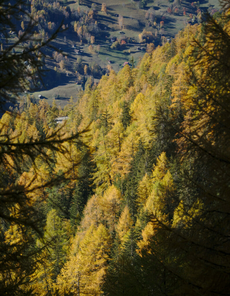
After half an hour we arrive at the first chalets of the Balavaux mountain pasture. From this point, we are almost finished with the "easy part" and we start the serious things: the ascent in the direction of Le Tracouet.
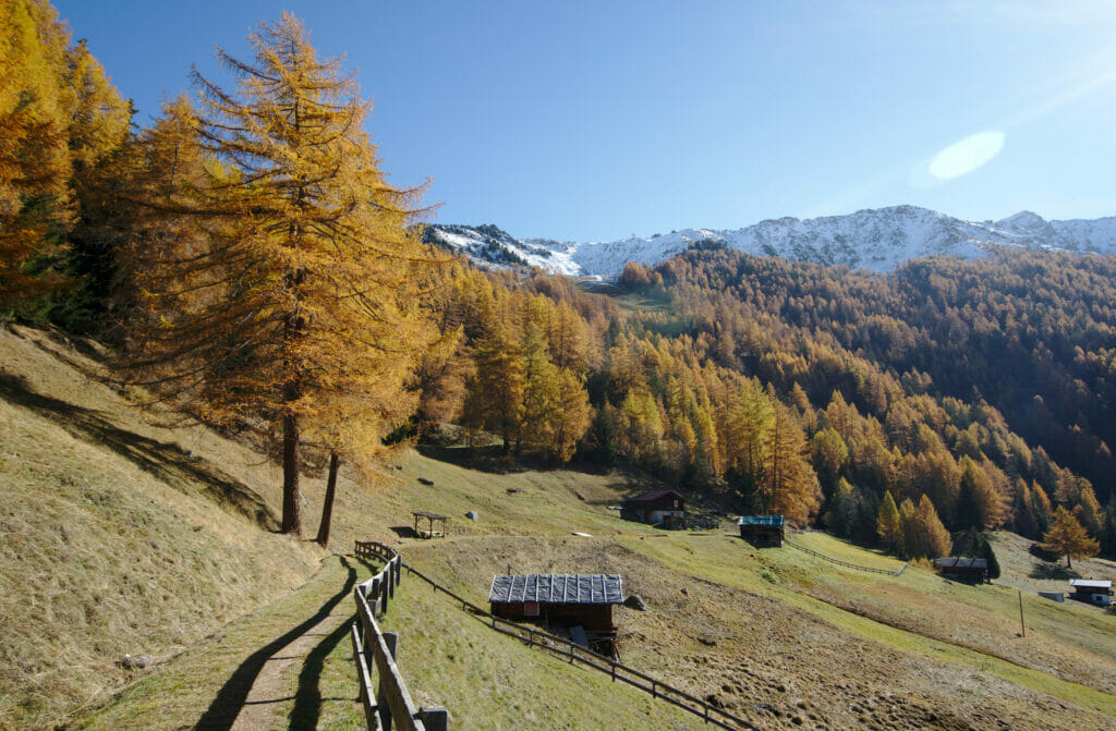
Note: The whole Bisse de Saxon is 32km long (the longest bisse in Valais) and this hike only covers a small part of it (about 6km). We have not yet walked the whole bisse but it is easy to imagine that this hike must be splendid! If you are interested, you will find more information on the bisse du Valais website here.
The larch trees of Balavaux
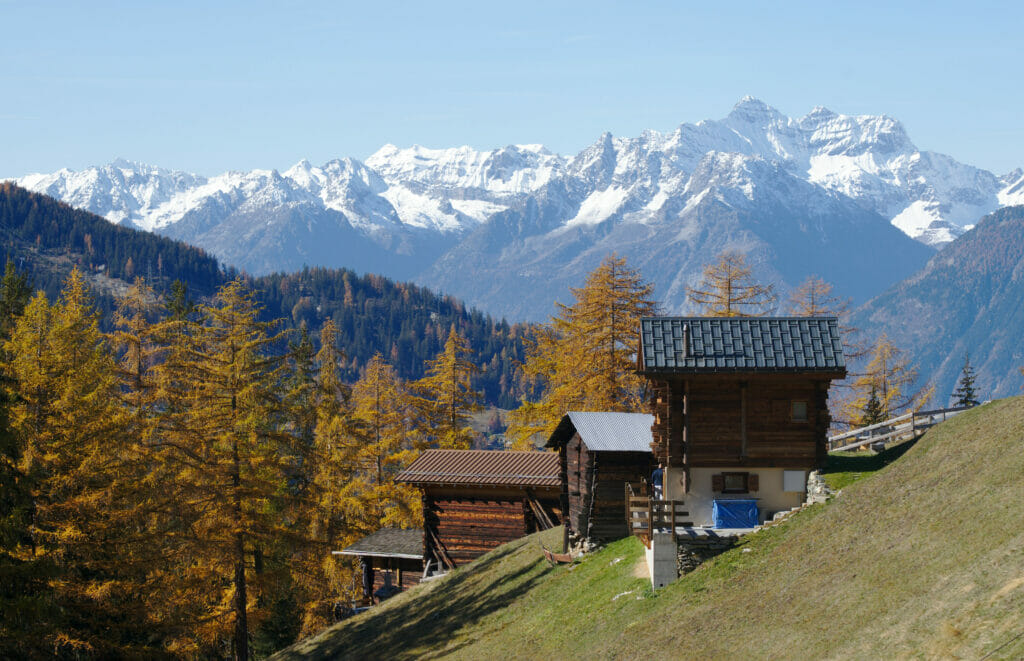
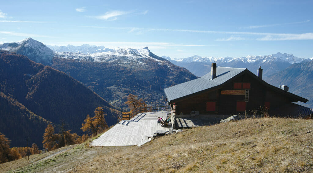
Once we have left the Saxon Bisse, the path begins to climb rather steeply for a hundred meters until we reach a mountain pasture restaurant and its terrace. This place called the Prarion is also known in winter as the crossroads between the Tracouet and the Plan du Fou (a must if you want to go from Nendaz to Verbier on the 4 valleys domain).
But we are not here to talk to you about skiing and besides at the time of our passage the white gold had not yet arrived at this altitude. If we were here it was for another reason: to see the impressive larch trees of Balavaux!
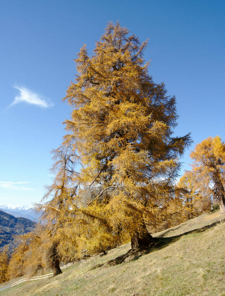
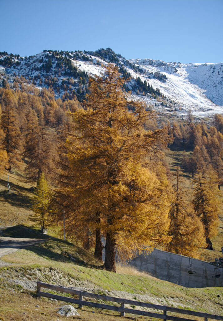
Indeed, it is here, right under the ski lifts, that many hundred-year-old larch trees can be found. Theoretically, larch trees have a "life expectancy" of about 600 years, but at Balavaux there are many that are over that age! The oldest of them is nicknamed the King of Balavaux and is estimated to be between 800 and 1000 years old.
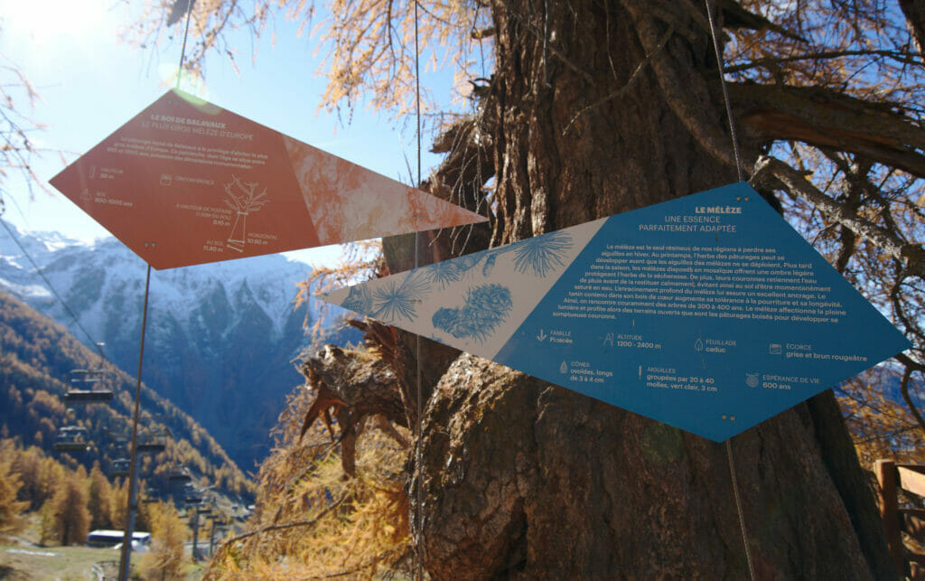
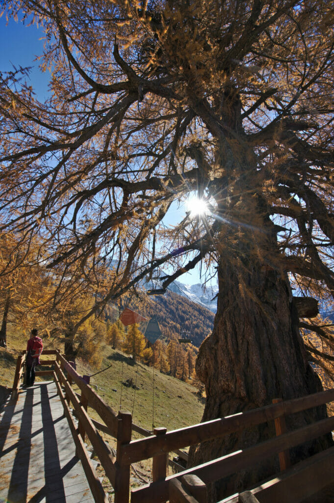
But if it is mostly known for its size! Its trunk has a circumference of more than 10 meters at ground level and its height reaches 30 meters, making it the largest larch in Europe! In short, since 2017 the commune of Isérables has decided to take care of its conservation and they have built a small footbridge allowing visitors to go and see it more closely while ensuring its protection.
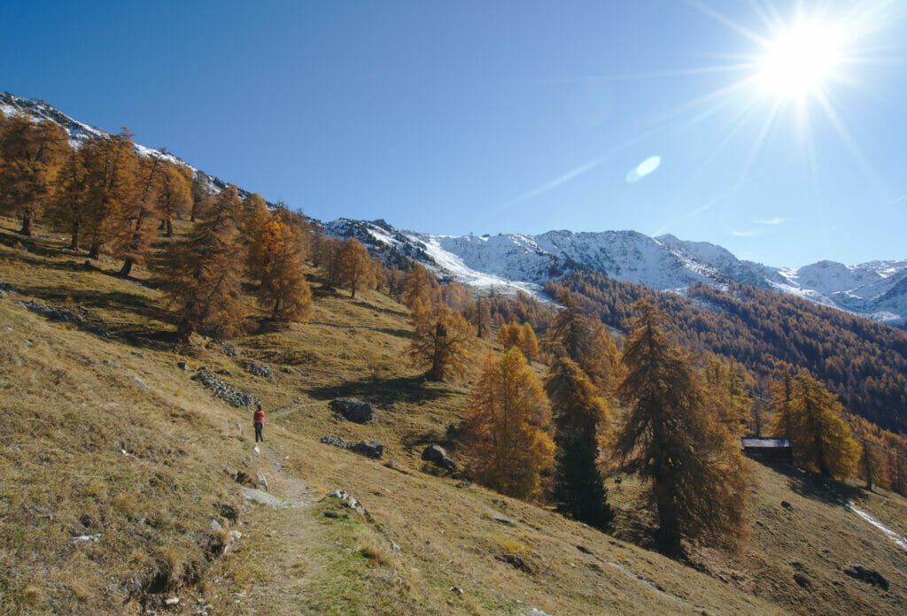
After all, let it be said, the king of Balavaux is by far not the only specimen worthy of the effort in the area! Around him are many larch trees which, without being exactly as big, are just as impressive and you can easily observe them all by following the path that goes up towards the Balavaux mountain pasture and the hut of the same name.
Hiking up to Le Tracouet
When we arrive at the hut of Balavaux we are more or less at the limit of the larches. From this point we have 2 route options:
- Go back down to Pra da Dzeu by the path that leaves on our left.
- Continue uphill in the direction of Tracouet.
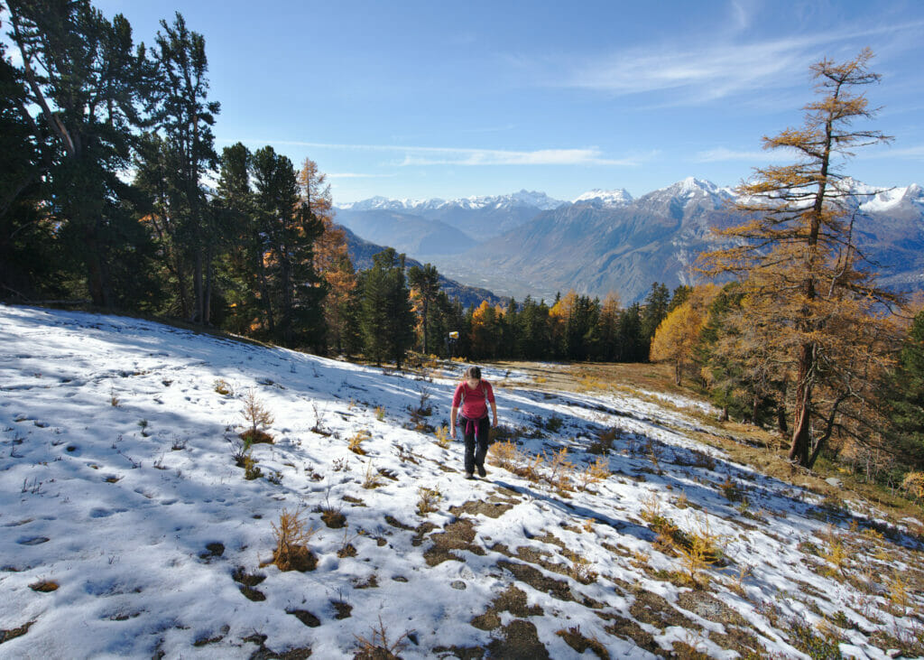
As we still had some time ahead of us and especially because we wanted to see the view from the top we opted for the second option. From the Balavaux hut the marked trail (yellow signs) follows a wide track to the top of the ski lifts but it is also possible to go up more "directly" by taking the ski slope (see on the map below). Of course this option is steeper but it has the advantage of being a lot shorter too ;). #UpToYou
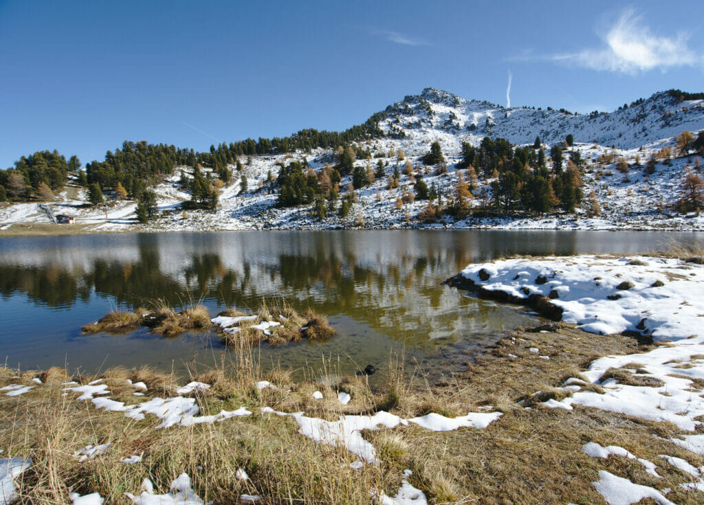
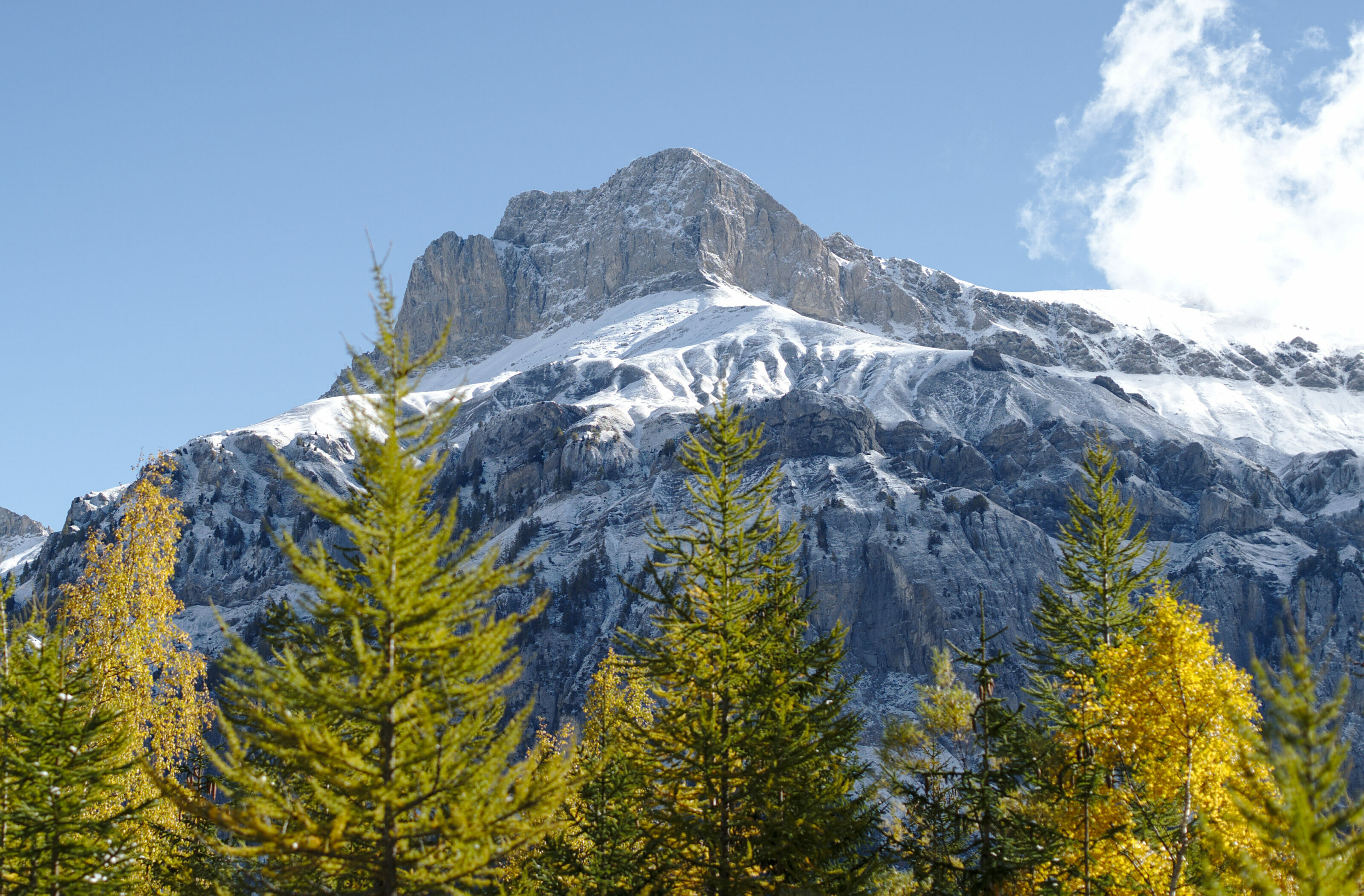
In fact, it is by taking this route that we found ourselves, for the first time of the season, with our feet in the snow. Fortunately, on this slope the sun is quite strong and it was not really a problem to arrive to the black lake with dry feet. In this period the lake was not yet frozen and we could enjoy the beautiful reflections of the Dent de Nendaz (2463m) on the water.
Return to Haute Nendaz along the bisse de Saxon
Arrived at the top of the ski lifts we had seen that there was "a little snow" but how to explain to you that the descent on the less sunny side will have turned out to be a little more acrobatic than expected 😉 We missed the actual path and instead we opted for a little freestyle descent on the ski slope. We were really into the theme, the only detail was that we were wearing small non waterproof sneakers instead of skis. 😉 Fortunately the view on the plain was nice enough to make us forget our wet feet!
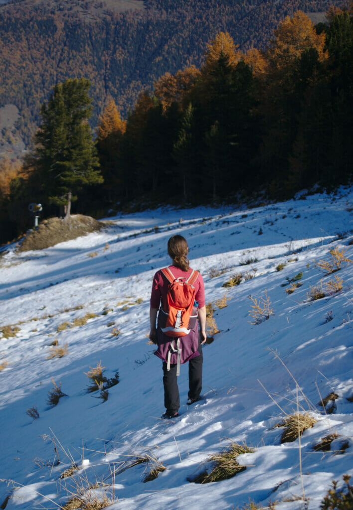
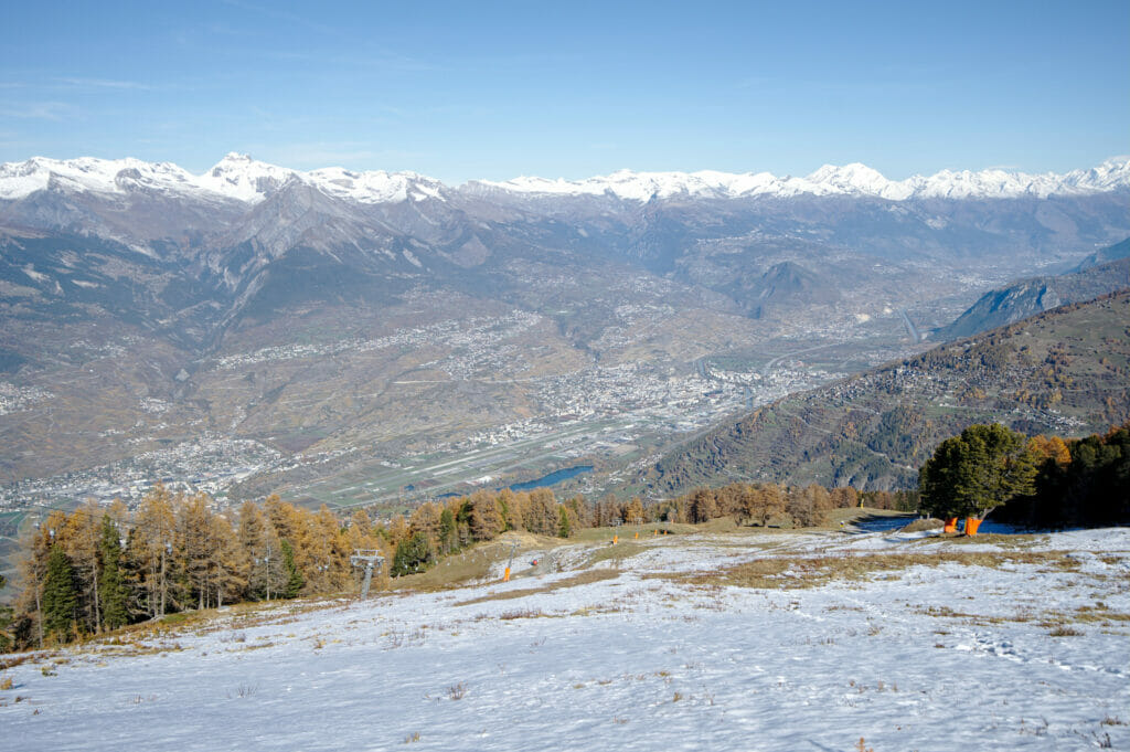
In short, it ended with a few slides (and I concede 2-3 swears on my part) but we easily reached the wide path that goes down towards Haute Nendaz.
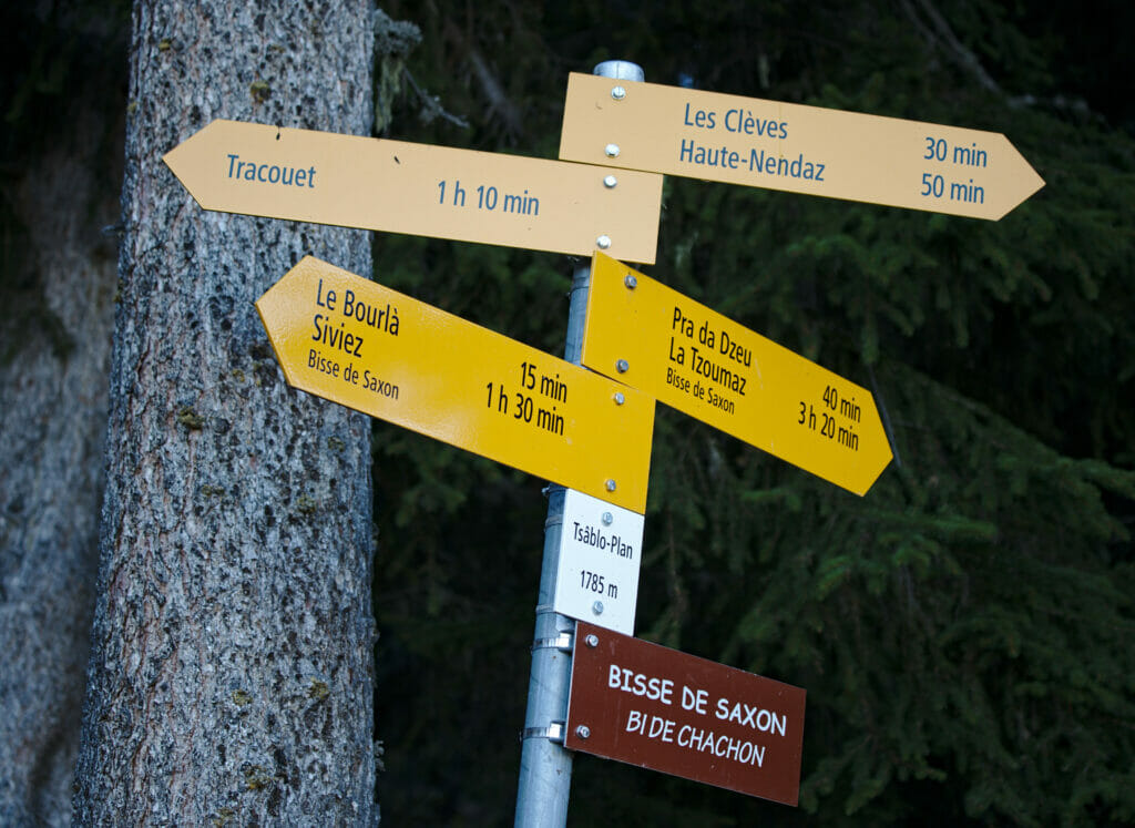
The descent is really easy and does not present any difficulty. The only point to watch out for might be not to miss the crossing with the Saxon Bisse. It's at about kilometer 9 of the walk that you have to turn left; the sign and the path are a bit set back in the trees and it could be quite easy to miss them if you are not careful.
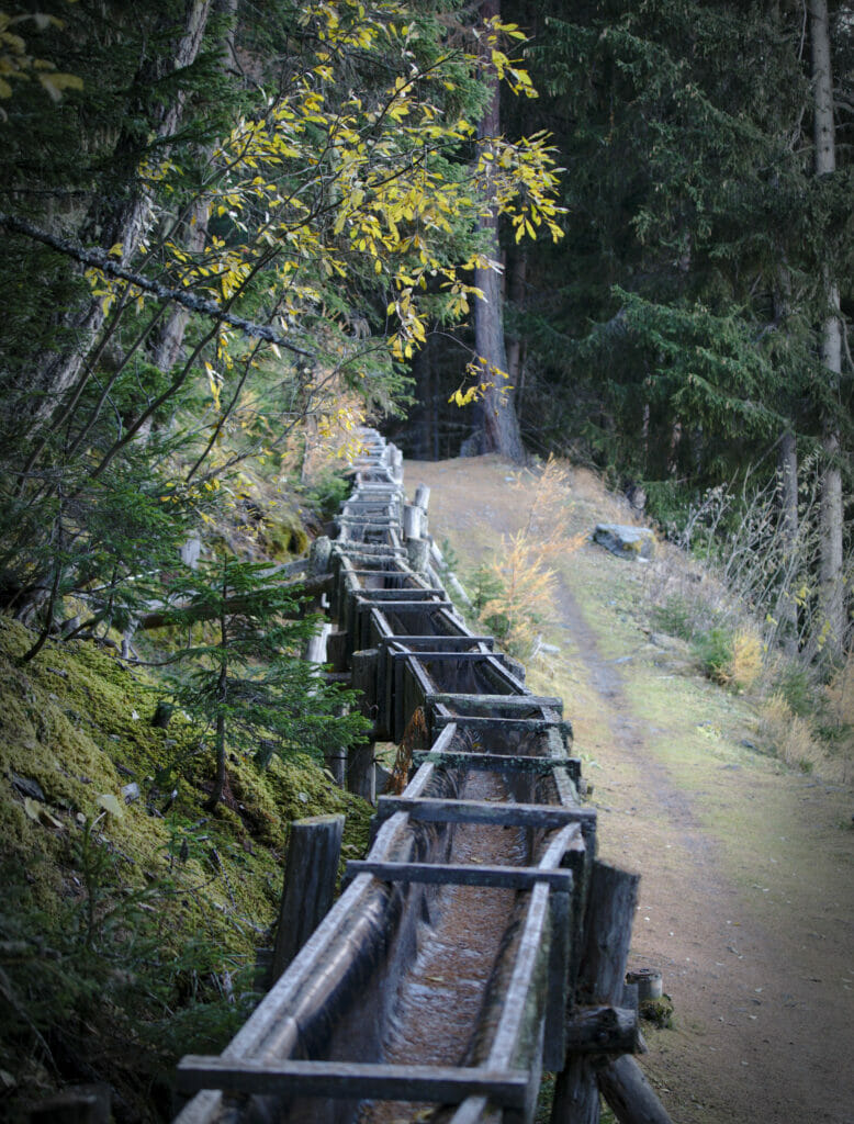
Once back at the edge of the bisse, we are officially done with the elevation changes. The path continues for another 2 good kilometers along the water and the beautiful wooden irrigation canals until we return to the parking lot.
Balavaux - Bisse de Saxon - Tracouet: Map & Infos
Find below all the practical information to prepare your hike.
- Departure and Arrival: Parking close to the Gouille d'Ouché. (GPS coordinate: 46°10'08.0 "N 7°16'21.5 "E)
- Distance: about 12km
- Elevation change: about 700m (+ and -)
- Points of interest: Pra Da Dzeu, Balavaux Larch, View of the Tracouet and the Saxon Bisse.
- Alternative 1: From the Cabane de Balavaux it is possible to go back down towards Pra da Dzeu by another path and thus avoid the last ascent to Le Tracouet (this itinerary can be relevant if there is too much snow at the summit).
- Alternative 2: If you don't want to hike uphill too much or if you come by public transport you can make a variant that will take you up to the Tracouet by cable car and then walk down to Haute Nendaz. More info on Suisse Mobile
Hiking map:
Here, you know everything about this nice walk to discover the larch trees of Balavaux. Of course it is possible to do this hike a good part of the year (May/June to October/November depending on snow conditions). Nevertheless, to see the orange larch trees you will have to aim at the end of October/early November 😉
We wish you a nice week and we hope to see you soon for new articles about our trips in Switzerland!
Pin it


Join the discussion