If you follow us, you'll know that we now live in the little village of Les Haudères, at the heart of Val d'Hérens… a village that lies not only at the foot of the majestic Dent-Blanche (4357m), but also on numerous hiking trails such as the Val d'Hérens circle hike, the walker's Haute Route (between Chamonix and Zermatt), the Alpine passes trail and the Matterhorn tour!
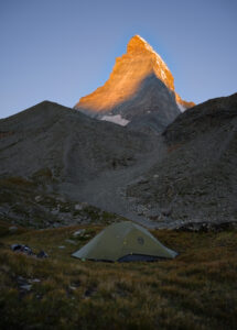
Who knows why, Fabienne and I had never been to the Zermatt region to check out the Matterhorn (maybe we'd already seen too many photos of it). As Swiss hikers, we felt it was time to fill this gap! And if you look on a map, you'll see that the Matterhorn is very close to where we live (about 20 km as the crow flies)…
So why not hike there from home?
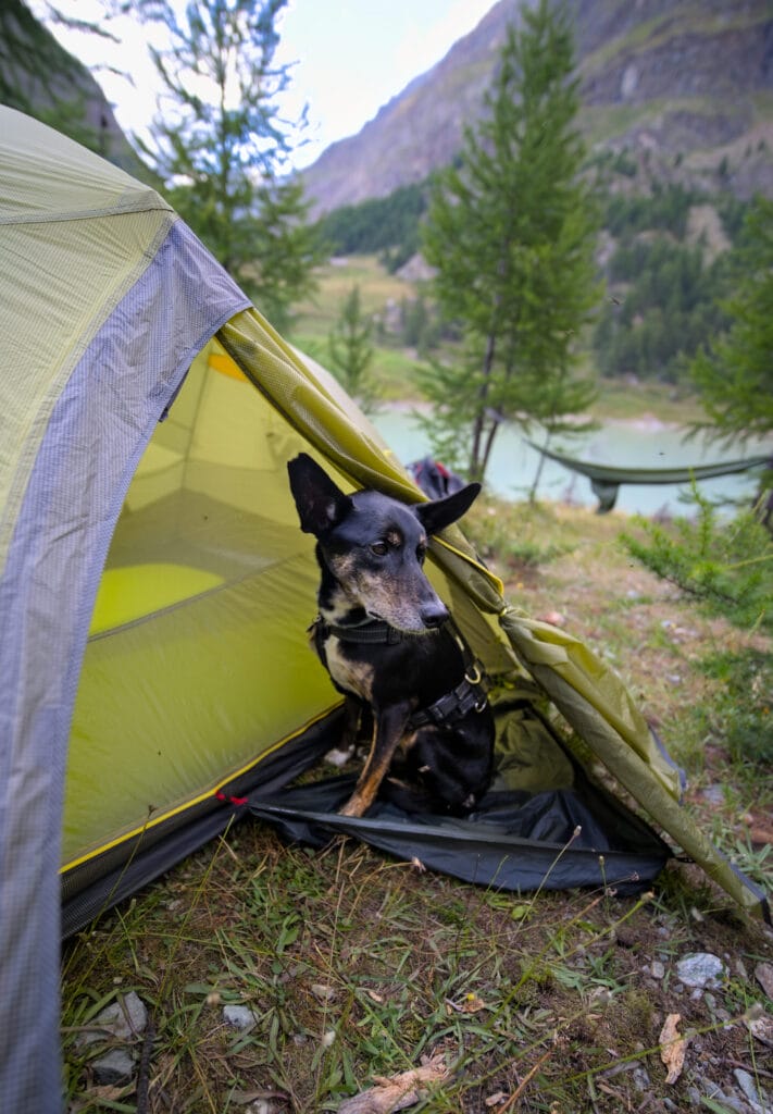
We also wanted to go on this kind of hike with our dog Winchy while he is still in good shape, to enjoy the adventure with him. It's also what led us to bring all our bivouac gear, as most huts and accommodations don't accept dogs ( which is fine, as we love to camp).
Anyway… that's how we decided to embark on the most alpine part of the Matterhorn trek, between the little village of Arolla at the bottom of Val d'Hérens and the bigger resort of Zermatt. And since we honestly had a tough time finding detailed information on this section of the tour, we thought we'd put together a super-detailed guide for you! This way you'll know what you're getting into 😉
- The Matterhorn tour in numbers (+ map / GPX)
- Our 4-day trekking itinerary from Arolla to Zermatt
- Arolla - Prarayer via the Collon pass (crossing the high Arolla glacier)
- Prarayer - Cervinia through the Valcornera pass (or Valcornière - Valcournera)
- Cervinia - Theodul pass and glacier
- Hiking down to Furi and the 5 lakes trail
- What we'll remember from our Matterhorn tour
The Matterhorn tour in numbers (+ map / GPX)
The official trek around the Matterhorn begins in the village of Randa and ends in Zermatt. Here are some statistics:
- over 140 kms of hiking (depending on the route)
- 10,000m ascent and descent
- 6 different valleys (4 in Switzerland and 2 in Italy)
- 2 glacier crossings (the high Arolla glacier and the Théodule glacier)
- highest point: 3300m (Théodule pass)
- difficulty: T4 on the CAS scale
- between 7 and 9 hiking days
Here's what it looks like on a map:
Our 4-day trekking itinerary from Arolla to Zermatt
With our coliving project, it was difficult for us to leave for more than 4-5 days at a time this summer (summer 2024). And as we were already fairly familiar with part of the route from the Zermatt valley to the Val d'Hérens (we'd already done a 3-day hike between the Zermatt and the Tourtemagne valley, the Barrhorn, and we'd also been to Zinal), we decided to tackle the more alpine stages of this Matterhorn trekking, between Arolla and Zermatt via the Italian side.
It's important to note that the 2 stages between Arolla and Prarayer via the Collon pass and then the Valcornera pass are not easy (rated T4 on the CAS grading scale). We're clearly on high-mountain trails, and you can feel it!
Before crossing the Collon pass, for example, you have to cross the high Arolla glacier… Even if the glacier is fairly flat with few cracks, it's still a glacier crossing. In my case, I had already scouted out the stage beforehand to make sure I didn't take Fabienne into areas that were too difficult. This also helped me to judge that we didn't really need to take ropes and harnesses with us… even the small pair of crampons we had brought with us, we didn't use.
The Valcornera pass is also quite exposed and we found it more difficult than the Collon pass. It's well equipped, but you need to be confident on your feet and not too prone to vertigo. With the dog, certain passages were also a little tricky (I had to carry him several times over a few meters when there were steps).
You also need to have enough stamina, as these stages are between 15-20 kms long, with over 1300m of ascent +- and involve quite difficult terrain (lots of scree).
You'll find full details and photos of the stages below. We'll let you judge the difficulty for yourself.
So, once we'd crossed the Théodule pass, we made a few variations to make the most of the Matterhorn (we did the Matterhorn glacier trail and the 5 lakes hike) instead of taking the most direct route down to Zermatt. Here's a detailed map of our route:
In numbers, our route from Arolla to Zermatt looks like this:
- a distance of over 65 kms
- approx. 4500m d+ and 5000 d-
- 2 glacier crossings
- 3 nights in the tent and one night in Cervinia
- 1 gondola lift taken to save a bit of elevation in Cervinia
Well, I think we've given you enough statistics and it's time to get down to business 🙂
Arolla - Prarayer via the Collon pass (crossing the high Arolla glacier)
As I'd already scouted this stage beforehand and knew it was a long one, we left the coliving early (6:30) to start hiking at 7am sharp in Arolla. We were joined by our friends Lucie and Louis, who were keen to discover the high Arolla glacier and the Collon pass. So it's in excellent company that we begin our adventure towards Zermatt.
The first 2 km on a track are perfect as a warm-up until we reach the bottom of the valley. We're no longer used to carrying big rucksacks with all our bivouac gear (it's been almost 2 years since we last set off on this kind of adventure) and it's good to get off to a gentle start.
But not for much longer… due to the severe bad weather / floodings of June 2024, which caused enormous damage in the valley, we had to take an alternative route as a bridge was missing on the normal path (I've indicated the normal path on the map… as the path should be re-established by next season). So we start our ascent to the Arolla glacier in the rocks… rocks that won't be leaving us for the rest of the day lol. But we can't complain, as the view of Mont Collon and the lower Arolla glacier is already superb.
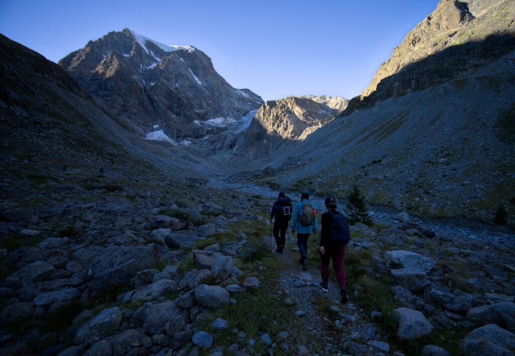
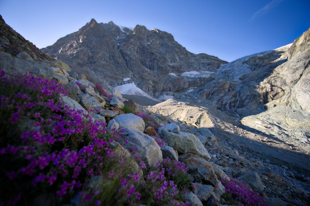
We then reach a small plateau with picnic tables, overlooked by a Virgin Mary, offering a splendid vista of the entire Arolla valley. We keep going up until we reach an intersection with a path that goes up to the left towards Plan Bertol (and Bertol hut) and to the right towards the high Arolla glacier. We pass a first small section with ladders ( but without much difficulty) even if I have to help Winchy a little to get through.
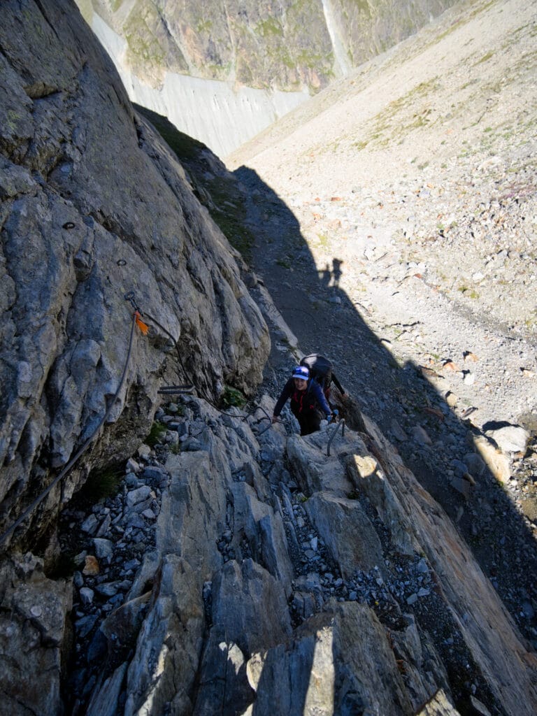
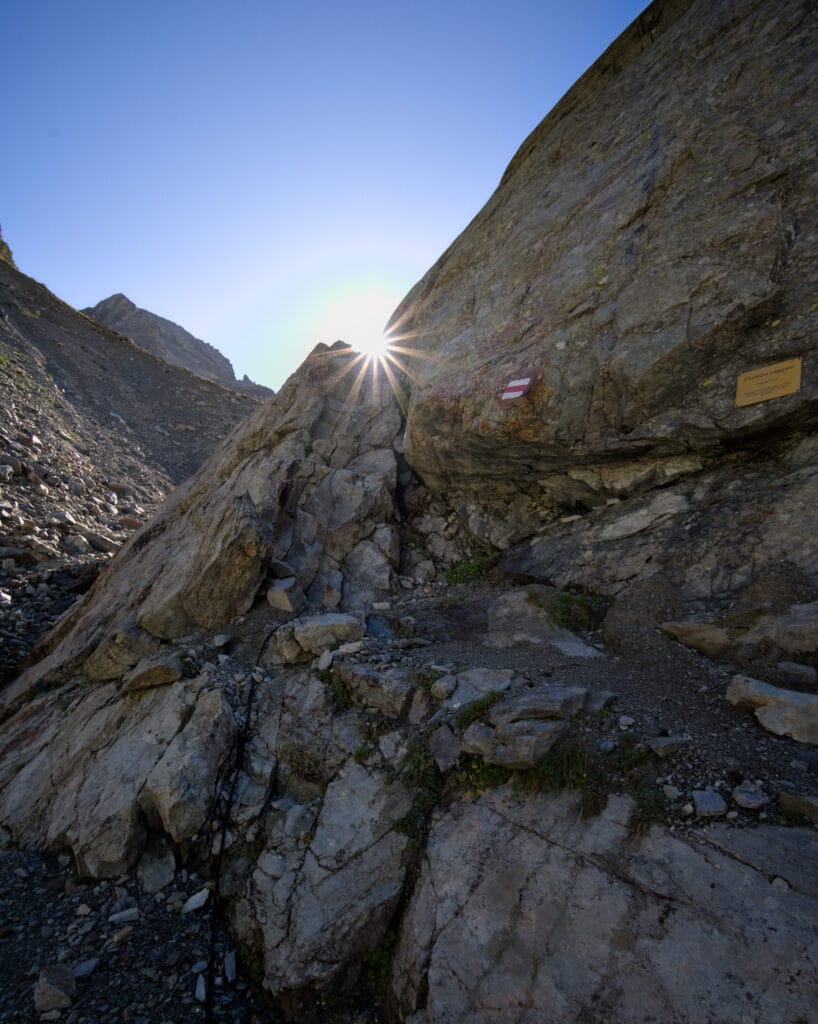
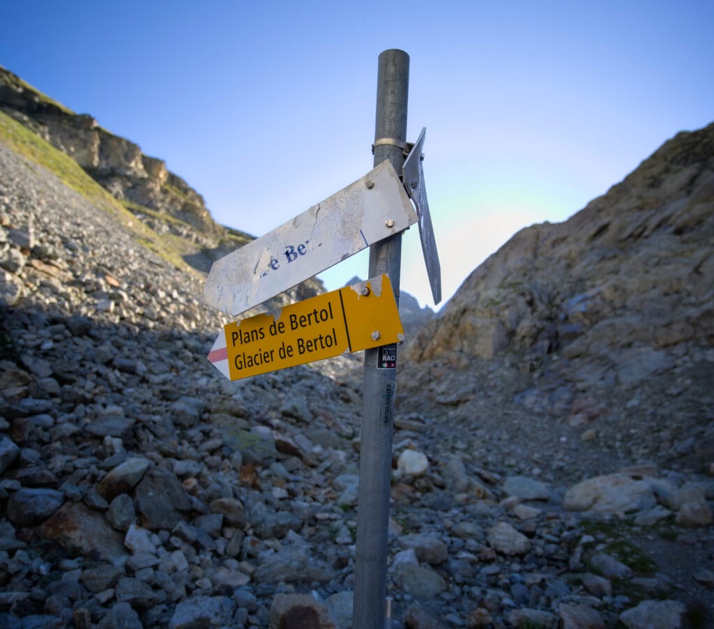
Above this passage, the view opens up completely over the valley that leads to the foot of the glacier. We also enjoy a little break in the climb, although after a short descent, the path gradually disappears, with just a few cairns to guide us. Well… there's not much room for doubt as we can already see the bottom of the glacier we have to cross.
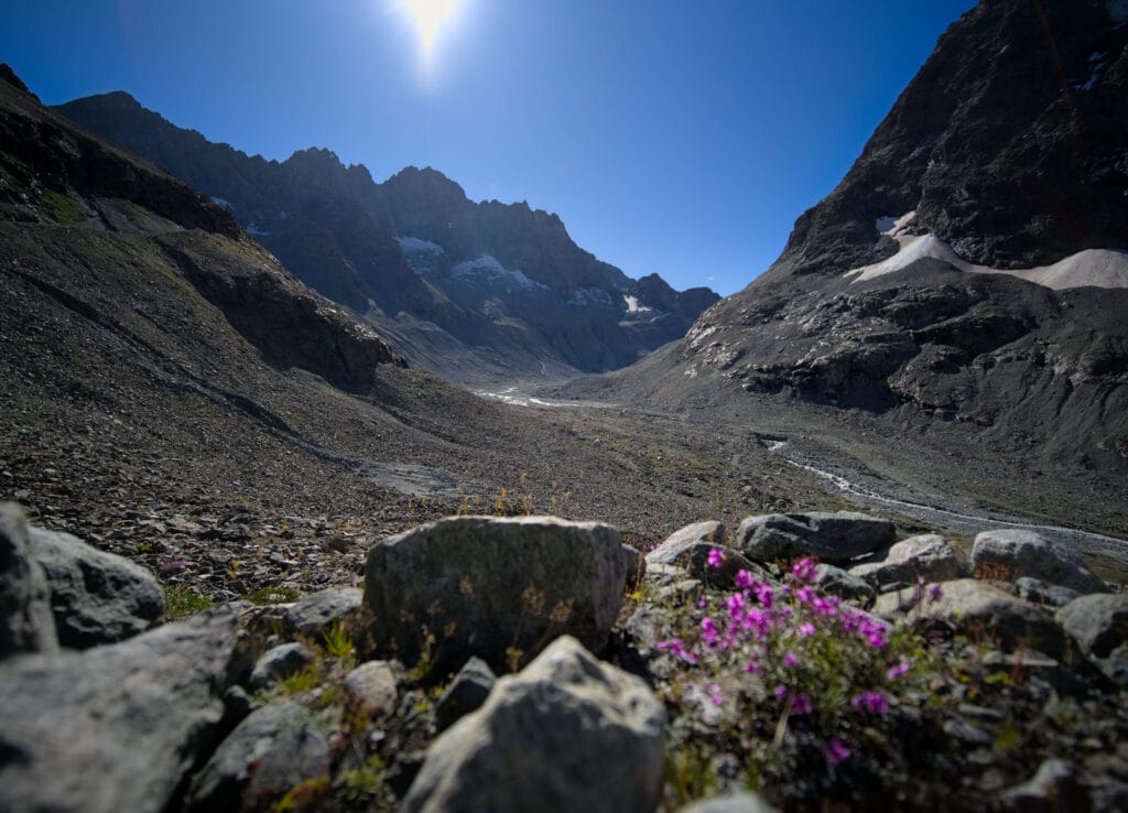
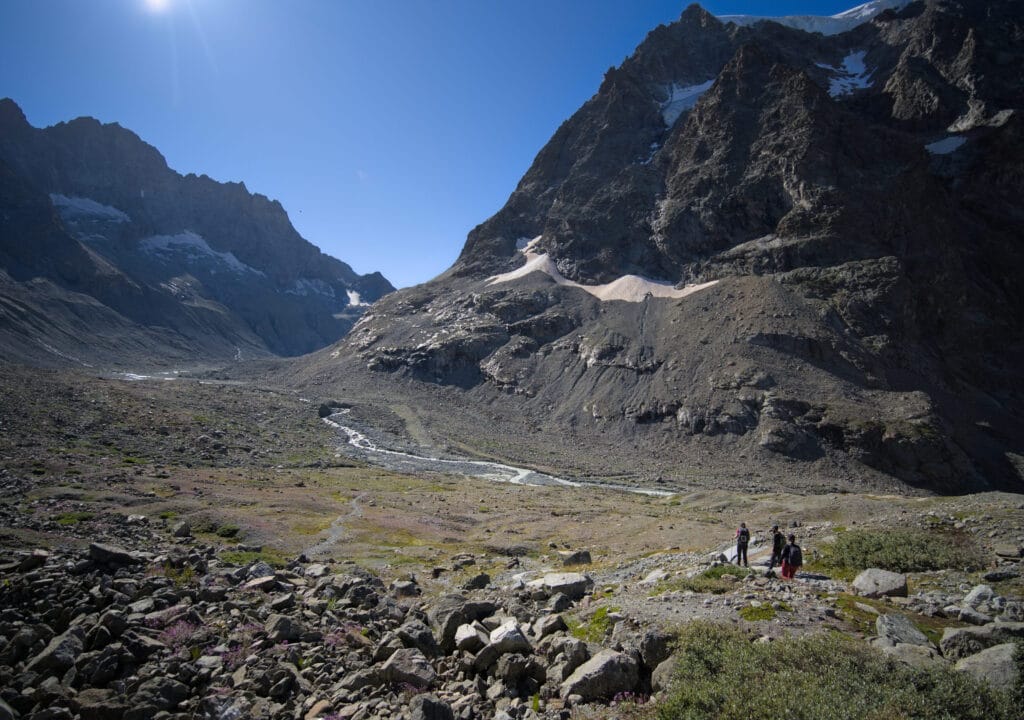
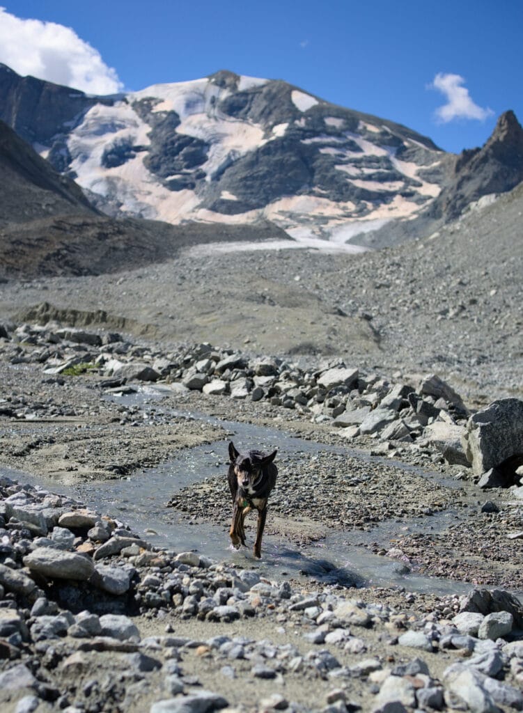
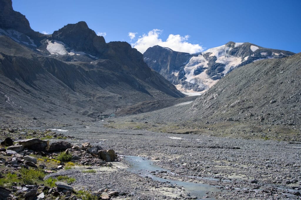
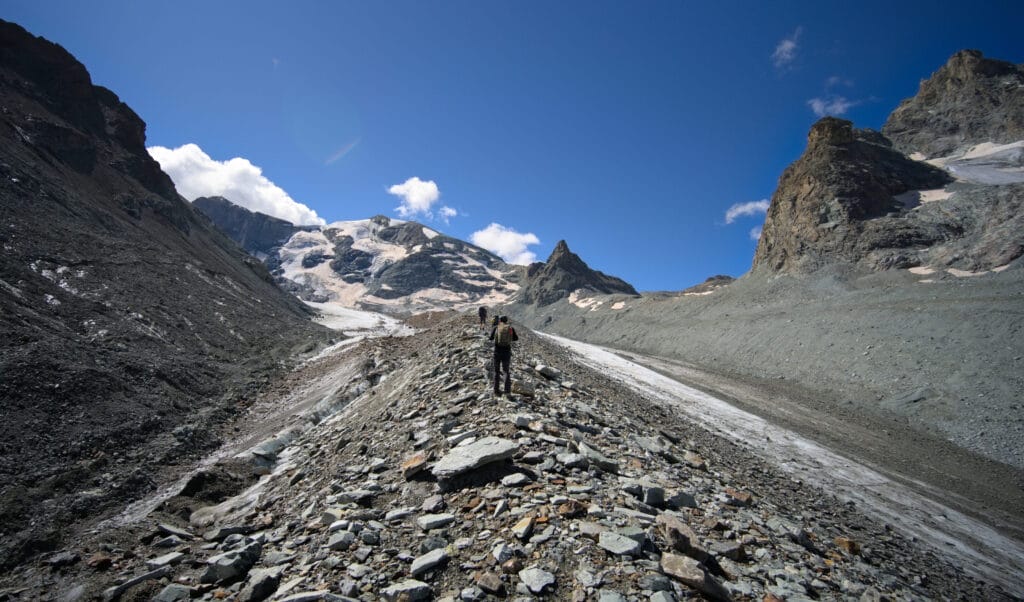
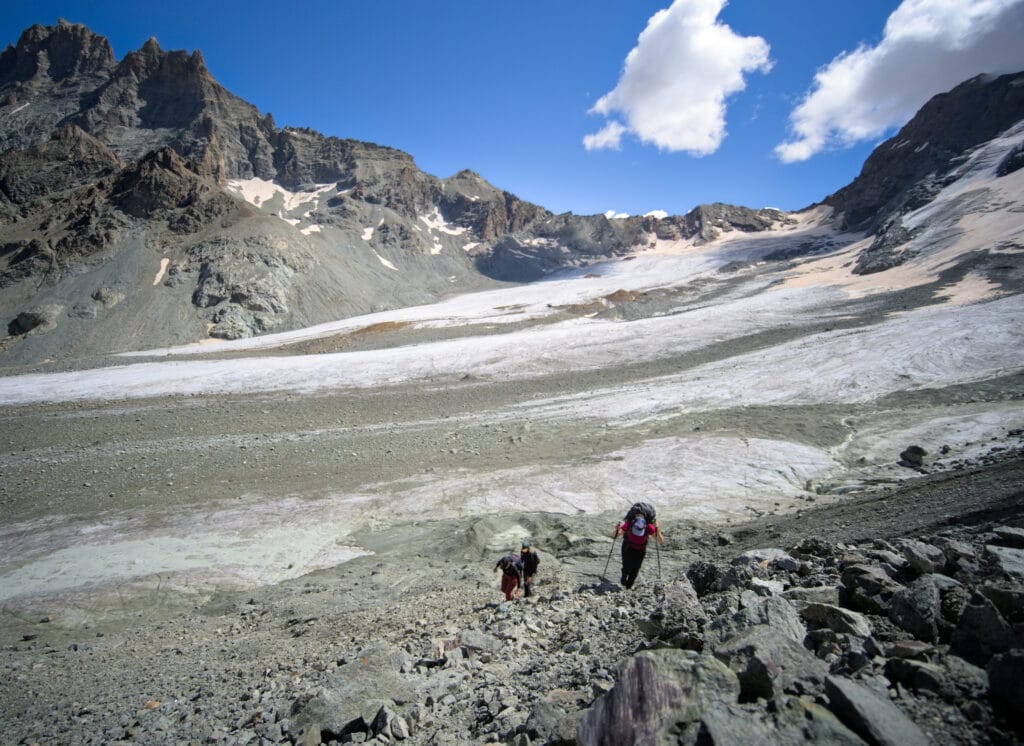
We climb up the left bank of the torrent until we reach the foot of the glacier… During my recon, I climbed a little too far to the left, whereas it's easier to climb directly onto the glacier's central moraine (see photo below… although conditions can change from year to year).
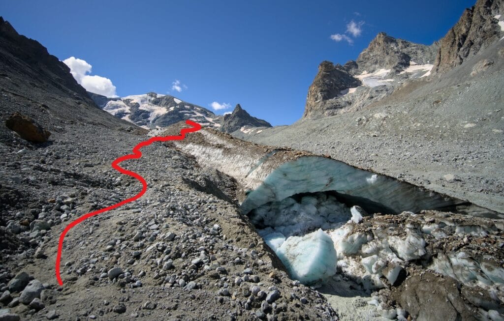
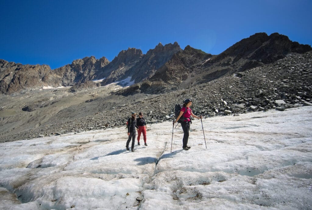
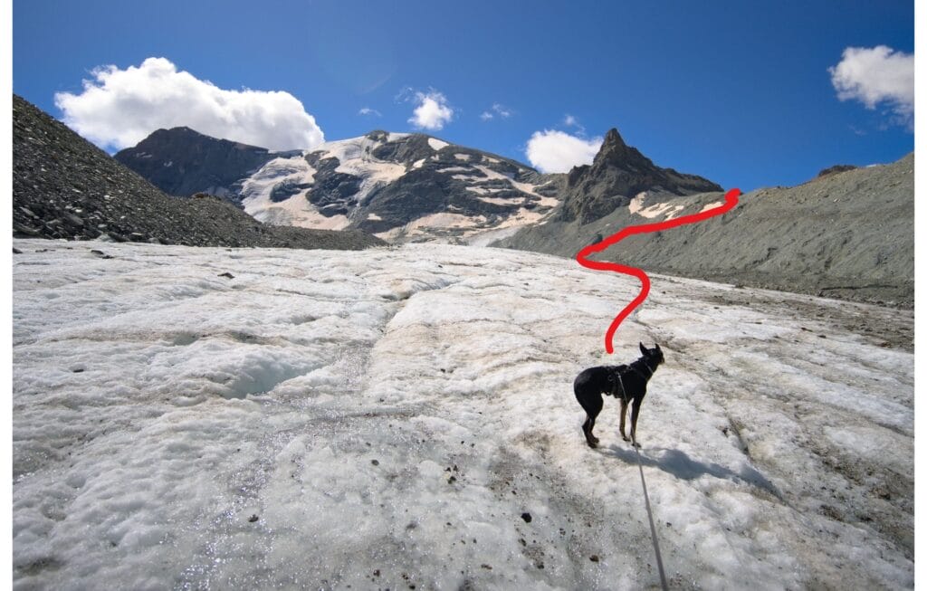
Then we moved up the glacier, staying on this moraine, to reach a flatter part a little higher up. At this spot, I had met an Italian guide during my recon, who had shown me the best place (according to him) to hike up to Col Collon. He suggested crossing the glacier on its flatter side, then going quite far to the right before climbing the moraine.
So that's what I recommend you do. We crossed the glacier on its flatter side and then followed it along the right-hand side for quite some distance before heading up the moraine (tracks were clearly visible). We did see a signpost a little earlier on the right side of the moraine, but we preferred to continue further and follow the advice of the Italian guide.
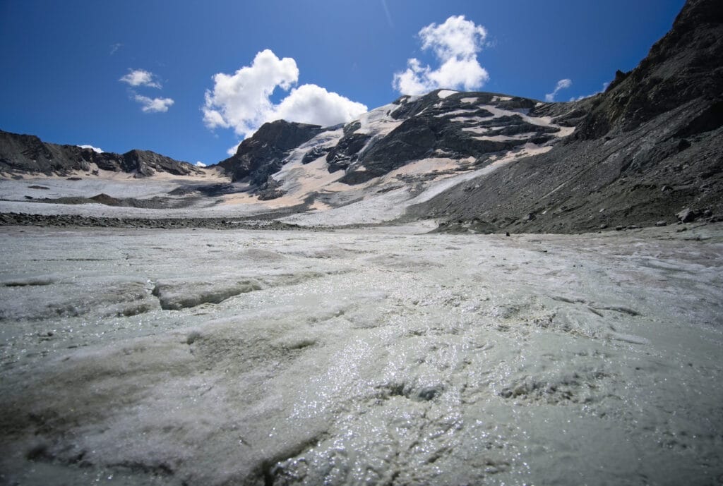
Here are a few photos to give you an idea, with a small red track on one of them. But all in all, it wasn't too difficult as the glacier is not very crevassed and is almost flat.
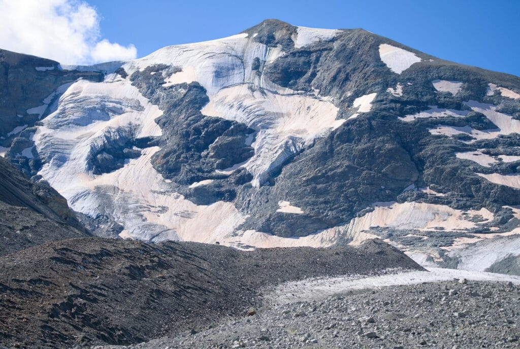
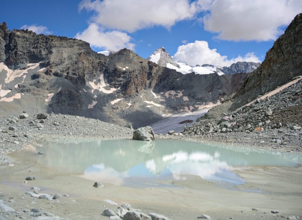
It's a steep climb as we exit the glacier, but there's only 200m of elevation gain ahead. We pass 2 pretty water pools, with the Dent d'Hérens just around the corner. Ahead we see the impressive Oren glacier (which we have to cross on a short section) and the Col de l'Evêque… the Col Collon is just on our left. We're almost there!
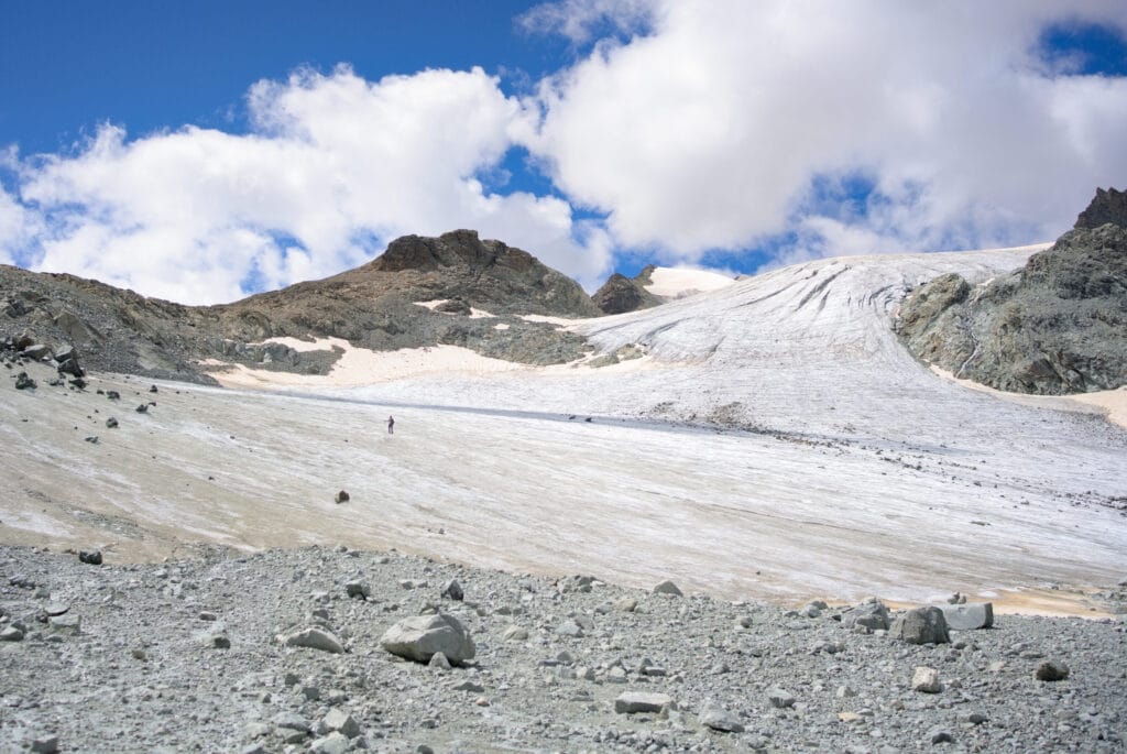
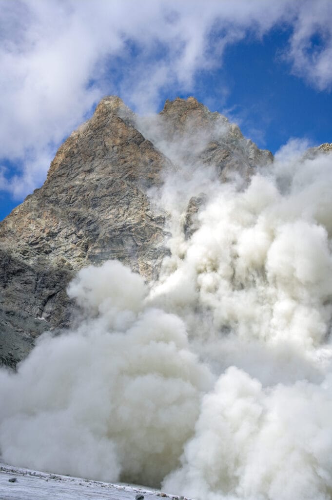
Speaking of the glacier, we were just crossing the small ice tongue prior to Col Collon when we heard a loud bang! On our right, a few hundred metres away, a whole section of the south-east face of L'Evêque collapses before our very eyes. At this point, Winchy is untied and runs off to the Col Collon… By reflex, even though we're at a reasonable distance, we also walk quickly towards the pass because a large cloud of dust is heading our way. Truly impressive!
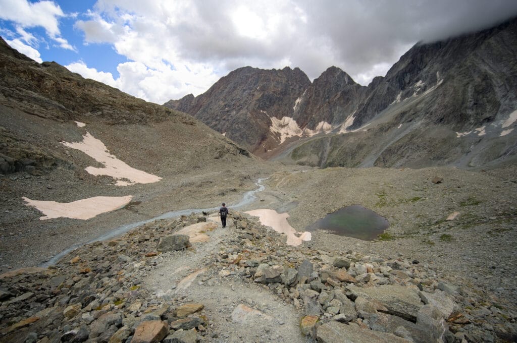
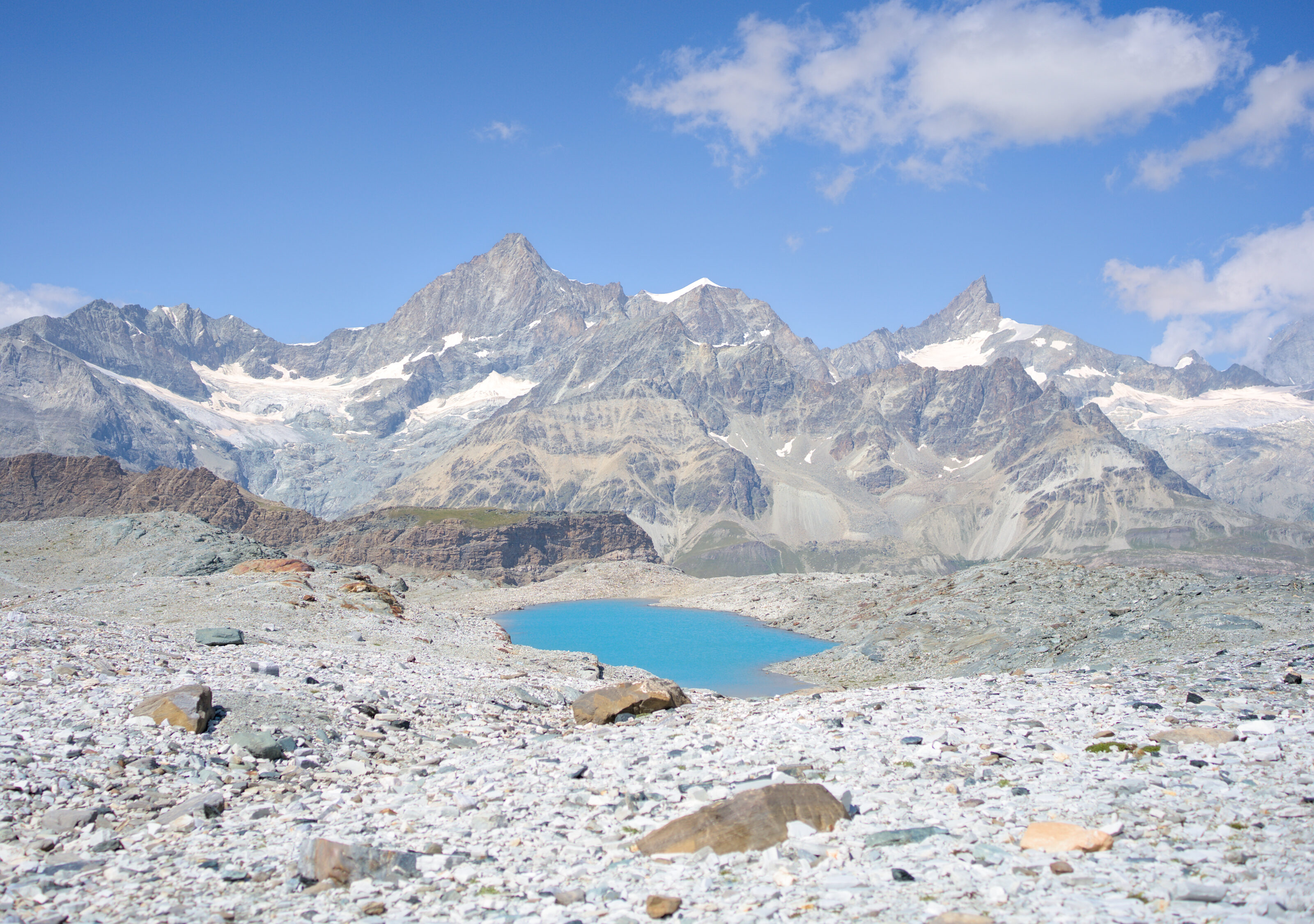
After this brief scare, we find Winchy terrorized next to the Col Collon cross (3074m). From here we have a magnificent view of a turquoise-blue lake in its mineral setting! It's really stunning, and we make the most of it with a well-deserved picnic break!
I think that from Arolla with our big backpacks… it took us a good 6 hours to get to the pass.
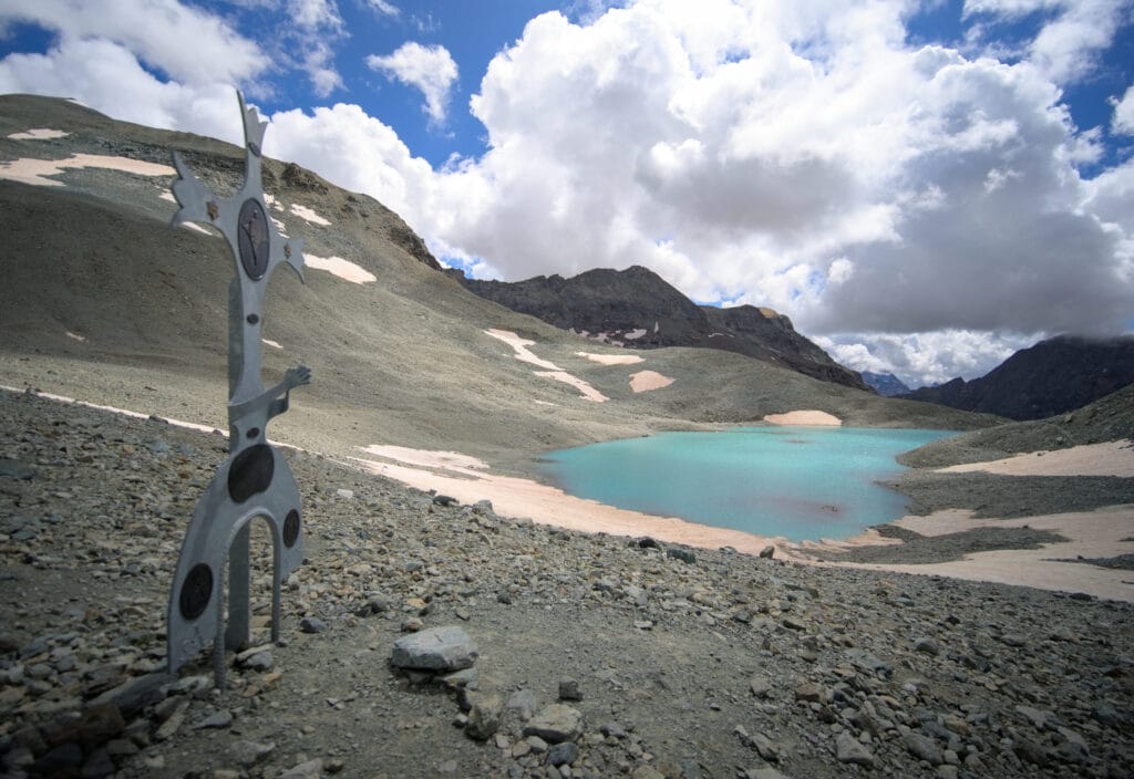
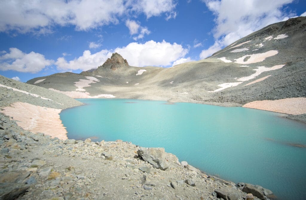
From here we're officially in Italy and we start the long descent towards Prarayer. To be honest, we found the trail to be well marked and easier on the Italian side. Of course, it's still rocky, but you don't have to navigate from cairn to cairn like on the other side.
We pass beneath the Nacamuli hut. The alpine scenery is splendid and this is truly one of the most beautiful days of hiking we've done so far in our life. We pass a steeper section (easy to see on the map), but it's very well equipped and doesn't present any problems.
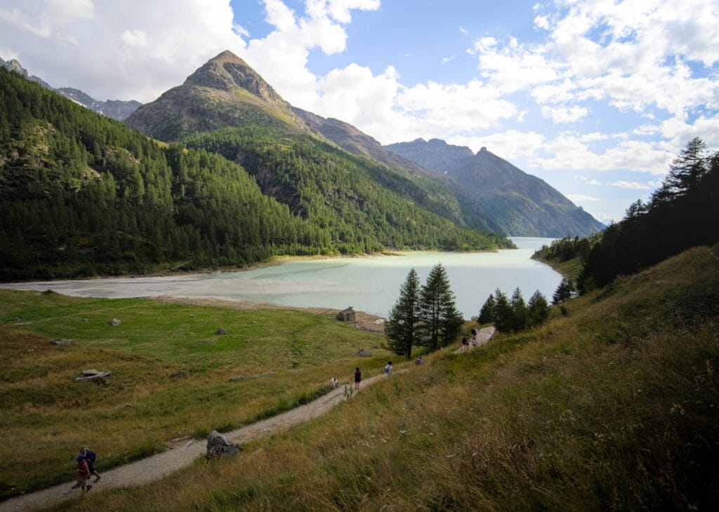
We continue down the valley beside the river. We're getting a bit tired, but we know the next day's stage will be long, and we're really hoping to get to the lake Place-moulin in Prarayer.
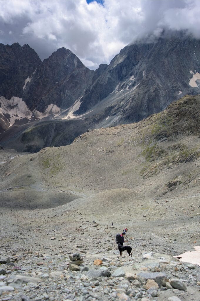
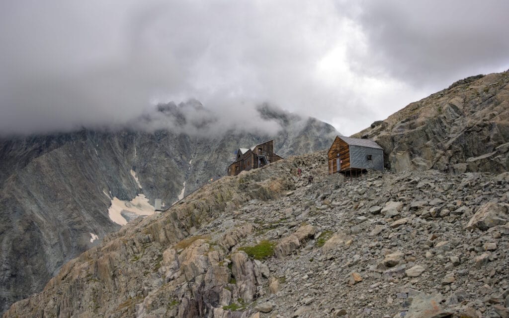
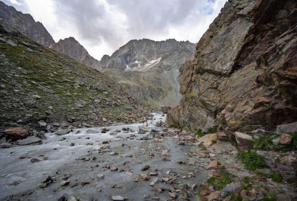
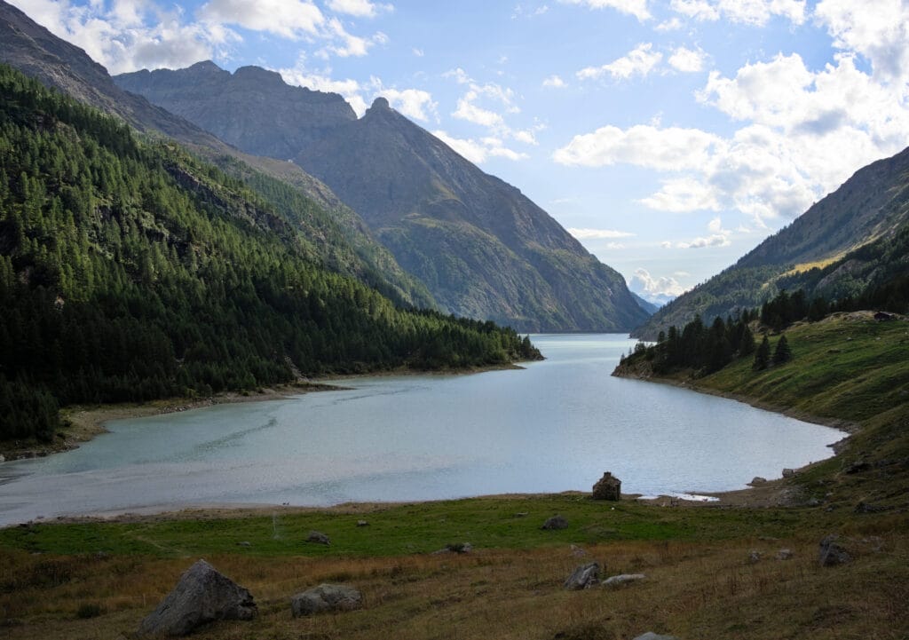
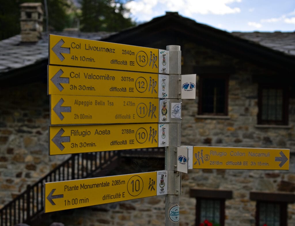
After 2-3 hours of descent, we finally reach the lakeside. We pass behind the Prarayer refuge, where a sign indicates a 3h30 hike to the top of Valcornière pass (hmmmm… 😉 ).
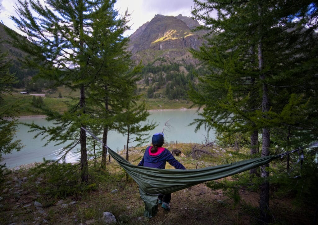
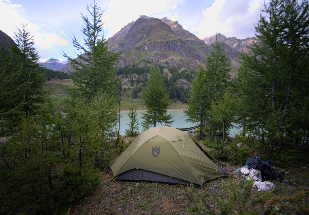
We finally look for a quiet spot to bivouac on the other side. We find a nice spot among the trees and set up camp for the night. We take the opportunity to test for the 1st time our new Nemo dagger osmo 3p tent (a light, self-supporting tent) and an ingenious little piece of bivvy gear (which acts as tarp + hammock + rain cape for just 500gr) called Trailhopper.
We'll tell you more about it in separate articles, but we were really happy to have a hammock to chill out in after a long day's walking 😉 (if you're interested in this clever new French product, you'll get 17% off with the code NOVOMONDE).
And if you want more infos about the gear we take in our backpacks on multi day hikes, check out this detailed post.
- Distance: 18,7 kms
- Elevation: about 1200m+-
- Difficulty: T4 on the alpine club switzerland hiking scale (so quite hard)
- Duration: between 9-11h with breaks (it also depends if you have heavy backpacks like we did 😉 )
Prarayer - Cervinia through the Valcornera pass (or Valcornière - Valcournera)
Despite hearing cowbells just before we went to bed (so we got up to protect the area around the tent from any approaching cows), we had a pretty good night's sleep… even if we still have some sore muscles from the previous day.
At 8 a.m. we packed up, had breakfast and drank our instant cappuccino… so we're ready to tackle the Valcornera pass (or Valcornière in French) which scared Fabienne a bit according to what we'd read online.
No warm-up this morning, and we start off right away with a 200m d+ climb into the Valcornière valley, where the slope becomes gentler. Behind us we have a beautiful view of the descent we made the day before, and of the Dent d'Hérens to our left.
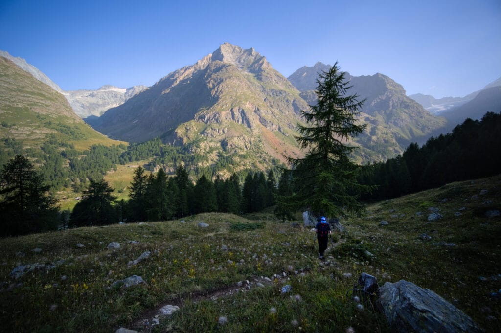
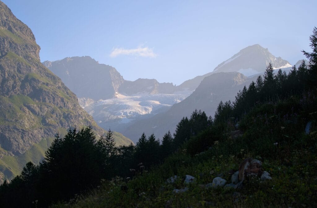
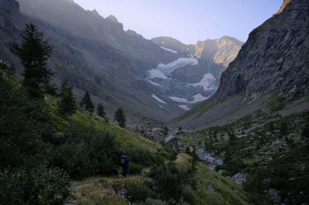
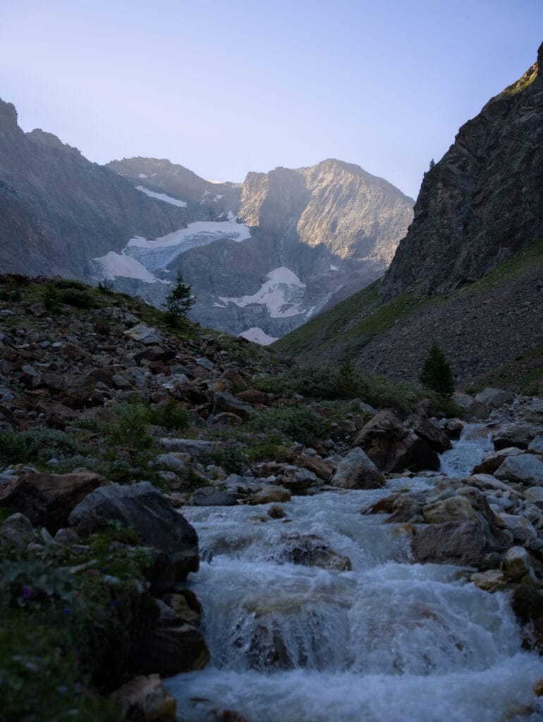
Once at the bottom of the valley, the path forks to the left, and that's when things get serious! From the looks of it, it's hard to imagine that there's actually a path up here, as there are several rocky bars that seem difficult to cross lol.
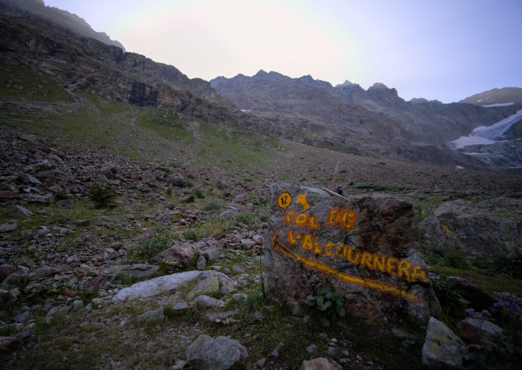
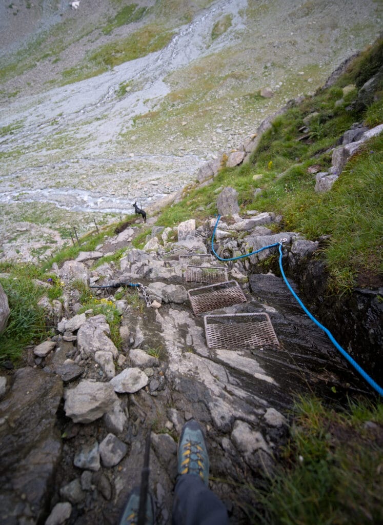
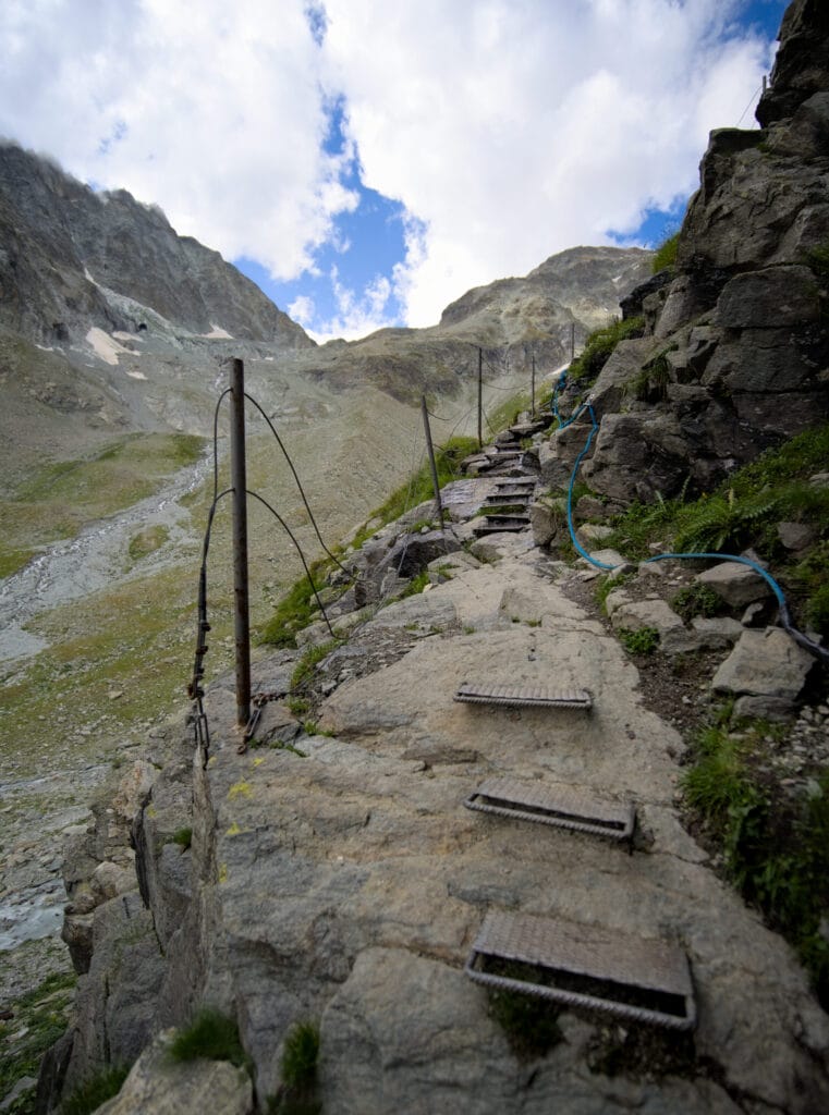
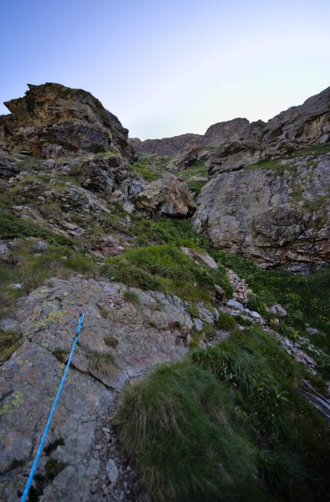
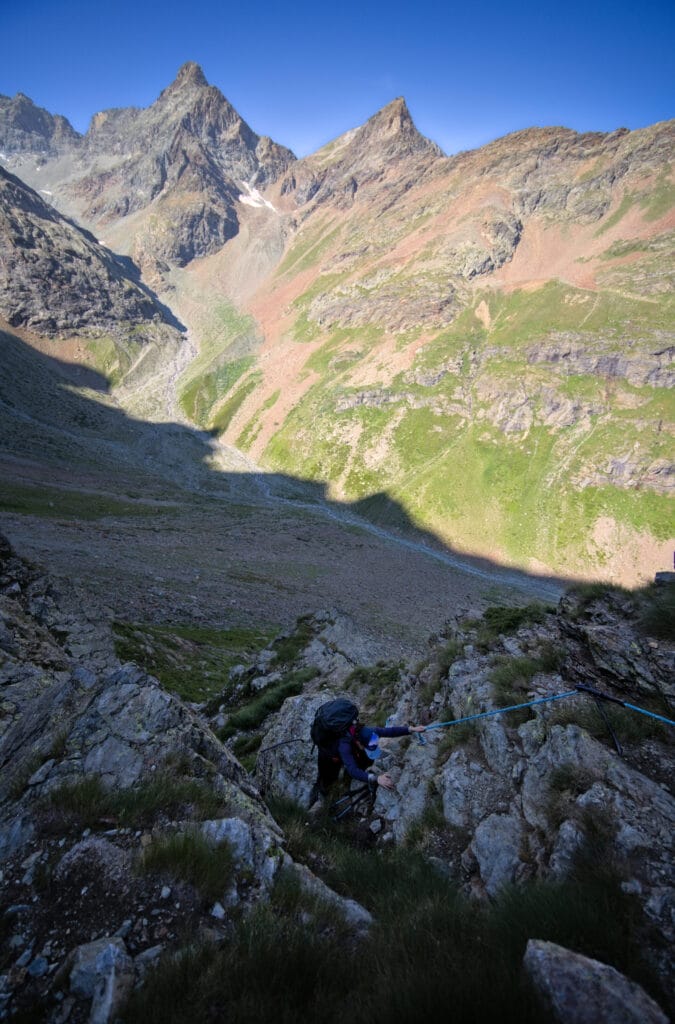
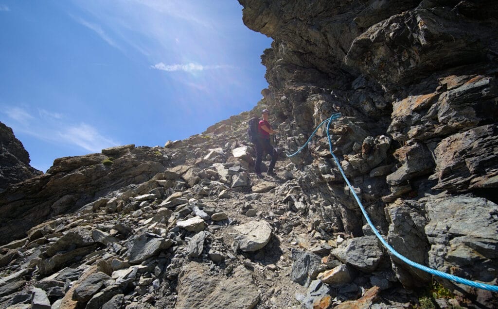
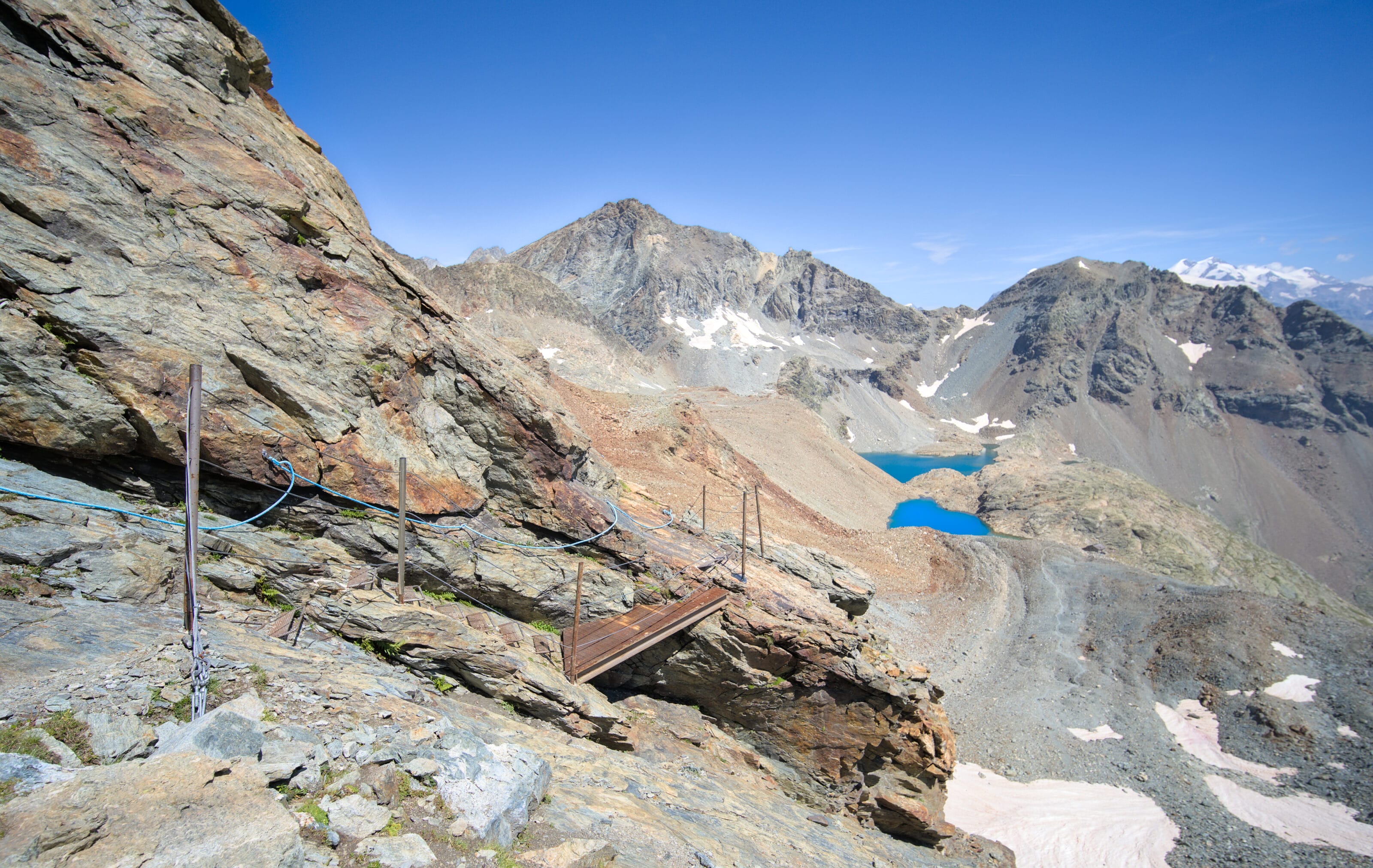
Of course, the trail goes right through here, between the cliffs! The path is very steep and exposed. Fortunately, it's well equipped with blue ropes and ladders. But there are clearly places where you don't want to slip… and I wouldn't recommend climbing this pass in bad weather.
Also, if like us you're planning to cross this pass with your dog, it's likely that you'll have to help/carry him in a few places. So at the very least, I recommend you have a harness that will allow you to lift him easily. Here are a few photos of this section to give you an idea:
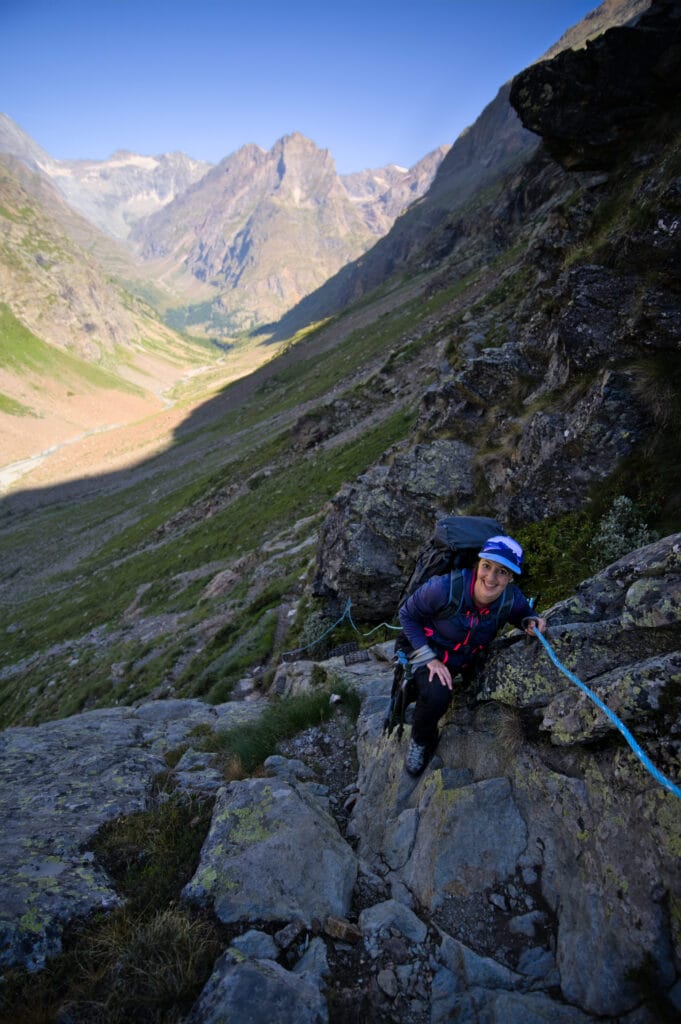
The slope softens a little before we reach a water source (indicated on the map). We take this chance to refill our water bottles and take a short break because, as you'll see, we're not quite finished yet 😉 .
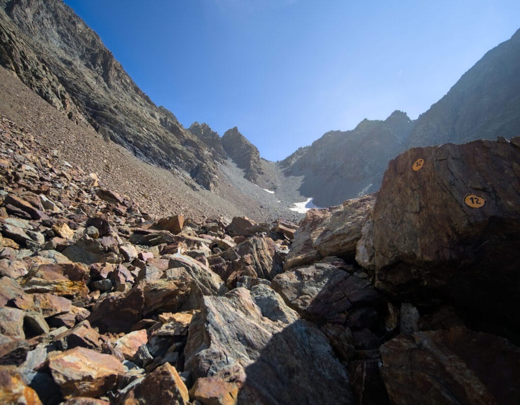
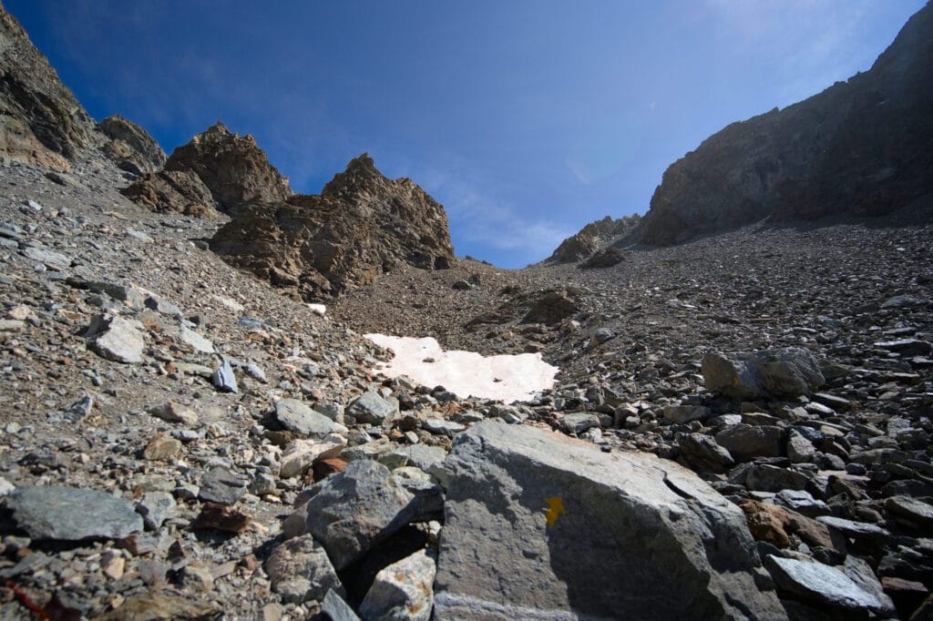
After the spring, we come to a sort of large rocky circus (or giant scree, as you prefer 🙂 ). And at the very bottom of this big pile of rocks we can see the summit of the Valcornière pass. At least we've got the end of the climb in sight this time!
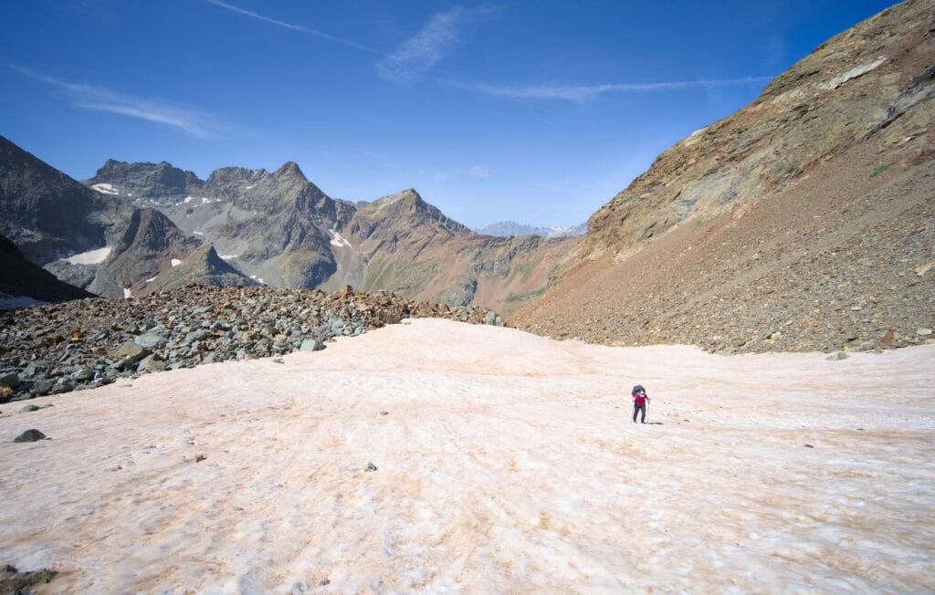
From here on, there's no real path. We simply follow the yellow marks on the rocks and cairns. First we cross a snowdrift that lasted until the end of August (easier to walk on snow than on rocks 😉 ), then we tackle the last 200m of steep ascent.
It's hard to pick out a particular trail, as I had the impression that there were several tracks… but in any case, there's no need to hesitate. This last stretch is pretty tough with our big rucksacks and all those not-so-stable rocks… but after 4-5 hours of climbing from our bivouac spot, we finally reach the top of the Valcornera pass (the signs said 3h30 from Prarayer).
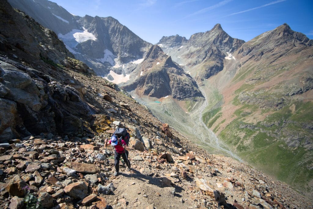
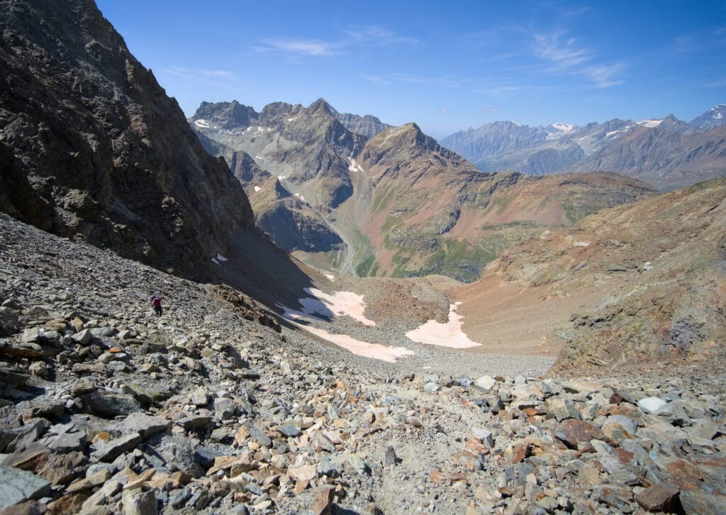
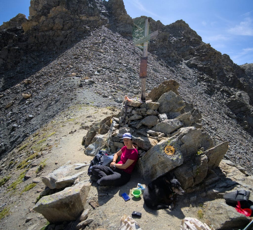
The view from the summit is truly breathtaking. The Dragon and Grand Lac lakes are right in front of us. In the background, we can see the snow-capped peaks of the Monte Rosa range in the distance. We take the opportunity to enjoy a nice, well-deserved picnic break while enjoying the view. The descent to the Perucca-Vuillermoz hut, although short, is technical and demands all our concentration.
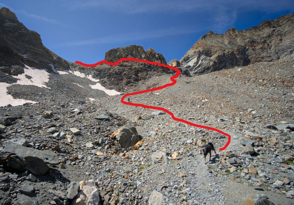
On the map, there's also a trail that seems to go straight down from the pass… perhaps there was a landslide that partially destroyed this path, but it doesn't seem to be used anymore (and looks dangerous, to be honest). We then follow the path indicated on the left, which first climbs up a little and then skirts around the boulder bar (which seems difficult to cross from above).
Luckily, this section is also very well equipped, as it's aerial and you don't want to slip. In fact, I had to carry the dog again at a point that was going down very steeply with ladders.
But to give you a better idea, a few pictures are worth more than words (I've also traced the path more or less in red on a photo taken from the bottom):
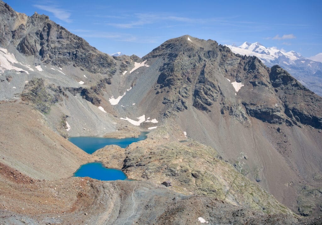
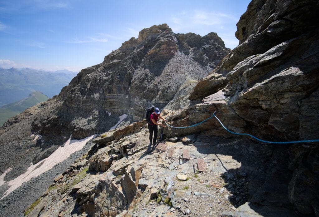
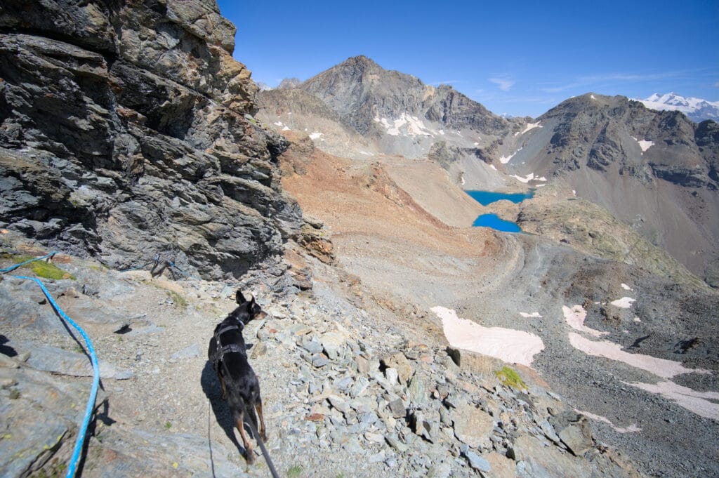
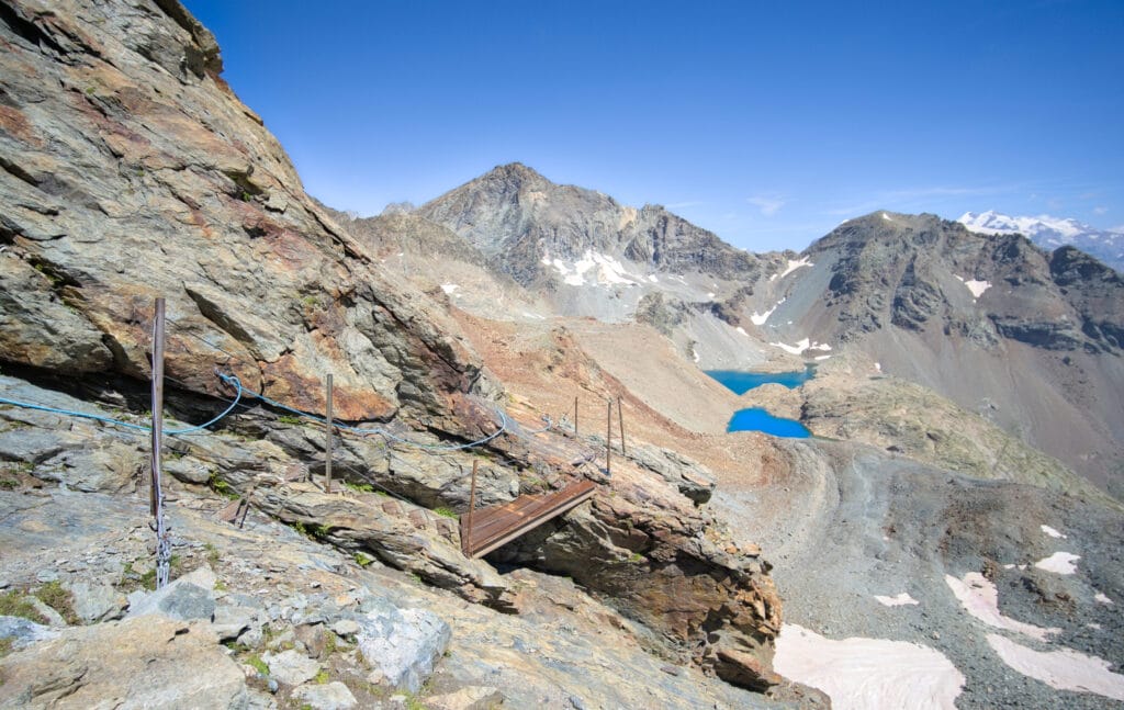
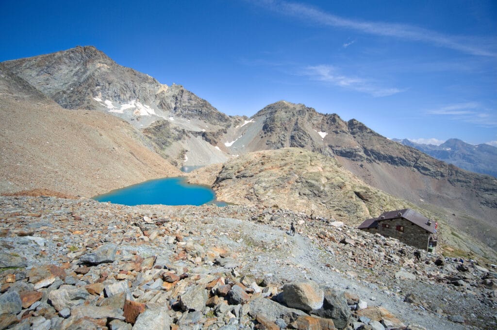
Once at the Perucca-Vuillermoz refuge, all the main difficulties of the day are behind us! So we treat ourselves to a slice of cake and a glass of soda to celebrate 🙂 . But we don't linger too long, since we've got our sights set on getting to Cervinia (for a pizza and a shower) and we've still got over 12 kms to go.
The path down from the refuge is much easier, and we're making much faster progress than before. What's more, the landscapes we cross are splendid! We go from lake to lake, from waterfall to waterfall as we descend along the streams! It's pure pleasure.
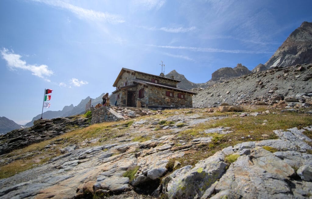
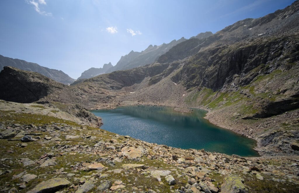
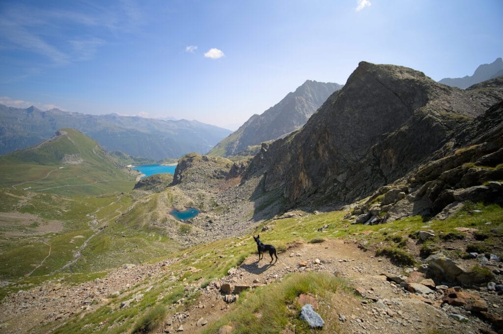
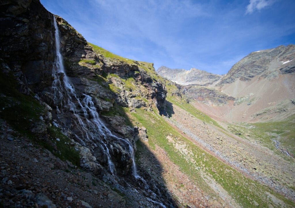
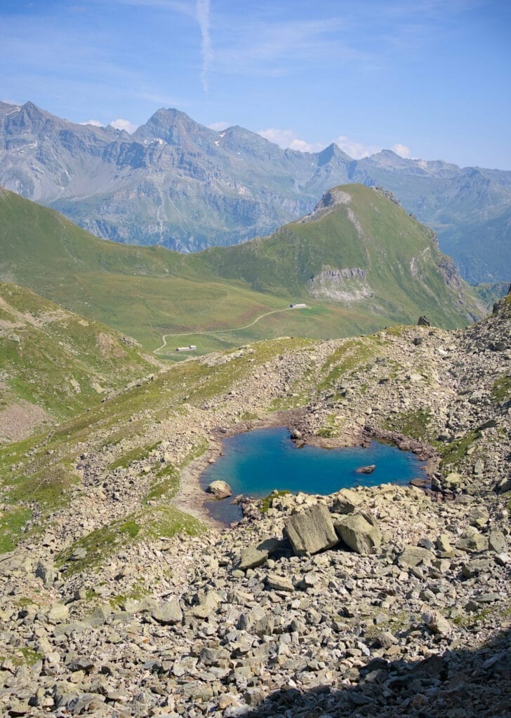
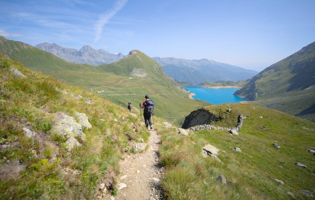
After about an hour's walk, we reach a mountain pasture where we have to climb up to the Cignana window ( a small climb just for fun 😉 ). From this point onwards, we start to see more people as we approach the town of Cervinia. This is also where we finally manage to book a room for the night in Cervinia… This guarantees us a good shower, a pizza and an extra dose of motivation for the last 7 kms.
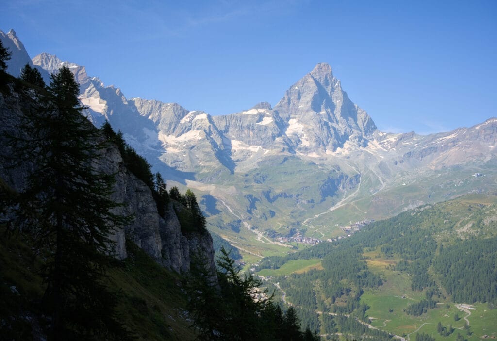
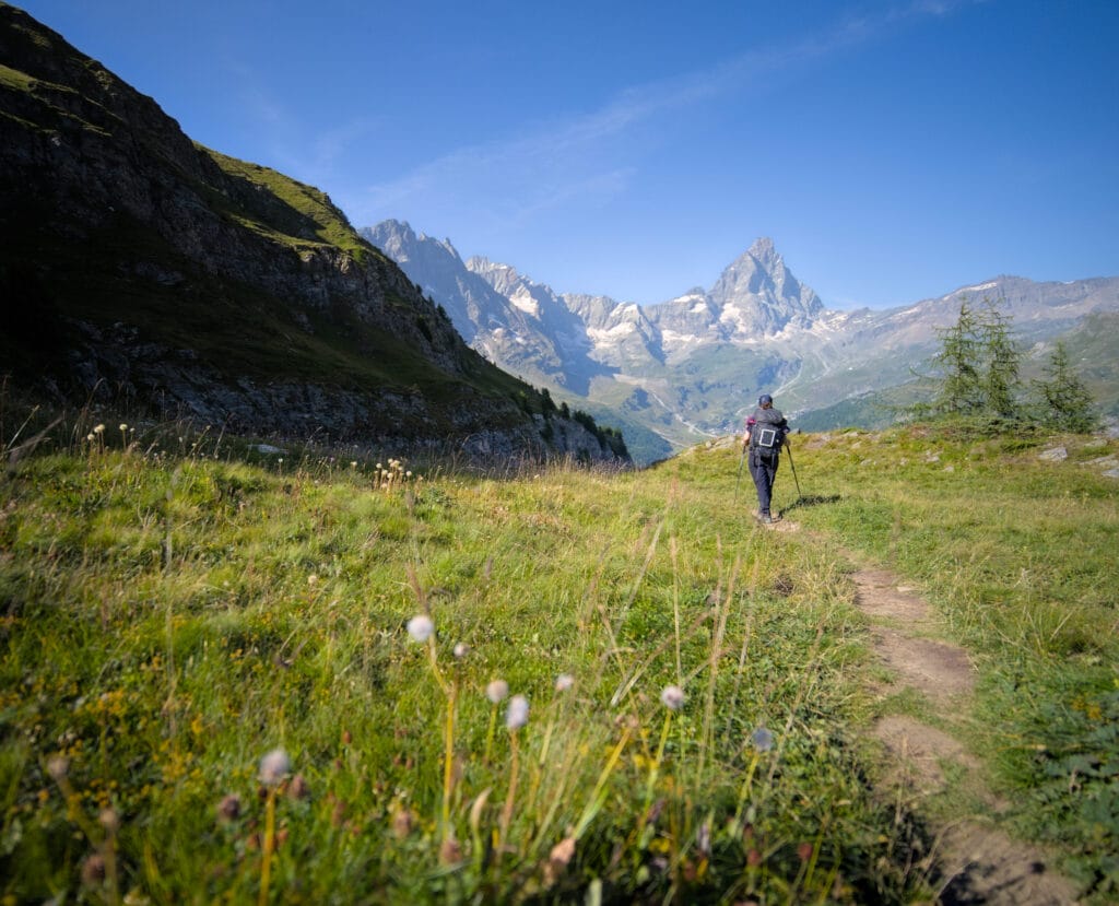
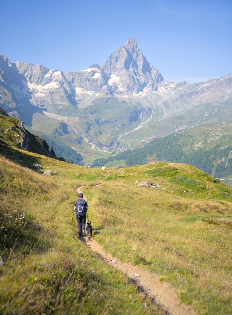
Shortly after this little pass, we finally catch sight of the Matterhorn's south face! We decide to stay on the upper trail, which offers magnificent views of the most famous rock in the Alps! After 3-4 km on the balcony trail, we take the 2nd path down to the valley. The last part of the walk to the village of Cervinia is of little interest, as it runs mainly alongside an ugly golf course.
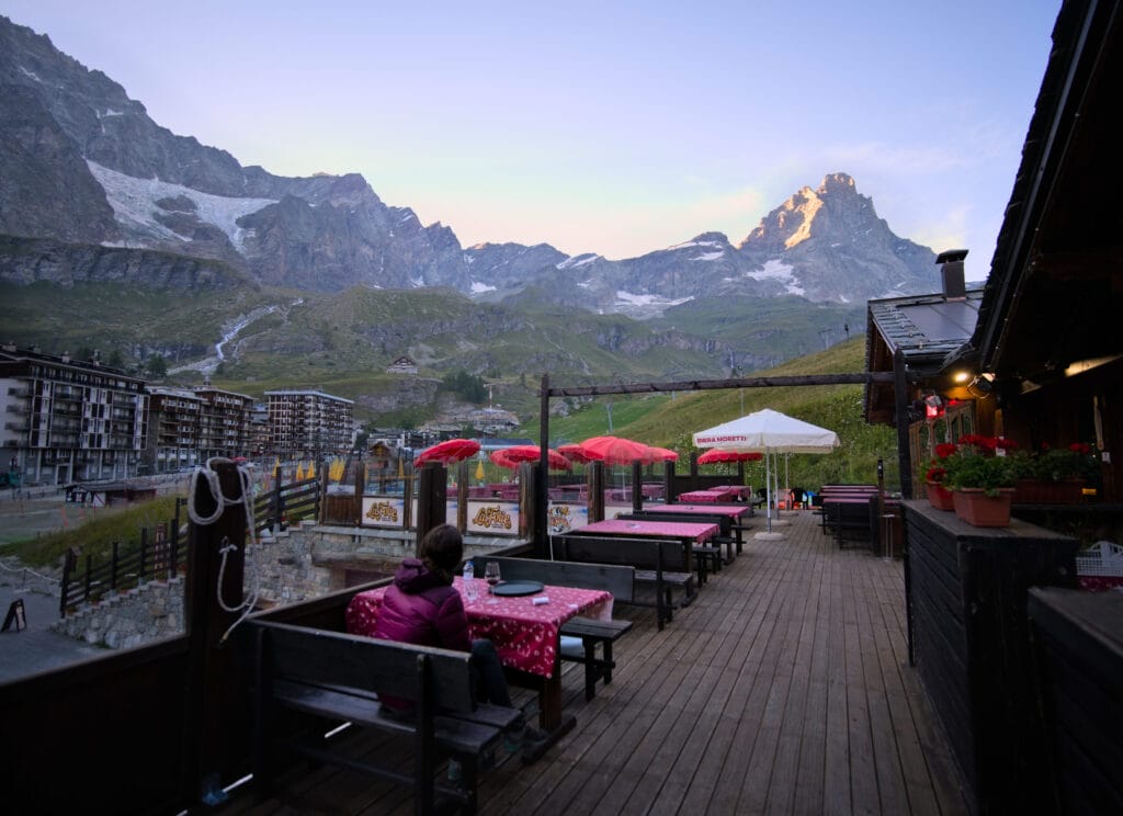
We also find that the village of Cervinia is not very beautiful… it's a sort of mixture of architecture from different eras with no real unity. So we quickly get the key to our room, take a nice shower, let Winchy rest in the room while we treat ourselves to a nice pizza (I could have eaten 2 lol) and at 10 pm we collapse in bed 😉
- Distance: 16,5 kms
- Elevation: around 1350m+-
- Difficulty: T4 sur l'échelle du CAS mais on l'a trouvée plus difficile que la veille
- Duration: between 9 and 11h
- infos: Although we booked at the last minute, we found that our hotel in Cervinia offered very good value for money (and is dog-friendly too).
Cervinia - Theodul pass and glacier
This morning we're sleeping in, as we have to wait for Cervinia's only grocery store to open at 8:30 to restock. In the meantime, we treat ourselves to a delicious breakfast (filled croissants and cappuccino) at the sweet side bakery next door, which we highly recommend.
Having found enough to eat for the next 2 days, we decide to save ourselves 800m of not-so-interesting elevation gain by taking the gondola up to the Cime Bianche lakes at 2800m. If we had hiked all the way, the day would have been a bit long, especially as it mainly consisted of walking under the lifts.
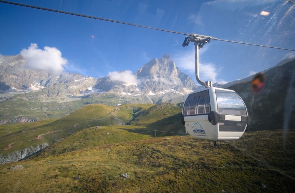
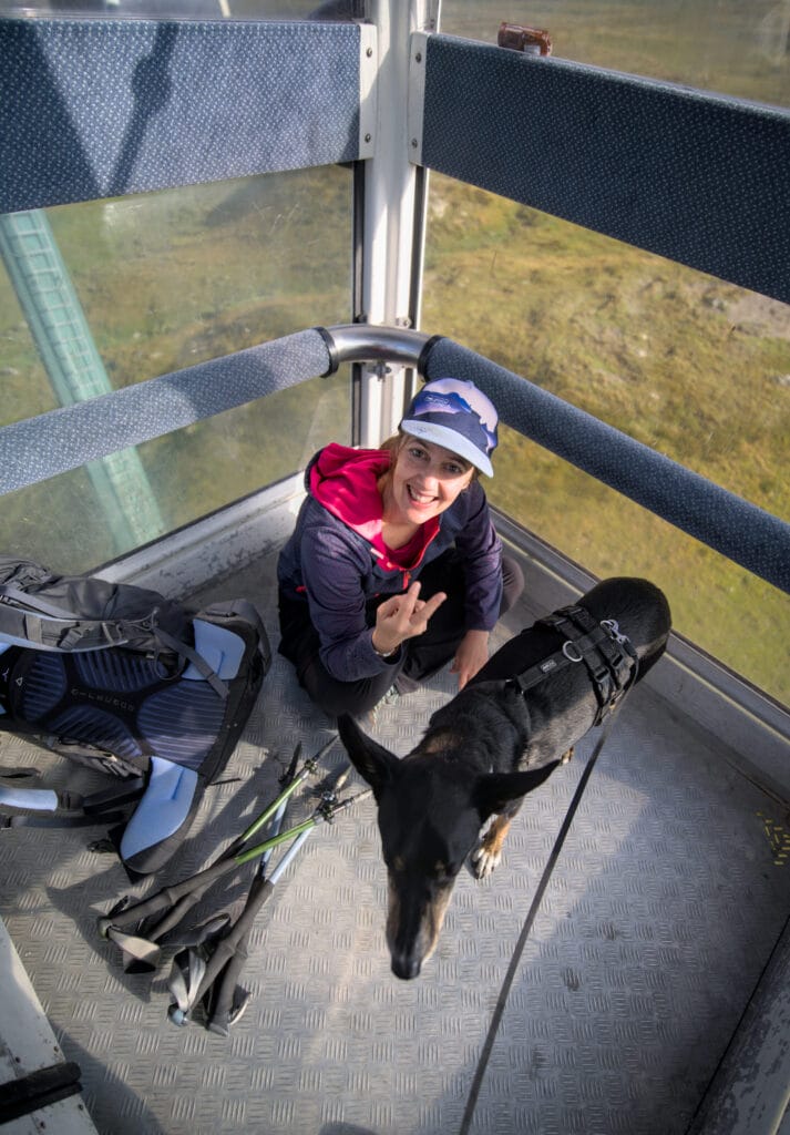
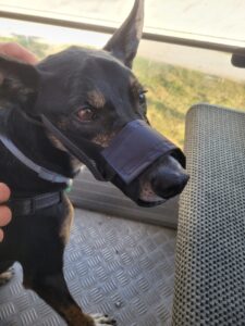
The price of the gondolas is already quite expensive (23.5€ per person, and we only did the short trip to the Cime Bianchi lakes… if you want to do the whole trip, expect to pay something like 150€ one way lol), and you'll also need to muzzle your dog. Obviously we didn't have a muzzle with us, but they sell them at the information desk at the bottom of the lifts for less than 10€.
Anyway… we bought the muzzle, put it on to get into the cable car and immediately took it off.
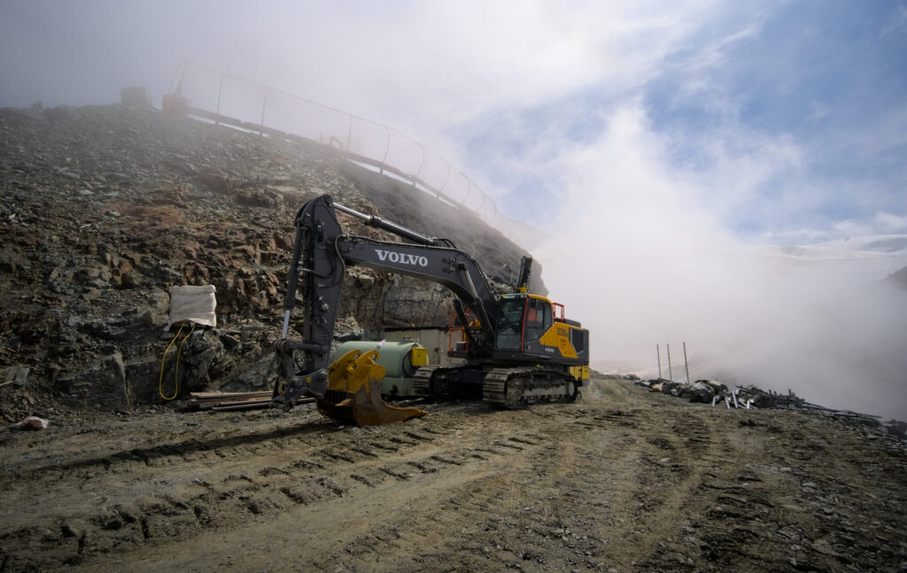
Once at the top of the gondola, we make our way down to the lakeside, where we're somewhat surprised to discover a… concrete factory with trucks, mechanical shovels and all (yes, really). We'd expected it a bit, but in summer, the Zermatt - Cervinia ski area is literally a construction site! We don't know exactly what they're doing with all those machines, but they're already preparing for the winter season.
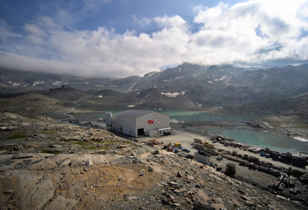
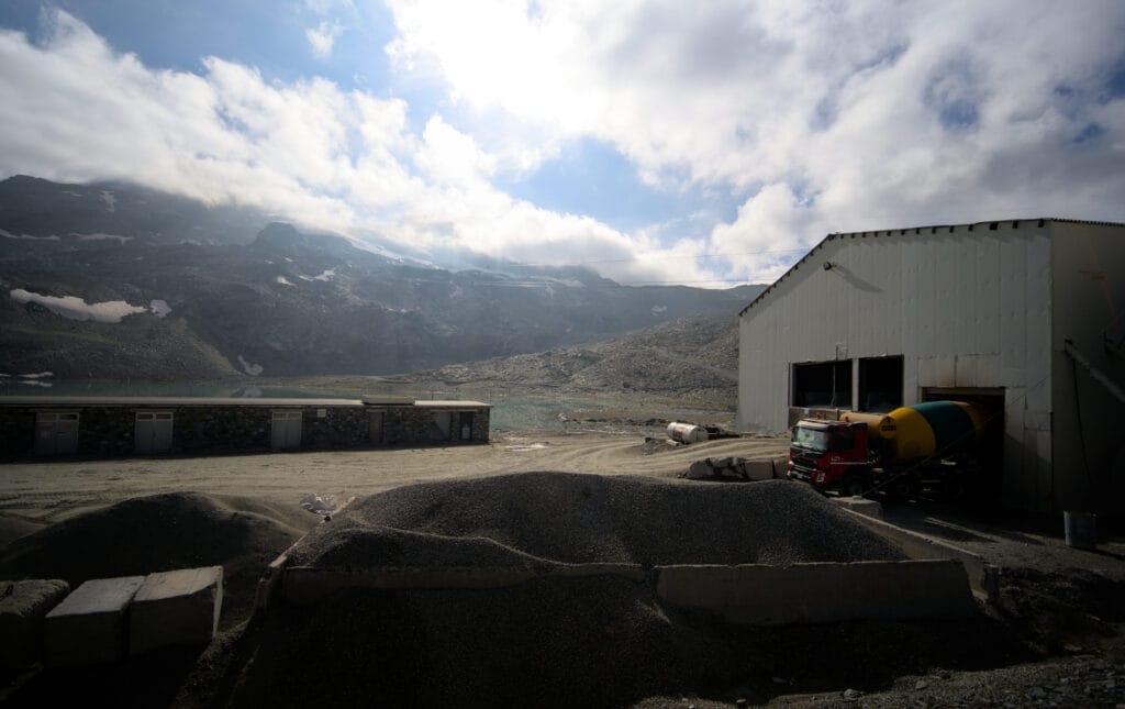
We follow a wide track that takes us first to the intermediate station of Bontadini, crossing a pretty lake. There are fine views of the Matterhorn, but we have to admit that after 2 days of hiking in a wild alpine environment, the return to civilization is a little brutal.
On our right we can also see the next cable car, which goes up to the Plateau Rosà, where you can ski all year round and easily attempt to climb the Breithorn (one of Switzerland's easiest 4000 m peaks).
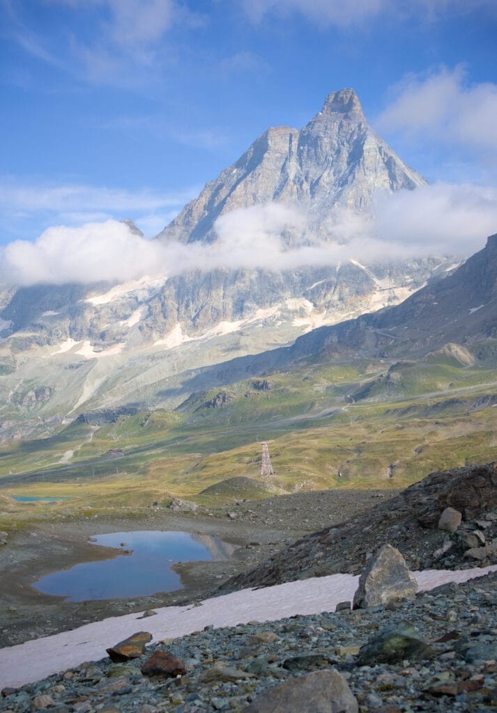
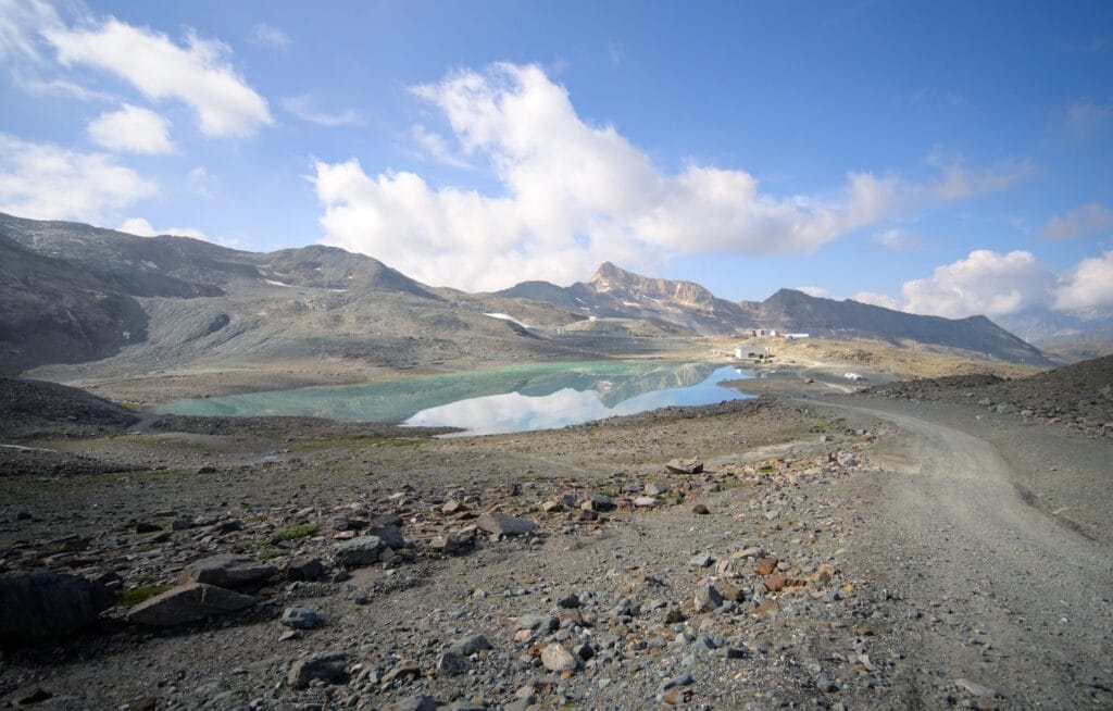
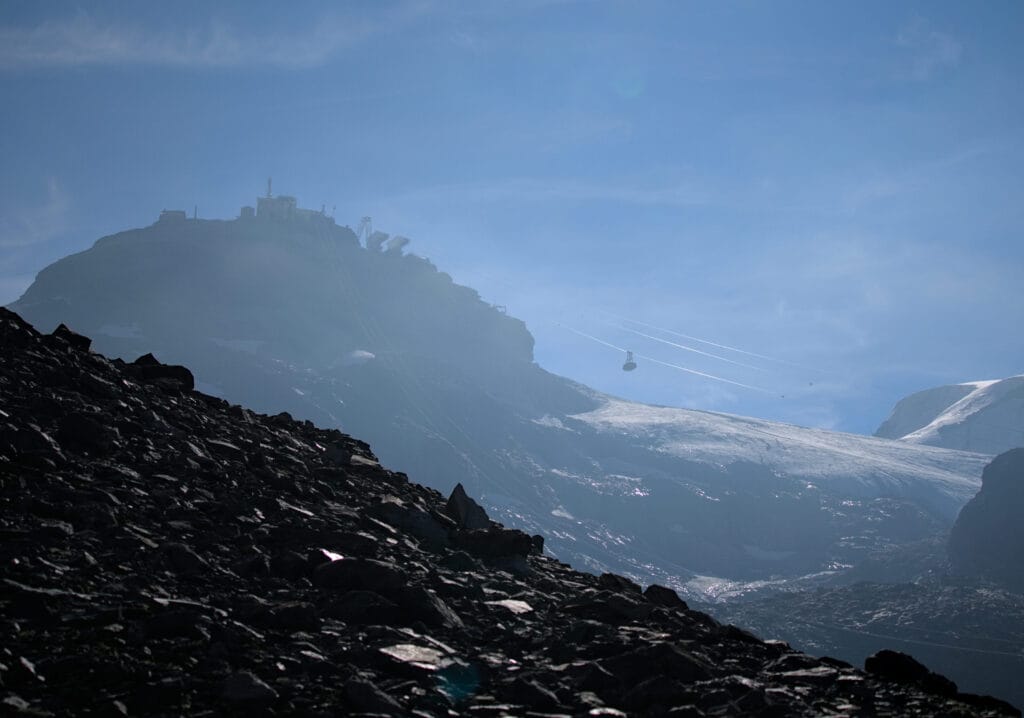
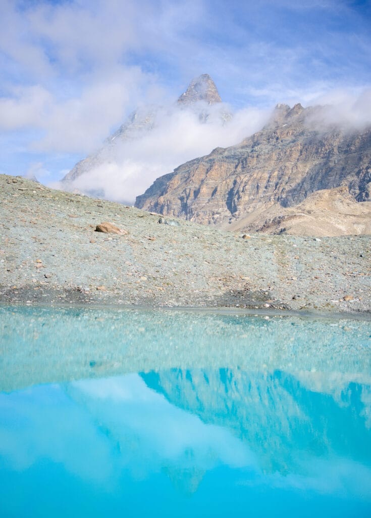
We continue on the track that climbs to the top of Theodul pass ( which is at over 3300m). Even if it's not difficult, the altitude makes for a fairly slow climb. From the arrival of the gondola at the lakes, it took us about 2 hours to reach the pass.
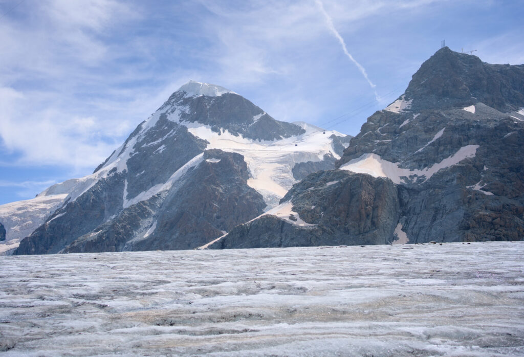
At the summit, we're a little conflicted by what we see… on the one hand, the view of the Theodul glacier and the Breithorn is magnificent. But on the other hand, there are ski lifts on almost every summit, people are skiing at the end of August on what's left of the glacier, there are snow groomers and shovels at 3300m… Man's influence is total, in striking contrast to our first 2 days on the trail.
This is quite far from our conception of the mountains, and we are glad we chose the Val d'Hérens to settle down and develop our coliving project.
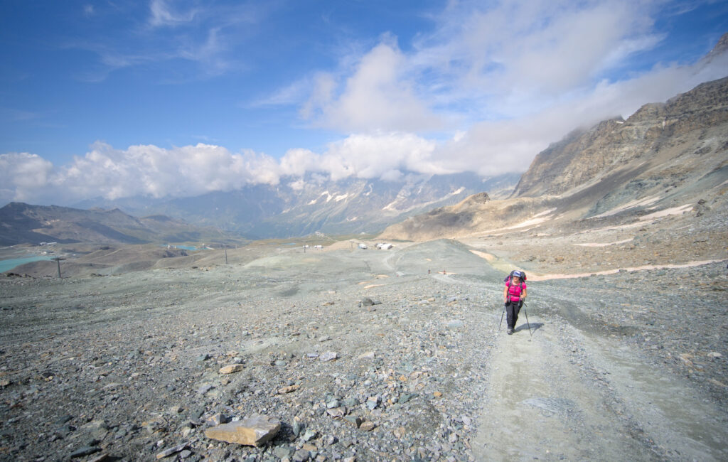
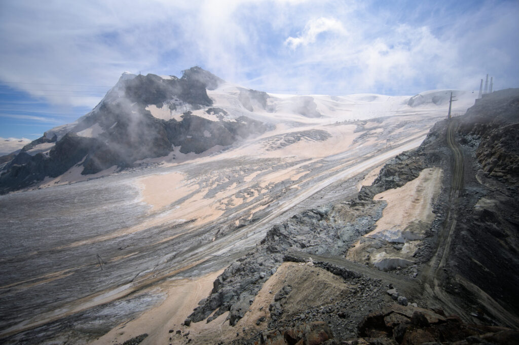
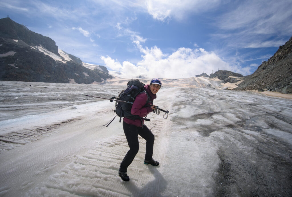
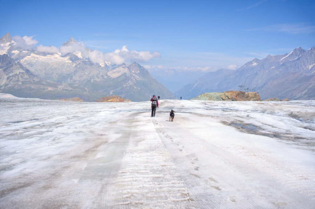
Once over the pass, we descend onto the Theodul glacier, which we have to cross entirely to reach Trockener Steg (literally the dry bridge). Where on the high Arolla glacier we still had to find our way around a bit, here there's hardly any doubt. There's literally a groomed trail all the way down to the bottom of the glacier.
As far as we were concerned, we didn't feel the need to use crampons or ropes, and crossed easily just by hiking. On the way down, the view opens up and we can admire the Mont Rose range on our right, and the Matterhorn, Dent Blanche, Weisshorn and most of the 4000m peaks of the Valais Alps on our left. Leaving aside all the infrastructure, we have to admit that there are a lot of pretty rocks around us 😉 .
Once off the glacier, we take a short picnic break before embarking on a series of “little detours” to make the most of the Matterhorn, which we're discovering for the 1st time from the Swiss side.
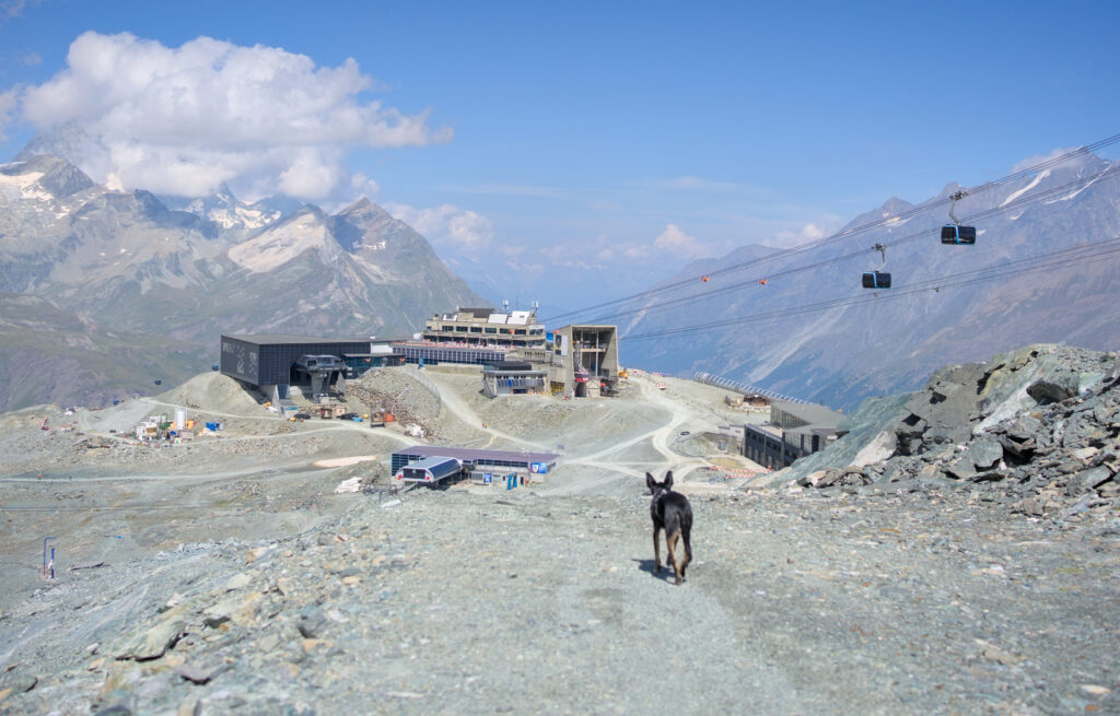
Because yes, for us Swiss kids, we've never really hiked around Zermatt before. So we really want to rectify the situation and discover Switzerland's most famous rock from every angle!
From Trockener Steg, instead of going straight down to Zermatt, we'll take the Matterhorn Glacier trail to the left. We'll tell you more about this in another blog post, but it's a hiking trail that links Trockener Steg to Schwarzsee, with didactic panels about the glaciers.
We were mainly interested in the Matterhorn and its two main ridges (Hornli Ridge and Lion Ridge), rather than the information panels. There are also several alpine lakes along the trail, which gave us magnificent panoramic views! I'll let you be the judge 😉
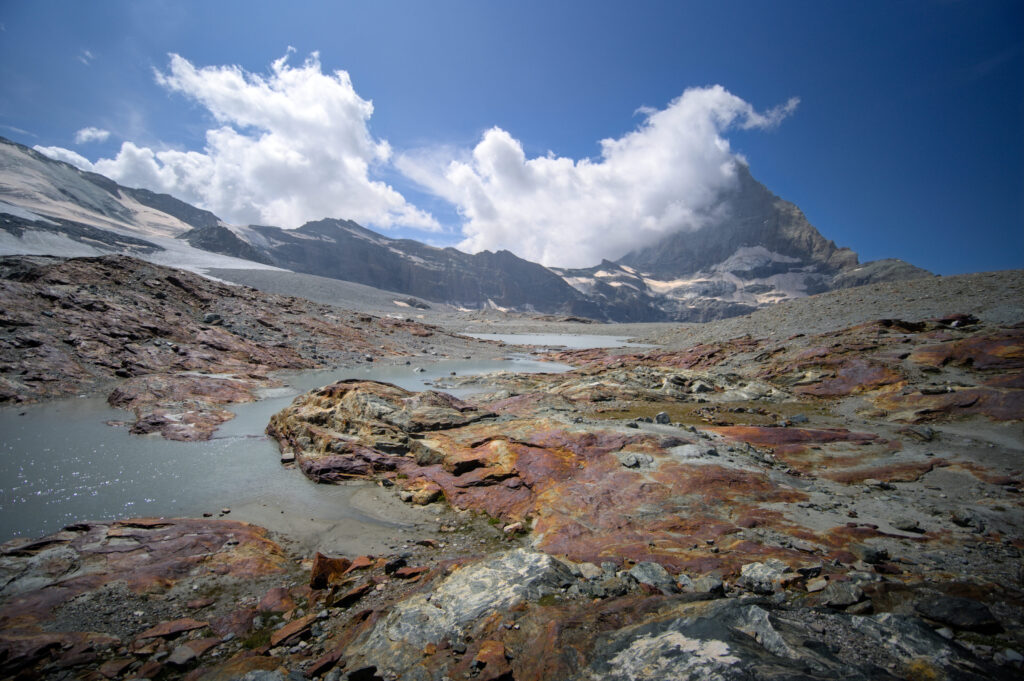
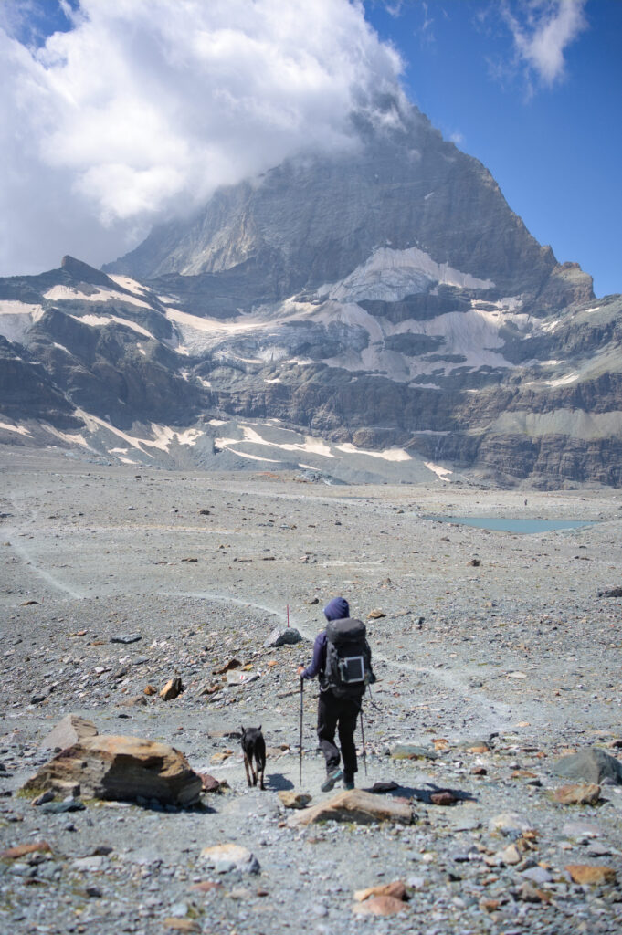
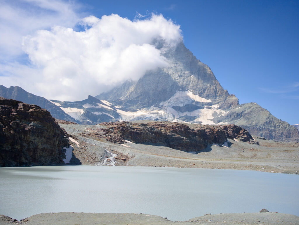
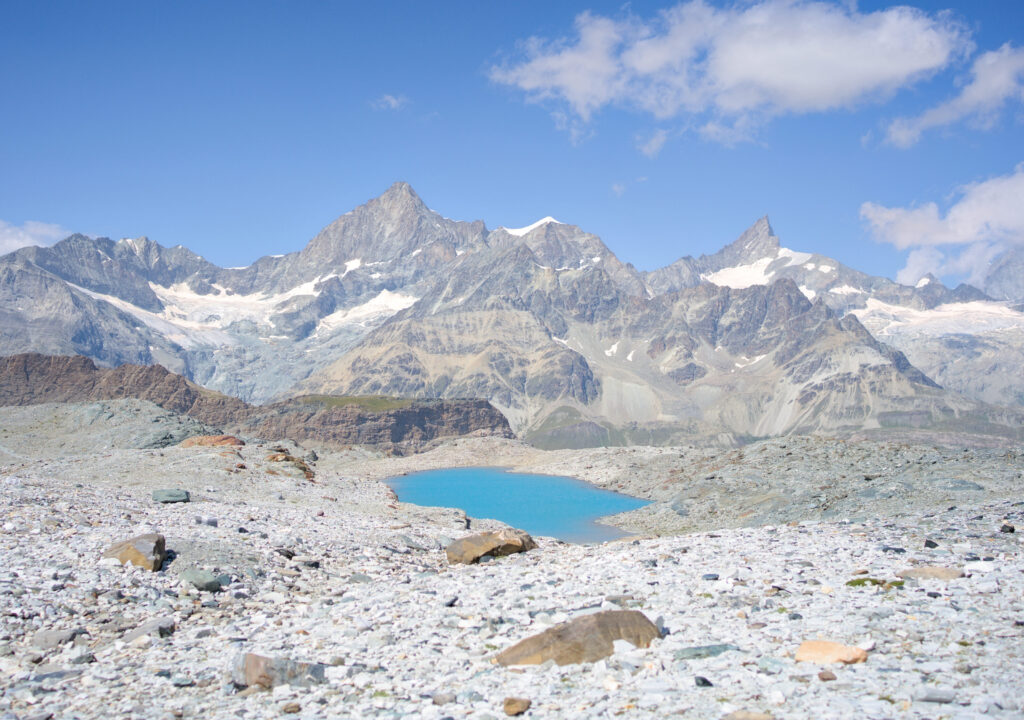
The trail passes just below the ridge and the Hörnli hut. You can see the climbers on the ridge, as this is the normal route to climb the Matterhorn on the Swiss side. As for us, we don't plan to climb the Matterhorn and we're looking for a good bivouac spot as it's getting late.
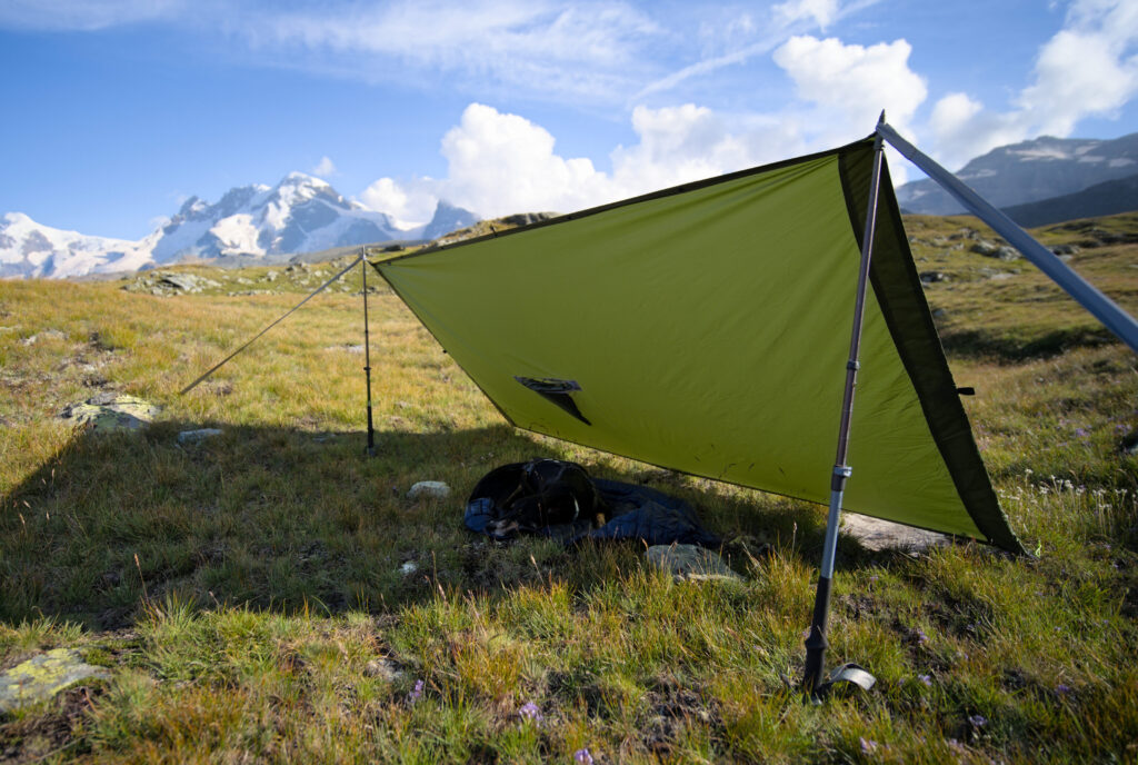
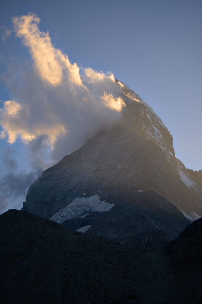
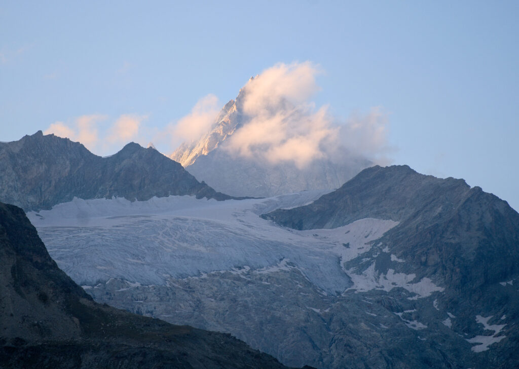
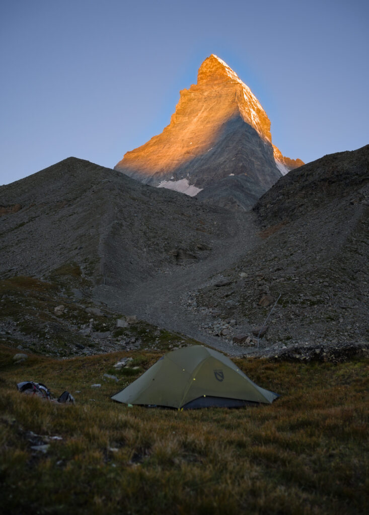
We find a nice location at the foot of the Matterhorn (a little higher than the Schwarzsee) to pitch our tent. We'll still be seeing/hearing a lot of climbers coming down from the Matterhorn until late in the evening. As for Winchy, he's knocked out and we first give him a bit of shade with our tarp before letting him sleep in the tent while we enjoy the sunset.
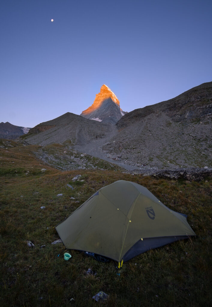
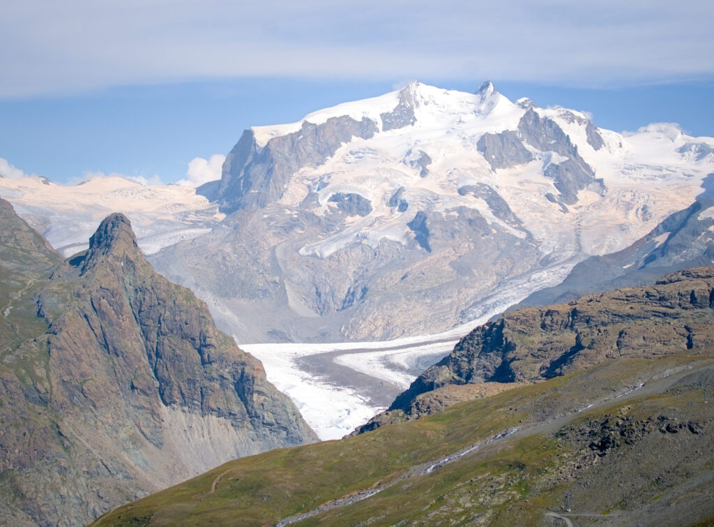
- Distance: around 14 kms
- Elevation: about 700m +-
- Duration: 6-7 hiking hours
- Difficulty: Medium (No technical difficulty on the glacier and the trails)
Hiking down to Furi and the 5 lakes trail
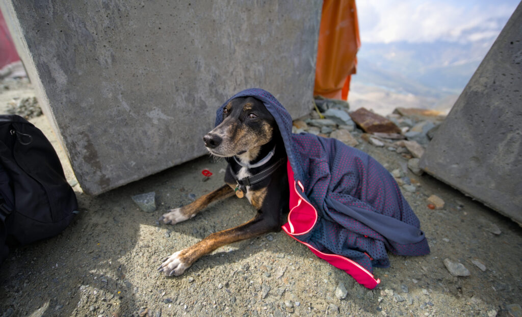
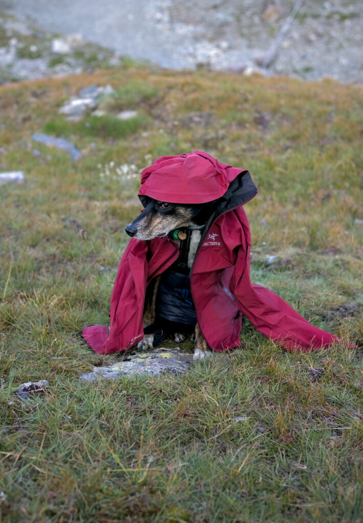
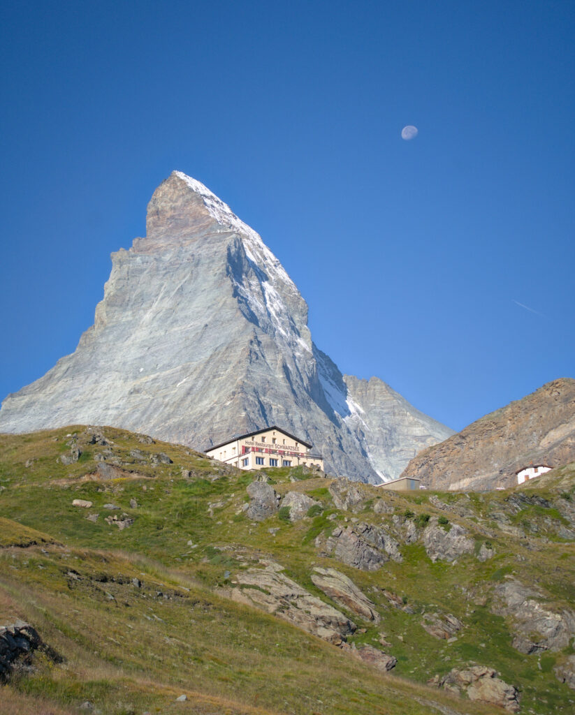
It's a chilly morning at 2600m! It's hard to get Winchy out of the tent, so we wrap him up in a down jacket and a gore tex while we pack up camp (maybe next time we'll bring his down jacket 😉 ). After swallowing a few cookies and an instant cappuccino, we set off towards the Schwarzsee (or black lake, if you prefer). In the early morning light, the lake looks absolutely stunning, with the Matterhorn and the moon towering over it.
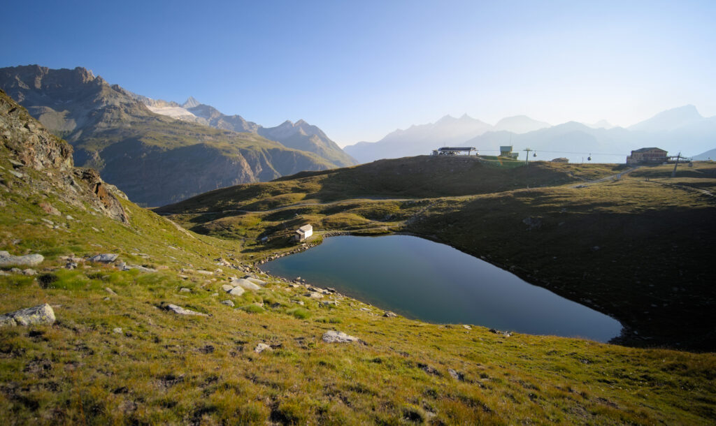
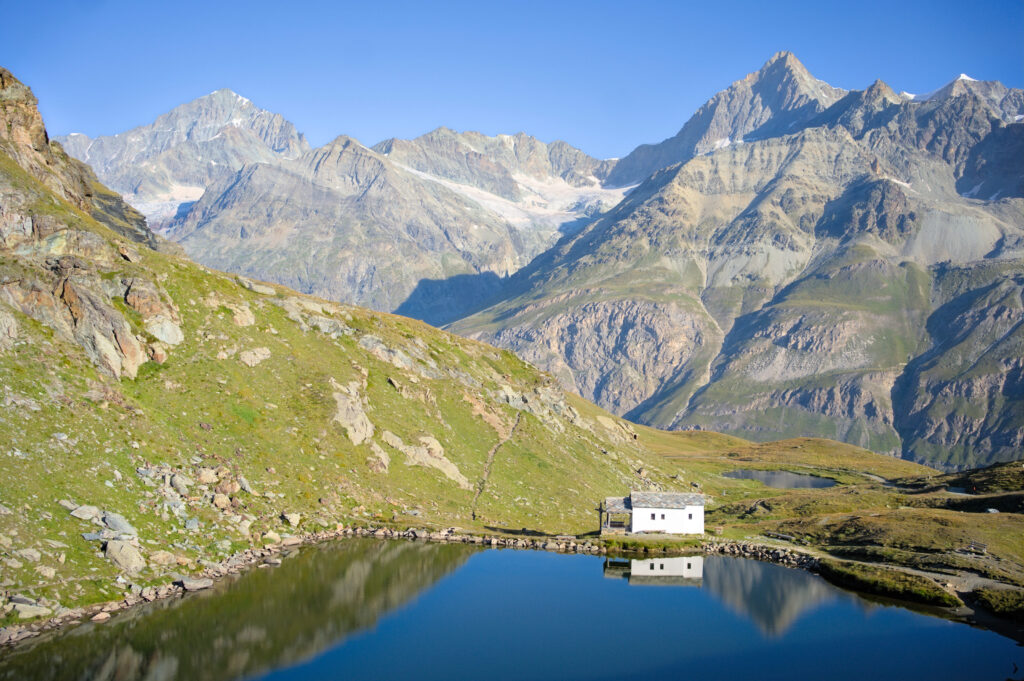
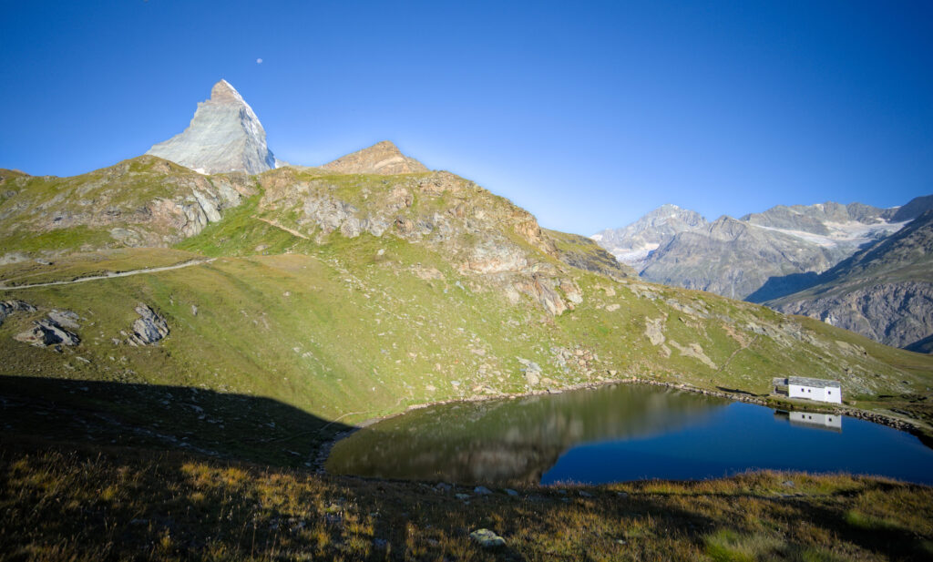
The plan for this last trek day is to head down to Furi and then up to Riffelalp to do Zermatt's famous five lake hike (because there's also another one around Pizol in the canton of St. Gallen). We'll tell you all about it in a separate blog post, but this will be our last “detour” on this adventure.
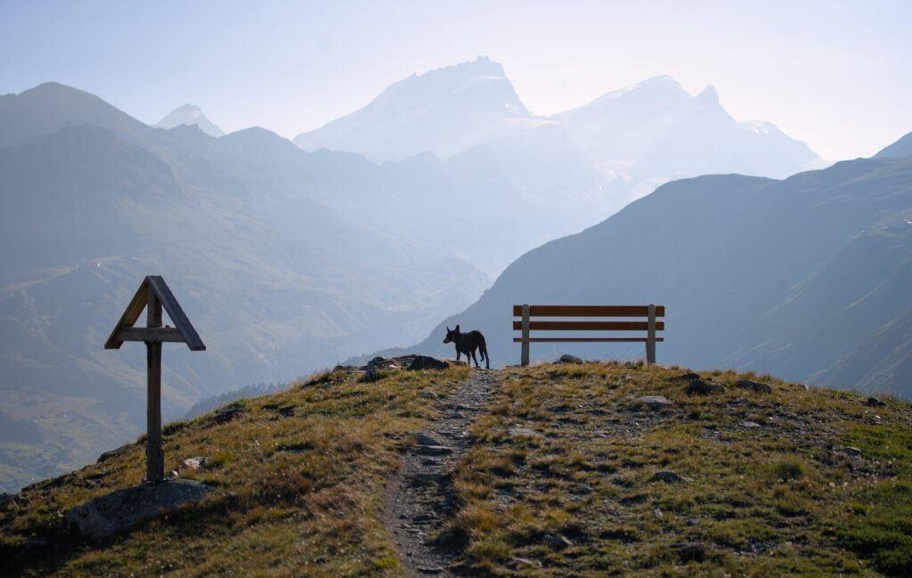
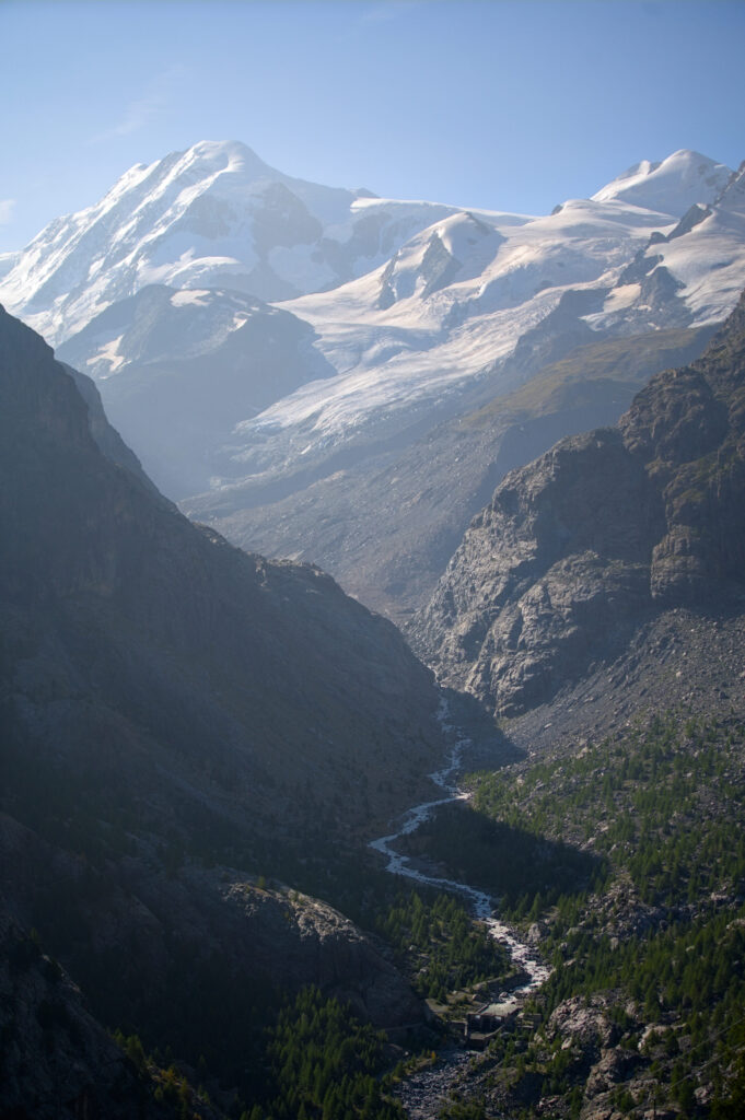
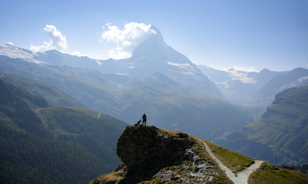
The descent to Furi is pretty nice, with the Matterhorn peeking out behind the Schwarzsee hotel and the Monte Rosa range with its glaciers to our right. It takes us about 1h30 to get down… just in time for coffee on a sunny terrace.
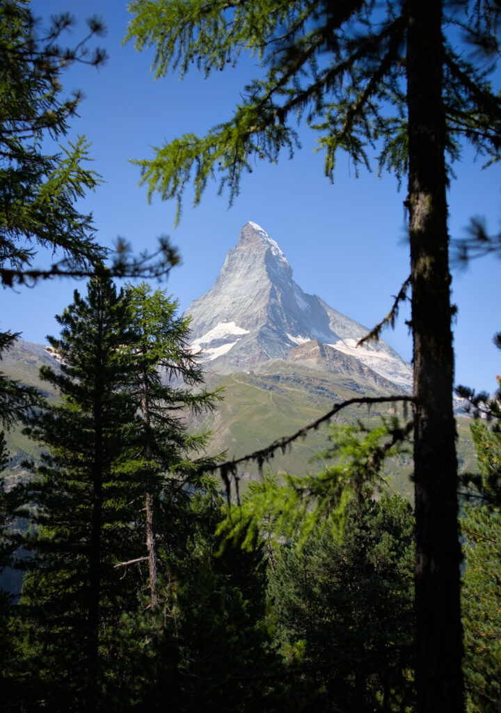
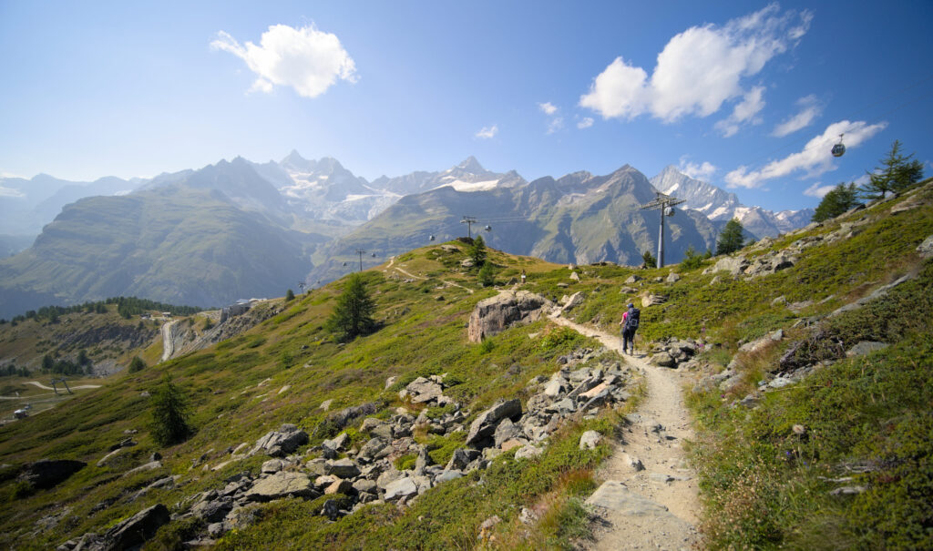
Although we're not far from Zermatt, we head back up towards Riffelalp on a lovely forest path. From time to time, we cross what must be the ski slope in winter. Behind us, through the larches, we still have a magnificent view of the Matterhorn, and we're thinking that the best time to do this hike must surely be autumn (for the orange larch trees).
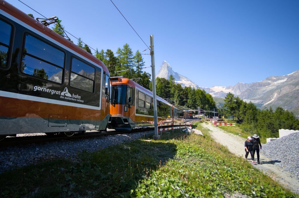
Once we've reached the alpine pasture, we turn left onto an almost flat balcony trail that will take us to the first of the 5 lakes on the hike: Grünsee (or Green Lake). We pass the Riffelalp railway station, home to the famous Gornergrat train (a viewpoint of the glaciers, the Monte Rosa range and the Matterhorn). Like the Alpine crossing gondola, this train is extremely expensive, costing over 100chfs for the round trip from Zermatt.
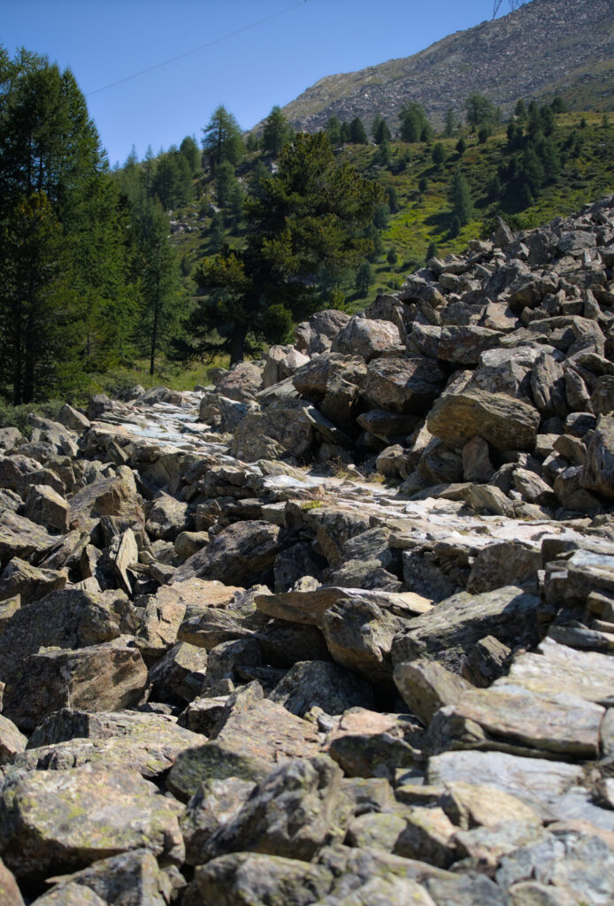
From the station, you can feel that you're on the route of the 5 lakes trail. The path is wide and heavily used. Even the scree slopes have been flattened to facilitate access for hikers.
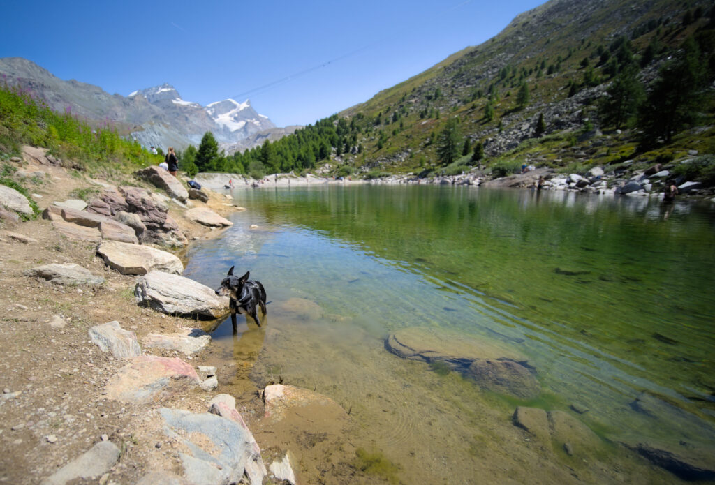
We take advantage of a picnic table to eat along the trail. It's a beautiful summer Friday and there are many people walking this itinerary. We first pass by the green lake ( which lives up to its name) where a lot of people are swimming (or sunbathing). Winchy also gets a chance to cool off in the water 😉
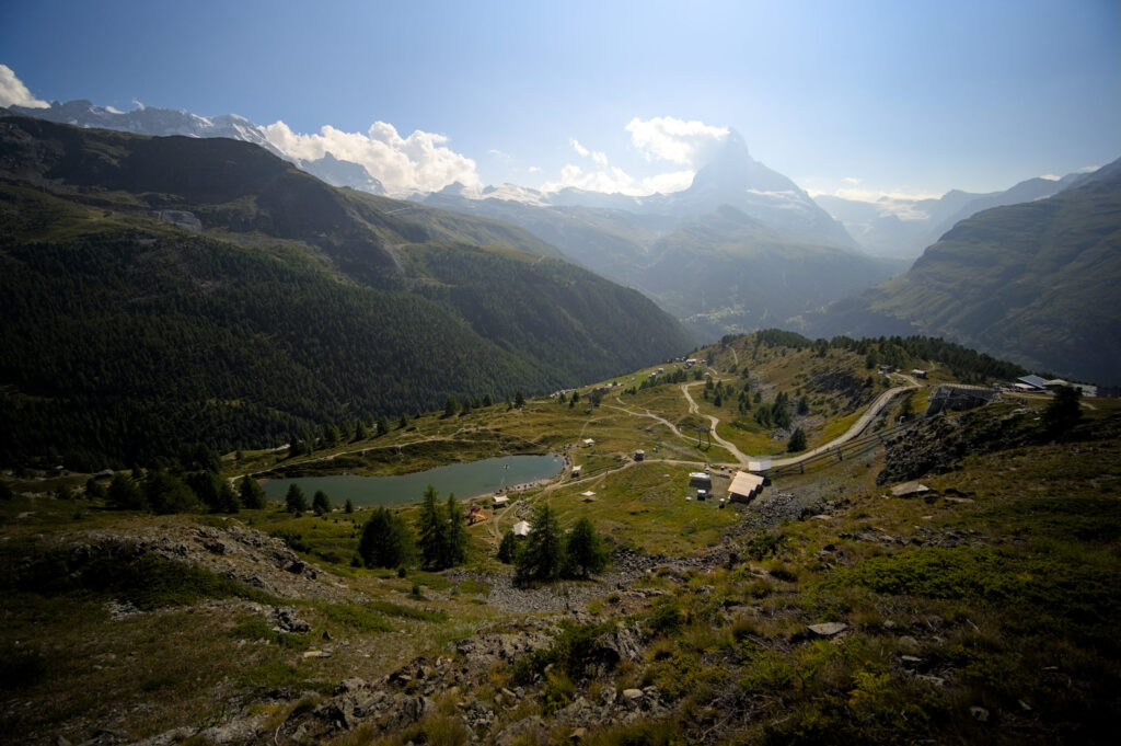
We then cross the Findelbach to continue on a track that takes us to Grindjisee, the 2nd of the 5 lakes. This is perhaps my favorite lake, as it's surrounded by larch trees / vegetation and the Matterhorn reflects itself wonderfully.
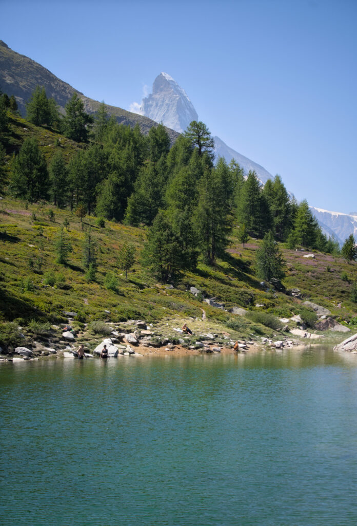
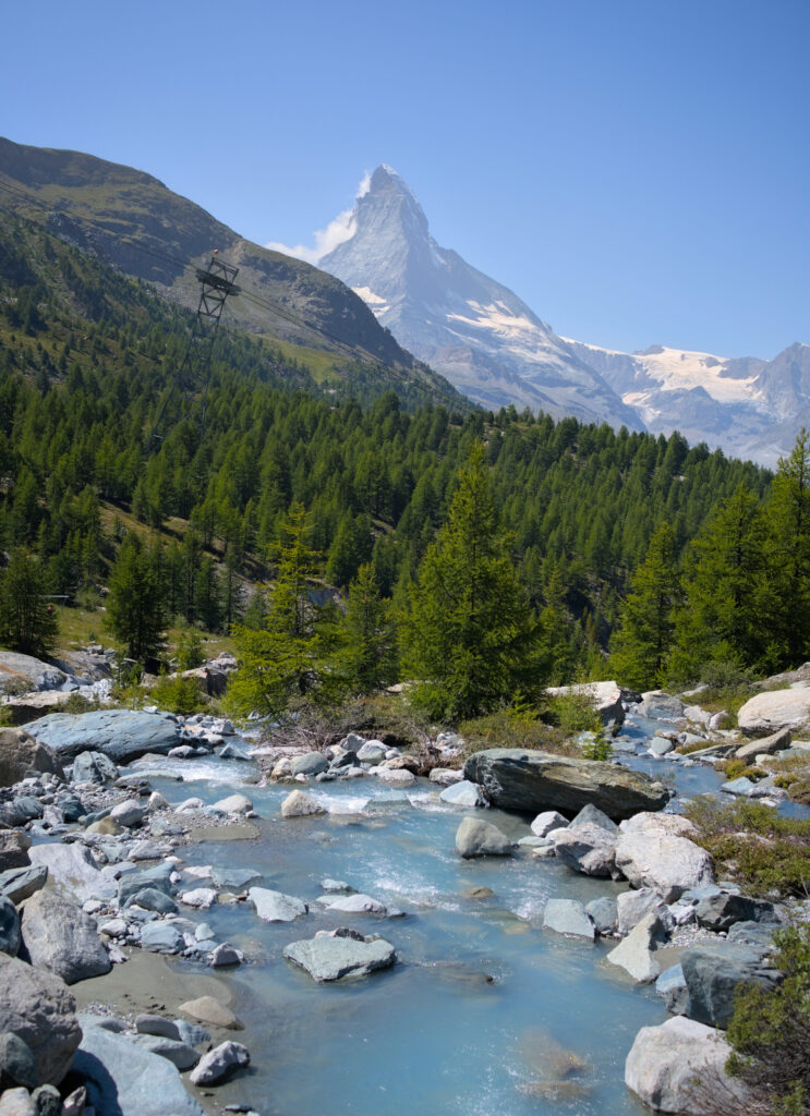
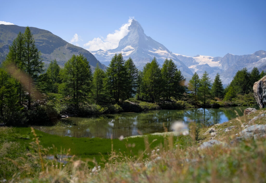
Last climb for us, we head up to Stellisee (the 3rd of the 5 lakes), just below the Fluh alp and its pretty mountain restaurant. From here, we also have a fine view of the Adlerhorn, Strahlhorn and Findel glacier. The view from the lake is not bad either, with a reflection of the Matterhorn.
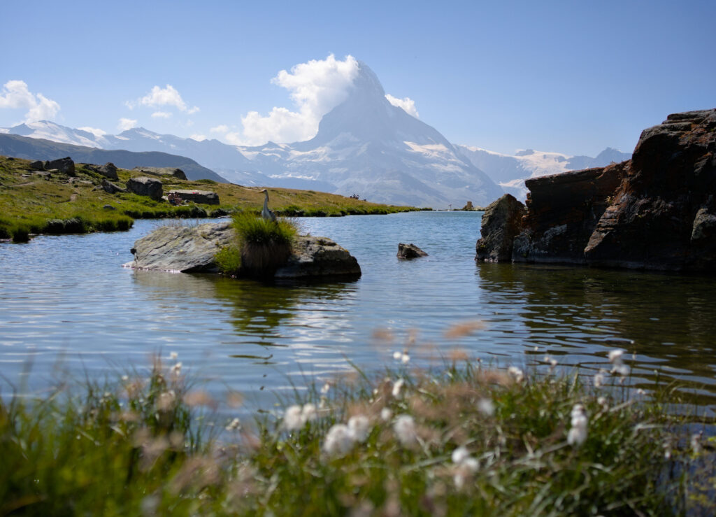
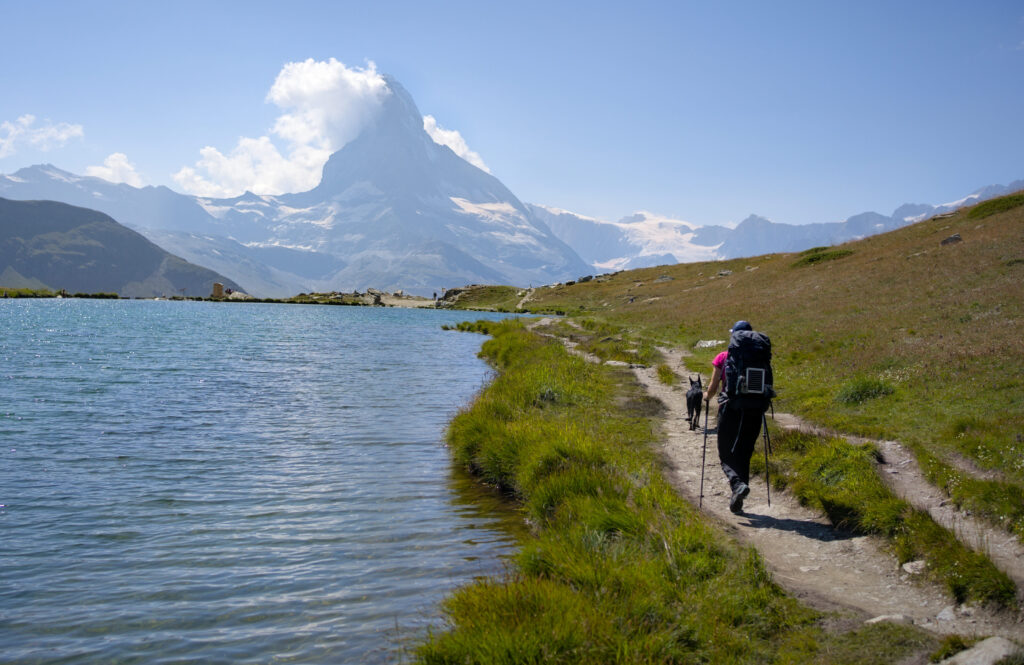
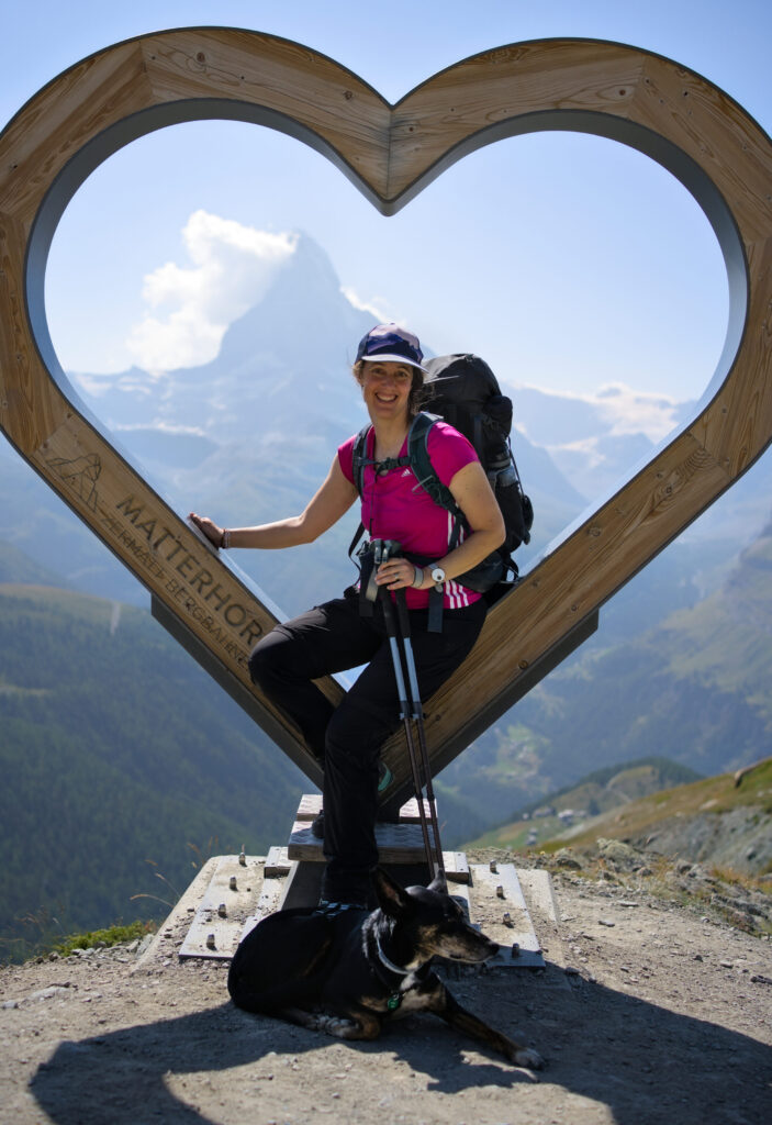
From there, we take the wrong path, following the upper trail to the top of the Blauherd gondola (instead of going down to the last 2 lakes). We stop off at the Blue lounge restaurant to drink the most expensive rivella blue of our lives (14chfs for 2 rivella) and take a souvenir photo in front of the heart of the Matterhorn before moving on.
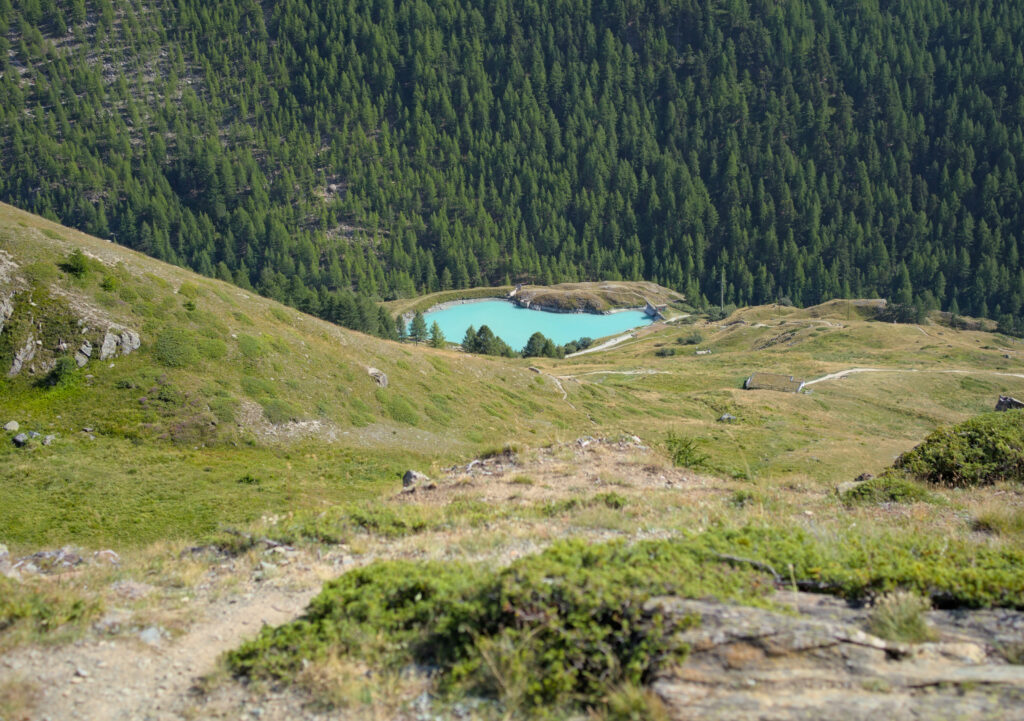
To reach Sunnegga, we take the marmot trail without making any further detours to see the last 2 lakes. So from the top we'll be able to appreciate the Mosjesee and Leisee before reaching the Sunnegga station, where a metro takes us back down to Zermatt (and doesn't cost a fortune for once, 9 chfs for the descent).
We had thought of bivouacking up around the lakes… but to be honest, there are far too many people in this area and it didn't seem very smart to camp up there. So we decided to head back down to Zermatt and sleep at the campsite. The campsite is pretty cheap for Zermatt (20chfs per person)… but we found that the infrastructure was a bit limited for so many people. The campsite was overcrowded and there were only 4 toilets and 4 showers for everyone. But it has the merit of existing, which also allows the “vulgum pecus” to sleep in Zermatt for cheap!
- Distance: 16,1 kms
- Elevation: around 850m of elevation gain and 1000m down
- Duration: 7-8h
- Difficulty: easy
What we'll remember from our Matterhorn tour
In conclusion, I'd say it was one of the most beautiful tours we've ever done, but also one that took us to the limit of what we can do with the dog and all the bivouac gear. I think Fabienne will agree if I say that she was already well outside her comfort zone on the Valcornière pass. And we couldn't have taken Winchy any steeper than that either (at least not without suitable equipment and without training him to be carried with a rope, for example).
But we will remember the tranquillity and incredible alpine atmosphere we felt on the first 2 stages between Arolla and Cervinia. The places we passed through on those days were truly wild, and that's what we're looking for when we embark on this kind of adventure.
And despite all the infrastructure around Zermatt-Cervinia, we still enjoyed discovering the Matterhorn from all angles. This mountain is simply magnificent, and has not stolen its title as the most beautiful rock in the Alps!
On a eu un peu de peine à trouver de bons retours d'expérience sur cette rando, mais voici les plus utils d'entre-eux:
- The Matterhorn tour by Mark
- On camptocamp there are useful posts in french about the Matterhorn tour or the Valcornera pass
- The official website of the Matterhorn tour
I think you've now read all about our adventure between Arolla and Zermatt on the Matterhorn tour! If you still have any questions, don't hesitate to ask us in the comments below.
Pin it on Pinterest

Join the discussion