Today we take you for one of our favorite hikes "close to home": The Lac de Soi. An itinerary without particular difficulty but with a unique reward... Let us tell you more about this beautiful little mountain lake that has some nice surprises... Make yourself comfortable and let us take you for a little scenic ride
At the end of this blog post, you will find two suggested itineraries to discover this magical place by yourself.
- Location of Lac de Soi - at the foot of the Dents du Midi
- Lac de Soi : when a mountain lake becomes a work of Land-Art
- When should you hike to lac de Soi?
- Departure from Plan de Soi - the shortest route
- The lac de Soi from Chindonne
- Hiking map to lac de Soi
- Add the Lac de Soi alternative to the Dents du Midi tour
Location of Lac de Soi - at the foot of the Dents du Midi
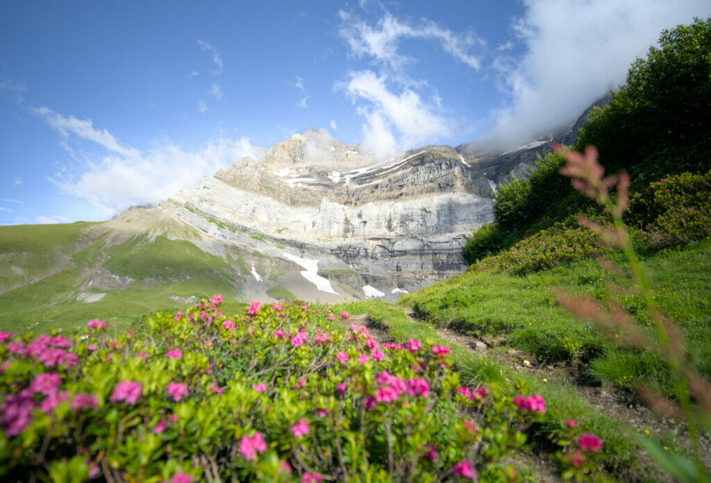
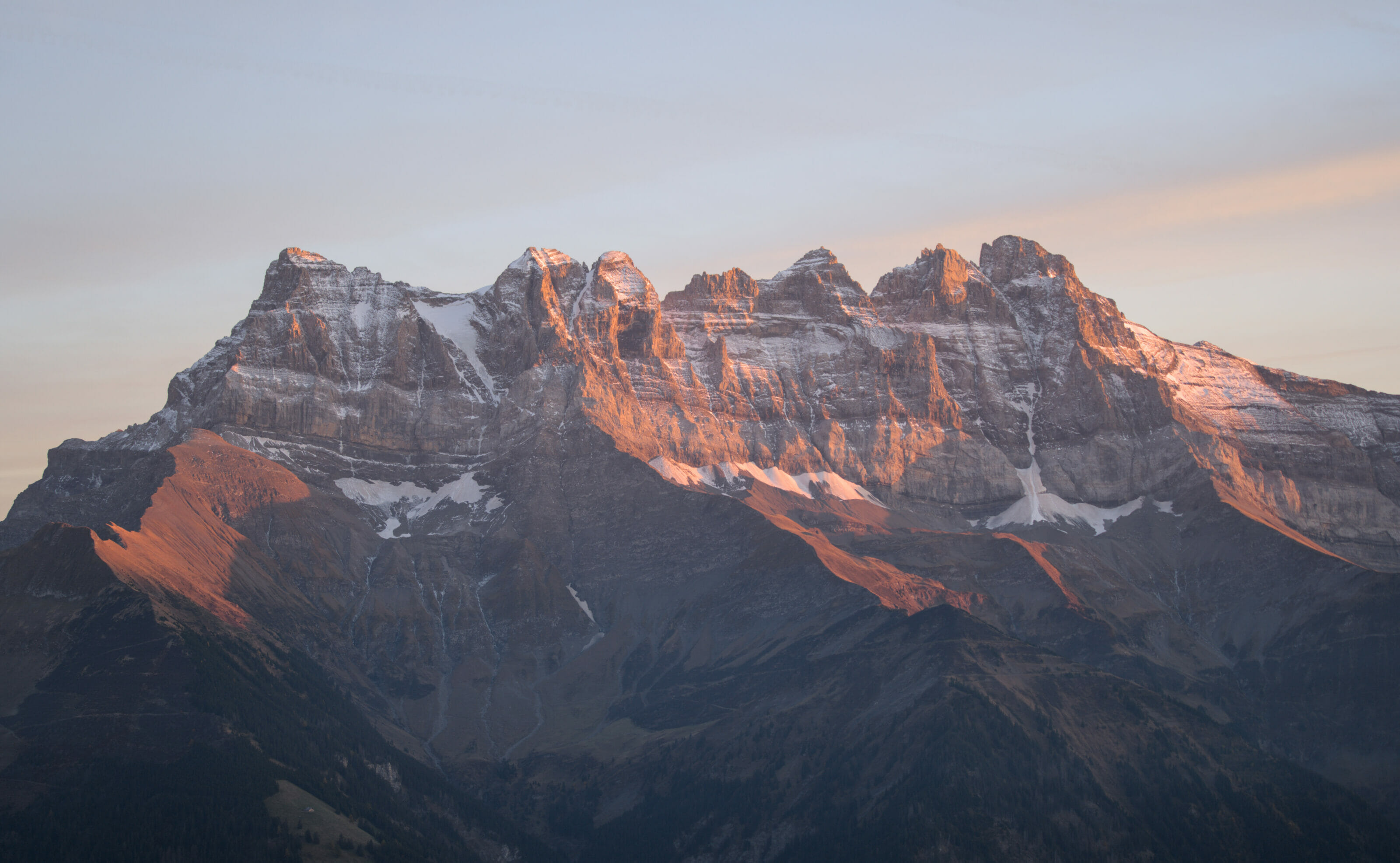
Nestled at an altitude of 2247m, Lac de Soi is a little paradise perched at the foot of the beautiful Dents du Midi and more particularly at the foot of the Eperon, Cathédrale and the Dent Jaune. We are here in what is commonly called the "Bas-Valais" and more particularly the Vallée d'Illiez, in the region above the towns of Monthey and Saint-Maurice.
It can be reached either from the Route des Rives (accessible from the village of Champéry) or from the Auberge de Chindonne, which is located above the village of Les Giettes.
Lac de Soi : when a mountain lake becomes a work of Land-Art
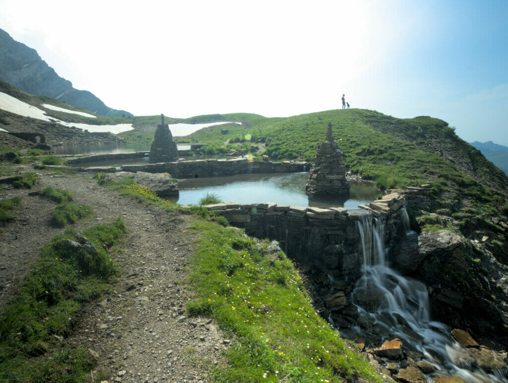
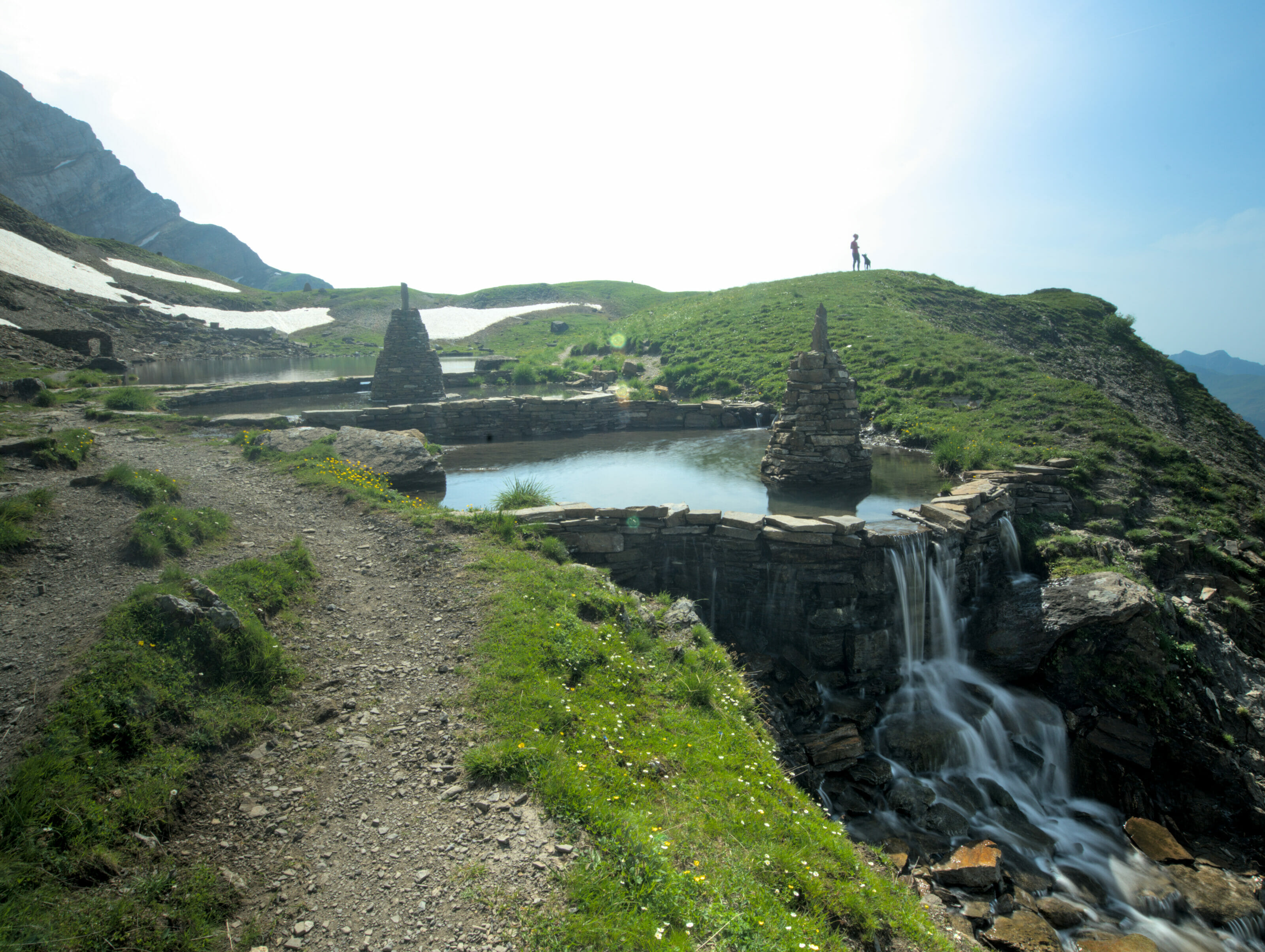
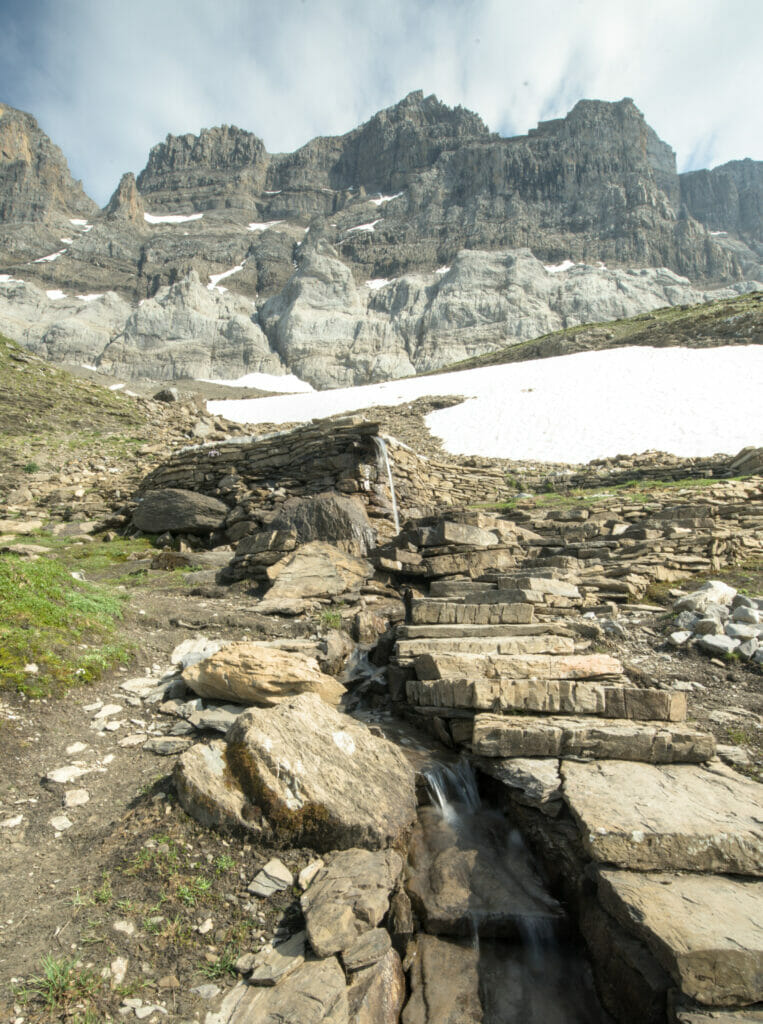
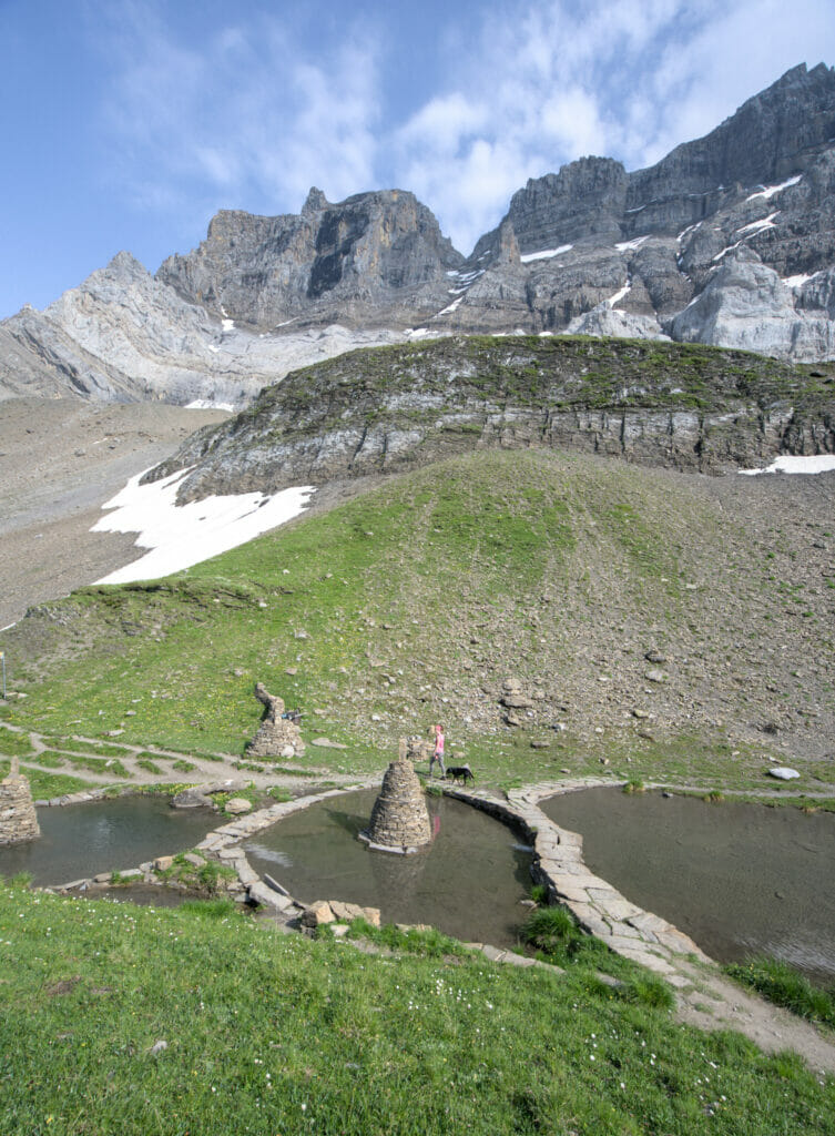
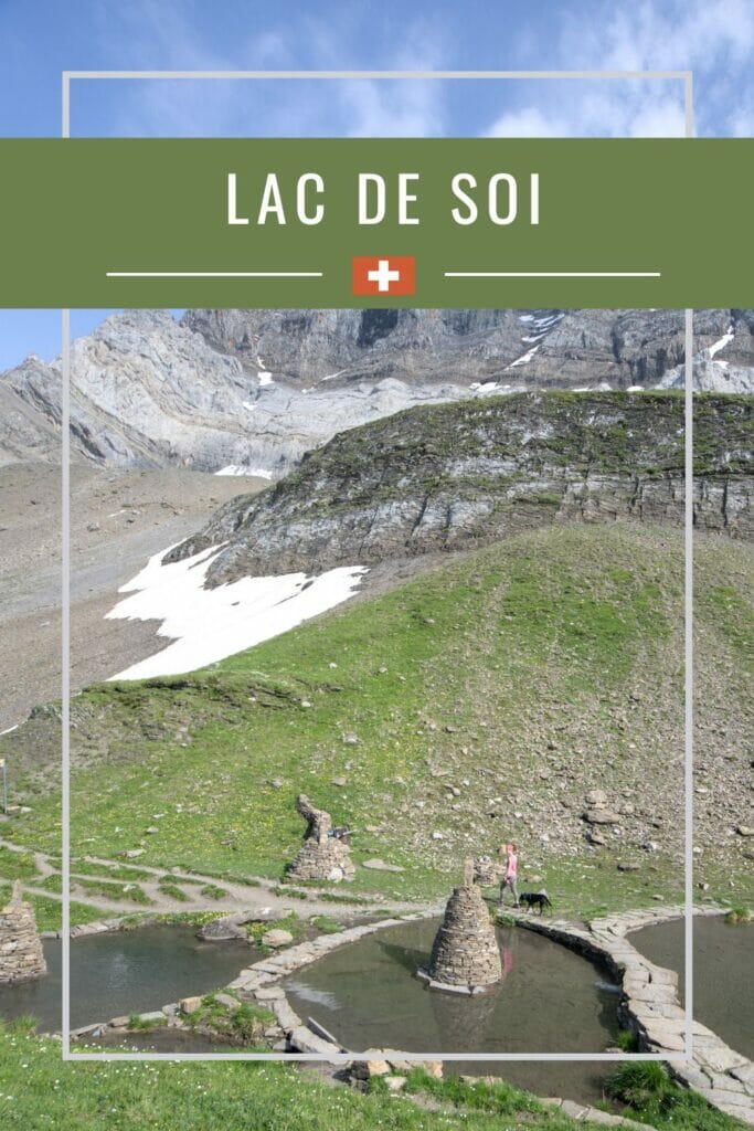
This is not often the case, but here human intervention has really contributed to making the place resolutely unique. More than 30 years ago, Jean-Marie showed this place to his brother Marcel and this first visit marked the beginning of what could be called the work of a lifetime. It was in 1989 that the two Cherix brothers built the first small cairn facing the small lake… Then, little by little, they came back and tirelessly continued to build more and more. For their work, they use only the stones that are found on the spot. In the beginning, the area around Soi Lake looked like a huge scree, but over the years it has become a natural painting.
The two brothers have handcrafted arches, pools, paths, geometric shapes and even a snake! It's the kind of place where you can come back 10 times and each time be surprised by something you didn't see the last time (because you didn't see it or simply because the two artists came back in the meantime… because yes, still today Marcel and Jean-Marie continue their incredible mission!)
If you are interested in the story of the two brothers and the evolution of dry stone construction, I recommend this very nice documentary made by the program "Passe-moi les Jumelles". The video lasts 30 minutes and presents this crazy but inspiring project (it's in French, but you can activate the subtitles).
When should you hike to lac de Soi?
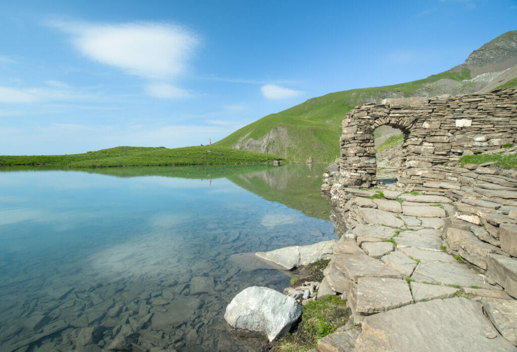
Lac de Soi is basically accessible as long as there is no more snow in late spring/early summer, until the first snowflakes cover the ground.
The access dates depend on the year, but roughly I would say that it is reasonable to plan an outing here between the end of June and the beginning of November (the period can vary from one year to another). Personally, I would recommend the summer months, because that's when there is the most sun
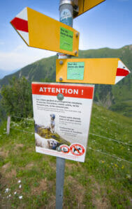
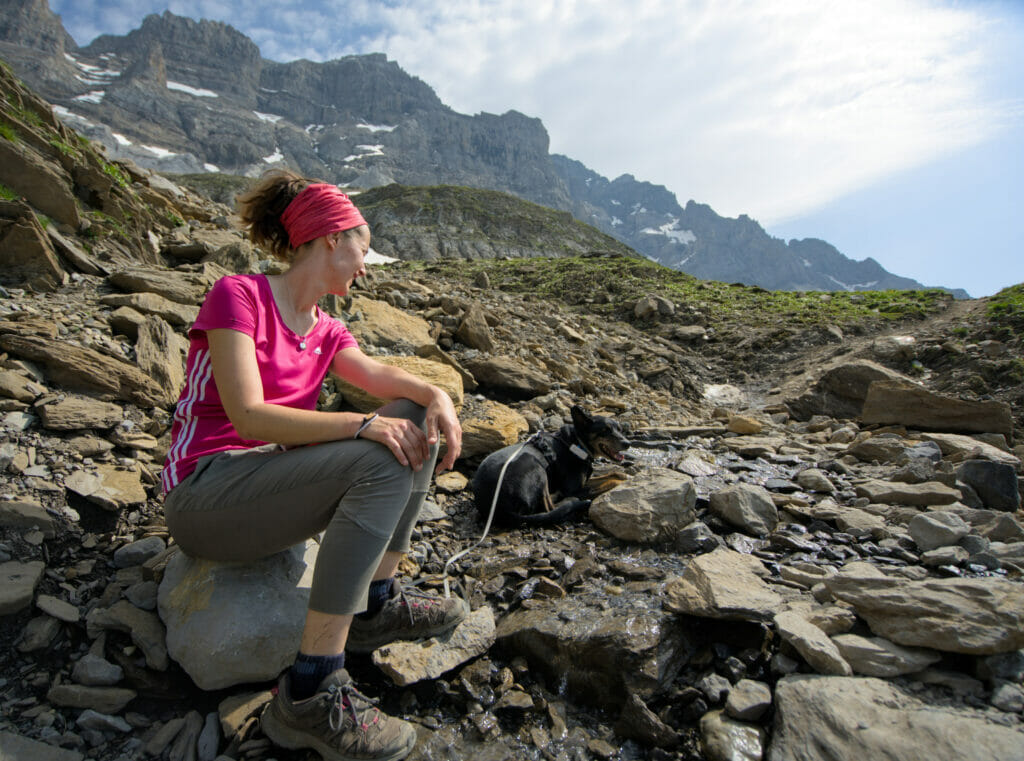
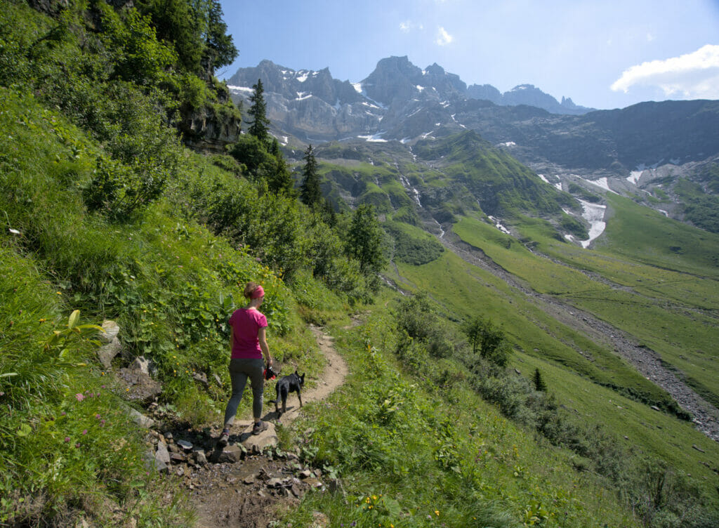
Attention dog owners: There are sheep in summer in the area. This means that during the months of June to September there are sheep but also guard dogs. It is forbidden to bring your dog (even on a leash). In case of doubt, we advise you to call the tourist office to find out if the sheep are present. We were able to go there at the beginning of the season before the arrival of the shepherd and the sheep with our dog, but really, ask before!
Departure from Plan de Soi - the shortest route
Description
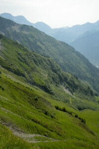
This itinerary is the most frequently used because it is the "shortest". With a total length of about 12km (round trip), it takes about 5 hours of walking to complete the loop. The departure is from Plan Soi, a small parking lot located at the edge of the Route des Rives (see the map at the end of this article).
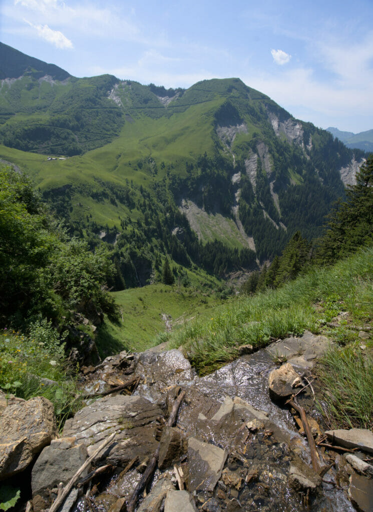
After only a few meters, we arrive at the pretty waterfall of Frassenaye (sorry, we don't have any photo of the place, you will have to believe us when we say it is nice 
At the crossroads, it is possible to go directly to the right to reach the lake, but here we advise you to take a short detour to the signal (located 250m on your left) to enjoy the beautiful view of the Dents du Midi.
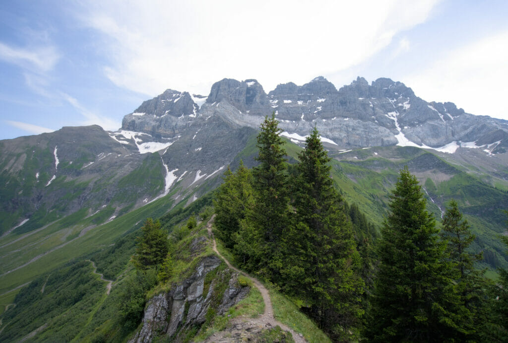
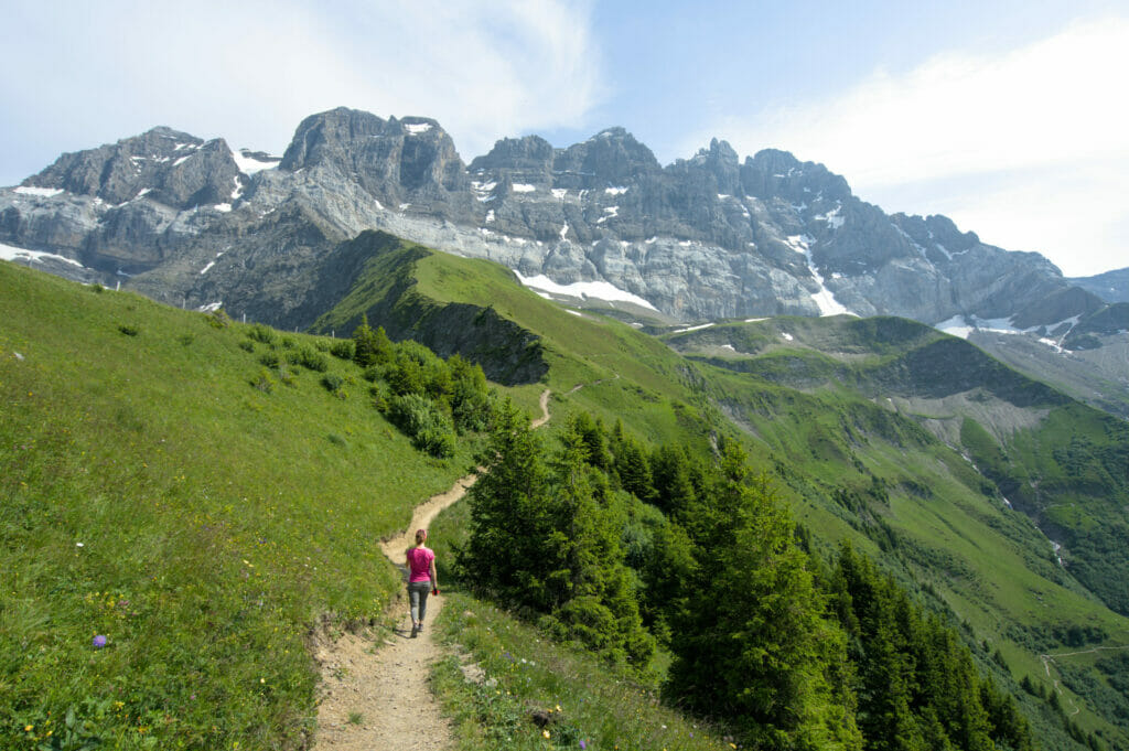
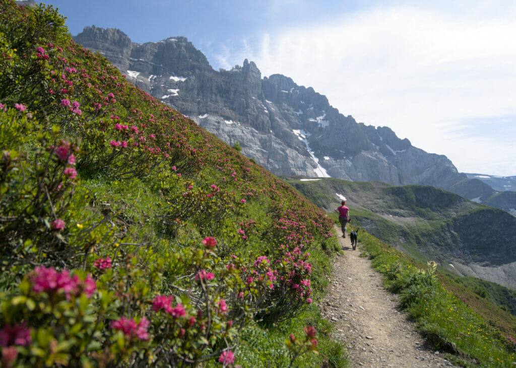
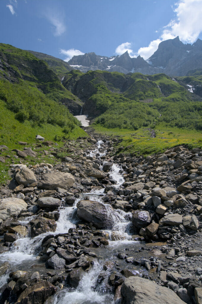
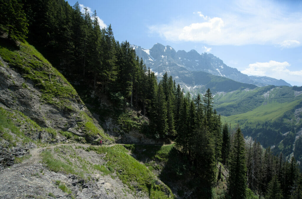
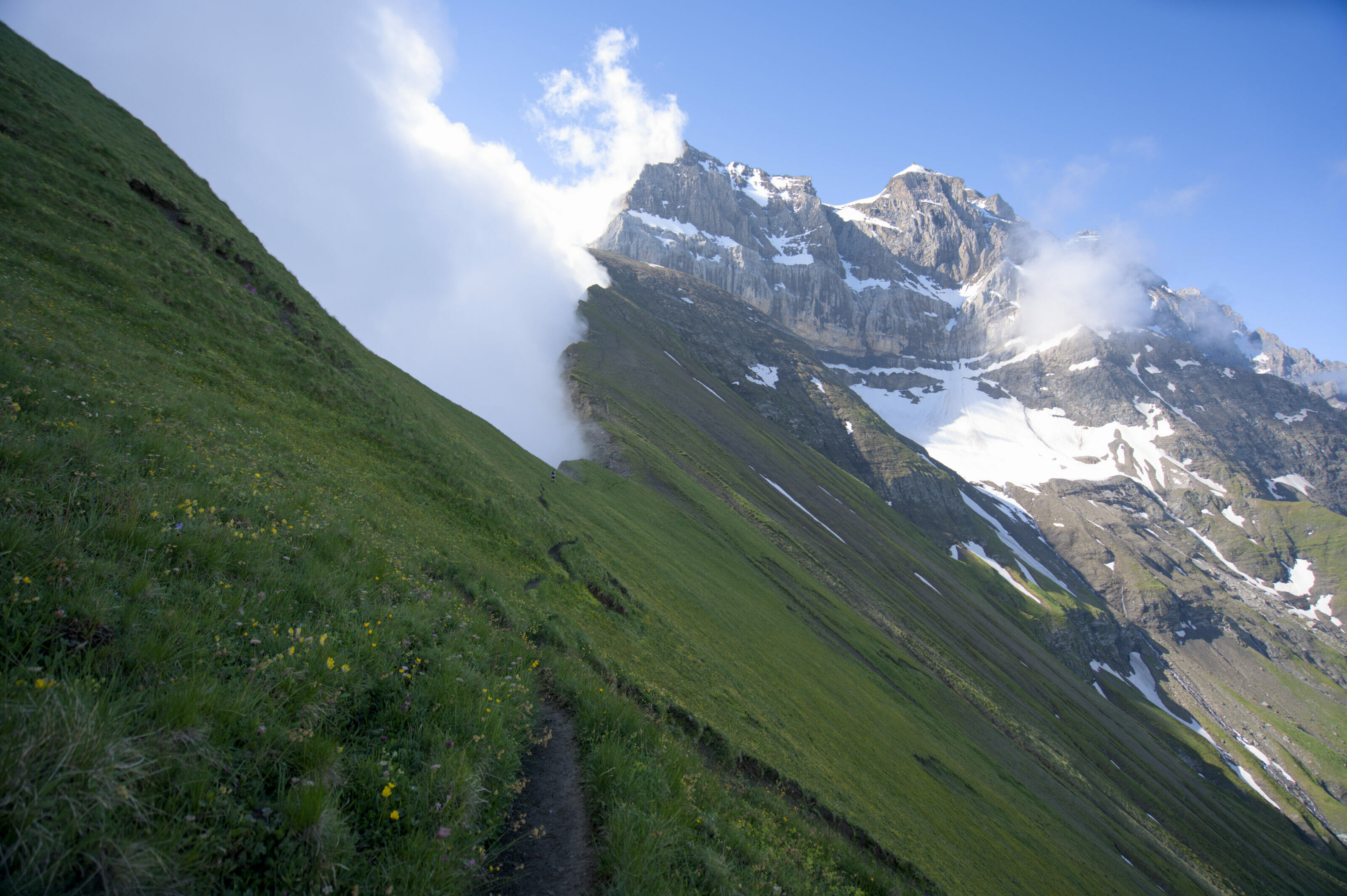
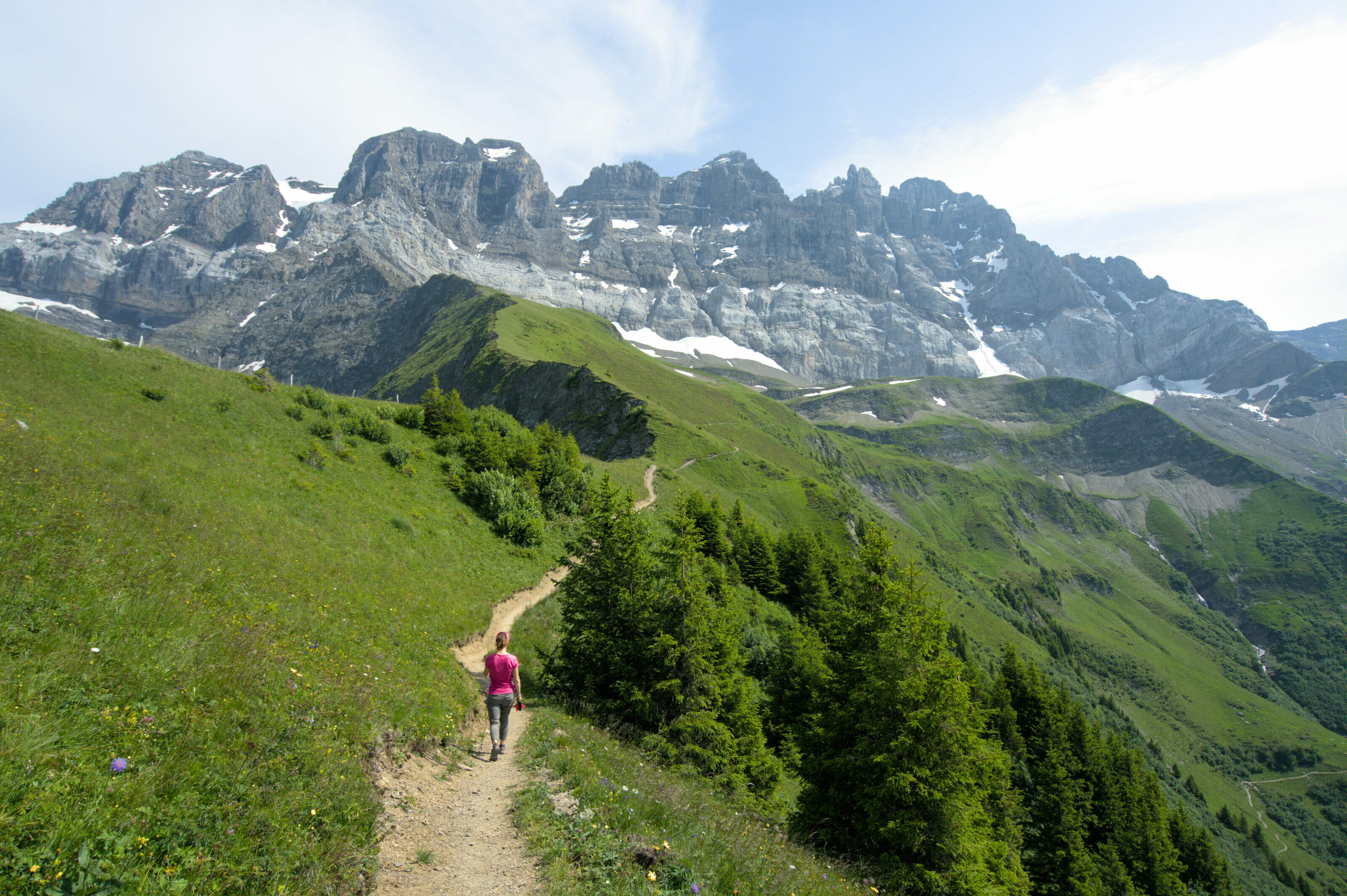
From the signal, the path is easy to follow! The slope is gentle and regular and we progress on the mountain side towards the Dents du Midi. When you reach the torrent of Frassenaye, you turn slightly to the left to start the last ascent in a more rocky part before arriving at the flat area where the lake is located.
Loop hike from the Plan de Soi
If you prefer to make a loop, it is possible to start from the plan de Soi and to go up first to the Chalin mountain pasture to join the col de Soi by the east. On the way back, follow this time the "official" path presented above. This itinerary is a little longer (17,2 km) but it allows to pass by the combe de Chalin (which is really beautiful).
The lac de Soi from Chindonne
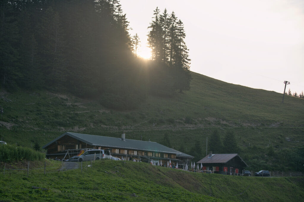
This second variant is a bit longer (20km) but it is probably the one we prefer. From the Chindonne inn, we first follow the itinerary of the Dents du Midi tour in the direction of the Soi signal.
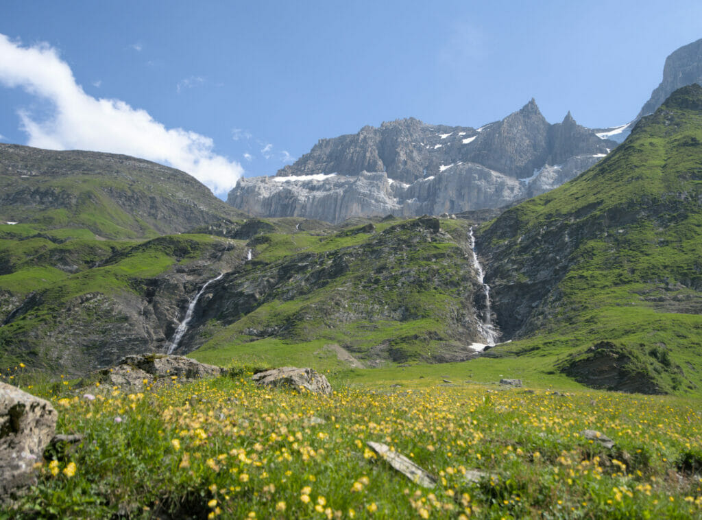
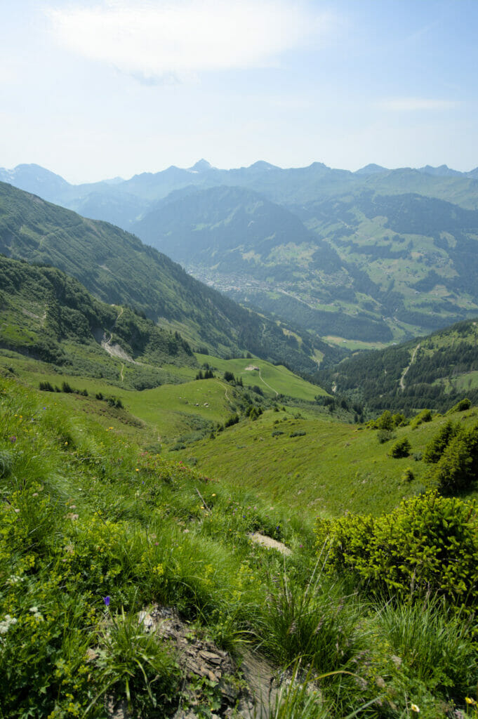
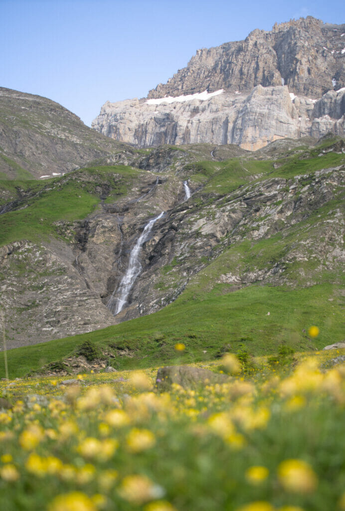
Leaving Chindonne, we first cross the mountain pastures of Valerette and Valère. From there, on a clear day, you can enjoy a superb view of Lake Geneva in the distance! Shortly after, we reach the very nice clearing of Majedo which then leads to the combe de Chalin. I personally have a special affection for this area… The combe de Chalin is like a small paradise out of time with the different small streams of the Frassenaye which seem to fall directly from the summit of the Cîme de l'Est and the Forteresse, two of the seven "Dents du Midi".
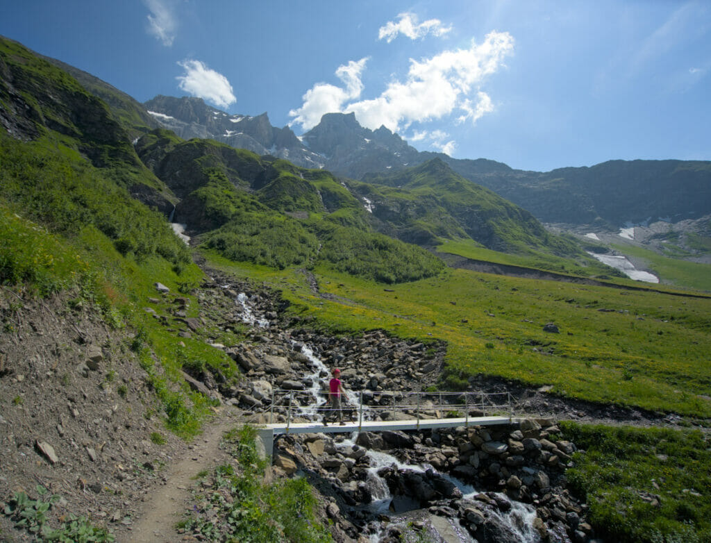
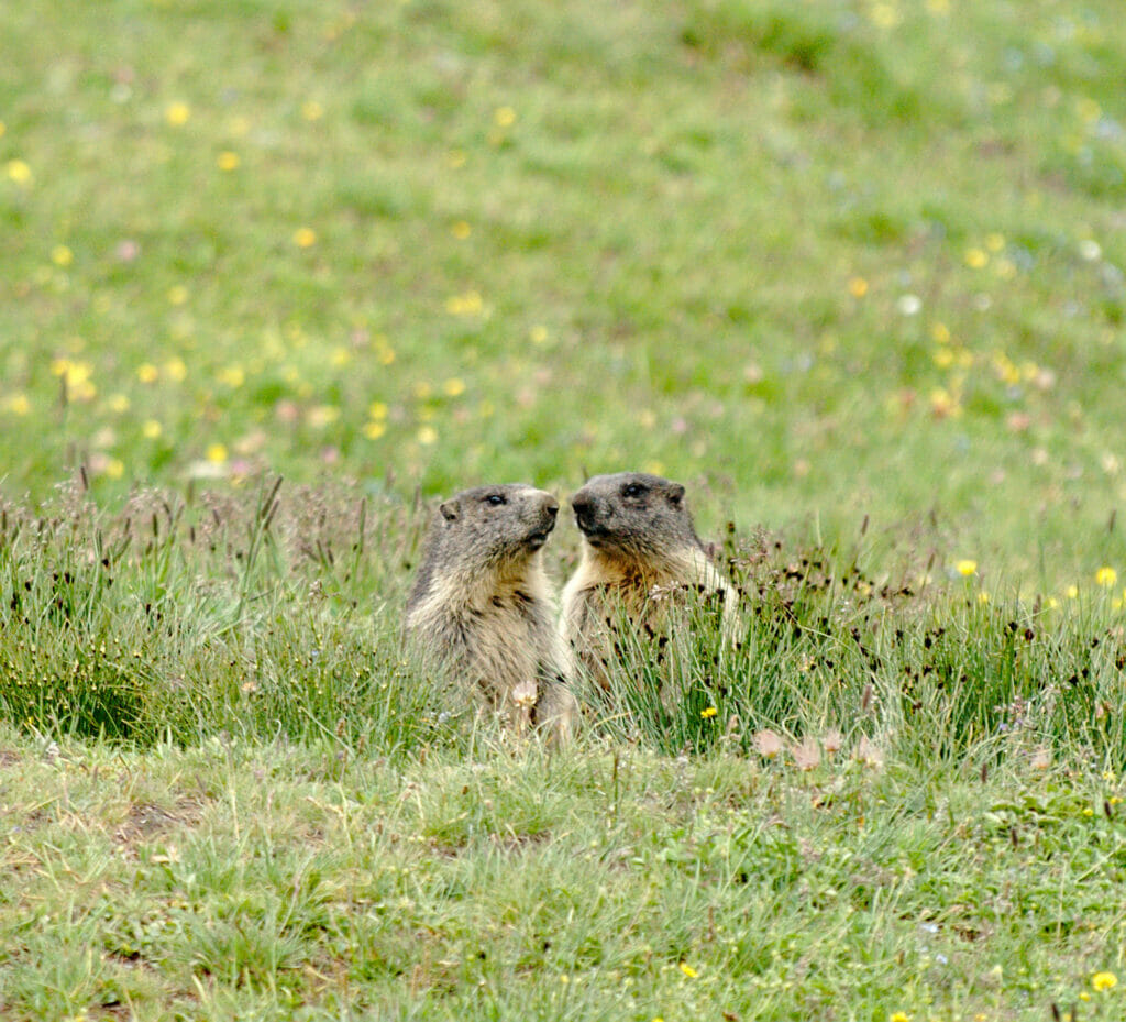
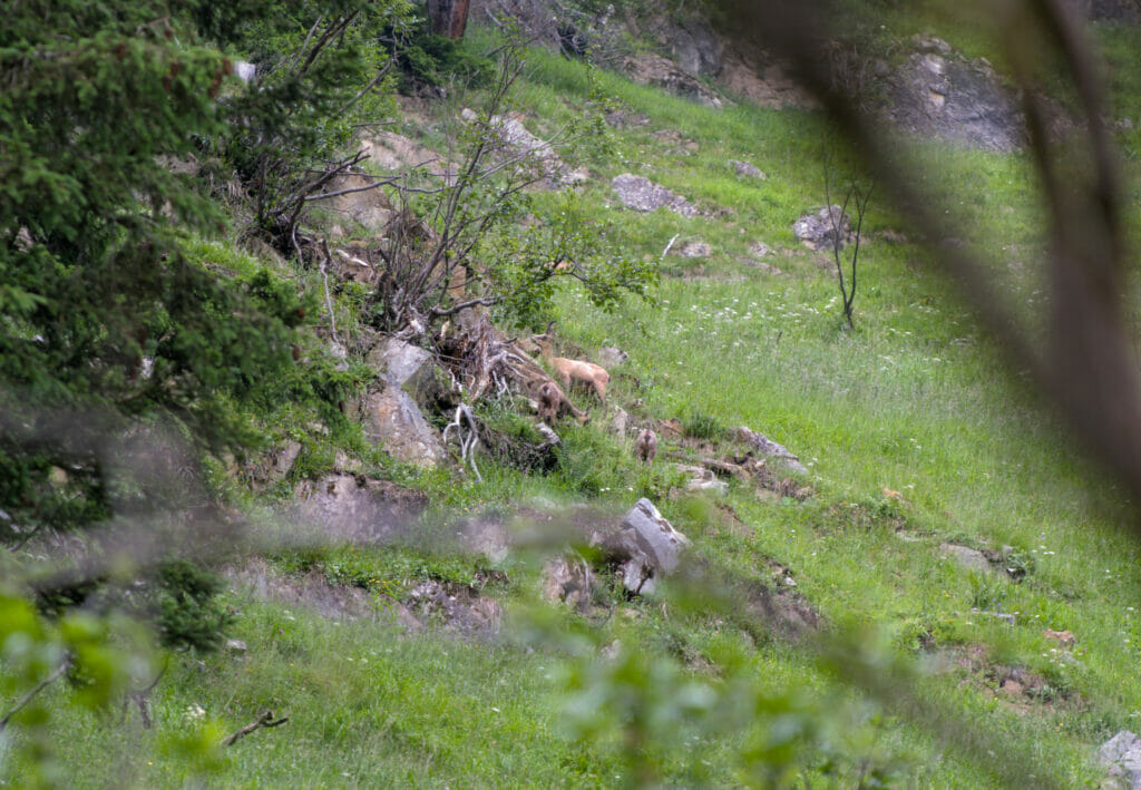
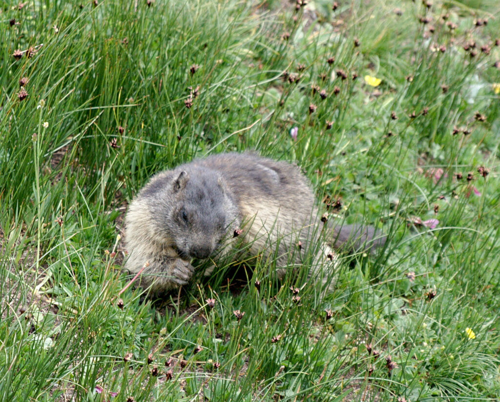
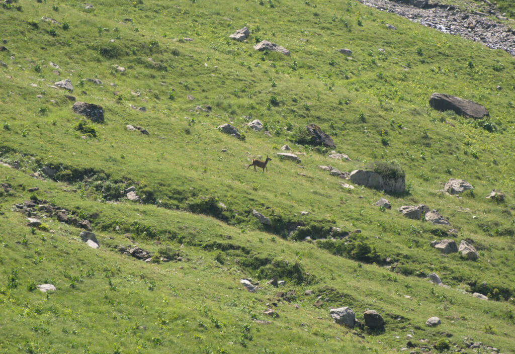
The area is also an excellent spot to stop and sit for a few moments in silence… The combe de Chalin is a home for marmots, hinds, chamois and many other animals. After passing the farm, the path climbs up the mountain side to reach the signal de Soi.

From this point, the itinerary follows the same route as the one described above. It is necessary to count approximately 6 hours for the round trip (walking time excluding breaks).
The return journey is done by the same route. At the arrival, you can enjoy the superb terrace of Chindonne for a well-deserved drink and, why not, taste their famous burger! Having tested this itinerary followed by the "menu", we can guarantee you that it is an excellent combo haha
Hiking map to lac de Soi
You can find our two suggested routes on the map below. If you want to take the track with you (on your smartphone or via a connected watch) you can download our track directly on AllTrails. To download the tracks you simply need to create an account (it's free). To learn more about AllTrails and our daily use of the app, we invite you to read our blog post.
Add the Lac de Soi alternative to the Dents du Midi tour
Note that if you plan to do the tour of the Dents du Midi, the lac de Soi Soi is n alternative route that is really nice. To go there, you should plan about 2h-2h30 extra during the Chindonne - Anthème stage (the official walking times are a bit lower, but it is better to plan a bit longer to have time to enjoy the place).
Without the alternative, the Chindonne-Anthème stage takes about 3h30-4h (depending on the direction of the walk). If you are interested in the Dents du Midi trek, we recommend you to read our dedicated article and if you are in the planning stage of the tour, then have a look at our very complete ebook in which we detail all the stages as well as the alternative routes surch as lac de Soi and propose suggestions of routes according to your fitness lever (on sale for 10 CHF).
That's it for today. We hope to have made you discover a new area of Switzerland to add to your list of hikes to do in Valais 
See you soon!
This article contains affiliate links to AllTrails. What does this mean? It means that if you decide to use AllTrails, we will earn a small commission. Want to upgrade to AllTrails+? By going through our link you'll get a 30% discount on your annual subscription (if you decide to take AllTrails+, it's still free otherwise) and you'll be helping us to create free, independent and regularly updated content. Thank you for your support.
Pin it



Join the discussion