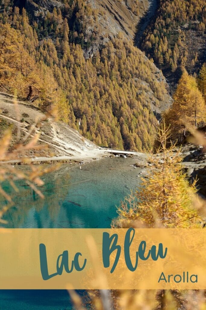
Having settled in the magnificent Val d'Hérens a few months ago, we're taking great pleasure in exploring more and more of the magnificent landscapes that surround us. The Lac Bleu d'Arolla is probably the best-known and most popular spot in the valley.
But did you know that there are several hiking routes to get there?
Everywhere you look, you see a description of the most direct route from "la Gouille", but in reality there are many more variations. We're slowly but surely getting the hang of it, and believe me, if you want to come and discover this magnificent place, it may be worth challenging your legs a little more 😉 Are you ready?
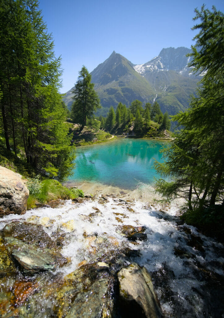
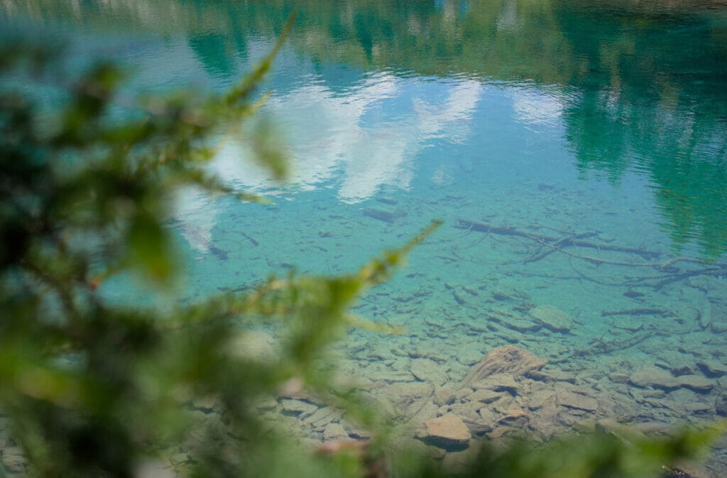
Note that the photos in this article are a bit jumbled between seasons… Yes, we often go up there, so we have plenty of images at different times of the year. But you won't have too much trouble recognizing the seasons 😉
- Lac Bleu: where is it?
- The classic route: Lac Bleu from the Gouille parking lot
- The "less crowded" option from Pramousse
- The panoramic route: a loop starting from Arolla
- The grand tour: from Arolla to the Aiguilles rouges hut and back via Lac Bleu
- The traverse from Arolla to Les Haudères (via the Alpage de l'Etoile and Lac Bleu)
- When to come to Lac Bleu?
- Let's protect this little corner of paradise
Lac Bleu: where is it?
First things first… Where is the lac bleu? Yes, the term "blue lake" is quite generic, and there are many different ones that share this same nickname. In fact, it's not uncommon for there to be confusion with the blue lake at Kandersteg (Blausee), which we mentioned in this article, or the blue lake near Annecy.
But no, today we're talking about the Lac Bleu in the commune of Evolène, in the Val d'Hérens.
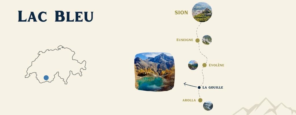
There is no road leading to the lake. To see it, you'll have to do some walking. In this article, we suggest a number of different hikes to admire this little corner of paradise. Our suggested hikes range from 40 minutes to just over 5 hours (with plenty of options in between) 😉
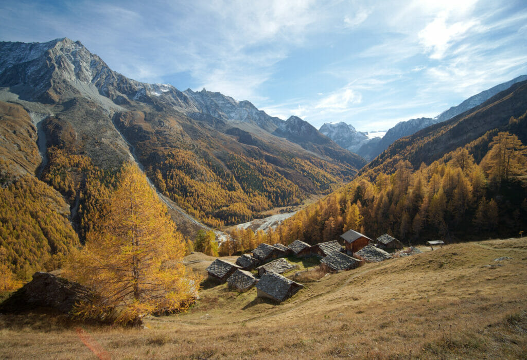
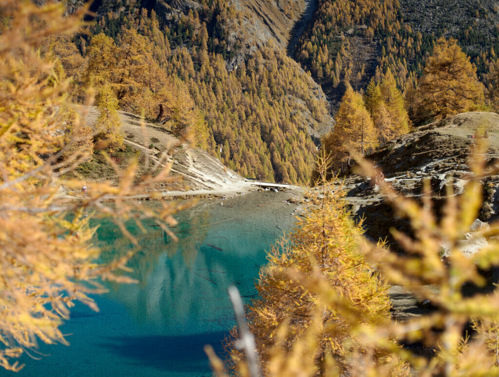
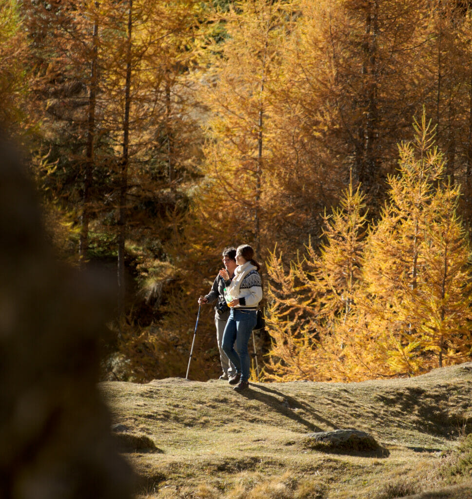
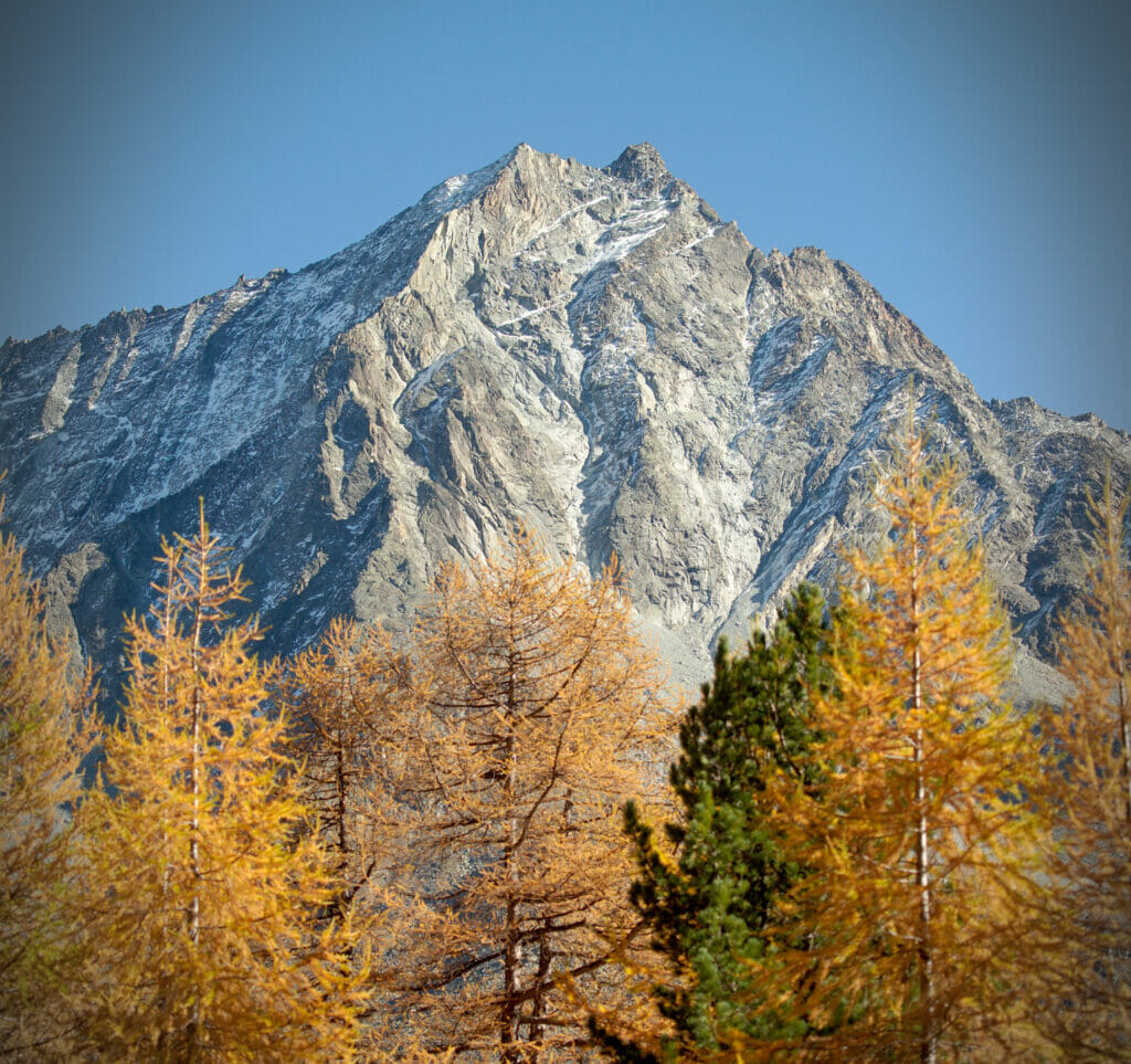
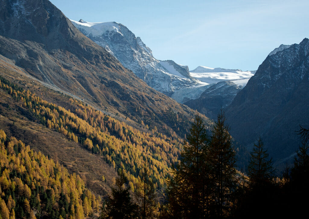
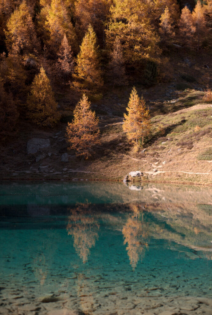
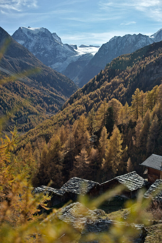
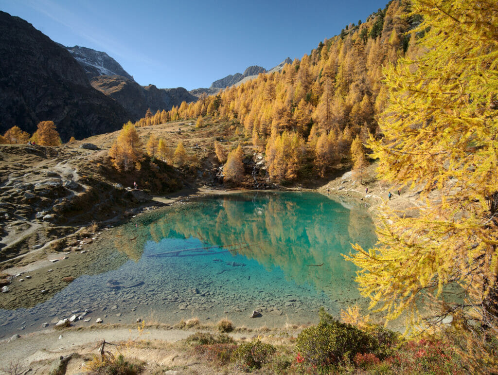
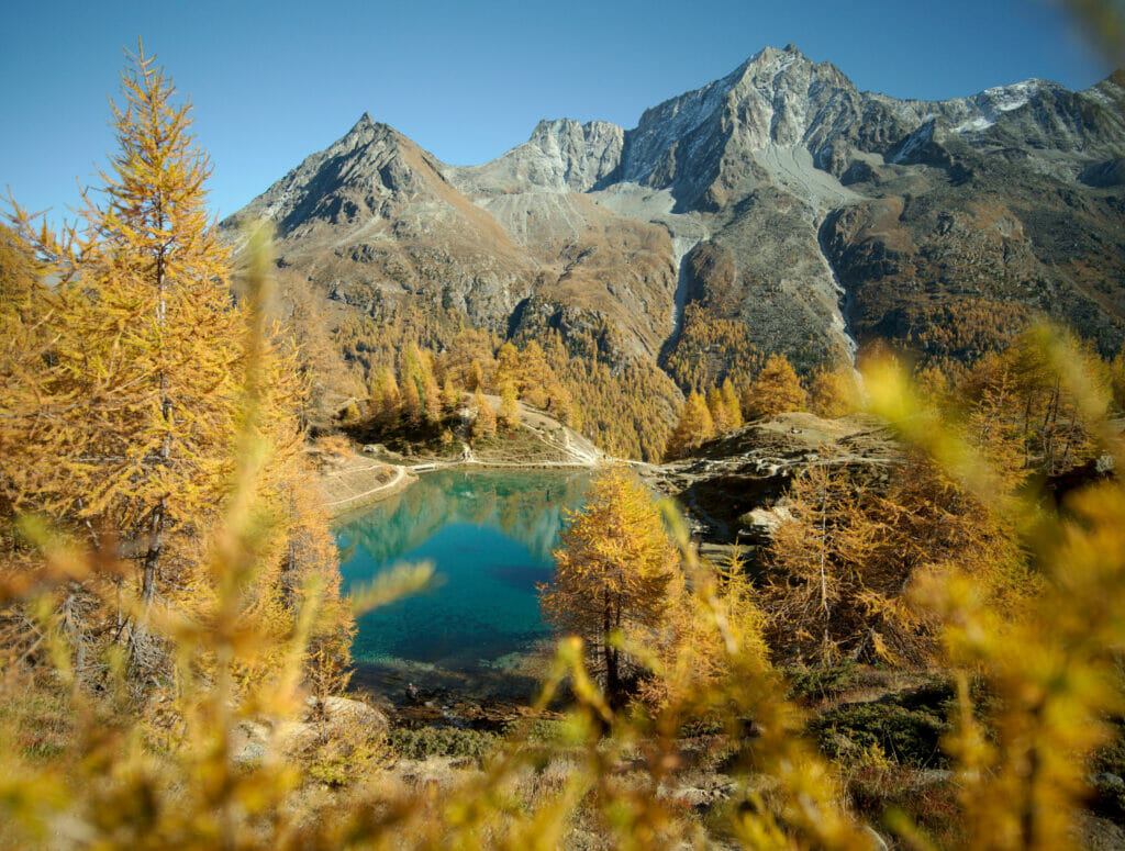
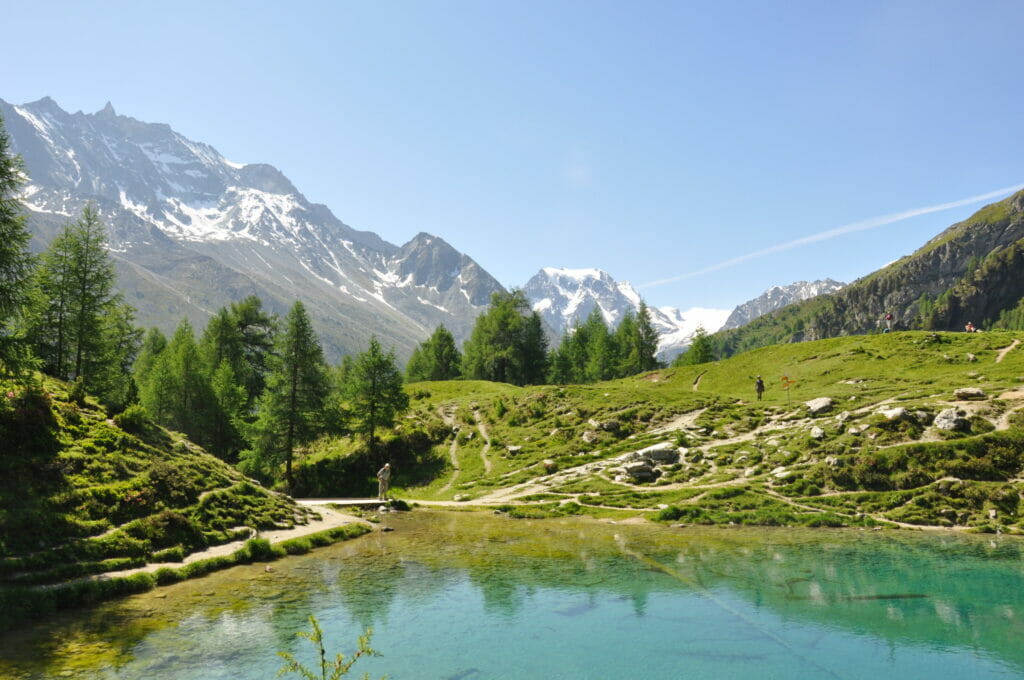
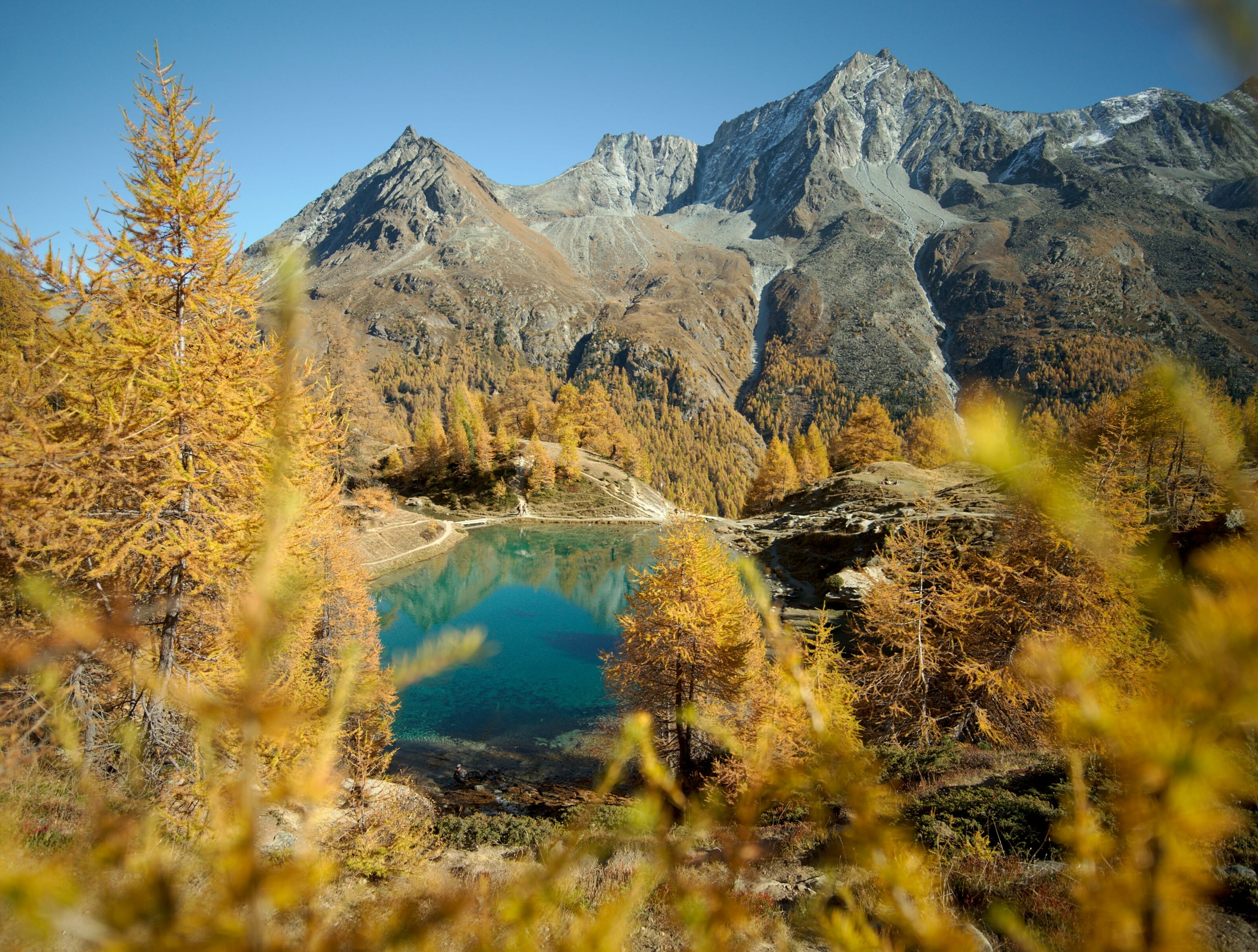
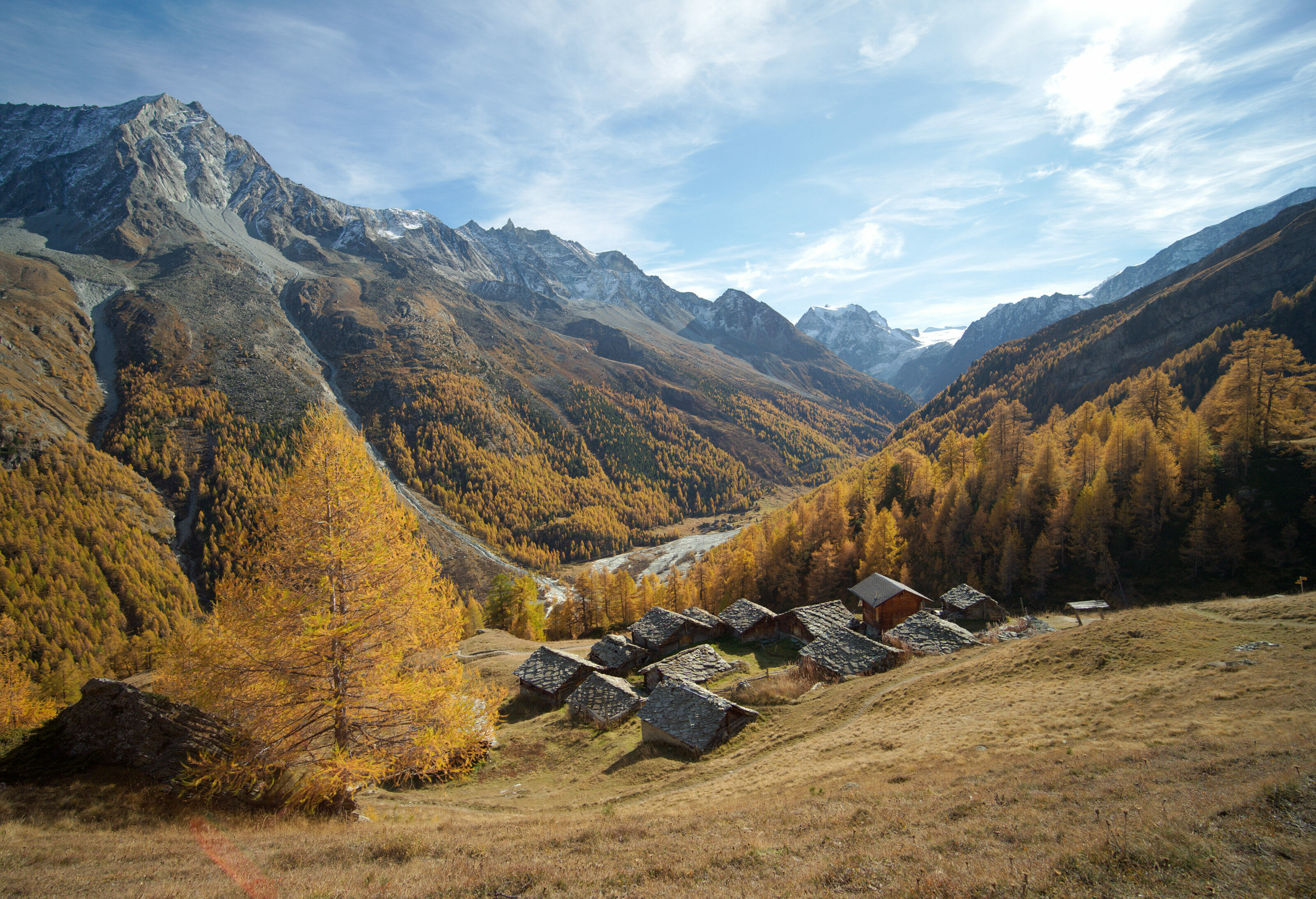
A few photos of the Lac Bleu and the valley in autumn to whet your appetite for further reading 😉
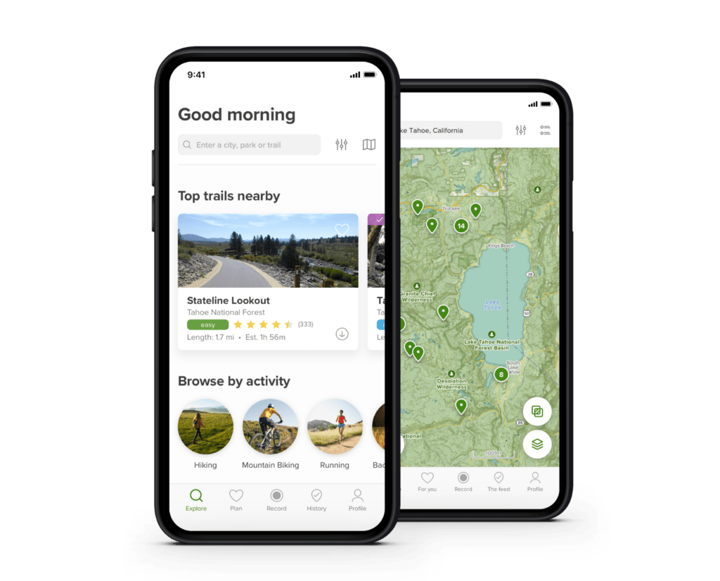
In this article, you'll find several hiking itineraries. At the end of each hike, a button allows you to download the trail from AllTrails (the application we've been using for our daily hikes for over 8 years).
To download our tracks, simply create a free account. This will enable you to download our routes in over 30 formats (GPX, KML, Garmin, etc). To find out more about AllTrails, please read our article.
Our links to AllTrails are so-called affiliate links, which means that if you decide to opt for the Premium version (not required to download the tracks), we earn a small commission. This helps us to continue offering you free, independent and ad-free content.
The classic route: Lac Bleu from the Gouille parking lot
Description of the classic route
Let's start at the beginning: the "classic" route up to Lac Bleu. The hike starts from a place called La Gouille. Parking spaces are available by the roadside (beware, they fill up fast in summer!).
From "La Gouille", it takes around 40 minutes to reach the lake. The trail is perfectly signposted, and since it's widely used, you won't have any trouble finding your way around. 🙂
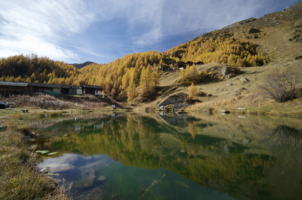
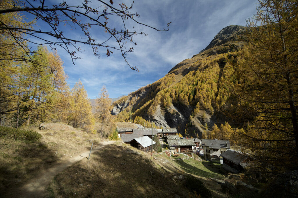
From the parking lot (and the gouille), start by climbing up through the small chalets and then follow the path that climbs quite steeply through the forest. The path is really pleasant, especially as you're in the shade for most of the climb.
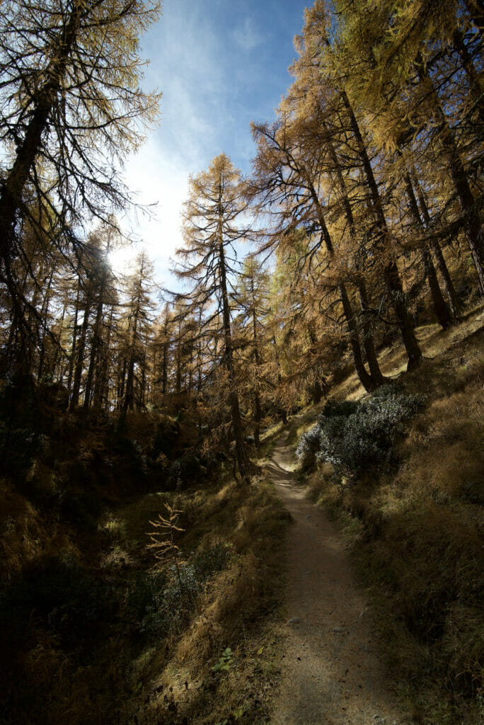
Once you're out of the forest, it's just one more little effort and you can already see the little chalets just below the blue lake (and the little refreshment bar open in summer!).
This route is usually the one we take when we're with friends who have small children. From the age of 3-4, the climb is manageable (at least for our friends' little ones, sometimes with a little help from the rucksack) 😉
For the return journey, you have a choice:
- Take the same route as the outward journey (allow 30 minutes for the descent).
- Make a small loop via the Ouartsé chalets. Allow 45 minutes for this alternative route (see map below). The advantage of this route is that it's much less busy and offers different panoramas than the outward route 😉
Map and route information for La Gouille - Lac Bleu
Information on this route:
- Distance La Gouille - Lac Bleu: 1,3 km (one way)
- Distance of the variant via the Ouarsté mayens: 2.4 km (one-way)
- Elevation change: 260m
- Walking time: approx. 45 minutes up and 30 to 45 minutes down, depending on the variant.
Hiking map :
During the summer months, the Gouille parking lot fills up very quickly! If you get to the top and it's full, you always have the option of continuing on to Pramousse (see below) or even Arolla. Alternatively, you can leave your car in the large parking lot at Les Haudères and take the post bus up!
If a car is your best option, we advise you to avoid weekends and/or arrive early. The parking lot is likely to be fully booked from 10am/11am during school vacations.
The "less crowded" option from Pramousse
This variant is generally chosen by two types of people:
- Those who know the area and prefer a less crowded trail
- Those who arrive at the Gouille parking lot and find themselves without a parking option decide to continue along the road until they find a spot 😉
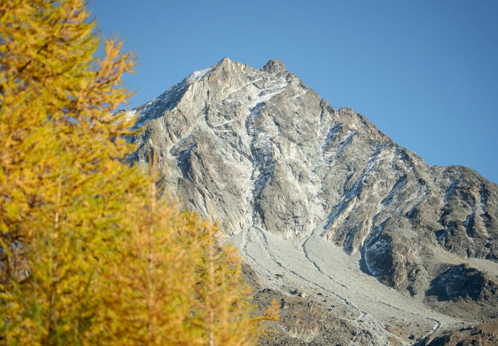
On a more serious note, parking at Pramousse is a very good alternative. The walking time is a little longer than from La Gouille (around 1h), but the slope is also a little gentler. Going up this way also allows you to make a loop. You could, for example, climb up from Pramousse and then take the "classic" route back down. Once at La Gouille, simply follow the hiking trail along the Borgne to return to your starting point.
Map and route info Pramousse - Lac Bleu
- Distance : 2,3 km (one way).
- Return by the same route or via La Gouille (then follow the river) (3.3 km for this variant)
- Elevation change: about 300m
- THiking time: about 1h-1h15 (one way)
The panoramic route: a loop starting from Arolla
Lac Bleu is a popular destination for day trips, and it's easy to see why. Having lived here, I can assure you that the valley is well worth a visit, and if I can give you one piece of advice, it's to come for a weekend and make the most of the magnificent setting of the Val d'Hérens.
There are lots of hotels in the valley, and lots of good addresses! But if you want to see the Blue Lake, there are 2 that we particularly like: La pension du lac bleu et l'hôtel Kurhaus à Arolla.
They're very different in style, but both are definitely worth it! As for the pension, you'll find simple, inexpensive rooms, but there's also the option of sleeping in a dormitory for those who want to cut the budget a little.
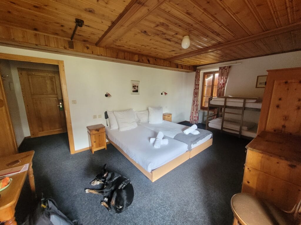
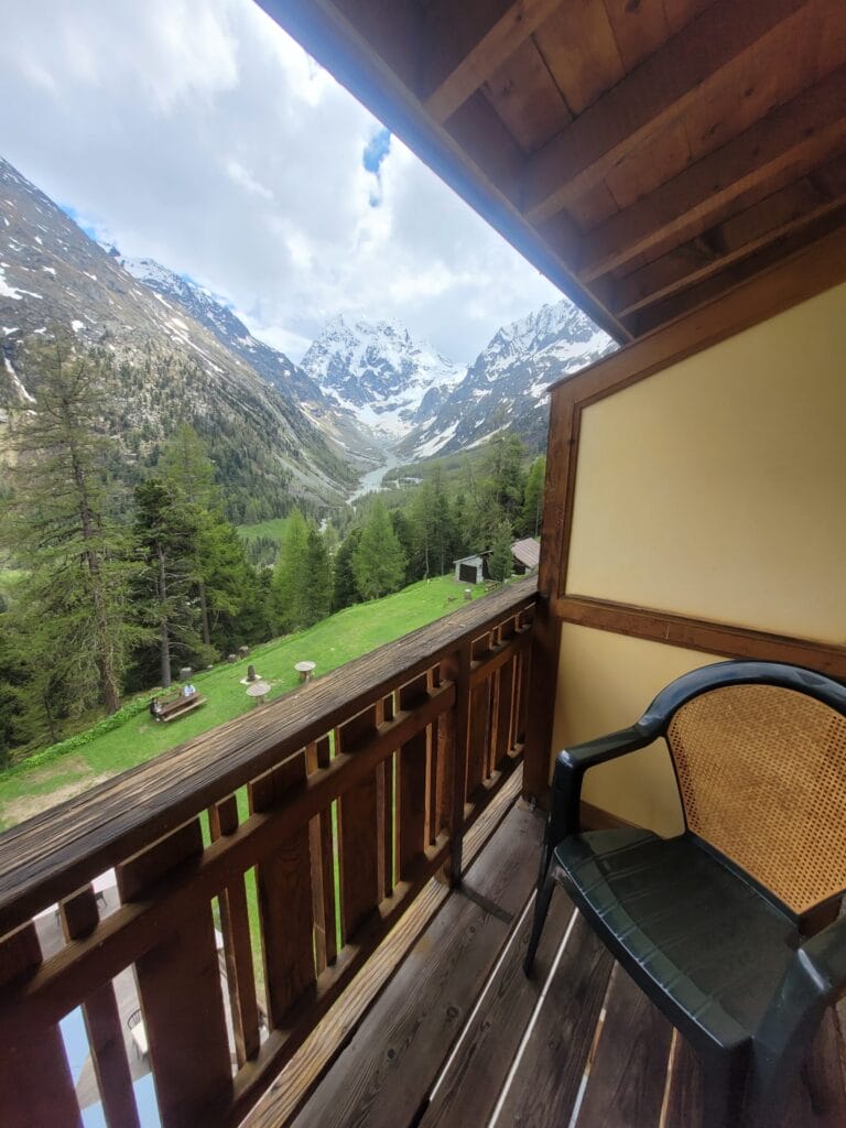
At the Kurhaus, it's for the exceptional building and its breathtaking location that we come! We've been lucky enough to stay here twice, and we highly recommend this hotel! It's majestic and impressive, yet retains a family-friendly charm (and the view from the rooms with balconies is simply incredible!!!). The rooms are simple and comfortable, and the staff are top-notch (and dog-friendly 😉 )!
Description of the panoramic route
Arghhh I think this is my favorite route to Lac Bleu! Or let's say it's the one I always suggest first to our coliving guests. Strangely enough, it's also the route where we took the fewest photos… It seems that we're more often with our eyes up in the air admiring the view than behind the camera 😉 But we promise to update the article with new photos the next time we're there!
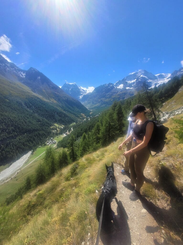
From Arolla, start by reaching the Hotel du Pigne. Just before the hotel, follow the discrete path up behind a building on your left. The first part of the walk is the steepest (I promise it's very short!). Then it's a superb balcony path alternating between forest and small clearings from which you can enjoy breathtaking views. Don't forget to turn around from time to time to admire the glaciers behind you! 🙂
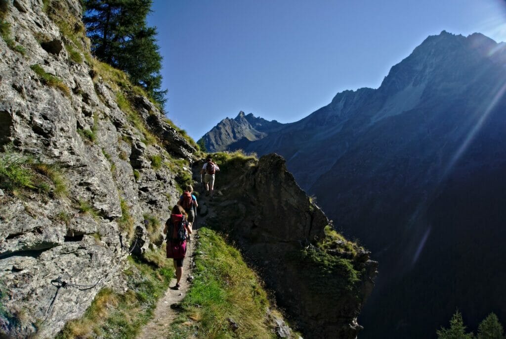
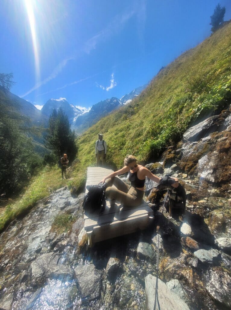
The trail is equipped with chains in 2 places, but it's still very accessible. If you're very prone to vertigo, there's always the alternative of going via Pramousse.
But to be honest, this route is very easy. I'm not personally comfortable with heights, but this route has never given me any problems.
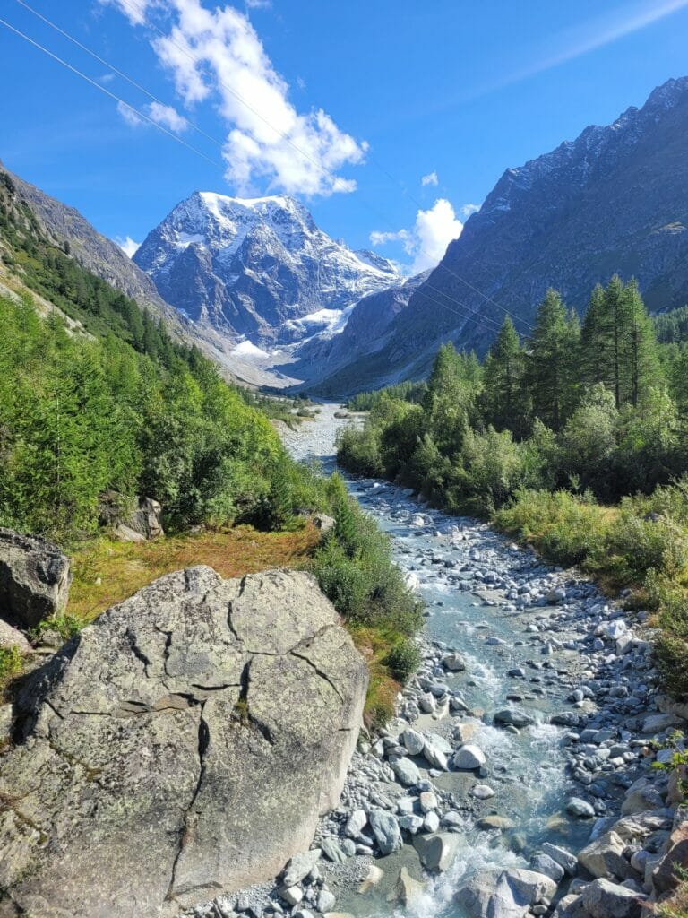
Once you're at the lake, I recommend you head down towards La Gouille or Pramousse, then take the pretty path along the Borgne river back to the Arolla campsite and village center. It's a radical change of scenery, and it's great fun to walk along the water like this.
Shortly before Arolla, you'll pass by the Hotel-Restaurant de la Tza, a lovely terrace that clearly invites you to stop for a Rivella (or a small beer) 😉
From the hotel it's possible to go straight back up to the village center, but I'd advise you to continue on to the campsite and return via Les Follièches to enjoy the spectacular glacier views a little longer!
Map and route information Arolla - Lac Bleu
- Distance : about 10km
- Elevation change : about 650m (positiv and négativ)
- Walking time: allow between 3h30 and 4h walking time (excluding breaks).
The grand tour: from Arolla to the Aiguilles rouges hut and back via Lac Bleu
Description of the grand tour
A second itinerary from Arolla, but this one is for those who want their legs to sting a little more 😉 This itinerary will take you up to the top of the Aiguilles Rouges hut, with its breathtaking panorama of the Alps.
The ascent to the hut from Arolla is roughly divided into 2 stages. The first part is on a grassy path to the Remointse de Pra Gra. Throughout the climb, you'll enjoy magnificent panoramic views of the Pigne d'Arolla, Mont Collon and the glaciers.
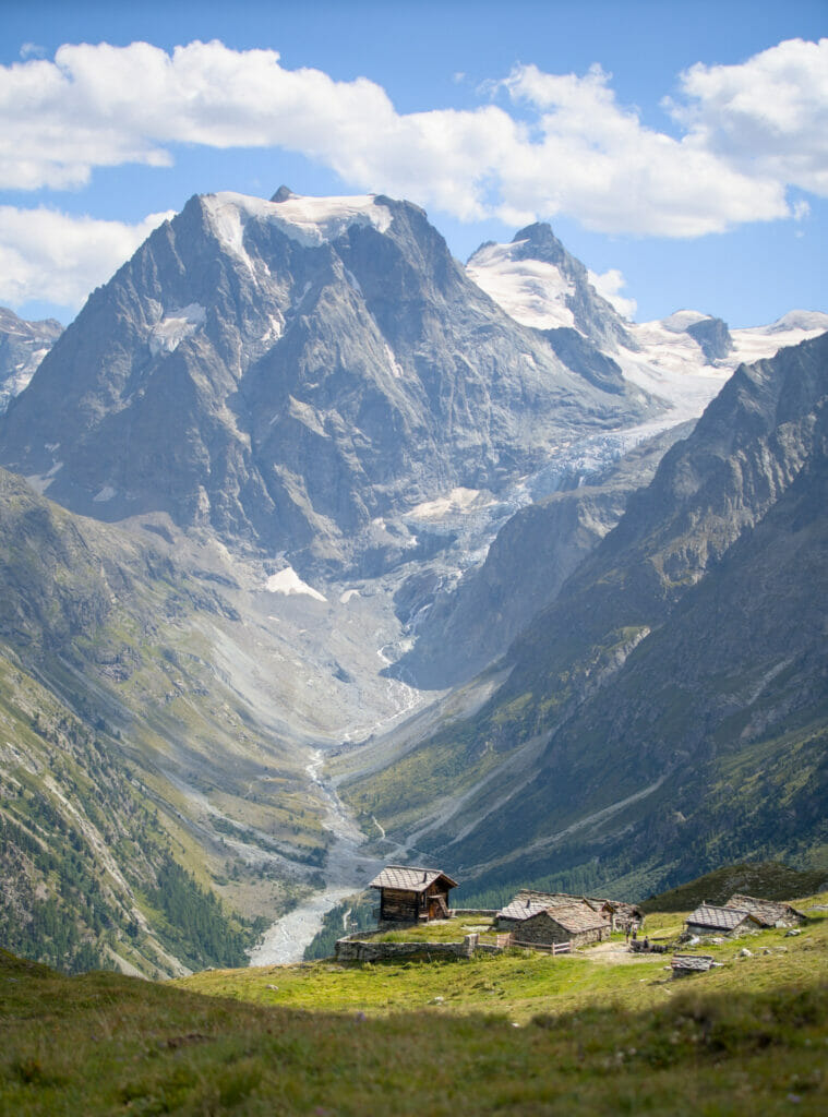
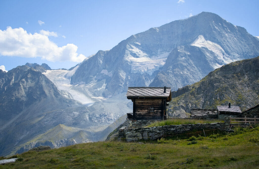
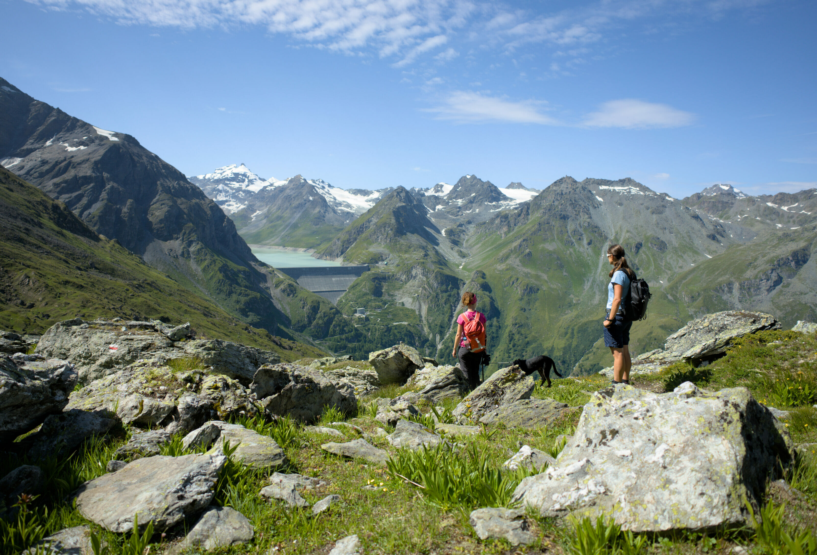
From the small chalets of the Remointse de Pra Gra, things become more mineral and you progress along a path overlooking the valley (you can even see the lac bleu below). From Arolla, it's about 2h30 walk to the hut, the ideal place for a short break or a meal prepared by the hut keepers. 🙂
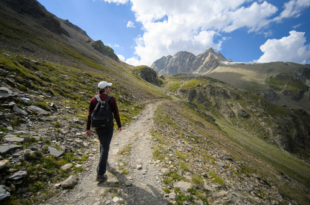
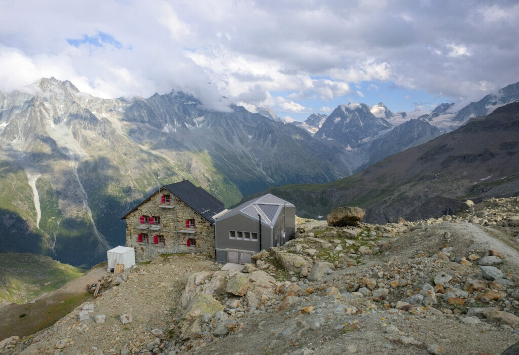
Then, from the hut, the trail descends through flower-filled meadows to the Lac Bleu. The descent is not particularly difficult.
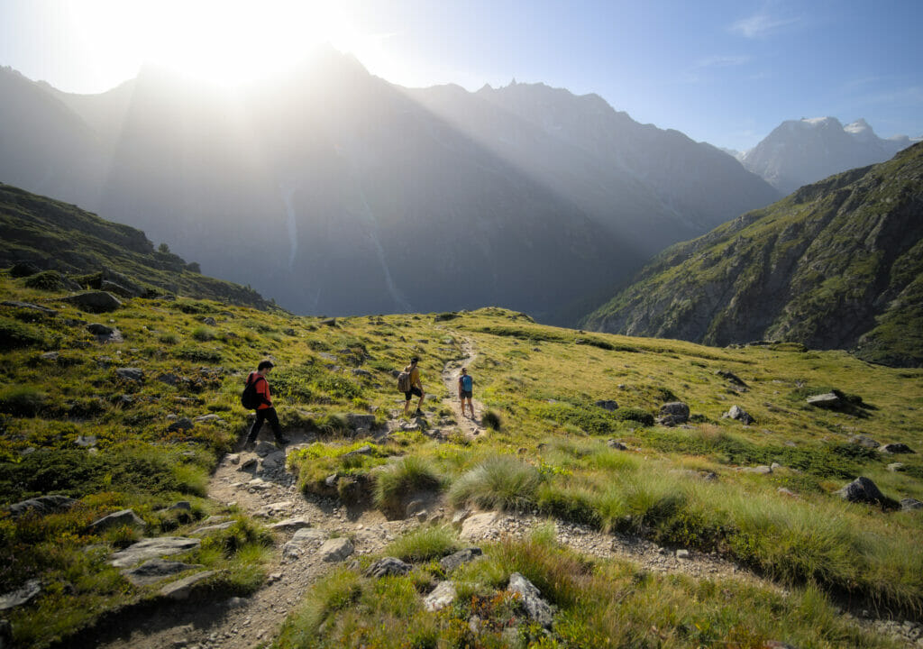
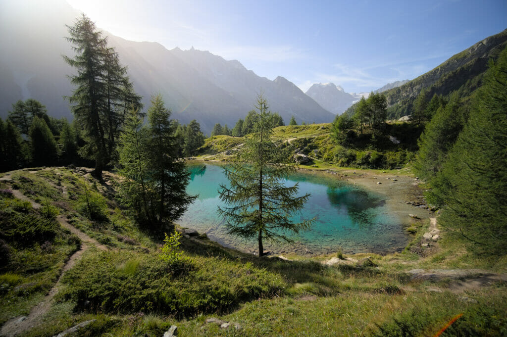
Once at the lake, the choice is yours:
- Return to Arolla following the high path
- Descend to La Gouille and follow the path along the Borgne to Arolla.
- Simply get down to La Gouille and take a bus from there.
Details of the first two options are given above.
Map and route description Arolla - cabane des Aiguilles rouges - Lac Bleu
- Distance: 11,3 km (from Arolla to la Gouille)
- Possibility of extending the walk by returning to Arolla, either by the upper path or by following the Borgne (add approx. 2h walking time).
- Elevation change: about 850m + and 1000m -
- walking time: approx. 4h30-5h
The traverse from Arolla to Les Haudères (via the Alpage de l'Etoile and Lac Bleu)
Description of the traverse
We end this list of hiking itineraries towards Lac Bleu with an option that's a tad more sporty, but also VERY scenic. The idea here is not to do a loop, but a traverse. It's ideal for those who want to come to Val d'Hérens by public transport!
If you're coming by car, my advice would be to park in the large parking lot just outside the village of Les Haudères and take the bus to Arolla first. This way, you can simply walk back to your car and don't have to worry about the bus timetable.
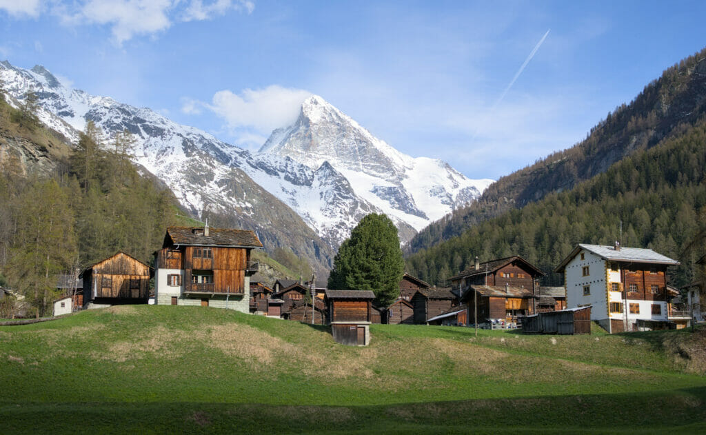
The first part of the hike (to Lac Bleu) follows exactly the same route as the Arolla panoramic loop (see above).
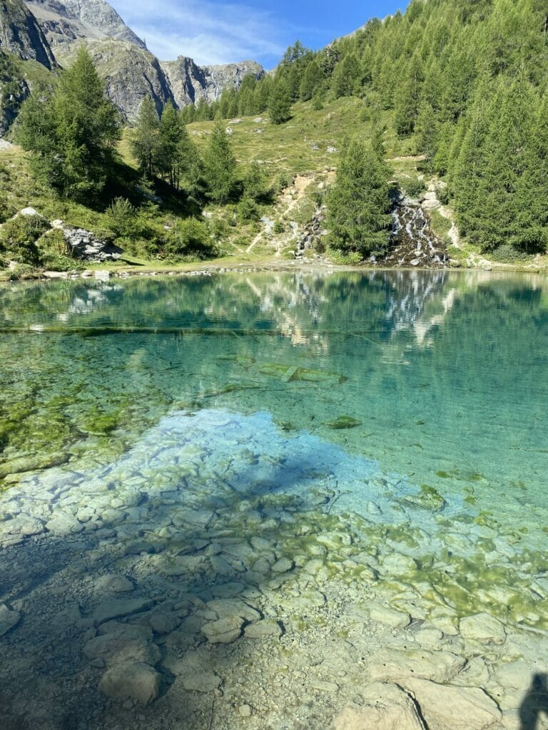
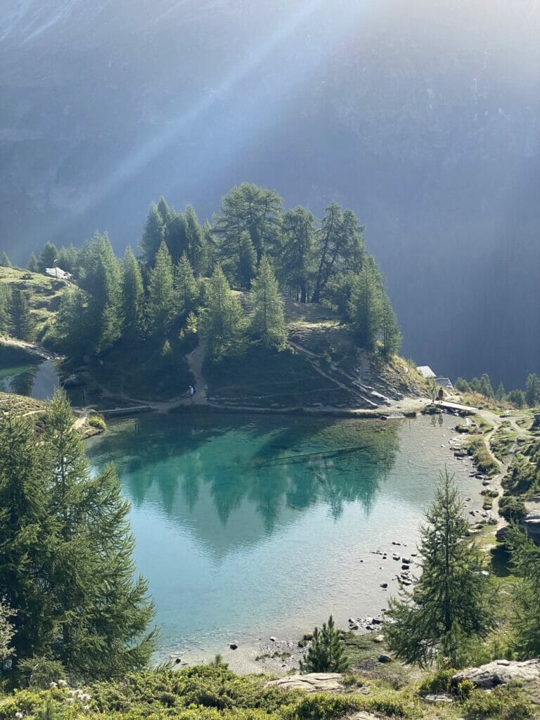
From the lake, instead of descending, continue along path N°6 (Chemin des Cols Alpins) towards the magnificent Etoile alpine pasture. Personally, I really enjoy this part! There's an incredible view of the surrounding peaks almost the whole way, and the path is much less crowded than the one that climbs straight up to Lac Bleu!
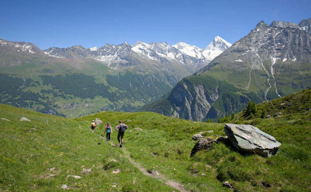
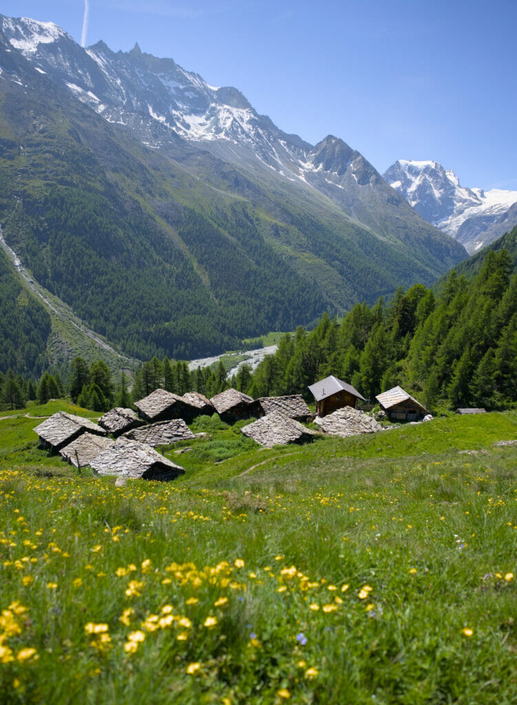
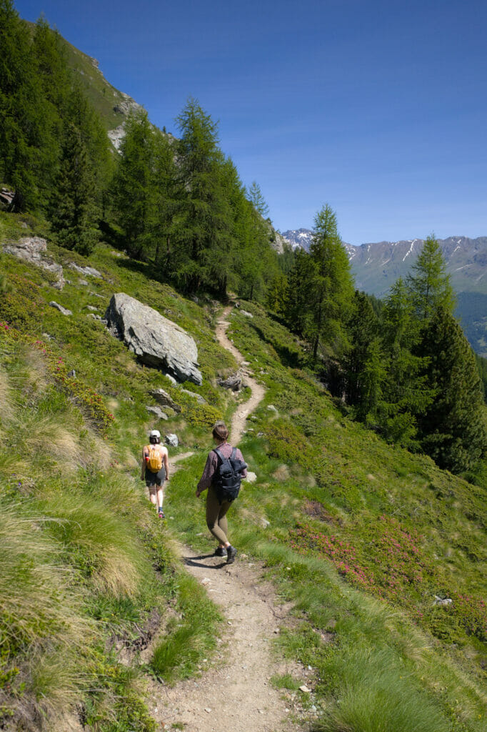
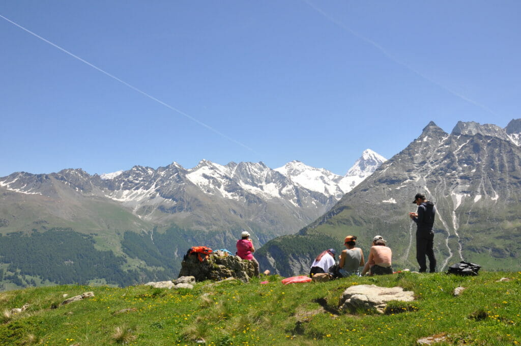
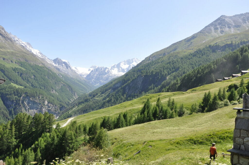
From the Alpage de l'Etoile, the long descent to Les Haudères begins. I'm not going to lie to you, 1300m of descent is a real pain in the ass, but the itinerary presents no difficulties whatsoever. Once in Les Haudères, you can choose between several terraces for a drink or a bite to eat.
Map and route information Arolla - Les Haudères
- Distance : about 14 km
- Elevation change : abotu 800m + and 1300m -
- Walking time: approx. 5h30-6h
When to come to Lac Bleu?
Ahhh, the big question of when to come! I admit it's not so easy to answer, because basically, the lake is almost accessible all year round (at least via the Gouille trail).
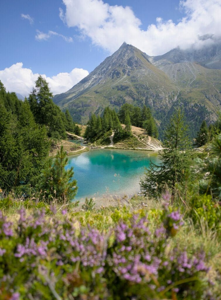
The Lac Bleu in summer: the most popular time of year. Personally, I think it's great to come in summer, because you can enjoy the sunshine and warmth, stroll along the lake and have a picnic sitting on the grass. But beware, it's a very busy time of year. If you can, I'd strongly advise you to avoid weekends and favour the early hours of the day (especially if you hope to be able to park!).

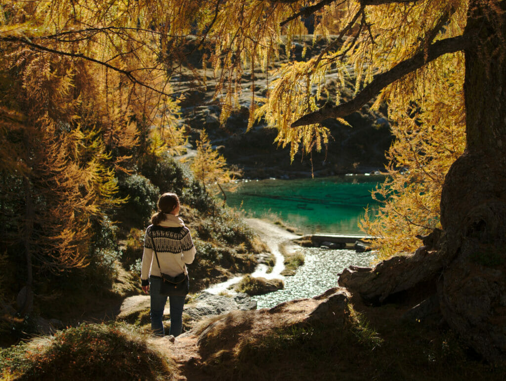
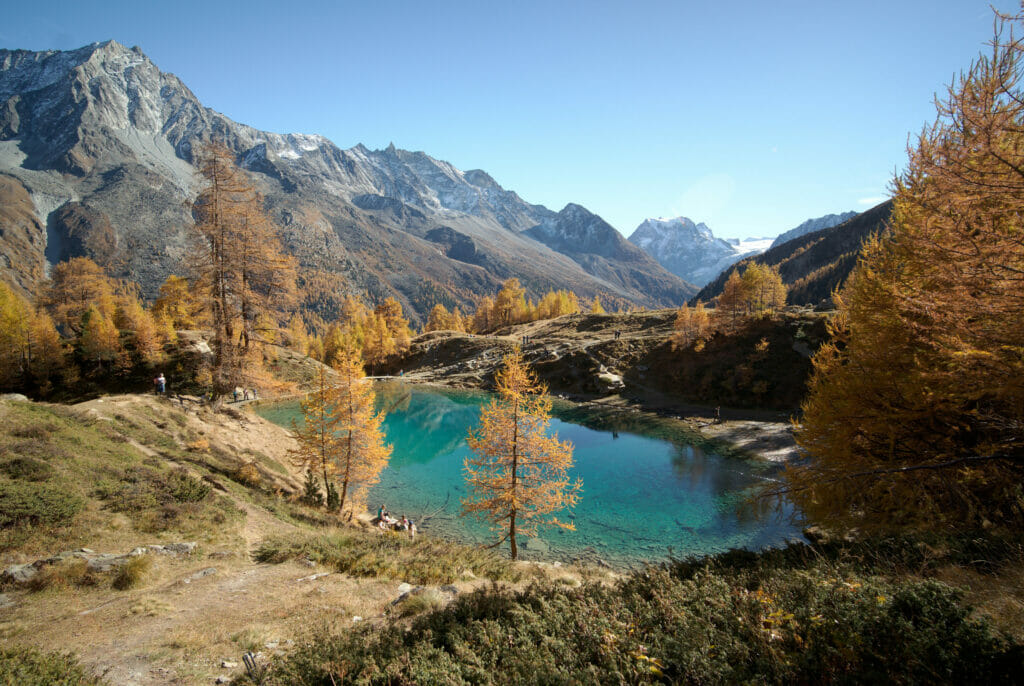
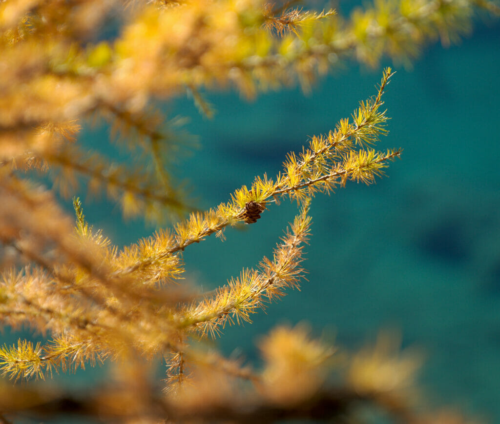
Lac bleu in autumn: My favourite season? Hmmm, it just might be! Between mid-October and early November, the larch trees turn orange and the blue of the lake looks all the more contrasting! Admittedly, the days are cooler, and it's perhaps less conducive to long picnics (although!), but believe me, it's definitely worth coming in autumn!
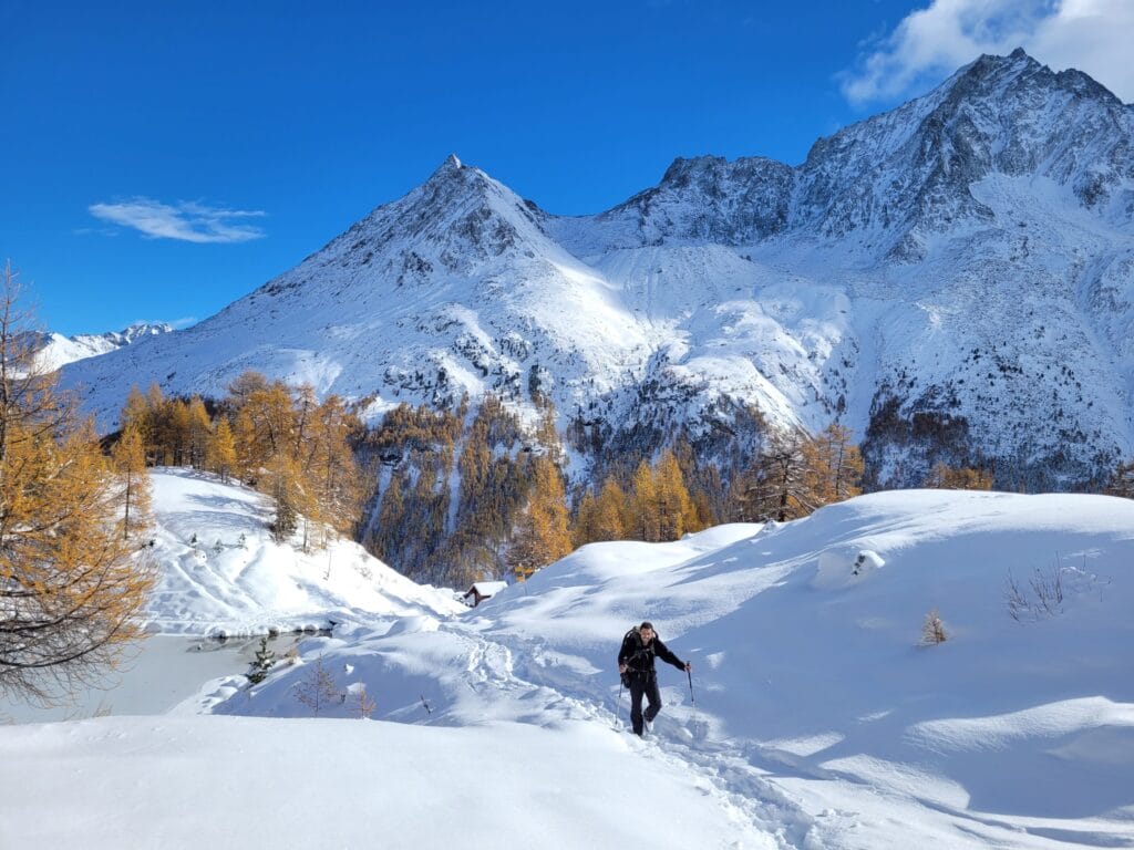
Lac bleu in winter: The only season we don't know yet (no doubt that will be corrected this winter) 😉 Access to Lac Bleu is via a snowshoe trail! Bear in mind that the lake is snow-covered for most of the winter, so it's highly likely that you won't see the color of the water. But that doesn't take anything away from the incredible view from up there! Here are a few pictures of our first ascent this November, right after the first snowfalls. 🙂
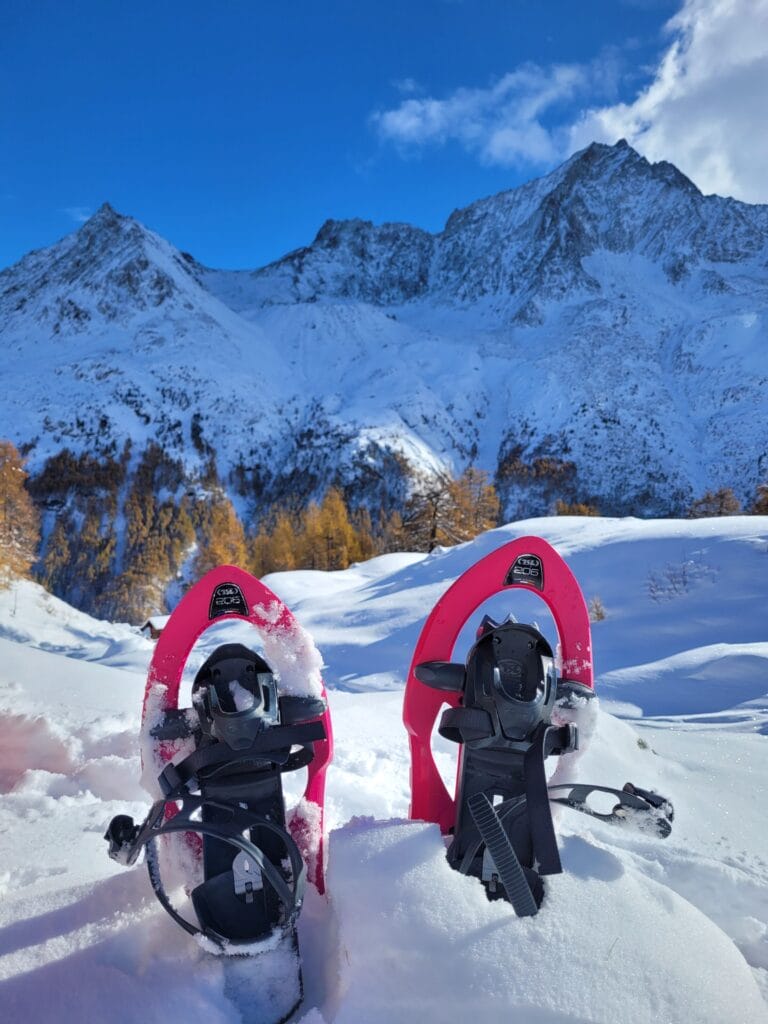
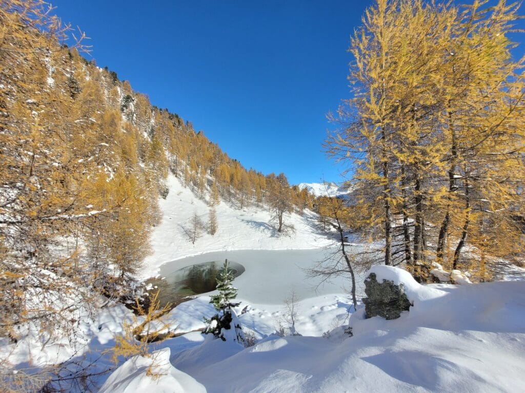
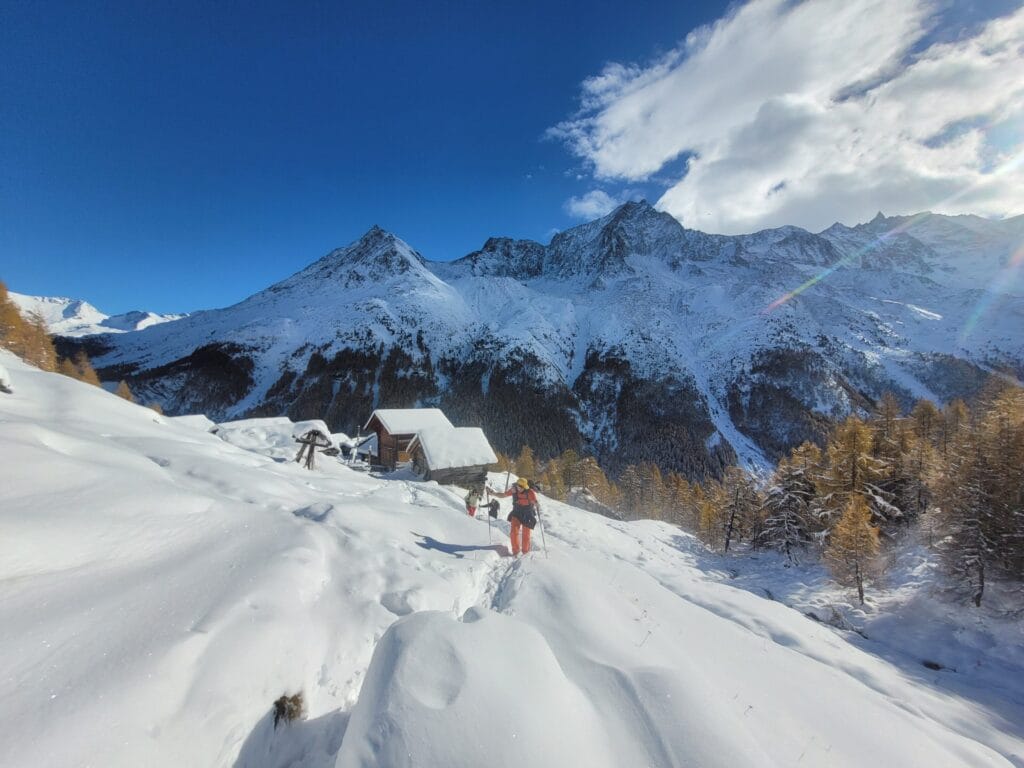
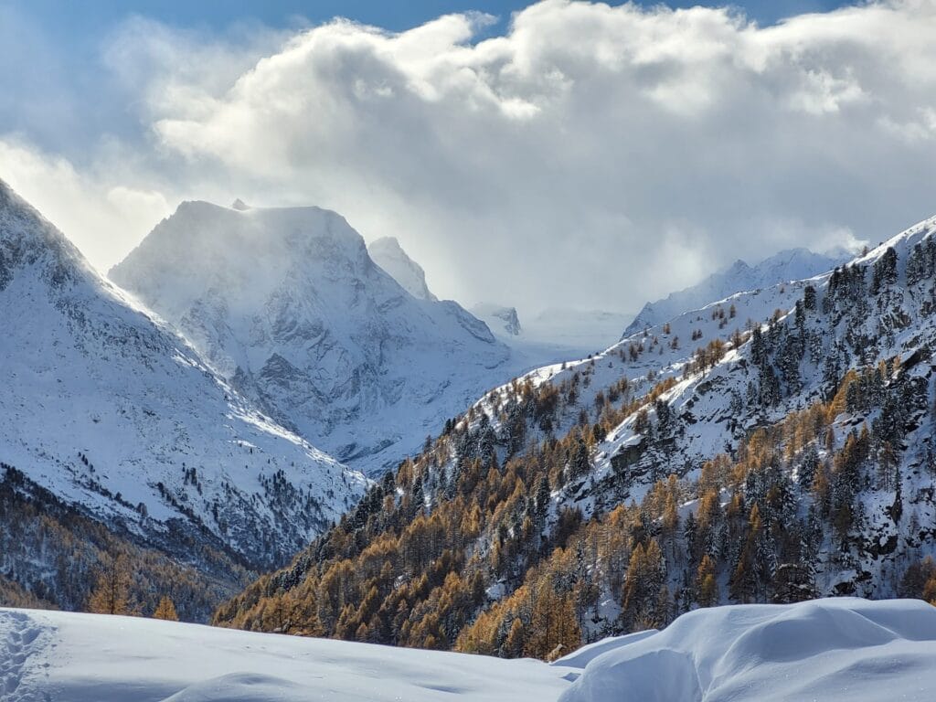
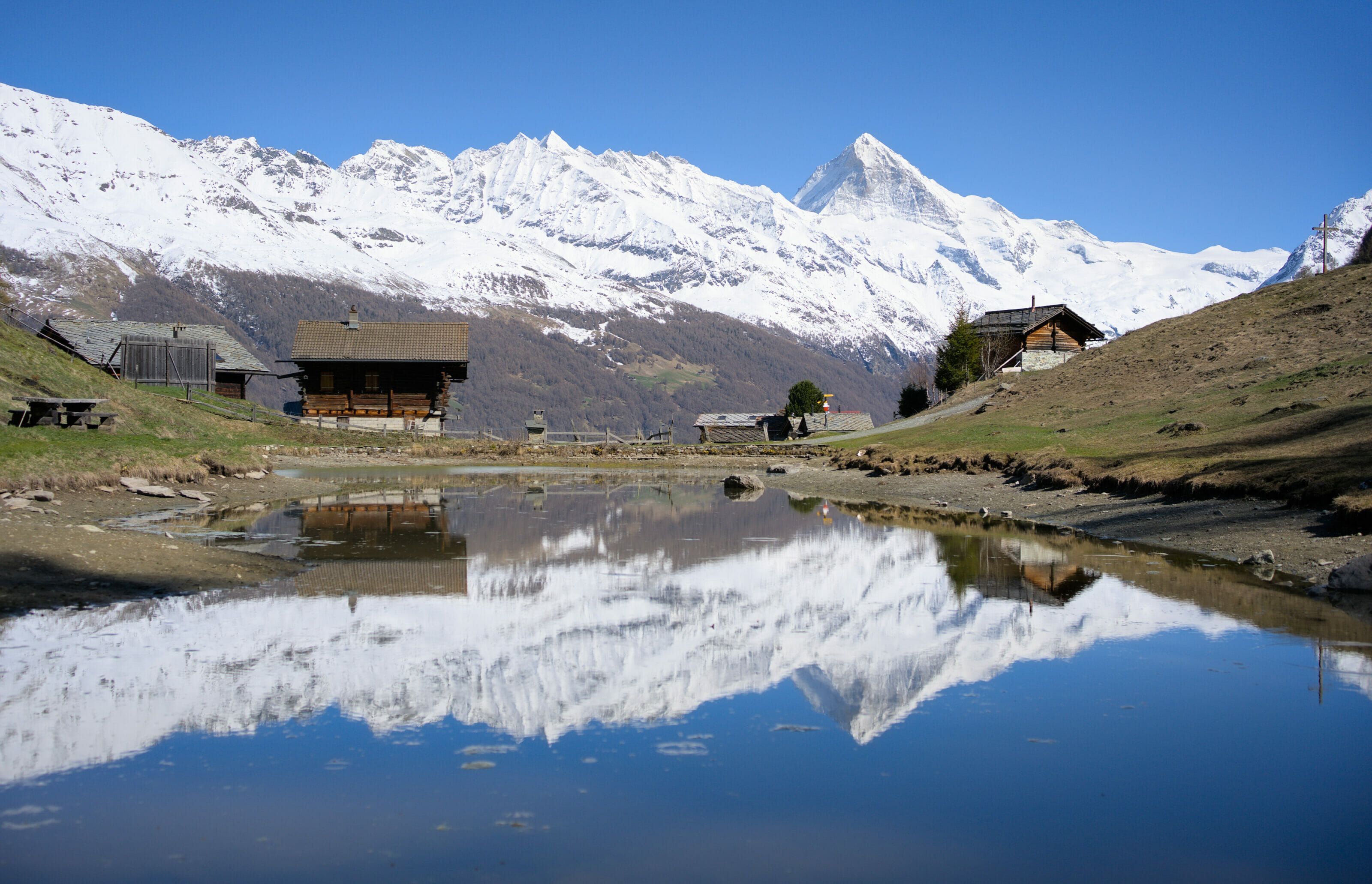
What about spring? I'd say that spring is the most "critical" time for climbing. When there's not enough snow to go snowshoeing but still too much ice to go snowshoeing, it's perhaps the period when things are a little more complicated. After that, it's all relative. From mid-May onwards, the lake is generally accessible, and you can enjoy the fresh air and the awakening nature from this little corner of paradise!
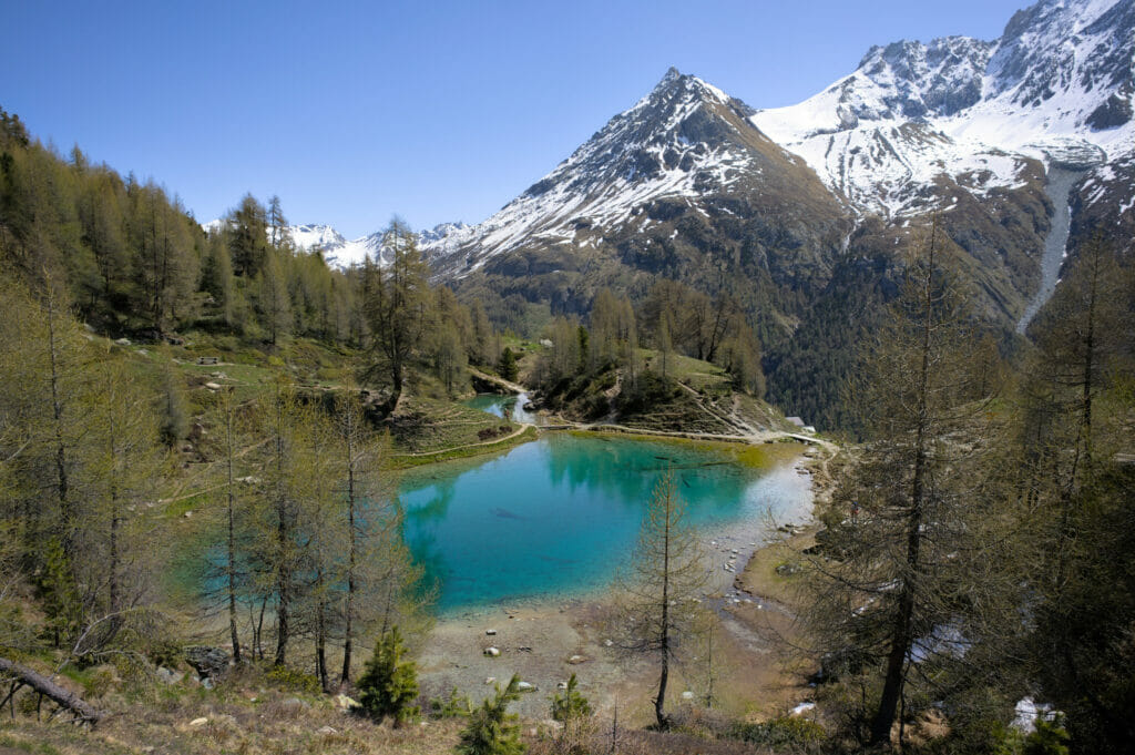
Let's protect this little corner of paradise
As I said at the beginning of my article, the Lac Bleu is a well-known and popular spot during the summer months. Personally, I don't think that over-frequentation automatically rhymes with degradation and problems. But we have to admit that at Lac Bleu we regularly observe problematic behavior which, if multiplied, could really endanger this magical place. So, no, I'm not here to lecture you, but I think it's essential to remind you of a few important rules when you decide to highlight a place that's already very popular on a blog…
- There are no garbage cans on Lac Bleu: whatever goes up in your bag has to come down with you! And even so-called "organic" waste poses a real problem when left en masse (ingestion by livestock or wildlife, rotting, visual pollution, etc.).
- There are no toilets up there. If you get the urge to use the toilet, just stay away from the water, do your business and make sure you don't leave anything behind (papers, sanitary pads etc…). For larger items, make a hole and fill it with earth!
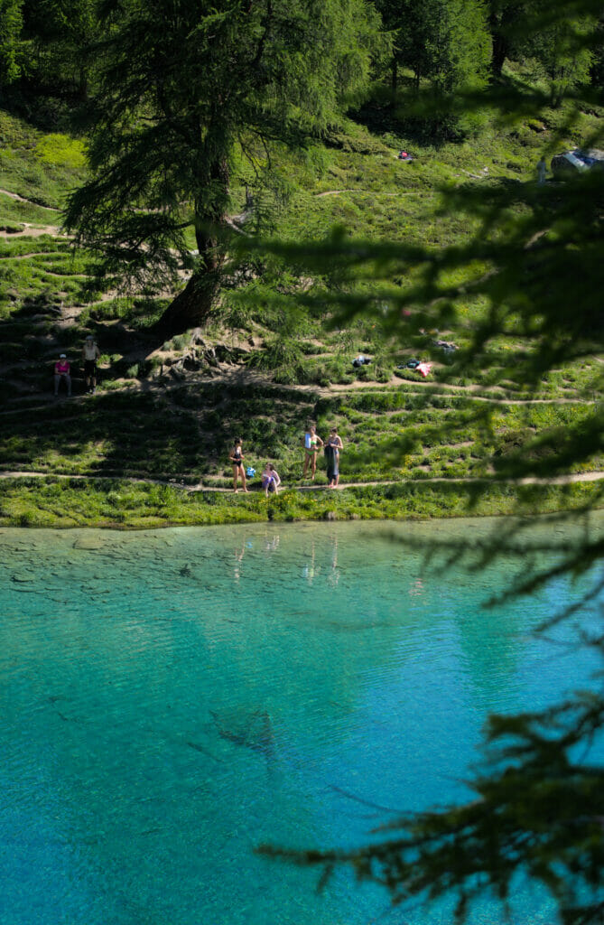
- The crystal-clear water invites you to take a dip… Be warned: the water is icy cold, so you'll need to be brave! Swimming is not forbidden, but please make sure you don't dive into the water if you've applied sunscreen, perfume, mosquito repellent etc… Cosmetic products are loaded with chemicals that impact the ecosystem of our mountain lakes.
- Respect other hikers' desire for peace and quiet… remember a peaceful afternoon strolling by the lake when a band arrived with super loud speakers to start what sounded more like a rave party than a quiet afternoon with friends.
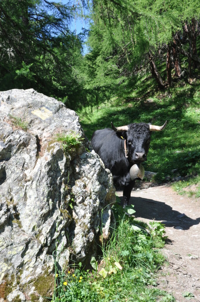
- Respect the herds: cows often graze around Lac Bleu. Close the gates and keep your distance from the cows. They see people passing by every day, but they're not there to take selfies or run away from dogs.
Well, I think that's all for today! Of course, the above itineraries are only personal suggestions. It is entirely possible to combine/mix them to best suit your desires and abilities. The idea here was to show that there's more than just the "fast" option from La Gouille 😉
See you soon for new articles on our beautiful Val d'Hérens (and elsewhere) 😉
Pin it


Join the discussion