It’s been more than 18 months since we launched our Alpiness Coliving project in the small village of Les Haudères, and it’s been a while since we’d been away for a real vacation (by which we mean leaving the house for more than 3 days). So, at the end of September 2024, we packed up the dog and set off with our van for a country we knew far too little about: Italy. Our idea was not to go too far from Switzerland, so we decided on a road trip between Liguria and Tuscany.
For this first article, we’re going to focus on the first of these 2 regions and share our top tips for discovering and hiking in Liguria by van.
- Along the Italian Riviera: the Ponant Riviera
- Liguria’s most beautiful villages: the Dolceacqua area
- Seborga: a look from above at the Italian Riviera
- Bussana Vecchia: The artists’ village
- Colletta di Castellbianco
- Verezzi / Finale Ligure – THE climbing spot for beginners with a sea view
- Passo del Faiallo – Panoramic hike near Genoa
- And what about the Cinque Terre?
- Sleeping with your van in Liguria + driving
- Map of our Liguria itinerary
Along the Italian Riviera: the Ponant Riviera
To be perfectly honest, Liguria was a region we didn’t know at all, and I don’t even think I’d have known how to place it on a map 😉 I could vaguely have said it was in northern Italy, but I didn’t know it was the coastal region around Genoa and also a border region with France 😉 Perhaps, like me, the names Riviera of Flowers, Riviera di Levante (riviera of the rising sun), Riviera of palms or Riviera di Ponente (riviera of the setting sun) mean something to you? Personally, I’d heard these names before, but again, it was impossible to pinpoint their exact location 😉 Here’s a general map to help you get a better overview:
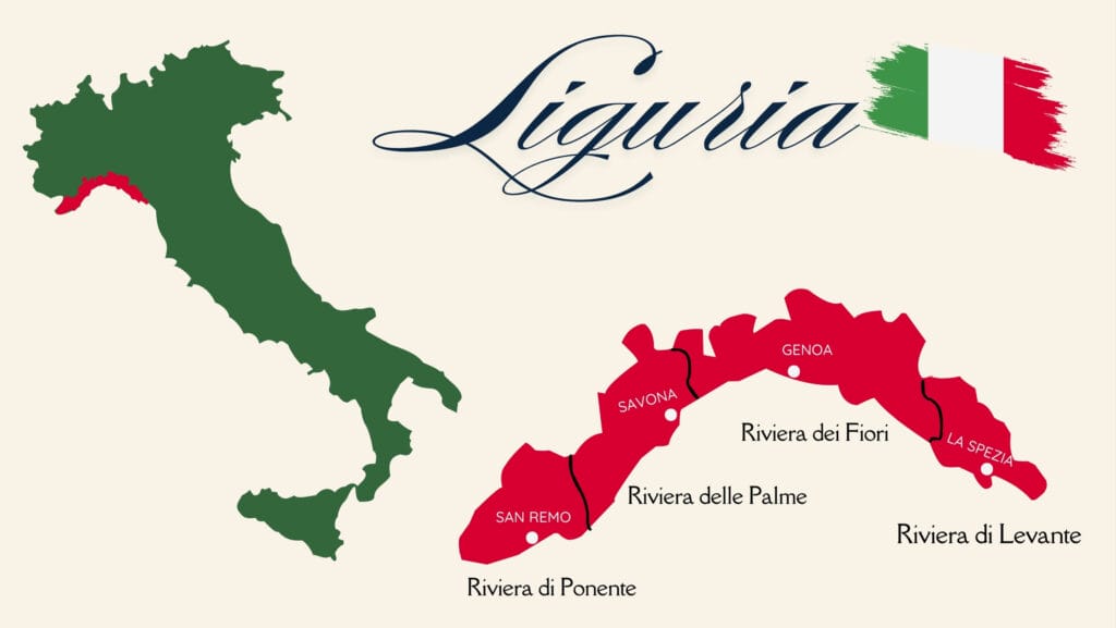
During this road trip we mainly lingered on the Ponant Riviera, the most mountainous region of Liguria 😉
Liguria’s most beautiful villages: the Dolceacqua area
Arriving via Switzerland and the Valle d’Aosta, we entered Liguria via Piedmont, and more precisely via the small town of Ormea. Our first night in Liguria was spent in Andagna.
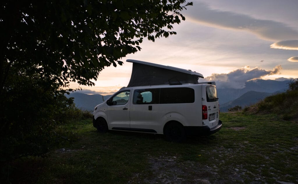
After a wonderful first evening, we had decided to take a look at the village the next morning… But the weather was absolutely miserable, and we headed south to visit the pretty villages around Dolceacqua instead.
Pigna
Our first stop was the charming little village of Pigna. Situated at around 280 meters above sea level, Pigna is part of the Ligurian Alps Regional Nature Park, a 6,000-hectare protected area.
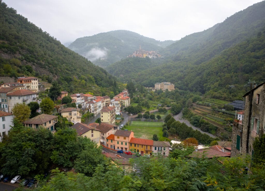
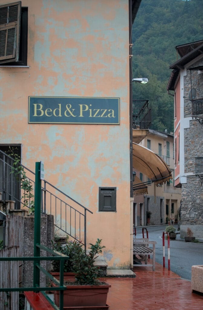
In Pigna, you can visit the historic center, the 15th-century loggia, the parish church of San Michele with its polyptych by Giovanni Canavesio, the ethnographic museum “Earth and Memory”, the church of San Bernardo with its frescoes, and the 13th-century sanctuary of the Madonna di Passoscio. But to be honest, our favorite part was simply strolling through the Caruggi.
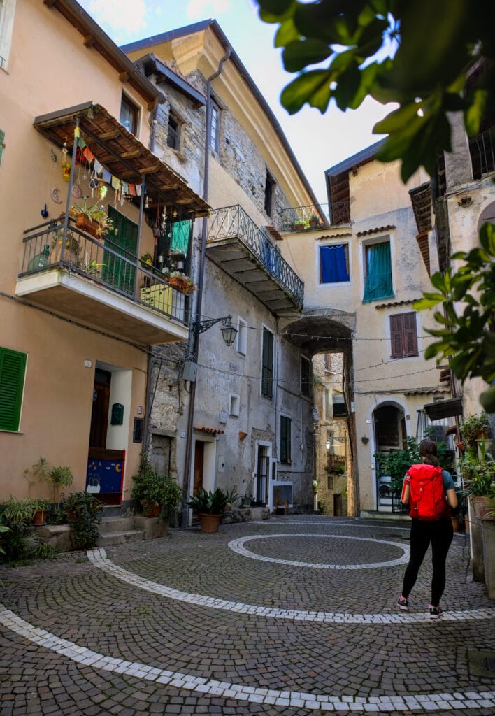
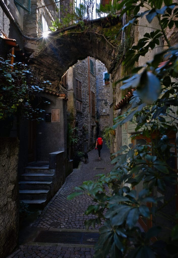
Caruggi, you ask? In fact, they’re the narrow alleys between the houses that were used in the past to get around without being exposed to invaders. It’s quite funny, because at times you really feel as if you’re not outside anymore… it’s a maze of corridors and alleys, almost all of which lead to the Piazza Castello.
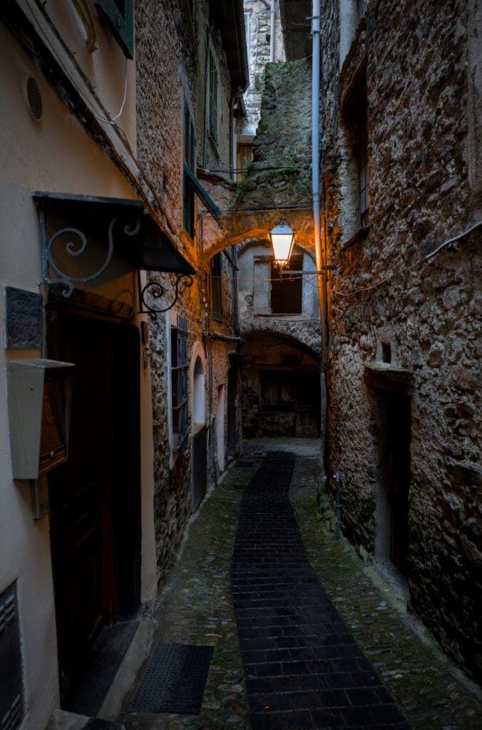
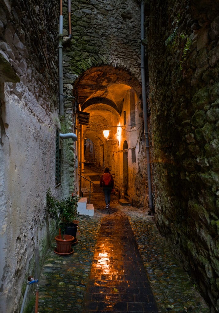
You might think there was a castle on this square, but that’s no longer the case. The square takes its name from the ancient castle, built between the 12th and 13th centuries by the Counts of Ventimiglia.
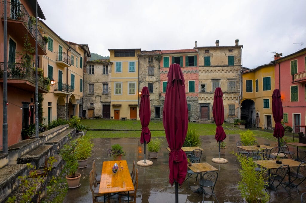
Also known as “la Cola”, this square offers a beautiful view of Castel Vittorio.
From the parking lot we also had a lovely view of the little village of Castel Vittorio, perched just above Pigna. Just as we were hesitating to go on foot to stretch our legs a little, the rain started to pour again… The ascent can be made along a pretty path in the forest (allow 30 minutes’ walk). But with the amount of rain, we were a little worried about getting up to our calves in mud 😉
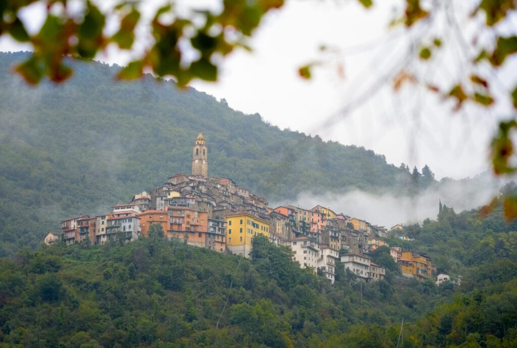
PS : if you’re coming by car or van, don’t head for the village center. Instead, use the parking lot next to the soccer pitch and walk up 😉
Apricale
The next day, the sun made a comeback and we continued our discovery of the villages. There’s no denying it, the beautiful weather adds a real charm to the scenery 😉 Our first stop of the day was the village of Apricale.
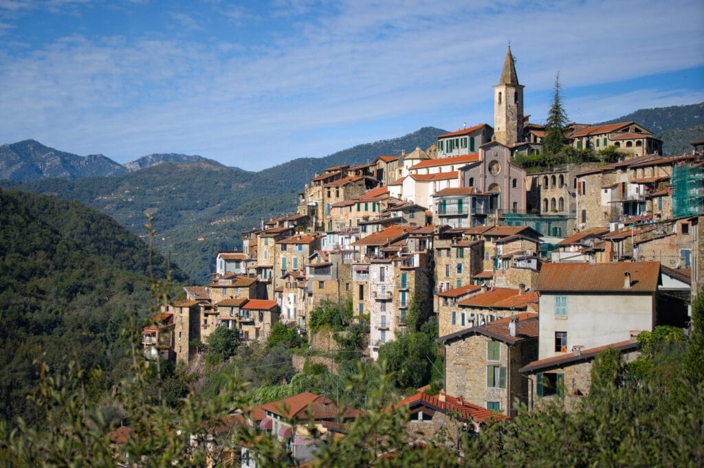
Perched on the hills of the Nervia Valley, it is surrounded by olive groves and offers spectacular views of the surrounding mountains. One of Italy’s most beautiful villages, it boasts narrow stone streets, colorful facades and a peaceful atmosphere. Don’t try to venture into the center by car, though 😉 If, like us, you’re arriving from Isolabona, we advise you to stay on the main road and drive around the village, parking in the public parking lot on the SP63.
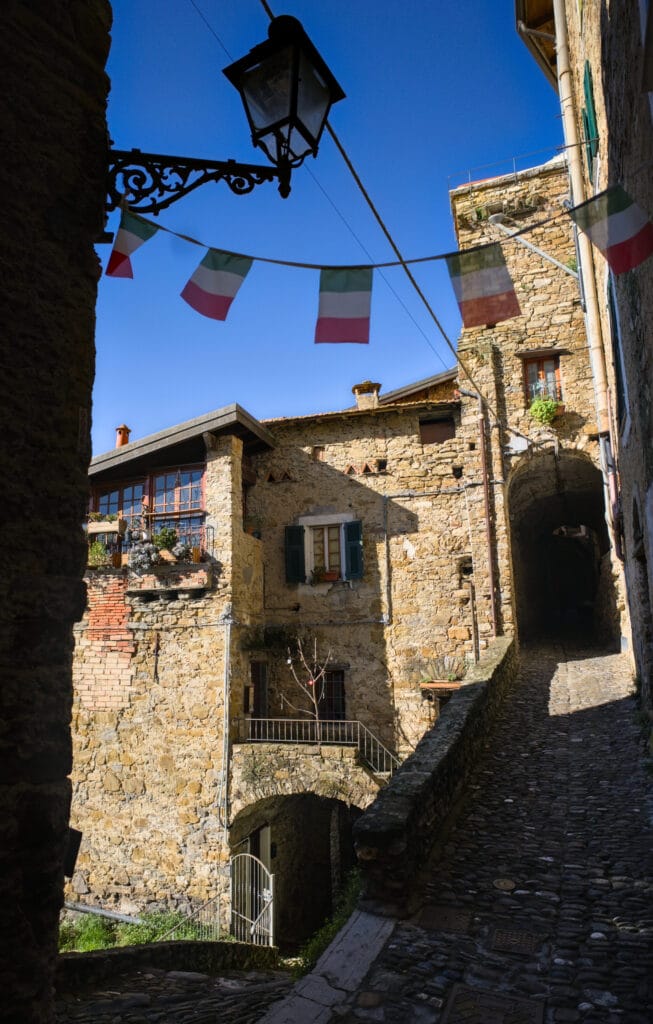
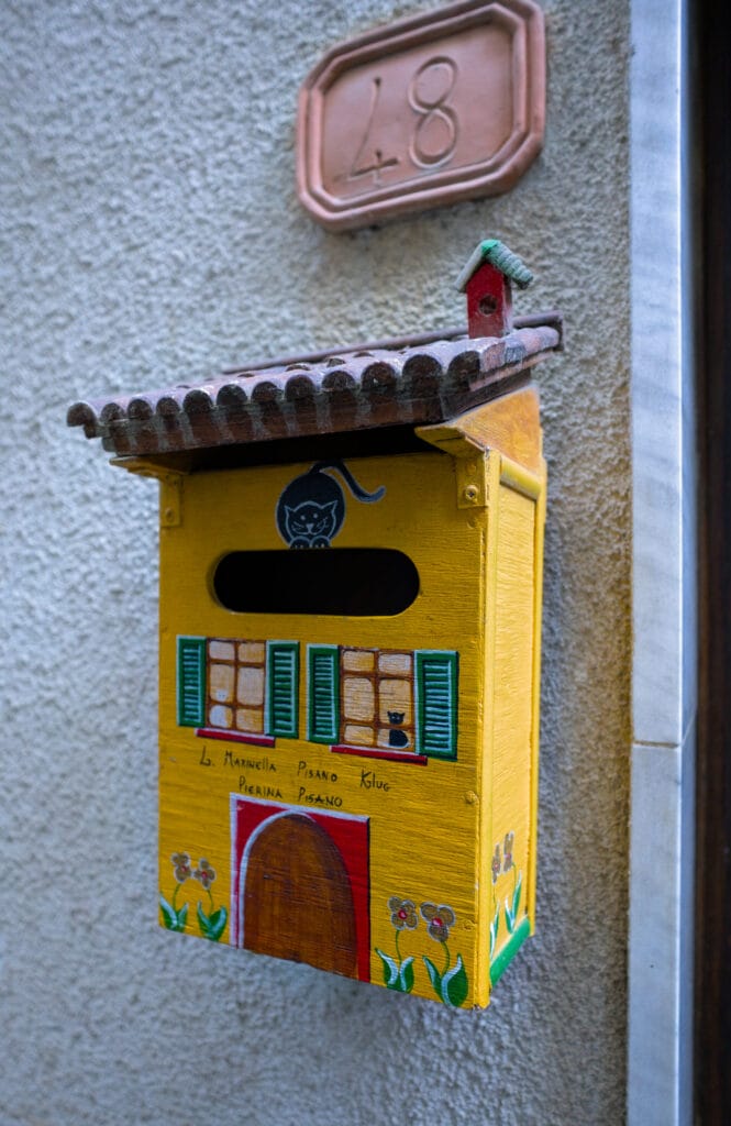
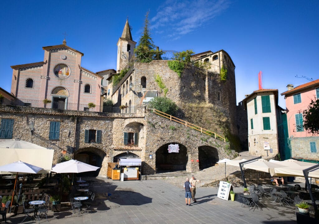
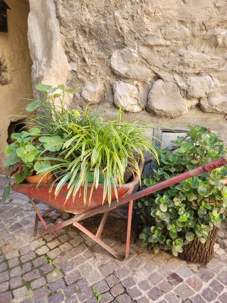
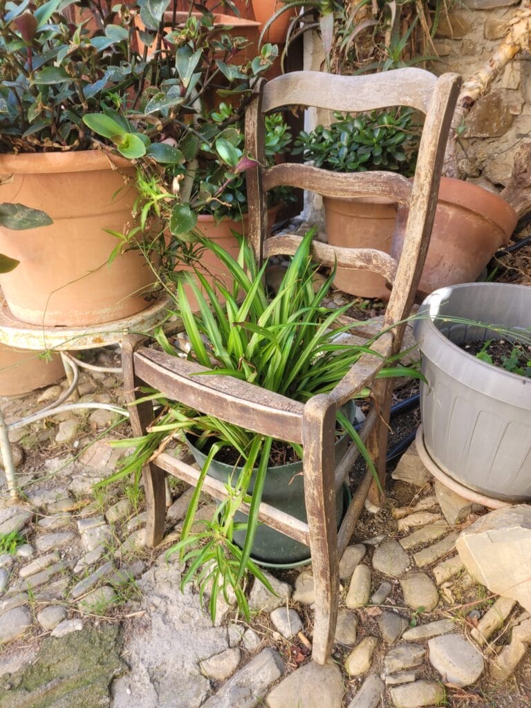
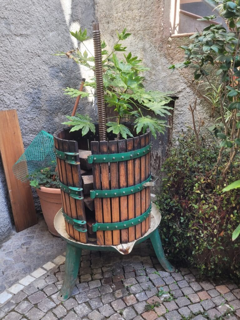
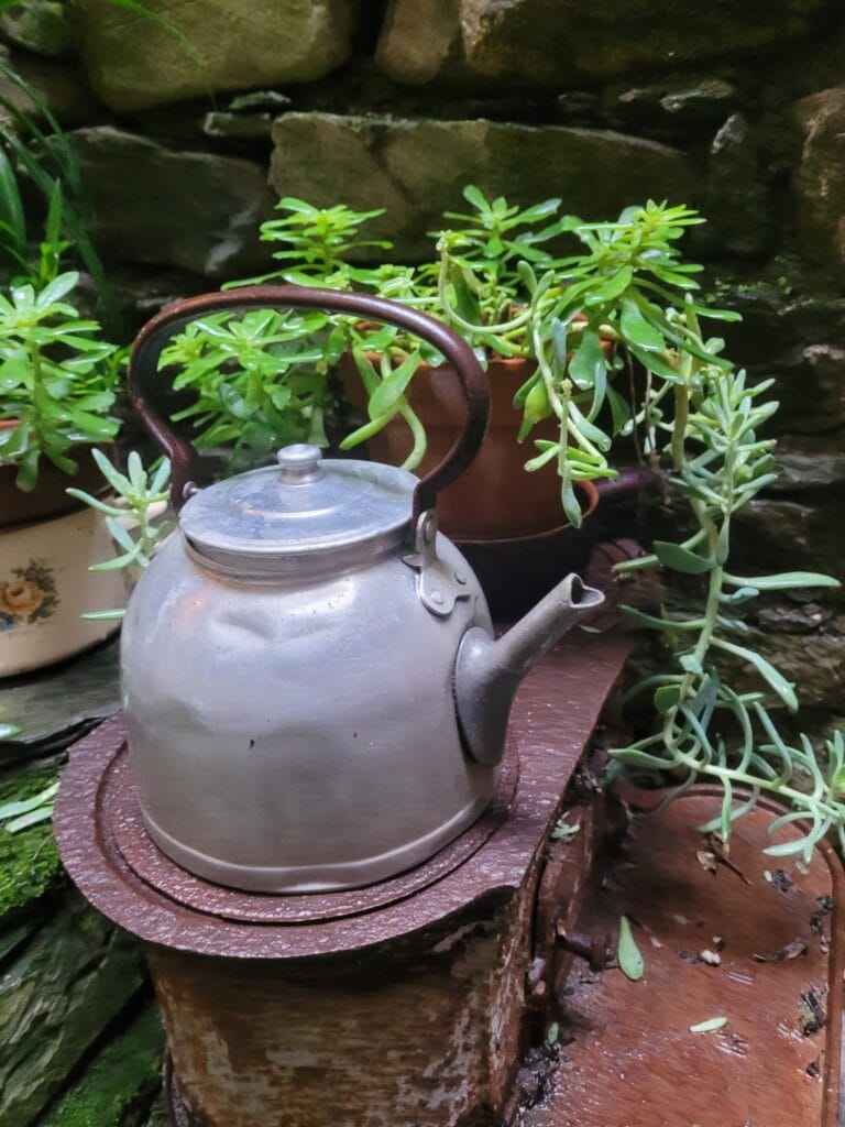
Apricale is also known for its vibrant artistic life, with numerous murals and sculptures on display in the open air, as well as cultural events/festivals throughout the year. And, as in almost every village, the locals love to decorate the narrow cobbled streets with green plants! As we struggle to keep ours alive when they’re bathed in light, we wonder how they manage in these super-narrow alleys that hardly see any sunlight 😉 The green thumb, you might say!
Dolceacqua
Dolceacqua is by far the best-known and most-visited small town. However, it’s probably the only one that’s still accessible by larger bus… The small, winding mountain roads leading to Pigna or Apricale are not particularly suitable for large vehicles, and this surely explains the difference in numbers of visitors 😉
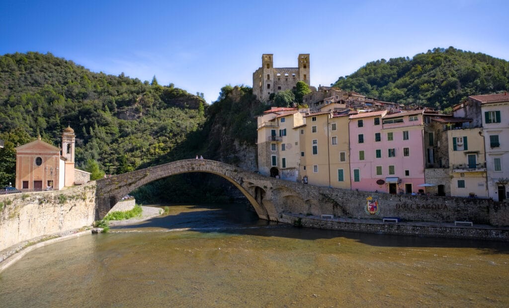
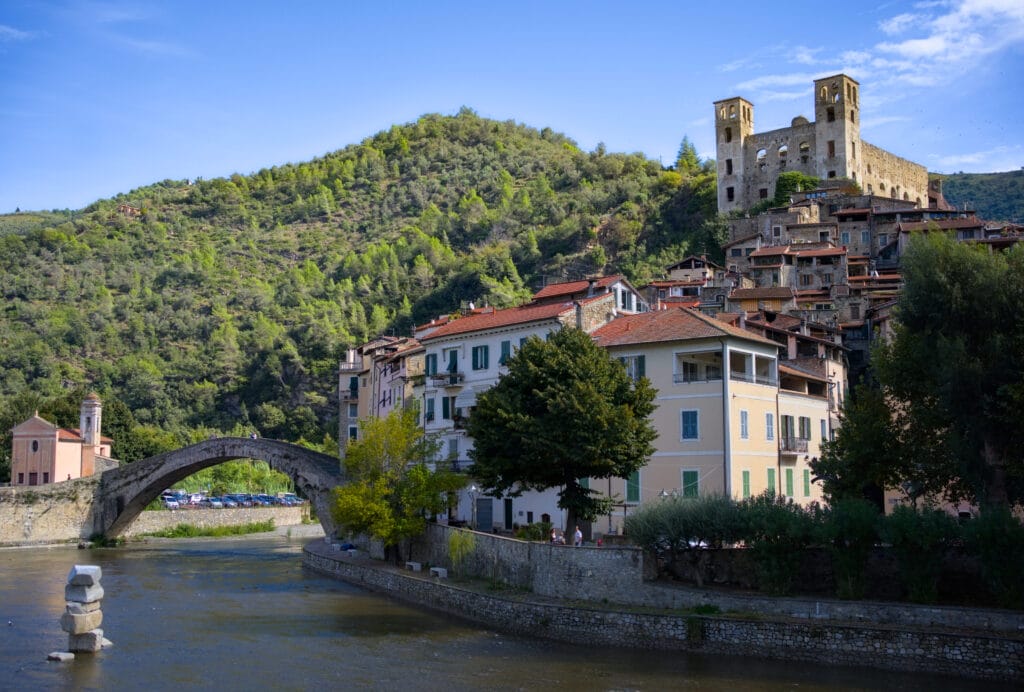
It’s also one of the most densely populated villages, with the most shops, restaurants and cafés. The old town is dominated by the Doria castle and is a 100% pedestrian zone. Access is via one of the 2 bridges that cross the Nervia. In this part of town, the narrow cobbled streets lead, for the most part, to the castle at the top. Here you’ll find mostly small souvenir and craft stores.
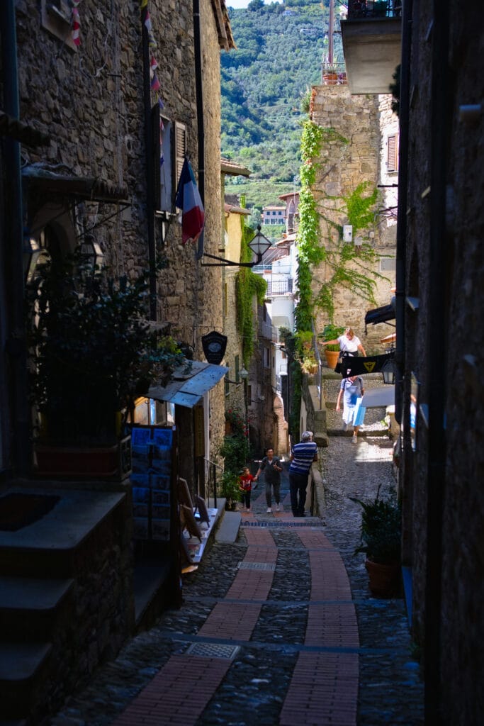
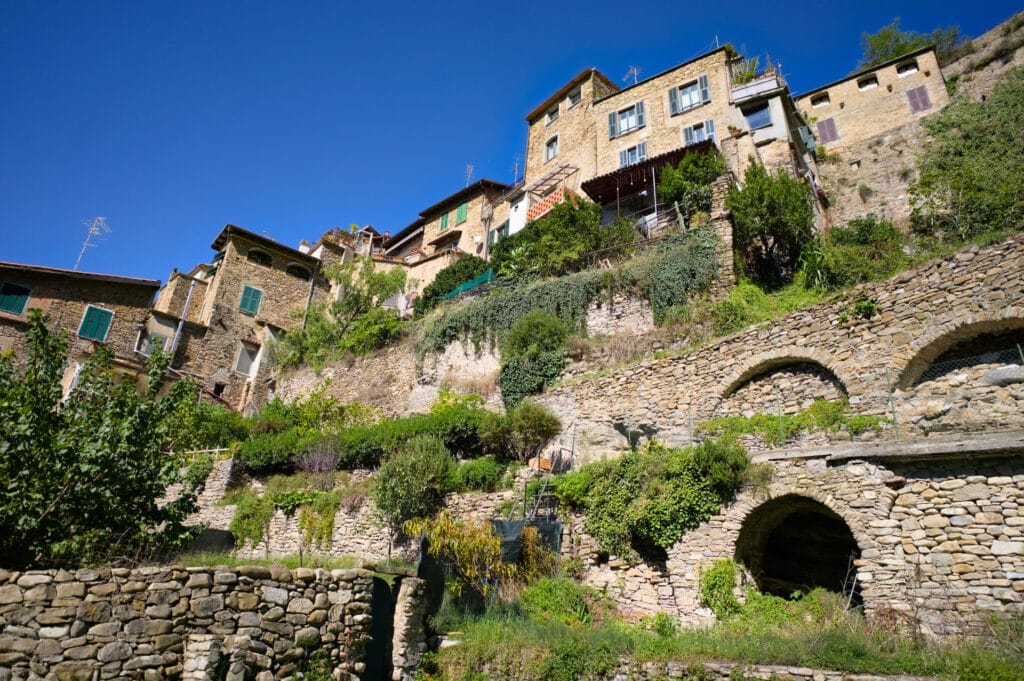
The newer part is called Borgo. It’s on the opposite bank and runs up the valley. This is where the vast majority of shops and terraces are located.
To be quite frank, Dolceacqua is a stopover we found perfect for doing a bit of shopping, drinking a coffee, eating a slice of cake on a terrace and wandering around the narrow streets. But from a “charm” point of view, we much preferred the other villages 😉
Rochetta Nervina
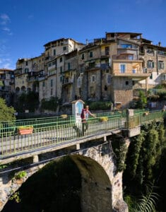
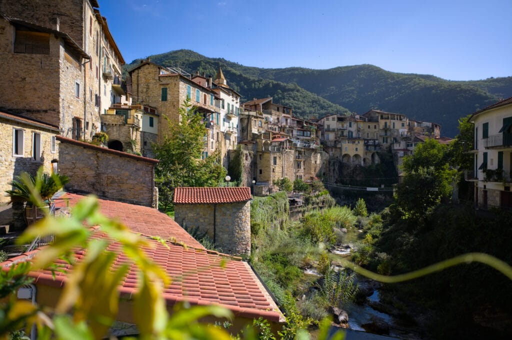
The last village we visited was our absolute favorite! Perhaps the most picturesque village in the Nervia Valley. On arrival, we parked a little way out in the public parking lot at Piazza Cola and then took the main bridge to the pedestrian center.
Rocchetta Nervina is crossed by several crystal-clear rivers, forming magnificent natural pools and waterfalls. We strongly advise you to take the little footpath that runs up the river alongside the old town. The village gave us the impression of being completely deserted… After some research, it turns out that there are only 300 inhabitants (the same as our village) and I have to say that, on reflection, it was pretty similar. Then, with the architecture so close together, the village seemed “bigger ” to me, but I think that’s just an impression.
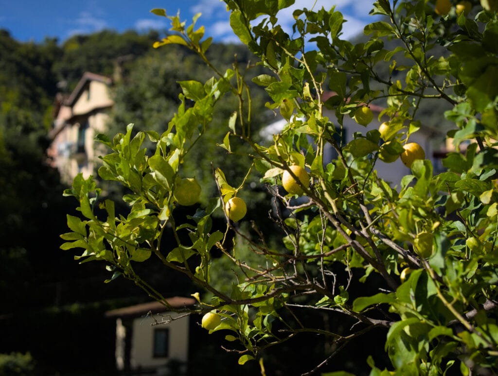
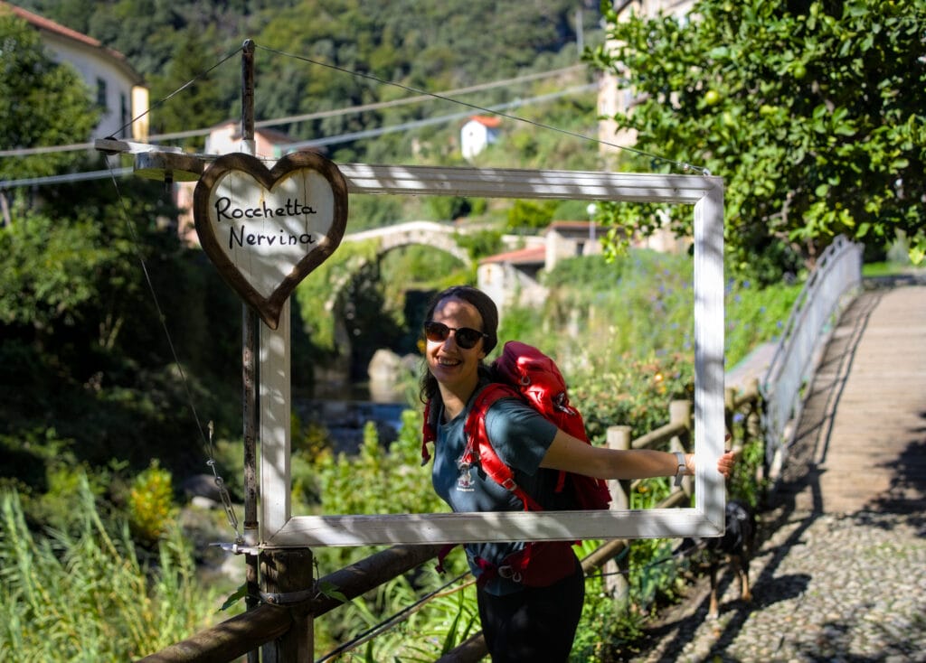
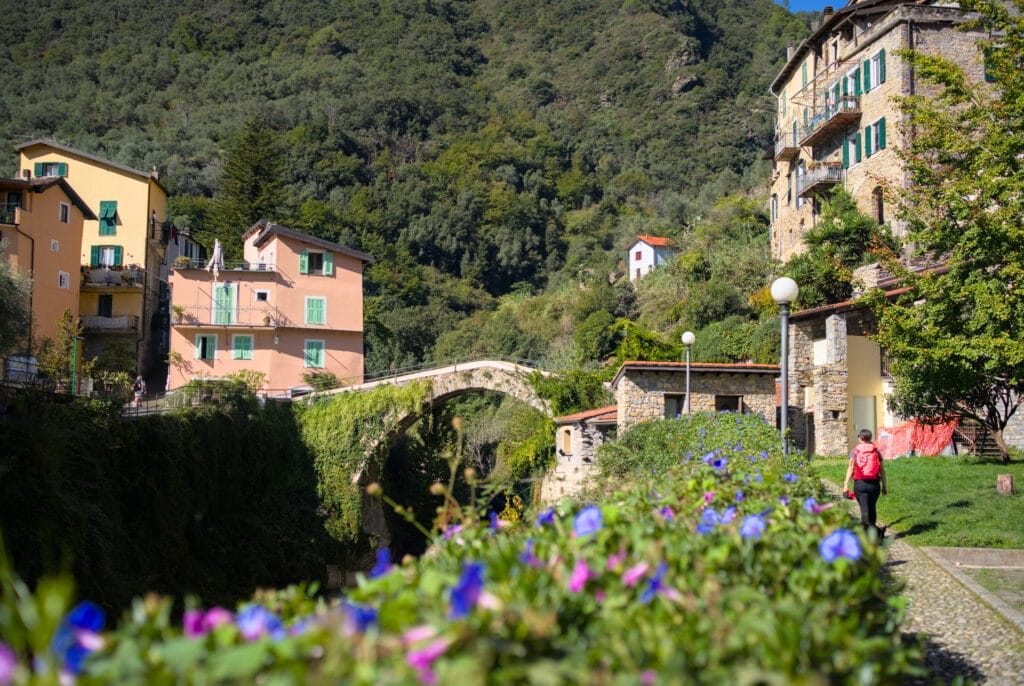
I’d love to recommend some of the must-sees in this village, but the highlight is simply strolling through the narrow streets one by one. If you fancy a coffee, there’s a lovely terrace on the other side of the stone bridge (just before returning to the parking lot).
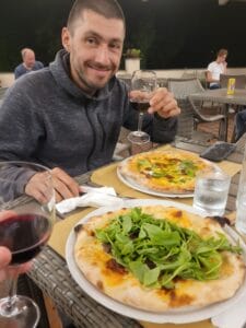
To visit the villages, we decided to base ourselves at the Delle Rose campsite. We called the same day to make a reservation. We have to admit, we were puzzled by the reviews… on google it says 5* or 1*… But hey, it was the best located so we went for it. Quite frankly, I think the two extremes of the reviews are unjustified. The welcome was friendly, the pizzas excellent and the pitches quite spacious. After that, the sanitary facilities clearly could have been better, but they were in the middle of a renovation project, so I’m hopeful that things will improve in the future. In short, not a dream place for a long holiday, but it does the job for visiting the surrounding area. FYI: we paid €25 a night for 1 van, 2 adults and a dog (without electricity). See the website
Seborga: a look from above at the Italian Riviera
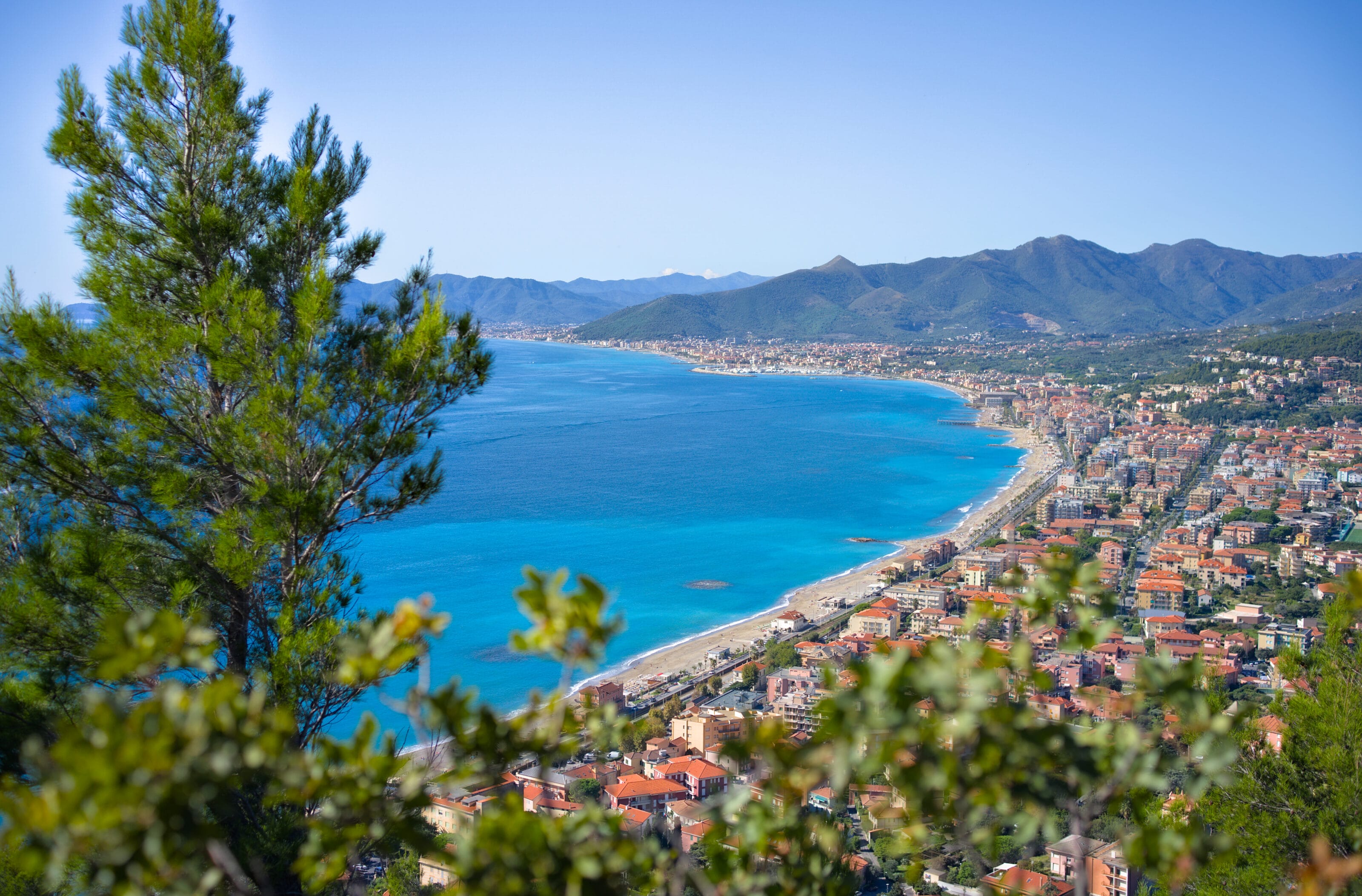
From Dolceacqua we continued on towards Ventimiglia and the famous coastline. We’ll be 100% frank: we found the succession of coastal towns and seaside resorts rather uncharming. I don’t know… I had a much more bucolic image of the coast, but the reality is more a succession of large concrete buildings built in the 70s. No doubt there are some cute pedestrianized historic centers here, but we’ll admit we didn’t take the time to stop 😉 No sooner were we on the coast than we were already looking at the map to get a bit further away and back on the road to the mountains.
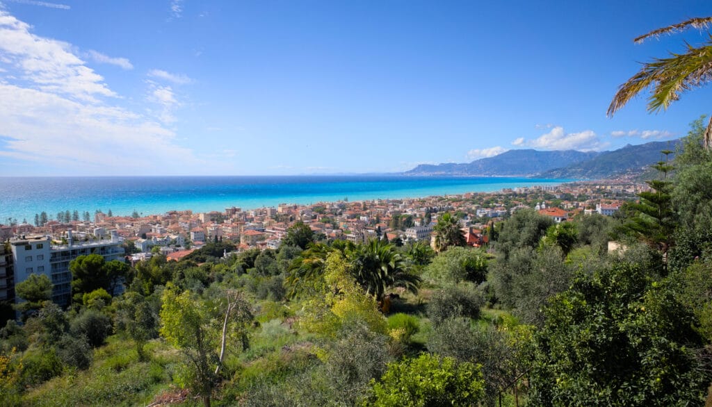
We decided to stop in the small village of Seborga. We’d seen online that you could park your van there overnight in the small parking lot below the center, so we figured it was a good excuse to go for a hike.
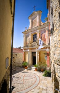
For the record, Seborga is a rather special place, as for just under 100 years, this small commune of 300 inhabitants decided to claim itself as a “principality ”, or independent state if you prefer. In 2019, a princess, Nina Menegatto, was elected by the inhabitants for a 7-year term. The village has even minted its own currency, which can be purchased online or at the tourist office…
Italy does not, of course, recognize this independence, and the village is officially part of the Imperia commune. But it’s still a nice little anecdote, especially as you pass a border post as you drive in from the coast (it’s a little hut next to the sign indicating the entrance to the principality).
Monte Nero loop hike from Seborga
Let’s be honest, the tour of the principality doesn’t take very long, and the reason for our visit was clearly more to do with potential views than administrative gossip 😉 Anyway, after a quick tour of the village, we set off for a superb walk up Seborga towards Monte Nero.
The hike begins with a lovely balcony path that climbs gently towards the junction below Colla del Montenero. Most of the path is in the trees, but there are some nice views over the village of Seborga.
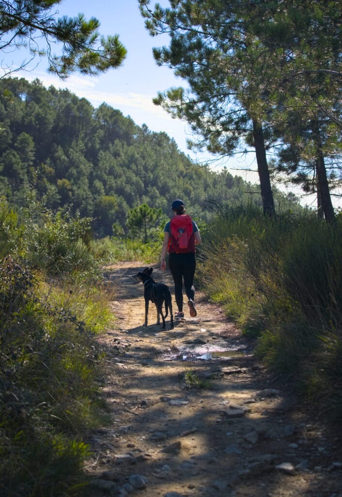
After about 2.5 km, you join a dirt track which you follow for about 300 m, reaching a crossroads at the foot of Monte Nero. Here you can take the path in either direction. For our part, we chose to follow the path that climbs straight up behind the wooden fences. We didn’t know exactly what the path would be like, so we decided it was better to climb steeply than to descend steeply (the GPX track seems to indicate that the 60m difference in altitude is a steep climb).
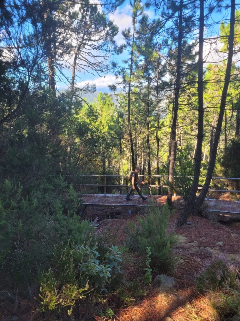
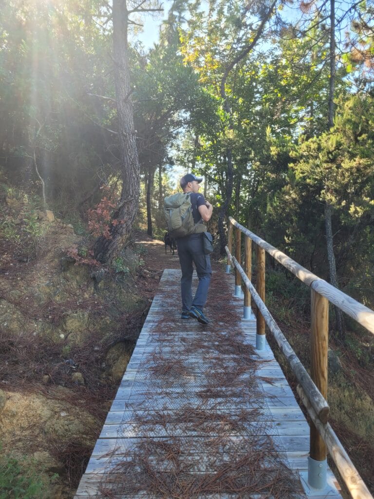
In reality, this calculation proved to be completely futile, as a wide zig-zag path was laid out. This obviously makes the route a little longer, but the gradient is extremely gentle.
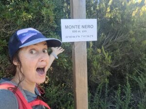
We’d seen photos of the view on AllTrails before setting off, and naively thought it was the view from the summit (logical, you might say). But we were disappointed when we arrived at the summit sign in the middle of a thick forest.
We couldn’t see a thing!
From the summit, the path descends gently towards the coast and the town of Bordighera. Just as we were beginning to wonder whether we’d ever get a view, we came to a crossroads at which we turned left to retrace our steps. At this point, we had to continue for another 50 m to reach a paragliding launch site, where the view was nothing short of magical!
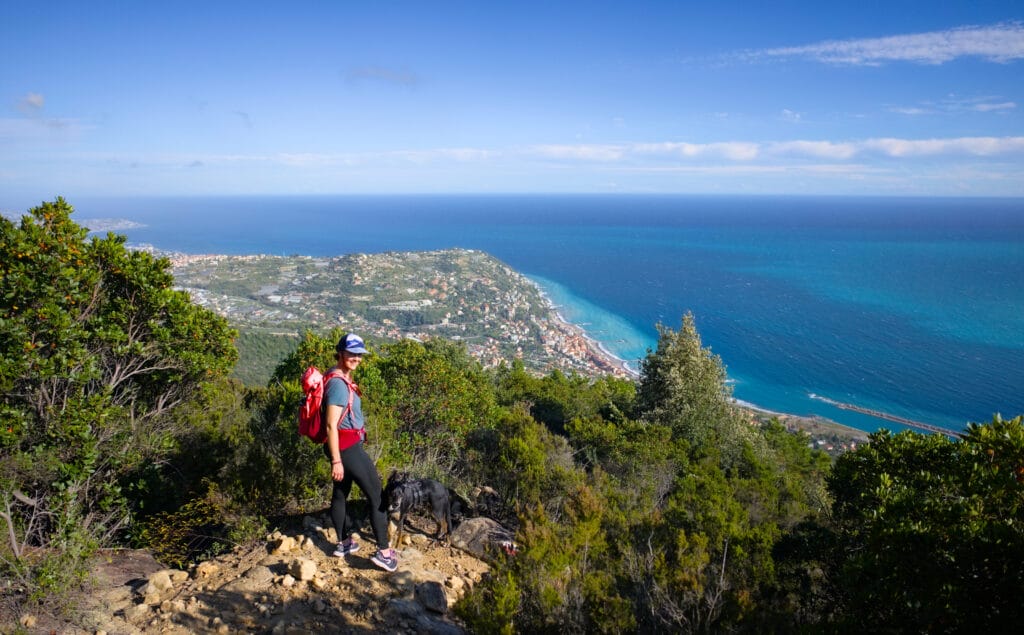
From the viewpoint, take the path back to the base of Monte Nero, this time skirting it to the east. This path is actually nicer than the one via the summit, as it offers a magnificent view of the coastline almost the entire way.
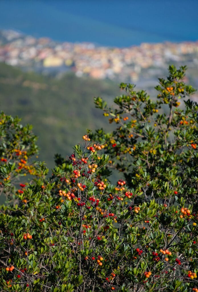
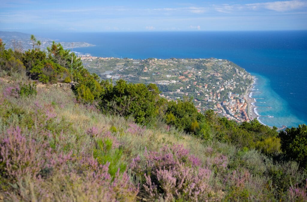
Once back at the crossroads, we follow the track we took on the outward journey. Then, when you reach the fork in the road you came to earlier (at km 2.5), continue straight on to take the path below Colla del Montenero. The way back follows a wider track than on the outward journey, and as the terrain is easy, I’d say it’s the most “rolling ” part (by which I mean that the last 3 km back to the village are a mere formality, with still some very fine views)!
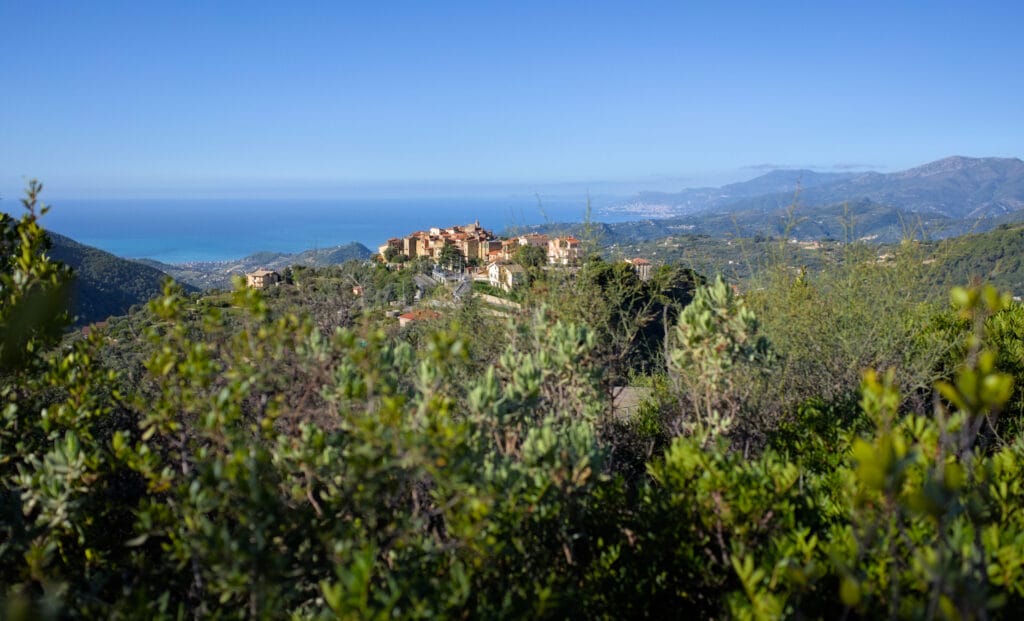
Monte Nero hiking information
This itinerary is easy and widely accessible. The total distance is around 9km with 350m of ascent (positive and negative). We set off on foot from the village center of Seborga, where we had parked the van. In all, the loop took us around 3h30, including the many photo breaks (walking time: around 2h40).
PS : At the end of our hike, we came across a great spot where we could spend the night in total peace and quiet, an absolutely perfect wilderness spot. And no, we won’t share the location here, but if you do the hike you should find it without too much trouble 😉
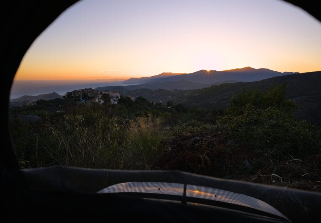
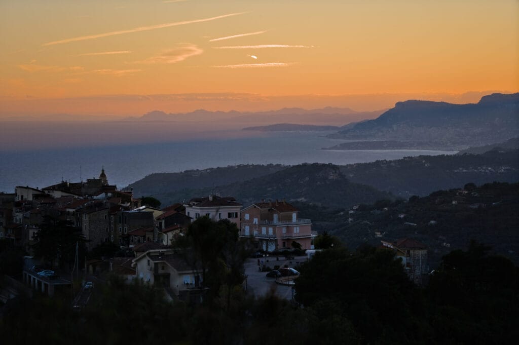
Trail run to Monte Caggio from Seborga
After this magnificent sunset from the van, I (Benoit) motivated myself for a little sunrise trail run towards Monte Caggio (the highest peak easily reached from Seborga). After my 1st real ski touring season at home, I’ve taken up trail running and I must say I’ve really got the hang of it. I particularly like the feeling of being able to move fast on hiking trails and cover such long distances in a relatively short time.
The 1st part of the route climbs quite a bit up to Monte Carparo. But the views behind me are spectacular as the sun rises (sorry about the quality of the phone photos 🙁 ).
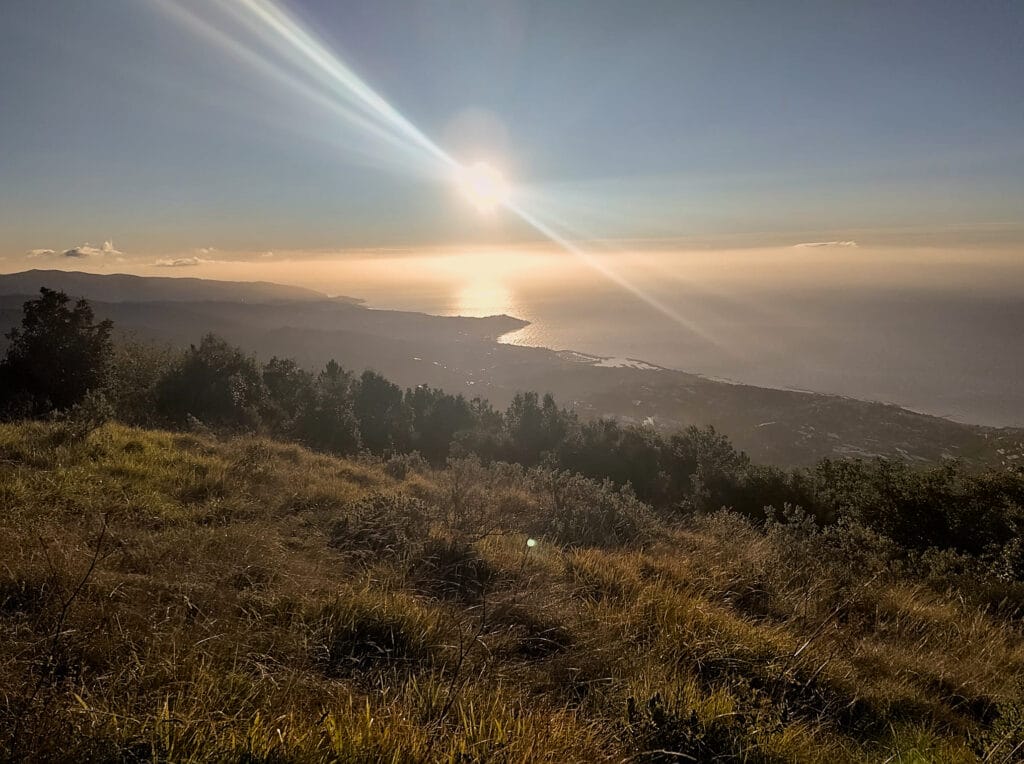
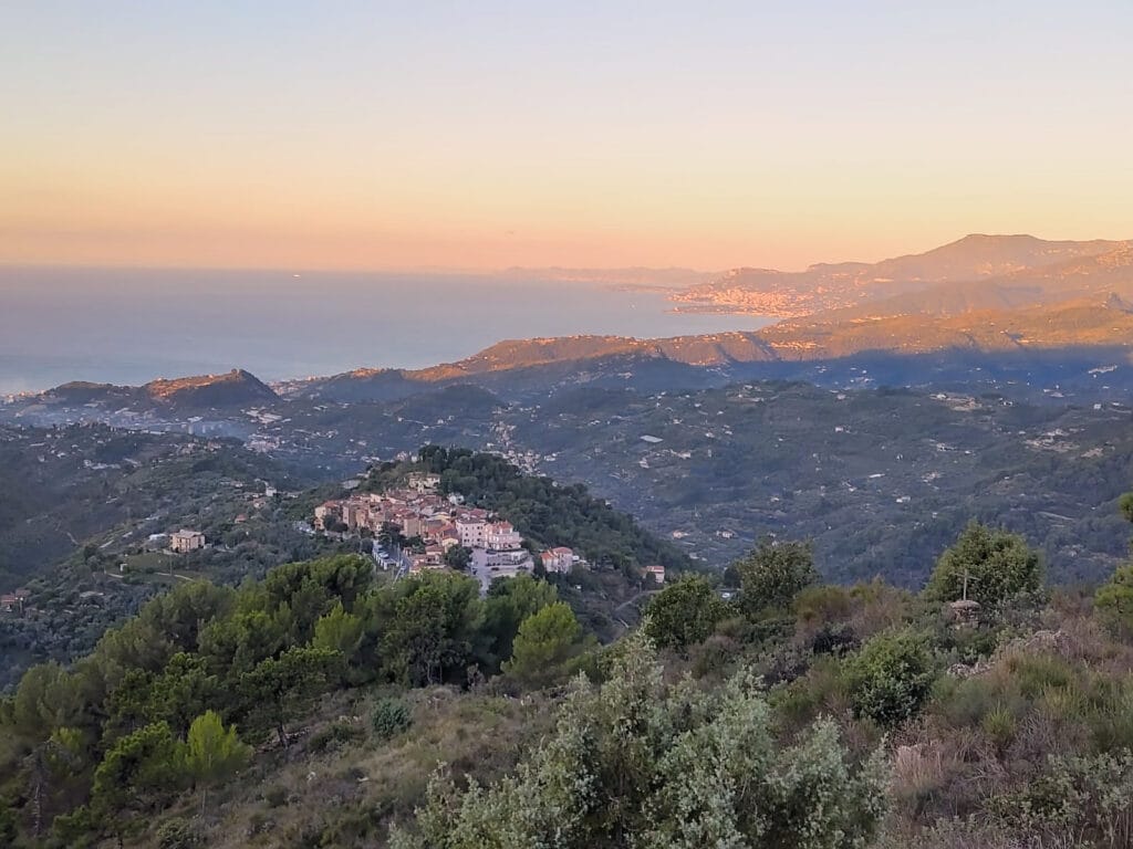
Then the slope becomes gentler and the trail alternates between short climbs and flat sections in the forest. Frankly, if you’re a trail runner, it’s a good one… but if you prefer hiking, it’s also a great itinerary. After one last steep section, I reach the summit of Monte Caggio. I’ve certainly disturbed the people camping there (there was a tent on the flat under the summit cross) but hey…
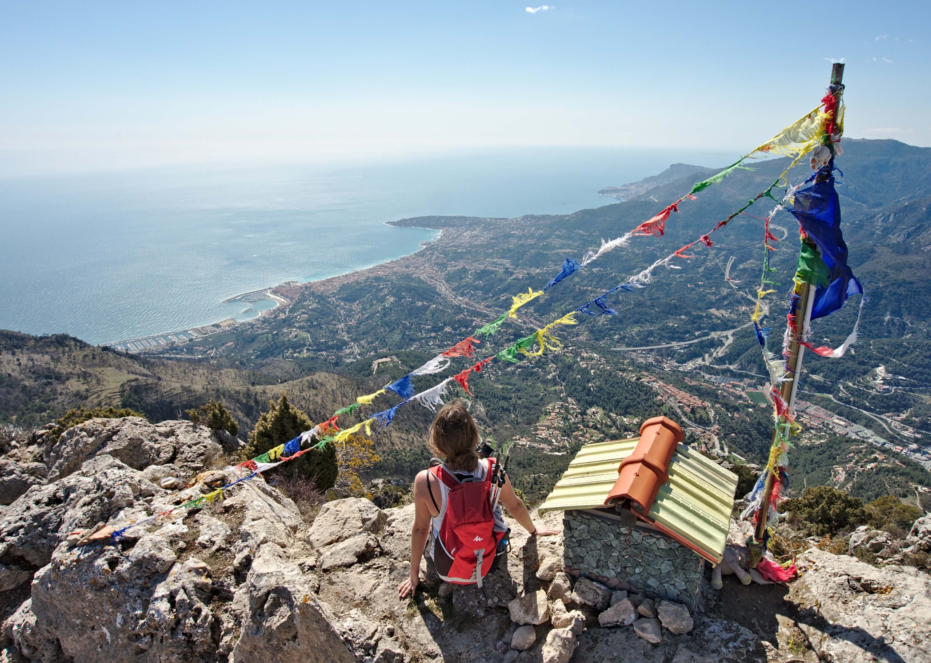
And just so you know, the best viewpoint isn’t at the summit next to the cross, but just below the plateau, where you’ll have a magnificent unobstructed view of the entire coastline. There’s also a little statue of the Virgin Mary there to admire the view 🙂
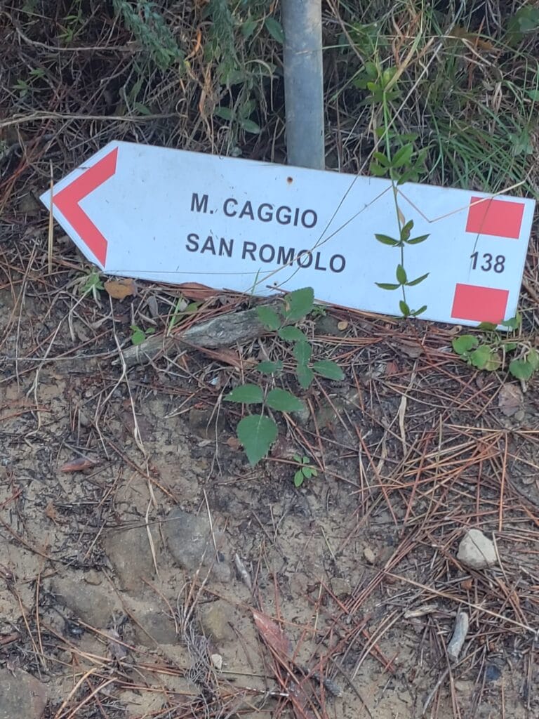
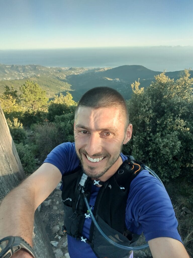
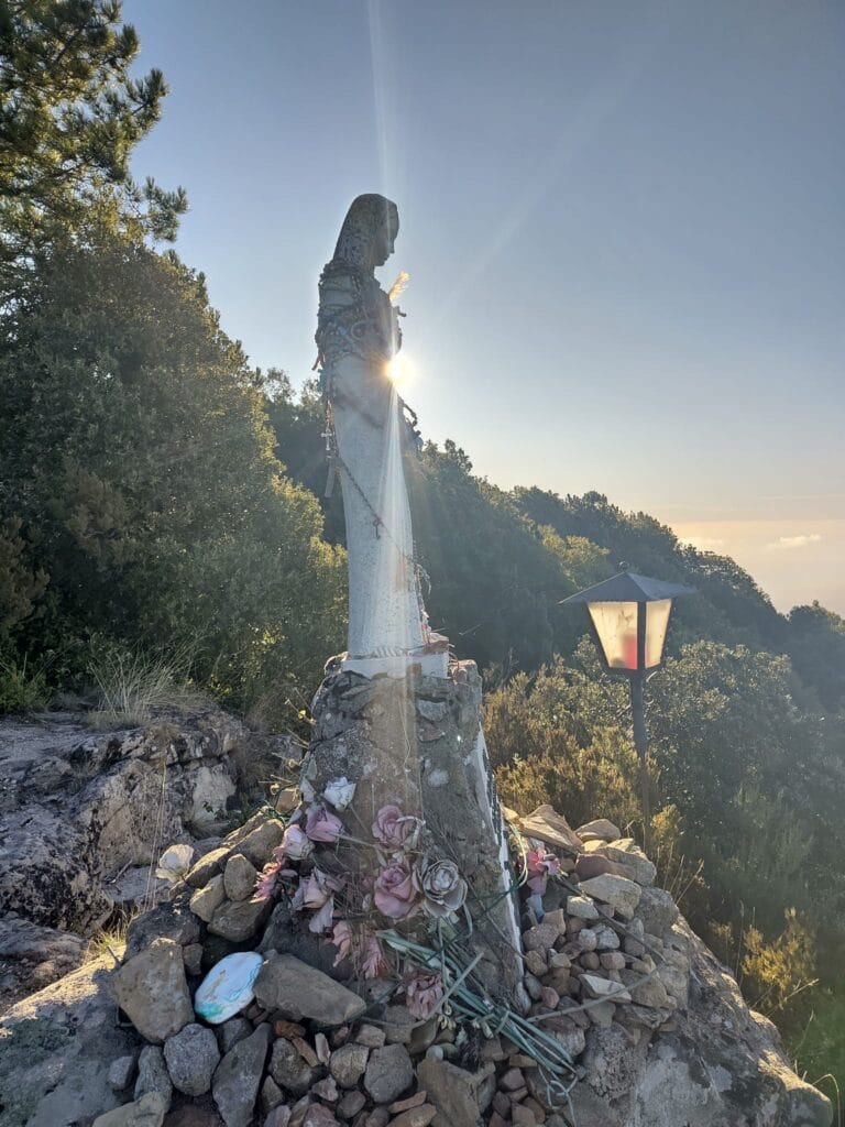
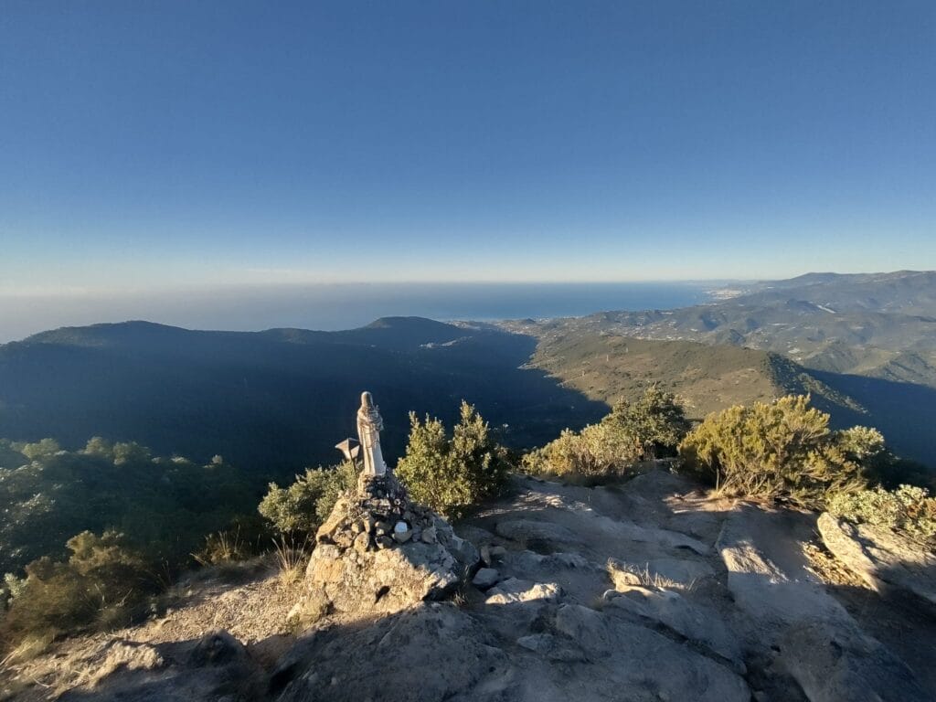
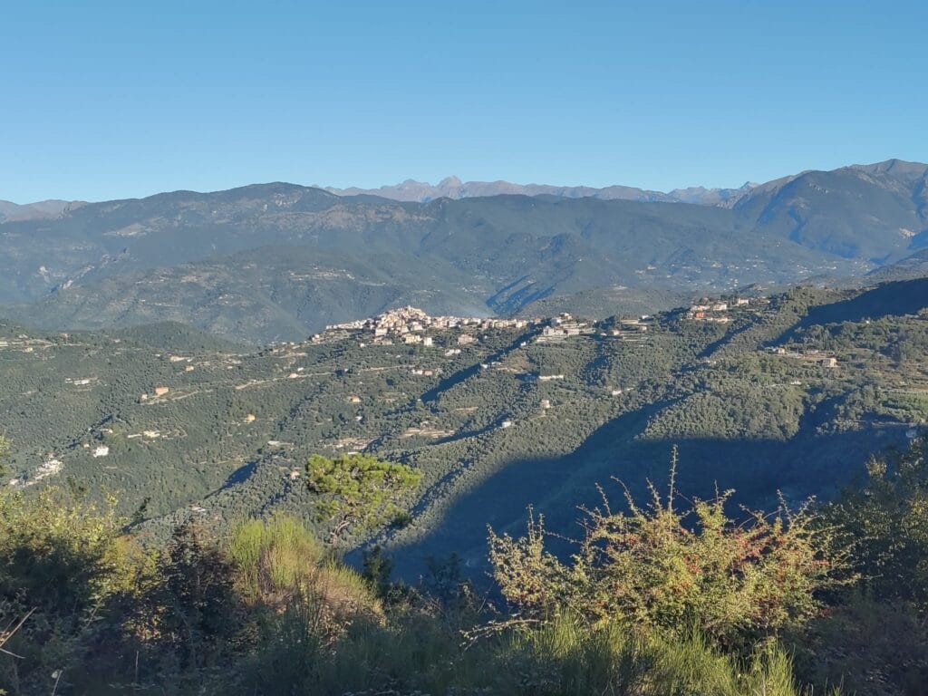
For the descent, follow the same path for 300-400m, then take the left-hand path down to the chapel of San Bartolomeo. The path is a little technical for the run, but the view is unobstructed and it’s really nothing but bliss. At the chapel, however, I wanted to continue on the path below Monte Peiga and down to the road and the hamlet of Negi… But I couldn’t find the path down to the road. So I returned to the chapel and followed the track and then the road back to Seborga.
- Distance: 12-13 kms
- Elevation: 700m +-
- Difficulty: average
- Duration: it took me less than 2 hours with breaks as I was running most of it, but double that on a hike.
Bussana Vecchia: The artists’ village
Before heading off to the Palm Riviera, we made one last stop in a village in the province of Imperia. Bussana Vecchia is a village with a rather peculiar history, as it is in fact a completely abandoned former village. In fact, it was almost totally destroyed by an earthquake in 1887. The area was deserted for almost 100 years, and it wasn’t until the 1960s that a community decided to move in.
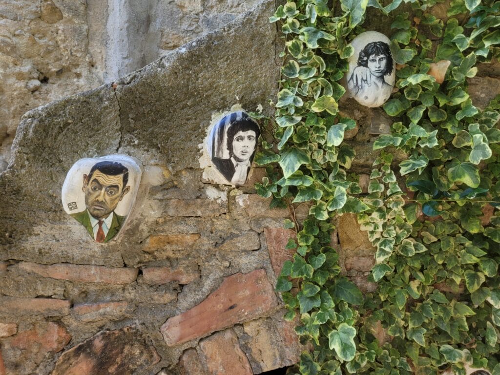
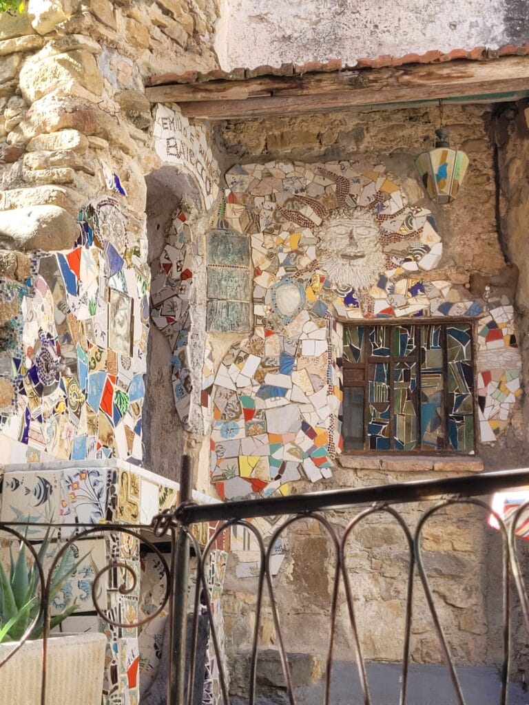
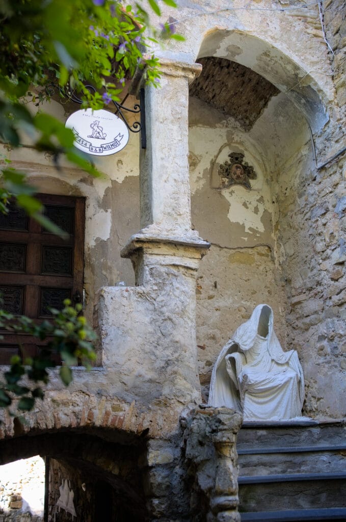
Since then, the village has given rise to much discussion and tension… Initially without running water or electricity, and with houses on the verge of collapse, the village was mainly rehabilitated by the artists. But the problem is that the artists have never officially owned the site, and the state is still demanding money from them to buy back the buildings. The place is an atypical tourist attraction, and it’s a delicate balance to strike.
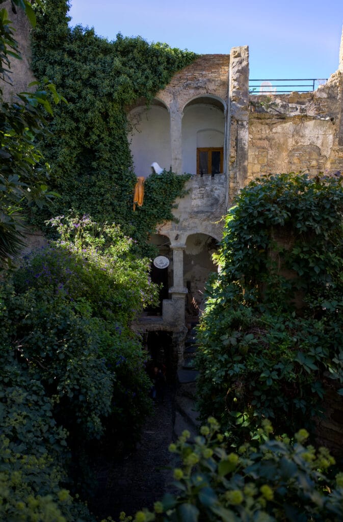
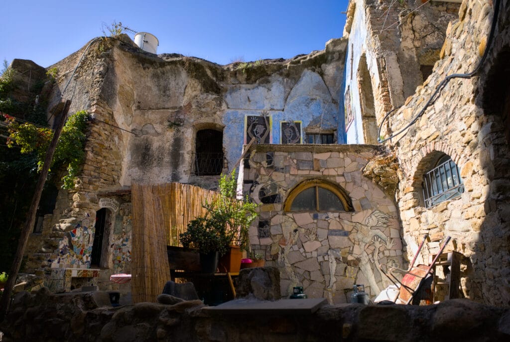
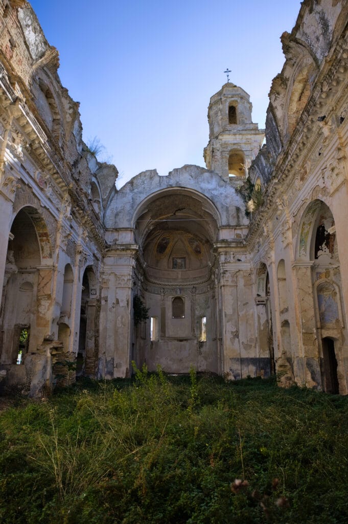
To find out more, take a look at this article published on the BBC website, which sums up the situation pretty well.
For our part, we really enjoyed the vibe of this village and the hundreds of details and works of art to be found around every corner. And let’s face it, you can get around it pretty quickly 😉
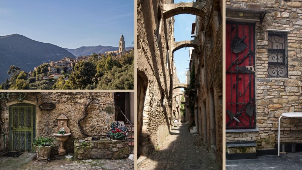
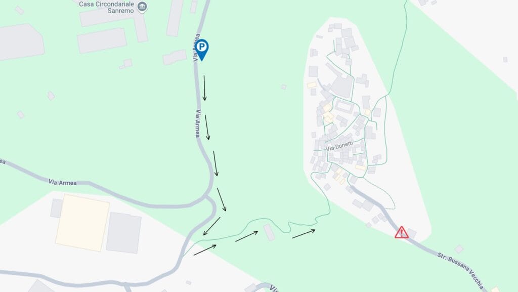
Please note that this village is 100% pedestrianized. There is a road that leads to the beginning of the village, but it is VERY narrow. The only option for parking is on the side of the road. Depending on your vehicle (and how busy it is) it can quickly become very complicated to turn around. With our van, we preferred to park below (along the Via Arma) and walk up a small footpath.
Colletta di Castellbianco
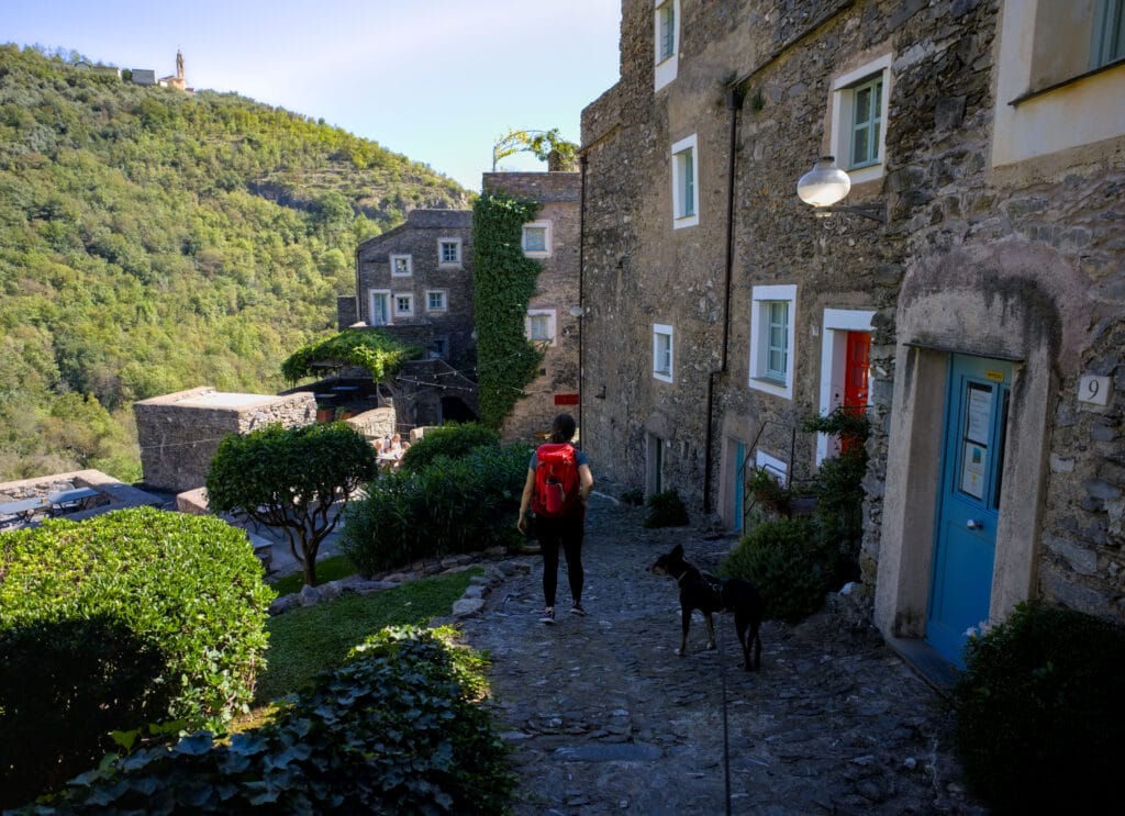
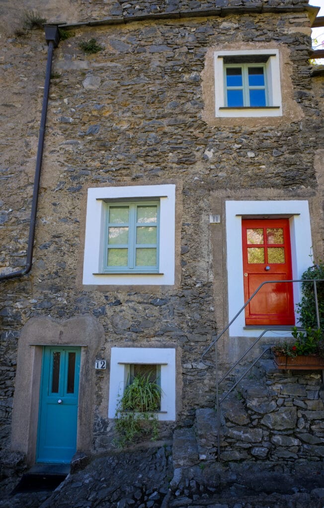
The small hamlet of Colletta di Castelbianco is unusual in that it was built 100% in stone during the 13th century. It was completely abandoned in the 1950s, but benefited from a restoration program launched in 1990. The abandoned village was completely restored according to the plans of architect Giancarlo De Carlo and, above all, connected to the rest of the world via a digitalization program. It’s funny to read this, but this tiny hamlet has been equipped with fiber to enable nomadic workers to move in.
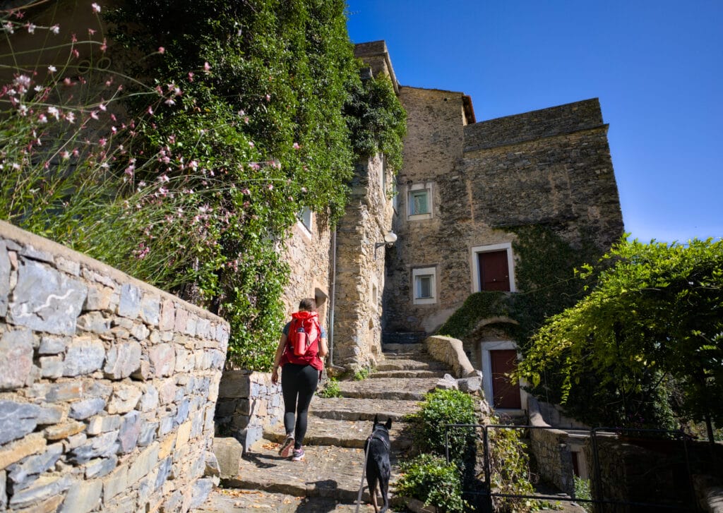
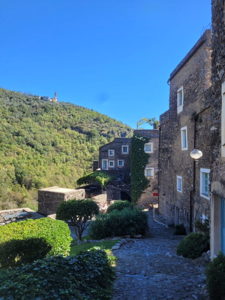
We’ll be honest, when we visited the village we didn’t get the impression that it was a nomad hotspot… To tell you the truth, apart from the terrace of the village’s only restaurant (and shop), which was packed with passing tourists, we didn’t come across a soul 😉 In fact, after a bit of research, it would seem that the village is mostly a place to find charming airbnbs… not so much locals.
Enoteca – a climbing spot for wine lovers 😉 in the Val Pennavaira
Benoit and I are far from being confirmed climbers, but it’s true that since we’ve been living in the beautiful Val d’Hérens, climbing has become a sport we enjoy. Anyway, during this roadtrip we packed our rope, harnesses and a few quickdraws, and looked at whether we could squeeze 1-2 climbing days into the trip.
For climbers, Finale Ligure is a bit of a Mecca for climbing in Liguria (more on that below), but there are also some nice spots in several other places. Near Colletta di Castellbianco, there’s one that particularly caught our eye: Enoteca. Located in the Val Pennavaira, this crag (meaning climbing spot) is surrounded by other, better-known spots such as Cineplex, Erboristeria and Terminal. But be warned, these are reserved for more experienced climbers looking for projects from 6B+ to 8B 😉
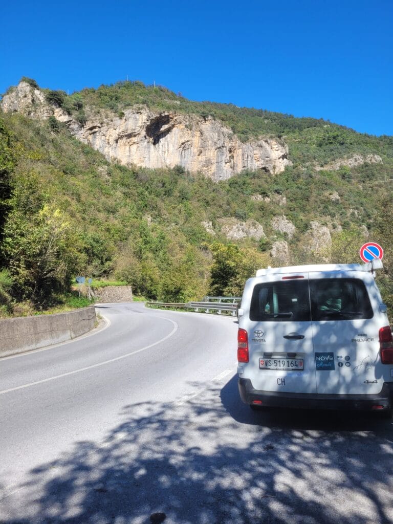
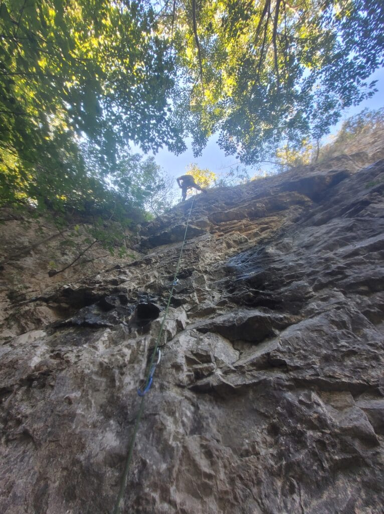
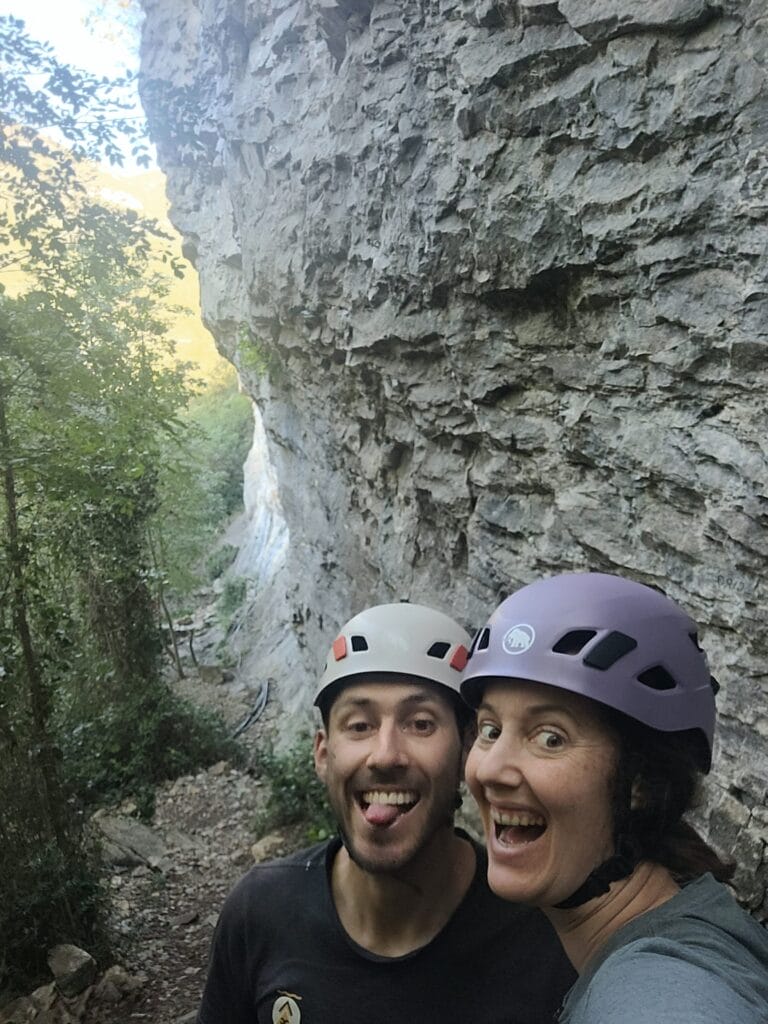
At Enoteca, there are 24 routes (all named after wine varieties) ranging from 5B to 7A. The spot can be reached in 15 minutes on foot from the parking spaces along the SP14.
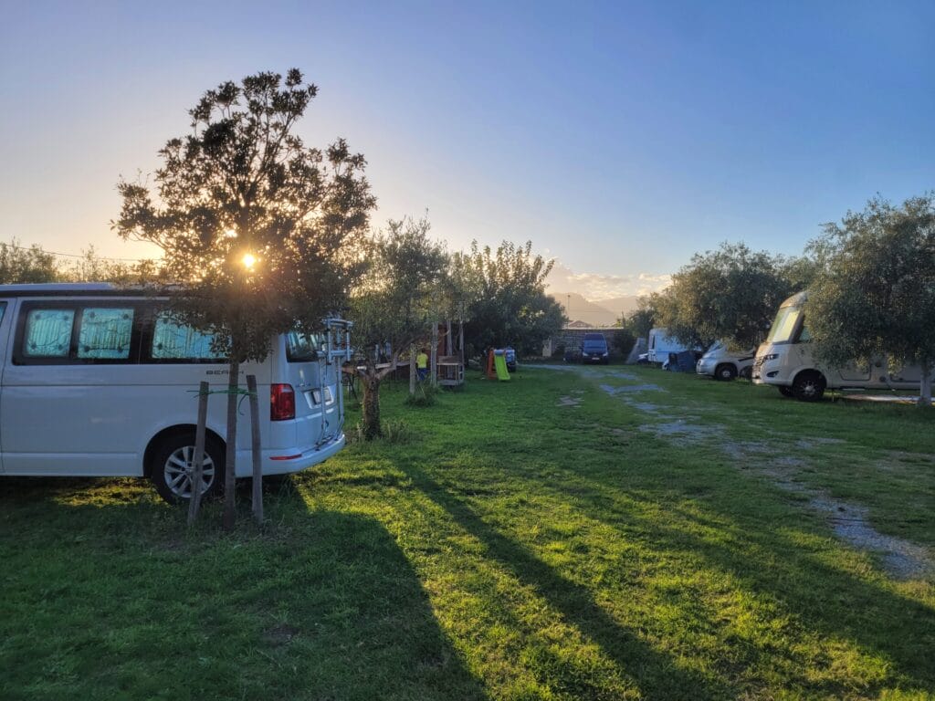
Between Colletta di Castellbianco and Finale Ligure we spent the night at an AgriCamper spot: Lo Zafferano.
We really enjoyed the experience, although it has to be said that the place is more like an unofficial campsite than a farm stay (there must have been around 20 vehicles on their land). You’ll find the spot in Park4Night (just north of Albenga).
Rates: if you use Park4Night, the rate is €20 per night (out of season, as we were), or €30 in high season.
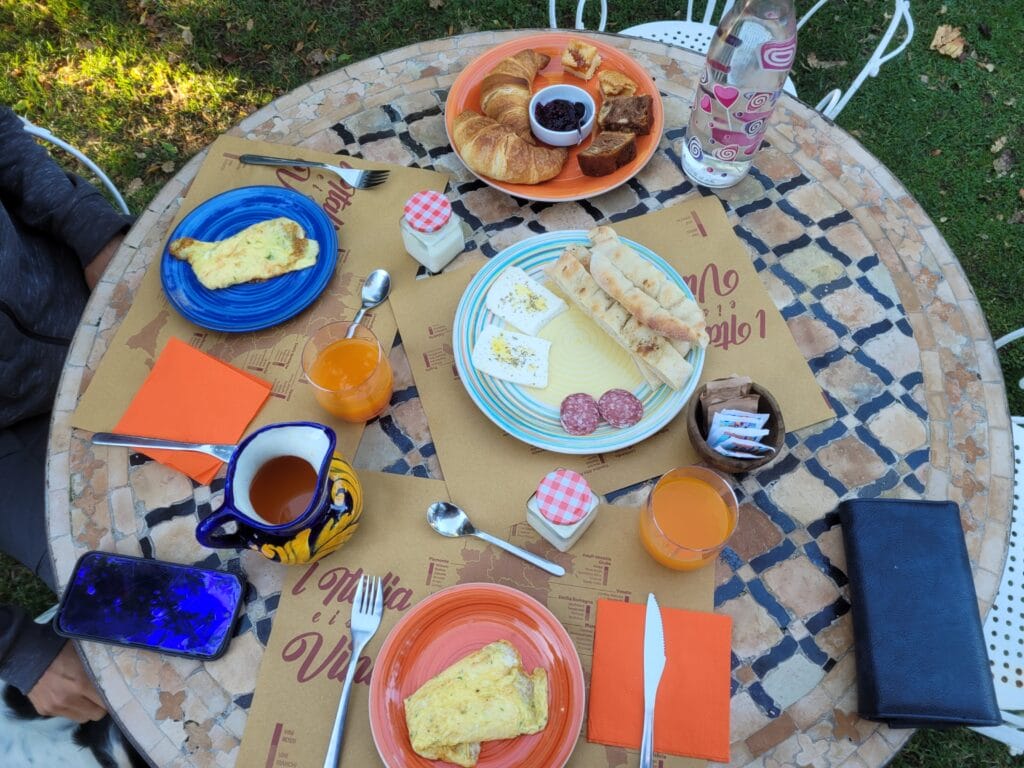
With the Agricamper app we simply paid 6€ for services (shower, WC, water, electricity). They also offer an incredible breakfast at 6€ per person, served in their garden!
Verezzi / Finale Ligure – THE climbing spot for beginners with a sea view
The next day, it was time for a second round of climbing, and this time we headed for Finale Ligure. Well, I say Finale, but in reality there isn’t just one sector in the area, there are over 200! In all, the Finale area boasts over 4000 climbing routes, so there’s no shortage of choice!
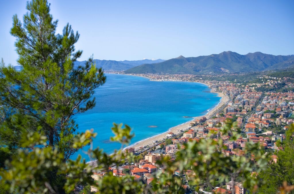
For this day, we set our sights on the Pozzo delle Cento Corde area near the village of Verezzi. The area is well known for offering routes suitable for climbers with little experience (there are 23 equipped routes ranging from 4C to 6B, with a vast choice of 5B+/5C routes). In the gym or in the company of more advanced climbers, we sometimes dare to take on slightly more ambitious projects, but when it’s just the two of us, we prefer to stay in our comfort zone (and not leave any quickdraws on the cliffs 🙂 ).
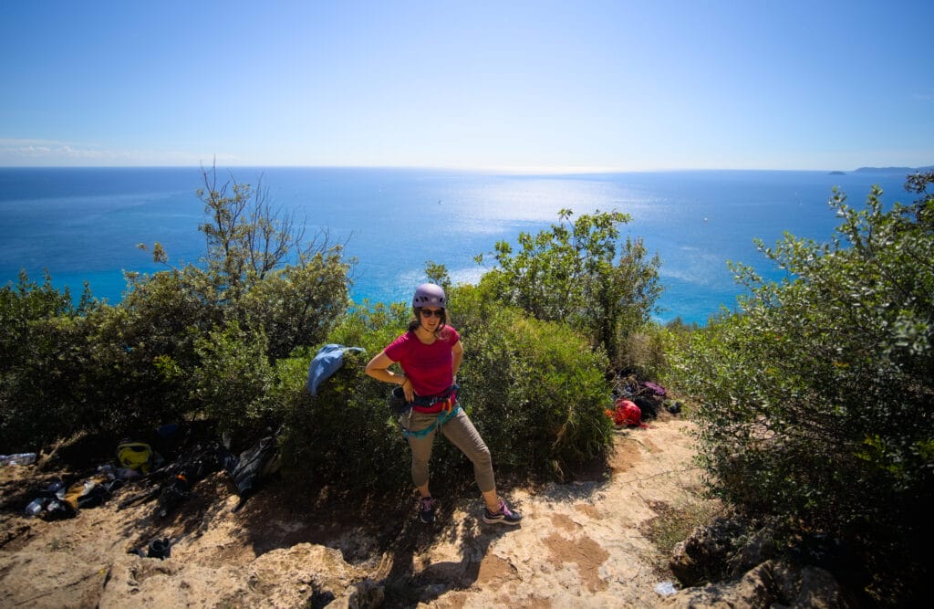
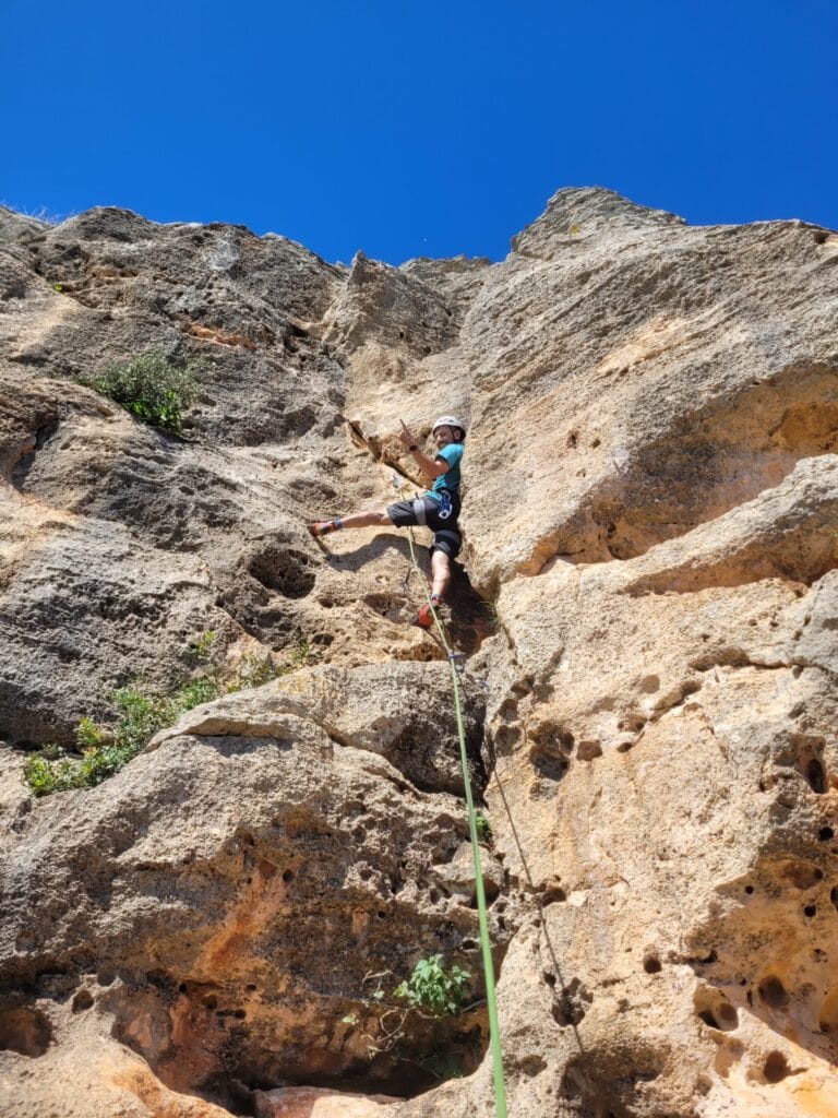
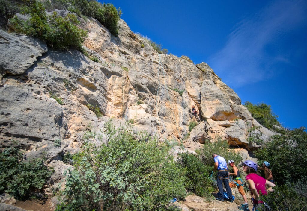
Pozzo delle Centro Corde is a truly magnificent spot, as absolutely every route has a breathtaking view of the sea. The spot can also be easily reached in around 15 minutes from the village.
PS : I look like I’m going to die in all the photos haha but I promise, climbing is fun!
Passo del Faiallo – Panoramic hike near Genoa
As the weather in Liguria deteriorated, we decided to head for Tuscany, but opted for a short scenic stop en route to stretch our legs (and the dog’s) at a scenic spot near the city of Genoa.
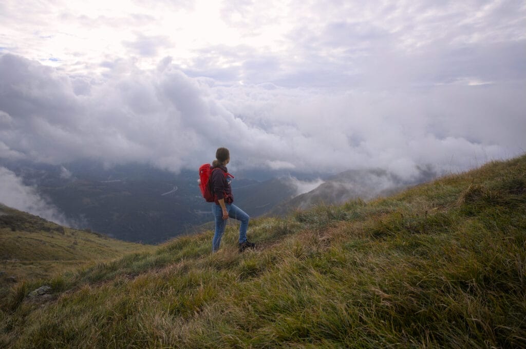
We’d spotted Passo de Faiallo as a spot where we could easily spend the night with our van, but also do the superb hike that follows the ridges overlooking the coast and the city of Genoa. Arriving at the very end of the day, we first spent the night in the small parking lot adjacent to a picnic area, and woke up the next morning ready to tackle this lovely 9km loop.
When we popped our heads out of the van, we were surprised to find that we were in thick pea soup… we couldn’t see for 50m! We looked at each other for a moment, but the dog was clearly up for a walk, so… we put on our rain jackets, slipped on our waterproof shoes and set off in the direction of the ridges without much hope.
As we went along, we still couldn’t see anything, but the light seemed to be improving. In short, we kept our fingers crossed that the clouds would lift, and after about 30 minutes we began to catch a glimpse. Just goes to show, having a dog can be a good thing! Because clearly, if it hadn’t been for Winchy’s puppy eyes, we might never have set off that morning. 🙂
The further we climbed, the clearer the sky became. Just as we reached the viewpoint after the Refugio Argentea, the sky was almost completely clear!
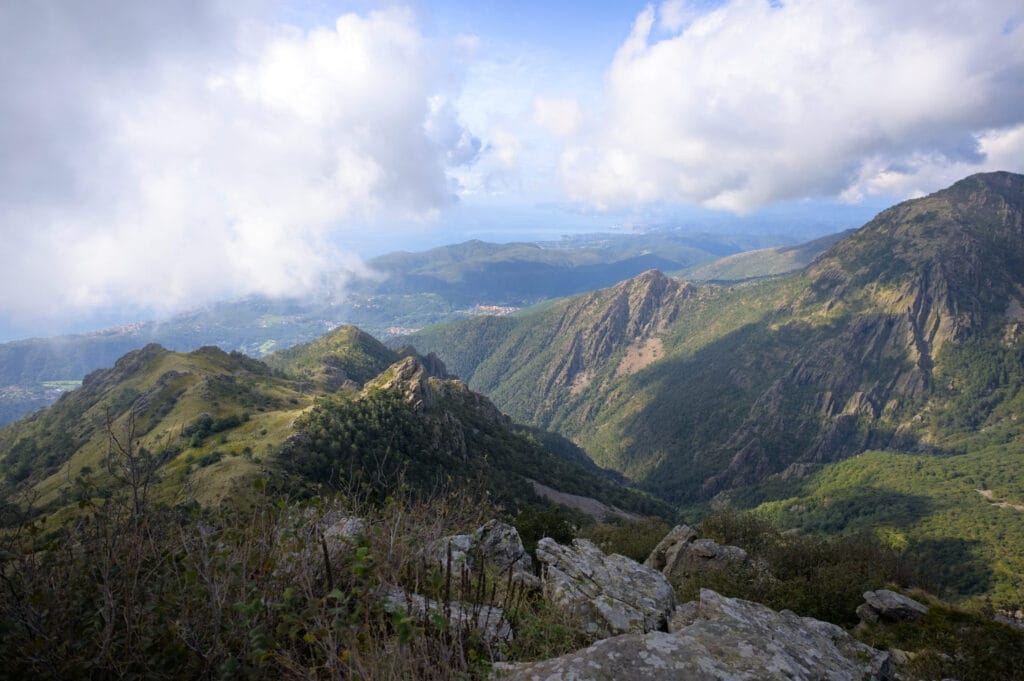
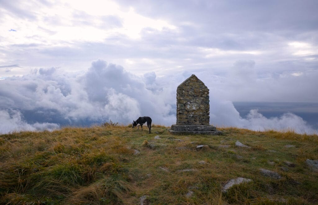
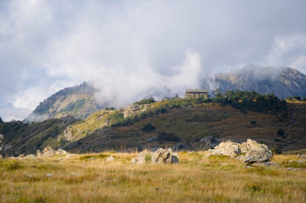
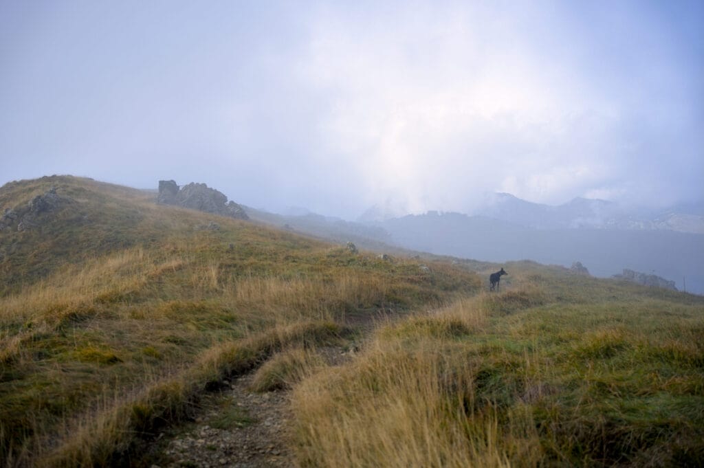
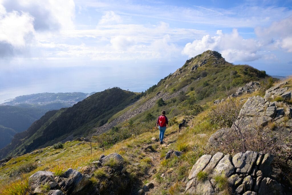
Things soon turned sour again, and we arrived at the van just before the rain started! Absolutely perfect timing haha
We really recommend this itinerary if you’re in the area! The loop is about 9km long, with a 300m ascent, and offers a magnificent view over much of the Italian Riviera! In terms of difficulty, it’s a really easy itinerary that presents no difficulties whatsoever.
And what about the Cinque Terre?
Rha là là… It wasn’t for lack of trying to get to the Cnique Terre 😉 I’ll admit it, when we were planning our road trip we wondered whether we should go or not. We were a bit worried about the crowds and the high prices of the campsites, but in the end it was the weather that decided otherwise.
The Cinque Terre wasn’t a particular objective of this trip, but we clearly thought that even if we were in the region (and a little out of season), it would be a shame to miss out. In short, we had planned to go there after our hike to the Passo del Faiallo. It wasn’t until we checked the weather forecast (40mm of rain a day for 3 days, non-stop) that we decided to head straight for Tuscany, where the skies seemed a tad more clement. Our idea at the time was to stop there on the way back…
Needless to say, when we went back up a week later, the forecast wasn’t much better and we finally decided to return 4 days earlier than planned from our vacation and skip the 5 lands.
NB : we did damn well… the images of the floods we saw afterwards made us realize that we’d clearly made the right choice! In short, the Five Lands were not for this time 😉
Sleeping with your van in Liguria + driving
Before finishing our article, I wanted to write a few lines about the van trip to Italy. Before we left, we had vaguely tried to find out how easy (or not) it was to find wilderness spots, and as is often the case, we found everything. Quite frankly? I think that, as in many places, it’s just common sense! The closer you are to the coast and/or tourist spots, the more prohibitions there are… and the further away you are, the easier it is 😉
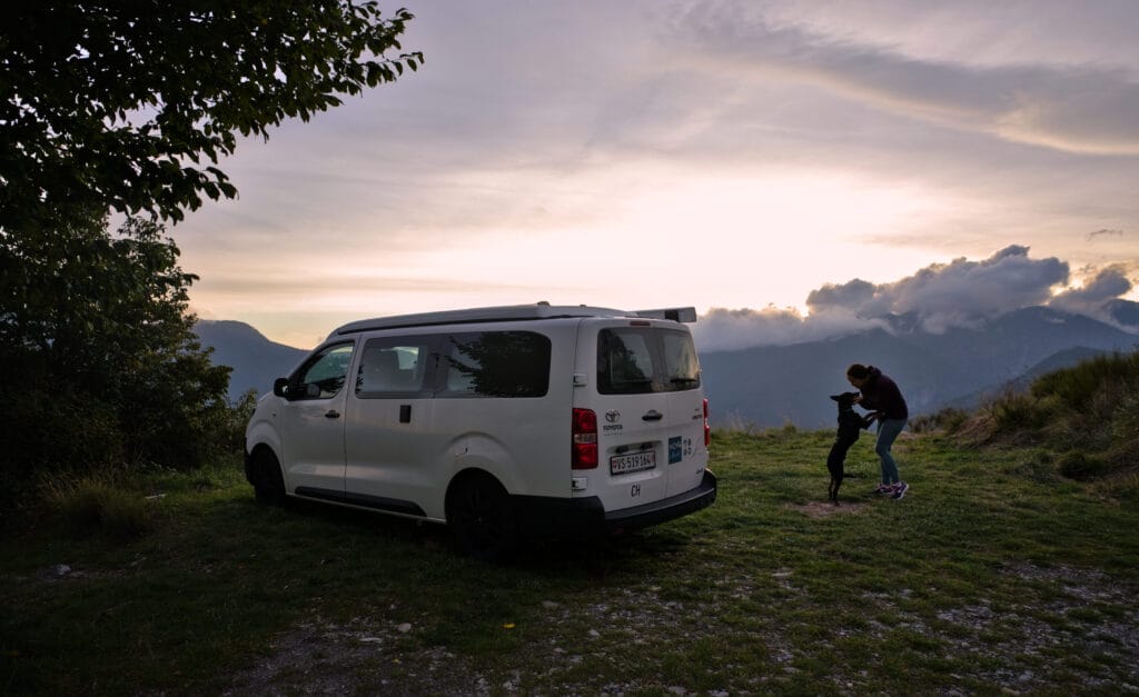
On this road trip, we did a mix of nights in the wild (mainly in mountain regions a little off the main tourist routes), 1 night camping near Dolceaqua and a few nights on farms. Before our departure, we had downloaded the AgriCamper application recommended by our friends Péripléties. It’s a great app, and we had access to some very nice spots!
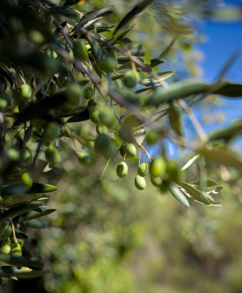
It should be noted that all the places featured on the app are also visible on Park4Night (although sometimes the conditions are a tad different). But basically, the principle of agri-tourism is that you can sleep for free and in exchange you consume/purchase the products of the farm. Suffice it to say that both the winegrowers and the olive oil producers didn’t need much prodding to consume locally 😉
Here are a few extracts from our life in the van during these 2 weeks:
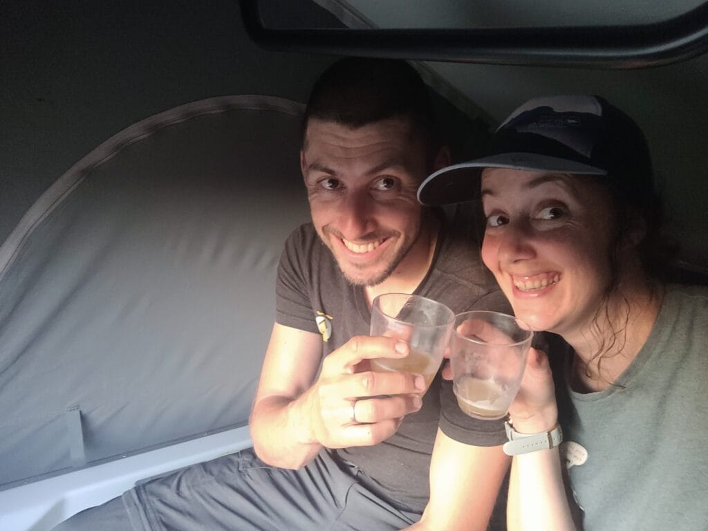
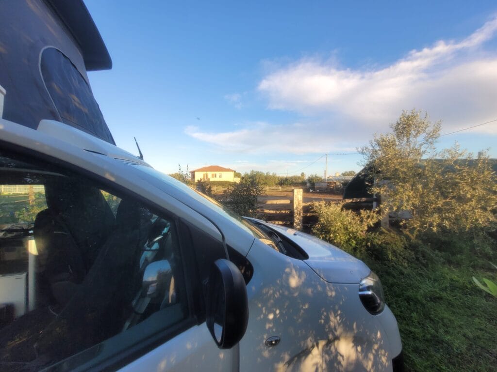
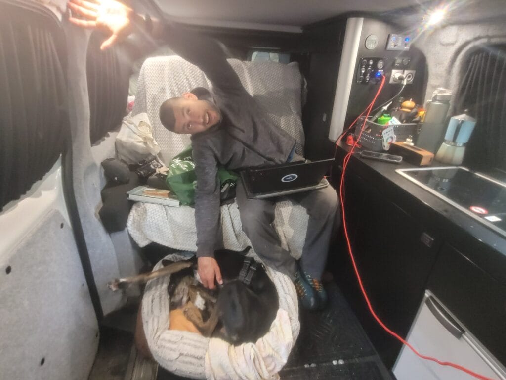
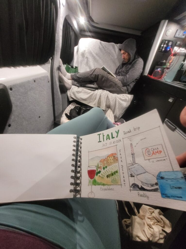
If you’re looking to rent a van, we recommend that you take a look at the Yescapa rental site. In our opinion, it’s the best way to find the right van for your needs on a reasonable budget (and with all the necessary insurance).
On Instagram and Facebook we also received a few questions about driving in Italy. I’ll be honest, I had some pretty epic memories of driving around the suburbs of Milan in my little car when I was a student 😉 So I’m not going to speak for the whole of Italy, but in Liguria and Tuscany we found driving really pleasant and not at all stressful. After all, we clearly weren’t on the outskirts of big cities, but I think it’s the same as everywhere else (in France, for example, I wasn’t very confident around in the center of Nice or on the Paris ring road).
After that, the only thing to bear in mind about Liguria is that as soon as you get away from the coast and venture into the small mountain villages, the roads become winding and sometimes VERY narrow.
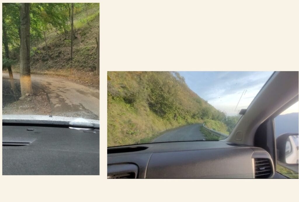
We covered many kilometers on mountain roads where we were clearly praying not to pass too many people 😉 With a van I think this passes without worry, but it’s something to keep in mind if you have a larger vehicle. But for that, we found the directions given on Park4Night to be quite useful (the narrow roads were mostly to get to sleeping spots in the wilderness or hiking trails).
Map of our Liguria itinerary
To conclude this article, we’d like to offer you a visual overview of our route. We made a lot of little stops along the way, and no doubt if you come to the region you’ll do the same. Whether it’s for an ice cream, a drink on a lovely terrace or just a stroll through the narrow streets of a small village 😉
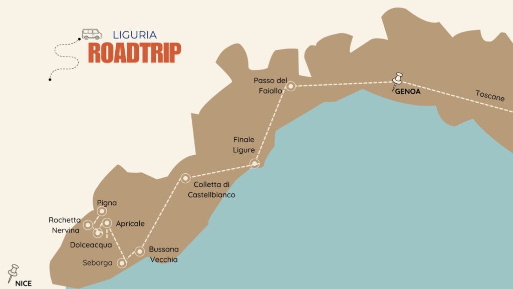
We hope you’ve enjoyed this article, and especially that it’s given you some ideas for a road trip in Liguria. 🙂
We look forward to seeing you soon for the next part of our road trip, but this time we’re changing regions and heading for Tuscany! 🙂 We hope you enjoyed this article. For us, Liguria was the best surprise of the year. We clearly fell in love with this region, which perfectly combines Italian dolce vita, pretty villages and mountainous landscapes offering endless hiking and climbing possibilities!
Pin it
Join the discussion