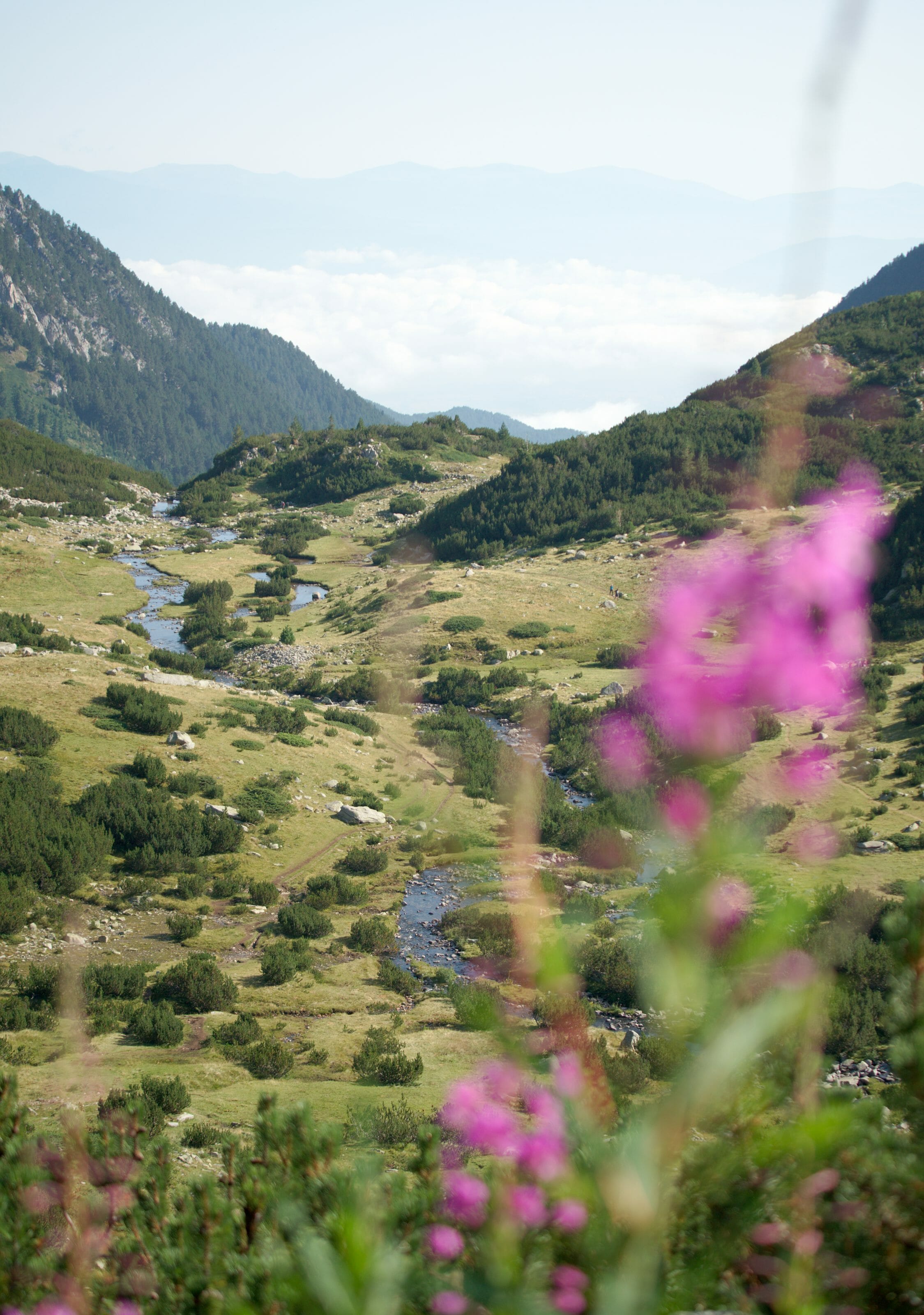
We chose to settle in Bansko in Bulgaria for 1 month in the summer of 2019 because we had heard a lot of good from the coworking Bansko and the community of digital nomads and entrepreneurs who have been living there for a few years (¨we plan to write an article about it soon. Update: article can be read here). But beyond that, the second point that tipped the balance in Bansko’s favour is its ideal location at the foot of the Pirin National Park mountains. If you read us regularly, you know that we have a certain interest in hiking! So having such a playground right next to our office for a while immediately convinced us!
Pirin National Park: where is it, what is it?
Pirin National Park, which is a UNESCO World Heritage Site, actually encompasses all the Pirin Mountains, located in southwest Bulgaria just beside the village of Bansko. It includes Mount Vihren, which is the 2nd highest peak (2914m) in Bulgaria after Musala, which is located nearby in the Rila Mountain Park. Pirin national park is a real paradise for hiking enthusiasts like us. There are no less than 118 glacial lakes, several mountain huts where it is possible to sleep and about twenty signposted routes.
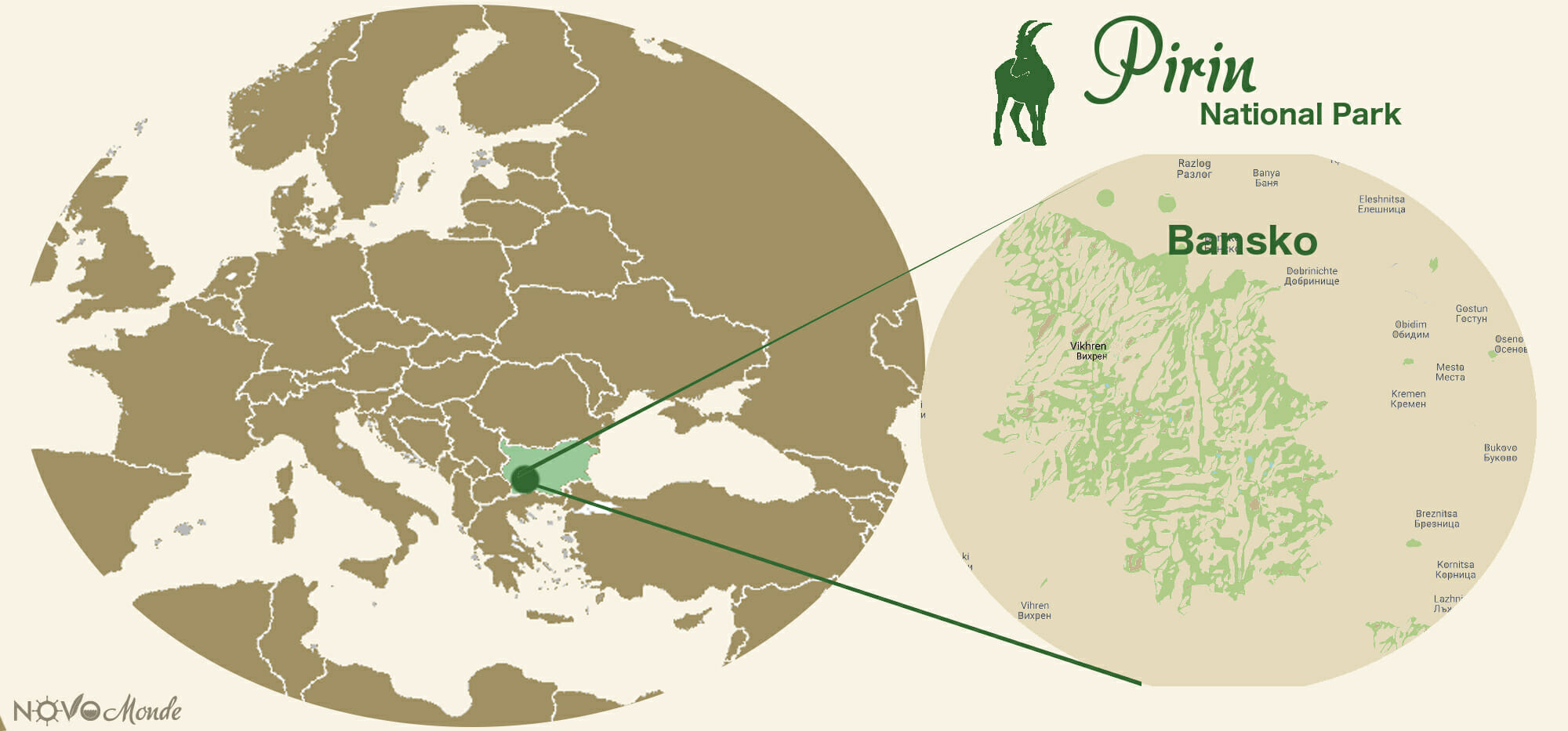
About Bansko, despite the regulations of the Pirin National Park, skiing has developed significantly since the 1990s and has been eating up land in the park area (but that’s another topic). Today Bansko is an important ski resort with no less than 13 facilities and about 80 km of slopes.
But well, maybe we’ll talk about skiing again some other time in Bansko (it’s not impossible that we’ll come back to work here during winter 😉 )… But this time, we made the most of the Bulgarian summer and the beautiful weather we had to discover the Pirin National Park with our legs. Without further delay, here are 2 beautiful day hikes that will make you discover the Vihren peak and the famous Koncheto ridge (we will still write an article about the cool 3 days and 2 nights hike that we also did in the park testing the bulgarian huts)
hiking to the top of Vihren peak and return by the lakes
Useful Infos
- Distance 8.7kms
- Elevation change +- 950m
- Difficulty medium
- Duration 4-5h
- Start Parking lot in front of the Vihren hut
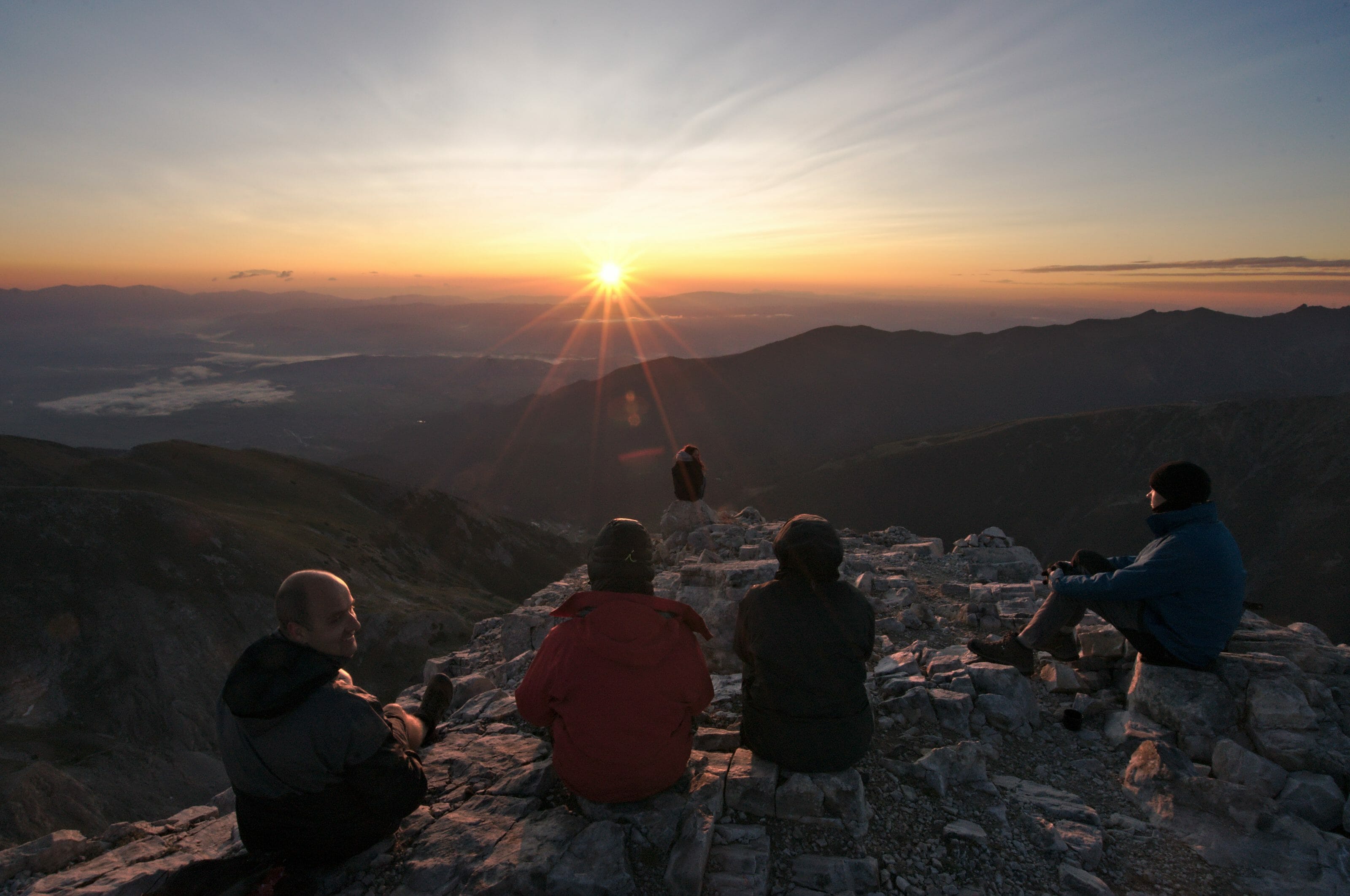
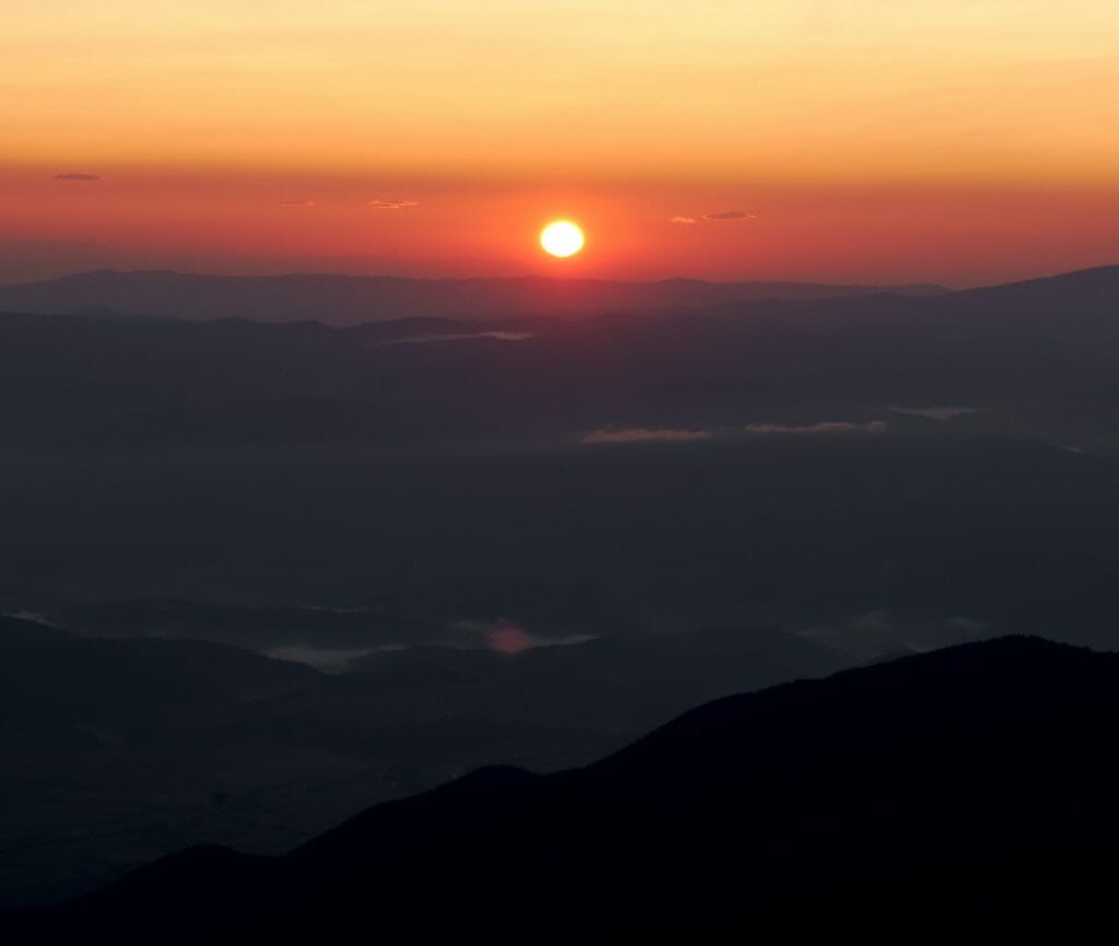
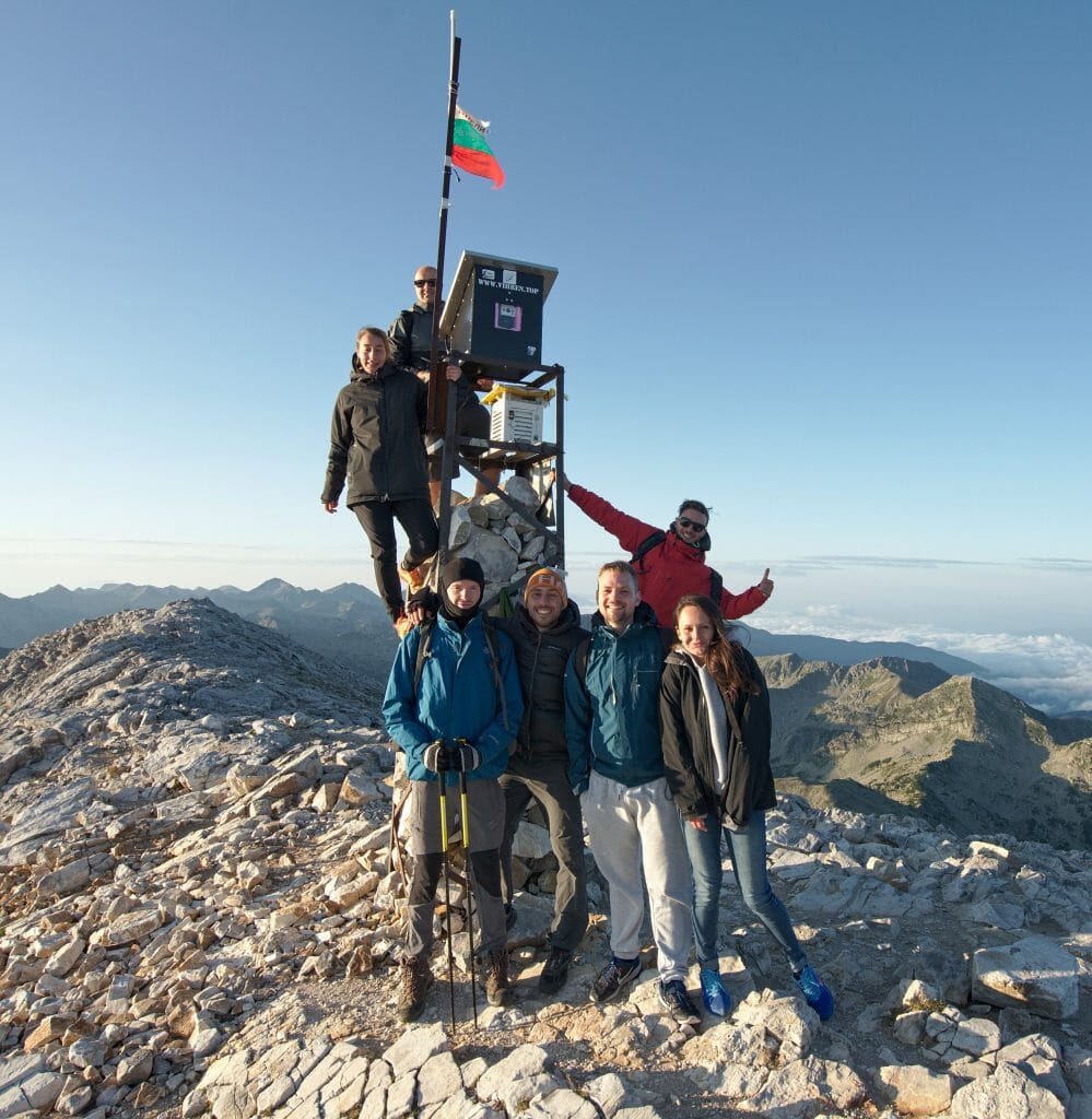
Here is a very nice loop that will take you to the top of the 2nd highest peak in Bulgaria from its southern side (the easiest side). We loved this hike so much that we did it twice 😉 (including once with a night ascent to enjoy the sun rising from the top of Vihren).
The path that leads up to Vihren peak starts in front of the hut on the right (just behind the refreshment bar)…. As you can see on the elevation gain curve, there is not much time to warm up because it climbs up well from the beginning… So you have been warned! In addition, the trails in the Pirin National Park are very rocky so if you have hiking boots with you it’s the best (we didn’t have any so it also works without but well…).
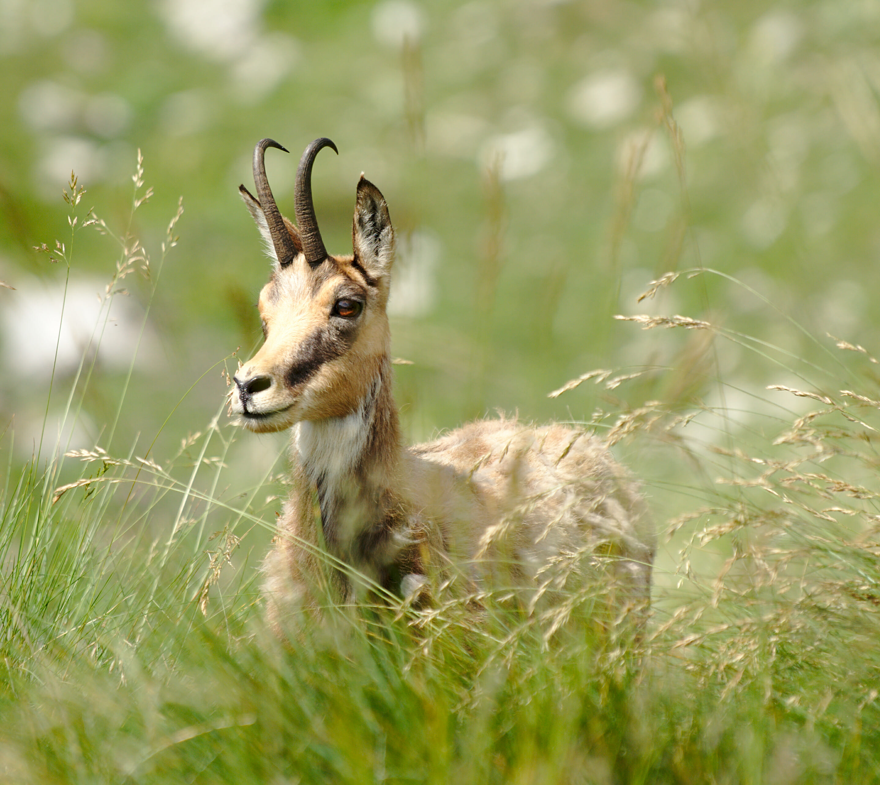
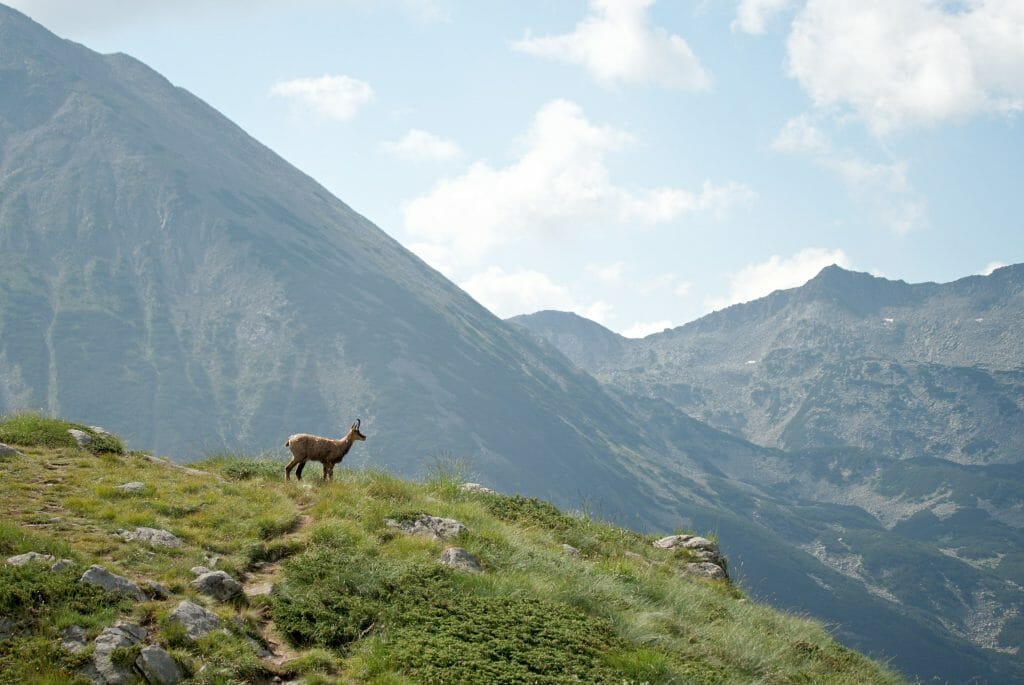
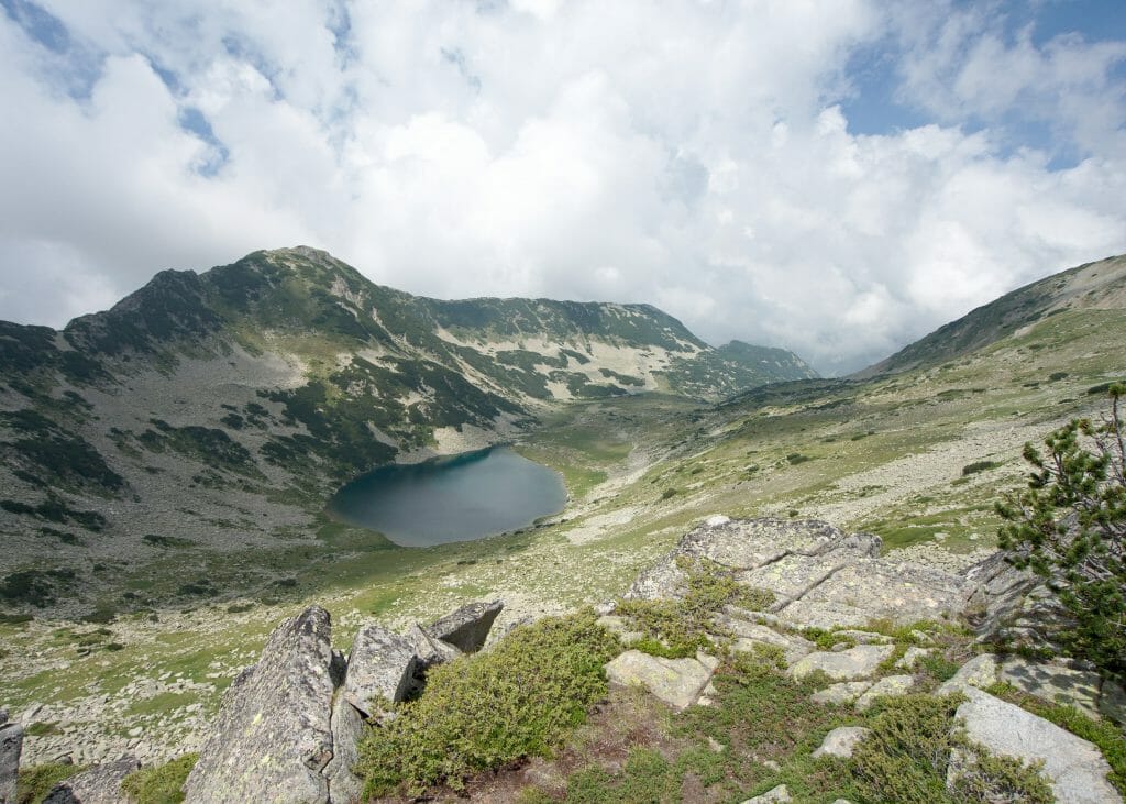
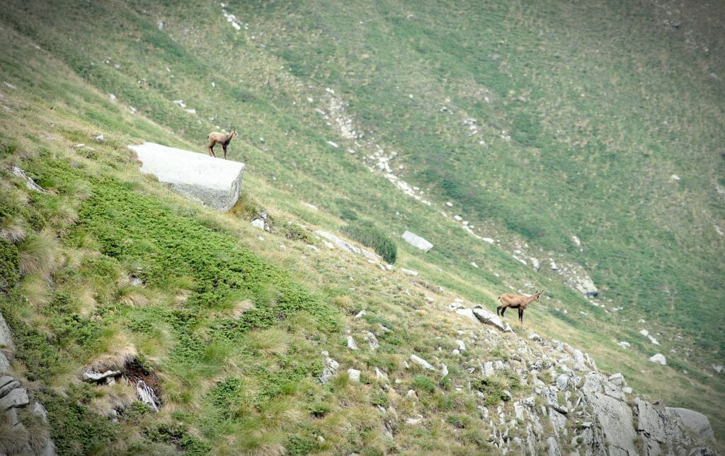
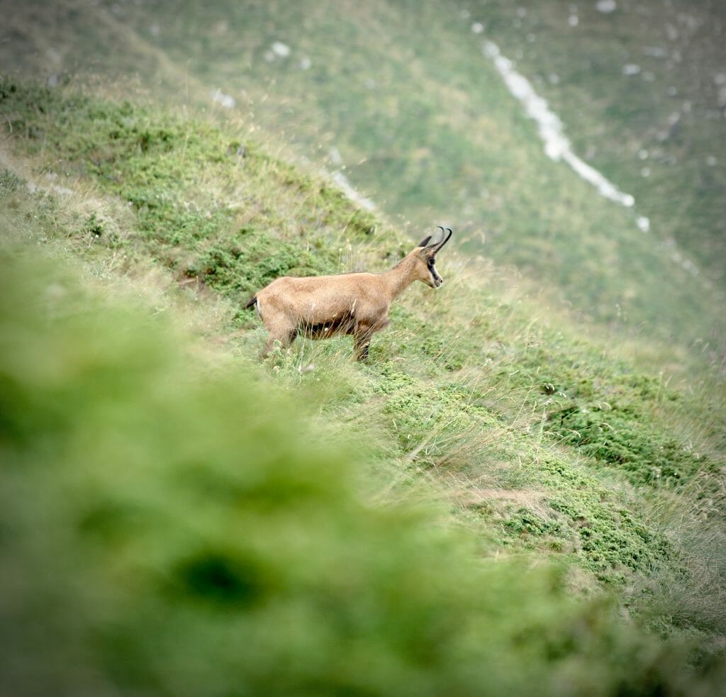
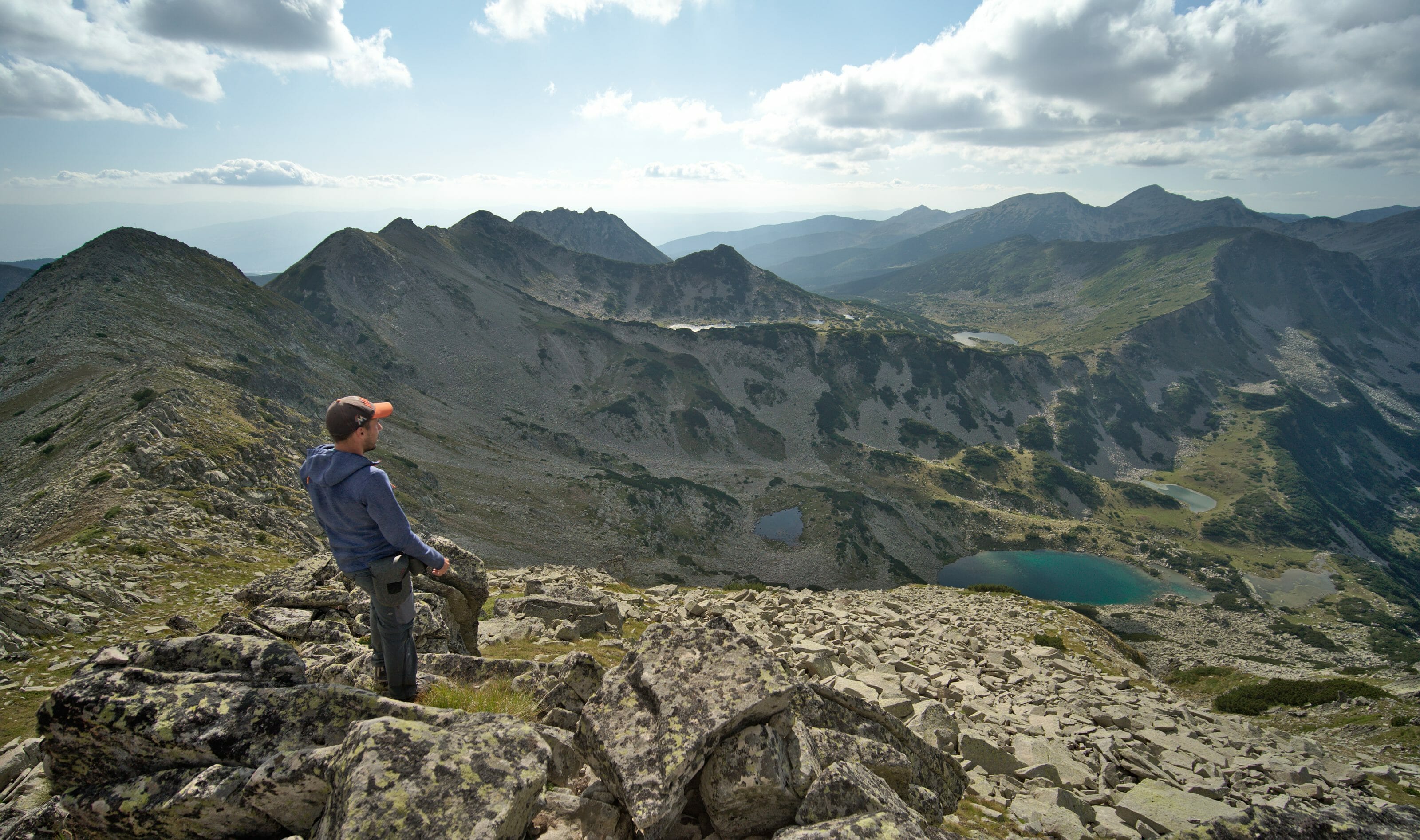
After maybe 20 minutes of climbing, you will arrive at a river and a crossing just after. If you don’t have a lot of water with you, it’s time to drink and fill your bottles because you won’t see a stream for a long time. We continue to go up on the left at the crossing (we will take the right path for the next hike). Keep your eyes open because every time we have passed through this area we have seen chamois. The trail continues to a pass that offers a very nice panoramic view of several lakes below (allow 1h30-2h to reach the pass).
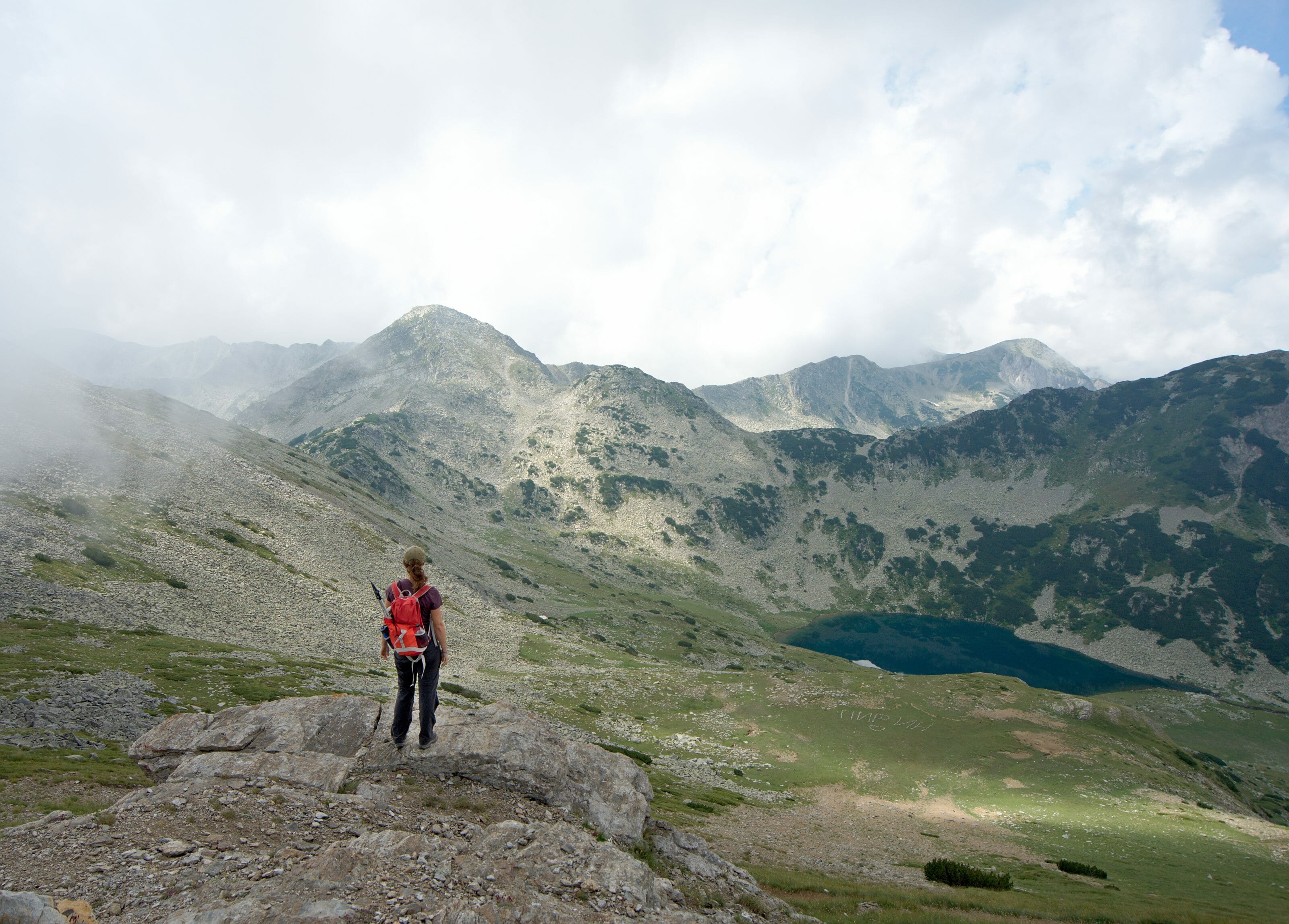
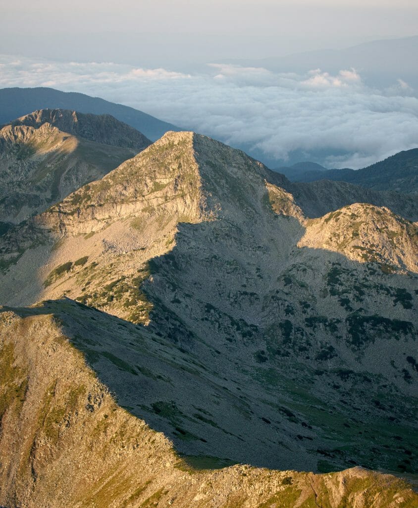
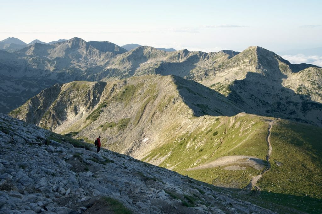
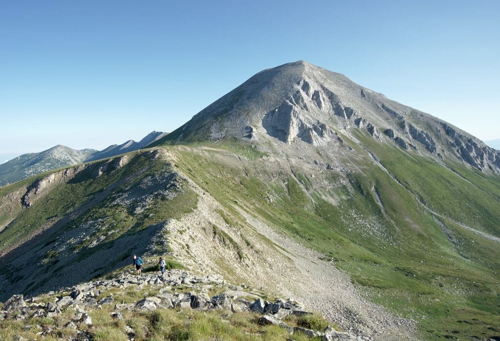
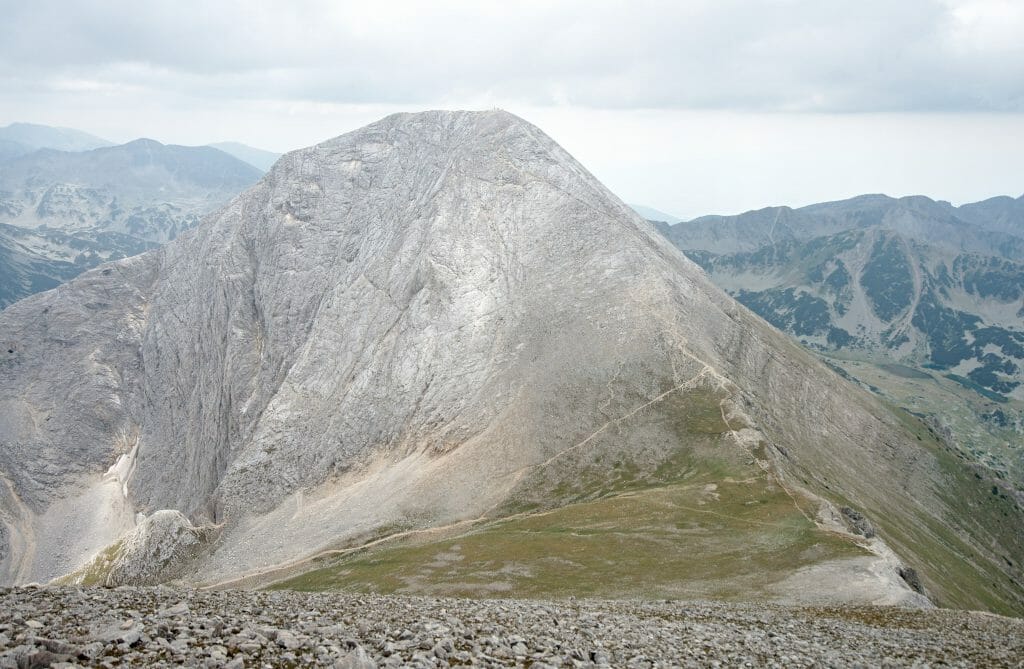
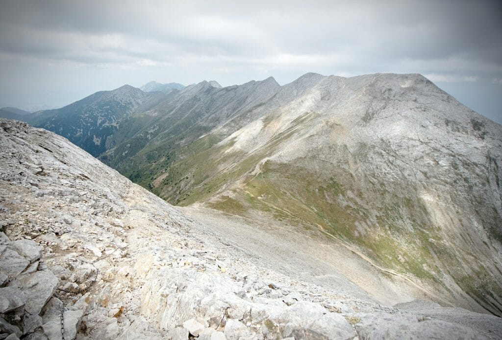
After the pass, turn right towards the summit of Vihren. At night the path was not easy to follow… but honestly nothing forces you to follow the path. This side of the Vihren is very rocky but not too steep and you will quickly reach the summit following one of the many trails (count 30-45 minutes by day and by night). From the summit you will have a magnificent view of the whole Pirin national Park, the Kutelo and the Koncheto ridge, which we will talk about later on.
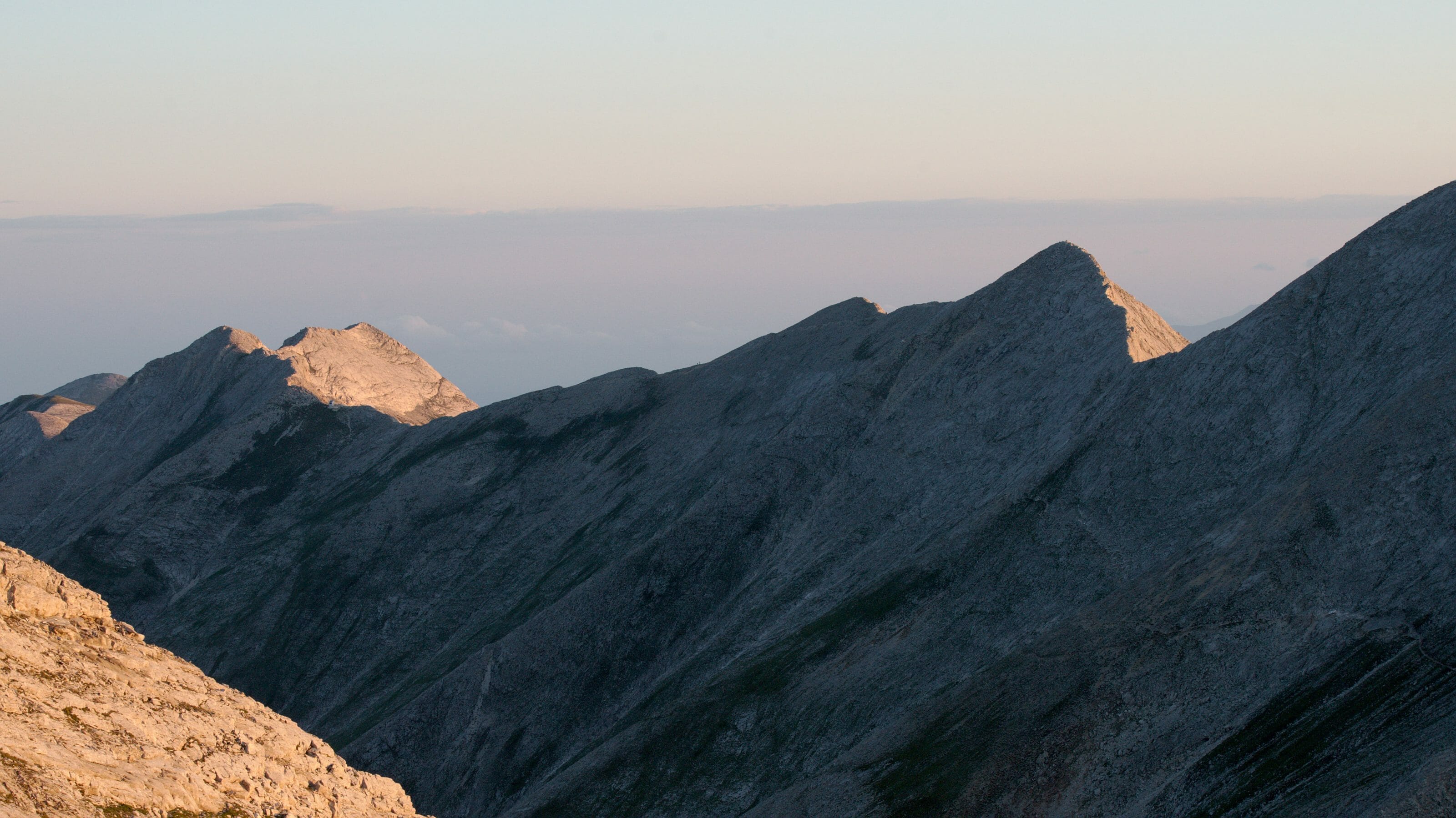
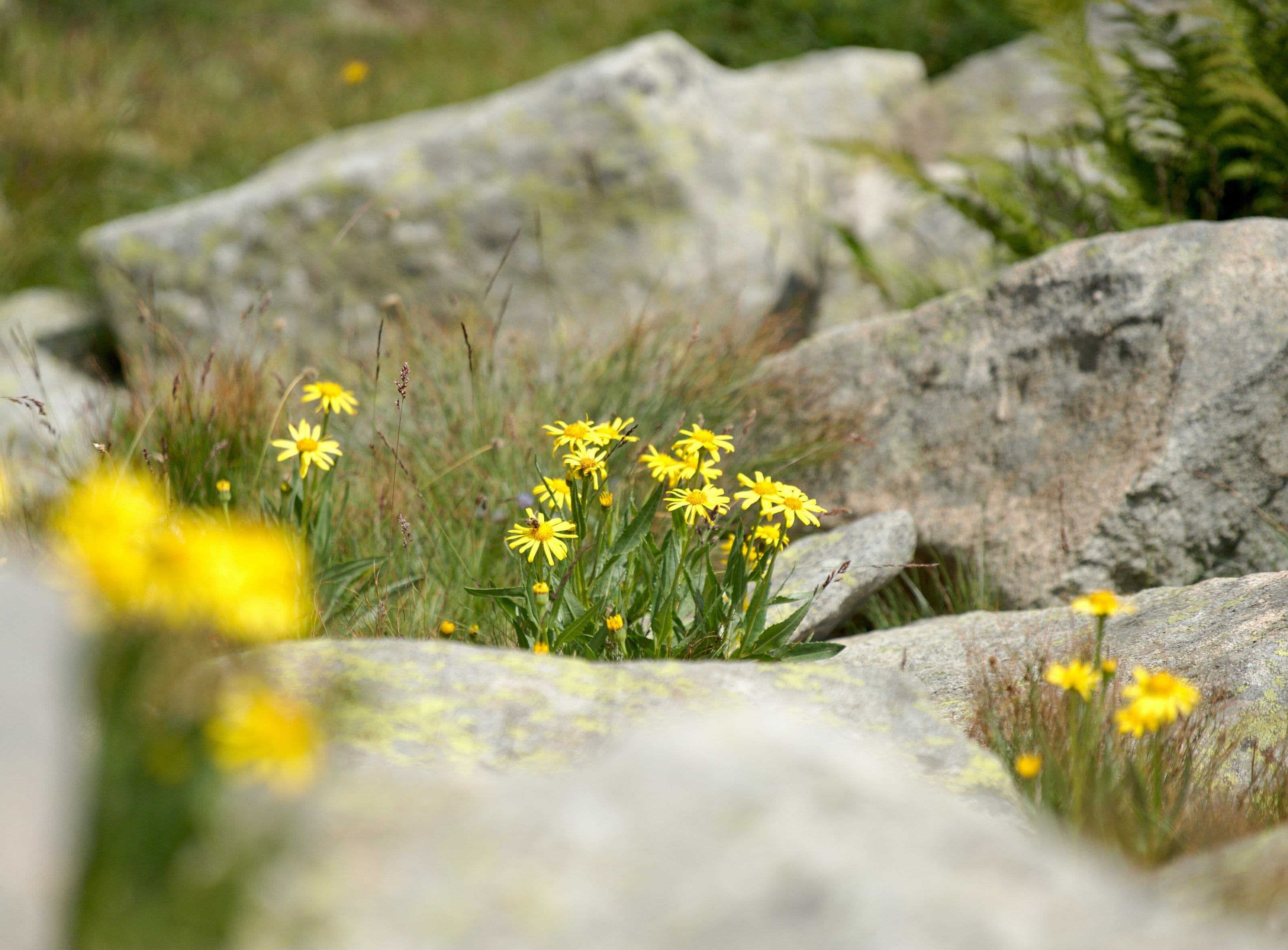
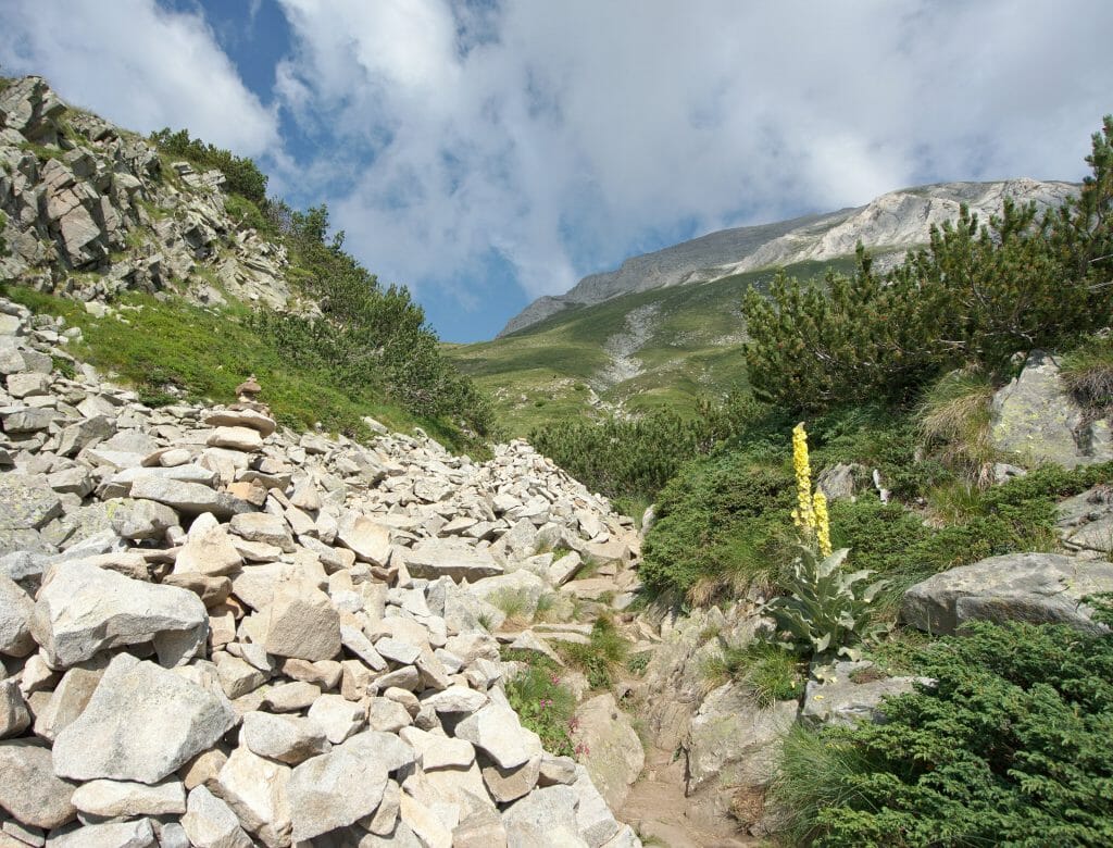
After enjoying the view, go back down to the pass. Here you can either return to the hut by the same route as the way up or make a loop through some pretty lakes. I prefer to warn you, the path that passes by the lakes, even if it is not difficult, is not really marked out and it is more a question of following the cairns (or simply the trace on maps.me 😉 ).
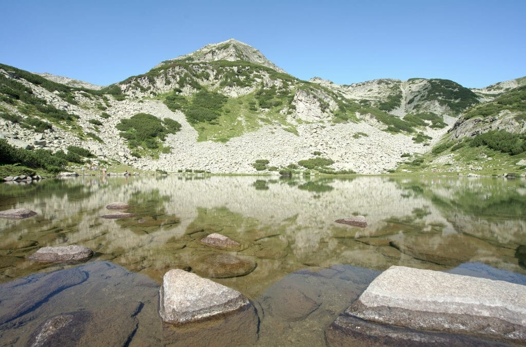
First go down a little towards the lake on your right (without going down to the bottom) then go up to a small pass on the left from where you will have a nice view of 2 other lakes on the other side. Follow the trail to the right at the pass and then quietly descend towards the nearest lake (from the pass, the trail is not too difficult to follow).
After a contemplative break at the lake (which is really beautiful, by the way), all you have to do is follow the path along the river that goes down to Vihren hut. It takes about 45 minutes from the lake.
Hike the Koncheto ridge and the north face of Vihren peak
Useful Infos
- Distance 13kms
- Deniv. +- 1420m
- Difficulty Hard
- Duration 6-8h
- Départ Parking lot in front of the Vihren hut
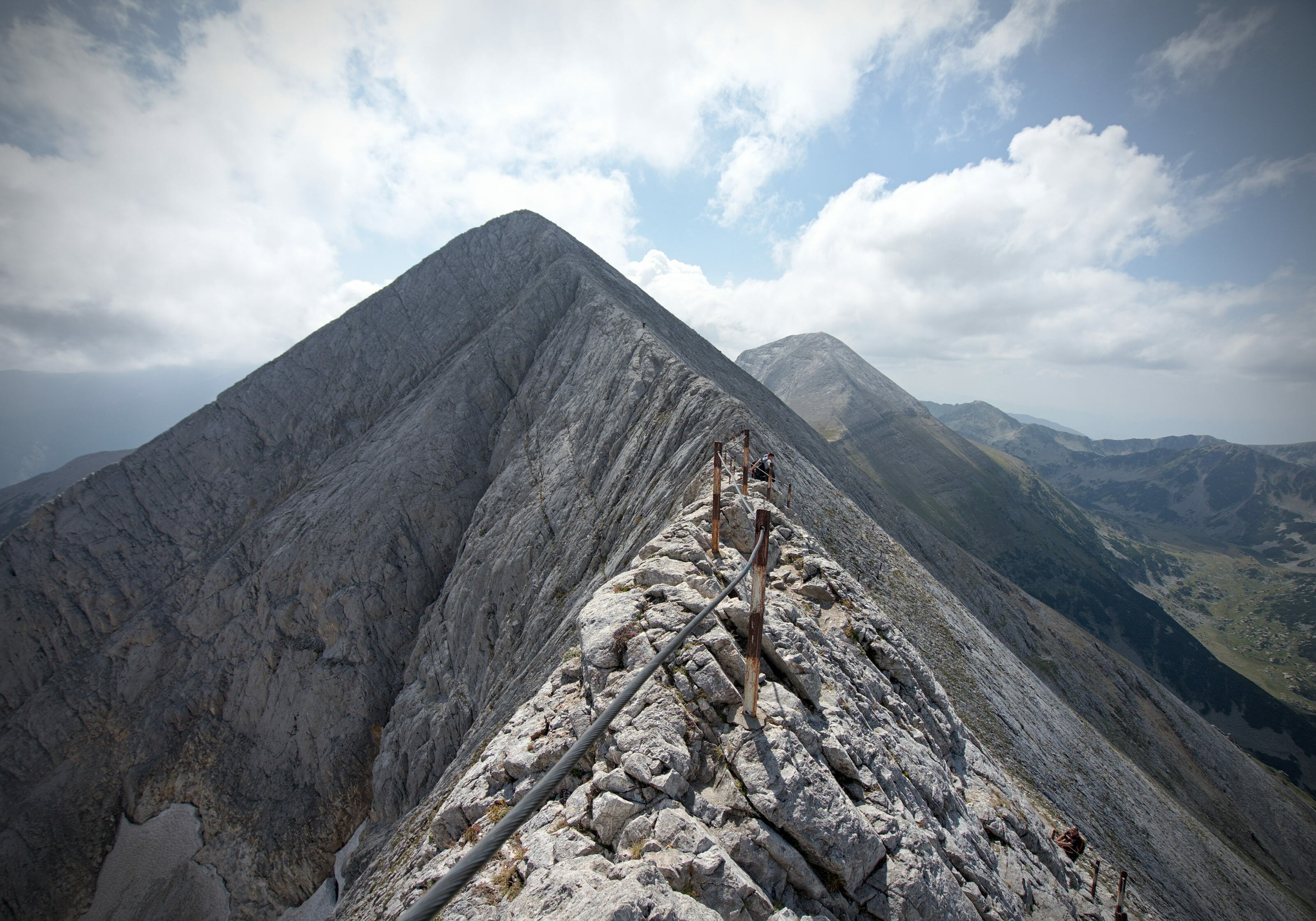
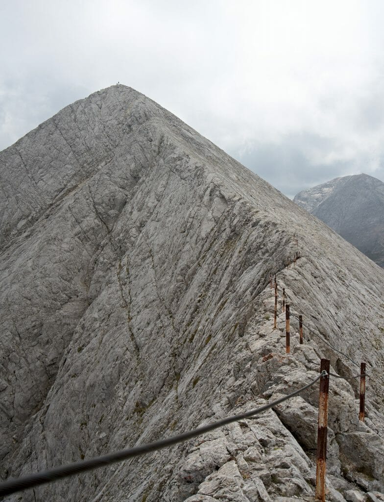
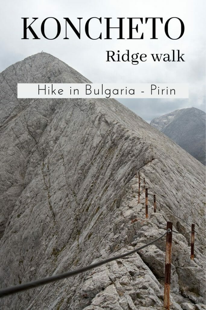
Note: Be careful I prefer to warn you right away, this hike is not for everyone! Koncheto ridge, even if it is not technically difficult (no need for equipment and there is a handhold to help yourself), is impressive and not suitable for people that are afraid of height or who do not have a steady foot (and you should not venture into it in case of bad weather). In addition, the hike as presented here (with the ascent to the top of Vihren by the north face) is quite long and requires a good physical condition. That said, you will be rewarded for your efforts with absolutely magnificent landscapes!
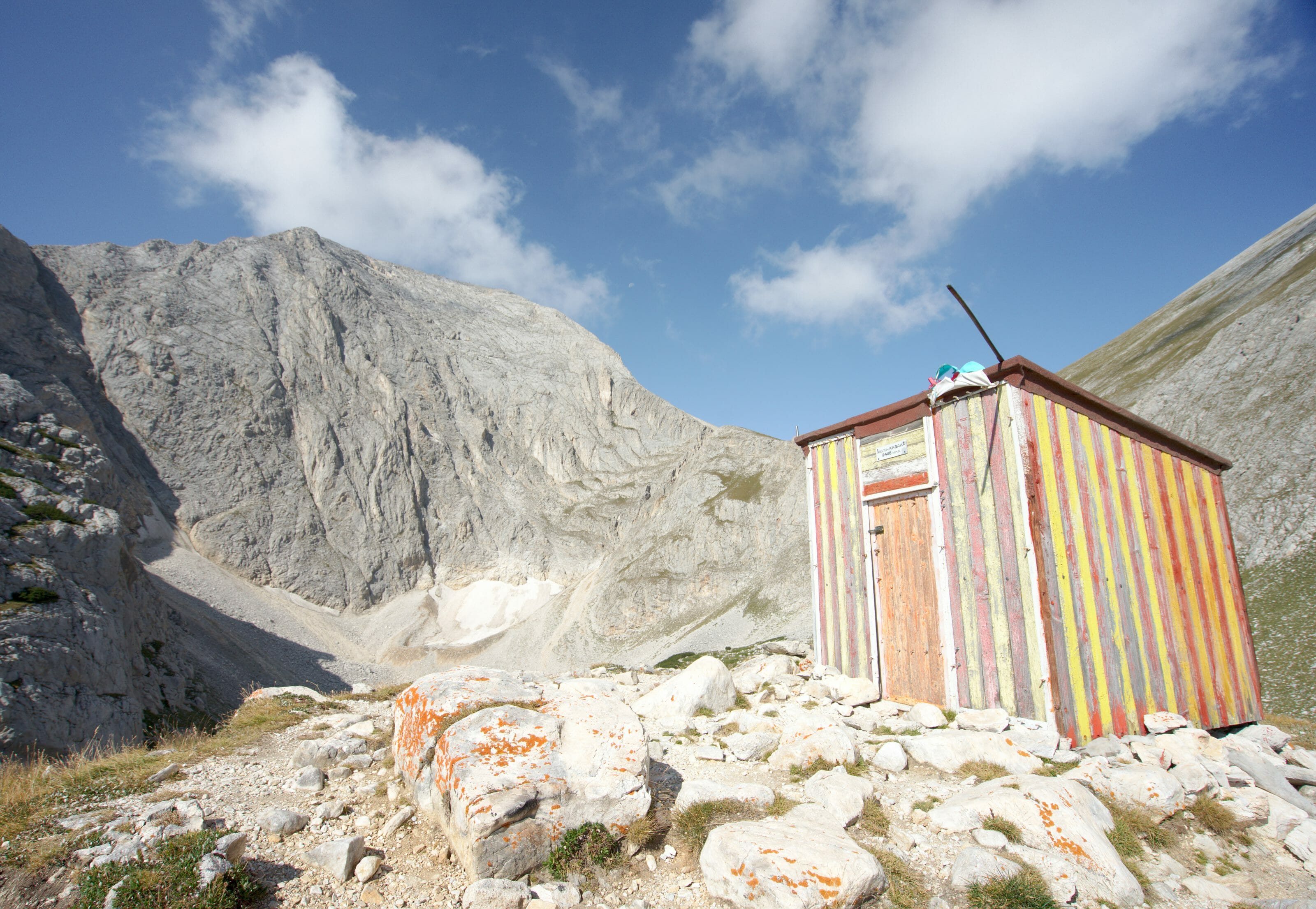
The hike starts at the same place as the previous one, just in front of Vihren hut. Climb up to the river (drink and fill your water bottles well because you will need 2 liters of water on this hike) and take the trail which goes to the right under the Vihren peak. The path climbs nicely to pass on the other side of the Vihren to a small refuge under the north face of the mountain.
Once you are in front of the small hut, you will have two options:
- Climb up to the pass between Vihren and Kutelo and then climb to the top of Kutelo
- Climb more directly to the top of the Kutelo by the ridge that goes up to the right of the refuge (this is the option I have chosen to walk as little as possible twice on the same path 😉 ).
The more direct path is not really marked out but you will have the summit in sight so it is difficult to get lost 😉
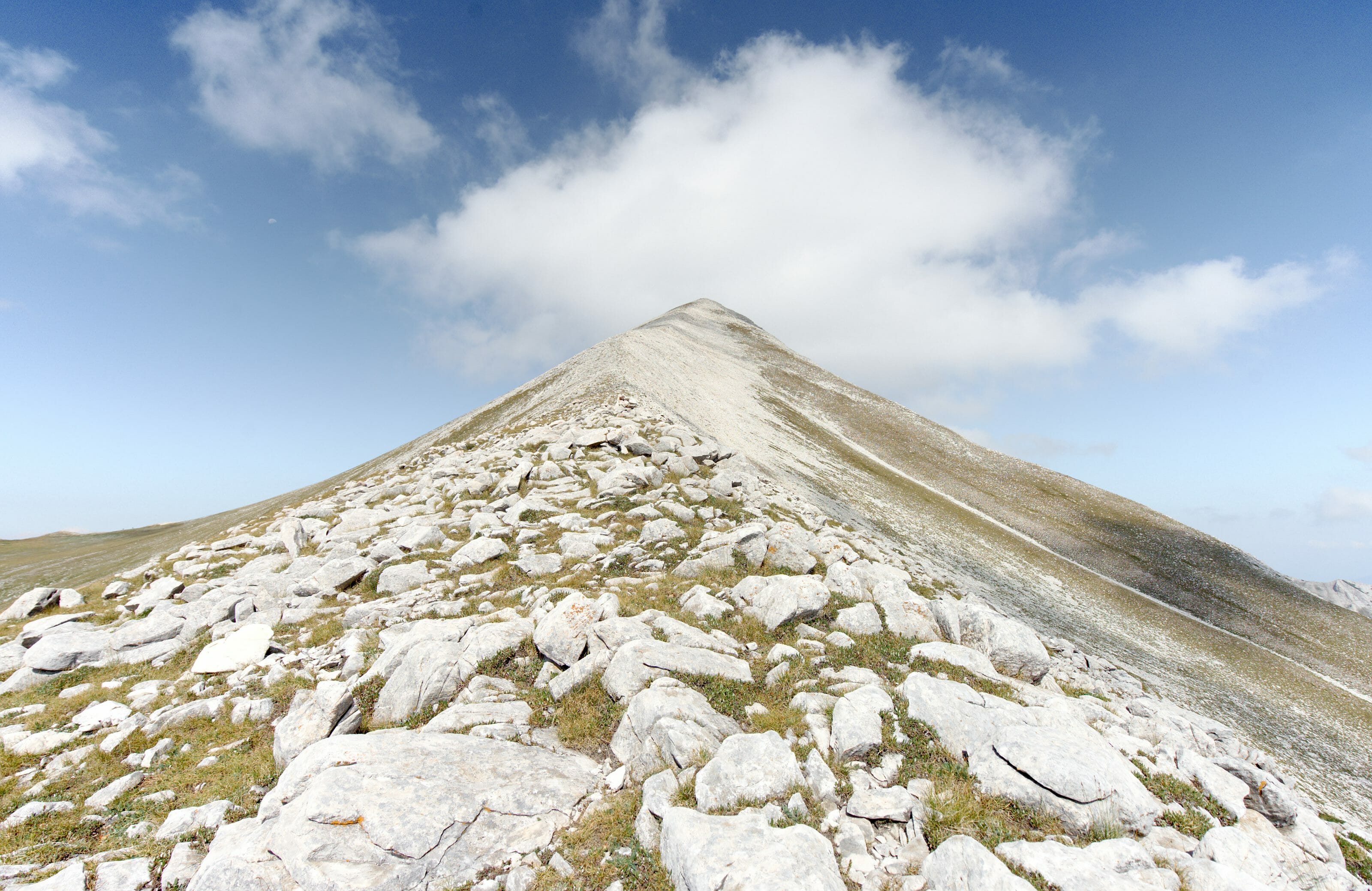
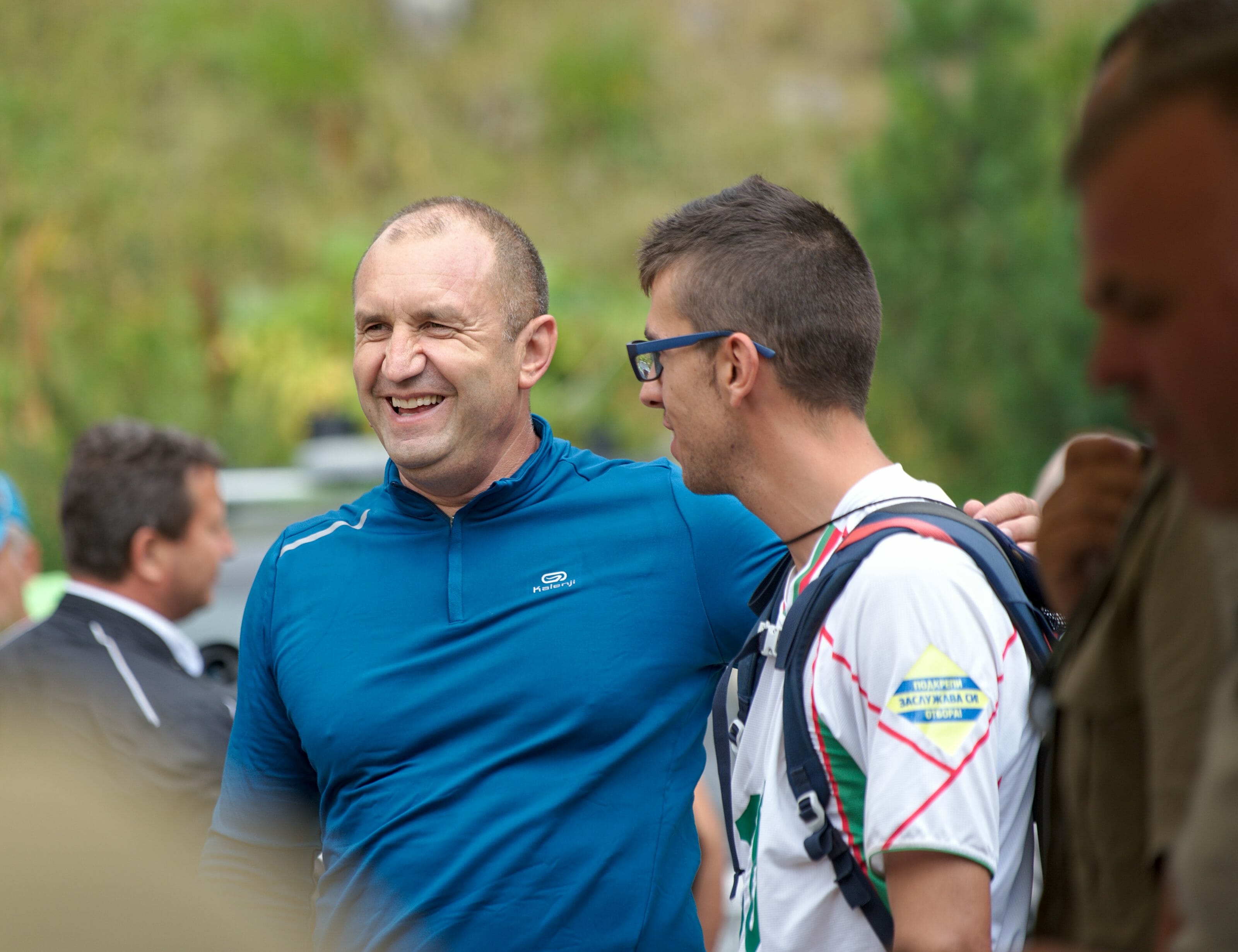
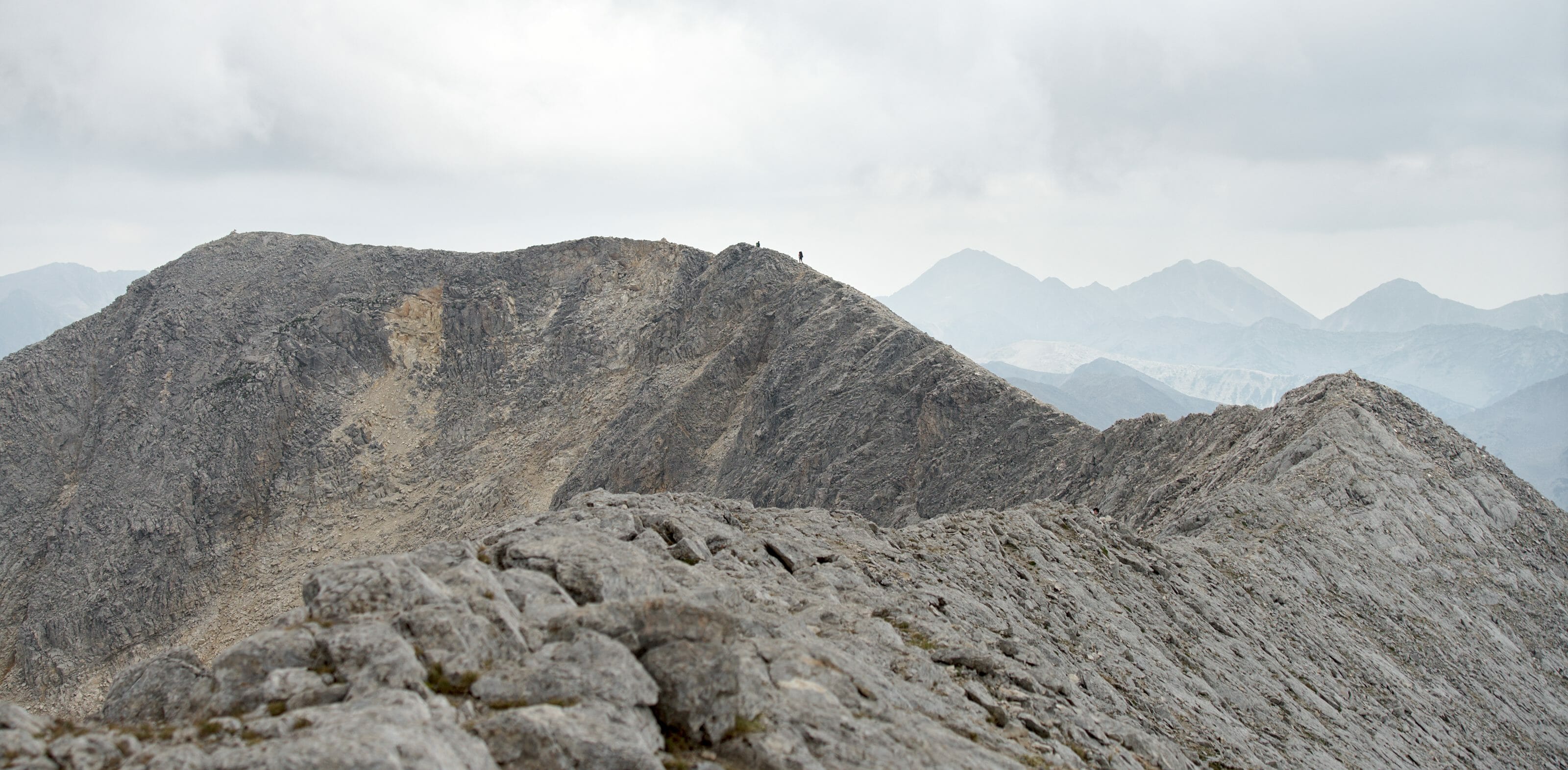
Once at the top of the Kutelo, that’s where the serious business begins! The first part of the ridge to the 2nd summit of Kutelo is not difficult and the landscapes are really splendid! After the 2nd summit it is a matter of going down to the place where the ridge is the narrowest (this is also where the handhold starts). The narrow part is really not very long but on one side there is a good cliff and it is better not to put a foot sideways 😉 . The ridge then widens again, which will allow you to reach the small refuge a little further away without too much trouble.
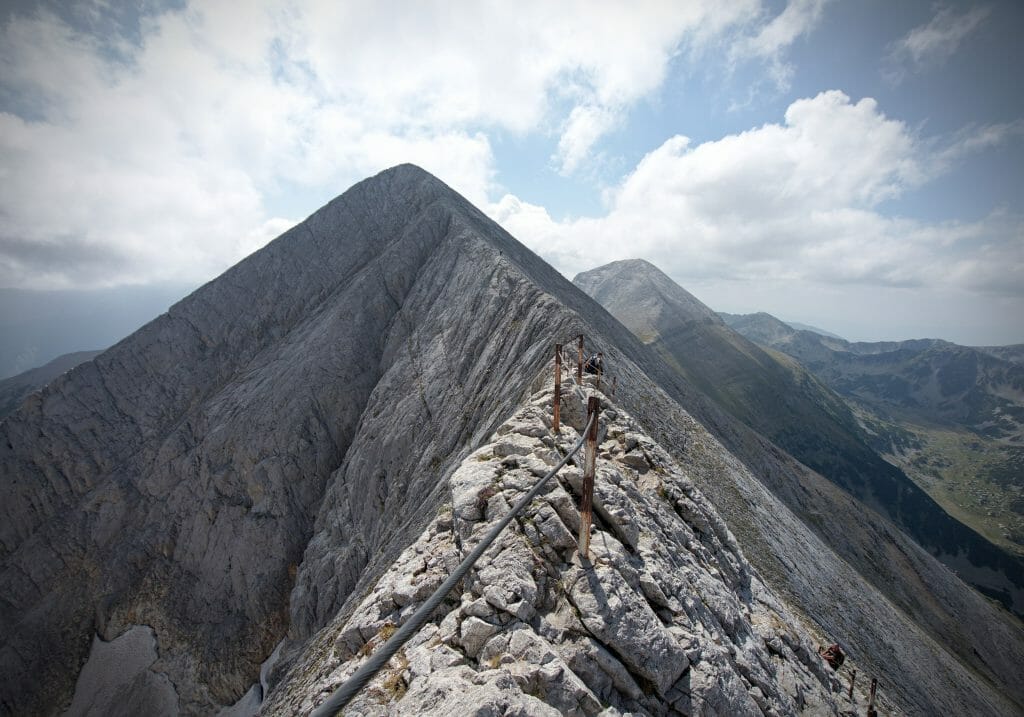
As I told you, I chose to return back from this point but you should know that there is also the possibility to continue to the Yavorov refuge. So come back to the narrow part of the ridge. At this point you can either take a passage that will save you from going up to the top of the Kutelo or take exactly the same route to the top of Kutelo before going down this time to the pass between the Kutelo and the Vihren.
At the pass, if you still have energy to spare, then I recommend you to take the path that climbs the north face of the Vihren (otherwise go down towards the Vihren hut by the same path as the way up). The path is certainly impressive looking from below but promised it’s not that difficult (even if it climbs severely) and there are several chains to help each other… and also it would be a waste to be so close to the highest summit of the Pirin Park without climbing it, wouldn’t it?
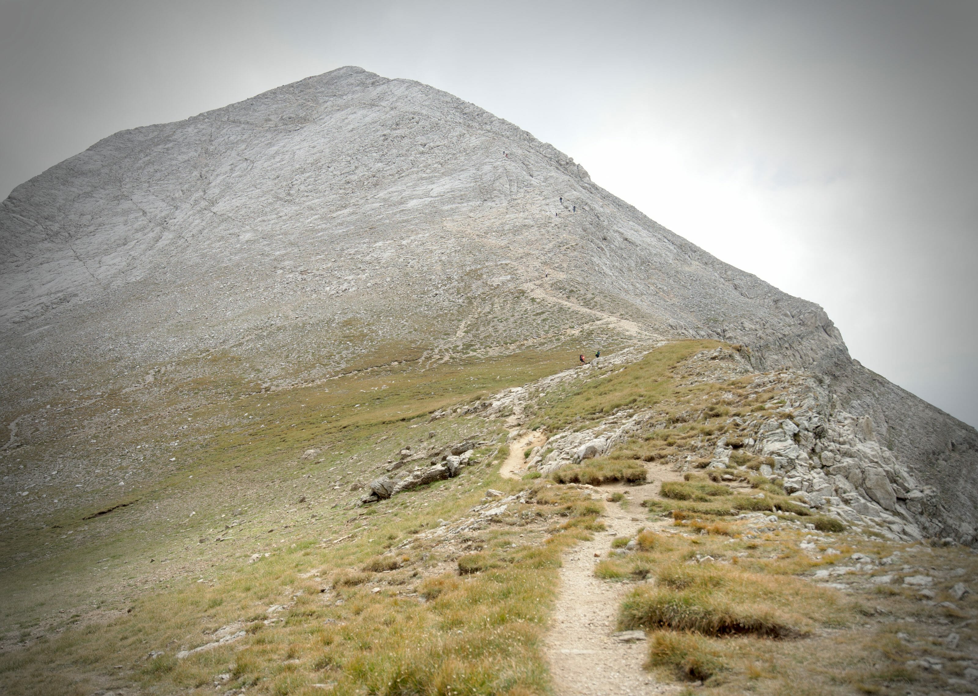
Once at the top, all you have to do is enjoy the view and go down the same path as on the way up of the 1st hike
(so go down to the pass and turn left towards the Vihren hut).
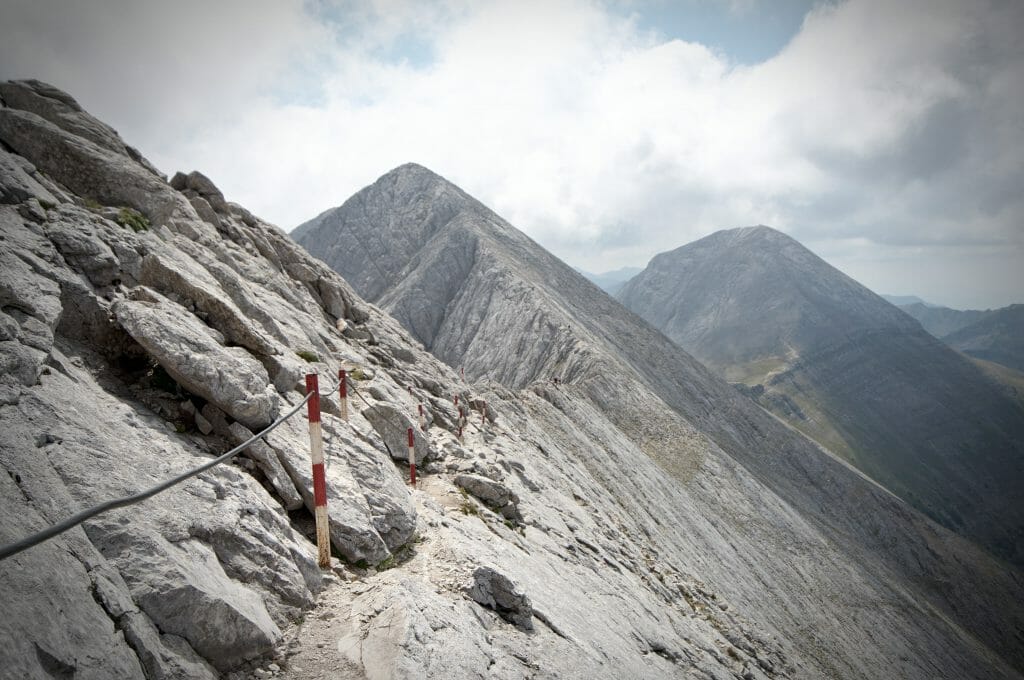
And just for the record, when I arrived at the hut, I found myself in front of 5 TV channels that were apparently waiting for someone. And it so happens that the group of about ten people who were more or less at the same time as me on the Koncheto Ridge was in fact the President of Bulgaria and his followers with a guide and 2-3 bodyguards. 😉 #HowRandom
Useful Infos
- The easiest way to get to the Vihren hut is to take the bus that leaves in front of Bansko train station. There are 3 buses a day that go up and down from the cabin (cost 8LEV / person) and the timetable is here.
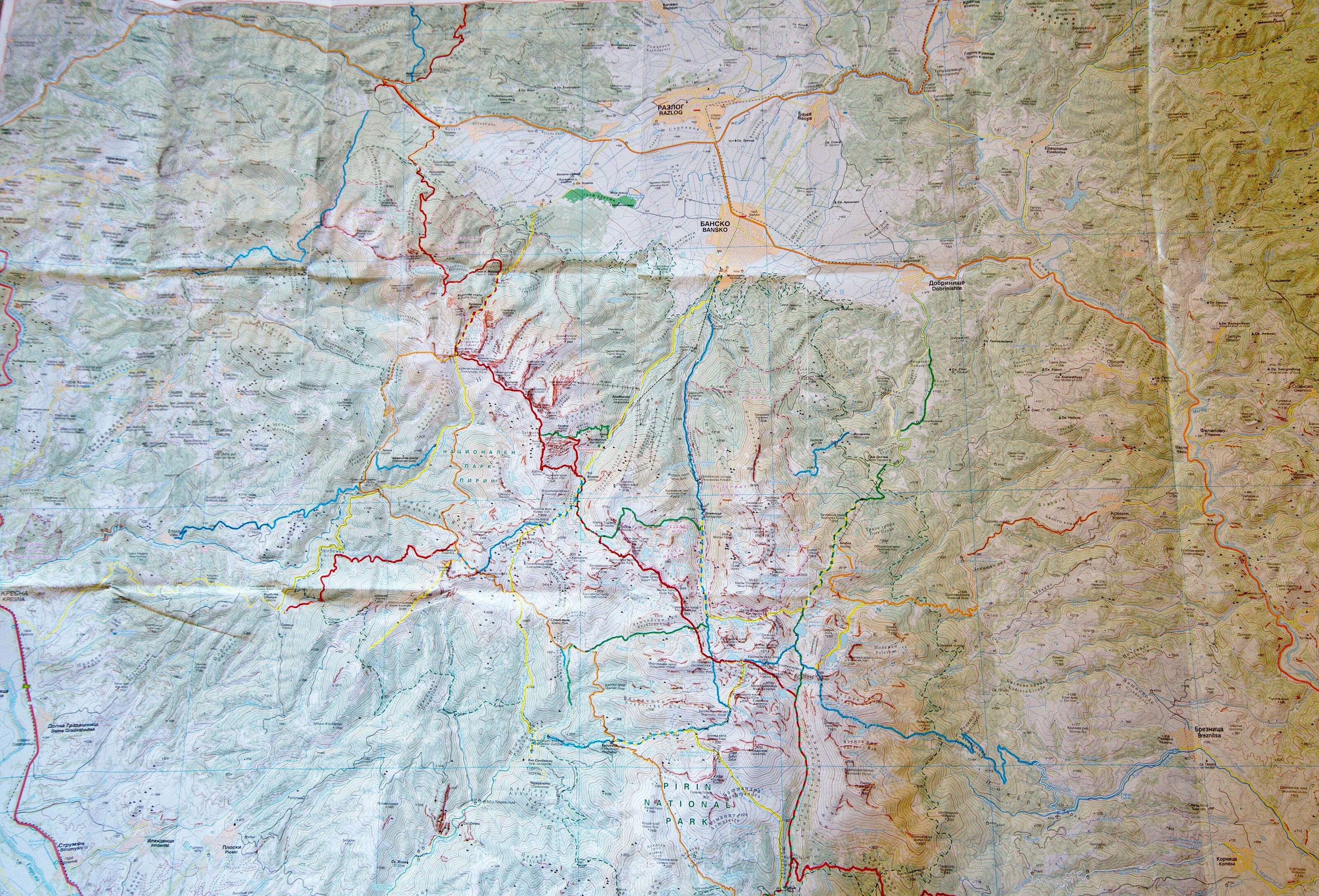
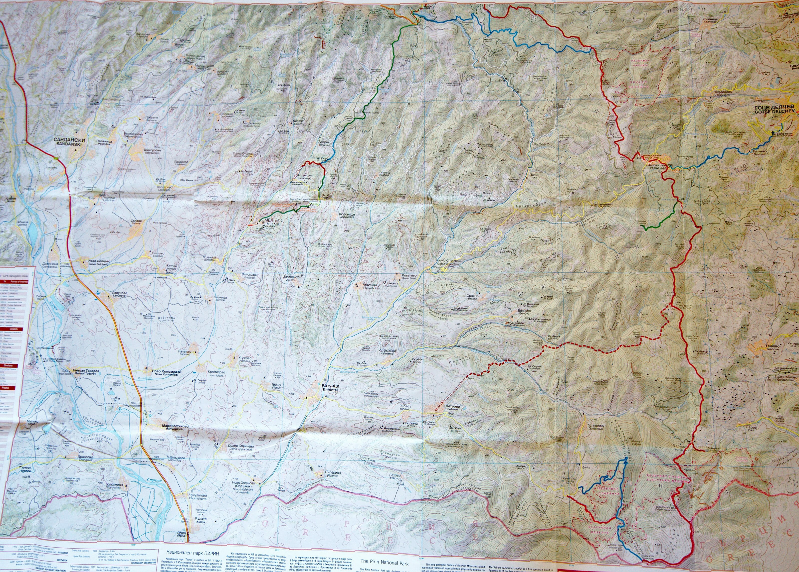
- We also bought the Pirin national park hiking map that you will be able to dwonload below.
- You will find a map of all the shelters in Pirin National Park on this site and some more general information here.
We hope you enjoyed these two day hikes in the Pirin National Park and we will tell you more about our nice 3-days and 2-nights (in bulgarian huts) trip in the same park very soon. And don’t hesitate to ask if you have any questions or comments 😉
Pin it on Pinterest

Hello. I study your hikes, plan Pirin Park. Excellent essays. They’re calling for the road! With respect. Tatiana
Very well written Benoit, This August 2023
I too had the chance to walk along this ridge, with its expansive views, It was both thrilling and awe-inspiring. The adrenaline rush combined with the serene beauty of the landscape creates an unforgettable experience.
Our Starting point was Yavorov hut (1753 m)
and Finishing point: Vihren hut (1973 m)
I made a Vlog of the hike
https://youtu.be/4dsK99_SW28?si=dBiOyWS5sA1l0UTq
I am sure you could relate to the feeling 🙂