We had previously shared with you our nice discoveries in the north of the León province in the region of the Riaño mountains. It's a rather unknown corner of northern Spain that we really liked with its mountainous landscapes and its big artificial lakes that reminded us a bit of Lofoten (even if the story behind the construction of the Riaño reservoir is very sad).
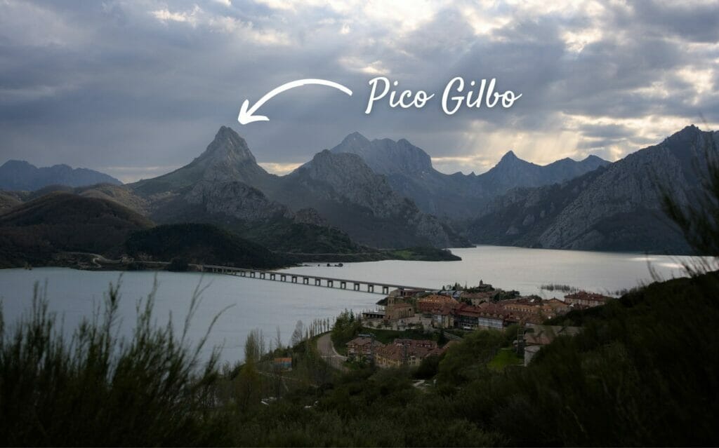
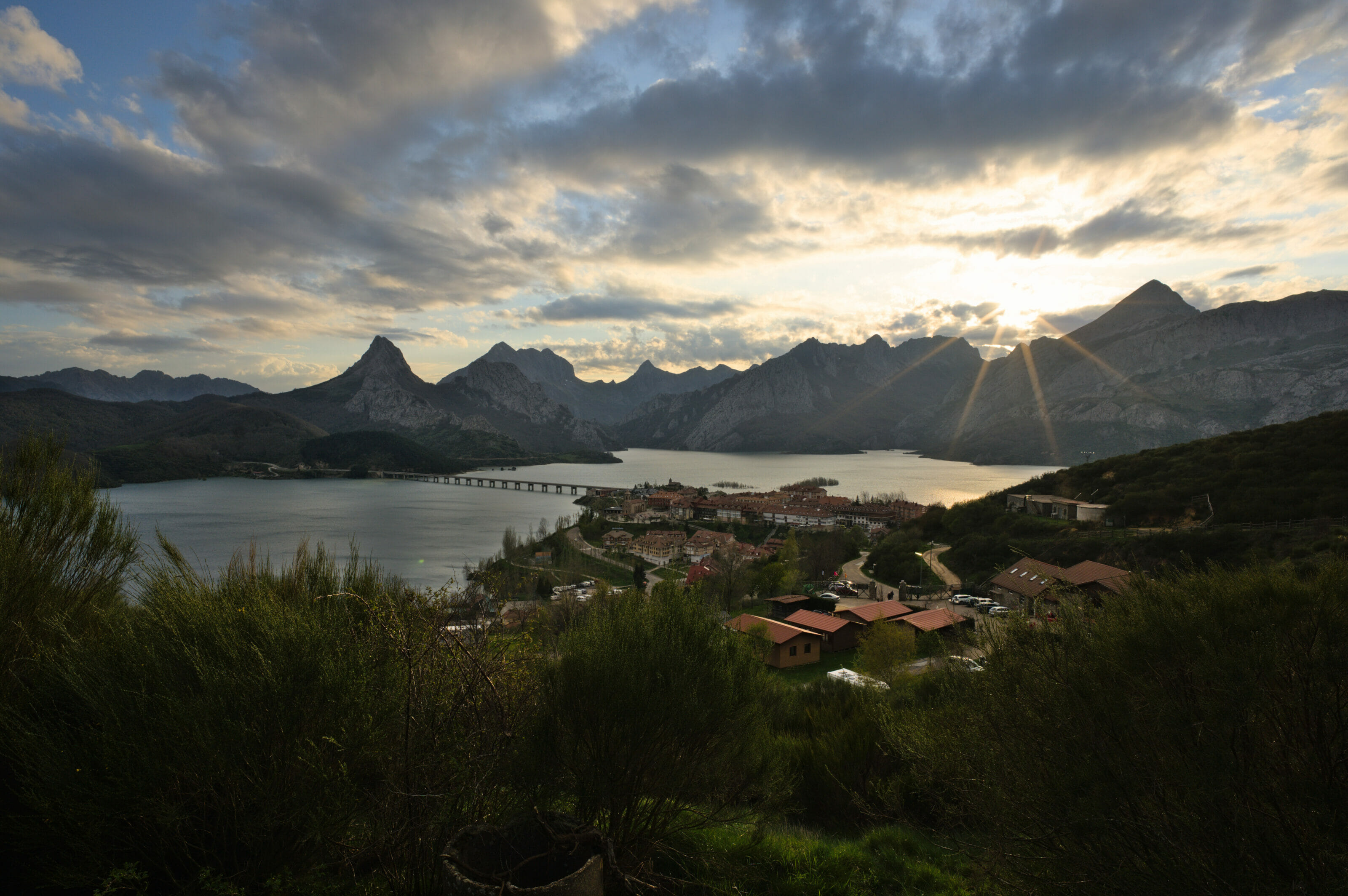
To situate you we are at the south of the Cantabrian mountain range and the Picos de Europa national park. We had set up our van for 2 nights in the Riaño campsite which offers a breathtaking view on the lake, the pico Gilbo (1679m) and the mountains of Riaño.
As I said, with such a view of the Pico Gilbo, I couldn't resist to climb it. So today I'm going to share with you this nice hike to the top of the "Matterhorn of Leon", an climb that offers beautiful views but that is not so easy.
Infos and map of the Pico Gilbo hike
So that you know right away what you are getting into, here are the practical infos and the detailed map of the ascent of Pico Gilbo as I did it:
- Distance: 9,5kms if you start as I did in the village of Riaño (you can save yourself the 2kms round trip across the bridge if you have a car and park on the other side)
- Elevation: around 650m d+-
- Duration: 4-5h
- Difficulty: Medium. On the other hand, it is important to note that the last part of the climb is not recommended for people subject to vertigo. The trail is well marked (you can see that it is very busy on weekends) and at no time did I need to use my hands. If you're not sure, you can always hike up to the La Pedrera pass, which already offers great views, and then decide if you want to continue.
To give you a more visual idea of the route, I tried to draw it on a photo of Pico Gilbo:
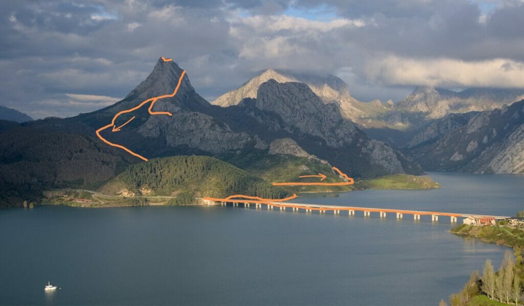
Ascent to the Pedrera pass via the Las Biescas viewpoint
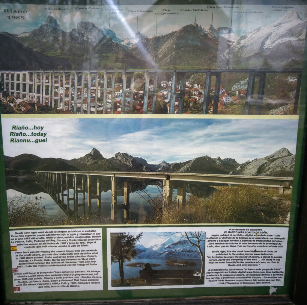
As I came by foot from the campsite, I first had to cross the imposing Riaño viaduct which is almost 1km long. You have to imagine that under the water, at the foot of the viaduct, was in fact the village of Riaño before the reservoir was filled with water in 1987. In front of the church, before the viaduct, there is a sign that shows where the village was located before it was flooded.
I say it again, the construction of the Riaño dam was VERY controversial and is considered by many to be one of the worst environmental disasters in the history of Spain (in fact, its construction would probably never have been possible today). Thousands of people were forced out of their homes, an entire valley was wiped out… If you are interested in this story, I suggest you read these few paragraphs.
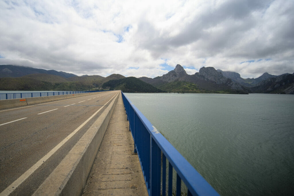
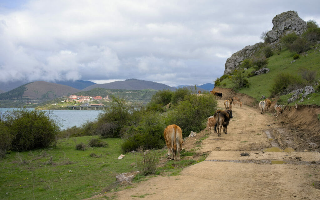
After crossing the viaduct, I turn right onto the trail that runs along the edge of the lake. Instead of taking the first path that goes up on the left towards the Pico Gilbo (I will go down this way), I decide to continue along the lake until I see a sign that says "Cueva de la vieja el monte" (cave of the old lady of the mountain) on the left.
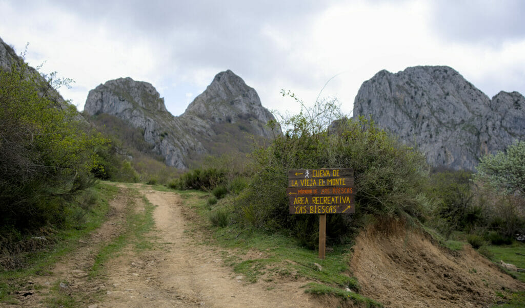
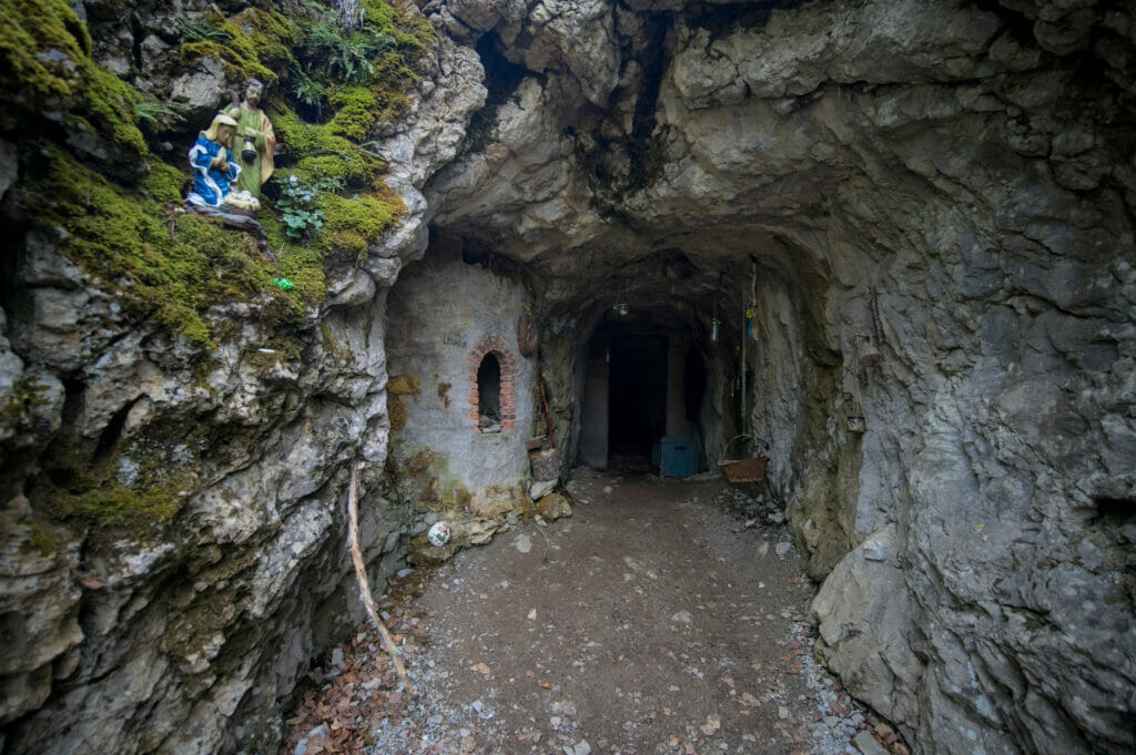
From here it starts to go up and in front of me rises the Pico Gilbo whose summit still seems to be far away. I quickly arrive at the cave of the vieja del Monte, a singular place that apparently shelters the vieja del monte, a character of the mythology in the region that would make bread in her cave 🙂 (but it seems that we can't see her because she would be in the forest collecting fruits of the woods during the day).
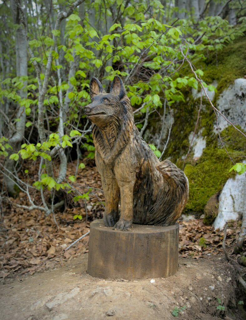
I keep climbing to reach the mirador of Las Biescas. Unfortunately for me, the weather is rather cloudy and the highest surrounding peaks are hidden in the clouds…
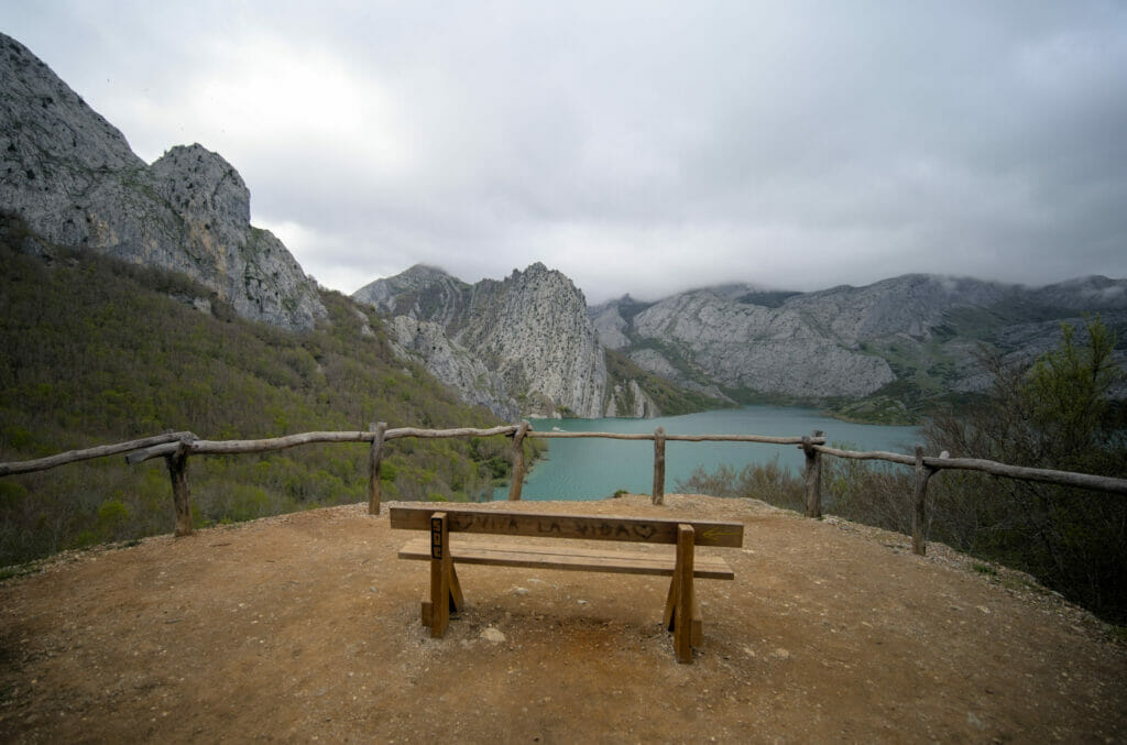
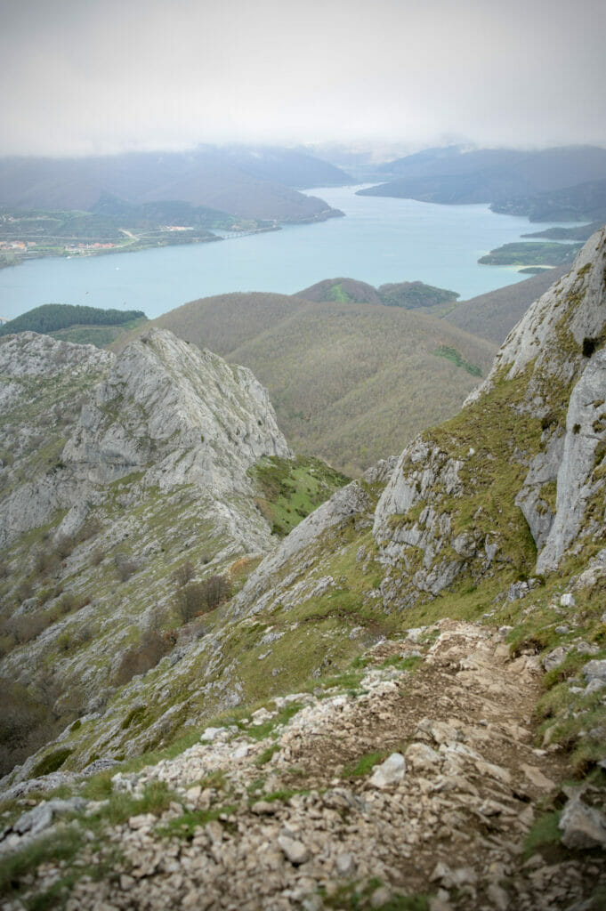
From that point on, the warm-up is over! The serious things begin and I follow a path that goes up very steeply in the forest. It comes out of the woods under a small rocky promontory which I walk around on the left. Behind me, the view opens up and I have a beautiful panorama on the lake while guessing the summits that are hidden in the clouds. In front of me, I see the path that winds up to the Pedrera pass under the summit of Pico Gilbo.
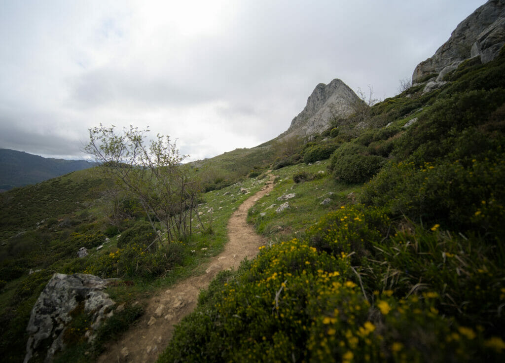
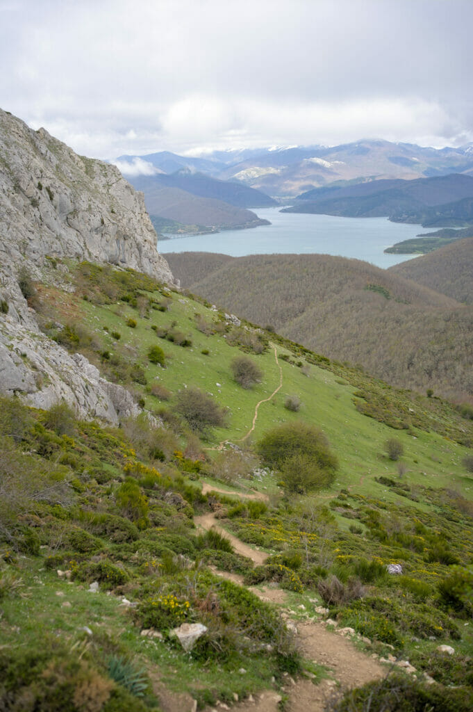
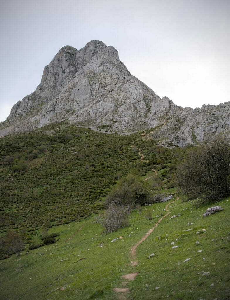
Just a little more effort and I reach the Pedrera pass where I already have a wonderful view of the Riaño lake on both sides of the mountain (despite the gloomy weather). So far, no particular difficulty to note and everyone can do it. On the other hand, if you have vertigo it gets complicated from there! But from the pass you can see very well the trail going up more and more steeply. So you will easily see if you feel able to climb to the top.
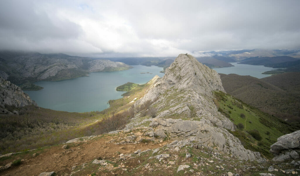
From the Pedrera pass to the top of Pico Gilbo
From the pass, there is only 600m of distance left to the top… but for 200m of elevation gain! (so an average slope of 33% 😉 ). So no need to draw you a picture, it goes straight up. However, the path is well marked and you can guess that it is very busy (it must be quite slippery in wet weather so be careful). I didn't need to use my hands at any time.
Behind me, the panorama is superb and I wonder how incredible the view must be in good weather. I start to see the village of Riaño and its viaduct while above me, some vultures fly elegantly along the cliffs.
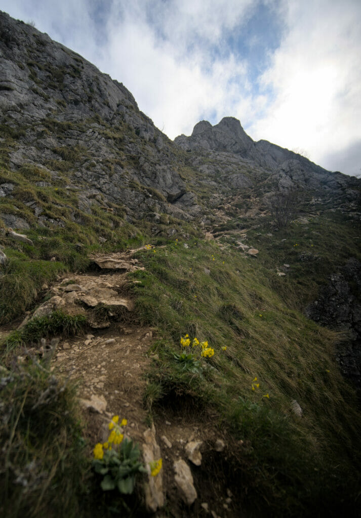
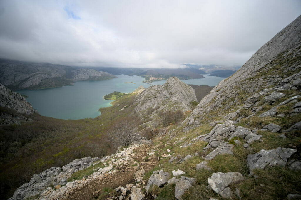
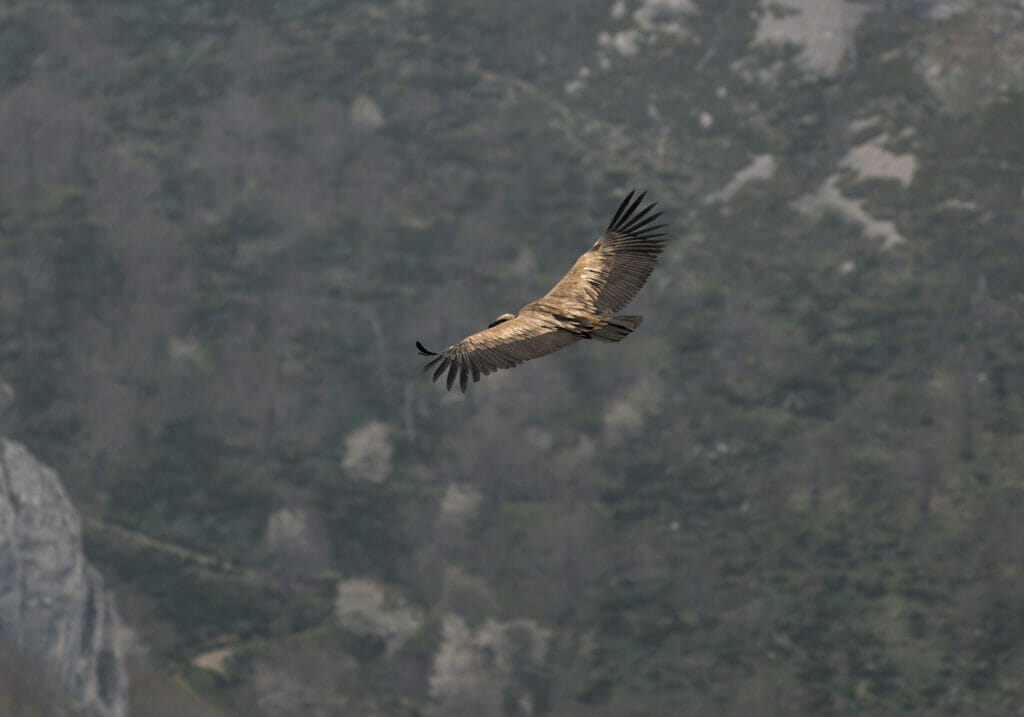
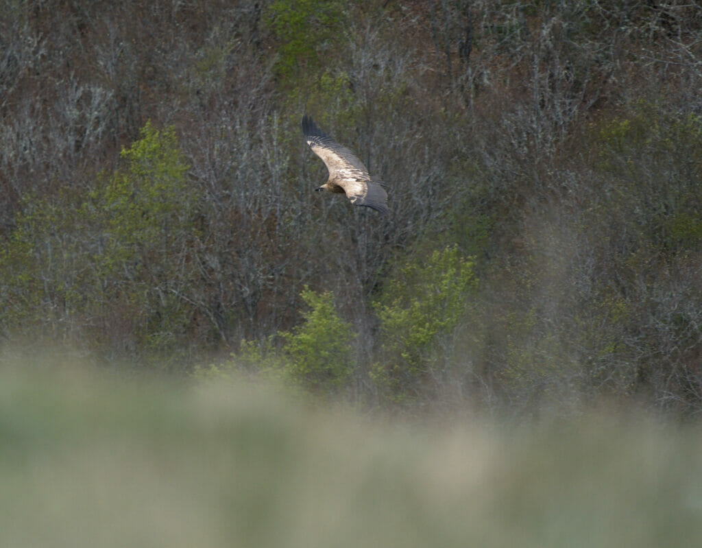
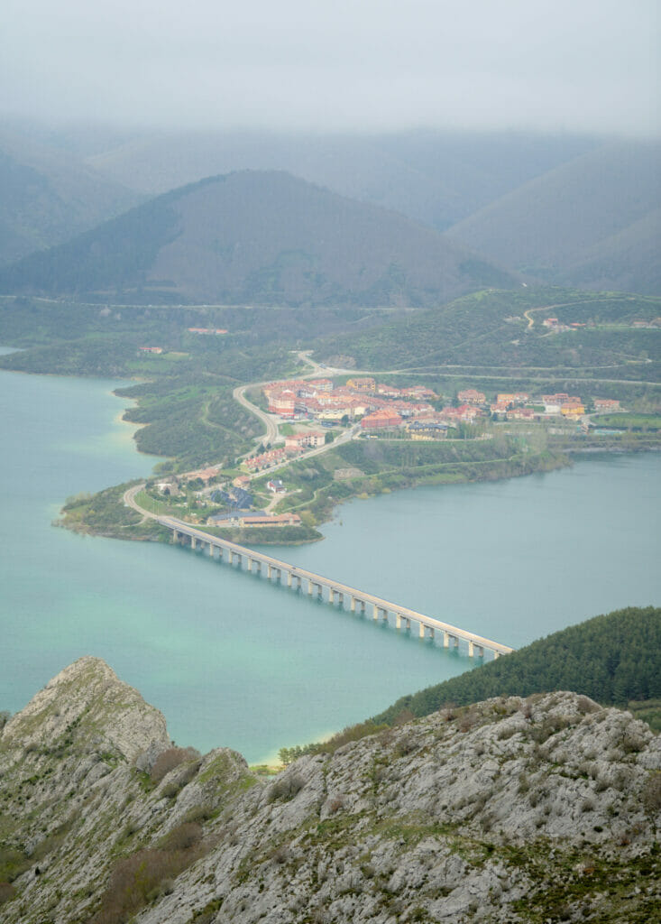
I reach a small flat area that offers a nice view on some branches of the lake below. Then I tackle the last part of the climb which is also the steepest of all.
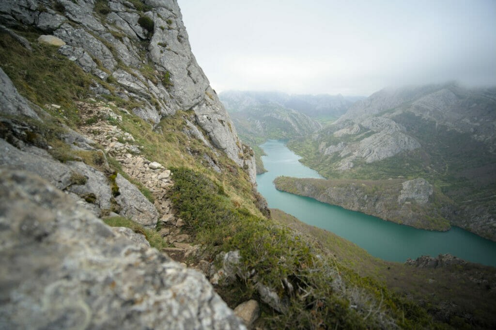
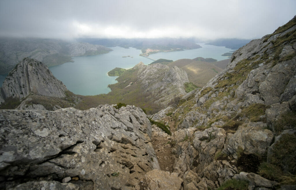
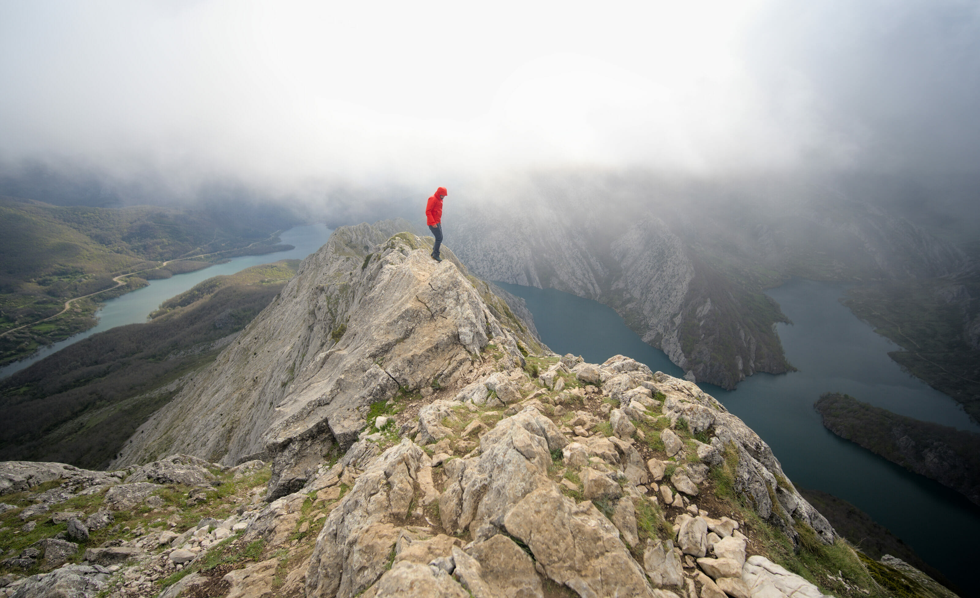
After this last effort, I finally reach the top of Pico Gilbo! The clouds are just above my head which allows me to have spectacular landscapes even if I don't see the summits of the Riaño mountains around. I take the time to set up my tripods to immortalize this moment at the top and to have some souvenir pictures.
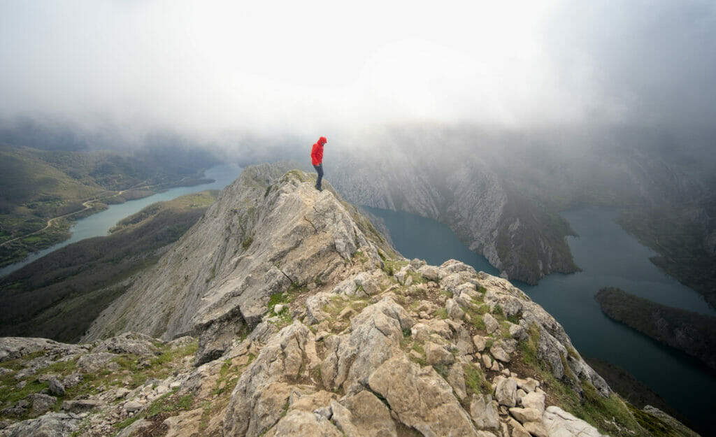
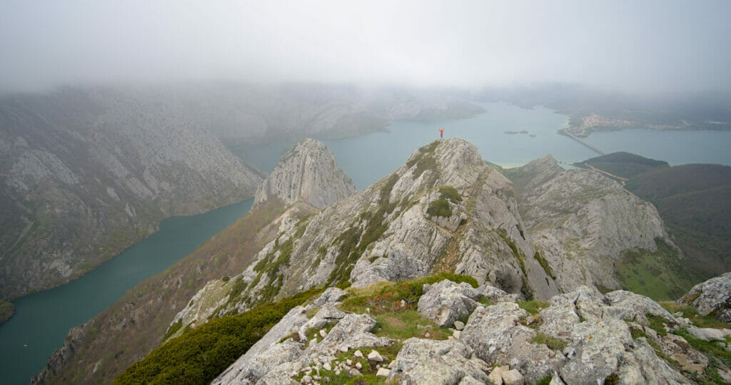
And if you want to see what the view looks like from the top of Pico Gilbo in good weather, I suggest you take a look at one of these two articles in Spanish which contain some very nice pictures and some videos:
Descending on the side of the "Arroyo Vallarqué"
As an eternal optimist, I stayed at the top for a good hour hoping that the clouds would lift and that I could see the surrounding peaks… But the luck was not on my side this time and I eventually decided to go down the same way.
To get back down I follow the same path as on the way up till the Pedrera pass. Then, just below the pass I follow the trail that goes to the right this time towards the forest to join the track at the edge of the lake. All I have to do now is to walk along the lake, cross the viaduct and go back up to the campsite above Riaño… fingers in the nose!
If you are confident and want to do a loop that doesn't go through the same place twice, you should know that there is also an itinerary through the western ridge of Pico Gilbo. However, as you will see by looking at the pictures, it is not an itinerary for everyone 😉
That's it! I hope you liked this article and that it makes you want to try the ascent of Pico Gilbo… Hopefully you will have more luck than me with the weather 😉 . And if you did this hike, don't hesitate to leave your impressions in the comments below to help future hikers.
Pin it

Join the discussion