We couldn’t possibly be a few hundred kilometers away from the Lofoten Islands and not stop by (as a reminder we were in Swedish Lapland for a 7-day trek on the Kungsleden)… it was just too tempting! We have to say that the Lofoten is the kind of destination that appeals to us at 200%.
It’s nature with a big N, endless hiking possibilities, mystical landscapes straight out of the Viking show
And then, since I got lost on a few articles written by my friend Julien (from the excellent blog Sentiers du Phoenix. It’s in french but check out the pics 😉 ), I simply dreamed of hiking the Lofoten Islands in Norway.
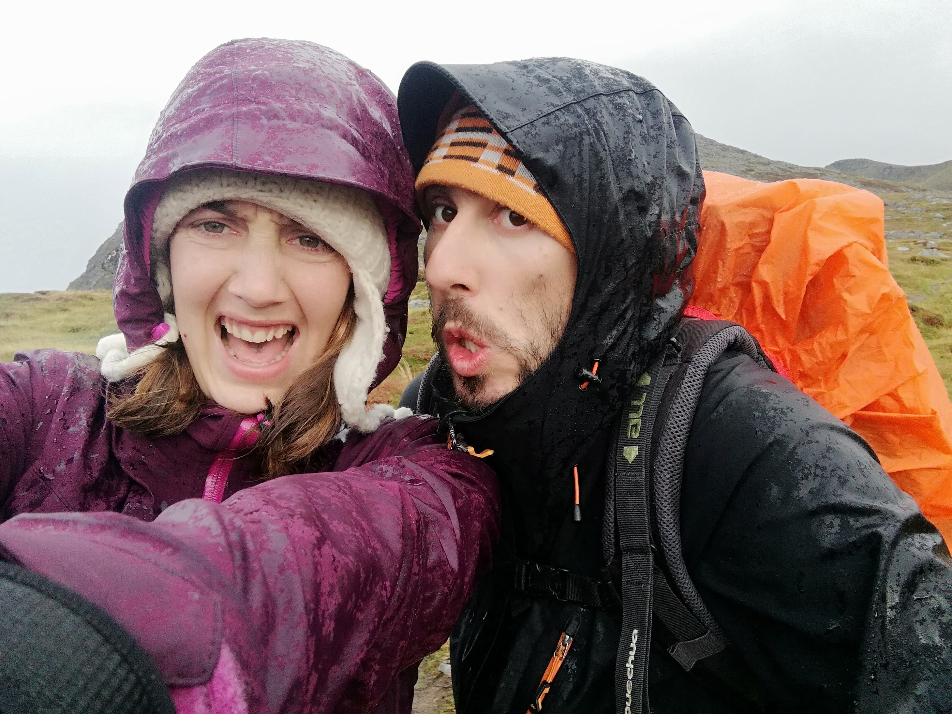
Well if you follow us on Instagram, you know that we didn’t exactly had a dream weather during our 10 days on the Lofoten Islands (understand that we may have had 6 hours of sun in 10 days 😉 and especially a lot of rain and wind)… But it’s part of the game when you travel above these latitudes! And if you ask me, it’s also part of the Lofoten charm. So if you have the courage to go out and face the elements, you will often be rewarded with wild landscapes that you simply won’t find anywhere else.
So I thought that after 10 days in these difficult conditions, I could be able to give you 2-3 tips for hiking in the Lofotens.
Why hiking in the Lofoten ?
If you come to Lofoten, it is not usually to relax in a beautiful hotel or to enjoy good restaurants… No! We come to the Lofoten to admire its sharp mountains that come straight out of the sea, to explore its valleys and fjords, to discover a still wild and preserved nature or perhaps also to admire the northern lights. Lofoten is THE “Outdoor” destination and hiking is probably the easiest and cheapest way to explore it. Want to know more about our budget? So you should have a look at our special article about our travel budget in Lofoten
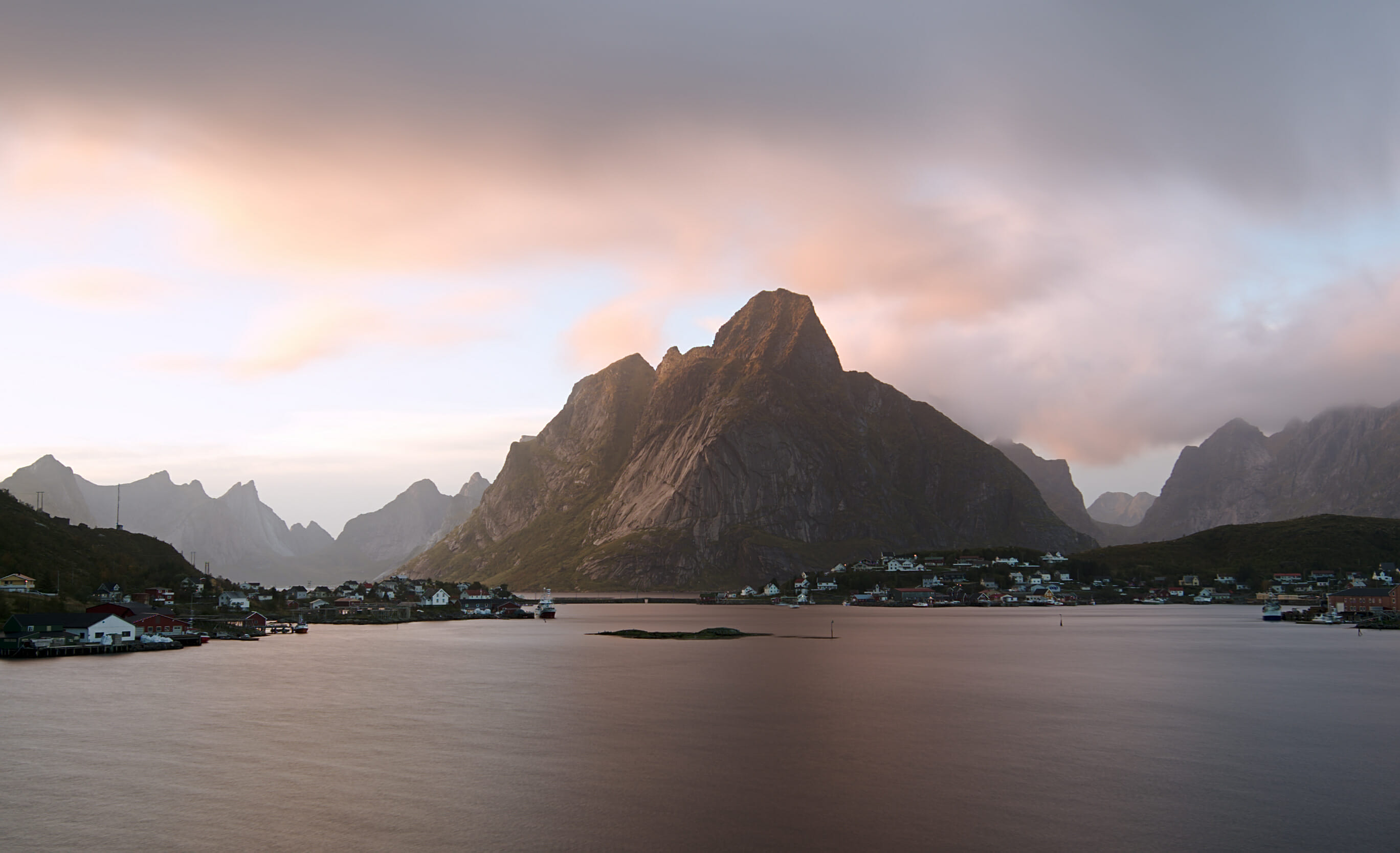
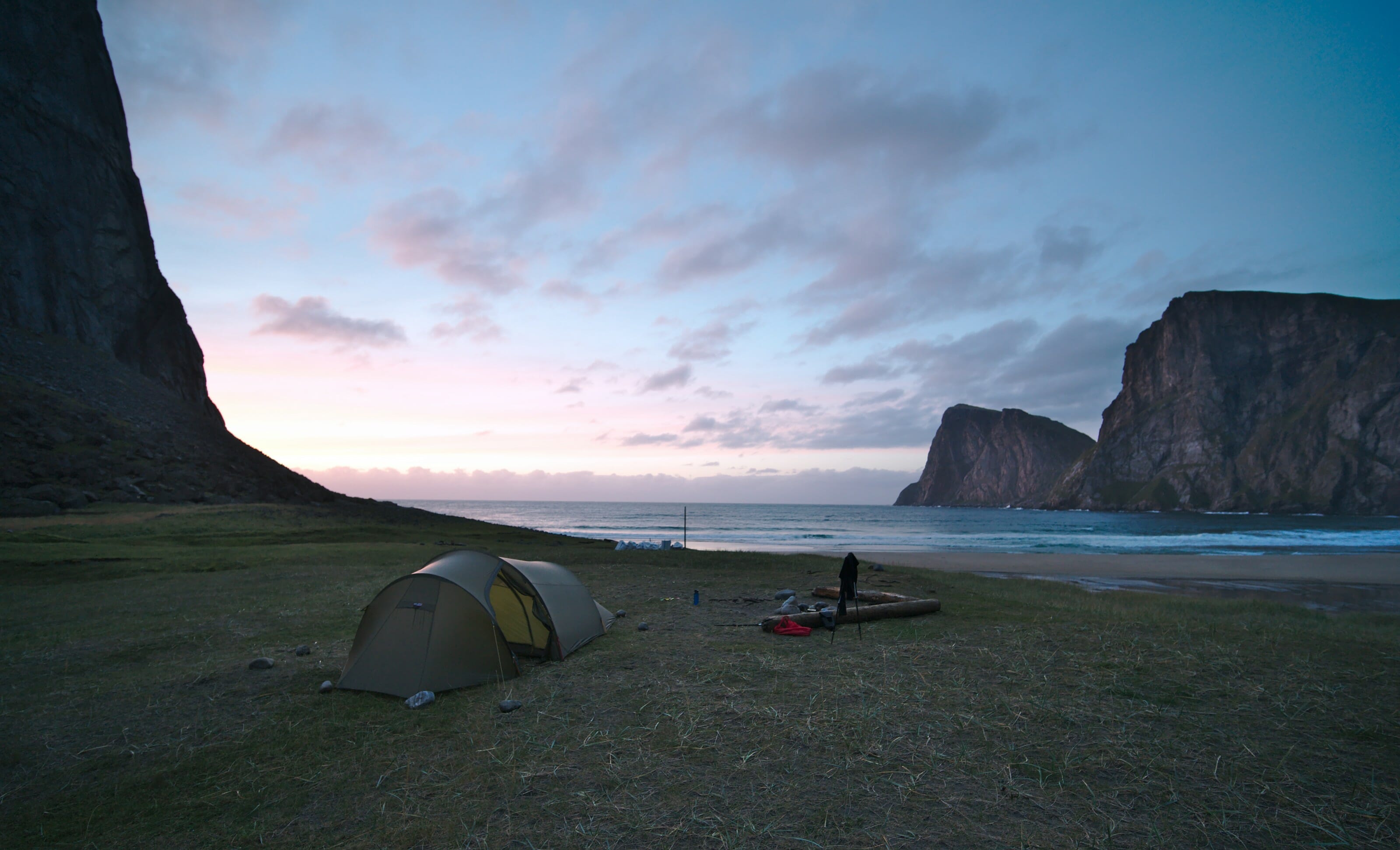
Moreover, in the Scandinavian countries (I told you about that here just after the trip), access to nature is sacred and guaranteed to everyone (it is part of the law). This means that in the Lofoten (and this applies to Norway, Sweden and Finland) you can walk around where you want, pitch your tent for free and sleep within a reasonable distance of houses, picking mushrooms and berries, sailing and fishing without a permit… This complete freedom of access to nature is unique and hiking with your backpack and tent is an excellent way to enjoy it (not forgetting to respect nature and leave no trace after your passage)
Finally, the Lofoten have become quite touristy in recent years. But from the moment you leave the E10 road (the main road that crosses the Lofotens) to look for hiking trails, you will move away considerably from the mass. You will certainly meet some other hikers on the trails but nothing that should ruin your pleasure.
Weather in Lofoten
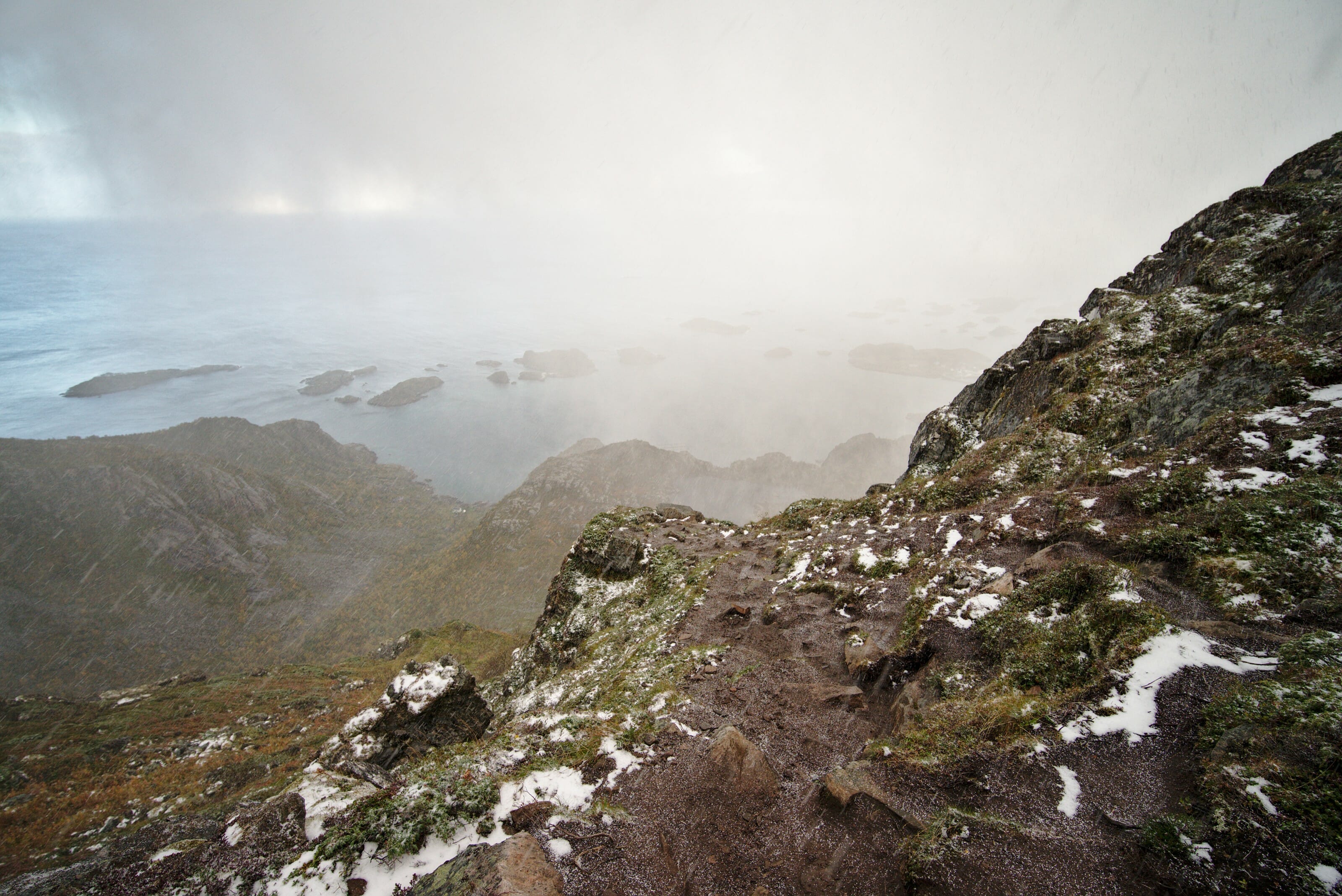
North of the Arctic Circle, the weather is often very unstable. You can have sun, rain, wind, mist and even snow all in the same day! (I tell you from experience)… So I’d like to tell you that there are times in the year when the weather is more clement, but according to my readings it’s almost impossible to predict. I have read about the experiences of people who had very nice weather in September (unlike us) while some experienced hell in the middle of July when the weather is supposed to be the best. The only certainty is that at one time or another, you’re going to get a good shower on your head or some nice gusts… But it’s part of the charm of the Lofoten I would say 😉
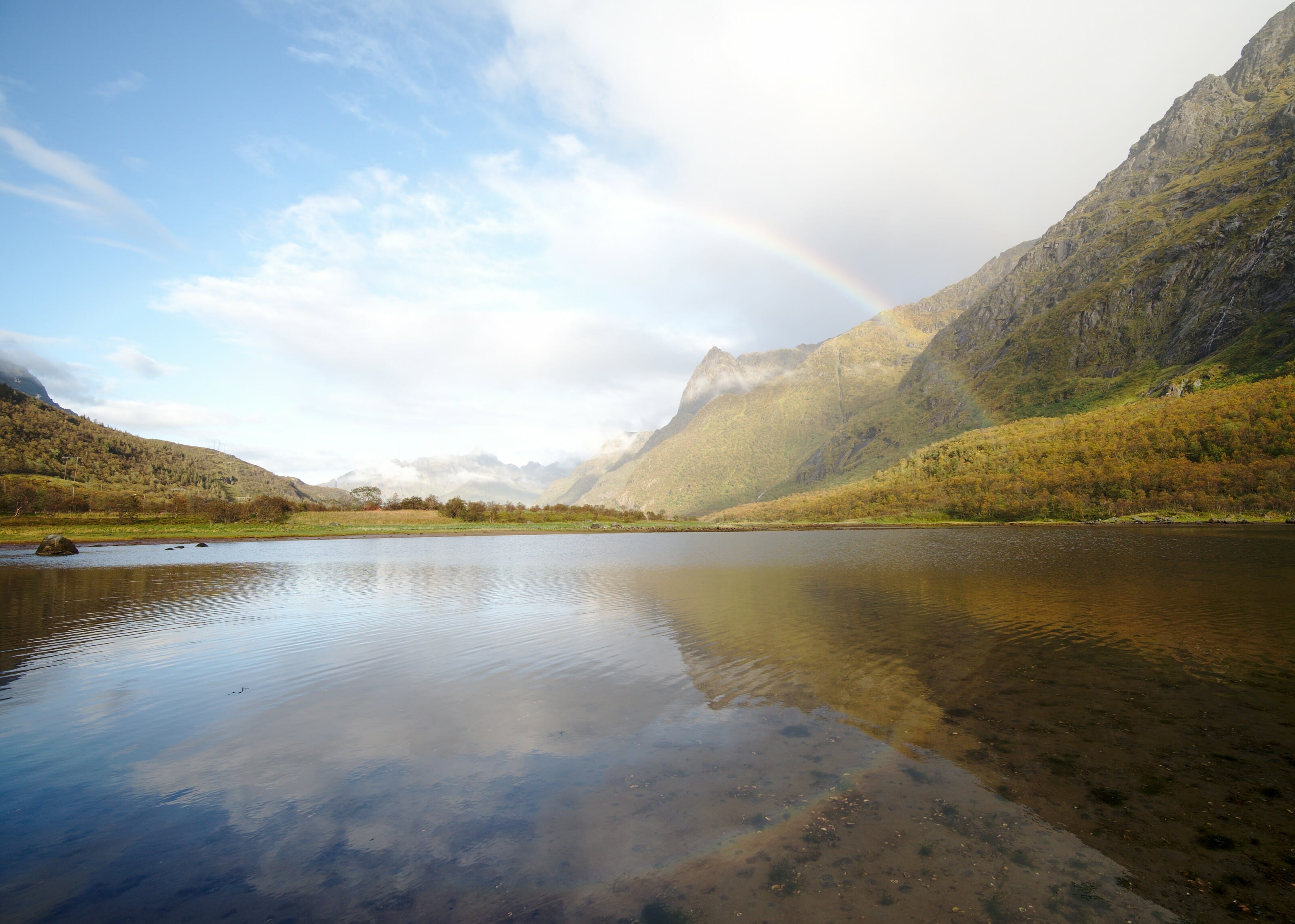
So if you want my opinion, the best thing is not to rely too much on the weather and to choose the date of the trip according to what you want to see or do. The ideal time for hiking in Lofoten is between mid-June and the end of September. Before mid-June, there may still be a lot of snow on the mountains and from the end of September, temperatures drop significantly and snow returns to lower altitudes.
- From mid-June to August: You should know that until mid-July, the sun never sets and you can experience the famous midnight sun. During this period, the days are very long, the colours are green and bright and the temperatures rather mild. On the other hand, July – August is, as everywhere else, the holiday period and Lofoten is a very popular destination for Norwegians in summer. So if you want to come during this period, perhaps you should come at the end of June, early July and late August.
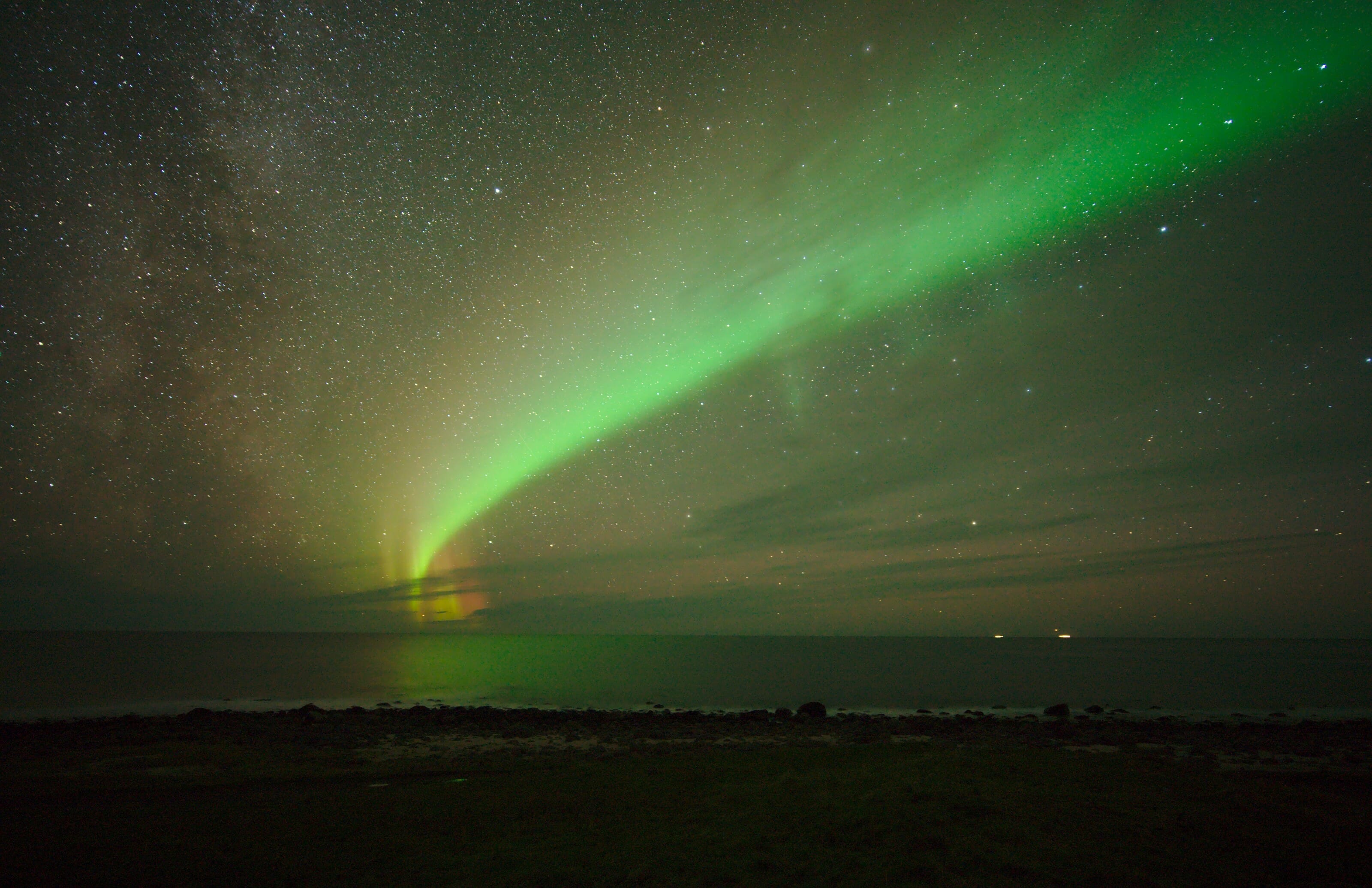
- Septembre : The nights are getting longer and the temperatures are much colder. But it is also an opportunity to observe the northern lights and the pretty colours of autumn. At the end of September, it is not uncommon for snow to have already returned to the top of the mountains.
For weather forecasts, the best site for the Lofoten is yr.no. You can either use their website or their very good mobile app. And if you want to see the cloud, rain or wind conditions live, I recommend the very good Storm Radar app.
There are many hotels and apartments in the area. You can use the map below to see the availabilities for your dates. Use the filters to select your desired type of accomodation (apartment or hotel) as well as the price range.
Hiking trails and difficulty of the terrain
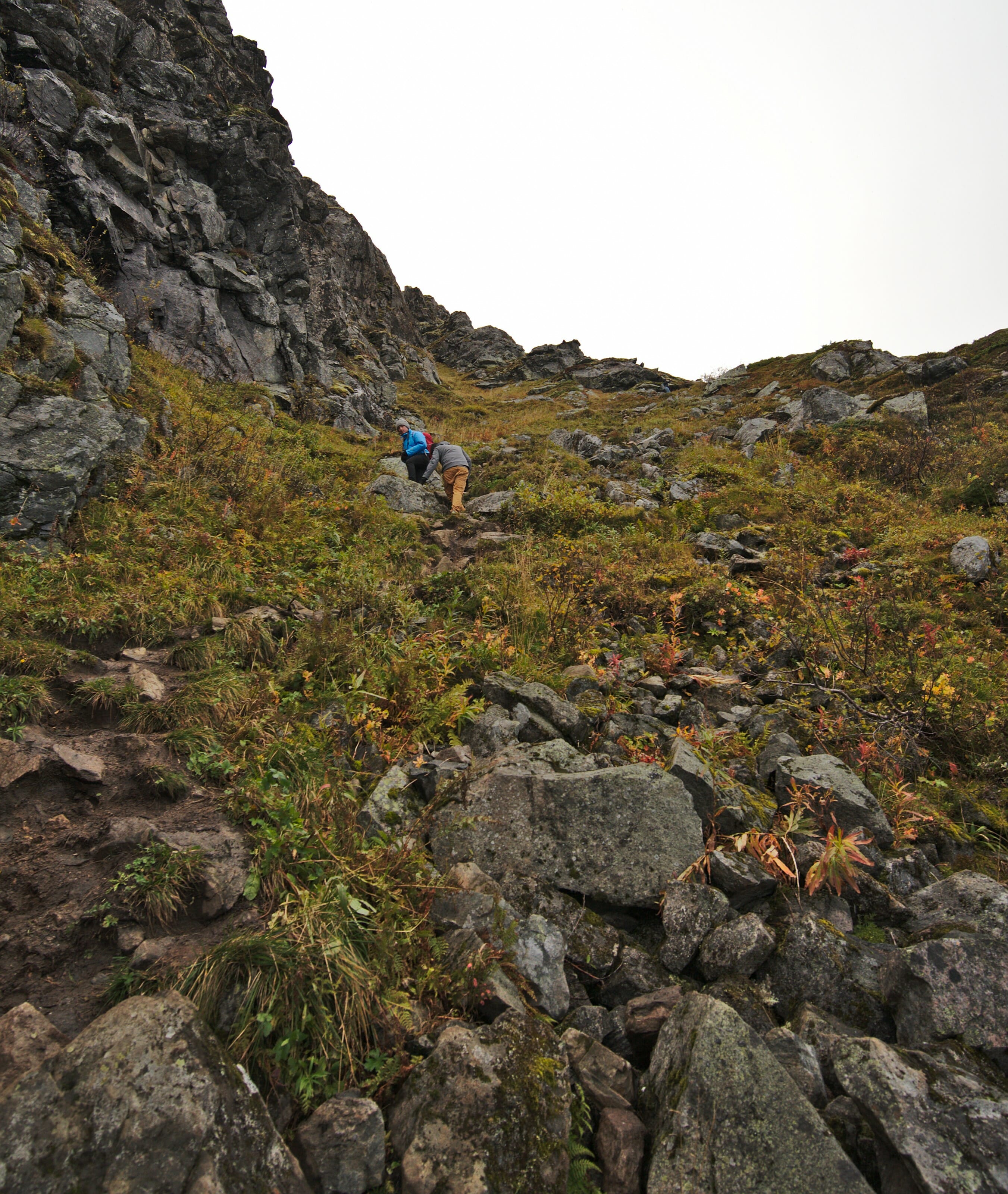
You will probably have already noticed it by looking at pictures of the Lofoten, but the terrain is rather steep in the region. Mountains are generally quite steep and the elevations can be very significant over often short distances. So even if there are easier hikes than others, the itineraries are, on average, rather demanding in Lofoten.
Moreover, if you are used to well-marked trails such as in the Alps, you will be surprised. Indeed, in Lofoten the markings are practically non-existent and you will often follow the tracks left by other hikers rather than real trails.
Here are some tips to follow before going on a hike in the Lofoten:
- Prepare the itinerary of your hike as well as you can and make sure you know the difficulty of the itinerary. Ideally, I advise you to start with the GPX trace of the hike already loaded in a mapping app (more details below). This will help you a lot during the hike if the path is not very visible.
- Avoid going on exposed trails when the weather is not good or the terrain is wet. There are quite a few hikes in the lofoten that can be dangerous when the conditions are bad. Besides, as we’ve had a lot of bad weather, I’ll suggest you some routes that are easily doable even if the weather is not great a bit lower in this article.
- If you are hiking alone, always tell someone where you are going. Even if you are a good hiker and you’re used to this, you are never completely safe from a small fall or a sprain ankle. With the instability of the weather and the difficulty of the terrain, even a small injury can create a complicated situation.
- Always have a warm and waterproof layer in your backpack (a hat and small gloves too). Even if it is 20 degrees at the beginning of your hike, the weather can change at any time, which can lead to large temperature differences. If you want to know what equipment we had with us on this trip, come and have a look at this article.
Useful resources and applications for Lofoten trekking
Although I will give you some hikes suggestions below, there are some reference sites in terms of hiking that will allow you to plan beautiful itineraries according to your level all over the Lofoten.
- Rando-Lofoten : It is THE reference site when it comes to preparing a hike in the Lofoten. You will find nearly a hundred itineraries spread over all the Lofoten Islands. There is also a very active forum on which you can ask your questions if you didn’t already find your answers there.
- 68 north : A beautiful site called after the latitude on which the Lofoten Islands is located. You will find many hiking routes and a lot of information about the Lofotens in the 4 seasons. And the icing on the cake, the author of the site is a very good photographer… which should give you an urgent desire to visit these wonders.
Once you have found the hike that suits you (you can usually download the gpx file of the hike from the previous sites), you can also use these apps that have been quite useful to us during these 10 days in the Lofoten.
- AllTrails: the hiking app we’ve been using on a daily basis since 2019. It is also the application we use to integrate the maps in our website (below). For each map, you will find a button to directly download the trail of the hike in the format of your choice (GPX, KML, Garmin, etc.). To download our tracks, you will simply need to create an account (free) on the application. Note that if you wish to access the maps offline from Alltrails, you will have to upgrade to the AllTrails+ version (it is of course free otherwise). With our link, take advantage of a 30% discount on your annual subscription.
- Outdooractive (ex ViewRanger): This application is a reference in the world of hiking. The free maps with elevation differences are already very extensive (for the moment I have never had to buy maps) and it is possible to download them for offline use. Of course you can add the gpx of your itineraries on the map to make it easier for you to navigate during your hikes.
- I’m going to repeat myself, but use weather apps like yr.no and StormRadar. As I said, you don’t want to find yourself on a difficult hike in bad weather in Lofoten. So keep a close eye on the weather.
Small tip
It is almost impossible to get to the beginning of the hikes without having a car in the Lofoten (unless you are hitchhiking). The few buses travel only along the E10 and are rather expensive. This is why car rental is so popular in Lofoten (most tourists have a rental car).
So we compared a lot of car rental car companies in the Lofotens and as usual, RentalCars is the cheapest! I advise you to go to the RentalCars website and enter Lofoten or Narvik in the search location to find the cheapest vehicle and be as independent as possible in the Lofotens.
Looking for some more adventure?
If you want to do some activities on the Lofoten Islands you can go check the GetyourGuide activity page. They have lots of different excursions such as kayak trips, photo tours and boat tours.
5 easy hikes ideas in case of bad weather in the Lofoten
On our side, we didn’t have a dream weather during those 10 days in Lofoten… far from it! So we had to “deal with it” as we say. So we looked for fairly short and not too difficult itineraries that we could do as soon as a break came out. So that didn’t stop us from being wet several times, but we were at least rewarded with some wonderful views that only Lofoten can offer! (honestly, you can climb any mountain in Lofoten and the view will be magnificent! It’s not just the Reinebringen…)
Nordheia
Useful infos
- Distance 5kms
- Elevation +- 540m
- Difficulty easy
- Length 3h
- Start à 200m à droite de la 861. Non loin du pont entre les îles de Gimsoya et Vestvagoya
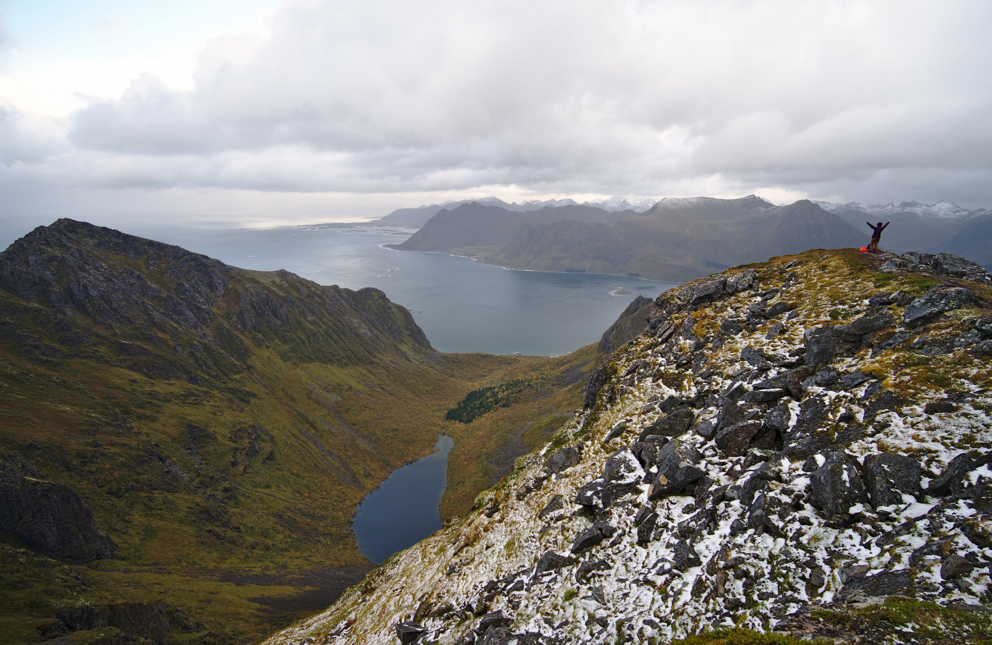
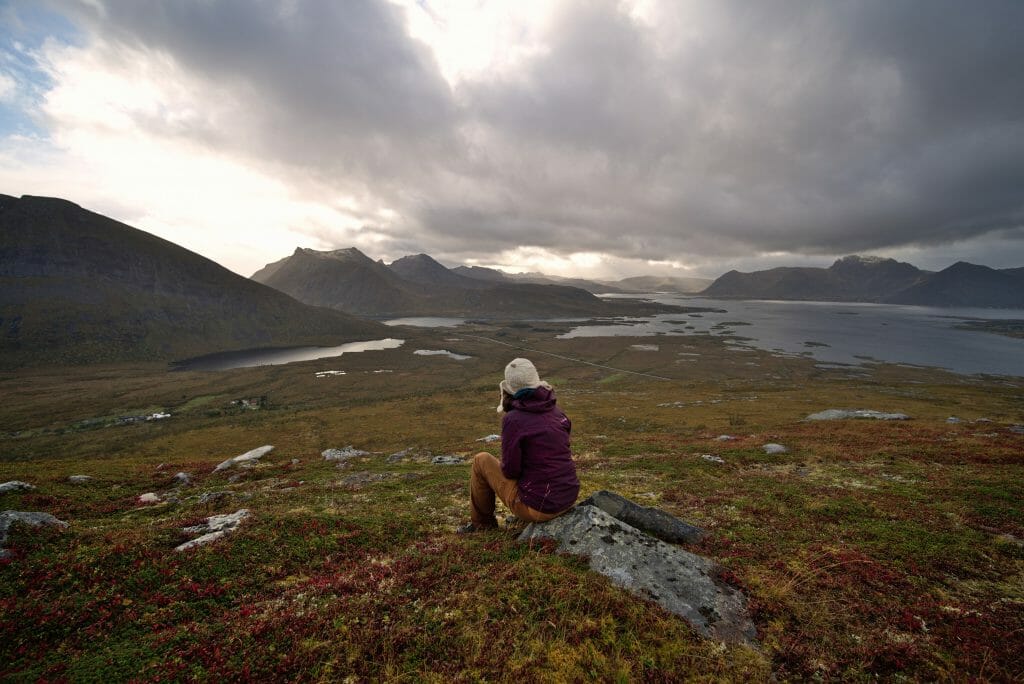
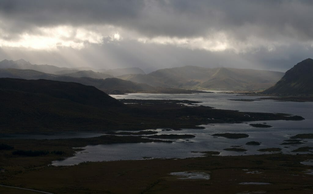
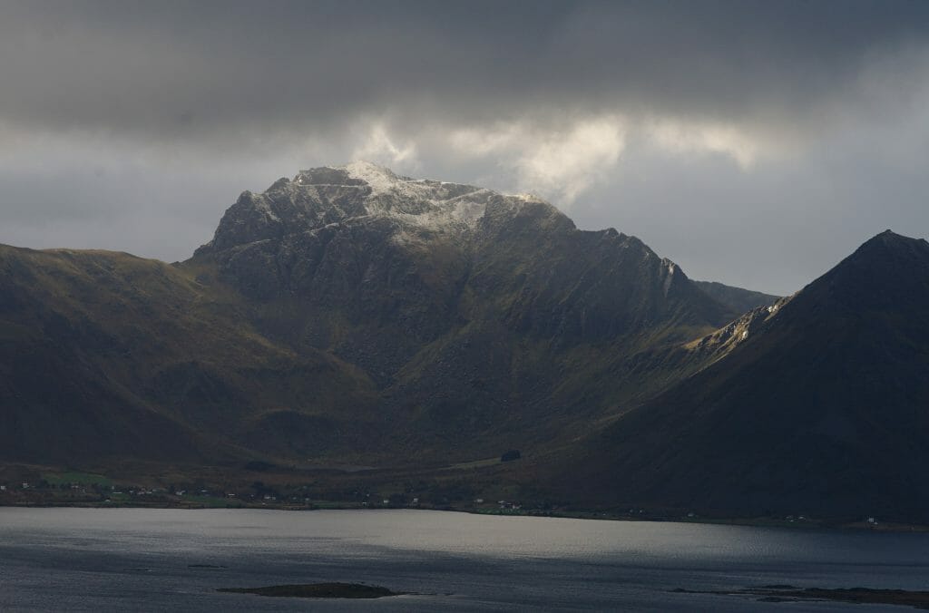
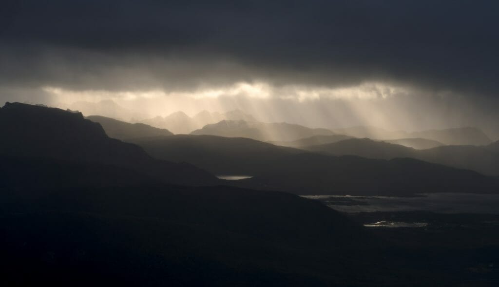
This hike is really accessible to everyone and does not represent any difficulty. For once in the Lofoten, the trail is well marked and the slope is rather gentle up to the summit. First we go up into a small wood to reach large meadows that we will never leave until the summit. We arrive at the height of a small lake when the path turns left to climb even more. Then simply follow the cairns to the top where a splendid 360 degree view awaits you.
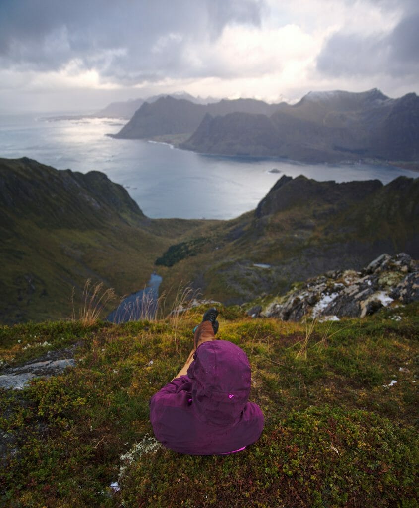
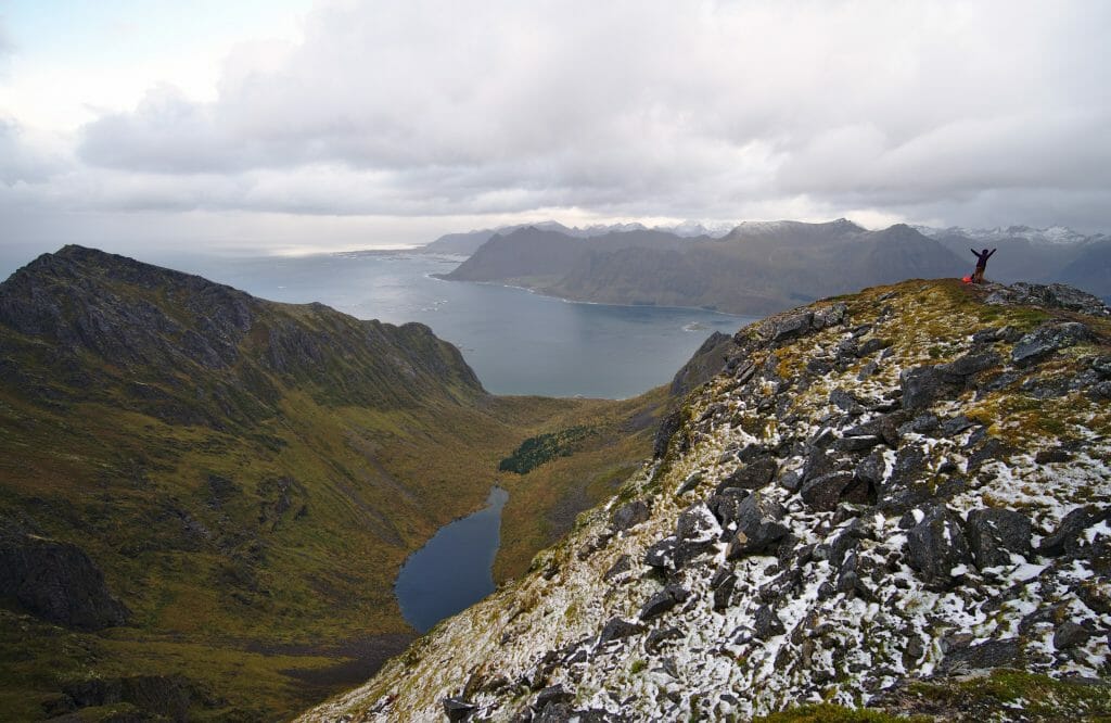
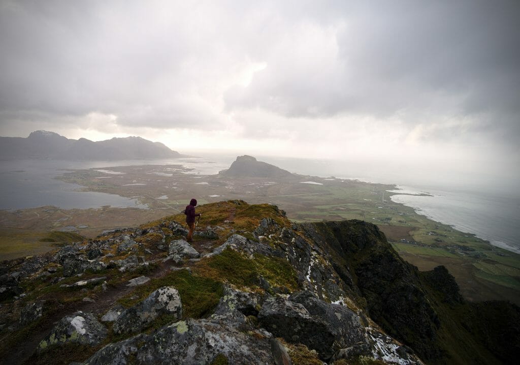
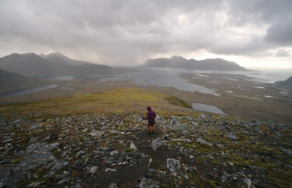
In our case on this hike, we were treated to all kind of weather… rain, snow, hail, sometimes quite strong winds and even some weak rays of sunshine. But the view was worth it, don’t you think?
Nonstinden (Ballstad)
Useful Infos
- Distance 4,2kms
- Elevation +- 460m
- Difficulty medium
- Length 2-3h
- Start small car park on the side of the road that goes to the right at the end of the 818 that arrives in Ballstad
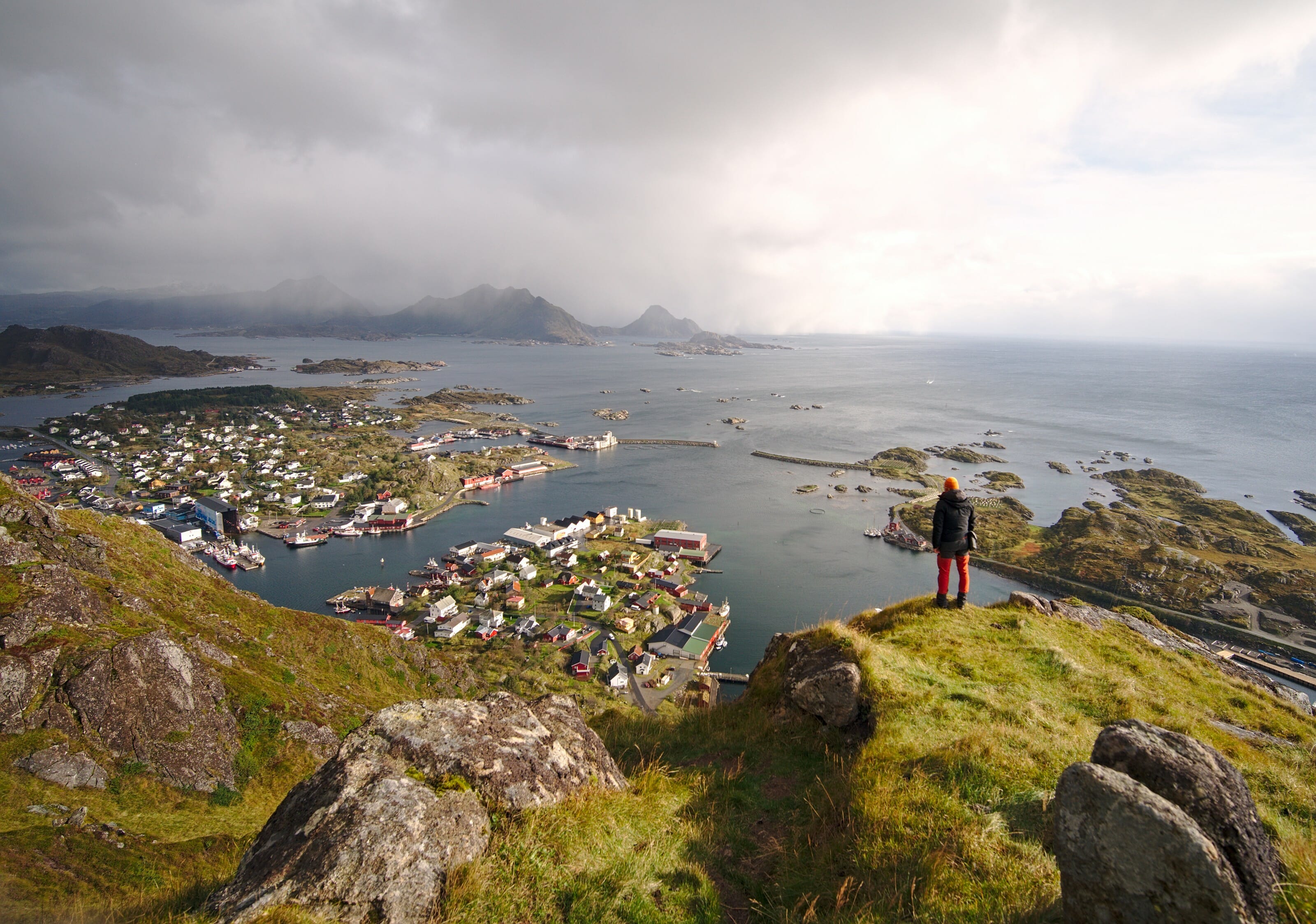
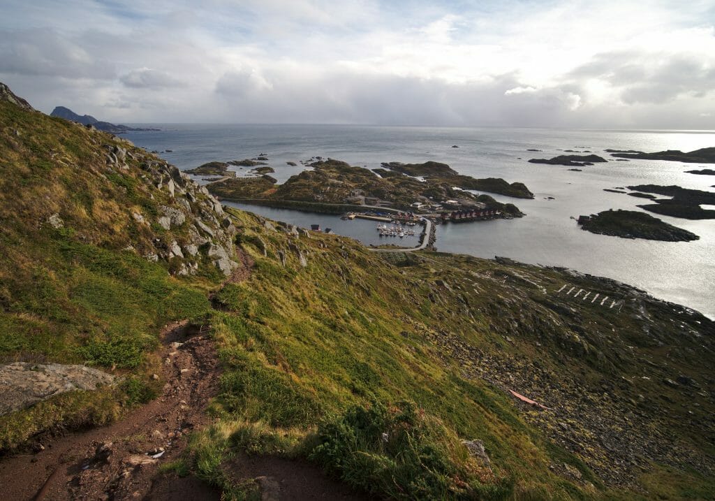
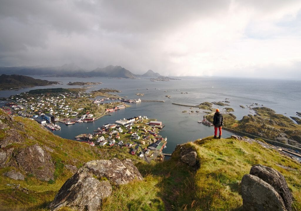
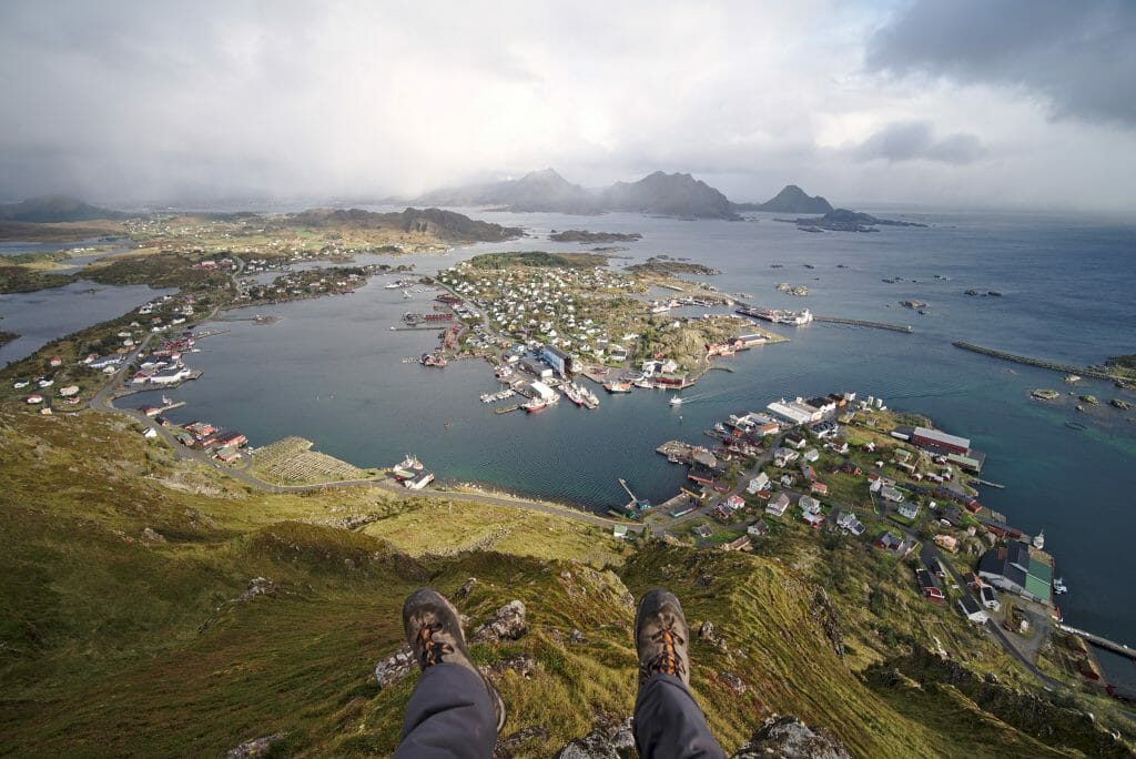
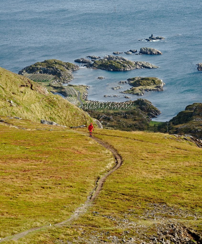
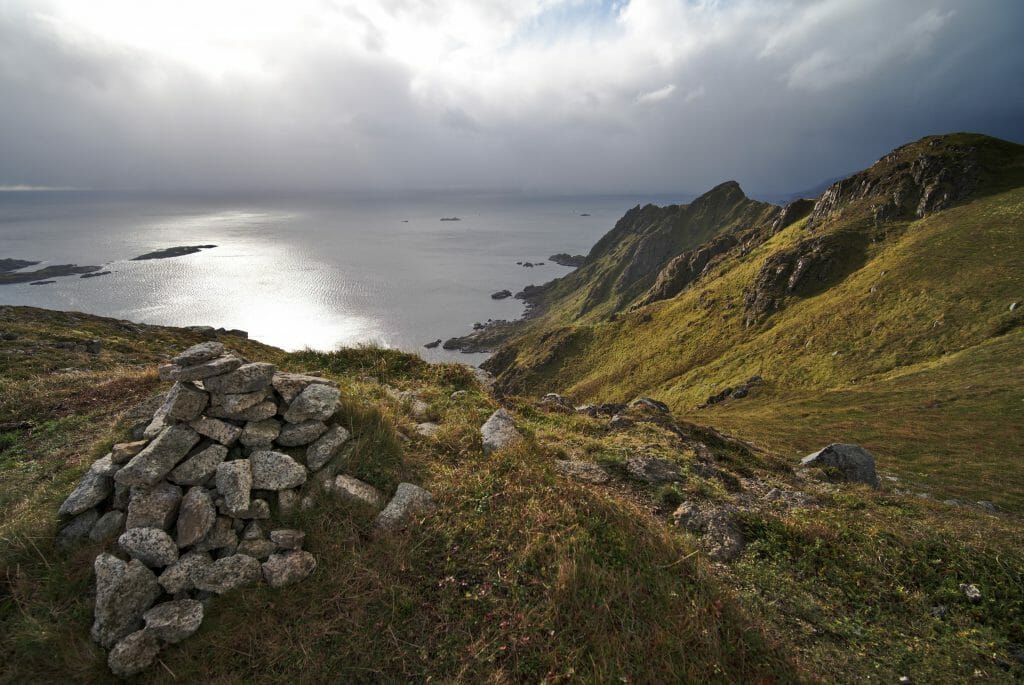
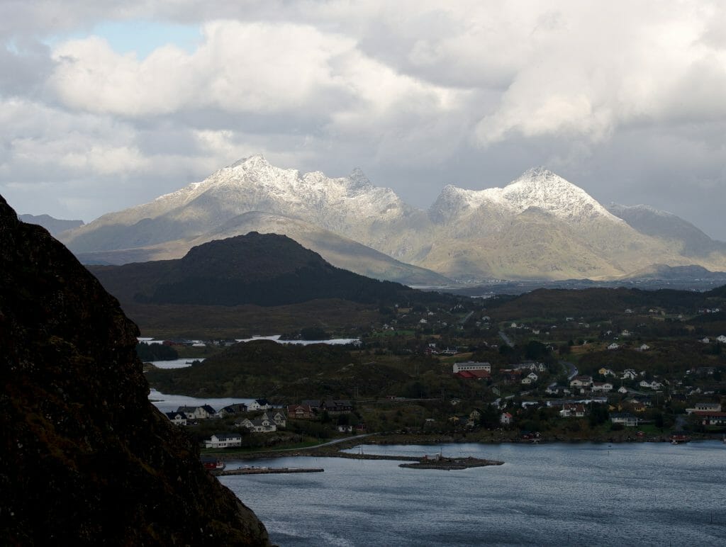
We came across this hike a little bit by chance, we’ll say. We had come to Ballstad with the car and we saw a path that went up to a viewpoint that looked nice. As a slight clearing was looming on the horizon, we decided to go up and see it with our own eyes. After a very steep first part, we arrive on a plateau with a gorgeous view on the village of Ballstad. We continue to climb on the right side of the plateau to the top of the Nonstinden from where we have a magnificent 360 degree view of the islands. We go down the ridge on the left side of the plateau. At one point, we turn left to come back towards the steep passage we had taken on the way up and which goes down to the car park. Be aware that at this junction it is also possible to continue straight ahead and go down the path that goes around the cape and also returns to the car park by the coast.
For this hike, we almost gave up at the beginning because we took the snow after only 5 minutes of walking. But we had the good idea to continue because we were then treated to one of the most beautiful clearing of this 10-day stay in Lofoten 😉
Kvalvika beach and Ryten
Useful Infos
- Distance 12,3kms
- Elevation +- 860m
- Difficulty medium
- Length 5-6h ou à faire sur 2 jours (avec bivouac à Kvalvika)
- Start Parking of Litlkrystad
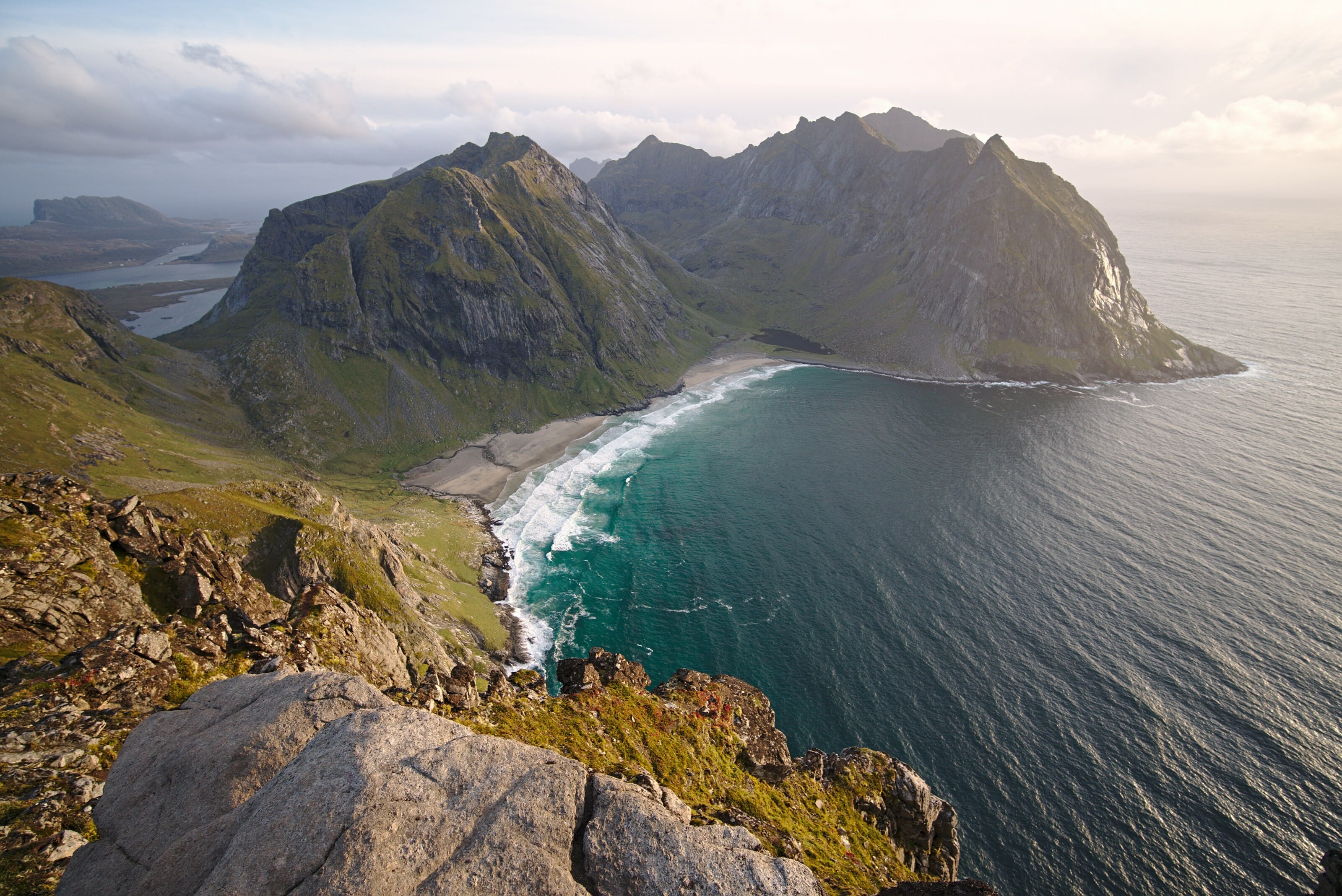
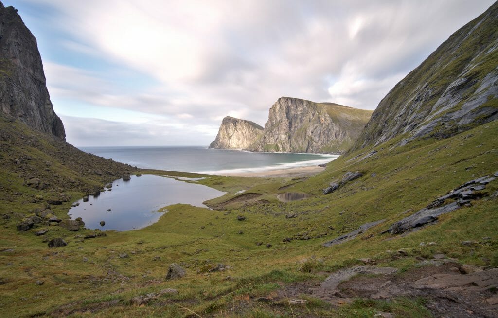
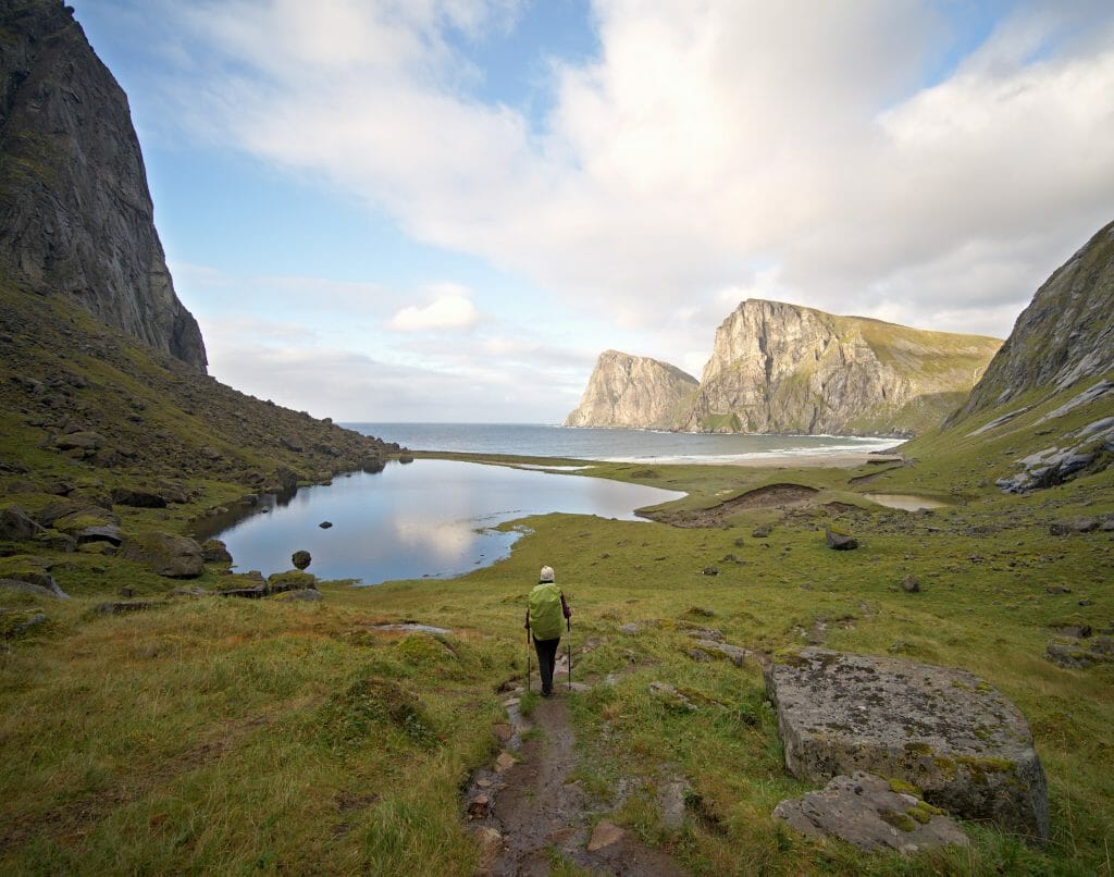
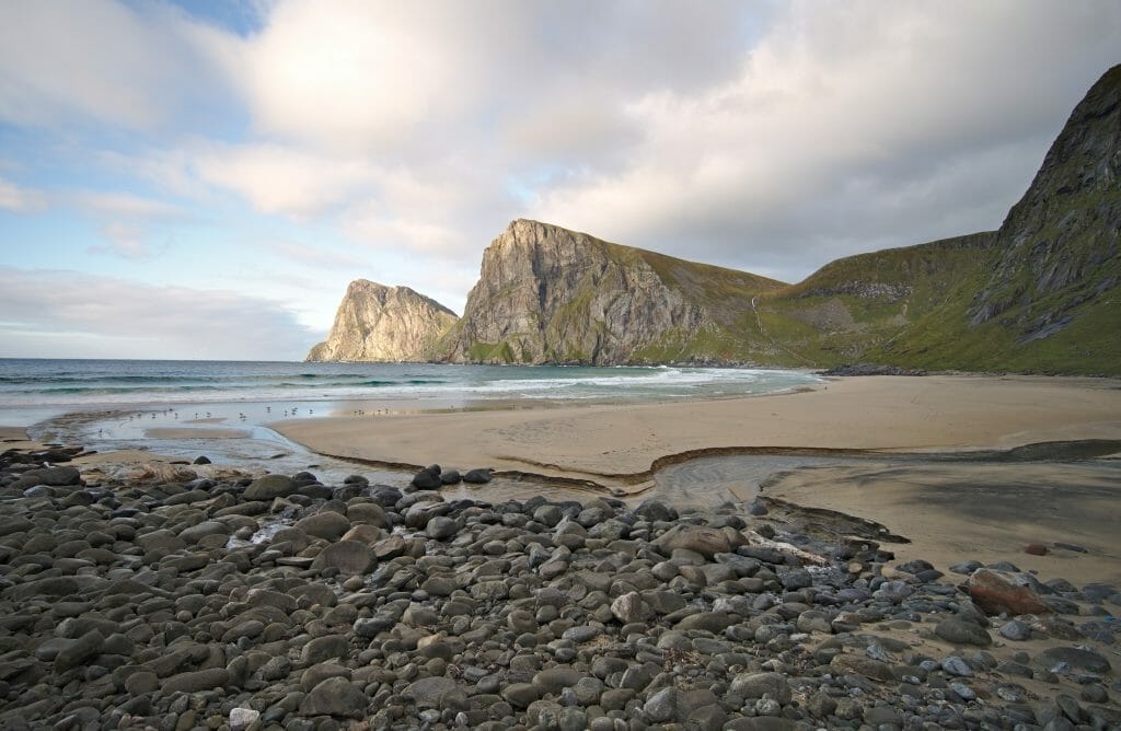
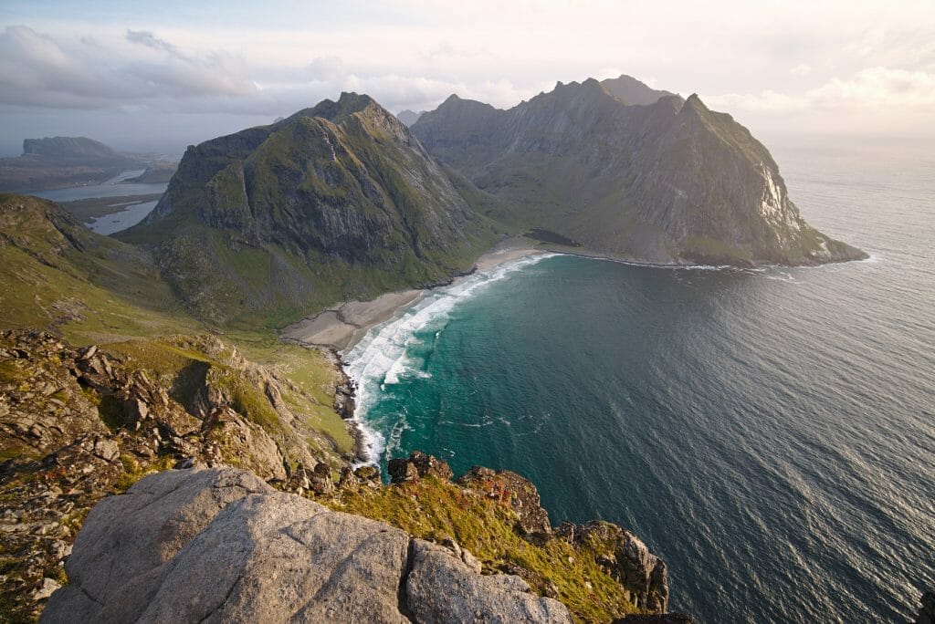
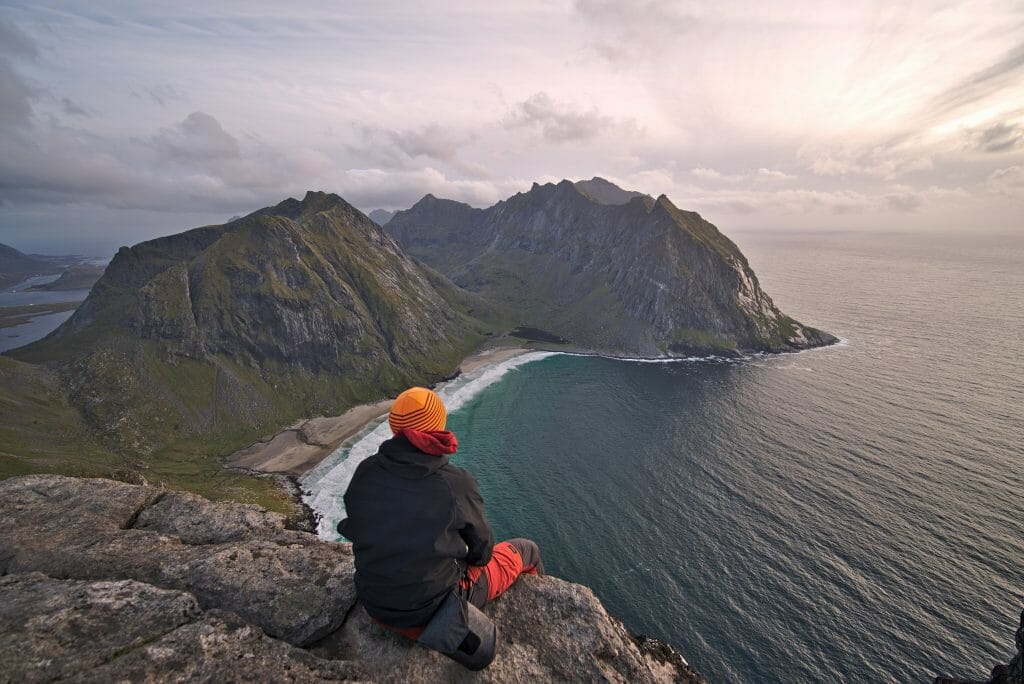
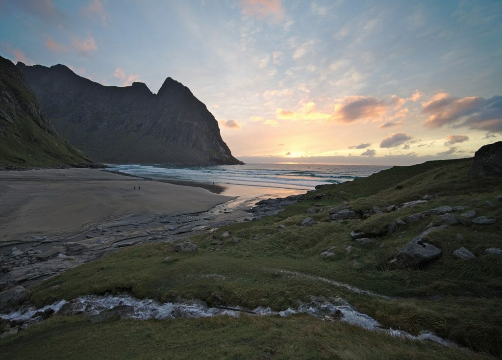
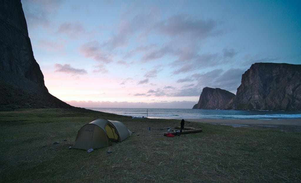
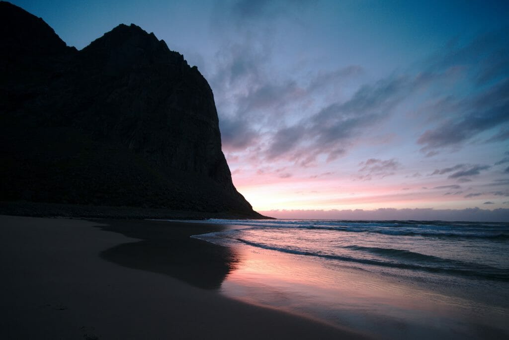
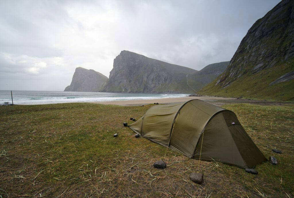
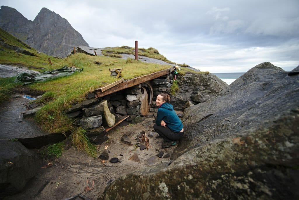
The view from the top of the Ryten on Kvalvika Beach is one of the most beautiful (and famous) of the Lofotens. We had imagined a 2-day itinerary starting from the Litlkrystad car park (green flag) to bivouac on Kvalvika beach, climb to the Ryten at sunset and return the next day. Normally, it’s easy. It takes 1-2 hours to get to Kavalvika beach, 2-3 hours to get to Ryten and back down to the beach and 1-2 hours either to get back to Litlkrystad or to the other car park (indicated by the red flag).
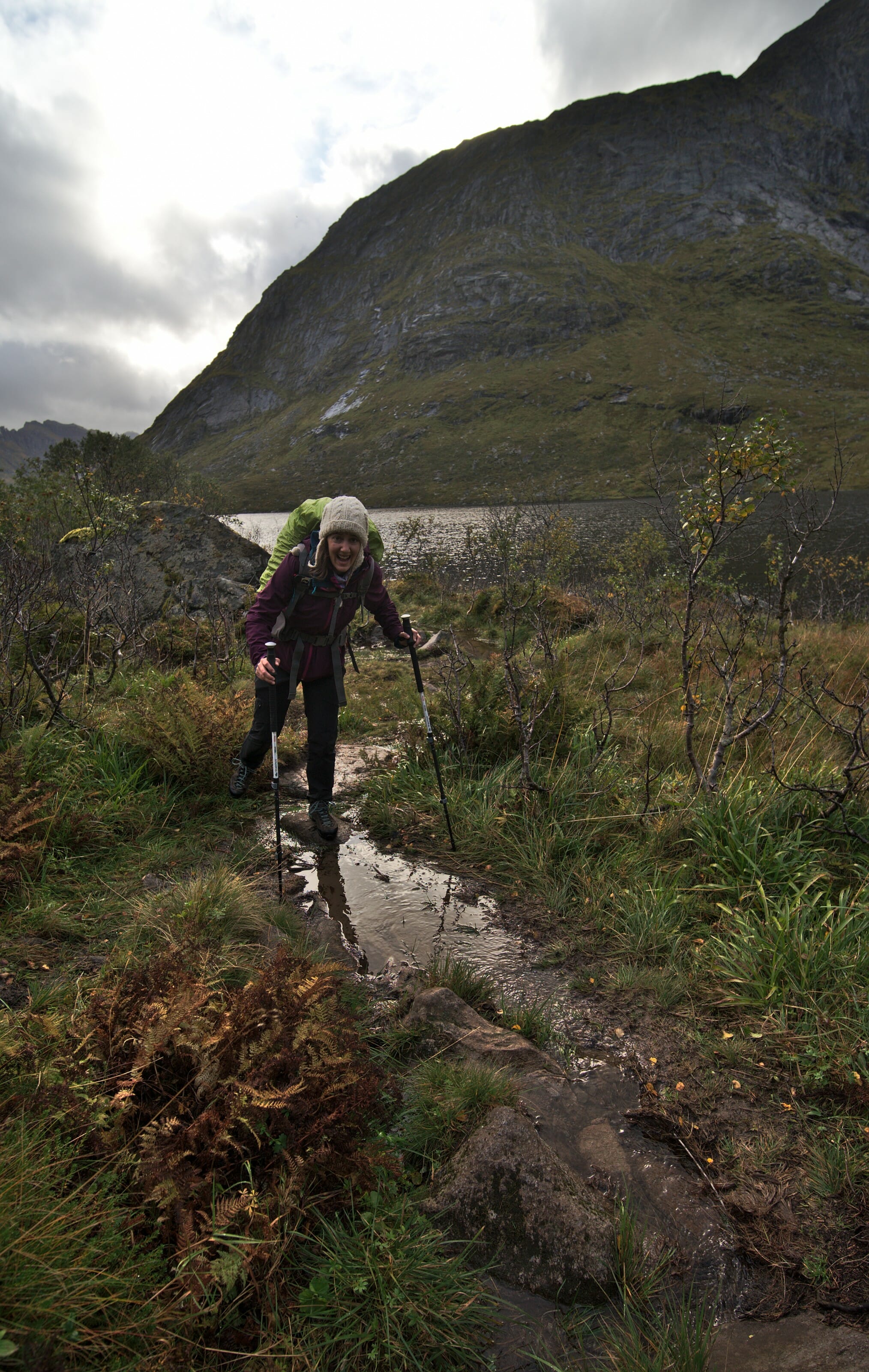
But for us it was a little more complicated… we already needed 3 hours to get to the beach from Litlkrystad because the trail was so wet (but almost impracticable). So I sprinted alone to climb to the top of the Ryten just in time to see the sunset. After going down, we set up the tent and fixed it with stones. And despite that, we still had one of the worst nights of our lives in a tent. The wind shifted in the middle of the night and we started to have big gusts of side winds that caused the tent to bend… add to that a good dose of rain until the next morning 11am. In the end, we were more afraid than hurt because the tent held up well but we didn’t sleep at all that night.
Matmora
Useful Infos
- Distance 9,7kms
- Elevation +784m -768m
- Difficulty medium
- Length 4-5h
- Start Parkin just before the entrance of Delp village
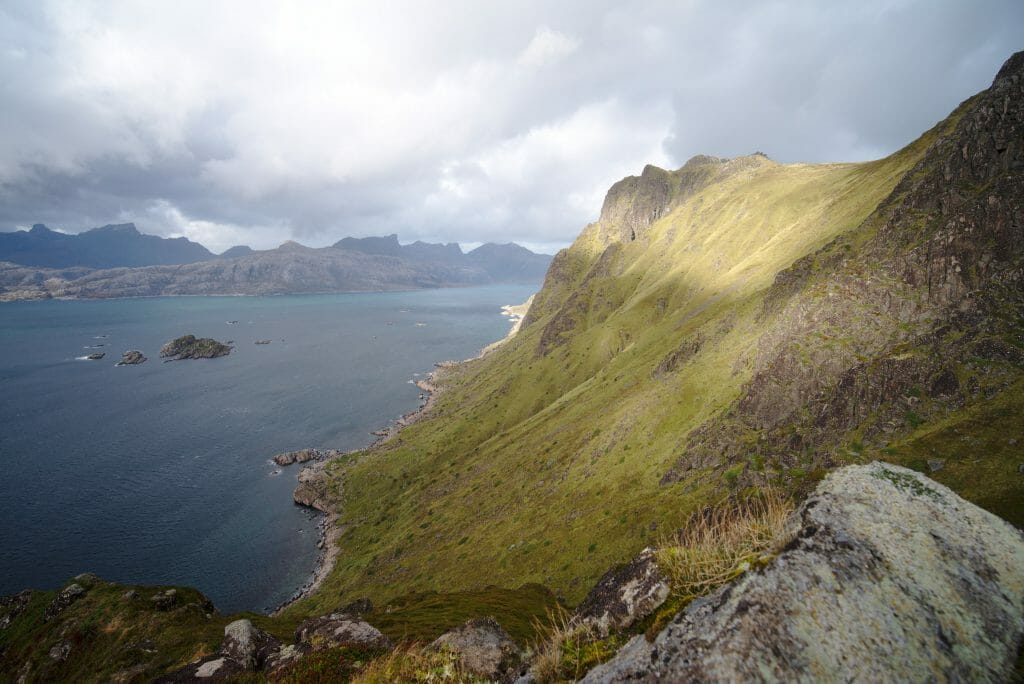
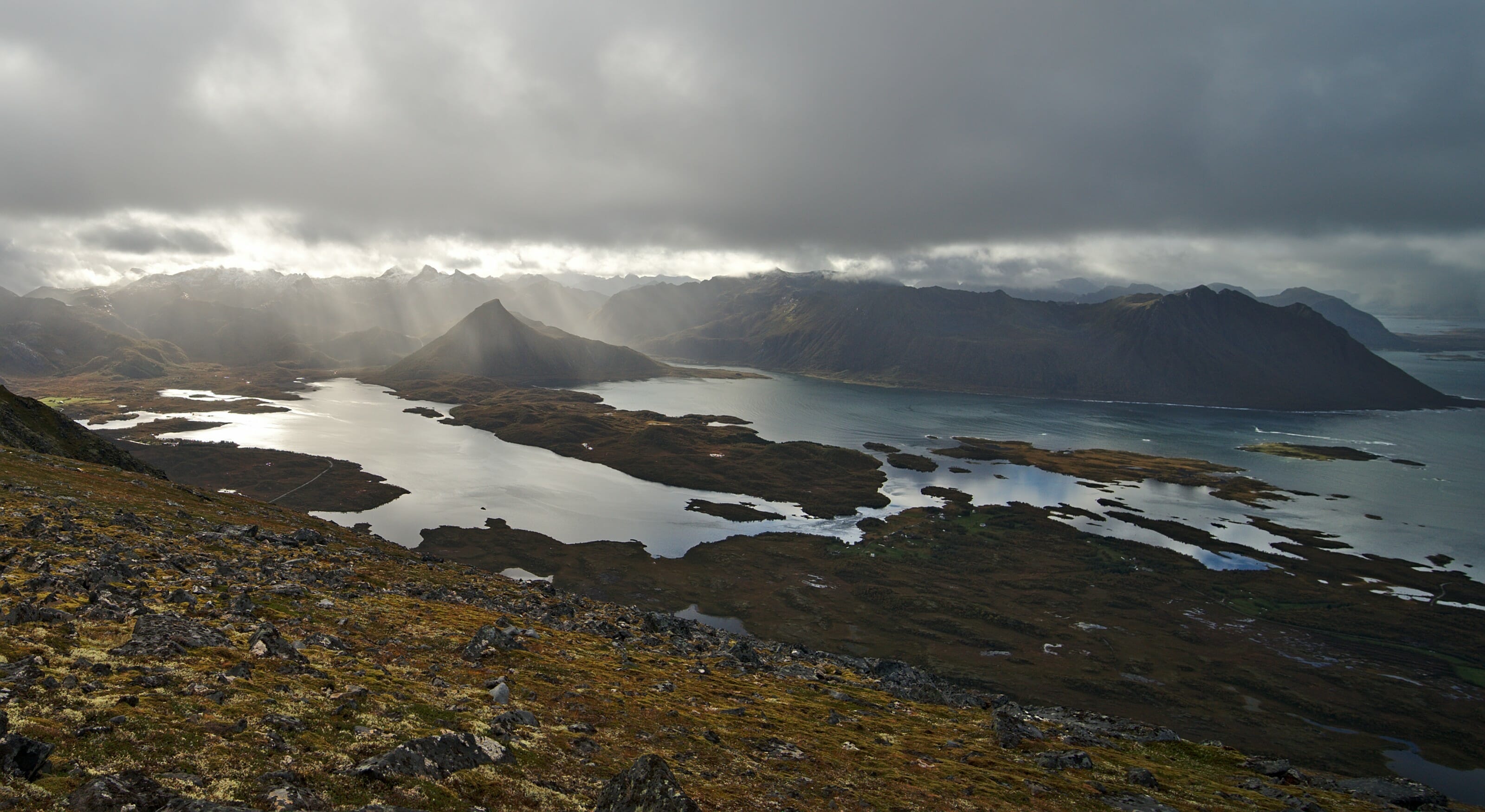
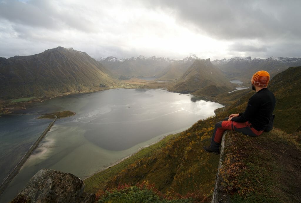
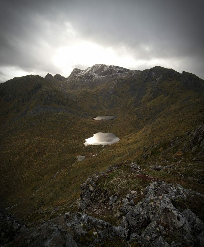
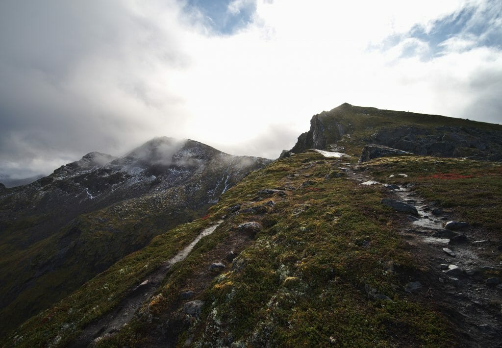
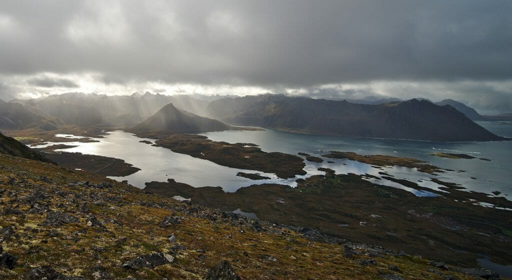
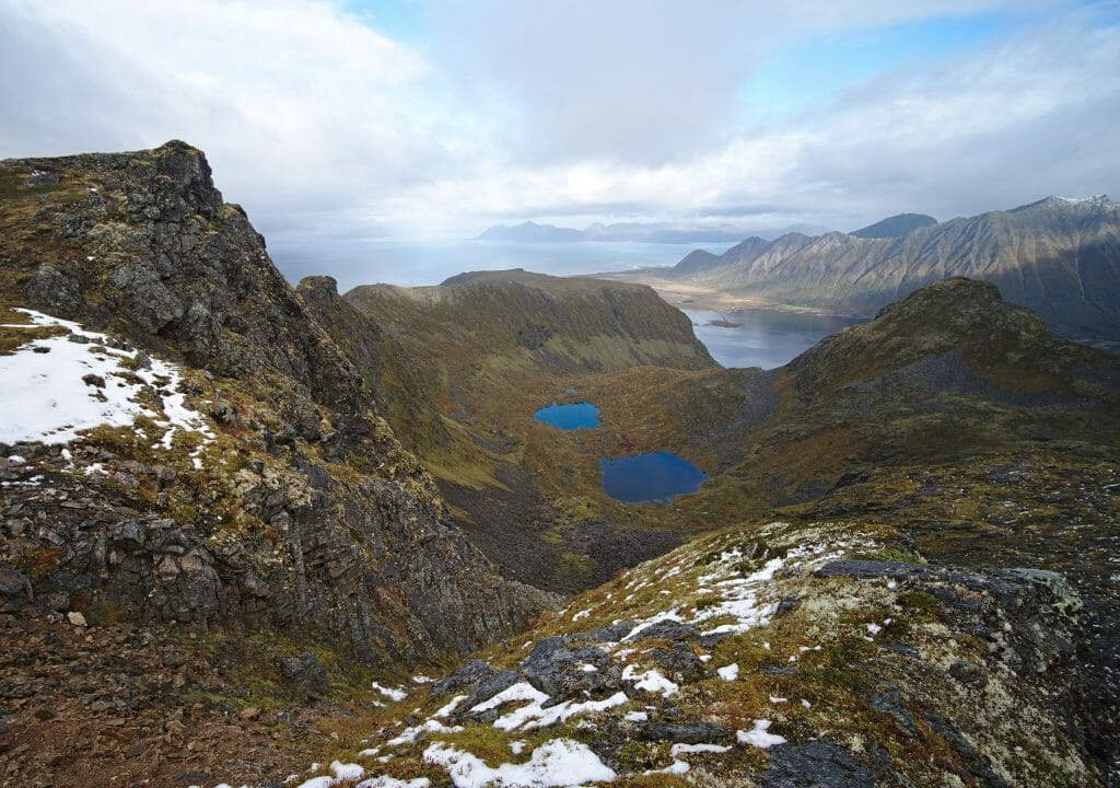
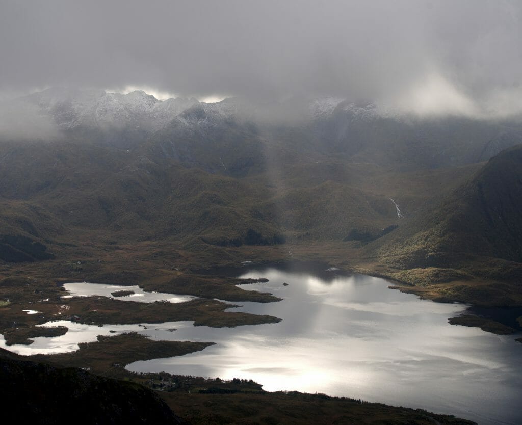
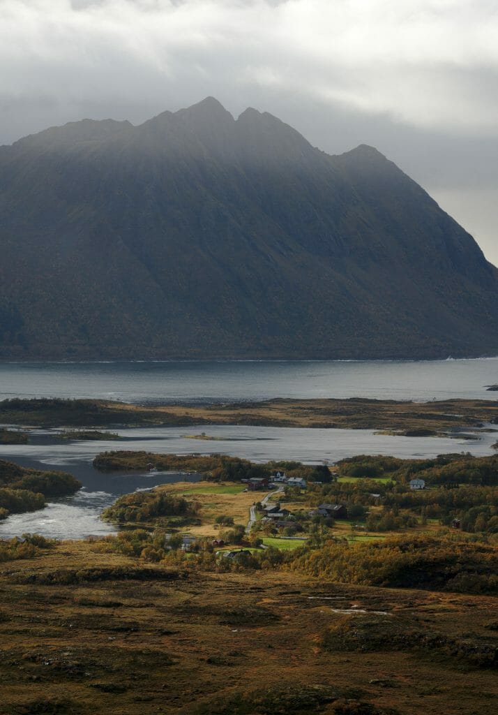
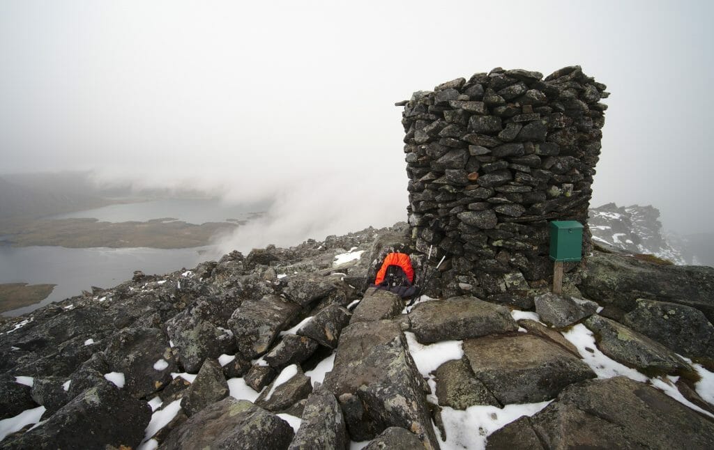
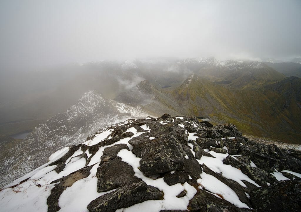
The hike up to the top of Matmora is a beautiful traverse that presents few difficulties with spectacular landscapes! We start at the car park just before the village of Delp following the signs for Matmora. It goes up quite steeply from the beginning but you quickly reach a plateau that offers very beautiful landscapes on the fjords and mountains around. We follow the path along the plateau to the left and then follow the ridge with the summit of Matmora as a backdrop. The ridge is a little narrow in places but does not present any difficulty. We reach the very mineral summit (with an huge kern) by following the red markings. The descent is steeper and shorter but not more difficult.
During my hike, I had a nice clearing during the whole climb. The finish at the top was a little more difficult because it had already snowed a little at the top. Then I had to hurry back down because the bad weather was coming. It didn’t miss because I caught snow and then rain all the way down 😉
Festvagtinden
Useful Infos
- Distance 2,8kms
- Elevation +- 500m
- Difficulty medium/hard
- Length 2-3h
- Start parking before the bridges of Henningsvaer
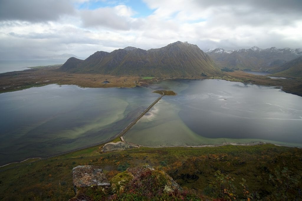
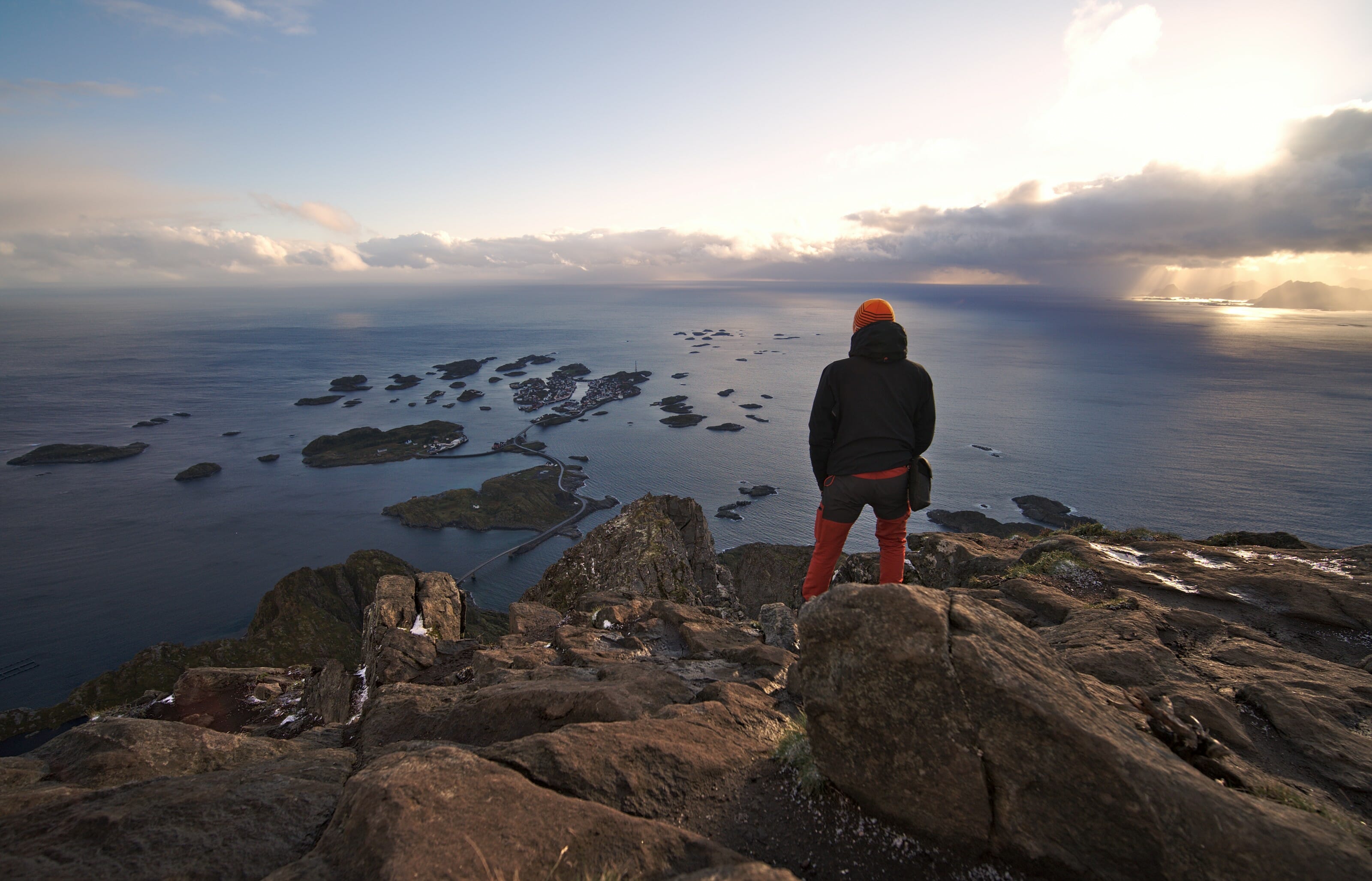
We finish this article in style with the hike that I preferred in the Lofoten… but also the one that was the most difficult (but not so difficult either). This is the kind of hike that gives you a little insight into the kind of slope you can have in Lofoten but never beyond the limits of what is reasonable either. It’s easy, from the road it seems that the Festvagtinden is impossible to climb… and yet. We cross the road and take the path behind the trees. The path immediately climbs steeply into a large scree block. As you climb up, you always stay to the left and ignore the paths that go to the right. From a certain level, you pass over a lake which gives a superb view with the sea in the background. The trail then continues to the top and is steeper and steeper (if you are afraid of heights, it may not be a hike for you). The path leads to a ridge and then turns left to the top with an absolutely breathtaking view of Henningsvaer and its small islets. On the way down, I advise you to turn left to the lake to make a loop.
For this hike I had a nice weather window except for a little snow on the way down. On the other hand, I met several people on the way who were in difficulty because they didn’t have enough experience or good shoes (like converse…). If you are not sure about what you can do or if you are afraid of heights, don’t go on this hike! Same thing if the weather is not good.
I really hope you enjoyed this article about hiking in the Lofoten and my pictures as well. Honestly I was blown away by these northern Norwegian islands even though the weather put our nerves to the test.
After that I only showed you our most beautiful pictures of the Lofotens, but don’t forget that we spent a good part of our time waiting in the car or in cafés hoping that the weather would calm down 😉 . But that’s also what Lofoten are all about and I really believe that if you decide to visit these islands too, you must come with the desire to face the elements, to go out as much as possible even if the weather is not great. And if you approach the Lofotens with this state of mind, you will be rewarded, believe me!
Accommodation in Lofoten: Find below a map with available hotels and apartments. Or go directly to Booking to see the availability. You will find both hotels and Rorbur (lodges on stilts that usually have a kitchen)
And you…Have you ever been to the Lofotens before? How did it go for you?
P.S. This article contains affiliate links for RentalCars. This is the service we always use to find cheap rental cars. If you use this link to rent your car, you will not pay a penny more and we will receive a small commission at the same time. This small gesture will help us to continue working on this site and to travel independently and at our own expense as for this trip to the Lofotens.



Join the discussion