In our last article Benoit told you about his little solo excursion on the steep paths of Koncheto Ridge in Pirin National Park. Today, it is me, Fabienne, who takes the lead to talk to you about our 3-day getaway in the Pirin National Park with overnight stays in huts. An absolutely superb hiking itinerary but with (slightly) less vertiginous trails than those of Vihren and Kutelo.
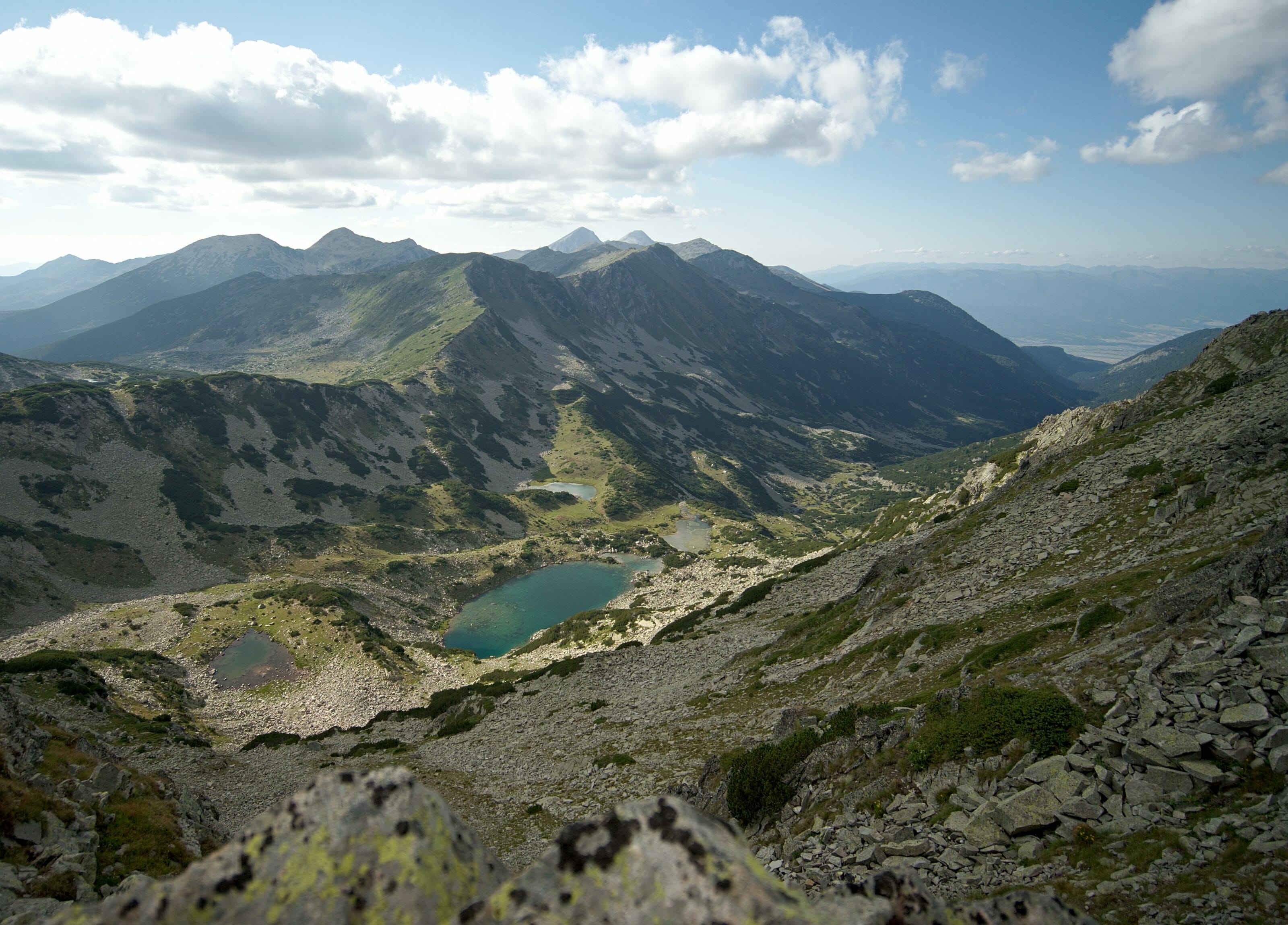
We took advantage of a nice weather window to leave our coworking in Bansko for a few days and went to see what the mountain huts looked like in Bulgaria. (spoil alert: it’s “different”)
3 days in the Pirin National Park
Key information
- Distance: about 34km (rather 40km if you count all the detours)
- Elevation: 2000m of positive altitude difference and just as much negative
- Difficulty: Average – Hard (depending on the days)
- Accomodation: in huts
- Food: possibility to eat in the huts (but you still need to have snacks and picnics with you for lunch)
- Water: very present on the course
General map of our hike in the Pirin
Note: for each stage you will find the map of the day. Each time, a button will allow you to access the map on AllTrails. From AllTrails you can then download the track to have it with you on your smartphone or connected watch (we advise you to have it with you in offline mode).
The itinerary is the one we had planned (and realized) but you will see it we made some extras. You will find the few suggestions for detours in the details of the days.
The main assets of this hike? The absolutely incredible landscapes with dozens of spectacular views of the mountain lakes. Spending 2 nights in Bulgarian mountain huts was also one of our strong points. Not so much for comfort, but very clearly for the experience
The weak point? The trail is very rocky at times and it is a bit like a “pawbreaker”. The distances are not necessarily very long, but the days are very busy. 😉
Video of our hike in the Pirin mountains
Beforw we start detailing all the different stages we’ll start with a small video summary of our hike (english subtitles available)
Day 1: From Vihren hut to Sinanitsa hut
It was at 8am that we left our apartment in Bansko to take the first bus to the Vihren hut. We arrived at the hut at around 9:15.
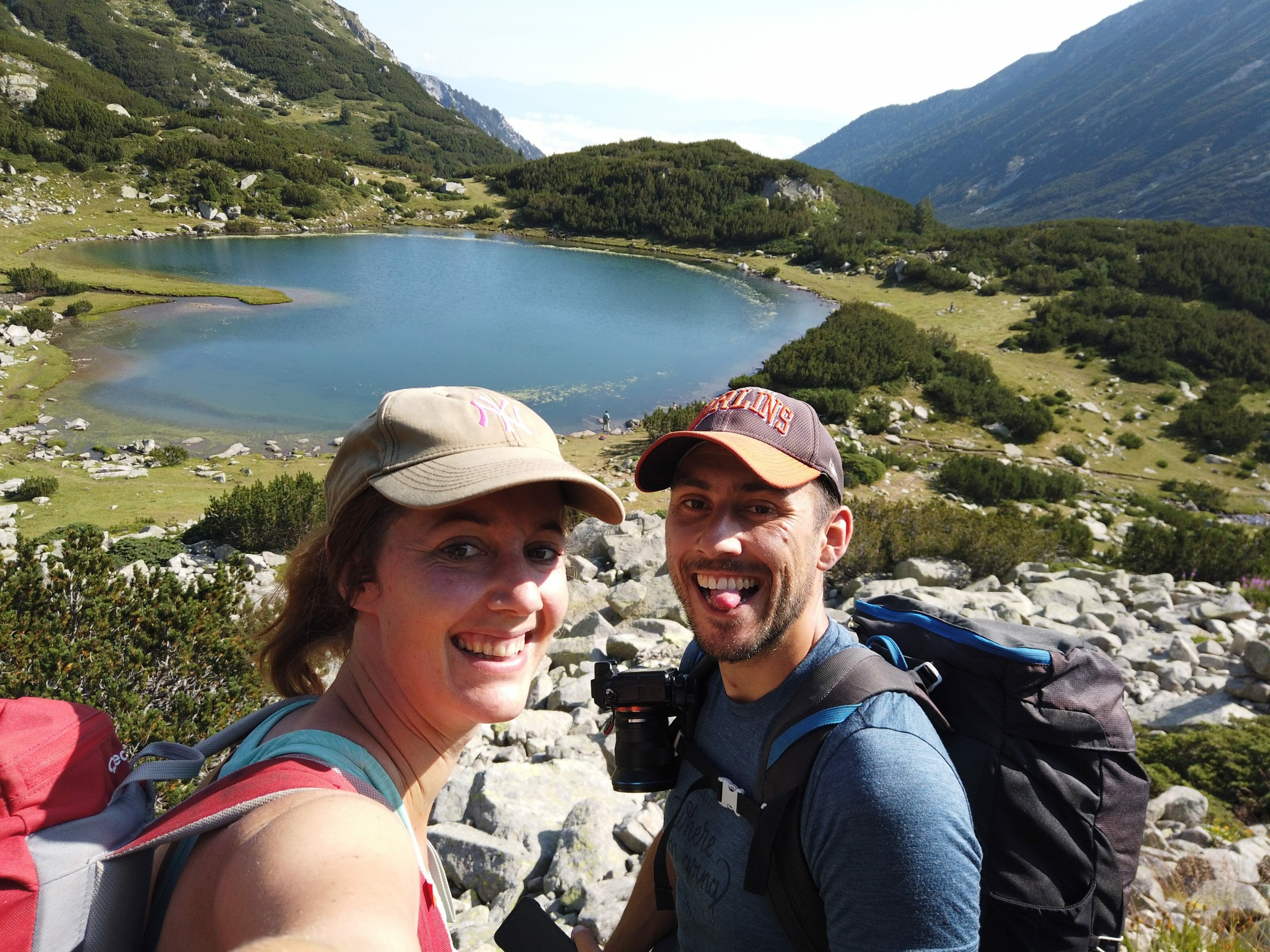
The idea of this day was to reach the Sinanitsa refuge and eventually make a detour to the summit of Sinanitsa (a mountain of the same name). The stage, without the detour to the summit, was announced as being relatively short: 4 hours of walking.
As usual, before we start hiking in the mountains, we take a look at our weather radar application. According to forecasts, a big storm was expected to fall on us at noon… Hmmm… so it left us less than 3 hours to pass the last passes and not get caught in the storm by being exactly on the ridges (being at a pass in a storm is usually REALLY not a good idea).
In short, we briefly hesitated to wait for the storm to pass and leave only in the afternoon, but finally we looked at the map and the elevation changes and thought it would be feasible to do it in 3 hours. (well, it was mainly Benoit who thought that… I was a little more in doubt).
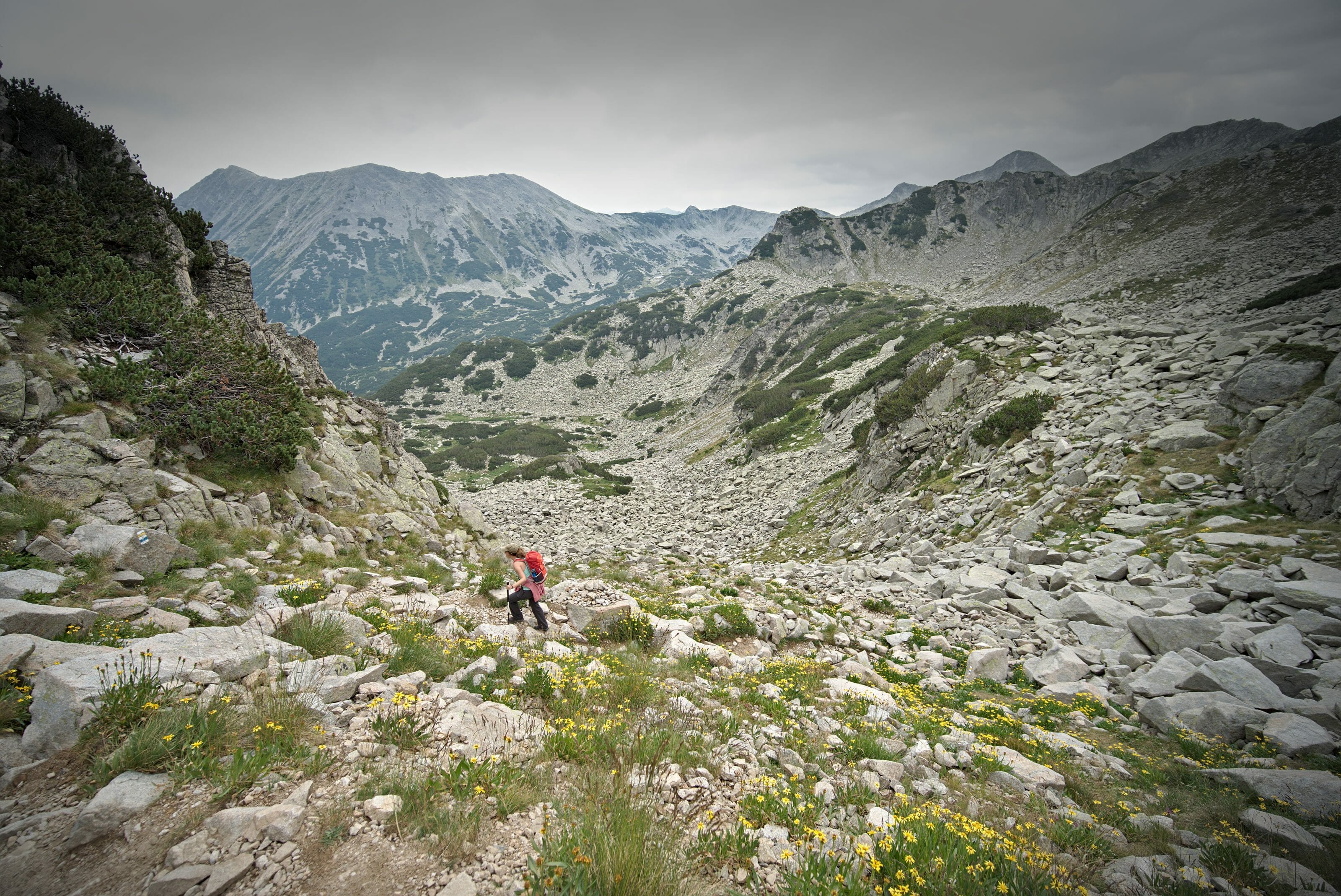
Motivated by the prospect of avoiding ending hit by a lightning strike at the top, we walked up quite quickly! Less than 2h30 later we had reached the first big pass and we were in the front row to see the storm coming…
It was really funny, because during the whole second part of the hike we felt that the storm was “just behind us” but in the end it was like being held back on the other side of the pass. Luckily we never got wet! 🙂
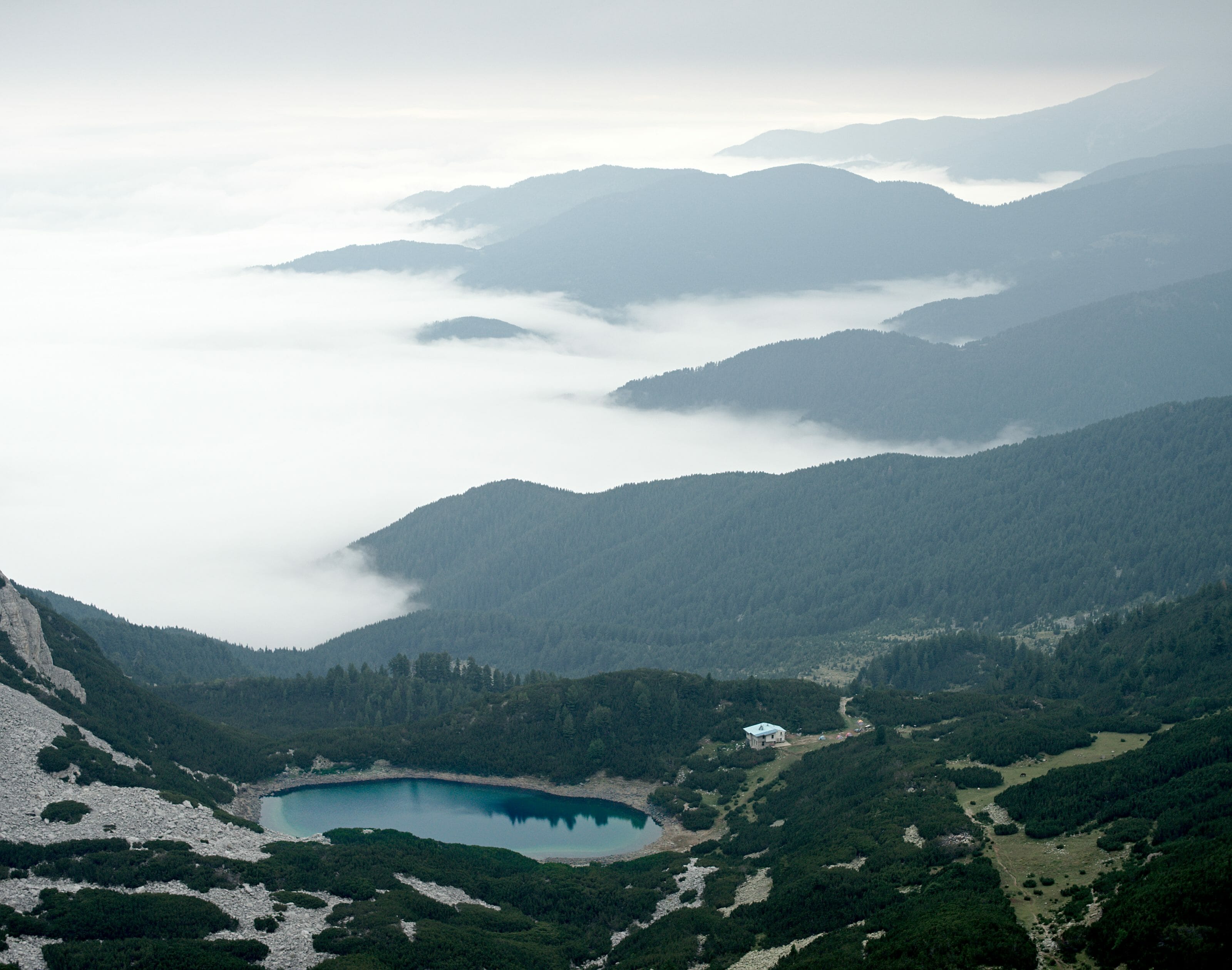
Arriving at the second pass above the refuge, we took advantage of the better forecasts to have a good picnic at the top while enjoying the view of the sea of cloud below. As the weather was still quite uncertain, we gave up on the Sinanitsa summit (I must admit that it was mainly Benoit… personally I was only moderately motivated by this detour…) 😉
Info D.1
- Distance 7,6km
- Elevation 598m + et 378m –
- Duration Count about 4 hours of hiking time
- Markings We follow the light blue path then the brown one.
- Water No need to worry about finding water several times during the day.
Note: If you have the courage (and calves) you can extend this stage by going through the summit of Sinanista. From the pass the climb didn’t seem very difficult, but the path that goes down to the refuge seemed very rocky and very steep…
Map of this stage:
Download the route on AllTrails
Spend the night at the Sinanitsa hut
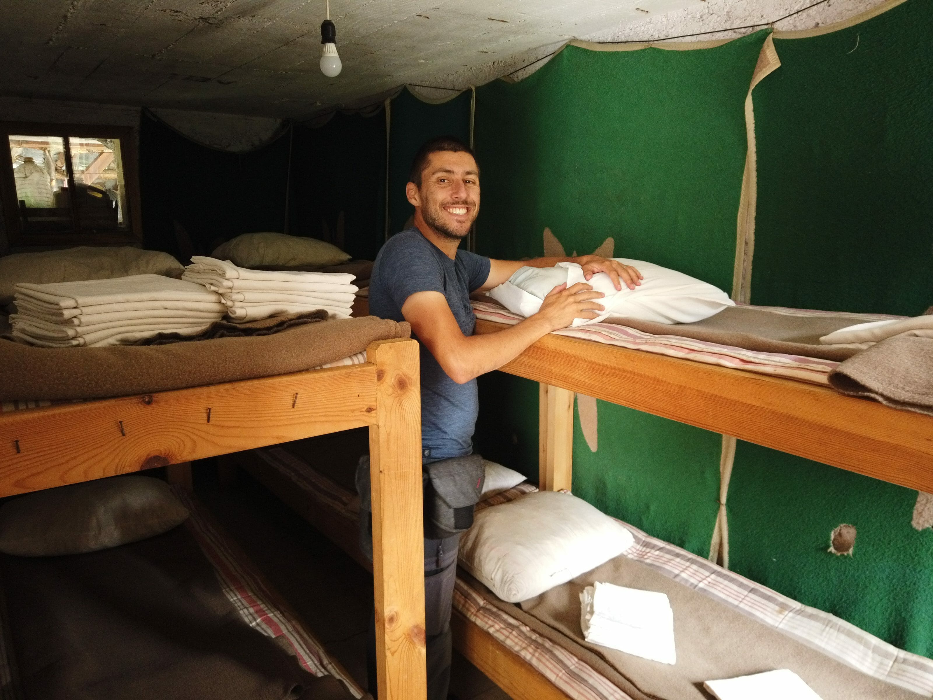
With all these stories of a storm threatening but never coming, it was barely 1pm when we arrived at the shelter. In order to occupy our afternoon we have opted for very different activities…. While Benoit left for the summit of Sinanitsa, I settled by the lake to “just close my eyes for two minutes”. Benoit will finally have done 2 hours of walking and what about me? 2 hours of deep sleep by the lake! 🙂
After playing ricochets for a while, we then went to the shelter for something to eat. The cuisine is basic, but it is not expensive (and very copious).
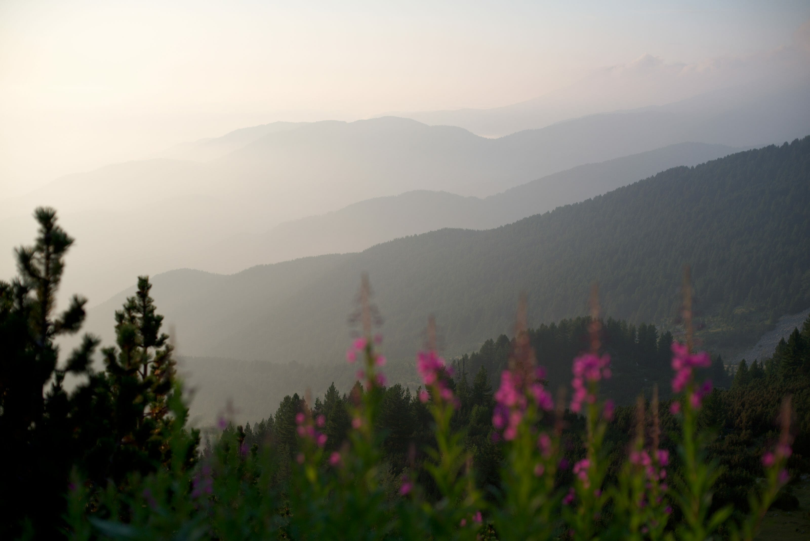
After dinner we went out again to admire the magnificent sunset over the lake and the valley just behind the hut. There is a great viewpoint not to be missed if you come to the area (it is on the left before the toilet);)
The evening will then have ended well in the heated hut while discussing with some Bulgarian hikers who spoke German or English while drinking a little glass of Rakia. At the end of the evening, a group of hikers started dancing to traditional Bulgarian music before the lights went out at around 10:30 pm.
Infos Sinanitsa
Overnight stay: 15 lev per person (7,5€) in a dorm
Overnight in the tent in front of the hut: 13 lev per person (the tent is provided by the hut)
The hut offers evening meals and breakfasts. The menu is translated into English but the guards do not speak English… 🙂
Toilets: toilets are located about fifty meters from the refuge, no shower (but there is a lake) 😉
The shelter provides clean sheets to put on the beds. A sleeping bag is therefore not essential.
More pictures from this first day
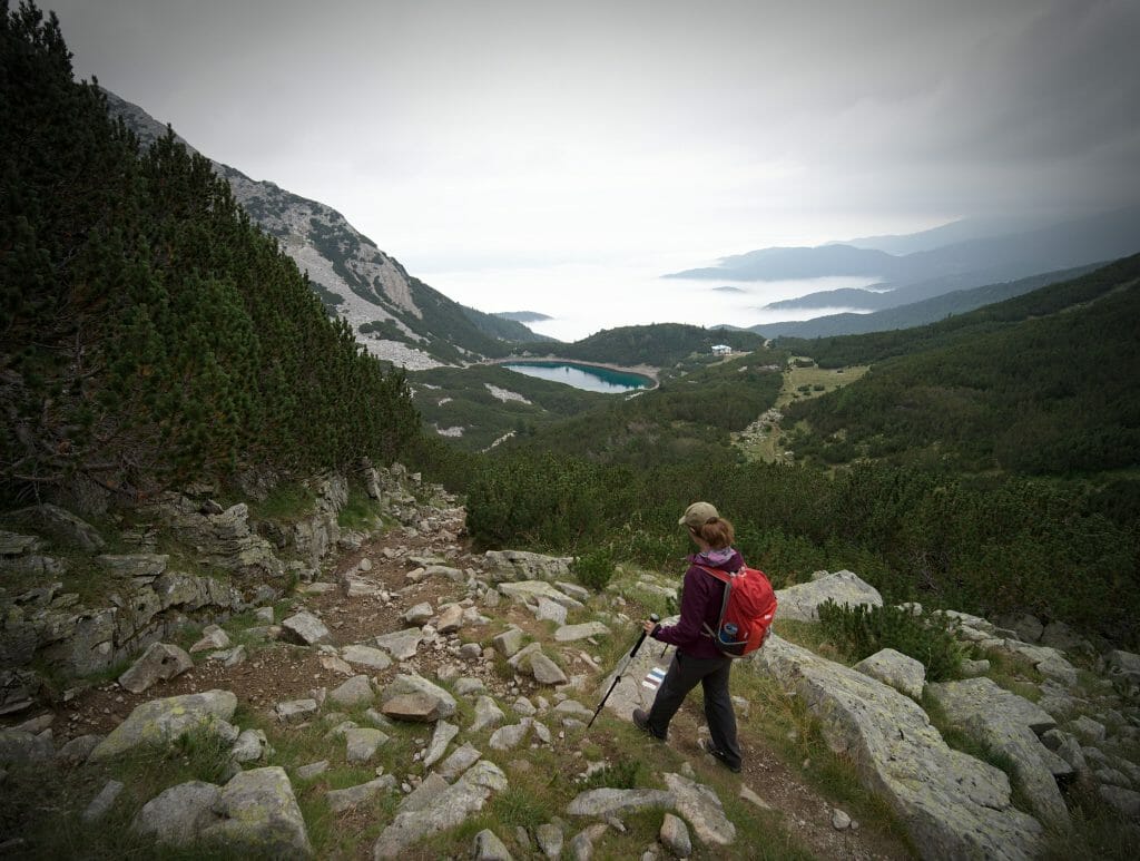
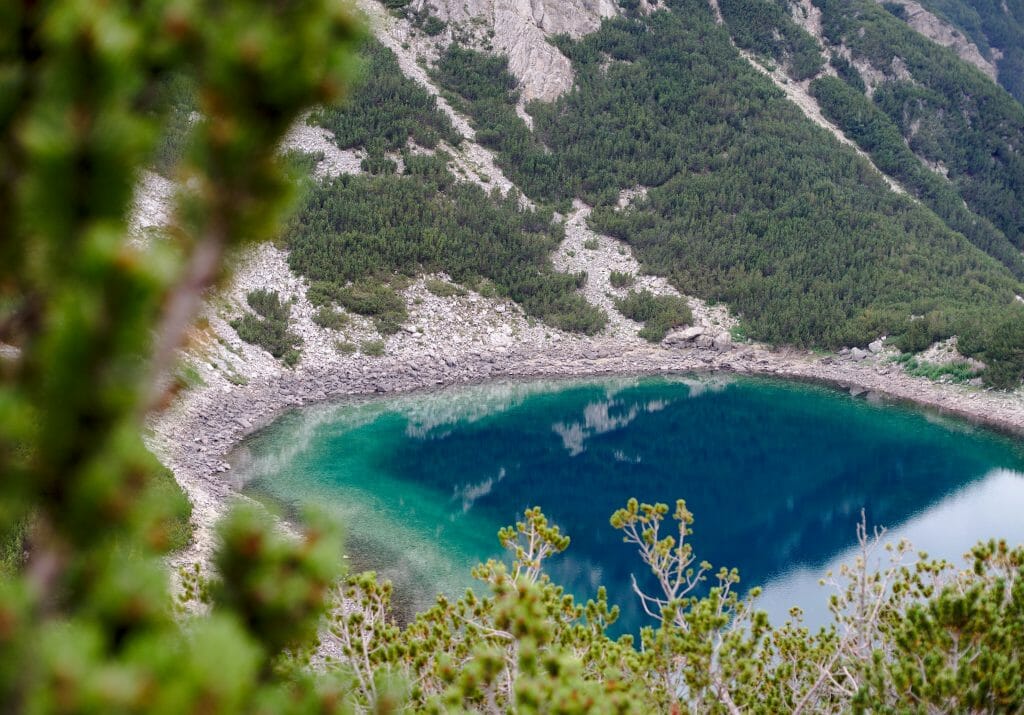
Day 2: From Sinanitsa to the Tevno lake
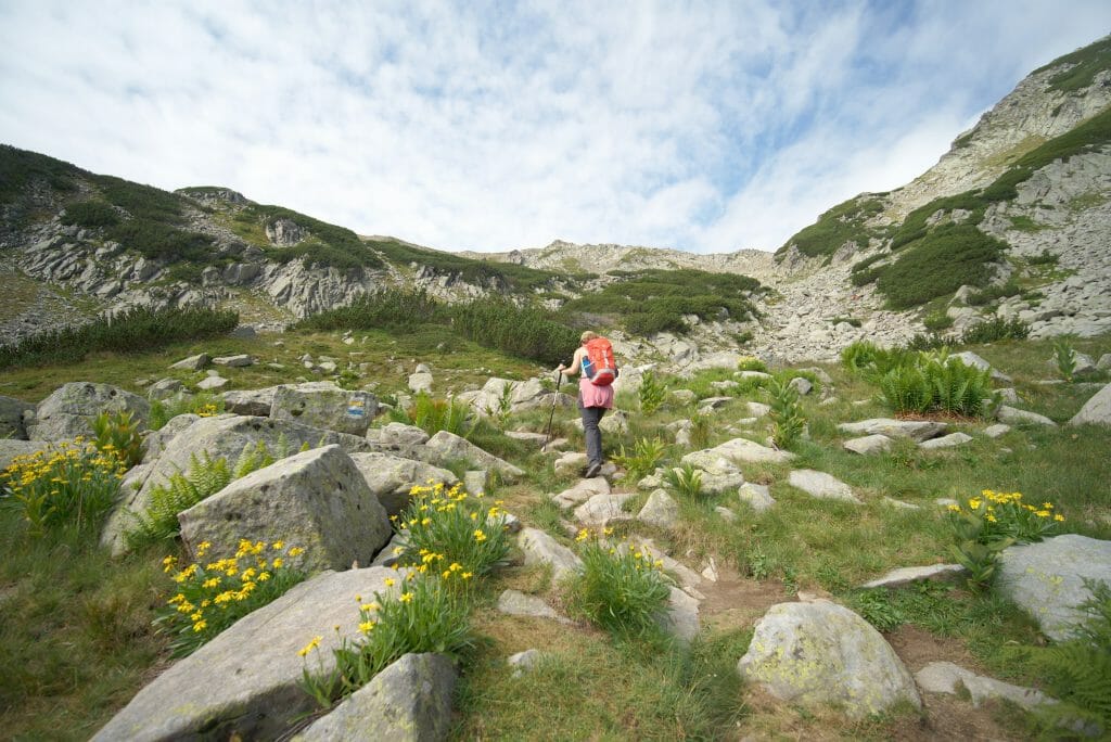
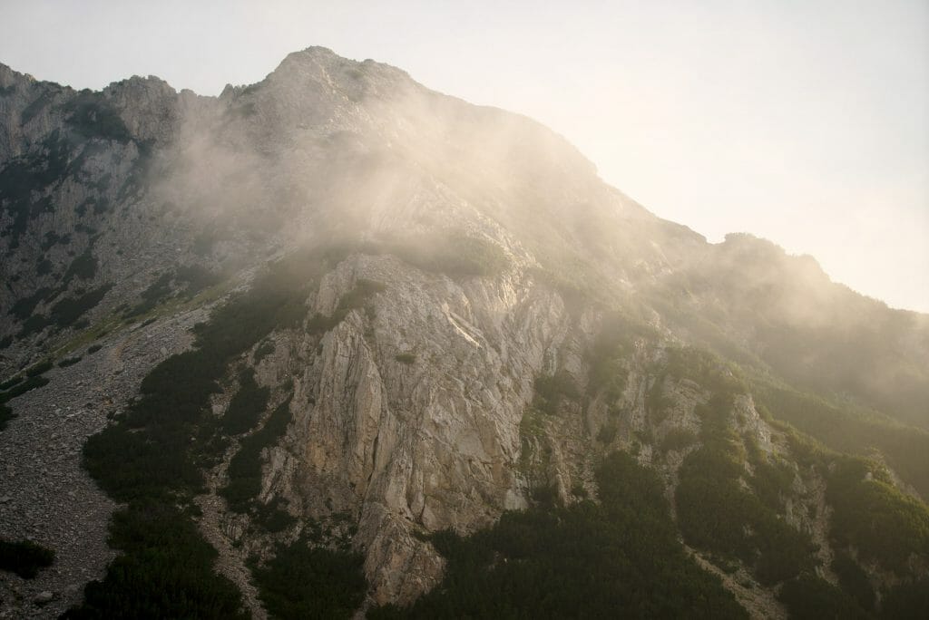
The first stage of this day consisted in going up to the pass that is above the refuge from which we arrived the day before. It’s funny, because with the beautiful morning lights it was totally different landscapes and impressions! This first section is done quickly and after just over half an hour we were back at our picnic spot of the previous day.
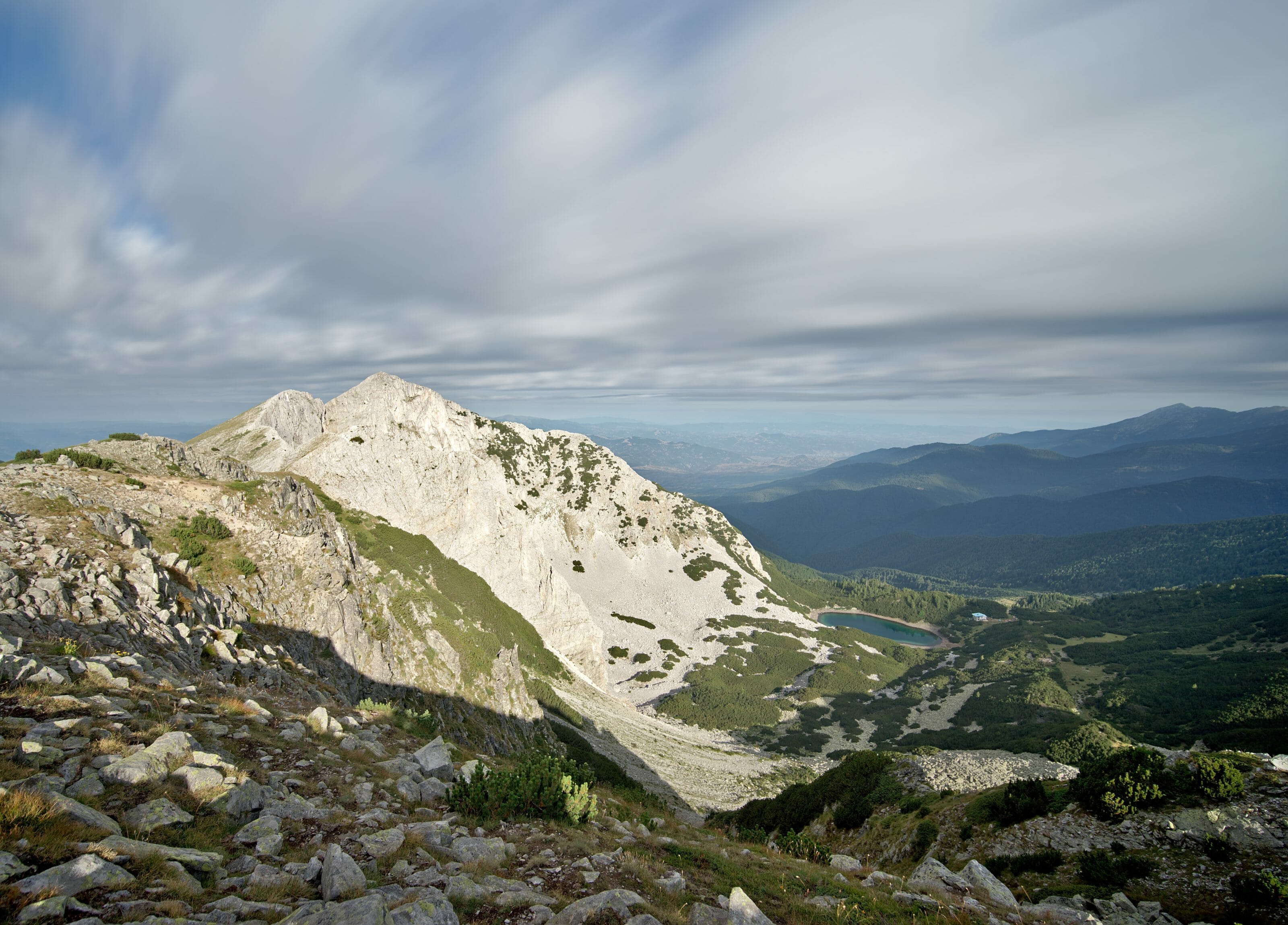
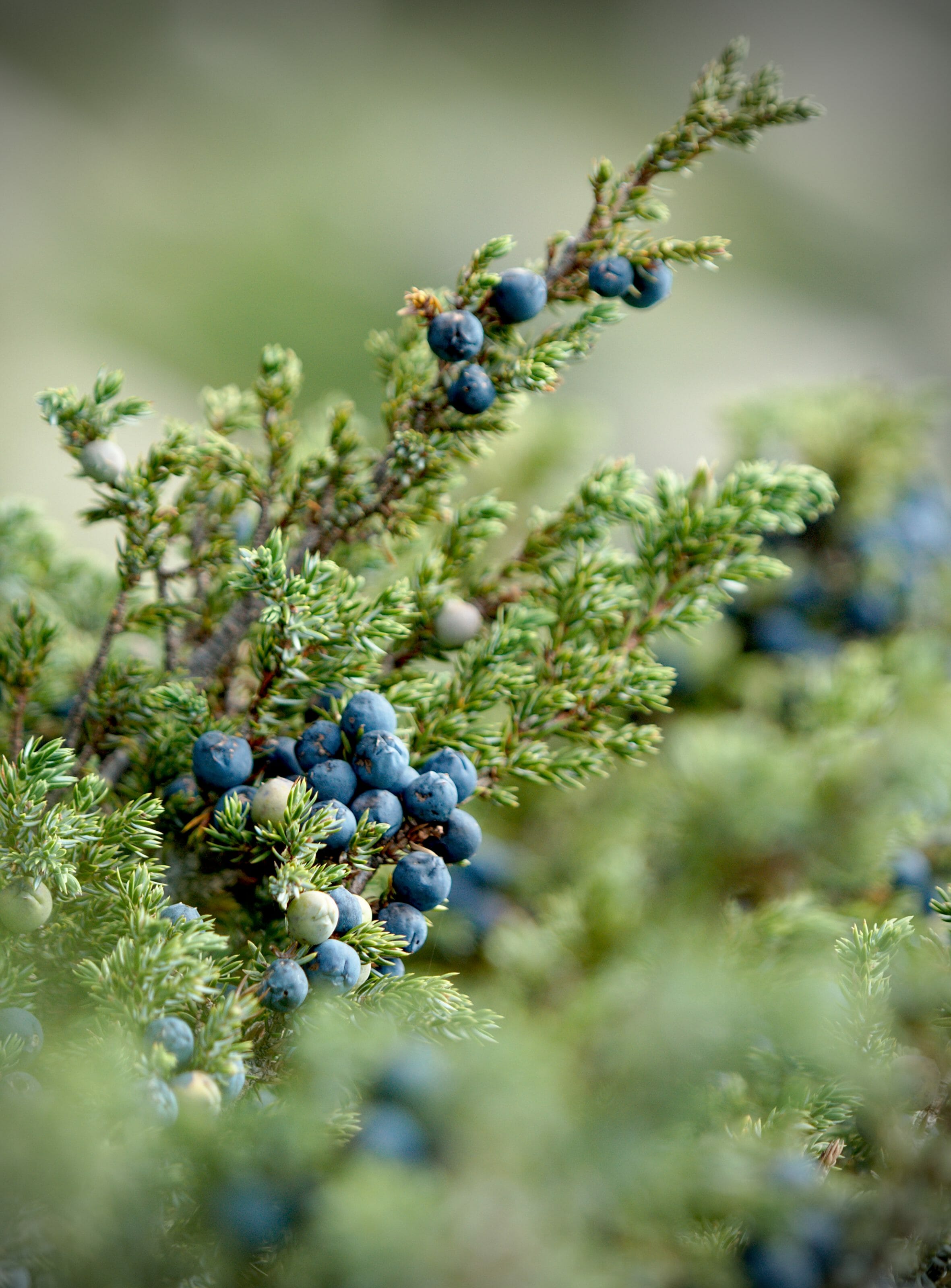
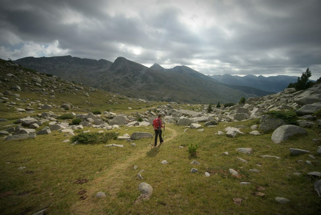
Rather than following the left side as the day before, this time we follow the brown markings that plunge into the magnificent valley that opens up to us. The landscapes are splendid and it’s funny because at times the vegetation reminds us a lot of the one found on the Kungsleden… Between Lapland and the Bulgarian mountains there is only one step! 🙂 In other words, we think that this hike must be quite beautiful in the fall too, when all the ferns turn orange..
After a good first descent, we reach the small cabins of the Spano Pole hut. We won’t be able to tell you how it is because we didn’t really stay long in the area… We knew we still had the big climb of the day ahead of us and we preferred to continue without taking a break.
From this hut we follow a small part of a track before rejoining the trails again. From that moment on, we started to struggle a little bit with the path…. Or should I say that we lost the markup several times. I don’t know if it’s the markings that are not present enough or just us who were too busy looking at the landscapes, but the fact is that we made a few detours! 🙂
The ascent to the Tevno hut, Pirin National Park
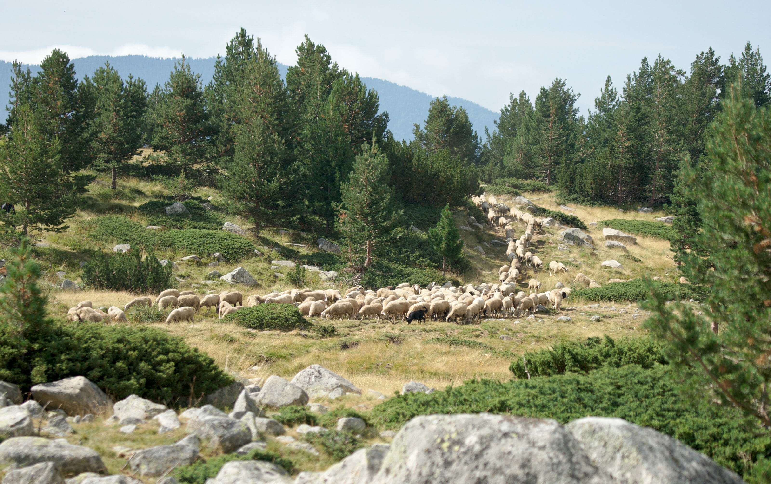
Once back on the right track, we started the relatively long climb to the lakes. I must admit that I was a little apprehensive about this ascent, but in the end it will probably have been the most pleasant and “relaxing” part of these 3 days. The 600m of altitude difference is spread over 7 km and the slope is ultra regular, which greatly helps to find a rhythm and keep it!
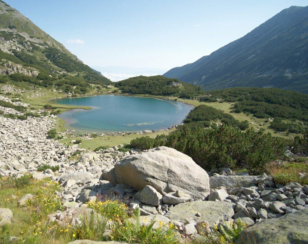
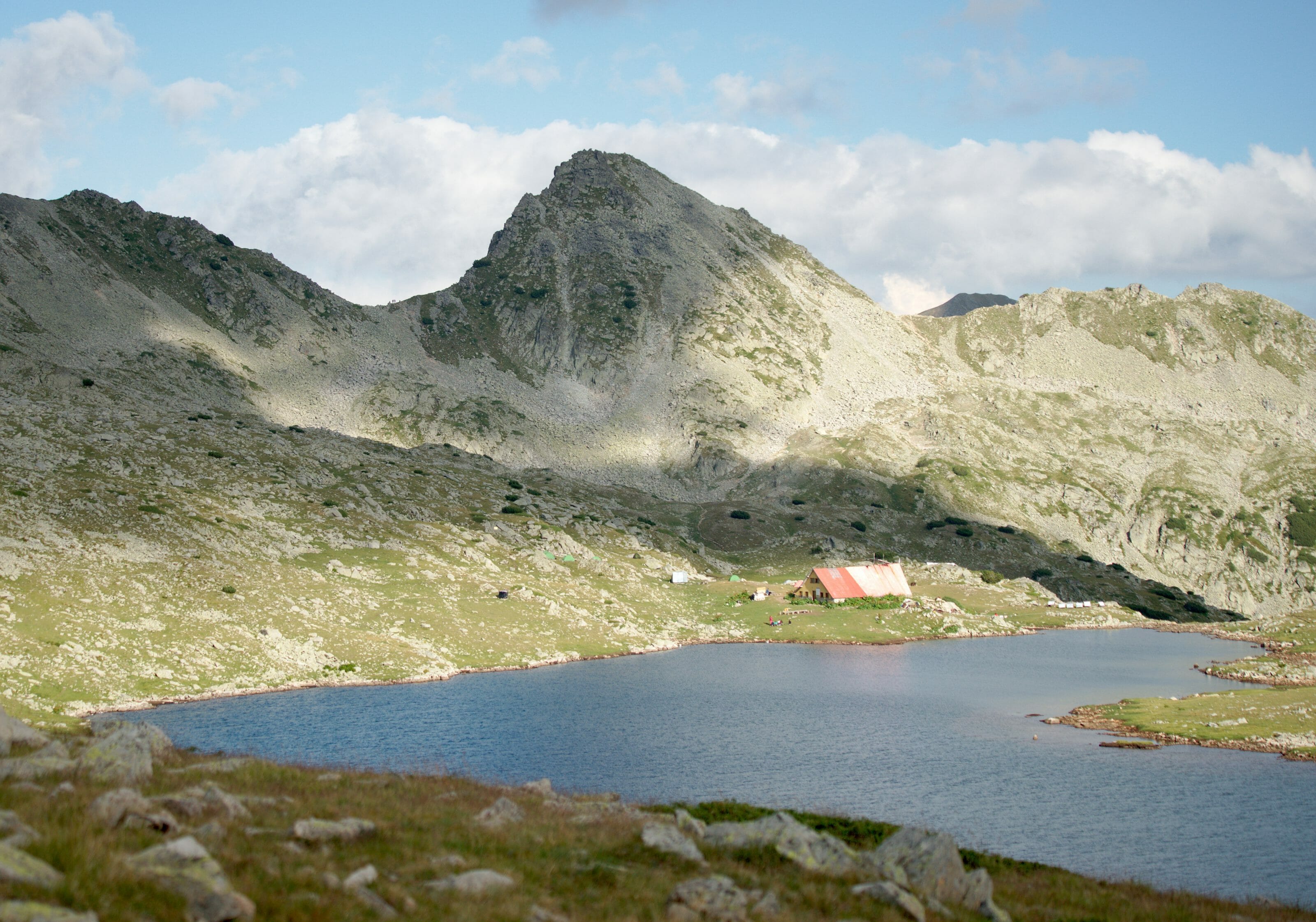
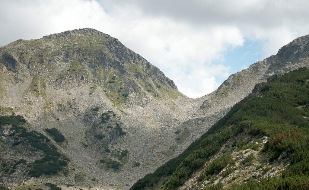
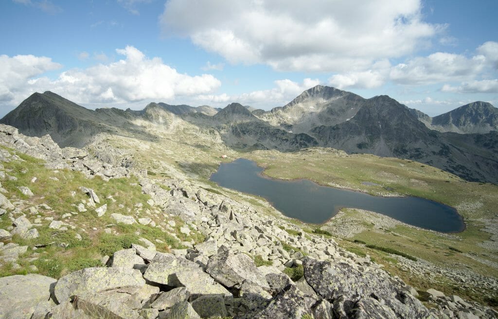
Once we reach the level of the different lakes, we walk along the ridge, pass a scree block and finally the last pass of the day. From the pass the path is almost flat until the magnificent Tevno hut. It is rare enough to be noted, but this shelter is indeed at the same altitude as the pass and it is the highest hut in Bulgaria! When you sleep in Tevno you are at an altitude of 2512m! It should be remembered that the highest peak of the Pirin National Park, the Vihren, rises to 2914m.
Infos D.2
- Distance 14km (8,7 mi)
- Elevation 866m + et 544m –
- Duration count about 6 hours hiking time
- Markings We start to follow the brown markings, then turn green and finish by following the red.
- Water No need to worry about finding water on this day.
Map of this stage:
Download the route on AllTrails
Night at the Tevno hut
Once settled in the hut, we took advantage of the last few hours of sunshine to stroll around the lake but also to explore the surroundings (I let you guess which one of us lay down by the lake and which one went hiking). 😉
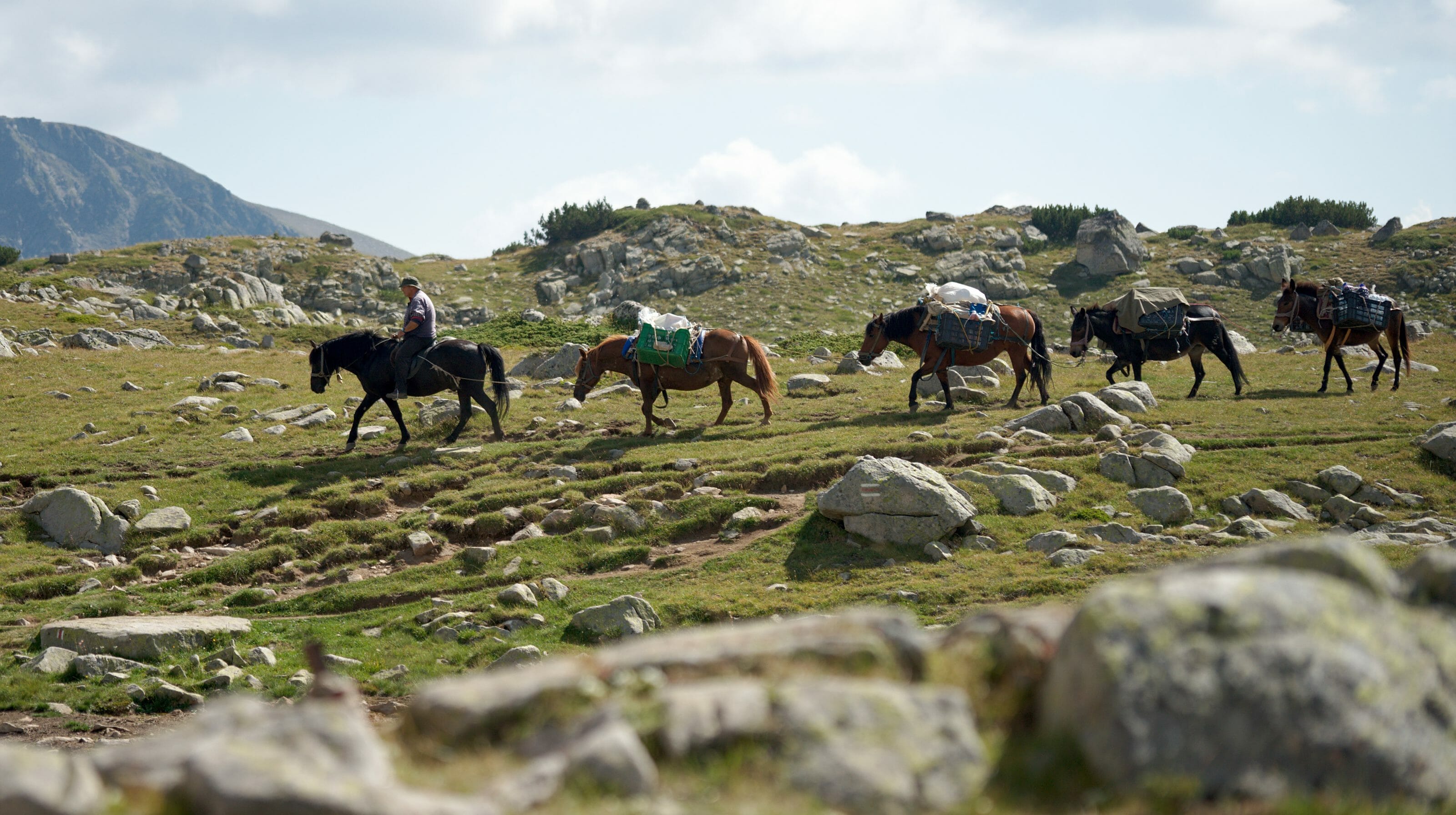
At the hut we were also able to observe how the supplies were being provided! Right when we settled by the lake, we saw the guard arrive on his horse, followed by 6 other mules/horses all heavily loaded. In Switzerland we are used to seeing the huts being refuelled by helicopters, so it is necessarily a little strange to realize that everything is still brought here on horseback!
In the evening, we ate a Bulgarian sausage and a shopska salad (a very typical salad that is even the Bulgarian national dish) before going to bed.
Our room at the Tevno hut was quite comfortable compared to Sinanitsa (a more spacious room), but the beds were still hard… Again, as a bed we had a wooden board covered with a military blanket.
Infos Tevno
Price: 15 lev per person (about 7,5€) in the dorm
Possibility to camp near the hut for 13 lev.
Food: the hut offers a simple but very good cuisine. The menu is more or less translated into English and it’s very cheap (we spent about 10€ for both for our evening meal with a beer)
Toilets: It’s basic…. No shower, but a small corner is provided towards the river for those who would like to wash up. The toilet (50m from the hut) is a simple hole overlooking a small stream….
The hut provides military blankets and pillows but no sheets… Personally, we were happy to have our sleeping bags.
More pictures from this second day
Sunrise over Lake Tevno
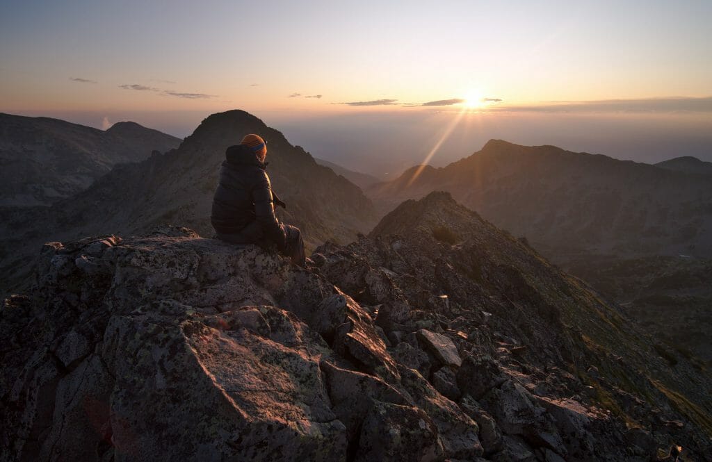
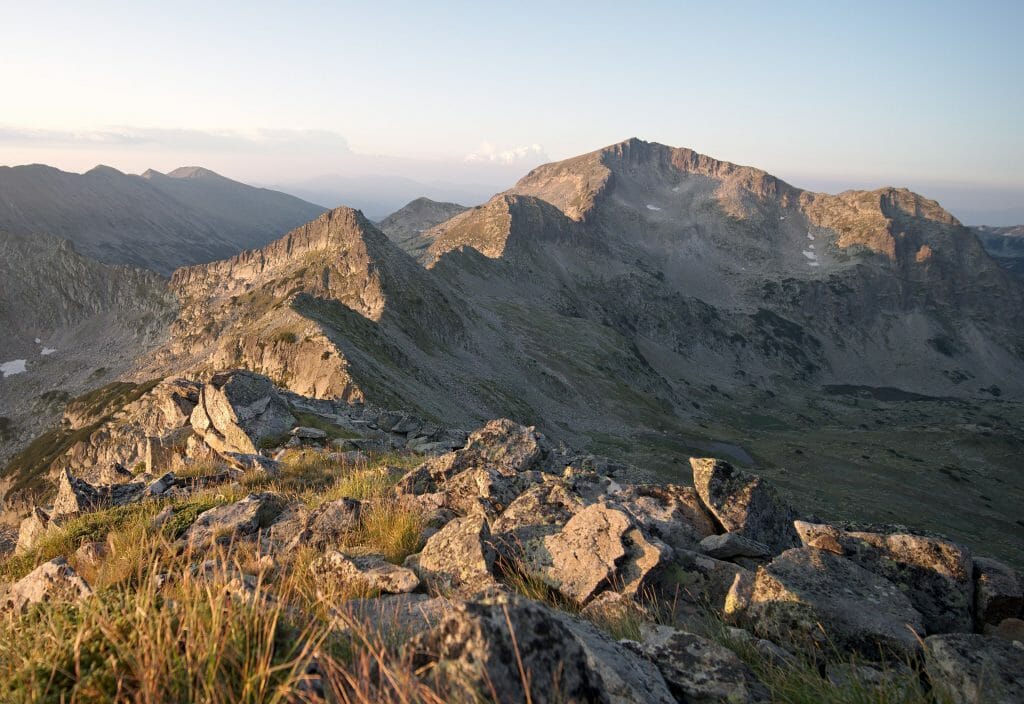
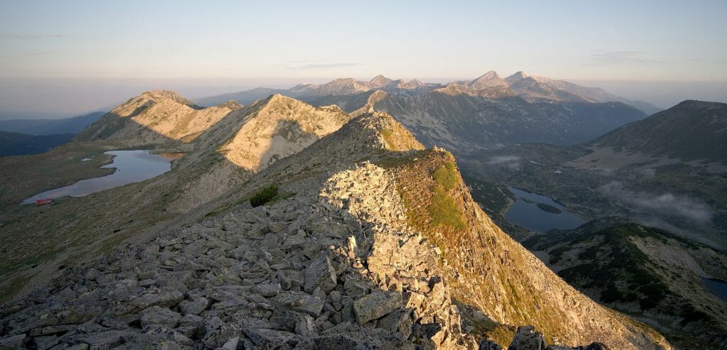
After this second night in the hut, Benoit had decided to set his alarm clock at dawn in order to admire the sunrise on one of the peaks near the hut. It was around 5:30 am that he left with his headlamp screwed onto his head towards Momini Dvori.
We are not sure we understood correctly, but the day before a Bulgarian hiker (a snory dormitory neighboor) explained that it was from there that we had the best view at sunrise. He also said something about the fact that this summit looked like a pair of breasts (or does its name in Bulgarian mean tits… we’re not too sure what we understood):)
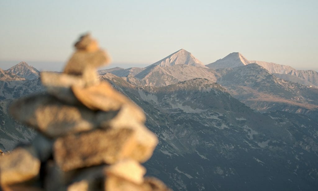
The ascent is not very long (less than one kilometre for 200m of positive altitude difference) but on the other hand it is important to know that there is no path strictly speaking. To reach the “pair of breasts” you have to move forward in a big scree block following the cairns. Not necessarily easy to spot these rascals at night…;)
But I think this little detour was worth it…
Infos
- Distance about 2km (return trip)
- Elevation change a little less than 200m
- Duration Allow 1 hour of climbing if you want to be sure not to miss the sunrise
- Difficulty quite steep and very “rocky” but no particular difficulty
- To bring a headlamp and a good sweater for the summit (we are at 2722m after all!)
Day 3: From Tevno to the Vihren hut
Once Benoit had come down from his summit and I woke up (the timing was pretty good) we first had a traditional Bulgarian breakfast at the hut. Breakfast? A fried doughnut… not bad in itself, but fortunately we had a good hiking program to eliminate all that because it’s definitely not light!
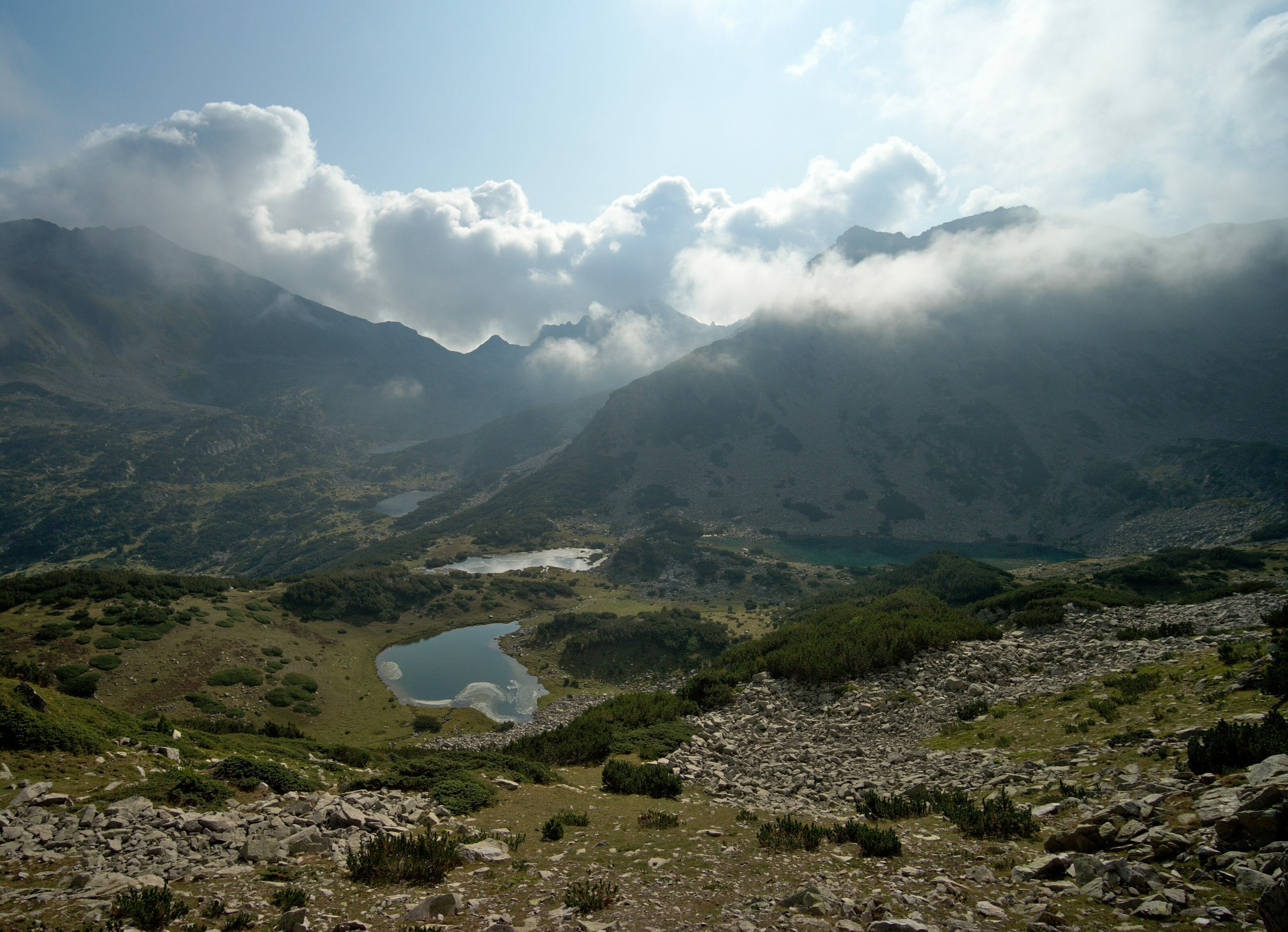
The first part of the day was to retrace our steps from the previous day to the level of the pass we had reached. At the crossing we did not go down to the lakes, but continued along a long and beautiful ridge.
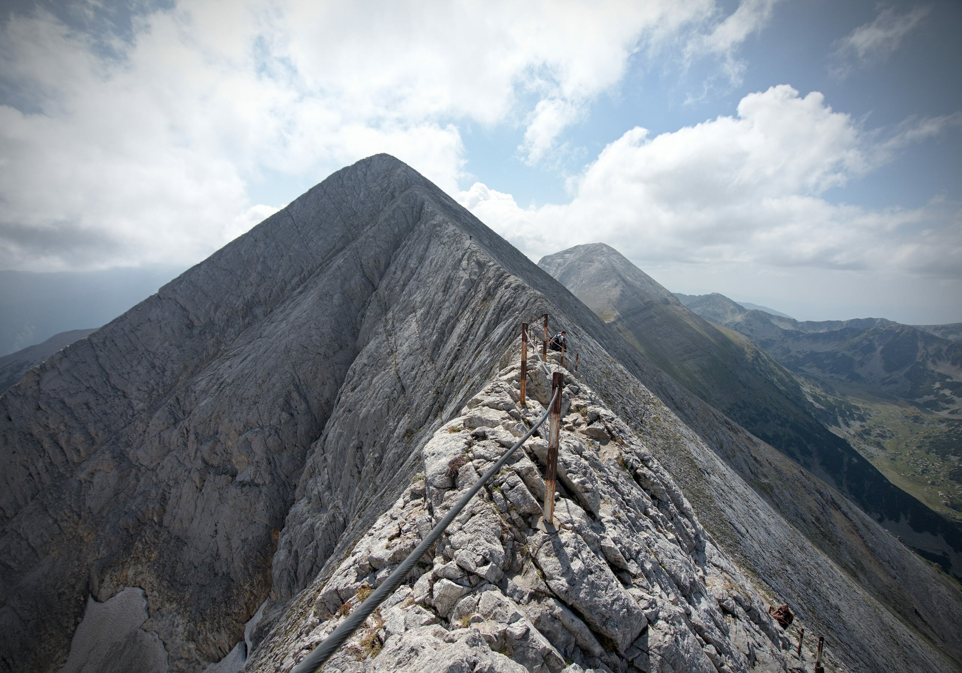
The ridge path between Tevno and Vihren
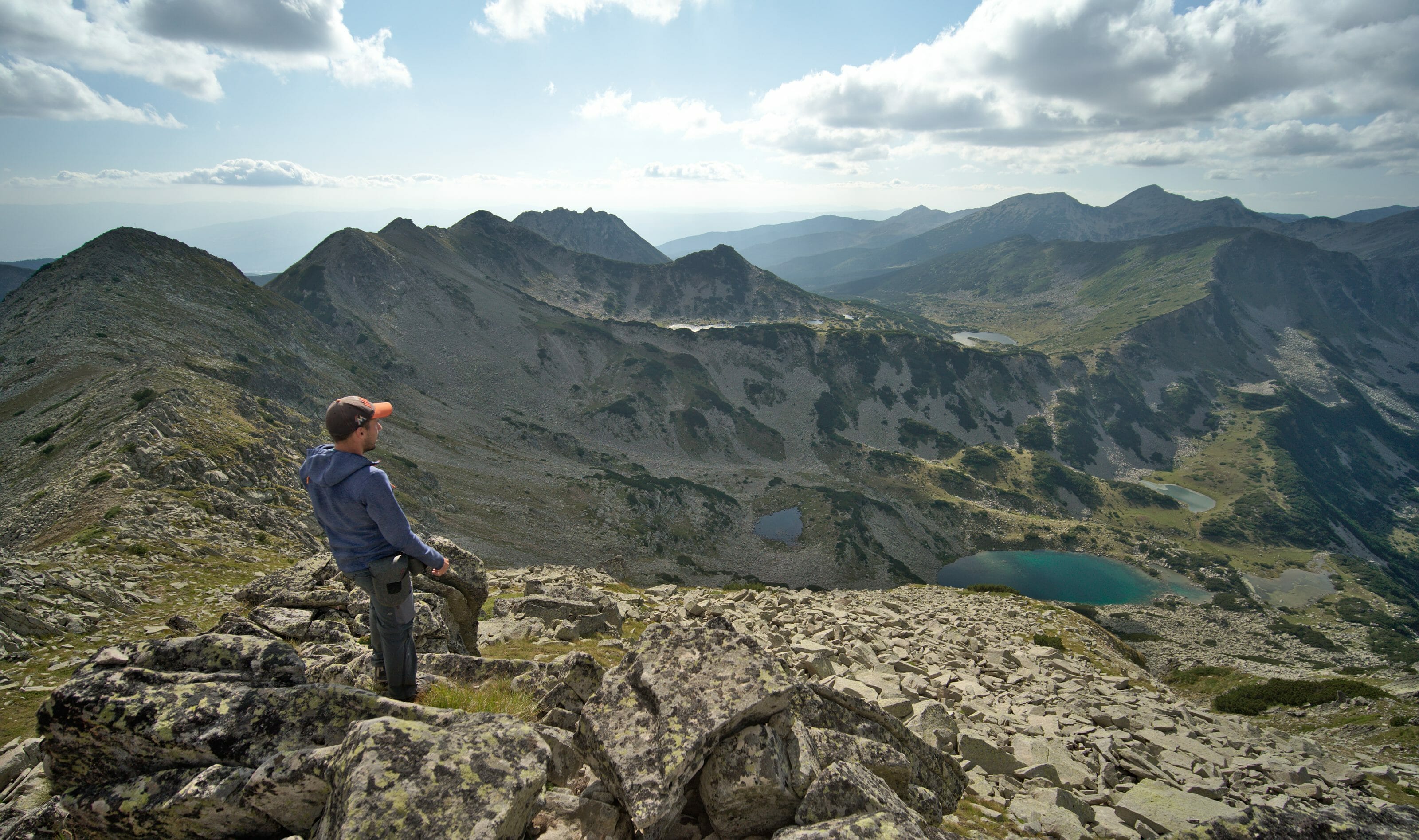
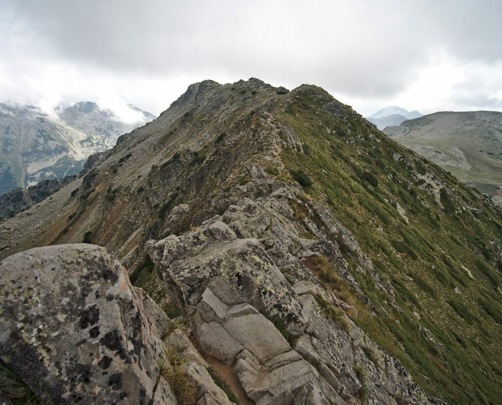
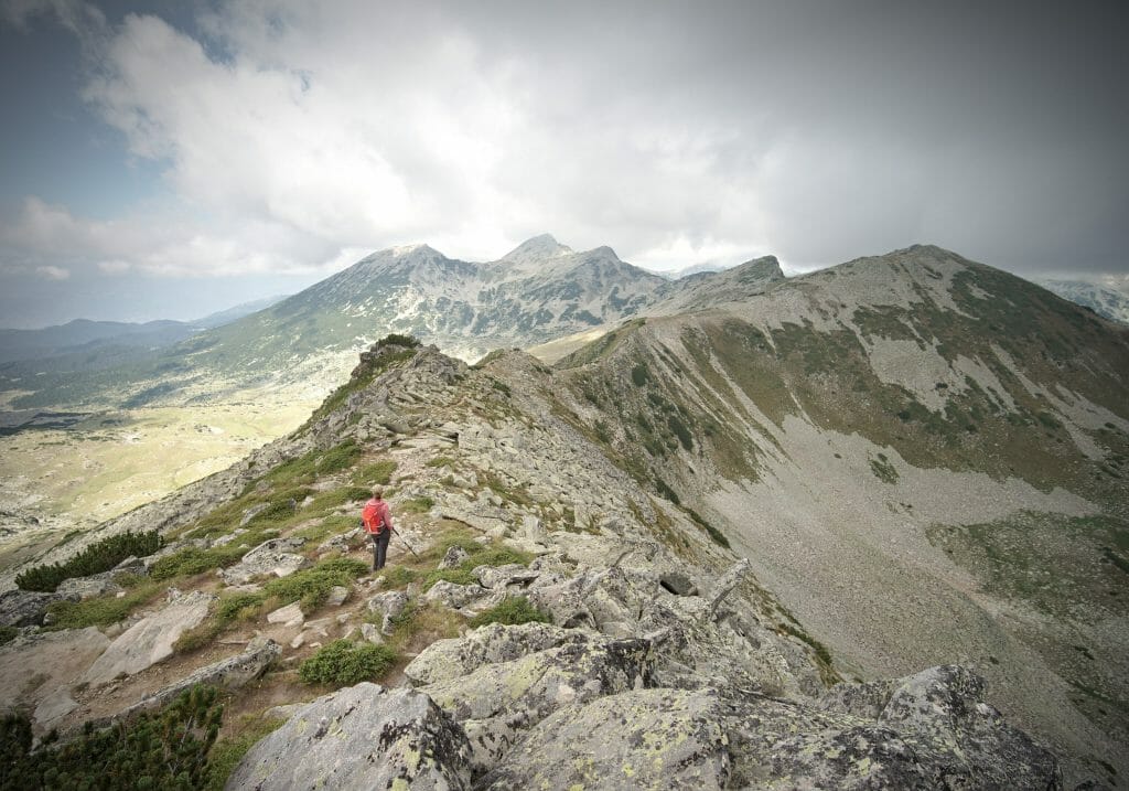
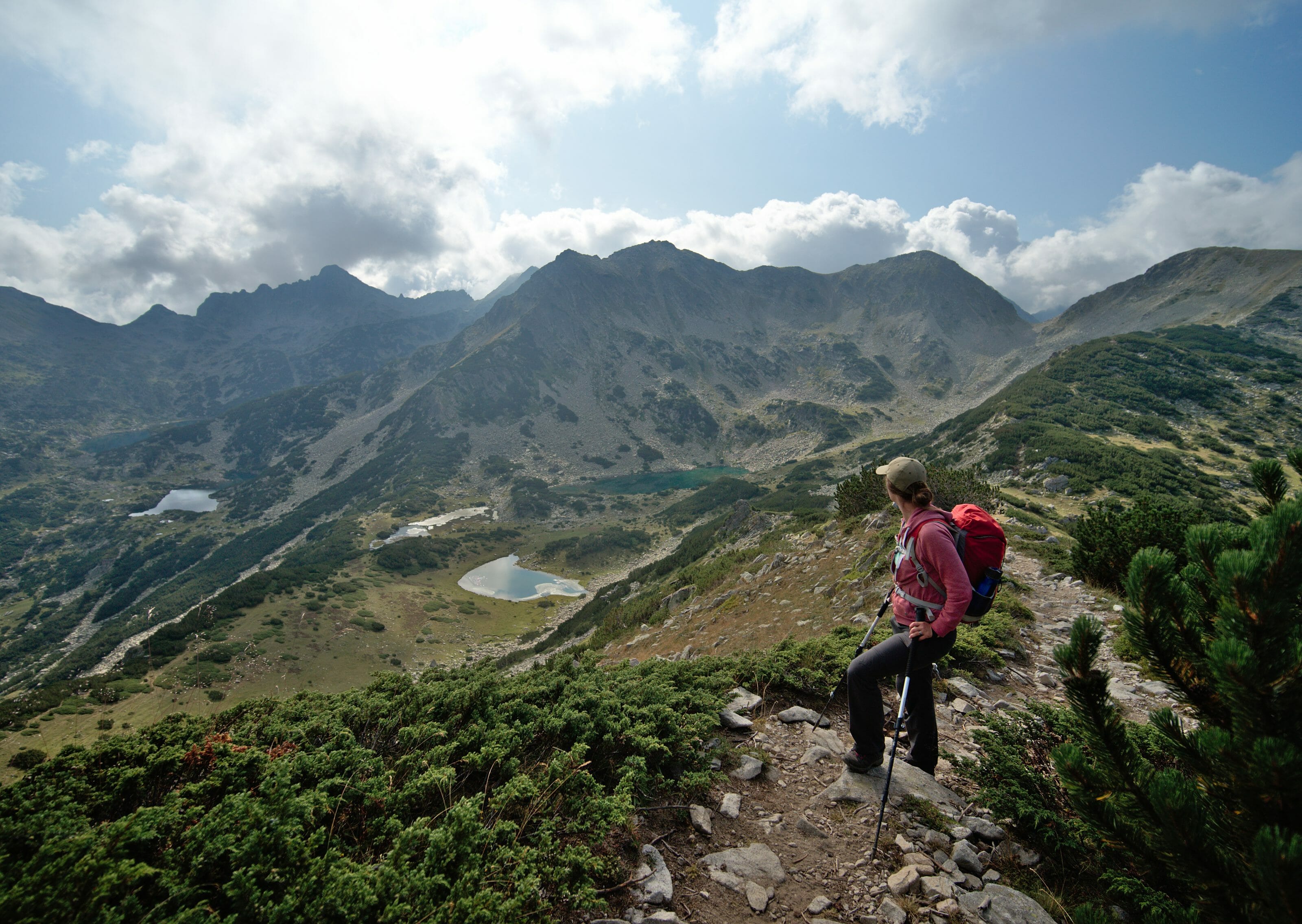
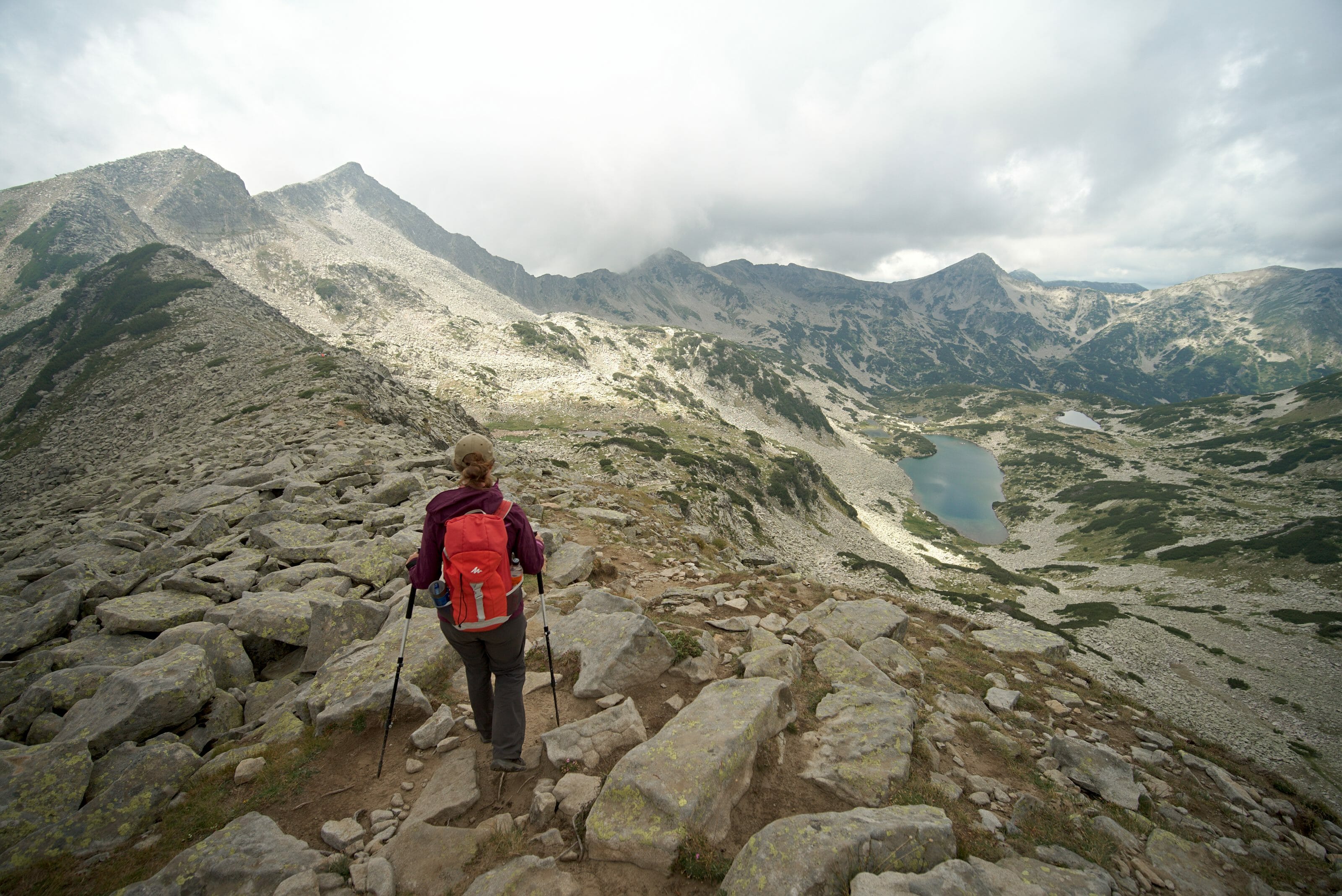
This section of the hike (a 4km ridge) was probably one of the most spectacular of these 3 days in the Pirin National Park. The views of the dozens of lakes below were simply sublime! Then we won’t hide from you that this section will probably have been the one that gave us the most trouble…. Or at least to me…. A very large part of the ridge is not on a path, but simply by following cairns in a huge rocky outcrop.
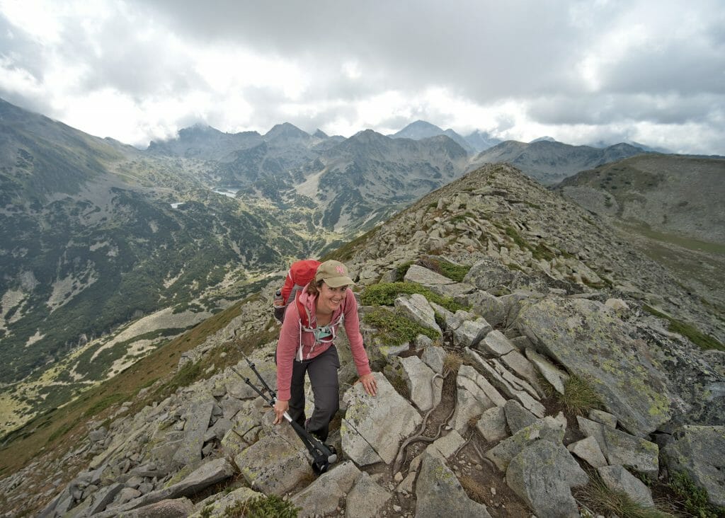
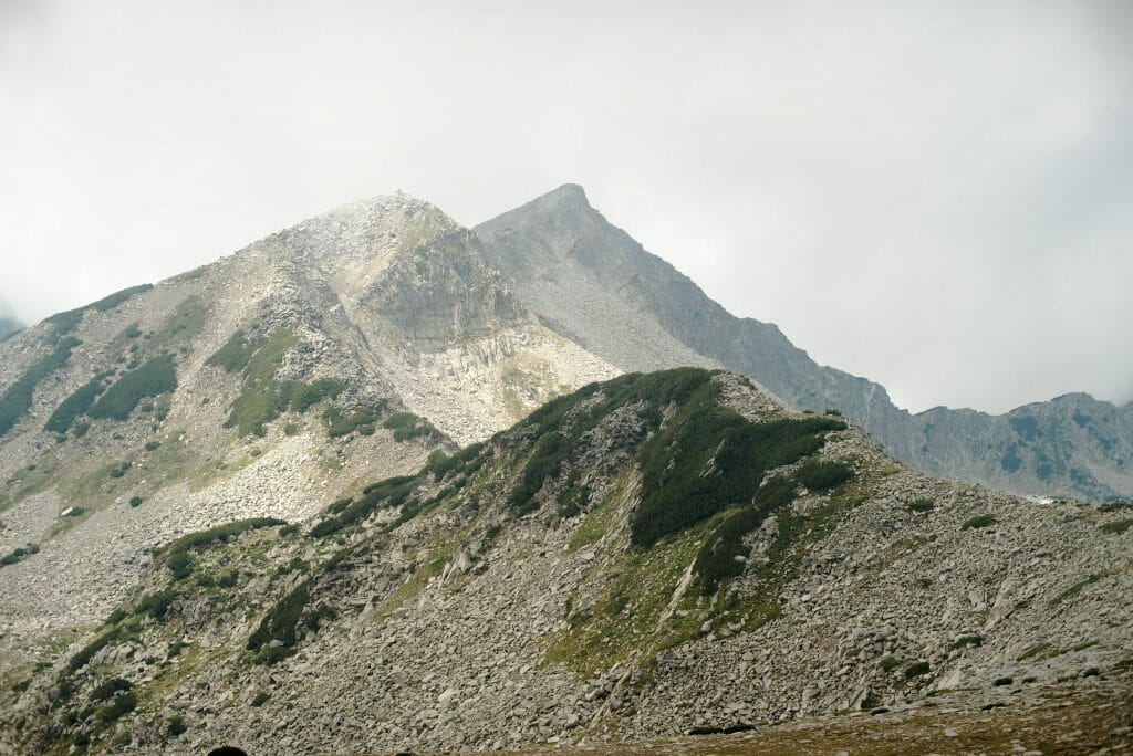
Benoit being born with ibex genes, he had no problem jumping from one rock to another and moving forward with elegance and ease. I don’t know which genes I personally inherited, but clearly not the same ones… Benoit will tell you that it takes me 2 years to get passed the rocks, I would rather answer you that I appreciate taking my time, putting my hands down from time to time (and losing the little grace I have left).
Descent to the Vihren hut by the Banderishki lakes
Once we had reached the top of the Vazela (2620m) we still had to go down to the Vihren hut which is at 1900m… 700 meters of altitude difference is not huge, is it? That’s what I was thinking… But once again the Bulgarian rocks made me review my calculations.
On the first third of the descent we are almost only in the rocks…. At that moment I was really getting tired. With my vertigo I didn’t dare jump from one rock to another on the way down, so I systematically found myself squatting to get down from the rocks and climb back up to the next one. I have no idea how many genuflections I did on this hike, but let’s just say too many! 🙂 After that, I don’t complain, because the view was obviously always so sublime, but F*&% what a pain in my butt.
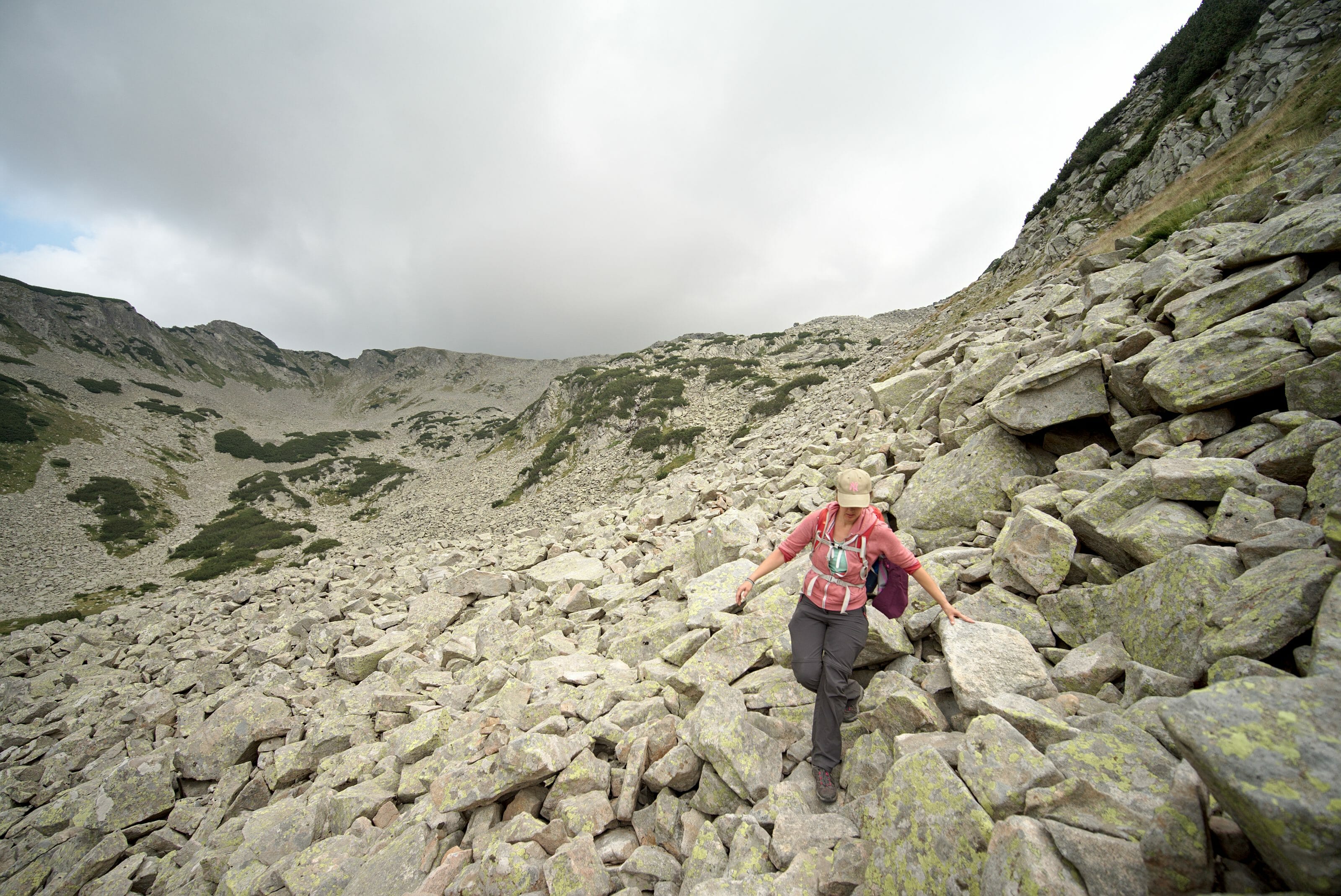
Once arrived at the frog lake (or Жабешко езеро in Bulgarian) it was deliverance! The rocks finally gave way to a magnificent path that descended quietly to the hut. A gentle end to the hike with a well-deserved beer on arrival!
The loop was closed. We were very tired but totally delighted with this hike!
Infos D.3
- Distance 12km (about 7,5 mi)
- Elevation 400m + (1300 ft up) et 930m – (3500 ft down)
- Duration count between 6 and 7 hours hiking time
- Trail marks all day long we follow the red markings
- Water Remember to take enough water for this stage. On the whole ridge path you will not find any watercourses to fill your water bottles. For this day we had our lifetraws full + 1 small 0.5L bottle in reserve (bought at the refuge)
- Note Don’t be fooled by the relatively short distance and not-so-impressive elevation changes of the day. The nature of the terrain makes this day quite long. 😉
Stage Map:
Download the route on AllTrails
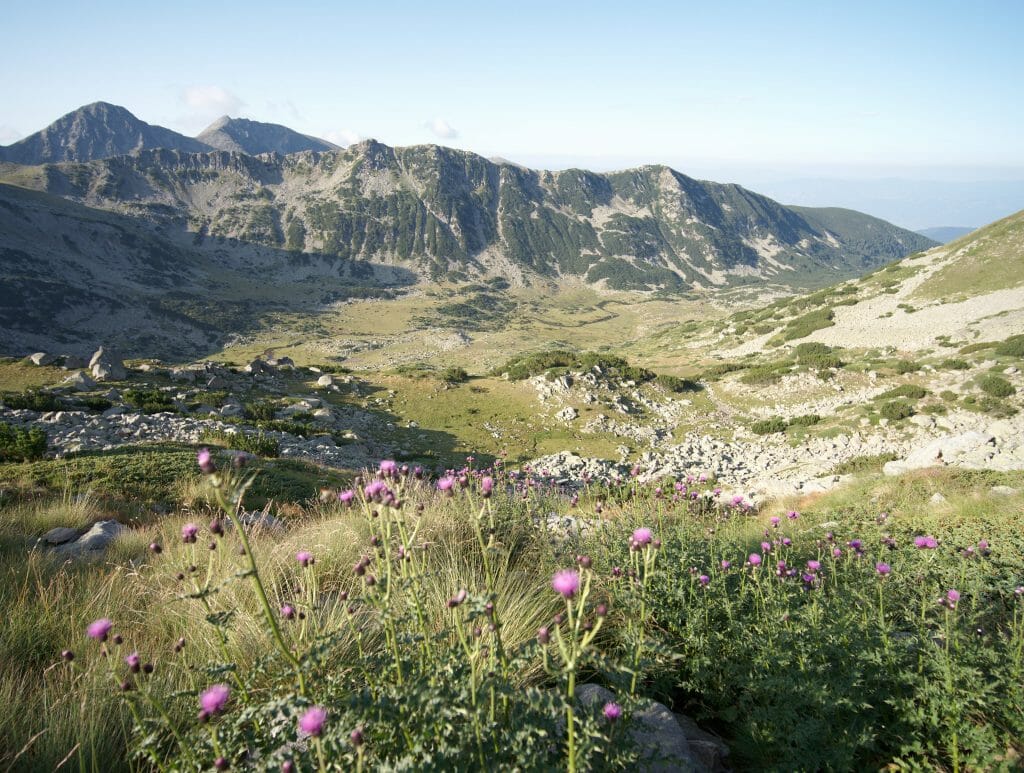
More pictures of this last day
In which direction should you hike in the Pirin National Park?
You can see it on the map, but we have chosen to hike in an anti-clockwise direction. The weather was a little threatening on the first day, so we decided to go for our shortest day that day.
After that, I don’t hide from you that if we had to do it all over again, I think we would do it the other way around. The biggest day is very clearly the one between Vihren and Tevno (our last day) and it is in my opinion better to start with this piece and finish gently with the small day. In addition, the descent into the rocky outcrop was a bit scabrous…. Although I think it’s tough for cardio on the way up, it must be more pleasant for the knees!
How to get to the Vihren hut?
To do this hike you must first go to the Vihren hut. You can reach the hut by car from Bansko (about 30-35 minutes drive), but if you are not motorized as we are, then it is best to take the bus.
Be careful, the bus only runs 3 times a day. The trip costs 8 lev per person. The bus schedules can be consulted here.
Note: to get back down you can of course take the bus again, but we found it extremely easy to hitchhike. If you arrive at the refuge at the end of the day, but the next bus is only a few hours away, it is worth asking the other hikers if they can drop you off. Everyone will inevitably pass through Bansko leaving the refuge and the Bulgarians are very nice when it comes to hitchhiking (it took us less than 5 minutes to find a car).
The equipment to be planned for this hike in the Pirin
On this 3-day and 2-night hike we had taken with us:
- Our sleeping bags
- Hiking poles
- Trail running shoes (even though we would probably have preferred to have our mountain boots for this rocky trail… but trail running shoes can do the job)
- Our warm down jacket (very useful for the evening and morning). See the one Fabienne has and the one Benoit has
- A sweater
- A T-shirt and spare socks
- A waterproof jacket (which we will not have used in the end… but the weather turns fast in the mountains so it is better to bring one). Fabienne’s and Benoit’s
- Une lampe frontale (utile pour aller aux wc à l’extérieur à la nuit tombée)
- Our Lifestraw. We were able to fill them regularly (we just completed them with a small extra bottle on the last day).
- 3 picnics (it is quite possible to eat well in the evening and in the morning at the shelters. On the other hand, they don’t sell much other than snacks to take away, so it’s better to bring your sandwiches).
- Backpack: we each had our own 30L backpack. No need to take the big bags for a hike with a night in a refuge.
- Oh yes, take a roll of toilet paper or tissues! The toilets in the shelters never have paper. 🙂
Our photo and video equipment:
- Our Sony alpha 7II
- Our lense Laowa 15mm f/2 FE Zero-D
- Our lense: 70-200 f4 (sony)
- A DJI Osmo pocket for the videos
Now, this time I think you know absolutely everything about Pirin National Park! Between our last article on the 2 day hikes and this one, you should be able to enjoy this beautiful piece of paradise in the Bulgarian mountains.
We wish you beautiful discoveries and we look forward to seeing you soon for an article dedicated this time to the small town of Bansko where we spent a month this summer.
Note: This article contains affiliate links. All the products we recommend to you are products that we have bought for ourselves and with which we are very happy. By using our links you don’t pay anything more, but we will get a small commission. Thank you for your support!
Pin it
Fabienne and Benoit please tell me, did you book seats in the huts in advance or are you already on the spot? And if you booked in advance, how did the payment happen? By card or in cash? With respect. Tatiana
Hi Tatiana,
Someone speaking Bulgarian called the hut an booked for us in advance. But we paid cash after the stay. Hope it helps
Thanks. Have a good trip! You guys are well described!
And you also have great maps, you won’t get lost with them!
Hi,
What time of the year did you do this hike? Do you think there would be too much snow in April?
We have never been in April there but i’m pretty sure that above 2000m there will be too much snow 😉
Can you please share in which month you traveled?
Hi,
we were there in August (the full month more of less)
Did you need a guide and how much was it for the 3 days
Hi Alec,
If you know how to read a map (or to follow a GPX track on your phone 😉 ), you don’t need a guide for this hike.
Excellent description of the hike. Do you think it’s possible to do the Vihren Hut to Tevno leg (if doing the hike clockwise) in the same day of travel from Sofia to Bansko?
Hey Mark… it seems very tight to me but I guess it depends on the bus schedule and how fast you hike 😉
Hi, thanks very much for the good descriptions! For water: when you say water is present along the way, what is the source? Streams? Did you use water purification tablets? Also, I am planning to go end of August – how full were the huts when you were there? And did you meet other hikers along the way while hiking, or was it very empty? Asking from a safety perspective in case of injury. Thank you for your help!
Hey Fiona,
Yeah I mean streams and we did not use purification tablets, only filter bottles.
Regarding people, we met other hikers along the way and the huts were maybe around 50% full I would say. So it’s not crowded but you won’t be the only one hiking either 😉
Thanks, Benoit!
Hi Fabienne and Benoit,
I’d be very keen to do this trail on July alone as a female. Would you advise against it? Or did you see others attempting this?
Thanks
Hi,
Honestly, I would not see any reason not to. The huts are very friendly and the crowd was very diverse (families, couples, etc)
Enjoy the hike
Hi Fabienne, thank you so much for your great blog! Carlijn & I are going to hike this route (in the other direction 😉 ) in two weeks & all your information was really helpful in preparing for our trip. Thanks a lot.
One question: is there an app you recommend for checking the weather in the Bulgarian mountains?
With love from Holland!
Hi Christophe,
Glad you found some useful infos for your hike on our blog and we hope you’ll have a great time in Bulgaria. For the weather app, we use “Windy” a lot but it’s always a good idea to ask locals which one is the most accurate as it varies a lot depending on the region and country.
Cheers from the swiss alps
Merci for the tip Benoit & your wishes!