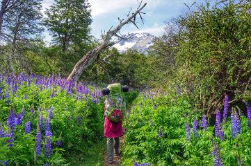
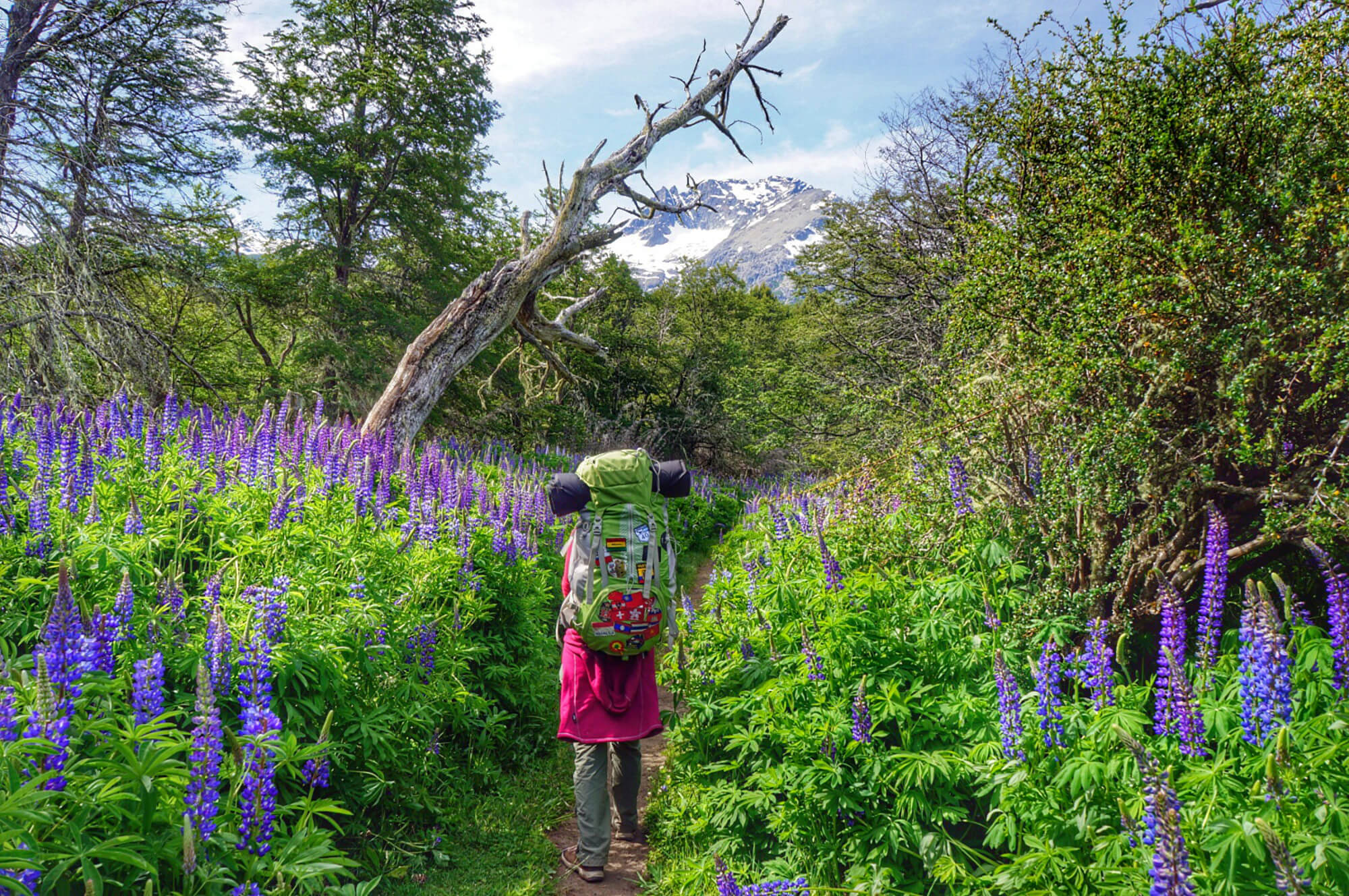
Since we arrived in Patagonia (since the beginning of November), we have always had the same problem: it is spring in Patagonia and believe us, it has made it quite difficult for us to hike.
Sping is indeed a beautiful time of the year because nature is awaking and flowers are everywhere… BUT… spring also means that the winter snow might not be fully gone yet and that, what usually is a small spring, car turn into a huge rive!
But to give you an idea of the problems involved, let’s take the example of our last 4-day trip around Bariloche.
Update 2019:
This article was originally written in 2014 during our round the world trip. We were in the Bariloche region in November-December 2014. We have updated this article to include more accurate hiking maps. If you have more recent information, do not hesitate to leave us a comment. This will help us to keep this content up to date and help future travellers.
Snow: the main problem
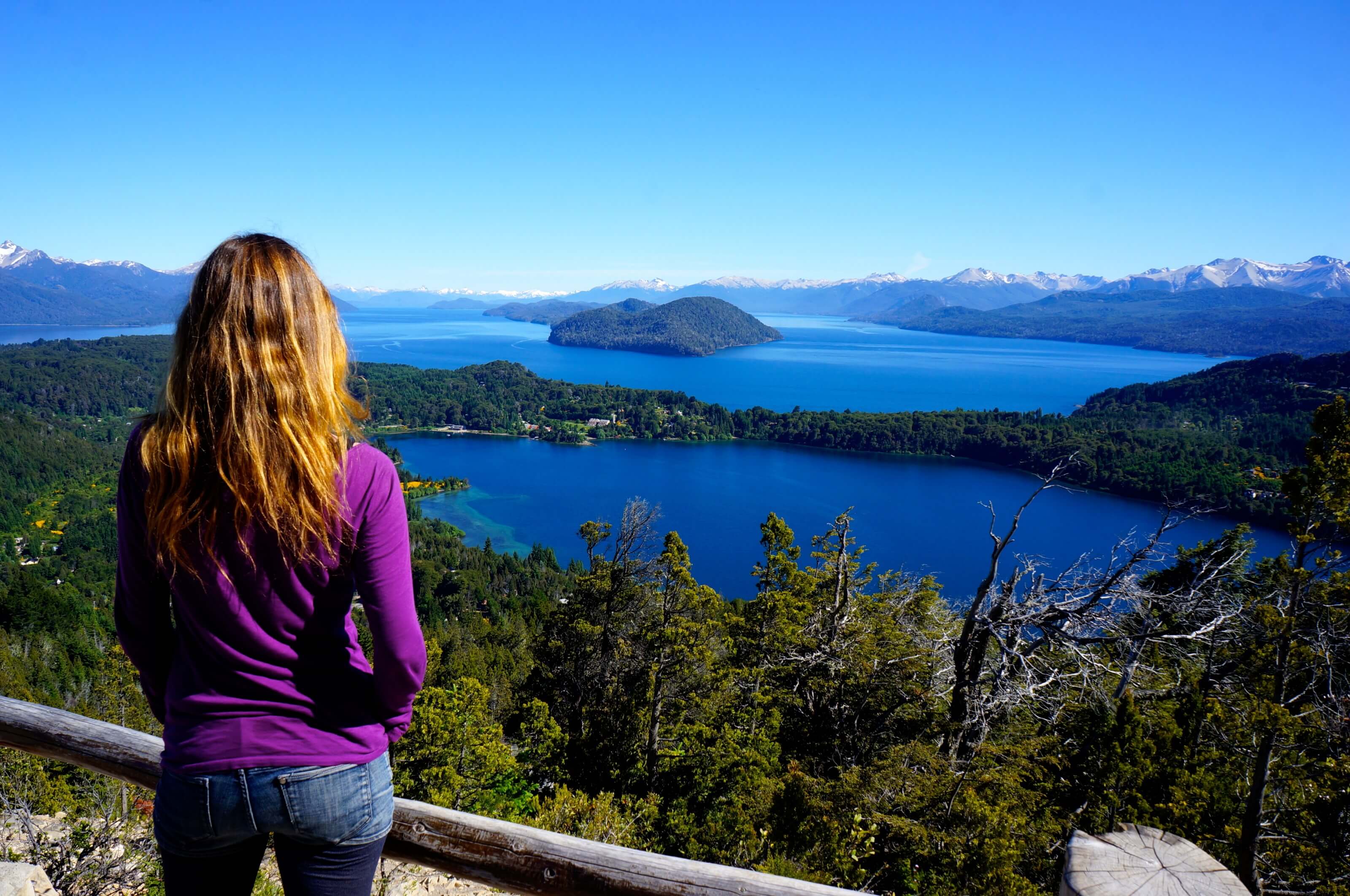
The main attraction around the small town of Bariloche is the Nahuel Huapi National Park and the magnificent landscapes it protects. On the program: mountains, turquoise lakes, crystal clear rivers, waterfalls, condors and other animals… In short, a hiker’s paradise;).
But mountains mean snow, especially since in Patagonia, until December 21 (officially), it is still spring. But we, naive as we are, read in our guide “December-April: ideal period for the trek around Bariloche“… So we thought we could probably do a trek in Nahuel Huapi National Park… Our first Beginner’s mistake 😉
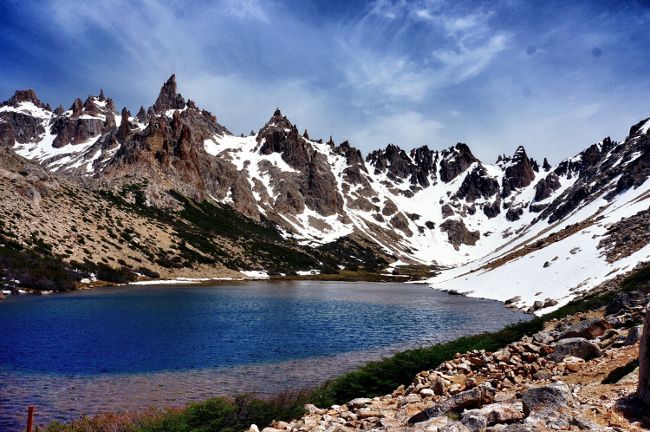
At first, we thought we would make the crossing from the Frey refuge to the Lopez refuge in 4-5 days (see map below). A hike that looked magnificent in the heart of the most mountainous part of the park. So we quickly became disillusioned because even if the trails that allow access to the various shelters from outside the park are open, the trails that connect the shelters together via the mountains are closed for the most part until January…
Between the Jakob and Laguna Negra refuges, there is sometimes even snow until February. Conclusion for us: Impossible to hike so much higher than 1500m in December… So we are looking for other possibilities.
Second problem: finding reliable information
As we were looking for a backup solution and information on the trails in the park, we naturally went to the Bariloche Warden’s office. But just as with CONAF in Chile, we got out of the office without much more information. The girl who was informing us, couldn’t even tell us at what altitude there was snow and had absolutely no idea of the condition of the trails… not very useful ranger station if you ask us…
So we thought that the best way to get an idea of the conditions was to go to one of the shelters ourselves for a day (the Frey refuge).
Well, this was a good decision, because during this walk, we realized that we could walk without any problem up to 1500m without snow. In addition, we were able to talk to the guard of the Frey refuge who was very knowledgeable about everything that can be done in the national park.
After 10 minutes of discussion with him (which was more useful than the hours we lost in Bariloche and on the internet), we decided to go to Pampa Linda, at the foot of the Tronador volcano, to hike around a bit.
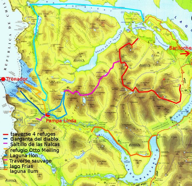
Note: this first map is just to get an overview. More precise maps are located further in this post for each of the hikes.
Pampa Linda: at the foot of the Tronador volcano
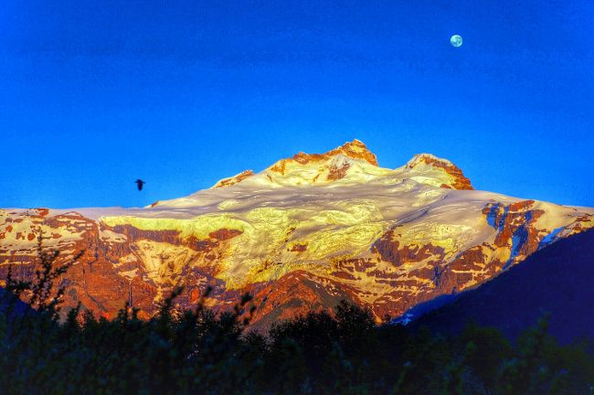
The Tronador volcano (3470m) is truly the master of the region, dominating almost 1000m higher than the surrounding peaks. It got its name (literally “the one who roars”) because of the sound of ice breaking off the glacier (there are actually 7 glaciers) and breaking on the ground in a roar that resonates throughout the valley.
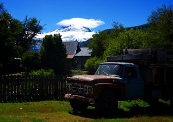
The best way to admire this volcano and its impressive ice falls is to go to Pampa Linda, a small corner of paradise with a hotel and a campsite, located just 8 km from the foot of the Tronador (and 70 km from Bariloche). The advantage of this area is that there are quite a few hiking opportunities not too high in altitude to do over 1 or 2 days. As a result, we took 4 days of food in our backpacks and went away!
Accomodation
In Pampa Linda there is only one hotel, it’s the hosteria de Pampa Linda. We did not test this hotel but we were not far from it by staying at the campsite. If you have your tent it is an excellent compromise to be close to everything with the comfort of a shower. 😉
The price of the campsite is about 10€ per person (it fluctuates according to the exchange rate). The campsite’s website for more accurate information about prices.
Hiking around Pampa Linda
Note: For all our hikes, I put a button to download directly the track of our hike on your smartphone / smartwatch. To do this, simply create an account (free) on AllTrails and you will have access to all download formats of your choice.
The garganta del diablo
Located 8 kms further on the track that arrives at Pampa Linda, it is in a way the Tronador’s cave. You will find yourself at the foot of this giant and will be able to admire from very close up the ice that falls and crashes with a deafening noise. If you are lucky, you may also be able to admire the majestic condors flying over your heads. Until Patagonia, we had never had the chance to see them in freedom and in Nahuel Huapi Park (and also in Huerquhue) we have already seen them several times… Impressive!
Pampa Linda’s return trip to Garganta del diablo can be done easily in one day. But if you manage to get a ride at some point, don’t hesitate, because doing the same route twice on foot on a track is not the most interesting thing.
Ahhhh yes, at the end of the track is a restaurant/bakery that makes cakes. They are not cheap but to be fair, they are amazing! We had a piece of brownie pie – dulce de leche – meringue cream that was simply incredible (40 pesos per piece). Sometimes you have to go to the most remote place to find the best cake ;).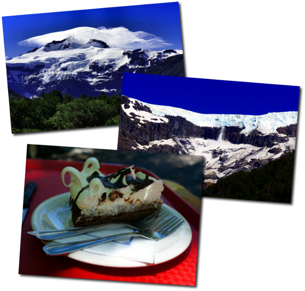
El saltillo de las nalcas
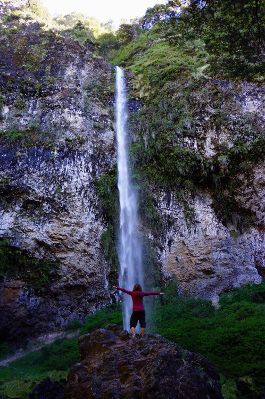 A nice little walk that starts on the left of the road that leads to the garganta del diablo, maybe 1km after Pampa Linda. The path will take you to a pretty waterfall in the middle of the forest.
Note that this is also where the path to the refugio viejo (former refuge that served as a base for climbing the Tronador) begins. As it doesn’t take more than an hour to get to the waterfall, you can easily do it by coming back from the garganta del diablo.
To find the waterfall it is very easy, simply follow the route on the map above towards the garganta del diablo. About 1km after pampa linda a path goes to the left. Don’t worry, the waterfall is very well indicated on site as well.
Refugio Otto Meiling
Located 5-6 hours walk above Pampa Linda (but also at 2000m altitude), it is probably the best place to admire the Tronador and the glacier. As we were not equipped to walk in the snow, we did not go up to the shelter but we met a group that was returning and it was apparently worth the trip. They told us that they were able to observe condors from very close up and had an incredible view of the Tronador.
On the other hand, the night at the refuge plus dinner and breakfast, still costs about 500 pesos per person… But if you are a good hiker, it can be done in a day by leaving early.
Laguna ilon
located about 5-6 hours walk above Pampa Linda, this hike can also be planned for 1 or 2 days (and we were very hesitant to do it). It is also the first stage of a rather wild crossing of the Nahuel Huapi park that connects Pampa Linad to Cerro Lopez in 5 days.
Lago frias
It will take you 2 days to get to the lago frias from Pampa Linda via the paseo de las nubles. But the advantage is that once there, you can take a boat that will take you directly back to Bariloche (but which still costs about 600 pesos per person) via the Brazo Blest on Lake Nahuel Huapi. A nice hike that could very well be combined with a visit to the Otto meiling refugee in 3 days.
Return by the lagoon llum
This is the solution we had chosen to return in a nice way in 2 days to Bariloche. The path starts at the end of the brazo tronador of Lake Mascardi (18 kms before Pampa Linda) and leads to Route 258 at the other end of the lake in 2 days. From there we could easily have hitchhiked or taken a bus back to Bariloche. But, as I will explain, not everything went exactly as planned…again 😉
Third problem: beware of rivers in Patagonia
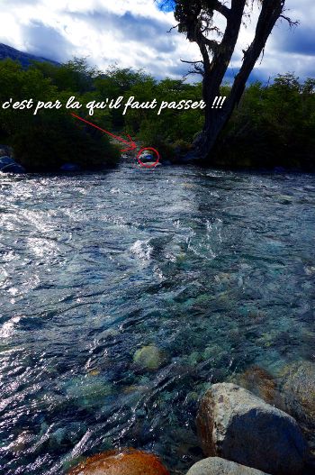
So to be honest, this problem we did not see it coming ;)…. The thing is that in spring, with the melting of the snow, there is a lot of water in the rivers (no joke 😉 ). So if you want some advice, look on your map to see if the path you plan to take crosses rivers because in general, there will be no bridge (this is not Switzerland here). As such, we are not afraid to take off our shoes to cross watercourses (we had already done it several times in Vicente Perez Rosales Park) but when we find ourselves in front of a watercourse 8m wide, 1m deep with a strong current (ahh yes and a freezing temperature), we have to think twice before crossing…
Getting stuck by the river
Of course, the path that leads to the lagoon llum crosses several rivers ;). So after having done the 18km that separated us from the beginning of the trail and camped there, we found ourselves stuck the next day as soon as the first river came along. (see for yourself in the photo 😉 ).
As a result, the only option available to us (after searching for a good place to cross in vain for a while) was to turn back to the trail and hitchhike or walk back to the park entrance and Route 258. This time, we had less luck with the hitchhiking and it took us 2 days to get back to the road. Well, we still found a great camping spot on the banks of the Rio Manso to console ourselves for not having done the lagoon llum or the lagoon ilon.
The map of the hike we actually ended up doing:
Unfortunately, there are no miracle solutions.
To avoid this problem, there is no real miracle recipe as it is extremely difficult to find reliable information on the condition of the trails. I would say, that if you hike around in the area in the spring, avoid rivers as much as possible…;).
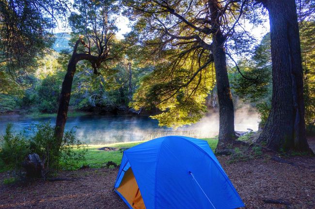
So in the end, over the 4 days we will have been hitchhiking to Pampa Linda, we will have walked to the Garganta del diablo via el saltillo de las Nalcas, we came back 18 km to the beginning of the path that goes to the lagoon llum, we were blocked by the river, to finally return to the entrance of the park on 2 days. It wasn’t really the program we had imagined, but in the end, we still saw many beautiful things and we also learned some tricks for the next hikes ;)… Not that bad in the end, is it?
To remember for spring hiking in Patagonia
- It is spring until January in Patagonia. Don’t forget to take into account the snow, which can strongly influence your hiking choices.
- Consider whether you should cross rivers and if so, try to get information on the size of rivers.
- Again, we found difficult to find reliable information on trail conditions. So don’t hesitate to go “by yourself” for a day to get an idea.
So there you see, there are huge hiking opportunities around Bariloche. Nahuel Huapi National Park is splendid and offers a wide variety of walks and in general quite far away from the crowds. But if you want to fully enjoy this park, we advise you to come from January – February (until April) when there is a little less snow ;)….
Hostel Bariloche
In Bariloche we stayed at the excellent Alaska hostel. Located a little out of the center but in a beautiful setting we really loved this address. More information in our article on Bariloche. See it on Booking
On that note, we’ll see you soon for more trekking… we’re getting ready right now to do a 9-10 day hike in the torres del paine park with friends. One of the biggest challenges of our trip… it looks promising;)
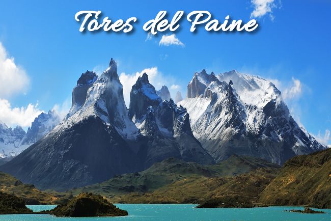
Photo Credit : Kavram
Note: This article contains affiliate links. By using our links, you do not pay anything more, but we’ll be getting a small commission. Thanks for your support!

Join the discussion