After a 2-week road trip through Liguria and Tuscany, it was slowly time for us to head back towards Switzerland. We still had a whole other week of vacation left, and had planned to discover the Apuan Alps (Alpi Apuane in Italian) and the Cinque terre. But the weather decided otherwise, and we had 5 days of heavy rain ahead of us.
As we weren’t too keen on the idea of visiting the Cinque Terre in the rain, we decided to make the most of our last 2 relatively dry days to do some hiking in the Alpi Apuane (for the Cinque Terre we would have preferred more than 2 days… anyway, as it’s not very far from Switzerland, we’ll be back). We had a few points of interest we wanted to visit, such as the natural arch of Monte Forato, but otherwise no specific objective… simply to hike a little on the heights and enjoy the beautiful views over the sea.
We can’t claim to have covered the entire Apuan Alps Natural Park in 2 days! But we did make a few great hikes and discoveries, which we’ll be happy to share with you in this article.
Where / what is the Apuan Alps Natural Park?
So the Apuan Alps (or Alpi Apuane in Italian) are a mountain range in north-western Tuscany, with some peaks rising to almost 2000m. The great thing about this mountain range is that it’s very close to the sea, so you can enjoy great views from the peaks!
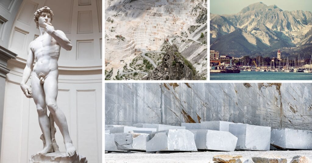
Arriving from Liguria, we also noticed the huge white stone quarries on our left from the highway. At the time, we weren’t too intrigued, but it turns out that this is where the famous Carrara marble is extracted. This marble is highly appreciated for its whiteness, and was already being used in buildings back in the days of Julius Caesar. It continued to be the material of choice for major works of art, including sculptures such as the famous David by Michelangelo. Today, Carrara marble is still widely used all over the world for luxurious interiors (floors, bathrooms).
The Apuan Alps also have a unique subsoil formed by thousands of years of water erosion on the limestone rocks. As a result, there are hundreds of caves, shafts, tunnels and even natural arches. The largest of these, the Antro del Corchia, is the longest karstic system in Italy, with over 70 km of underground galleries.
But otherwise, the Apuan Alps Natural Park is simply a wonderful place to hike, discover the many marked trails and enjoy nature and landscapes.
The Alto Matanna mountain lodge
With the van, we were looking for a place where we could potentially sleep and have easy access to hikes in the mountains. Doing a bit of research ( especially to see the natural arch of Monte Forato), we came across the Alto Matanna parking lot, right next to the refuge of the same name, which seemed to be an ideal starting point for many hikes.
Reading the comments on park4night, it turns out that the owners of the hostel don’t mind people sleeping in the parking lot, as long as they eat something on site. So we thought it would be the ideal place to discover the Apuan Alps natural park on foot.
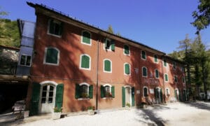
Let me tell you straight away, the access road to the alto Matanna lodge is not exactly relaxing. It twists and turns a lot, and the road gets narrower and narrower the closer you get to the parking lot (we really don’t recommend this if you have a large vehicle like a motorhome… it’s more suitable for cars and vans). On the other hand, the parking lot is very large, flat… just perfect for spending the night.
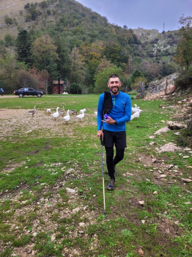
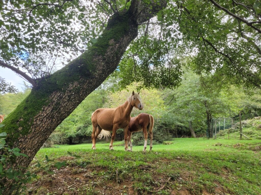
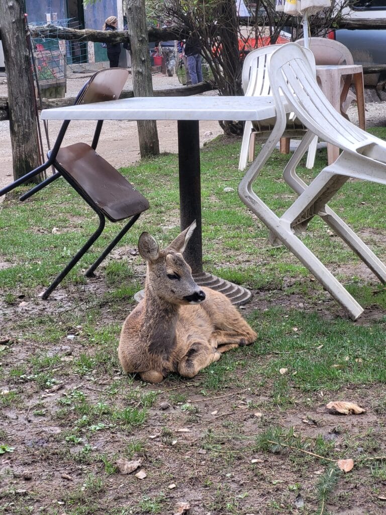
Once you’ve arrived, the first thing we do is stop off at the refuge to buy some cheese (they make their own) and make a reservation for the evening meal. The area around the refuge is a real zoo… There are lots of dogs, cows, horses, chickens, geese, turkeys, wild boars… There’s even a fawn that looks almost tame and follows the dogs around as if it were part of their pack lol.
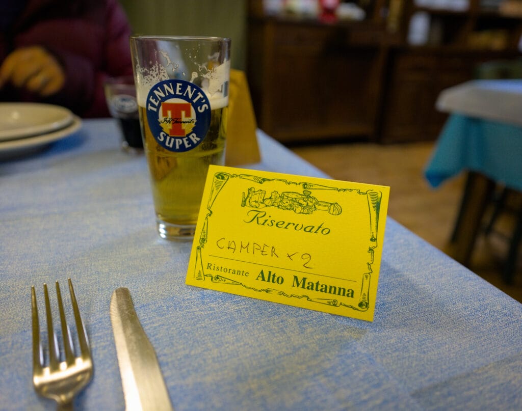
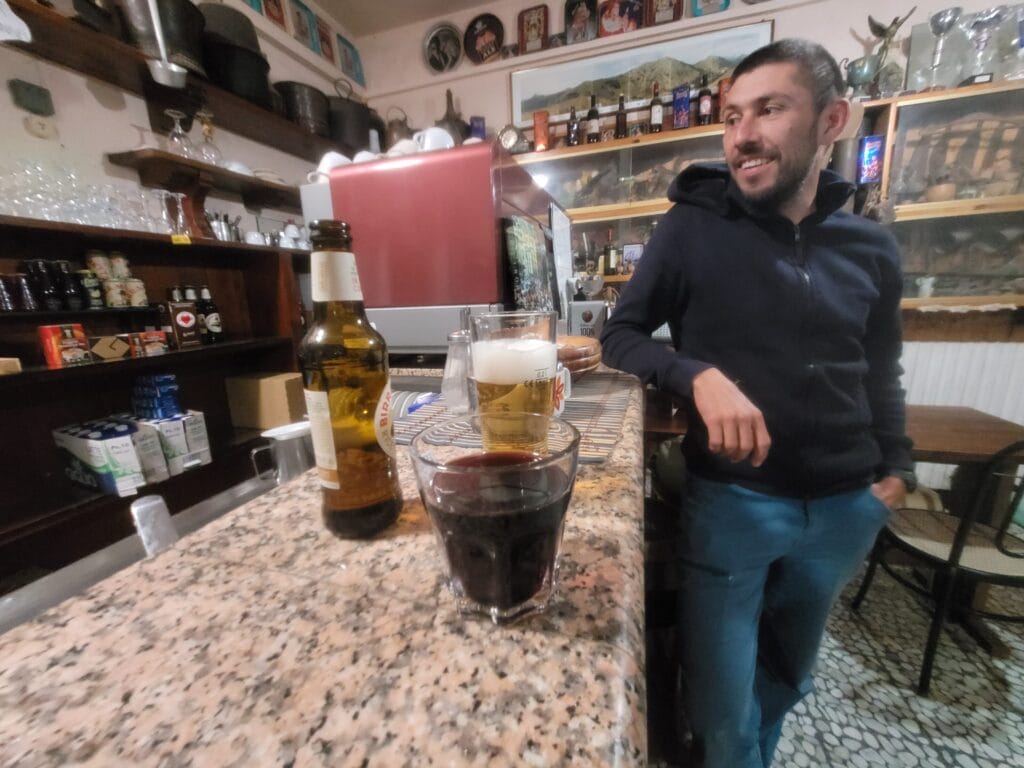
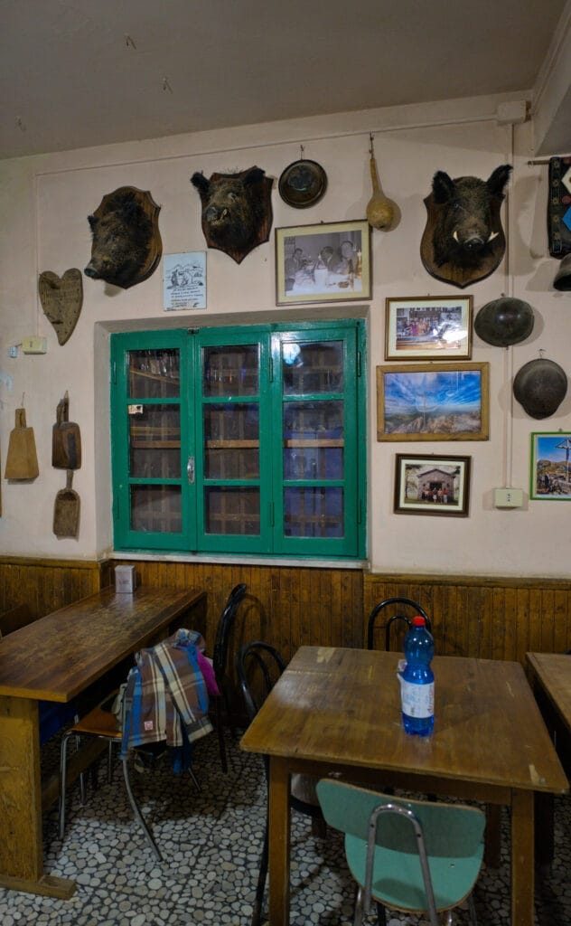
Inside, the decoration is quite rustic, with boar’s heads hanging everywhere. We ask the lady who’s serving us if we can sleep with our van in the parking lot, and she says she doesn’t mind at all. We also make a reservation for the evening meal, because we think it’s the very least we can do, if they’re going to let us sleep for free, to eat at their place.
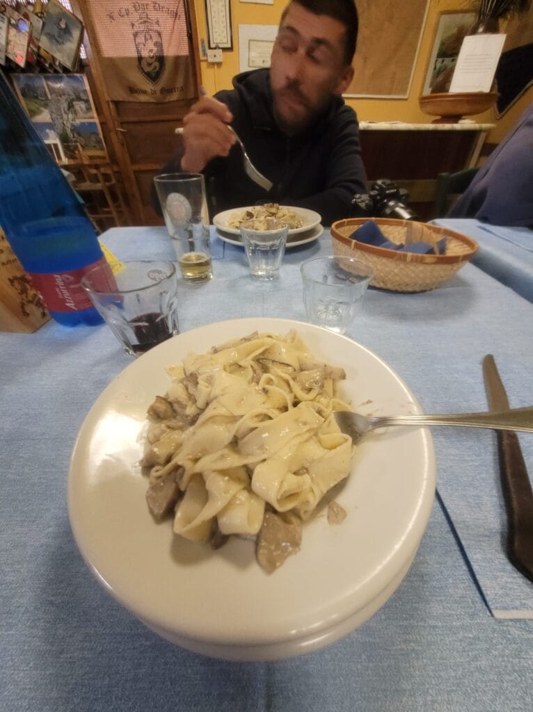
And let me tell you, the evening meal was a real feast! Even though we’d been hiking all afternoon, we only had the pasta and the main course… But after the huge portion of homemade linguini with mushrooms, we could have already stopped eating. At least now you know! But we highly recommend stopping in for the old-school ambience and the homemade cooking.
Hike to the top of Monte Matanna
When we arrive at the Alto Matanna parking lot, the weather is very cloudy and we can’t see much around us. But it takes a little more than that to discourage us, and we set off on a short hike towards Monte Matanna, hoping to see a bit more of it.
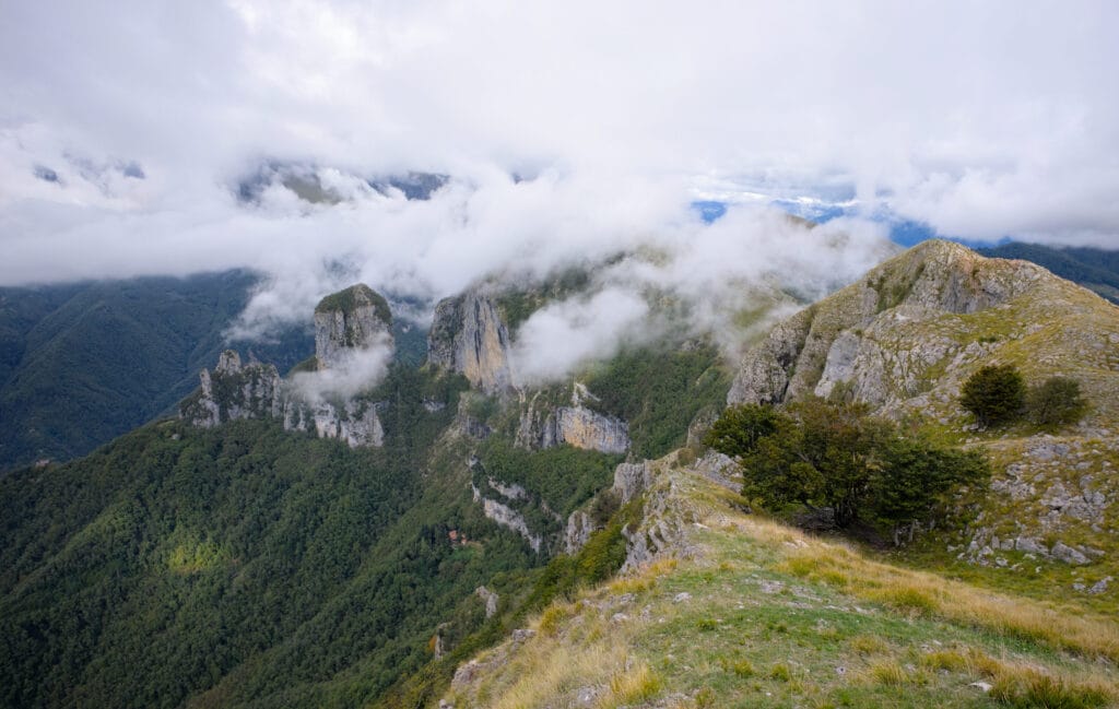
The least we can say is that, at the start of the hike, visibility isn’t incredible… at times, the clouds are so dense that we can’t see further than 10m in front of us. As the trail is well marked and not very difficult, we decide to keep going.
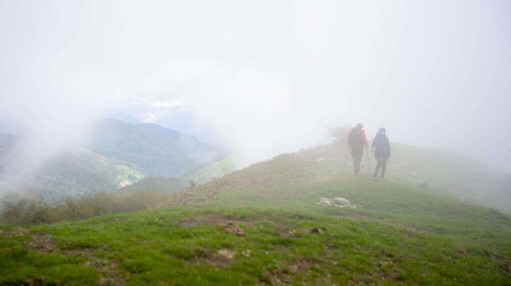
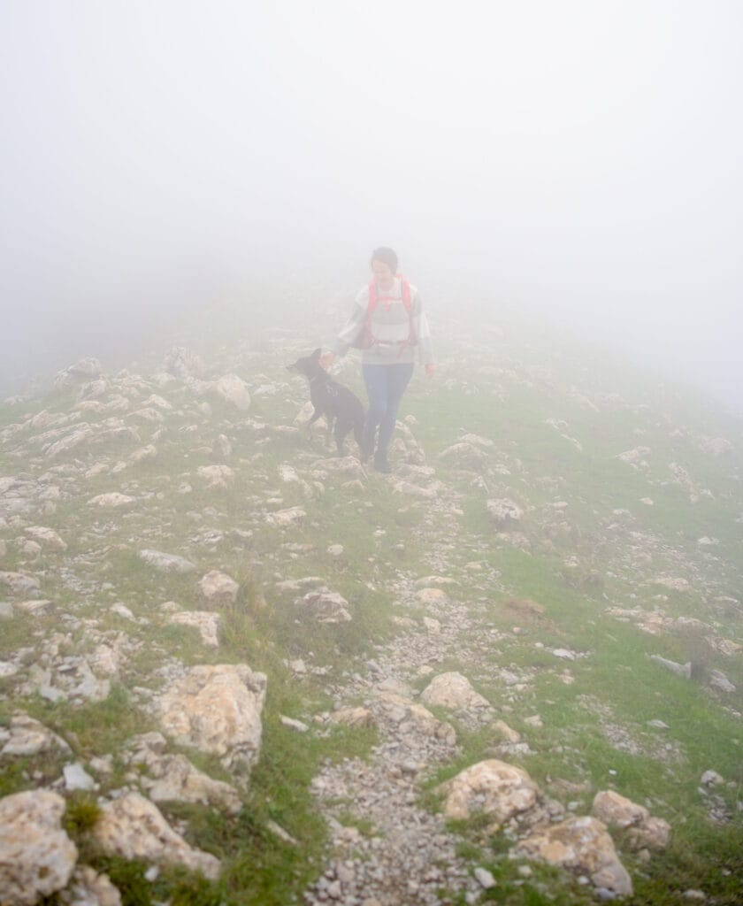
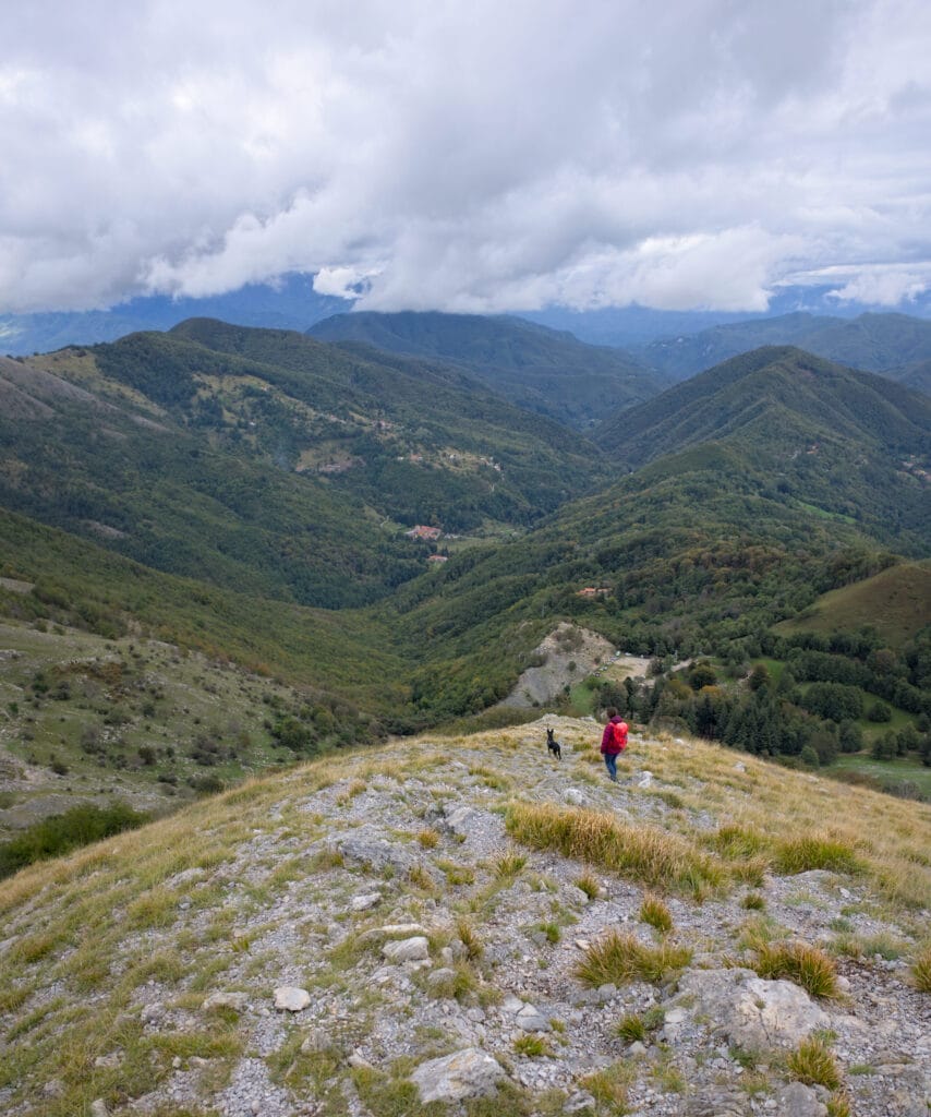
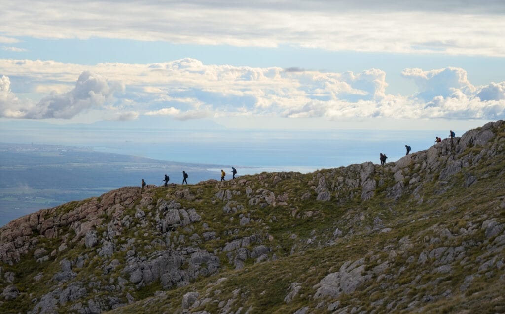
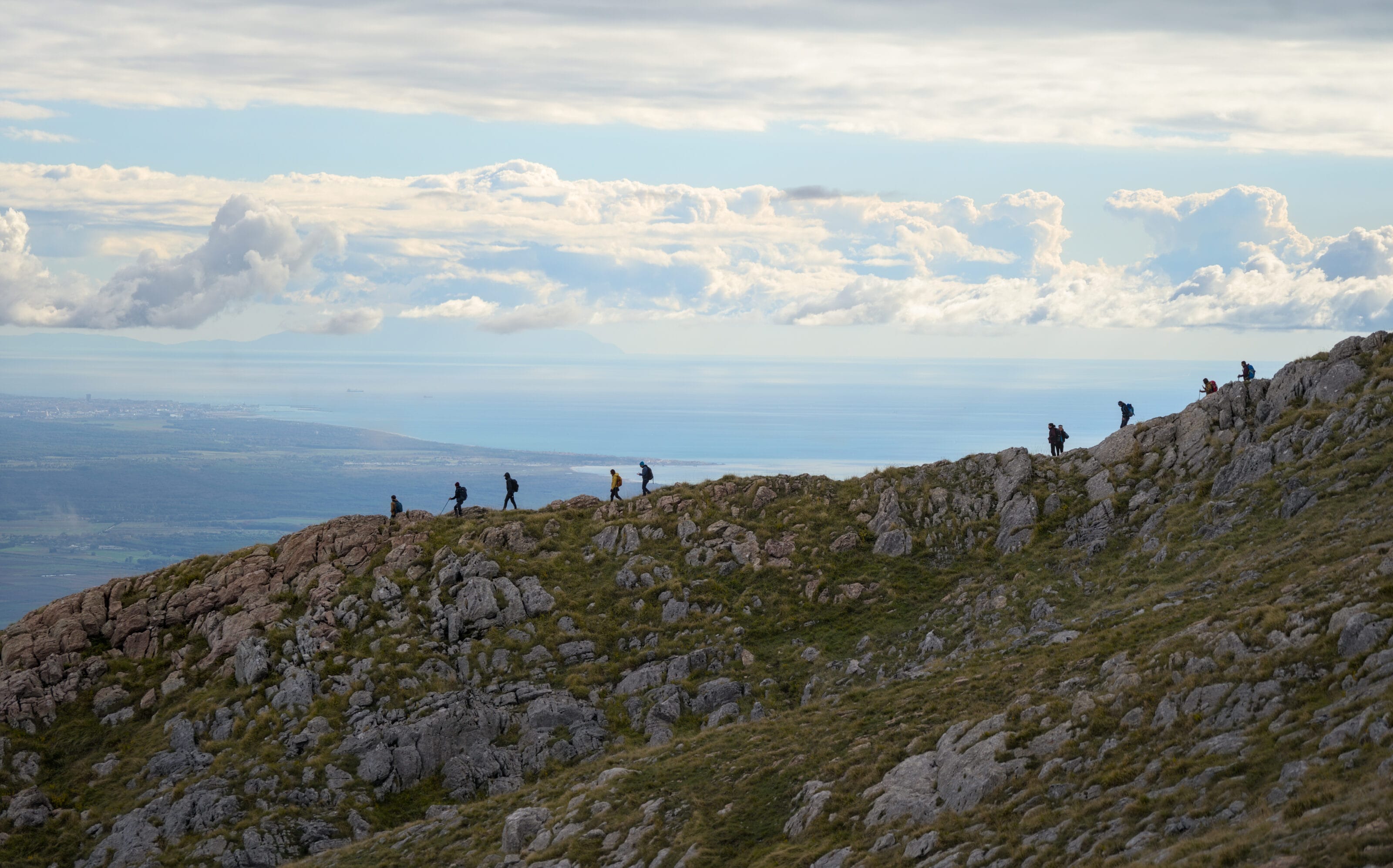
After coming out of the forest, we follow a grassy ridge up towards the summit. Visibility improves from time to time, and we start to think we might be luckier than we thought. And indeed we are! When we reach the summit cross, the view opens up and we can see the Cinque Terre to the north, then the beaches of Versilia as far as Pisa, Livorno and even Corsica in the distance. We can only imagine the panorama from here when the sun is shining 🙂
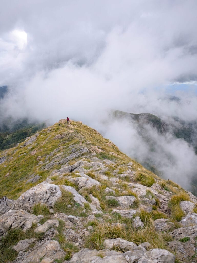
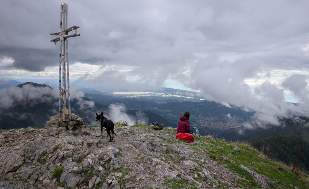
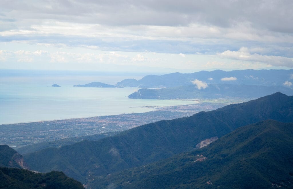
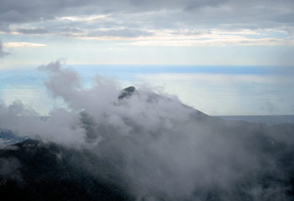
We then continue along the summit ridge, enjoying the view until we reach the antecima. The path then goes down more steeply to a small pass (callare di Matanna on the map) to reach the Matanna lodge / refuge where a hearty meal awaits us 🙂
- Distance: 3,1 kms
- Elevation change: 270m +&-
- Duration: 1,5 – 2,5h
- Difficulty: medium (the descent from the antecima is a little steep but nothing too challenging)
Hiking / trail run towards the Monte Forato natural arch
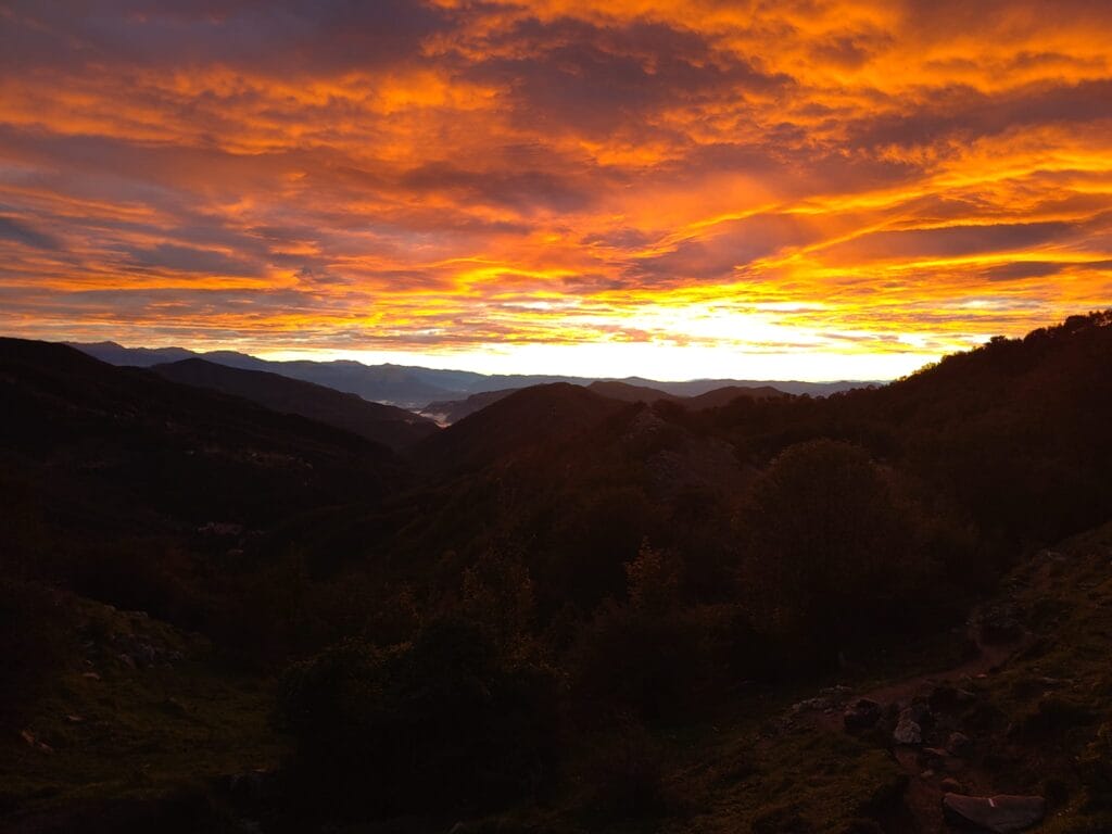
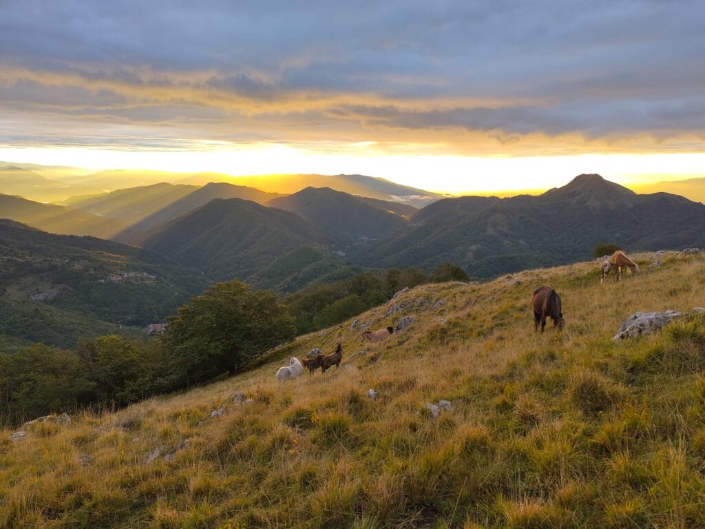
The next day, I set out at sunrise for a short trail run towards Monte Forato and its natural arch. I apologize for the quality of the pictures, but I don’t take my camera with me when I go trail running 😉 .
I start by climbing up to the small “callare di Matanna” pass, then carry on to the summit of Monte Nona. The sunrise is just spectacular! I’ve got a horse herd in front of me, the clouds are bright red and a huge rainbow crosses the sky behind me. The least we can say is that I’m glad I got up 🙂
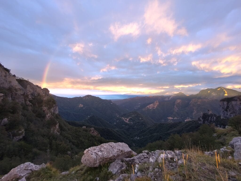
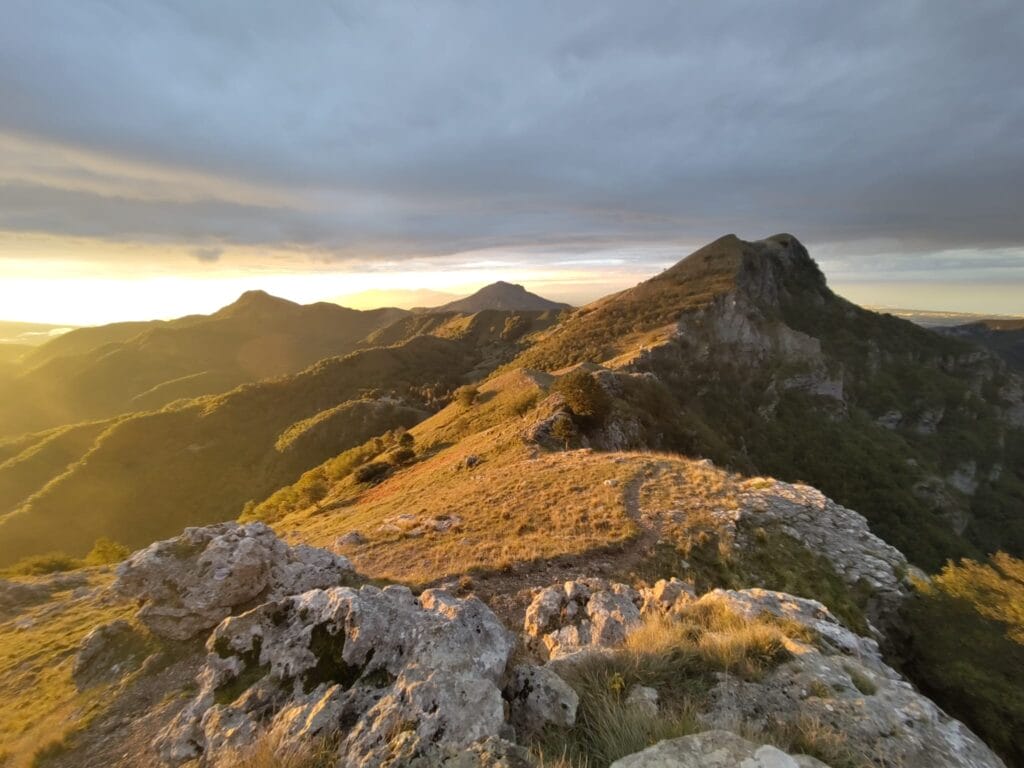
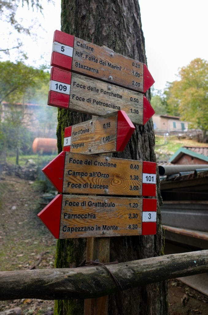
I then go down to the “Foce delle Porchette” pass on the map. I had to use my hands 1-2 times on the other side of the pass, but nothing too tricky. The path immediately becomes easier again and I continue my little run up to another pass noted “Foce di Petrosciana” on the map. From here, I follow the path up towards Monte Forato marked “EE” (which indicates trails for experienced hikers).
The path up to the natural arch isn’t as difficult as I thought! Admittedly, it’s a good climb, but the time indicated at the pass is 1h10 to Monte Forato for 1kms and 200m of ascent… and I think that’s a bit of an exaggeration (unless you go by the Via ferrata of Monte Forato… but I’ll come back to that below).
The natural arch lies between the 2 mountain peaks and is 32m wide and 25m high, formed by the erosion of the elements. It’s quite an impressive sight, and you can even walk over the arch. I also found on the internet that on a few occasions during the year a local guides’ association installs a swing in the arch which allows you to appreciate the sea view 30m above the ground 🙂 .
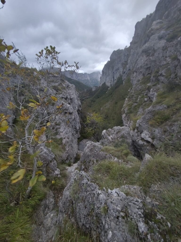
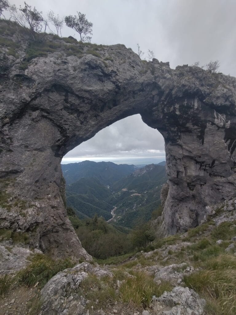
To get back to Alto Matanna, I then chose a slightly longer but easier path that took me past several typical caves in the Apuan Alps. Once back at the “Foce delle Porchette” pass, I simply followed the same path again, without going back up to the summit of Monte Nona, after the “callare di Matanna” pass.
- Distance: 9,4 kms
- Elevation change: 760m +&-
- Duration: 4-5h
- Difficulty: medium – hard (the trails are well marked but there are a few passages, such as the “callare di Matanna” pass and the Monte Nona descent, which are a little more difficult.)
We didn’t do them because we hadn’t brought our gear, but I found 2 via ferrata routes that are easy to do near this hike (in fact we came across several people with via ferrata gear during these 2 days):
Procinto Via Ferrata
Monte Procinto is the most distinctive mountain in the area, and is easily recognizable as an impenetrable limestone tower (with vertical cliffs all around). But in fact, if you go down below Monte Nona from “callare di Matanna”, you can reach the foot of Procinto, which is equipped with a short via ferrata that makes it easy to reach the summit.
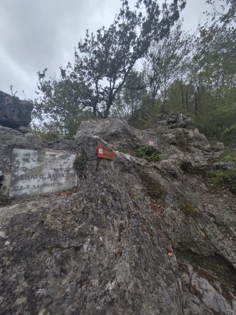
Monte Forato Via Ferrata (Renato Salvatori trail)
This route allows you to reach the natural arch via the highest summit of Monte Forato, following the ridge from the “Foce di Petrosciana” pass. It’s not very long either, taking less than an hour to complete.
Loop from Metato to Monte Penna via the Candalla waterfall
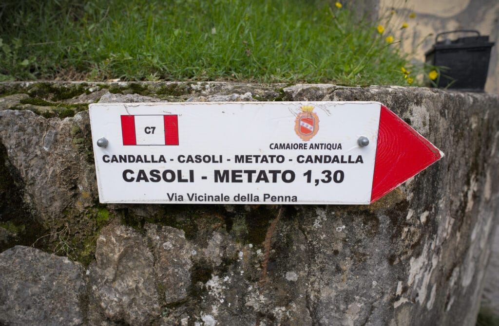
After my morning trail run, I join Fabienne at the van where we decide to leave for the other side of the mountains for one last hike before heading back to Switzerland. Our idea was to do a nice loop from Metato above the village of Camaiore ( not far from Alto Matanna as the crow flies, but it took us 1:30 by car to get there lol). This hike includes the Candalla waterfall, the pretty village of Casoli and some interesting archaeological sites (this tour is part of the “Camaiore Antiqua” project, which allows you to discover forgotten paths in the area).
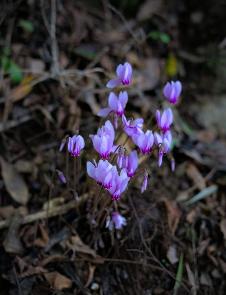
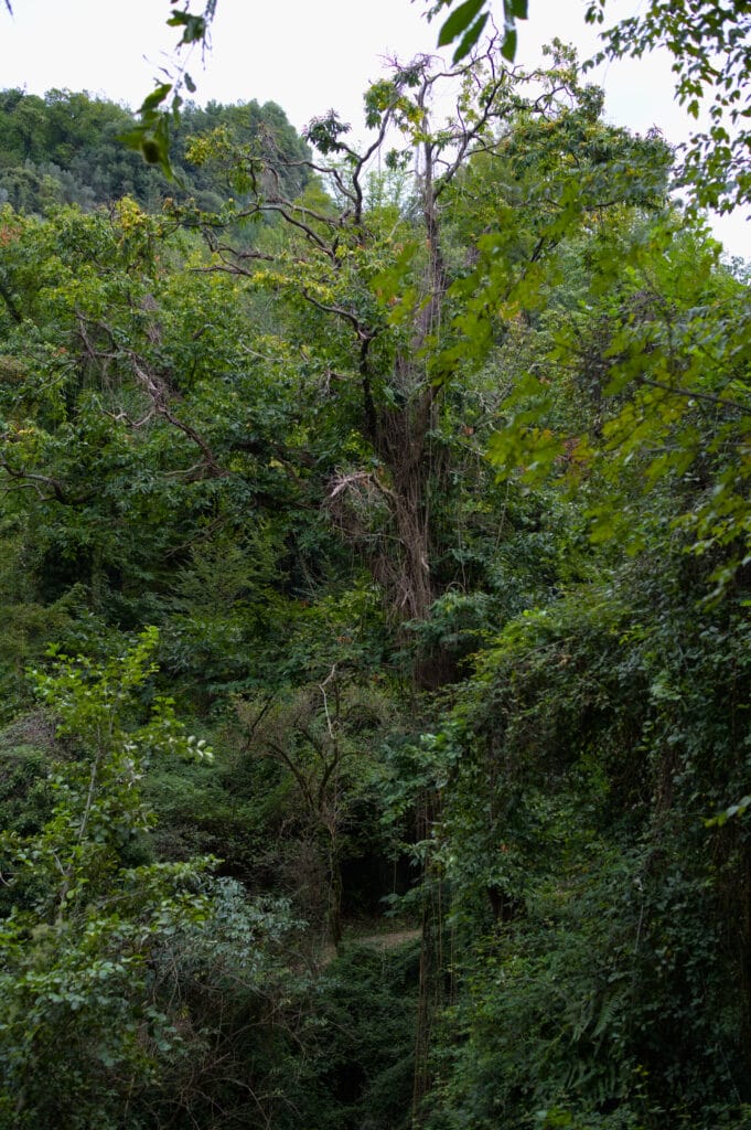
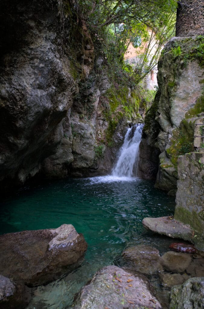
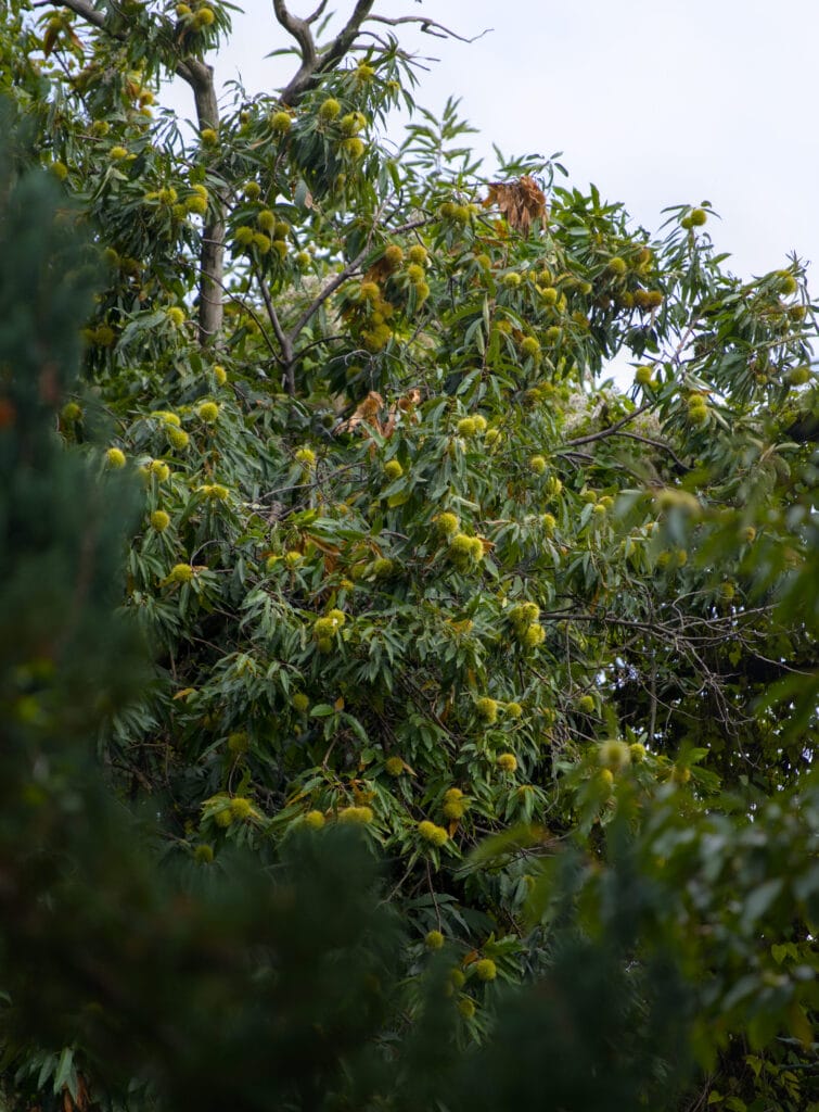
We decide to start from the village of Metato (where there’s a parking lot), as we’d read online that it can be difficult to park near the Candalla waterfall. From there, we descend through a lush forest with impressive chestnut trees all around us. After 1.5 km of descent, we arrive at Candalla, where cars are vainly trying to park (we’d have had a hard time with our van). The waterfall isn’t very big, but the river is beautiful, with lovely pools that are almost inviting for a swim.
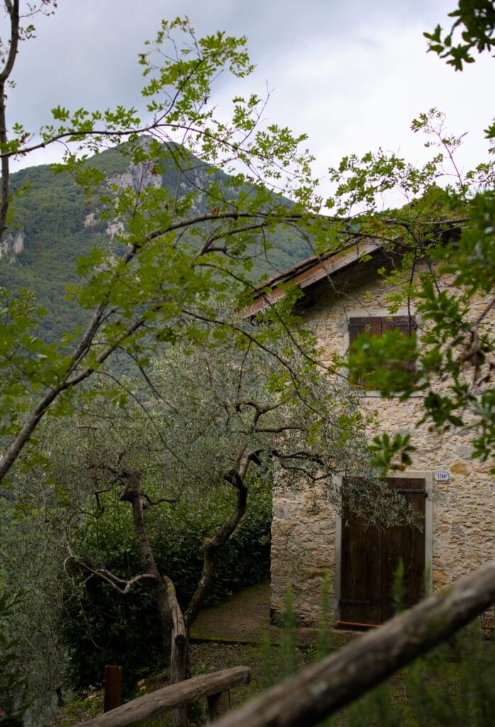
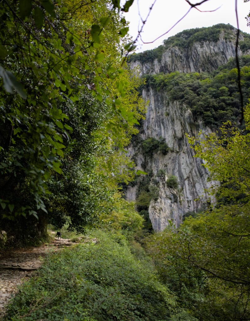
We cross the bridge to climb up on the other side of the river, beneath the impressive limestone cliffs of Monte Penna. There are several climbers on the cliff. But you should know that this is a spot for advanced climbers, with routes starting from 6B and going up to 8C (see 27 crags).
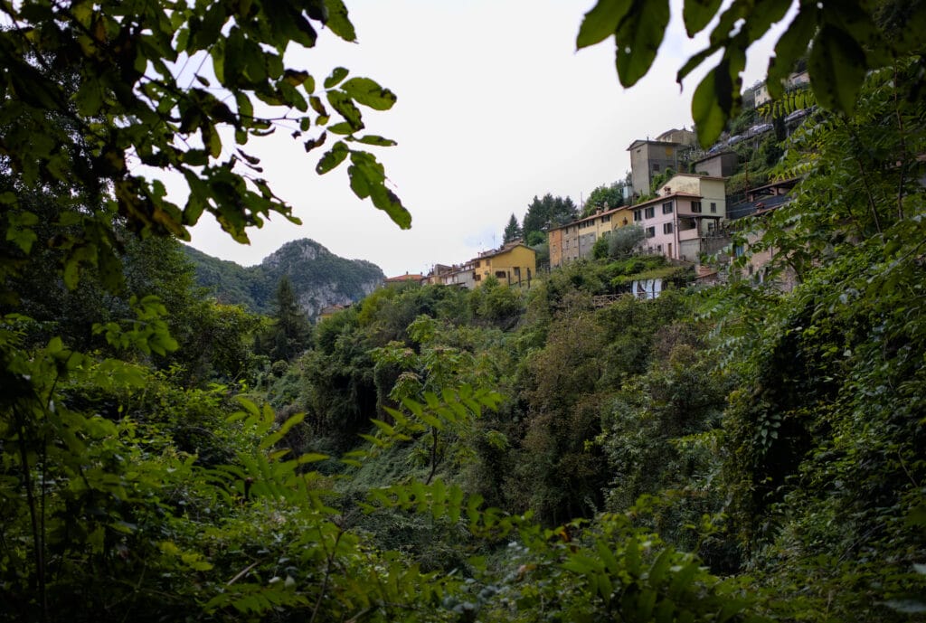
As we don’t have the level to climb there, we continue our walk up to the village of Casoli, where a nice surprise is waiting for us. This hillside village is apparently renowned for its street art and is a veritable open-air museum. So don’t imagine murals painted with paint cans! In Casoli you’ll find sgraffiti (with an “s” for street graffiti), which consists of superimposing different coloured layers of plaster and then scratching off the material to create a piece of art.
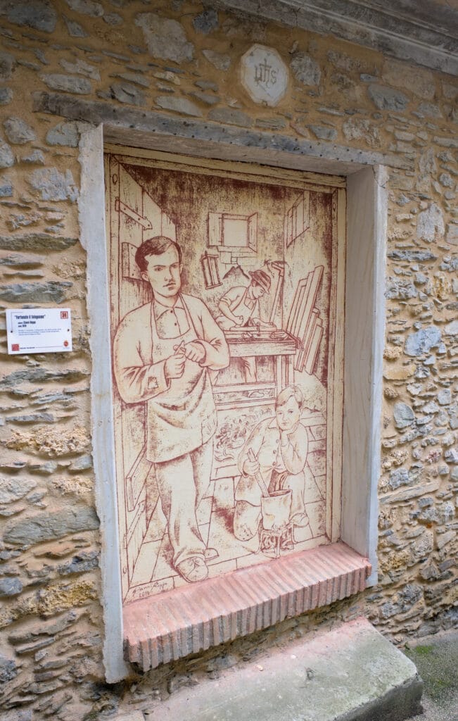
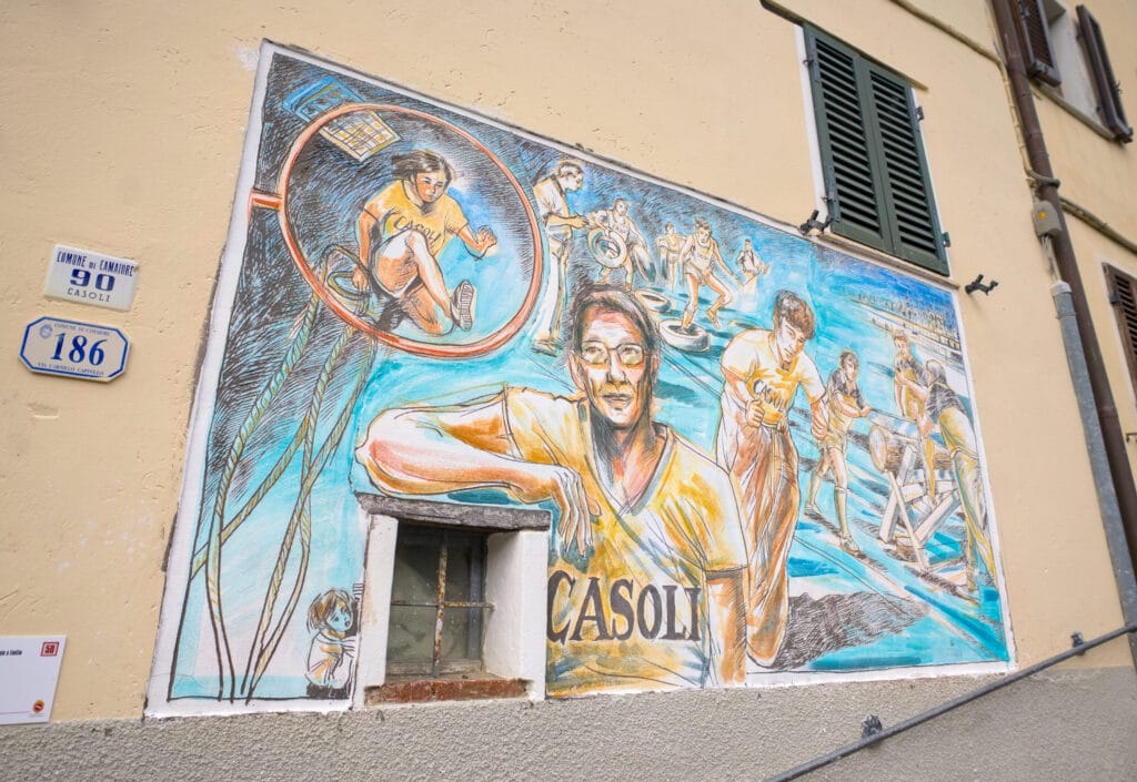
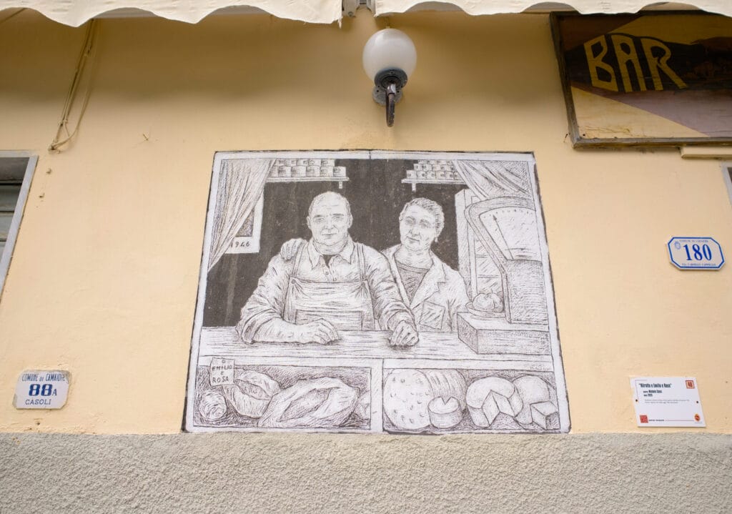
The idea behind this tradition came from the artist Rosario Murabito, who fell in love with the village and decided to honour it by creating the first sgraffito. Since then, many artists have succeeded each other in creating new sgraffiti all over the village. In short, this is an atypical village, like an open-air museum, well worth a visit in our opinion.
The trail then continues towards the Casoli cemetery and the Lombricese river. Just after the bridge, it’s possible to turn left along the river to reach some pretty pools and a cave at the far end. Otherwise, the path climbs back up towards Monte Penna. There’s another fork on the left just before the summit which leads to the prehistoric Tambugione cave (apparently it was a communal grave over 5000 years ago)… But I must admit we were too lazy to make the 40-minute detour.
From there, there’s not much further to Metato village and the end of this lovely loop hike… and if you really want to finish this tour in style, do as we did and stop in Camaiore’s main square for an ice cream at Gelateria Mondo Goloso… you won’t regret it!
- Distance: 5,9 kms
- Elevation change: 390m +&-
- Duration: 2-3h
- Difficulty: Easy (a hike that’s truly accessible to all)
Other ideas for things to do in the Alpi Apuane Natural Park
- I mentioned above the Carrara marble quarries, and some of them can be visited. For example, you’ll find some ideas in this article.
- There are several caves that can be visited in the Apuan Alps Natural Park, such as the Antro del Corchia, the Caves of the Wind and the Equi Caves.
- There are also several artificial lakes, such as Vagli Lake and Isola Santa Lake, which look very nice.
- For more information, take a look at the Versilia website.
That’s it for our little adventures in the Apuan Alps. Even if our stay in the area was cut a little short by unpredictable weather, we really enjoyed this region between sea and mountains. No doubt we’ll be back again to explore it further and visit the Cinque Terre at the same time 🙂
Pin it on Pinterest
Join the discussion