New article on the blog and this time we'll tell you about a nice hike in the German part of Switzerland! Last week we had an appointment in the middle of the afternoon near Zurich and we decided to go stretch our legs in the morning and, why not, try to reach a nice viewpoint to see the lake of Zurich! As they were predicting stratus below 800m we spontaneously chose to go to the Sihlsee. Situated at 900m altitude, we were almost guaranteed to be above the clouds.
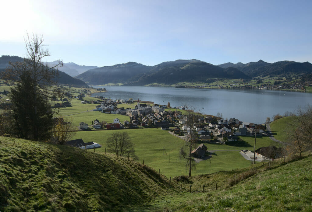
Our goal for the day? The Stöcklichrüz. This name, which for non german speakers might scratch a little at the bottom of the throat while pronouncing it, is a well known hike near Zurich because it has the particularity of offering a 360° view of Lake Zurich, the Sihlsee but also the surrounding mountains.
Ok, Let's go for a nice walk in the canton of Schwyz!
Departure from Willerzell on the Sihlsee shores
The walk starts right next to the lake, at the camping site "Grüene Aff" (there is free parking along the road and a bus stop). The first stage of the hike is to cross the campsite and then we arrive on a small road overlooking the lake. The section on the road is very short and we quickly takes on the left to go up towards the pastures.
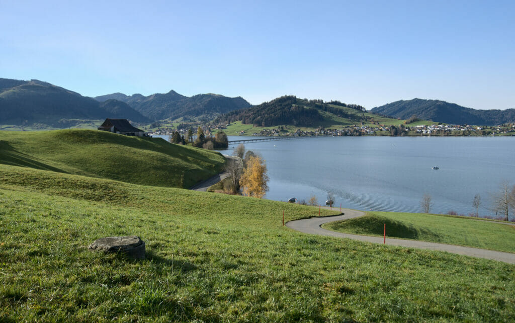

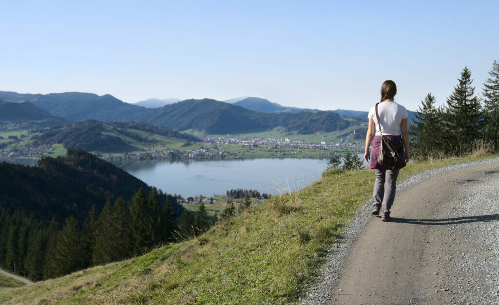
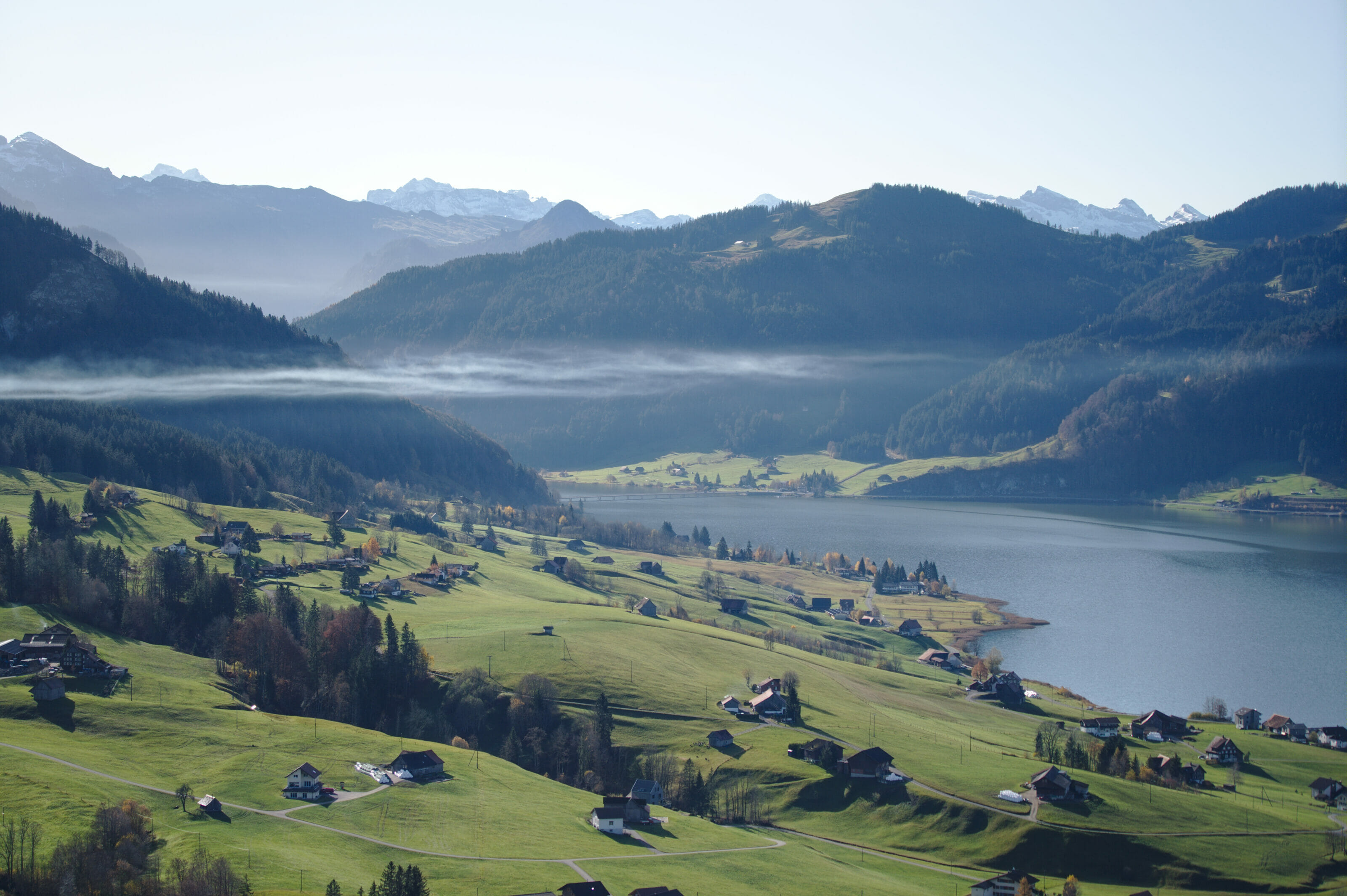
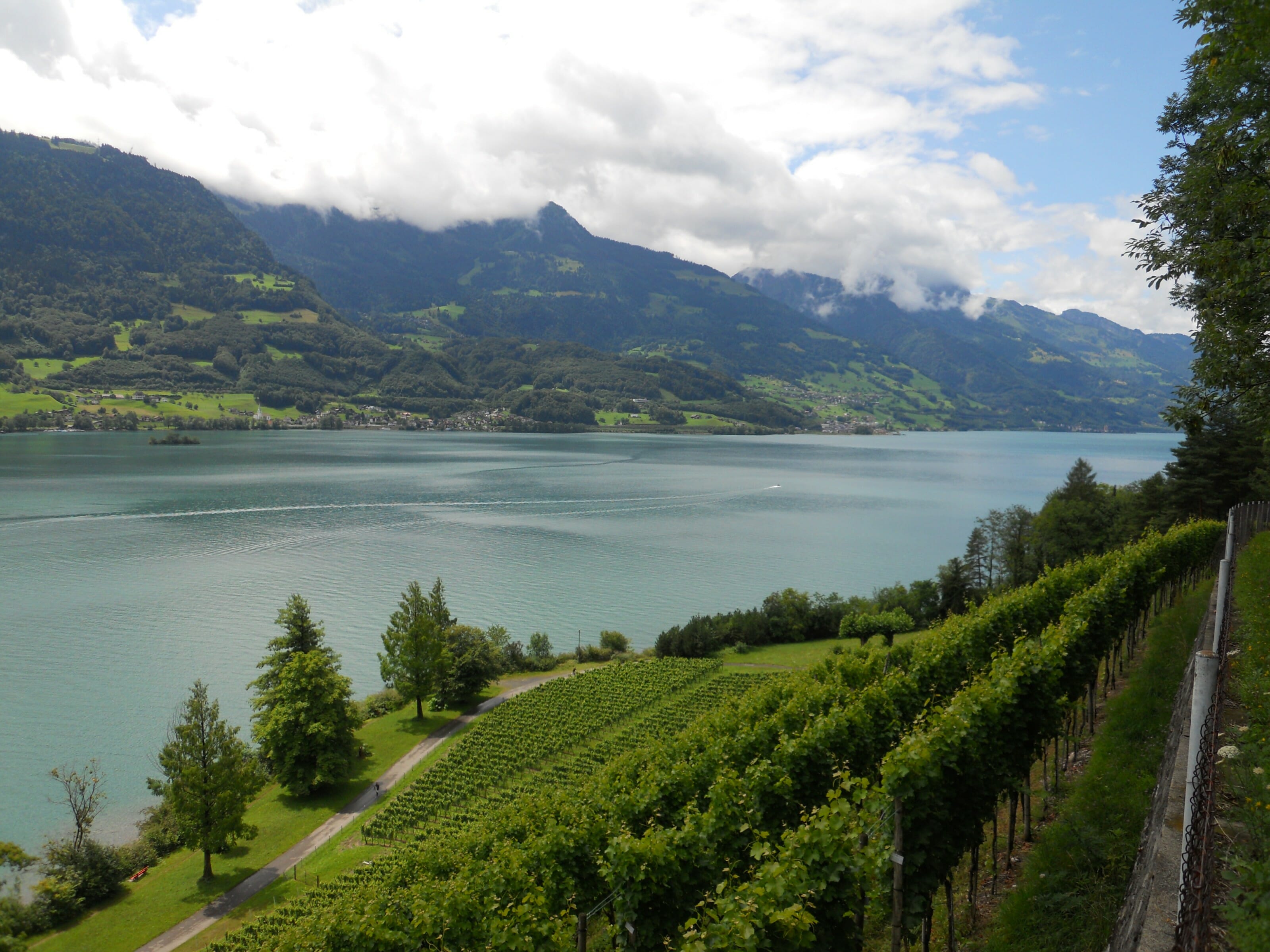
During the ascent there were 2 things that particularly impressed us: the first one? The view! As we get higher, the view on the Sihl lake becomes clearer and we can even see in the distance the level at which the stratus is located!
The second thing that intrigued us was… a chairlift (sorry, I think it made us smile so much that we forgot to take a picture of it). In short, a chairlift seems to arrive in the garden of a house. The intriguing thing is that there was a fence all around. Jokingly, I told Benoit that it was probably a private chairlift for the guy who lives there to bring up his groceries. A few searches on the web later it seems that my intuition was good! It's indeed a private chairlift! haha we've seen everything!
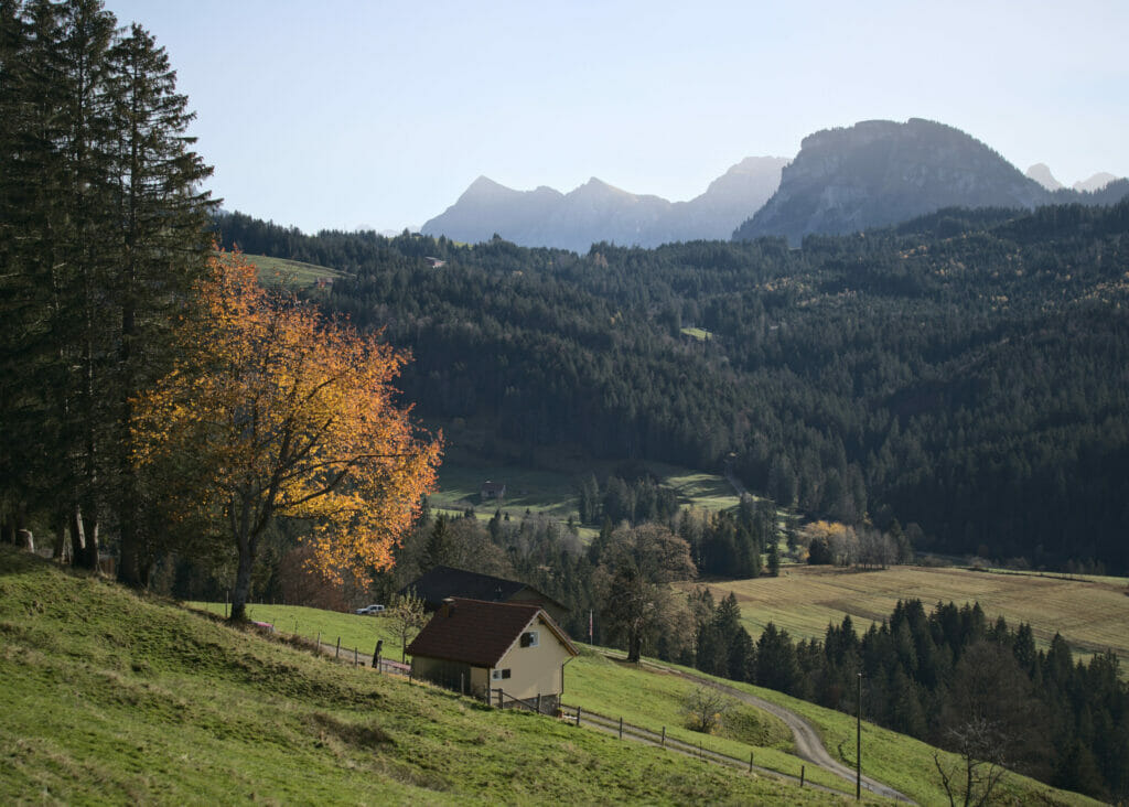
Arrival at Gruebhöchi and its panorama
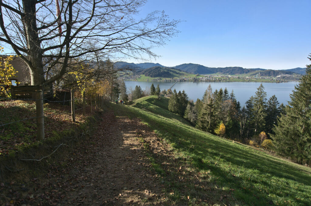
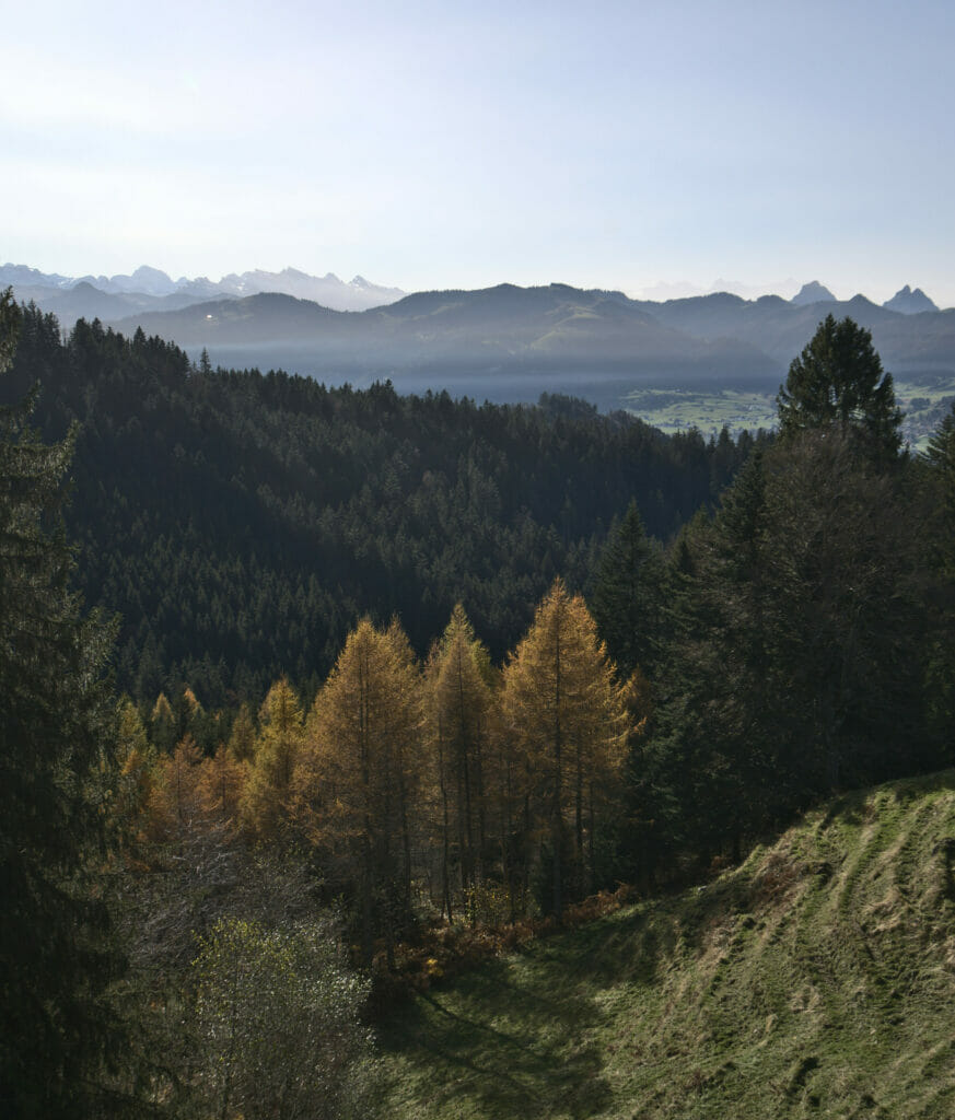
The next part of the climb went without much suspense I want to tell you. The path is very well done, the slope is regular and above all the panorama is still breathtaking. As we go further and further away from the Sihlsee, we can see more and more mountains in the direction of the canton of Glarus.
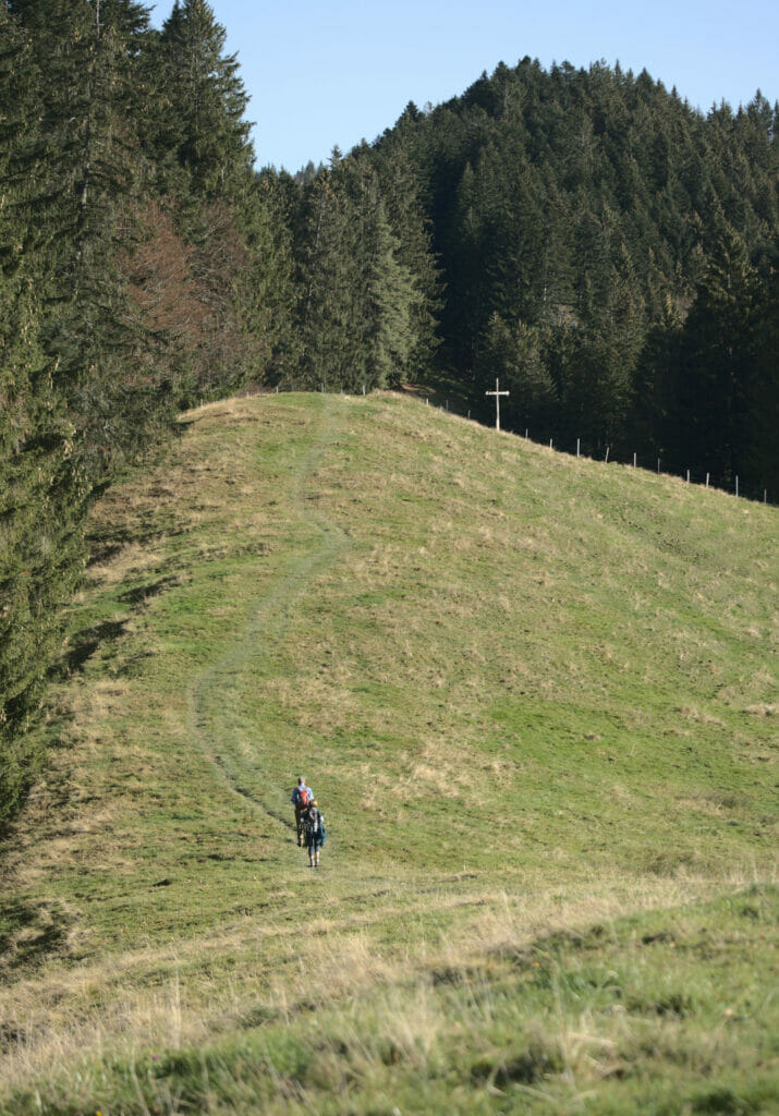
After an hour of ascent we arrive at the foot of the Gruebhöchi, a small peak with its cross from which we follow a wide track while enjoying the view.
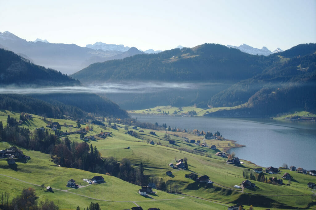
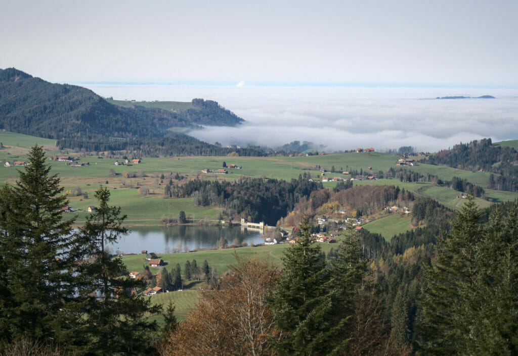
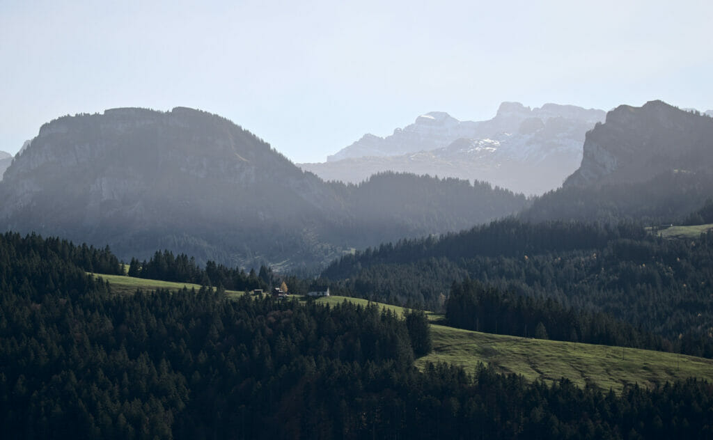
Scenic walk to the Stöcklichrüz
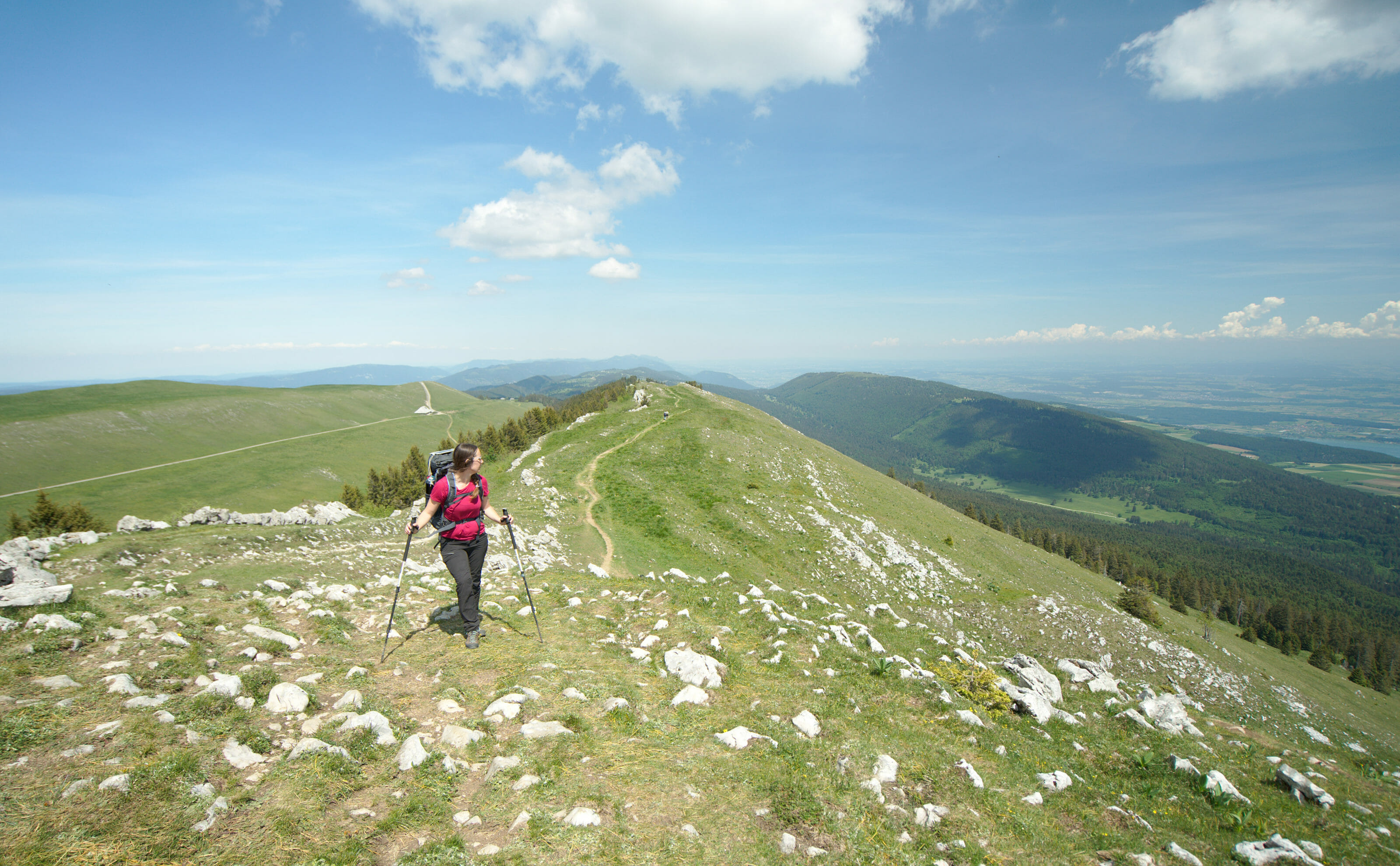
From the Gruebhöchi we are more or less done with the ascent (ok there are still a few meters at the end to reach the StöckliChrüz but it's really very short). During 1,5km we walk almost flat with, again and again, a stunning view on the lake and the surroundings.
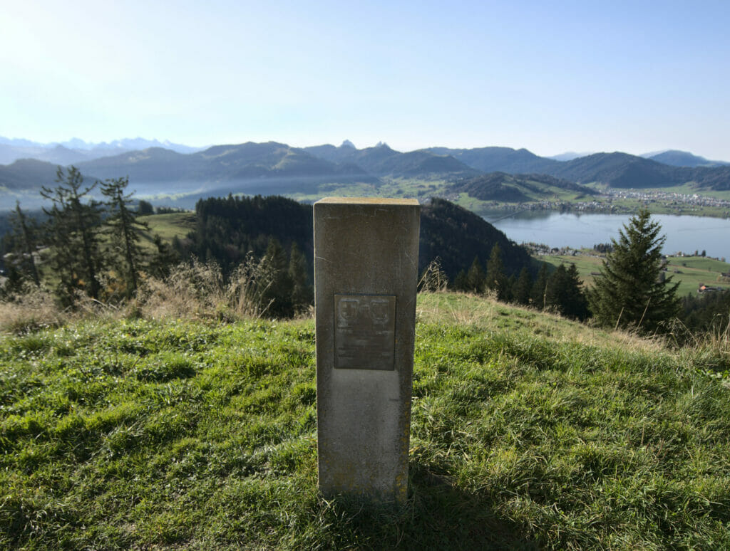
At the very beginning of the track we passed by a small memorial erected in memory of the Polish soldiers. I confess that this is a part of history that I was totally unaware of… In fact, in 1940, faced with a German offensive 30,000 French soldiers and 12,000 Polish soldiers asked to join the "neutral Switzerland", they were what we call "internees". While the majority of the French were able to return to France in 1941, the Poles had to stay until the end of the war. During this period, the unarmed soldiers were sent to farms and camps where their mission was to build roads and bridges, maintain forests, lay railroad tracks, but they also contributed enormously to the development of agriculture (labor force and creation of new agricultural areas) during the wartime when imports were difficult.
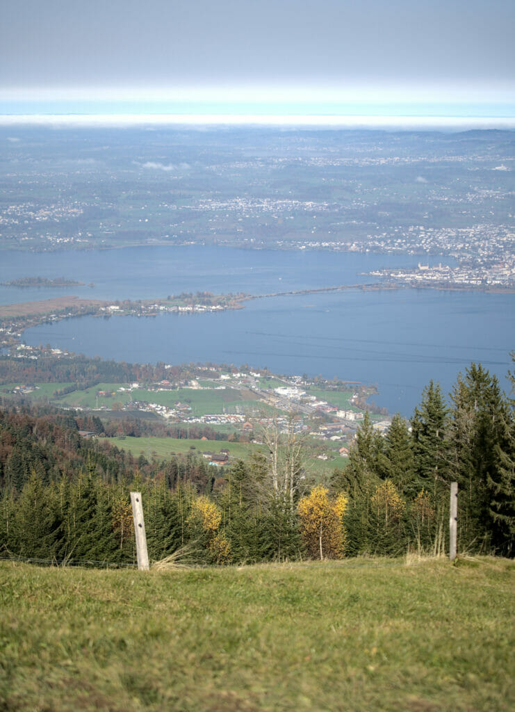
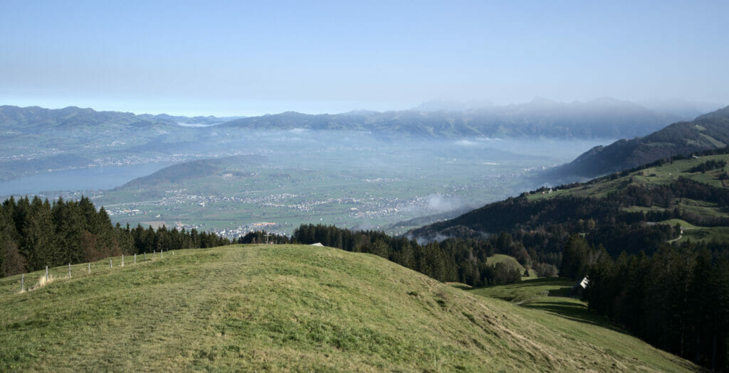
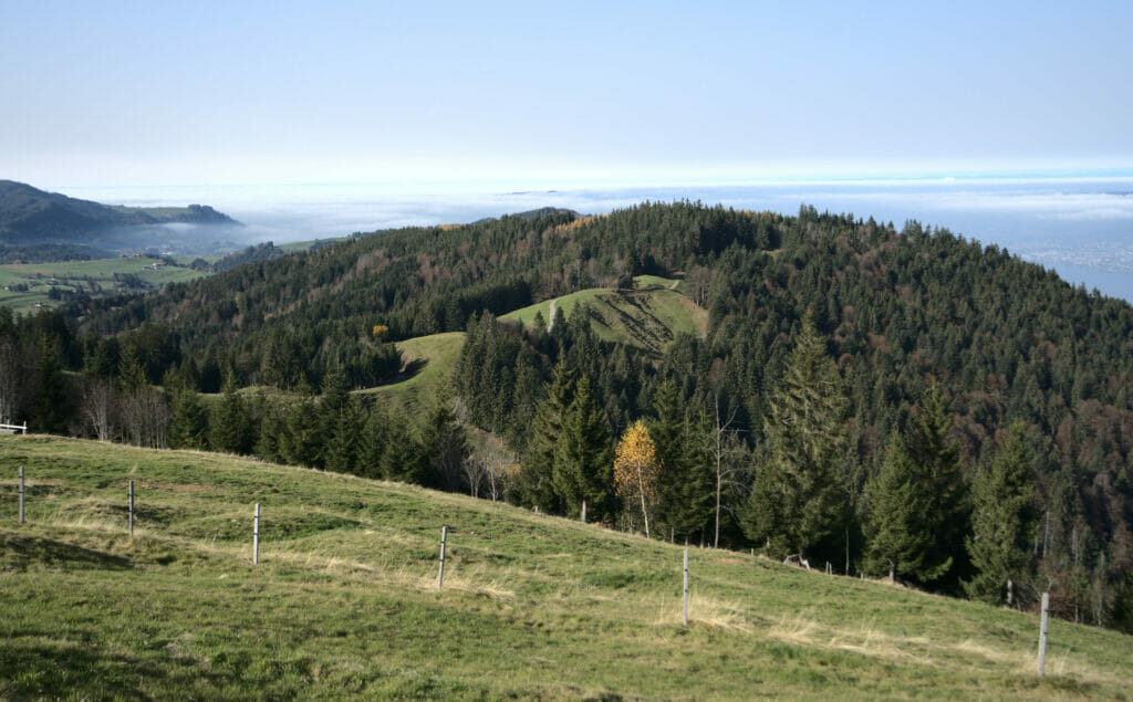
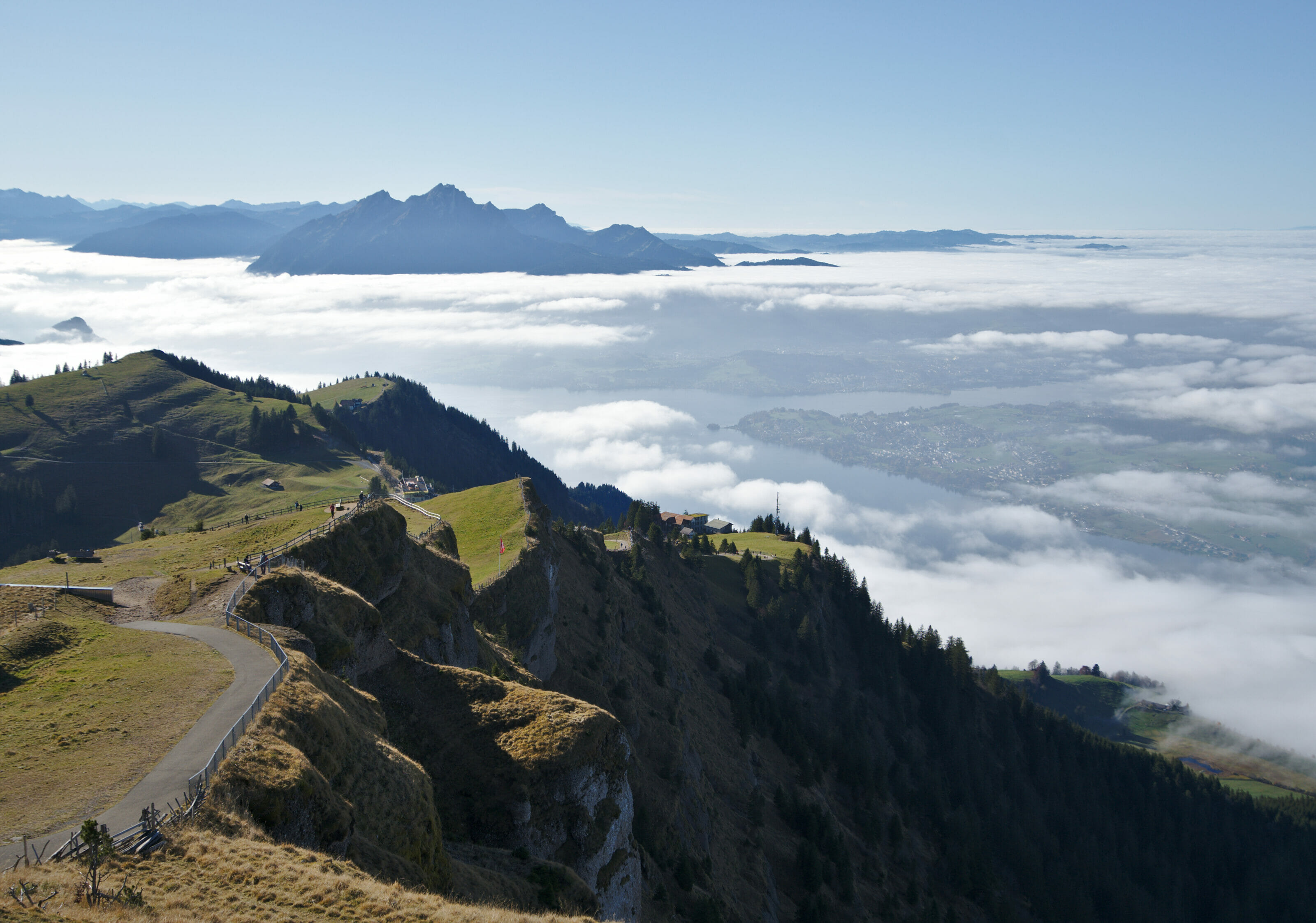
Once at the Stöcklichrüz it's the ultimate reward: a magnificent view of Lake Zurich! We did not especially prepare for this hike in advance and we were surprised to find such a nice viewpoint (the area is quite well known in the region and clearly it is not a secret for the locals, but we had never heard about it before and went up there without knowing what to expect).


Return to Willerzell by a "forgotten" path
It must have been 12 o'clock when we were still at the top of the Stöcklichrüz. According to our "official" route (which we had hastily made up the night before) we still had something like 8km left to reach the car. The problem? Our afternoon appointment was at 3pm and we were clearly running late.
In short, we took our phones, opened maps.me and looked for the most direct way to the parking lot. 5km instead of 8, it seemed like a decent option! 🙂
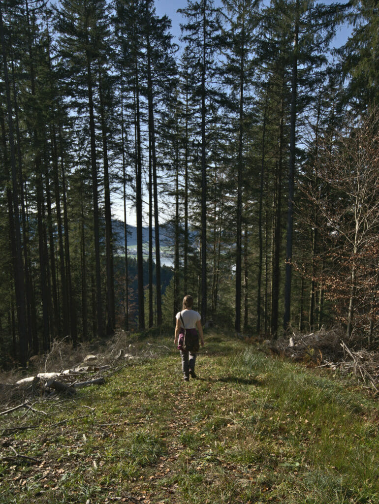
So I reassure you right away, the descent went very well even if we quickly understood that this path, although indicated on the topo maps was not really marked or maintained. It seems however that it is used from time to time by locals because there were still some "fresh" footprints in the mud (I sound like a trapper in Alaska with this sentence haha). Anyway, our itinerary to reach the lake shore will have been a bit steeper and probably a bit more freestyle than the official marked trails. You'll see it on the map below, but we put the official variant (if you're not in a hurry as we were, it could be an option 😉 )
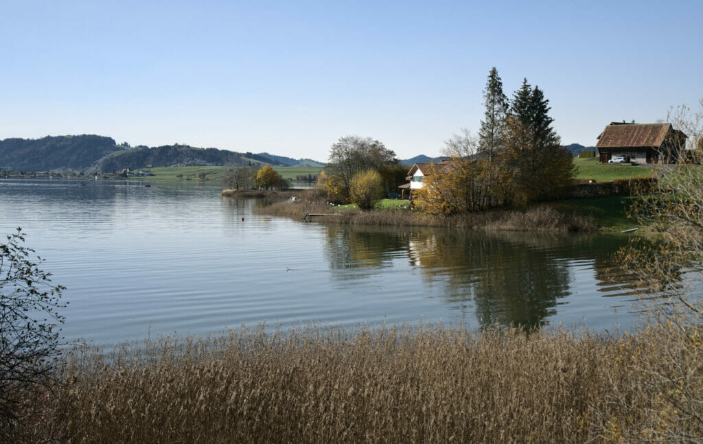
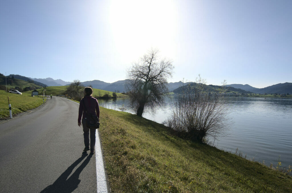
The last kilometers of the walk take place along the small road that goes around the lake. I admit I'm not a big fan of the sections along the road, but let's just say that this one is perfetly fine! The road is not what one might call a busy road and... the views are pretty nice.
Map and practical information for the walk from the Sihlsee to Stöcklichrüz
- Distance: 10.5km (short version) or 13km (long version)
- Elevation change: about 450m (+ and -)
- Dificulty: easy hike
- Departure and arrival: Free parking on the Sihlsee. Type "camping Grüene Aff" in Google maps to find it. There is a bus stop "Willerzell, Grüene Aff" (bus line N°552). Timetable here.
- Terrain: Part of the walk is on the road. But the road is relatively little frequented and above all it is very nice. Nevertheless, caution is required on this section.
Hiking map from Sihlsee to Stöcklichrüz:
Notes: The red route is the one we followed. Yellow would be the longer version but follows the marked trails. If you have the time we recommend the latter, the views of the lake of Zurich seem very nice towards Egg. Don't pay attention to the difference in altitude on the map, the red and yellow routes are cumulated, in reality there is only one ascent then one descent (more or less steep depending on the option chosen).
That's it for this nice panoramic walk near Zurich. We look forward to seeing you soon for other walks in Switzerland!
Pin it




Join the discussion