In Andalusia, we met several travelers who told us that the region north of the Sierra Nevada and the province of Granada was absolutely beautiful (even if we were far from imagining how beautiful it was 😉 ). But anyway, as we came through the province of Almeria and the natural park of Cabo de Gata, we had first driven through the south coast in order to meet a friend for the holidays in the region of La Axarquia, close to the city of Malaga.
So it is only when we left the south of Andalusia, after having spent 2 weeks in the village of Jimena de la Frontera, that we started to wonder which way we would take to go back to Anceu Coliving in Galicia. If you look at a map of Andalusia, you will notice that the Guadix region and the Gorafe desert were certainly not the most direct way to Galicia… But we finally decided to go there anyway!
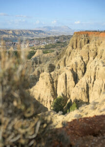
And what a good idea it was to trust our intuition and make this detour to the north of the Granada province! This region is absolutely SPECTACULAR! The landscapes reminded us a lot of Cappadocia and its fascinating rock formations. I think we can even say that this is our favorite region of Andalusia so far.
Well, let's not make you wait any longer and let's show you why we loved the Guadix region so much!
- UNESCO Geoparque de Granada
- Badlands de Purullena and Carcavas de Marchal
- Mirador del Fin del Mundo
- Cave houses in the Guadix region
- Hike through the Badlands and cave houses around Guadix
- The Gorafe megalithic park
- The incredible Gorafe desert
- Gorafe desert circle hike (Ruta del desierto de Gorafe PR-A 426)
- Map of the things we saw in the Guadix region
UNESCO Geoparque de Granada
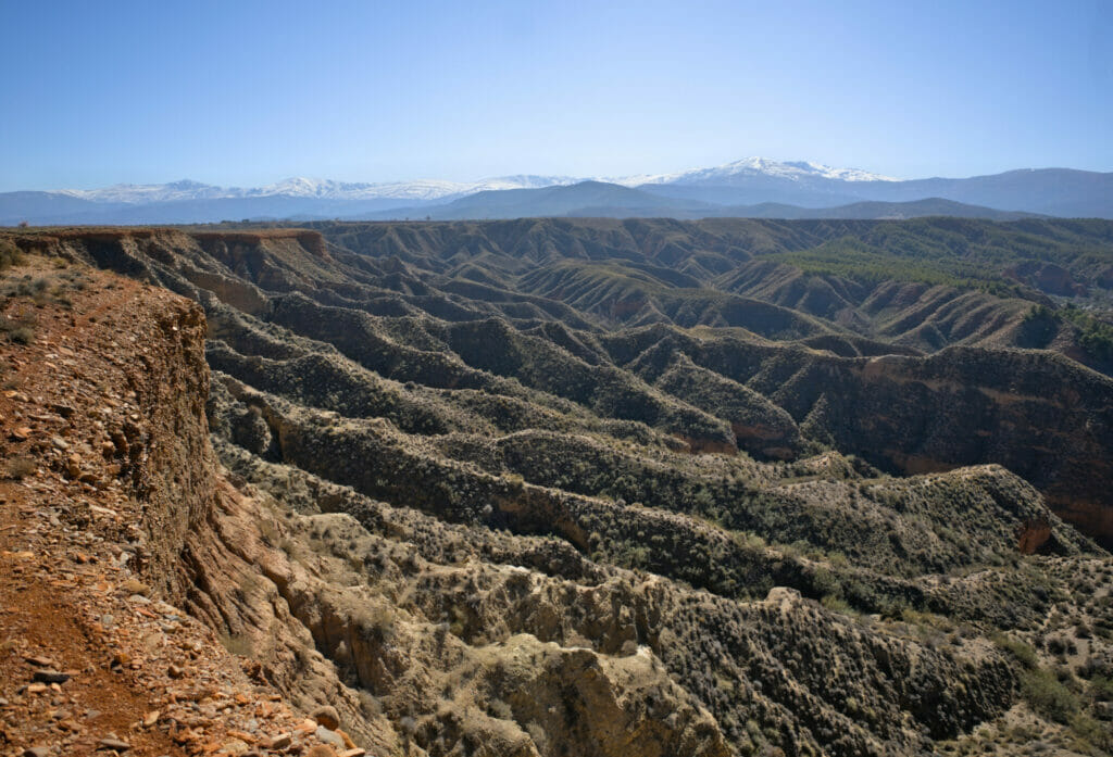
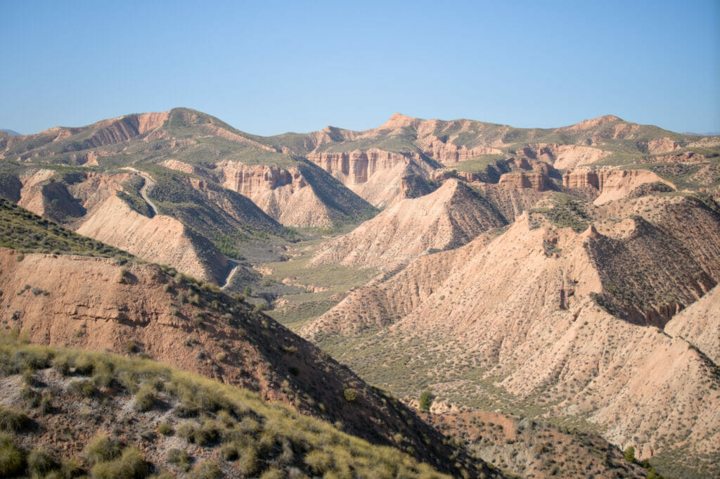
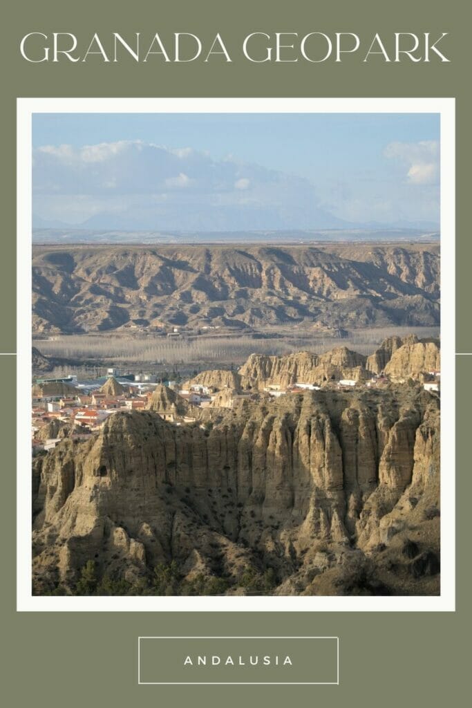
In fact, the entire high plateau between Sierra Nevada and Sierra de Cazorla is part of the Geopark of Granada. Here we find some of the most unique landscapes in Spain… those of a desert shaped by thousands of years of erosion, creating impressive rock formations (badlands, gullies) with multiple colors (yellow, purple, green). To protect this wonder of nature, the park has been integrated into the global network of UNESCO Geoparks.
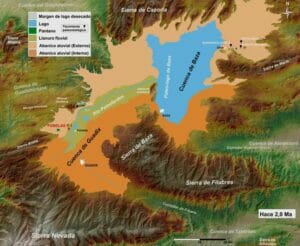
You will notice that the region of Guadix is surrounded by mountains with the Sierra de Huétor, Sierra Nevada, Sierra de Baza to the south and Sierra de Magina, Sierra de Cazorla and Castril to the north. Millions of years ago, this large basin did not let the water escape to the ocean, which formed a lake around the present city of Baza. The water thus accumulated for thousands of years, gradually filling the basin with sediment.
It was only later that this basin finally opened up to the west through the Guadiana Menor River, which later flows into the Guadalquivir River (which crosses all of Andalusia to flow into the Atlantic Ocean south of Sevilla). Since then, the many tributaries of this river (such as the Rio Fardes) have had no problem shaping their way through this layer of sediment, creating through erosion the spectacular landscapes that we enjoy today.
Well, now that you know a little better how these landscapes were shaped, we will share with you the places we liked the most in the region.
Badlands de Purullena and Carcavas de Marchal
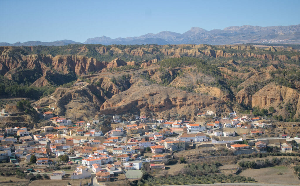
We start our exploration of the region by arriving from Granada to the small village of Purullena, which is known in the region for its cave houses. Besides there is a museum in a 3 floors troglodyte house here but we will discuss it again below in the part dedicated to the hike we made in the area.
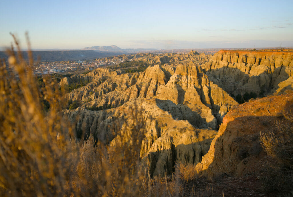
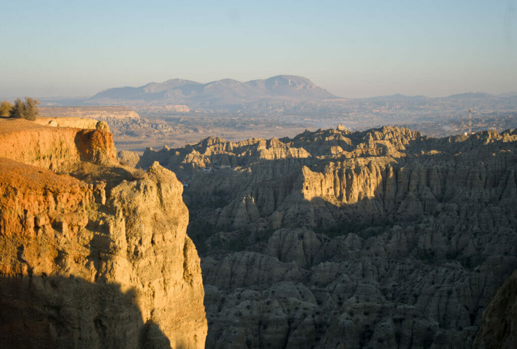
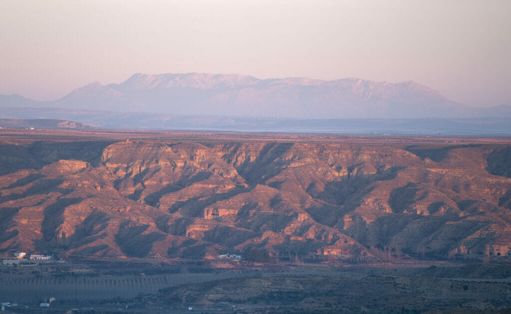
But what struck us directly when we arrived in Purullena, is the impressive rock formations that are all around the village. So, with the van, we immediately took a track going up to the right after the village towards the miradors Badlands de Purullena and Carcavas de Marchal (see map).
In the Guadix region, there are many tracks that allow you to reach certain viewpoints or to find nice isolated spots. However, you have to know for yourself how far you can go with your vehicle. Just to go to the Badlands of Purullena lookout, I think that you shouldn't have a too long vehicle… and above all, don't venture on these tracks when the weather is bad if you don't have a 4x4 vehicle.
With a normal vehicle, if the weather is good, there is no problem to reach these viewpoints by car (on the other hand I would not try it with a big camper). But otherwise, you can also simply park in the village of Purullena and walk to the viewpoints (30min-1h walk) to enjoy these beautiful landscapes. On our side, with our van Dahu we had no problem driving up to the miradors and we even stayed in this area for the night… One must admit that we have known worse as sleeping spot 😉
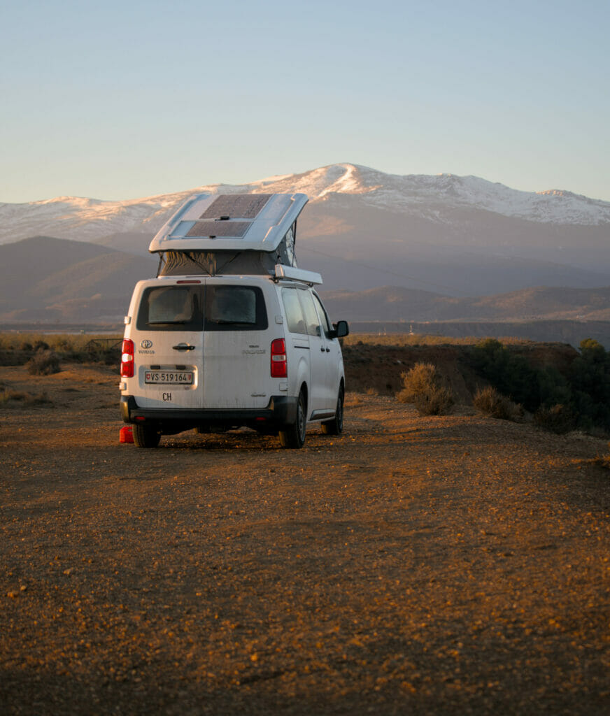
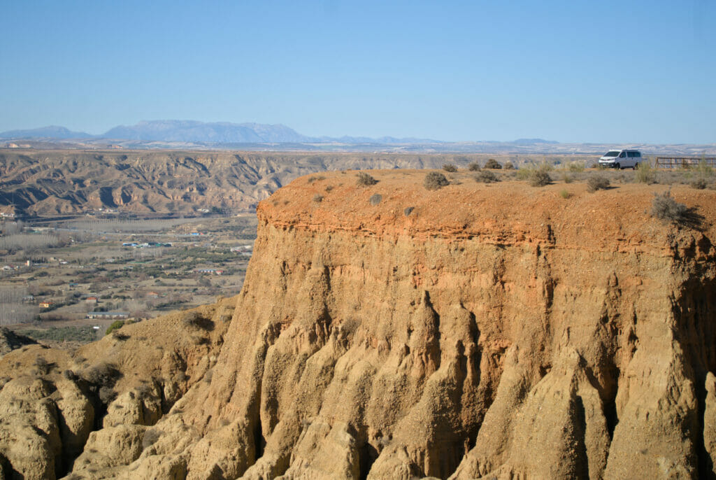
In fact these two viewpoints are practically at the same location, at the edge of the cliffs which overlook these impressive rock formations produced by thousands of years of erosion. However, there seems to be a little fight between the 2 closest municipalities as all the explanatory panels are tagged by crossing out the name of Purullena to write Marchal on top lol. So Badlands of Marchal or Purullena, you choose 😉
At the viewpoints you will also find several signs that will explain in detail how these so-called "Badlands" were formed ("badlands" is a word that characterizes this type of arid and not very fertile land). We recommend you to come to the viewpoints in the late afternoon or early morning to enjoy the beautiful lights that bring out the yellow-orange colors of the landscapes. We liked this place so much that we stayed there for 3 days in order to have enough time to explore every corner of it.
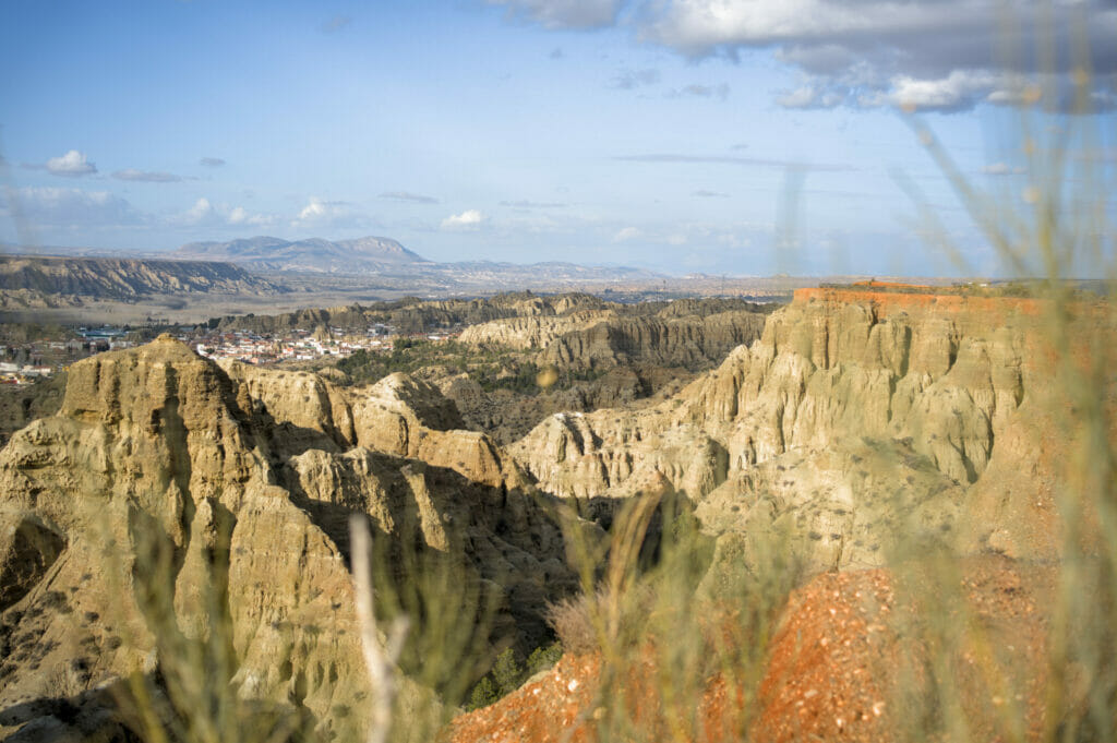
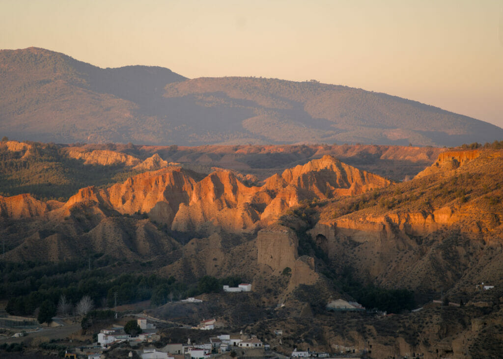
Mirador del Fin del Mundo
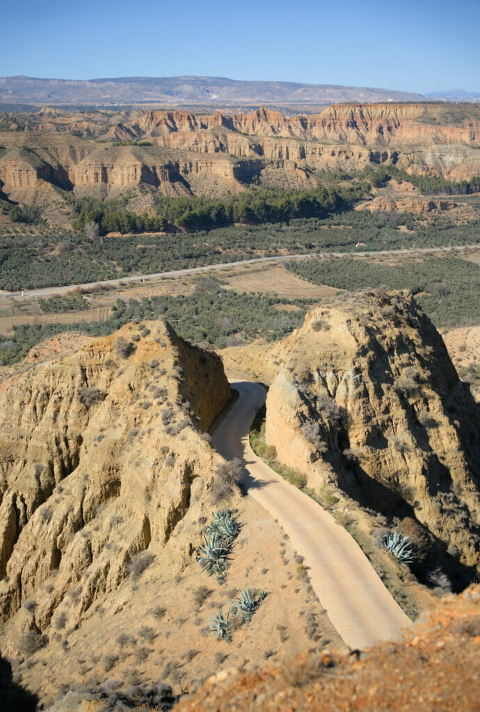
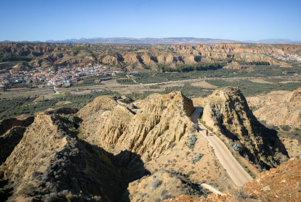
Located not far from the two above mentioned viewpoints (see map), the Fin del Mundo Mirador is also worth a visit. When you look for it on the internet, it is often mistaken for the Badlands of Purullena and Carcavas de Marchal (it is always the photos of these that come up first). However, it is located a little further south, in front of the village of Beas de Guadix.
We came to this viewpoint on foot (we talk about this hike just below) but you can also come either from the village of Paulenca ( fairly flat track) or from Beas de Guadix (road that goes up quite steeply and where it is very difficult to cross). But if you are in good shape, we recommend you to park in Beas de Guadix and walk up (15-20 minutes for about 1km).
Otherwise, who knows why they called this viewpoint "Fin del Mundo"… In general, Fin del Mundo or the end of the world is usually associated with places very far west like Fisterra in Galicia or the Pointe St-Mathieu in Brittany. In any case, you will have from there a magnificent 360 degrees panorama on the badlands and all the surrounding mountain ranges. Judge for yourself:
Cave houses in the Guadix region
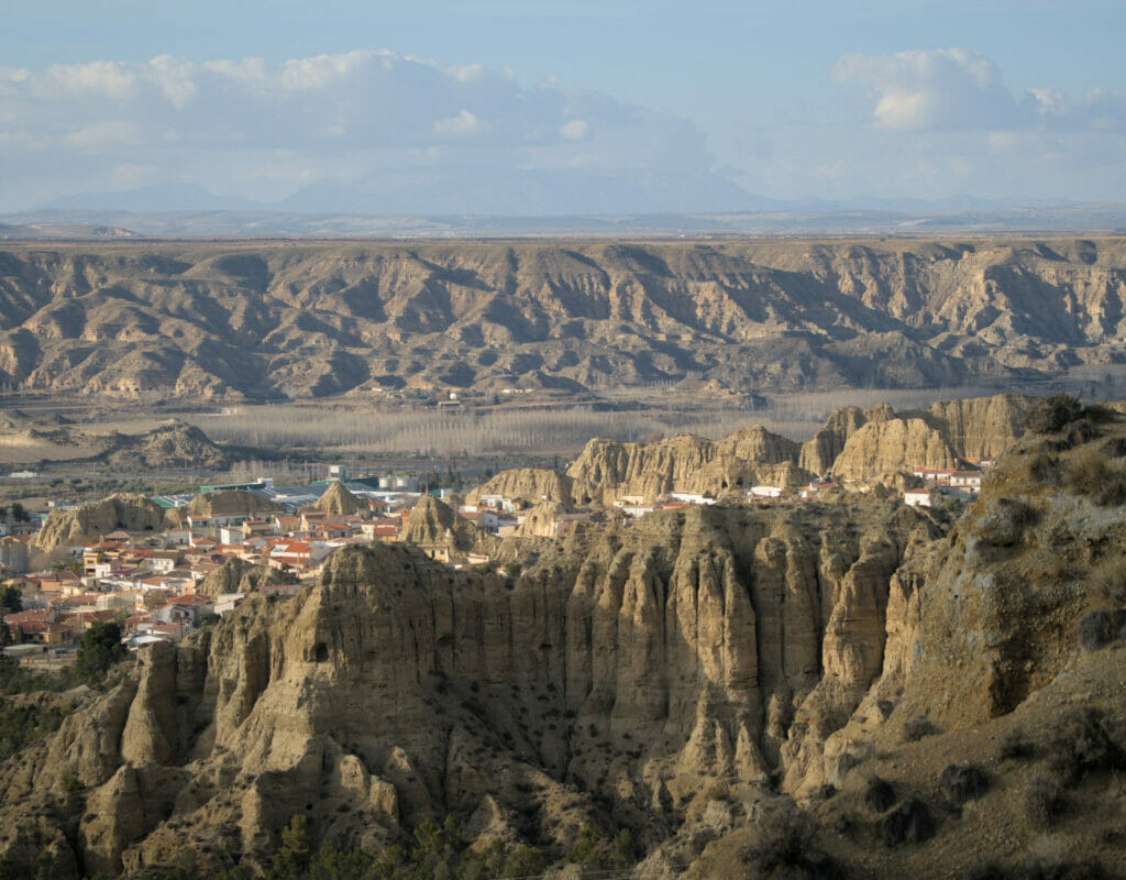
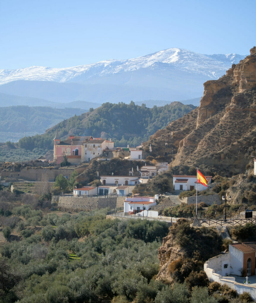
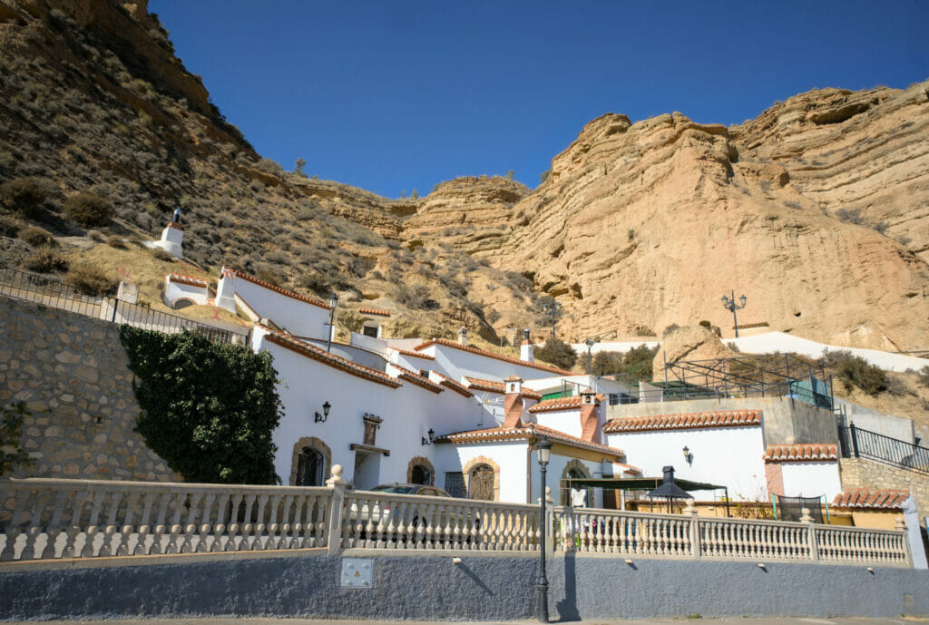
In the villages of Purullena, Marchal, Beas de Guadix and the town of Guadix, many people still live in cave houses. This is the region in Europe with the highest concentration of cave dwellings and several thousand people still live in caves around here.
For hundreds of years, the inhabitants have taken advantage of the favorable topography of the region to enlarge caves and build real houses. The advantage of these troglodytic houses is that the inside stays relatively cool during the hot summer months and the temperature does not drop too much during the winter either.
So if you walk around one of these villages or in the "bario de la cuevas" (cave district) in Guadix, you will see white chimneys coming out of the ground everywhere. With the tourism development in the region, many cave houses have been transformed into unique accommodations. We had already slept in a cave in Cappadocia and we had liked this rather unique experience (but as we were with the van, we did not repeat this experience here).
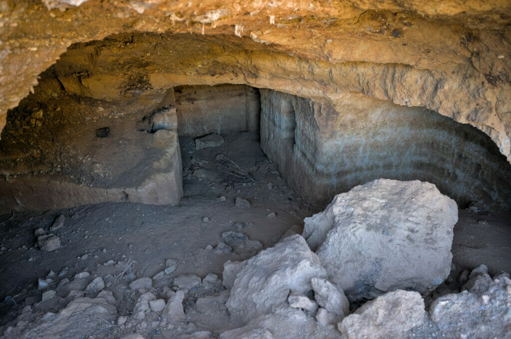
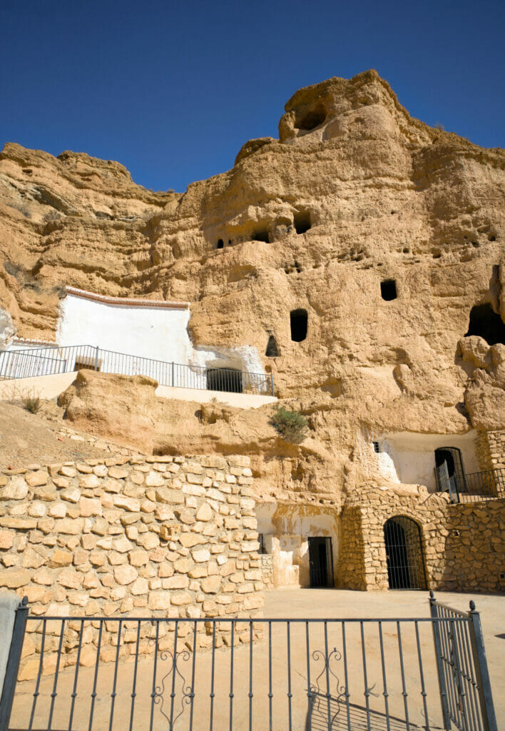
If you want to stay in a cave house, you can take a look at the interactive map below or search directly on Booking.com.
On our side, we mainly focused on the villages of Purullena, Marchal and Beas de Guadix, each of which has many cave houses, sometimes built inside the cliffs. And if you want to see what these houses look like without necessarily staying there you can:
- visit the cave museum La Inmaculada in Purullena (a troglodyte house on 3 floors converted into a museum)
- visit the cave districts of Marchal or Beas de Guadix. In Beas de Guadix there was even a museum which was closed when we visited.
Hike through the Badlands and cave houses around Guadix
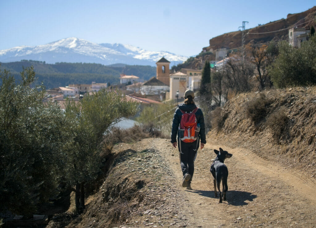
As usual, if we have the chance to make a beautiful hike instead of doing everything by car, we are always going to go for the hike. So, we left the van around the badlands of Purullena in order to make a nice circuit which passes by all the above mentioned spots. So if you want to spend a nice day hiking in the area, this route is made for you. However, it is 17kms long with about 500m of d+-… So make sure it's not too much for you before you start 😉
The hike first follows the cliff towards the village of Purullena with beautiful views over the badlands. The path then dives into the pine forest to reach a track. At the first intersection, turn right (following the Santiago de Compostela signs) to cross a kind of canyon and reach the village of Purullena.
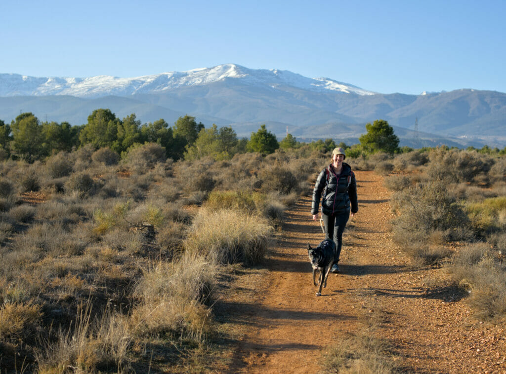
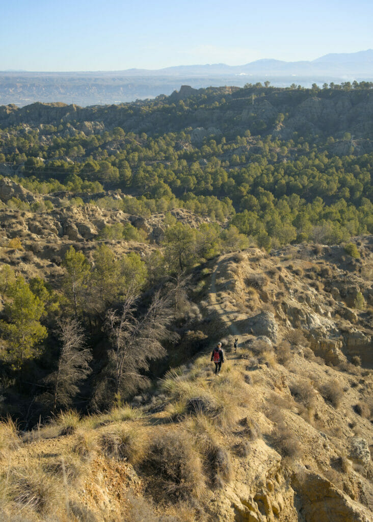
In the village, if you wish, you can visit the cave-museum La Inmaculada before continuing on a nice track through the olive trees until you reach the village of Marchal. At the entrance of the village turn right towards the mirador of San Marcos which offers a breathtaking view of Marchal with the Sierra Nevada in the background.
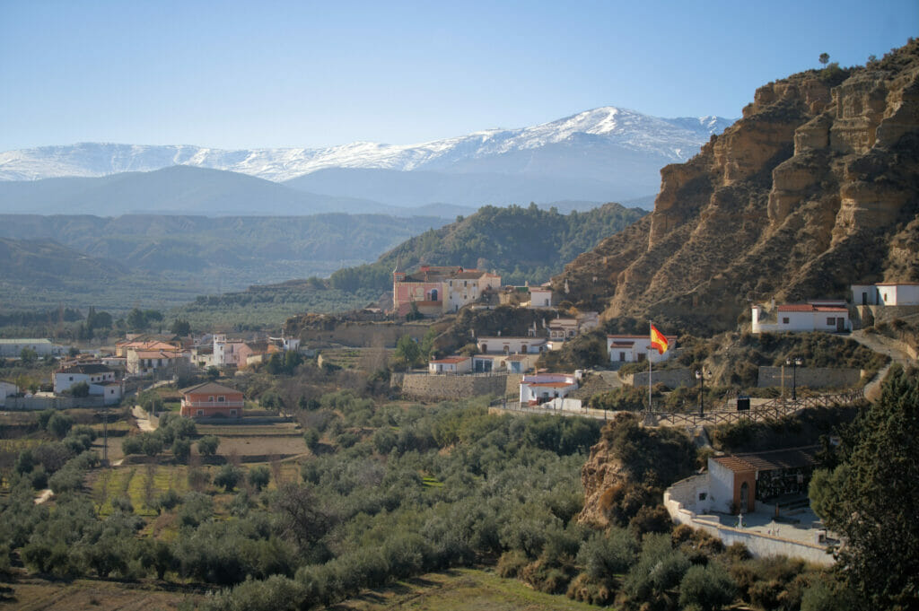
After a short tour of the village to see the various cave houses, we continue along a beautiful path following the signs PR-A 153 and PR-A 298 towards the village of Beas de Guadix. Halfway between the two villages, you can also explore several caves along the path that were probably inhabited in the past.
In Beas de Guadix, there are also some cave houses to visit. There should even be a troglodyte museum but it was closed when we passed. We leave then the village to cross the road and go up a sinuous track towards the mirador Fin del Mundo. The road is not very long, but it is quite steep! Thankfully the view at the top is really spectacular and will reward you for your efforts.
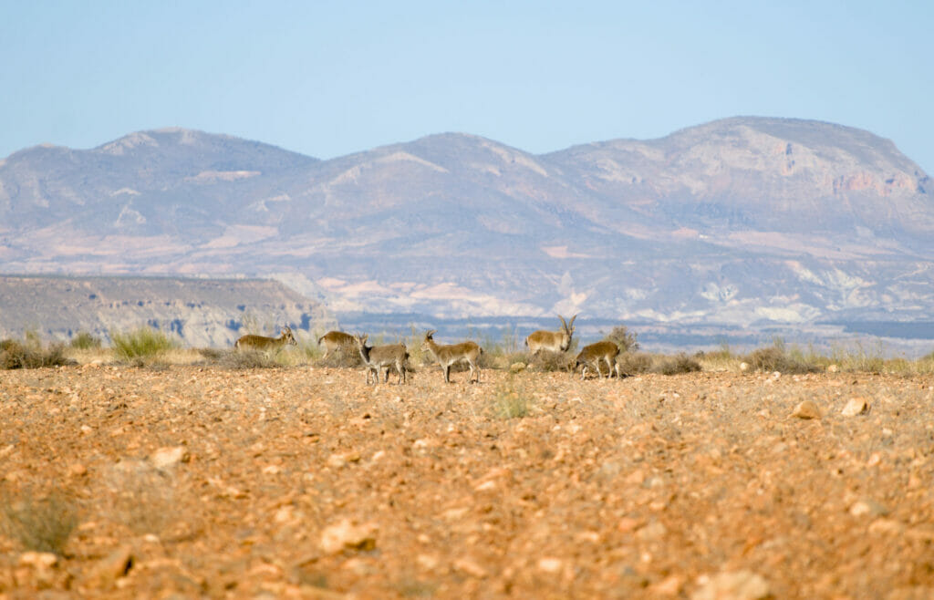
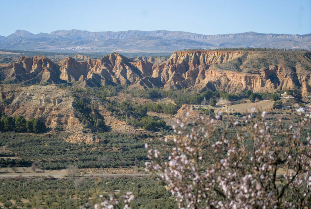
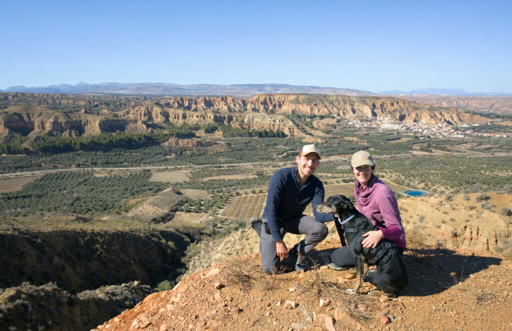
Then, don't do as we did and don't follow the most scenic road along the cliff on the left (it's a dead end) and take the one that goes inland. At the second intersection, turn left to join a path that follows the cliffs and offers a magnificent panorama over the badlands. After 1,5kms on this path, we return to the viewpoints and and the loop is closed as we say.
The Gorafe megalithic park
After 3 wonderful days around Guadix, we drive a little bit more northwards towards the village of Gorafe and its megalithic park. This archaeological site, located on the heights of the Gor valley in the municipality of Gorafe, contains more than 240 dolmens! This makes it one of the largest megalithic sites in Spain and Europe.
In case you don't know what a dolmen is, it is in fact a funerary monument containing collective burials, the oldest of which date from about 2500 BC on the Gorafe settlement. They are generally made of large flat slabs placed on vertical stones which are used as support.
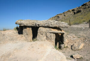
The main parking lot of the park is located on the GR-6100 road, along the curve where the road plunges into the Gor valley, a few kilometers before the village of Gorafe (the largest parking lot is at the top and there is a second small parking lot along the next curve in the valley). The upper parking lot is an excellent starting point to discover the archaeological park on foot.
From the parking lot, there is a trail that goes along the right side of the Gor valley. You will find many restored dolmens to visit and several explanatory panels that will tell you more about these stone constructions as well as the formation of the Gor valley. It is a short walk (1-2 kms) but the scenery over the valley is spectacular and there are many dolmens to discover.
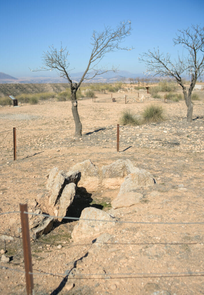
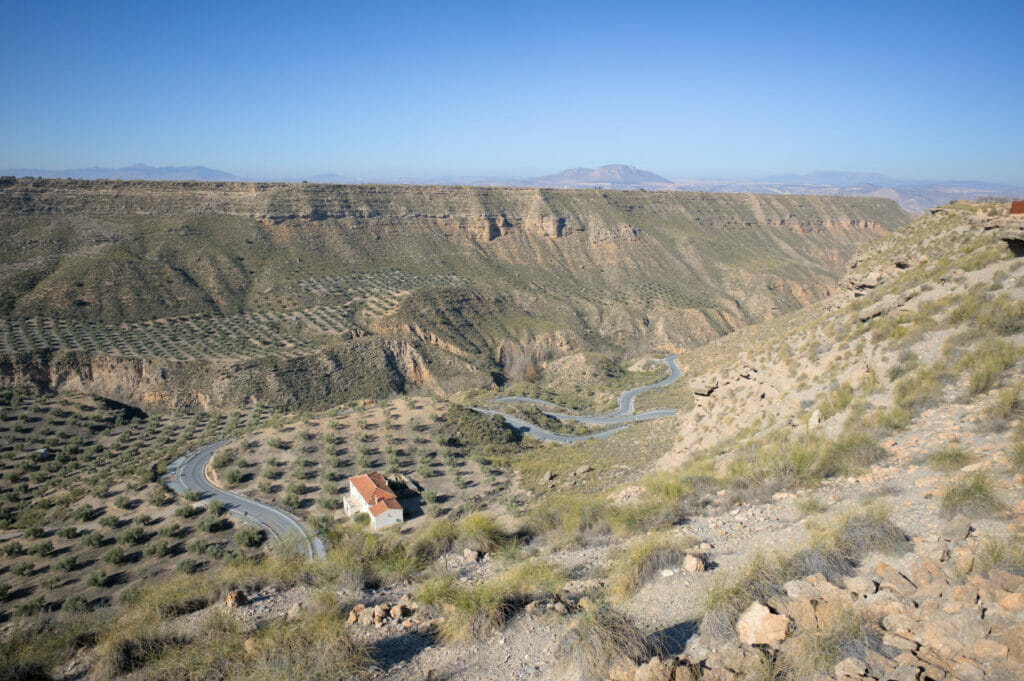
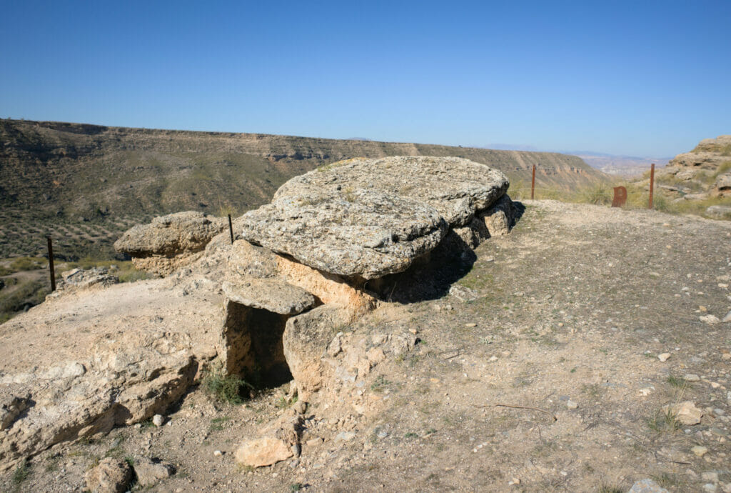
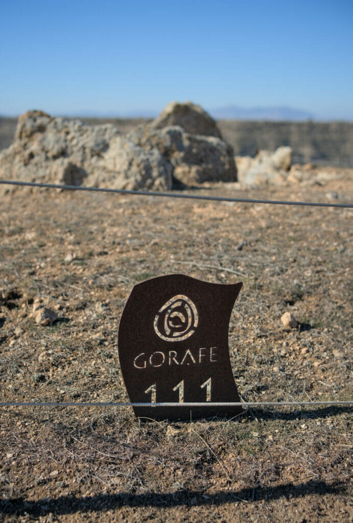
We still recommend you to go down at least 2 contours in the valley to the 2nd parking (by foot or by car) to see the dolmen 134 which is one of the biggest and best preserved of the Gorafe megalithic park. Here we share a small map to help you find your way:
If you want to learn more about the dolmens of the Gorafe megalithic park, you will also find an interpretation center in the village of Gorafe which opens in the afternoon. From the interpretation center, it is also possible to discover other dolmens located on the other side of the Gor valley, just above the village of Gorafe.
The incredible Gorafe desert
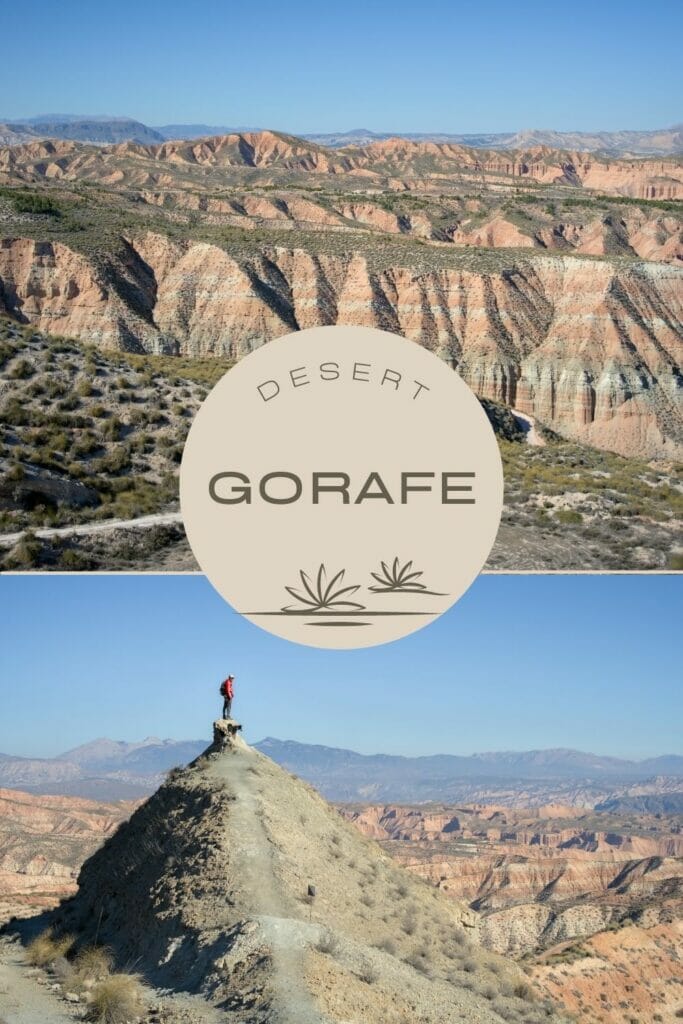
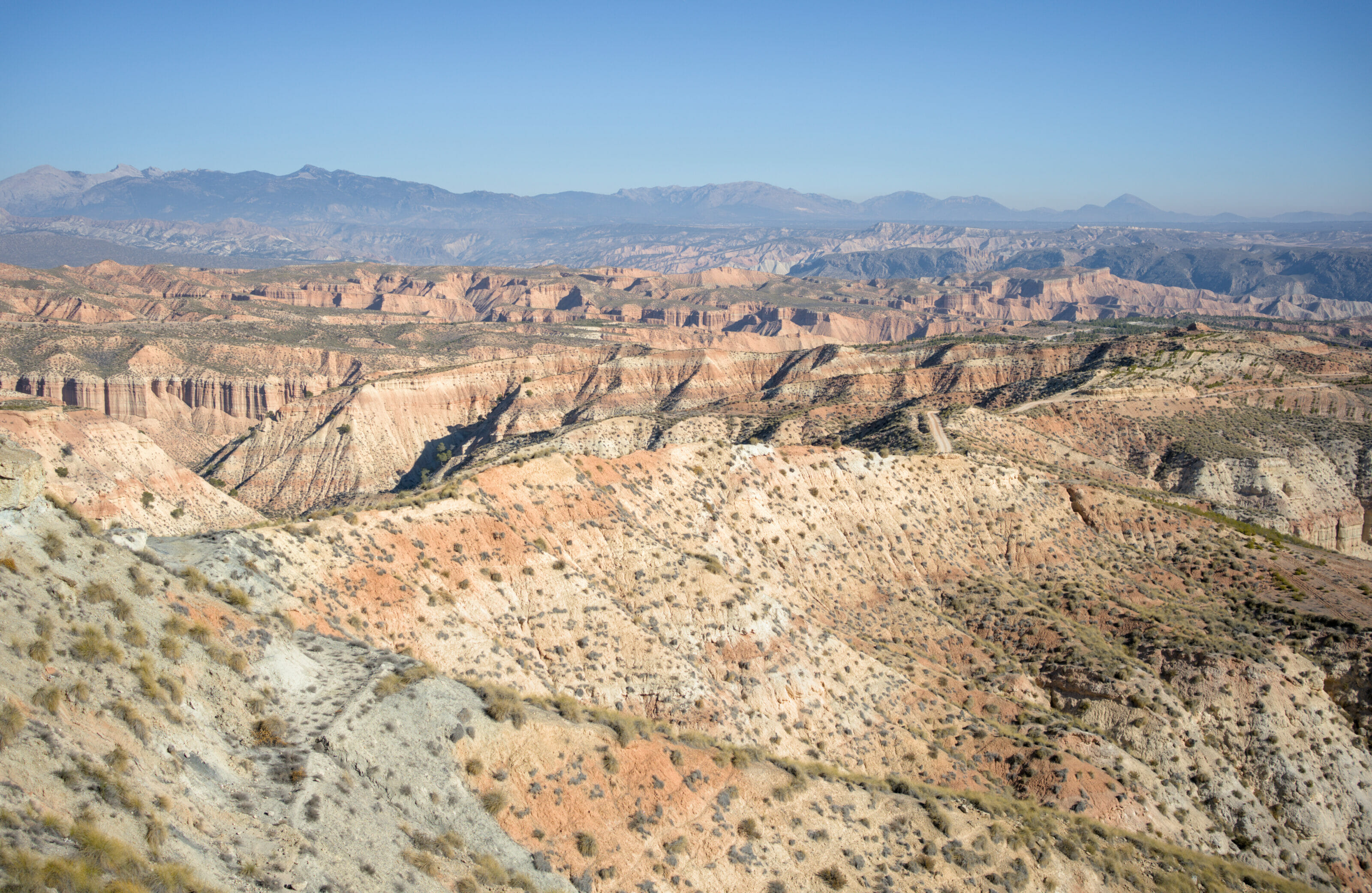
The trail that continues up the valley from the parking lot of the megalithic park is also the gateway to the incredible landscapes of the Gorafe Desert. And believe us when we say that it is REALLY worth exploring this part of the Granada Geopark! This is where you will find a spectacular part of the desert called "Los Coloraos" known for its purple canyons.
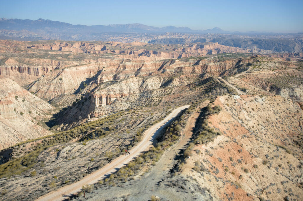
We had read on internet that a 4x4 was essential to explore the Gorafe desert ( that' s good, because Dahu is 4x4)… But honestly, the track which starts from the parking of the megalithic park and which overlooks at first all the Gor valley to plunge then in the desert, is in very good condition. We even crossed locals with Twingos who drove on this track around Los Coloraos lol. So in our opinion, if you do not have a too big vehicle, it is possible to drive to Los Coloraos in "round trip" on this track even without a 4x4 (see on the map of the hike below). But be careful with the weather… in dry conditions it's fine, but you should really avoid going there with a vehicle when it' s raining or you might get stuck in the canyon.
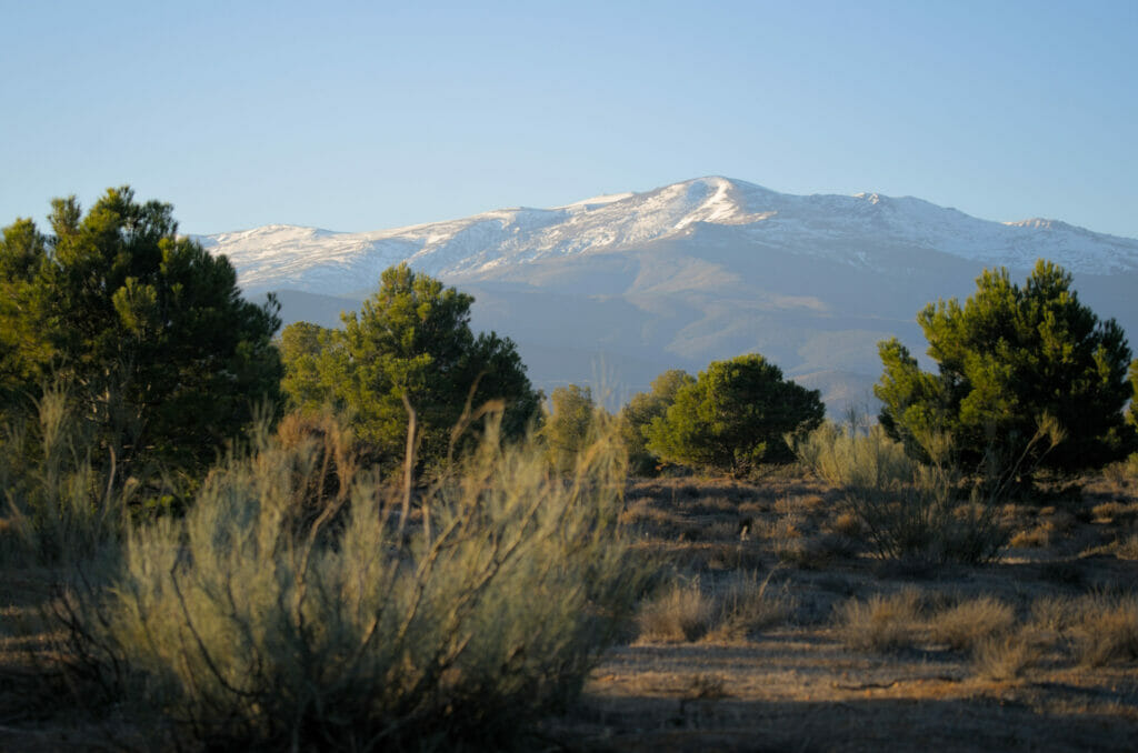
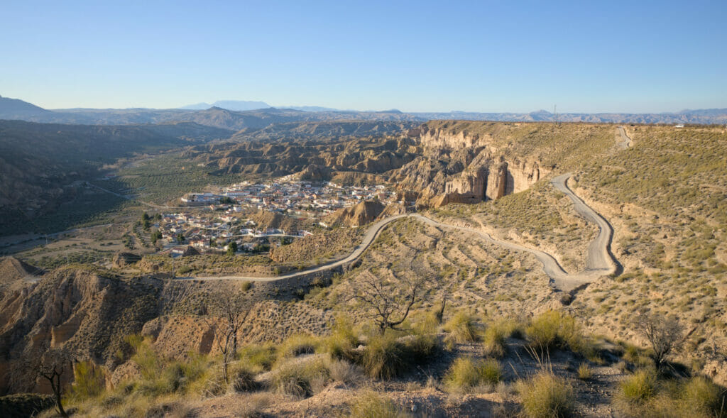
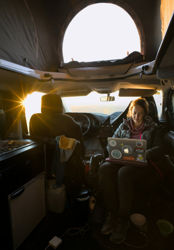
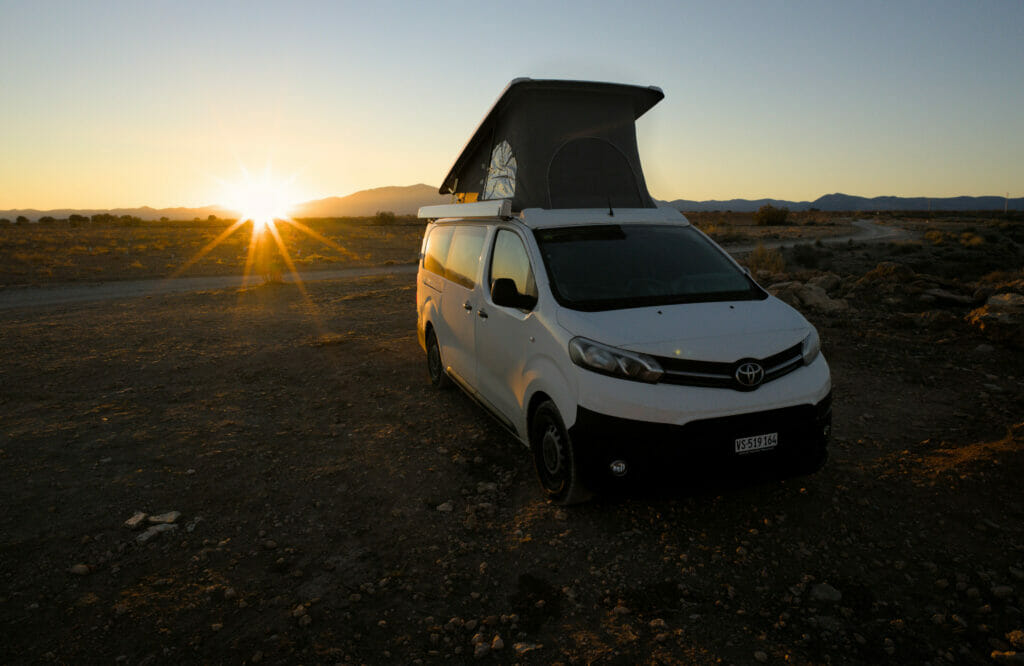
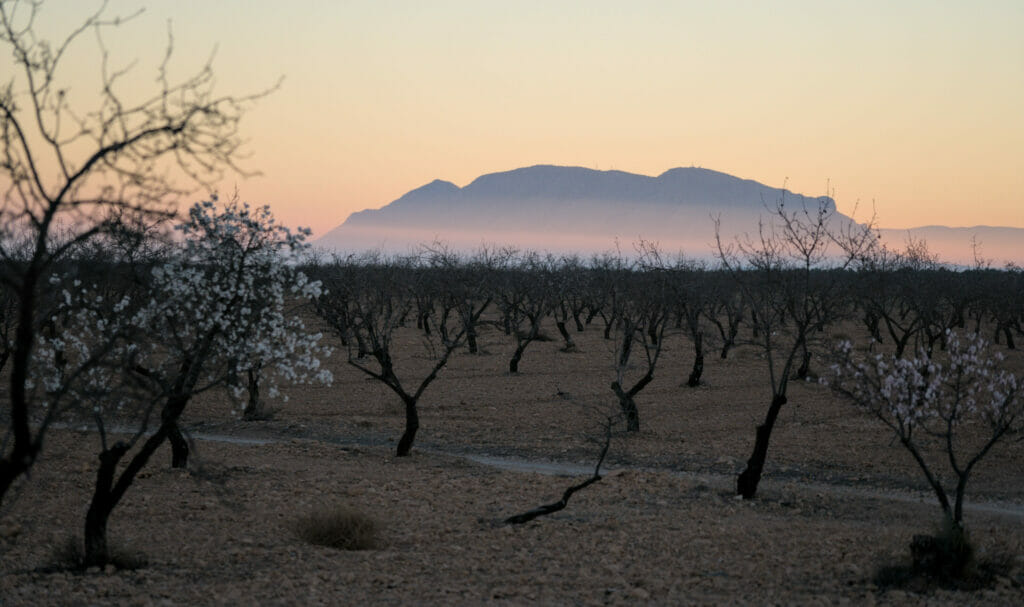
On our side, we preferred to park a little further along the track above the village of Gorafe to then explore the desert on foot ( no kidding 😉 ). We have to say that in the area of Guadix and Gorafe, we found incredible spots to sleep with the van. We took advantage of it because the reality of travelling with a van is that this kind of amazing spots in the middle of nature are in fact quite rare! So that evening, we could admire from the van the sun to set on the desert with the Sierra Nevada in background. Pure happiness!
Gorafe desert circle hike (Ruta del desierto de Gorafe PR-A 426)
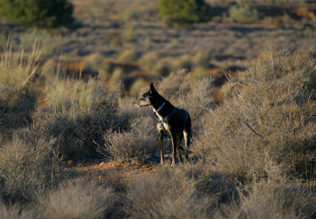
Small coincidence, we had parked our van not far from an information panel about the "Ruta del Desierto de Gorafe" (PR-A 426). This itinerary is in fact a loop of about 25 km (approximately 600m of d+-) which precisely goes until the mirador of Los Coloraos that we really wanted to discover. Guess what, we immediately thought that it would certainly be the best way for us to explore the Gorafe desert. So one morning we left Dahu to rest and we departed on foot with Winchy for a beautiful day in the desert on this route.
PS: remember to have the track with you in "offline" mode because the network is not very present on the course. For that, you can download the KML or GPX below for free (you just need to create a free AllTrails account to access the files). Then import the track in your hiking app or Maps.Me.
Note: This hike is very long and follows a track for its entire length. The first part of the track (up to the mirador No1 on the map) can be done with a vehicle in our opinion (car, van but no RV in our opinion) because the track is in good condition… On the other hand, the return trip can only be done with a 4x4 with a good ground clearance because the track is quite rough. If you don't feel like walking 25kms, the ideal is in fact to do this route by bike. Besides it seems to me that there are bikes to rent in the village of Gorafe.
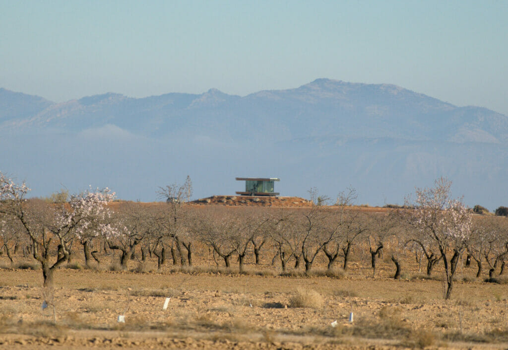
We set out early in the morning because we had counted the whole day to make this circuit. We choose to do it clockwise by beginning to walk along the Gor valley in the middle of the almond trees with a very beautiful morning light on the Sierra Nevada. On our right, we could see the Casa del Desierto, a self-sufficient glass house which even appeared in the Black Mirror TV show ( however the night is not cheap… but the experience must be incredible!).

After 2 kms, we arrive at a magnificent point of view which overhangs the desert and its badlands before the road plunges in the heart of these rocky formations. It is funny because from there we can see the track which continues as far as the eye can see in front of us… In short, we still have some way to go! (even if in such a place, it doesn't bother us especially to walk 25kms).
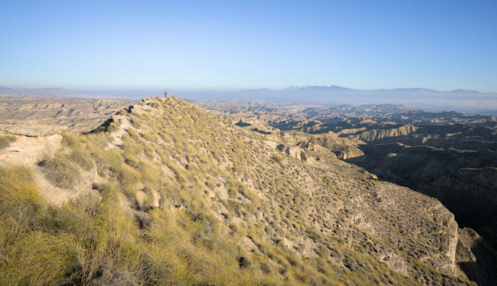
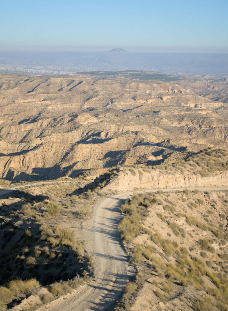
We keep walking on the track 6-7 kms through these incredible landscapes, especially with the beautiful lights of the morning. Little by little, the colors change and we guess that we get closer and closer to Los Coloraos. Finally, after a curve, we are there! We overhang the magnificent canyons of Los Coloraos and their orange and white lines. In front of us, we see the track which continues to go down towards the bottom of the canyons.
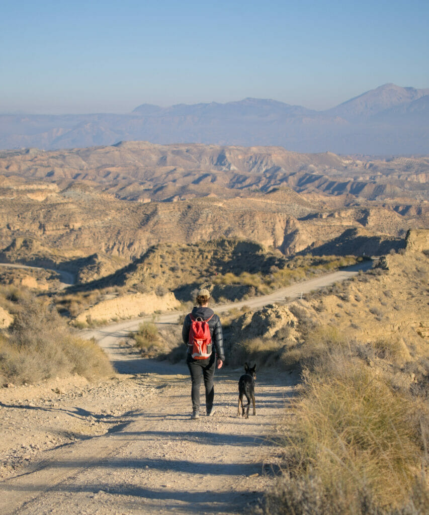
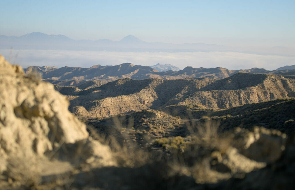
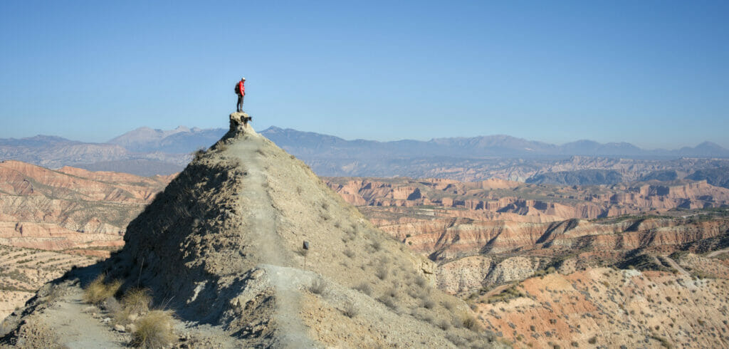
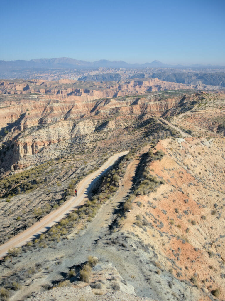
After a little more than 12 kms, we reach the Mirador de Los Coloraos where a sign tells us a little more about these impressive geological formations. We also decide to take a good break to eat because we are hardly in the middle of the hike. If you decide to come by car, it is also there that we recommend you to turn back because the track then is in much worse state!
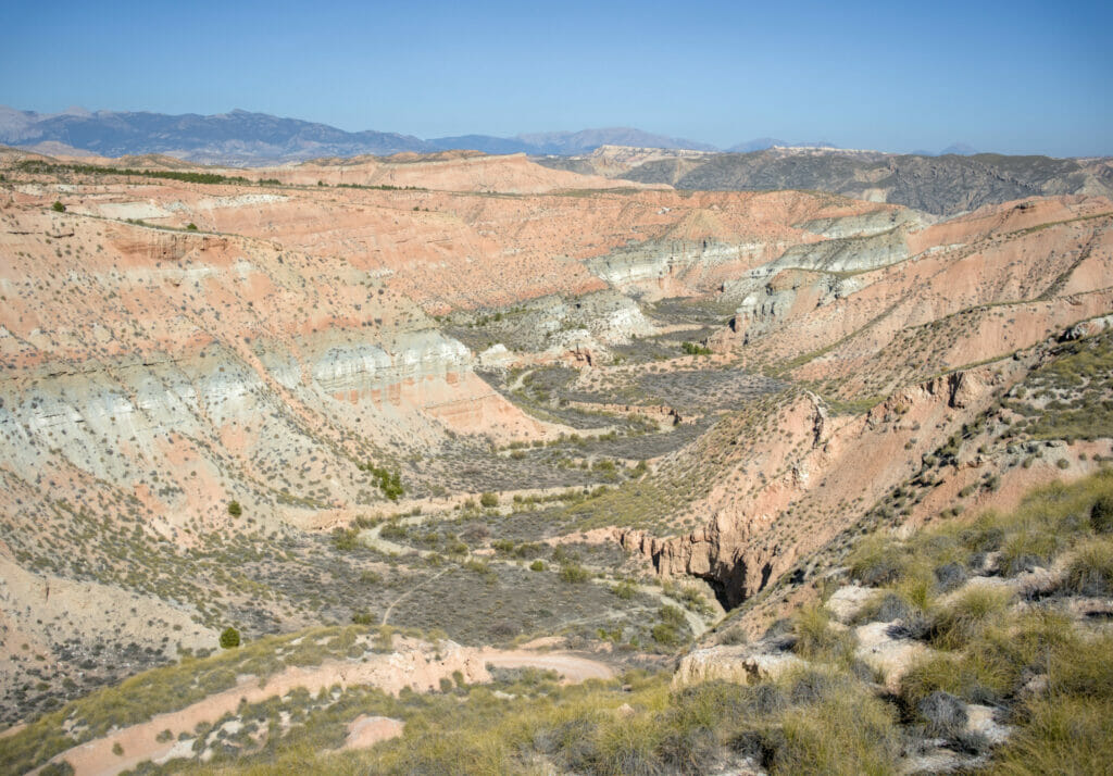
Then we follow the track that goes down to the right until the bottom of the canyon to return through of the Barranco de Los Anchurones. All around us we can admire these kinds of columns with purple colors (fairy chimneys in the making) formed by thousands of years of torrential rains erosion.
After a little more than a kilometer at the bottom of the canyon, we hike up to the left on a winding track that offers us a spectacular panorama on the Barranco de Los Anchurones from the top. Then, a little further on, we reach another viewpoint: the Cerro de La Bandera, which offers us a spectacular view of the colored lines / layers around us.
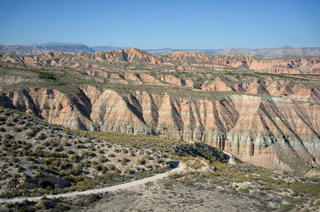
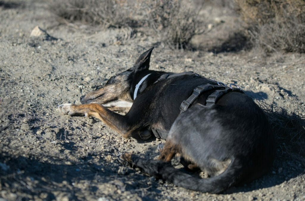
Well we have to say that we all started to get a little tired! We make a break on the edge of the track… Winchy is very tired and doesn't wait to lie down and take a nap. We pass in front of a cave which looks abandoned (even if there is a sign written "Hotel Zorro" on the door lol) to then keep on going up to reach the last mirador of the day: the Barranco de la Rambla del Pollo.
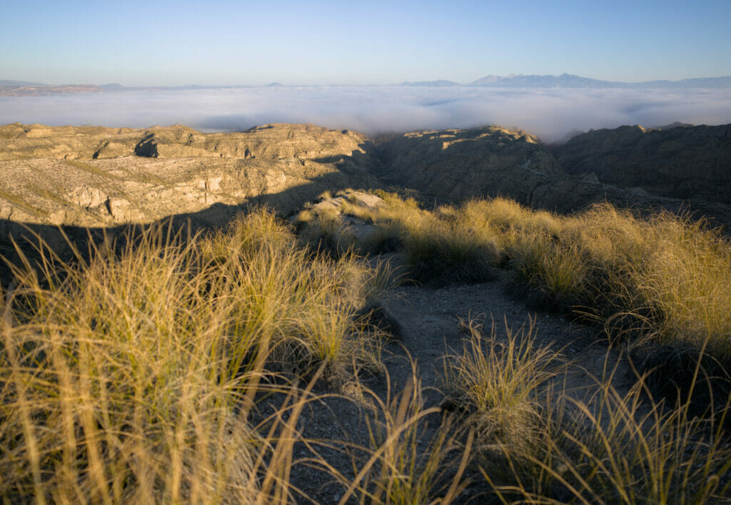
After a last climb, we meet again the plateau with the Casa del desierto on our right. Another last kilometer on the flat and we finally reach the van where a well deserved cold beer awaits us for the sunset.
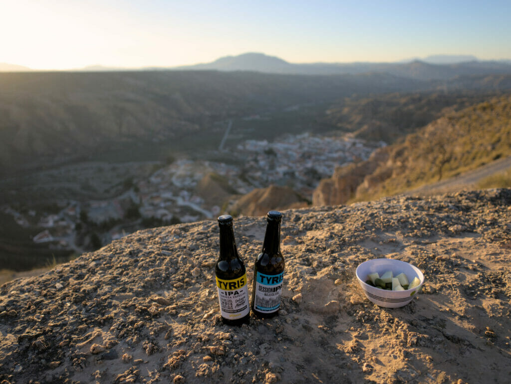
Map of the things we saw in the Guadix region
To help you find your way around, you will find most of the points of interest we have shared with you in this post on the map below:
As I said in the post, you will need a vehicle to discover the Guadix region and the Gorafe desert. And frankly we would recommend you to rent a "Crossover" type vehicle with a higher ground clearance to drive on these tracks with more peace of mind. As usual, we recommend you to take a look at the Rentalcars website to rent a vehicle for your trip.
We also find that this region lends itself magnificently to travel with a van (avoid vehicles that are too big to drive on these tracks). If you are interested in trying this type of travel, we have also written a guide to help you rent a van.
Finally, if you have less time and don't necessarily want to rent a vehicle to discover these places, you can also take an organized one-day tour with a 4x4 Jeep where you will discover the megalithic park of Gorafe as well as the magnificent panorama of Los Coloraos in the Gorafe desert.
That's it for this post about our discoveries in the region of Guadix and the Gorafe desert. We have to say that we would have stayed longer in the region because there must be a lot of other nice spots to discover (even if we stayed 6 days already)! But as we had a meeting with friends a few days later, we could not spend more time than that either.
In any case, we hope that this post has inspired you to stop in the region of Guadix… Who knows why, we found that there were very few people here compared to the coast. However, as we said, the spectacular landscapes of this region were clearly our most favorite in Andalusia.
Pin it on Pinterest
Note: if you go through one of our links to rent your car or take a trip in the area, we will get a small commission (and you won’t pay a cent more). By doing this, you support us in creating free and independent guides like this one. Thank you for your support!

Always excited when I see an email from you with another wonderful tour of a fascinating area! These badlands are similar in many ways to the badlands in South Dakota, USA. We have visited that area and it not only captivated us, it made us want to stay longer! However, there are no cave dwellers! What was the wildlife in the one picture? There are many deer in the South Dakota badlands, as well as some buffalo. Thank you for another geography lesson and fabulous pictures. Stay safe and continue to enjoy your travels and hikes! (And give Winchy a good petting for me!)
Hi Jan,
Really happy to read that you enjoy our posts and emails 🙂 . We haven’t travelled much in the US but hopefully one day we can maybe ship our van (our buy a second hand one in the US) to discover all these incredible places you have in your country! The wildlife you saw in that picture where spanish Ibex (the call them “Cabras de montanas”)… maybe there are deer as well but certainly not buffalo 😉 . Wish you all the same and of course will give Winchy a good petting for you 🙂 !