When we say Brittany, we often think of seascapes with cliffs, turquoise water and lighthouses… Of course this is part of Brittany and we have already talked about it in our last articles like for example the one dedicated to the pink granite coast, the south Finistère or the Crozon peninsula but believe us, Brittany is so much more than that! Central Brittany is full of treasures, tales and legends but also incredible landscapes far from the crowds.
In all we have spent nearly 4 months in Brittany since 2017 and on each of our visits, Central Brittany is obviously always on our list!
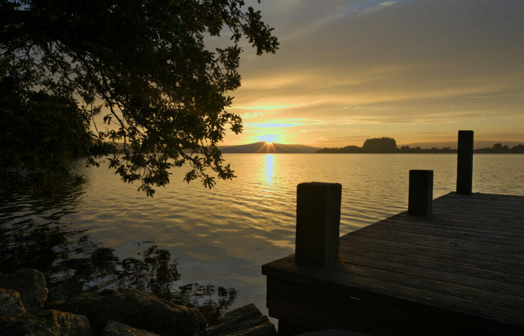
Small overview of our favorites.
Kreiz Breizh vs Centre Bretagne - Definition
Before starting this article I just wanted to make a little "geographical" parenthesis. The terms "Centre Bretagne" and "Kreiz Breizh" are often used to describe the part of Brittany that is not "By the sea". In reality, the Kreiz Breizh is much smaller than that. It is in fact a community of municipalities of the Côtes d'Armor which gathers 23 localities around the small town of Rostrenen. The term "Centre Bretagne" is more open to interpretation and on our side we do not make any reference to a department in particular, but to a purely geographical positioning and to the idea that we move away from the Breton coasts to enter the land.
Les Monts d'Arrée
To structure this article we decided to take you (roughly speaking) from west to east, starting with the most mountainous region of Brittany; I named the Monts d'Arrée (and to some extent the Black Mountains)
On top of Menez Hom - Viewpoint on the Monts d'Arrée
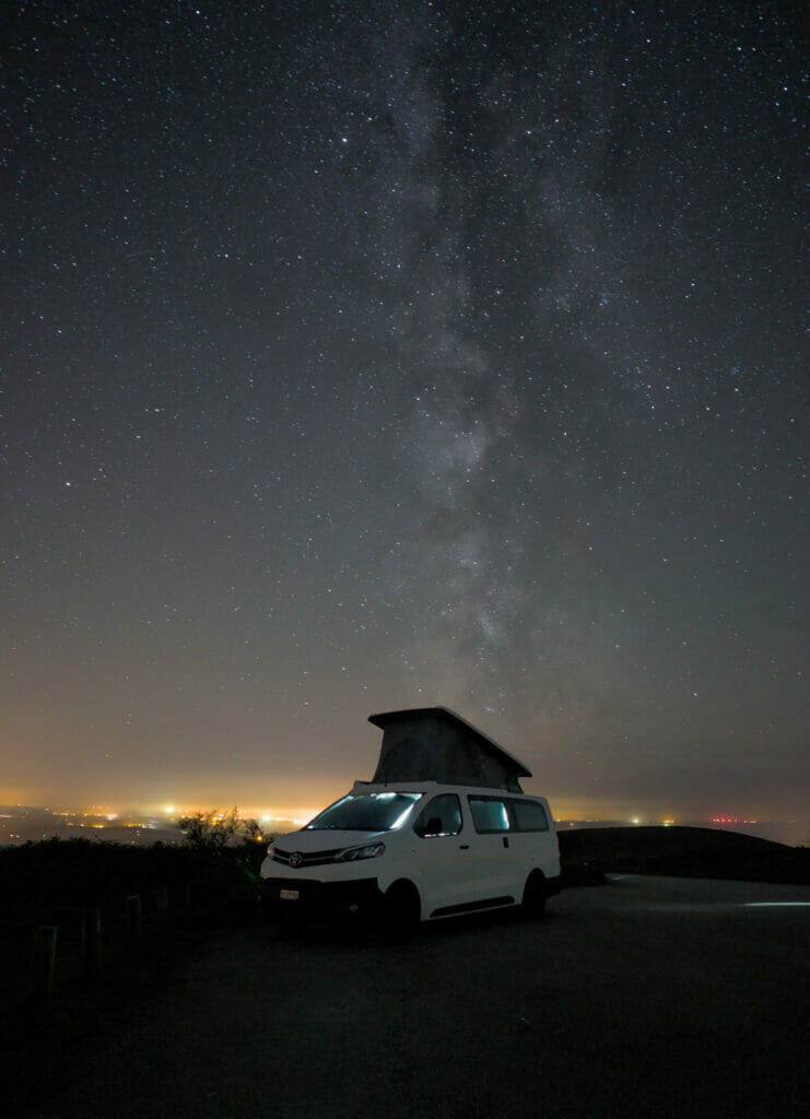
Let's start with a place which is not strictly speaking in the Monts d'Arrée, but which offers on the other hand a breathtaking point of view on this region. I named the Menez Hom. We stopped there one night while going up the coast and the least we can say is that the panorama from there is well worth the drive. 🙂
In fact the Menez Hom is not part of the Monts d'Arrée, but it is more a continuity of the chain of the Black Mountains. With its 329m high summit, it has the advantage of being totally isolated and close to the coast and to Crozon. From the top, you have a 360° view on the Monts d'Arrée, the bay of Douarnenez, the peninsula of Crozon and the harbor of Brest.
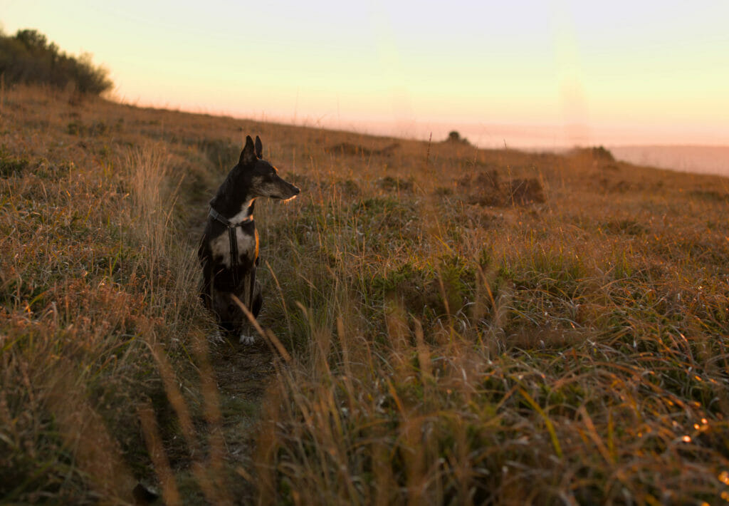
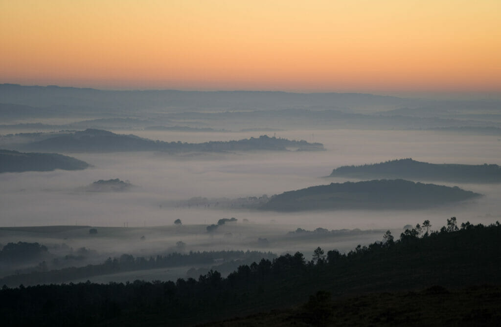
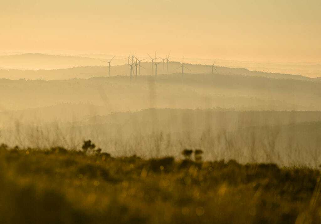
The Monts d'Arrée: the Breton mountain range
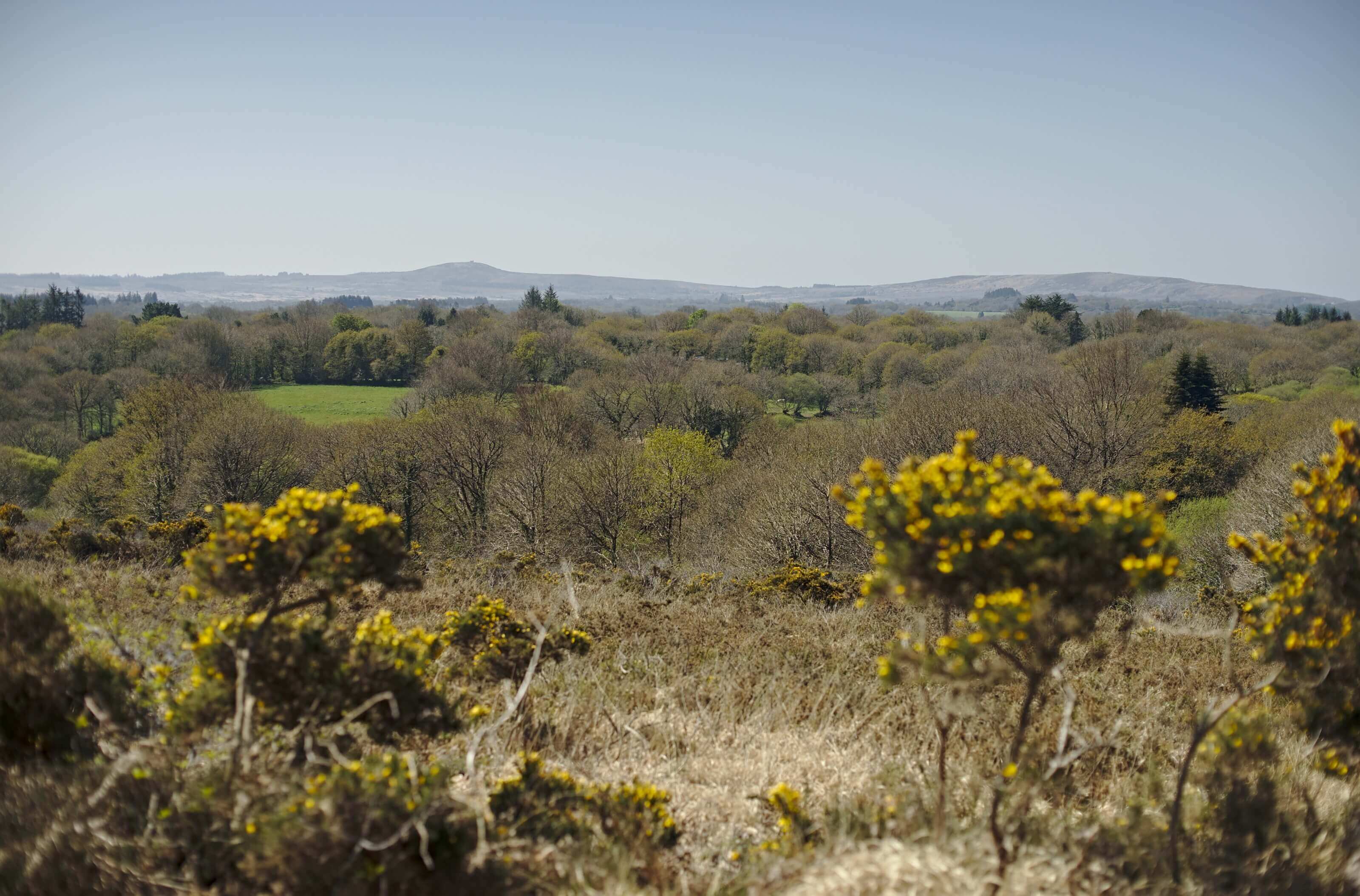
The Monts d'Arrée is keep coming back to! The first time was for a hike and the second time was because we received a kind invitation from Christophe to spend a few days with him and his family. The last time was in 2021, as part of the writing of our guide "Randos Bière en Bretagne".
We will get back on these few days at Christophe's place where we had the opportunity to make our first crepes on a real billig and how we ended up attending a Breton tales and legends festival. But before that, we'll tell you about some of the hikes we did in the area!
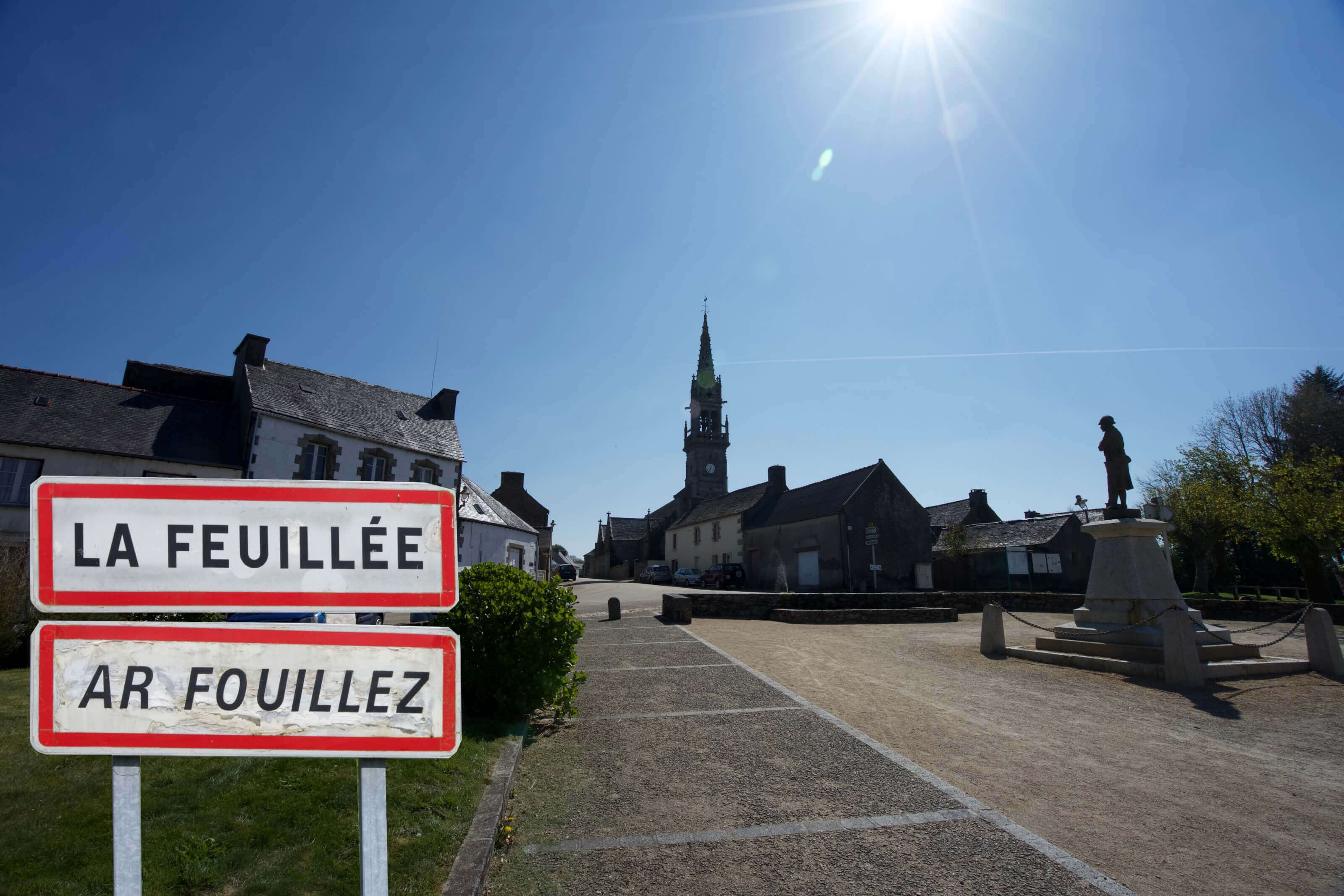
We had heard about Monts d'Arrée from several Bretons… But hey, this is officially the "mountain area" in Brittany! And since we like to hike on the viewpoints to admire the landscapes, we did not hesitate one second and came here to see if these little hills could make us tired. Our first escapade in the region led us to the small village of La Feuillée where we left our car for the day in order to explore a little this region.
The Monts d'Arrée region is a drastic change of landscape compared to the coast! Sometimes one could almost believe he is in Ireland with the rocks that come out of the Landes. Well ok, we admit we have never been in Ireland, but it's exactly like that we imagine it 😉

One of the reasons we've come back to Brittany so many times is also our love for beautiful hikes and craft beer.
In 2022, we published a new book called "Randos Bière en Bretagne", a hiking guide that offers 40 itineraries through Brittany and with the particularity of always ending with a local, craft beer.
Thanks to this guide you will be able to discover the rich diversity of Brittany's landscapes but also of its brewing scene.
The book is not translated into English (only available in French), but if you speak a little French, it may give you some ideas!
You can find the book in most bookshops in Brittany as well as on the following websites
Hiking in the Monts d'Arrée - Roc'h an Teuz
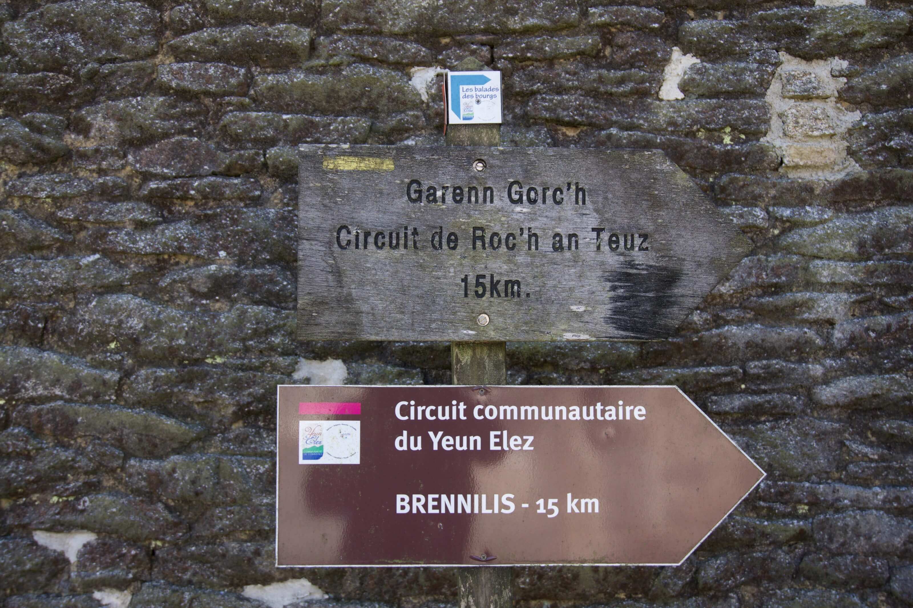
Our first hike led us to the small village of La Feuillée. It is here that we left our car in order to start the Roc'h an Teuz trail. It is a loop of about 15km which makes a nice tour in these landscapes of moors and "mountains".
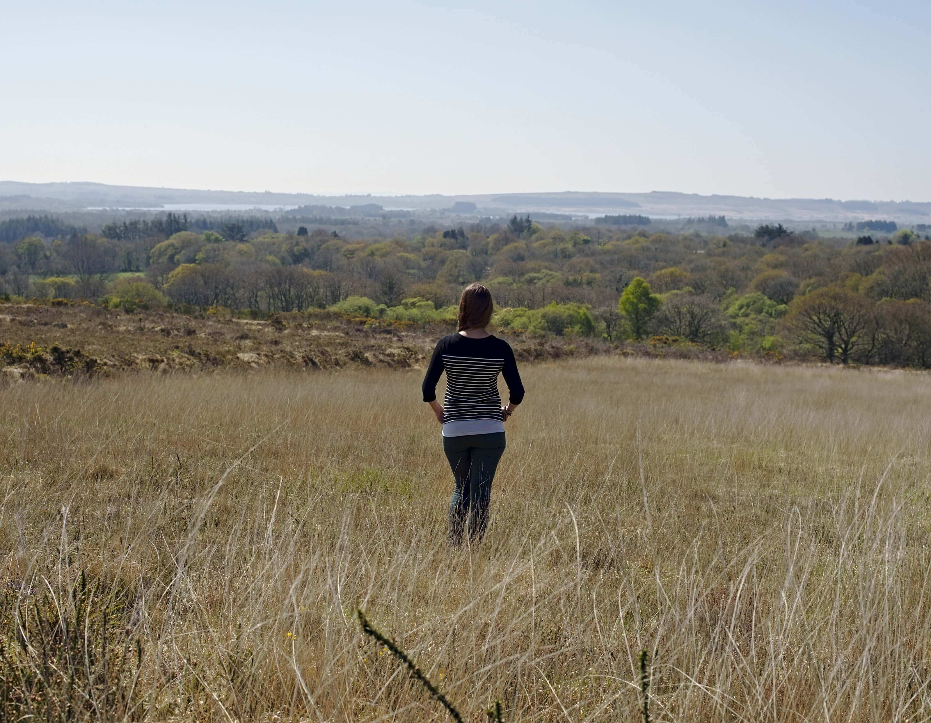
Beyond the fact that we got lamentably lost on the last part of the hike and that we found ourselves walking in the forest without really following any path, we really enjoyed this hike! That being said, the path is really well indicated, we simply talked too much and missed all the markings.
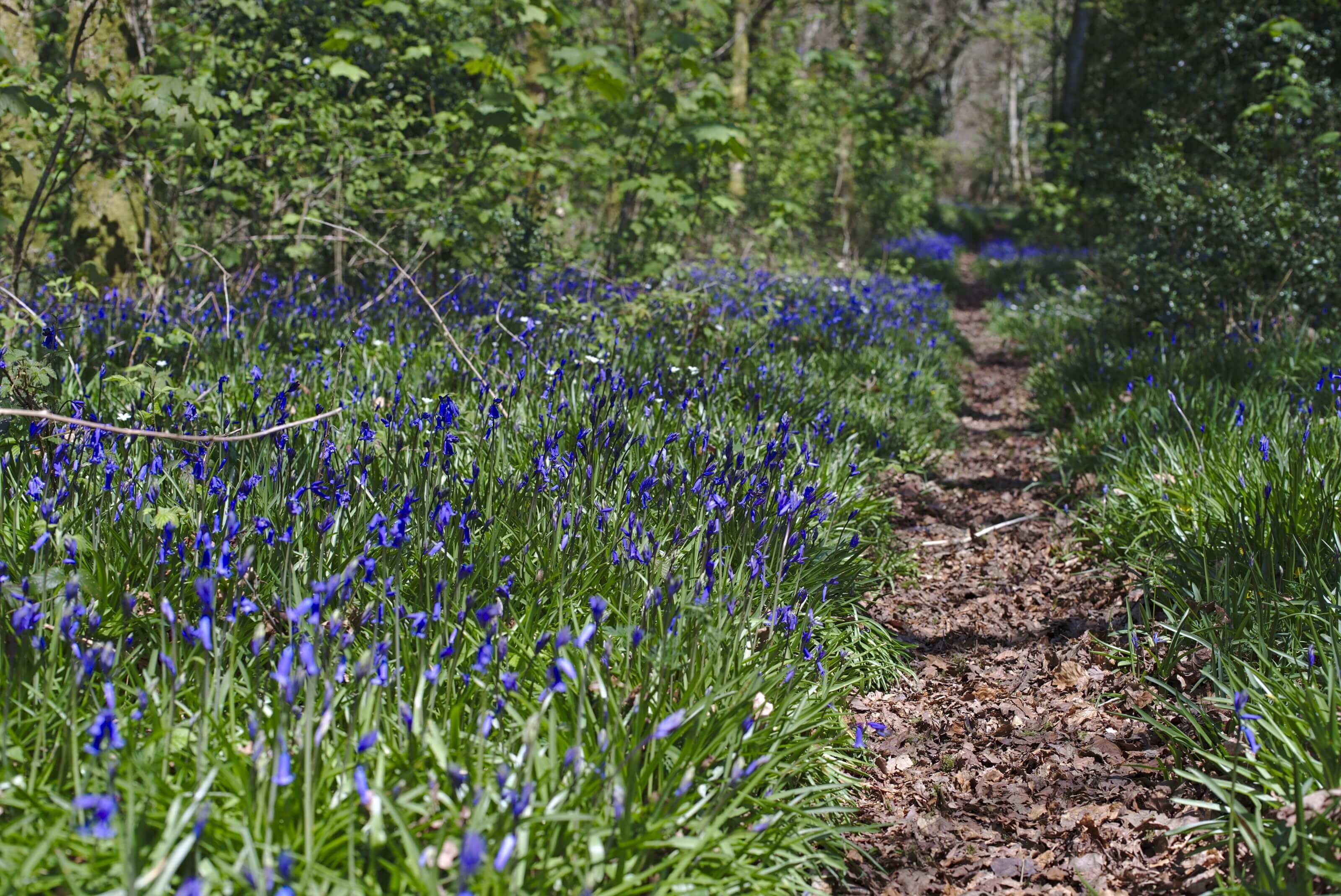
What we liked most was probably the magnificent contrast between the dryness of the moors and the many colorful spring flowers that were popping up along the trail.
Infos Utiles:
Start and Finish: La Feuillée (free parking in the village)
Distance: About 15km
Duration: About 3h30 to complete the loop
Difficulty: Easy
Hiking map:
You can download the trail of our hike to have it with you on your phone/connected watch. To do this, simply create an account (free) on AllTrails and download the map in the desired format. Download the route on AllTrailsPath in the peat bog and ascent to the Mont Saint Michel
2 weeks later we were back in the region and Benoit went with Christophe, our great host for a few days, for a little hike starting from the village of Botmeur. The objective of this little hike was to reach the Mont Saint Michel! Let's be clear right away, I'm not talking about the Mont Saint Michel which is located between Normandy and Brittany but the one in the Monts d'Arrée. 😉
In the topographic standards of the region this summit tends to be seen as "the mountain", but being Swiss we will simply call it the "cute little hill which dominates the Monts d'Arrée" 😉
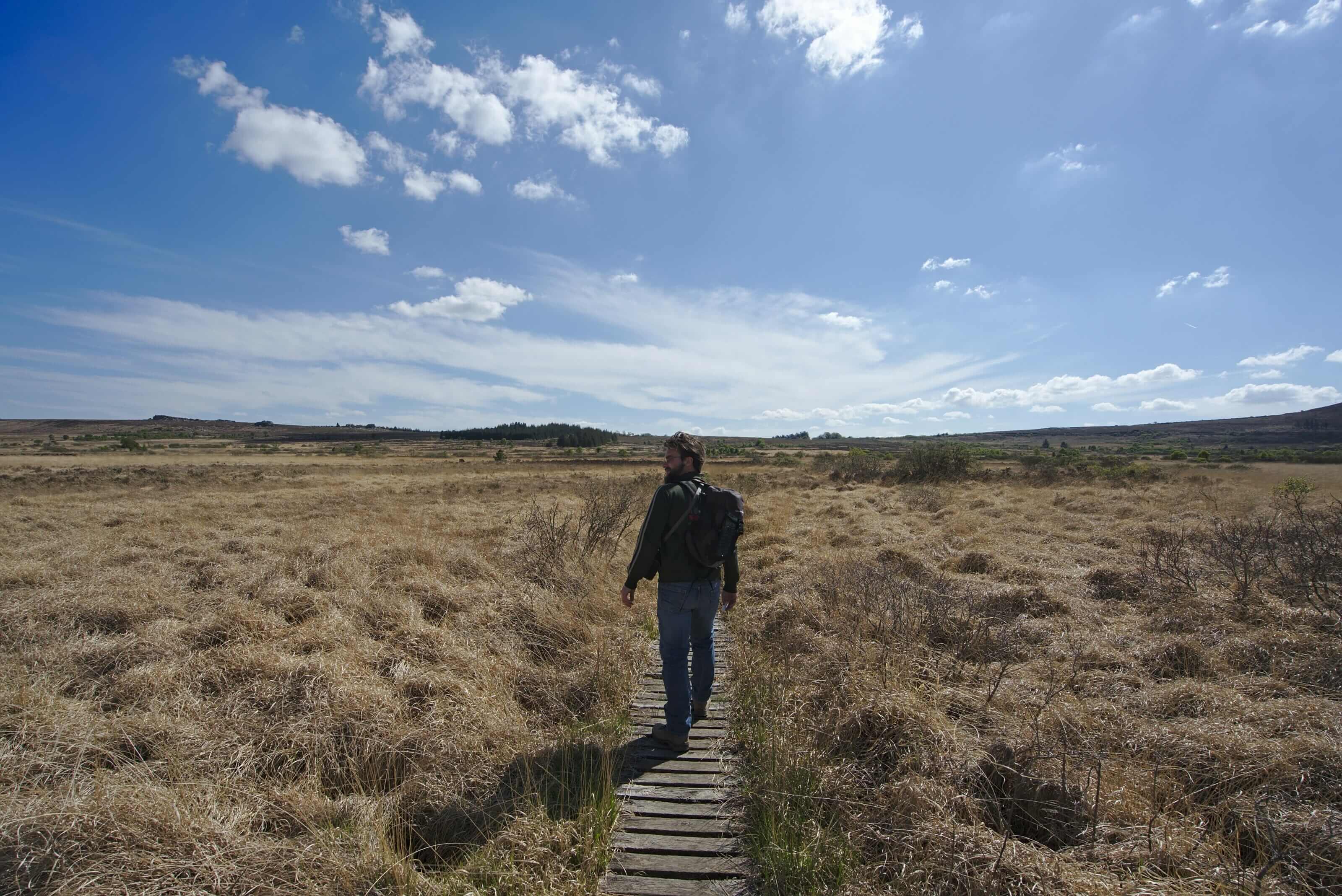
The particularity of this walk is that it crosses the Marsh of Saint Michel also called "Yeun Elez" (which literally translates as the swamps of hell!). Don't worry, there is only hell in name here; this 1500 hectares peat bog crossed by small wooden pontoons would be rather a small paradise actually.
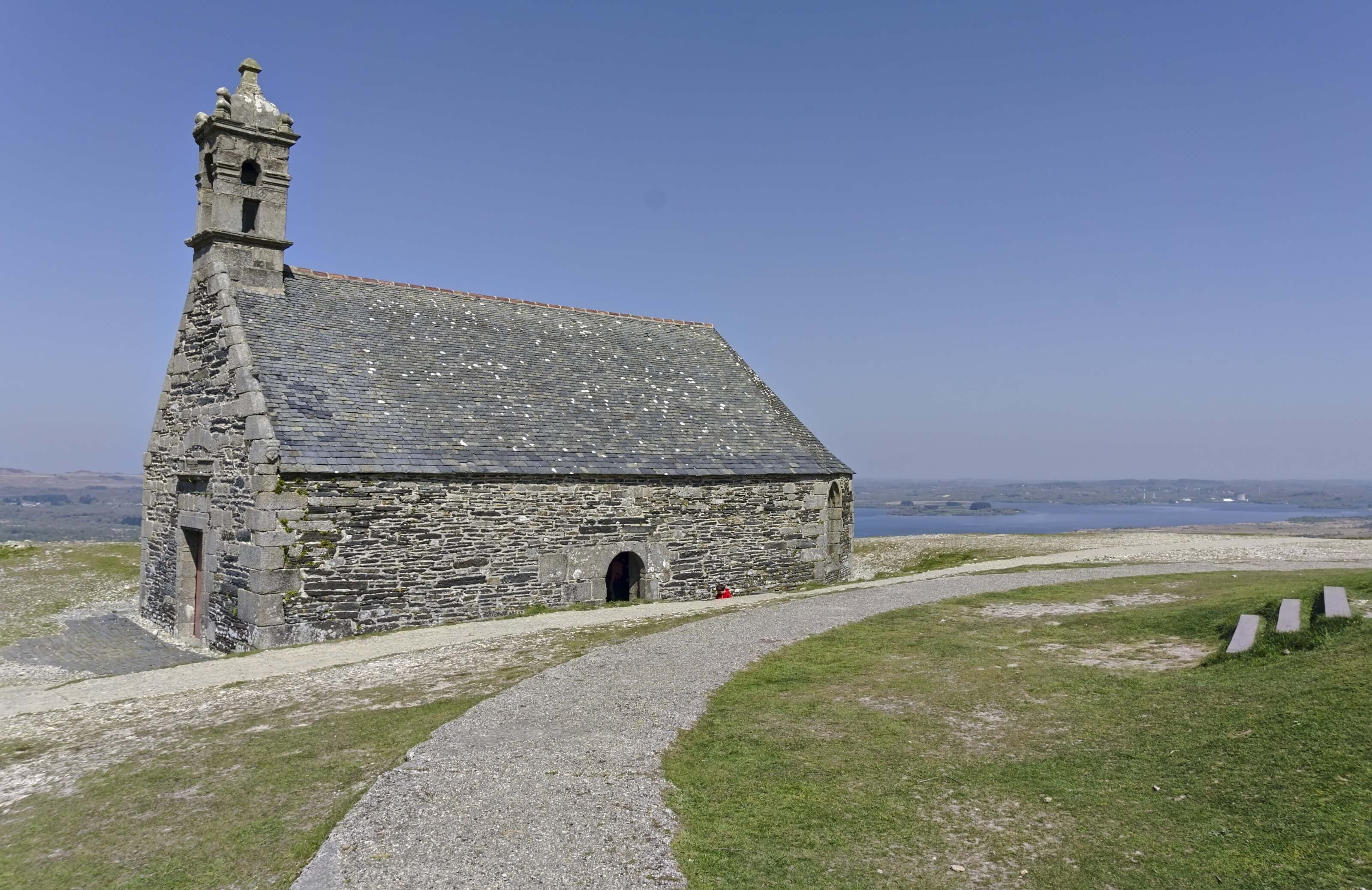
Once we climbed the few hundred meters of difference in altitude that separates the marsh from the top of the Mont Saint Michel, we have a view on the lake of Brennillis and the landscapes of the Monts d'Arrée.
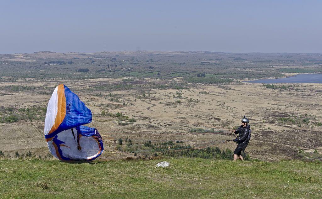
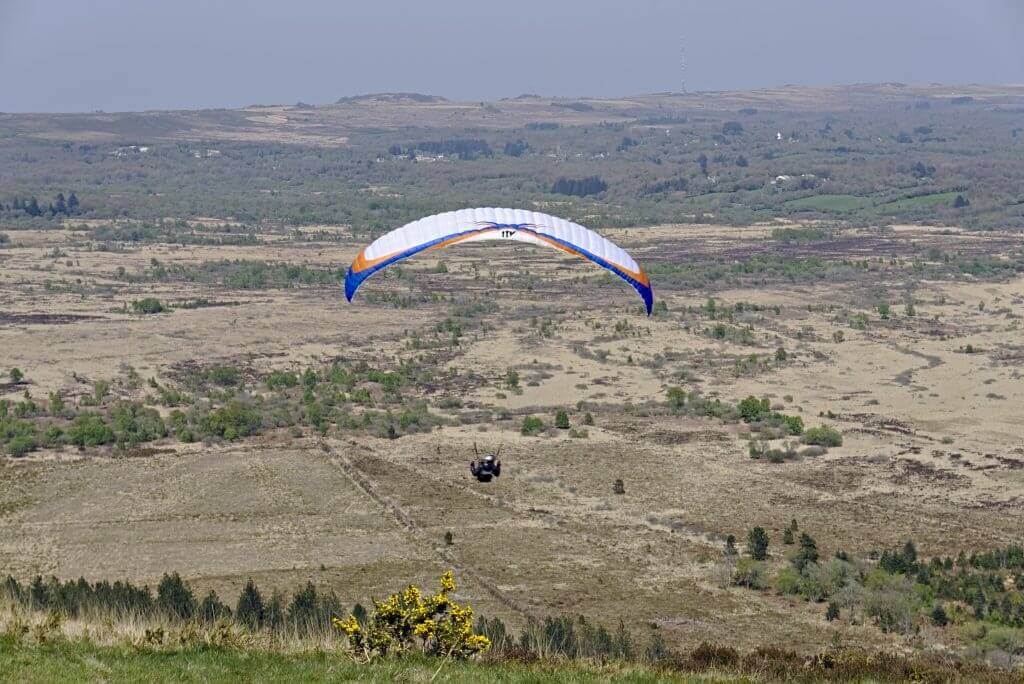
Fun fact: When we came here the first time we met a lot of paragliders who came to take off from the summit. So we didn't really understand if it was the wind's fault that day, the paragliders we saw, or if it's just like that in the area but the paragliders that took off were seriously struggling to stay in the air for more than a few seconds… Takeoff at the top, 3 turns and bam, landing at the bottom of the hill. Personally, I thought this whole thing did not seem very fun when I saw them walking up with all their equipment for 30 minutes all this to get a 15 seconds flight, and this several times… But go figure, maybe we just don't understand it 😉
Infos Utiles
Start: Botmeur
Finish: Menez Mikael (option to get back to Botmeur if you decide to do a loop)
Distance: about 7km one way
Difficulty: easy
Hiking map:
Download the route on AllTrailsThe Roc'h Ruz - highest peak in Brittany
In 2021 we came back in the region and this time it was in company of our friends Géraldine and Nico that we came back to hike in the area. In order to be able to show off a bit, we jokingly said that we were going to go to "the top of Brittany". Some research on Google later and we had the Roc'h Ruz and its 385m of altitude on our list. It is possible to park not far. But just to say that we deserved this summit we left from a little further and we parked at the point of view which is under the rock Trevazel. We went up on this first summit (which turns out to culminate in 384m, that is to say 1 meter less than the Roc'h Ruz haha). Our beautiful 3 hours hike thus allowed us to go up on the two highest Breton summits.
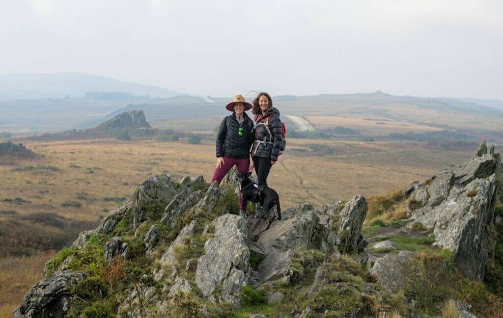
Note: No need to worry about the altitude difference and vertigo. We love Brittany and the Bretons, but their hills are not yet ready to scare us 😉
Huelgoat - The enchanted forest
Located in the regional park of Armorique, the forest of Huelgoat is really a must-see in Brittany if you want our humble opinion! We had totally "missed" it during our first 2 visits and we had to wait until 2021 to remedy this great lack 😉 A bit like Broceliande, Huelgoat is a land of tales and legends… And it is clear that when we see the landscapes covered with moss and lichen and the numerous rocky chaos, we cannot help saying to ourselves that if there are indeed fairies, korrigans and goblins in Brittany, then it is inevitably here that they must hide!
You will find our complete hiking itinerary suggestion in our new book to be published (Randos bière en Bretagne) but in the meantime, it is impossible not to present you some of the unmissable of the region.
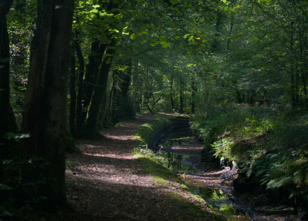
Le Canal d'argent: This small canal was built in the 18th century and was used to power the mine which is located a few kilometers from the center of Huelgoat. Today, the banks of the canal have been redesigned as a hiking trail and allow you to leave the town hall of Huelgoat to reach the site of the old mine. An easy walk (it's all flat) in a green paradise.
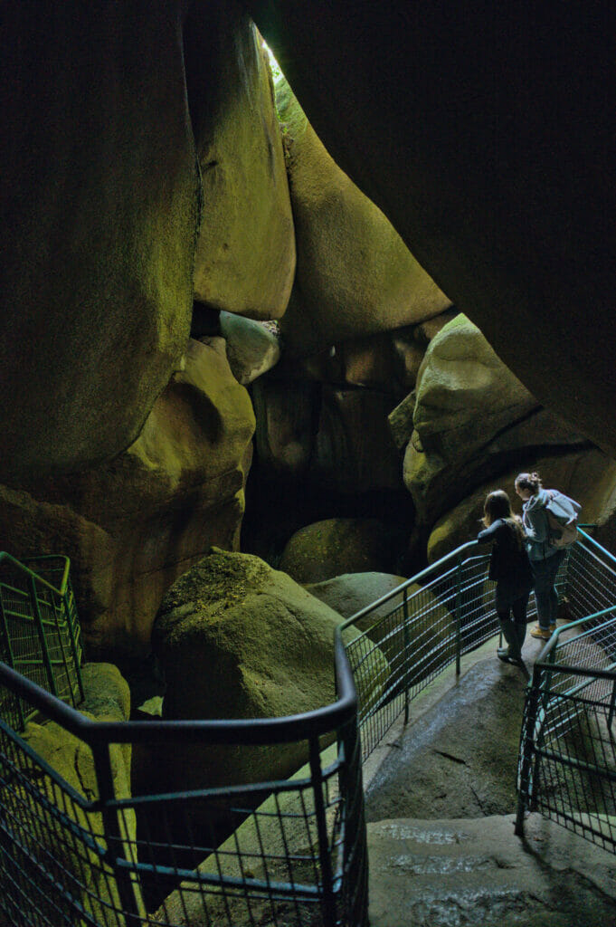
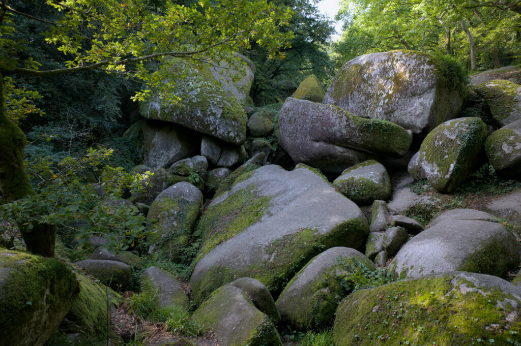
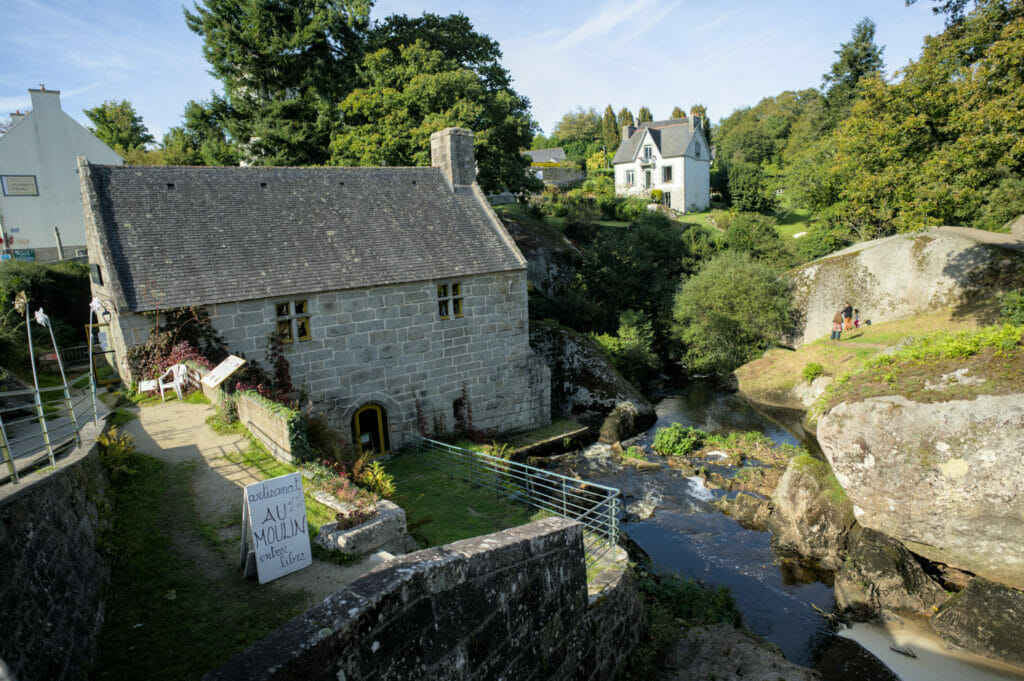
La grotte du Diable, le ménage de la vierge et le moulin du Chaos : These 3 places can easily be visited starting from the lake of Huelgoat. The path (marked out) which weaves its way between the rocks is simply superb! Be careful though, it is probably the most crowded place of the region, so it is better to avoid the busy days. We were there in October (during the week) and it was already quite busy between the rocks. 😉
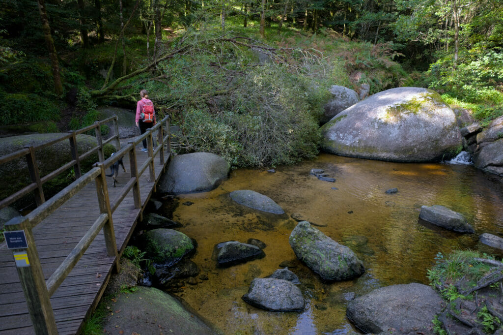
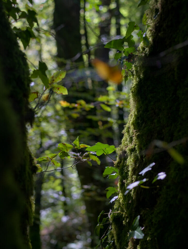
Follow the silver river by the purple path and go to the fairy pond: This part is just sublime!!! It's funny, because this section reminded us furiously of the wild landscapes of Galicia. There is a "je ne sais quoi" in the atmosphere of this place that totally enchanted us.
If you come to visit the region we advise you to go to the tourist office in the center of Huelgoat to get a small map. There are many different routes that can be taken depending on your desires and the distance you are willing to hike. 😉
The Kreizh Breizh region
Come on, this time we arrive in the "official" region of Kreiz Breizh, that is to say the surroundings of Rostrenen. Our friends Gégé and Nico lived several years in Plougernével and we visited them several times and took the opportunity to go around the area and see the famous lake of Guerlédan.
Gouarech and the Abbey of Bon-Repos
On the way to the lake of Guerlédan we made a few small stops on the advice of our super host Géraldine. The first one was the small village of Gouarech.
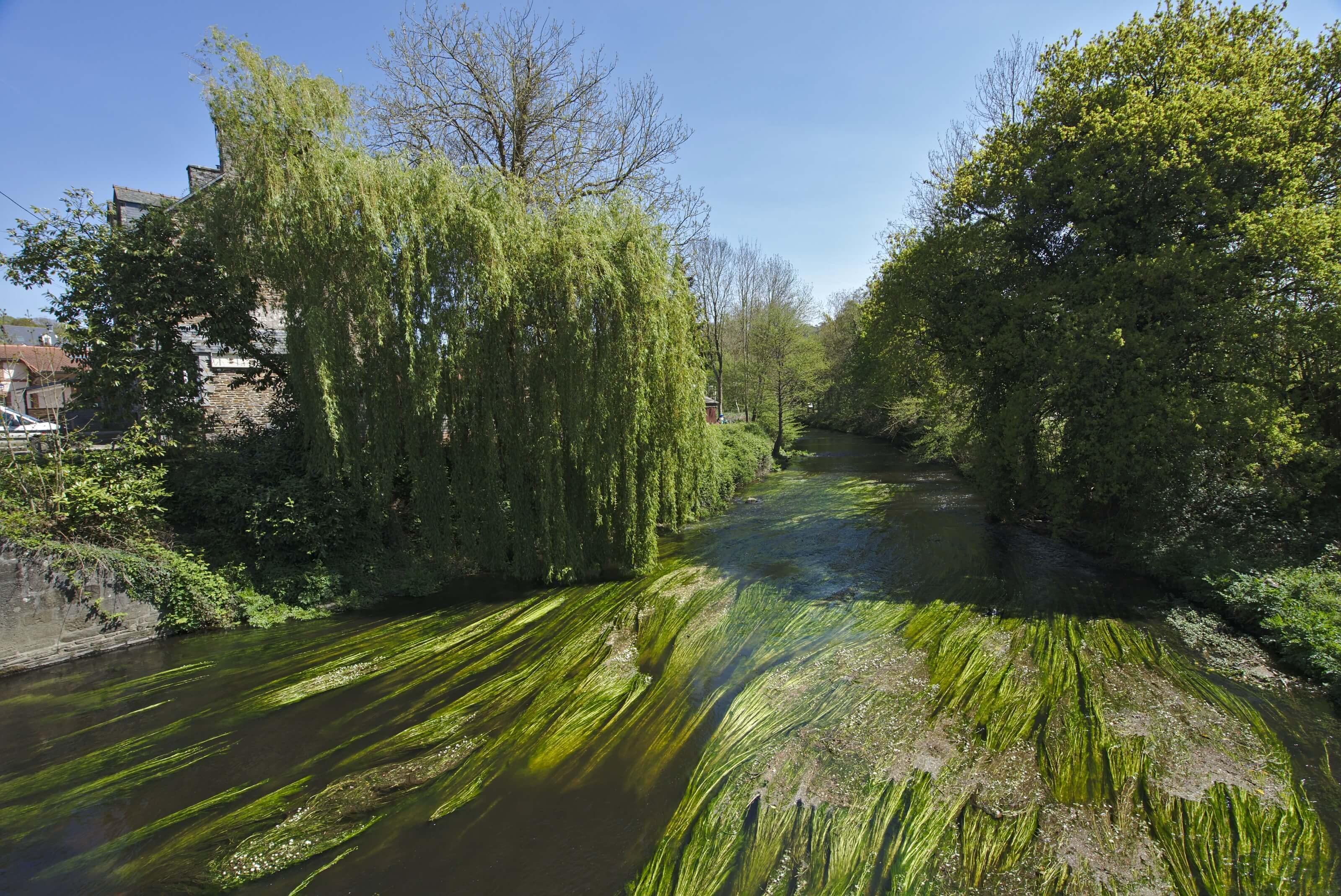
Not necessarily known as a tourist spot (we looked in vain for an open café) but it is really a a nice stop which is 100% local and authentic. Gouarech is a cute little village where it's nice to walk along the river and in the small paved streets.
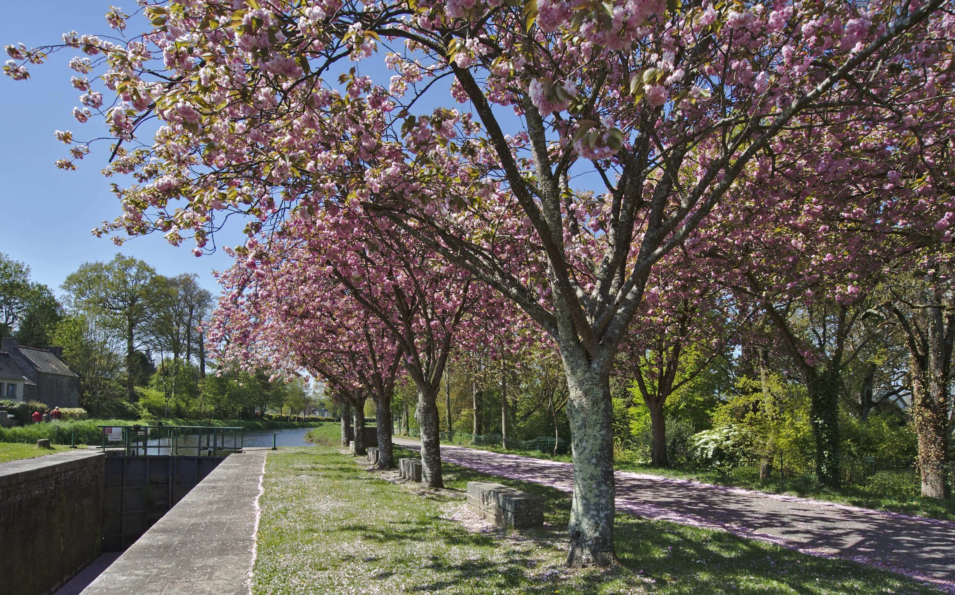
Visit of the Bon-Repos Abbey
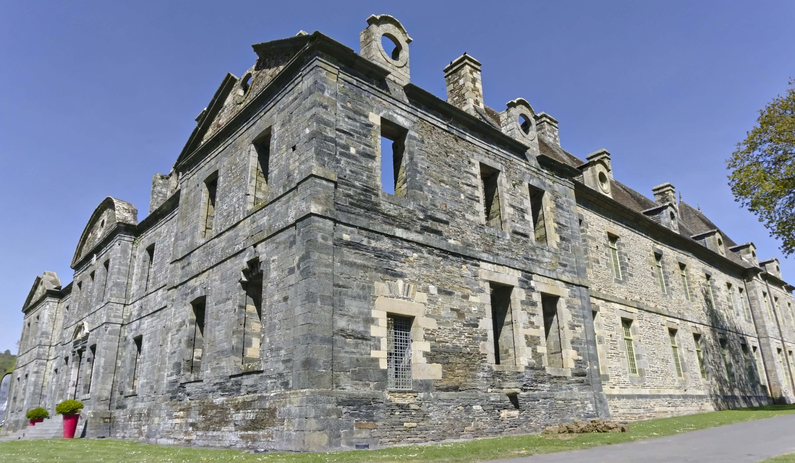
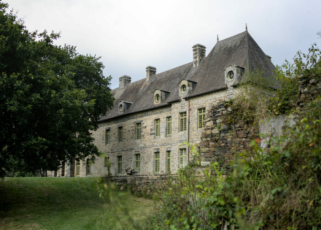
After our little stop in Gouarech we went to the Abbey of Bon-Repos. We are not going to hide it from you, but initially we only had planned to take a look at the building and not necessarily to make the visit…
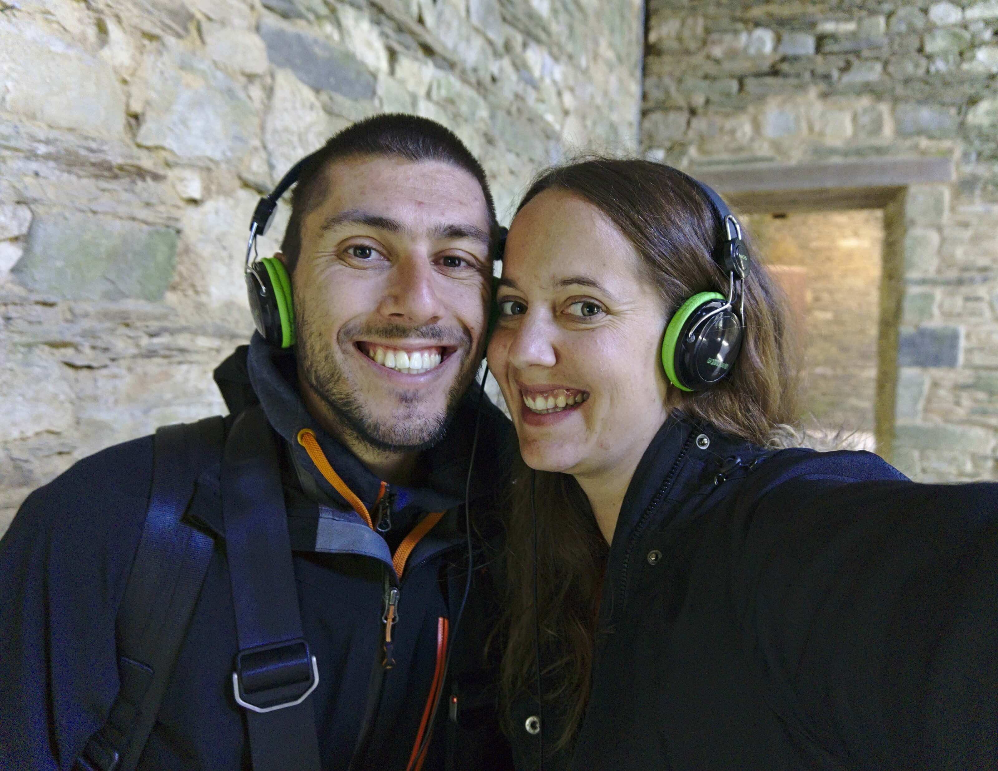
But when we arrived we met a young man who worked there. We could feel that he was really passionate about his job and about this abbey… He explained us that with his colleague they had created a personalized audio-guide (with their voices). Their idea was that audio-guides are often a bit boring (we won't contradict him on that) and so they set up this tour in the form of a visit where the lady presents like a guide, and he interrupts her to ask "typical" questions of visitors.
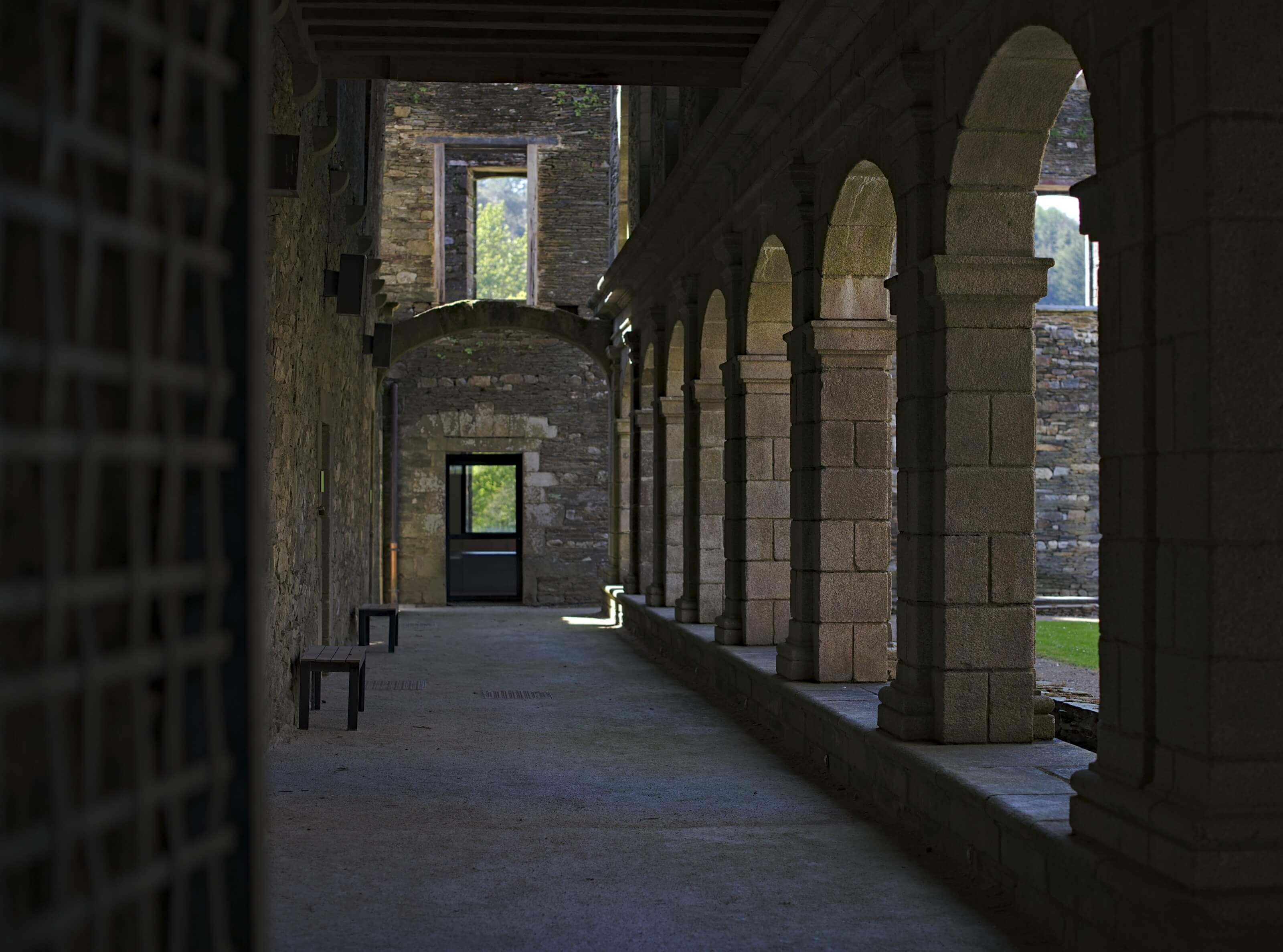
I might as well explain to you that after hearing him talk so passionately about this place and his audio-guide we could not leave without doing this audio-guides tour. 🙂 So frankly museums are usually not our favorites and I would not say abbeys are more "our thing"! But we really liked this 45 minutes stroll in this old abbey which dates from 1184.
Useful info
Where?: More or less halfway between the village of Gouarech and the lake of Guerlédan
Opening times:
- from 10 am to 7pm July- August
- 10am to 12 pm et 2pm to 6pm From March to October
- See more infos here
Price: 5€ for adults (2€ for children between 10 and 16 years old).

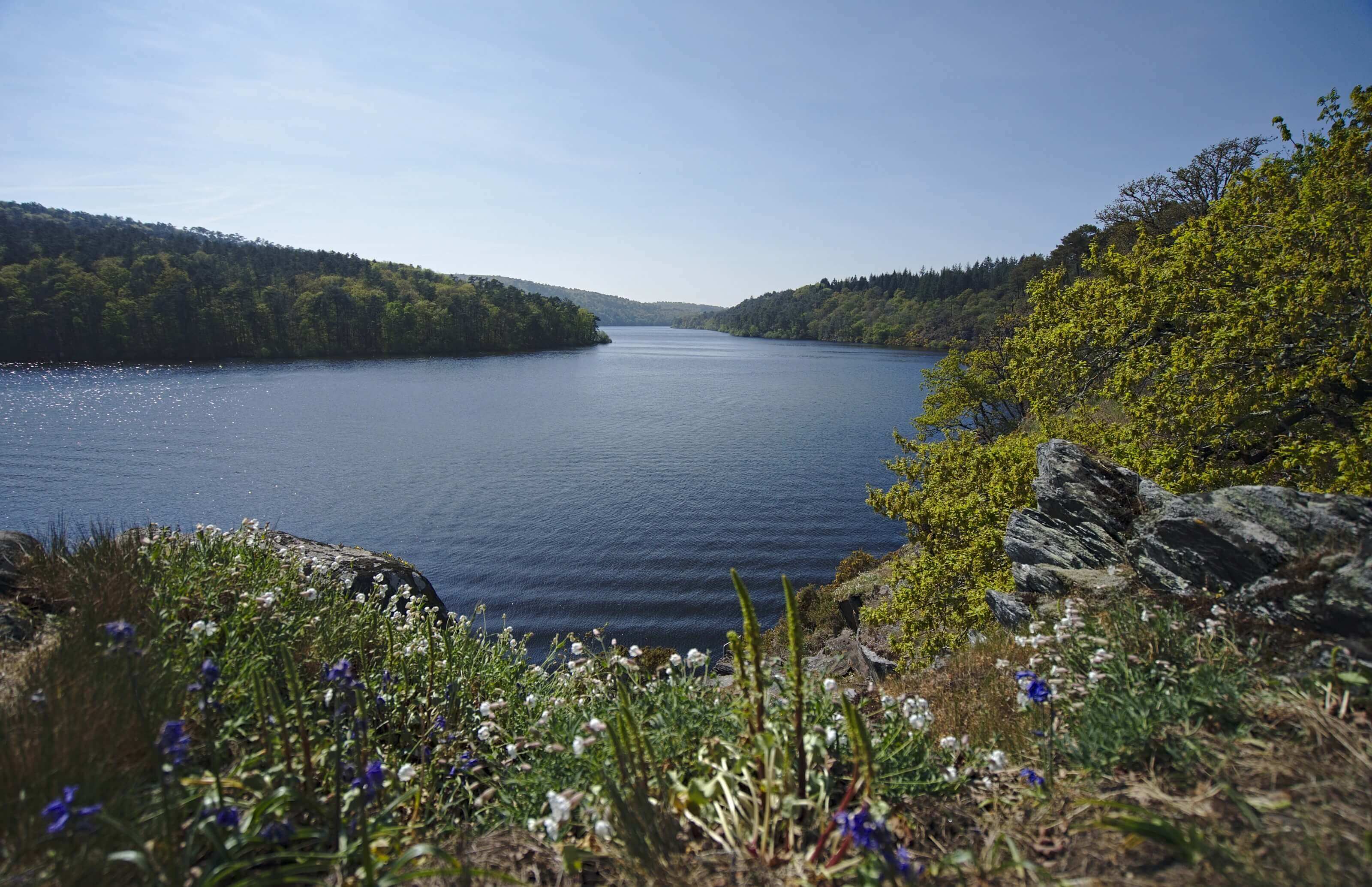
The Lake of Guerlédan - a change of scenery in the heart of Brittany
The lake of Guerlédan is an artificial lake which was born with the construction of the dam of Guerlédan which took place between 1923 and 1930.
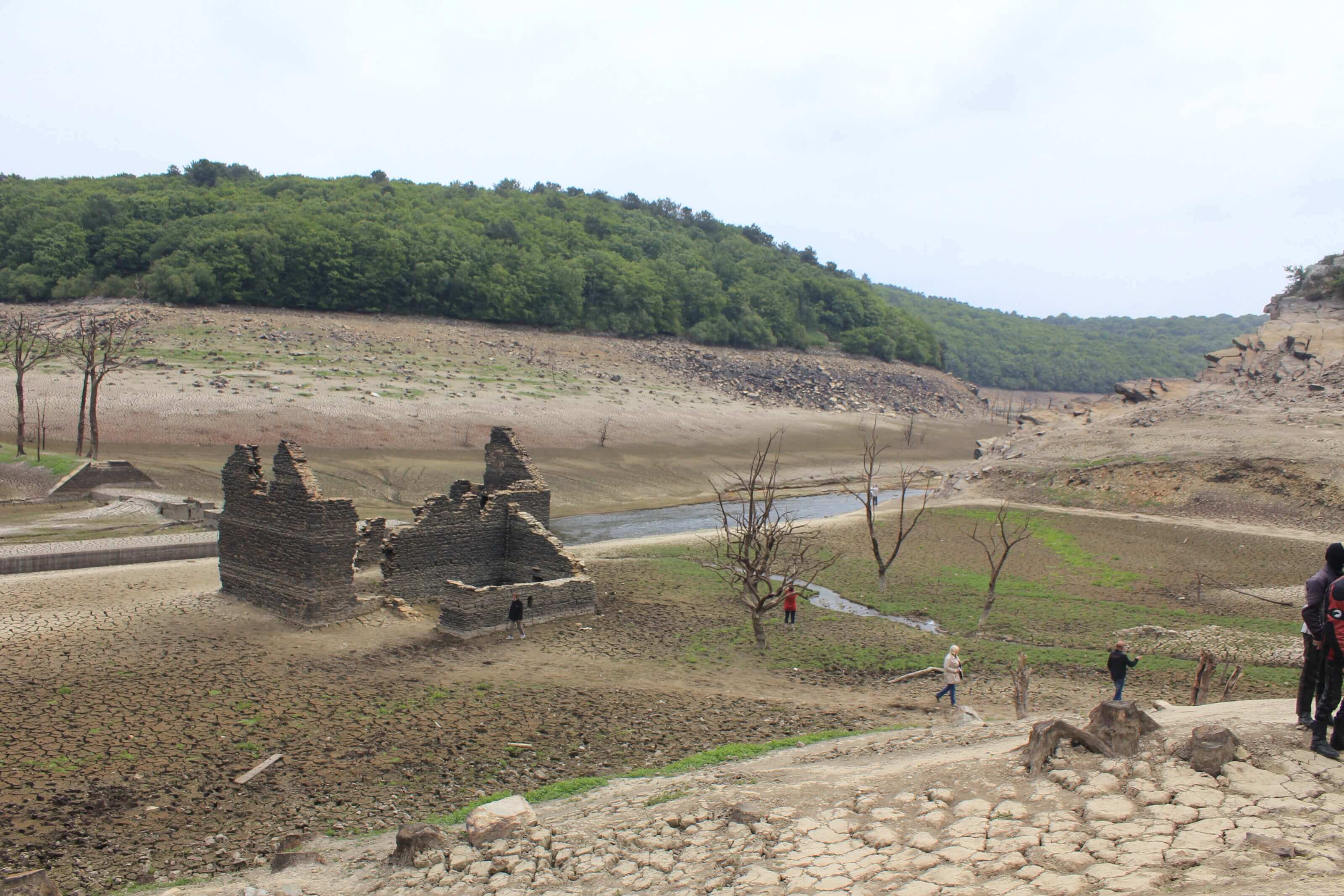
But if this lake is very well known it is not only because it is a nice place to come for a walk. This lake got a lot of media attention in 2015 when it was totally dried up!
Since 1951 (date of the first drying up) there have been 4 others (roughly every 10 years until 1985). The idea of draining the artificial lakes was linked to the need to check the state of the dam and to undertake possible works. In 1995 and 2005 the drying up did not take place because the technology had progressed and the analyses and measurements could be done with the help of robots.
When in 2005 it was noticed that there was a need for major maintainance work they decided to completely empty the lake in 2015, which of course got very popular amongst breton people.
From March 2015 the water level was therefore gradually lowered to finally leave a large dry valley from May to November 2015. During this period visitors were able to observe the many remains and lock houses that are normally sunken under the lake.
Here is a small picture of what the lake looks like once it is dry:
Hike around Lake Guerlédan
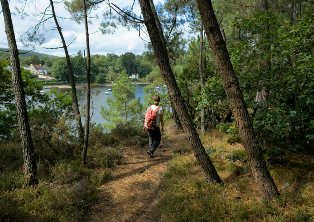
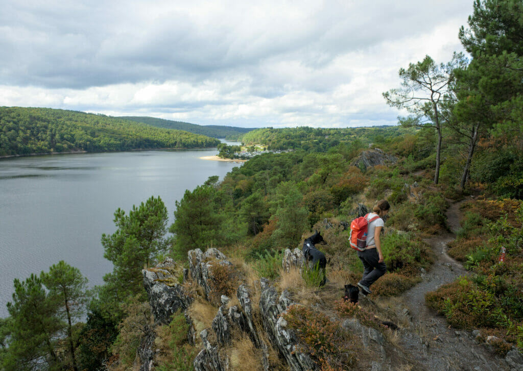
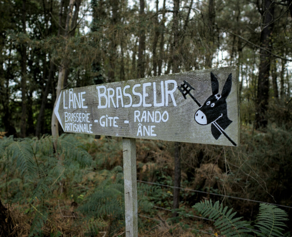
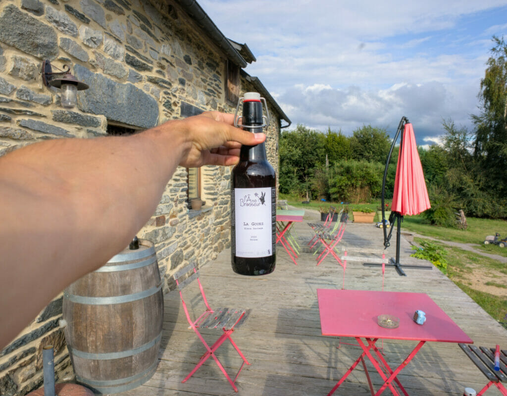
In 2021 we came back again in the region but this time because we were writing our new book "rando bière en Bretagne". You will discover the detailed itinerary with all the practical information in the book to be published, but what we can already tell you is that the guidebook will contain a 2 days hike around the lake of Guerlédan and which does not only allow you to pass by a craft brewery but also to spend the night there (yes yes!)
In short, the tour of the lake of Guerlédan is a superb course of a little less than 40km which can easily be done on 2 days! We can't wait to tell you more about it soon…
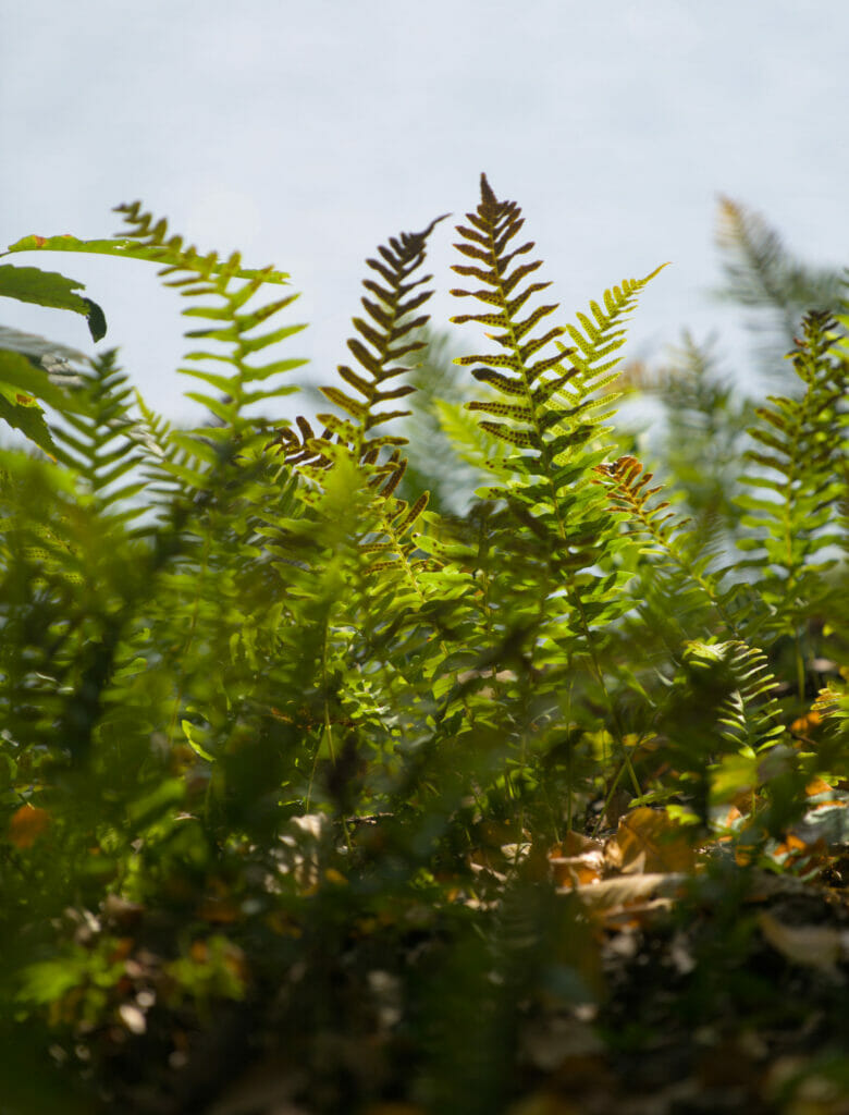
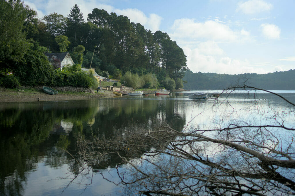
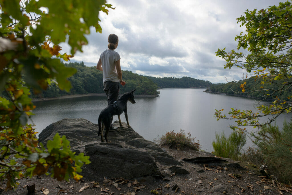
But in the meantime, here are some pictures of this beautiful region:

The Lan Bern trail
While we were with our friends Géraldine and Nico in a small village just next to Rostrenen we went for a short walk in the small village of Glomel.
We really enjoyed this very varied walk which offers an excellent overview of the typical landscapes of central Brittany: Moors, Ponds, Bocages, meadows but also the famous small canal from Nantes to Brest (Yes yes this canal does connect Nantes to Brest, the name is not a lure) 😉
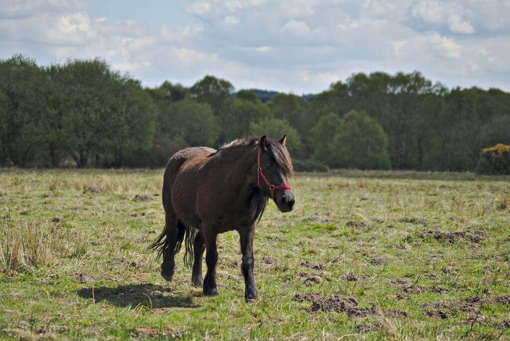
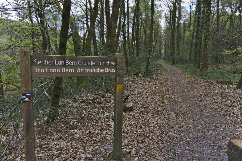
The walk begins by following the canal for a short bit before turning towards the Landes de Lan Bern. The path is very well maintained with many small footbridges that cross the many ponds in the area. Apparently it’s a great spot to come and observe animals, but having come in the middle of the day, we weren’t very lucky (Appointment at the end of the article to see the only species we managed to capture in pictures…) 🙂
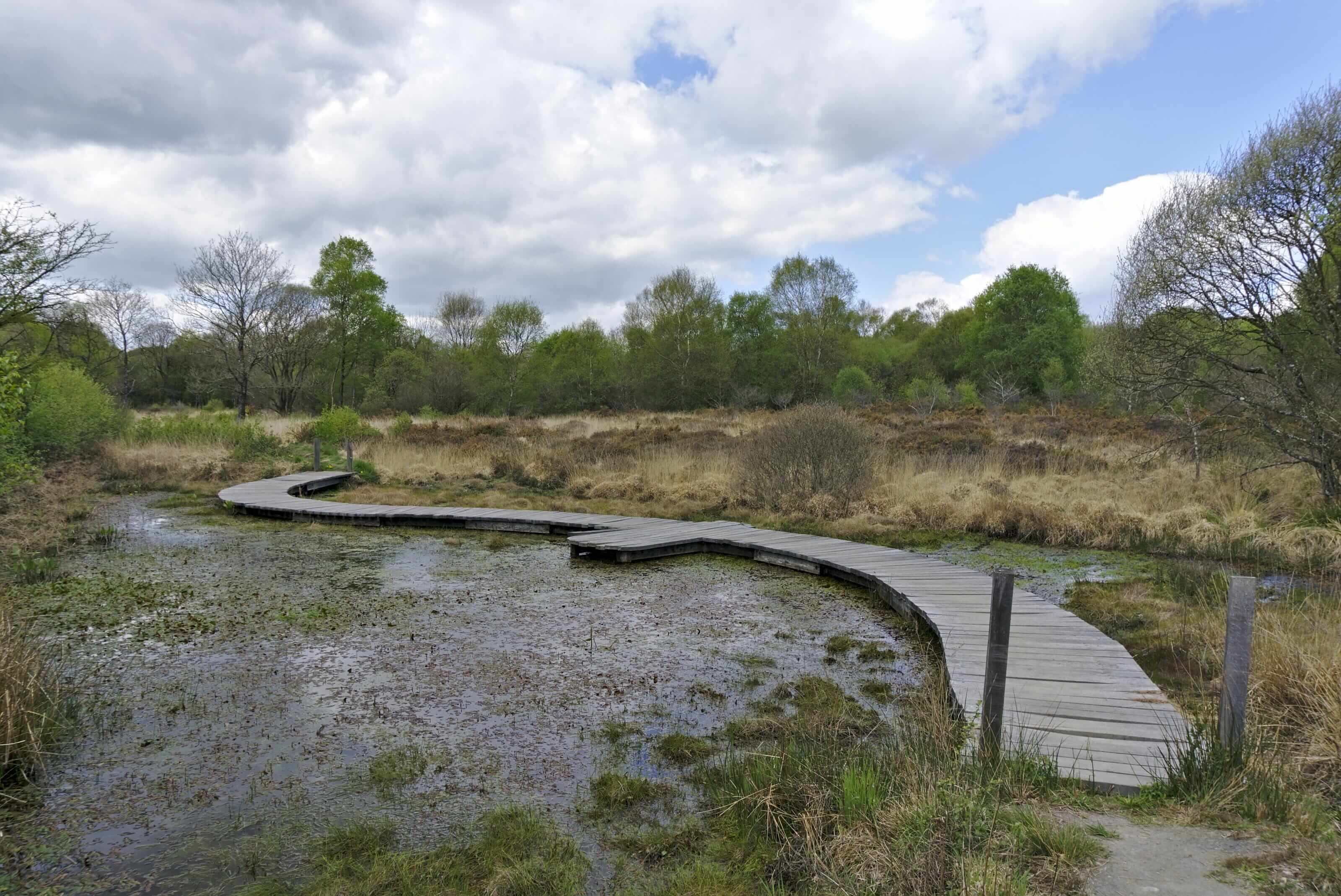
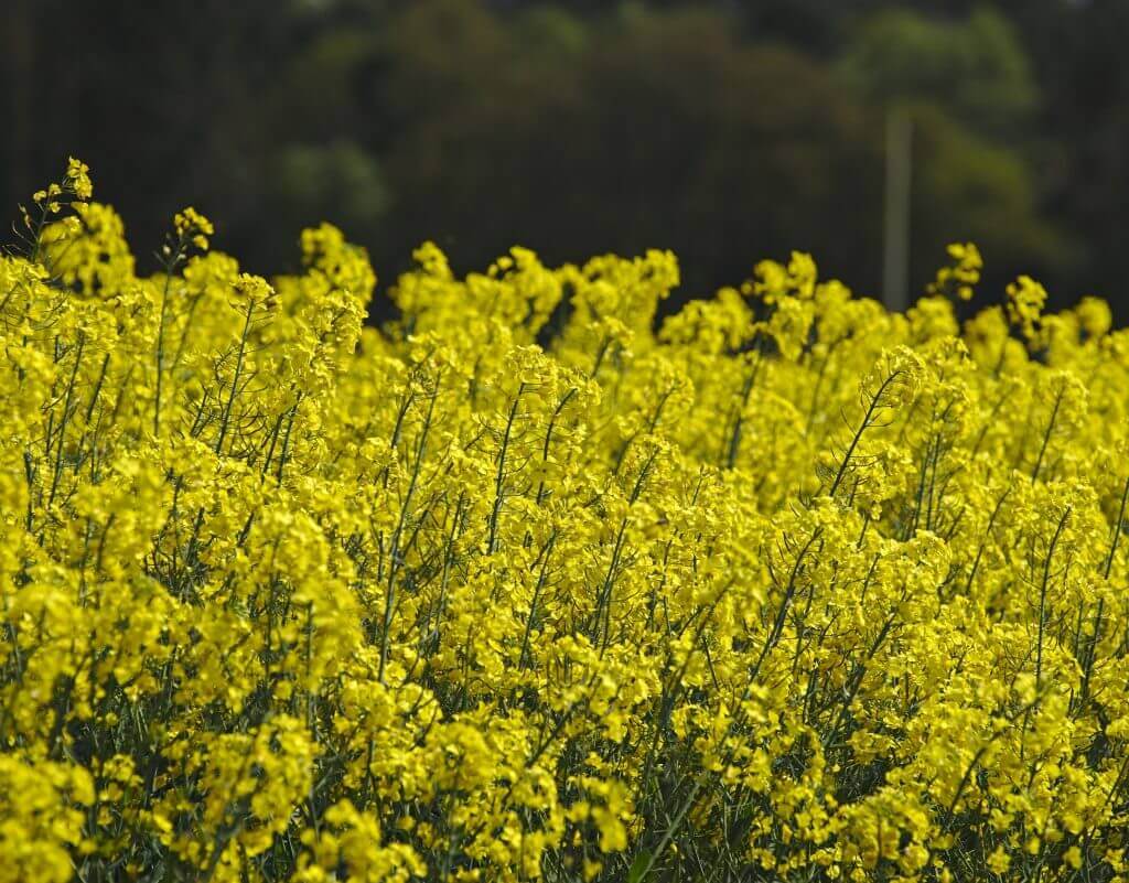
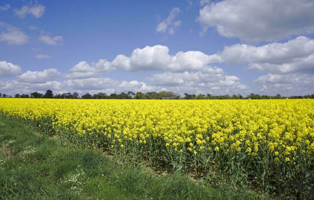
Once out of the Landes you arrive on a section in the heart of the countryside. Horses, cows, rapeseed fields, you’d almost think you are in Switzerland! Good, on the other hand, not a single hill to be seen on the horizon, everything here is perfectly flat, which I confess was not to displease me!
The second part of the walk takes place mainly along the canal. We follow the latter to the pond of Créharer before crossing the canal a few hundred meters further.
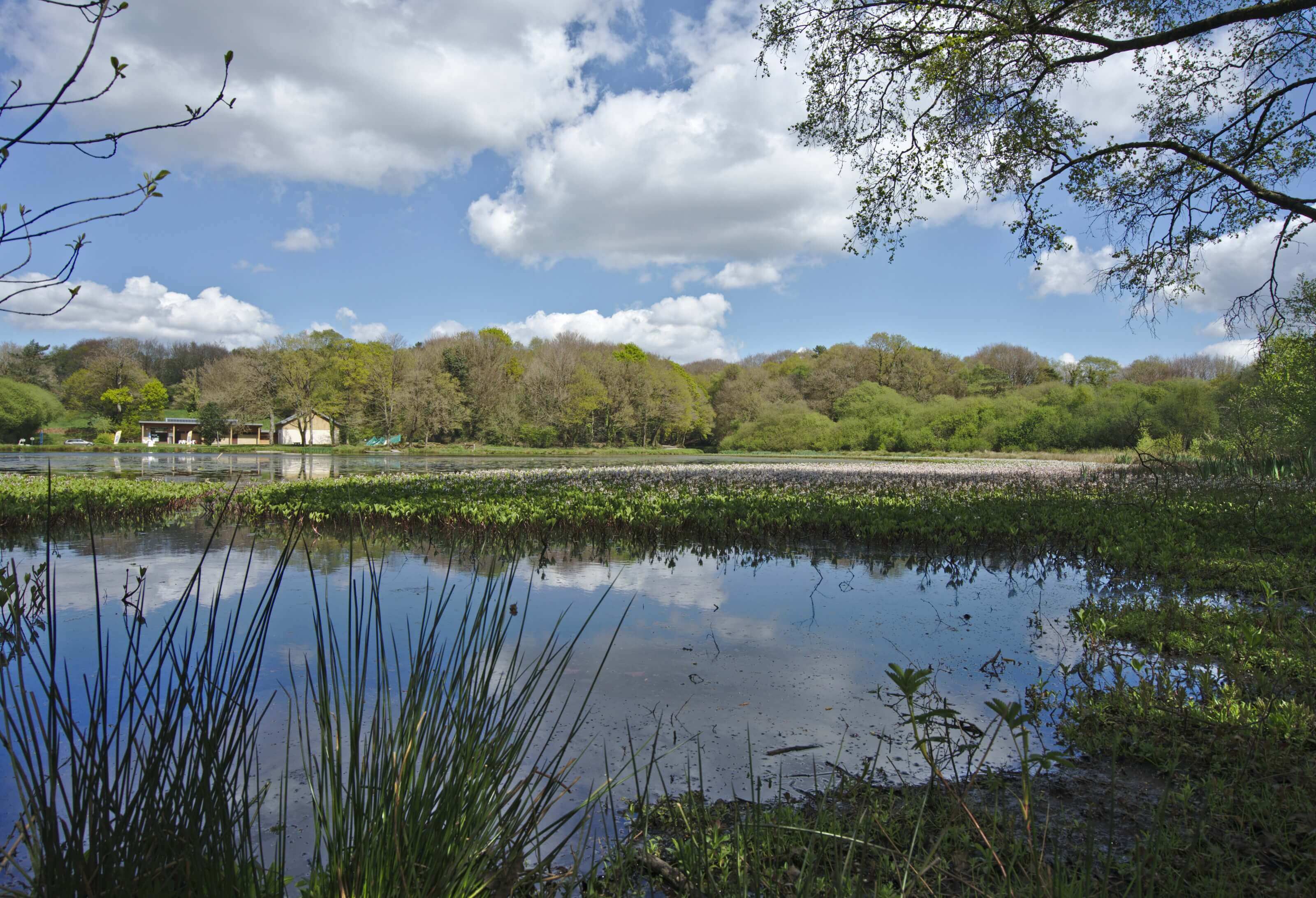
The return to the car park then follows the canal, sometimes along the waterfront, sometimes in the forest.
Infos
Distance: About 13km
Difficulty: really easy
Duration: Allow 3 good hours to do the loop by walking quietly and stopping for a few photos.
Here is a small map to help you find your way around. But basically you don’t have to worry, the trail is really well marked. We recommend that you leave the car at the level of the bridge indicated on the map, there is a small free parking space.
Download the route on AllTrailsGuéméné-sur-Scorff - Small visit in the city of the andouille
Anyone interested ni a slice of andouille? Strange reason to visit a village you may say, but after our numerous stays in Brittany we couldn't resist to go and see the "official village" of Andouille: Guéméné-sur-Scorff.
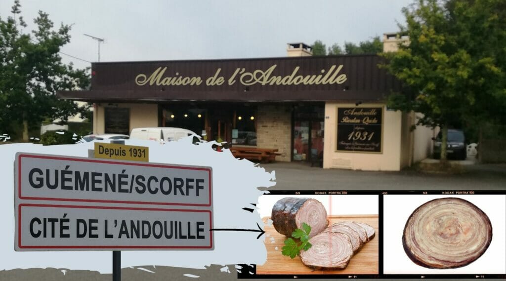
Well, let's face it, for us it was more of a quick stop for fun… We are, to be honest, not big fans of this andouille. We don't eat a lot of meat anymore and we might as well explain to you that andouille is a bit "extreme" for our little stomachs 😉 But if you pass by there, know that you will find some Andouille without concern in Guéméné.
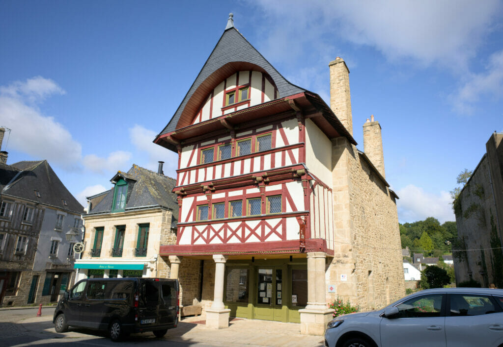
The village itself seemed very, very quiet (we passed briefly during the week). I don't think I'd recommend planning a full day there, but if you're planning a little digestive stroll then the center is actually pretty cute.
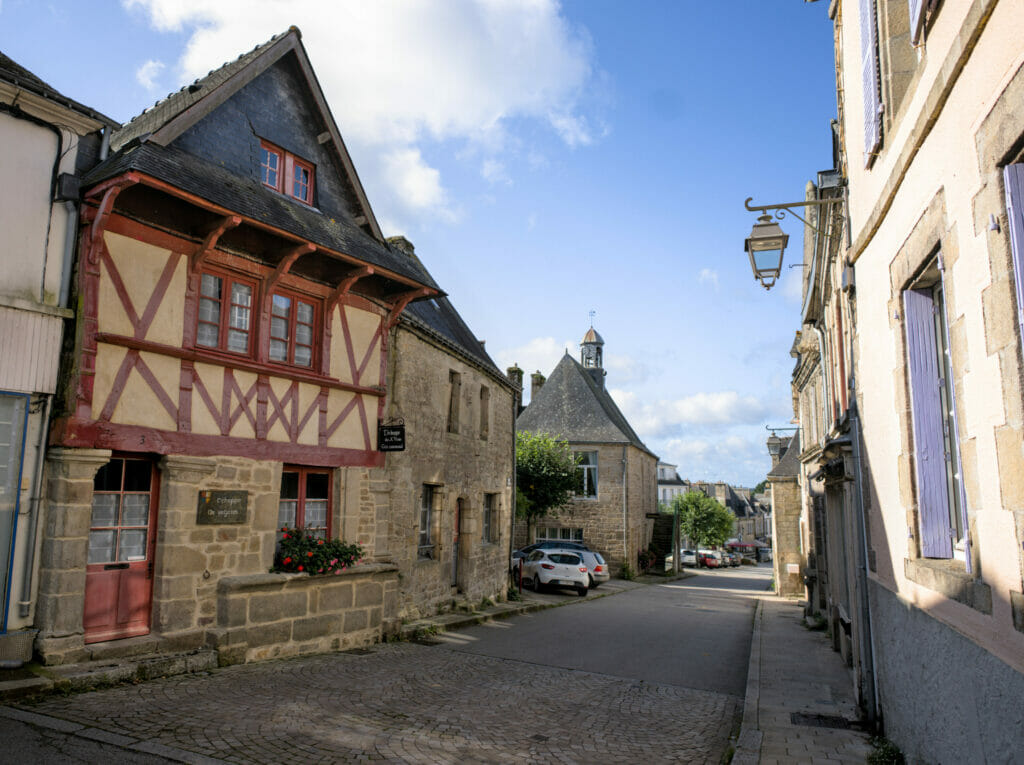
We hope you liked our article on central Brittany. For us it was really a nice part of our Breton adventure. You can find all our articles about Brittany on this page.

Join the discussion