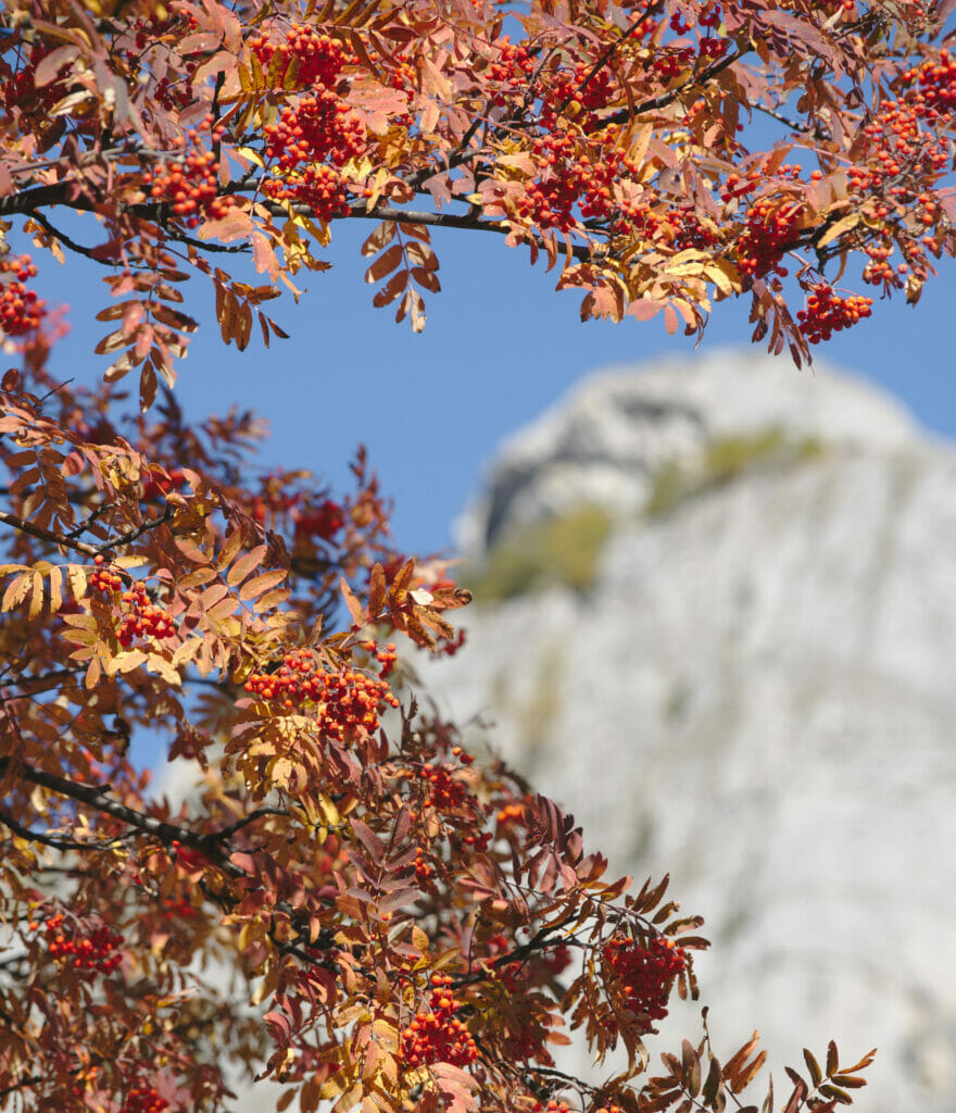
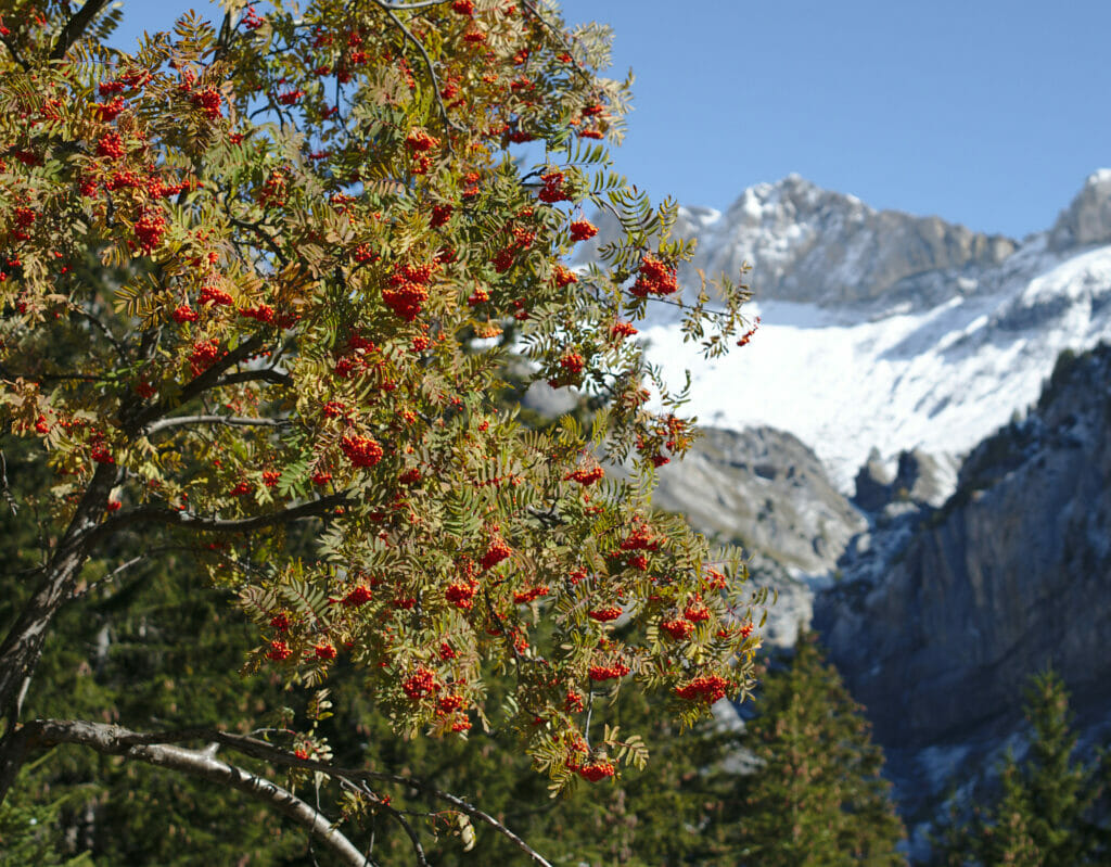
Ahhhhh fall and its beautiful colors! This is without a doubt our favorite season for day hikes in our beautiful Swiss mountains. The trees change color as the days go by to finish in beauty with the larch trees bursting into flames between the end of October and the beginning of November. A show that we will never get tired of!
We did a lot of hikes in autumn nearby our place but who knows why, we shared almost none of them with you on the blog (except maybe our recent walks along the bisse du Ro or the bisse de Clavau)… Well, we intend to correct this situation in the coming weeks by starting right away with a nice hike around the Derborence valley in Valais.
The Derborence valley and the Diablerets range
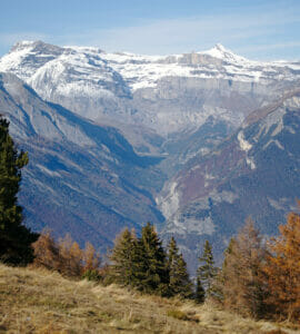
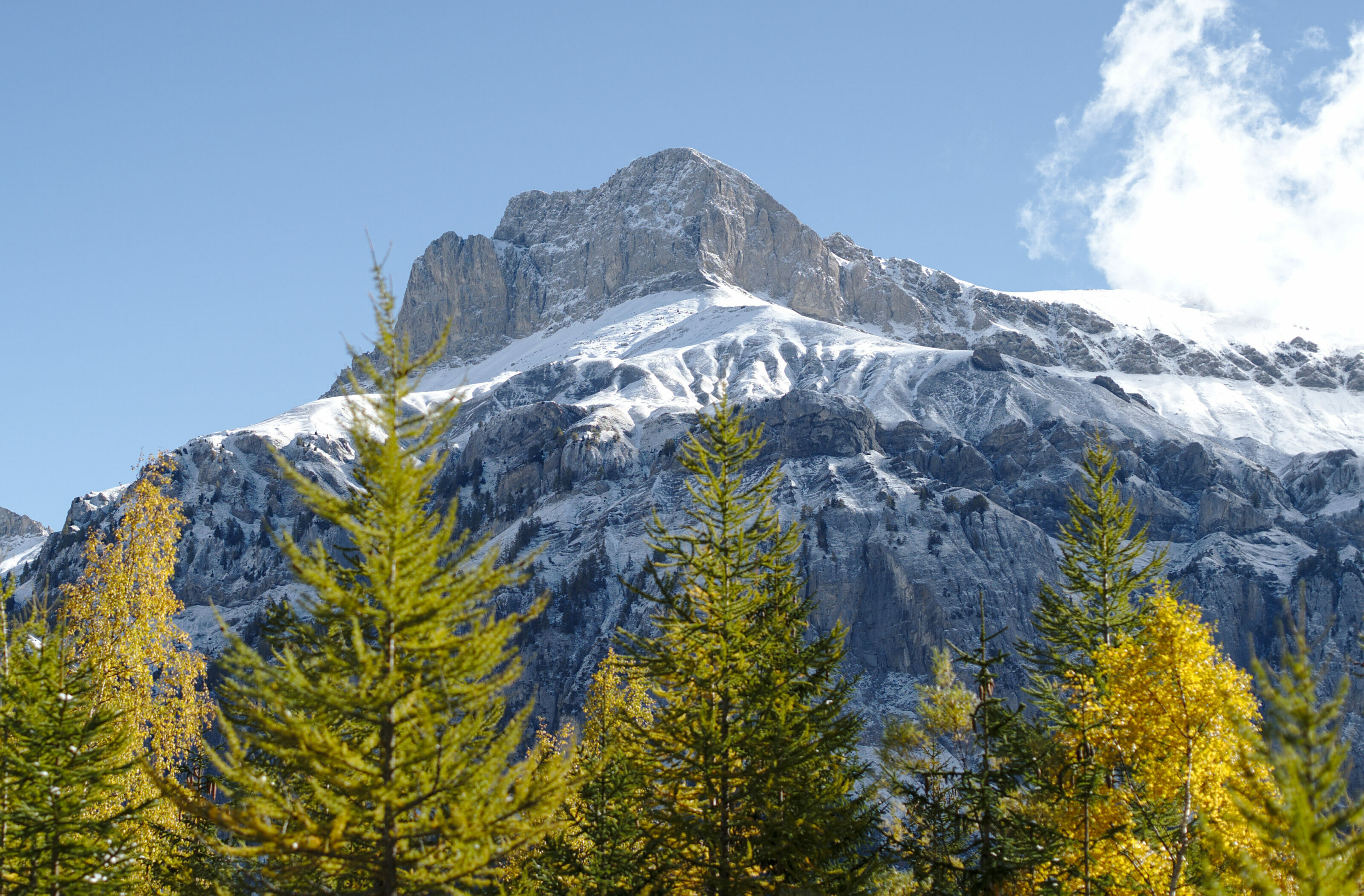
The Derborence valley is located above the village of Ardon in central Valais. It is dominated by the impressive Diablerets range which rises steeply above the Derborence lake. To get there you have to take the road that goes up from Conthey in the gorges of the river “la Lizèrne” (possibility to take a bus from June to September. more info on the sbb website). you will see, this road is impressive because it is narrow and partly cliffside. But it is Switzerland so there is no danger to report 😉 (apart from the difficulty to cross in some places)
If the Diablerets Massif is named like this, it is because of the catastrophic landslides that took place in Derborence in the 18th century, the traces of which are still visible today. A whole section of the mountain had fallen off, burying the shepherds, the cows and the chalets that were there. The inhabitants of the time, seeing it as the work of the devil, renamed the mountain “les Diablerets” and thought that the valley was cursed.

This catastrophe notably inspired Ramuz, a major Swiss author (his portrait is even printed on our old 200 chf banknotes) for his novel entitled simply “Derborence” and published in 1934.
Today, this deep valley does not frighten anyone anymore. The landslides of the time have even formed a beautiful natural lake and it is now a very nice place to hike and enjoy the mountains.
The Derborence Valley circle hike
Now that you know all this, I recommend you a nice day hike that goes all around the valley, including through the remains of the landslide and along the Derborence lake:
- distance: 12 kms
- denivelation: around 650m de d+-
- duration: 4-5h
- difficulty: average
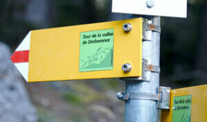
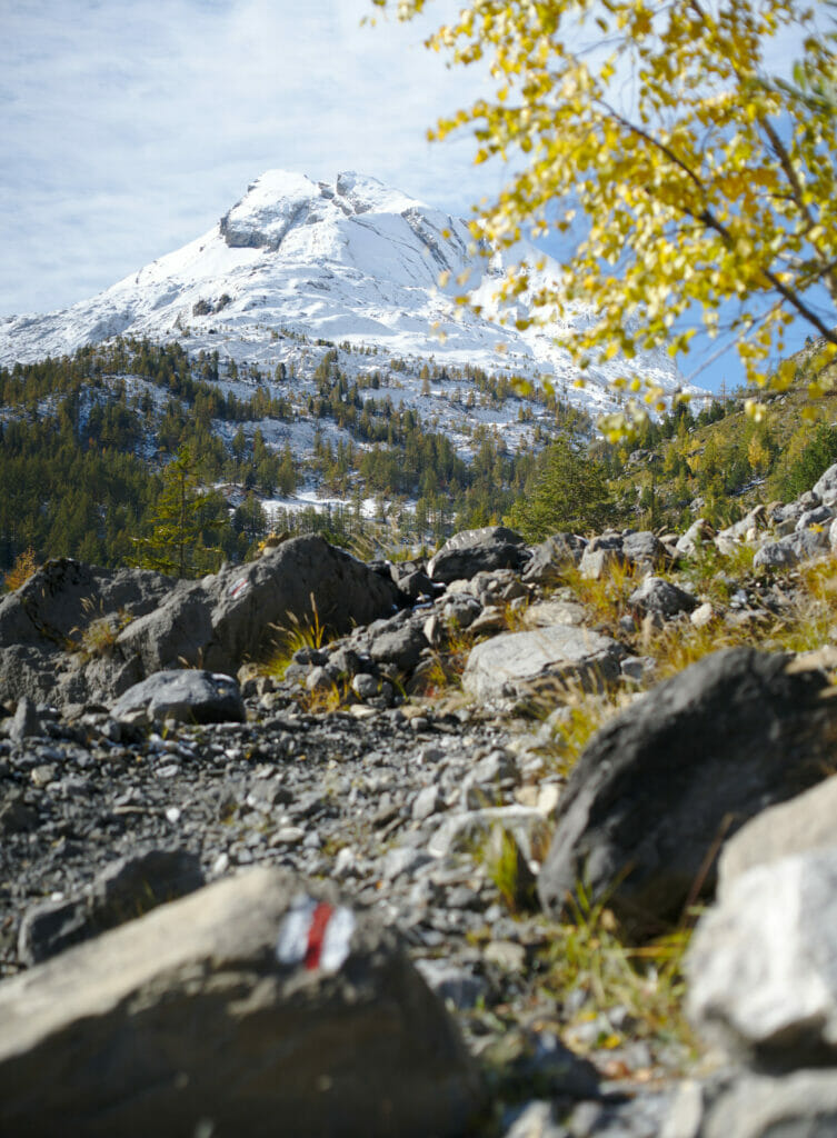
- Note: the trail is not difficult to follow and at most of the intersections there is a sign “tour de la vallée de Derborence” as on the picture on the right
- If you wish, you can download our track from the AllTrails website. To do so, you just have to create an account (free) and click on the “plus” option of the map in order to choose among more than 30 export formats (GPX, KML, Garmin, etc.)
To start the hike, you can park on one of the squares along the road at the small blue lake or on the parking lot at the end of the road near the lake of Derborence. We started at the level of the small lakes on a fresh October morning.
From the small lakes we reach the hiking trail by a track and then we slowly walk up through the forest towards the Derborence lake. It must be about 10 am in the morning and the sun is not yet high enough to warm us. A thin layer of snow from the day before still covers the trees around us.
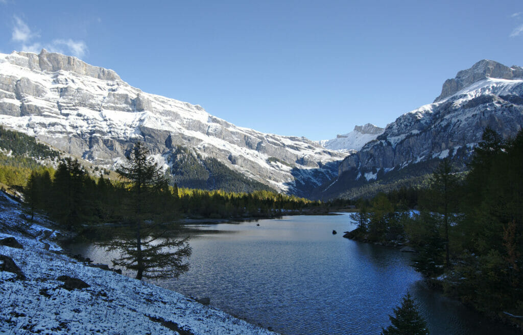
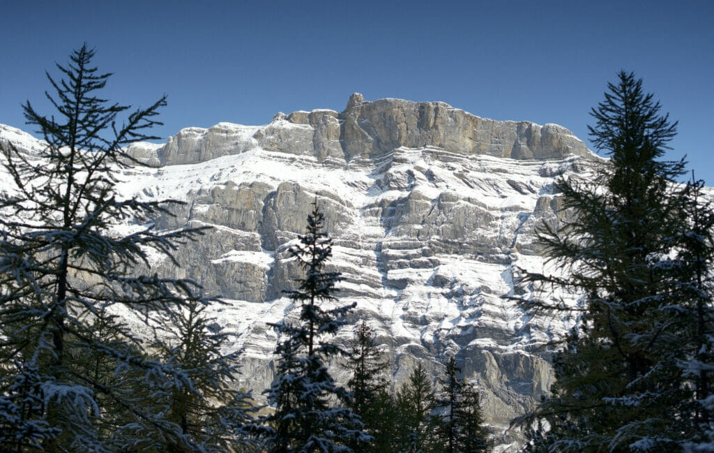
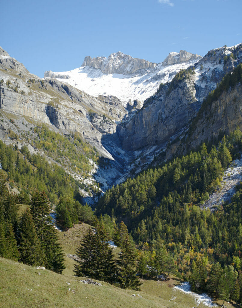
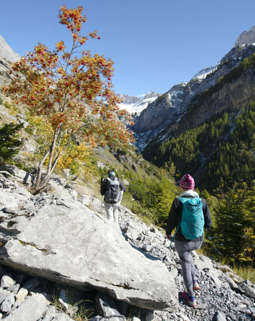
After going around the lake until the refuge, we go down on the track towards the parking lot then we go up on the left towards the famous landslide of Derborence. The traces of this natural disaster are still very visible but the vegetation is slowly recovering. With the trees that are covered with their autumn colors and the snow that has just fallen, the landscapes are just beautiful.
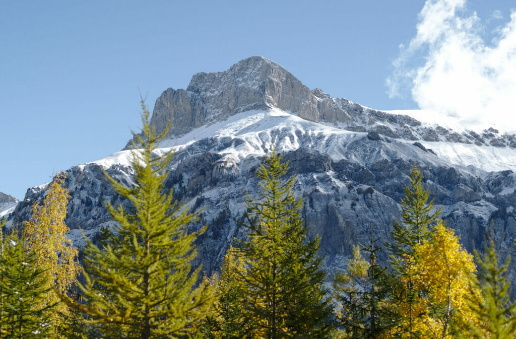
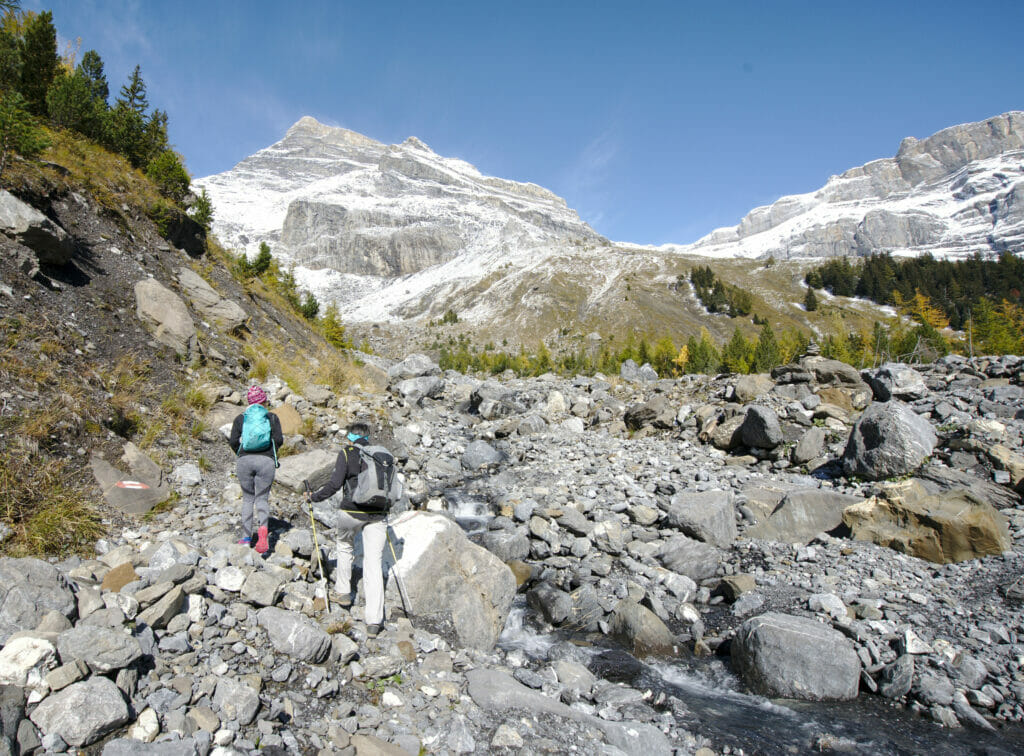
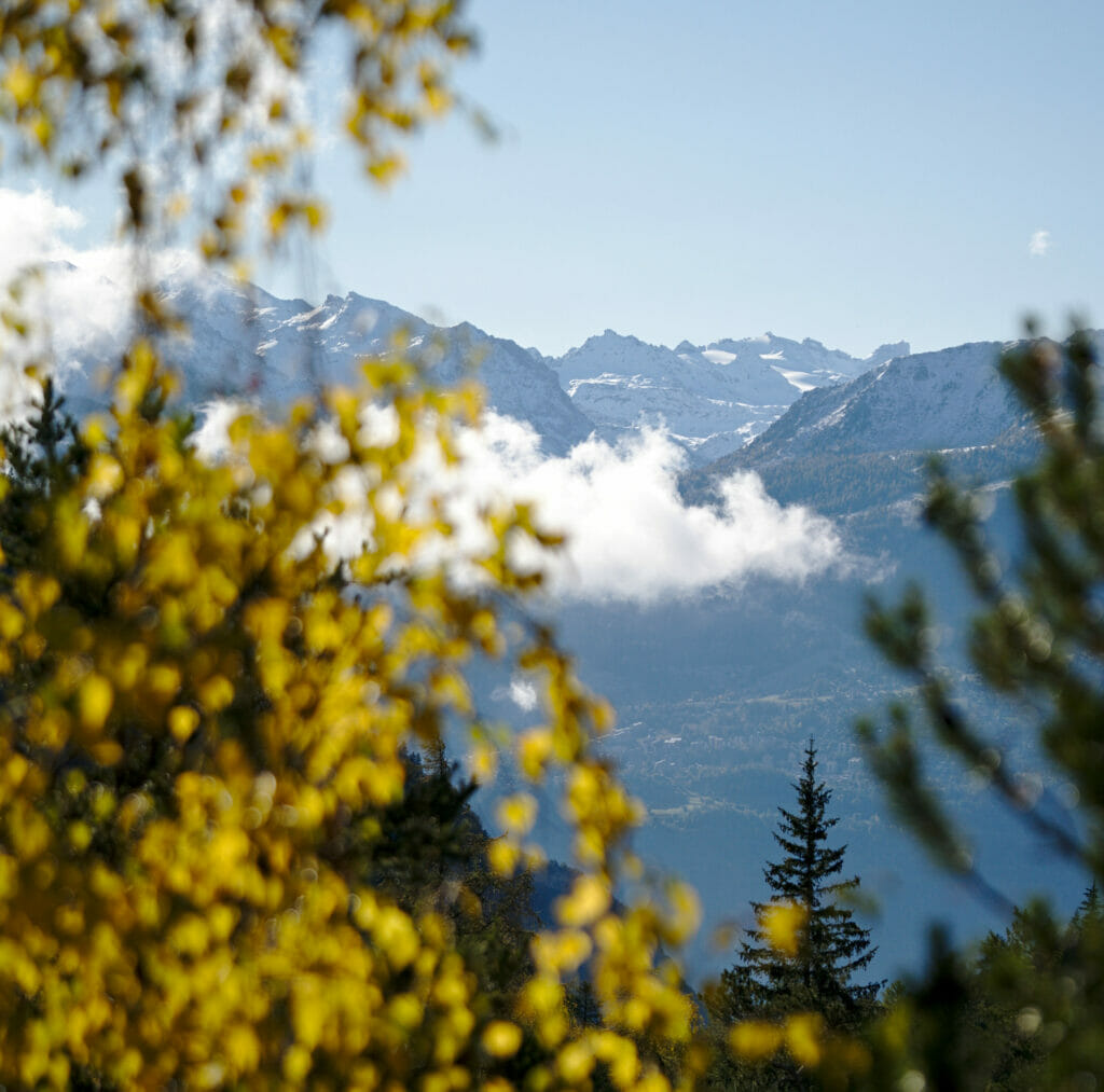
The trail then continues on the mountainside above the valley. As we go forward, we can observe the landslide in all its facets. Below, we can also see the reservoir of the Godet and the Lizerne gorges that go down to the plain.
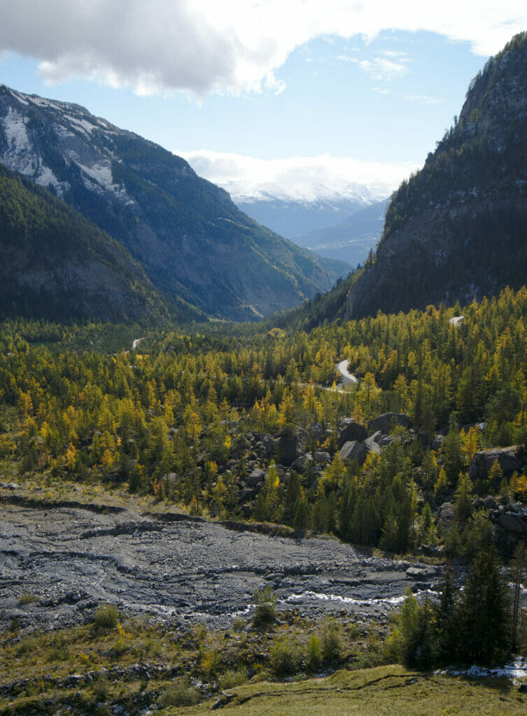
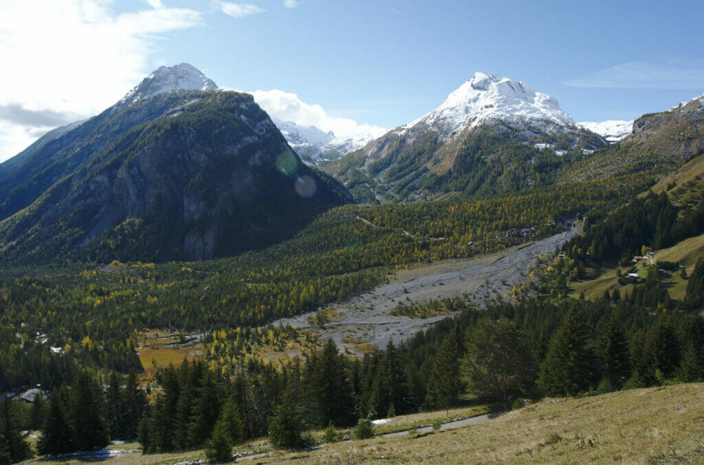
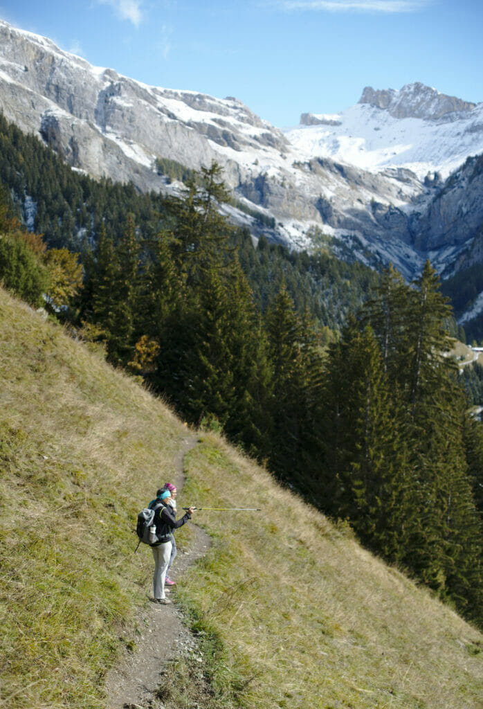
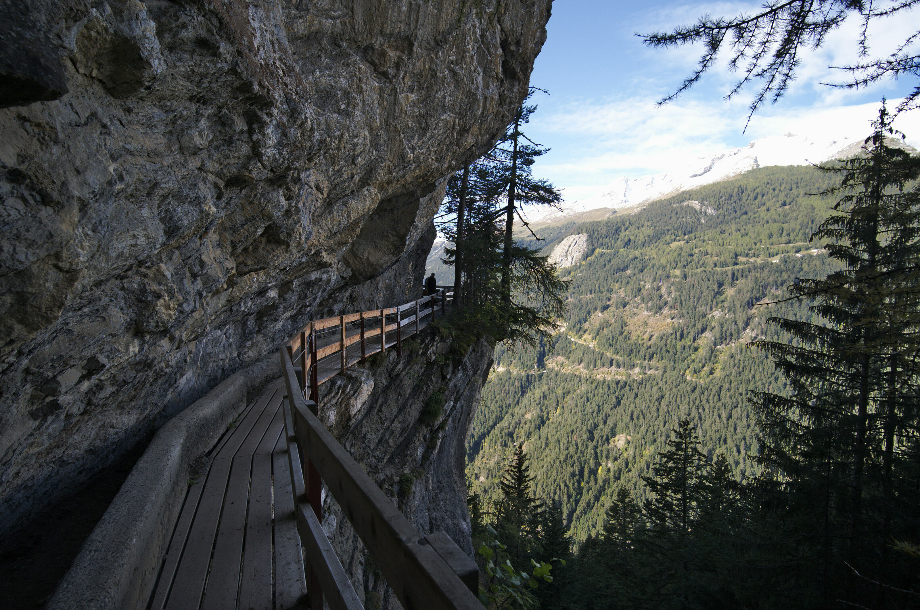
The next part of the path that follows the Lizerne river on its left bank to the bottom of the valley is a little more difficult. There is a passage a bit impressive (nothing dramatic, my sister who is a bit afraid of heights had no problems to pass) then you have to cross the river at the bottom of the valley. Note that the crossing can be difficult when the snow melts in spring or if there was bad weather (there is no footbridge and you have to cross on rocks).
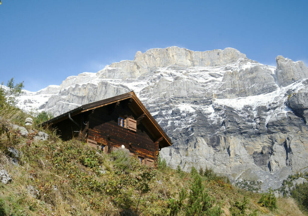
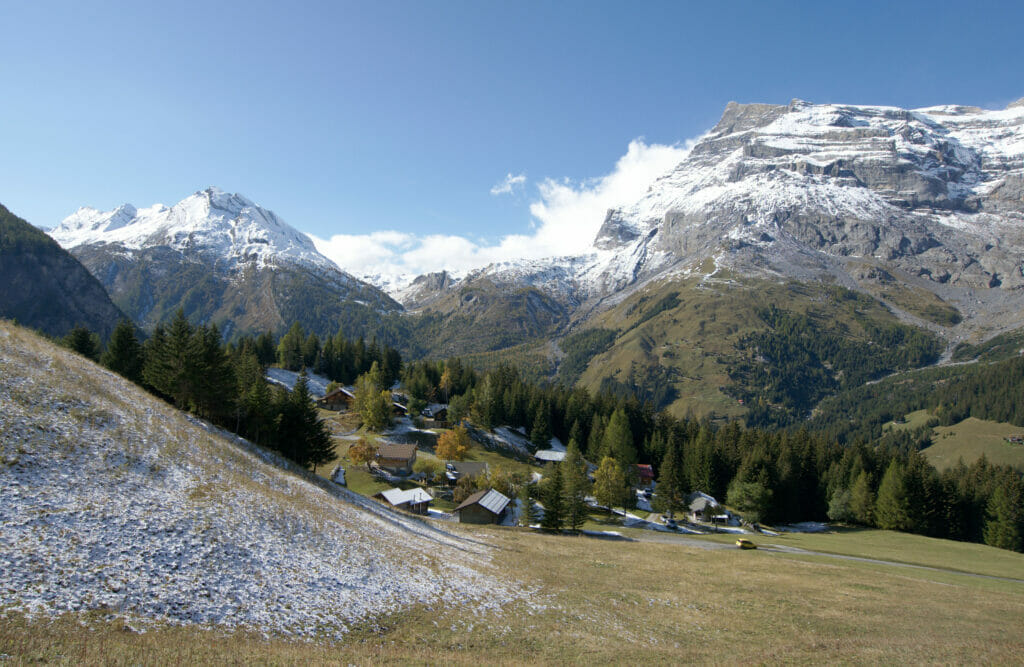
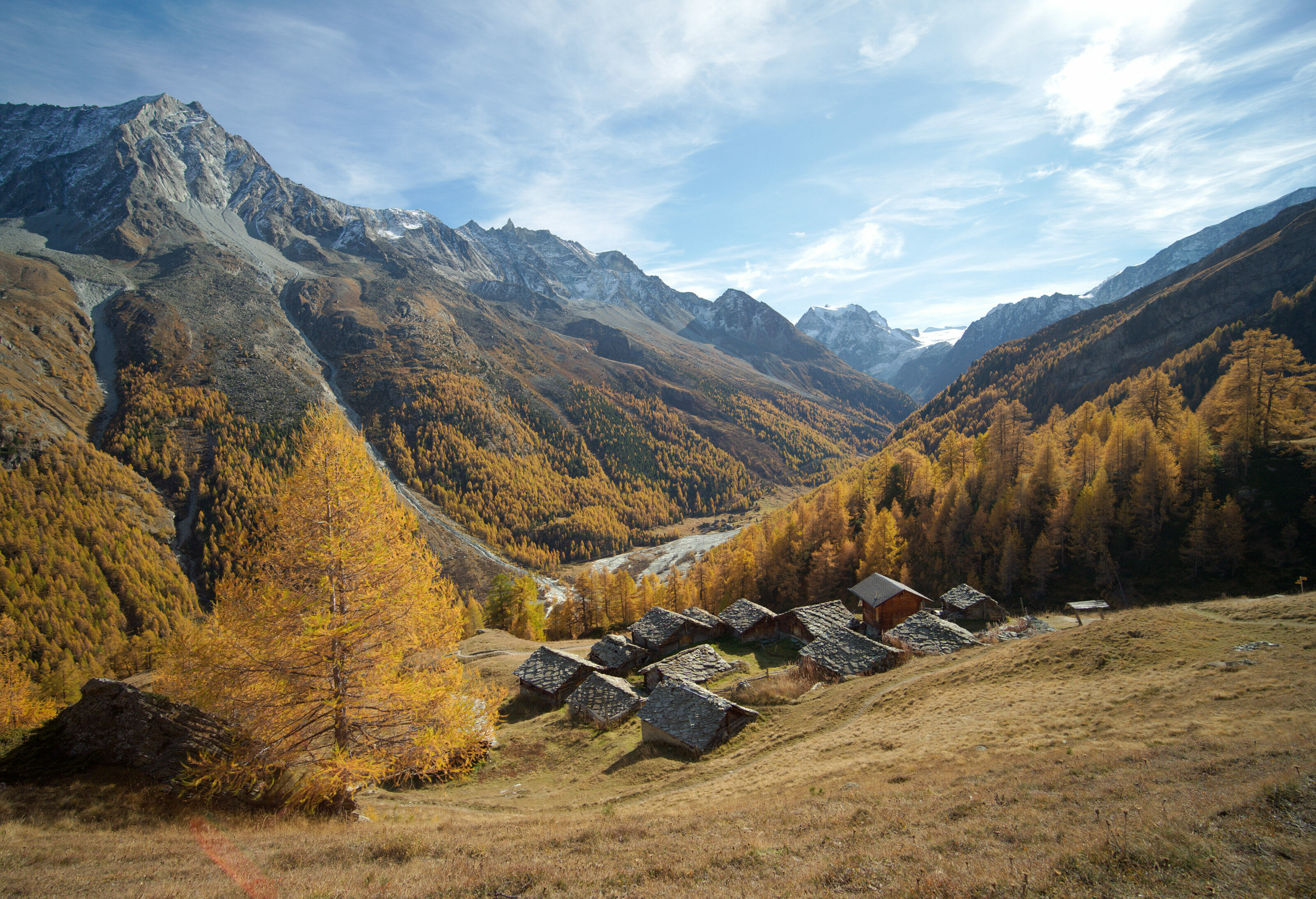
Once on the other side, we come back on the other bank through the forest to the hamlet of Montbas. This place is a little piece of heaven with some nice chalets and a magnificent views on the Diablerets range. It must be nice to own a little house here!
Finally, the path drops down to Besson where we find the main road we took with the car. After having walked along the road for a few hundred meters, we find the path which goes up quietly on the left towards the lake of Derborence. The loop is closed!
That’s it for this beautiful autumn hike. I hope that this post will make you want to discover the Derborence valley and its preserved nature. You should also know that there are other nice hikes that pass through this area like the tour of the Muvrans (a 4-5 day hike that passes through here) or the crossing to Solalex by the Pas de Cheville. See you soon for other nice autumn hikes in Valais.

Autumn is probably one of our favorite seasons for hiking at medium altitude. Here are a few more ideas for autumn walks in Valais or the canton of Vaud:
Pin it on Pinterest




Join the discussion