In our series of posts about our favorite sections on the Jura crest trail, we left it last time when we got washed off 300m away from the Hotel de la Vue des Alpes coming from the Chasseral 🙂 . Today we will continue from there in the direction of Noiraigue and the famous Creux du Van, which is certainly one of the most beautiful places on the Via Jura (and certainly the most touristic too).
So we won’t deny it, we haven’t been lucky with the weather on this section. But as Benoît had already hiked the Creux du Van region before, we’ll still have 2-3 nice pictures to show you 😉
Note: For more general information on the Jura crest trail as a whole, we recommend that you read our page dedicated to this hike in its entirety.
From Vue des Alpes towards Noiraigue through les Tablettes
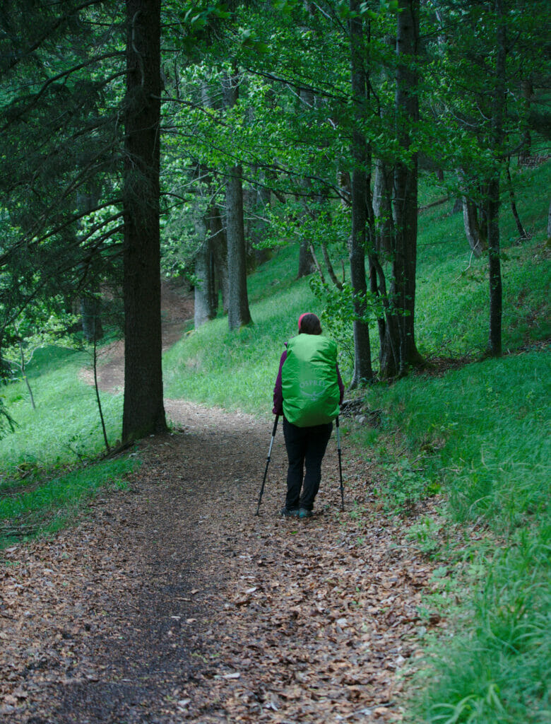
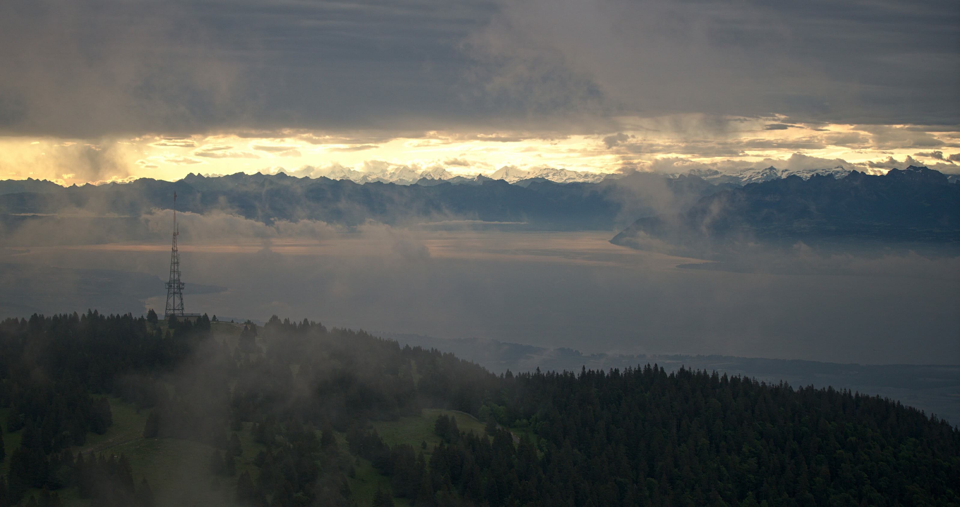
This day was promising as we were supposed to have a magnificent view of Lake Neuchâtel, the Alps and Mt-Blanc in the background. But that morning we left the hotel in the rain and in a thick fog… We couldn’t see at 50m and it had to be around 7 degrees! (Well, we’re not going to complain, we had great weather the first 8 days of the hike) We quickly reached the foot of tête de Ran which we decide to go around it as the weather was bad anyway. We skipped these 100m of climb, especially since we planned to walk 28kms to go directly to Le Soliat and sleep on the edge of the Creux du Van.
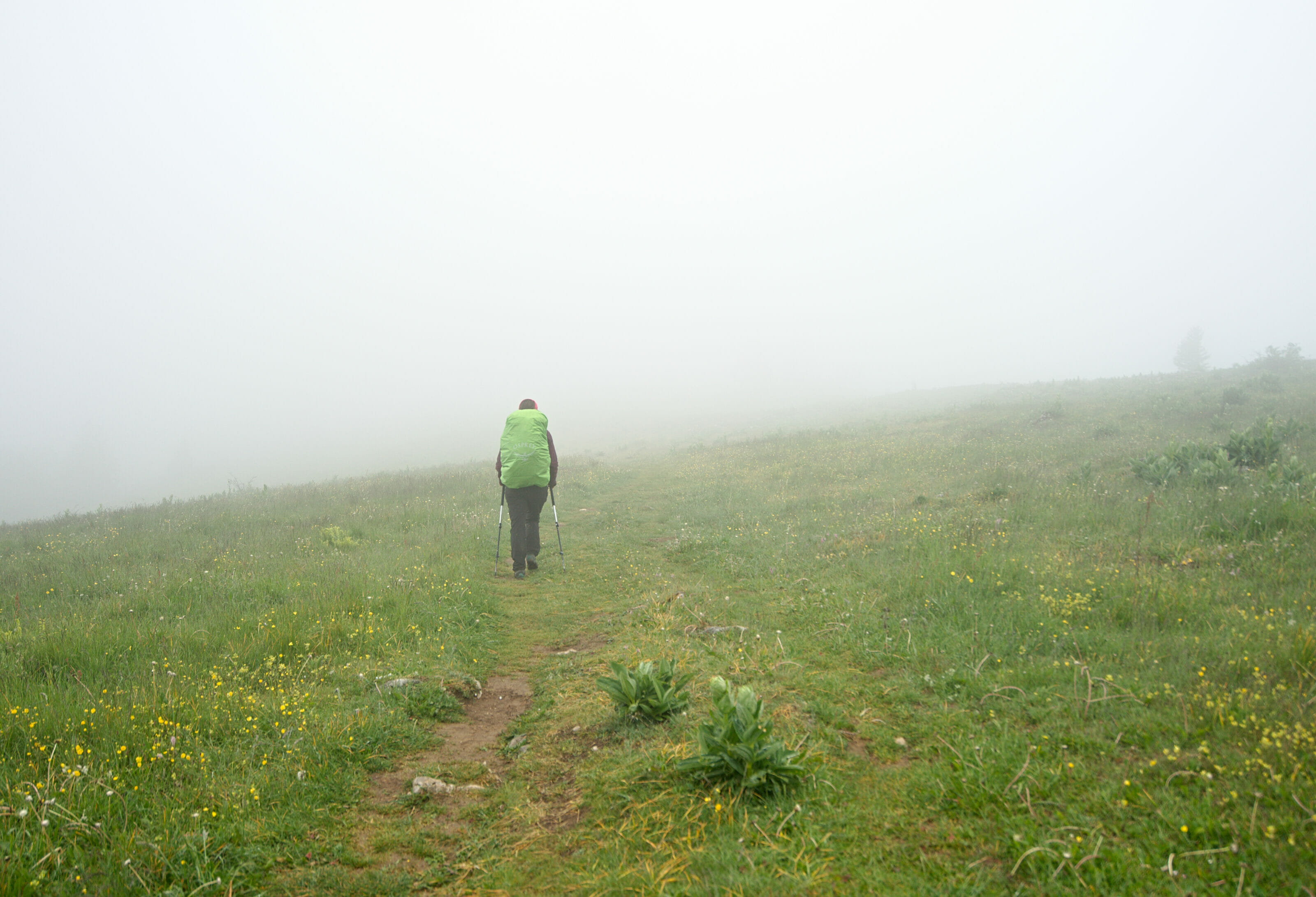
We continue our hike along the ridge, through the pastures. We pass the place called “Les Pradières” and then go up to Mont Racine. It has more or less stopped raining but the view is still quite blocked… However, we start to see the lake of Neuchâtel between 2 clouds. One thinks that the view has to be splendid from here when the weather is nice 🙂 . We pass then while going down in front of the buvette de la Grande Sagneule but we decide to carry on 3-4 kms to take a well deserved coffee at the hotel de la Tourne (a very nice place which must be also great to eat or even spend the night).
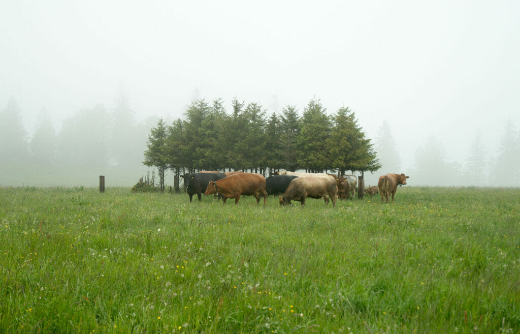
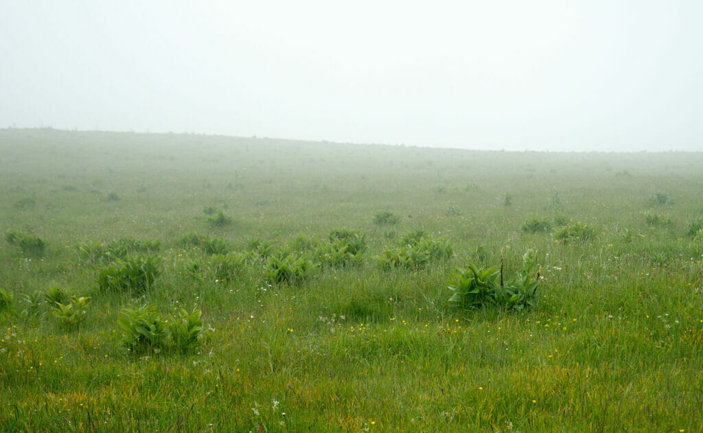
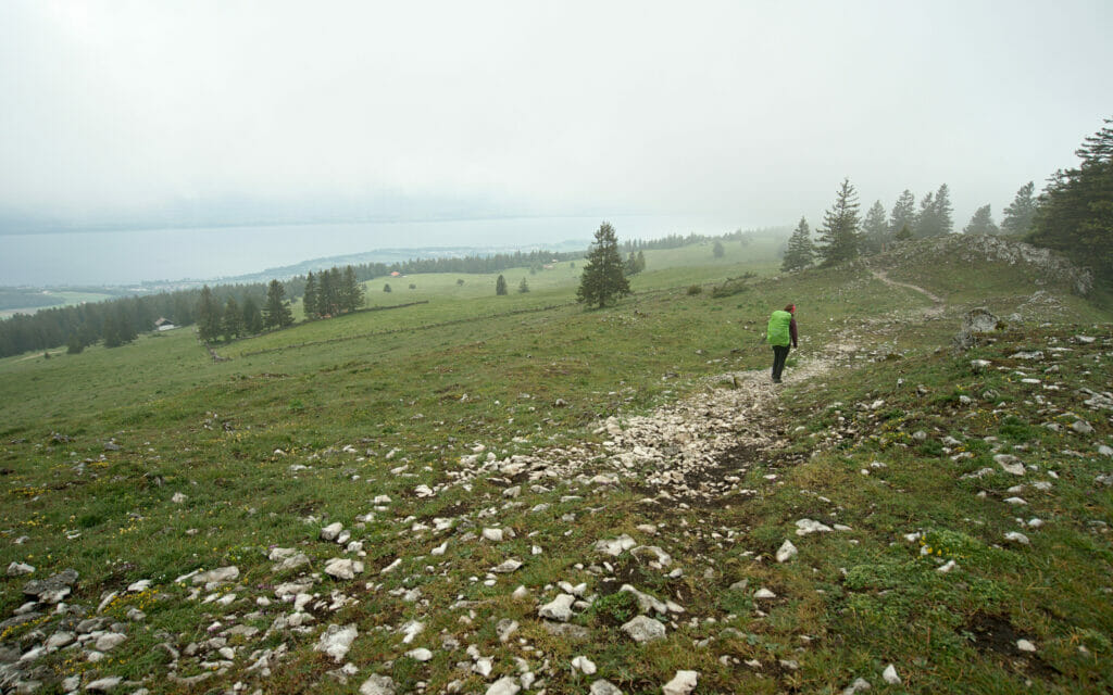
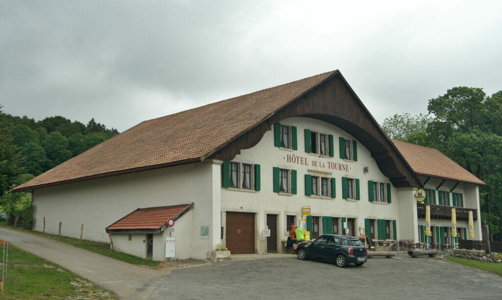
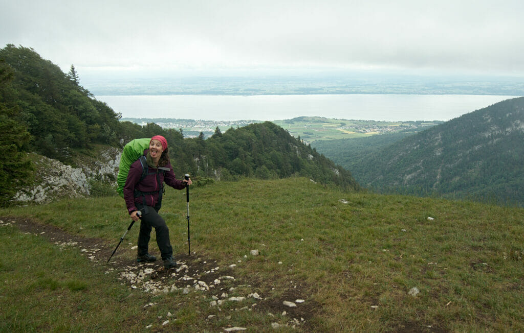
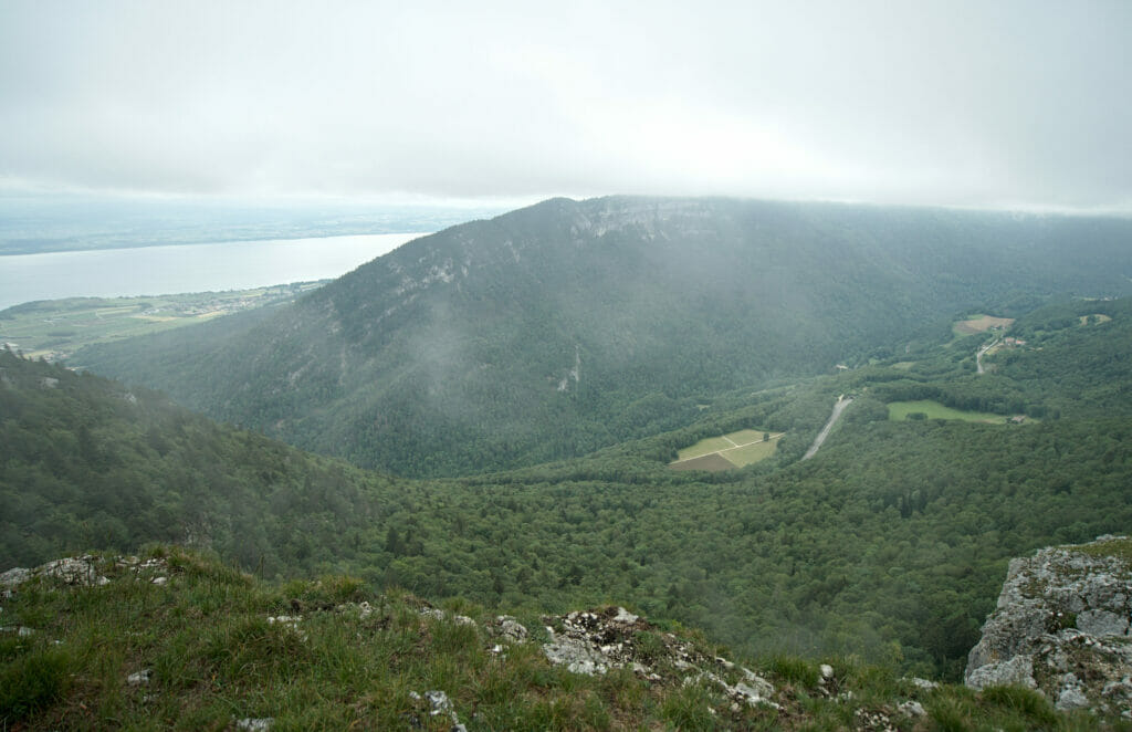
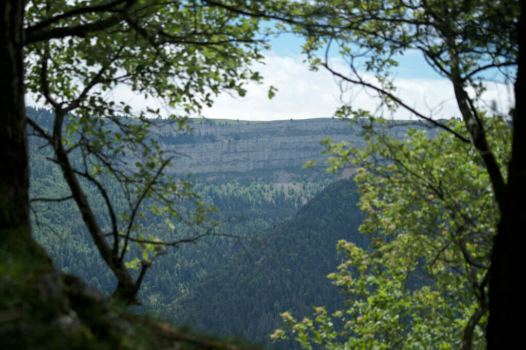
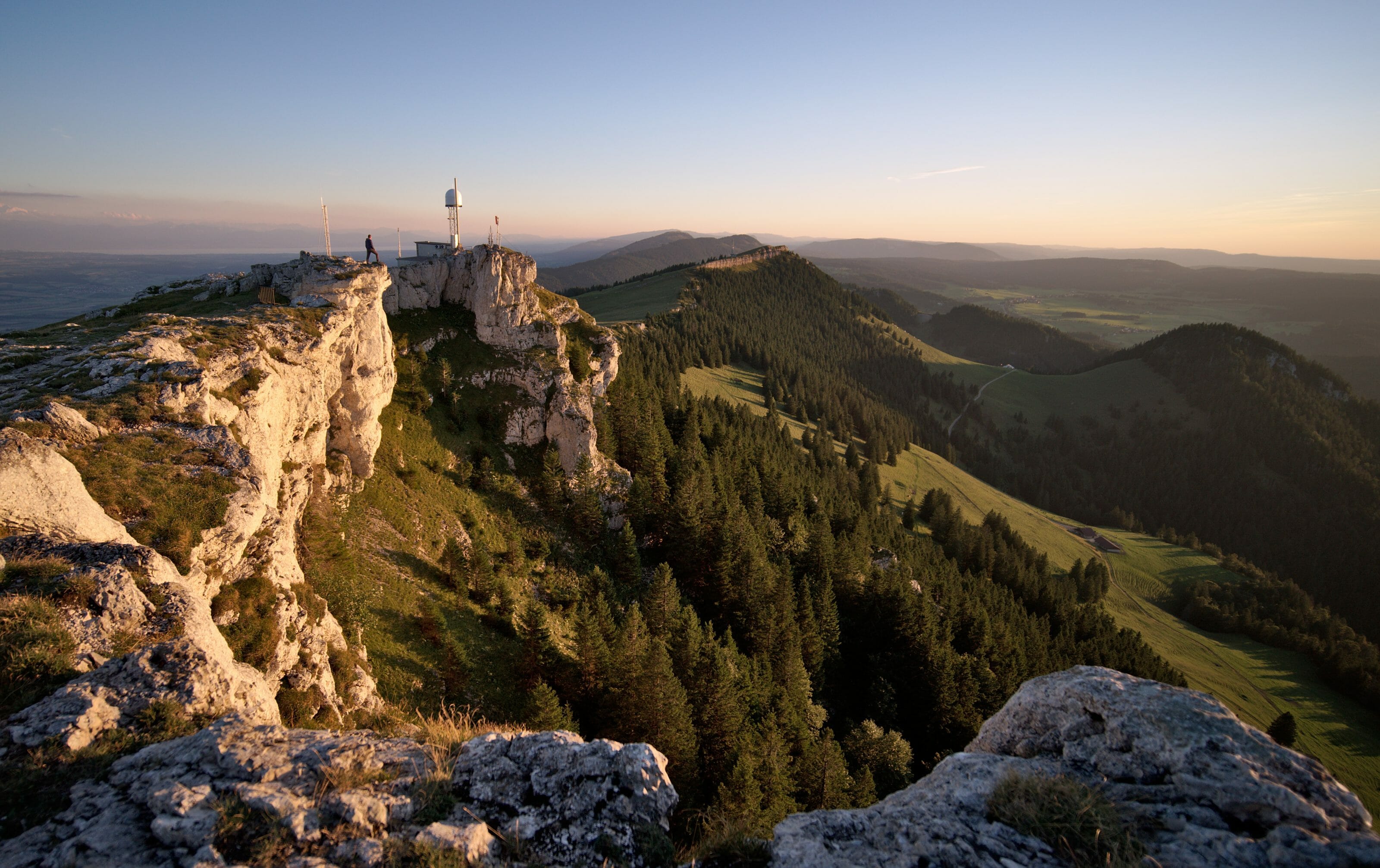
After this short break, we go back up towards the viewpoint of Les Tablettes overlooking Lake Neuchâtel and the entrance to the Val de Travers. Even if the weather is still cloudy, we have a magnificent view and we promised ourselves to come back here for a walk one day when the weather is nicer. We keep going in the direction of Noiraigue by following the balcony path overlooking the Areuse valley. On the other side of the valley we start to see the impressive rocky formation of the Creux du Van. But before reaching it, we first have to go down to the village of Noiraigue and then climb back up on the other side (it would be too easy otherwise, wouldn’t it?).
Useful Infos
- distance about 22kms
- denivelation 820m d+ et 1384d-
- duration 6h
- difficulty easy
- Notes In good wheather conditions this section has to be absolutely wonderful and we hope to come back one of these days. On our side, we decided to keep going up to the Soliat and sleep on the edge of the Creux du Van. But that’s 700m more d+ after an already quite long stage so we don’t recommend it for everyone.
the map of the hike:
Download this route on AllTrails
Hiking from Noiraigue to Creux du Van
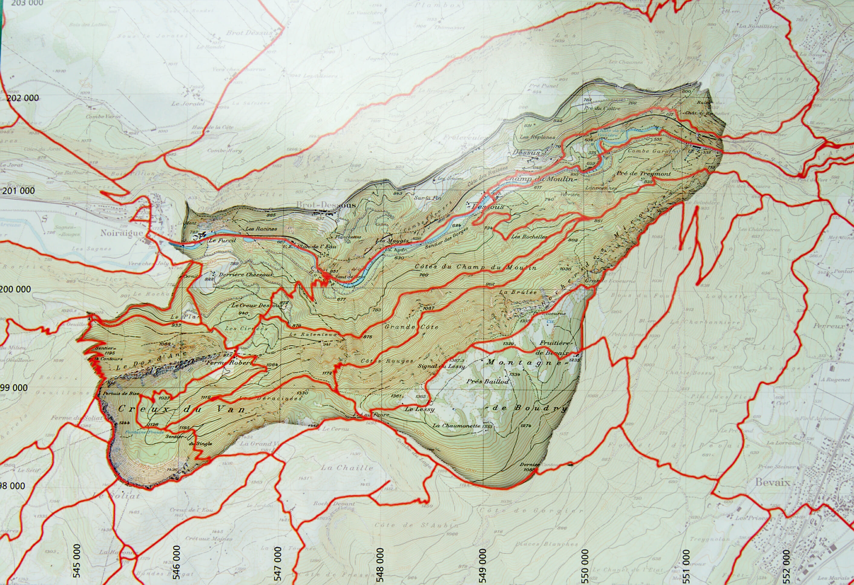
So to experience the famous Creux du Van, there are several ways to go about it. Either you have a car and you can park directly at the Soliat 300m from the Creux du Van, or you come by public transport and you will have to walk from the Noiraigue train station. I’ll give you some more practical information further down, but on our side, we obviously walked up from Noiraigue.
Note: You should also know that the whole area under the cliff from the Creux du Van to the Areuse is a Zone of Tranquillity for wildlife. Bivouacs are therefore strictly forbidden!
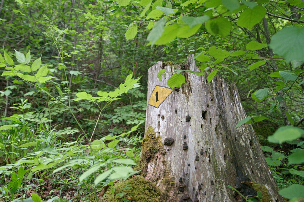
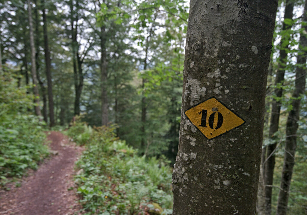
From Noiraigue we walk up 2,5kms to the “buvette des Oeuillons” before attacking the famous and well named “trail of the 14 turns” 😉 . On our side as we had already walked 24kms during the day, these 14 turns weren’t that easy! But beyond that, this path is not difficult at all with its 650m of climb for 4.5kms from Noiraigue. The funny thing about this trail is that at each turn there is a yellow marking with the turn number inside. So you know where you are in those 14 turns 😉
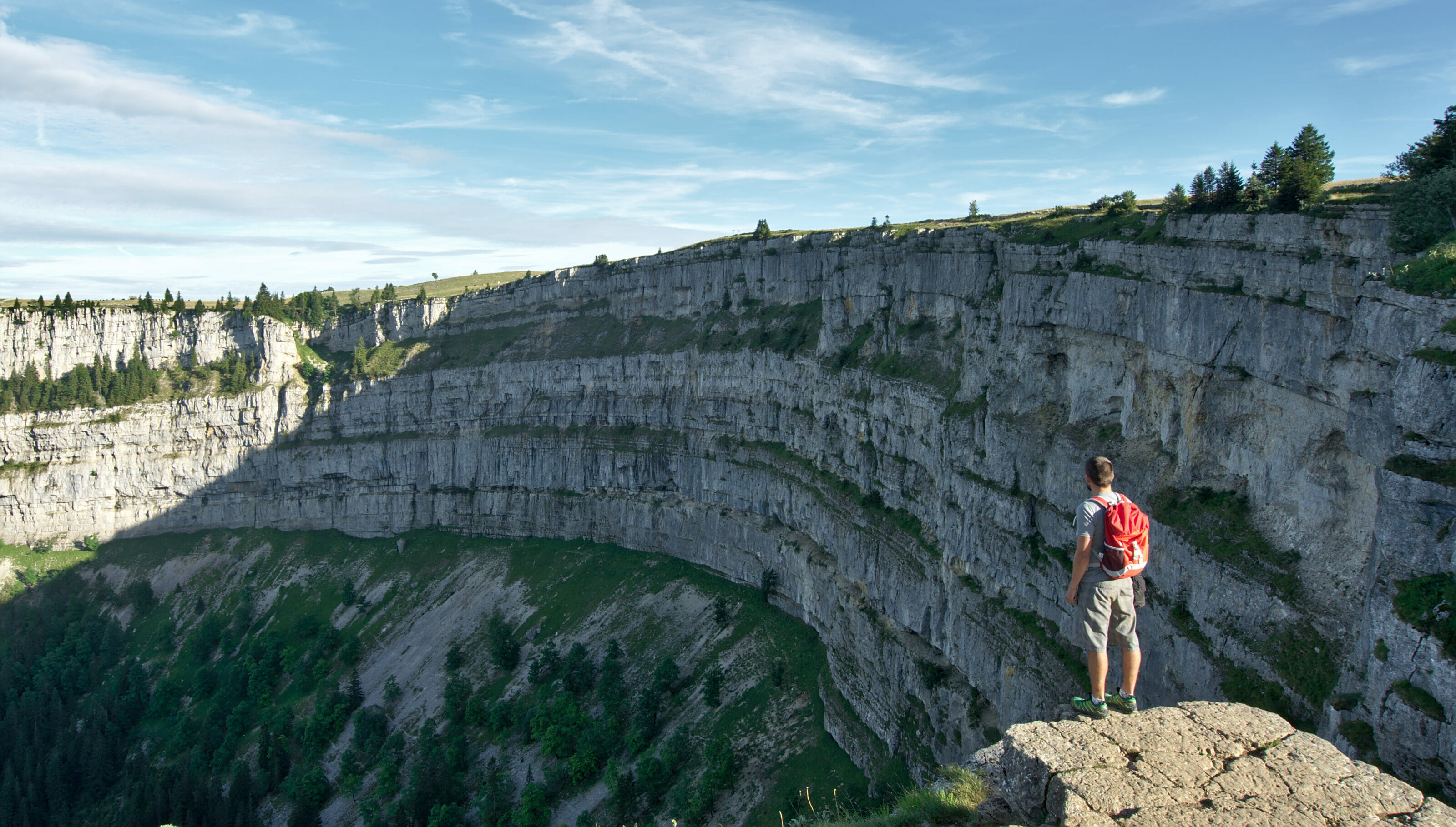
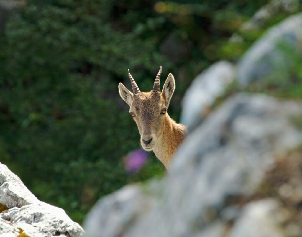
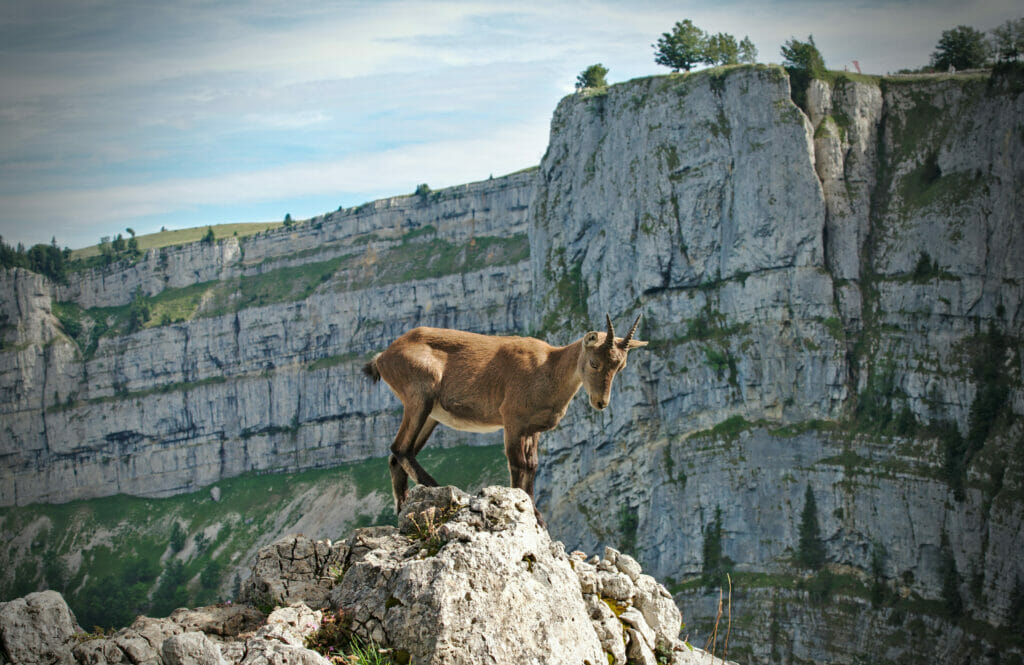
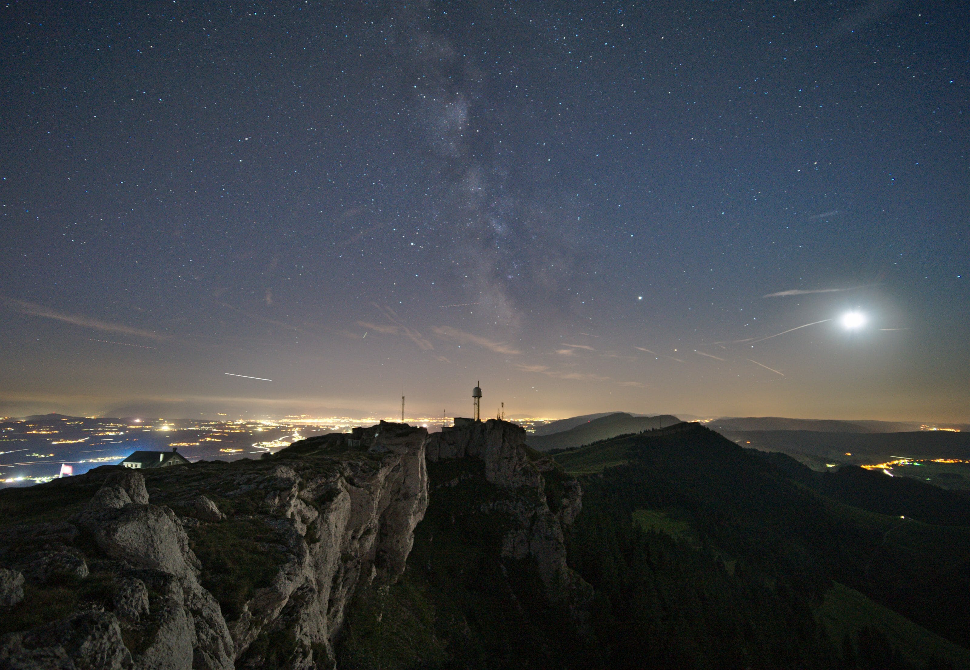
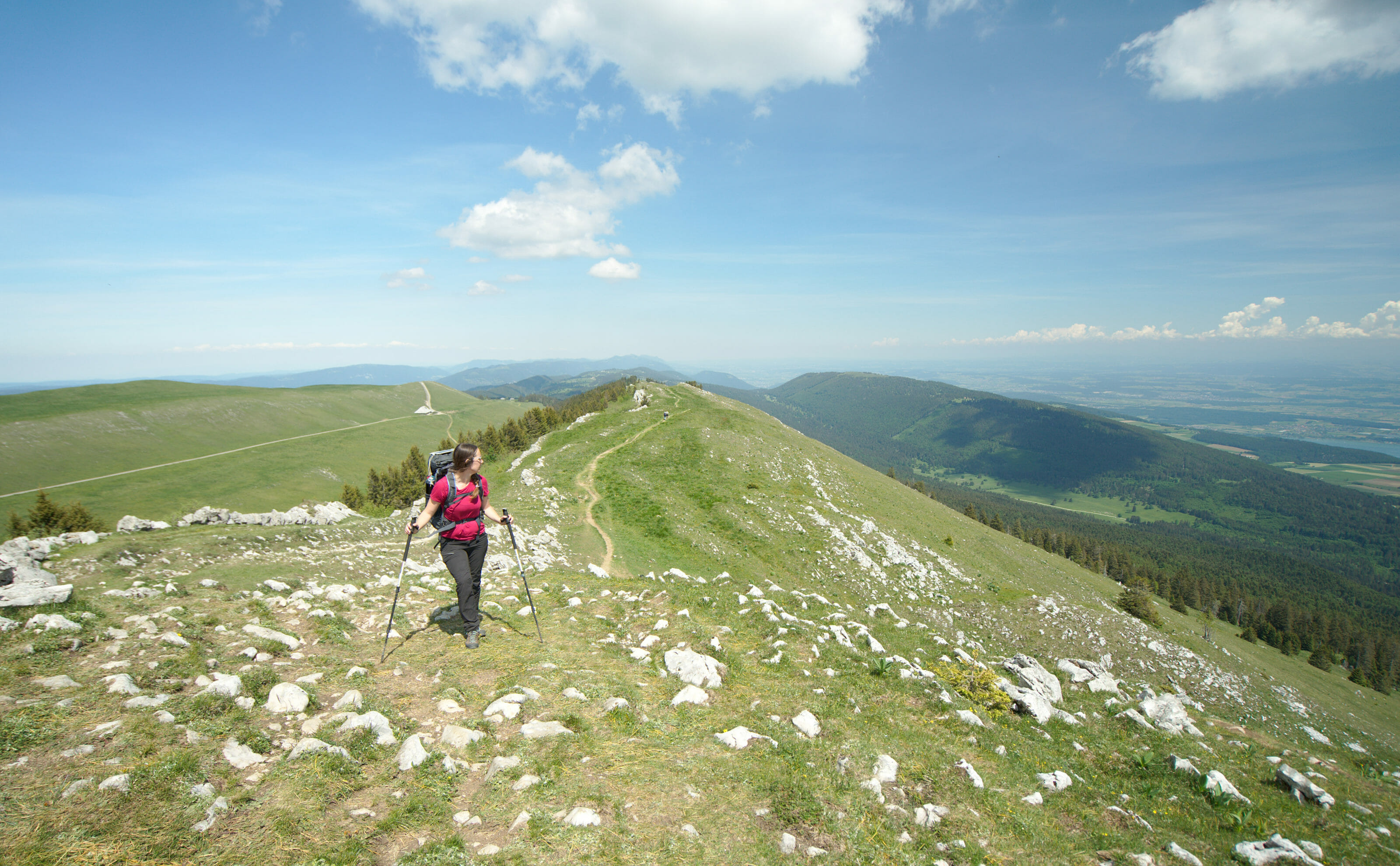
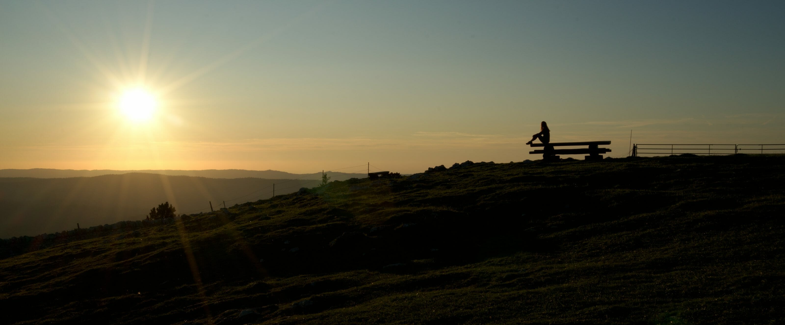
At the top you will be rewarded with a magnificent view of the Creux du Van rocky formations. As I told you, the weather was not very nice when we arrived at the top and we quickly went to take shelter at the chalet du Soliat. But on a clear day, this place is beautiful and while walking the path along the cliffs, you might be lucky enough to see ibexes or wild goats which are numerous around here. By the way, here are some pictures taken by Benoit during another walk in the Creux du Van on a summer evening… Quite nice, isn’t it?
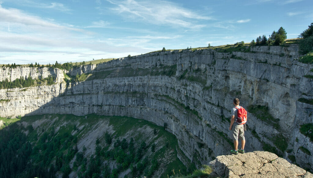
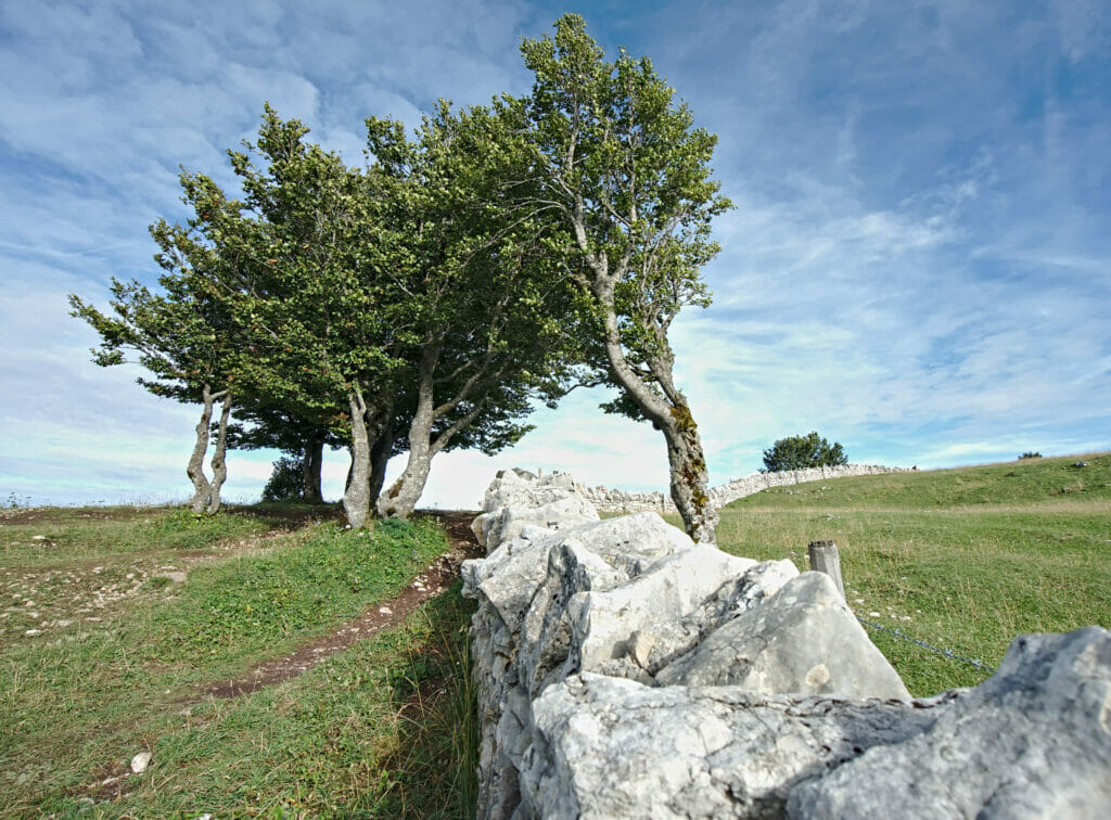
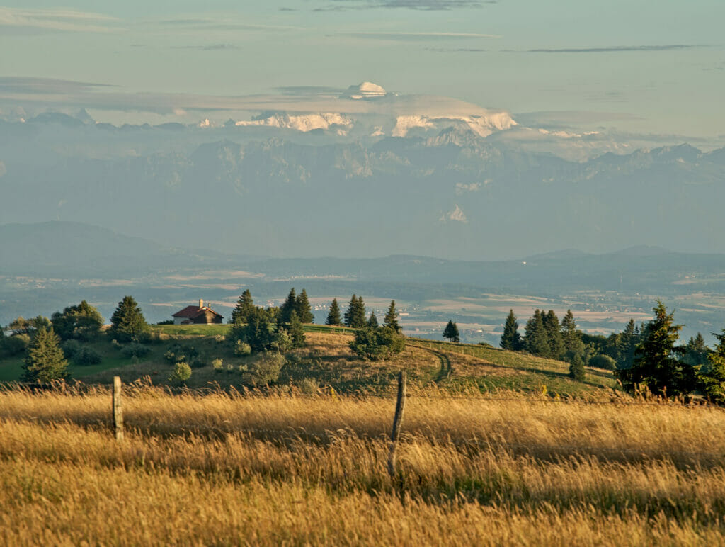
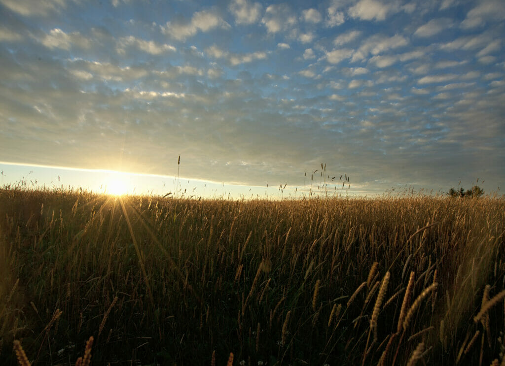
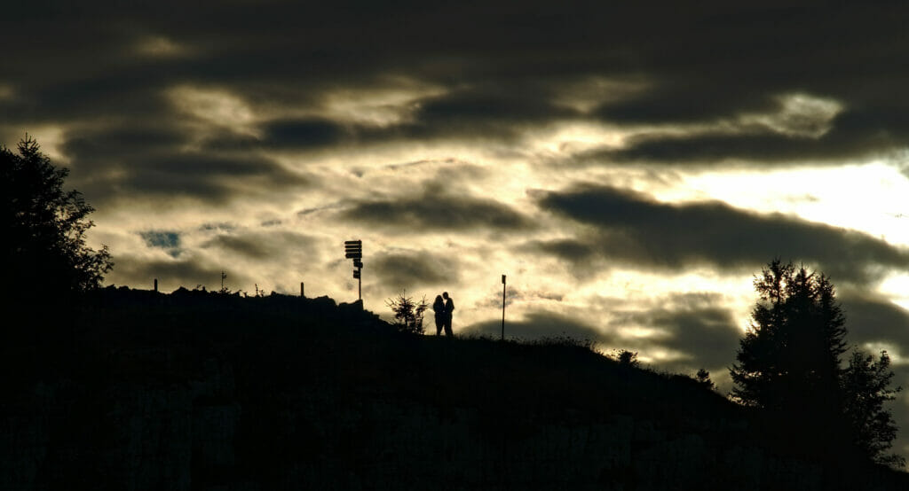
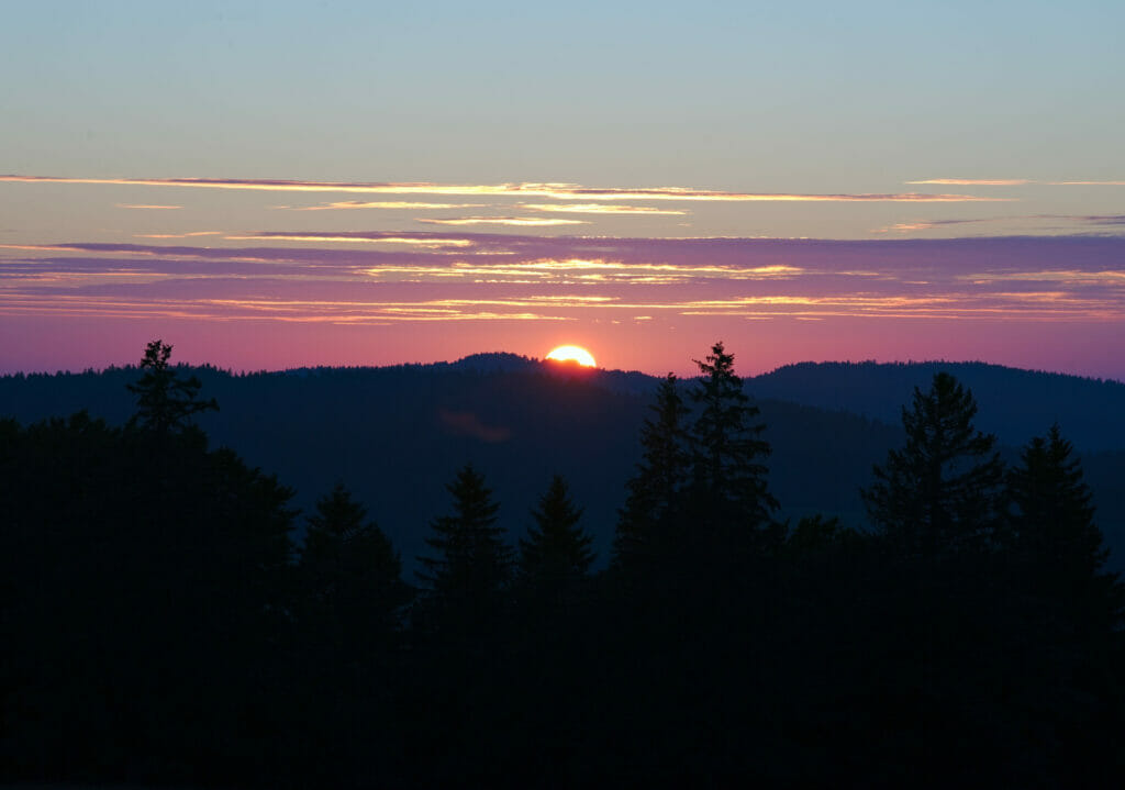
I also find that this place is particularly beautiful early in the morning or in the evening with the sunset lights. From the other side of the Creux du Van, we have a magnificent 360 degree view! You can see the lake Neuchâtel, the Alps and the Mont-Blanc.
For the hikers who have to go back to Noiraigue, there is a path that allows you to make a nice loop and that goes down the cliffs passing by the Robert farm. I put the map of the loop in the useful information below.
Useful Infos
- distance around 12.1kms for the full loop (4.5 kms to do the 14 turns hike)
- dénivelation around 1000m de d+-
- duration around 4-5h
- difficulty average
- when? The Creux du Van is a very touristy place. It’s best to come during the week if you can and avoid the crowds of weekends.
- Notes This loop is ideal for hikers arriving by train from Noiraigue (you can easily find the train timetables on cff.ch). If you are driving, you can park at the Soliat car park 300m from the Creux du Van (you can also do the loop without going down to Noiraigue).
- accommodations On our side we slept at the chalet du Soliat and we can’t say that we keep a great memory of it… As we were the only guests that night, we felt a little pushed to take a room when we would have preferred a dormitory. And for the evening meal, the only hot dish we could get was fondue (even if it’s good, it’s not the ideal meal for hiking the next day). As for breakfast, nothing to complain about, it was delicious. Otherwise you can also sleep (and eat) at the Robert farm at the bottom of the Creux du Van.
The map of the hike:
Download this route on AllTrails
From Creux du Van to the top of Chasseron
For those of you that are hiking the Jura crest trail, the next part of the hike will take you in the direction of Le Chasseron and its magnificent panorama of Lake Neuchâtel and the Alps. All the details about this part of Via Jura in the article below:
Read our blog post about Chasseron
I think you know everything about Creux du Van and the hikes to do in the area (even if we know that there are other hikes like the one in the Areuse gorges that we would like to do one of these days). As I told you, it’s a beautiful place but very popular, so try to come here during the week if you can. In order to protect this wonder of nature, also make sure to be respectful by staying on the trails, by not scaring animals, by picking up your trash and by avoiding bivouac (in the natural reserve).
And as usual if you have any questions and/or suggestions, do not hesitate to leave us a message in the comment section below.
Pin it


Join the discussion