When you think about backpacking in Turkey, the first two places that come to mind are clearly Istanbul and Cappadocia (kapadokya). The landscapes of Cappadocia are known throughout the world for their incredible geological forms (fairy chimneys), their colours and their cave villages (or more recently the hundreds of hot air balloons at sunrise). So of course we had planned to spend a few days there to discover all the wonders we had been told about so often.
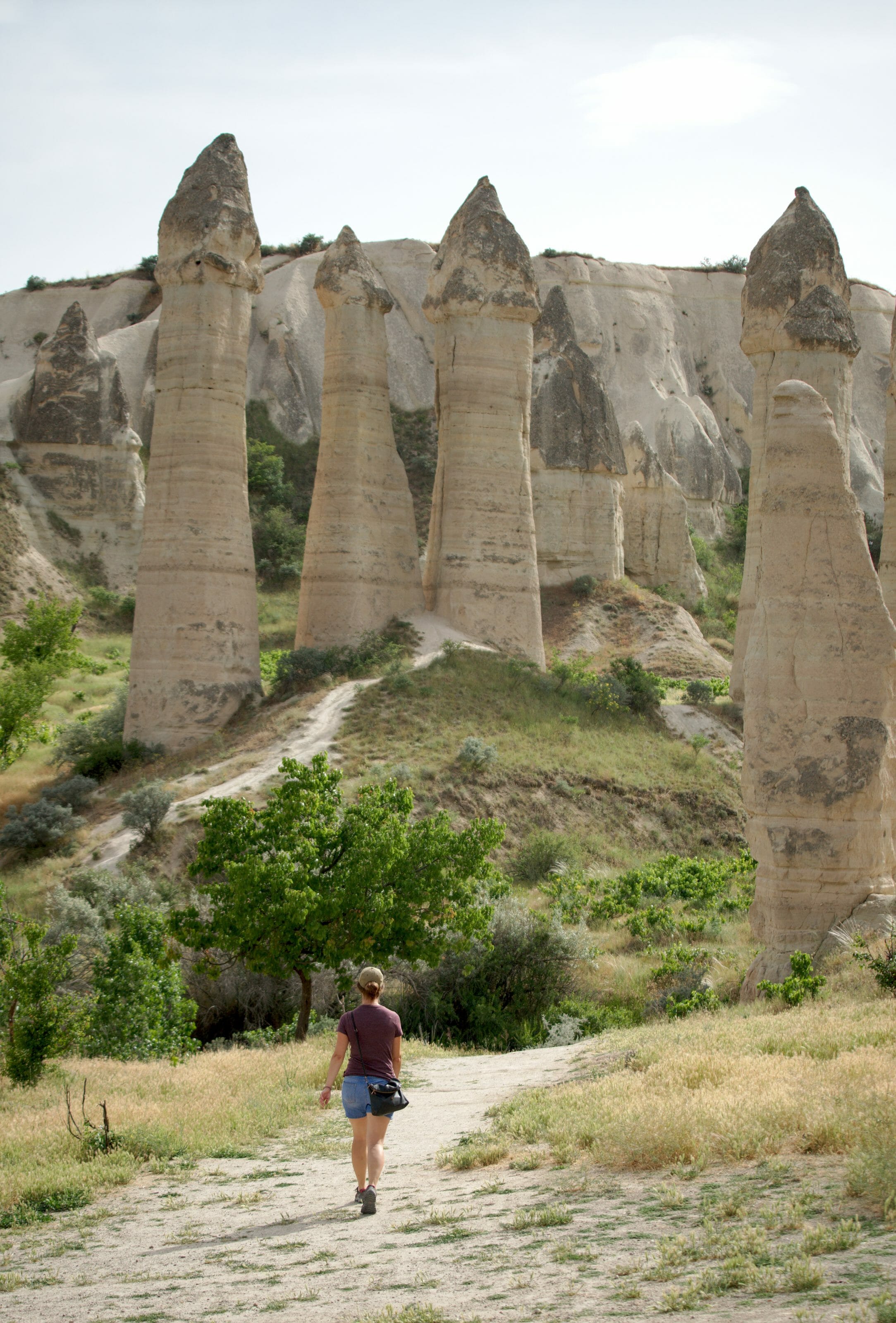
But a world-famous region also means a lot of people! Almost 3 million tourists visited Cappadocia in 2018! Villages like Göreme or Uchisar are saturated with visitors and the places accessible by car are literally overcrowded. So we asked ourselves a very simple question:
How can we enjoy Cappadocia away from the crowd?
And as you will see in this article, the answer is very simple: you have to hike a little! As usual, it is only necessary to move a little further away from the roads or car park to find yourself absolutely alone (as for Hierapolis in Pamukkale). And it is also by hiking in the heart of the valleys of Cappadocia that you will discover the most beautiful landscapes or cave churches. Especially since there are so many marked trails just waiting to be discovered.
So are you ready? We take you with us to discover Cappadocia by walking.
- The map of the cappadocian valleys
- Where to stay to hike in Cappadocia?
- 2 useful apps to hike in Cappadocia
- A little bit of geology
- Loop Göreme - Love - White - Uchisar - Pigeon - Göreme
- Loop Göreme - Pigeon - Zemi - Görkündere - Göreme
- Loop Göreme - Red - Rose - Sword - Göreme
- Loop Göreme - Red - Akdag - Zvelve - Cavusin - Göreme
- Other hikes we could have done
The map of the cappadocian valleys
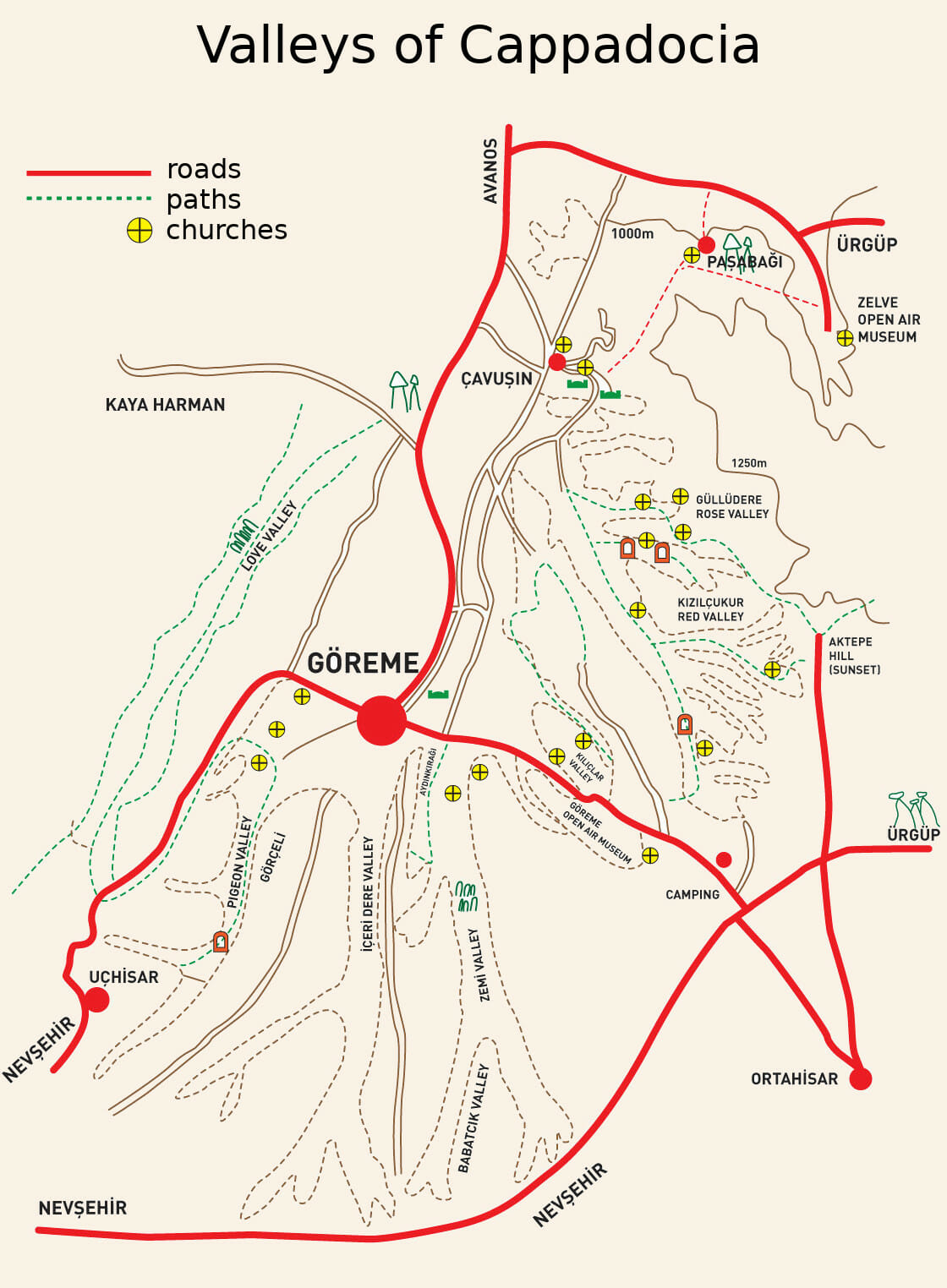
The first thing that is interesting to know is that in fact many of the points of interest to visit (except the Ihlara Valley and some underground cities) are concentrated in the same place, within a radius of a few tens of kilometers around the village of Göreme. As you can see on the map of the valleys in Cappadocia below, Göreme is located a little like the crossroads of most valleys:
Where to stay to hike in Cappadocia
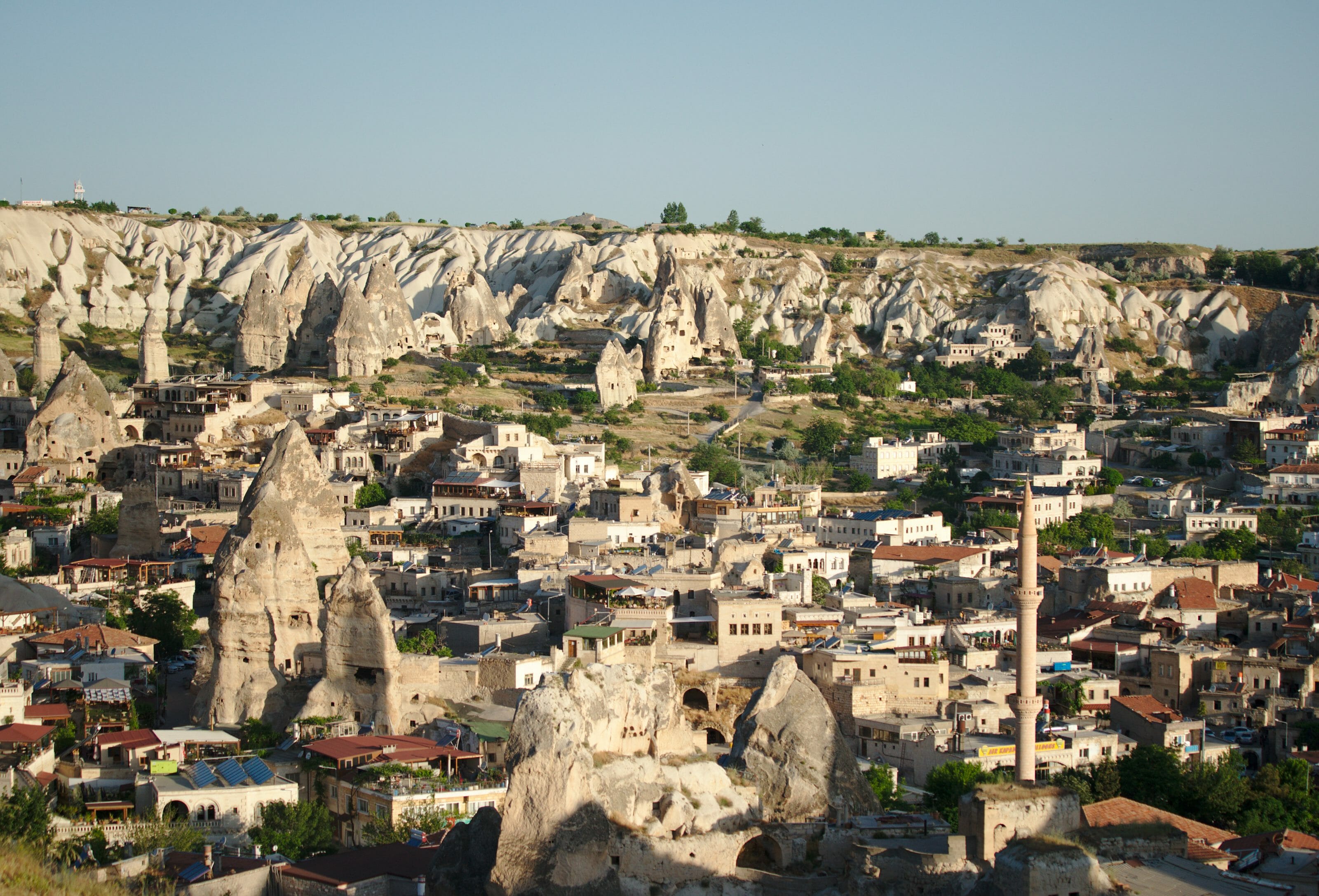
So even if it is the most touristic village in Cappadocia and we had been advised to stay in Avanos or Cavusin, we would rather recommend you to stay in Göreme for several reasons:
- As you can see on the map above, Göreme is located in the heart of the various interesting sites of Cappadocia and you can do absolutely everything on foot from Göreme! It is the ideal base for hiking. In addition many buses (dolmus) pass through Göreme which also allows you to explore the more distant corners by bus (underground cities, Ihlara etc...).
- As it is a very touristy village, the accommodation offer is huge. So even if there are great 5-star cave hotels that are really expensive, there are also quite a few cheap backpackers that will allow you to visit Cappadocia on a small budget. We first stayed 4 nights at Ali's Pension which offers cheap rooms and dormitories with a good breakfast. And we ended up with 2 nights at the Köse pension which is in the same prices but which has a great swimming pool in addition. But you will necessarily find your happiness by comparing the offers on Booking
See all hotels in Göreme on Booking - And even if Göreme has a little Disneyland feel with all its restaurants and shops, the village is quite pretty. It's also cool to have small supermarkets (to buy picnic) and lots of options to eat and have a drink in the evening after a good hike. On the other hand, the price of restaurants is clearly higher than elsewhere in Turkey.
Here is a map on which you can find at a glance the different hotels but also the apartments in Cappadocia. Remember to adjust the filters to refine your search:
3 useful apps to hike in Cappadocia
 As for the Lycian way, I recommend the Trail Smart application which contains a very complete dataset about the paths in Cappadocia (see on Google play and iTunes store)... I was explaining you how to use this app here. Otherwise I obviously recommend Maps.me once again which is just essential to have all the hiking trails and points of interest offline.
Or else, the application we use every day is Alltrails (you can find the hiking maps in this article made with this application). For each map, we put a button to download the track in the format of your choice (GPX, KML, Garmin, etc.). If you don't have an account yet, you just have to create one (it's free) in order to allow the download of our tracks!
PS: you can also find all our Alltrails tracks in Capadocia in one place by clicking here.
How did the valleys of Cappadocia formed?
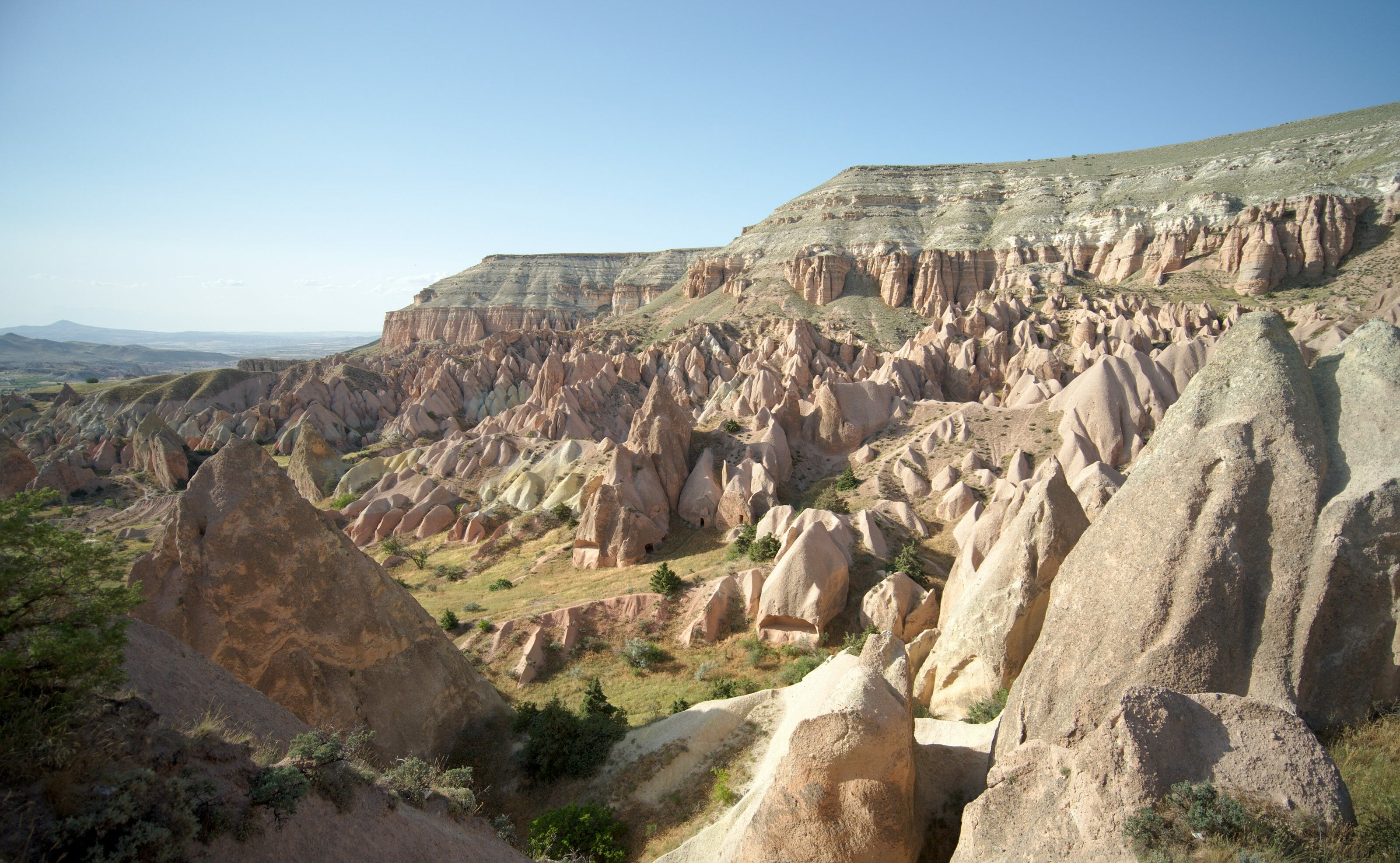
A very long time ago (10 million years ago to be exact 😉 ), several volcanoes erupted in the region covering present-day Cappadocia with lava, forming a layer of 100 to 150m of volcanic tuff (a particularly friable rock). With the cold this layer cracked and then the rain and wind took care of sculpting over the years the "fairy chimneys" that are so famous nowadays.
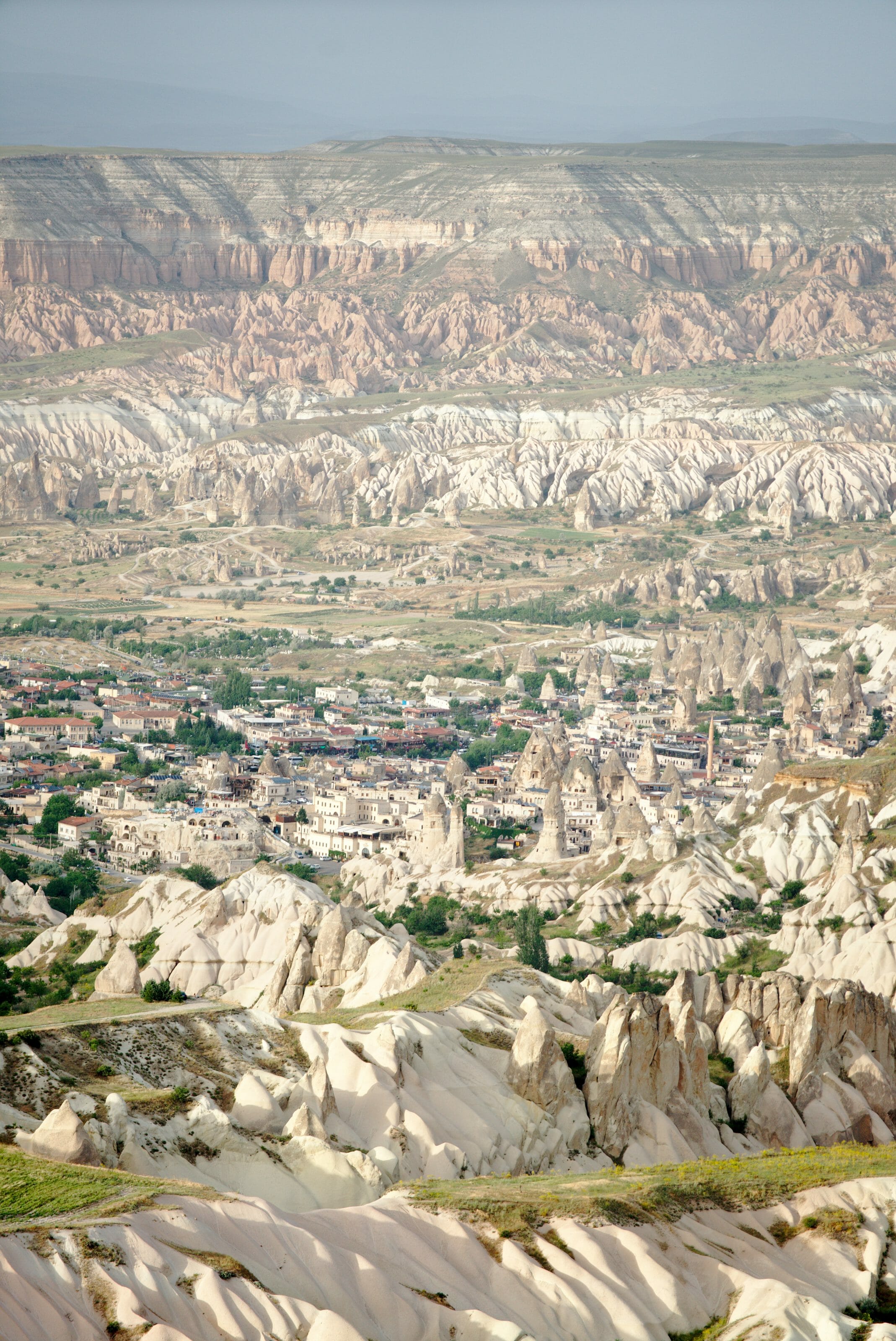
These chimneys were later dug by men and used as dwellings, churches or pantry. It is important to note that the chimneys acted like natural air conditioning: indoors it was warmer in winter and always cool in summer. Today the entire area containing these cave villages and underground cities is protected as a UNESCO World Heritage Site.
In our opinion, the best way to discover Cappadocia's hidden treasures is to go hiking. The hiking trails are very well marked and it is also the only way to reach some churches, valleys or castles that are not otherwise accessible. And of course, it is also the best way to get away from the crowd and enjoy these magical landscapes in a calm atmosphere.
In the following section, I suggest 4 loops from Göreme that cover most of Cappadocia's points of interest. These routes are all a bit long but some can be shortened by taking a bus to/from a village or by removing some parts.
Loop Göreme - Love - White - Uchisar - Pigeon - Göreme
Useful Infos
- Distance 11.8 kms
- Deniv. +- 370m
- Duration 4h
- Difficulty moyenne
- Hour Go to Love Valley for sunrise to atch hot air balloons (see article on the best spots for sunrise) and continue the hike afterwards.
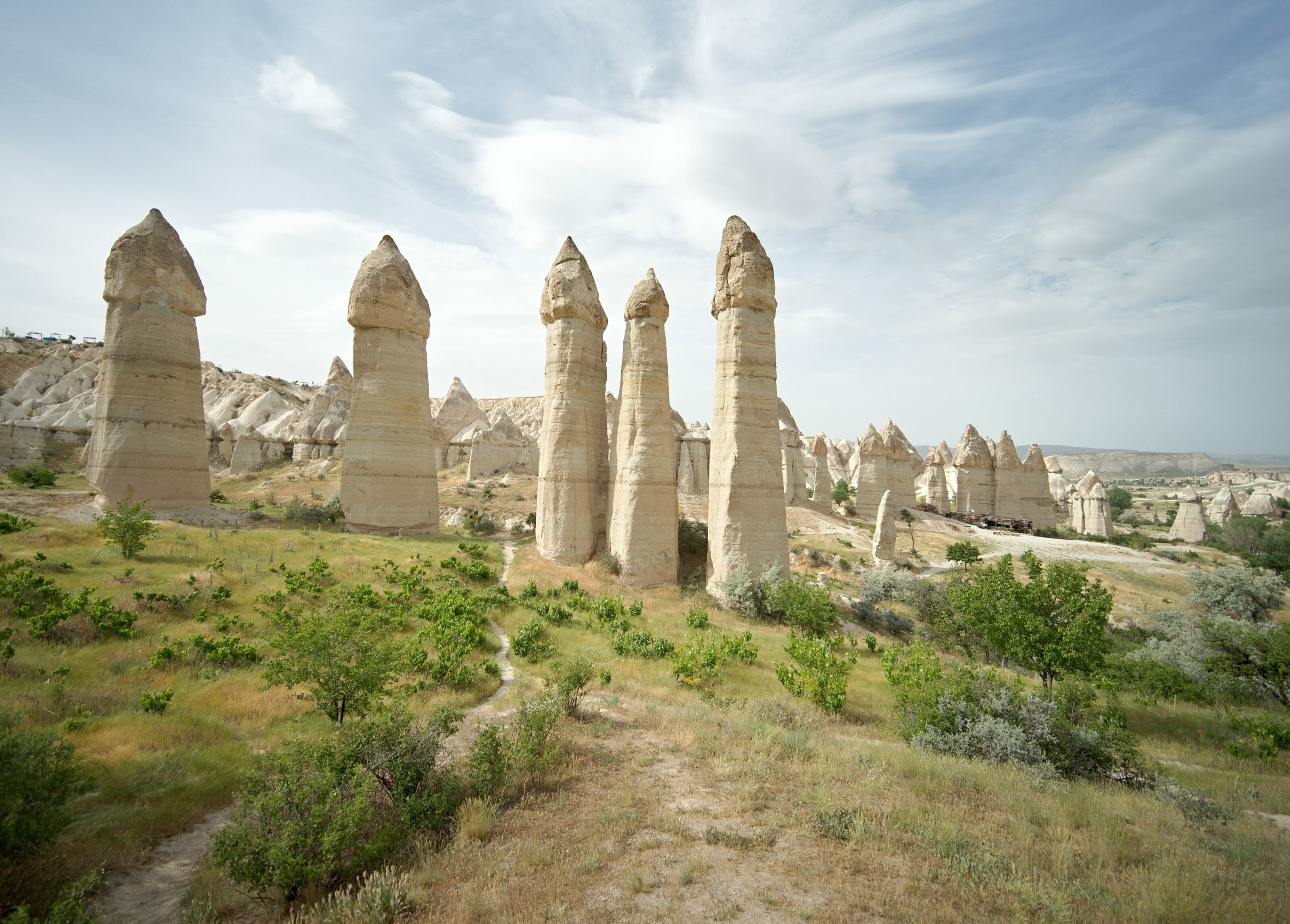
We start with a very nice loop from Göreme which passes through the famous love valley (we'll let you guess why it's called that way 😉 ). It is also unfortunately the only hike Fabienne was able to do during our stay in Cappadocia because she got sick afterwards (having a cold by 30 degrees!)... So unlucky that happened in Cappadocia 🙁
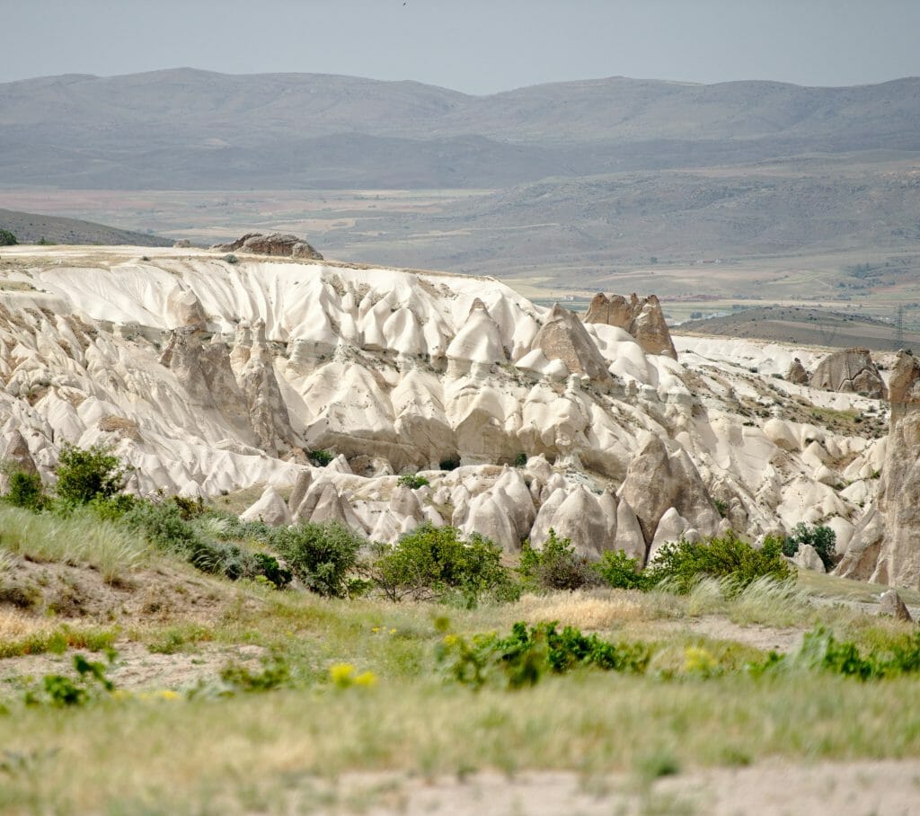
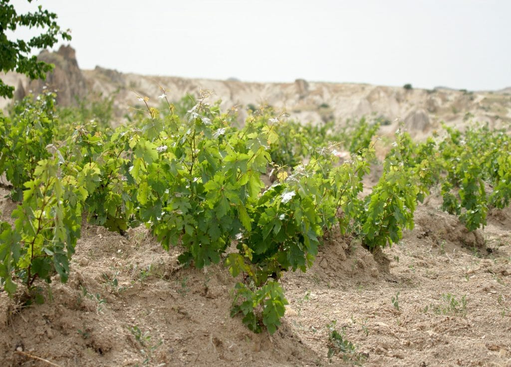
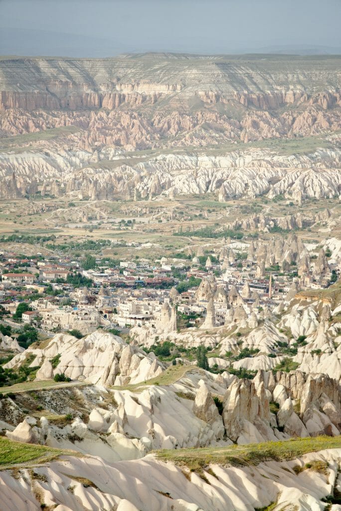
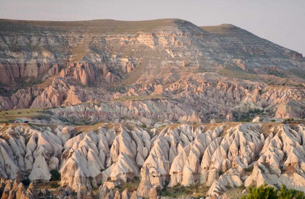
We leave Göreme along the road that goes up towards Uchisar to take a track that goes right into the vineyards (and yes Cappadocia is the most famous region in Turkey for wine). We continue on for about 2kms with a magnificent panorama on the pink/red valley on our right and on the left the love valley which reveals itself.
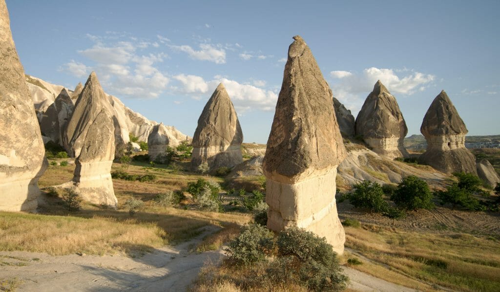
We then take a small path that goes down into the valley of love on our left to a track. We go up the valley following the track before taking a path on the right that leads us through these rock formations that look like asparagus (or other things we'll let you judge 😉 ). There is also a kind of small café with a particularly nice view.
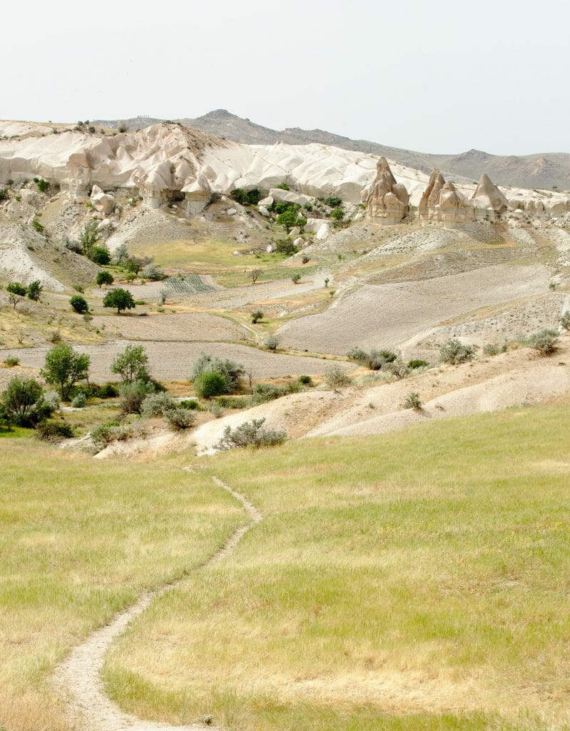
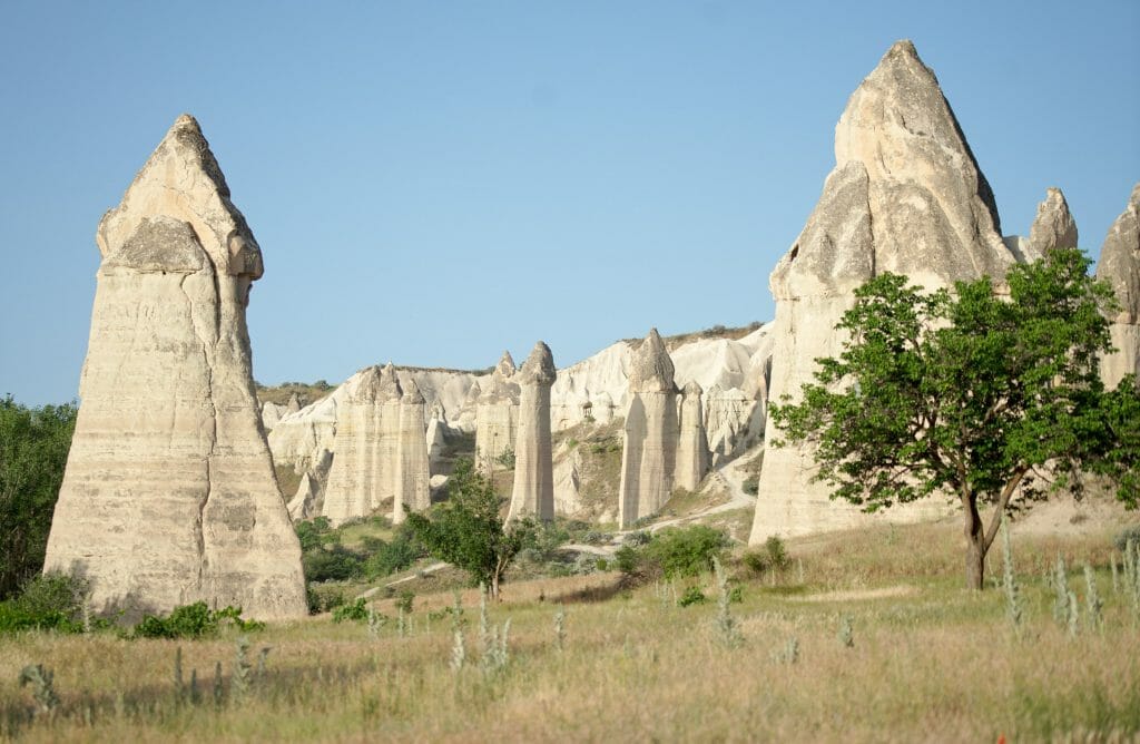
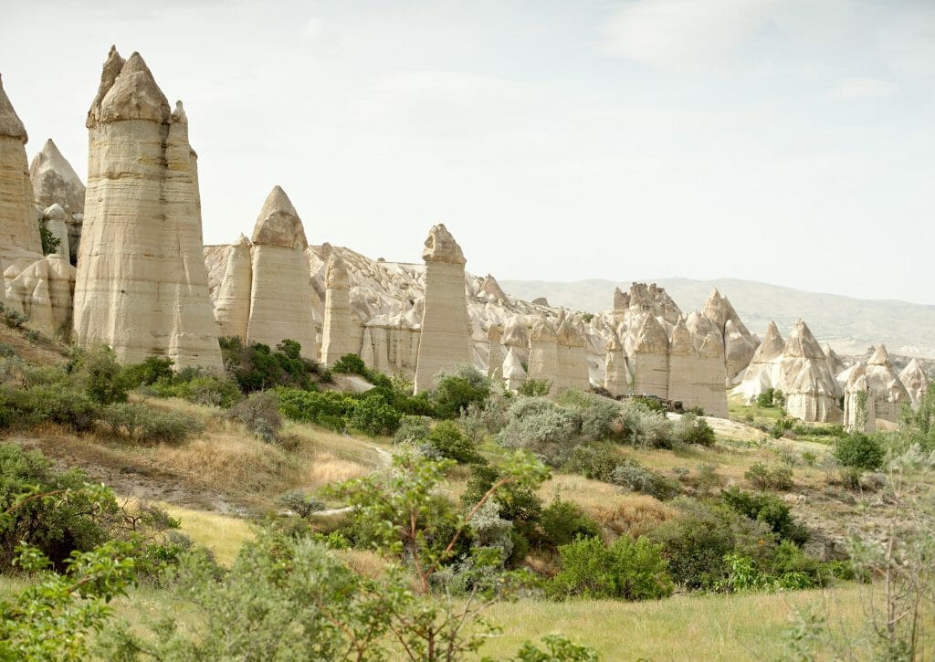
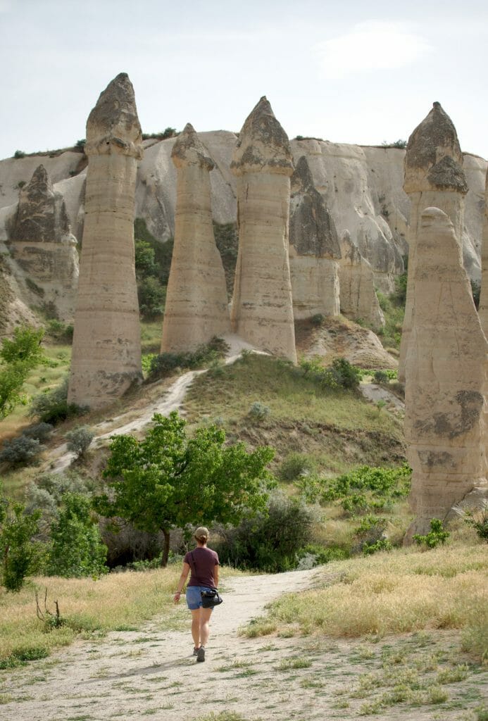
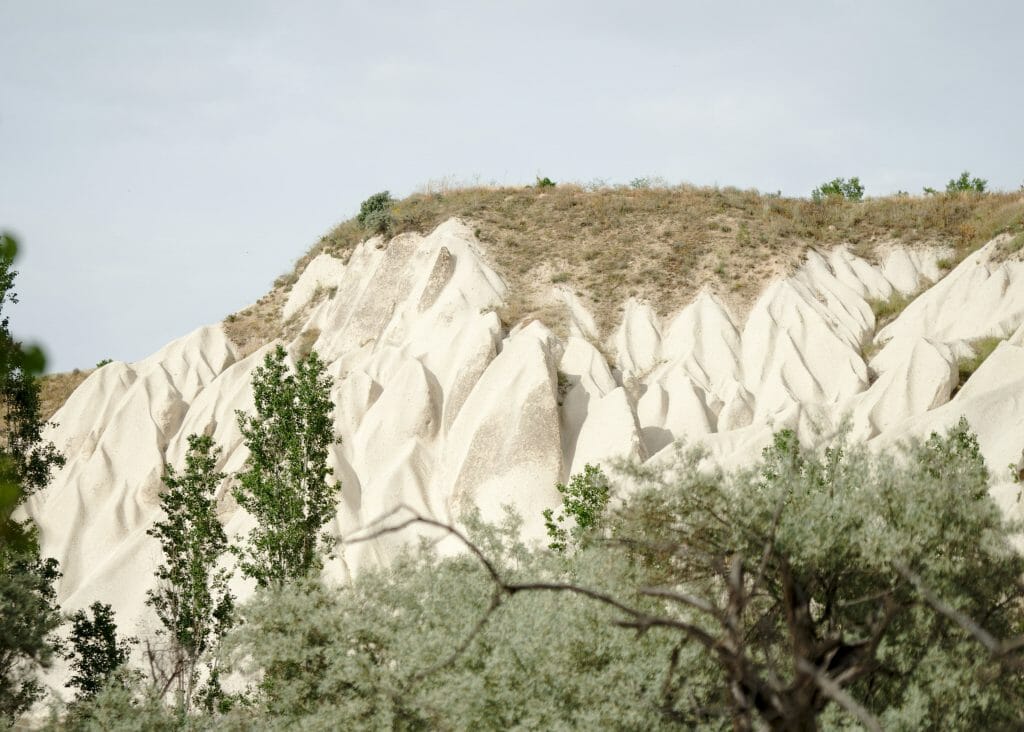
We thus go up the love valley then the white valley for about 3 kms. Fairy chimneys are gradually disappearing to give way to other geological forms that are no less beautiful.
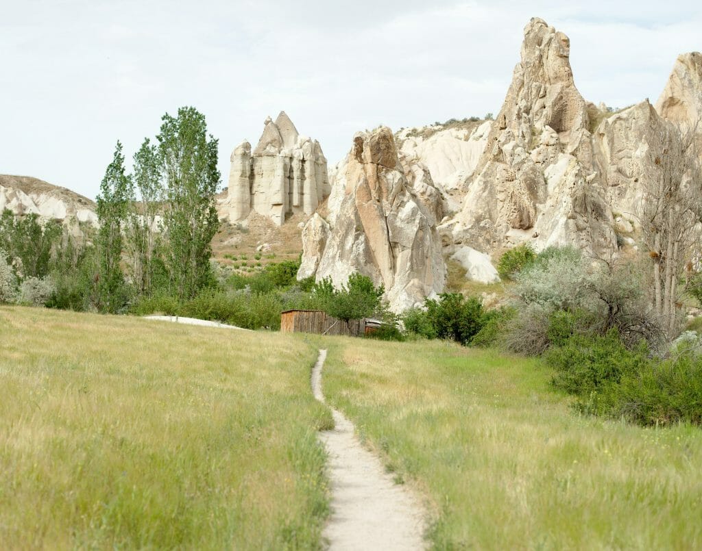
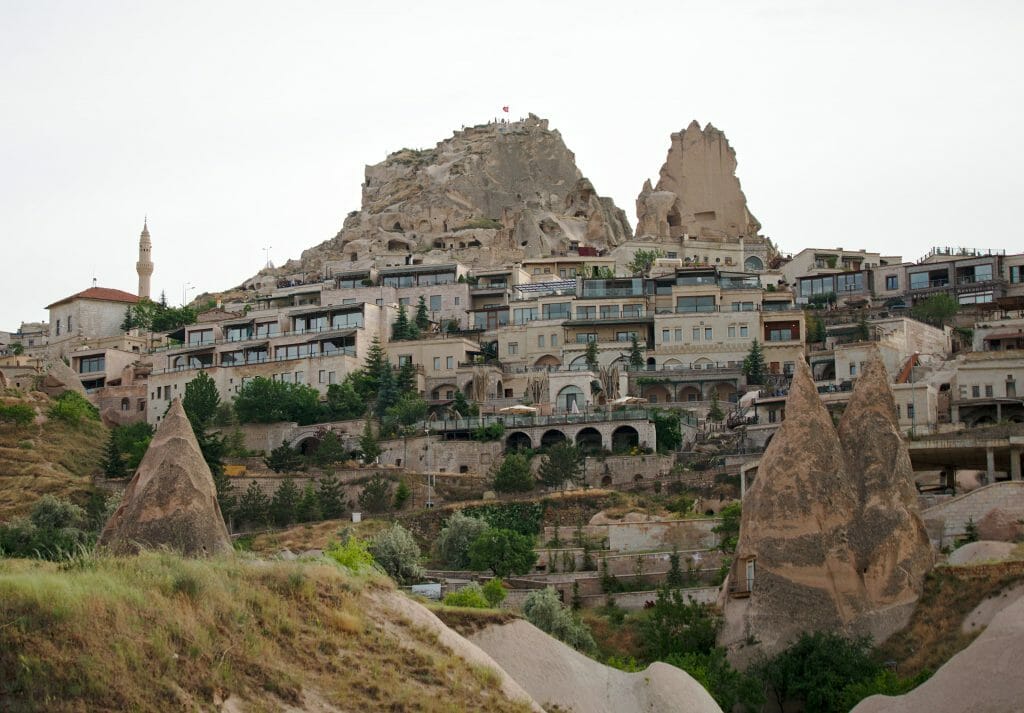
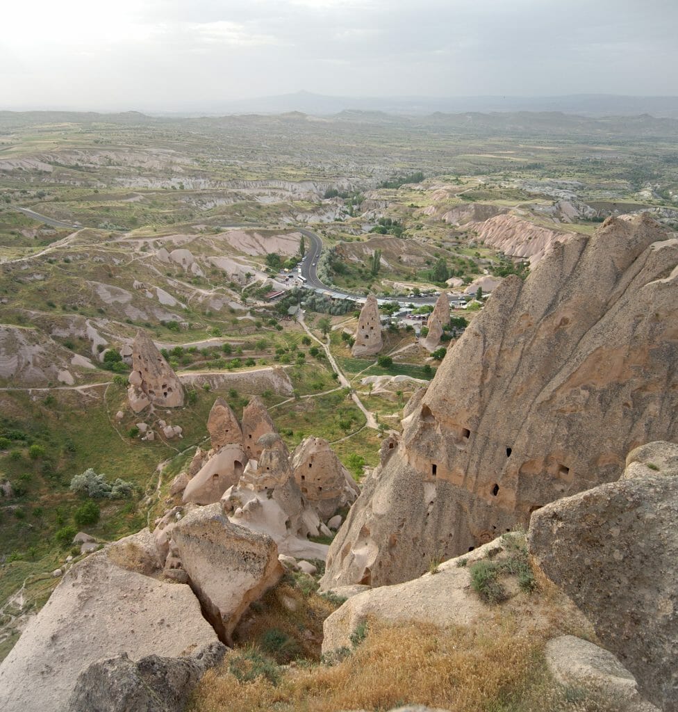
We thus arrive at the bottom of the village of Uchisar and its imposing castle. We really recommend that you climb to the top because the view from above is simply breathtaking (Price: 55TL per person to enter the castle, price August 2022). Judge for yourself 😉
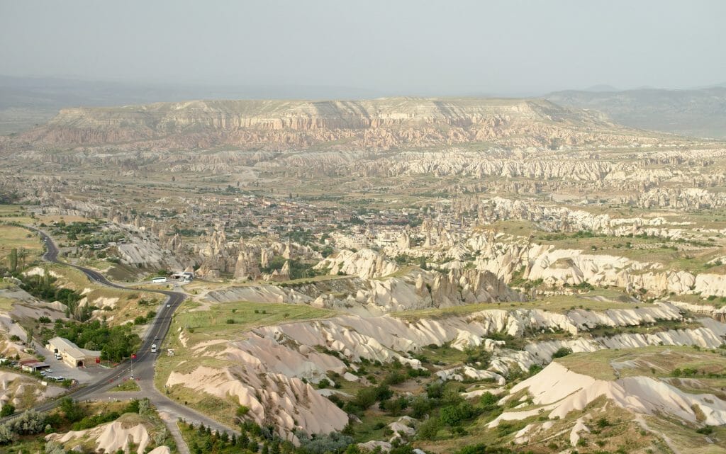
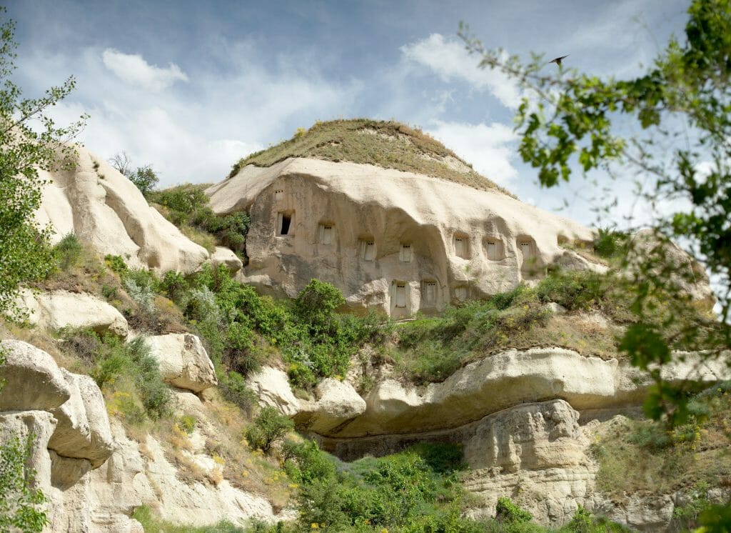
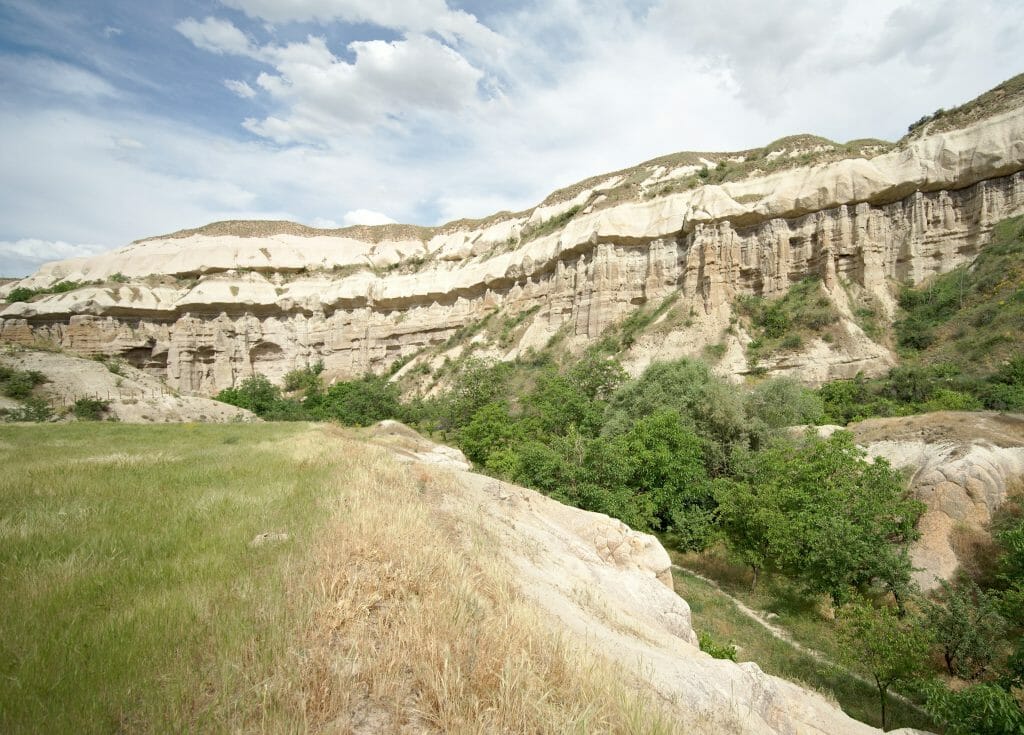
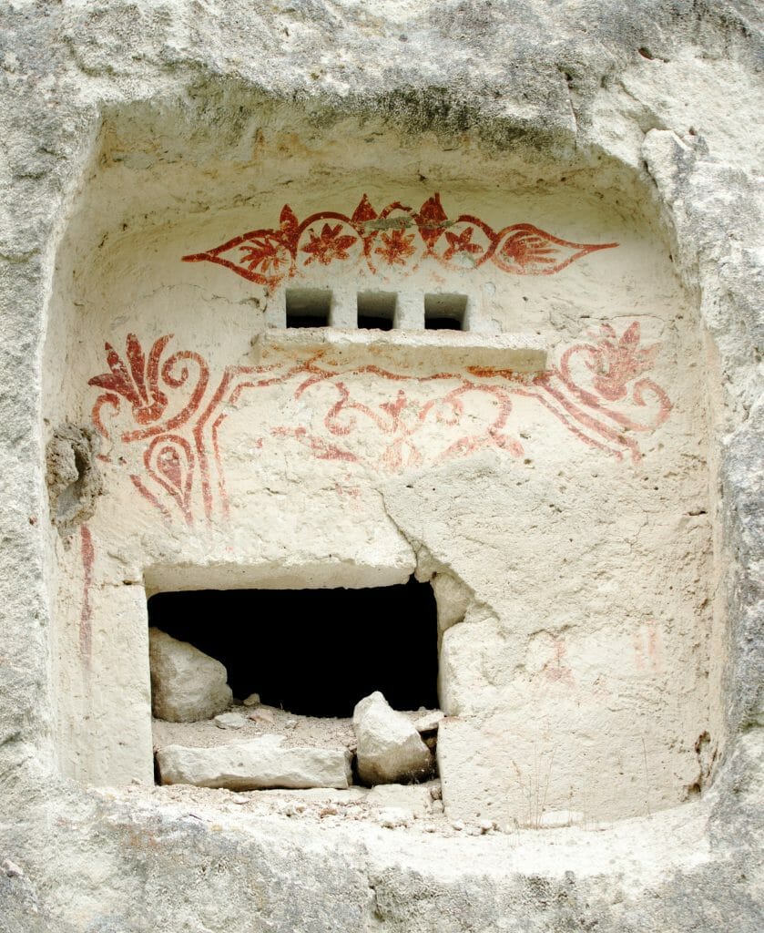
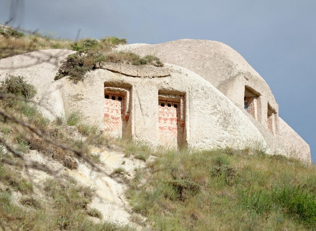
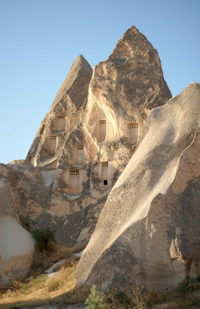
We then go down from the village into the pigeon valley, named after the hundreds of pigeon houses that you will see dug in the cliffs along the path (at the time, people used pigeons as messengers but also their excrement as fertilizer). You have to be careful not to go down to the bottom of the valley (it is a dead end) but to stay on the left side to pass in front of a small tea garden. The trail then continues quietly down into the valley to reach the village of Göreme after 2kms.
If you prefer to be with a guide or discover the area independently with a bike, here are a few activities on Getyourguide you might find interesting:
Loop Göreme - Pigeon - Zemi - Görkündere - Göreme
Useful Infos
- Distance 13 kms
- Deniv. +- 360m
- Duration 4h30
- Difficulty average
- Hour I recommend to start the hike with the pigeon valley around 3-4pm (and finish at sunset above Göreme) or at the viewpoint above Görkündere for sunrise and then hike in the other direction.
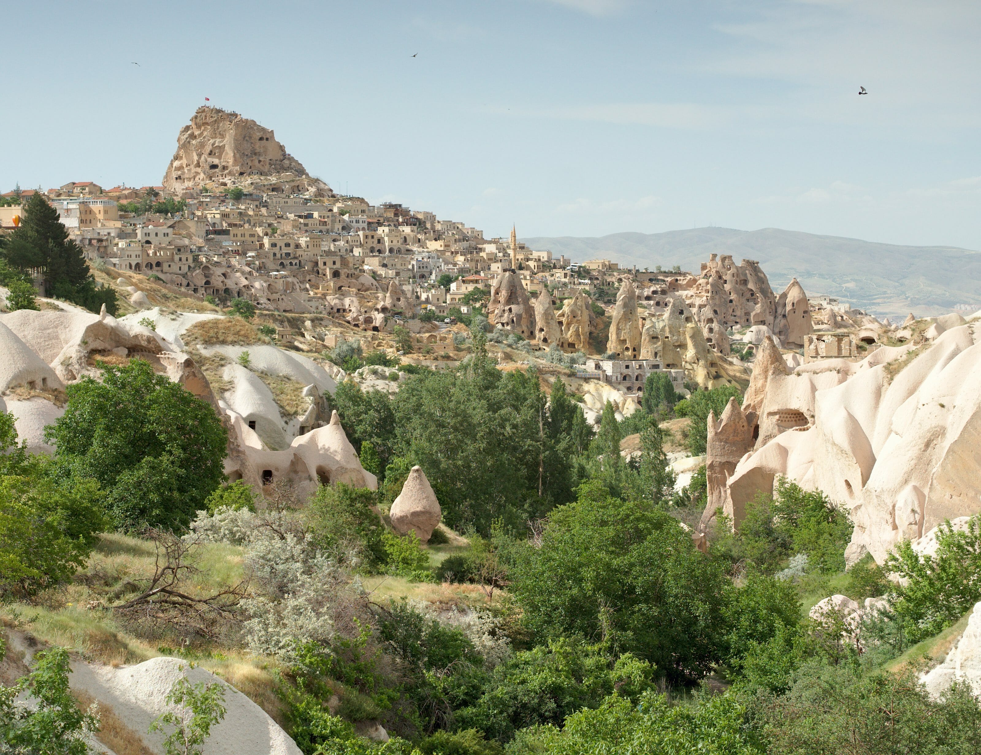
We start again from Göreme to go up the pigeon valley in the other direction. This time, instead of going up to the village of Uchisar, we stay in the valley until the end. I took a little more time to observe all these dovecotes, some of which are richly decorated.
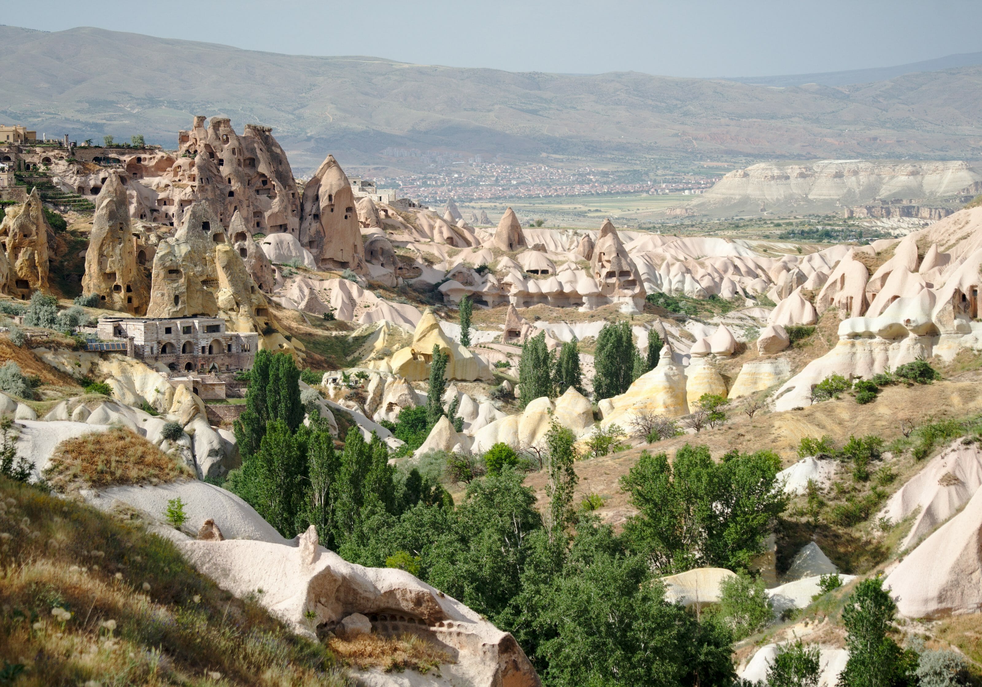
At the end of the valley, there is a fantastic view of the whole valley and the village of Uchisar. However, I recommend that you take advantage of this view before going up to the road because the route then passes through the "pigeon valley viewpoint" where all buses and cars stop. I can tell you there are many people per square meter at this place 😉 .
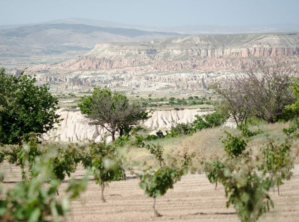
We quickly move away from the crowd by taking a left on a track to reach the Zemi Valley. The track still crosses vineyards with a nice view of the pink and red valleys in the background. After maybe 1km, we reach the top of the valley which will then take us back to Göreme.
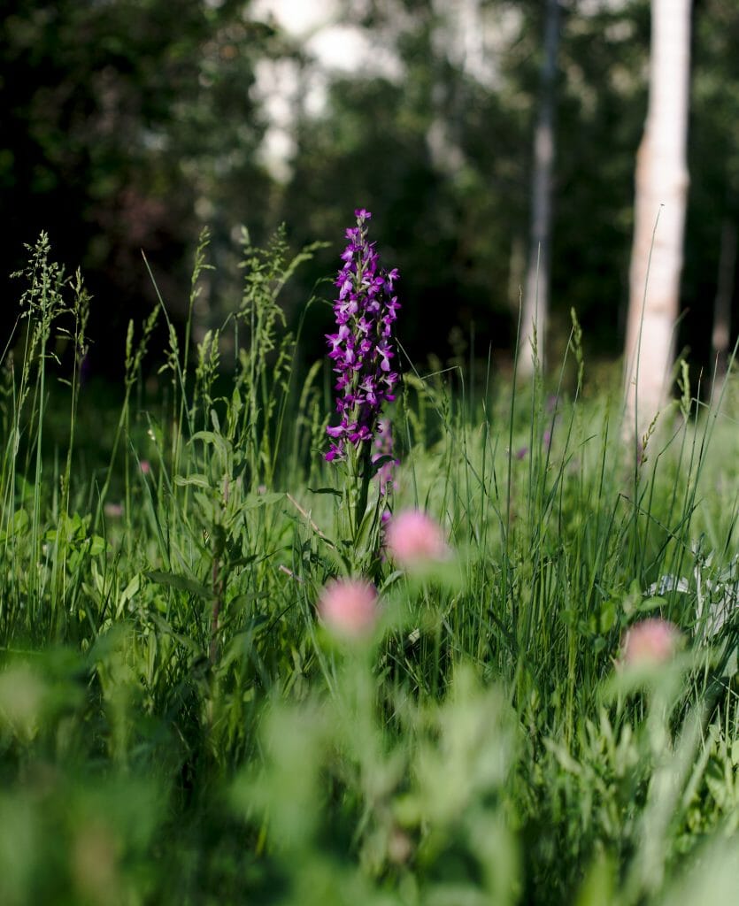
The Zemi valley is very green and most of the time we walk in the shade of the trees. After 1km in the valley, we arrive at an intersection and I recommend you climb for a short round trip to 2 small cave churches that are worth a look.
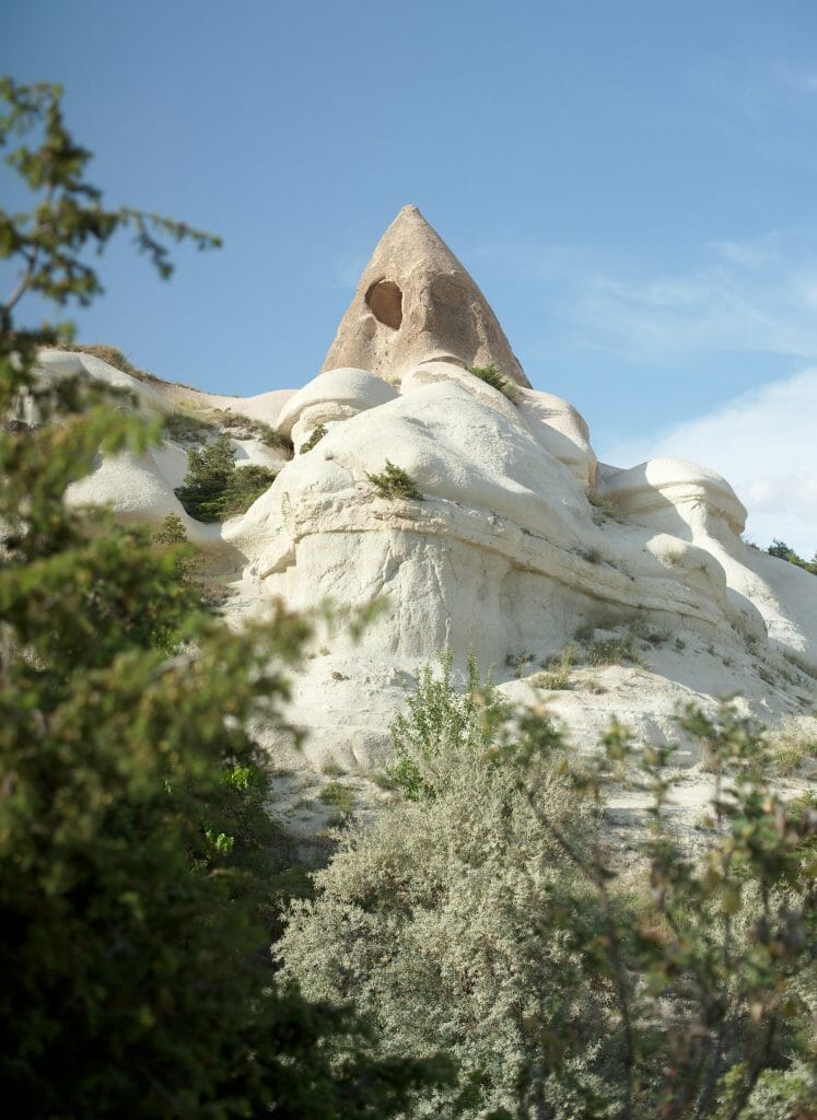
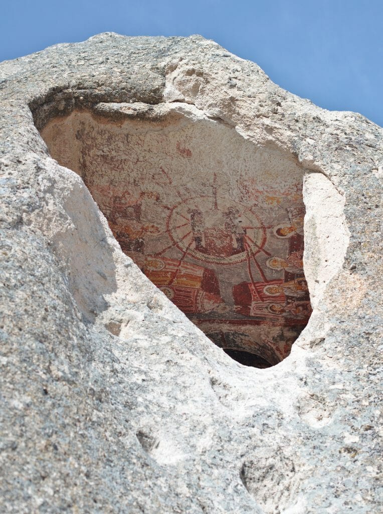
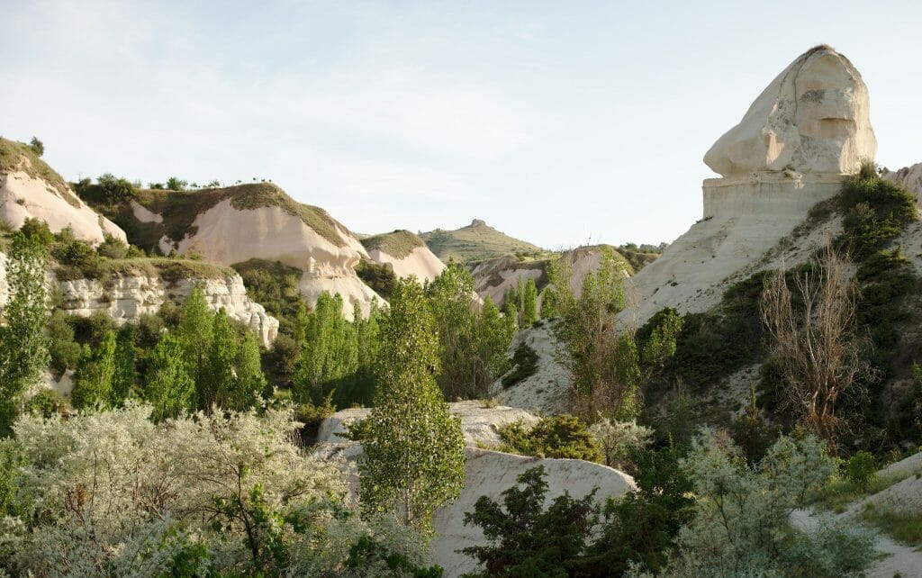
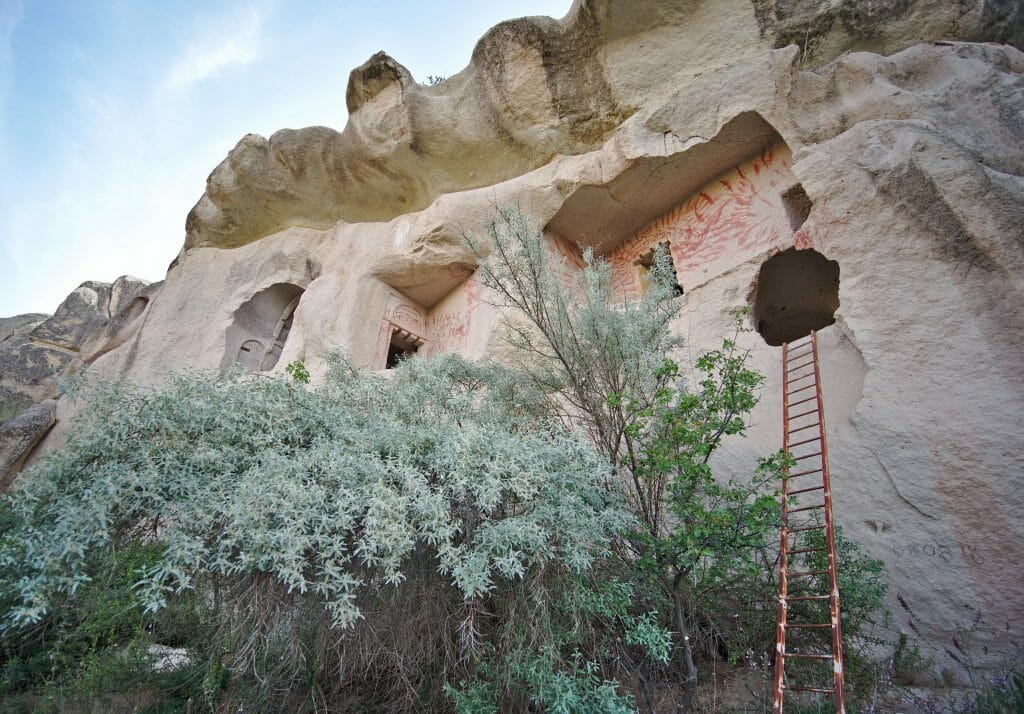
We return to the junction to continue on the path that turns into a track as we get closer to Göreme. After maybe 2kms there is a beautiful cave church in a wall that is accessible if you have the courage to climb the ladder (but it is worth it because the interior is quite impressive). A little further on the right it is possible to make a short round trip to see the El Nazar church, which is UNESCO World Heritage site (it was unfortunately closed when I visited).
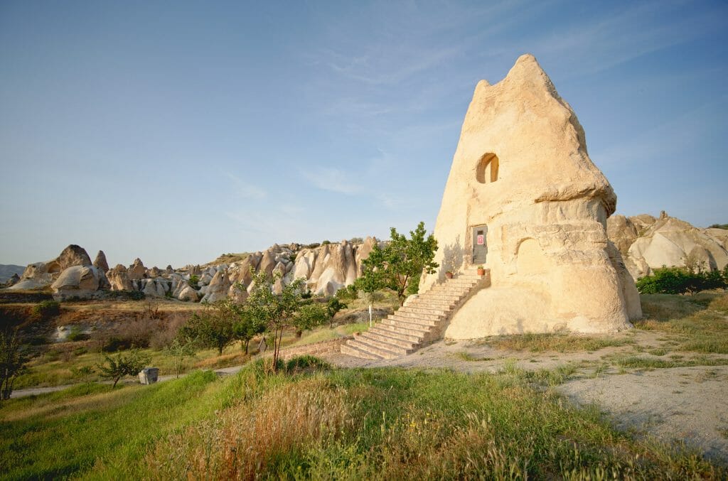
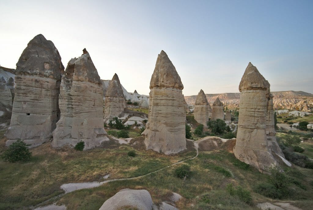
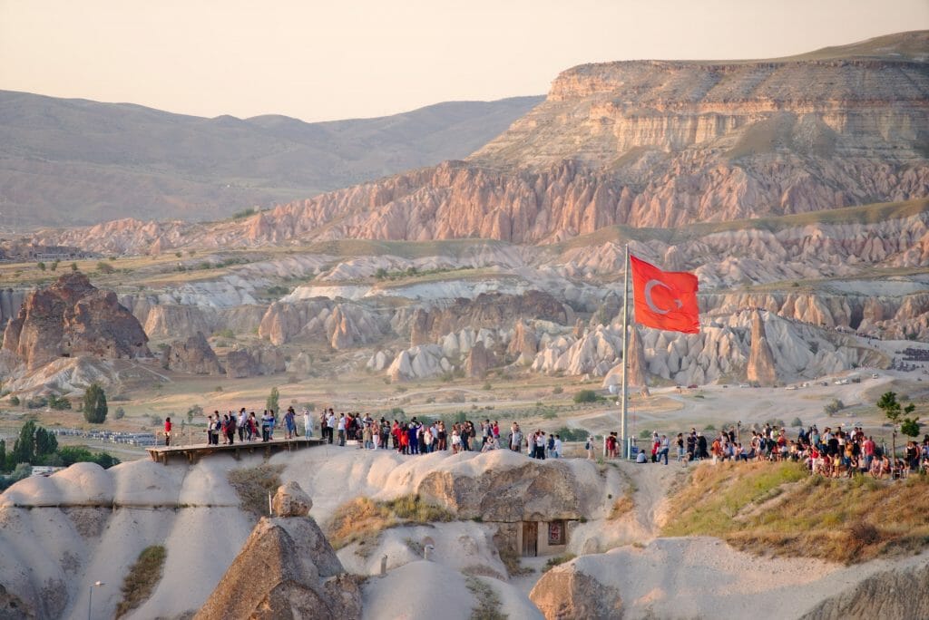
To finish the hike, follow the signs "Görkündere" on the left to cross a mini valley with beautiful fairy chimneys. The trail then climbs up to a very beautiful viewpoint on these formations (located a little behind from the viewpoint where everyone goes for sunset). Besides it is also a very nice spot near Göreme for sunrise (but I will talk about it in another article on the subject) and it is quite possible to do the hike in the other direction after sunrise.
Loop Göreme - Red - Rose - Sword - Göreme
Useful Infos
- Distance 13.8 kms
- Deniv. +- 450m
- Duration 4-5h
- Difficulty average
- Hour Here I advise you to start the hike in the late afternoon to enjoy the beautiful lights in the red and pink valleys
So honestly the first part of the hike along the road to Kaya Camping (2.5kms) is not very interesting so if you manage to take a dolmus or get dropped off at the beginning by car it's not bad (and I haven't really found any other interesting ways to get there 😉 ). We take a left after the campsite to follow a track that quickly turns into a path in the Meskendir valley. The landscapes of the Meskendir Valley are only an introduction to what you will see during the rest of the hike.
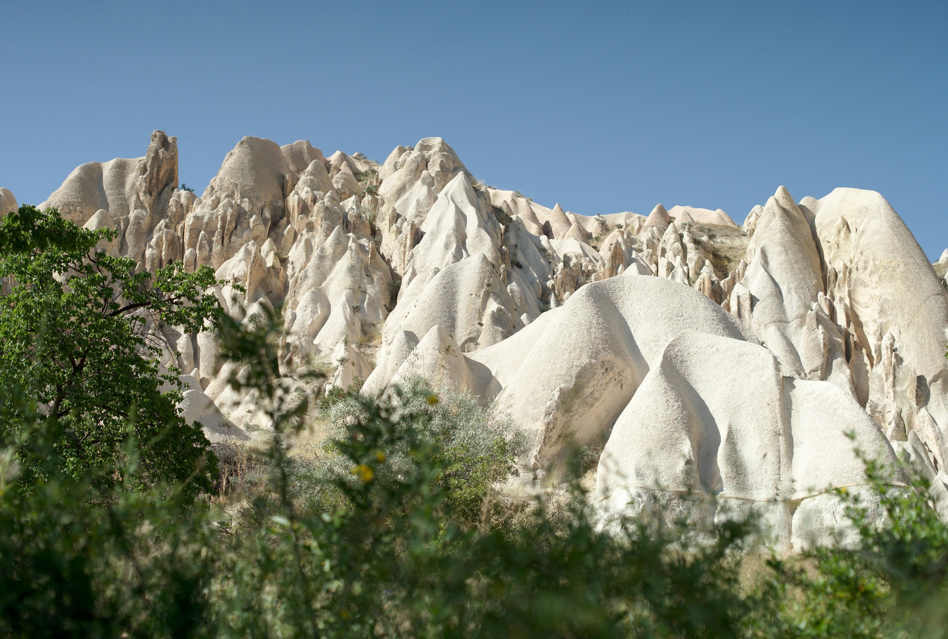
After about 2kms, take the path on the right which goes up the red valley. On the way, I stopped to drink a squeezed orange juice from a gentleman who apparently lives there... (which I really needed with this heat) He also gave me a little notebook about Islam in French that I accepted out of politeness 😉 . The path then climbs up towards the view point (accessible by car) on the pink and red valleys. On the way we pass by the "Grape church", a pretty church in the middle of the vineyards and then arrive at the viewpoint car park.
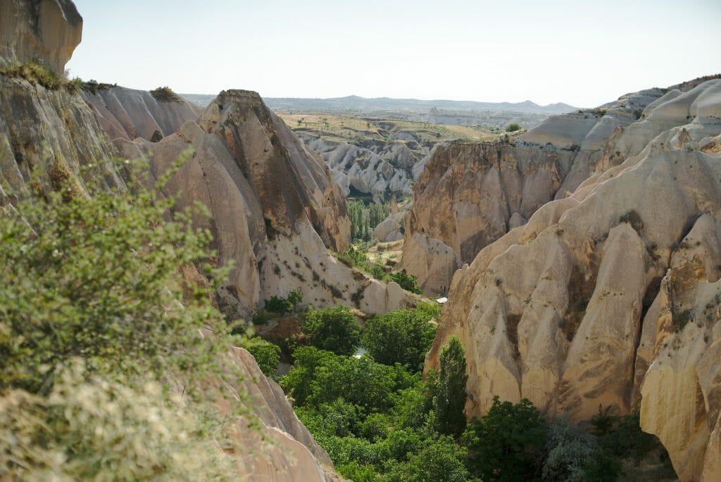
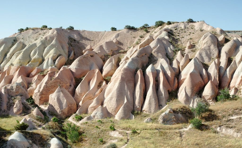
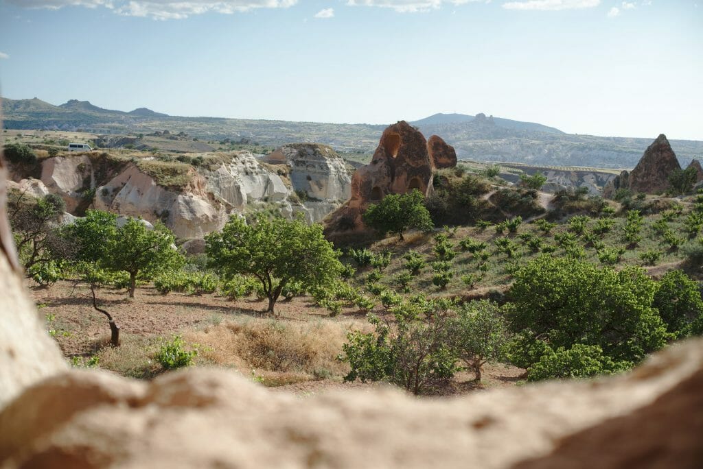
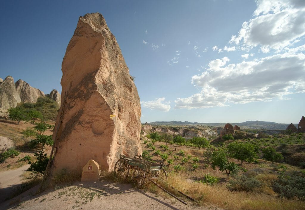
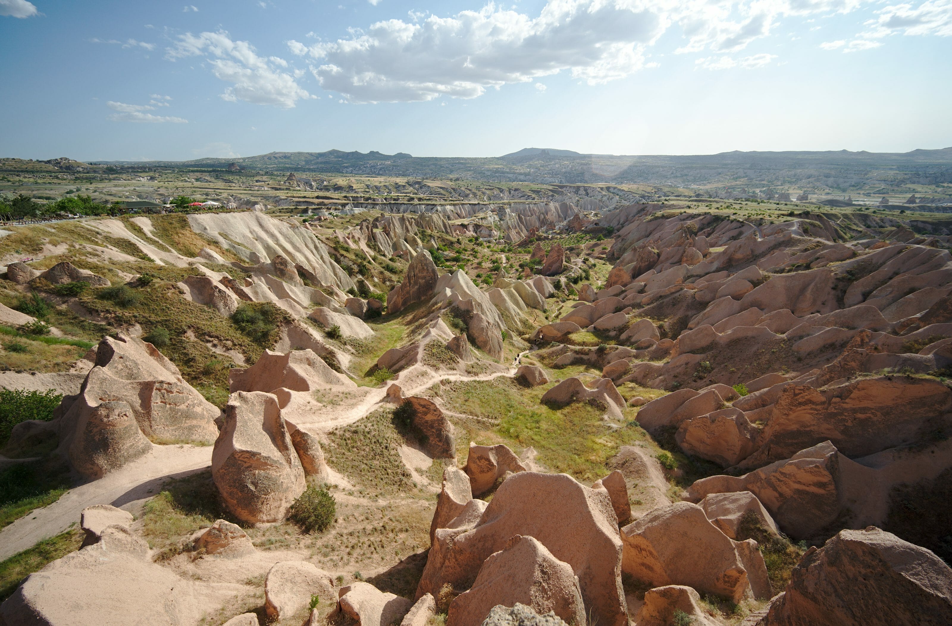
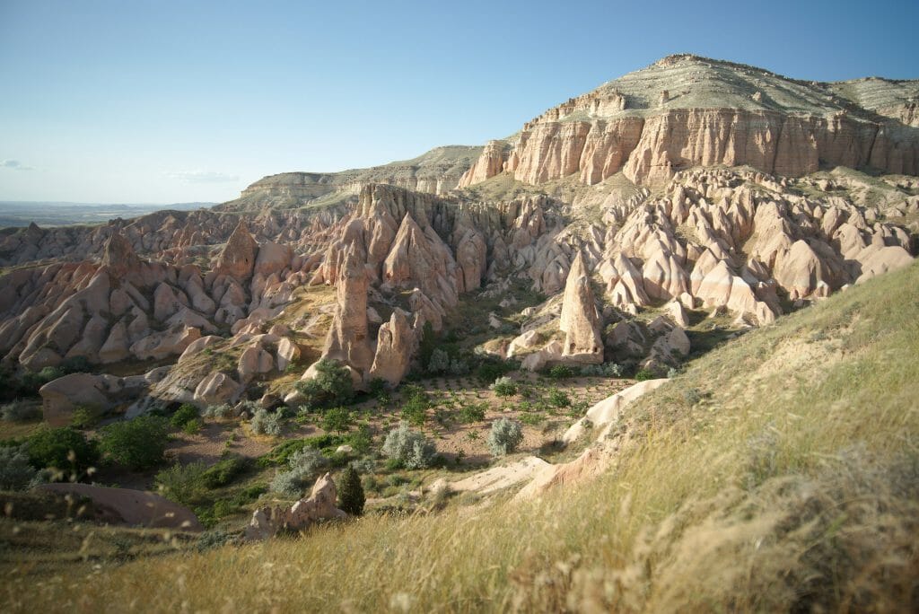
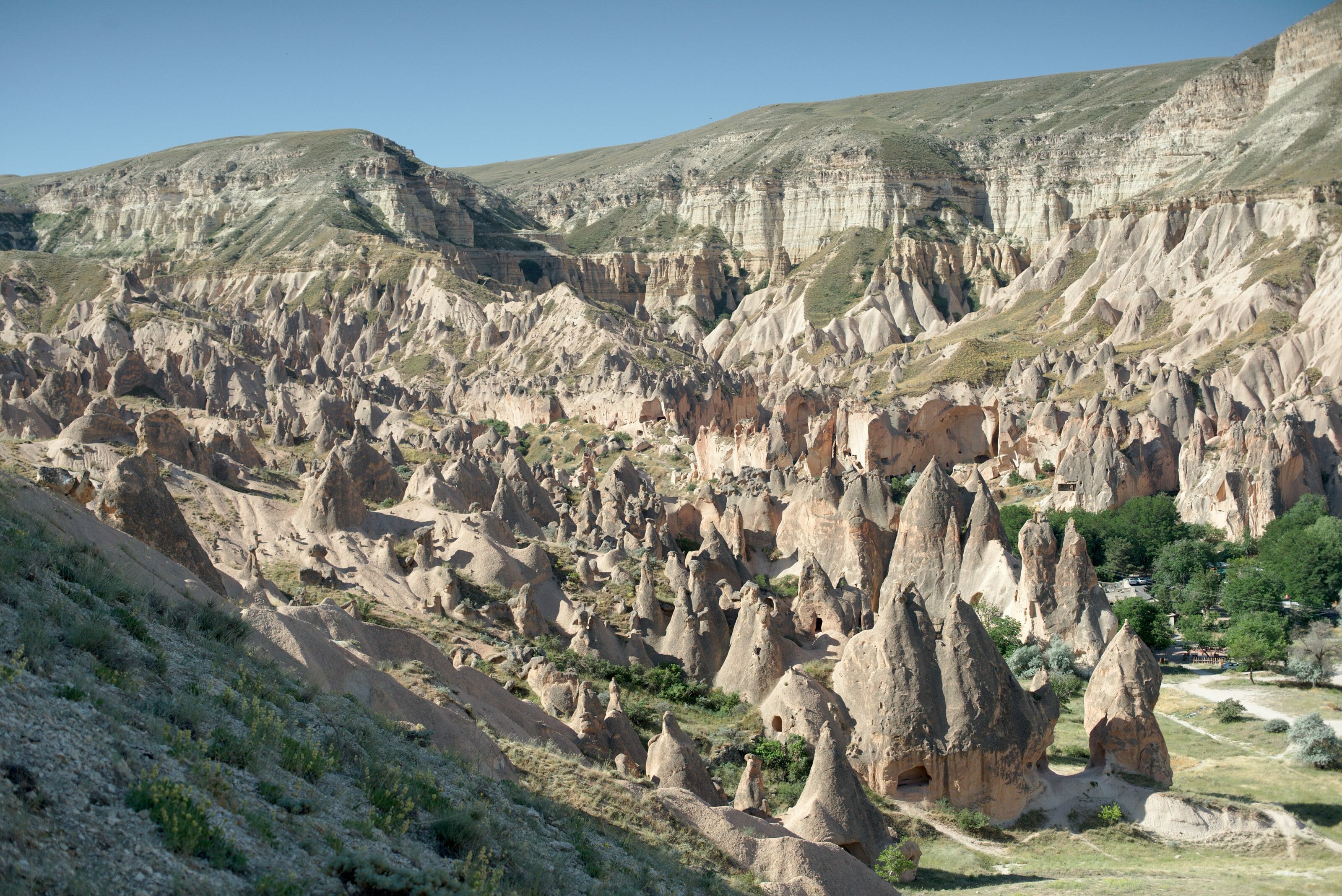
No need to stop at the car park and it is better to continue a little further on the path that goes up towards the pink valley to enjoy the view peacefully The landscapes are really beautiful, especially with the beautiful lights at the end of the day.
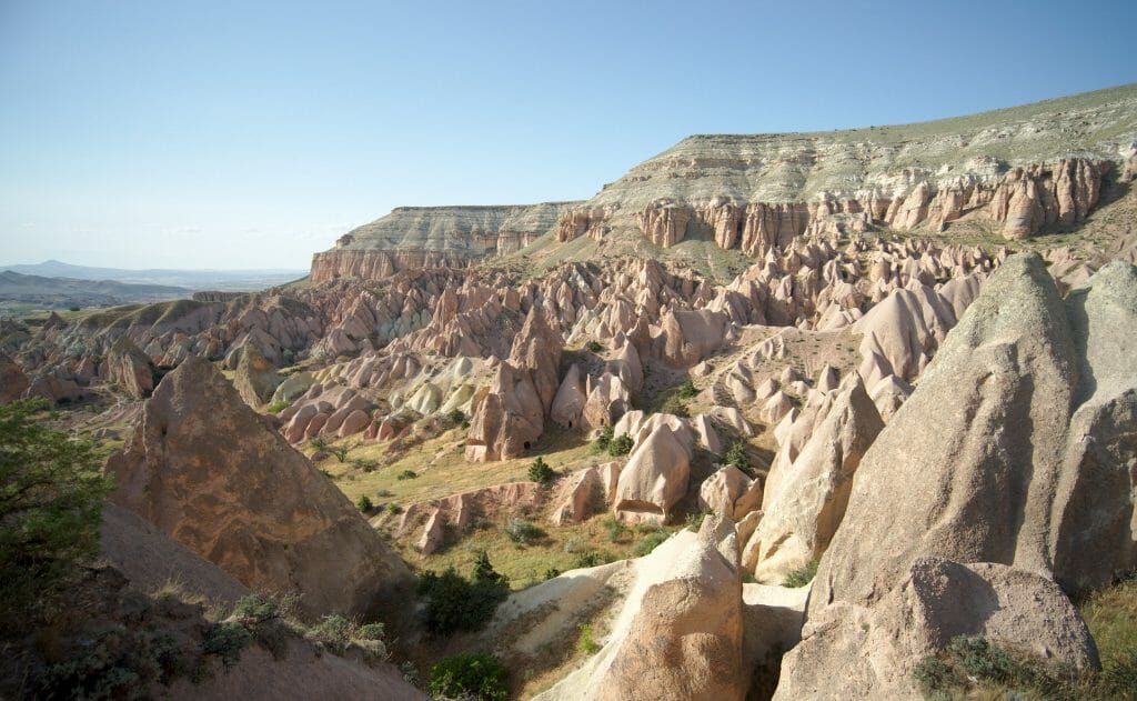
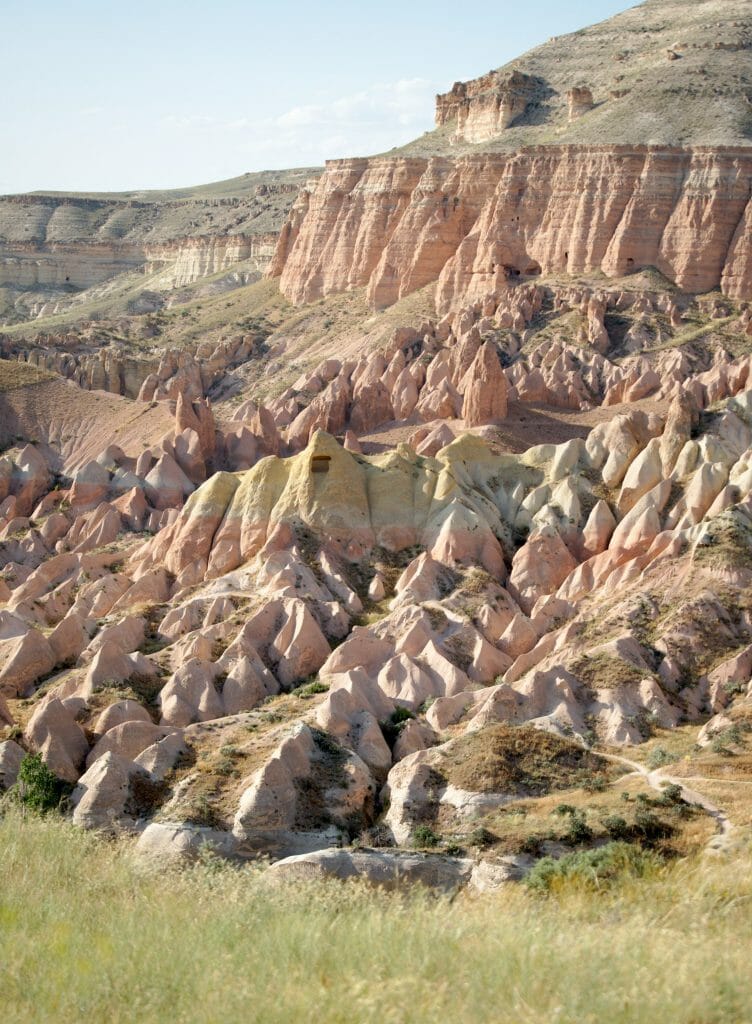
After a very scenic part, the path goes down quite steeply to the bottom of the pink valley to go up on the other side towards the cross church (or cross church... in which you have to enter!). There is also a small coffee shop here to drink smth if you like. Frankly, what can I say except that the landscapes are just gorgeous all along the trail around here. The path then goes down the entire upper part of the pink valley to the track that joins the village of Cavusin.
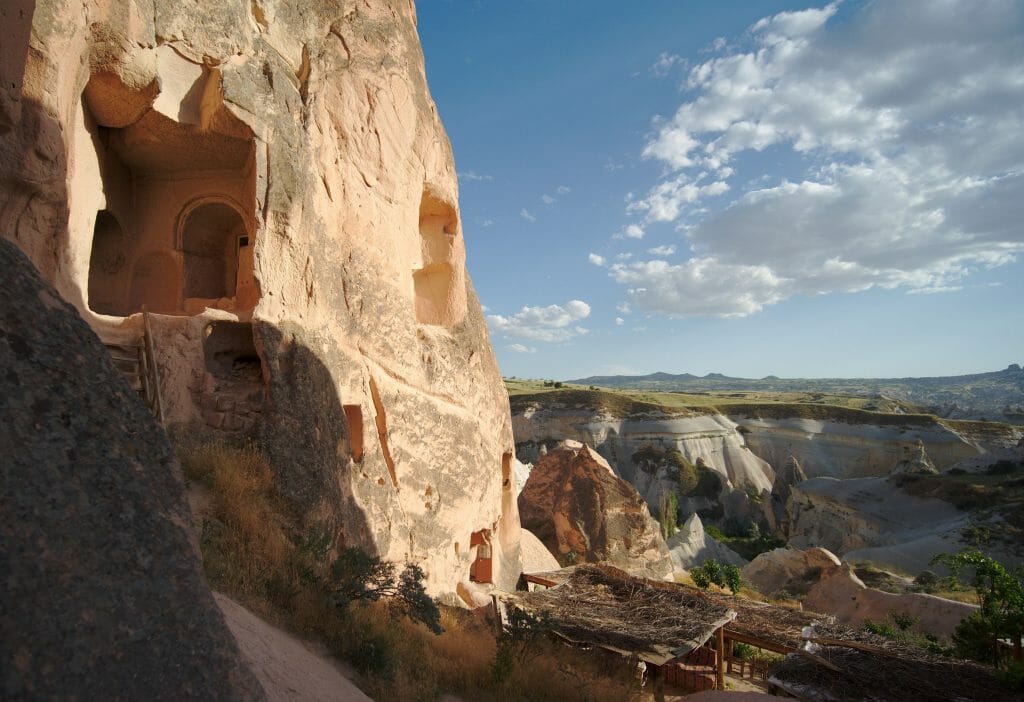
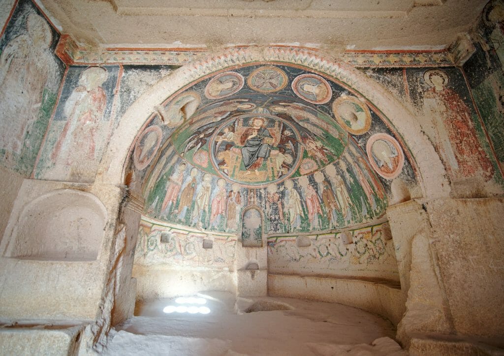
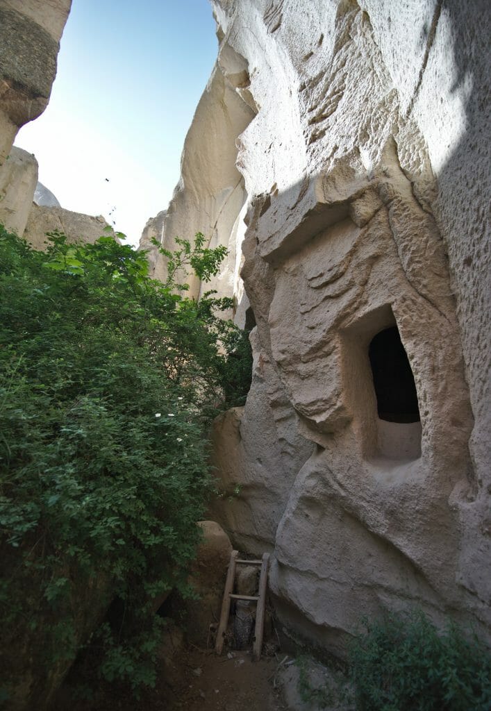
On the other side of the track we go up towards the swords valley, the last one before returning to Göreme. The rocks here look a bit like morels (well that's what I think 😉 ) and we pass in front of a new church dug inside a huge rock (besides there must be 3-4 floors inside the church... it's very impressive).
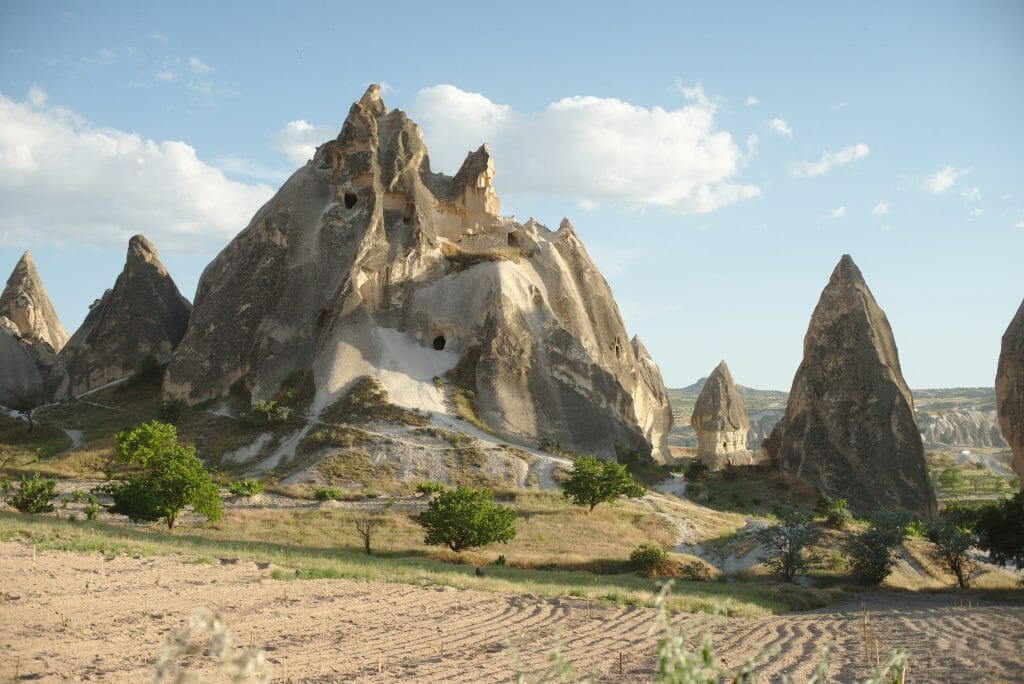
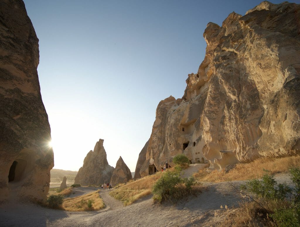
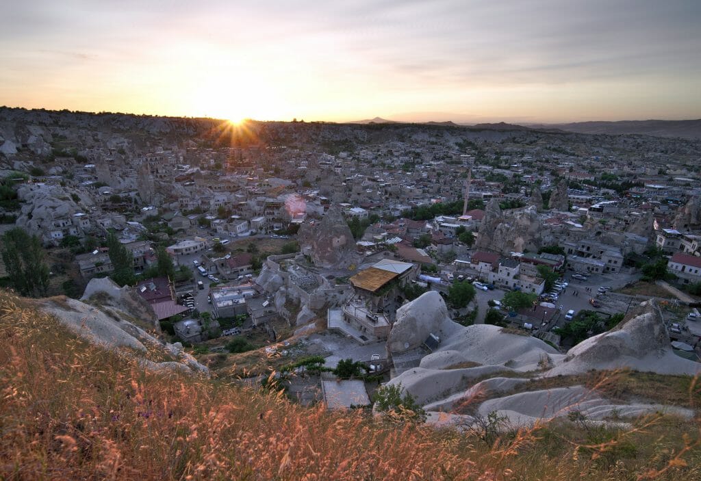
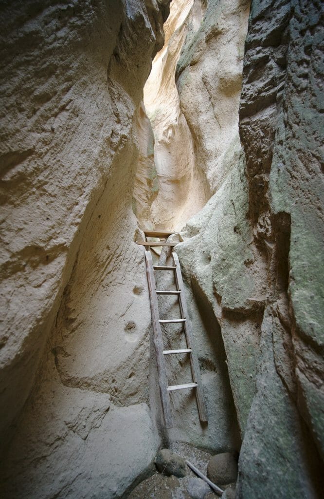
We continue along the Sword valley without immediately taking the direction of Göreme. The trail arrives in kind of Canyon that is quite narrow and worth a look. After passing one or two small ladders, you exit the Canyon at road just above the Göreme Open Air Museum. Then just follow the road to return to the starting point (with the possibility of climbing to the sunset point of Göreme to finish the hike if you have not already done so).
Loop Göreme - Red - Akdag - Zelve - Cavusin - Göreme
Useful infos
- Distance 18.5 kms
- Deniv. +- 530m
- Duration 6-7h
- Difficulty quite difficult
- Hour For this hike it is better to leave before daybreak to admire the sunrise from the sword valley and then continue the loop while it is not yet too hot.
As this loop will explore the part behind Mount Akdag, it is longer and more difficult than the other 3. But to shorten it a little, it is also possible to come back by bus/taxi from Cavusin. So I advise you to start at night from Göreme and go to the church in the swords valley taking the most direct route this time (compared to the previous hike where we ended up in the canyon). The idea is to arrive at the viewpoint indicated on the map to admire the sunrise (and hot air balloons) and then continue the hike.
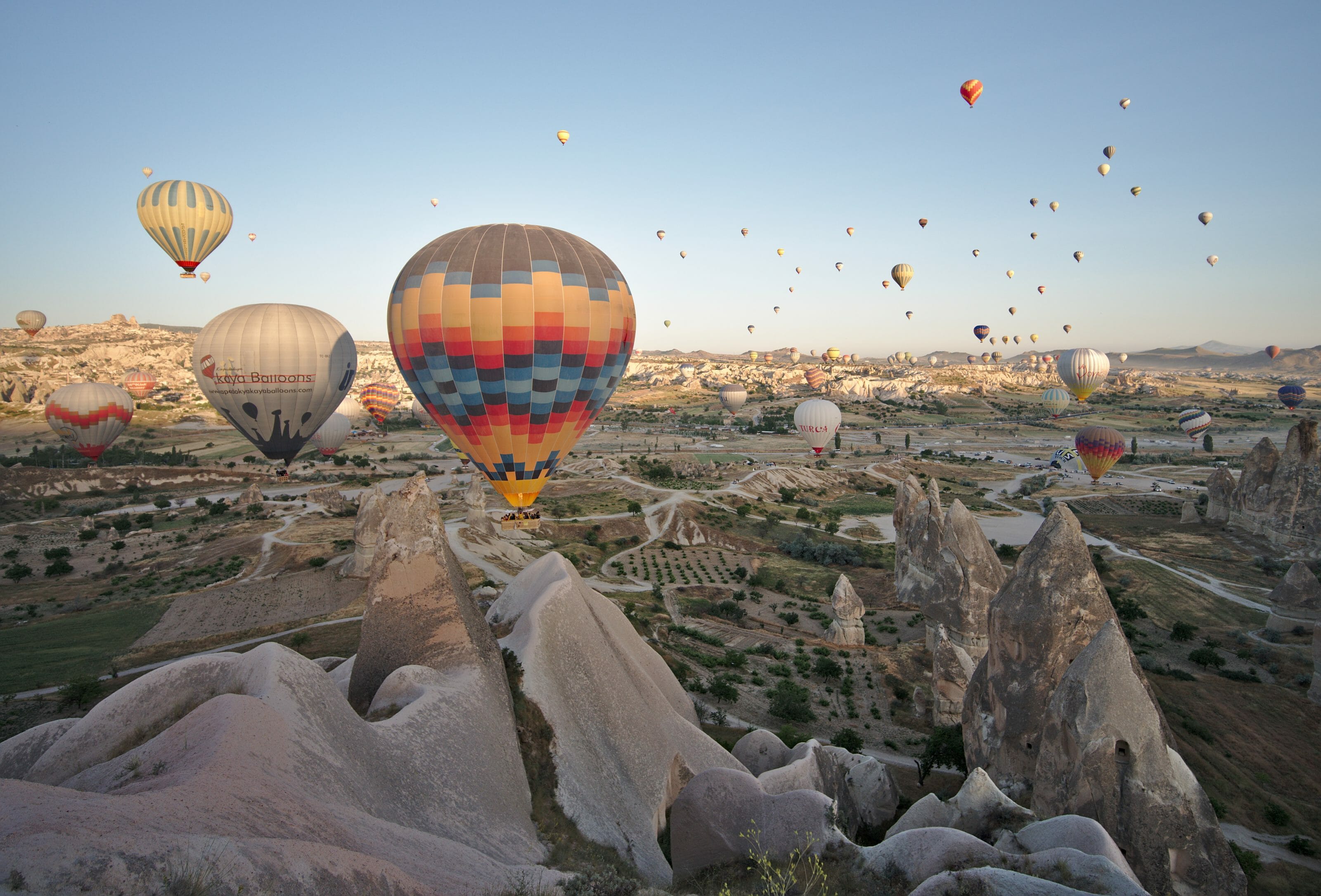
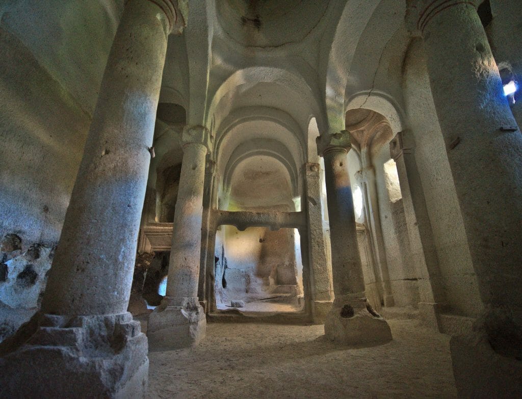
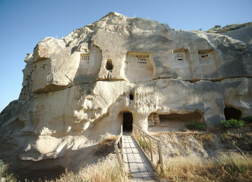
After admiring the show, we go down again to climb the lower part of the pink valley (which we had not done in the previous hike). As we go up, we pass in front of a cave church that does not look like so impressive from the outside but is the one that amazed me the most with its large columns inside.
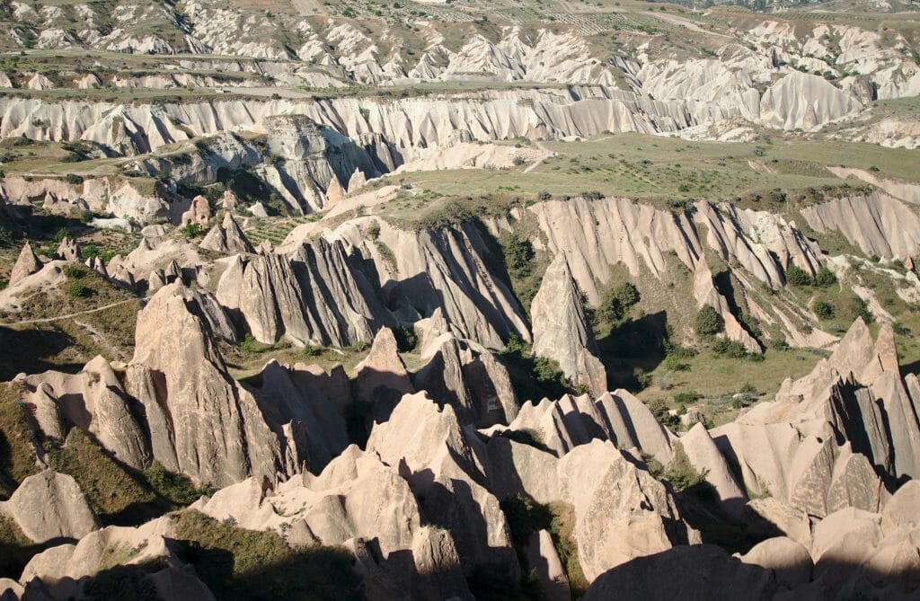
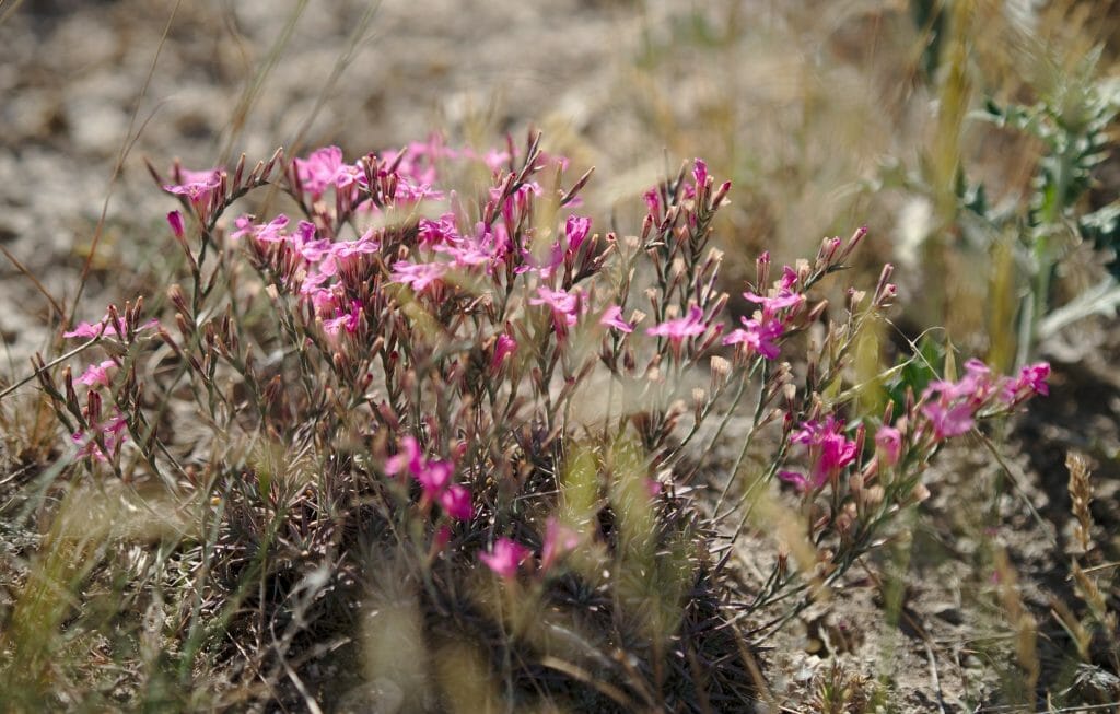
The trail then joins the path that we had taken during the hike number 3 to go up to the viewpoint of the pink and red valleys. But this time, we take the path that goes up on the left on the Akdag whose summit is not very far away. Moreover for those who would look for bivouac spots with a view (for sunrise and sunset), the summit of Akdag is clearly a good choice as it is a kind of grassy plateau with a 360 degree panorama.
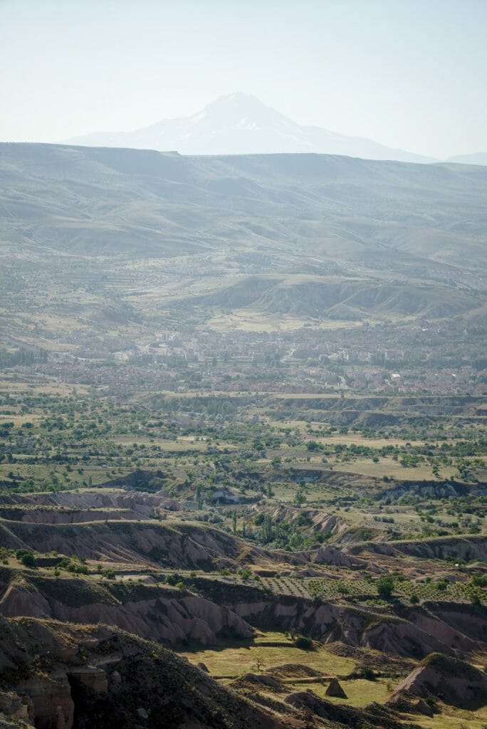
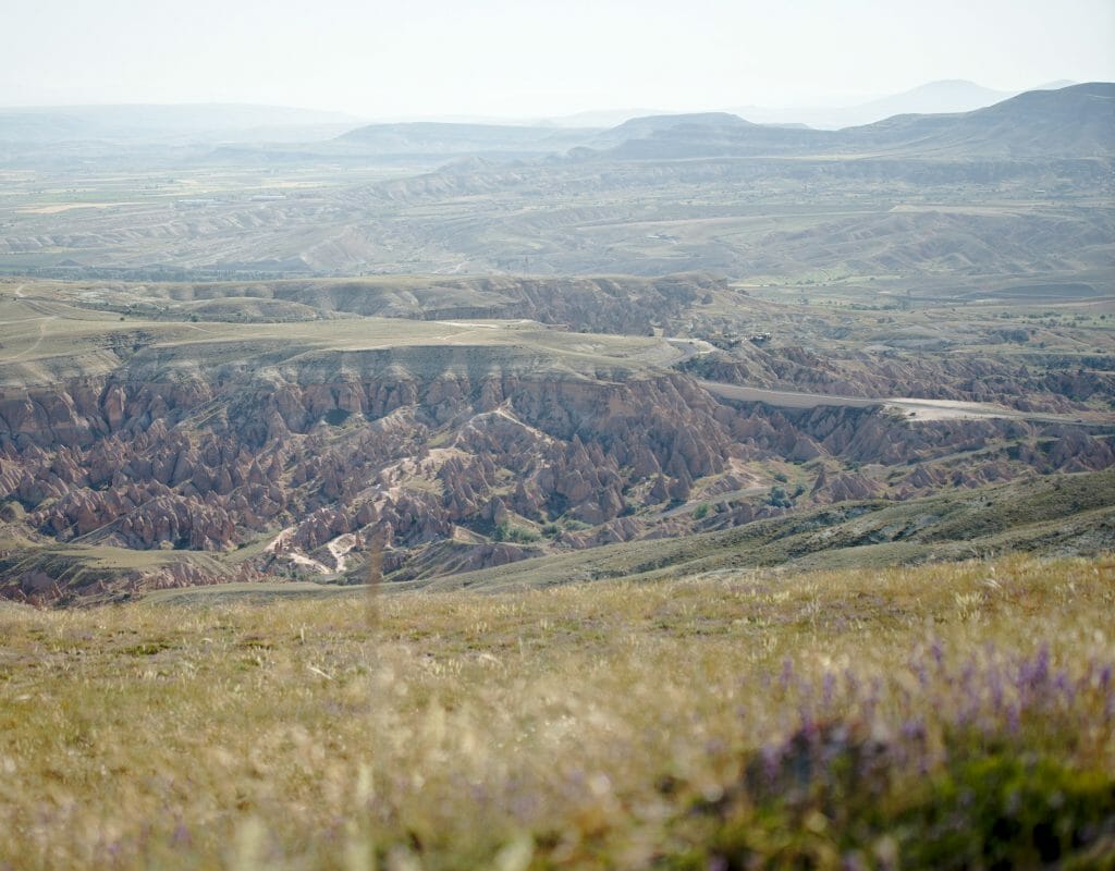
The path then continues on the other side of the Akdag to descend to the open-air museum of Zelve. To our right we also have a very beautiful view of the valley of the imagination or Devrent valley (which we will not go because it would be too big of a detour for this itinerary). Be careful though, the last part of the descent to Zelve is rather steep so if you have hiking poles, they could be useful here.
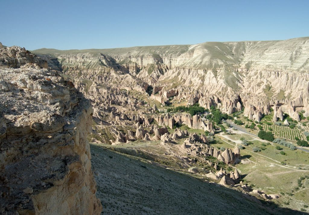
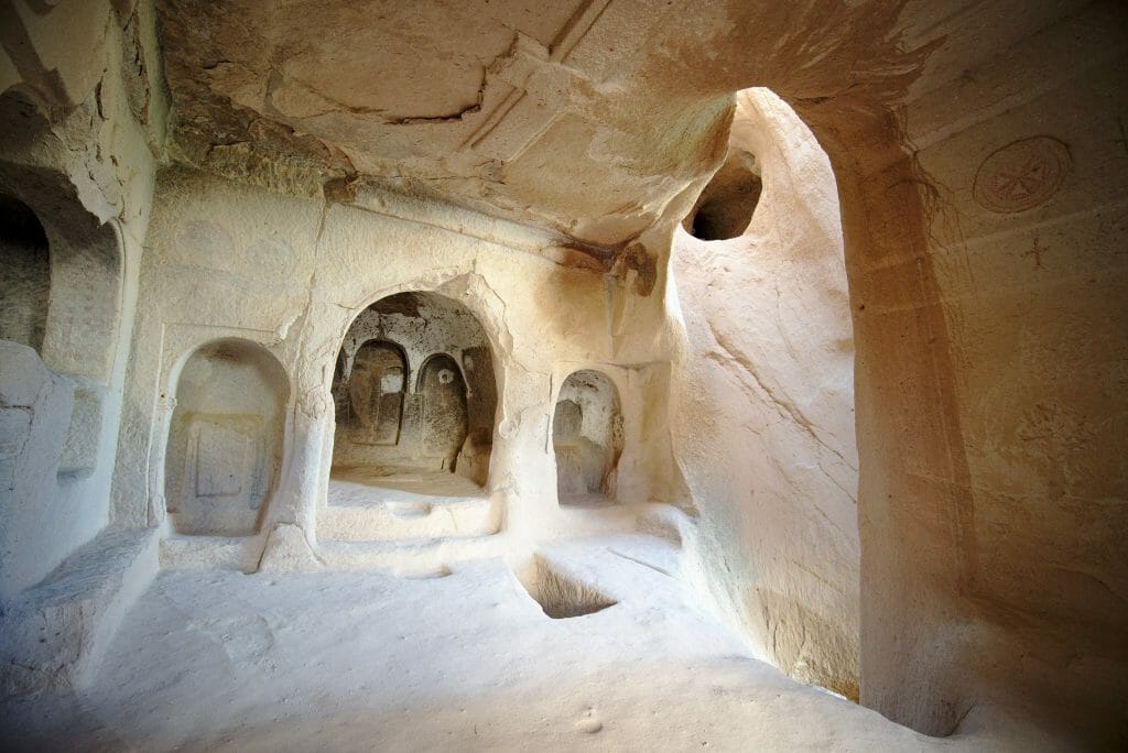
At the end of the descent we arrive at the Zvelve open-air museum which I strongly advise you to visit (the entrance costs 65TL, price August 2022). Personally it is the cave village that I preferred in Cappadocia and if you arrive like me early enough in the morning, you will have the site for yourself. In addition, the village is well maintained (and protected) and there are many well-made explanatory signs, which is rare enough to be noted in Turkey.
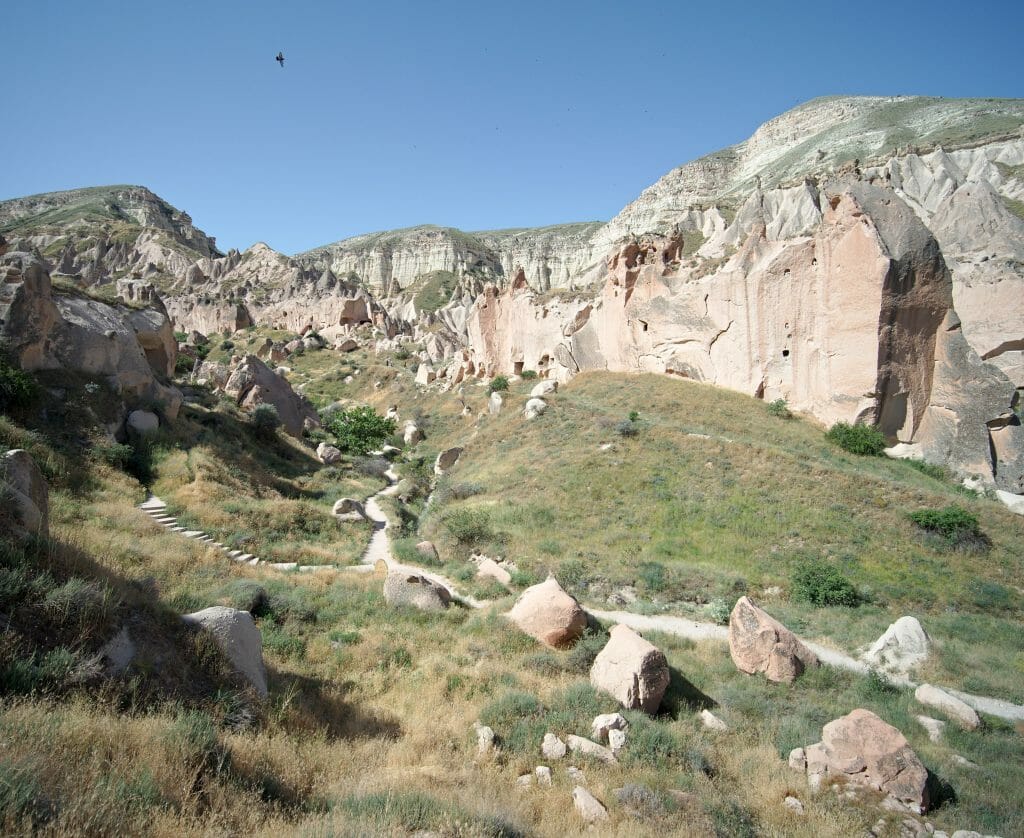
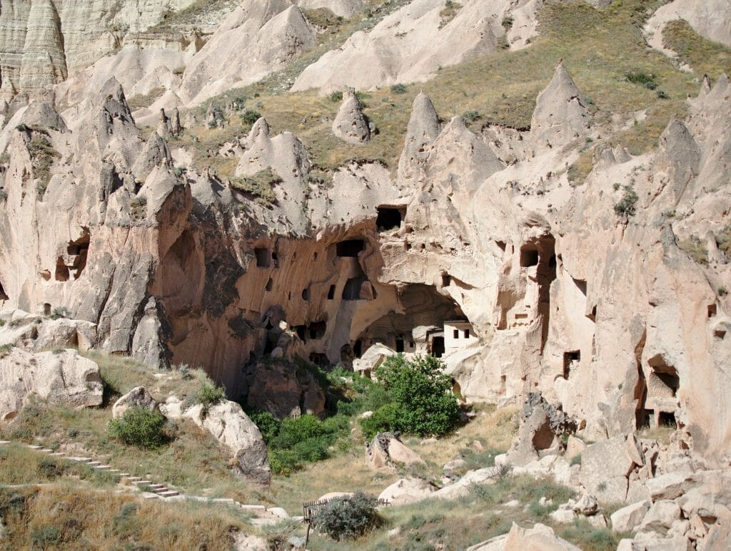
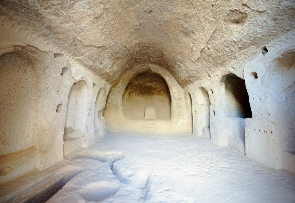
After the visit, we follow the road for maybe 1.5kms to the monks' valley where you will also find some very beautiful fairy chimneys. However, you should not be afraid of the crowd because there are huge concrete car parks just in front of the site and many buses stop. Personally, I didn't stay long in the area and immediately went up the path that goes behind the monks' valley towards Cavusin.
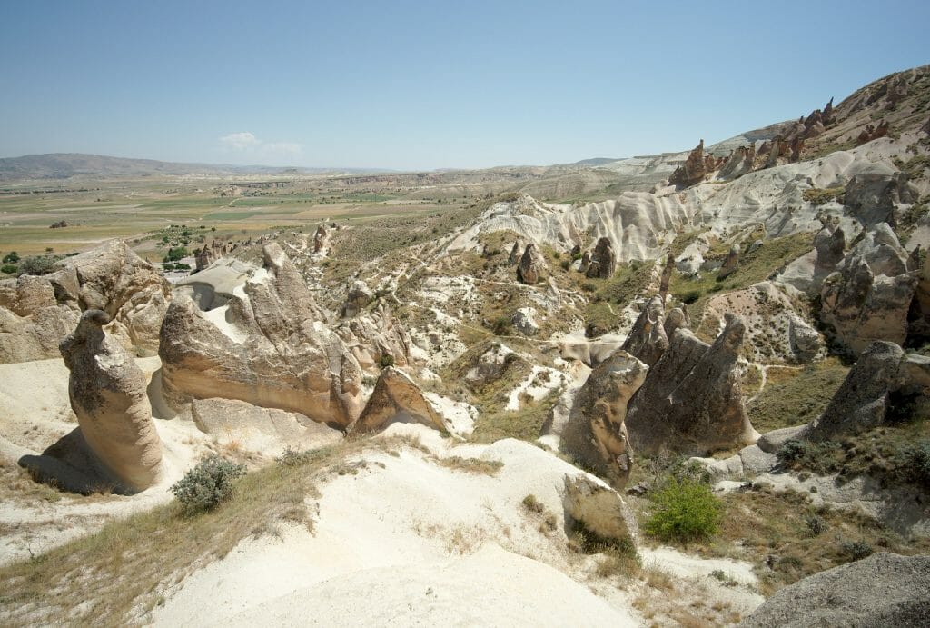
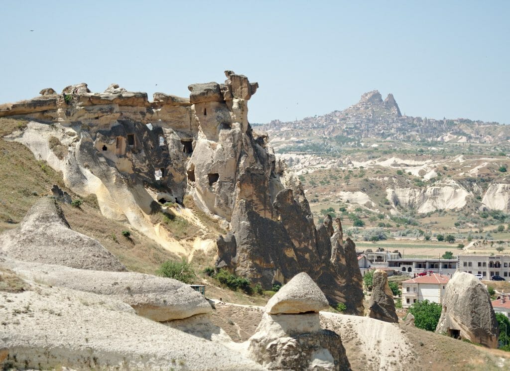
The path goes down to the village of Cavusin, which is known for its ruins and in particular St John the Baptist's church. If you still have the courage, it is worth exploring this rock, which looks like a troglodyte fortress overlooking the village... especially since access is free.
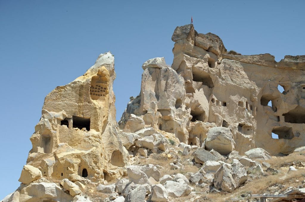
For the end of the hike, it is above all a question of returning to Göreme.... from Cavusin there is a dolmus that passes every hour and it is also possible to take a taxi. But if you haven't seen the valley of the swords yet (and you still have some juice), you can follow the route on the map that will take you through this valley.
Other hikes we didn't do
As I told you, the 4 hikes above will allow you to discover most of the beautiful places in Cappadocia far from the crowd and walking from Göreme. But there are still one or two exceptions that are a little further away (there are certainly others, don't hesitate to give us your suggestions in comments) and for which it is better to have a car:
- Ihlara valley: It is located about 100 km from Göreme and a hiking trail crosses it from one end to the other. There are many day tours from Göreme to Ilhara but I recommend you to sleep one night in Ihlara to do the hike in peace. Just in case, the route of this hike is in the AllTrails app here.
- The valley of imagination (Devrent valley): You can see it from the top of the Akdag but the easiest way to get there is still by car (it would still be a big detour in the 4th hike). On the other hand, I didn't see a path indicated on my maps... even if a traveller I met at our hostel told us that she had been walking there.
We hope you will enjoy these hiking routes that will really allow you to discover the incredible landscapes of Cappadocia in complete tranquility. Today, this region is almost more famous for its hot air balloons than for its history and extraordinary valleys. With this article, we wanted you discover its secrets (fairy chimneys, villages and cave churches...) before the balloons at sunrise ;)... But for hot air balloon fans, don't worry, we'll soon be coming up with an article on the best places to watch the sunrise in Cappadocia;)
P.S. And if you have any other hiking suggestions, don't hesitate to share them with us in the comments!
Note: This article contains affiliate links. By using them you do not pay anything extra, but we'll earn a small commission. Thanks for your support.

You are so right when you say you don’t need to go out of your way to escape the crowds in Turkey. It is usually enough to plan a bit ahead, go self-guided, and do things a tiny bit different. We had the exact same experience in Cappadocia.
Hi Pascale,
Yeah in Cappadocia you just need to walk a tiny bit to get away from the crowd and enjoy these stunning landscapes just for yourself (which is awesome). It’s really an amazing region!
Really useful, just finished two solid days of winter hiking (saw a few farmers only) and the app you suggest was great too.
Glad you found it useful Nick! can’t believe so few people hike in Cappadocia 🙂
Thank you for this awesome article!))
Hey your welcome. Glad you liked it 😉
This blog post couldn’t have been more perfect in helping me to plan our upcoming anniversary trip. I’m definitely going to do 3 of your hikes and I really appreciate the specific directions and spectacular photos.
PS: I think your selfies are pretty good.
Hi Nicole, so glad you could find some useful infos on our blog and would love to have your feedback after your trip to Cappadocia. Hope you’ll enjoy your stay there
Hello!
I’m planning a trip to Cappadocia and it would be cool to know how could I download the maps from this website into my phone to use them offline on the site.
Thank you in advance.
Best regards
Laszlo
Hi Laszlo,
It’s super easy! Just subscribe to alltrails (free) and if you click on the map title in the blog post, it will open the map in alltrails. If you have subscribed, you will be able to download the GPX track easily to use wherever you want
what hikes do you recommend in early January?
I am going there next week and want to do these beautiful hikes. Thanks a lot for such detail info.
I am slightly worried that if I am the onlyone hiking (along with a friend) and if I get lost?
I am hoping to have hotel number with me to have contact with outside world.
Is it easy to find route back ?
Hi Angela,
If you go on the hike with the GPX track of the maps on our website, you should not have any problem finding your way. No worries 🙂 and glad to read you liked our post 😉
Hi Benoit: Many thanks for your excellent blog post on the Cappadocia hikes. We just completed 4 days of your suggested hikes, in unusually cool, grey and wet weather for early May. Your routes pulled into AllTrails perfectly, and we did indeed lose 99.5% of the crowds. The only issue was on the Red – Akdag – Zvelve hike where fencing and a tourist centre at Pashabagi cut off access to the high part of the next couple of km of your route. We tired a scramble around to access but no go. We really appreciate your routes and commentary!
Hi Kim,
Thanks for your feedback and glad you found some useful infos for your hikes here 🙂
Thanks for sharing. It is possible to do all these trails in 3 days?
Regards,
Pati
Hi Pati,
If you’re used to hike, it’s doable but it seems more reasonable to me to chose 3 and do one per day
Is it possible to pitch a tent anywhere on any of these hikes? That’s my preferred method of hiking. But I can’t find any info on it in the Cappadocia area.
Hi fiddlehead,
I guess it shouldn’t be a problem… As all these hikes are doable as daytrips from Göreme, I didn’t use the tent (even if we had one with us). But from my experience you can easily find quiet spots along these hikes to pitch your tent. Just avoid the spots where you see tracks of cars as most of the mornings (around 4-5 am), there are all the balloons getting ready to take of. Better find a quiet spot if you want to sleep a little longer 😉
Thank you for the helpful article! I hope to do a few of these hikes (#5-7) next week when I visit. Do you think these hikes are okay to do as a solo woman? I will have the All trails app and download the maps.
Hey Chelsea! Yeah it’s totally fine to do these hikes as a solo woman. Have fun in Cappadocia
Hello guys. Thank you for this incredible complete description. If you have to choose 2 trails, what would they be? 🙂
Hi Renato,
Tough choice lol… Maybe I would go for the Love valley and the Red – Rose – Sword valleys… but I would still do all of those 🙂
Hi: Can you advise why we need to pay to visit Gerome open air and Zelve open air museums if we can do these hikes by ourselves? Should we be doing both or do these hikes really cover it all so need to do the open air museums? Thx so much! Chitra
I really enjoyed Zvelve so I would recommend you to visit it if you can