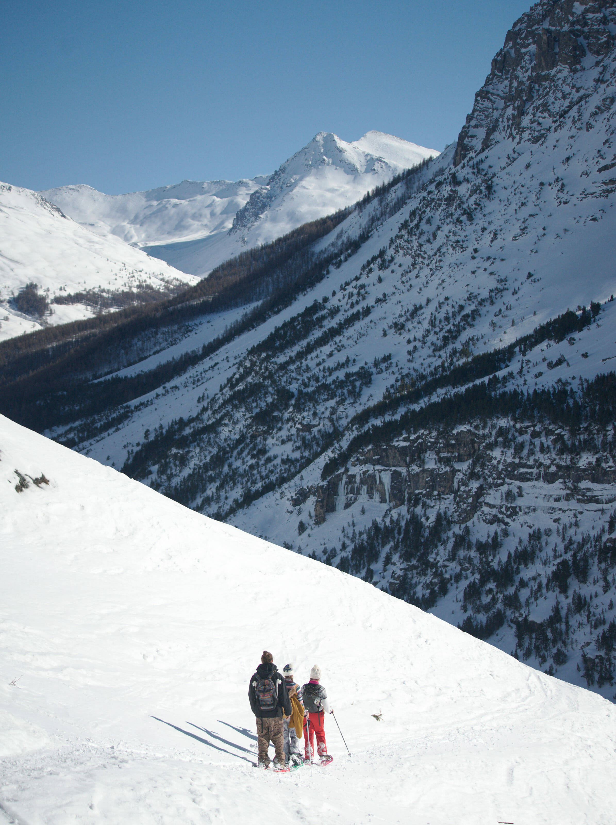
At the beginning of the year 2020, we spent 3 weeks in the pretty little town of Briançon at the heart of the Hautes-Alpes in France. If we came to this remote corner of France, it's mainly because we wanted to test a brand new coliving (the cloud citadel coliving) which has just opened its doors in the heart of the Vauban city in Briançon (we'll tell you more about this coliving soon in an article). As you may have noticed, we like to spend time in these kinds of places, which encourage socializing in an ideal working environment. So you can imagine that a coliving in a region like Briançon, with its infinite nature and outdoor possibilities, immediately caught our attention!
It is true that Briançon (and Serre Chevalier) is mostly known for skiing! So of course, when we spent 3 weeks here, we took our ski equipment with us to discover some new ski areas (Fabienne will tell you more about skiing in her next blog post). But over the years, we also notice that we like more and more the alternatives like snowshoes or ski touring that allow us to go to more quiet and wild places (we are getting old I guess 😉 ).
That's perfect because there are plenty of snowshoeing possibilities around Briançon (we didn't bring our ski touring equipment with us this time)! We had already shared with you our crush for the Clarée valley with snowshoes, but we had time to do some other very nice snowshoe trails that we are about to share with you.
So, ready to put on your snowshoes???? let's go!
Map Info: On the blog, you’ll find all the maps in interactive format via the AllTrails app (the one we use daily). If you want to download the trail of a hike to have it with you (on maps.me, your connected watch, another hiking app) –> you will find a download link above each map.
To download, simply go to AllTrails and if you don’t have an account yet, create one (it’s free). You will then have access to more than 30 formats to download our tracks and import them into the application of your choice.
If you want to access the maps offline from AllTrails, then you will need to upgrade to an AllTrails+ account (which we also have). By going through this link, you get a 30% discount (1.75€/month for one year instead of 2.5€/month).
Snowshoe trail to discover the fortifications of Briancon
During the time of Louis XIV and because of its geographical location at the border of the Savoy Duchy, Briançon became a strong military town. It was Vauban, who was marshal of France during the reign of Louis XIV, who equipped Briançon with an impressive belt of fortresses! By the way, just by skiing in the area, you can observe many of these forts on certain summits around the slopes.
So I took advantage of a beautiful day with 20-30 cms of powder snow to go discover the forts around Briancon's citadel. It should be noted that even if Briançon is the highest town in France (1326m), there is not necessarily enough snow around the town to do the complete loop with snowshoes. So go with a backpack big enough to put away your snowshoes when you don't need them!
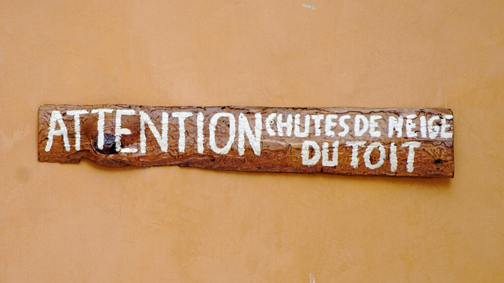
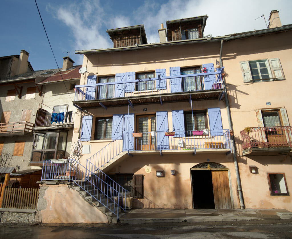
I started my hike at the bottom of the Vauban city, just in front of the Ecrins National Park house. From there, you have a beautiful view of the valley and the mountains of the park. I walked back up through the small lanes to the Pignerol door to get out to the north of the city. Little advice if it has just snowed, be careful of the snowfall from the roofs of the houses which are very steep! It is even indicated a little bit everywhere on the walls 😉
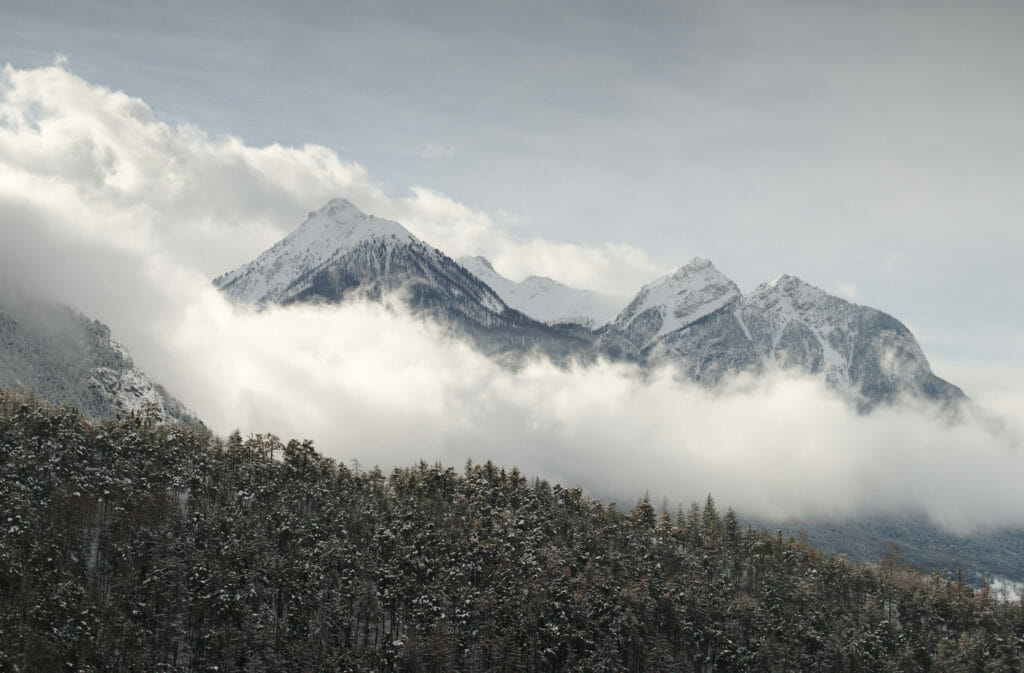
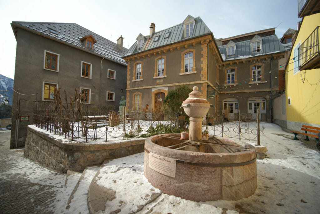
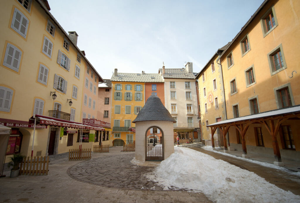
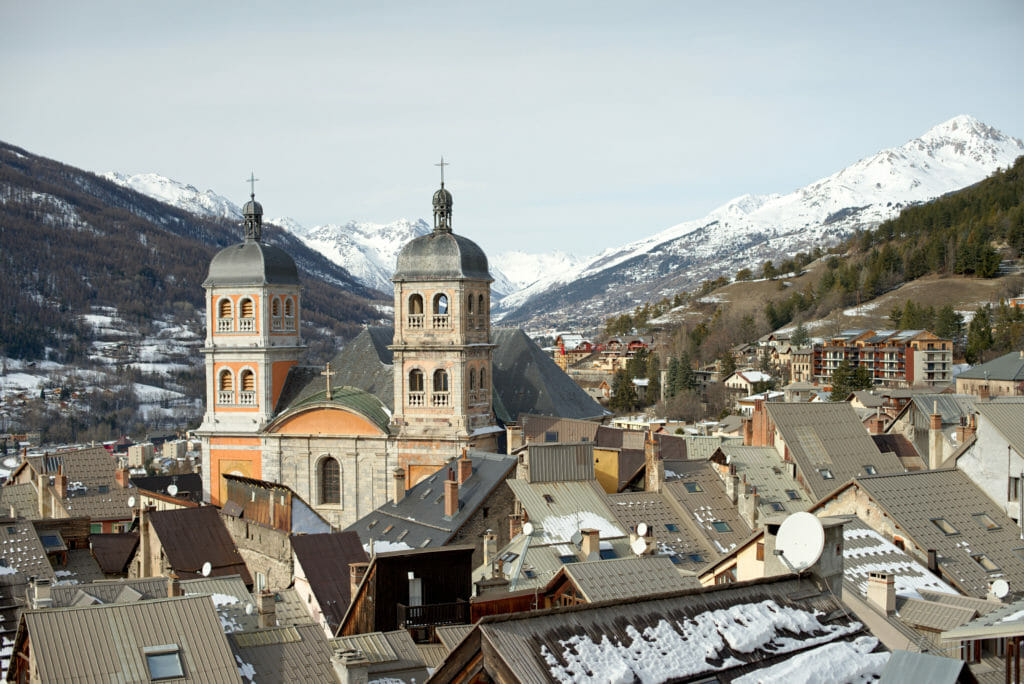
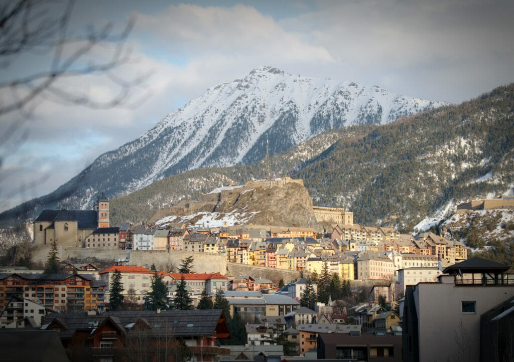
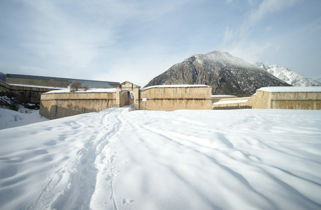
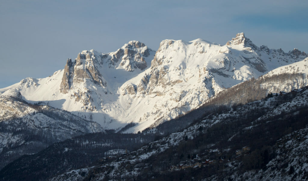
I cross the road to go up the Salettes path which goes up behind the pharmacy. It's at the end of this alley that I put on my snowshoes for the first time to go up the path that climbs towards the fort of Les Salettes. It's a bit steep but I am rewarded by a superb panorama in front of the fort. Opposite, I have a magnificent view over the citadel of Briançon, the fort des Trois Têtes (through which I plan to pass at the end of the loop) and on my left the valley that goes towards Italy.
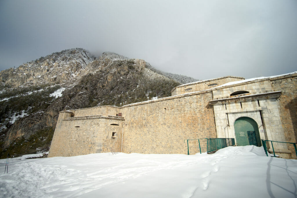
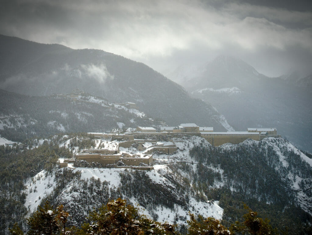
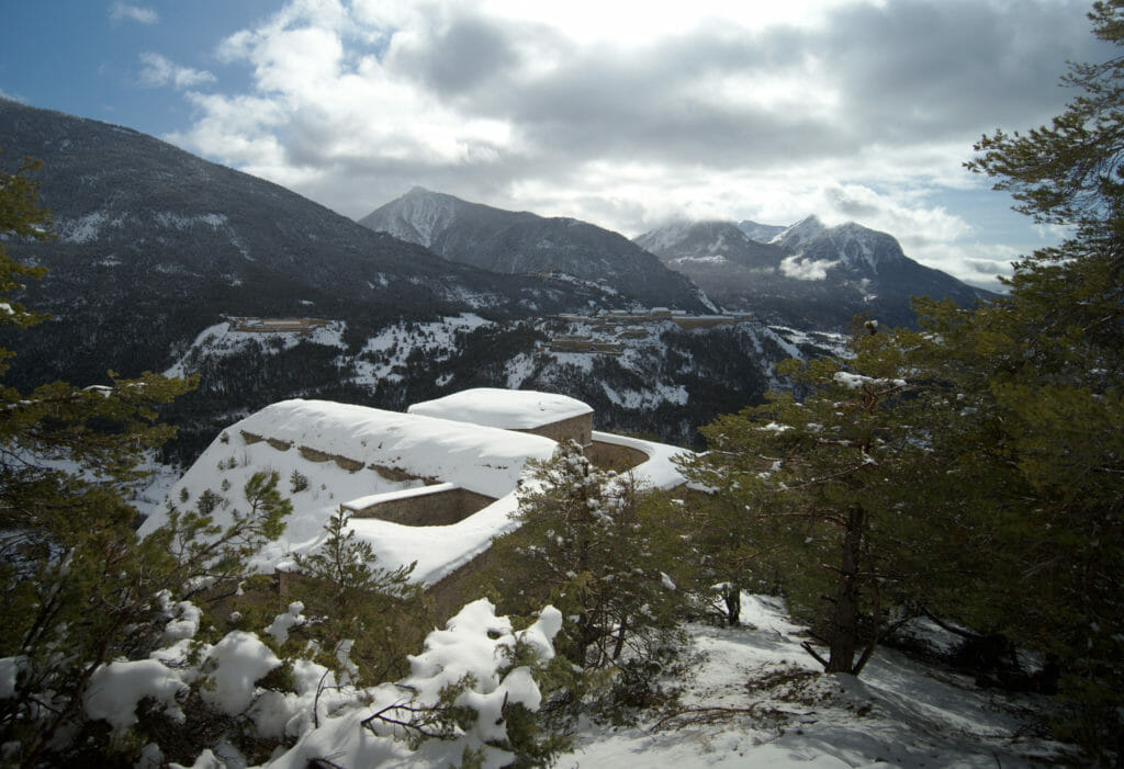
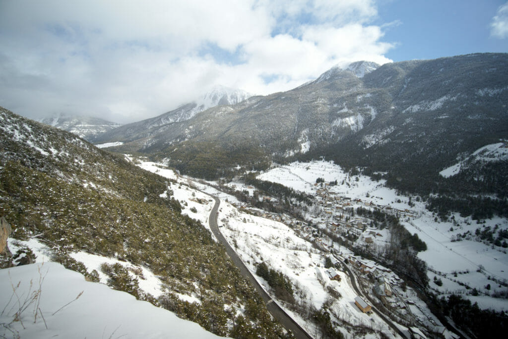
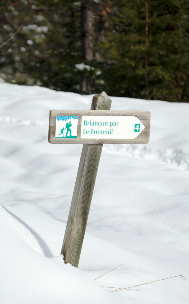
I keep going up behind the fort to a first crossroads. I turn right on the path that goes flat (more or less 😉 ) towards the rock of the shadow and the village of La Vachette. As someone had already made the traces for me, I didn't really need to use the GPX trace... on the other hand I had to avoid several tree trunks that had fallen on the path during the winter. After 1-2 kms, I arrive at an intersection with several signs and follow the indications "Briançon par le Fontenil". I go back down to the Italian road that I cross to go down to the hamlet of Fontenil (without the snowshoes between the road and the hamlet).
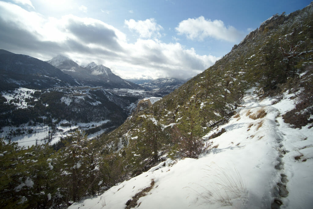
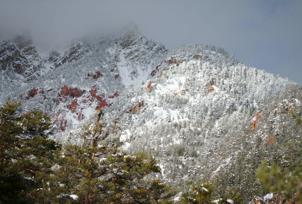
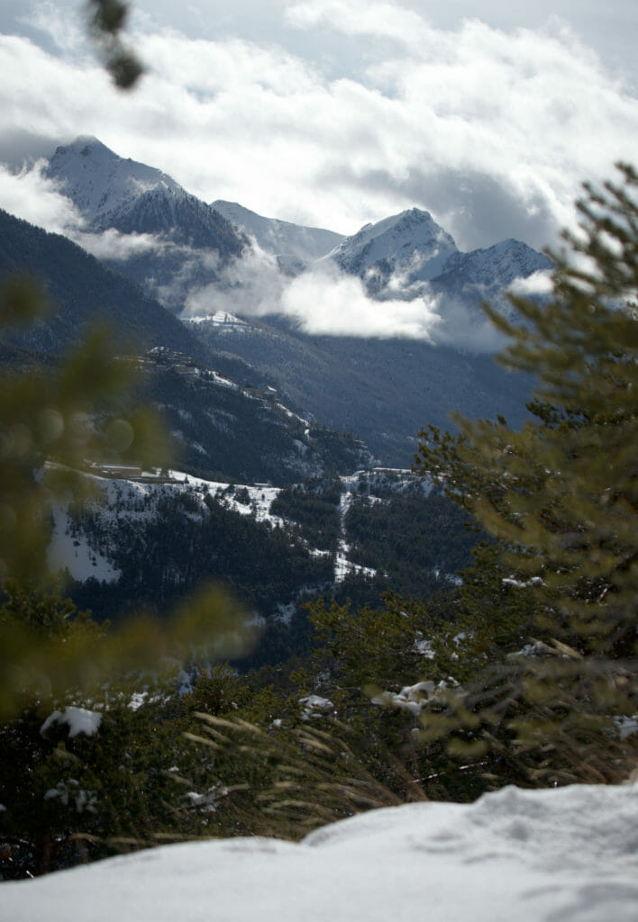
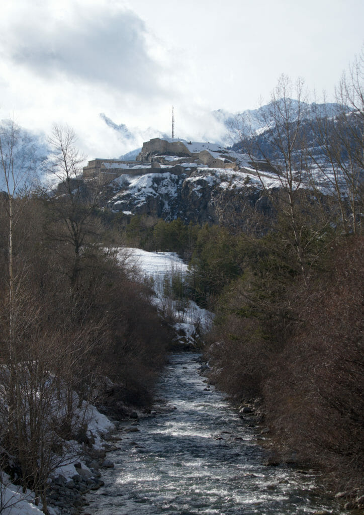
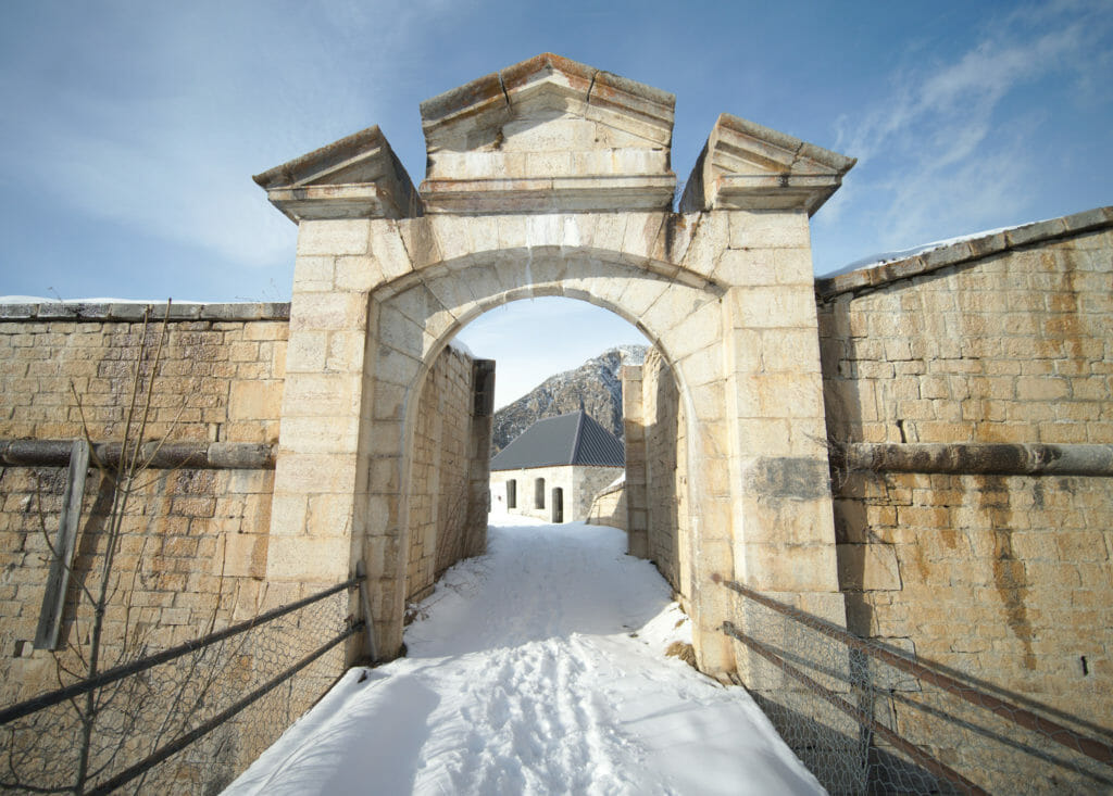
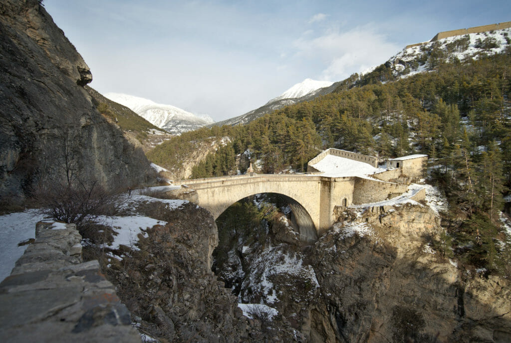
In the hamlet, I cross the Durance to go up on the other side of the valley towards the fort des Trois Têtes. However, on my left it is the fort Dauphin that I see first until I reach a crossroads. It is possible to go up to the fort des Têtes but be aware that you will not be able to enter the fort (even if it is open to visit from time to time. The opening dates are available here). After having seen the entrance of the fort, I go back down to the crossroads to go around the fortifications from the front. Going down to the Asfeld bridge (bridge that connects the city to the fort), you have a nice view of the Vauban city and the city of Briançon. I cross the bridge to go back up to the city and finish this snowshoe hike with a beautiful view of the mountains at sunset.
Useful Infos
- Distance 9.3kms
- Deniv. +- 450m
- Duration 3-4 hours
- Difficulty average
Cervieres: snowshoe trail to "les Oules" waterfall
Cervières is a charming little village above Briançon and a few kms before the famous Izoard pass (which all fans of Tour de France know). To get to the start of this hike you need to take the car to Cervières and then continue perhaps another 1-2kms on the road towards the pass to the Hameau of Laus. This hamlet is a very popular starting point for various snowshoe trails, ski touring and cross-country skiing.
One of the best known hikes from Le Laus is of course to go up to the Izoard pass. But with Fabienne we preferred to go to the nearby valley (where it is maybe a little less crowded) in the direction of Les Oules waterfall (if you want to hike the Izoard pass on snowshoes, you will find a good GPX track here).
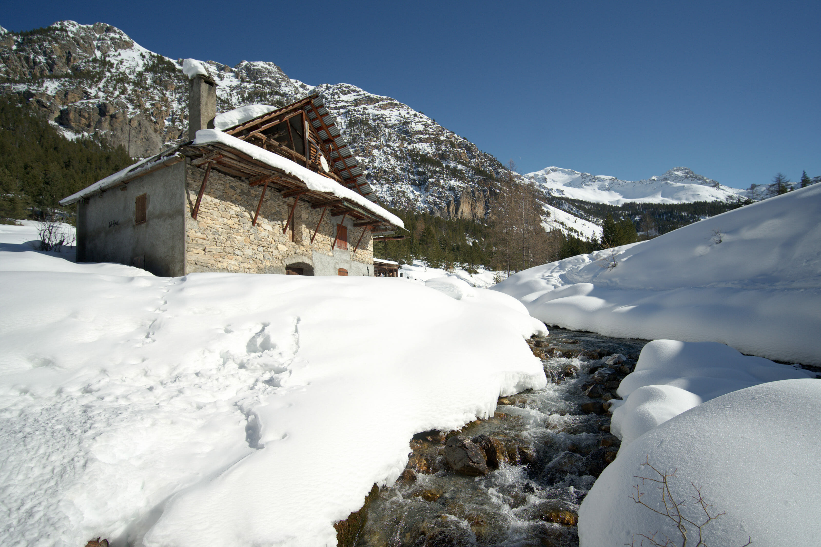
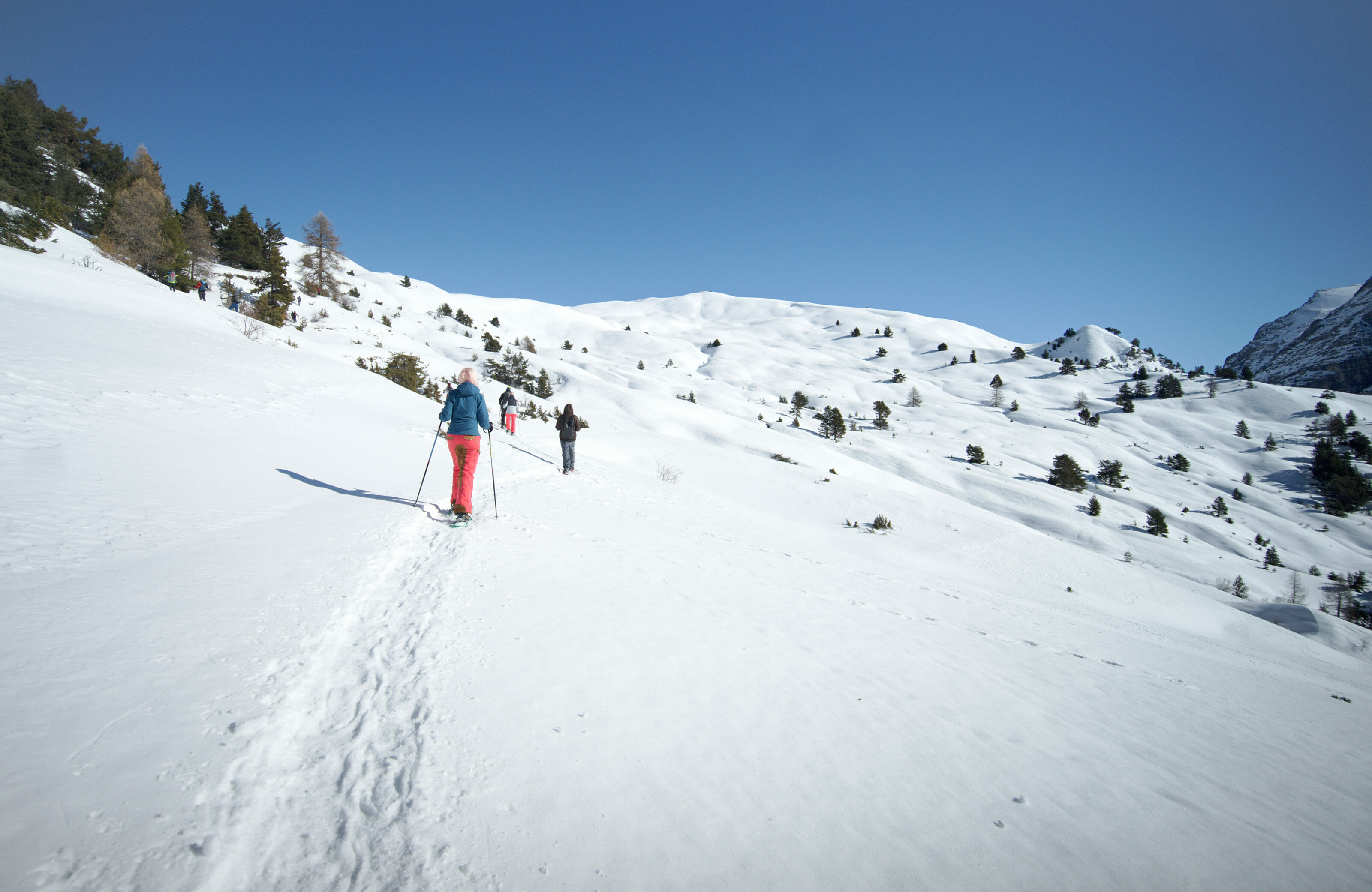
The hike starts just in front of the Auberge de l'Arpelin, on the other side of the small river. For the outward journey we advise you to go up on the left avoiding as much as possible the cross-country ski track (it's nicer for you and for the cross-country skiers 😉 ). When we did the hike, there were several tracks that we could follow that started more on the left of the slope and that allowed us to climb quietly in the forest through very nice landscapes.
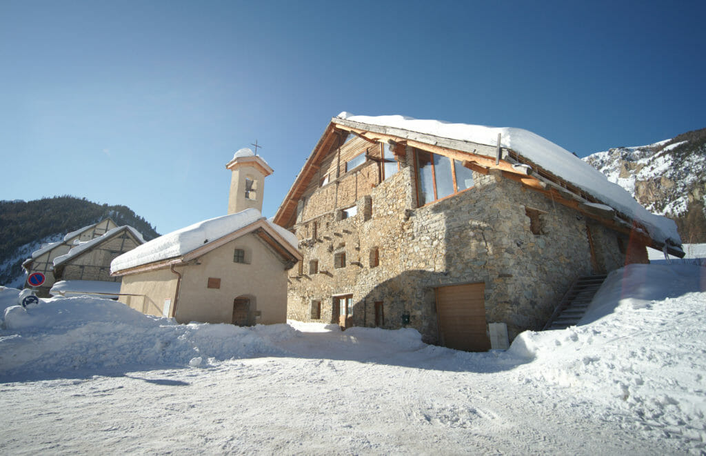
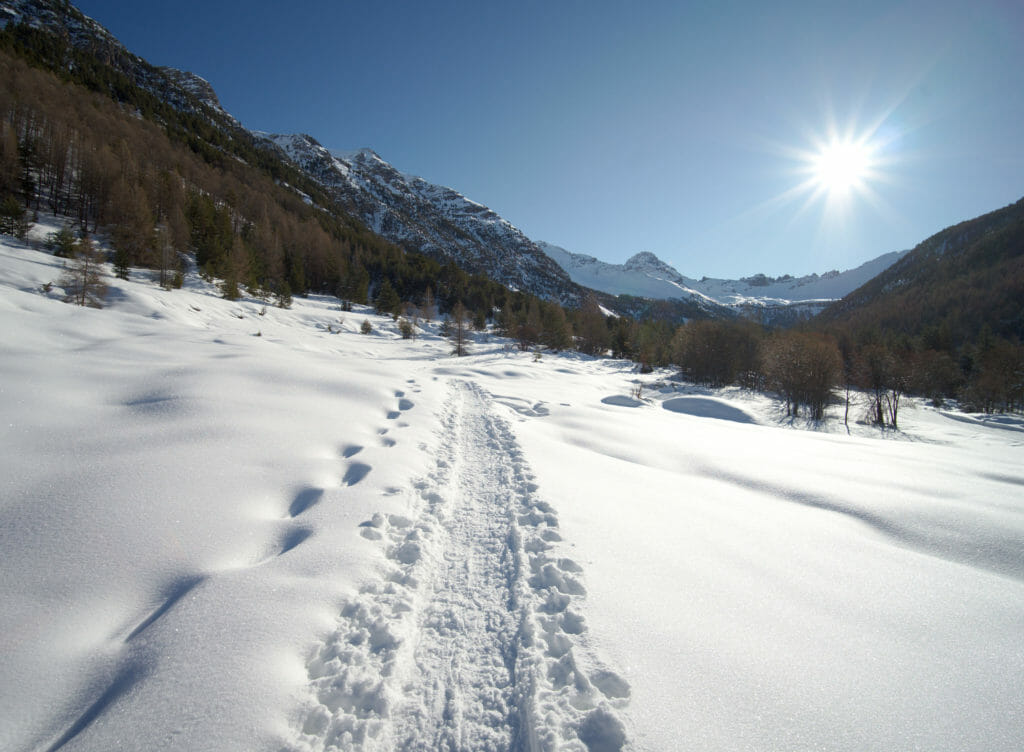
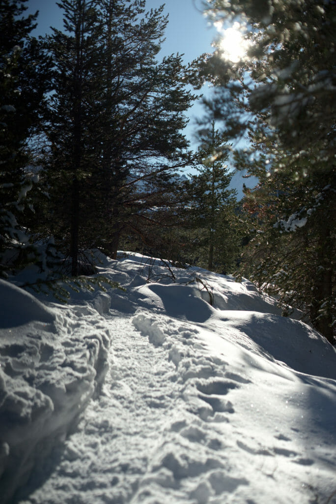
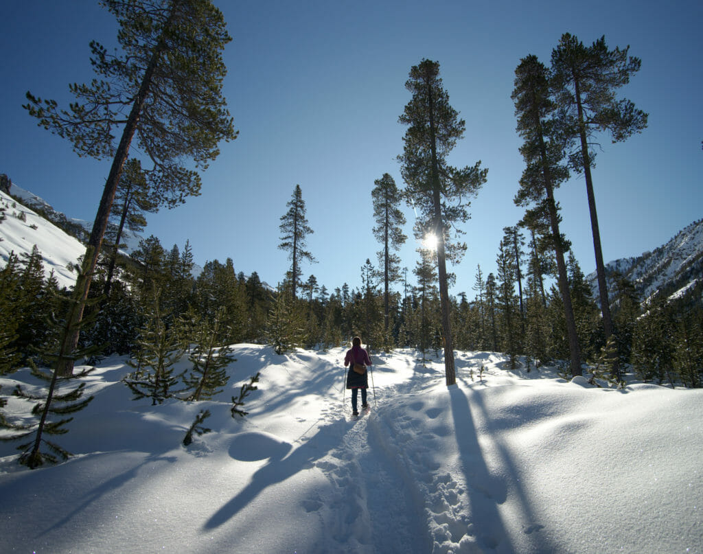
After perhaps 1h30 of quiet ascent, we arrive gently at the end of the valley where we join the groomed track. We also cross several ski touring groups which come down from the various surrounding peaks after probably beautiful descents in the powder snow (it had just snowed 30-50cms). At the end of the trail, we continue to go straight up along the river. This last section before arriving at Les Oules waterfall climbs well! We have to deserve the view on the waterfall right? 🙂 . Finally we made it! The waterfall is very nice and we also have a beautiful view on all the valley which we have just gone up. We take the chance to make a small break in the sun at the edge of the river.
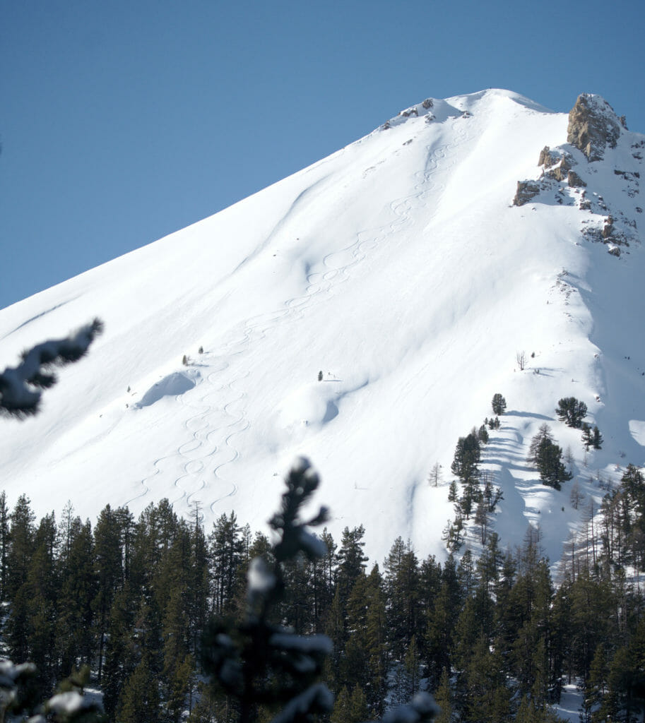
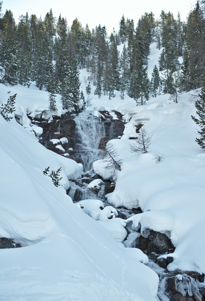
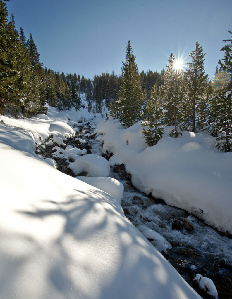
For the return trip, we go back down this time along the river, alternating between the groomed trail or following snowshoe tracks through the forest. Although it took us a little more than 2 hours to go up to the waterfall, it took us just over an hour to go down to the hamlet of Le Laus. We'll end this hike with a good meal on the beautiful sunny terrace of the Auberge de l'Arpelin... What else! 😉
Useful Infos
- Distance 8.7kms
- Deniv. +- 460m
- Duration 3-4 hours
- Difficulty eays
Cervieres: loop through the sheepfold of Peyre Moute with snowshoes
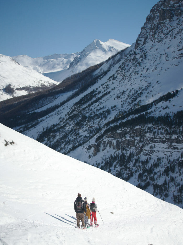
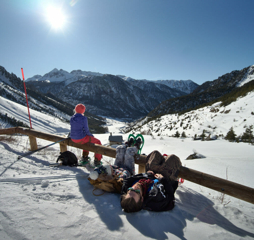
As we are nice people we saved our favorite snowshoe hike for the end 😉 . For this loop, we had taken with us a whole group of people from the coliving to make them discover snowshoeing. Apart from Fabienne and me, it was the first time for everyone so we made a special effort to find a nice hike that would make them want to try the experience more than once again 😉
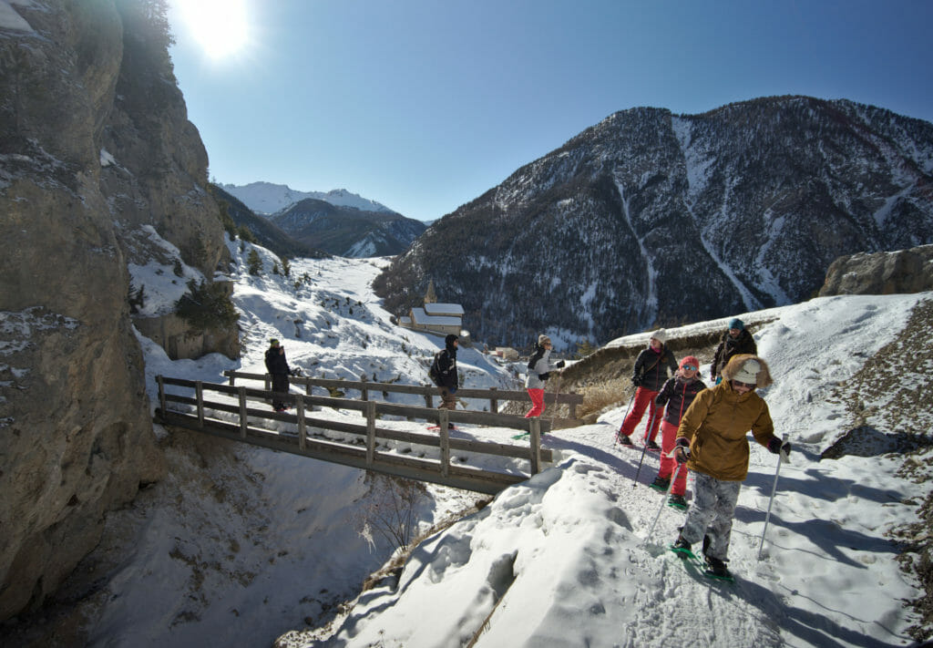
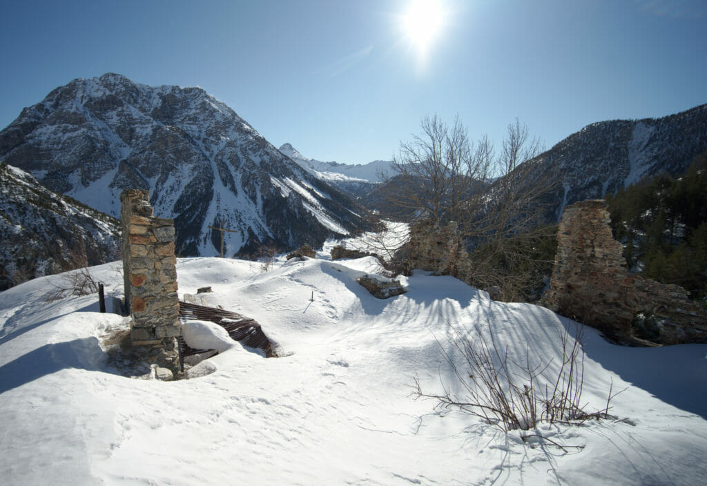
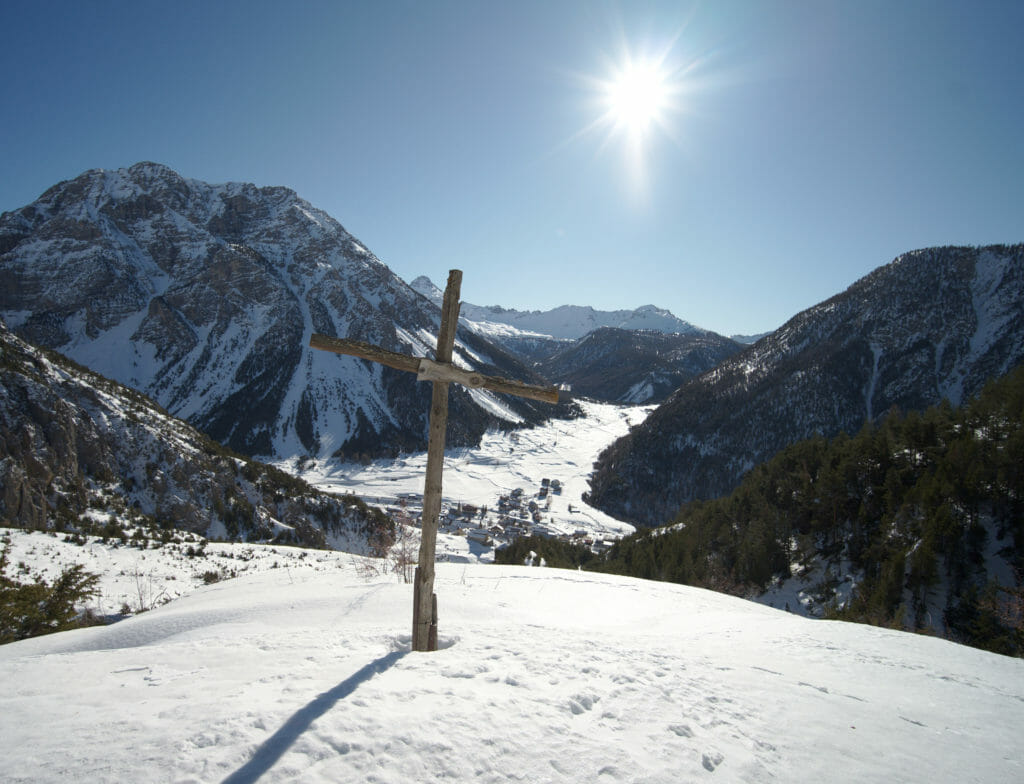
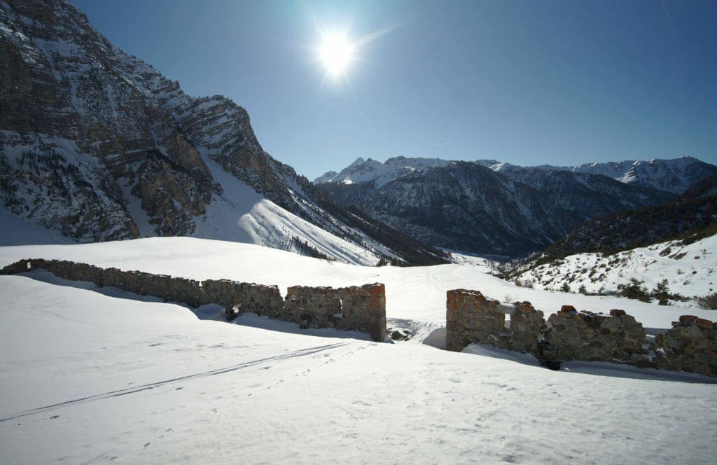
This hike starts in the village of Cervières. You can park your car just after the bridge on the right side of the river or on the small car park under the church of Saint Michel. The path starts by going up on the left side of the church crossing the river on a wooden bridge. The landscapes are already very beautiful as you have a beautiful view over the valley and the rocks have a nice orange colour. After half an hour, we arrive at the level of some ruined houses where we take a first break.
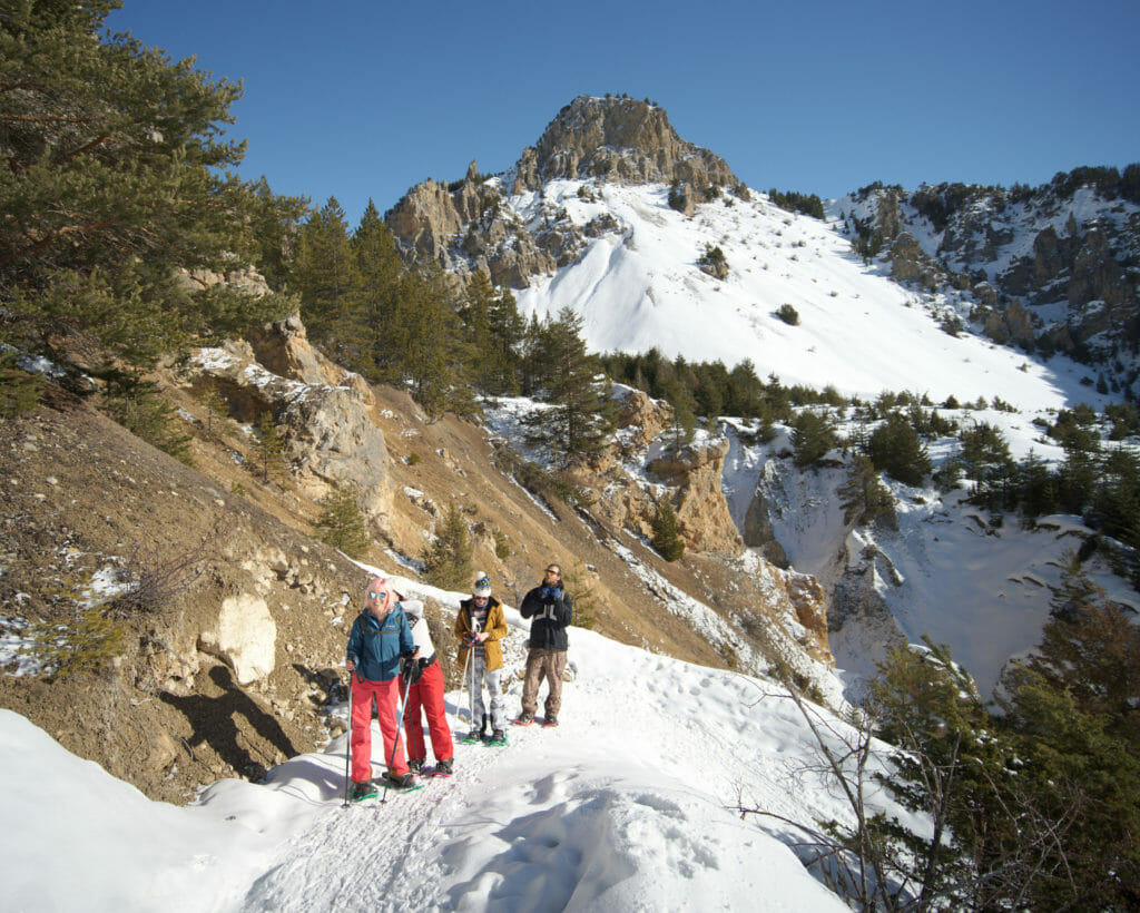
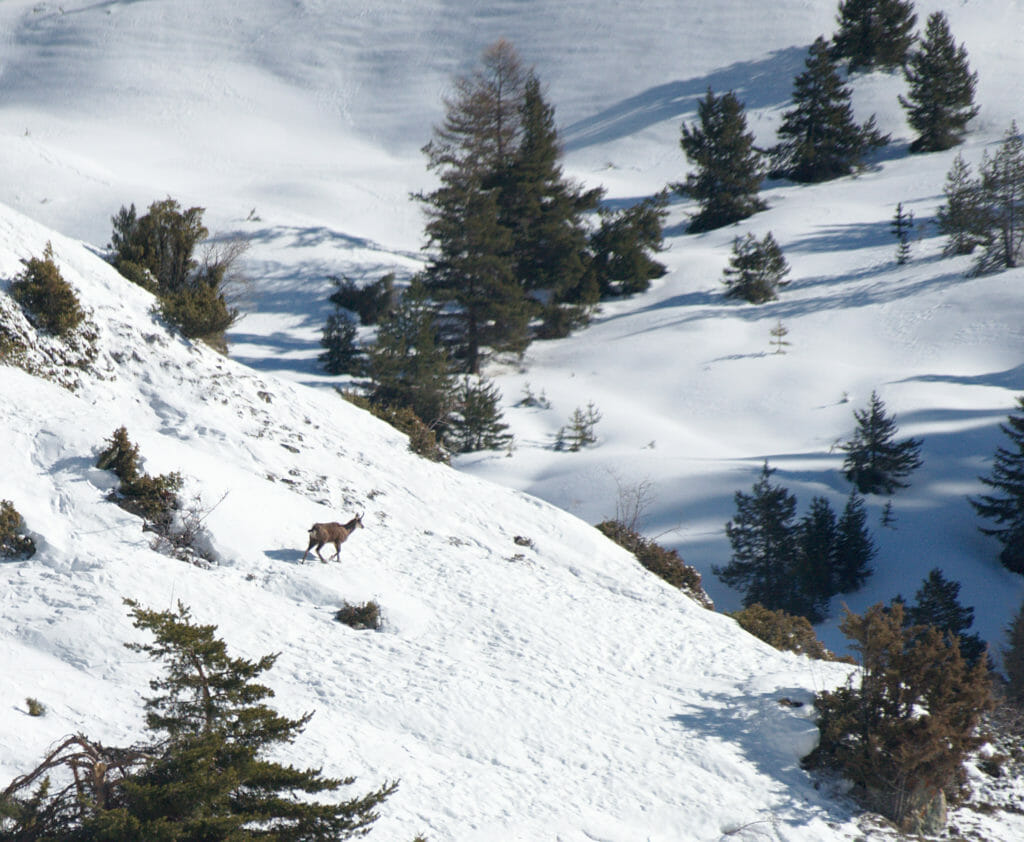
We continue our climb towards the sheepfold. We even have the chance to see a chamois passing a few hundred meters away from us. That morning, a group of snowshoe hikers was in front of us... a piece of advice, don't do as I did and don't assume that the snowshoe tracks go to the right place. By following them, we found ourselves a little too low, whereas if we had followed the GPX track, we would have arrived right on the sheepfold of Peyre Moute. But anyway, even if we made a small detour, we're enjoying the views and the atmosphere is great. Once arrived at the sheepfold, we take a short break to have a picnic in the sun.
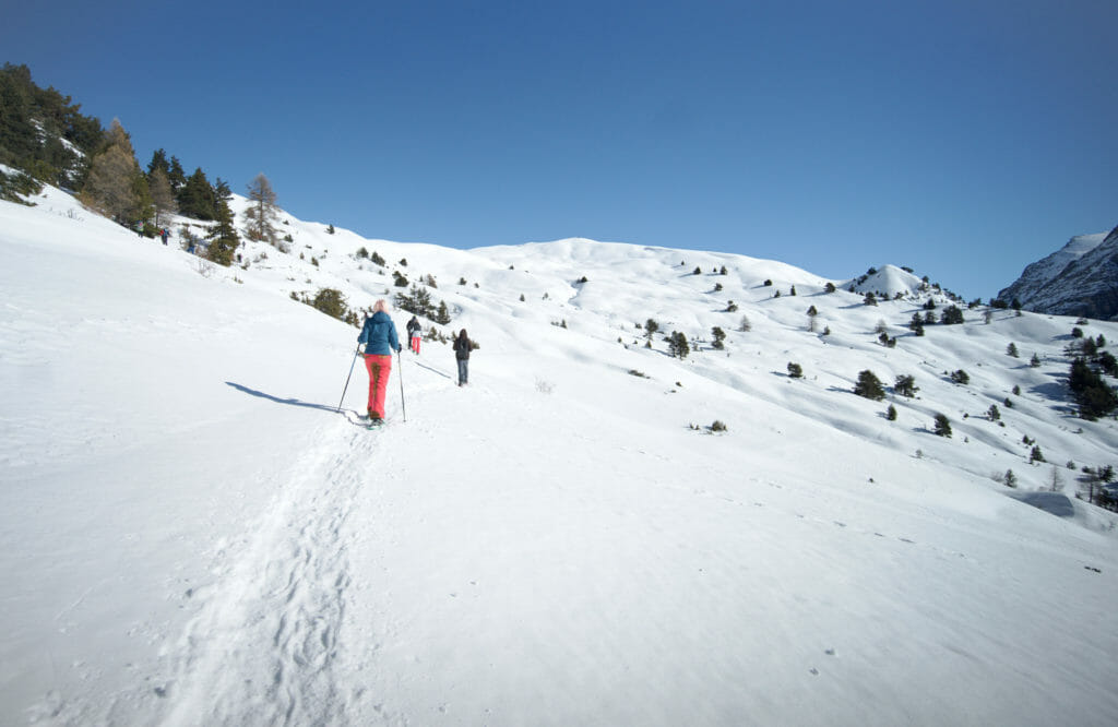
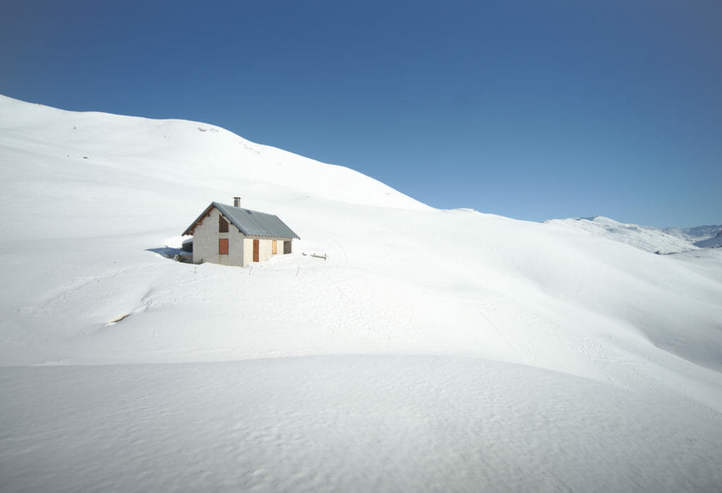
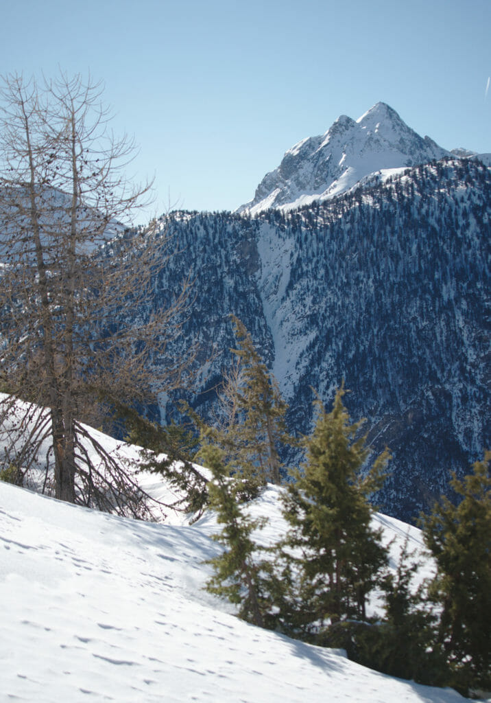
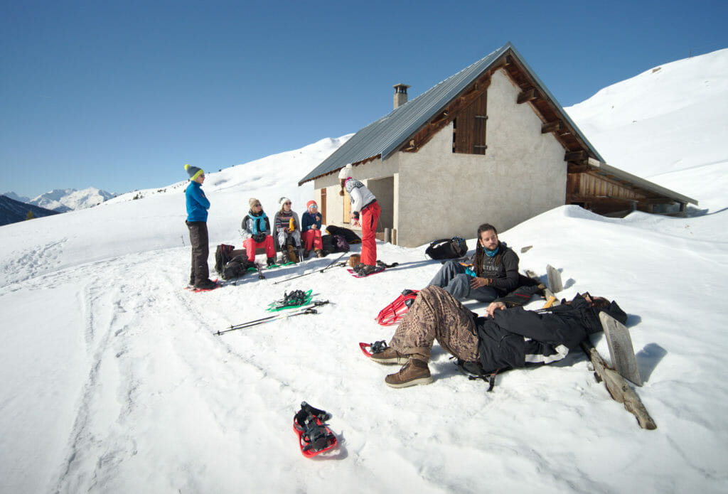
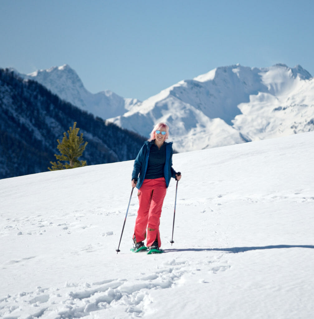
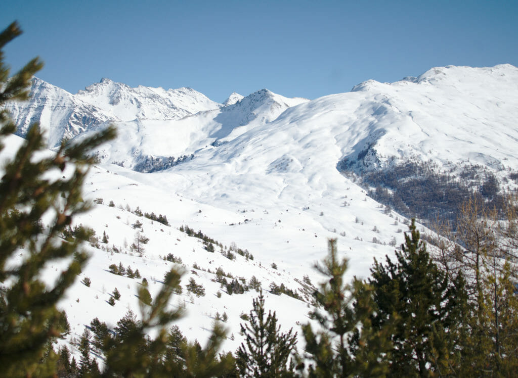
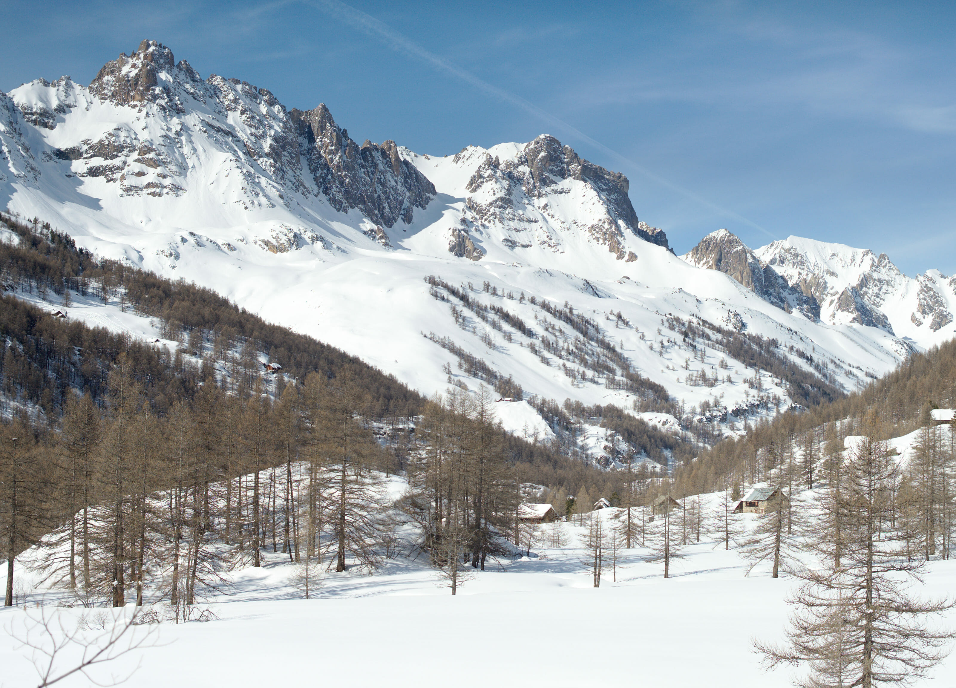
Since the sheepfold, we have almost finished going up... we can say that the hardest part is done and some of our roommates are not unhappy to learn that there is mainly descent left 😉 . On this part of the hike, no snowshoe tracks to follow. So I'm quite happy to have the GPX to guide all this little crowd without making too many detours. From up there we have a magnificent view on a preserved (and isolated in winter) valley ... Besides there are several people on instagram who recommended us to come back to the bottom of this valley in summer to hike (it's called "les Fonds" which means the bottom in french lol).
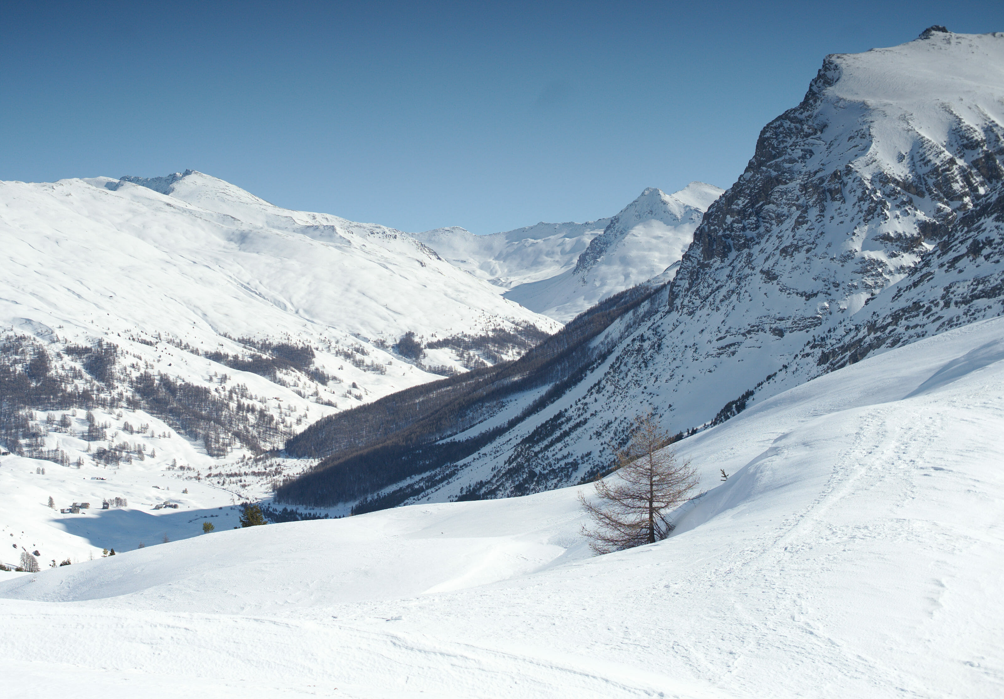
We go down a small valley in the direction of the hamlet of La Chau. But instead of going to the hamlet, we cut to the right to save some time and reach the "Mur des Aîttes" and the road to the "Fonds de Cervières". After 4-5 hours of walking, the group begins to get tired, but we just have to come back to Cervières following the track. We will reward our efforts by drinking a good hot chocolate made from sheep's milk (so much creamier 🙂 ) at the bar of the Hotel d'Izoard, which we highly recommend!
Useful Infos
- Distance 7.5kms
- Deniv +- 550m
- Duration 4-5 hours
- Difficulty medium
That's the end of our snowshoe hiking discoveries around Briançon (4 nice hikes in only 3 weeks is not so bad, is it?). We hope that it will make you want to come for a walk in the Hautes-Alpes in winter or to try snowshoeing if you have never tried it before. And if you know the area and have suggestions for nice winter hikes in the area, please feel free to share them with us in the comment section below.
We'll see you soon for a 100% ski article in the Briançon area!
Update: The article about skiing in the area is live here.
Pin it on Pinterest

Join the discussion