Having lived in Valais for several years, we are now based in the magnificent Val d’Hérens. We love our region, but that doesn’t stop us from making a few little infidelities from time to time…
Last week, we took the dog and the van and set off for 3 days in the Binn valley, a region we knew absolutely nothing about except that we’d discovered it when we were researching an authentic valley in which to open our coliving 😉
Spoil: we hadn’t really considered it for our project, as it seemed a little too isolated for our taste to live there all year round (and, above all, more difficult for our customers to access).
Anyway, today we’re taking you on a 3-day exploration of the Binntal Nature Park.
- Ernen: Visit the village at the entrance to the Binn valley
- Goms Bridge : suspended bridge in Mühlebach
- Binn village and its surroundings
- Binntal: a valley famous for its minerals
- Hike in Binn : Loop hike to the Schaplersee
- Eggerhorn hike or trail from Binn
- Camping Giessen – a beautiful, peaceful campsite in a perfect location
- More hiking ideas in and around Binntal
Ernen: Visit the village at the entrance to the Binn valley
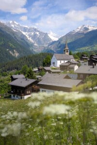
Arriving in the Binntal, you’ll automatically pass through the small village of Ernen. Situated at an altitude of 1,200m, it’s well worth a visit! Since 2016, Ernen has been part of the association of Switzerland’s most beautiful villages (Evolène is also on this list of 43 villages to see in Switzerland) 😉
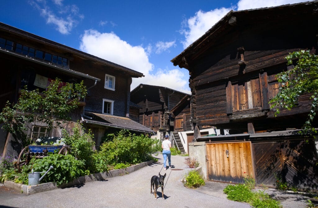
As you stroll through the village, you’ll quickly understand why it’s in this category: the architecture is typical and, above all, remarkably well-preserved. Many of the houses still feature facades made of tiny wooden tiles. I’m not sure how to describe it more clearly, but it’s really very pretty.
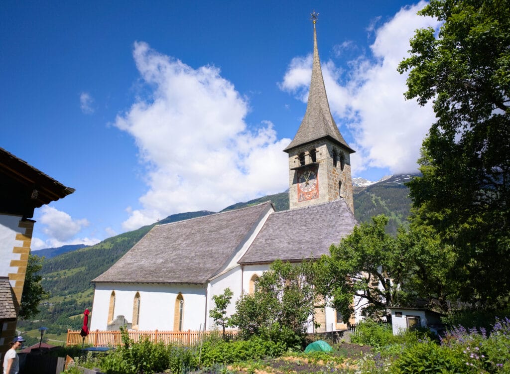
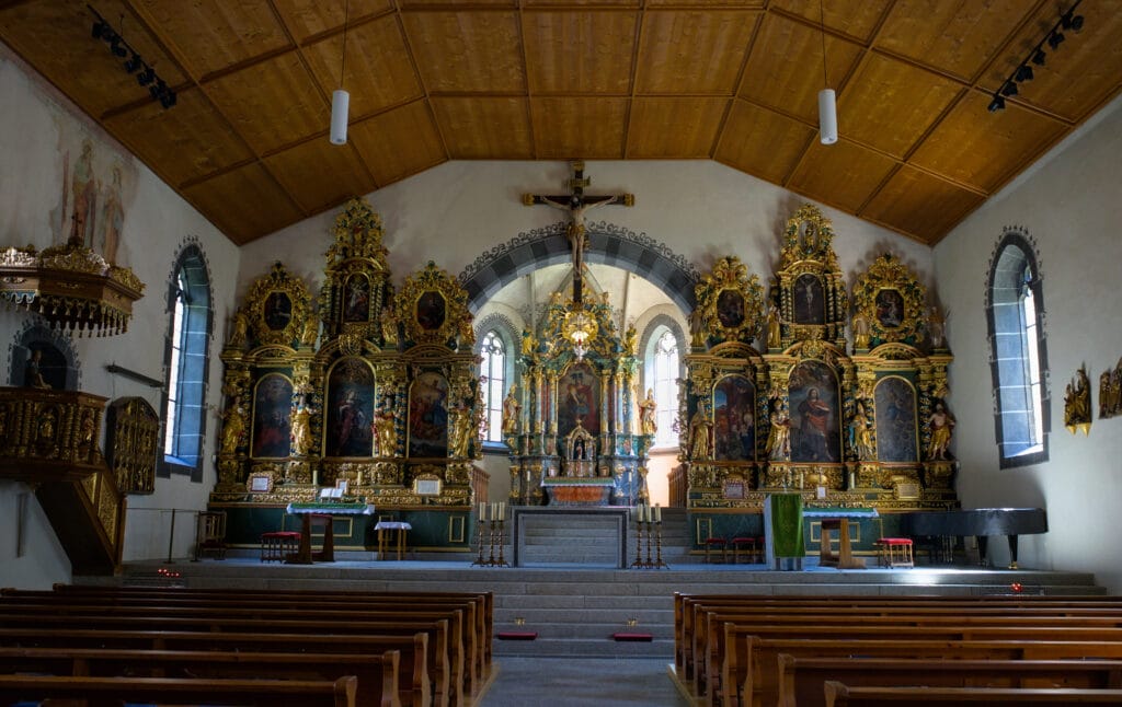
From a historical point of view, Saint-Georges church is the place to be! Set back slightly from the village center, it offers a superb panoramic view over the valley. The first traces of the church date back to 1212, but the oldest surviving remains date from the 1500s. It’s well worth pushing open the large wooden door to take a look inside!
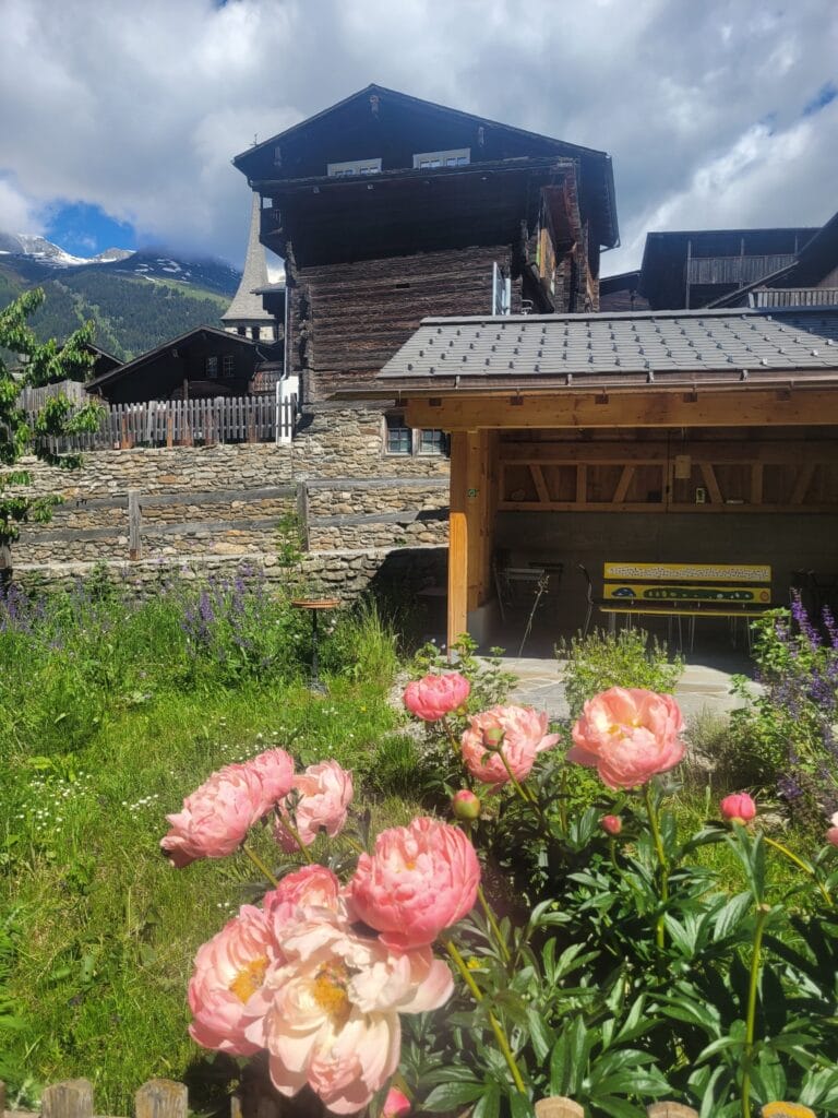
If you’re feeling peckish, we recommend the terrace of Sport Café (a sports store that doubles as a bistro) 😉 And if you ever want to work, we’ve even spotted a coworking space in the village… We thought we were crazy to set up a public coworking space in Les Haudères, but it looks like we’re not the only ones 😉 We didn’t make it (this time), but we admire the effort made by the commune and the tourist office! The coworking website
Goms Bridge : suspended bridge in Mühlebach
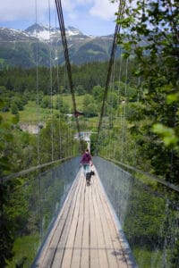
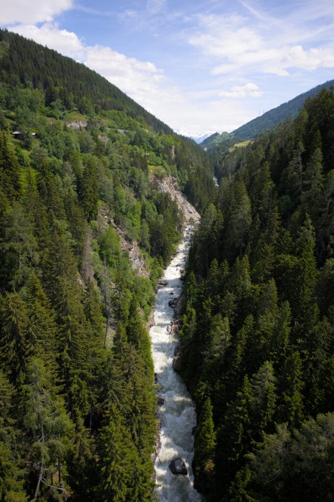
If you’re passing through Ernen, we recommend that you continue along the road through the village to Mühlenbach and take a look at the Goms suspension bridge. This 290m-long bridge overhangs the Lamma Gorge and the Rhone at a height of 92m, linking Mühlenbach to Fürgangen.
It is, of course, possible to plan a longer hike in the surrounding area (you can find examples on the aletsch area website).
But for our part, we simply decided to park in the village and take a round trip to see the bridge. There’s plenty of free parking just outside the village, and it’s a 10-minute walk to the bridge.
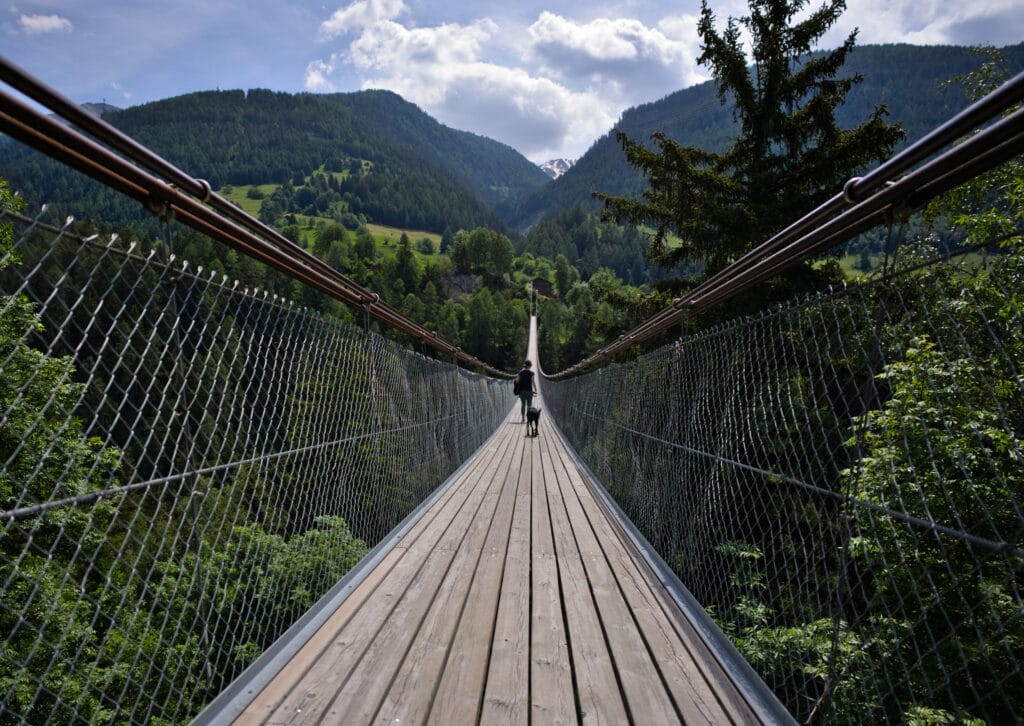
If you’re feeling peckish or fancy a drink, you can stop off at the Hängebrigge B&B, just 2 steps from the bridge. We stopped there after our visit and I think it was the nicest place we saw during our stay. The team, their smiles and even the little cookies for Winchy, everything was perfect.
For the record, the Kummer family runs the establishment. The name doesn’t ring a bell? Then you’re probably not a snowboard fan… 😉 It’s the family of Patrizia Kummer, multiple winner of the crystal globe and gold medallist at the Sochi Olympics in parallel giant slalom. Her trophies and cups are on display inside.
And if you really don’t feel like leaving, you can also stay overnight. Of course, as we’re in a van, we didn’t sleep there, but there’s no doubt that the welcome is ultra warm.
If you’re planning a trip to Switzerland or if you live here and wish to discover some new spots, don’t miss our new ebook. Released in May 2025, this 75-page guide will help you prepare for your upcoming stay in Switzerland. We’ve compiled all our best tips and tricks for visiting our beloved little country without breaking the bank. You’ll find advice on transportation, accommodations, where to shop, as well as a list of free activities and events throughout the seasons, along with our personal recommendations for hikes and must-see spots, and a selection of off-the-beaten-path itineraries (with estimated budgets). This ultra-complete guide also includes a fantastic interactive map featuring over 500 addresses and deals.
To learn more about the ebook and the interactive map, the introductory article is available here.
Binn village and its surroundings
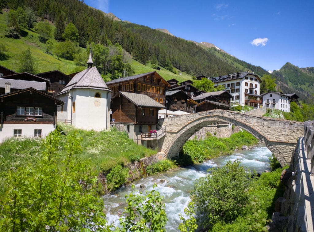
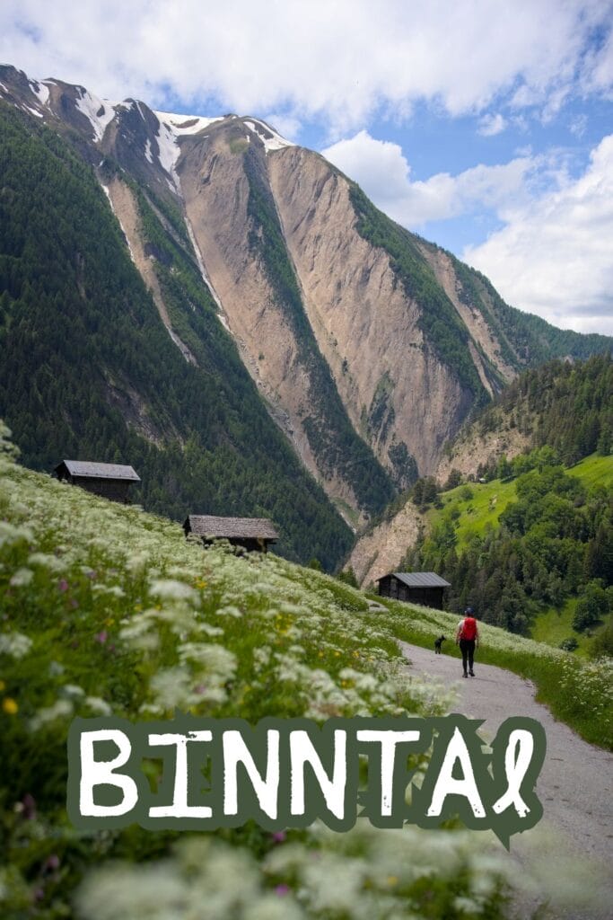
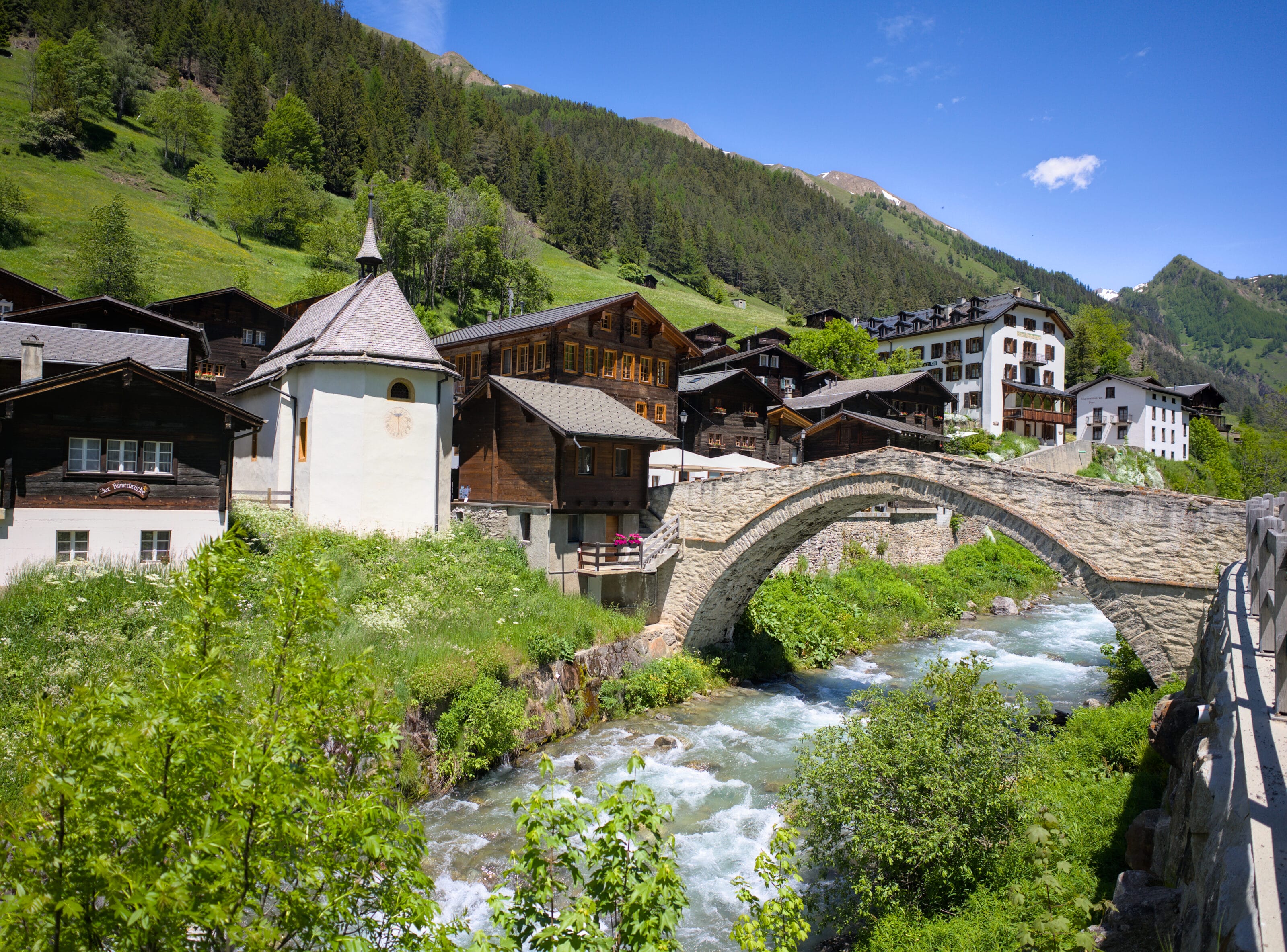
From Ernen, it’s back on the road to Binn, the small village that gives the valley its name. Nestled at 1400m, Binn has a year-round population of just 147. You’d think you’d arrived at the end of the world… And yet, as you stroll through the streets, you can still detect a little hustle and bustle.
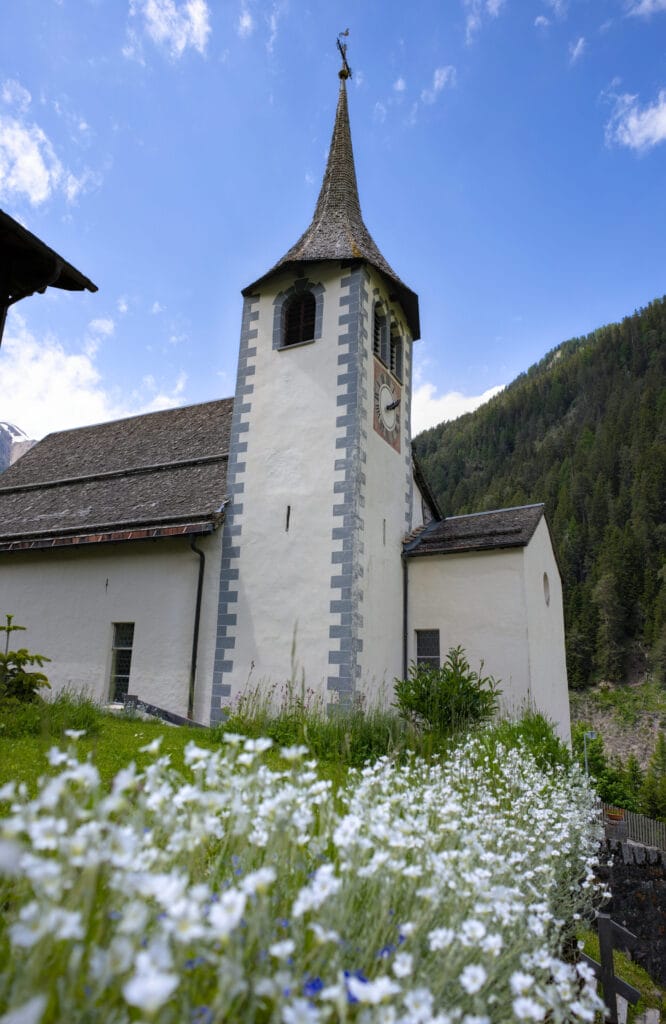
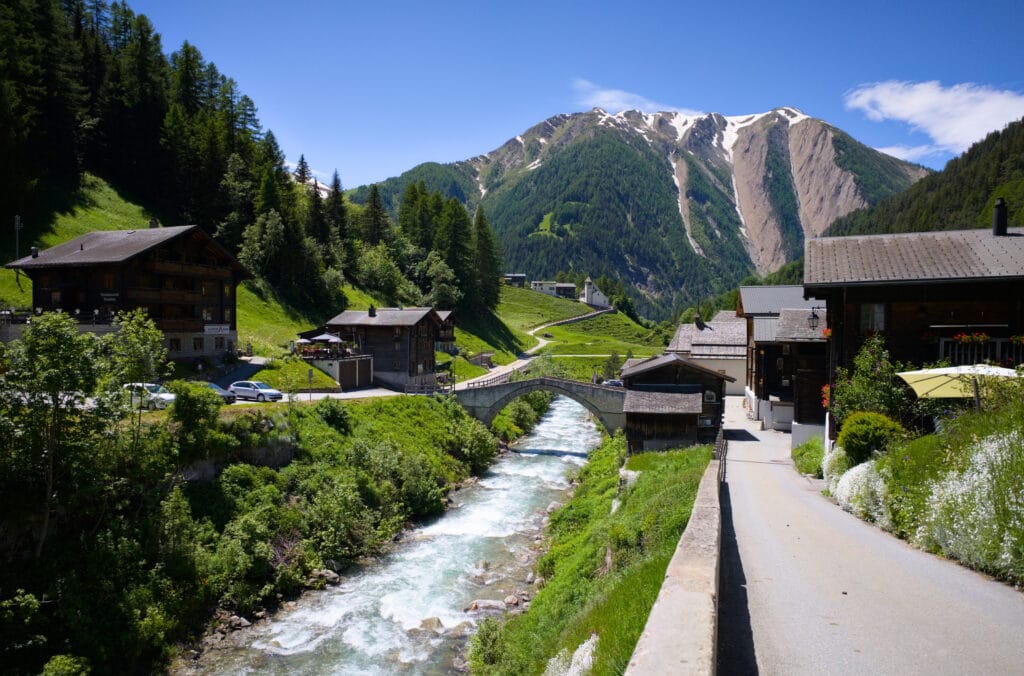
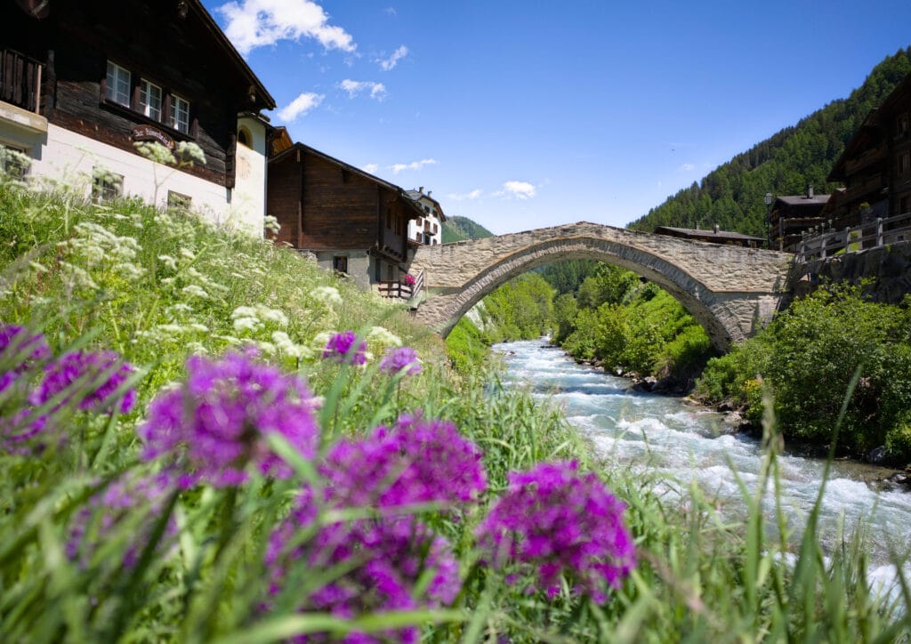
Several hikers enjoying a drink on the terrace of the iconic Hotel Offenhorn (a hotel opened in the 19th century during the period of English tourism in the valley), the terrace right next to the old stone bridge shows the Euro matches on a screen, and on the other bank you can see the customers of the Alburn gourmet restaurant finishing their coffee on the terrace.
In terms of shops, the offer is relatively modest, but it has the merit of being there. The small Volg store in the center of the village has a little of everything, or rather, all the essentials.
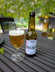
We were surprised to find that there was even a craft brewery in the village! Unfortunately, we didn’t manage to see the brewery open or buy their beers at Volg, which doesn’t sell them… too bad! But don’t worry, if we couldn’t bring any back, we did get to taste the local beer on one of our hikes 😉 More info on this great brewery, which only works super-locally (they have their own hop house), on their website.
Twingi gorge trail and Lake Binn (Ze Binne)
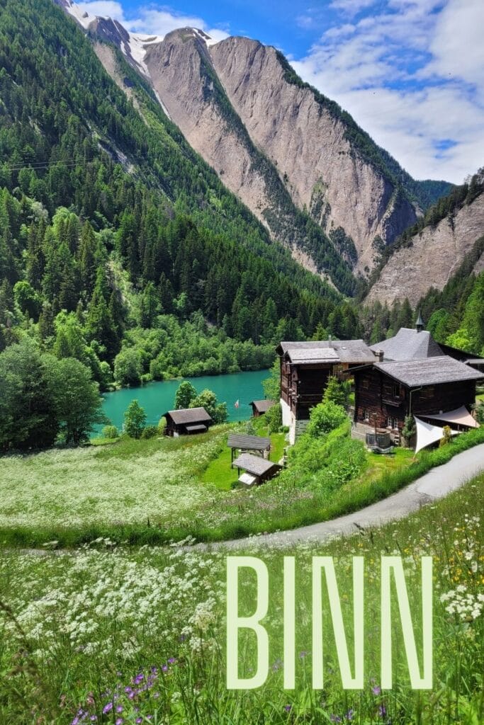
After a short tour of the village (admittedly relatively quick), we headed off in the direction of the small retention lake below the village. Artificial lakes aren’t always the sexiest, but this one’s really cute, and best of all, you can sit down at the super-nice buvette for a drink (that’s where we found the craft beer). More than the lake, we particularly liked the little hamlet that lies just above it. I’m not exactly sure how old those houses are, but some looked very old but perfectly restored!
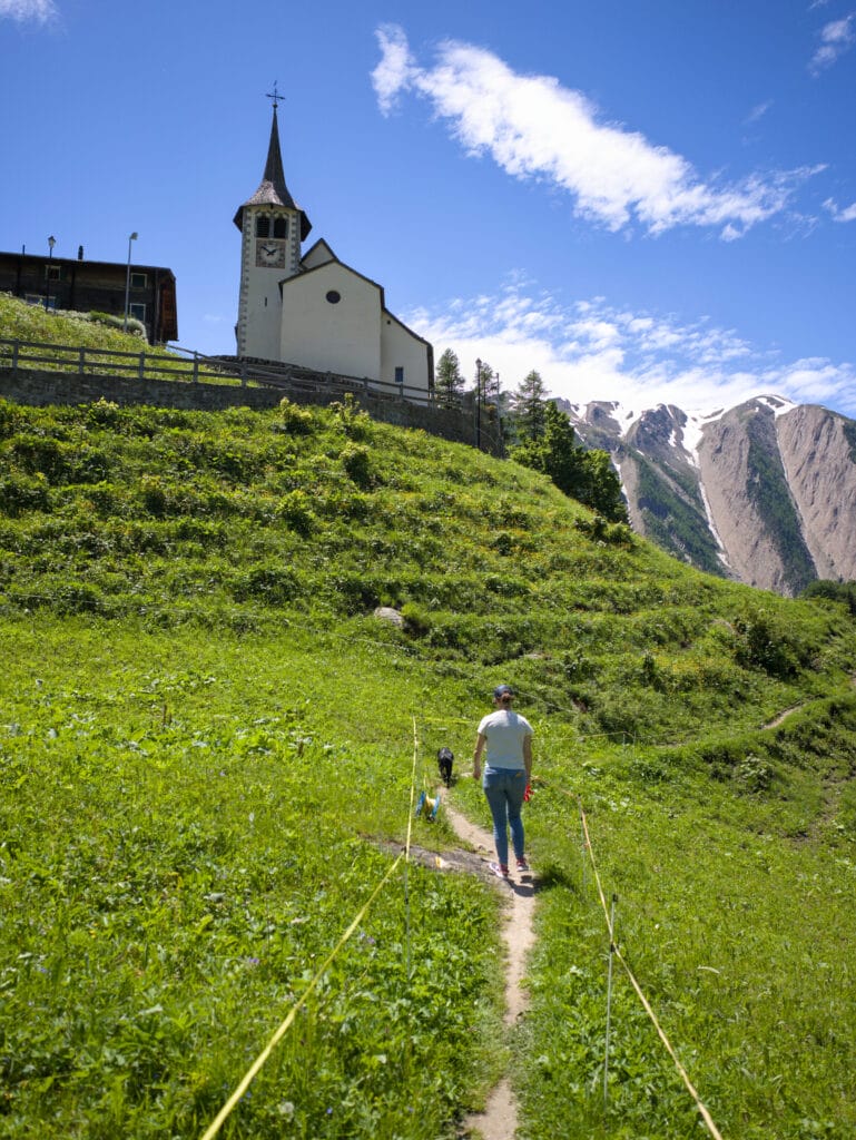
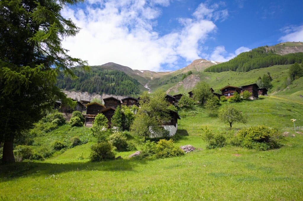
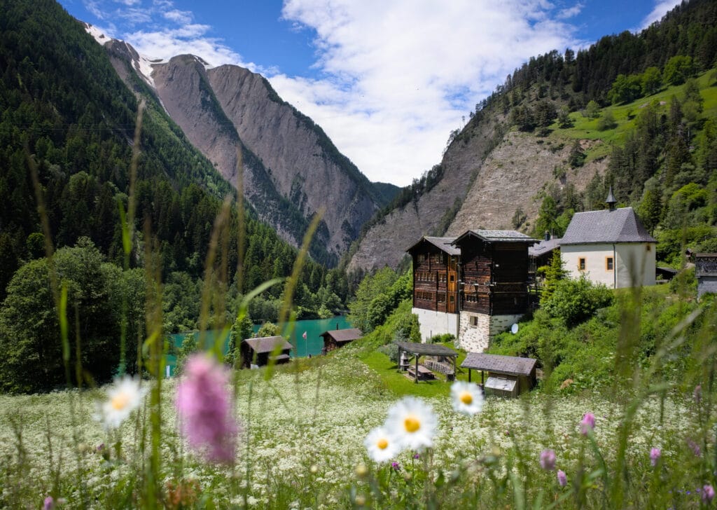
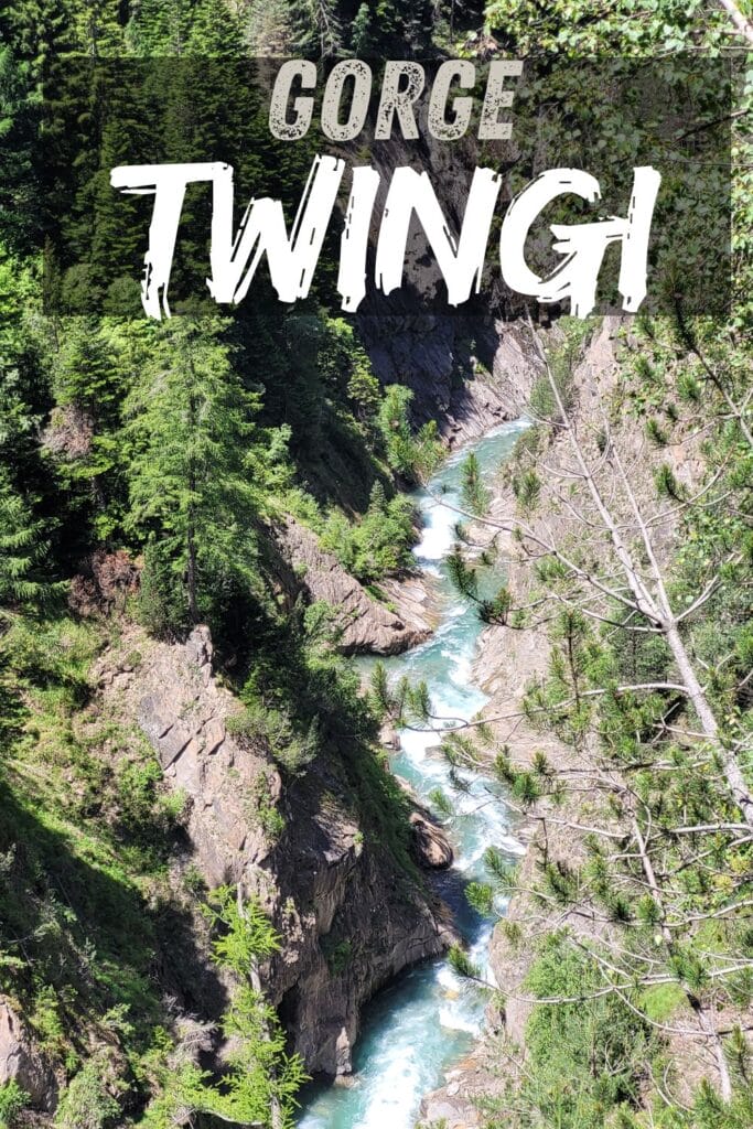
From the lake, the trail continues into the Twingi Gorge. Here the path follows what was once a Roman road and then the only access road to the village of Binn. In 1910, it was transformed into a rudimentary carriageway. This road was very practical at the time, but it was also extremely dangerous due to the risk of falling rocks (especially in winter), and it was very often the case that the village of Binn was completely cut off from the world for long weeks at a time. In 1964, it was decided to build the current tunnel to facilitate traffic, and the old road was virtually abandoned.
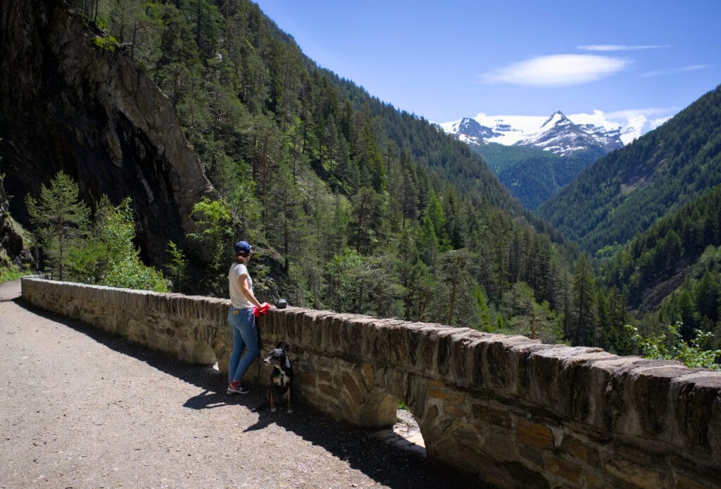
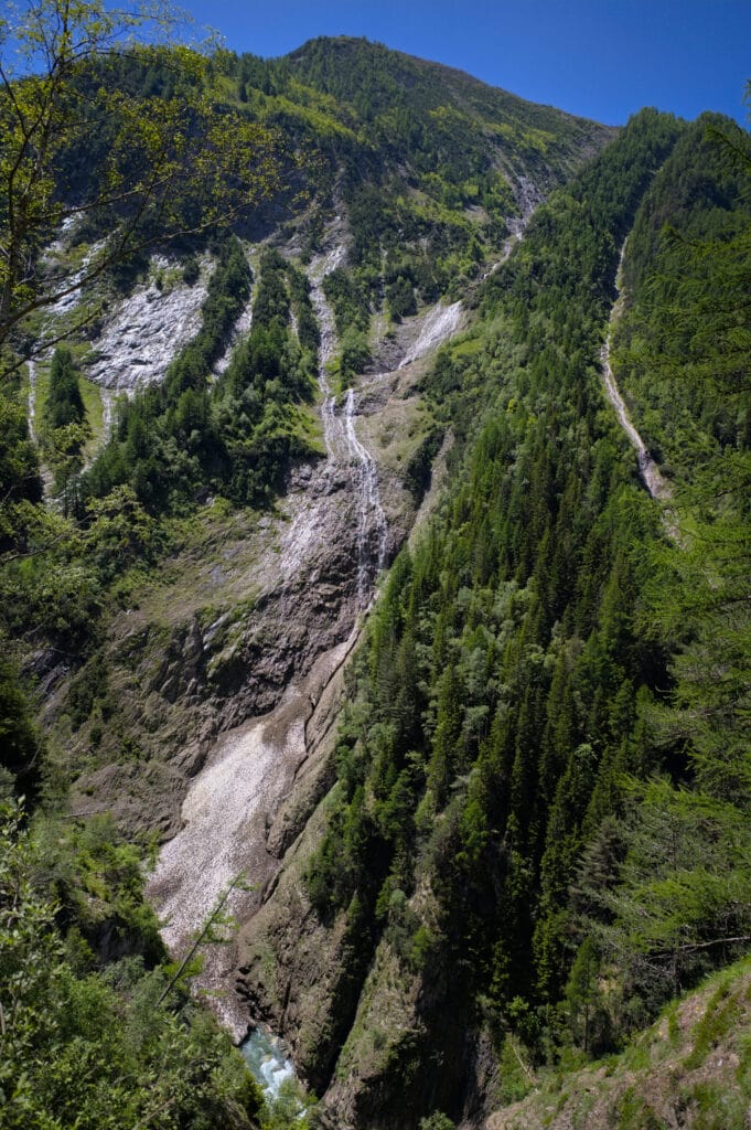
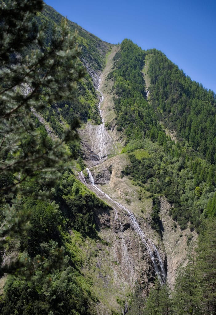
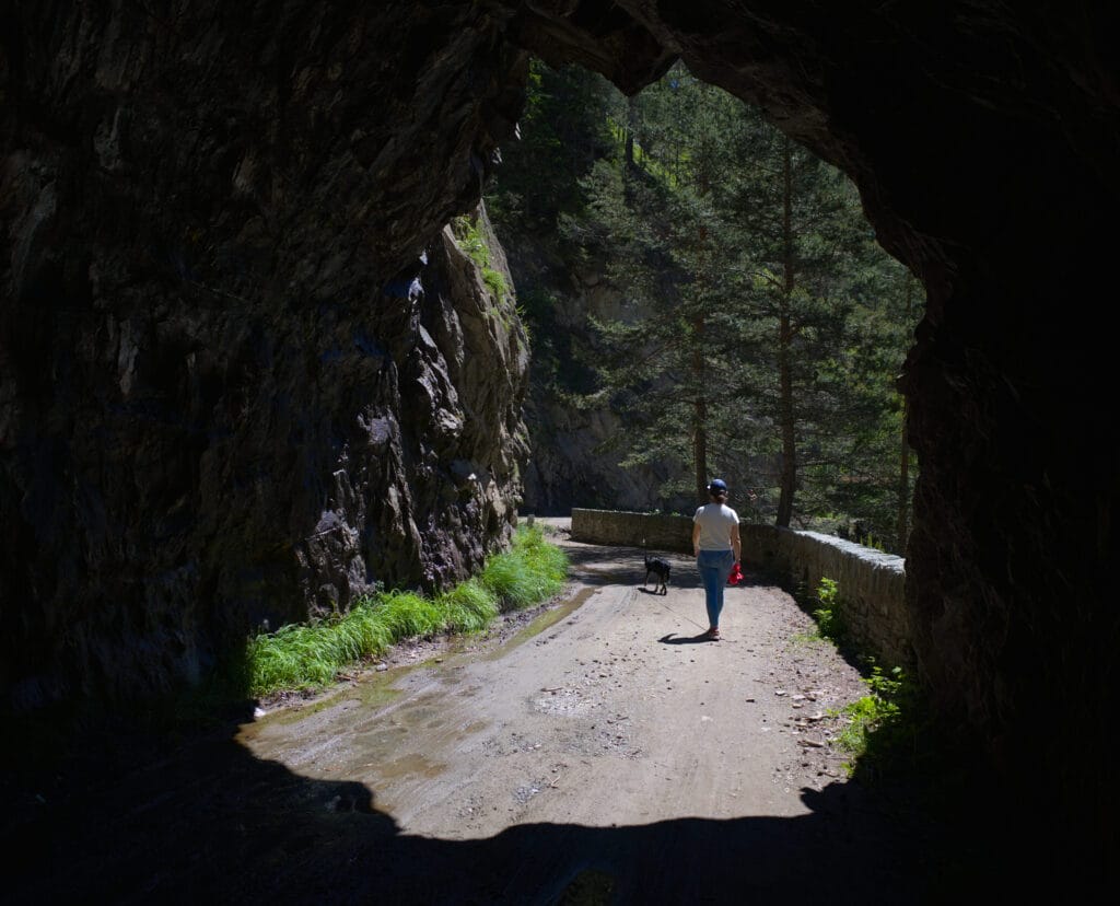
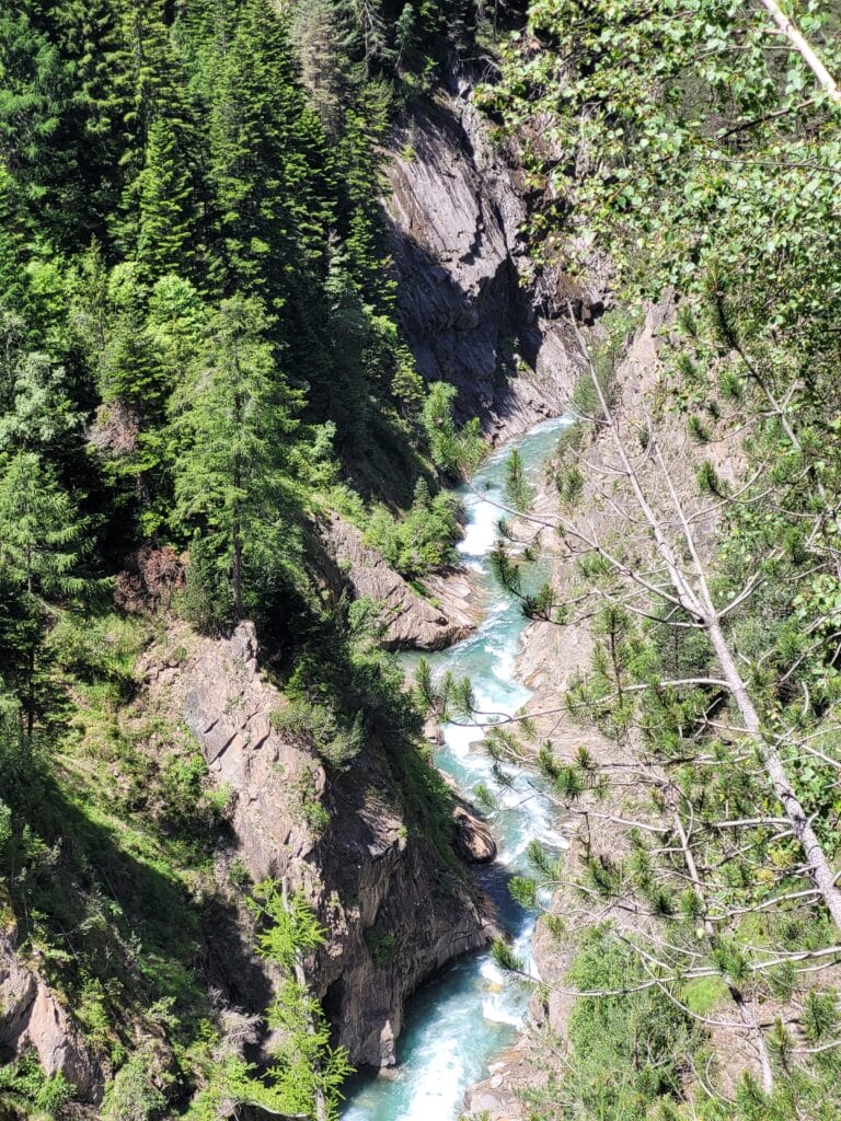
It was only in 2010, on the initiative of the nature park and for tourism purposes, that this route was redeveloped and made safe to offer hikers a breathtaking panorama of the gorge.
The Roman bridge of Binn
As you leave the gorge, you come to a small parking lot at the entrance to the large tunnel. It’s absolutely possible to turn back here, but if you’re curious and want to discover an ancient Roman bridge, you can continue for another fifteen minutes. Follow the road for a few meters in the direction of the plain, then follow the path down to the river on your left.
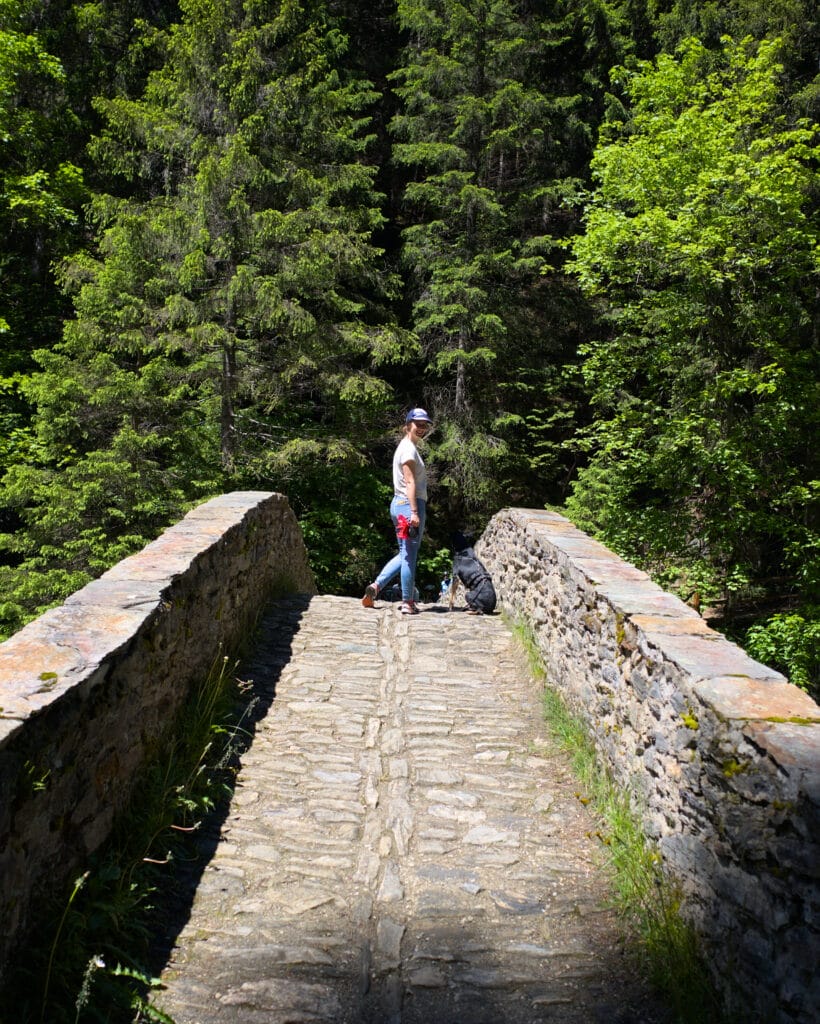
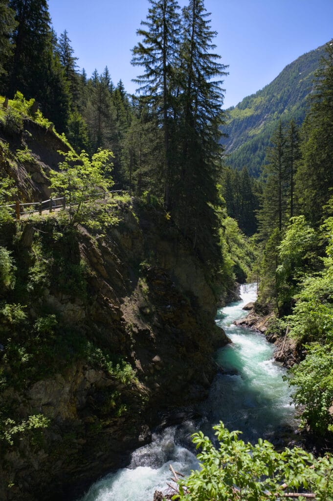
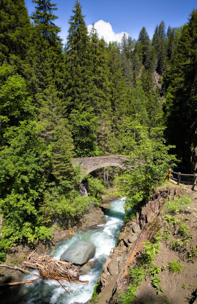
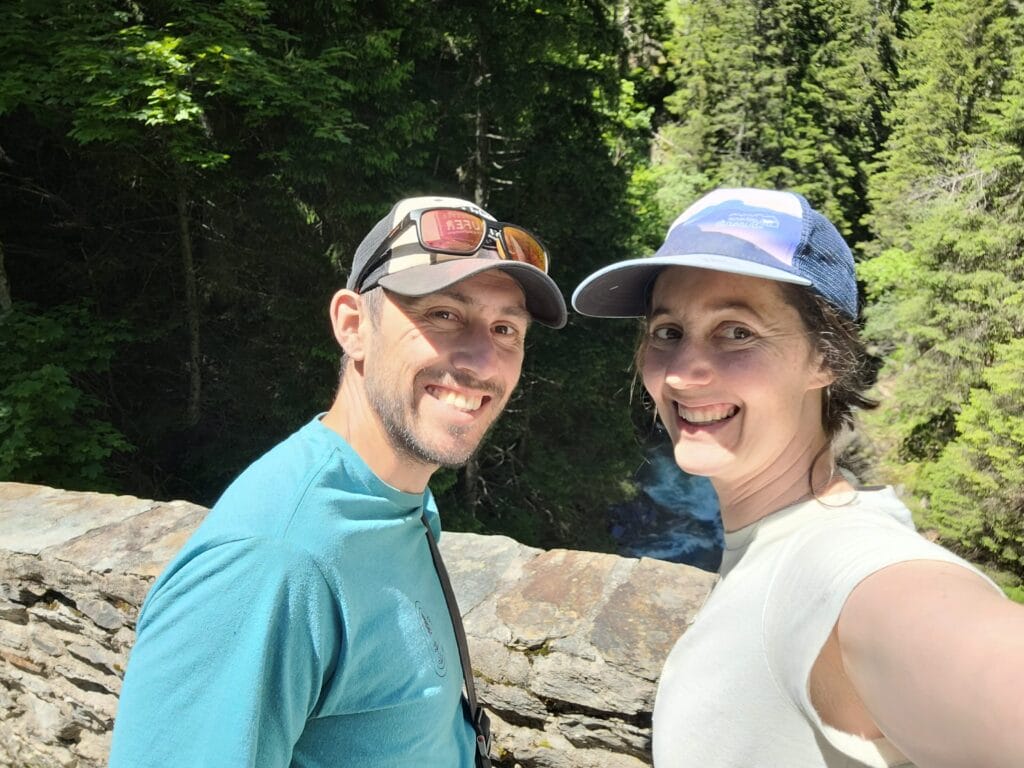
Dating from 1540, this bridge is a reminder of the importance of the Roman road that linked Grengiols to the Albrun pass and Italy.
Continue hiking to Grenigiols
Once at the bridge, you have roughly 2 options: retrace your steps to Binn or the bus stop just before the tunnel, or continue along the Roman road towards Grengiols.
We had considered this itinerary, but decided against it for lack of time, and also because we had seen that the famous tulip trail was partially closed due to a landslide. Yes, Grengiols is a village famous for its incredible tulip fields in spring (roughly from mid-May). We couldn’t find any information online as to whether or not they were still there in mid-June…
The history of the Grengiols tulips is rather strange… They’ve been around naturally since the dawn of time, and nobody really knows how they got there. They are a rather special variety. The nearest species is found… in Turkey! They had almost completely disappeared by mid-century due to the development of agriculture in the region, but in recent decades the species has been protected, and in 2009 a trail was created around the Chalberweid alp.
Hike information
- Distance : about 12 km
- Elevation change : about 300m+ and 600m-
- Hiking time : about 4h-4h30 by walking at an easy pace
Hiking map :
The complete route described above (from Binn to Grengiols) is around 11km. The round trip is quite feasible, but it may be more interesting to combine it with public transport.
If you finish the route after the gorge, you can take the Fiesch-Binn bus straight back. If you go as far as Grengiols, you’ll have to change at Fiesch. Be sure to check the timetable before you leave, as there are only 6 buses a day to Binn 😉 Alternatively? Start by taking the bus to Grengiols and hike in the opposite direction, so you don’t have to worry about “getting there on time”.
For bus timetables : cff.ch or download the app SBB/CFF
Binntal: a valley famous for its minerals
The Binntal has gained in renown in recent years, particularly in the world of geologists. For reasons of plate movements that I can’t explain, the region has an exceptional mineral diversity. More than 200 types of stone can be found here, a dozen of which are unique to this region and have not been identified anywhere else.
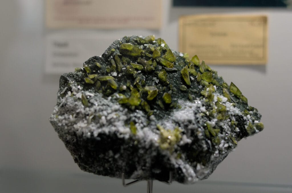
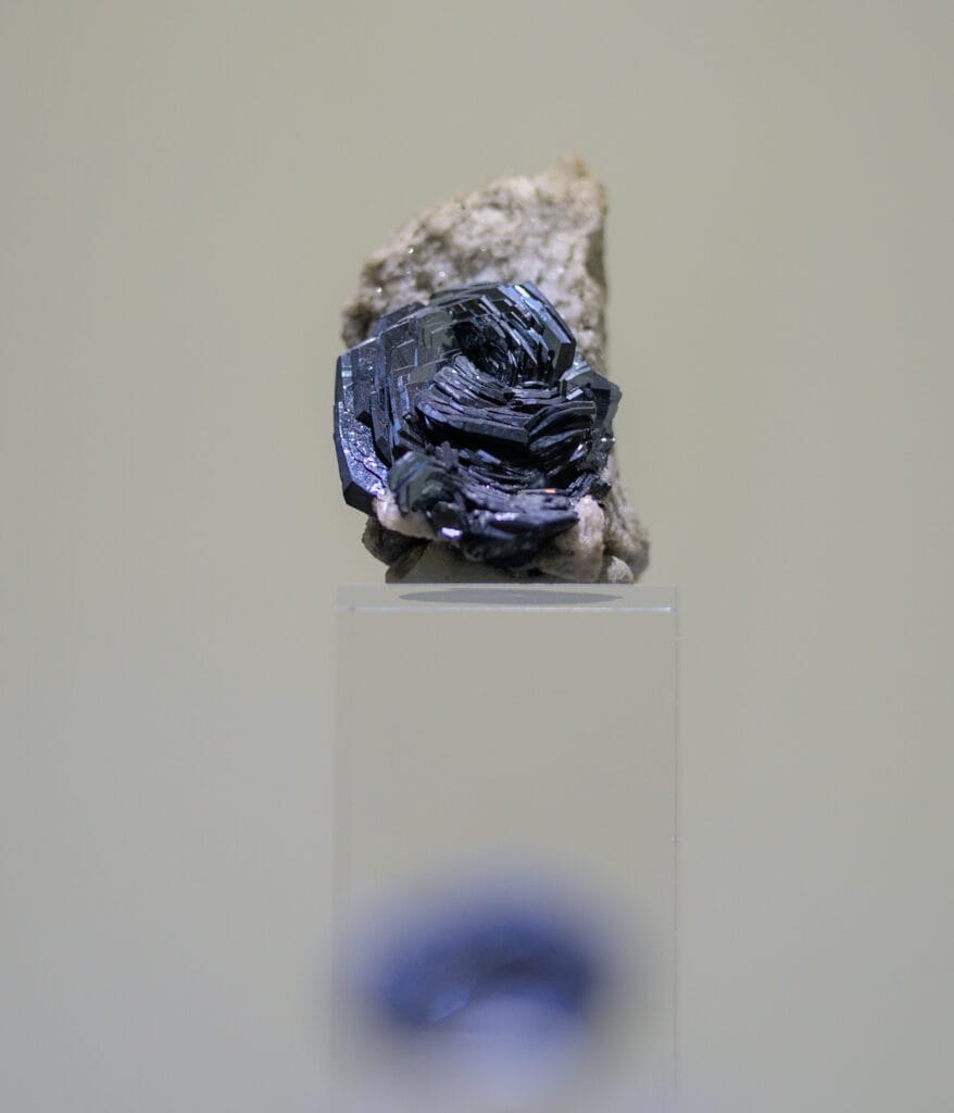
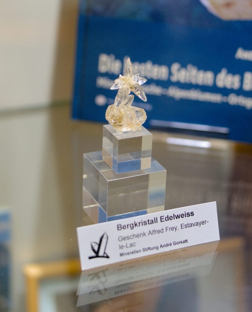
In the past, collecting and selling these stones provided an appreciable additional income for farming families. Today, only a few enthusiasts continue to prospect for these mineral treasures. One such enthusiast is André Gorsatt, who has decided to open a museum devoted 100% to his finds in the Binntal.
We’ll be honest, we’d never heard of Binntal minerals before we went there… But we were intrigued by the various flyers everywhere, so we went to see André Gorsatt’s exhibition. Honestly? It’s well worth it! Unfortunately, the explanations are only in German, but to be honest we had a lot of fun simply observing the different shapes and colors, as well as the many photos showing André Gorsatt crabbing in the mountains in his younger days.
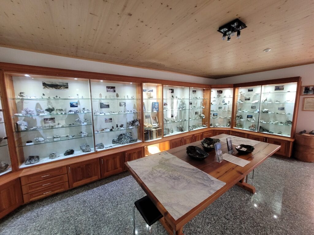
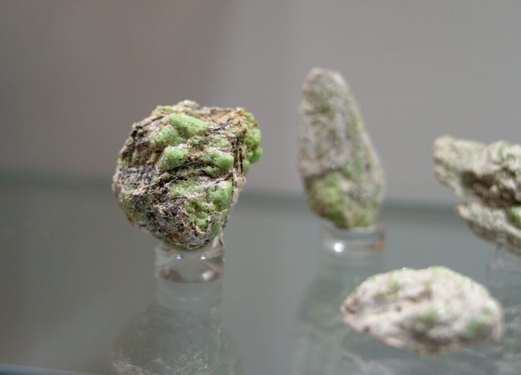
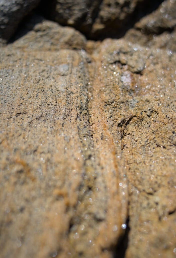
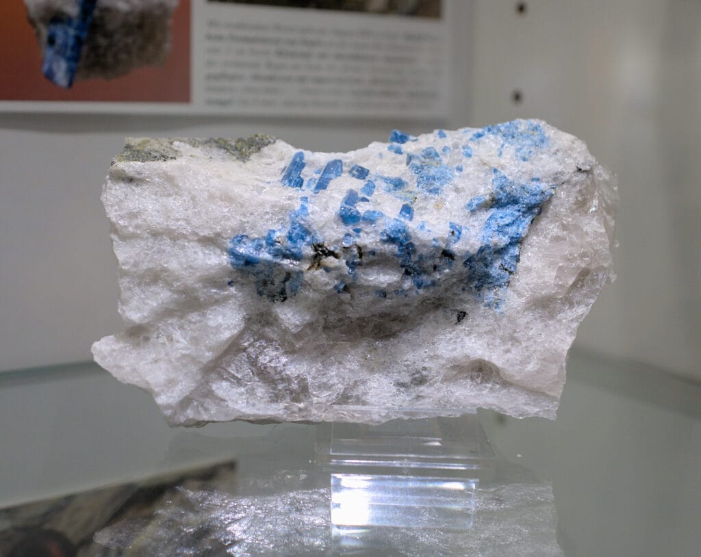
Admission to the museum costs CHF 5, which helps support the foundation. The exhibition is open mainly during the summer season, or by appointment the rest of the year.
More info on his website.
For those interested in learning more, a short 1.2 km educational trail leads from Fäld to the Lengenbach mines. In front of the Lengenbach mine is a stone deposit where children can have fun searching for golden pyrite. The mineral museum and Imfeld restaurant in Fäld offer the possibility of renting hammers and chisels for breaking stones. Hire costs CHF 2, but otherwise the search for stones is free (a petty cash box is available for donations).
Hike in Binn : Loop hike to the Schaplersee
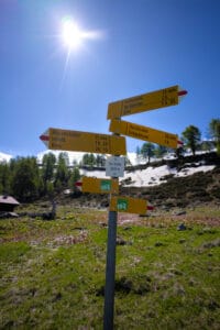
On our second day in the Binn region, we were keen to hike a little higher up. We had several ideas before coming, but looking at the scenery around us, we quickly realized that we’d have to rethink our plans…
This year, the snow had fallen as late as May, and the hiking trails above 2300m were still covered in snow in mid-June. We’ll tell you more about our other hiking ideas below, but for today we decided to play it safe and set off on a loop in the direction of Schaplersee.
In fact, our idea was to do this loop (which climbs to max 2250m) to get a better idea of what we could do the next day in terms of altitude.
Leaving the campsite, we first headed upstream until we reached Fäld (the place with the mineral museum). From there, we had two choices: continue on a yellow path that follows a wide track, or take a (red) trail for a more direct ascent. We’ll let you guess which option we chose 😉
I’m not going to lie… early in the morning, the climb through the forest gets your heart right going up straight away. The path climbs straight up through the trees and in just 1.5km, we’ve already done almost 500m of + elevation. #LegsAreBurning
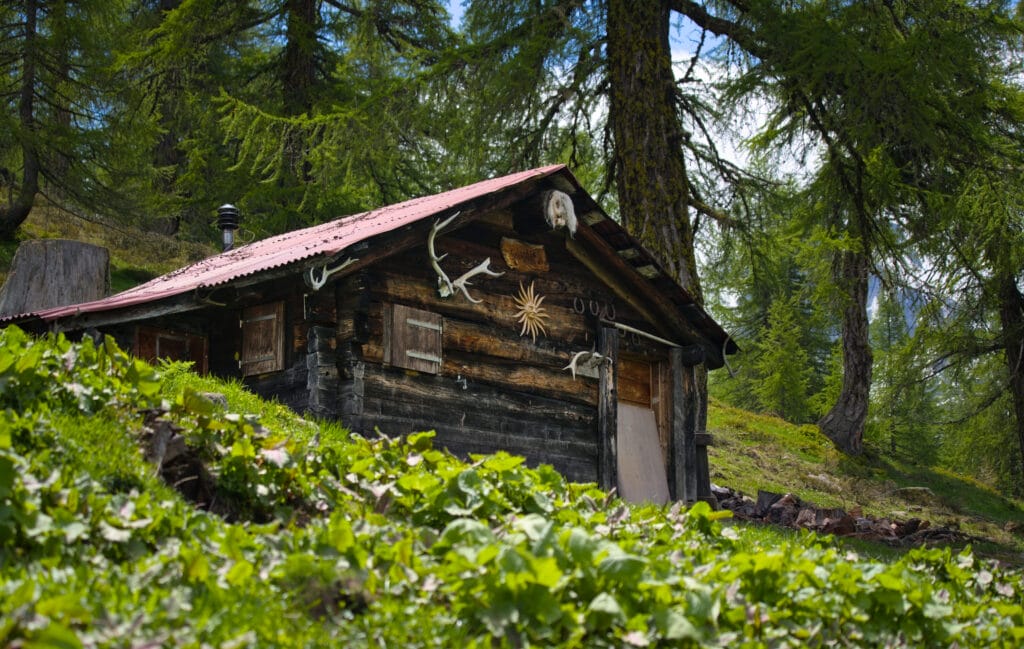
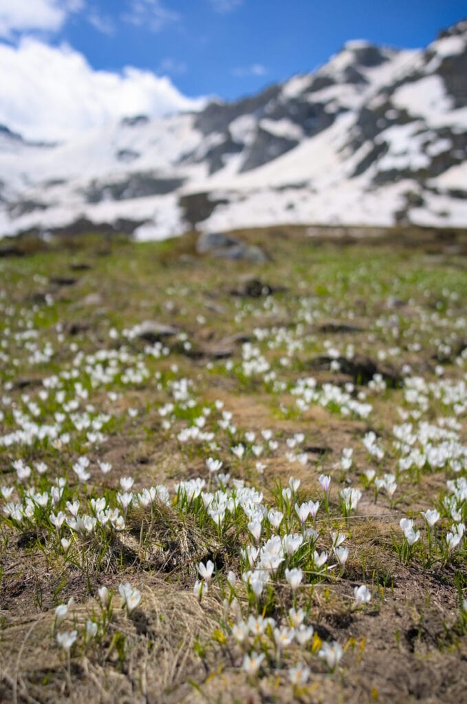
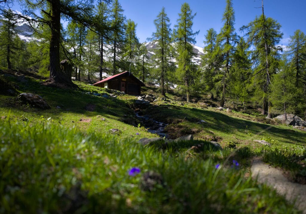
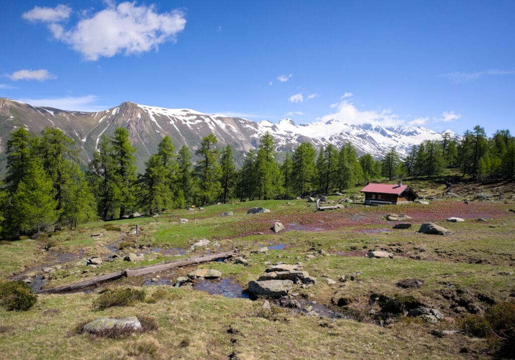
You emerge from the forest at around 2000m altitude, and from here the slope becomes gentler until you reach the Hockbode (which literally translates as “ground to sit on”).
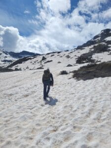
For our outing, this spot also marked the beginning of Fabienne and Benoit’s adventures in the snow 😉 On the way up, it was relatively easy to tiptoe to ensure good stability, but I can’t hide the fact that as I climbed the last bit of steep slope, I was seriously wondering how I was going to get down from there.
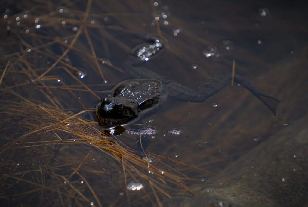
After a last bit of effort, our map tells us that we’ve arrived at Schaplersee. It’s a good thing we had the map, because we didn’t see much of the lake haha. Still covered in snow, it would have been relatively easy to miss. Although on closer inspection, we did see a few frogs wading between 2 pieces of ice 😉
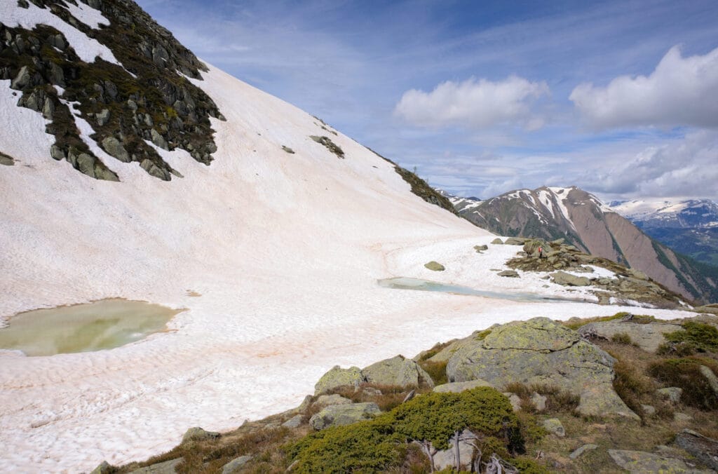
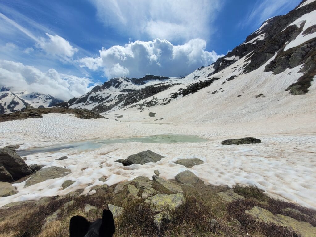
Anyway, the view was great and we were able to take advantage of a large dry rock to settle in and have a picnic with a view.
After enjoying the scenery, it was time to head back to Binn. For the descent into the snow, I tried to approach the problem with grace and elegance by attempting to “ski” on my feet, but I quickly realized that my legendary lack of coordination was likely to make the operation perilous. In short, I gave up on the idea of finishing the ride dry and simply sat down on the ground and let myself slide on my buttocks to the Hockbode (which has never been so aptly named).
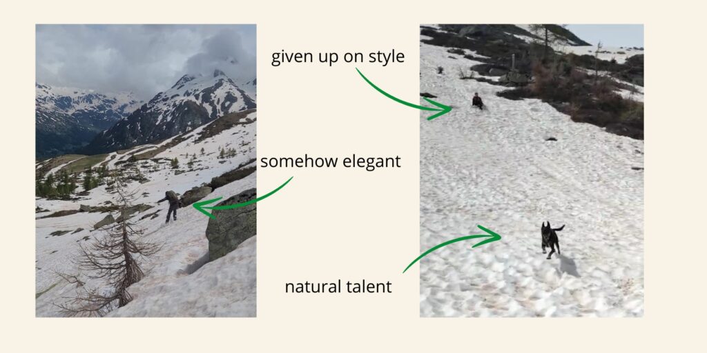
From Hockbode onwards, we were back on “dry land” and the descent to Binn was a mere formality. Although quite steep in places, the trail is really very pleasant and poses no particular difficulties.
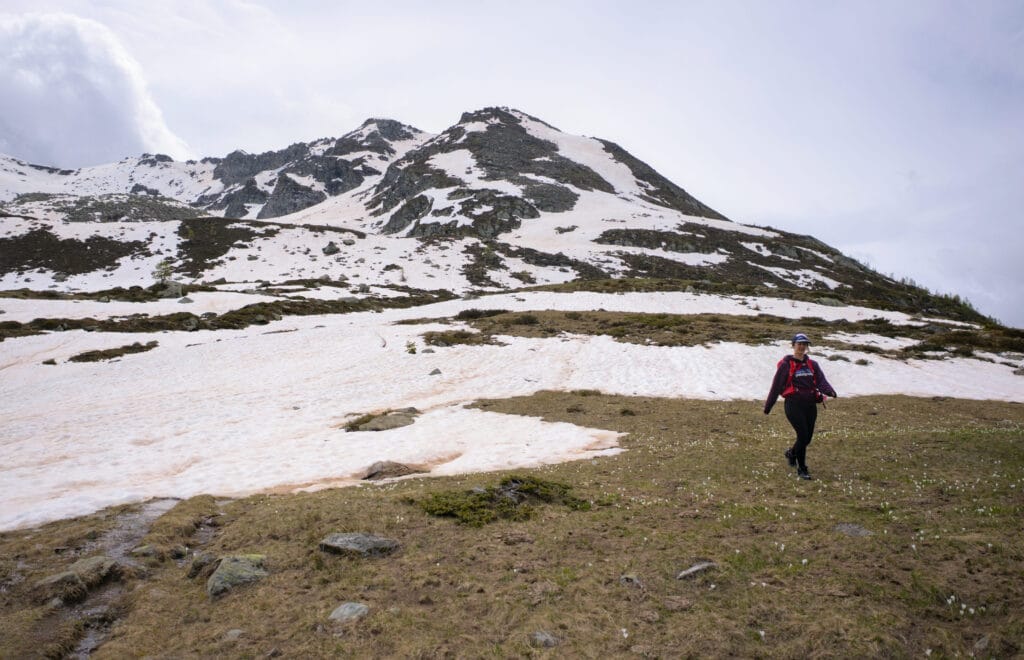
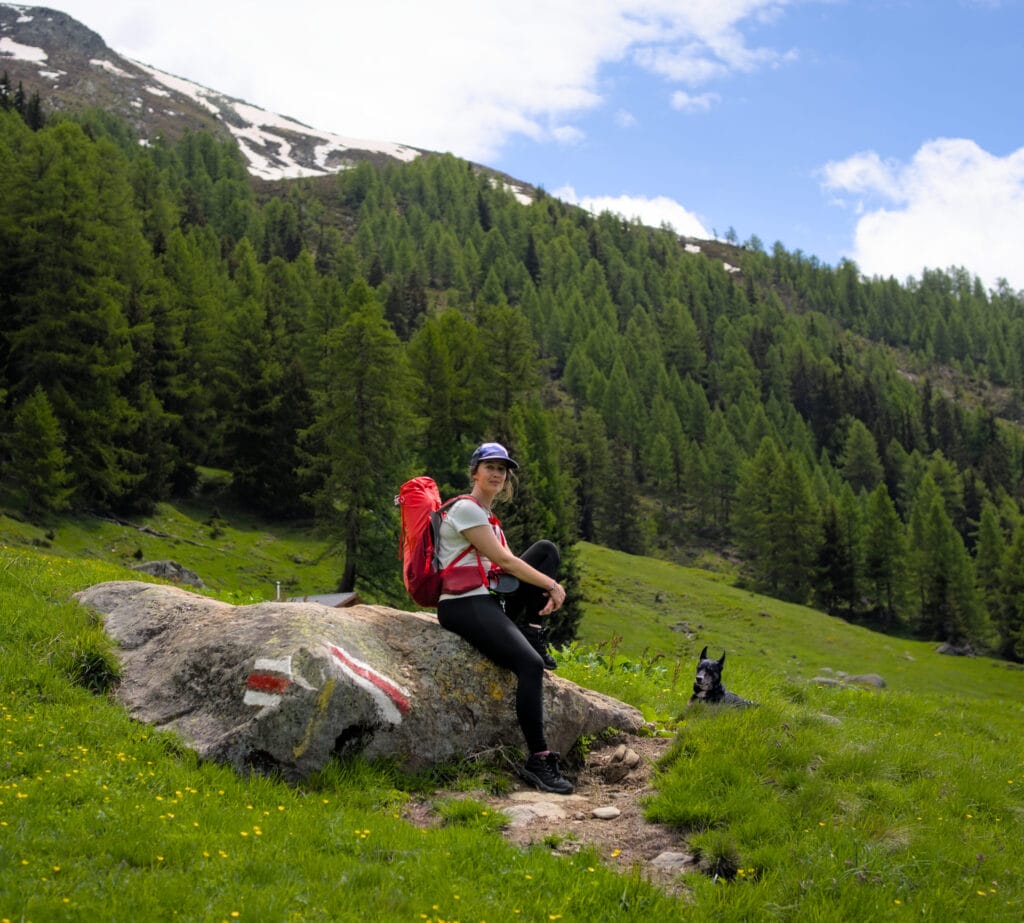
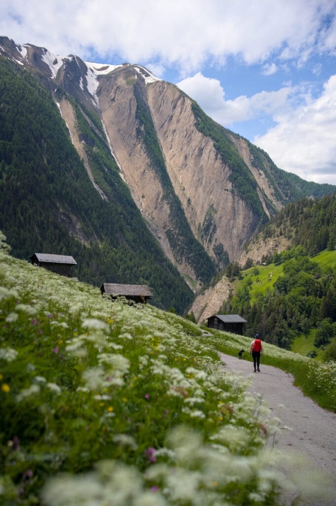
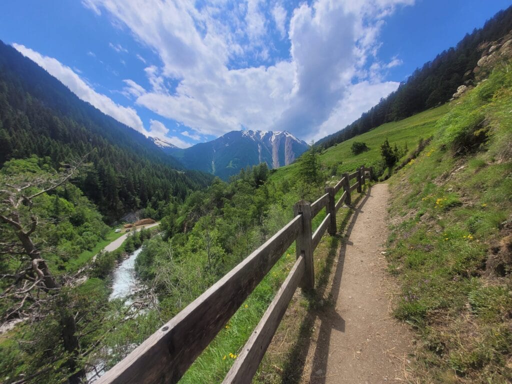
Once in Binn, we made a quick stop at the Volg (local mini-market) to buy some lunch and then followed the pretty path overlooking the Binna River back to the campsite.
Hike info to get to Schaplersee:
- Start and Finish : Camping Giessen
- Distance : about 11 km
- Elevation : about 880m
- Walking time: allow around 3h30-4h walking time. It took us around 5h30 to complete the loop, including a picnic break at the lake and a shopping stop in Binn.
- Dificulty : Average
Hiking map:
Eggerhorn hike or trail from Binn
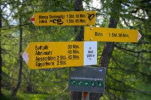
For our 3rd day, we were hesitant about the program… The routes we had in mind were too high, but Benoit was clearly still keen to stretch his legs.
When he mentioned the idea of a “quick” ascent of the Eggerhorn in the morning, I quickly realized that this program wasn’t for me 😉 Benoit isn’t an extreme trail runner, but let’s just say he’s got a hell of a cardio base that I personally don’t have at all.
His plan? To solo the 1000m climb from the campsite to the Eggerhorn and back, and be back for coffee by 10am. sounds like a fun morning program right?! Anyway, I kindly declined and my plan was to take the dog for a walk by the river while waiting for the sportsman to return.
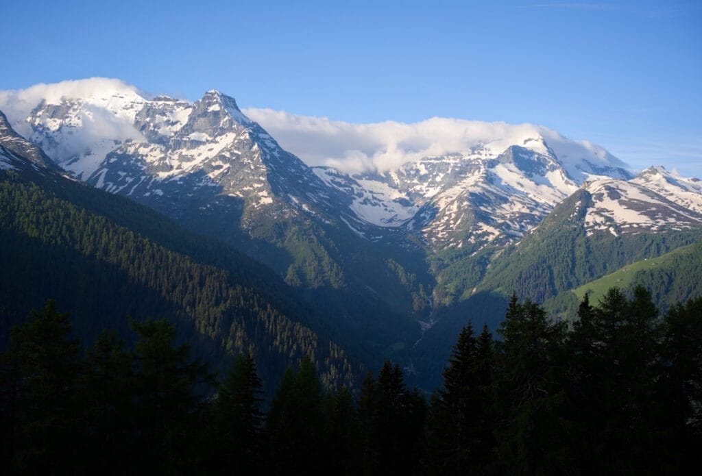
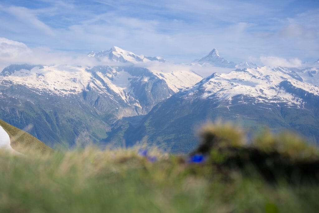
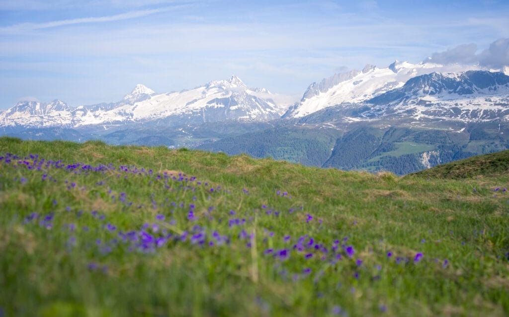
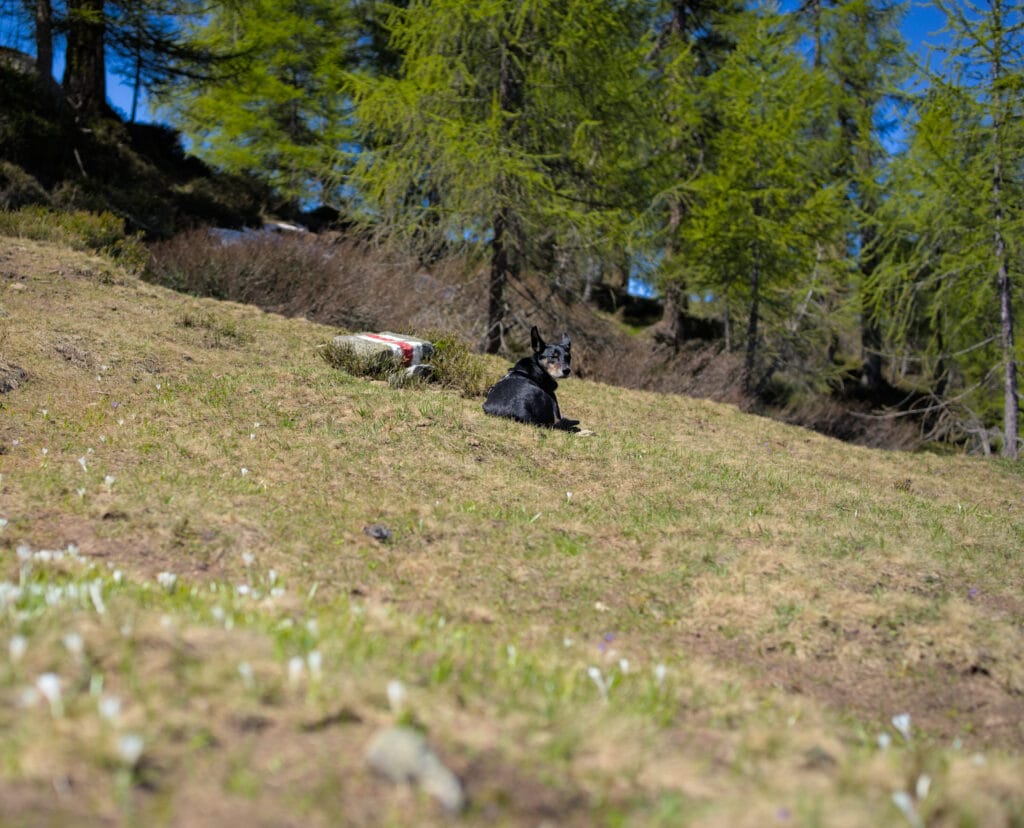
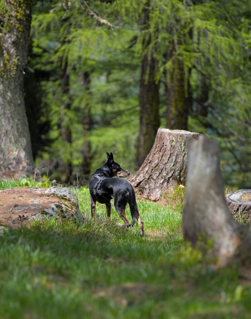
Dog who, incidentally, didn’t understand the program. When Benoit got up at 6:30, he started wagging his tail and wanted to get out of the van with him. so… Benoit got him on board for his trail run!
It must have been 9:30am when I finished my coffee and the two athletes came back to the campsite. Benoit with a big smile and Winchy with his tongue out and a look that seemed to say “you could have warned me!”.
The dog lay flat on his back in the van and hardly moved for 2 hours, while Benoit showed me photos of their morning “run”, which took them 2.5 hours, and not a single minute more.
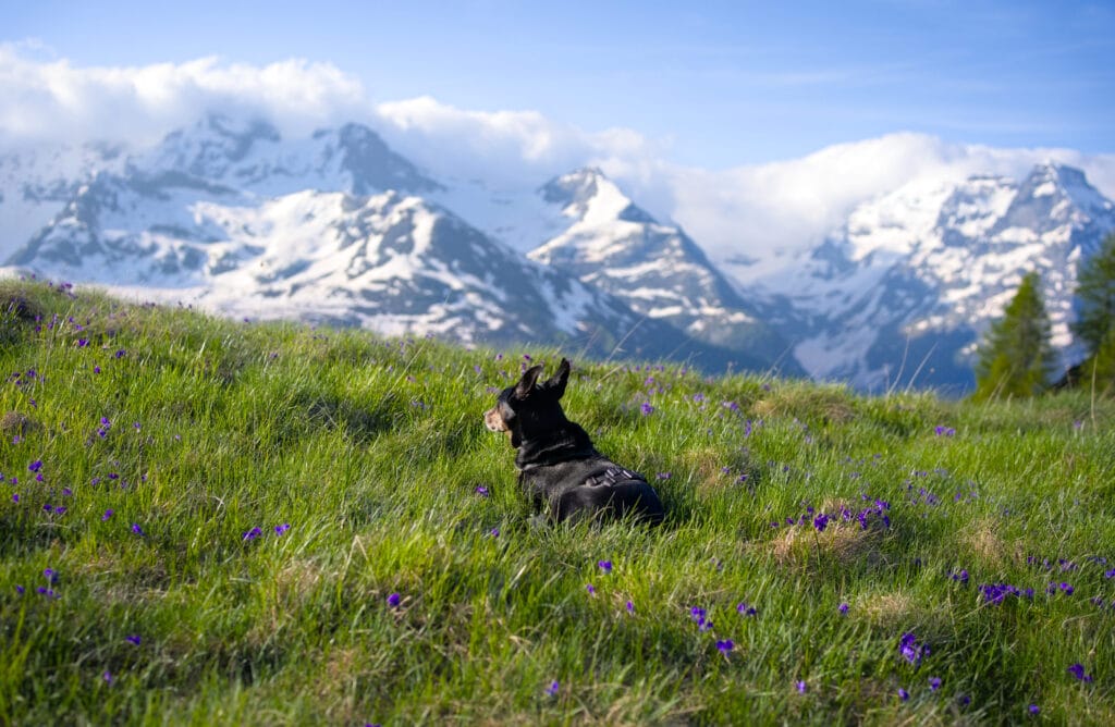
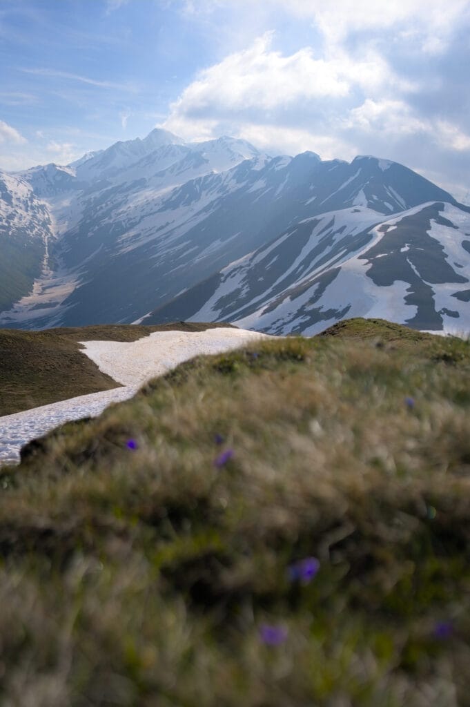
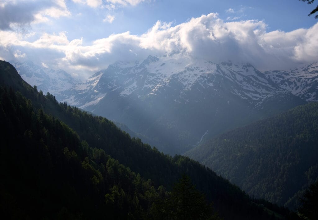
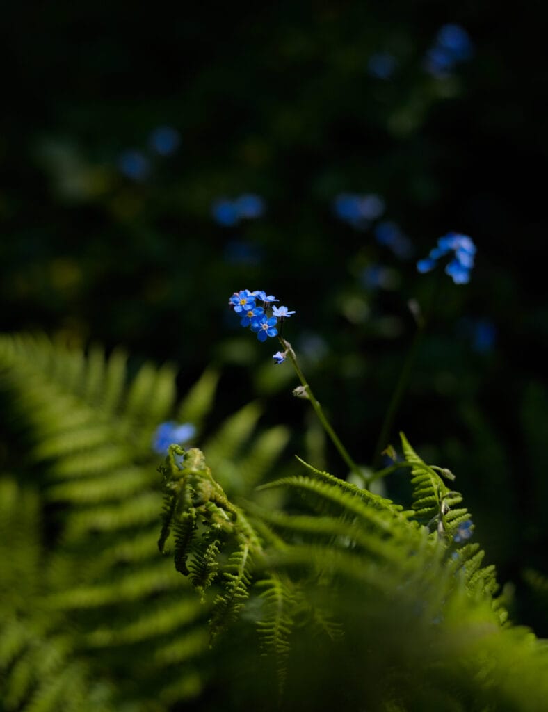
If, unlike Benoit, you’re not in the mood for running, it’s perfectly possible to do it on foot. The round trip takes about 5-6 hours 😉
Eggerhorn hike info:
- Distance : 14.3 km
- Elevation change : 1086m (+ et -)
- Start and Finish : Camping Giessen
- Hiking time : If you hike (and not run) allow about 5h30
Hiking map:
Camping Giessen – a beautiful, peaceful campsite in a perfect location
For this trip, we decided to park Dahu (our van) at the campsite so that we could explore the area with peace of mind (wild camping is strictly forbidden in the valley). When we started looking at the options, we quickly realized that we wouldn’t have to worry too long: there’s only one campsite in the valley 😉
Well, I think it’s safe to say that the little Giessen campsite has officially entered our list of favorite campsites in Switzerland to date! Superbly located between Binn and Fäld, the campsite allows you to do everything on foot. The big plus? The pitches are scattered among the trees by the river, giving us a sort of private clearing (we’re light years ahead of those big campsites where everyone’s parked in a row). We fall asleep lulled by the sound of the river and, above all, enjoy the sun practically all day long.
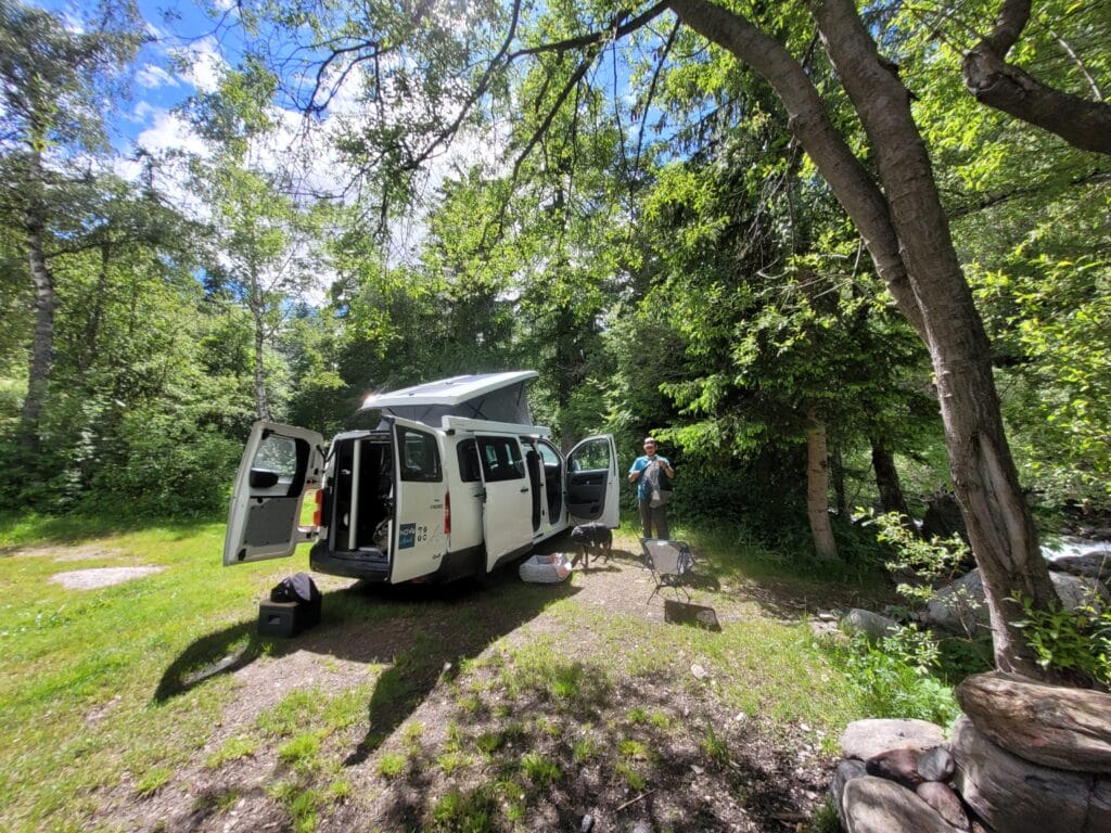
The sanitary facilities are spotless and the welcome warm. Perhaps the only downside is that you can’t buy anything at the campsite except in the mornings between 7:30 and 8 a.m., when the baker comes to sell his bread on site. Not a problem in itself, but as we didn’t know we hadn’t arrived specially prepared (and of course it was Sunday and all the other shops were closed) 😉
The second pleasant surprise was the price. For Switzerland, we found it very reasonable. For 2 people with a van and a dog, we paid 52.3 CHF for 2 nights (including the purchase of a taxed garbage bag from the commune). When you think that in Lauterbrunnen they charge the same price per night…
If you’d like to stay here, please note that the campsite doesn’t take bookings for stays of less than a week. So it’s best to arrive not too late in the high season, so as to have some choice of pitch. The campsite is open from May 1 to October 15.
If you prefer a hotel or B&B rather than a campsite, we suggest you take a look at Booking.
More hiking ideas in and around Binntal
Having come here in mid-June, we had hoped to be able to hike “a bit more”, but the reality of a particularly cool 2024, with heavy snowfalls at the end of the season, got the better of our plans. We chose to hike the Schaplersee on the first day to see how far we could climb without too much snow… Well… the conclusion was that the Schalpersee was a bit “the max” with the equipment we had 😉 But if you’re coming a little later in the season, or simply in a year with less snow, here are a few suggestions for extra itineraries in the region.
Lake hike in the Binntal
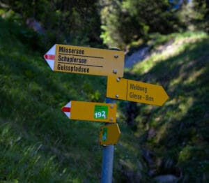
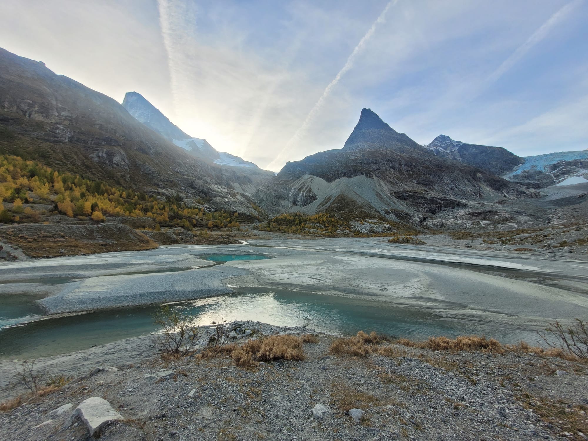
Benoit and I have always had a soft spot for mountain lakes, so it was only natural that we started looking at maps in search of lakes. Schaplersee was our “plan B”, but the initial plan was to do a loop to see several lakes. Unfortunately, there was still too much snow on the trails to head off in the direction of Geisspfadsee, Mässersee and Züesee. But we thought we’d give you the map with the route we thought we’d follow. The route looks great!
Hiking map :
Climb to Binntal hütte and Col de l’Albrun
Another route we’d spotted was the ascent to the Col de l’Albrun. This is the old Roman road, and from what we’ve read online, the valley is well worth the detour! This route to the hut is relatively easy, and if you plan to do it in 2 days (sleeping at the hut) it’s also totally suitable for families. As for us, we had intended to make the round trip during the day, but the snow was still too deep to allow us to follow this route safely (we were strictly not equipped for it).
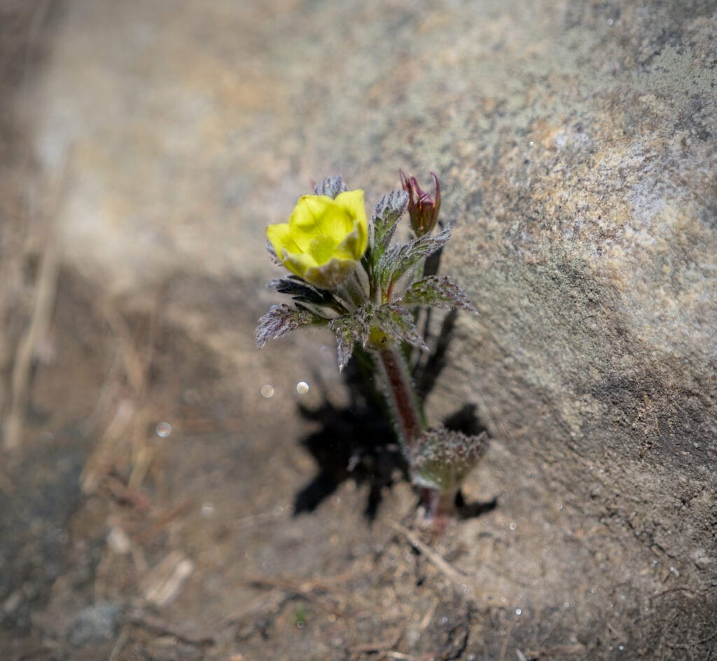
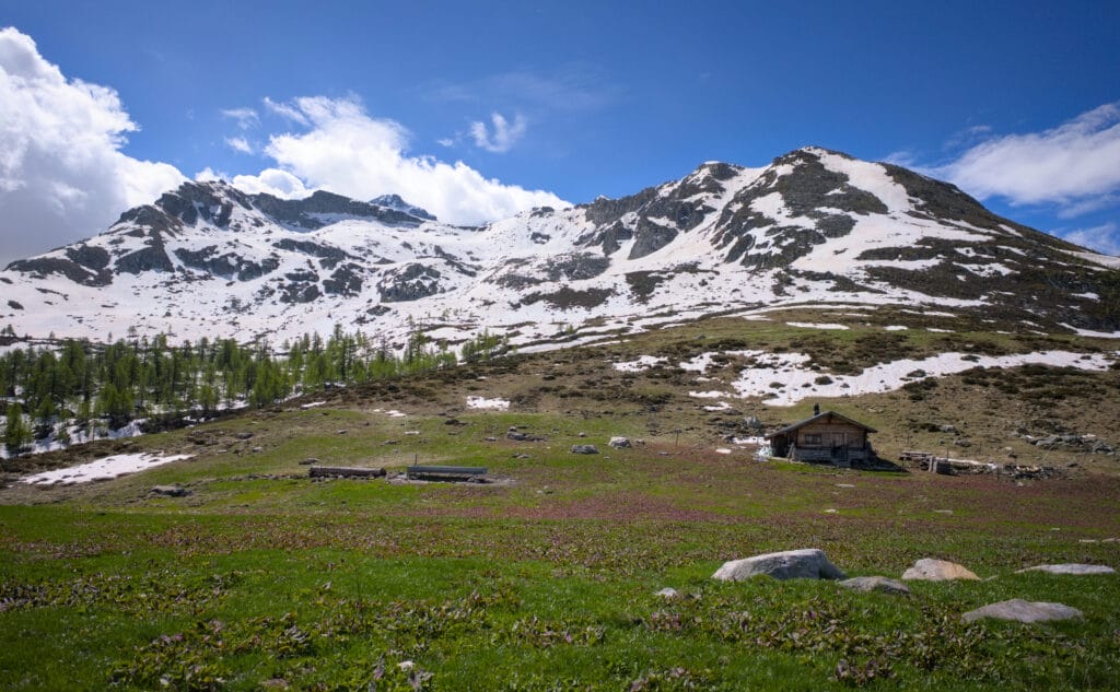
For the curious, here’s the track we planned to follow:
Note : It is also possible to combine these two itineraries over 2 days. Set off from Fäld towards the Albrun pass, then cross the border to the Lago di Devero and return via the Passo della Rossa to the Geisspfadsee, then follow the lakes route back to Binn or Fäld. Beware, this itinerary is quite demanding and is almost 27km long, with a climb of almost 1900m! We briefly considered it, but the snow made it impossible at this time of year. If we had undertaken this route, we would probably have done it over 2 days (either bivouacking or sleeping one night at the Bintalhütte).
Hiking on the Aletsch Glacier
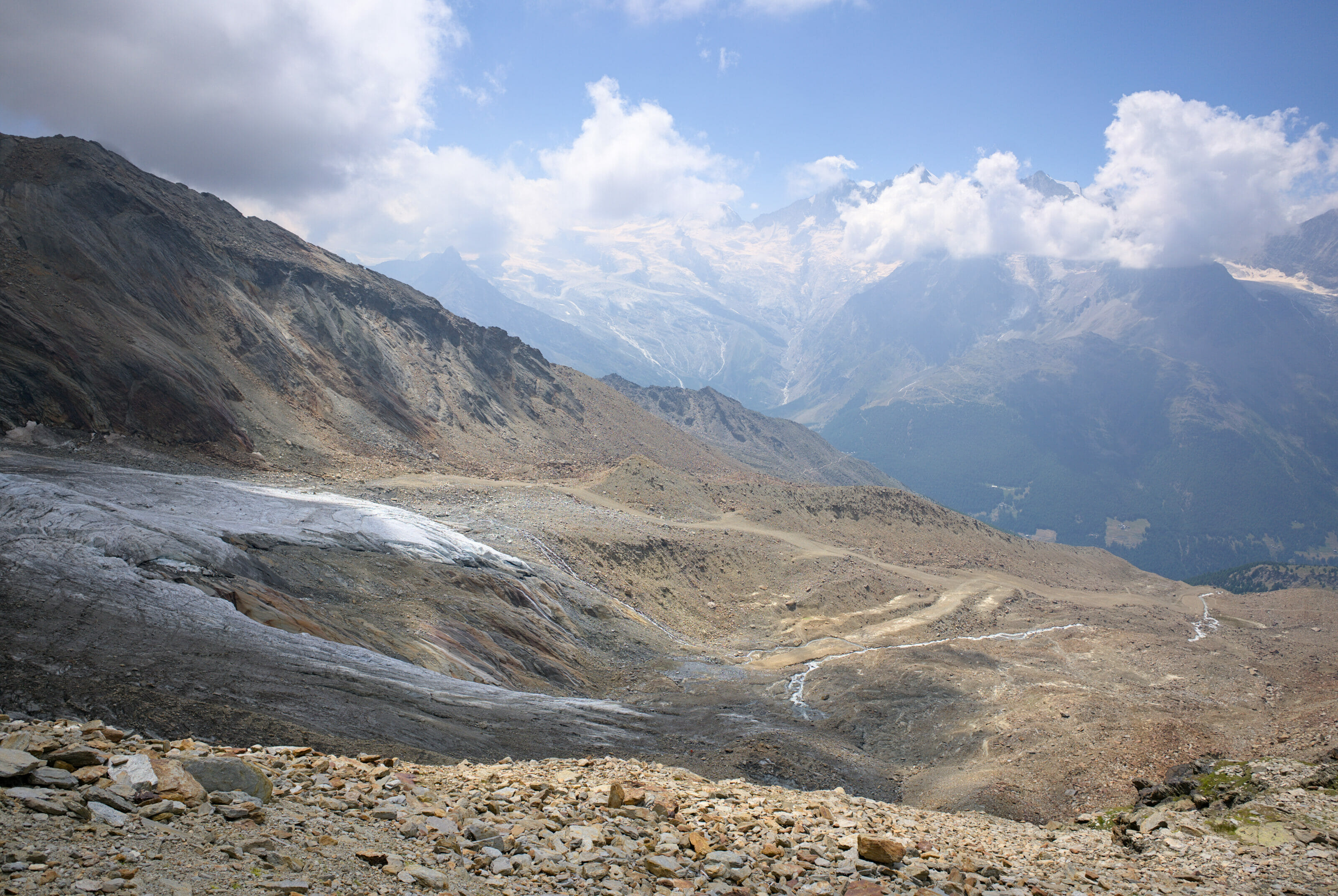
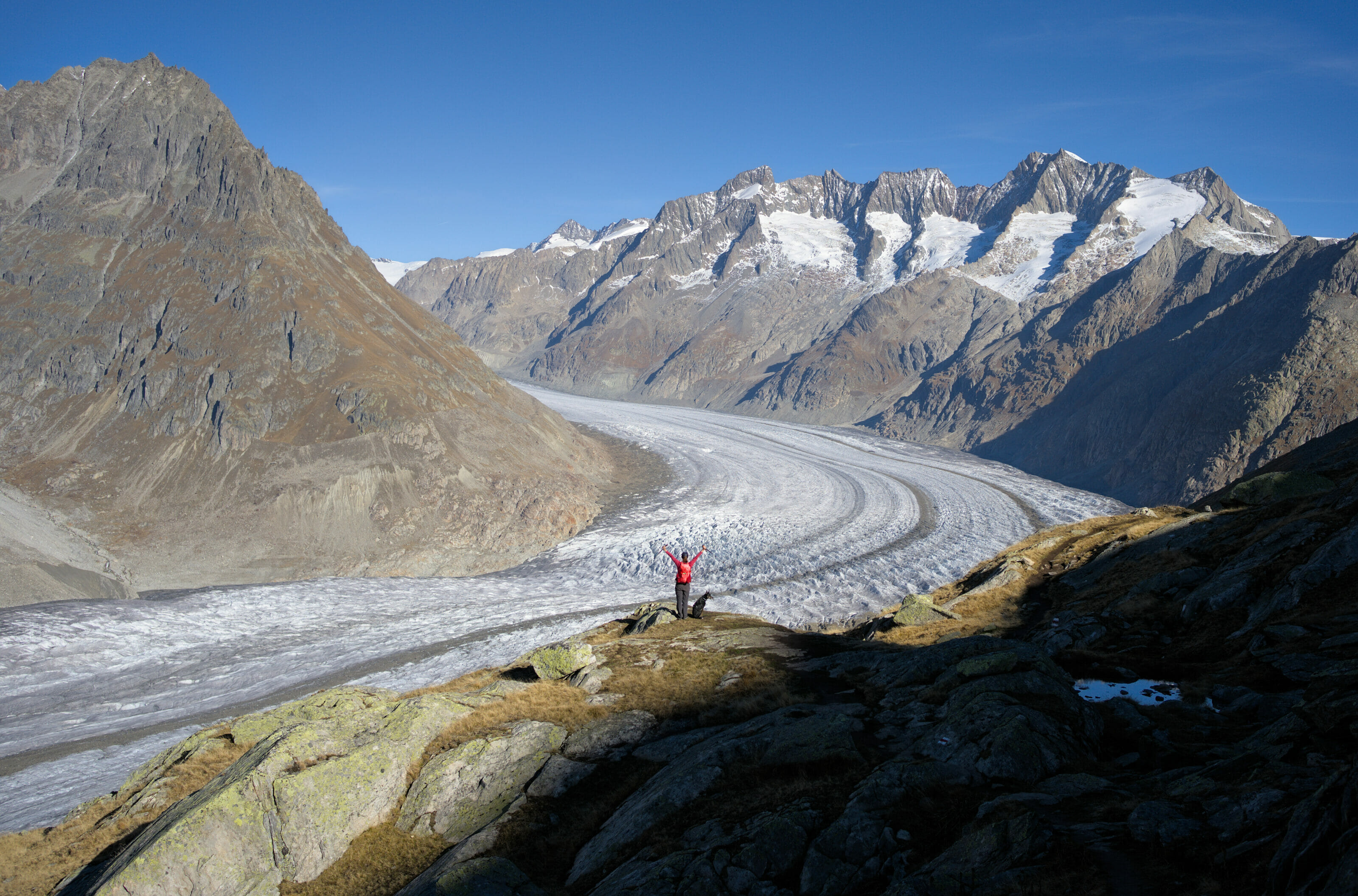
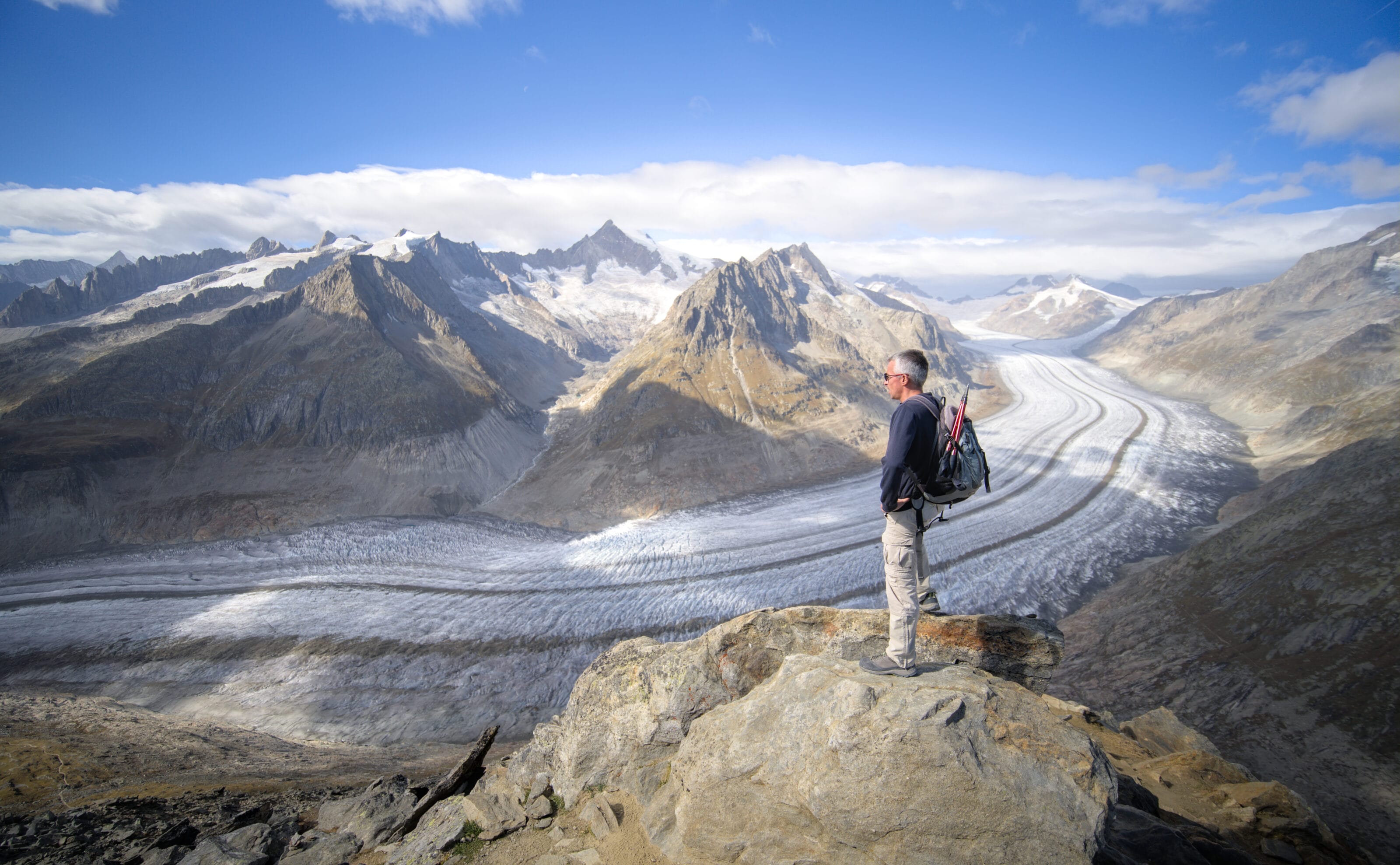
To round off this article, we couldn’t possibly not mention the Aletsch glacier panoramic hike! Located just across the road, we enjoyed the view of Fiescheralp and bits of the glacier throughout our stay 😉 For our part, we’d already done this hike on another occasion, but if it’s your first time in the region then we really recommend coupling a visit to the Binntal with a day in the Aletsch Arena.
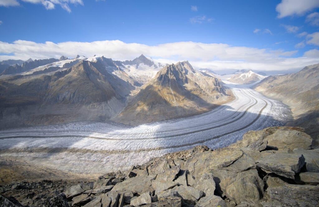
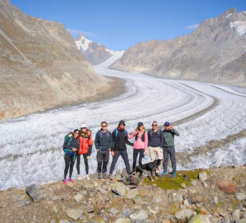
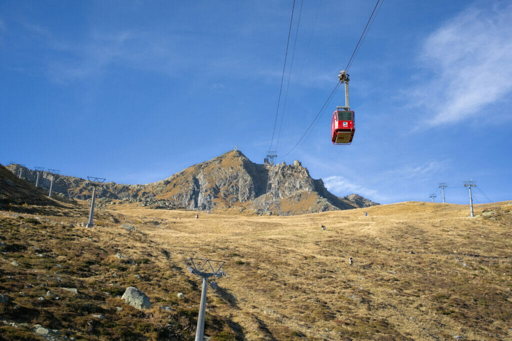
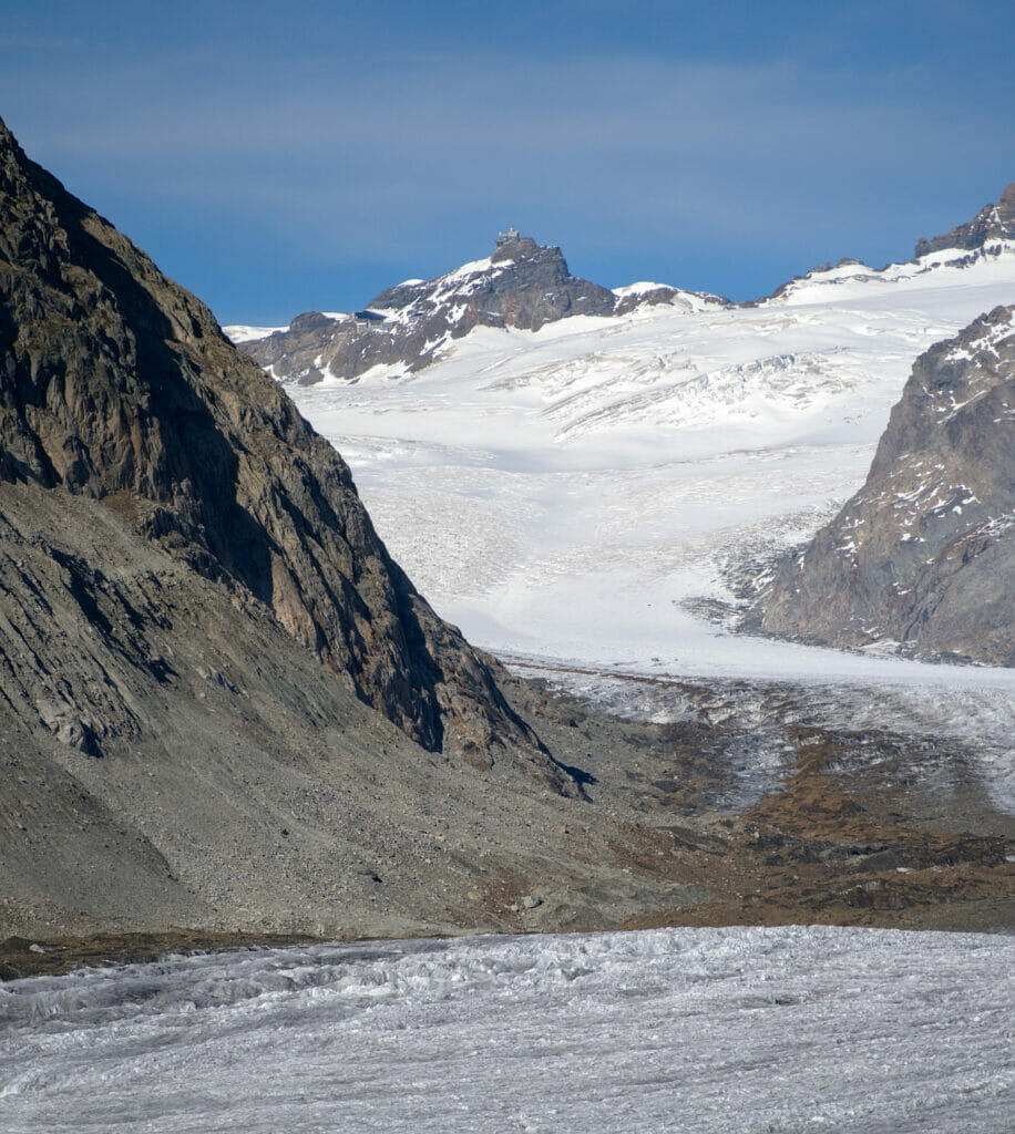
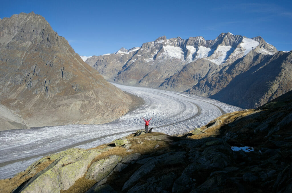
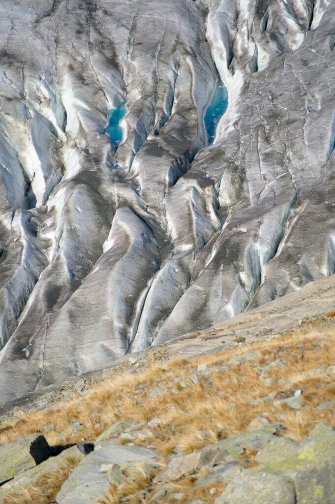
For full details of this hike, see our dedicated article written last year (and now updated).
Well, that’s it for this little escapade in the Binn Valley. We hope you enjoyed this article and that it gives you plenty of ideas for exploring this pretty corner of the Valais.
See you soon for new hiking articles (the season has just begun) 😉
Save on Pinterest


Join the discussion