It has been almost a month since we returned from Tenerife and the least we can say is that part of our heart has still remained there! These 4 months in the Canary Islands were one of the best decisions of the past year. Tenerife has totally seduced us and it is already with a touch of nostalgia that we will continue to tell you a little more about our little piece of paradise off the coast of Morocco in the coming weeks (after that it will already be time for a new adventure…;))
We have already told you a lot about hiking in Tenerife in our previous blog posts, but if you read us from time to time you will have probably guessed that we haven’t told you everything yet! 🙂 In this article we will take a look back on all the hikes we have done and tell you about our absolute favorite ones.
Are you ready? So put on your hiking shoes and get ready to discover a wild and natural version of Tenerife!
- A panoramic hike in front of Masca
- Above Masca trail
- The Punta de Teno
- Ruta del agua trail in La Caldera
- Teide national park hikes
- Coastal hike to the mirador of San Pedro
- The almost secret beach close to Puerto de la Cruz
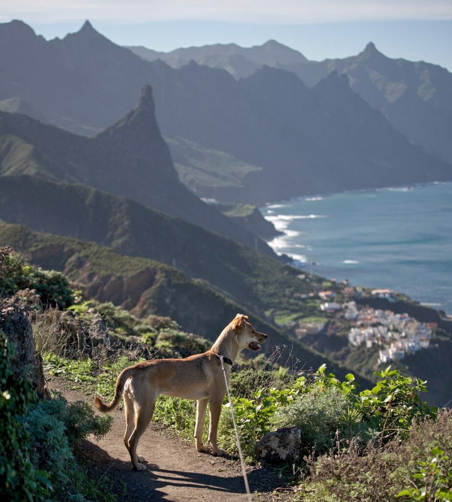
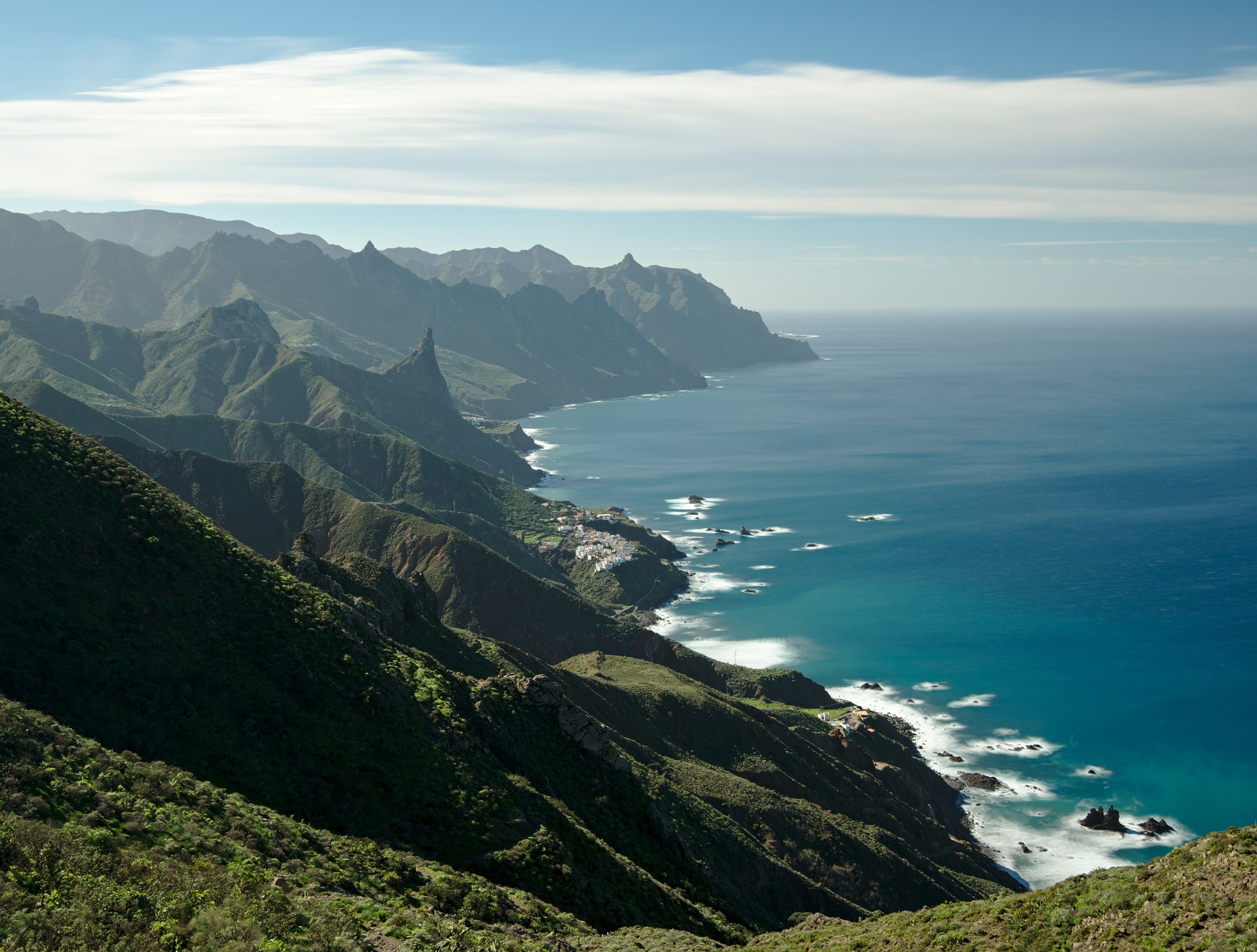
- Hikes in the Anaga natural park
- Why we did not go on the southern side of Tenerife
Map Info: On the blog, you’ll find all the maps in interactive format via the AllTrails app (the one we use daily). If you want to download the trail of a hike to have it with you (on maps.me, your connected watch, another hiking app) –> you will find a download link above each map.
To download, simply go to AllTrails and if you don’t have an account yet, create one (it’s free). You will then have access to more than 30 formats to download our tracks and import them into the application of your choice.
If you want to access the maps offline from AllTrails, then you will need to upgrade to an AllTrails+ account (which we also have). By going through this link, you get a 30% discount (1.75€/month for one year instead of 2.5€/month).
To see all our Teneirfe hikes at a glance –> Click here
A panoramic hike in front of Masca
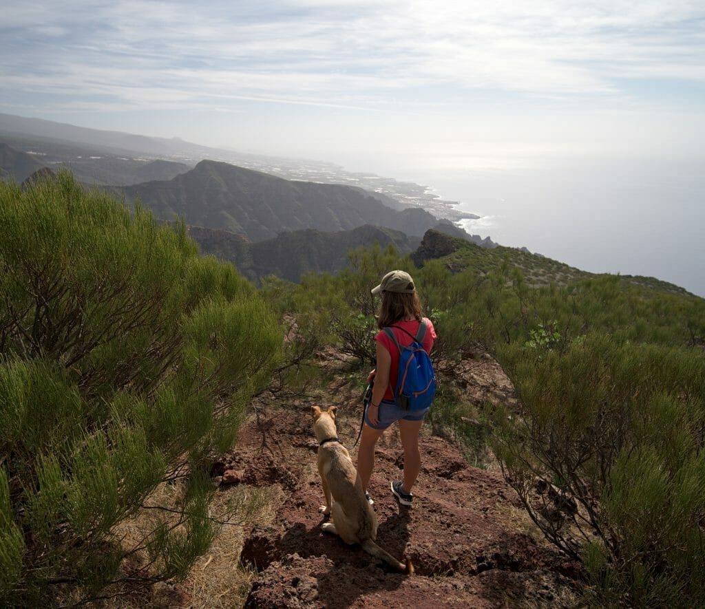
Masca is a pure little gem on Tenerife that should not be missed under any circumstances! This small village of 90 souls is totally isolated in an absolutely enchanting valley. From a hiking perspective the area is especially famous for the hike which leaves Masca and goes down to the beach.
Unfortunately, due to a landslide, this trail was closed in 2018. It is currently undergoing restoration. The reopening was supposed to take place in February (2019), but at the time of writing these lines the path is still inaccessible (April 2019)… Note: this hike is considered quite difficult… 3 hours of descent to reach the beach and just as much to go back.
In short, you will have guessed it, during our 4 months in Tenerife this trail remained closed, so it is impossible for us to tell you if it is really that hard. But let us reassure ourselves, we did not let ourselves be dismantled and we looked for an alternative! 🙂
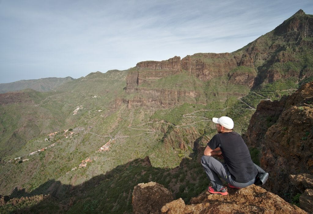
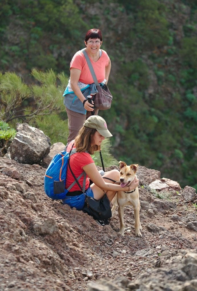
And I have to say that our alternative was not bad at all! We did this hike with Benoit’s parents who had visited us for a short week. In total the round trip is about 5km. The path is not very difficult but on the other hand it always goes up and down a little bit. By doing it at a very slow pace, with lots of photo breaks on the way, it took us something like 3 hours to complete the round trip (with a picnic at the viewpoint). 😉
Important Update 2019:
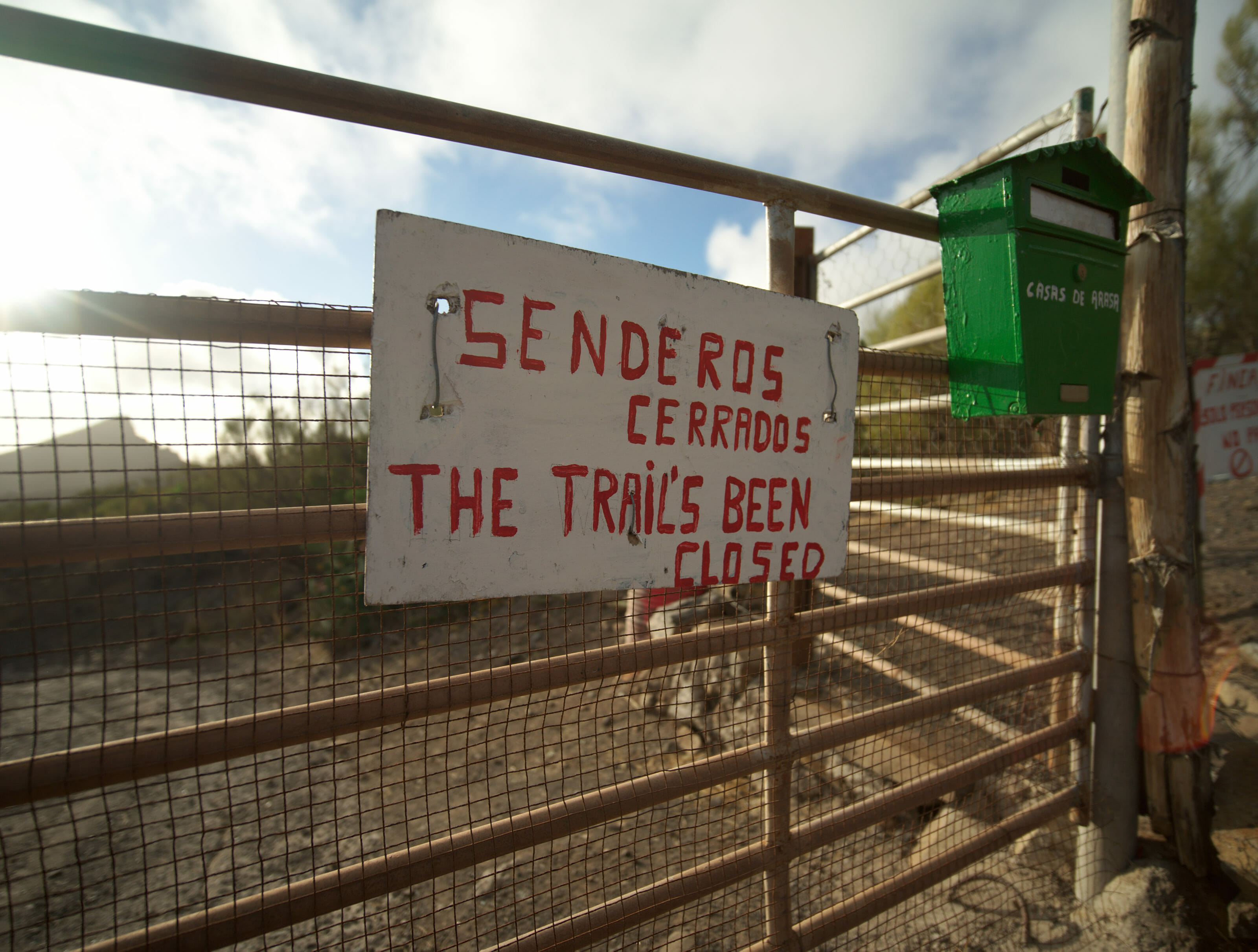
We’ve had some feedbacks that this second trail is (unfortunately) closed as well. It passes a private property and the owner has set up a fence to prevent hikers using it. We hope this is only temporary and/or that the Barranco trail will be open soon again (currently it also remains closed).
Note: The viewpoint is not clearly marked on the maps… but to find it is very simple: you follow the path and as long as it climbs it is that you have not arrived! 😉 The viewpoint is really at the highest point, and at the very end you arrive in a kind of meadow and the path almost disappears. At this point, just aim for the top!
The return journey is the same as the outward journey. For this hike I advise you to use the free Maps.me application. The path is well marked and having the map will allow you to situate yourself in relation to the viewpoint if you sometimes lose sight of it….
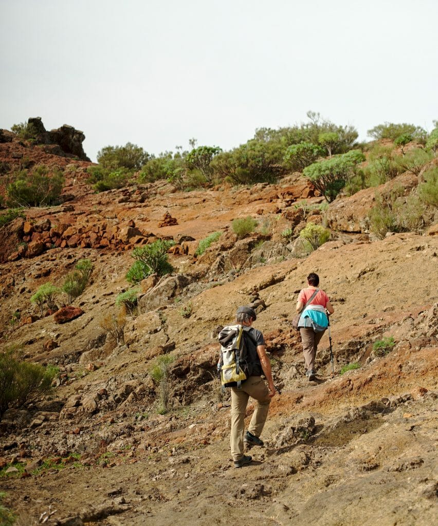
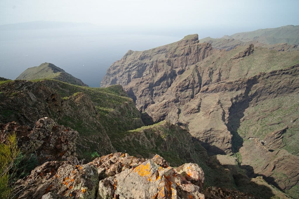
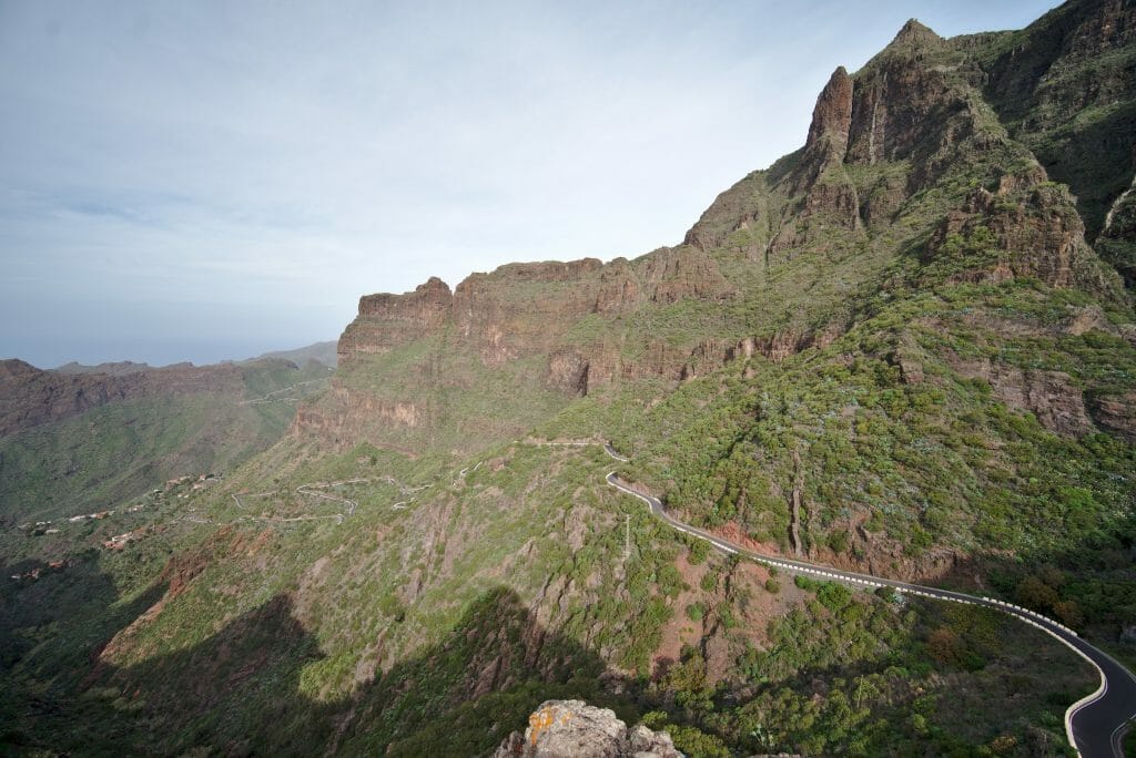
Note bis: if you want to extend, you can of course continue from theviewpoint in the direction of the fincas which are below or even straight down to the beach viewpoint. But as the path goes down again, it will have to go back up afterwards, because it is a “dead end” path.
Camper Van

We didn’t do it in Tenerife, but since we bought our van the Dahu, we really want to come back to Tenerife and discover the area by van. The island lends itself really well if you want our opinion. 🙂 If you want to rent one directly on the island (probably the easiest solution), then you can go to the website Yescapa. They offer camper vans rented directly by van owners (with all required insurances). You can also check the car rental company Campstar where you’ll be able to find van and RVs to rent in Tenerife
See the camper vans on Yescapa
See the campers on Campstar
Trail above Masca
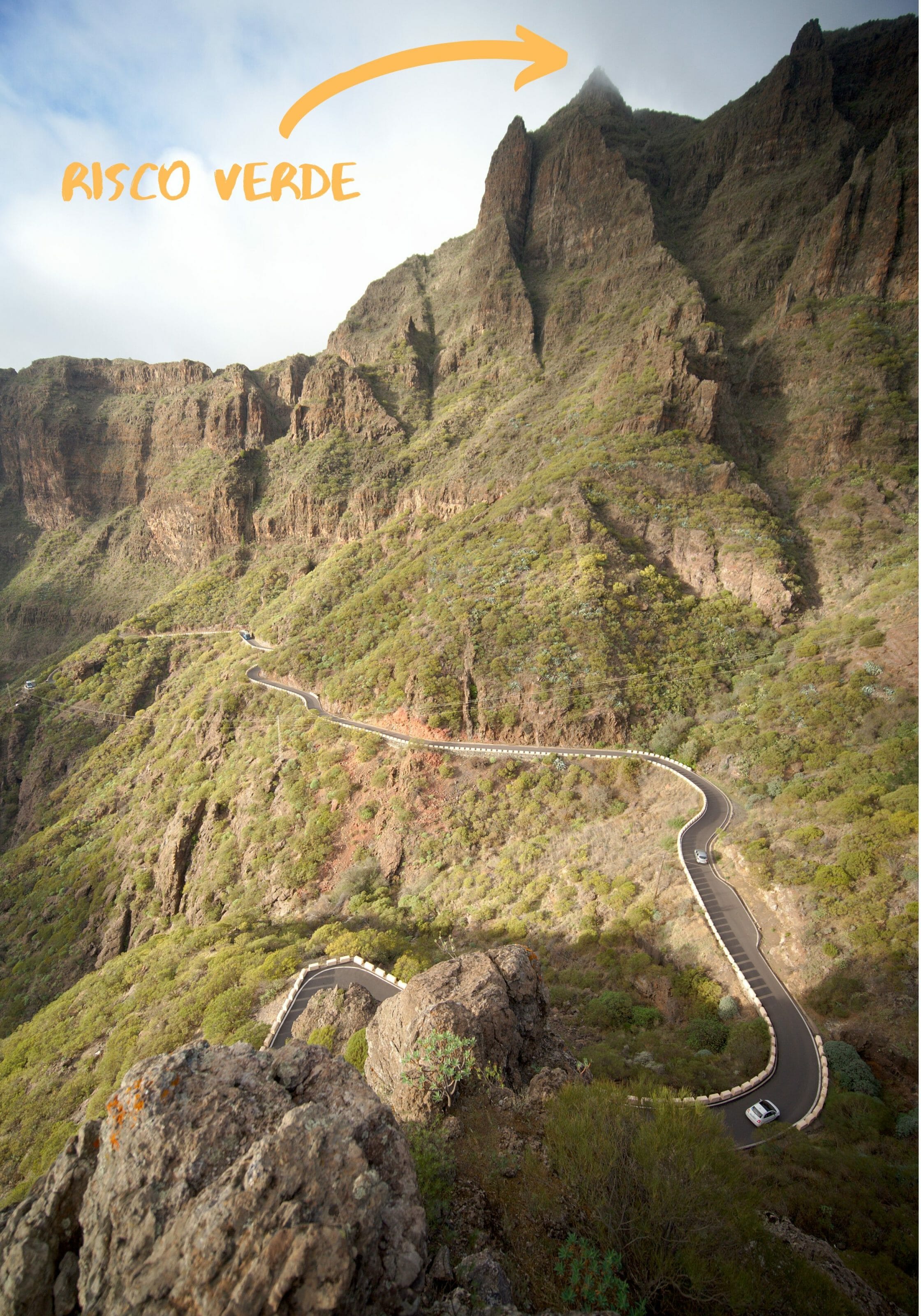
To find an interesting alternative to all these closed trails around Masca, Benoît returned to the area in December 2019. He found you a hike that passes over the cliffs above Masca with magnificent views over the whole valley and the village. This hike passes notably by the Risco Verde which is the summit that overlooks the whole Masca valley and its impressive road.
The trail of this hike starts just before the village of Santiago del Teide, on the main road (we had parked our car in the village). We attack directly by a good 300m of d+ climb to get started. Behind us we have a beautiful view on the Teide but unfortunately in front of us we can see that the summit is a little cloudy.
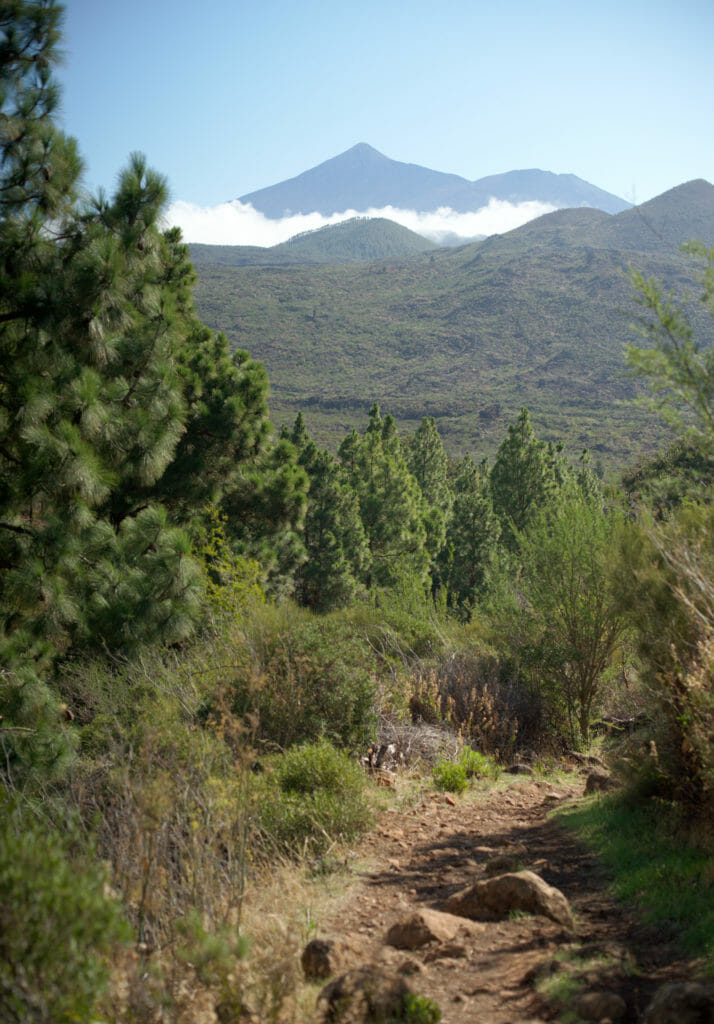
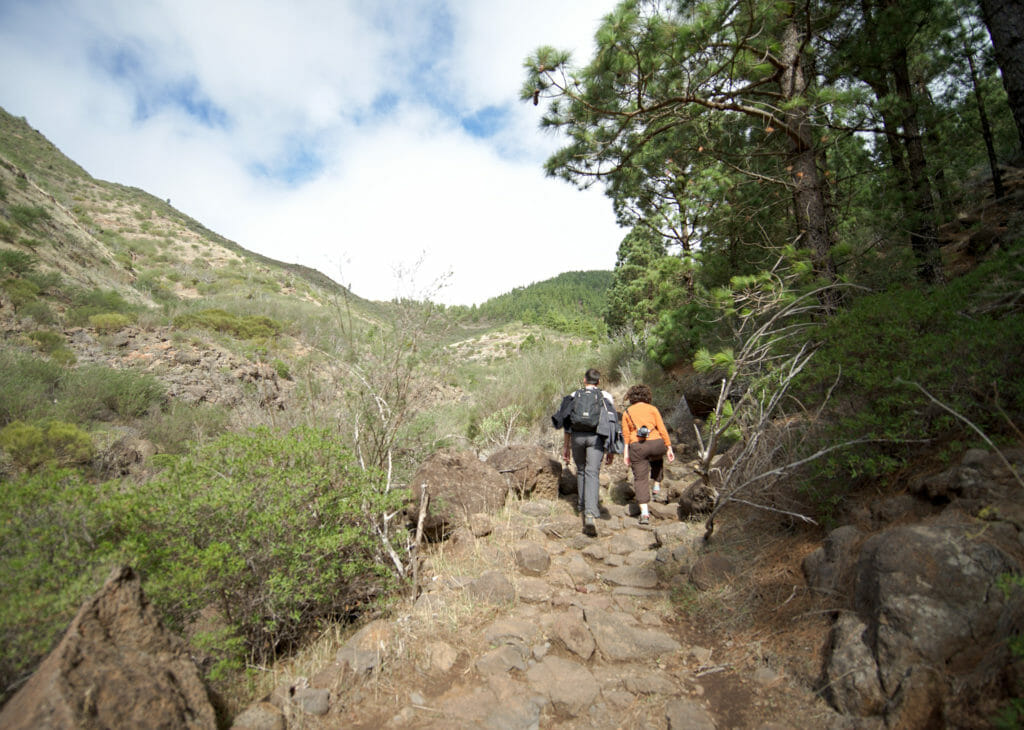
As we feared, when we arrive at the pass, the summit of Risco Verde is in the clouds and I unfortunately don’t have a picture of this magnificent viewpoint to show you… you’ll have to climb it yourself 😉 (but I have no doubt that the view from the summit is incredible). Anyway, so we continue our hike by going down along the ridge overlooking the village of Masca. This part of the hike is really superb because we have a clear view all along. And after 4kms we arrive at the road that we take on the right on a few hundred meters.
useful info
It is also possible to take the path that goes down to the village of Masca (a little before the road on the left… the green path on the map) and then take bus 355 from Masca back to Santiago del Teide. Be careful, there are not many buses every day so look at the timetables here and don’t miss the bus 😉
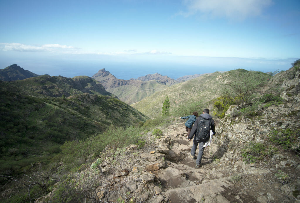
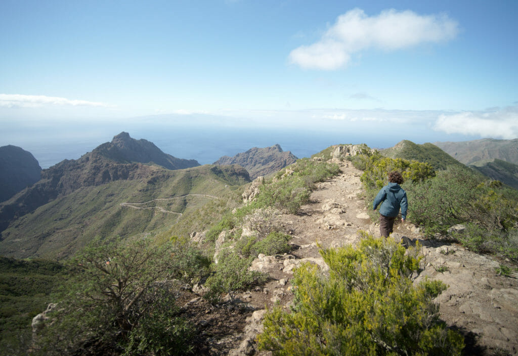
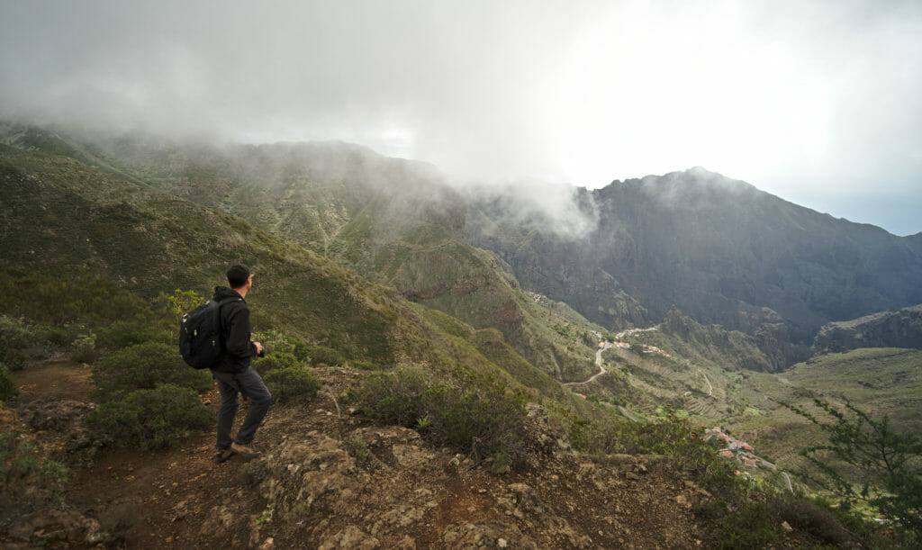
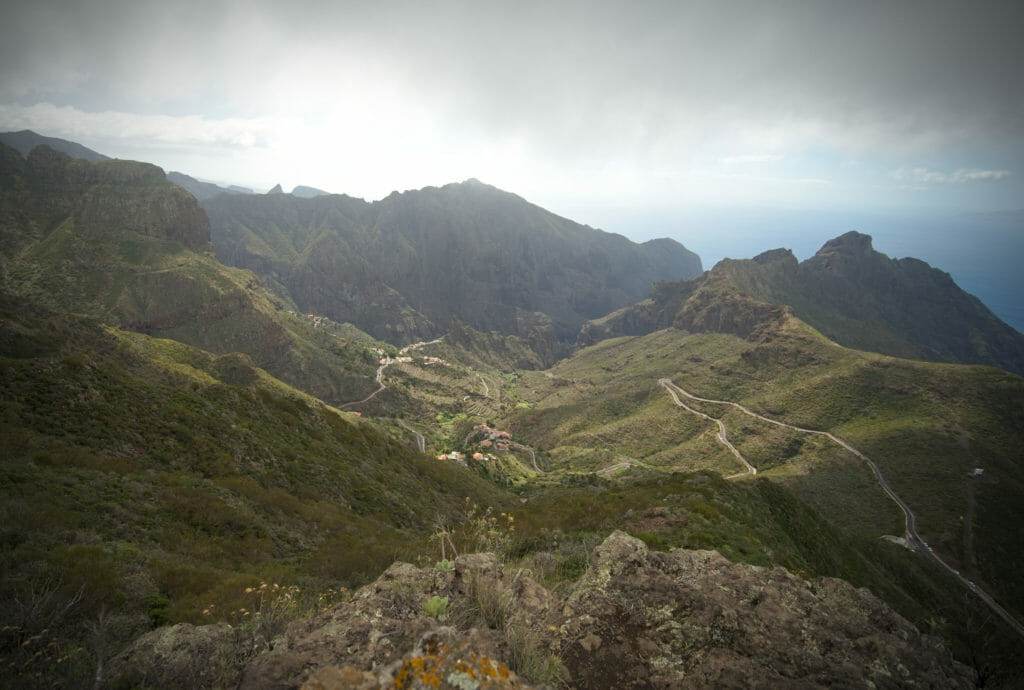
I would have also shown you some pictures of the ascent from the village of Portela Alta but from that moment on we got caught in the rain that never left us until the end of the hike. But the path that goes up is very nice too. At the end of the ascent there are several alternatives, one of which is to climb to the top of the Cruz de Gala… but well, with the rain we have simply chosen the fastest option 😉
Here is the map of the hike with distance and elevation:
And as the weather finally cleared at the end of the afternoon after the hike, we decided to take the car again to have a little fun on the road to Masca… and it was an excellent idea because it was just gorgeous…
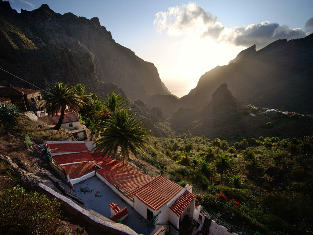
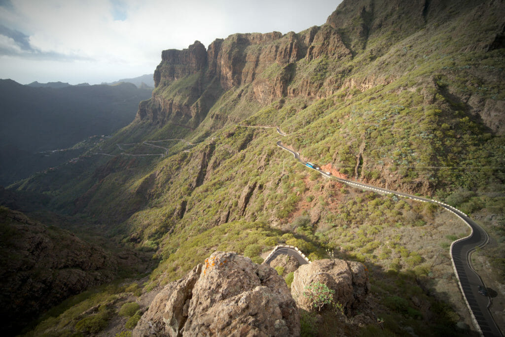
Punta de Teno
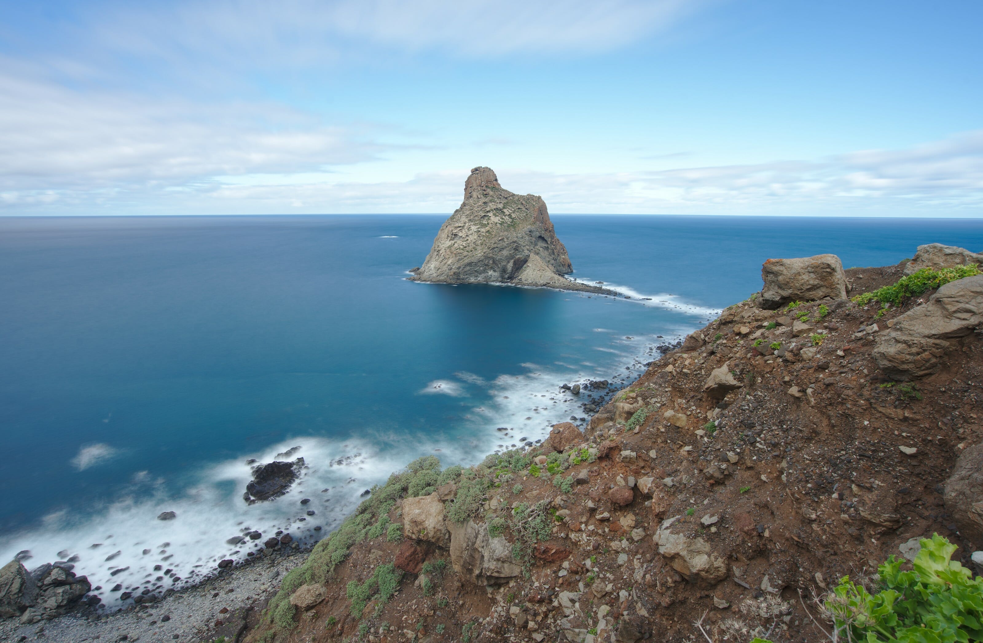
The Punta de Teno is located in the municipality of Buenavista del norte and is the western end of the island of Tenerife. It is easily recognizable by its lighthouse. This part of Tenerife is still very wild and very few buildings have been built in the landscape. You can imagine that the combination of a lighthouse, a coast and little civilization sounds like a beautiful hike…
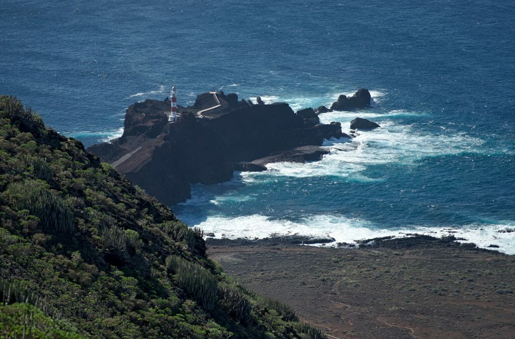
In fact the Punta de Teno is also accessible by road… (yes, yes, we admit that we would have liked it if it would have been accessible only on foot). But, you should know that the road has opening hours. These vary according to the seasons, but roughly speaking, the road is closed from Thursday to Sunday. Small shuttles run between Buenavista and the peak on closing days (€2 for a return ticket).
Afterwards, it is also absolutely possible to follow the road to the lighthouse on foot, but let’s face it, it’s not really very exciting to follow a paved road for several kilometres…
In short, not wanting to have to do some clever calculations to get to the tip of Teno but also because we wanted to walk a little, we decided to do a little alternative hiking. Instead of starting from sea level, we drove up to the small hamlet of Teno Alto. You don’t have to be a Spanish ninja to understand that it means “High Teno”. Well, to be high, it’s high! The dive is 856m and the hike is pretty harsh on the legs. But look how beautiful it is:
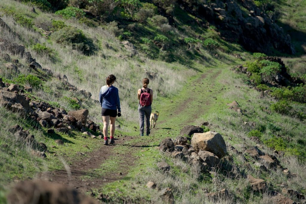
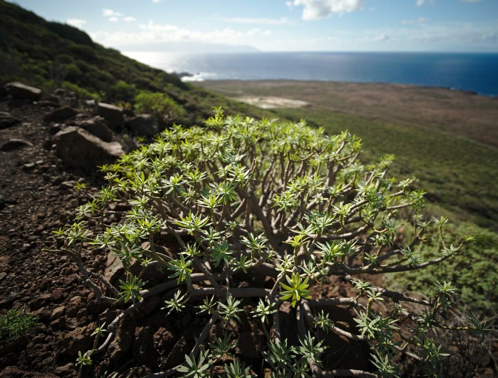
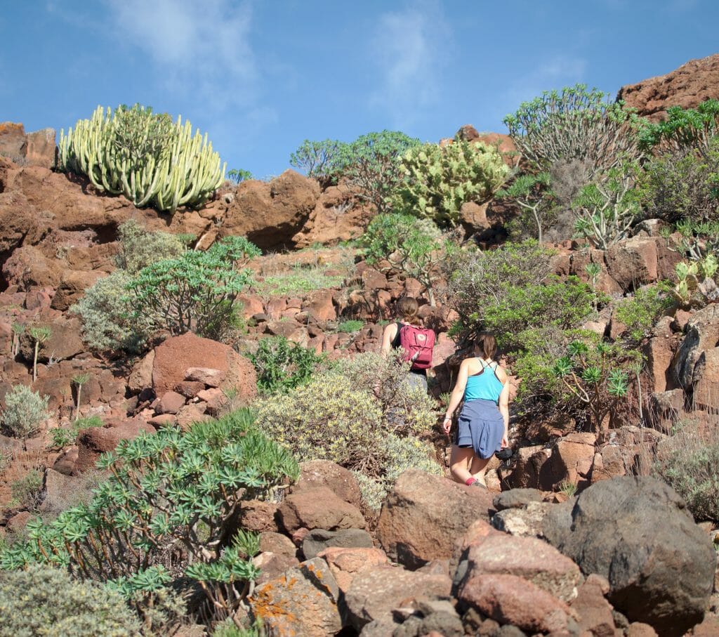
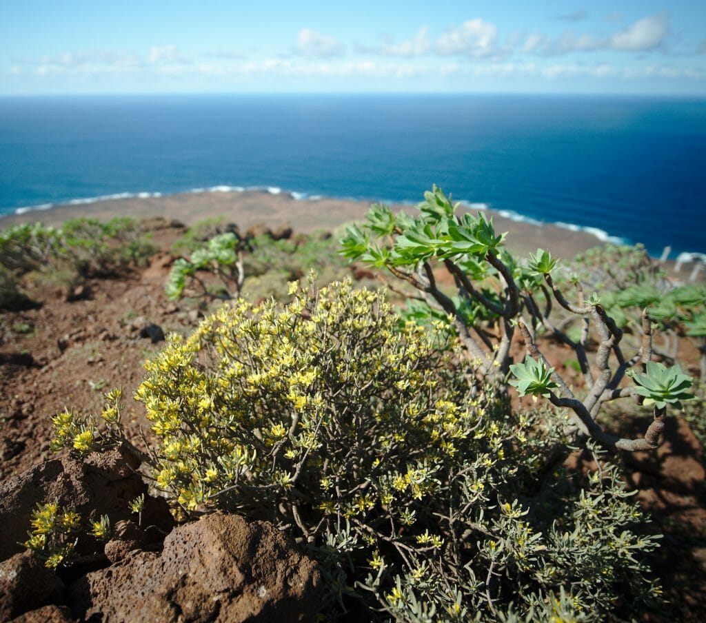
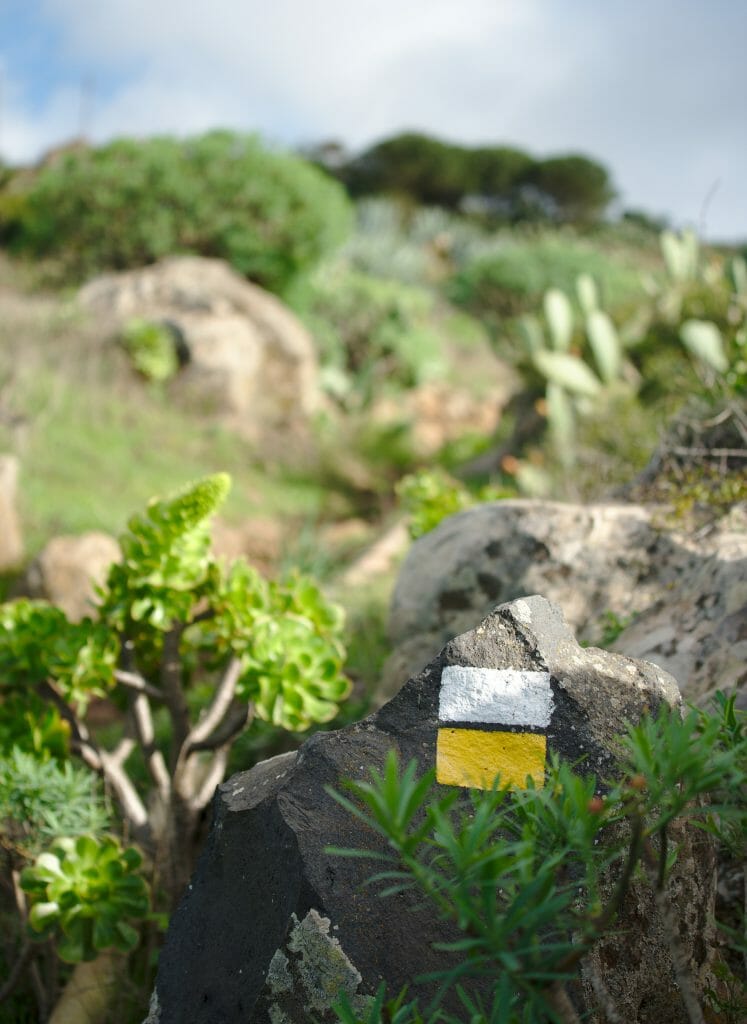
So if you are motivated, don’t hesitate for a second! But I warn you, it is quite treacherous to start a hike with the descent and then to have to go back up the same path in order to get back to the car… I don’t know… with the Alps I got used to starting with the climb and ending the day with the descent, so this hike kind of killed me! 🙂
The hike map:
Note: It is possible to leave the car a little bit after the village, just above the “Casas quemadas”.
Note 2: Pavel (a reader) also suggested an interesting variation. He left his car at the parking lot just before the barrier that forbids access by car to Punta de Teno. He went up at the beginning of our hike by the camino del Risco (in green on the map) to go down to Punta de Teno by the same way we did. He then took the 1€ shuttle bus back to the car.
Car Rental
 In Tenerife car rental is by far the easiest way to get around. During our stay we rented a car by the month for the whole of our stay (except for the Christmas-New Year week when we preferred to return our little polo because the prices were soaring). We had gone through RentalCars
On the price level, if we forget about the Christmas period when the companies are completely out of their mind asking 90€/day, the rest of the time we get by at less than 20€ a day. (The longer the duration, the cheaper… it cost us an average of 300€. 312€ in November/December and a little less in January-February).
Find a car on Rentalcars
La Ruta del Agua in la Caldera
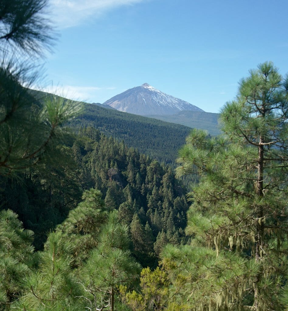
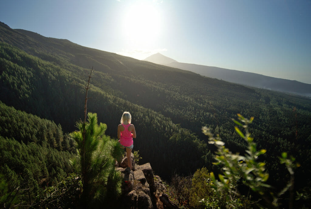
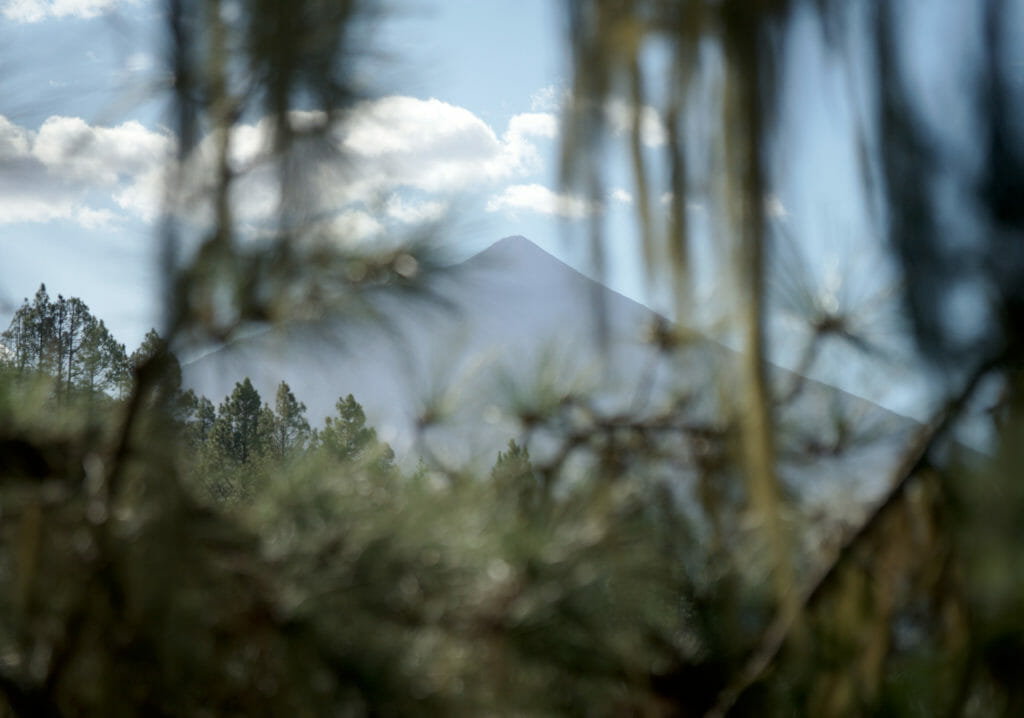
The area called “La Caldera” was one of our favourite places when we used to take the Coliving dog for a walk. There are plenty of possibilities to hike in La Caldera but our favourite was a beautiful loop of 8-9km which takes 3h-4h depending on your fitness. This route is nice because it is mostly in the forest but with beautiful views of the coast and the Teide.
The big positive point of this hike? It’s really not very touristy there! We met relatively few people and as the hike takes place between 1200m and 1500m above sea level, it is relatively cool when the thermometer gets crazy at the seaside. Oh and it is accessible by public transport (which is rare enough to be noted);)
Map of the hike:
Distance: 7.9km
Elevation change: about 440m positive and negative
Duration: about 3h
Get there: Lines 345 and 346 go up to Caldera about once an hour. If you have your own car, there are many parking spaces at the trail beginning.
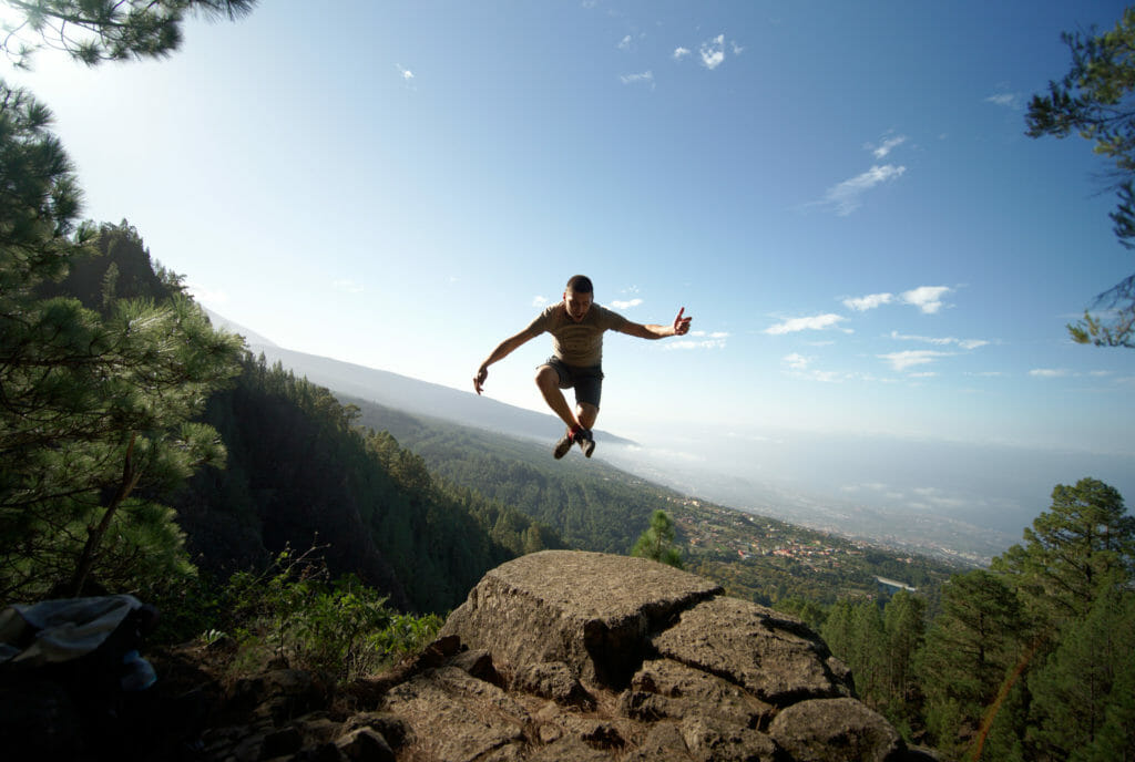
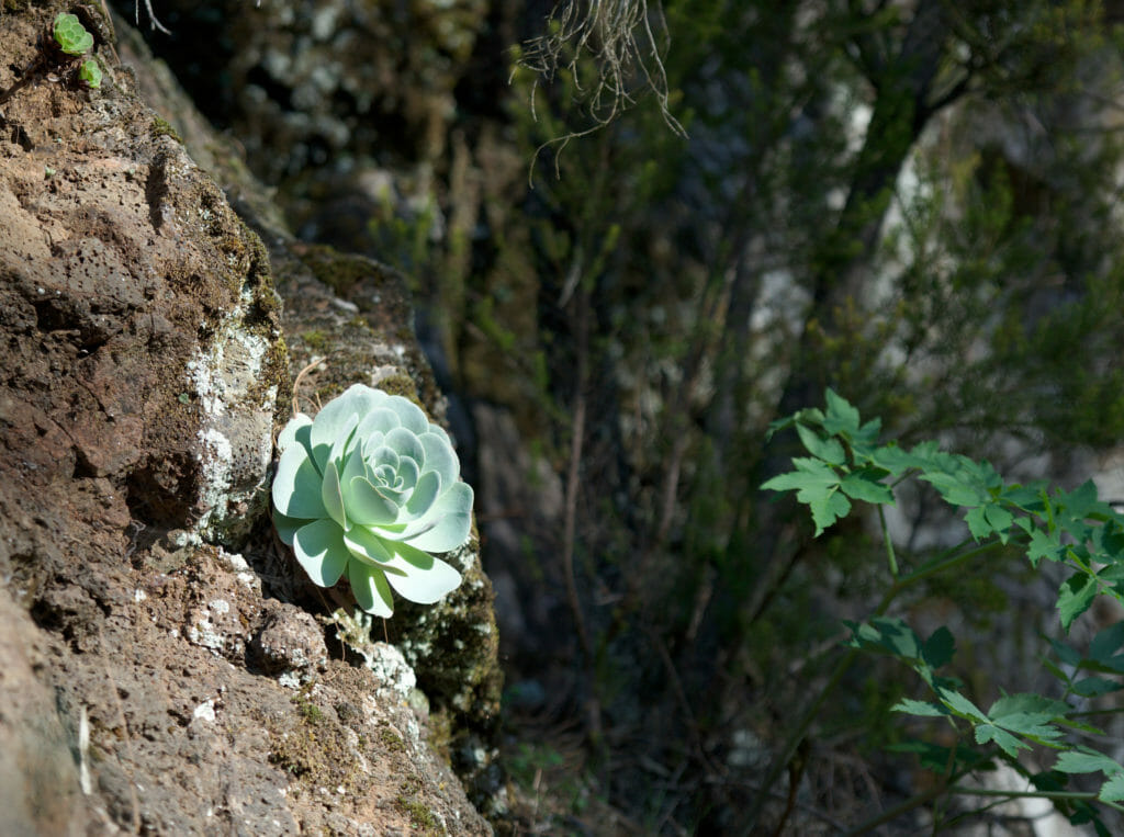
Just a few pictures of this nice hike to wet your appetite:
The Teide national park
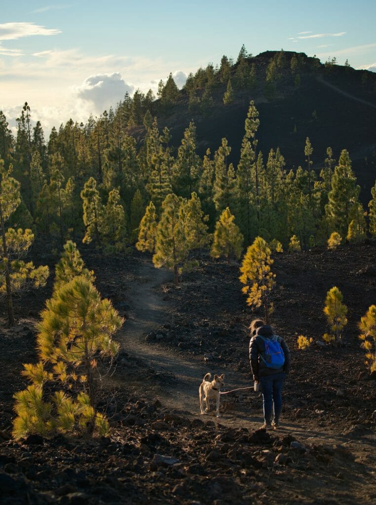
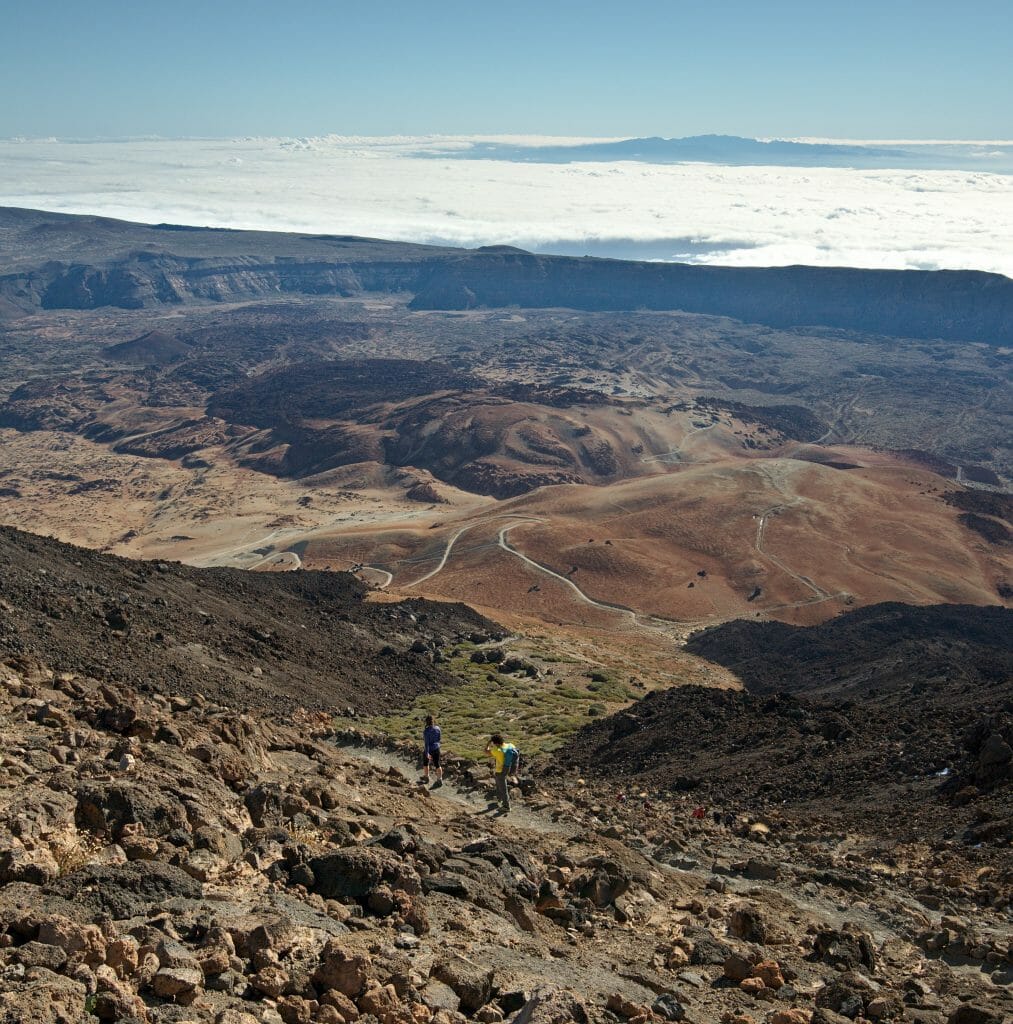
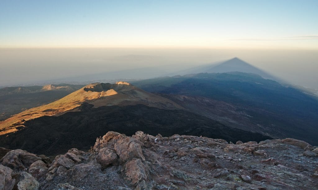
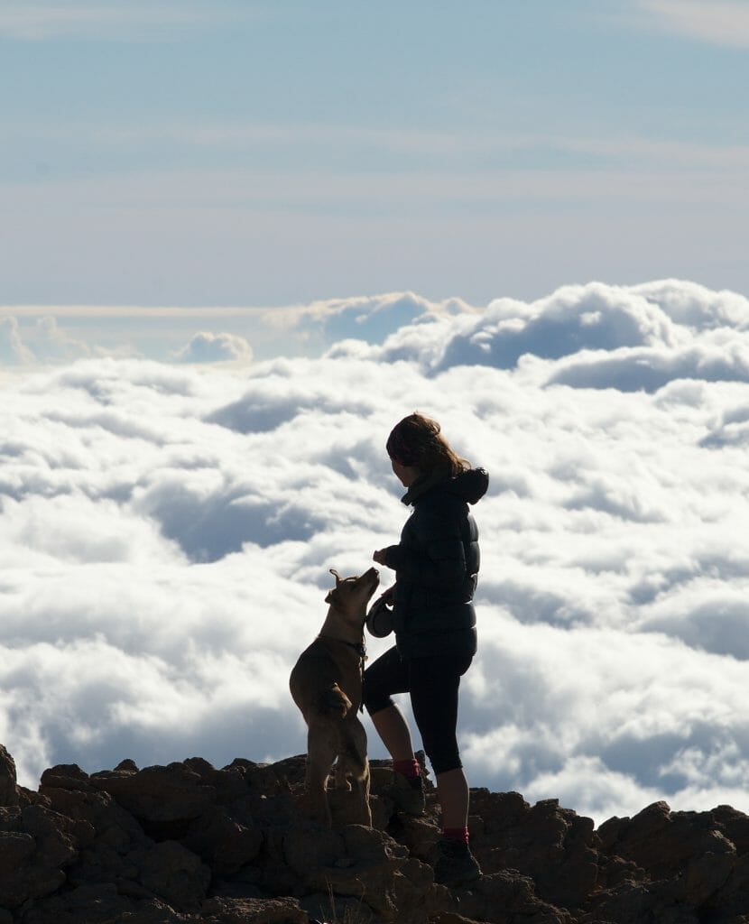
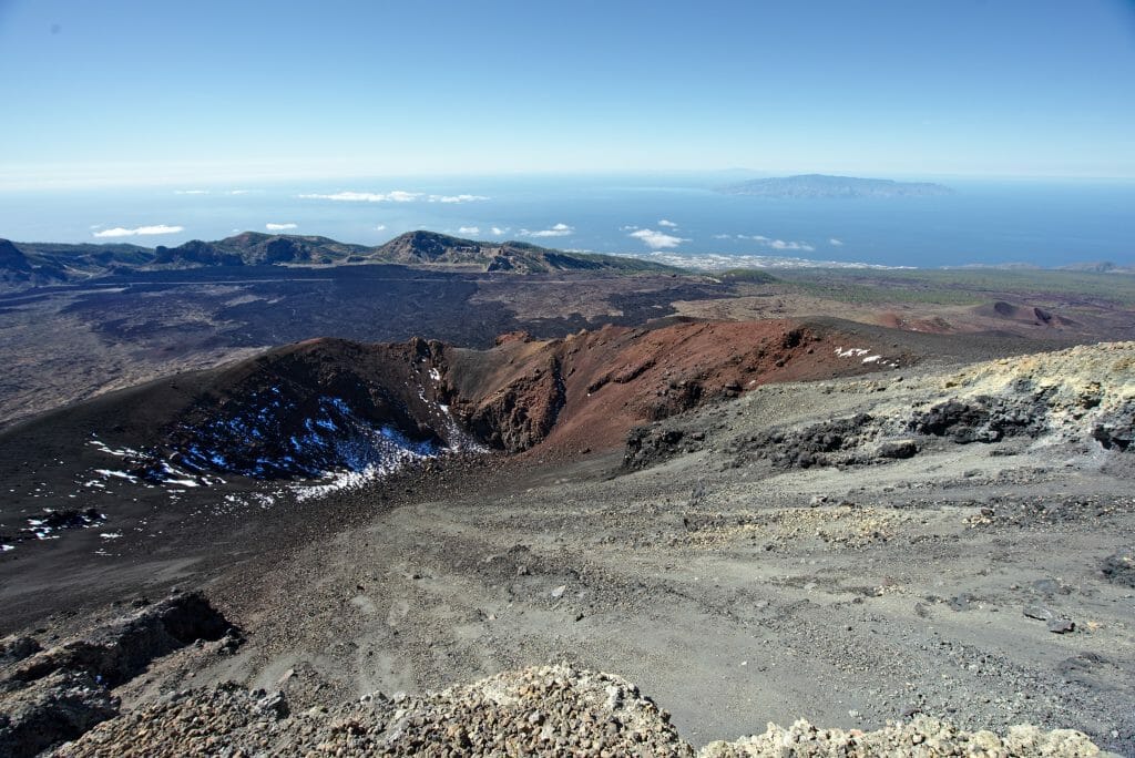
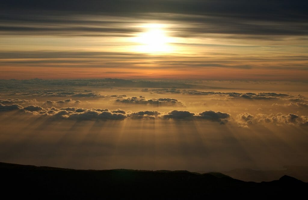
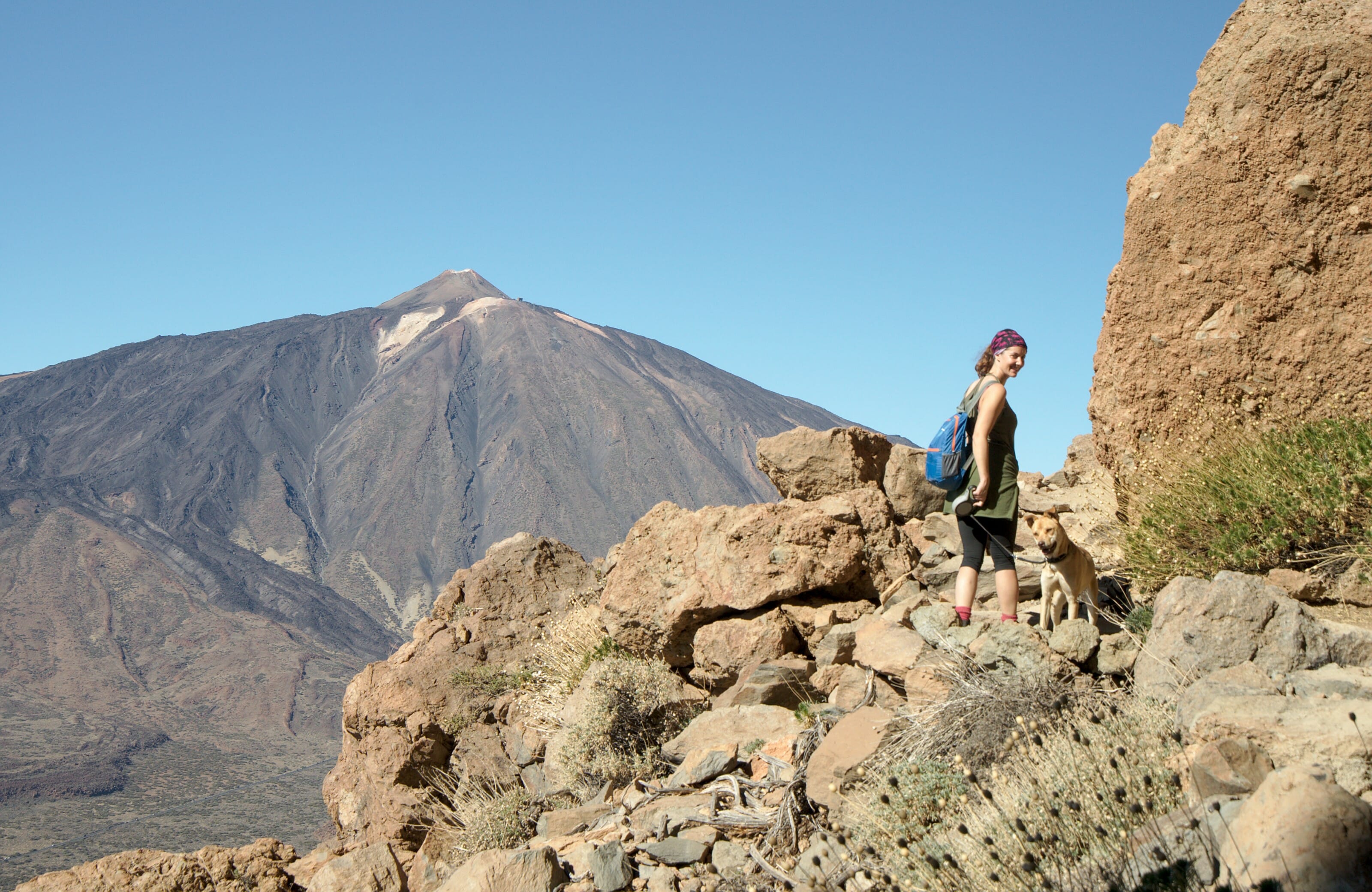
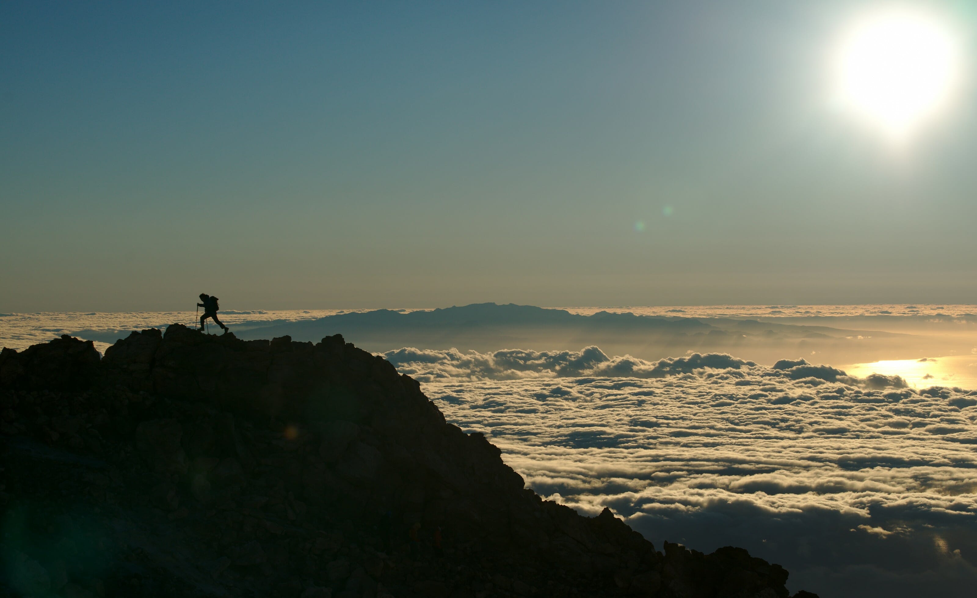
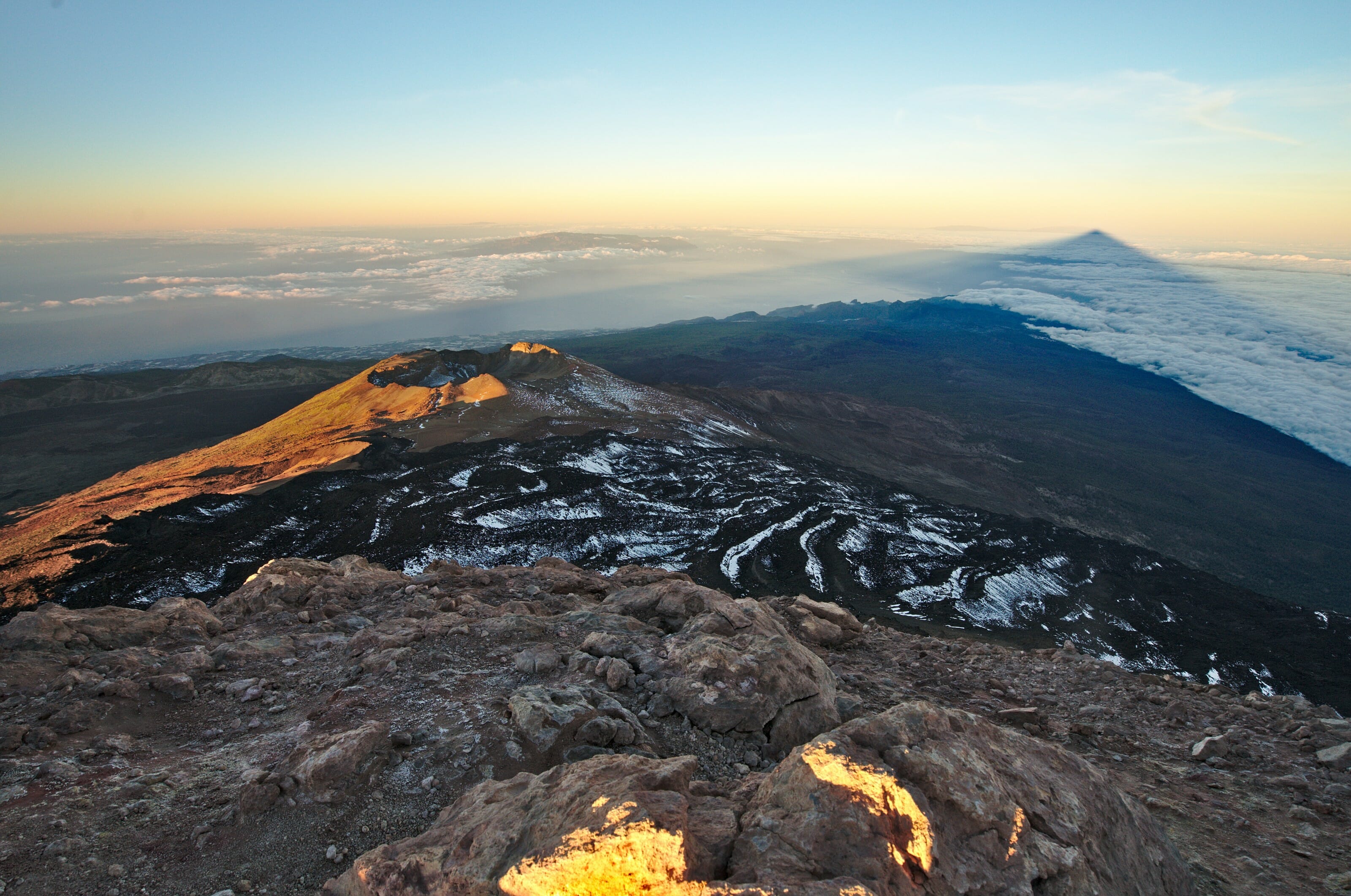
From La Caldera, if you continue to follow the road for a few kilometers, you will reach the Teide Park. I couldn’t tell you how many times we went up during our stay (more than 15 times for sure) and the Teide is undoubtedly a paradise for hikers! Besides, Teide is also the place where you will want to go on days when the sky is a little grey… Indeed, the clouds on Tenerife tend to stagnate at around 2000m above sea level, so going up towards the Teide you have a good chance of getting over it and facing a big blue sky while by the sea you are under a grey sky.
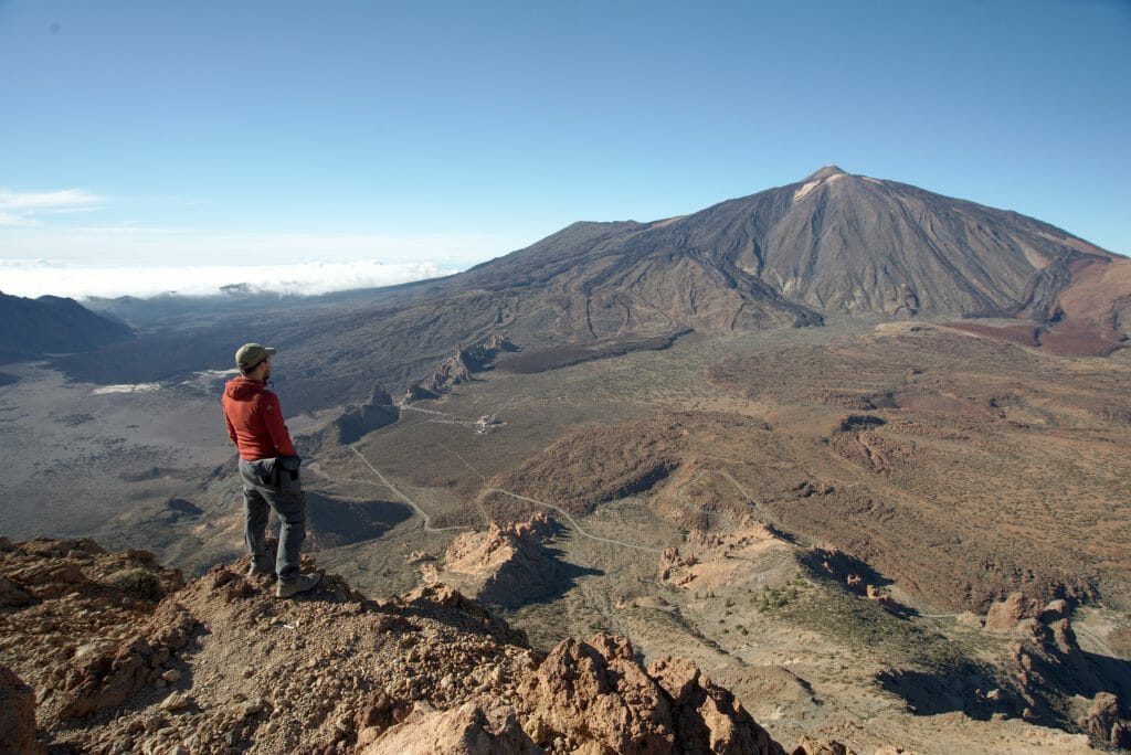
In the Teide Park the possibilities for hiking are almost endless! We made about ten of them (with different levels of difficulty). To find these hikes you can go directly to our 100% Teide articles:
In the articles above you will find all the details of the hikes with maps and explanations.
We talk more about the best places to stay in Tenerife (in our opinion) on this page. In the Teide Park itself, there are not many options except for the Parador del Teide (a hotel that is located at the top of the park and not far from the beginning of the hike). The night costs about 100€ for 2 people, but it must be quite exceptional to spend the night up there (especially if you want to go out to admire the stars!
If you are looking for ideas of activities to do in Tenerife we advise you to take a look at the sites of GetyourGuide and Civitatis.These two sites offer more than 50 different visits and activities.See GetyourGuide
See Civitatis
Coastal hike to the viewpoint of San Pedro
This is the favourite hike for retirees staying in Puerto de la Cruz! 🙂 Doesn’t sound very exciting or does it? No in reality it is a path that is indeed quite popular, but it remains very reasonable…. At our coliving it was one of our favorite spots to come and stretch our legs a little at the end of the day or during the lunch break.
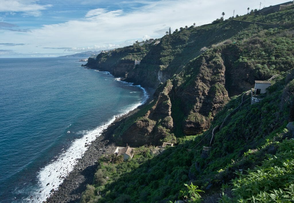
To do this hike we have two options:
- Either you come by car to the Mirador and make a round trip to the water elevator or to the so-called “De Castro” point.
- If you come by bus (line 363, to the “El Socorro” stop) you can continue along the coast and walk back to Puerto de la Cruz (Note: you can of course do it the other way too).
As you will see on the map below there are quite a few trails near the Mirador de san pedro and there are several possibilities to reach the small beaches. But the highlight of this hike is clearly the old water elevator in ruins. This house built in 1903 is called Casa Hamilton or also the Gordejuela water elevator:
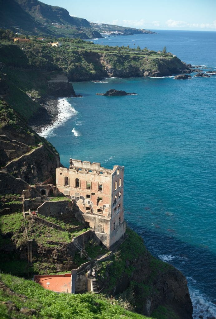
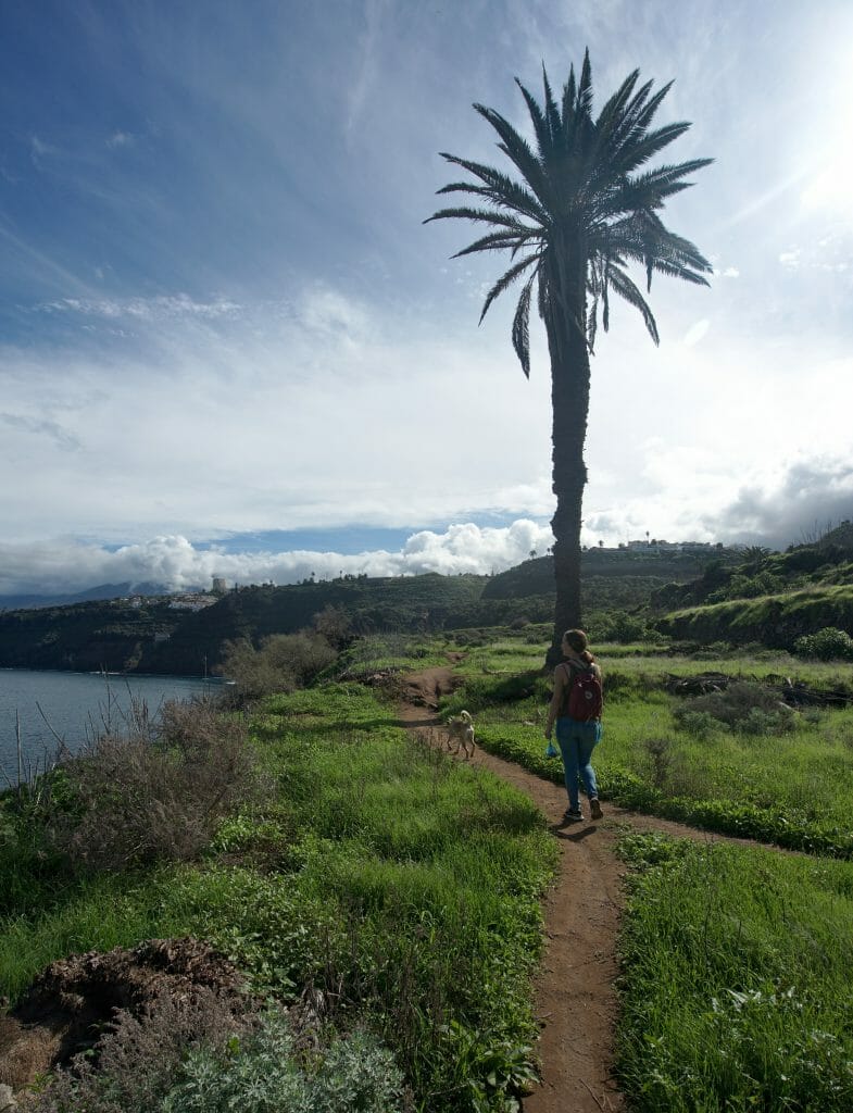
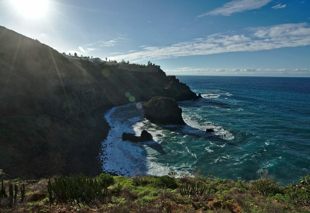
If you do the hike in all its length it takes about 1h30-2h, taking your time. It’s really a VERY nice place to stroll around!
The almost secret beach close to Puerto de la Cruz
Puerto de la Cruz is a little bit like the biggest seaside resort in the northern part of the island. So we don’t get excited, eh, it’s still relatively small. When we arrived in Tenerife and started our stay with 2 weeks of Spanish classes in Puerto and we thus decided to reent a small apartment there (after that we moved to the Orotava to go to a coliving).
Personally, I didn’t like Puerto de la Cruz so much. The locals like this small town because it is there that you can find the most activity in the north (except for Santa Cruz of course), but personally I don’t know… I never really liked it so much. In our article on Puerto de la Cruz (to be read here) we had already told you about 3 walks to do along the coast.
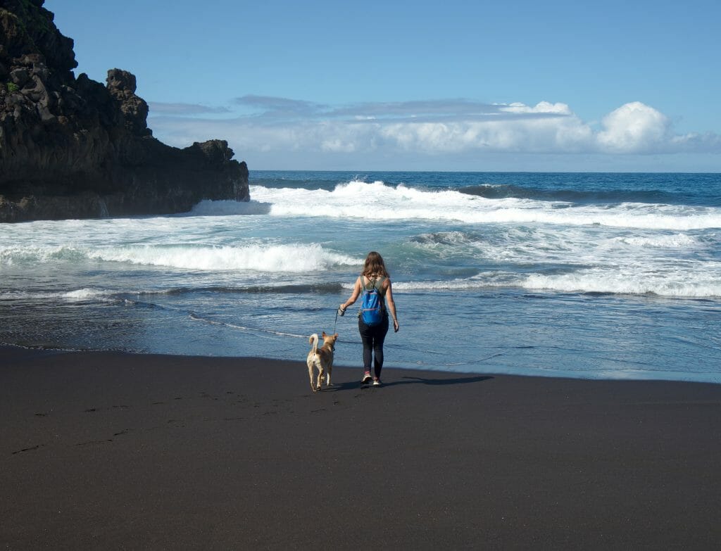
Our favorite hike at the time was “Bollullo” (the map and details can be found in the other article). But if you are looking for an even quieter beach than this one, then I strongly advise you to continue the walk to the beach “Los Patos/Ancon” (the last one). This tiny beach is almost always deserted and it’s just the absolute highlight!
The only problem is that the path does not continue 100% along the coast and that if you have gone to Bollullo (which I strongly recommend), you will have to retrace your steps slightly to take the small road again for a few hundred meters.
Here is the map:
Note: I set as a starting point the little road where we used to park to do this walk (we probably did it about ten times… it was one of our favorites with the coliving dog too;) )
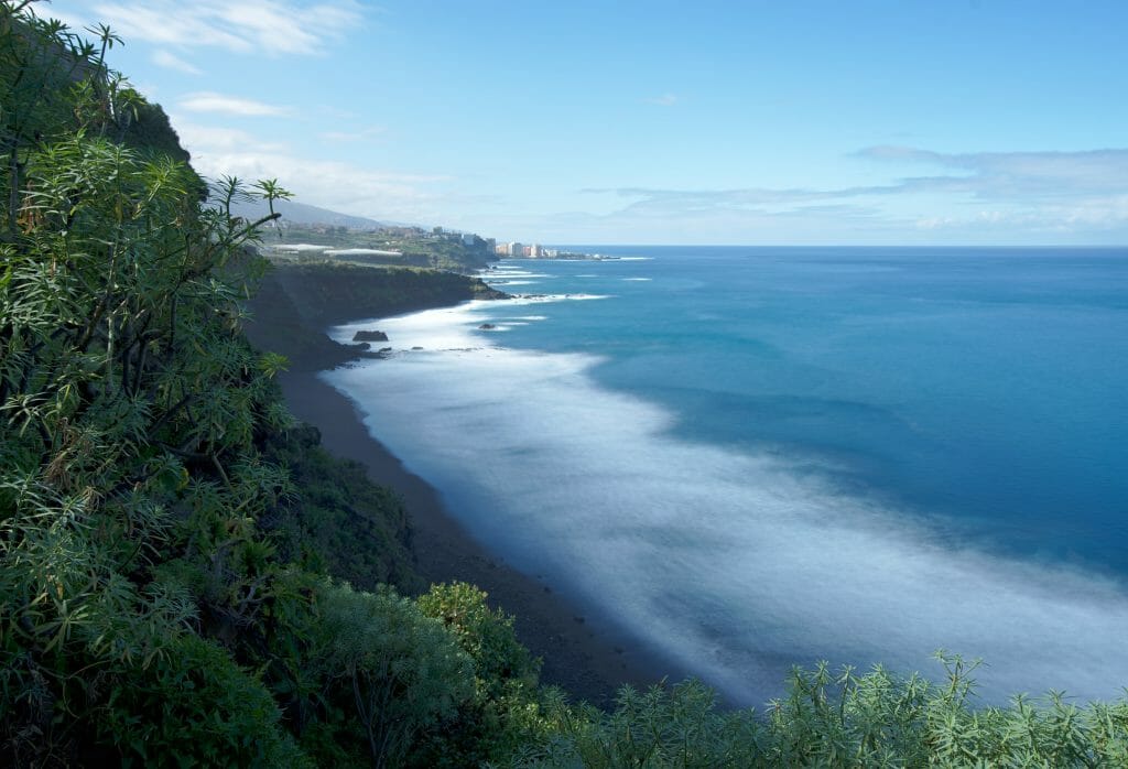
Passing through Bollullo it takes about an hour to reach the small beach. The round trip is between 8km and 10km (depending on whether you go to Bollullo or not). Afterwards, if you are motorized, you can also park directly in El Rincon (aim for the beach with the GPS and go until the road is closed to traffic). From this point it is a 15-20 minute walk to the beach.
The Anaga Natural Park
You couldn’t write an article about hiking in Tenerife without mentioning the Anaga region. This small point in the northeast of the island was one of our absolute favorite! 🙂 Rather than repeating ourselves (this article is already very long), I prefer to recommend that you read the 2 articles we wrote about this region:
If you come to Tenerife and you like walking it is simply UNIMAGINABLE not to go see the Anaga!
How to get to Tenerife?
The easiest and best option is to get here by flight. There are several options of airlines coming to Tenerife from various places in Europe. To find the best deals we recommend you take a look on skyscanner.
Note: If you are coming from Spain or if your hometown offers great deals to the main spanish airports, then it’s clearly worth taking a look at Vueling as well. They have great deals from the mainland to the islands!
The north of Tenerife: why didn’t we go south?
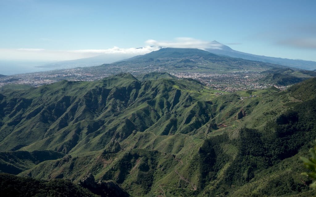
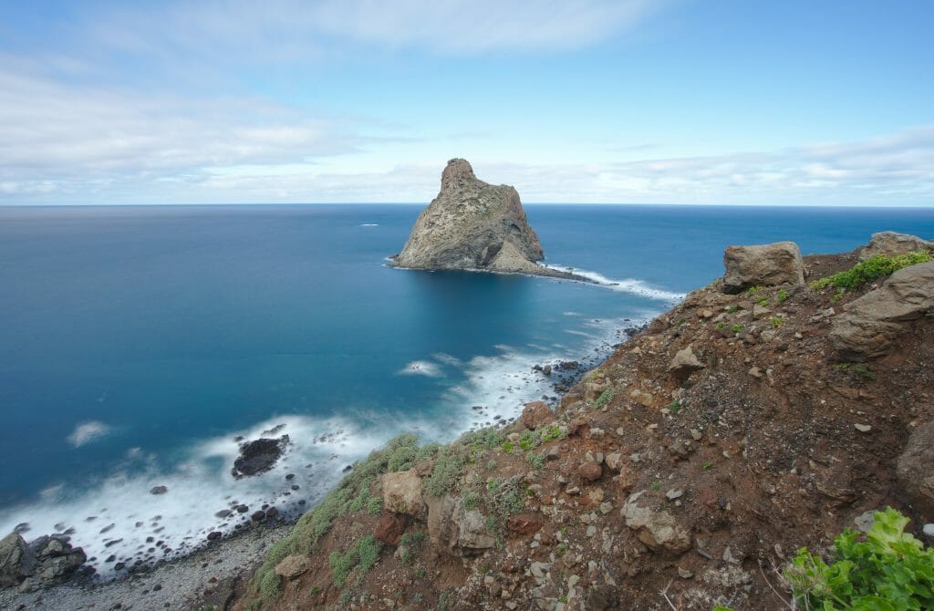
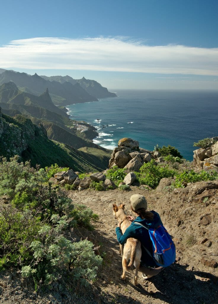
You may have noticed it, but in this article (and in all our articles on Tenerife in general) we only talk about the north of the Tenerife island. The reason for this? Well, to tell you the truth, we haven’t visited the south much… In fact, the south of Tenerife is a bit like the “cliché” image of the Canary islands. There are also beautiful places, but it is also there that the majority of hotels, resorts and seaside resorts are concentrated. There are some nice hiking options, but to be honest, nothing like the north!
So yes, in the south it is warmer, the sky is more often blue (due to the Teide which blocks all the clouds) but there are also infinitely more people! Tourism developed extremely quickly and almost brutally in the 1970s and if you ask me, the regions of Adeje, Los Christianos and Playa de las Americas have paid a high price… The area has its “attractions” for the nearly 5 million tourists who visit Tenerife (5* hotels, cheap all-inclusive hotels, lots of German and English restaurants), but a if you are reading our blog this might be a sign that you are also looking for “something else”.
If you only come to Tenerife for a limited time and want to see beautiful landscapes and not buckets of bad mojito and lots of Germans wearing flip flops and socks then you can without further ado skip south and concentrate on the gems in the north! Promised in 4 months in the north we couldn’t get bored or even see everything we wanted to see….
Did you really have such a natural image of Tenerife? Have we managed to show you a slightly different facet than “what we imagine of the Canaries”?
Note: This article contains affiliate links. Rentalcars is the site we consistently use when we rent a car and renting a car is really the best way to visit Tenerife. If you go through our link for your rental, we will get a small commission and you will not pay a penny more. The same goes for Civitatis and GetyourGuide, these two platforms are the ones we also use regularly to find activities. In this way, you will support the creation of this kind of free and independent article. Thank you very much for your support!

Thank you very much for the information about these great walking locations in Tenerife. and the photos you added are beautiful!
Thank you for this great article and having such a work with it! Helped me a lot and definitely inspired me. Although is it just me or also others can’t see the maps and some pictures? (For example the Masca trail) Its quite shame as it was suppose to be some helpful maps I can’t find anywhere else haha
Hi Lucy,
Glad you found our post useful. The maps and pictures should appear while you scroll down… I just checked and everything works fine on my side. Maybe try with another browser to see if it fixes it.
hi. looking for a guide for hiking in Tenerife. Have any contacts? thanks. james
Sorry we always hiked on our own so we can’t really help you there 🙁