It’s been a while that this summit (the Barrhorn) located in the upper Valais, more precisely at the bottom of the Tourtemagne (Turtmann) valley, was on my list. Well… it is “officially” the highest summit of the Alps (with its 3610m) accessible by a marked trail without any mountaineering equipment (there is indeed the aiguille de la Grande Sassière which is also on my list and which goes up to 3750m but the trail is not very official 😉 ). Moreover it is lost at the bottom of a wild valley, with only the glaciers and the 4000m of Valais as neighbors (nothing to do with the posh side of Zermatt and its Matterhorn).
Update 2024: The Barrhorn is no longer “officially” the highest peak. A new trail has been built to the nearby Gross Bigerhorn 😉 The summit rises to 3625m, 15m higher than the Barrhorn. To find out more about this itinerary, click here.
So when a friend sent me a message to see if I would be motivated to climb the Barrhorn with him in the middle of the week, I didn’t hesitate one second to say YES! And I might as well tell you that in spite of all the efforts I made to climb up there, I didn’t regret my decision for a second because the landscapes are so beautiful in this area!
Come on, I’ll take you with me to the top of the Barrhorn!
The wild Tourtemagne valley (Turtmann)
Let me tell you, the way to get to the beginning of the hike is rather long… You have to go up a good part of the Rhone valley (i.e. Valais) up to the German speaking part of the valley to reach the village of Tourtemagne. Once in the village, you still have to go up to the end of the Tourtemagne valley road (which is 22kms more uphill) to the parking lot of Sänntum at 1900m. We cross several small mountain villages on the way up but I doubt there are that many people who live all year round in the Tourtemagne valley (nothing to do with the neighboring valley and Zermatt).
Useful Infos
For those of you who would not travel by car, it is unfortunately difficult to arrive at the beginning of the hike since there is almost no bus that goes up the Tourtemagne valley… 🙁
Regarding the parking lot of Sänntum, it is a paying parking lot and the price is 4chfs for 12h.
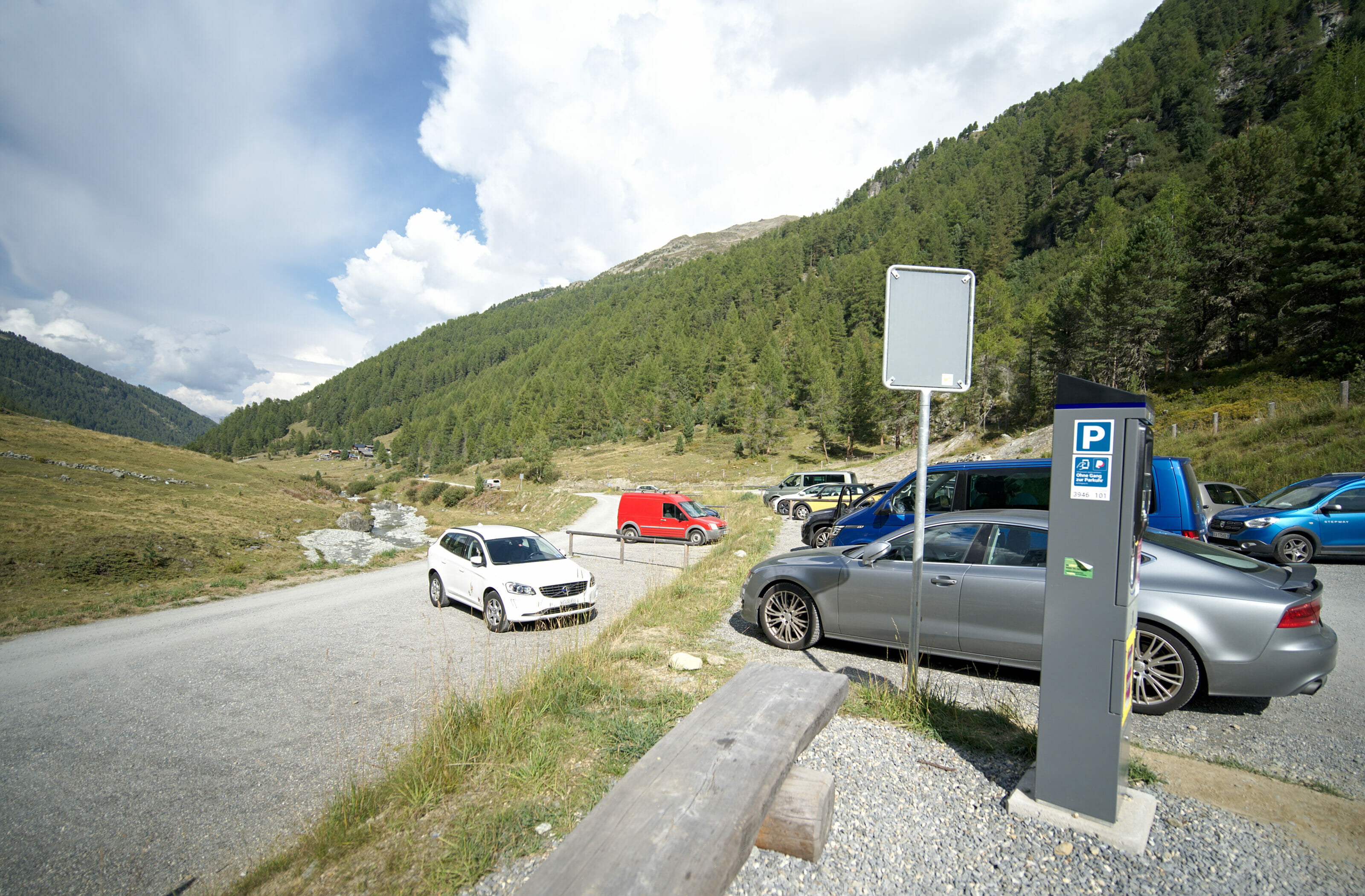
From Sänntum to the Tourtemagne hut
There are 2 options to go up to the Tourtemagne hut from the parking lot (the gpx track of the hike with the interactive map is at the end of the article):
- Either by the gorges of the Turtmänna river and then along the track that leads to the lakes of Tourtemagne.
- Either by the Holustei church and the panoramic path of Tourtemagne which overlooks the lakes.
So we decided to go up by the gorges to go down the next day by the panoramic path.
Note: It is possible to do this hike in one tough day, counting 9-10 hours of walking from the parking lot and back. But honestly if you want to take your time and enjoy it, I recommend you to sleep at the hut instead.
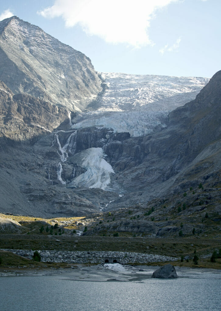
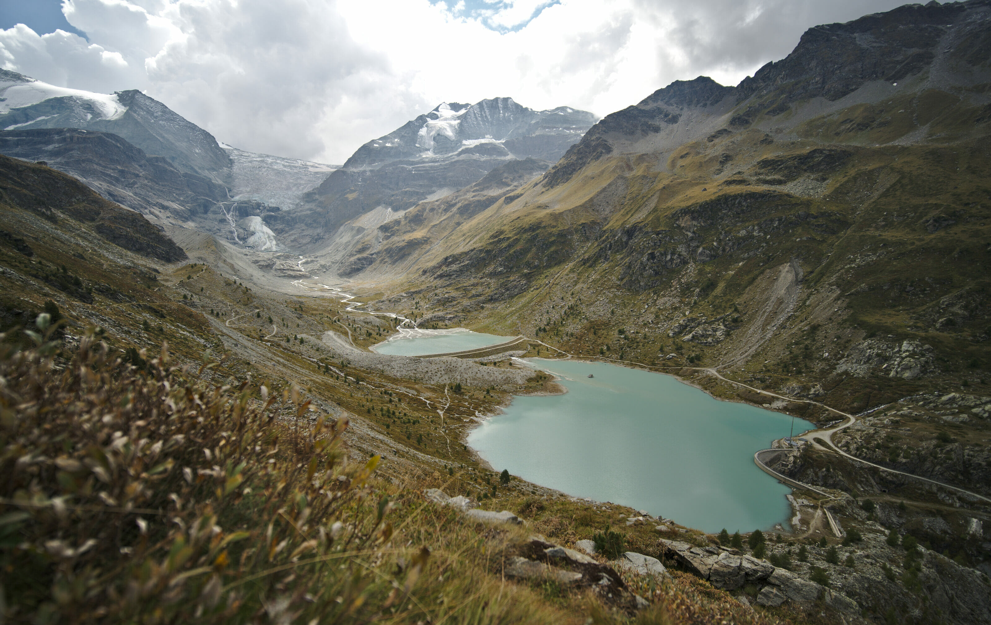
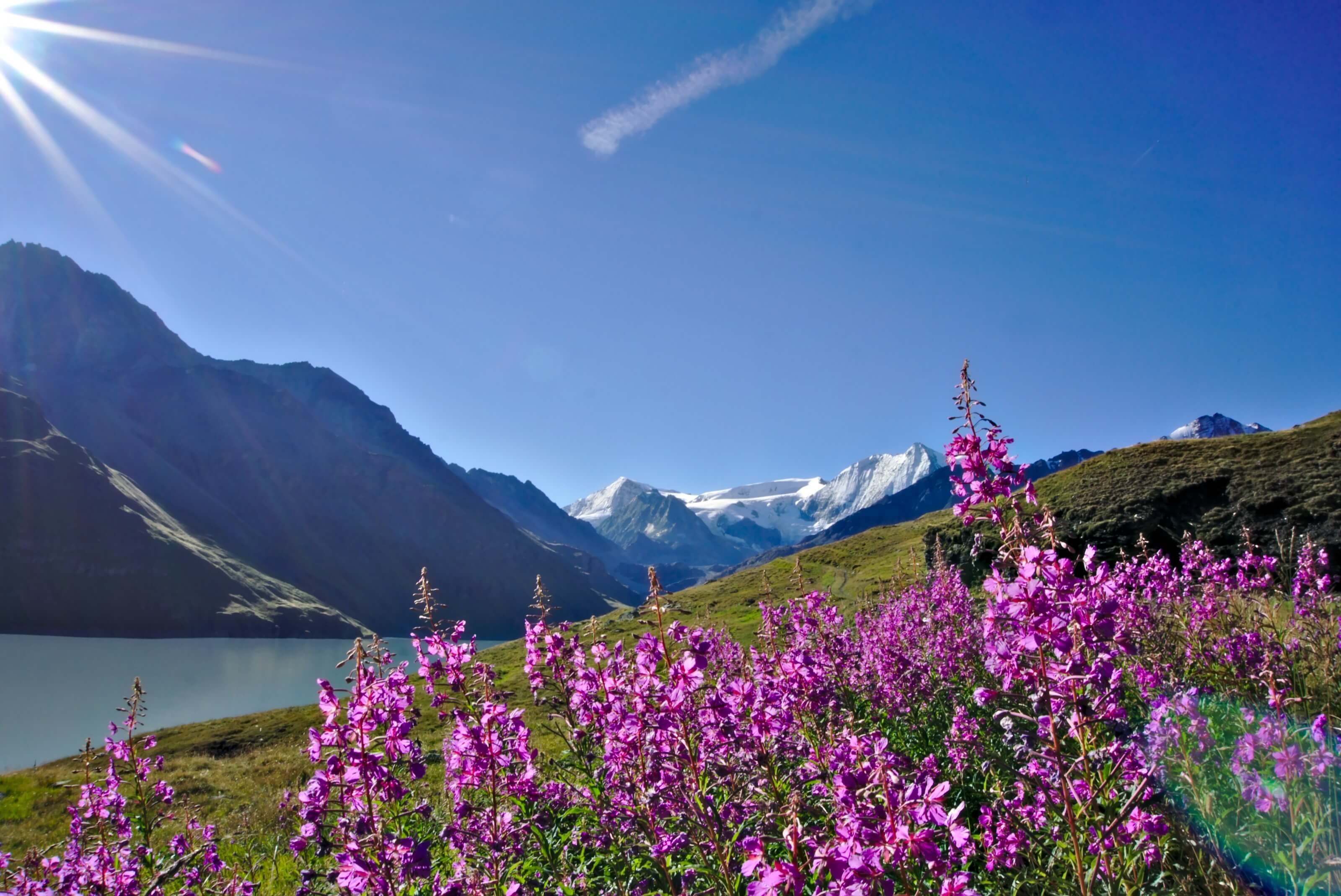
So we start our ascent by the gorge at the end of the afternoon with the goal to arrive at the hut for the sunset. After a pretty part in the forest and the gorges, we quickly join a track which takes us to the dam and the lake of Tourtemagne. In front of us, the atmosphere is already “high mountain” with the glacier, its waterfalls and the Bishorn (4153m) which rises majestically in front of us. We can also already see the hut perched on the side of the mountain above us.
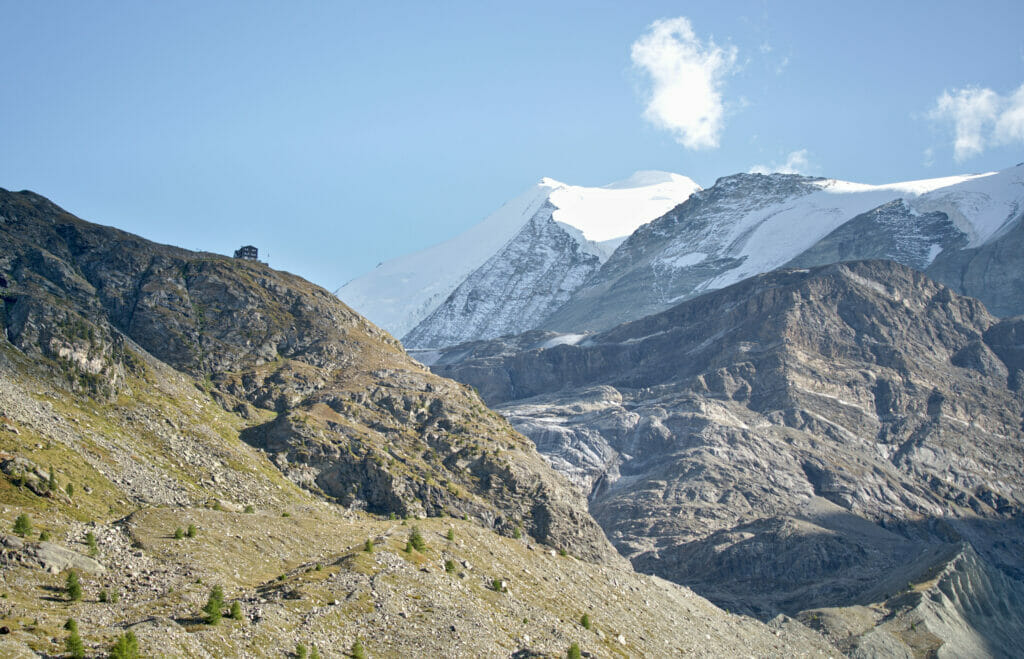
After the lake, it is once again a matter of choosing between 2 paths to go up to the hut: the Sommerweg and the Steinmannliweg. So we decide to go up the second one which is a little longer but less steep and we will go down by the Sommerweg the next day after the ascent. We arrive at the Turtmannhütte just in time for a small beer on the terrace with the sunset. We’ll spend a nice evening laughing with 2 German brothers sitting at our table… A very nice hut atmosphere!
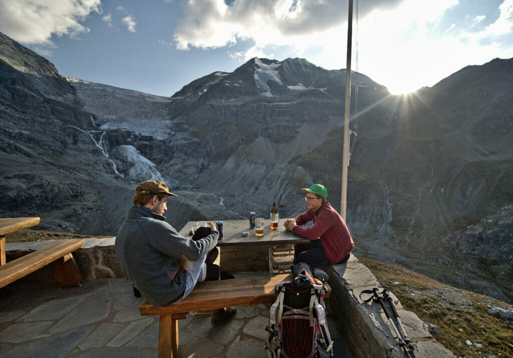
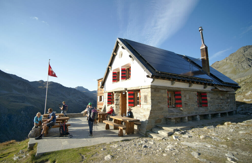
Notes: The night at the hut with dinner and breakfast cost 83chfs per person. Info and bookings on this page of the swiss alpine club.
From the Tourtemagne hut to the top of Barrhorn (3610m)
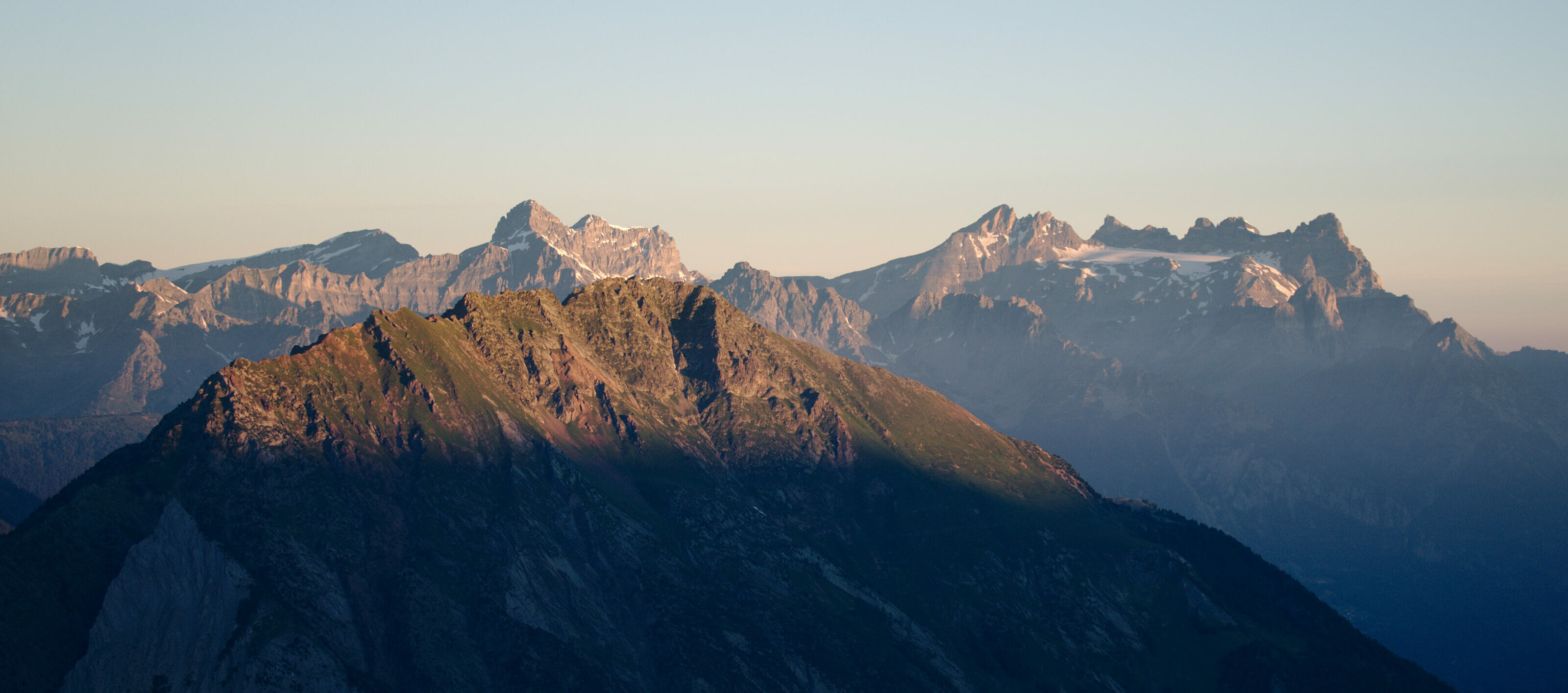
After a good night of sleep in a practically empty dormitory (#Covid 🙁 ), we get up to have breakfast at 6:30 am. I quickly get out of the hut with my camera to capture the pretty morning glows that already color the surrounding peaks.
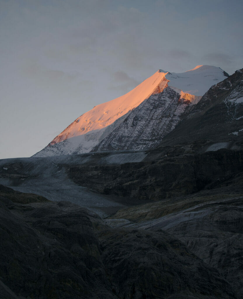
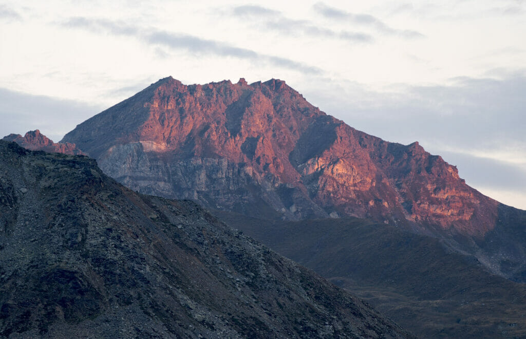
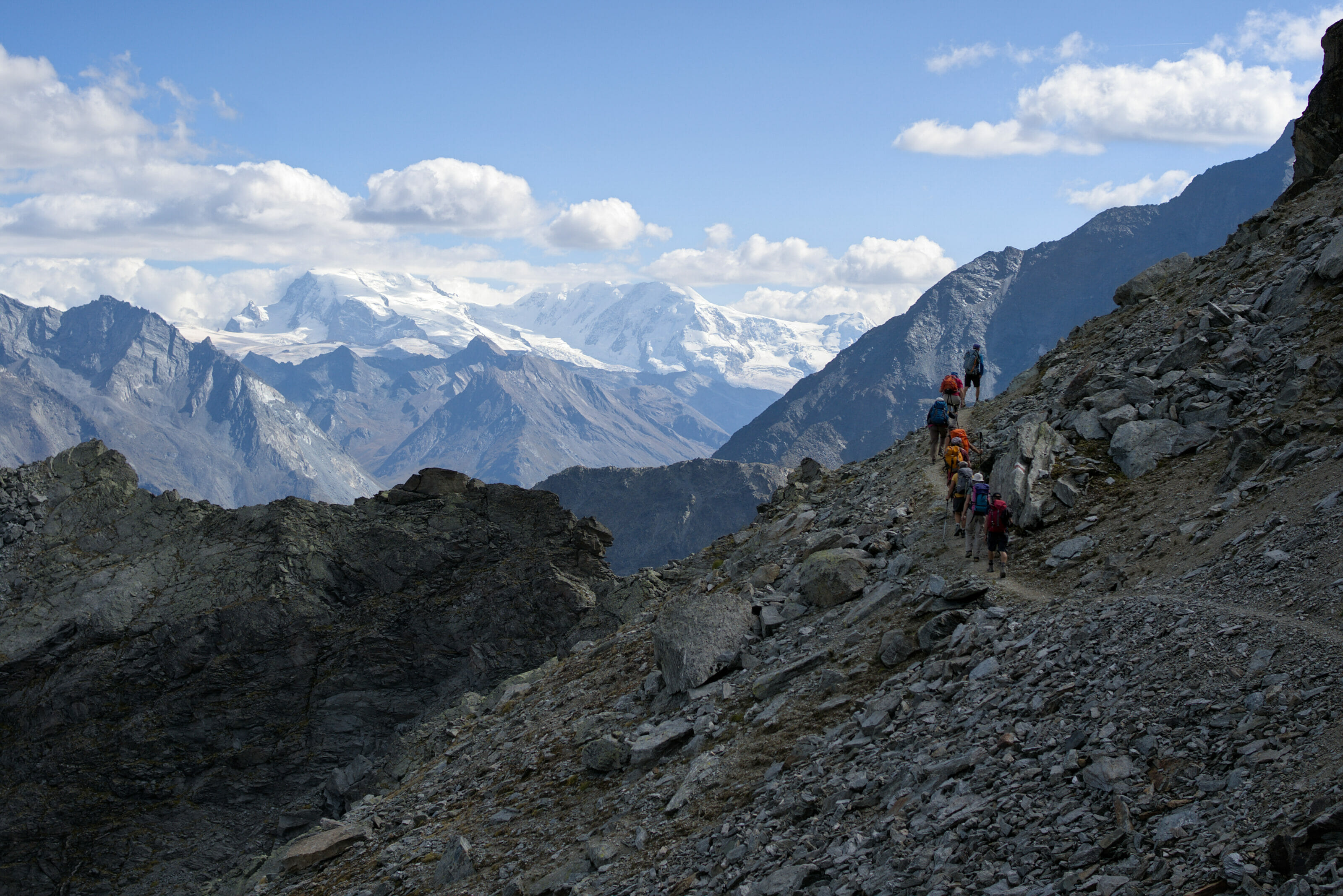
At 7:15 am we are ready to start the long ascent to the top of Barrhorn. We arrive quickly at the Gässi pass which is the main technical difficulty of the route (it is certainly because of this passage that the Barrhorn has a difficulty of T3). But honestly, this pass is super well equipped with a handrail and if you have a sure footing (and not too much vertigo), this passage won’t give you any problems. I still put some pictures below so you can make your own opinion 😉
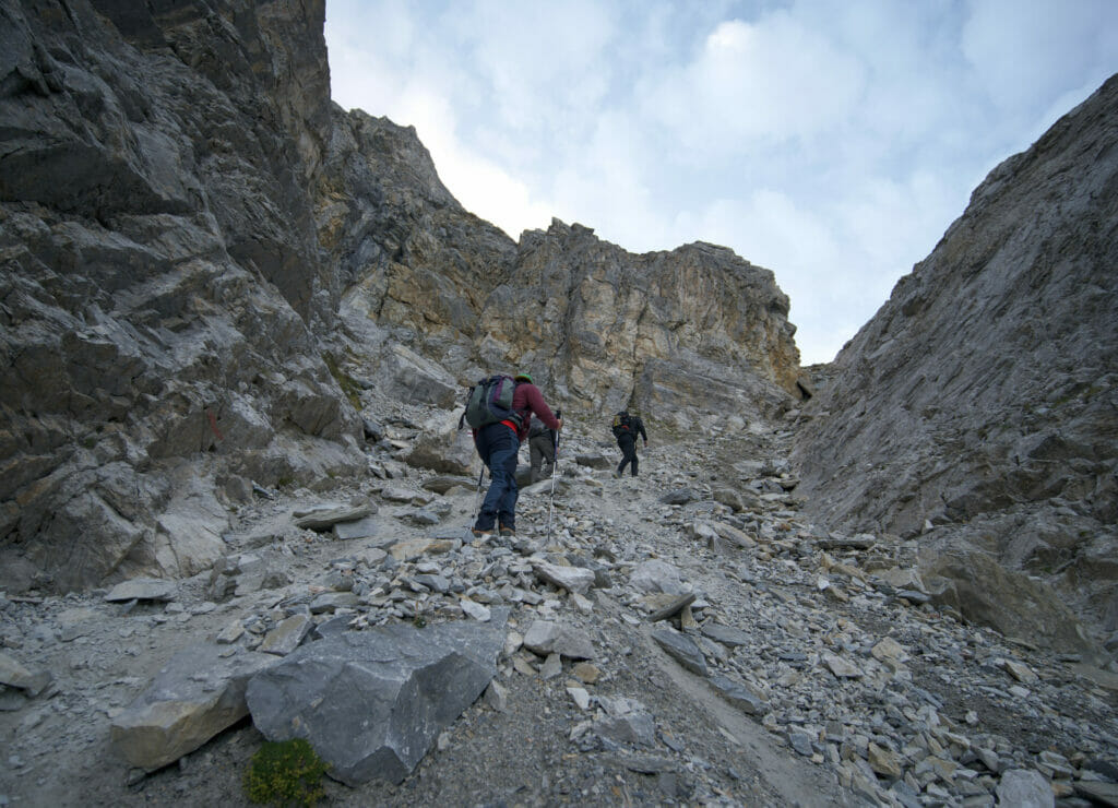
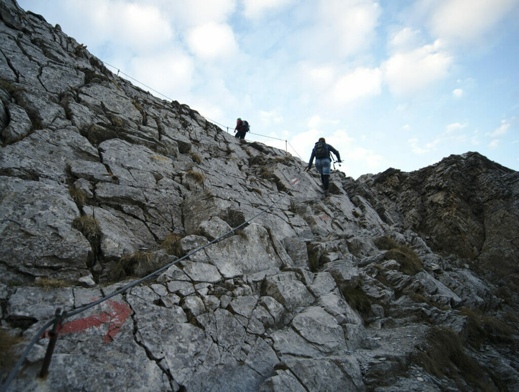
We leave the passage over to the Barr valley and a large moraine that testifies to the rapid melting of the glaciers 🙁 . The ascent on the moraine is long (2kms) but the view on the right on the Brunegg glacier and the impressive frozen slope of the Bishorn make us forget the rocky part we are crossing.
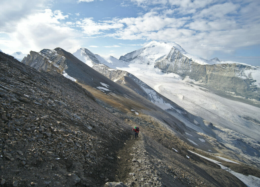
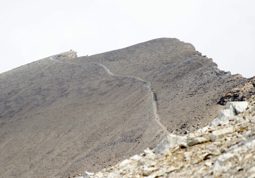
We arrive again at a fork before the last steep slopes which will bring us to the top of Barrhorn. We are only at 1,5kms of the summit but we still have 500m to go up! We decide all the same to take the most direct way which rises sharply through the scree slopes. Honestly, we can feel well that we are at more than 3000m of altitude… the breath is short, we go up much slower than before and we also make more breaks.
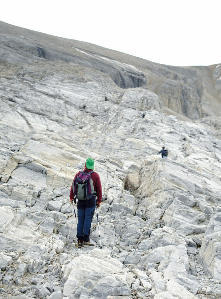
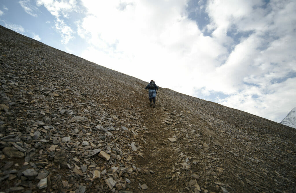
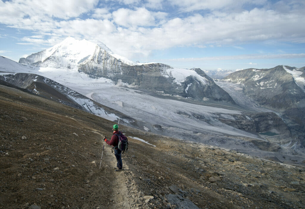
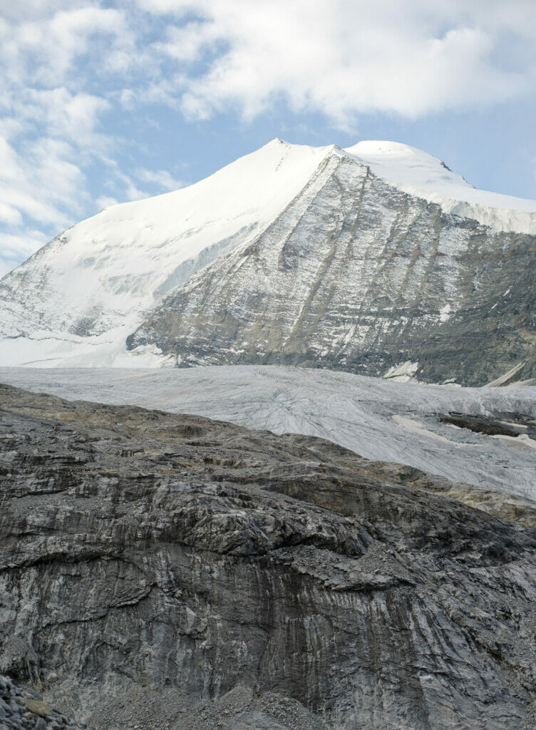
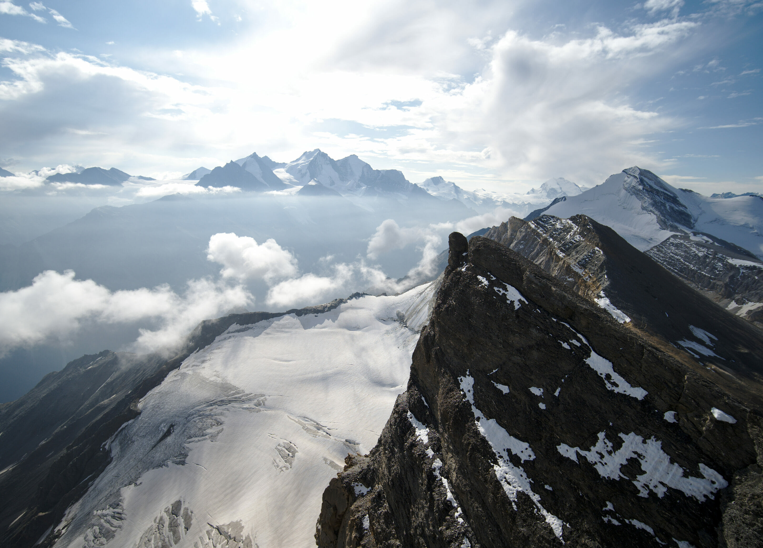
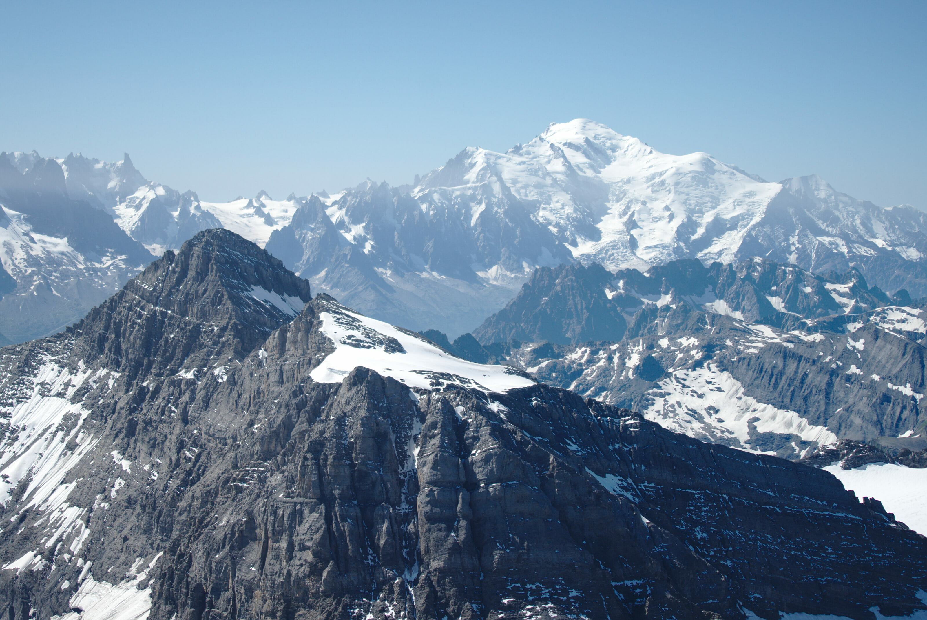
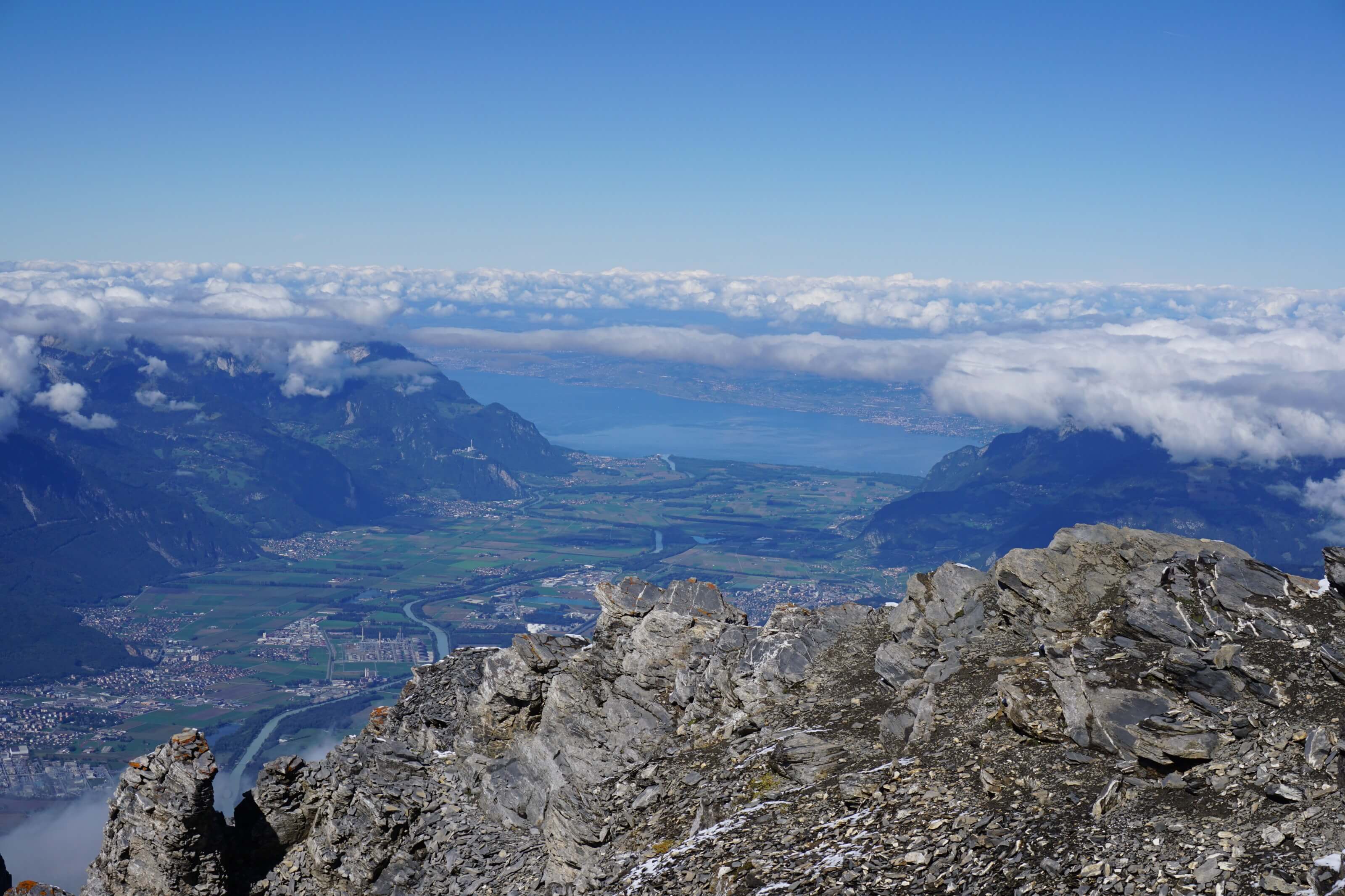
The 2 trails meet just before the final ascent which climbs at more than 40% to the summit. Fortunately it does not last too long and we are quickly rewarded for all our efforts by a fantastic panorama on all the surrounding mountains. The view is spectacular! We can see a lot of 4000m like the Weisshorn, the Bishorn, the Dent Blanche, the Monte Rosa… and even the Mont Blanc in the distance! We are also very impressed by the huge cliff that falls down just behind the summit cross. People prone to vertigo be aware 😉
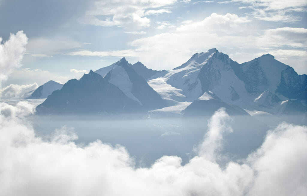
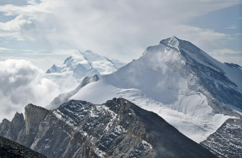
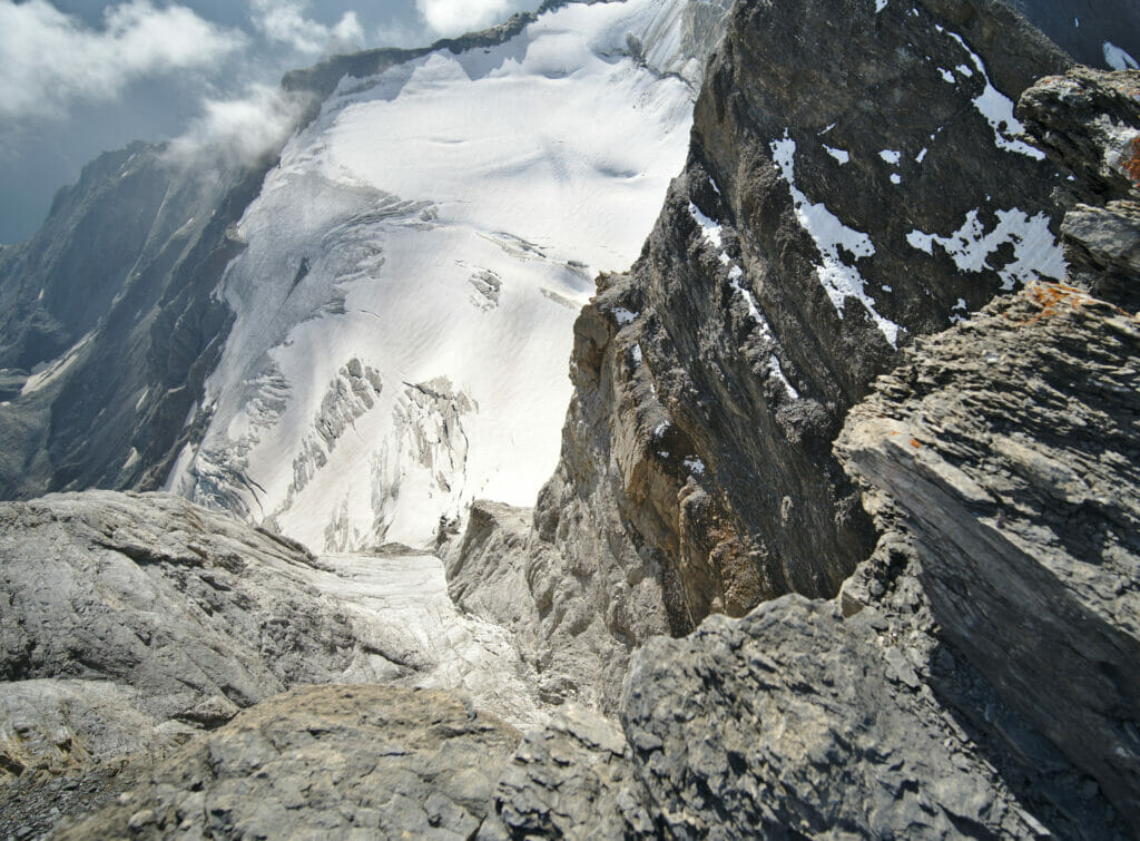
Note: It took us about 2h45 to get to the top from the hut. Obviously it will depend on your physical condition and your rhythm since the climb is quite steep.
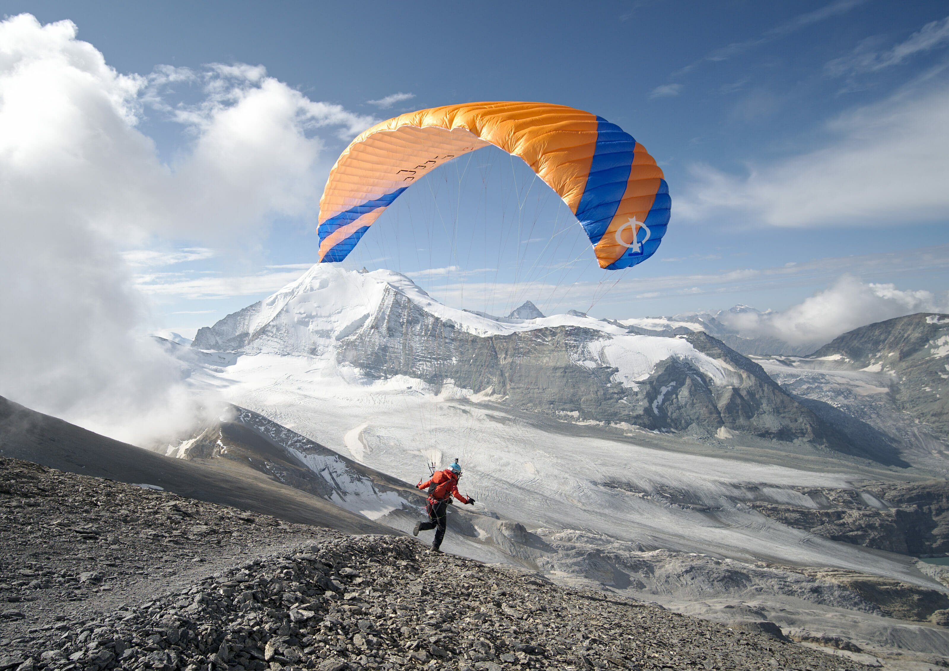
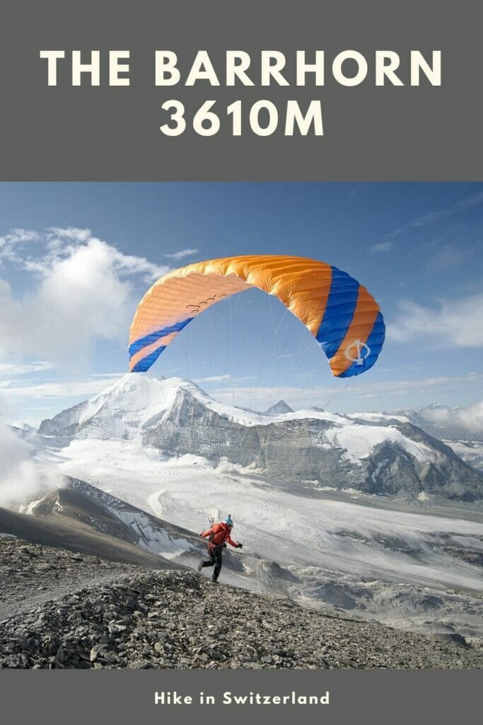
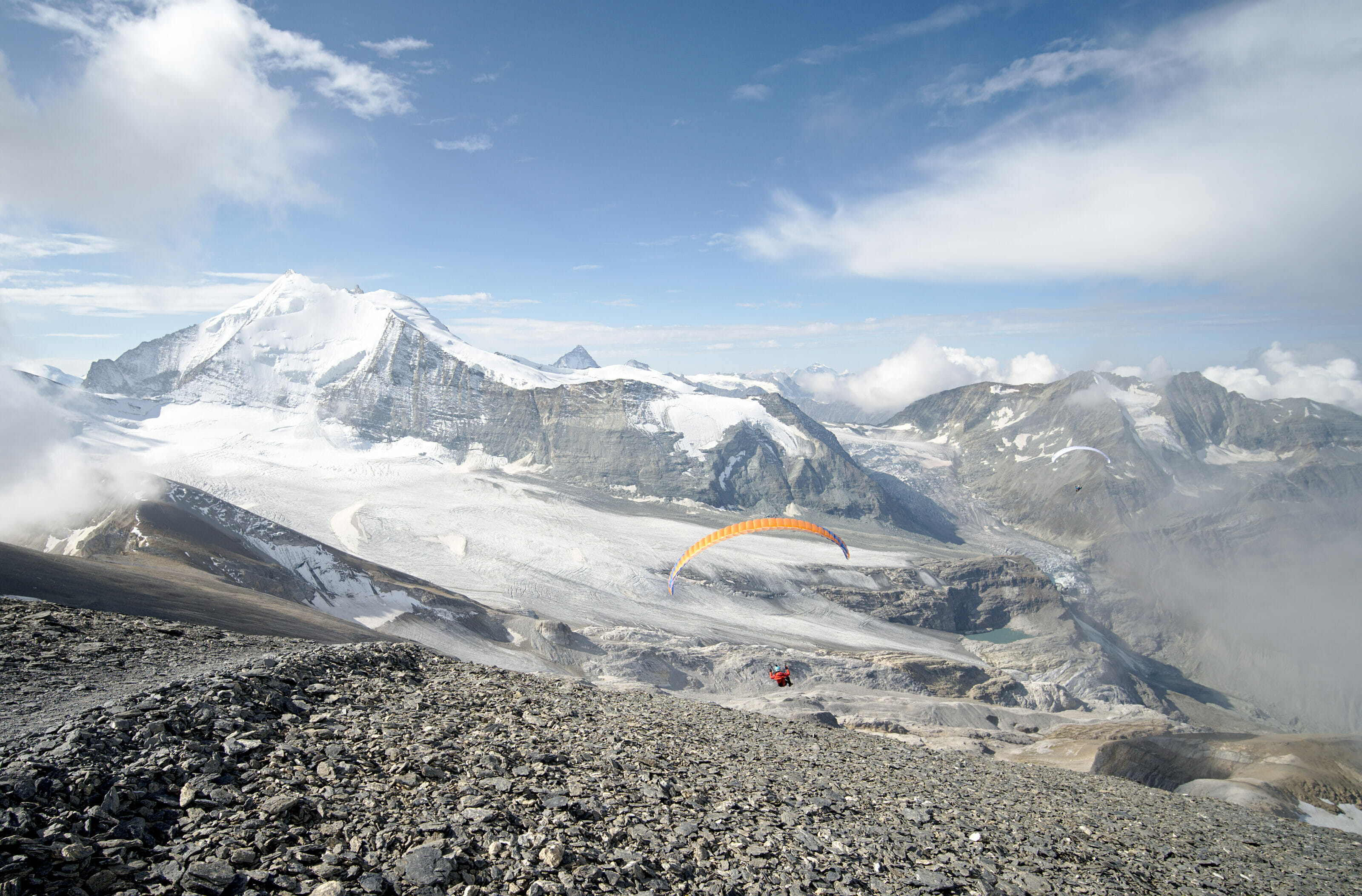
After 15 minutes alone on the summit, we are joined by 2 paragliders who plan to start from the top of Barrhorn. We ask them some questions and they explain us that their paragliding equipment weighs only 5kgs in total… honestly I never imagined that it could be so light! In 30 minutes they are ready to take off and fly down on the Tourtemagne side. We have to admit that at the moment we were a little bit jealous because we were about to start an endless descent to get back to the car. On their side it probably took them only a little hour of a beautiful panoramic descent… 🙂
The descent from Barrhorn to the parking lot
After enjoying the view for a good hour, we thought it might be time to go back down the 1700m that separates us from the parking lot. This time we choose the other way which goes along the ridge just below the Inners Barrhorn (the highest summit where we were is the Üssers Barrhorn) to go down again gently to the Schöllijoch. By the way, the slope on this side is a little less steep and you might prefer this trail for the ascent. The Schöllijoch pass is also the junction with the path that goes up from the other side (from the Topali hut) and if you still have the courage you could go up to the Schöllihorn from there.
By the way, if you are interested in the hike from the Topali hut (and if you are not afraid of heights), I did it in 2022. But I warn you right away, the Schöllijoch passage is rated T5 on the CAS hiking scale and will not be suitable for everyone.
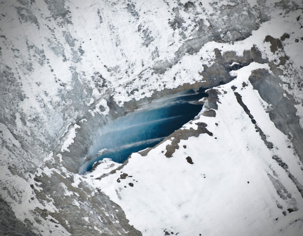
We then go down along the glacier to the moraine that we cross again by the same path as on the way up. We then go down again the Gässi pass to reach the Tourtemagne hut where we had left a part of our gear. After a short break, we go down this time by the Sommerweg, then at the junction we go to the right on the panoramic path of Tourtemagne which overlooks the lake and the dam. The panorama on the glaciers and lakes is splendid and I really recommend you to take this trail at least once during the hike.
After following the balcony path for perhaps 1.5 km, we go down to the left towards the church of Holustei. Our legs start to feel heavy and we are looking forward to the parking lot. The descent continues then in the forest where we find the path of the gorges, then the parking lot for our greatest happiness. It took us 3h30 of pure descent from the summit to the car. We are done but happy to have made this beautiful hike which kept absolutely all its promises.
Useful Infos
- Distance: 18,6kms
- Denivelation: 1660m of d+-
- Difficulty: medium-difficult. a slightly more technical passage which is the pass of Gässi and the rest of the difficulty lies in climbing partly at a high altitude. Difficulty wise it is a bit easier than the Haute cime.
- Duration: 1-2h from the parking lot to the hut, between 2h30 and 4h from the hut to the summit and 3-4h downhill from the summit back to the parking lot.
Note: if you wish, you can download the track of our hike and have it on your phone/connected watch. To do so, you just need to create a (free) account on AllTrails (the application we use every day for our hikes, which we talked about in detail here)
I hope that I gave you the desire to hike the Barrhorn! It really is an exceptional hike with very varied landscapes that will take you up to 3610m, in the heart of the highest mountains of the Alps. I promise you that even if your legs will certainly hurt a bit the next day, it will be worth it 😉
Pin it on Pinterest

Inspiring commentary and pictures. I hope to do this hike with my nephew sometime this year.
This is a great article and has inspired me to climb the Barrhorn next year. Do you know where I can buy a guidebook? Or whether it’s possible to hiker the whole way from Turtmann?
Thanks
My pleasure. By guidebook do you mean a hiking map of the area? Well it’s possible to hike from Turtmann of course but it’s going to be a challenging climb and you’ll definitely need to plan it over 2-3 days depending on you fitness level
Thankyou for a terrific description of the hike that I’m planning for next summer! Its easy to see that you’re pro when it comes to articles like this!
Hey Ulf! Glad you like my post 😉 . Ans stay tuned as I plan to hike the Barrhorn next week again but from the other side (the Topalihütte). I’ll update this post afterwards
Hi! Very nice post, full of practical details. It is much appreciated! May I ask at which month did you do the ascent? Is the path in a good shape in mid-May?
Hi Miroslav,
At this altitude there is no chance you can do it in May (hiking… ski touring is another story)… I would say if you are lucky (meaning the snow has melted fast, there are a lot of variations depending on the year), you might be able to do it starting in July. But the best months to do it are definitely August and September (max mid September if you want to sleep at the hut). Hope it helps.
Really inspiring blog and thank you for the detailed itinerary. Looking forward to doing this hike and reading your other posts.
Thanks a lot for a very nice, and informative article!
I hiked the Barrhorn yesterday(6th Sep), and there was almost no snow. I think it was indeed a bit easier than Haute Cime, but still quite challenging and I really enjoyed fantastic views. For those interested, you can check this webcam to see the status of snow, or weather. (https://www.myswitzerland.com/en-ch/destinations/panoramas/turtmann-damm/)