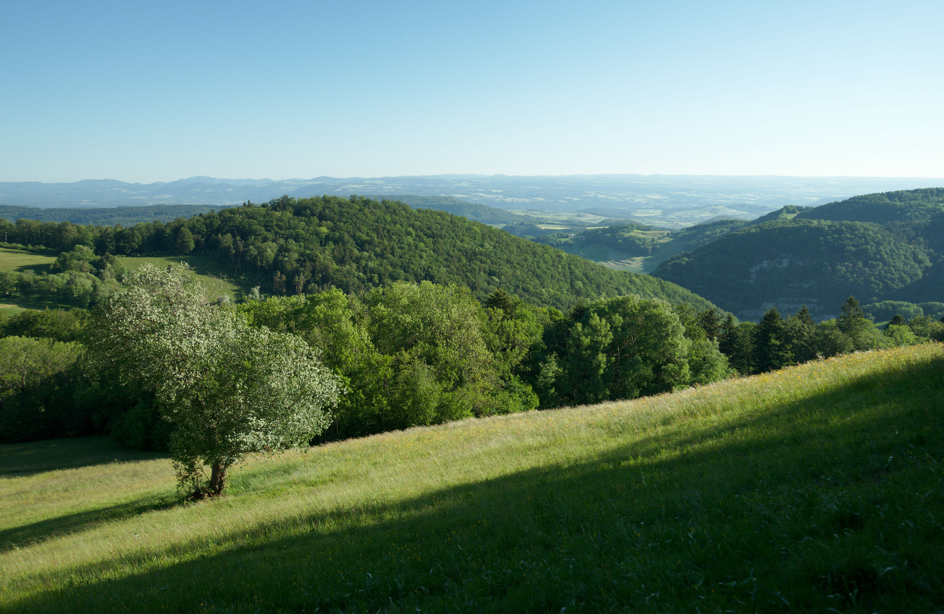
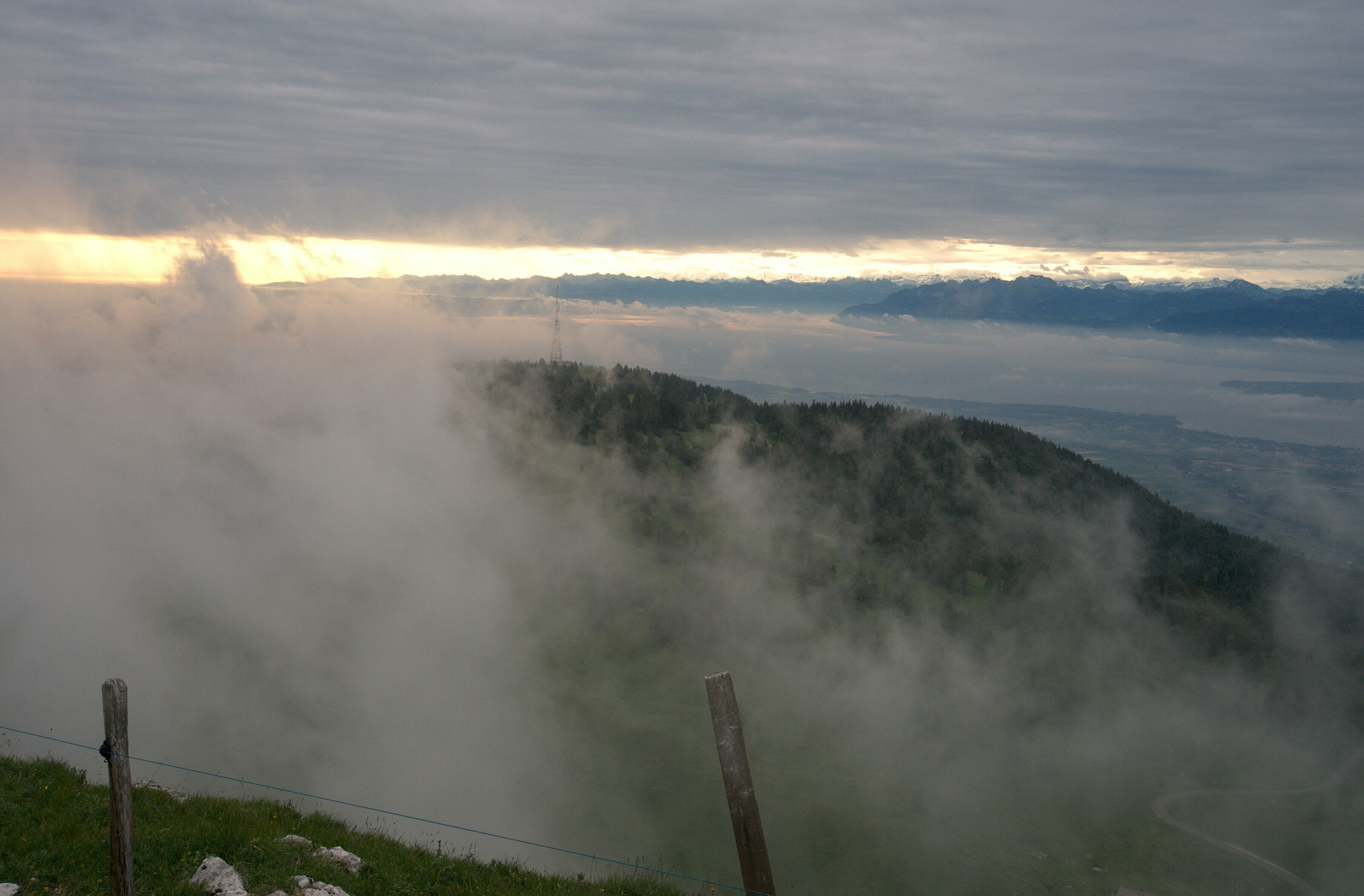
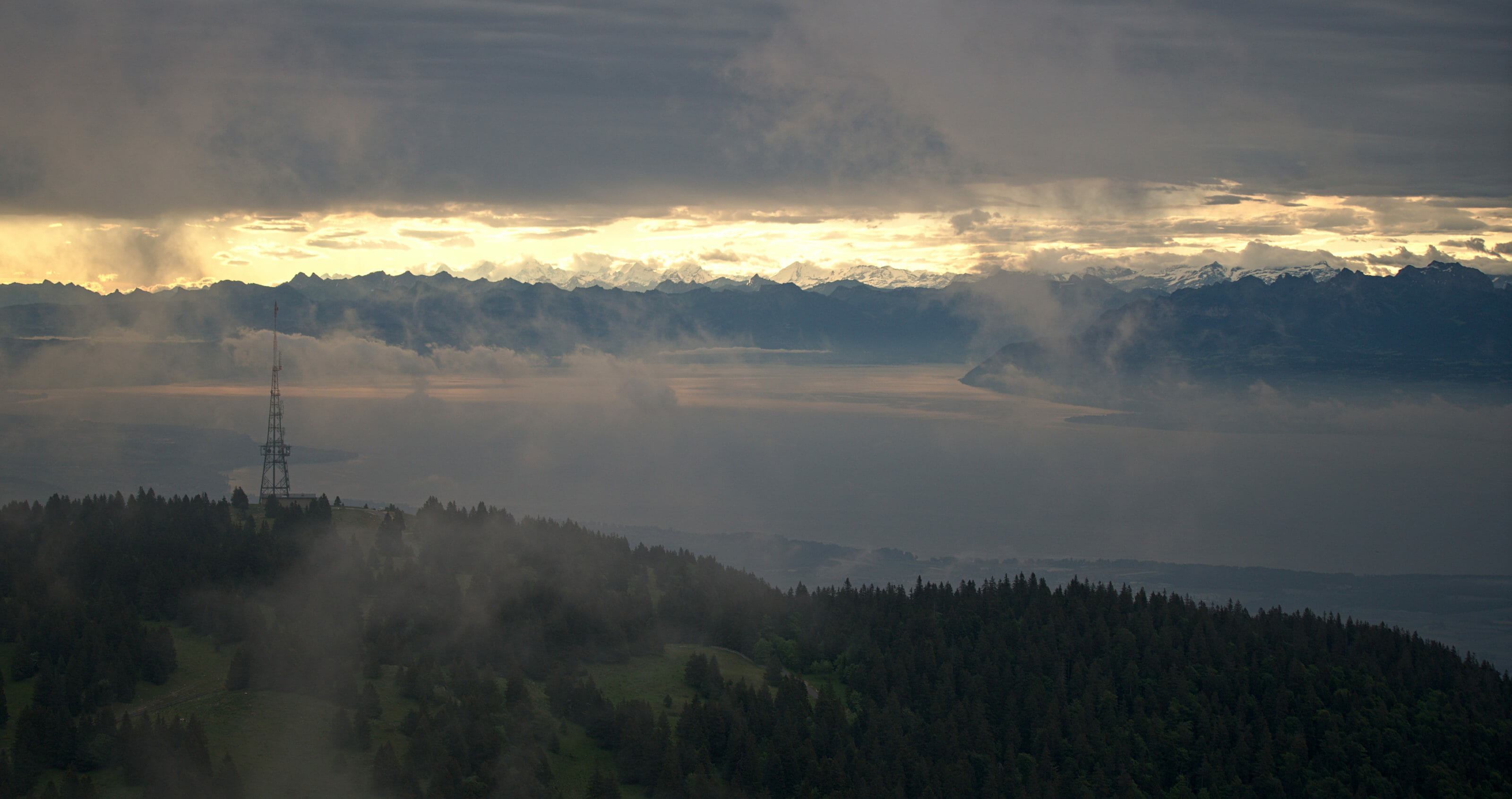
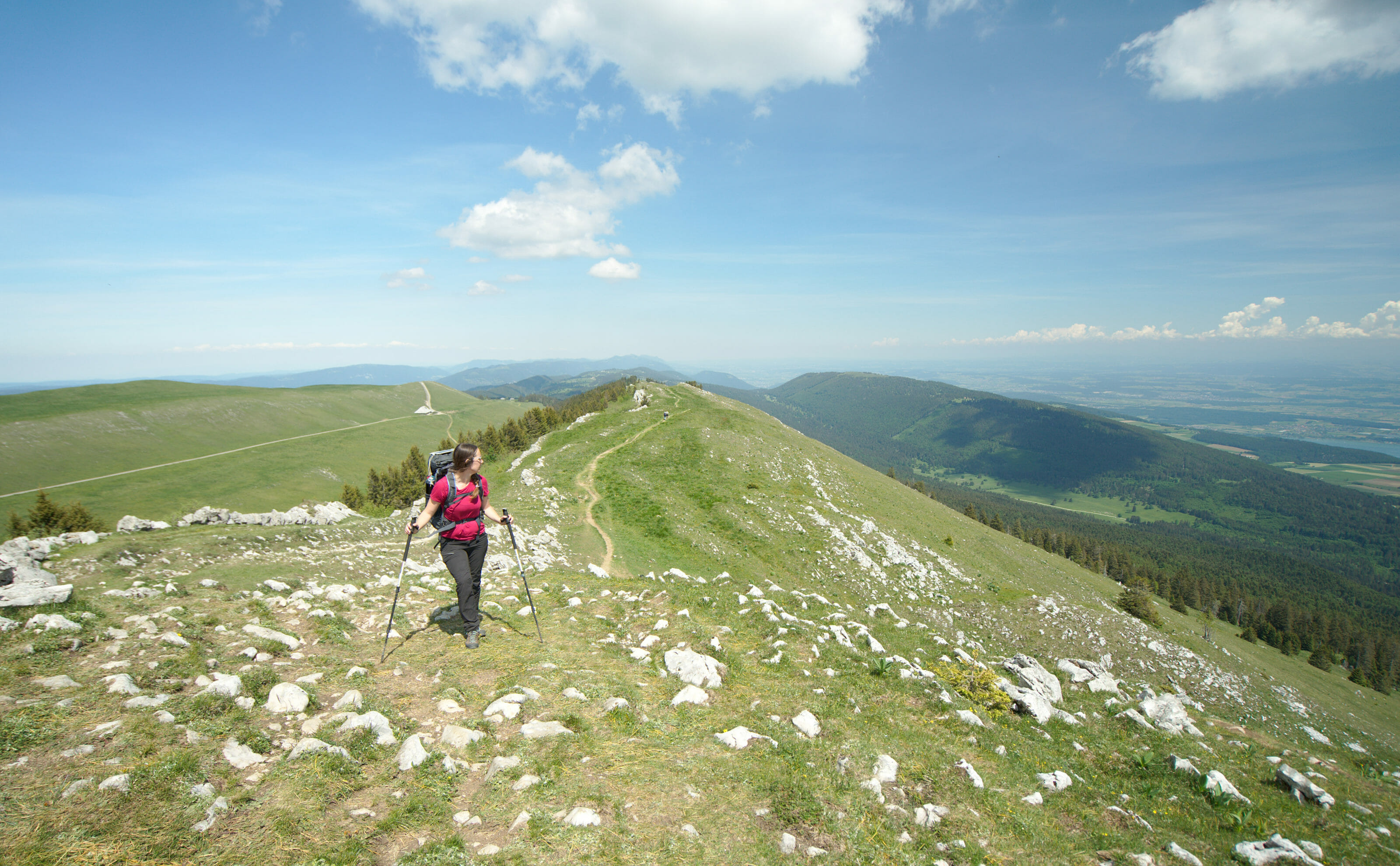
On the route of the Jura crest trail we passed the Marchairuz pass, the Mont tendre and the summit of the Dôle. All of them offer a magnificent panorama of Lake Geneva.
After having taken the national road N°1 (the Via Alpina) in 2017, we opted in 2020 for another national road: The Jura crest trail (Road N°5).
On this page you will find a summary of practical and general information dedicated to this itinerant hike. On the map below and at the bottom of the page you can access our different articles by region/area.
Here is the map with all our articles along the ridges of the Jura:
This is probably the BIG highlight of the Jura peaks compared to the Alps! The maximum altitude on this hike is below 1700m, which means that from a snow point of view it is accessible most of the year.
It will always depend on the years and snow conditions, but generally speaking, the hike is accessible from the end of April to October/November! For our part we did the hike between the end of May and the beginning of June and we had between 4°C (thanks to the cold wind and the rain) and 25°C! :)
Officially, the Jura crest trail has 16 stages. In absolute terms, it is possible to complete the whole itinerary by staying in guest rooms, mountain pastures, hotels. Here are the "official" stages:
| Stage | distance | Elevation change |
|---|---|---|
| Dielsdorf - Brugg | 25km | 880m+ / 950m - |
| Brugg - Staffelegg | 17km | 620m + / 340m - |
| Staffelegg -Hauenstein | 20km | 900m + / 860m - |
| Hauenstein - Balsthal | 21km | 950m+ / 1150m - |
| Balsthal - Weissenstein | 20km | 1300m + / 500 m - |
| Weissenstein - Frinvillier | 24km | 720 m + / 1450m - |
| Frinvillier - Chasseral | 17km | 1350m + / 300m - |
| Chasseral - Vue des Alpes | 20km | 700m+ / 1000m - |
| Vue des Alpes - Noiraigue | 22km | 840m+ / 1400m - |
| Noiraigue - Les Rochats | 13km | 820m + / 380m - |
| Les Rochats - Sainte-Croix | 19km | 780m + / 880m - |
| Sainte-Croix - Vallorbe | 25km | 780m + / 1050m - |
| Vallorbe - Le Pont | 14km | 800m + / 600m - |
| Le Pont - Col du Marchairuz | 21km | 1050m + / 620m - |
| Col du Marchairuz - Saint-Cergue | 17km | 460m + / 860m - |
| Saint-Cergue - Nyon | 26km | 780m + / 1400m - |
Then I won't hide from you that doing it by staing only at a refuge/hotel takes away a lot of flexibility. Some stages are almost "too short" while others are downright long.
During our hike we did the route in 14.5 stages and did not necessarily respect the official stages. We had our tent with us which allowed us to push a little more on days when the weather was nice and we could bivouac. On average, we walked 22-23 km per day.
As far as the altitude differences are concerned, it is quite interesting to note that although they are relatively important (not as much as the via Alpina but still a fair daily average) they are actually quite easy to do. Contrary to the Alps, here you don't go up "in one go" and then come back down; the days are interspersed with short climbs followed by short descents (it's just that there are a lot of them) ;).
Jura crest trial map:
As on the Via Alpina, the Jura crest trail as presented on the Suisse Mobile website is laid out in such a way as to offer you the possibility of doing the entire route without carrying a tent.
Afterwards, we regret a bit the fact that some official stages end at a pass with a bus stop (point from which you have to take a bus to reach an accommodation). This is particularly the case in Staffelegg. In Noiraigue there is normally an inn, but it was under construction when we passed by.
Some hotels also have closing days (often Monday or Tuesday), so if you want to do everything in accommodation you have to be careful. It is always best to call the accommodation at least 1 day in advance to ensure availability.
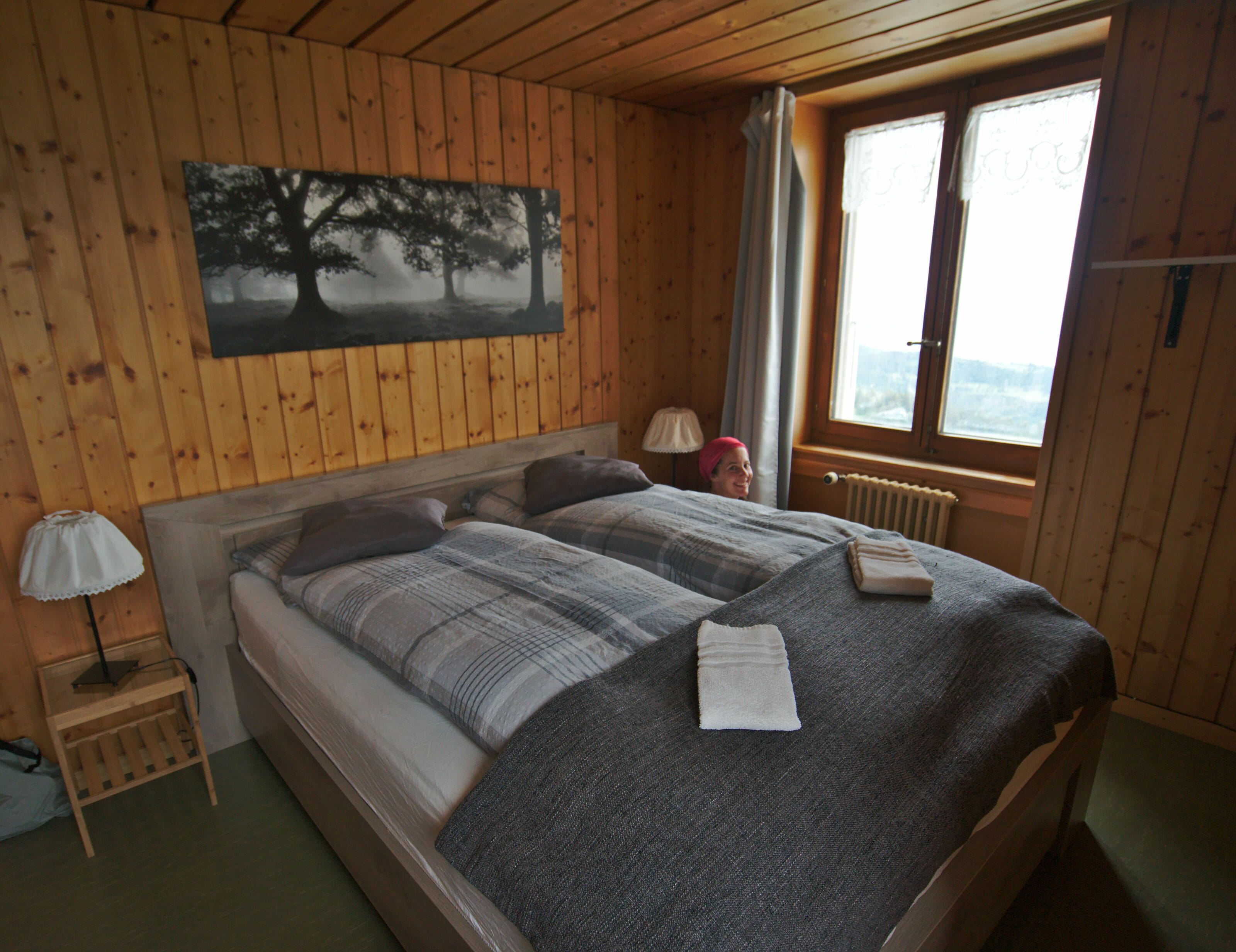
Budget-wise, the accommodation on the route is relatively reasonable. We paid between CHF 80 and CHF 140 for 2 people. (Sometimes in dormitories, but often in single double rooms). Breakfast is usually included in the price.
As we said earlier, we decided to take our tent with us. There is no real camping on the route (except in Saint-Cergue and Vallorbe), but bivouac is possible. We spent 7 nights in our tent during our trip.
For the regulation of the bivouac, it is necessary to refer to the various communal directives. The canton of Aargau, for example, authorizes the bivouac for 1 night ;)
As far as the communal competence is concerned, the simplest way is generally to ask the farmers and/or call the commune. On the Via Jura there are a lot of mountain pastures up to the top of the ridges. For our part, we have very regularly gone to ask permission from the farmers nearby and we have never issues to find a small place to put our tent.
Find all the information about the bivouac in our article where we talk about regulations, equipment and practical tips to find the perfect bivouac spot.
Read our detailed article about bivouac
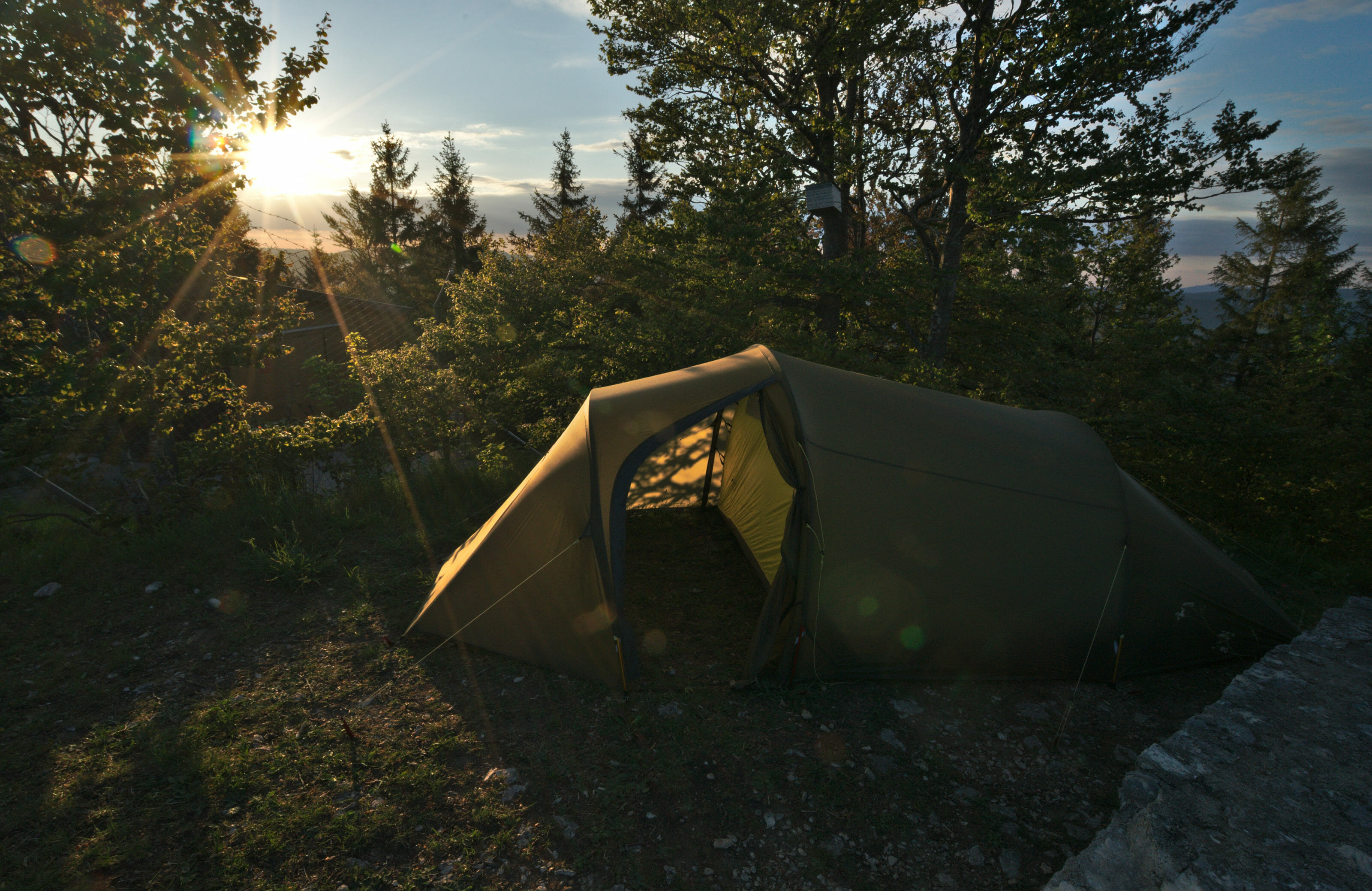
Why don't we share our exact bivouac locations?
You may have noticed it but in our articles and on our maps we stay approximate on the exact location of our tent. But why not give the GPS coordinates of our spots? Well for the good and simple reason that bivouac is not camping! We systematically asked the local farmers for permission to put our tent up when we were on the mountain pasture, we looked for the spots and moved if required. Bivouac must remain "a discipline" where the hiker must use common sense to choose his location according to the conditions of the moment and the encounters (and the herds) and not settle in a place "planned in advance". So don't be afraid to take your tent with you, you will always find a place to stay! And if you find the perfect spot, share it with your friends but don't publish it online... it would be a shame to see "no camping" signs blooming in dreamy places just because there has been some abuse!
This is probably the most "problematic" point on this route! On the ridges of the Jura there are hardly any rivers and villages are relatively rare. Nevertheless, even if this point requires a little logistical organization, it is still largely feasible!
Water:
We had five bottles with us. 3 "normal" 1.5L bottles as well as two Katadyn filter bottles with a capacity of one litre each (i.e. a total water capacity of 6.5 litres). We tried to locate the water points in advance (fountains indicated on Maps.Me, mountain pastures, restaurants) then, at each water point we filled according to our needs (we did not necessarily fill everything). We didn't have any worries but on the other hand, for certain stages (in particular those where we planned to bivouac) we sometimes had to carry more than 6L of water.
We very regularly took a break in the mountain pastures for a piece of pie or a coffee and we took advantage of the opportunity to fill the water bottles. In the villages there are regularly fountains, but it is better to have filtering bottles because the water from the fountains is not necessarily drinkable.
Fountain water in Switzerland
In fact, many fountains in Switzerland indicate "non-drinking water". This inscription does not mean that the flowing water is dangerous to your health, but it is a mandatory mention if the water is not controlled. In absolute terms, these "non-drinking" waters are perfectly clear, although we would still recommend drinking them from a filter bottle to be 100% sure that it is good.
Supplies
There are 6 villages on the route where there are supermarkets. Unfortunately, their distribution is rather uneven.
In these villages there are "real" supermarkets with a classic offer. As you can see, between kilometer 81 and kilometer 214 it's a bit "empty".
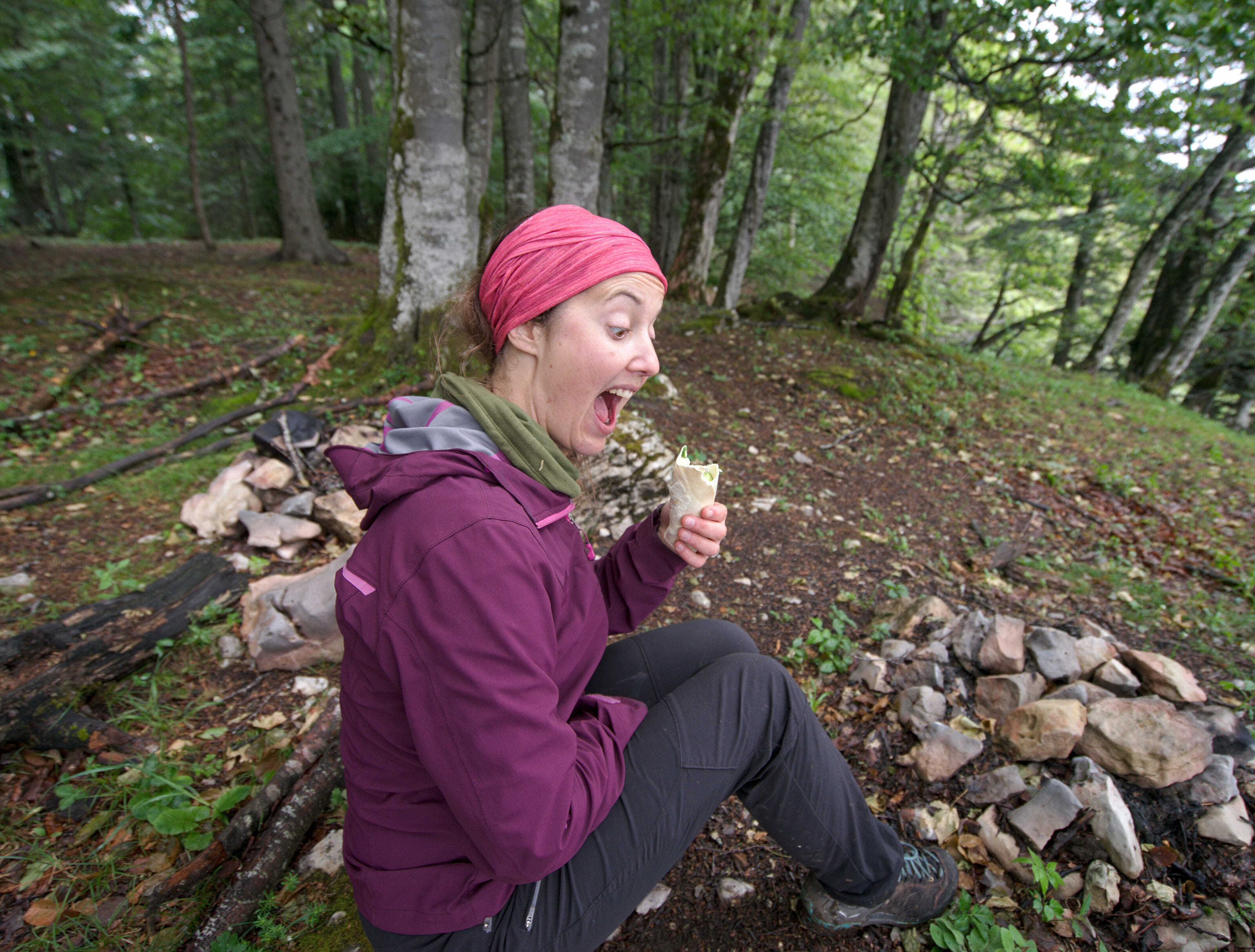
It was impossible for us to transport the equivalent of 7 days' worth of meals! But don't worry, even then there are solutions! At kilometer 124 we reach Frinvillie, it is very easy to reach the city of Biel, which offers all possible supermarket options. You can get there by bus, train or on foot by following the Taubenloch gorge (a very nice route we did on the way down and we recommend it!).
In Noiraigue (kilometre 182) there is no supermarket, but the small shop "Goût et Région" at the train station has a really nice offer. There is bread, cheese, meat and local pastries and biscuits. The big positive point of this small shop is that between May and October it is open 7/7 between 9am and 6pm!
For the other supermarkets you should of course take care not to arrive in the villages on a Sunday or a public holiday (we'll let you guess who arrived in Biel on Whit Monday ;) Luckily the Coop at the train station remains open even on public holidays).
A special budget article will be shared soon and it will give you more details. But in the meantime, here is a small summary of our expenses.
As a reminder, our crossing of the Jura crests took 16 and a half days (14.5 days of walking and 2 days of rest). As far as our accommodations are concerned, we did not have a camping option (few campsites on the route and they were still closed anyway because of the coronavirus).
Result?
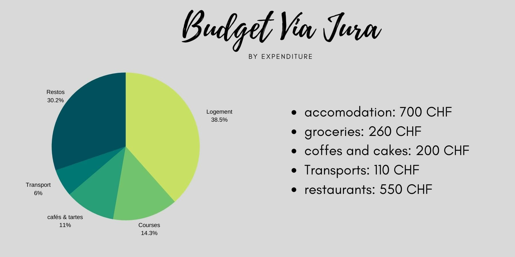
Accommodation details (700 CHF for 2 persons)
In total, the almost 17 days cost us 1820 CHF for 2 people. That's a total of about CHF 50 per day and per person. Clearly, we did not particularly seek to restrict ourselves (neither on the restaurants nor the accommodations). Without going for luxury options, we regularly took the opportunity to warm up or dry ourselves a little when the weather became complicated (mainly during the 10 days of rain we got in the end ;) ).
For this hike we decided to leave with our 2 computers (to work a little on the days off). So we tried to really limit the weight of our bag by taking only the bare minimum from a clothing point of view. #MustMakeChoices
But if you want more details about the gear we take with us on multi day hikes, we have a full blog post about this topic.
Our hiking backpacks
 For this hike we had the pleasure to test 2 bags of the brand Osprey. Benoit tested the Aether 70 while I had the Kyte 66. Compared to our old bags, these are 1kg lighter!!!! Both Benoit's bag and mine weigh only 1.7 kg when empty.
For us it made a real difference and we come back totally enchanted by these new bags!
Our camping gear
No change there. We still have our Hellsport brand tent, Thermarest mattresses and Valandré sleeping bags with 0°C comfort temperature. We still have our classics: Decathlon pots, the MSR stove.
Our clothes
Very little change here, too. For our 2 weeks we each left with: 1 pair of hiking pants, 2 T-shirts, 1 sweater, 2 pairs of socks, 2 underwear. In addition we had another "pair of pants" for the evening. Fabienne had taken leggings and Benoit a swimsuit (also useful to avoid being in underpants when washing trousers) ;)
We also each had our warm down jackets (women version and man's version) as well as our rain jackets, a light hat.
We didn't take small gloves but we regretted it a little because some days, with the rain and the cold wind, our hands were very cold.
Hiking gear
We left with hiking boots on. Benoit opted for his Meindl with low stem while I took back my Salewa bought for the Via Alpina. Benoit was happy with his choice, even though the high shoes could have been useful with the weight of the bag.
For my part, I still have a mixed opinion of these Salewas. Very comfortable and with a good support they are the dream shoes in dry or slightly wet weather. On the other hand, in case of heavy rain or if the path is wet, my feet quickly get wet... Big disappointment that could be the end of my love for these shoes.
Otherwise we obviously had our hiking poles. A really essential complement when you have heavy loads on your back if you ask me!
Various
We've had Lifestraw for three years. We were overall happy but with the small leaks being increasingly important, we wanted to test something else. The day before we left we bought 2 BeFree bottles from Katadyn. We really liked the texture of the bottles and their weight. On the other hand, one of our 2 bottles quickly became a little bit clogged in the filter... ( It is still usable, but you have to suck much more to get water flowing). Otherwise, in addition we had 3 1.5L bottles from Decathlon (these).
Otherwise we also had a lighter, our Swiss Army knife, a notebook and a pen as well as a tiny first aid kit (some bandages, painkillers and anti-allergic).
Electronics
No change here, either. We left with our Macbook Pro, the Lenovo X1 Carbon, our Sony a7ii camera, a 16-35 lens and a 70-200 lens, a tripod, external batteries, our solar panel, an osmo pocket.
To attach the camera to the bag we always use the Peak Design clips.
Total weight of our bags on the hike: between 13 and 16kg for Fabienne and between 15 and 20kg for Benoit (the variation coming from the number of litres of water and food stocks).

0
On the route of the Jura crest trail we passed the Marchairuz pass, the Mont tendre and the summit of the Dôle. All of them offer a magnificent panorama of Lake Geneva.
0
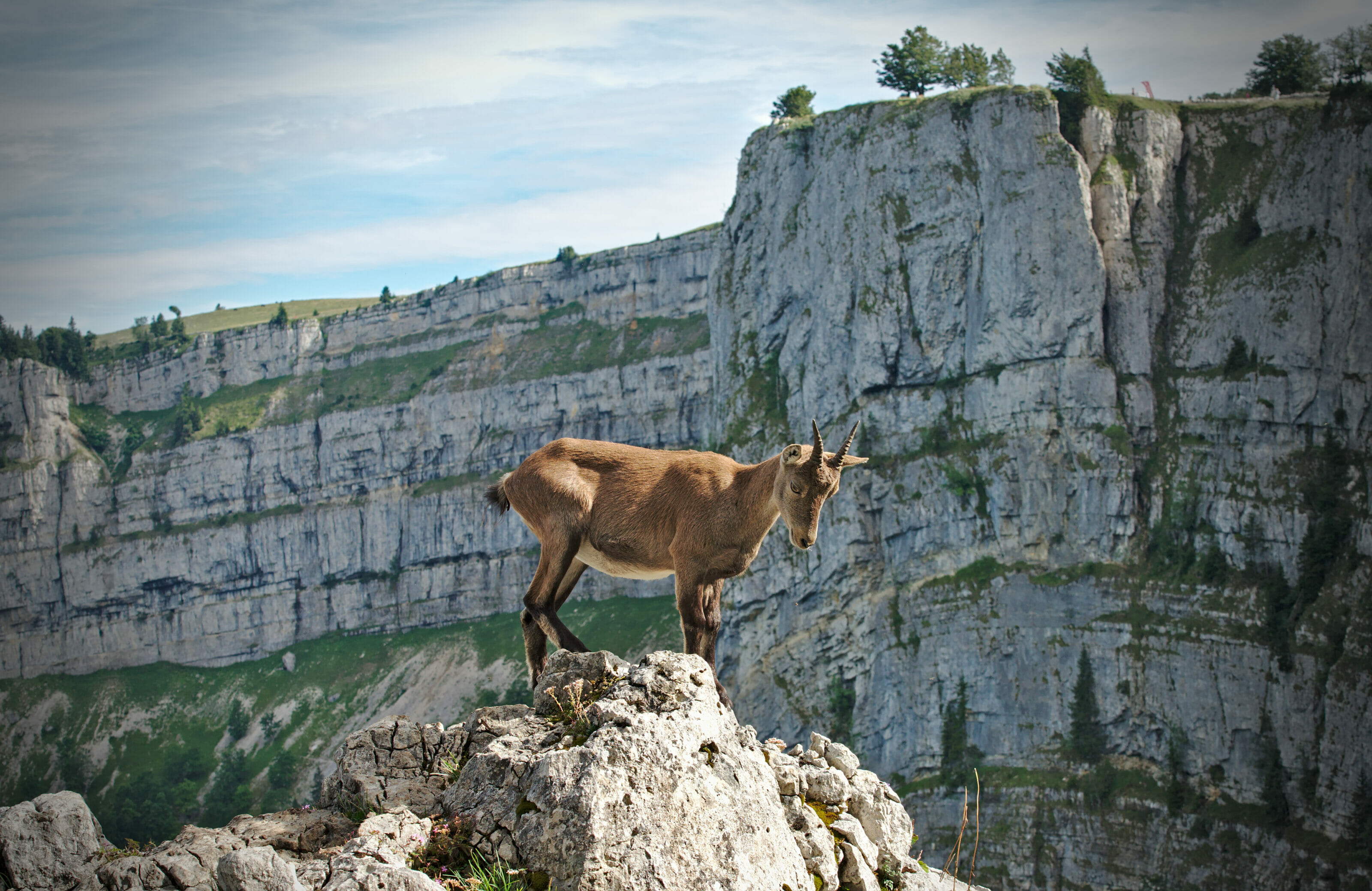
We take you with us on the magnificent rocky formations of Creux du Van, one of the most beautiful places on the swiss Jura crest trail.

0
A trip in French-speaking Switzerland for a hike between Frinvillier and the Vue ees Alpes pass via the Chasseral and the Taubenloch gorges.

13
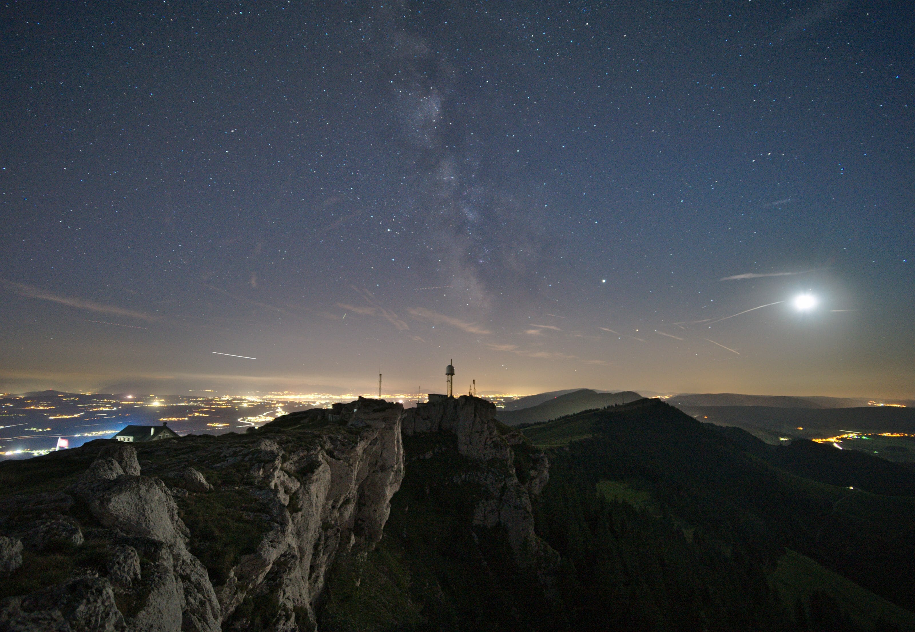
In the spring of 2020 we decided to discover the paths of the Jura crest trail by following National Route 5 from Dielsdorf to Nyon. In this post we share the motivations that pushed us to leave in this journey
0
Looking for ideas for a hike in the canton of Vaud? we offer you 2 magnificent itineraries to do with your family (with maps and details)
0
A perfect day in French-speaking Switzerland: the Gorges de l'Orbe, the caves and an evening at la dent de Vaulion. Hiking map and practical information
