A new blog post to tell you a little more about our latest adventure in Tenerife: a 4-day tour in Anaga with our tent on our back. You will see it in this article, but our plan was not very specific… The hike was sometimes a little wet, sometimes chaotic but overall I would also simply say: super beautiful! 🙂
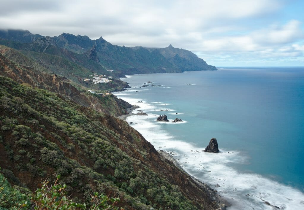
I suggest that we take you for our itinerary day by day in the form of a story with practical information for the stage and possible alternatives. But before we move on to the more detailed story, let’s start with a brief summary of our hike.
Hiking in Anaga: General information and map
Infos
- When? We did this hike at the end of January 2019. However, this tour can be done throughout the year.
- Distance 47,5km
- Deniv + 2570m
- Deniv – 2570m
- Duration 4 days
- Difficulty quite difficult
The map of the hike with the route we actually followed:
Note: there are several alternatives to extend the hike a little bit. We talk about it in more detail in the explanations day by day;)
Cruz del Carmen to el Chorro (Day 1 in Anaga)
We left La Orotava (where we are settled) at around 9am under a bright sun. We were thus highly motivated and enthusiastic. But as we drove we could see that the weather was getting worse every kilometre…. Of course, when we arrived at the parking lot of Cruz del Carmen in Anaga it was raining, the wind was blowing hard and the thermometer was barely 10°C. Ouch!
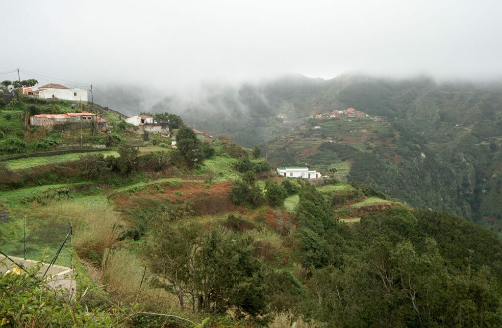
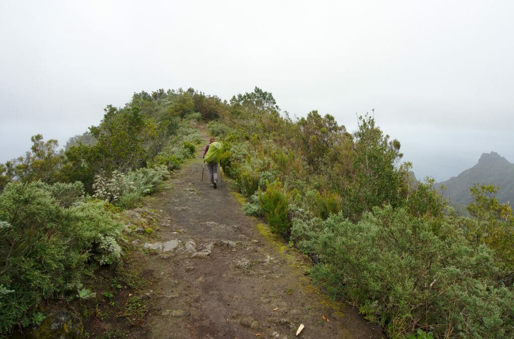
But well, we were clearly not going to let ourselves be discouraged by a few drops (OK… in reality, I must admit I really wanted to stay in the car with the heater on, but Benoit was giving me the big eyes).
The first part to the village of Taborno is really very pleasant because it takes place mainly in the forest (it allowed us to stay relatively dry under the trees). Once in the village we took advantage of a shelter in front of the church to picnic before going for the “big dive”.
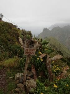
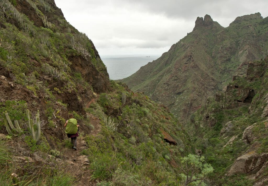
When we were preparing our hike we had planned our itinerary based on the paths indicated on the topo maps…. so certainly we had indeed seen that we were “losing” 620m of altitude in not even 2km, but I think we hadn’t totally measured what that meant. hahahaha
In a nutshell, once at the top of the path, a small panel set the tone… Not worried at all, we started going down. So I reassure you right away, the trail is totally ok and it is without major difficulty that we arrived at the bottom. But I have to say that the next day our muscles were pretty sore from this steep descent with our big backpacks on our backs. 😉
Once at sea level we passed by a natural swimming pool that clearly invites you to swim (well, we imagine that this is the case for days when it is not 12° with mist as it was during our visit);)
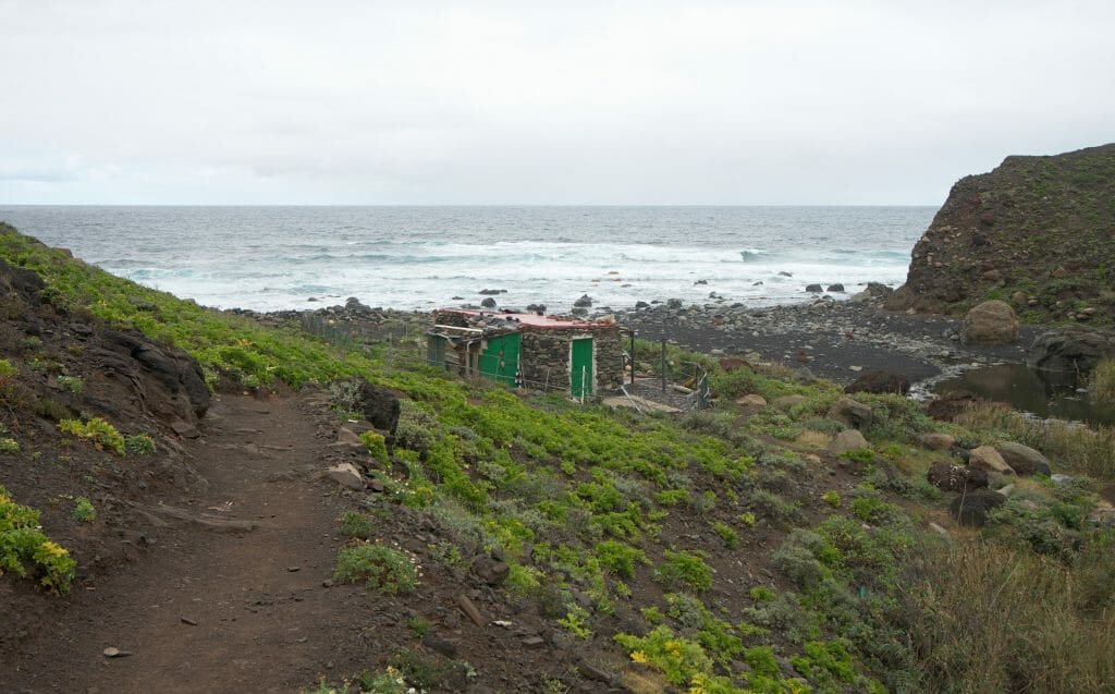
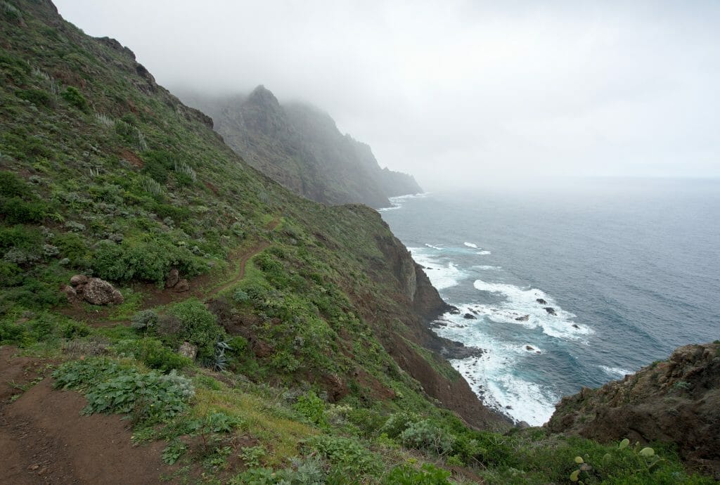
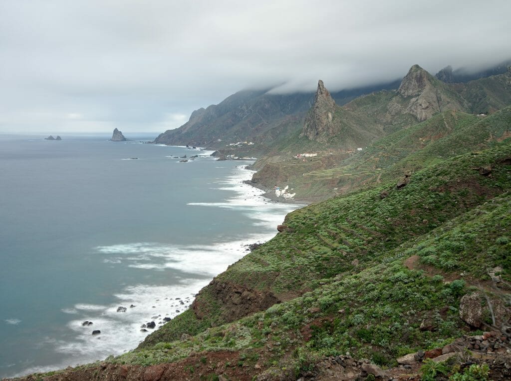
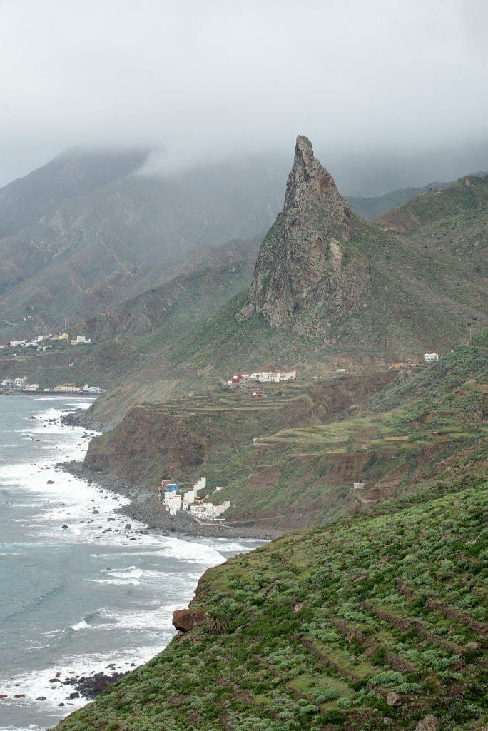
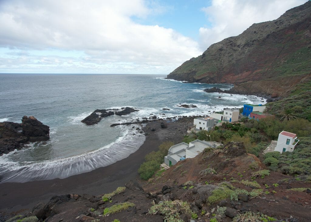
Where the small stream flows into the sea, there is a small house that seems abandoned and a pretty beach. The area is idyllic and lends itself well enough for bivouacs. 😉 But well, we still had a lot of kilometers ahead of us and especially it was barely 2pm when we arrived here… so we just went to the beach for some pictures and came back to continue our journey towards Taganana. The path along the coast is absolutely SPLENDID! Despite the weather beeing still quite “humid” we were amazed!
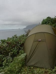
Shortly before arriving at the small hamlet of “El Chorro” we found a small spot a little isolated by the roadside to pitch our tent. I mean when I say “little spot” it’s really the case, isn’t it? Once the tent was erected, there was not even 5cm left on the sides to enter and leave the tent without landing in the brambles… Not very practical for night-time peeing outings, but it was clearly our only flat spot option in this very steep area.
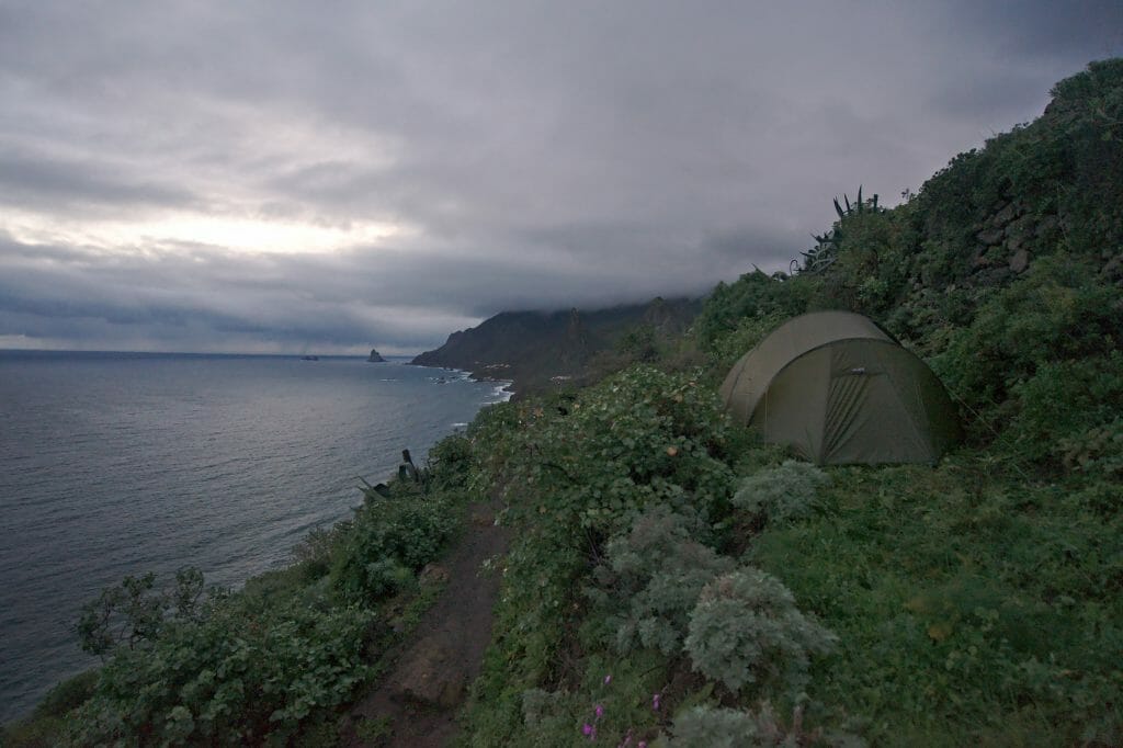
It had been a few months since we had walked around with all our stuff on our backs and we were totally out of order at mealtime. That evening we didn’t even ask ourselves 10,000 questions…. The night had barely fallen (around 7:30 pm) when we were already in our sleeping bag ready to fall asleep.
Day 1
- Distance: about 10km
- Elevation change: 282m positiv and 1070m negativ
- Duration: Count 5 good hours
- Highlight: Natural swimming pool at Charco de la Pasada, the coastal path towards Taganana
- Alternative: If the very steep descent does not motivate you more than that, know that it is possible to turn off on Afur just before arriving in Taborno. This path is a little longer but the slope is softer. The two routes meet at the natural swimming pool “Charco de la Pasada”.
- Water: No or very little water on the way. There is a small grocery store in Taborno.
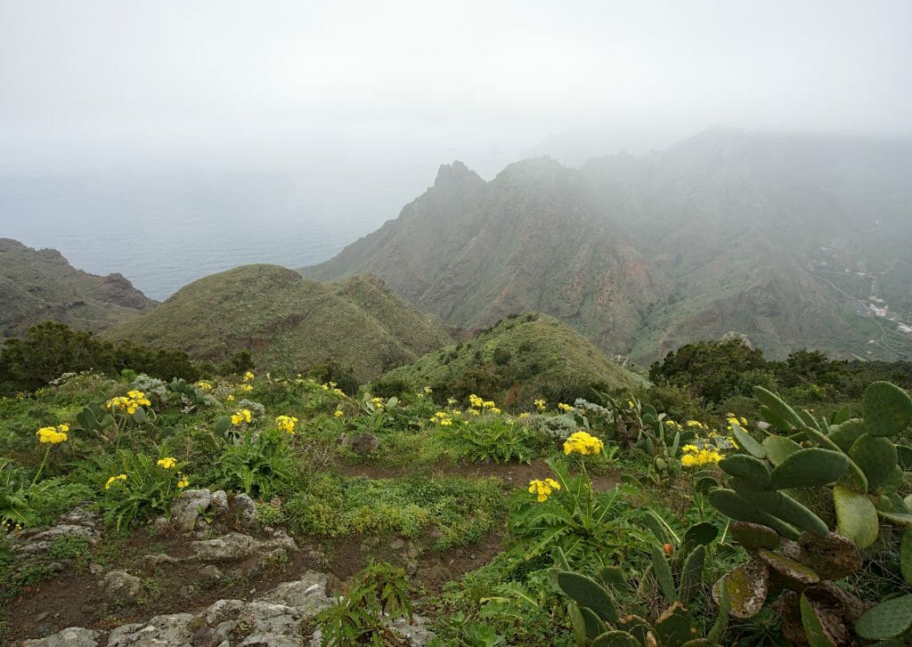
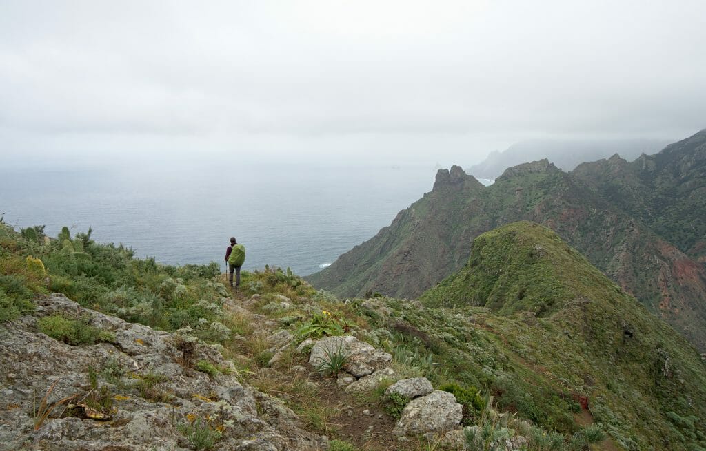
More pictures of this stage
El Chorro to Roque Bermejo (Day 2)
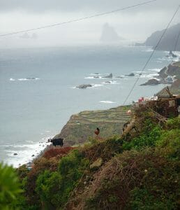
After a good first night in the tent we woke up at dawn. After tidying the tent we swallowed some cookies in a hurry and got back on the road. After only a few minutes we reached the small hamlet of “El Chorro” where some Bodegas are still active and still produce some bottles of wine “Made in Anaga”. Then we won’t be able to tell you how the wine is because given the number of vines, the production of the area must barely be enough for the owners’ personal consumption…;)
Quite quickly we arrived at the small village of Taganana. With its 500 inhabitants, it is the “most inhabited” place in Anaga. It is not quite a big city, but there is still a small grocery store, a pharmacy and a small café where we obviously stopped for a good morning coffee on the terrace.
From Taganana our “initial plan” was to climb up to Roque Amogoje and then down to Benijo. We had planned this route because we didn’t really want to end up following the road for several kilometres. So… call it acute flemmingite or common sense, but when we found ourselves facing the 300m ascent and knowing what we had to walk after, suddenly the prospect of following the road immediately seemed more attractive to us.
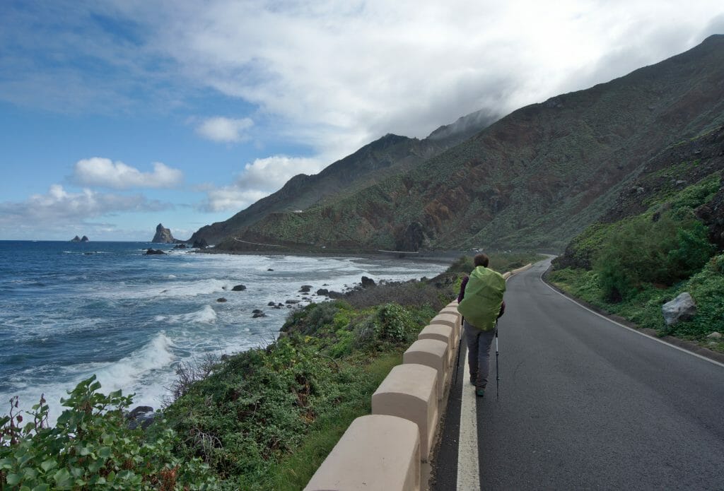
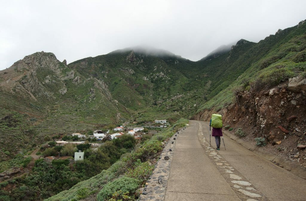
So I grant you that when hiking we try as much as possible to avoid the roads. But this one seriously, it’s really not a drama! No or very little traffic in the morning and a simply incredible view all along, make this section a stretch that is frankly pleasant.
Once in Benijo we continued on the track towards “El Draguillo” then we continued on the coastal path to the tiny little hamlet of Roque Bermejo which is lost at the tip of Anaga and which is only accessible on foot or by boat!
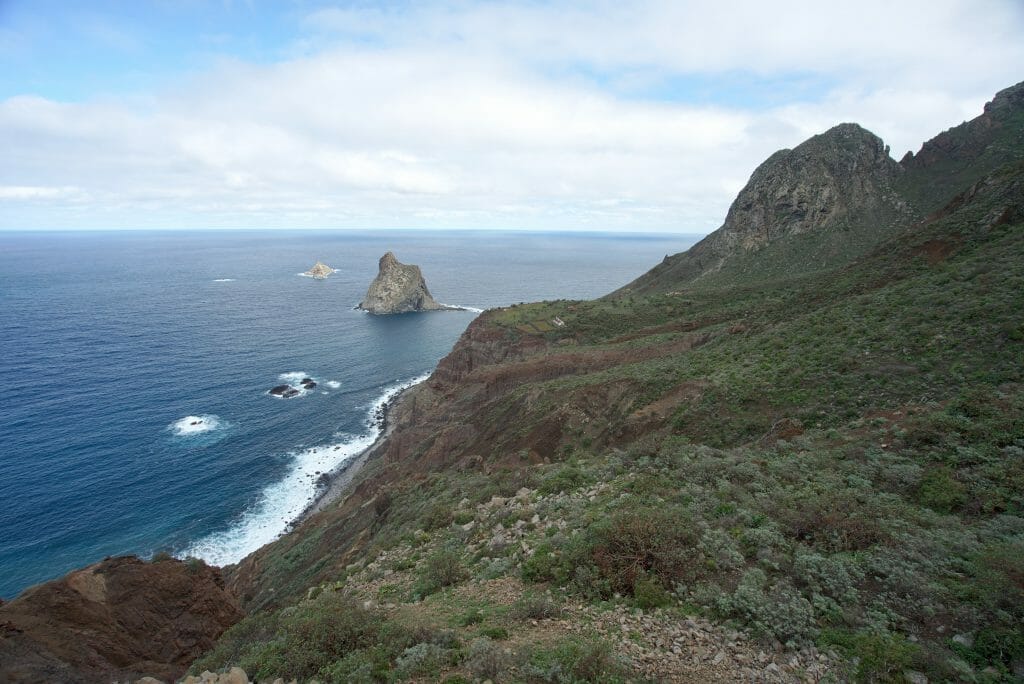
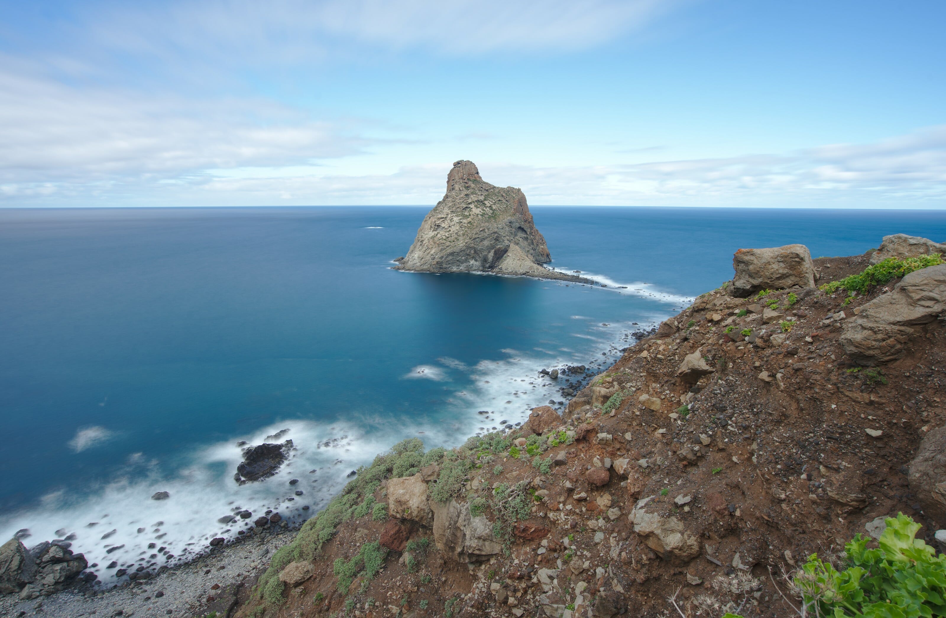
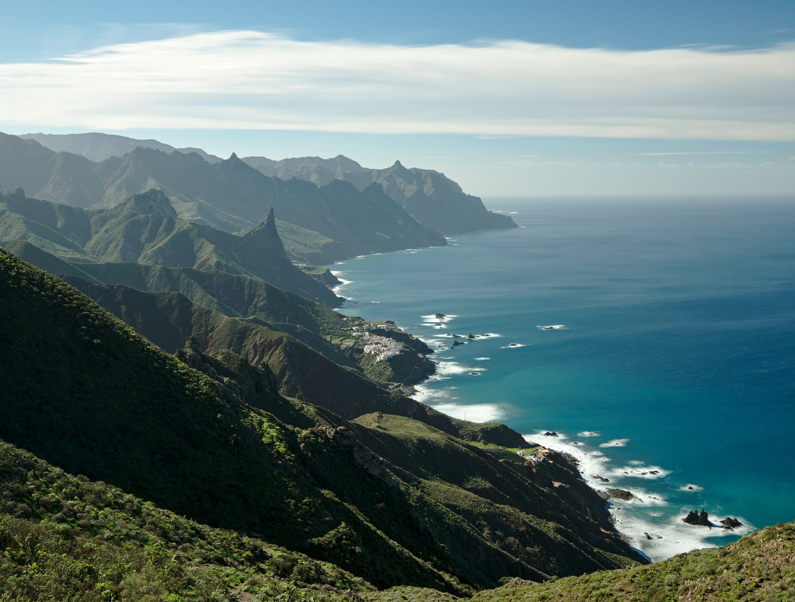
The path has just been rebuilt and it’s just an absolute pleasure to walk along this coast! Judge for yourself:
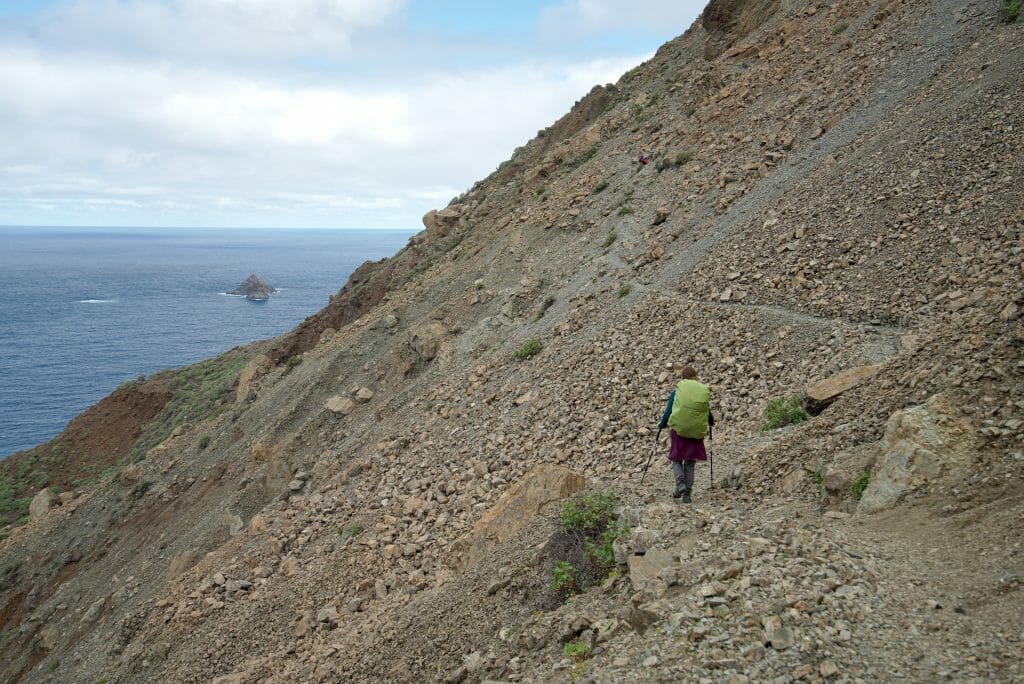
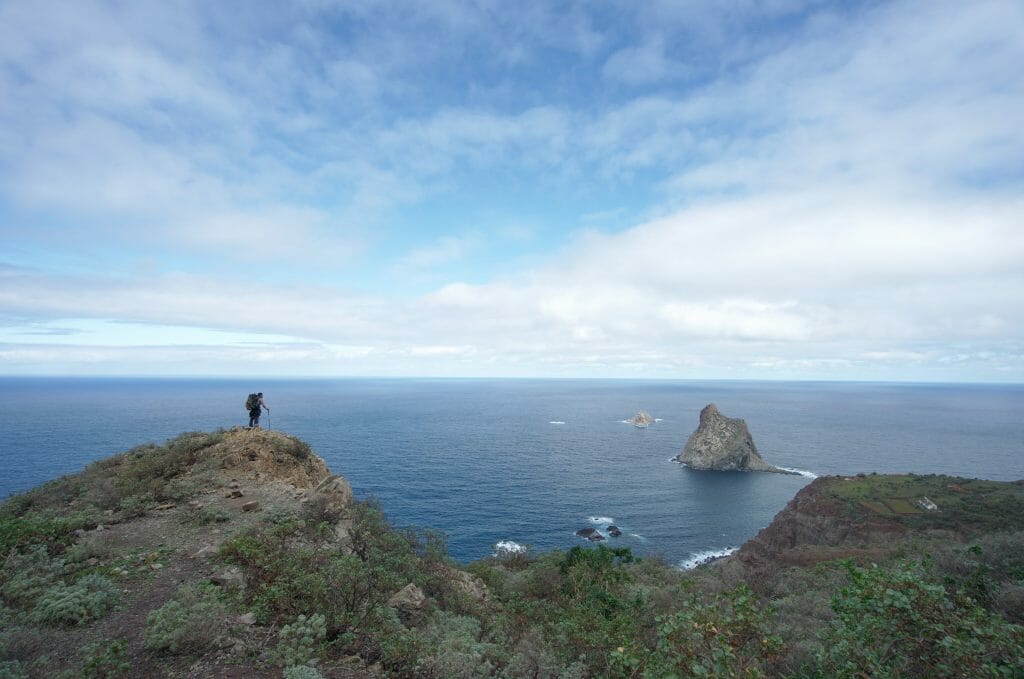
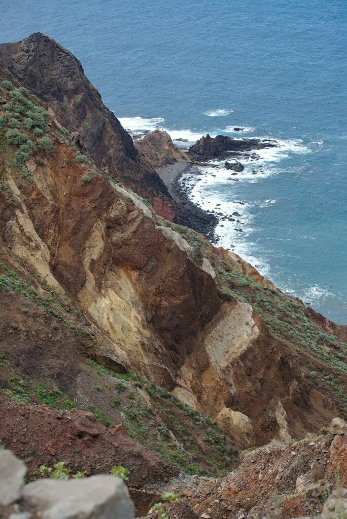
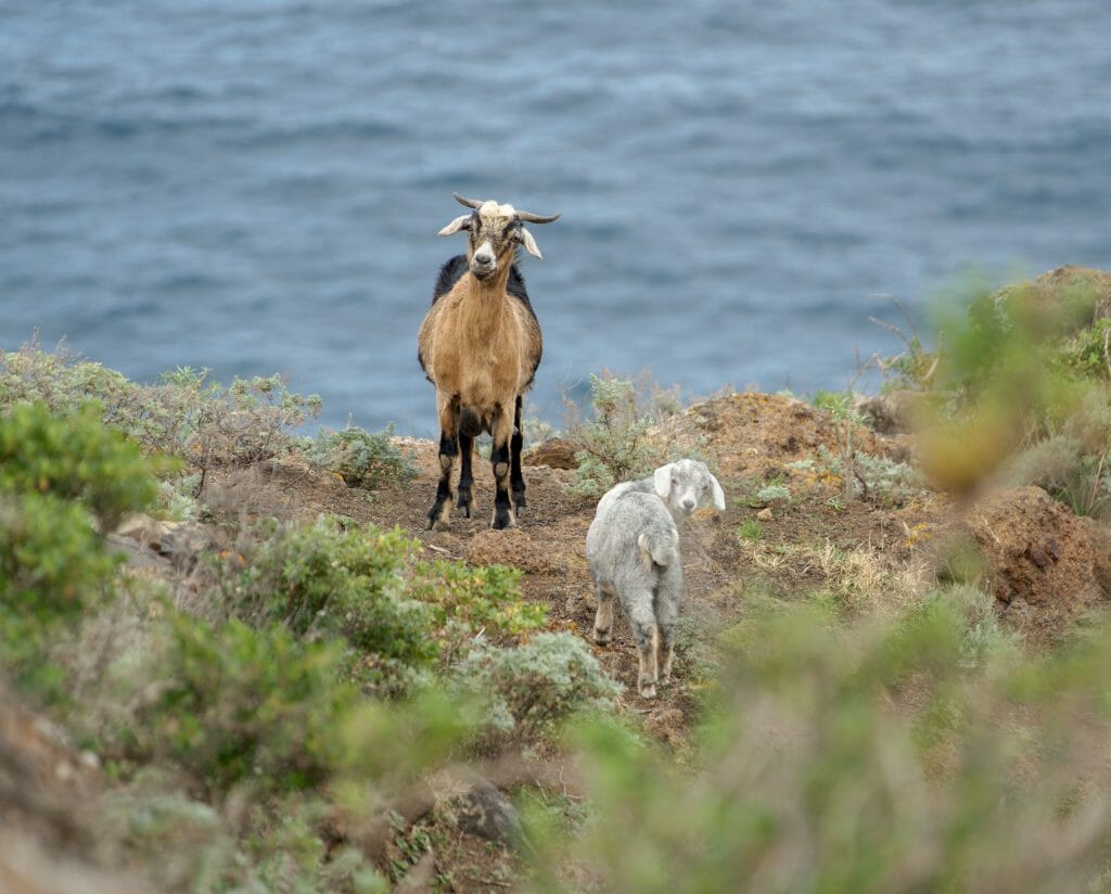
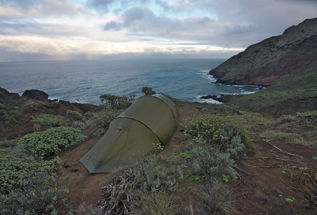
Once we got to the lighthouse, we decided to go for the first small flat spot we found to set up our tent. We had a stunning view on the sea and the small hamlet below. Then I wouldn’t hide from you that strategically speaking there is better a better spot than right next to a lighthouse to bivouac… the light that turns all night and sweeps the tent every 6 seconds is quite annoying. 😉
Day 2
- Distance: about 17km
- Elevation: 804m + and 793m –
- Duration: about 6 to 7 hours
- Alternative: If, unlike us, you are brave in the face of the difference in altitude, then you can climb up towards Roque Amogoje and then descend to Almaciga. This will allow you to avoid the section along the road…. But this adds a few kilometers and especially a good 300m of additional positive and negative altitude difference
- Eau: Possible to fill the bottles in the centre of the village of Taganana (public taps). A water point is located in the cliff about 1.5km before the lighthouse.
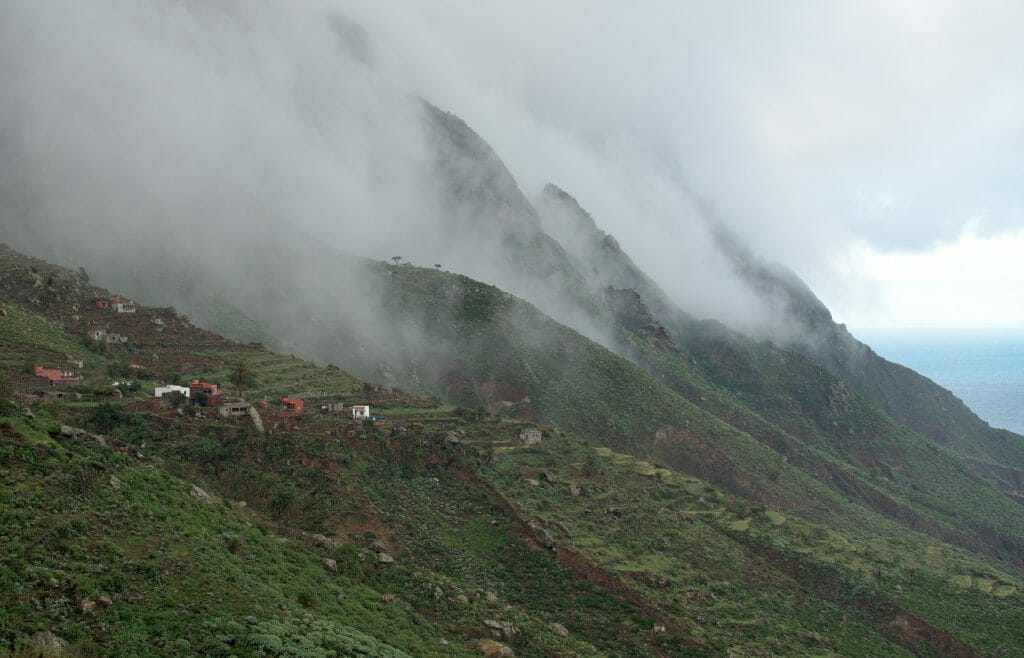
More pictures from this day:
De Roque Bermejo to El Bailadero (Day 3)
This third morning we woke up in a thick mist and it is with a rather relative motivation that we started our shike of the day…. This third day was probably the one Benoit was the most excited about during this hike because once you get to the casas de Tafalda the trail follows the ridge and apparently the views are simply breathtaking on this stretch.
So we looked carefully I promise, but we didn’t quite find the view during the climb….
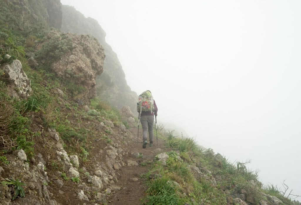
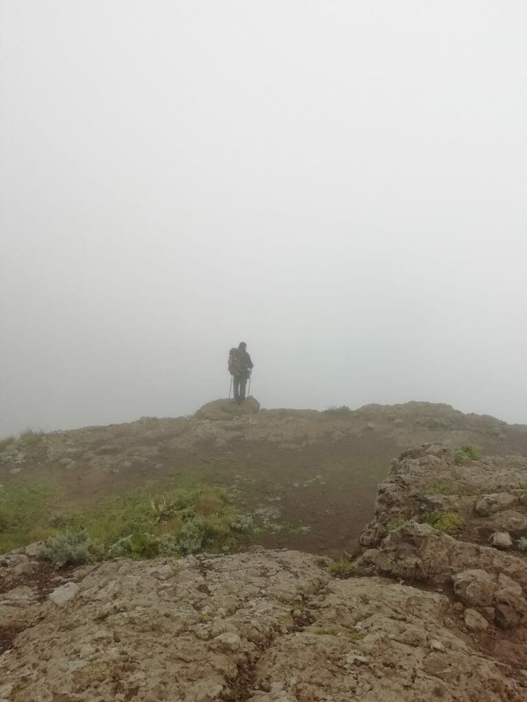
However, we did notice some nice bivouac spots just before the end of the first climb of 700m (even if these spots should be avoided on windy days because they are very exposed).
Once at the casas de Tafalda we continued our way to the Cruz del Draguillo.
The vast majority of the viewpoints on the way did not really give us the expected view, even though one of them let us guess the Roque de las Bodegas for a few seconds;)
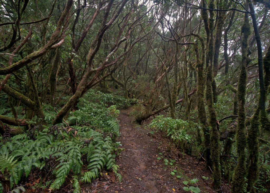
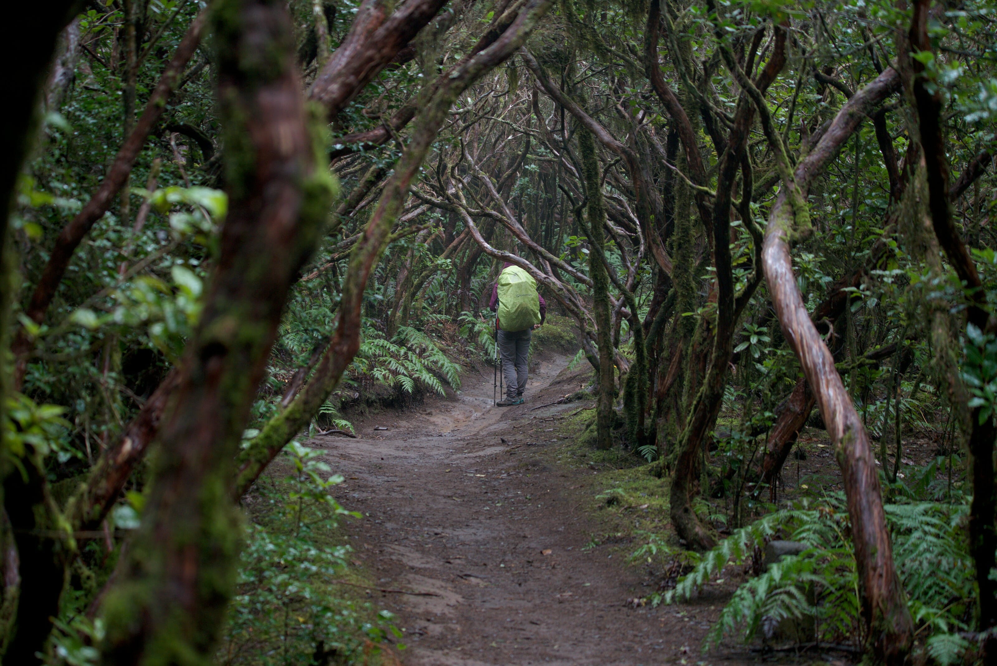
Shortly after the Cruz del Draguillo we arrived at a large platform (still without a view). Naively enough, we thought it was strange that such a platform was built here, a little in the middle of nothing… No sign, no particular indication… in short, we didn’t pay any attention and we continued on the ridge path. After a few minutes we found ourselves immersed in a totally crazy forest! Moss everywhere, a mystical and magical atmosphere. Without thinking too much, we lsaid “Pfiouuuu, it looks like an enchanted forest!”
So at that time we had no idea that we were actually in the protected area called “Bosque Encantado” (which means enchanted forest… don’t thank me;))
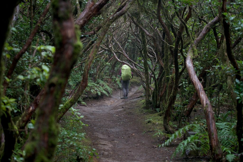
Bosque Encantado is also known as the “Reserva Integral de Pijaral” and its access is restricted to 45 people per day. To get there you normally need to apply for a permit (free of charge). There is no official control anywhere, but apparently if you come without a permit you are liable to a fine of 601.1€ (yes yes they are precise with pennies).
It would be difficult to tell you what would have happened if we had been controlled, but from where we arrived there was never a single sign prohibiting access or even signaling entry into this highly protected area. If we had known we probably would have tried to get a permit, but here we were officially naive free-riders….
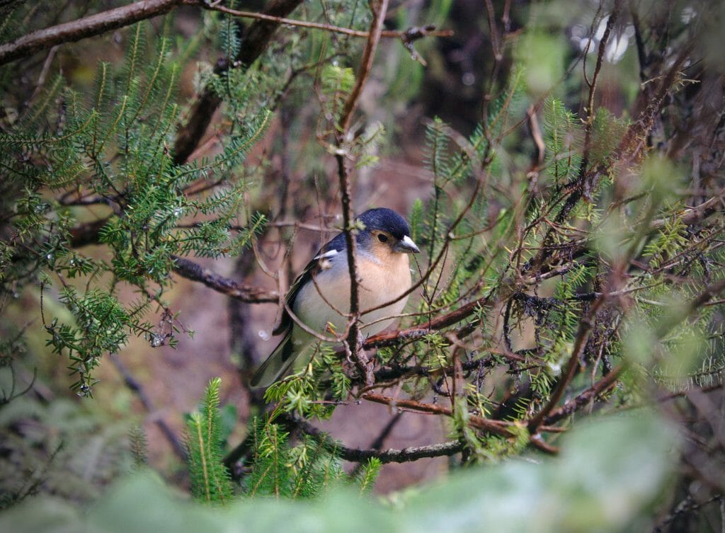
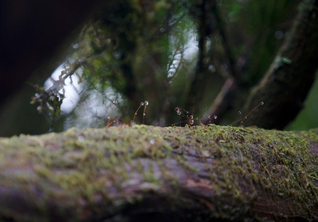
Then I have to say that on that day there was probably little chance that a guard would want to come and check the permits… We were still in a thick fog and about halfway through the hike the rain invited itself to the party.
Once we got back to the main road that’s when things started to go wrong for us. Not wanting to follow the road for too long, we started again on a small path indicated on the topo maps but not marked by the park. This idea was simply STUPID! The trail was not maintained at all and we found ourselves walking for 40 minutes in tall grass that reached our chests. Since it was raining, these grass leafes were naturally soaked. When we reached the road again we clearly looked like 2 wet and desperate dogs. Benoit had come to the conclusion that we would stop the massacre and try to hitch a ride back to the car.
Personally I was really determined to finish this hike and above all I strongly believed that the weather would clear up. Normally, Benoit is the one is our couple who is always optimistic, but that day I took over!
Not being really motivated by the idea of bivouac while being soaked, I offered him a deal: “We walk to the little guesthouse, if they have 2 beds left in the dormitory we stay there. If it’s full we hitchhike.” DEAL
Karma, alignment of the stars or just big luck, there were exactly 2 beds left at the inn. At 15€ per night per person we didn’t have to be bothered (especially since the hostel has good showers with hot water… in our condition I would have been willing to pay just for the shower). 😉
Day 3
- Distance: 10km
- Elevation: 903m + and 320m –
- Duration: about 5 hours
- Highlight: The bosque encantado, the magical view from the ridge (if it’s not too foggy of course) 😉
- !Attention! As explained above, the bosque encantado is subject to a permit. When we didn’t arrive at the ridge we didn’t see a sign (only at the exit of the road) but we imagine that in case of control it could still be a problem. In short, if you want to make sure you are in compliance with the rules, we recommend that you take a permit (you must book your day 3-4 weeks in advance) on this site. The permit is free, but they only give 45 per day….
- Accomodation: Albergue Montes de Anaga, 19€ per night in the dormitory, 22€ including breakfast.
- Water: No or very little water on the way (well… we’ve seen a lot of it fall on us, but nothing that can be collected for drinking);)
More picture from this day:
De El Bailadero to Cruz del Carmen (Day 4)
This last day started off pretty badly…. I thought that sleeping in the inn would be more relaxing than the tent, but I had made a big mistake. Finally, in absolute terms, this could have been the case, but we had a roommate with a “night chainsaw” option. A lovely guy who was terribly sorry, but the result was unquestionable: he woke up around 6am and me? Well, I finally managed to sleep at 6:00…. Needless to say, the 7:30 a.m. wake-up call was severe!
Dormitories are always a lottery and people snore regularly, but I think we were not far from the top in terms of decibels:)
In short, it was totally exhausted when I arrived at breakfast. Nevertheless the big blue sky and the crazy view from the terrace (as well as 2-3 cafés) helped me to wake up a little and by 9 o’clock we set off for this last day.
On the program we knew there was a lot of road and we were a little apprehensive about this part. We wondered if it would be relevant to talk about this itinerary which includes nearly 7km along the main road of Anaga.
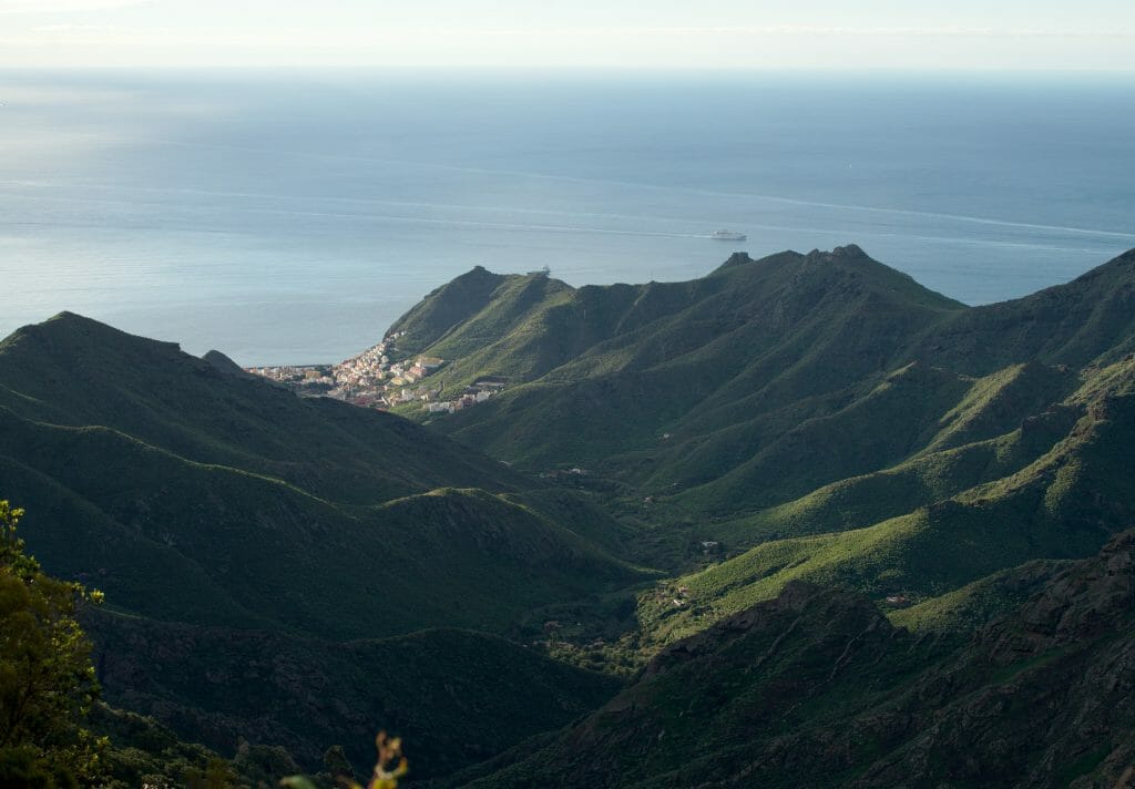
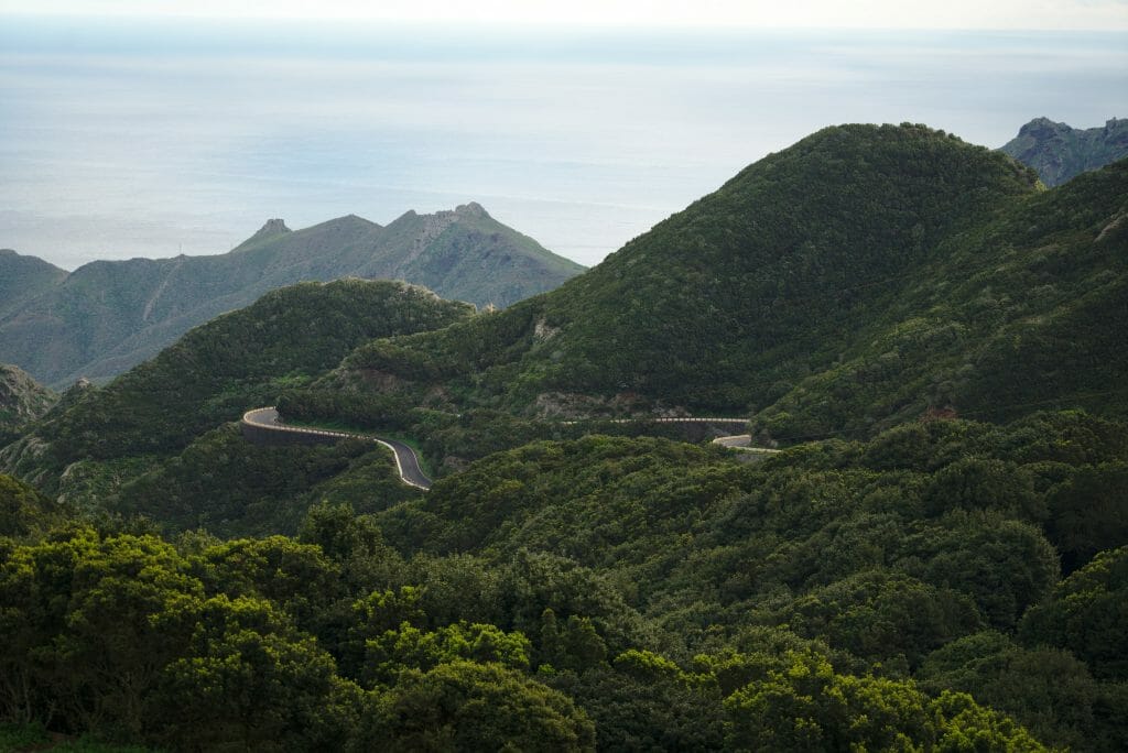
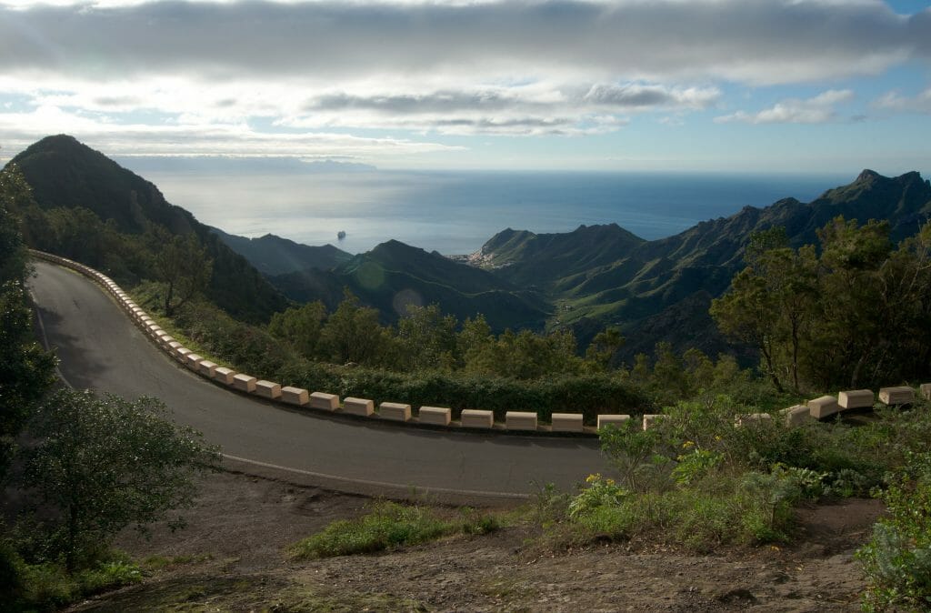
Well, you know what? We do not regret this day at all! In fact, we already knew the road well because we had driven it quite a bit. But at each of our visits we always regretted not being able to stop to take pictures. Indeed, the road is ultra narrow and it is simply impossible to park on the side to capture the crazy landscapes that pass before our eyes. In short, doing it on foot was the opportunity to take a few pictures and to be fair, leaving in the morning allows you to walk on the road without too much traffic!
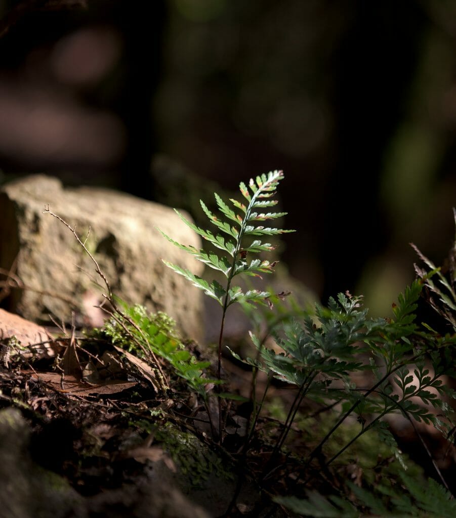
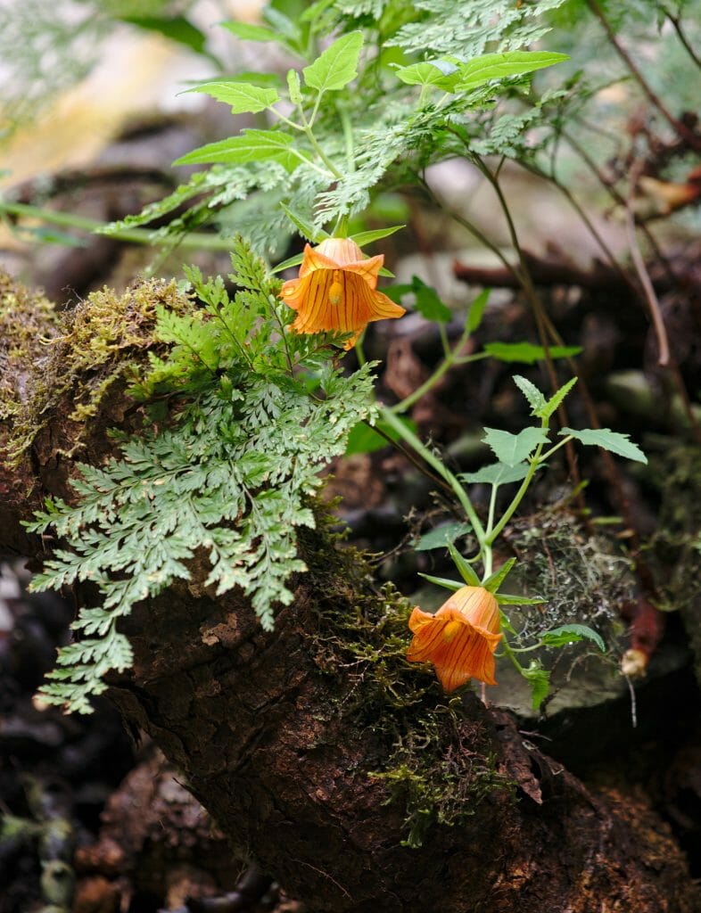
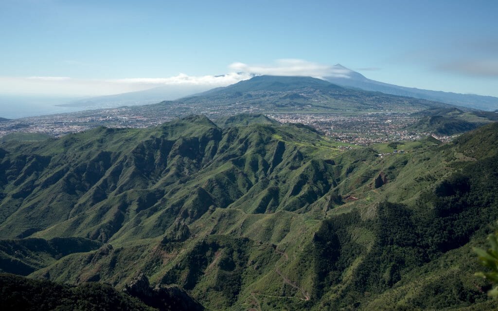
Then there was clearly more than just the road! We have excellent memories of the stretch in the forest that arrives at Cruz de Taganana. The few points of view along the way are very impressive and the vegetation is totally amazing! It’s not exactly the Bosque Encantado, but frankly we’re not far from it! The curiosity that impressed us the most?
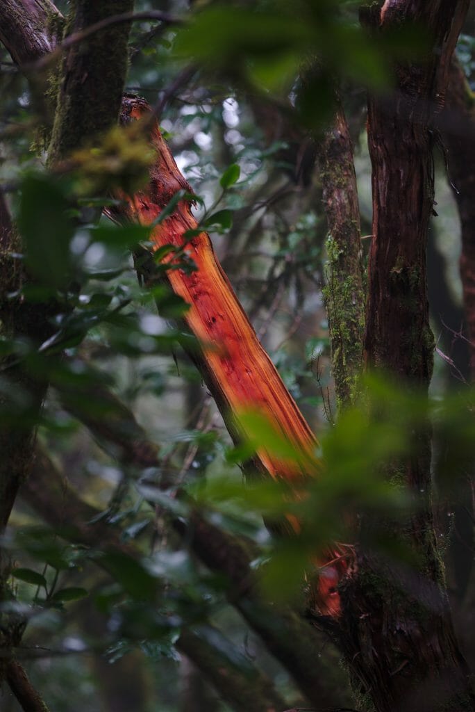
This uprooted tree where the trunk has been transformed into a kind of “base” for new trees. What should have been branches seems to have metamorphosed into new trees growing directly on the trunk.
Day 4
- Distance: 10,3km
- Elevation: 507m + and 262m –
- Duration: about 3 hours
- Highlights: the views from the road, the section before Cruz de Taganana and the arrival at Pico de los Ingles
- Water: We have not crossed any springs or rivers on this stretch.
More picture from this day:
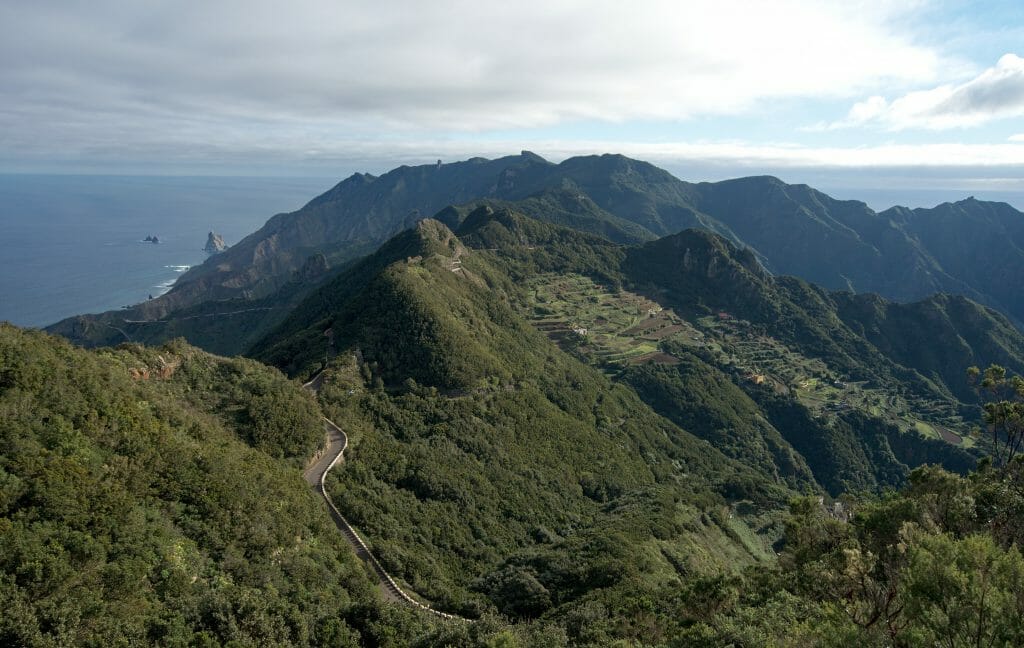
Equipment and food: what did we bring for this trek in Anaga?
For this trek we left with the minimum in terms of equipment! No computer, no gas burner, no meal. 🙂 So in our bags we had:
trekking and bivouac gear:
 Our tent for 3 people
- Our sleeping bags (with their comfort temperature of 0° they were obviously much too hot, but that’s all we had… so we slept with the bag wide open! At night the temperature drops to around 12°-13° in Anaga (in January, the coldest month).
- Our air matresses
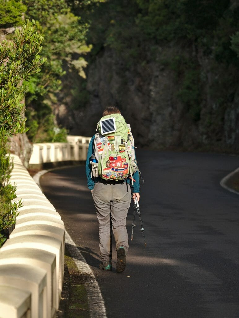
- An external battery to recharge the phones (I also had my small solar panel but it was largely useless during this trip)
- 1 spare T-shirt, underwear, a wind proof jacket and a warm jacket and sweater. In the end, the down jacket will have only served as a pillow because the temperatures did not justify putting them on;)
- A pair of hiking poles each (an essential one according to us if you are walking loaded and there is a difference in altitude)
- our faithful Swiss army knife
Food and drinks for this Anaga trip:
- We left with 7 litres of water at the start. We were afraid we would not find much water…. In the end, 2.5 litres per person would probably have been enough because we still manage to fill regularly in the villages. Note: water in villages is often “uncontrolled”. This does not mean that it is not drinkable, but simply that it is not tested. For our part, we always drank with our lifestraw and stored the rest of the water in large bottles, which were then used to fill the bottles.
- Cereal biscuits and bars for breakfasts and snacks
- Caramels (because hiking without caramels is a scandal)
- 2 Tupperwares with pasta that we had cooked in advance (we ate cold during the whole trip)
- 16 fajita wraps for lunch and dinner with 3 avocados, 2 cheeses, raw ham, tomatoes, mustard and hummus as garnish.
Anyway, you guessed it, it wasn’t really fine dining during this trip, but it wasn’t the idea… Having a lot of water we tried to pay attention to the weight of the rest. At the time of departure our bags weighed about 13kg (Fabienne) and 17kg (Benoit).
If you want more details about the gear we take on this kind of adventure, you can check out this detailed post.
Bivouac in Tenerife: the rules to respect
Tenerife is an island that is perfect for hiking (I would even say that it is a small paradise not too far away for winter). On the other hand, at the level of the bivouacs it is, as very often, a little complicated… Well, not so much once you know the rules, but you still have to find them. Before our trek we had done some online research and had come across everything and its opposite.
In the Teide park, bivouacs are strictly forbidden, but in Anaga there were diverging opinions. In short, rather than speculate unnecessarily, we went to ask the park rangers for more details during one of our day trips at the end of last year.
Verdict? Camping is strictly prohibited throughout Anaga, but bivouacs are tolerated everywhere outside the residential areas. Under bivouac it is necessary to understand the temporary establishment of a tent or a tarp for the sole purpose of spending the night. In short, we set up camp at sunset and pack up at the first light of day, taking care of course not to leave any trace of its passage. We do not make fire, we remain discreet and above all we do not forget to enjoy the landscapes! If you want to learn more about bivouac, you can read our complete guide here.
In this article you will have noticed that we have vaguely described the places where we slept and the areas that we consider suitable for bivouacs, but without ever giving the exact GPS coordinates. We made this decision because we really want the bivouac to remain a personal adventure and it is up to everyone to make their choice of sites using the weather constraints, those of the terrain but also their common sense. 😉 In short, there is no meanness in this approach, but only the desire to prevent certain spots from becoming “official camping places” and the authorities from deciding to put up signs prohibiting overnight stays.
Bivouac in Anaga: things to remember
- The terrain is (very) steep, so there are relatively few bivouac spots (there are some, but sometimes you have to leave the path and look for a flat spot)
- Our golden rule was always to have found a spot around 5-5:30 pm (the sun was down at 6:30 pm when we were doing the hike). In this spirit, we were on the lookout from 3:30 to 4:00 p.m. and we spotted potential spots along the way in order to always have options to “go back” in case we didn’t find anything at our deadline.
- Water is not very present on this trek, so remember to make reserves for the night!
We hope you have enjoyed reading this short story and if you plan to go hiking for several days in Anaga, all we can do is wish you a wonderful adventure! And if you have any questions, want to tell us what you thought of this article or have suggestions for alternative itineraries, feel free to leave us a short comment. We always like to read you (and answer you);)
Note: This article contains affiliate links to some of the products and services we also use. By using our link to make your purchase you obviously pay nothing more but we do receive a small commission.
 Our
Our 
Visiting Tenerife nearly every year since 1989 I know exectly what you describe, very nice to read. Anaga is the best, Teno too!
But lately you indeed need a permit for parts of Anaga/ el Pijaral. I do not understand how to obtain such a permit. Can you please give me some info???
Hi Maarten,
I think you have to book your spot on this page –> https://centralreservas.tenerife.es/actividad/1 . But unfortunately it’s booked months in advance. When I checked there was no free spot until November. They are probably booked by some local agencies that sell tours for tourists I guess
I just did this same itinerary inspired by your blog post, and it was one of the most amazing hikes I have done so far in my life. So thanks a lot!
One variant I applied was to go straight to Santa Cruz from Casa Santiago on the last day.
I felt like being in Jurassic Park, what a place!
Hi DimV,
So happy you found some inspiration on our blog to do the Anaga hike! It’s a really special place and hiking through it is definitely the best way to experience it’s magic 😉
If you set up a tent it is camping, not a bivouac… Wild camping is strictly prohibited here in Tenerife. The island is already at risk due to millions of tourists visiting every year
I Antonio… well I do not really agree with your definition of bivouac and we did write a detailed post about what bivouac is here –> https://www.novo-monde.com/en/backpacking-guide-bivouac-wild-camp/
Plus we did ask the rangers of the Anaga park if we could do it or not…
I do agree that it’s really important to be very careful and to protect the remaining natural areas in Tenerife… but I doubt the problems come from people setting up a bivouac in the evening and leaving early in the morning while doing a hike.
Hey both, thanks so much for putting this together. I completed the hike last week and thought I’d leave some notes for future hikers.
Day 1:
I’d STRONGLY recommend taking the route via Afur. The “drop” has now become very overgrown by thorny bushes. Combined with the steep descent this is the perfect recipe to slip and fall into a cactus. Trust me I’m speaking from experience.
Day 2:
The above described route between Las Palmas and Roque Bermejo is closed due to high risk of rockfall. Unfortunately, the closed signs are only set up when going from Roque Bermejo towards Las Palmas, but not when walking the other direction. I’d recommend to head towards Chamorga once reaching Las Palmas and then reunite with the above itinerary once you reach the ridge.
Also there are no water sources during day 2 once you get past El Draguilo. Make sure to bring an extra bottle.
Other than that, this is an excellent hike that I would highly recommend to others!
Thanks a lot for your feedbacks from the trail Nick! 🙂