Who knows why, both Fabienne and me had never seen the Aletsch glacier with our own eyes (In fact Fabienne must have seen it once when she was 5 years old 😉 )! We don’t live very far from it (less than 2 hours by car), but we always found other places to discover, other hikes to do…
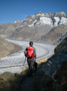
But during our roadtrip in the Graubünden in 2021, we took the Furka pass twice in the upper Valais… So on the way we passed in front of the gondolas that go up to Bettmeralp, with big advertising panels highlighting the Aletsch glacier ( how advertising works 😉 ).
That day, we told ourselves that the Aletsch glacier is really an emblematic natural site of the Wallis ( in fact of Switzerland in general) and that we would seize our next opportunity to finally see these spectacular landscapes with our own eyes.
And so in 2022, after having discovered the Bernese side of the Bernese Alps (yes I know it’s weird but it turns out that the Bernese Alps are also partly in Valais) passing by the lake of Oeschinen and the Lauterbrunnen valley, we ended this central Switzerland autumn roadtrip by coming back through the upper Valais. It was the perfect occasion to finally come and hike at the edge of the Aletsch glacier!
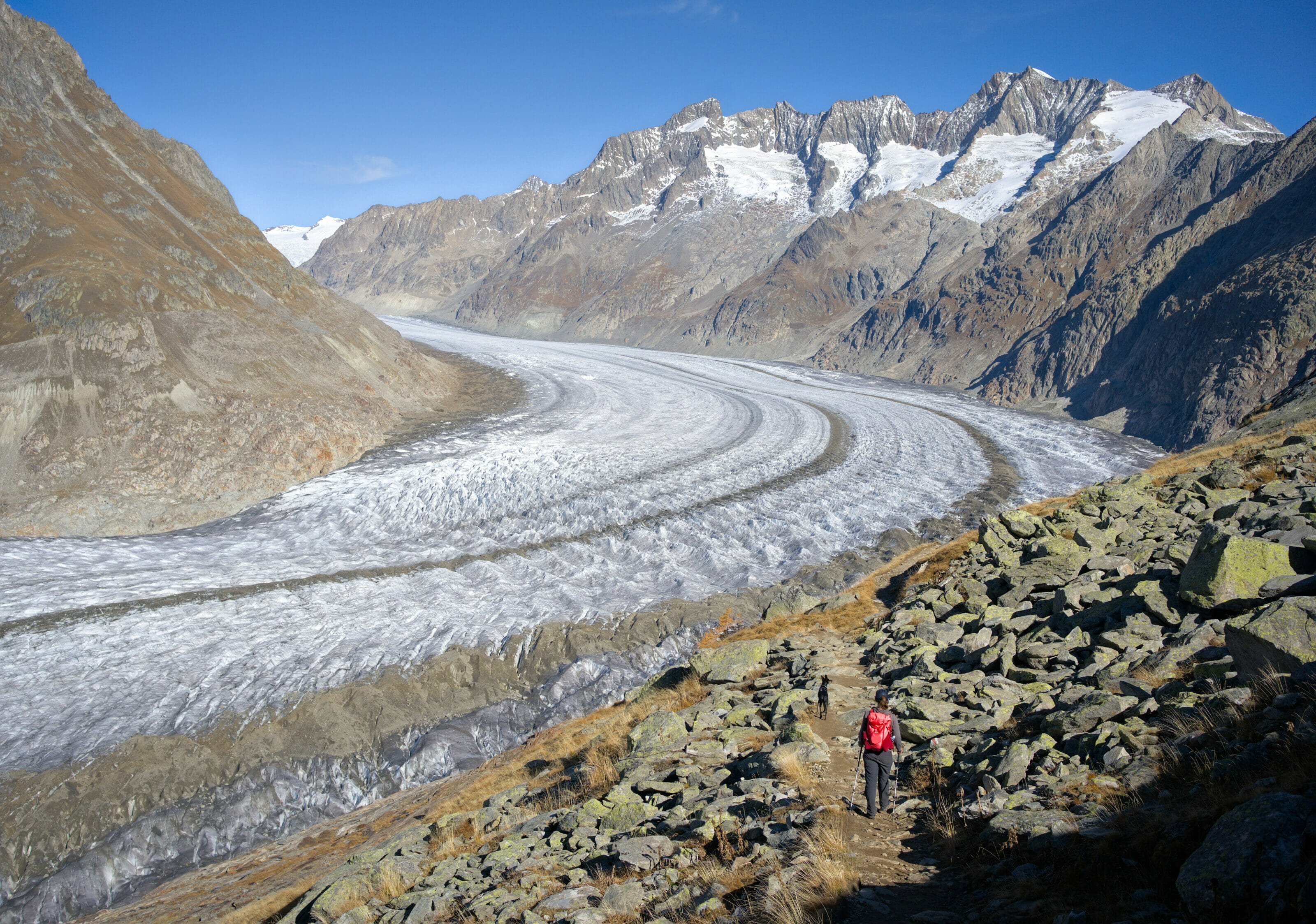
The great Aletsch glacier: the inexorable decline of the largest glacier in the Alps
How to talk about the Aletsch glacier without mentioning the inevitable melting of these ice giants, which has accelerated so much in the last 20 years (with a sad record this summer of 2022 where Swiss glaciers would have lost more than 6% of their volume in one year)… it is one of the most visible consequences of climate change!
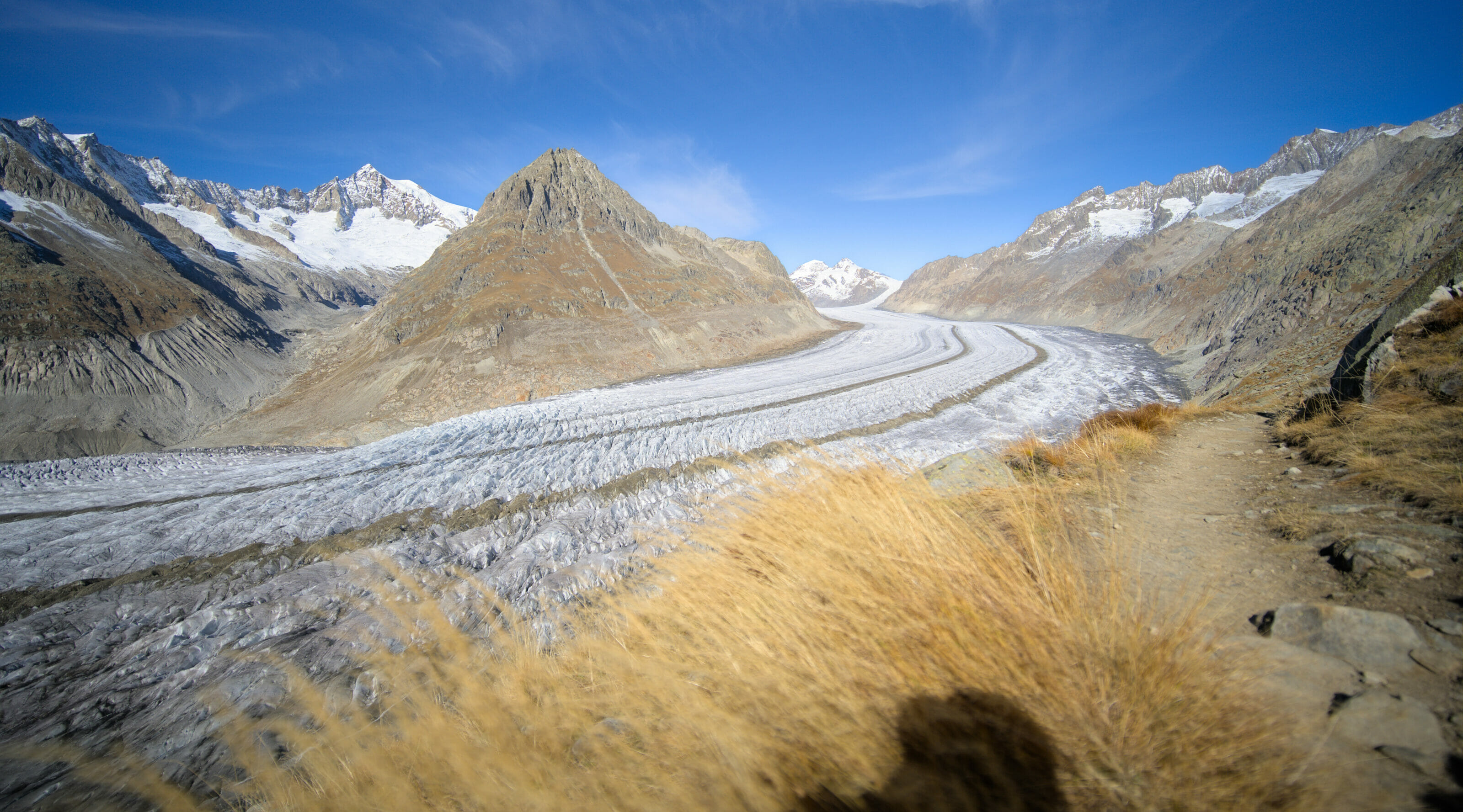
The Aletsch glacier is iconic for its huge glacier tongue (20kms) characterized by its 2 parallel bands of moraines that follow the glacier from the Konkordiaplatz (the meeting point of the 3 main glaciers just behind the mythical trio of the Bernese Alps: Eiger, Jungfrau and Mönch) to the end of its tongue. It almost looks like an ice highway that digs into the valley.
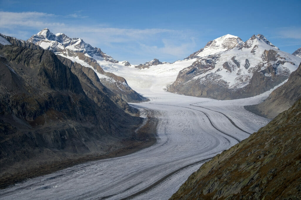
Well, if we continue on the current trajectory, the largest ice reservoir in the Alps (10 billion tons) will practically disappear by 2100. To give you an idea, at the Konkordiaplatz, the ice sheet is currently up to 8-900m thick! And all this ice could melt by 2100 as shown in these animations by ETH glaciologist Matthias Huss.
To save a small part of the alpine glaciers, we would really need to contain global warming to less than 2 degrees on average (as agreed in the Paris agreements)… and this is clearly not the trajectory we are heading towards 🙁
If you’re planning a trip to Switzerland or if you live here and wish to discover some new spots, don’t miss our new ebook. Released in May 2025, this 75-page guide will help you prepare for your upcoming stay in Switzerland. We’ve compiled all our best tips and tricks for visiting our beloved little country without breaking the bank. You’ll find advice on transportation, accommodations, where to shop, as well as a list of free activities and events throughout the seasons, along with our personal recommendations for hikes and must-see spots, and a selection of off-the-beaten-path itineraries (with estimated budgets). This ultra-complete guide also includes a fantastic interactive map featuring over 500 addresses and deals.
To learn more about the ebook and the interactive map, the introductory article is available here.
Where is the Aletsch glacier and how to get there?
Well, after this sad observation, we’re going to move on to more cheerful topics: hikes and practical information about the Aletsch glacier region.
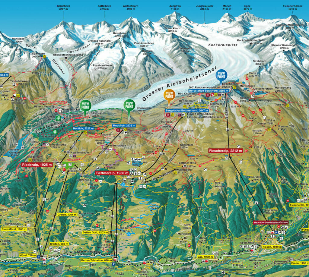
The Aletsch glacier is located in the Upper Valais region, a little bit higher than the city of Brig in the Rhone valley. As you will see, there are many ways to get to the Aletsch glacier by car but mostly by public transportation. To give you a clearer picture of the place, here is a map of the Aletsch region:
Going up to the high plateau of Riederalp – Bettmeralp – Fiescheralp
As you can see on this map, whether you arrive by car or by train, you have 3 cable car possibilities to go up to the high plateau which is under the glacier (Note that it is not possible to drive on the high plateau and that you have to use the parking lots in the valley):
- Mörel-Riederalp: Arrival in Mörel by train or by car (paid parking) then 19,60chfs the return trip (full price) by cable car to Riederalp.
- Betten-Bettmeralp: You can arrive at Betten Talstation by train or car (paid parking) and then take the gondola to Bettmeralp and back for 19,60chfs (full price).
- Fiesch-Fiescheralp: Arrival in Fiesch by train or car (paid parking), then 27chfs for the return trip (full price) by cable car to Fiescheralp.
You can find more information about schedules and prices on the Aletsch Arena website.
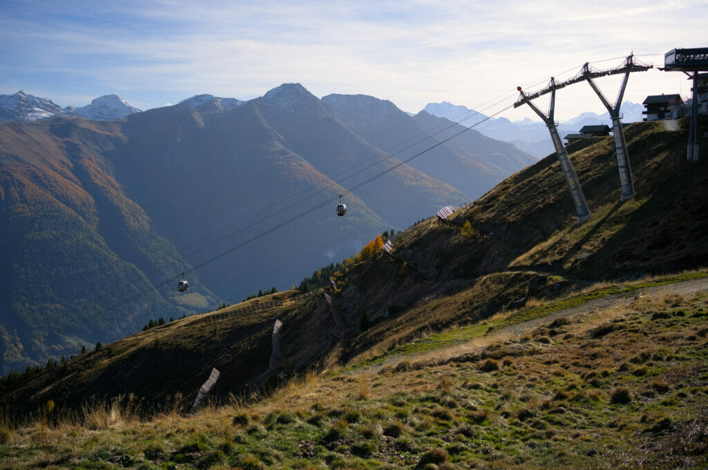
The cable cars to the Aletsch glacier viewpoints
As you can see on the map, once you are in Riederalp, Bettmeralp or Fiescheralp, you don’t see the Aletsch glacier yet 😉 . From there, you have several possibilities depending on your preferences and budget:
- Start hiking from the high plateau: This is the option we chose to save money because the gondolas going up to the different viewpoints are quite expensive. So we chose to go up to Fiescheralp which is the closest station to the glacier to start our hike.
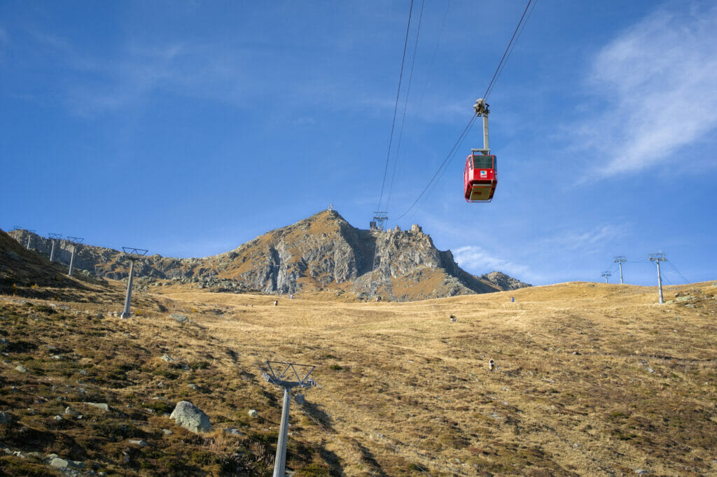
- Take one of the 4 cable cars that go up to different viewpoints (Eggishorn, Bettmerhorn, Moosfluh, Hohfluh): This is obviously the least tiring option to enjoy the glacier but not the least expensive. Count 49chfs for a return trip at full price to do Betten-Bettmerhorn or Fiesch-Eggishorn. You can find the detailed price list here.
Are you planning to visit Switzerland by train? We recommend you to read our article which will allow you to compare the Swiss travel pass with the half-fare card. The article also includes 3 examples of train routes through Switzerland and the associated budget depending on the ticket you take.
If you prefer not to take a travel pass, but rather take advantage of the Supersaver tickets and day passes, then go to this post for all the details.
The different ways to explore the Aletsch glacier
Of course, as I just told you, you could simply go up to one of the viewpoints by cable car and then come back down. But in our opinion it would be a shame not to take advantage of your day in the area to hike a part of the Aletsch glacier panorama trail. It will allow you to get away from the crowds and enjoy the incredible panoramas peacefully.
According to us, there are 2 interesting options for hiking around the Aletsch glacier:
Aletsch glacier panoramic hike from Fiescheralp (or Bettmeralp)
After already 6 days of roadtrip and quite a lot of hiking every day (we hiked 15-20 kms every day 😉 ), it’s the option that seemed the most reasonable. We chose to start the hike in Fiescheralp rather than Bettmeralp because we could do a 5-6 kms shorter loop (14 kms in all) with 300m less elevation gain.
But if you feel like doing a good 18-20 km day hike, then you can start in Bettmeralp instead because the cable car ride is a bit cheaper (Betten to Bettmeralp for 19,60chfs vs. 27chfs to Fiesch to Fiescheralp at full price).
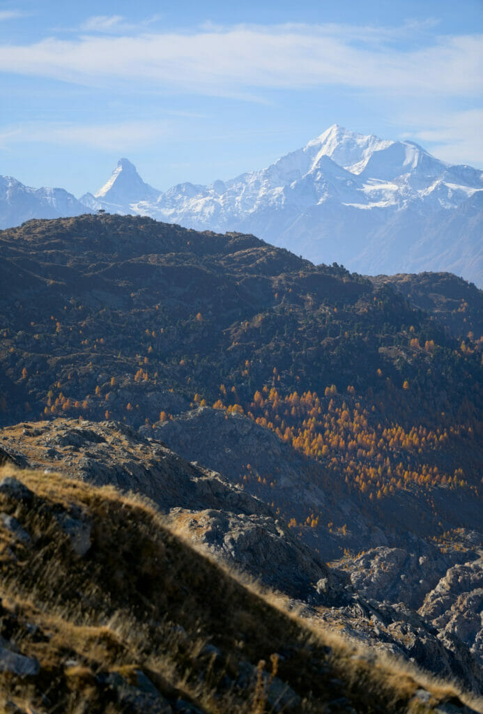
This day, we got to the top of the cable car in Fiescheralp early in the morning. The light was still magnificent on the surrounding summits and we had a breathtaking view on the emblematic 4000m of the region (the Matterhorn, the Weisshorn and the Mischabels range) on the other side of the Rhone valley. What a panorama to start this hike! (and that was only the beginning)
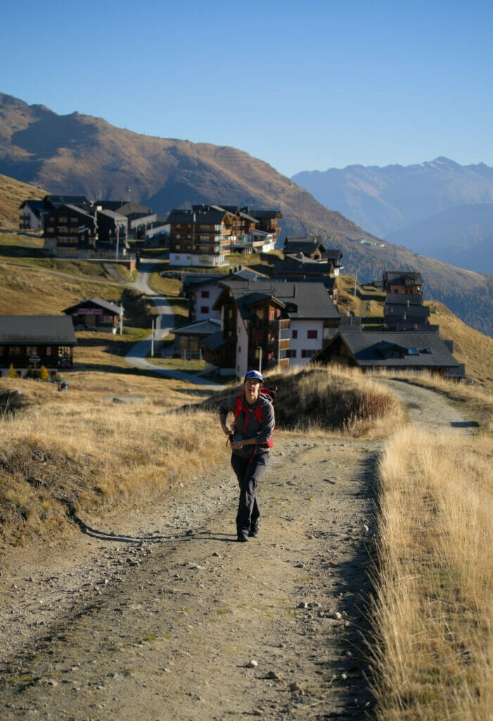
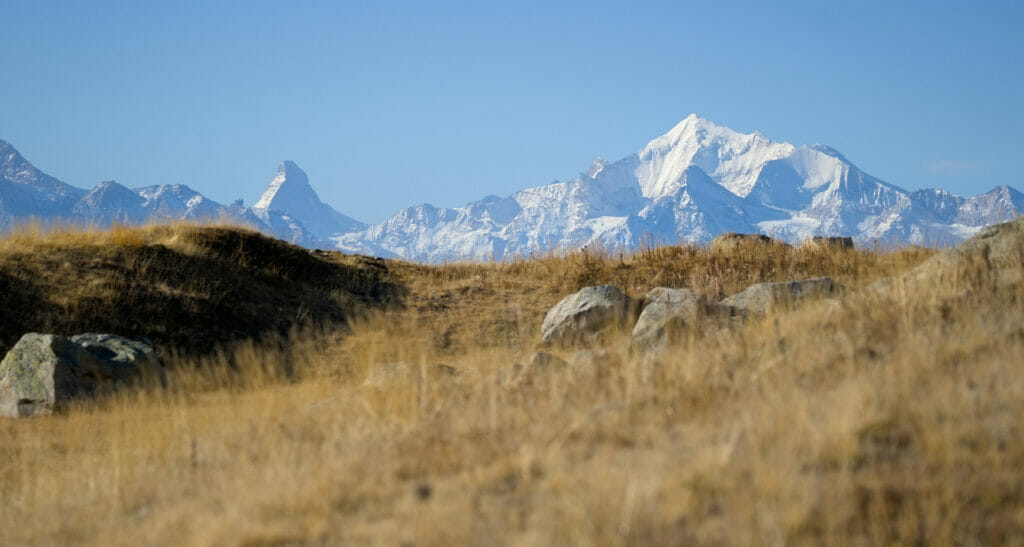
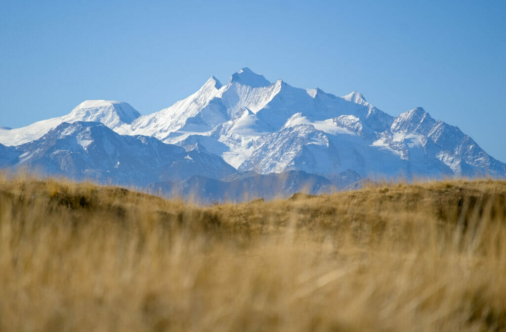
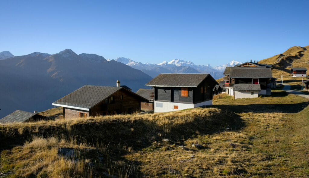
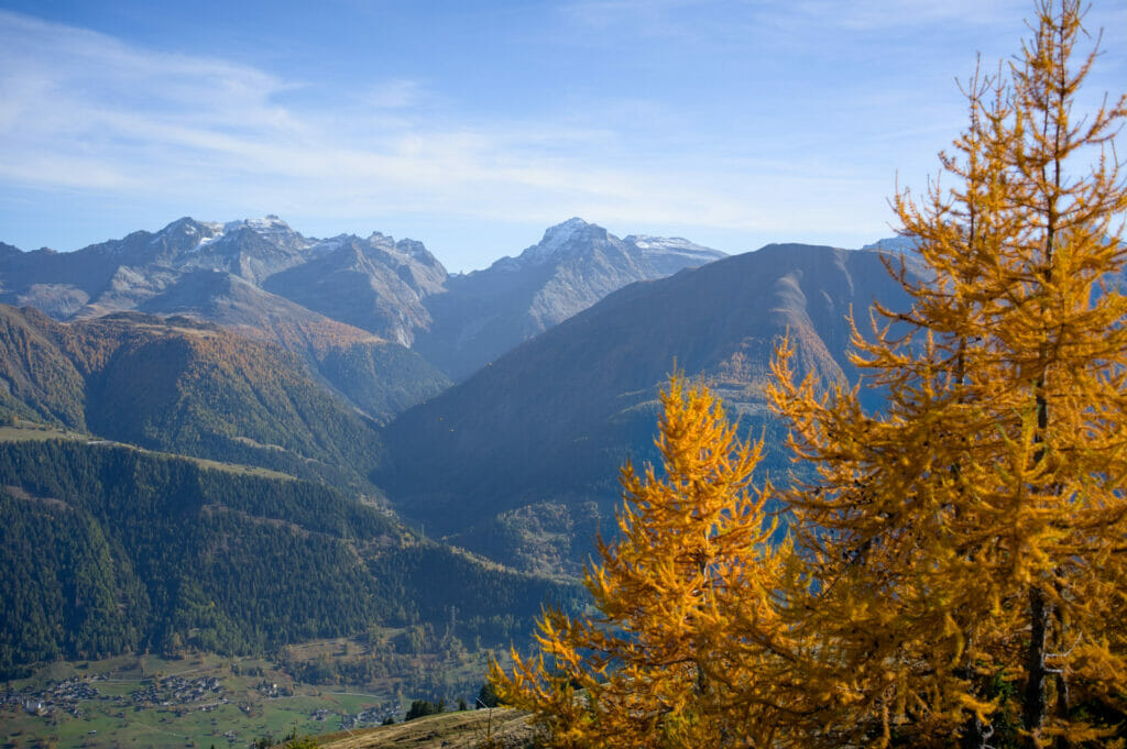
First we climb slowly for about 3 km to reach the Aletsch glacier panoramic trail (No 39) at the place called “Hohbalm”. Further down, you can see the village of Bettmeralp and even the small town of Brig at the bottom of the Rhone valley.
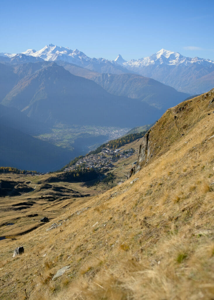
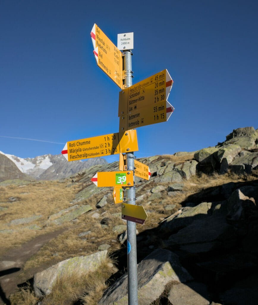
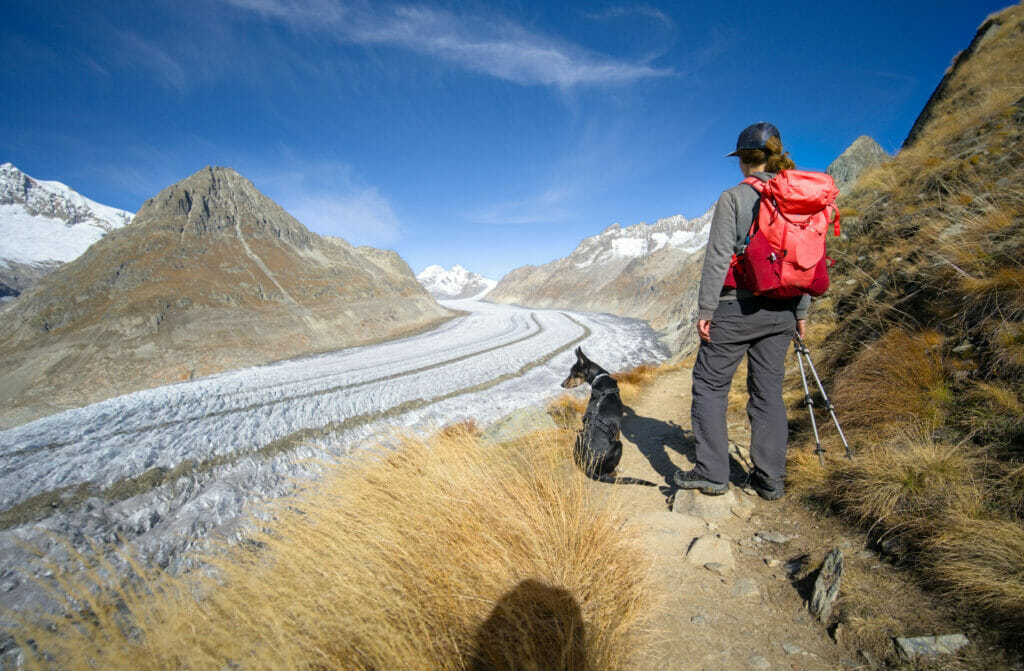
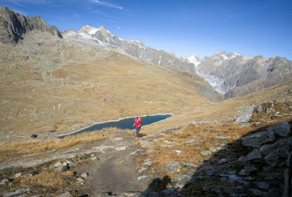
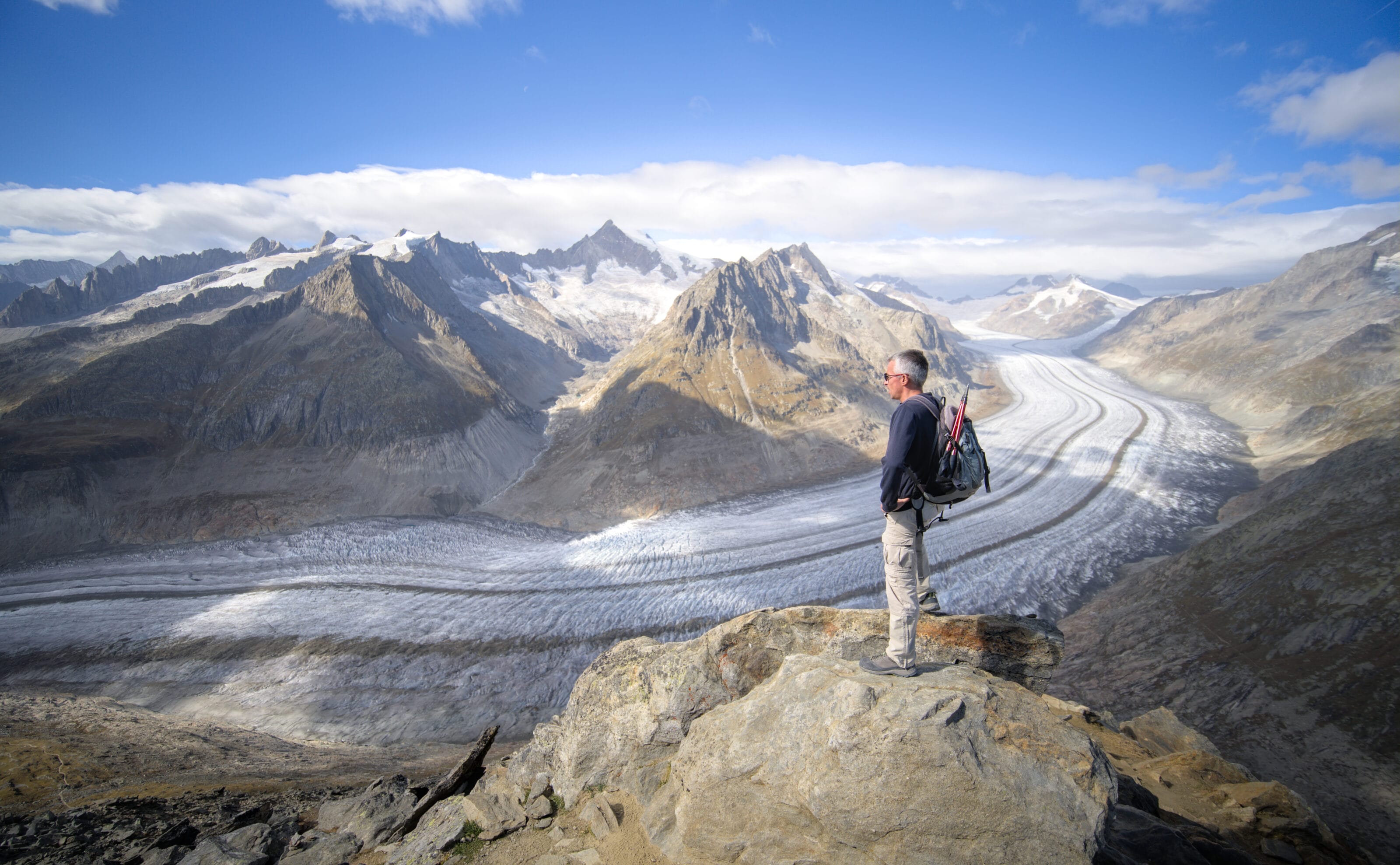
From this place, we hike for 4-5 kms on a path (the Aletsch Panoramaweg) which offers without any doubt some of the most iconic and impressive views in Switzerland! We had already seen tons of pictures of the Aletsch glacier on the internet but frankly, to see it for real, it still left us speechless!
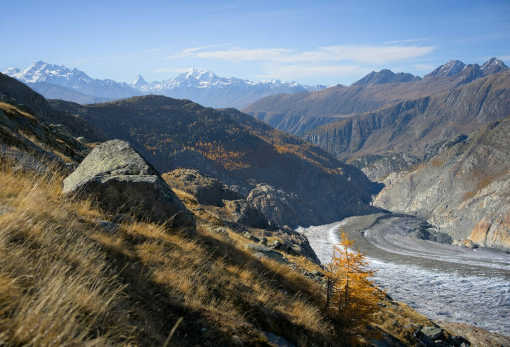
In front of us we have this huge ice highway that makes a big curve around the Aletschhorn (4193m). Behind us, we have the tongue of the glacier that ends at the foot of the Aletsch forest and its orange larch trees (with the Matterhorn and the Weisshorn in the background to complete this picture). It’s just woowwww!
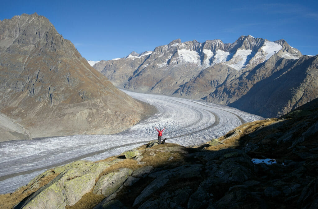
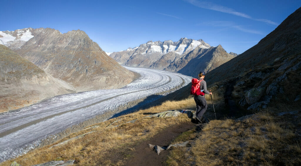
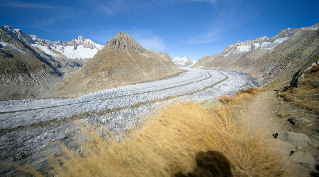
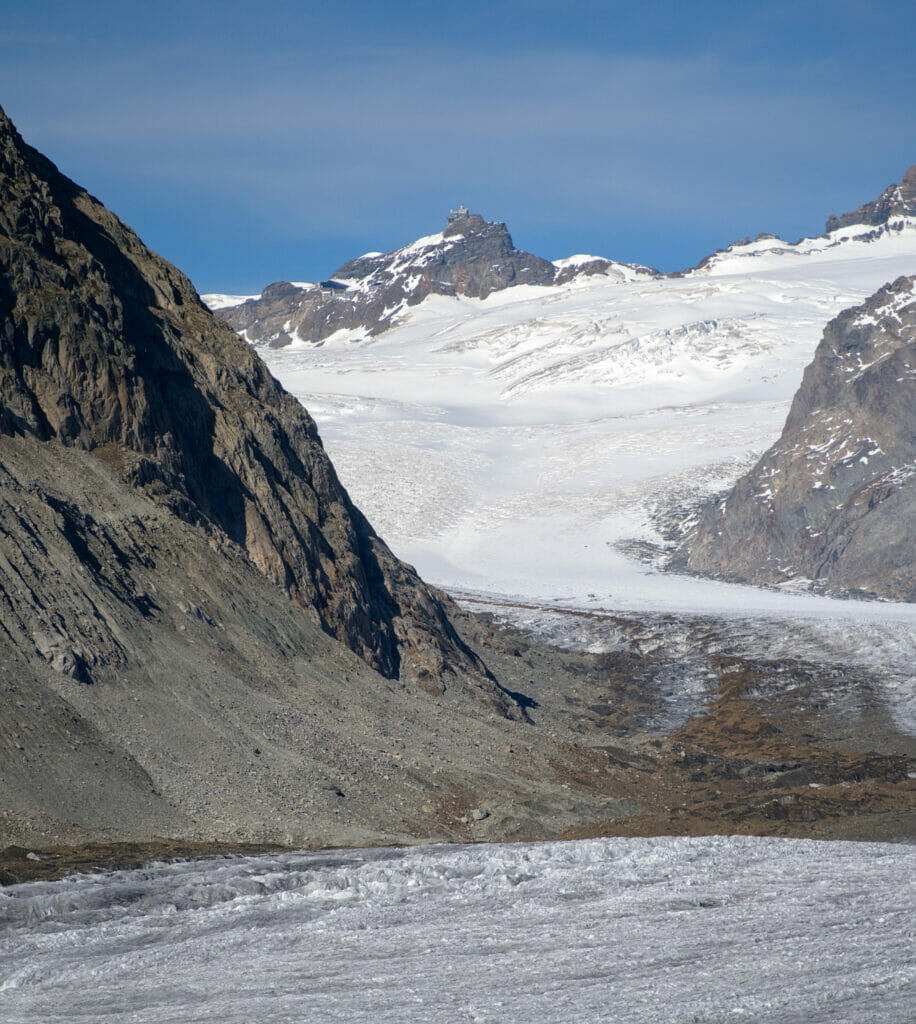
The more we progress along the path, the better we see the famous Konkordiaplatz which is the place where the 3 main glaciers meet to form the huge tongue of the Aletsch glacier. In the background, we can also see the Jungfraujoch, the highest railway station in Europe (3454m) that we could admire from the other side only a few days ago (from the Lauterbrunnen valley).
With such a panorama, we can have a little and well deserved picnic break while admiring this impressive mass of ice which extends in front of us.
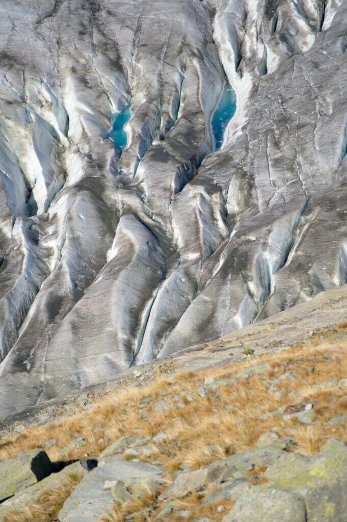
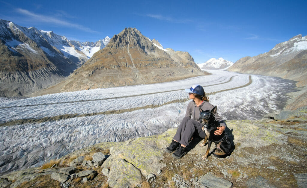
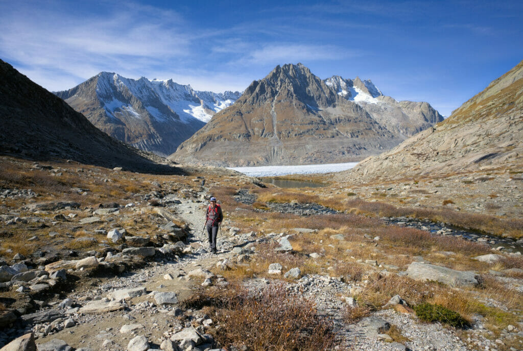
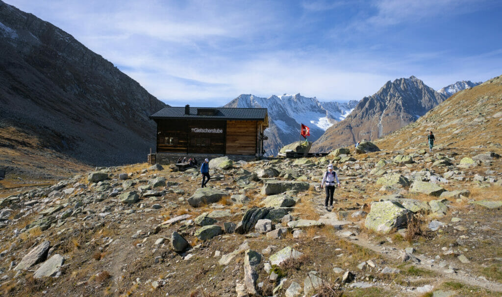
At the small Märjelen lake, the trail leaves the edge of the glacier and branches off into a side valley. The path climbs up to the Gletscherstube, which is located at the edge of an artificial lake. At this point, there are 2 possibilities to return to the Fiescheralp:
- The fastest (but not the most scenic) option is through the Tälligrat tunnel, then follow the trail to the village.
- Or hike up to the Tälligrat pass (2610m) and then down to Fiescheralp.
Of course we chose the scenic option which goes up to the Tälligrat pass from which we have a nice view over the Fiesch glacier 😉 . Besides, the ascent is quite short so we recommend you to chose this option if you still have the legs 🙂
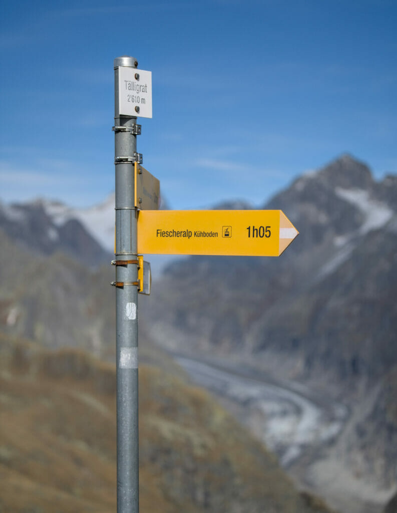
From this pass, it is also possible to climb to the top of the Eggishorn (2926m) which is one of the most beautiful viewpoints on the Aletsch Glacier (also accessible by cable car). But after a week of hiking, we had had our fill and we preferred to go straight down to Fiescheralp. Which took us about 1h on a nice trail.
Note: in 2023 we came back here to hike the Aletsch UNESCO ridge trail between the Eggishorn and the Bettmerhorn. Highly recommended!
- Distance: around 14kms
- Elevation: about 700m d+-
- Difficulty: Easy (even if you still have to hike 14 kms 😉 )
- Duration: 4-5h with breaks and pictures 😉
- Notes: You will find a map with the GPX track at the end of the post (the red track)
Hike from A to B with the Aletsch explorer day pass
A second option to discover the Aletsch glacier is to buy the explorer day pass which allows you to take any lift in the Aletsch arena to go up or down. With this ticket you can go up to point A, hike to point B, go back down with any cable car in the valley and finally take the train back to your starting point (the train is also included in this pass).
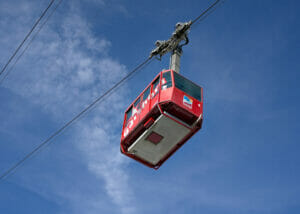
This day pass is a bit more expensive (about 55€), but it allows you to do an even nicer hike than the one we just showed you. For example, you could:
- park in Mörel and take the cable car to Hohfluh, a viewpoint located in the protected Aletsch forest
- hike for about 10kms on the Aletsch glacier panoramic trail (green path on the map below)
- make a nice climb to the top of the Eggishorn to have one of the most beautiful views on the glacier
- go down to the village of Fiesch with the cable cars
- take the train back to Mörel
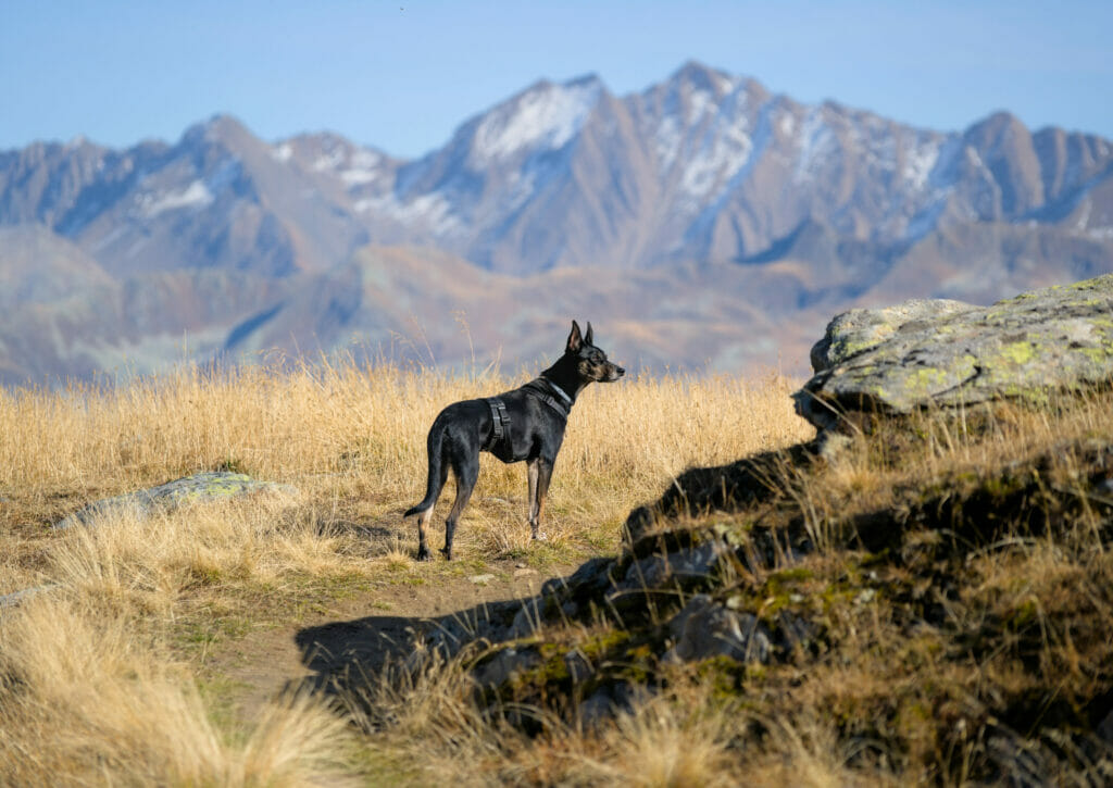
On our side, we really hesitated to choose this option because we would have liked to see the Aletsch forest from closer. But counting the dog (who would also have had to pay a ticket), it was quite a budget and we opted for the loop from Fiescheralp.
Note: The advantage of buying the pass through Civitatis is that you can cancel your purchase up to 48 hours before the activity. On the other hand, if you are Swiss and you have a half price abo, you can buy this pass at 50% on the Aletscharena website.
Map of the Aletsch glacier hikes
Below you will find in red the loop we did from Fiescheralp and in green the hike you could do by buying the day pass:
We hope that this post has inspired you to come and hike around the Aletsch glacier. We have to say that it has not stolen its place in the list of the most emblematic places of our beautiful country… And we are very happy to have finally filled this gap in our Swiss hiking list 😉 .
We also hope that we will have the occasion to come back in the area because we would like to walk in the Aletsch Forest. There is also the ridge hike between the Bettmerhorn and the Eggishorn (the UNESCO Höhenweg) which is really interesting because the panorama on the Aletsch glacier must be spectacular from there (we finally did it in 2023 😉 ).
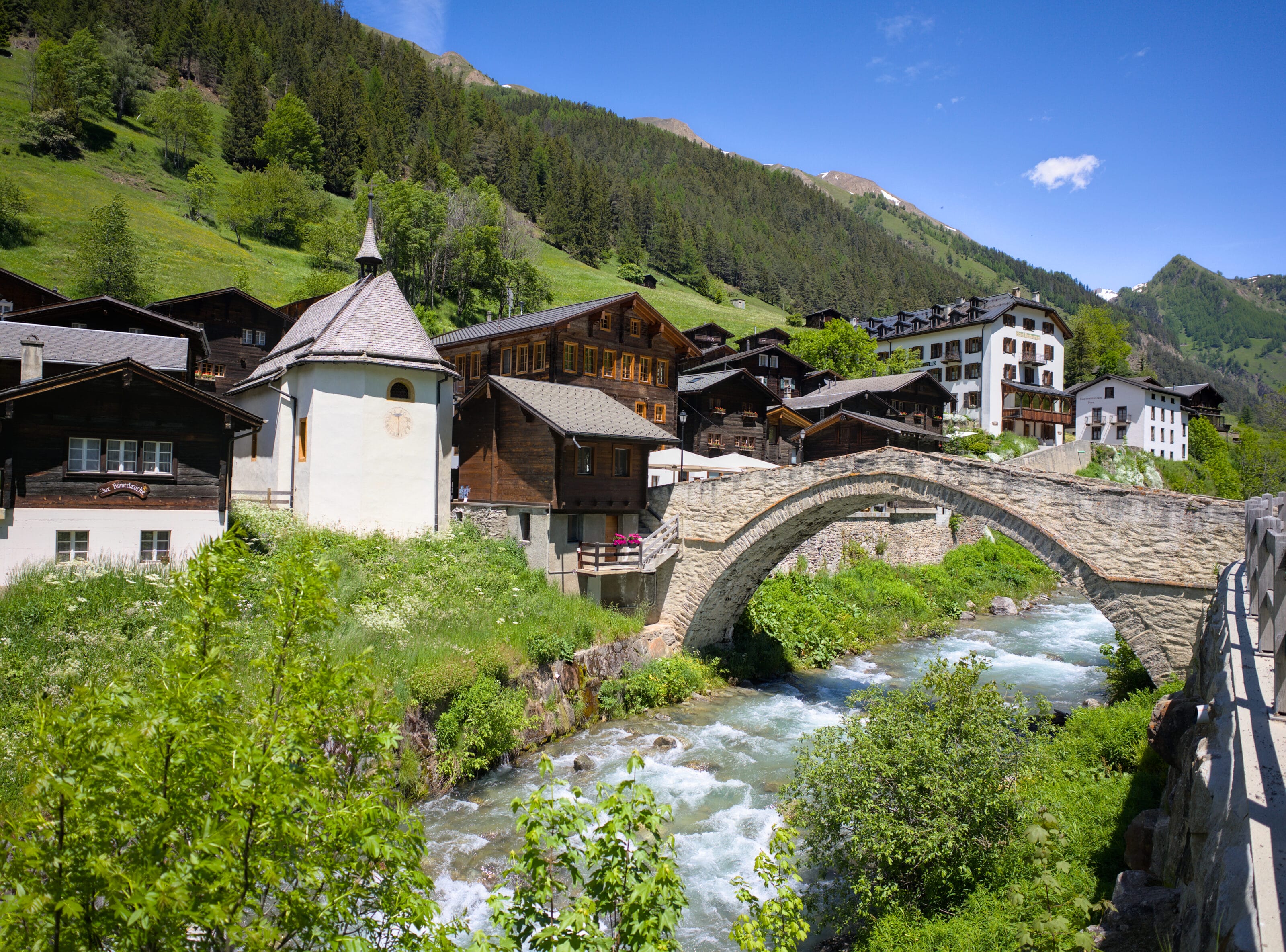
And if you’re in the area and want to get away from the crowds, we recommend you take a look at the Binn Valley just across the road. It’s a magical valley that’s 100% authentic and unspoilt. Read our article
Pin it on Pinterest
Note: This post contains affiliate links to partner sites like Civitatis. By using our links you do not pay anything extra but we will get a small commission. The affiliate links help us to offer you free, independent and ad-free content. To learn more about this, click here


Join the discussion