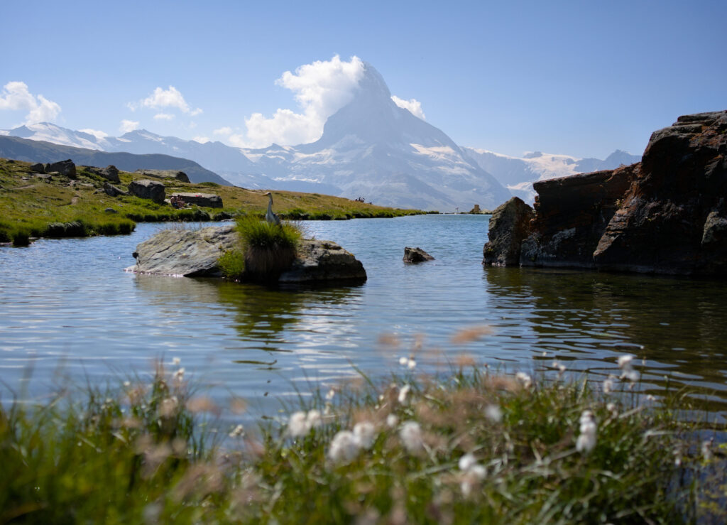
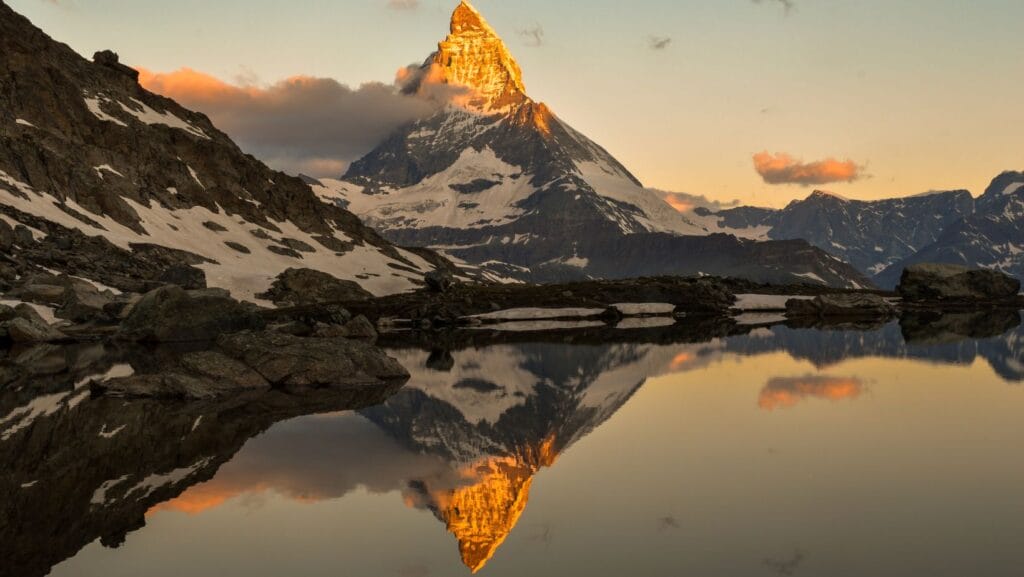
Today we’re taking you on one of Switzerland’s most emblematic hiking trails, the 5-lake trail in Zermatt. Chances are, if you’ve done any research on the resort, you’ve come across at least one photo of the Matterhorn reflected in a mountain lake (usually the Stellisee).
How do I get to these lakes? Is the hike difficult? Can it be shortened? Can it be done without spending (too much) money? We’ll try to answer all these questions and, above all, suggest several alternatives depending on your desire/ability to walk and your budget.
The 5 Lakes Trail: general presentation
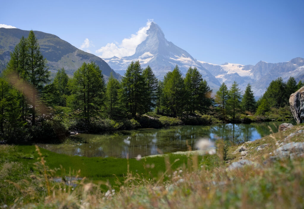
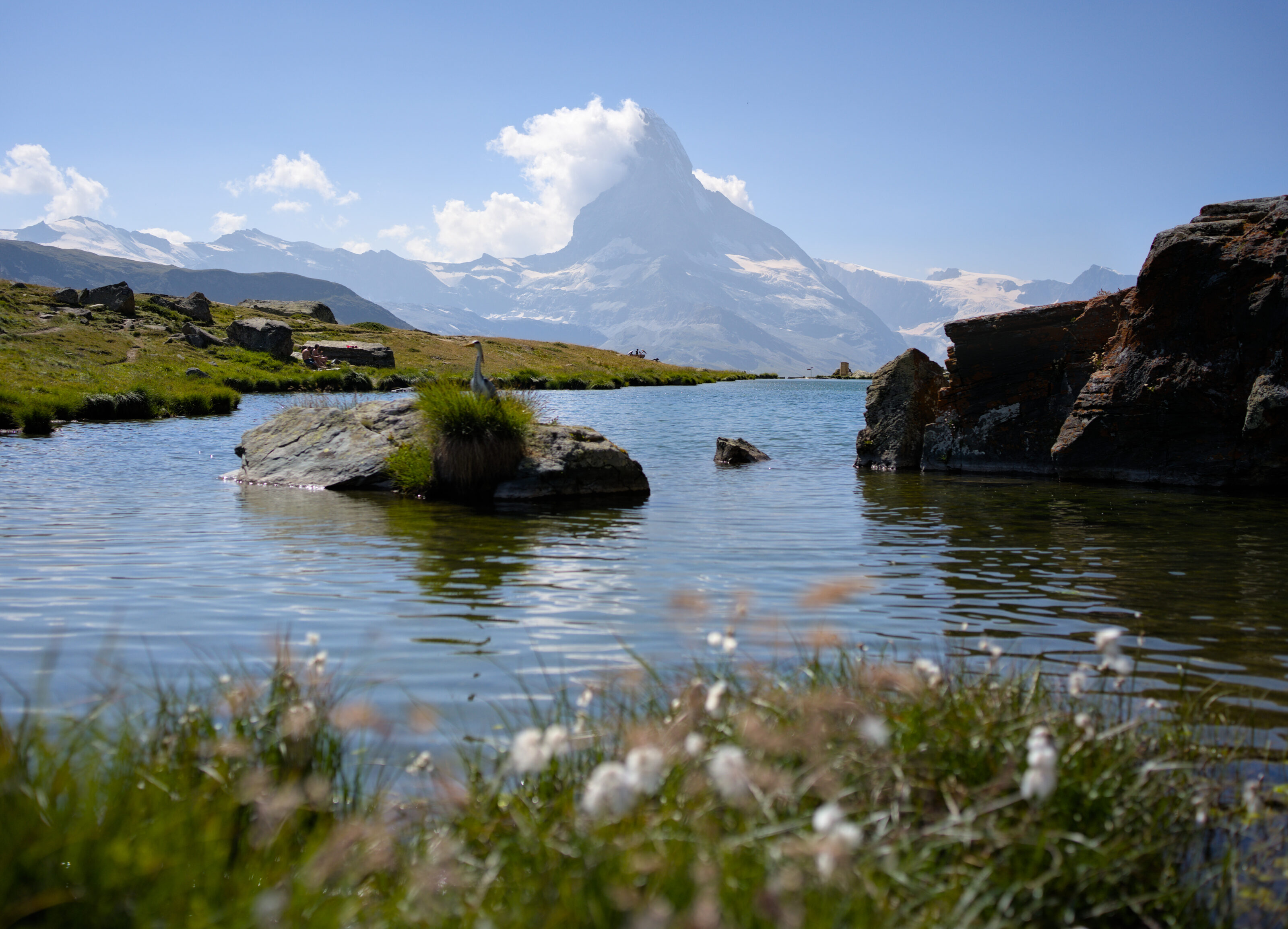
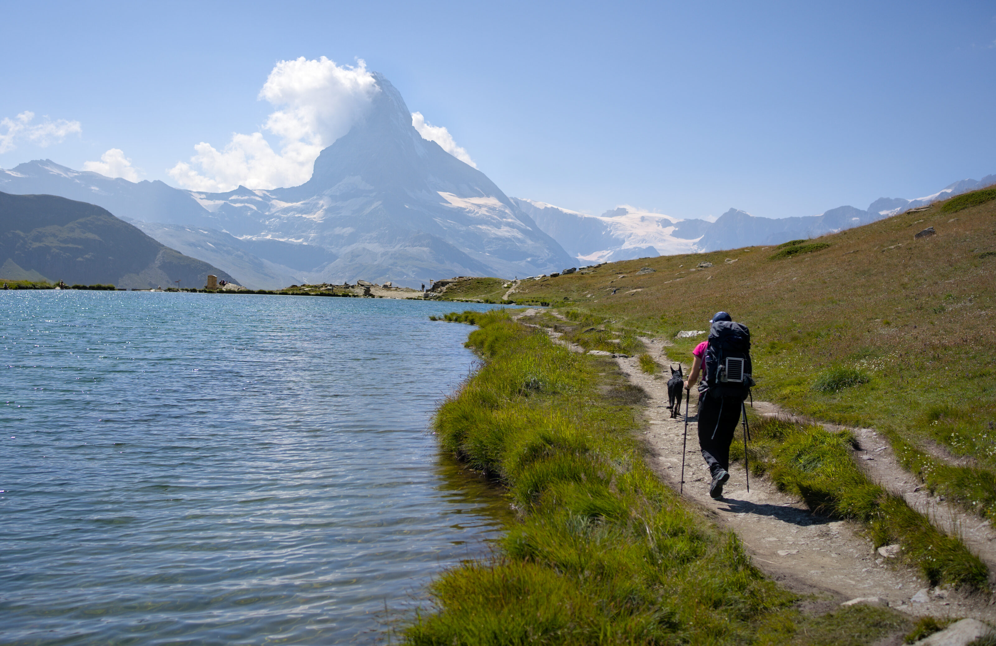
I think this is the best-known itinerary in the Zermatt region, and quite frankly, it’s easy to see why. In fact, the 5 lakes are relatively close in distance, making for an easy stroll around them all. Each lake has its own particularity… While the Stellisee is best known for its mythical reflection of the Matterhorn, the Grünsee is surprisingly green and surrounded by numerous arollies, and the Leisee is a great place to swim (ideal for families). Please note, however, that it’s not possible to see the reflection of the Matterhorn in all the lakes. The big rock (Matterhorn) is reflected in the Stelliesee, Leisee and Grindjisee.
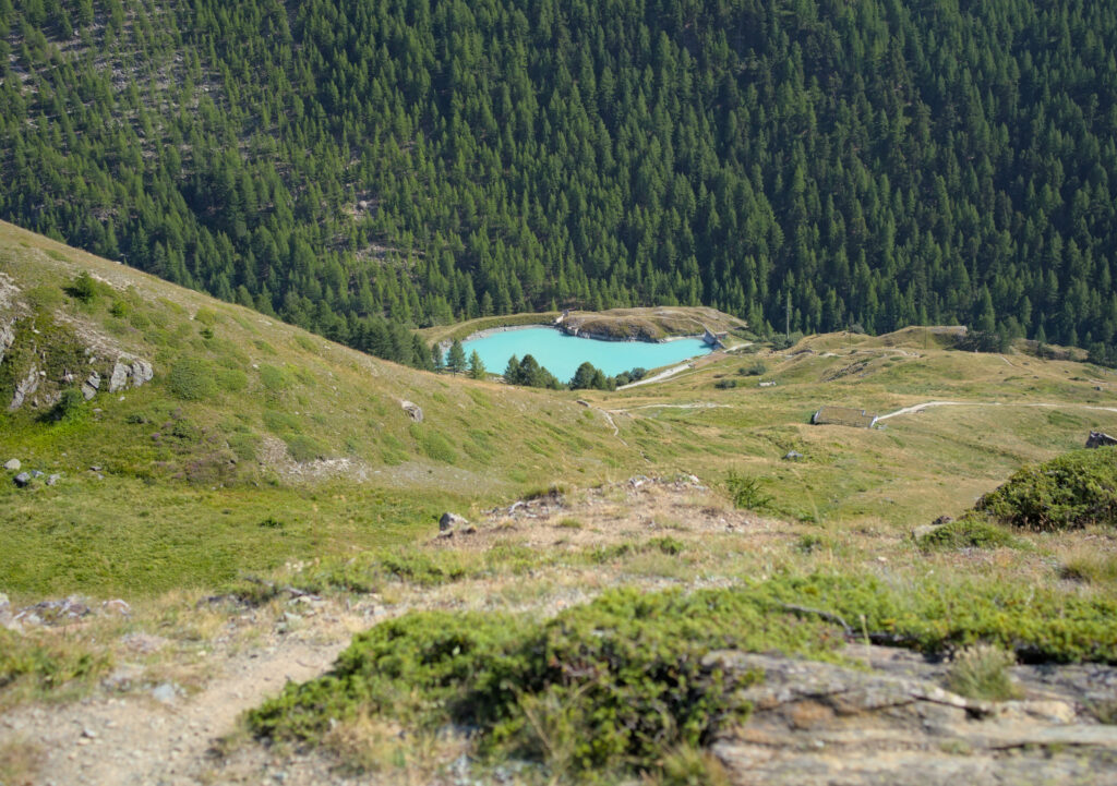
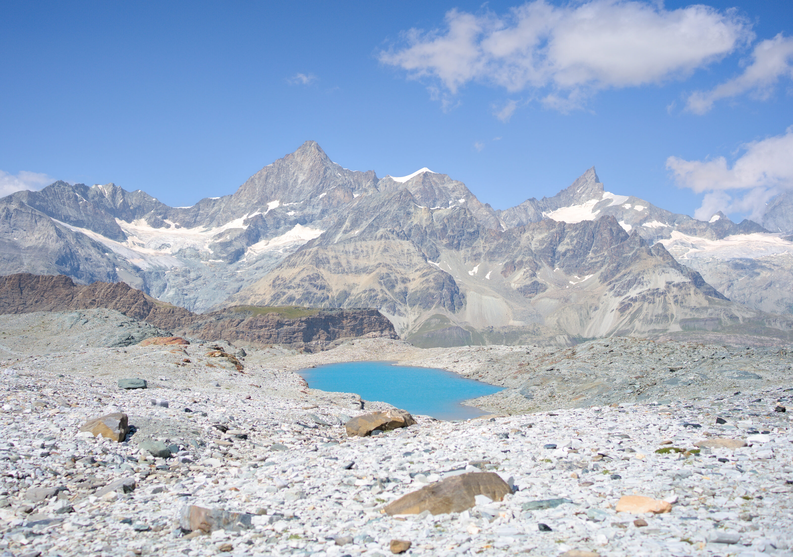
The Mosjesee is, in our opinion, the least interesting, as it is in fact an artificial reservoir used in winter to create artificial snow. After all, the milky color of the water is quite nice, but let’s just say it’s not the highlight of the tour if you ask us (in fact, we decided to only observe it from above during our itinerary and gave up the detour to go and see it up close).
Our route: from Furi to Sunegga via Riffelalp
We did this itinerary while doing the Matterhorn tour, so we didn’t start from Zermatt but from Schwarzsee 😉 For this article, we’re going to describe the route from Furi, an intermediate station on the way to Schwarzsee from Zermatt. Furi is easy to get to on foot from Zermatt (approx. 1 hour’s walk).
From Furi to Riffelalp
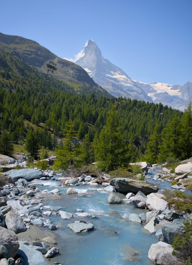
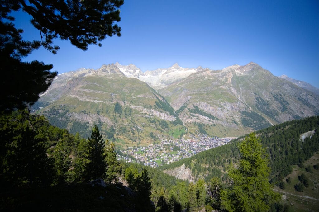
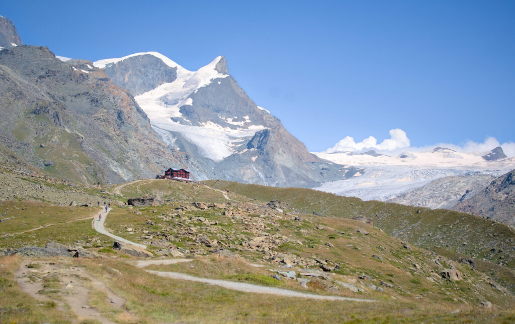
From Furi, first follow the road for a short distance towards Schweigmatten and then turn right onto the path that climbs towards Riffelalp. The climb partly follows a mountain-bike track (it’s a shared trail, so you need to be vigilant and keep your dog on a leash if he doesn’t have an absolutely impeccable recall). Most of the trail is in the forest, but it’s very pleasant even though it climbs quite steeply in places 😉 On the way up, you don’t get much of a view (you’re mainly in the trees), but as you get closer to Riffelalp, there are more and more opportunities to enjoy the view on Matterhorn.
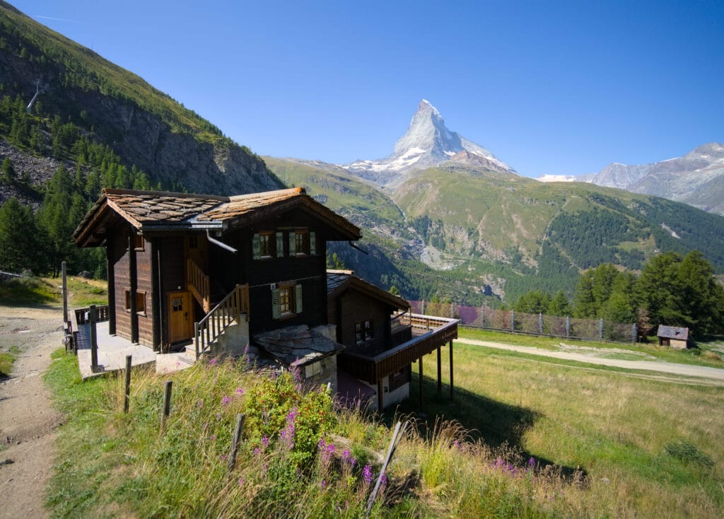
Just before reaching Riffelalp, you can turn left to go straight to the train station, but it’s also a good idea to take the short detour past the few houses if you fancy a look at the chapel or a refreshing drink.
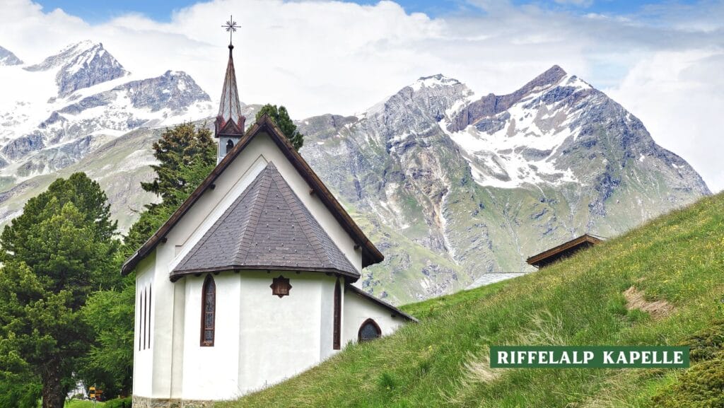
From Riffelalp to Grünsee – panoramic trail with view of the Matterhorn
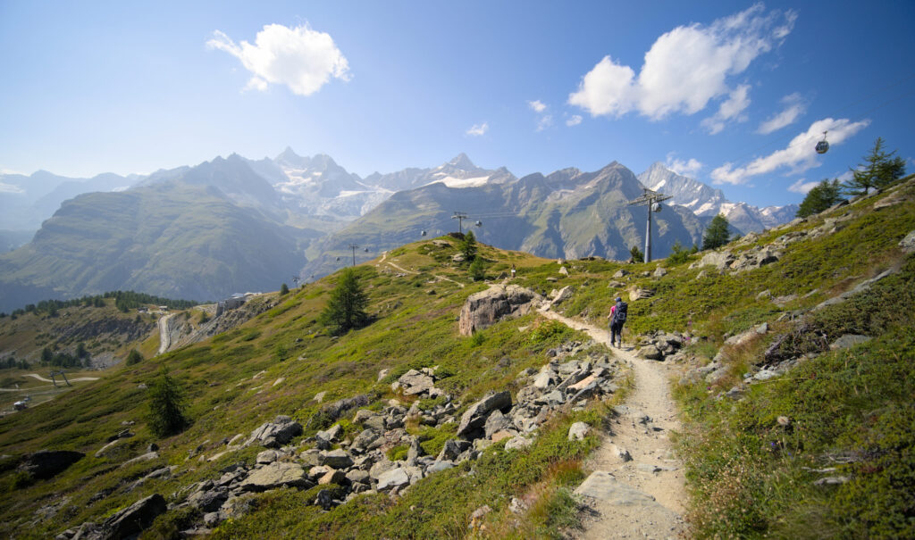
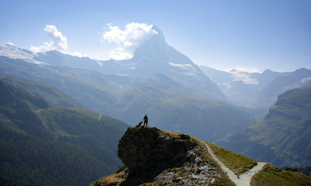
From Riffelalp onwards, we’re pretty much done with the ascent for a while (well, almost… it’s still the mountains, so it’s never perfectly flat 😉 but let’s just say there are no more big climbs until we reach the first lake. The “balcony” path is really magnificent and offers several viewpoints over Zermatt and, of course, the Matterhorn. I personally really enjoyed this section! Once at the Seewjinu Mountain Lodge, we rejoin the official route of the 5-lake tour and are only a few steps away from Grünsee, the first small lake on our route.
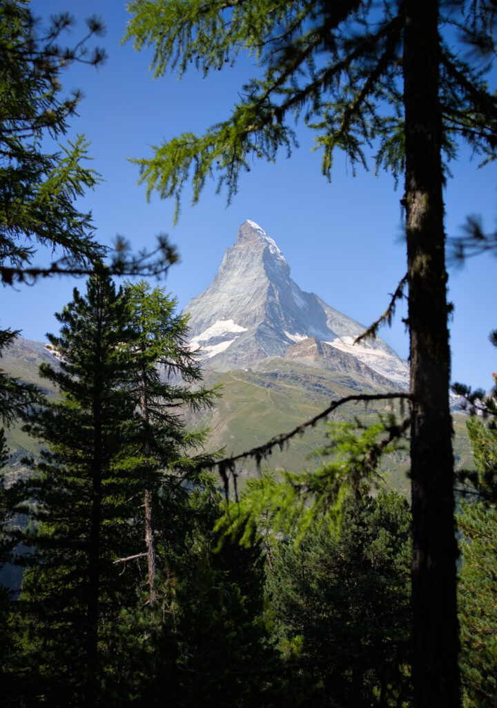
The Grünsee has certainly lived up to its name: it’s green all right, and offers a magnificent view of the Matterhorn. But be warned, you won’t be able to capture the reflection of the Matterhorn in the lake here, for that you’ll have to go a little further 😉
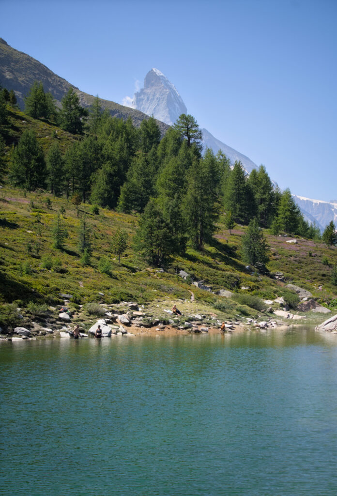
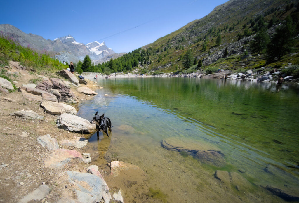
Afterwards, we found it really crowded at this lake (perhaps the most crowded on our tour), but perhaps this was simply due to our timing… Or maybe it’s because Grünsee and Leisee are the only 2 lakes on the tour where swimming is allowed, and so people tend to linger longer.
From Grünsee to Grindjisee
From the Grünsee, the path first continues flat before dipping a few metres to cross the Findelbach. From here, there’s a beautiful view of the Matterhorn, and the path then climbs up on the left towards the Grindjisee. Beware, a trace seems to go diagonally up on the right, this passage is indeed a “shortcut” to the Stellisee, but it will make you miss a lake and that’s a shame if you want our humble opinion 😉
From Grindjisee to Stellisee
From Grindjisee, the official 5-lake trail continues by looping around to the west, but for our part we decided to take the more direct route and followed the wide track that climbs towards Stellisee. It’s not exactly the most scenic end, but quite honestly it’s still very nice.
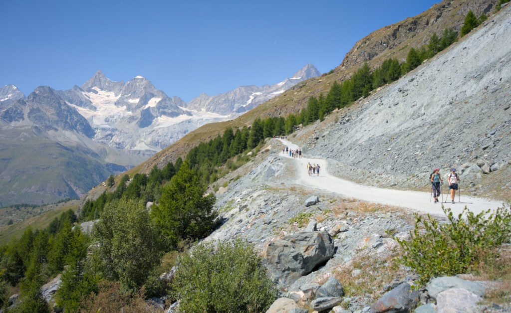
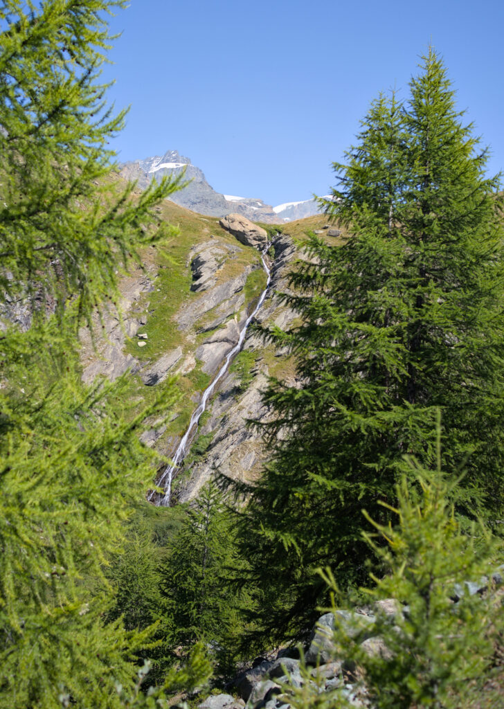
Follow the wide track up to the Stellisee. Here it’s possible to make a detour to the Alpfluh (refuge and inn) for a drink or something to eat on their terrace, but if you’re planning a picnic, the lakeside is the ideal place to enjoy your sandwich with one of the most iconic views in the Zermatt region. 🙂
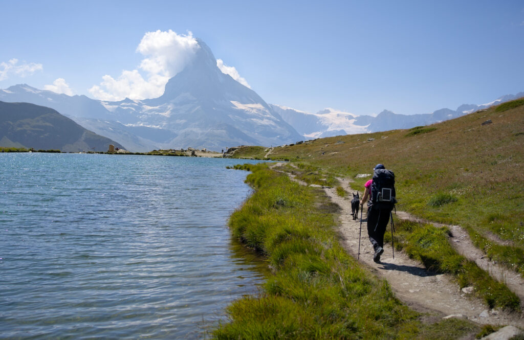
From Stellisee to Blauherd and back to Sunegga via Leisee (and Moosjisee as an option).
As for the rest of the route, let’s be honest: we made a mistake! Initially, we thought we’d go straight to Sunegga via the balcony path (i.e. not too steep). But as we left the lake, we intuitively followed the path that seemed the most “obvious” and scenic. It was only much further on that I told Benoit that this path, which was supposed to be flat, was actually quite steep. 🙂 We checked our map and were indeed climbing Blauherd “by accident”.
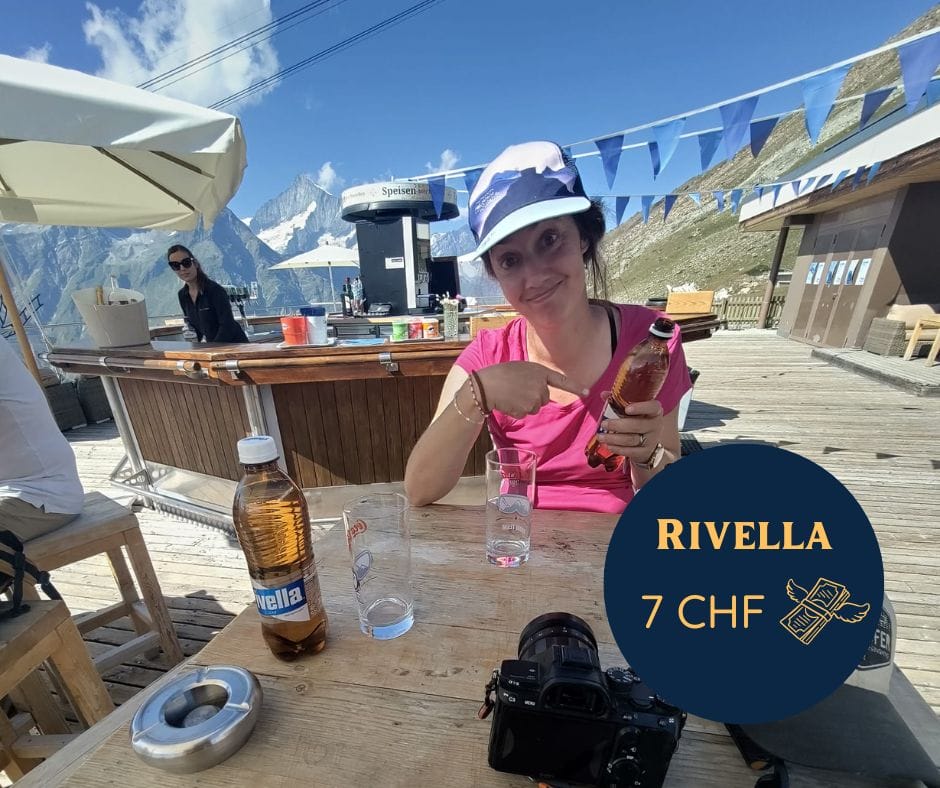
Afterwards, we decided to incude our mistake in the route we’re suggesting you, as we really enjoyed the views we had along the way! We stopped off at the Blue Lounge at the top of the gondola and savored (yes, yes) a Rivella Bleu. And I say savored, because I nearly choked when the waiter asked me for 14 CHF for 2 plastic bottles. Welcome to Zermatt and its out-of-this-world prices haha
No more seriously, I imagine there’s a premium for the view and although it’s by far the most expensive Rivella of our lives, it’s probably one of the best views too.
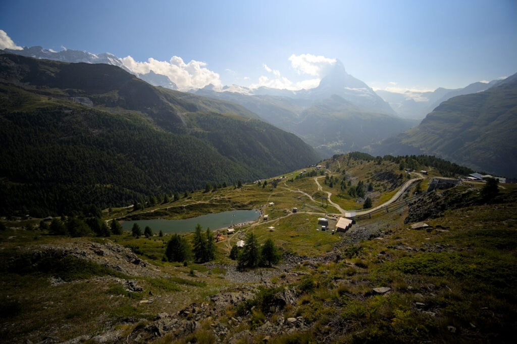
The descent to Sunegga was no less magnificent! We walk pretty much the whole way, with breathtaking views of the Matterhorn and the Zermatt valley!
Once in Sunegga, you can make the detour to Leisee and Mosjesee. The Leisee is only 2 minutes away and may be worth the effort. The Mosjesee is about a 15-minute walk away. I confess, we considered it, but we’d had a nice view of it on the way down and knew there was no view of the Matterhorn from there. Anyway, out of laziness but also because we think that a retention lake used to feed snow cannons is not a highlight, we decided to skip it.
Spend the night at Stellisee ?
I’ll be honest, the idea had crossed our minds. As we were on an itinerant hike (we were making a hike around the Matterhorn), we had our tent and all our bivouac gear with us. Before setting off, we thought it would be nice to camp by a lake with a view of the Matterhorn… But we figured we’d just have to wait and see. The verdict? We went to the Zermatt campsite! 🙂
Why sleeping at the Stellisee is unsuitable (in our opinion):
- As we explained in our article on bivouacs, the idea of sleeping in the wilderness is based on the idea of limiting one’s impact and not disturbing others. At Stellisee, we found the location to be beautiful, but also VERY popular. Here, we would clearly have had the impression of disturbing.
- The Fluhalp hostel is just up the road (we don’t think it’s right to bivouac close to accommodation without asking permission).
- The lake simply doesn’t lend itself to this. At the time of our visit, the ground was very wet and, quite frankly, it would have been difficult to find a more or less flat spot to pitch our tent.
- On the internet, you can sometimes see photos of tents on the edge of the lake on flat spots. The trail goes all the way around the lake and it’s (in our opinion) not at all respectful to set down right next to the path (or even right on top of it, as can be seen in some photos).
- Officially forbidden 😉
There are plenty of places to pitch your tent around Zermatt (in fact, we had slept at the foot of the Matterhorn the night before), but it’s also important to know when you think it’s not a suitable place, and to know when to give up.
If you want to go and admire the sunset or sunrise from the lake, I think the best option is to go further afield and wake up (very) early and get there on foot, or spend the night there at the Fluhalp.
If you’re planning a trip to Switzerland or if you live here and wish to discover some new spots, don’t miss our new ebook. Released in May 2025, this 75-page guide will help you prepare for your upcoming stay in Switzerland. We’ve compiled all our best tips and tricks for visiting our beloved little country without breaking the bank. You’ll find advice on transportation, accommodations, where to shop, as well as a list of free activities and events throughout the seasons, along with our personal recommendations for hikes and must-see spots, and a selection of off-the-beaten-path itineraries (with estimated budgets). This ultra-complete guide also includes a fantastic interactive map featuring over 500 addresses and deals.
To learn more about the ebook and the interactive map, the introductory article is available here.
The 5 lakes itineraries from Zermatt
When you research this itinerary, you almost invariably come across the same route. But as is so often the case with hiking, there are of course many possible options and detours. Here’s a quick rundown of the main options available to you (with associated lift budgets, distances and gradients).
For gondola rates, see details on this page.
If you’re visiting Switzerland and plan to take public transport (trains, buses, boats and even cable cars) several times, it may be worth looking into the question of the half-fare or Swiss Travel Pass. To find out more about these two passes, we’ve prepared an article that compares the two and should help you make your choice.
For Zermatt lifts, these 2 cards entitle you to a 50% discount on the base price. Bearing in mind that the half-fare card costs CHF 120 for 1 month, this will pay for itself relatively quickly if you’re planning several excursions.
Itinerary from Furi to the 5 lakes – Alpine metro descent from Sunegga – Passes through Riffelalp – 34 CHF
I’d choose this option not for the price (higher than just the round trip to Sunegga) but for the scenic and slightly more athletic aspect. Starting from Furi, you first climb to Riffelalp and then follow the magnificent balcony path that offers some magnificent views of the Matterhorn and the Zermatt valley. After that, it’s relatively easy to cut the bill by simply walking back down to Zermatt at the end (allow around 1h30 to the station). You can always decide for yourself at the end of the hike whether it’s worth it or not (and whether you still have the legs for it) 😉
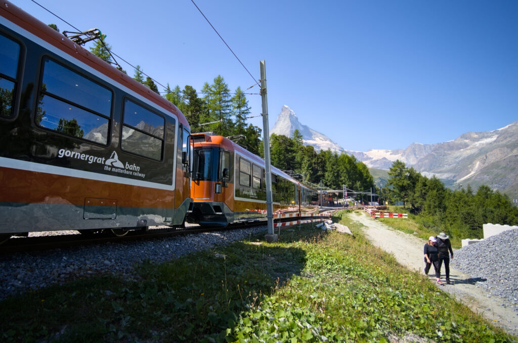
Lift fares: Zermatt – Furi: CHF 14 one-way at full fare (CHF 7 with 1/2 fare) and Sunegga-Zermatt: CHF 20 (CHF 10 with 1/2 fare). These fares are for the high season (July-August). In April-June and September-October it’s a little cheaper. We’ll let you check the fares on the website Matterhornparadise
All in all, this route is about 13km long with 900m of ascent.
This is the itinerary we have followed and described above.
The “official” route from Blauherd to Sunegga – 47 CHF
This is the “official” 5 lakes itinerary as presented on the tourist office website. It has the advantage of being the easiest (i.e. the shortest with the least ascent), but of course it’s also the most expensive 😉 Lift fare: CHF 47 (CHF 23.5 with half-fare card or Swiss Travel Pass.) (special 5-lake hike fare. Includes Zermatt-Blauherd and Sunegga-Zermatt). The route here is 9 km long, with 220 m of ascent and 500 m of descent. This route is probably the most suitable for families with young children.
On the map below, this is the red route
Note that it is possible to extend the loop slightly to reach the Fluhalp restaurant after the Stellisee and then follow the path downstream to rejoin the track.
The loop from Sunegga – less expensive and with little ascent – 29 CHF
Another popular option, and one that cuts the bill a little, is to do a complete loop from Sunegga. Instead of taking the gondola up to Blauherd, you can do the round trip on the Alpine metro. The round trip costs CHF 29 (CHF 14.50 with the half-fare or Swiss Travel Pass).
This itinerary is strictly the same as the previous one, the only difference being that the ascent from Sunegga is on foot rather than by gondola. It’s up to you to decide whether you’d rather pay CHF 18 more or walk the 1.7km (and 300m of ascent) 😉 This additional itinerary, which saves a little more than the price of 2 Rivella, is shown in blue on the map below.
Loop from Zermatt – The cheapest and sportiest option – 0 CHF
Finally, the “sportiest” and least expensive option is to do it all on foot. Here, of course, you have the option of following the same route via Furi (by walking to Furi) and simply following the path back down from Sunegga, but this route then becomes relatively long (doable, but long).
A more direct alternative would be to do the ascent as well as the descent to Sunegga and then follow the Sunegga loop presented above. Here, the option that adds “spice” is to follow the Matterhorn training trail, an itinerary designed for trailers who want to test their physical capacity 😉 The trail climbs steeply and almost relentlessly over the 600m difference in altitude between Zermatt and Sunegga. For the descent, however, we recommend taking the slightly longer but less steep route. This brings the total length of the hike to 17km, with a difference in altitude of around 1200m (both positive and negative).
That’s all for today. We hope you enjoyed this article. If you have any suggestions for alternative routes, or simply a question, don’t hesitate to leave us a comment! See you soon!
Pin it


This is so helpful, especially with the maps! I’m planning a trip to Switzerland next Summer, and can’t wait for the hiking.