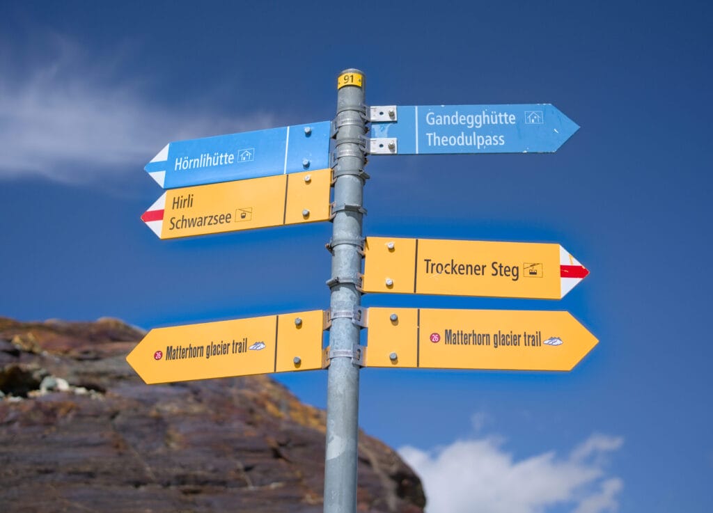
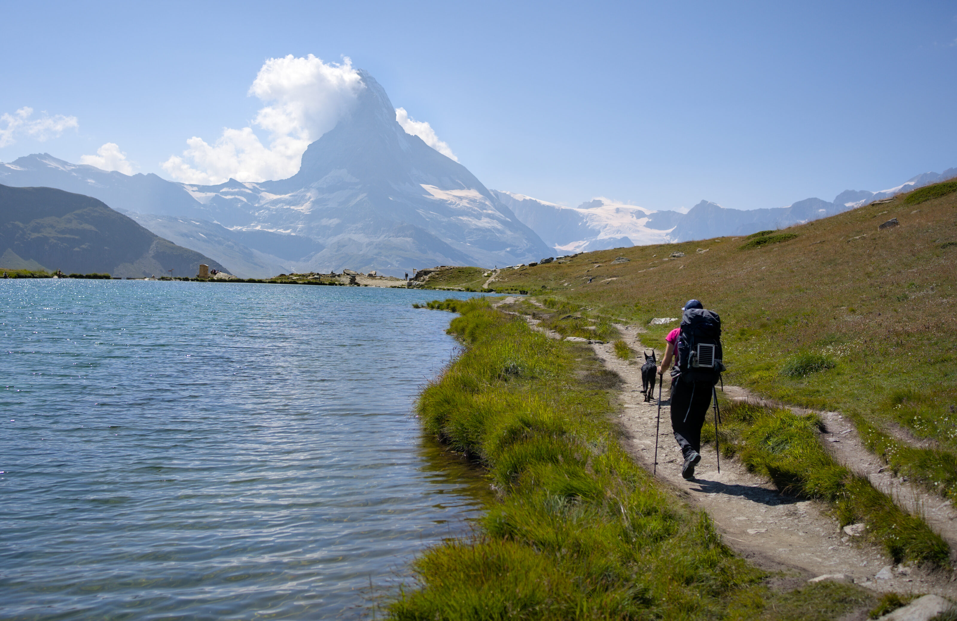
This summer we made a few infidelities to our beautiful Val d’Hérens and set off (on foot) in the direction of one of Switzerland’s most visited and well-known valleys: Zermatt. Arriving from the Italian side via the Théodule glacier, we decided to extend our itinerary and decided to follow the Matterhorn Glacier Trail between Trockener Steg and Schwarzsee.
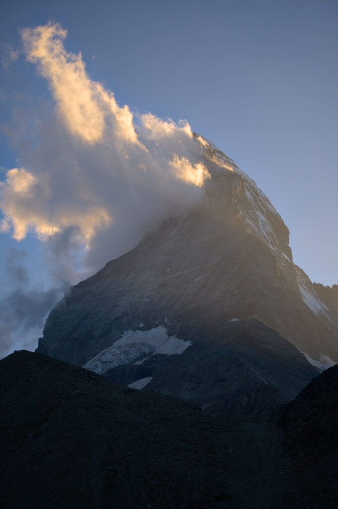
What for us was more like “a little scenic detour at the foot of the Matterhorn” on our 4 day hike, is in fact a magnificent, easy day trip if you’re just passing through the valley!
So we thought we’d devote a little article to this superb trail, which will take you as close as possible to what was once known as Toblerone Mountain (because no, the Matterhorn is officially no longer on Toblerone packaging due to national image rights issues following the relocation of factories abroad). We’re going to describe the official itinerary (which we followed), but at the end of the article we’ll suggest a few variations if you’d like to save some money and/or walk a bit more.
To find out more about our 4-day hike from Arolla to Zermatt, go to this blog post
Trockener Steg – start the hike with a look at the Theodul glacier
The official route starts at the Trockener Steg cable car station. This spot, although relatively “ugly” with all the shovels and groomers around, offers a magnificent panorama of the surrounding peaks. If you’re feeling motivated, it’s also possible to make a short detour to the Théodule glacier before tackling the Matterhorn Glacier Trail.
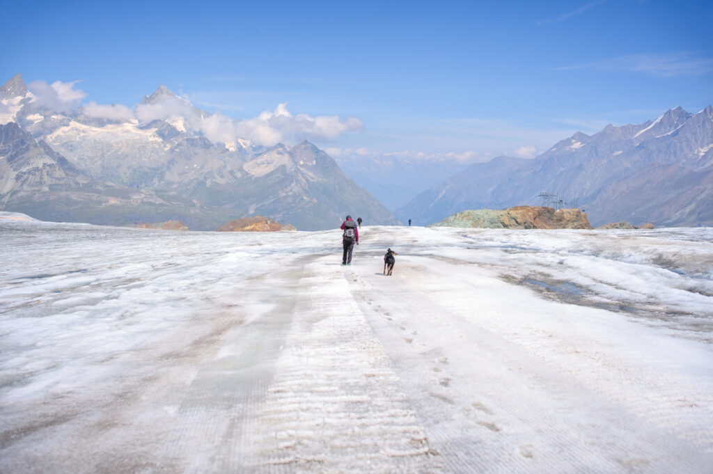
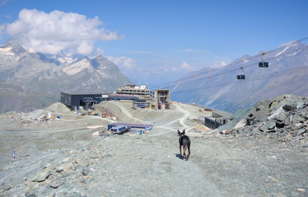
It’s not every day you can get so close to a glacier and climb it in relative safety. I say relative, because conditions will obviously depend on the season and any recent weather phenomena… But let’s just say that in normal weather, it’s relatively easy to get up there (with very few cracks, this glacier is regularly used by snow groomers and shovels, so all you have to do is follow the tracks – but be careful and know when to give up if you get the impression that conditions aren’t right).
Start of the Matterhorn Glacier Trail – Lac de Théodule
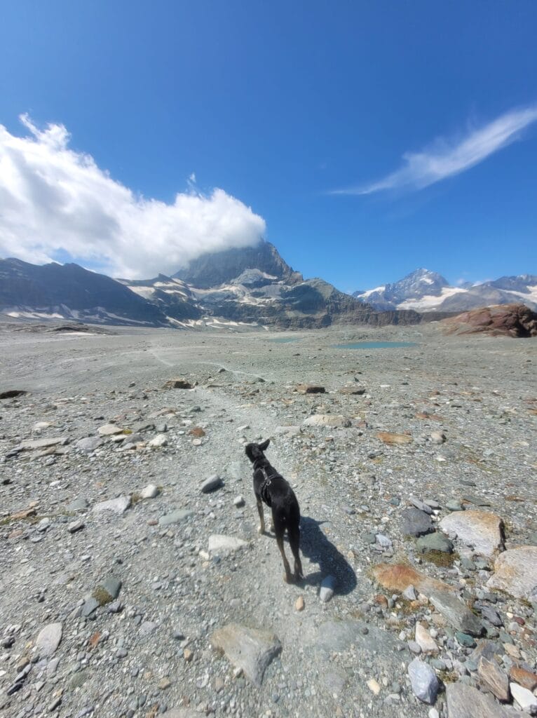
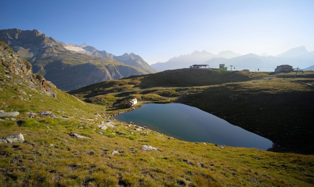
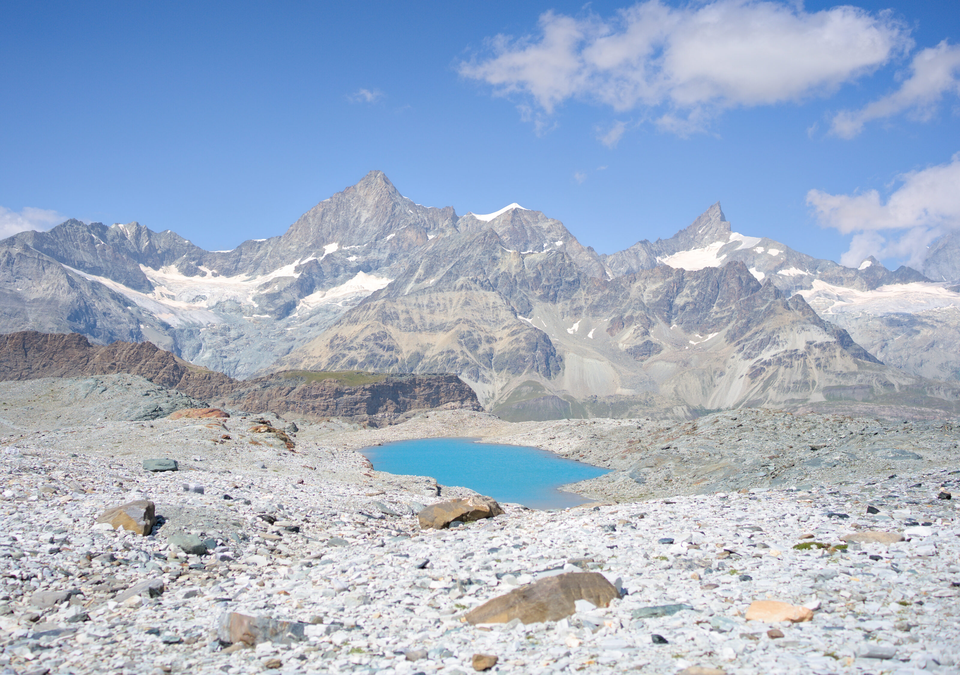
From the Trockener Steg station, the official route starts by reaching the Théodule lake just below (you won’t be able to miss it). We skirt the lake to the right and then start a short climb to a plateau where 6 more small lakes and ponds await us.
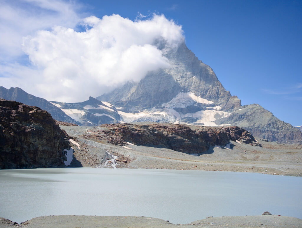
This section was probably my favorite! And I promise, I’m not just saying that because it was the only flat part of our 4-day hike 😉 The place is really splendid and it feels like we’ve arrived at the end of the world! Everything around us is 100% mineral, with lots of water and, of course, the imposing Matterhorn and its glaciers in the background!
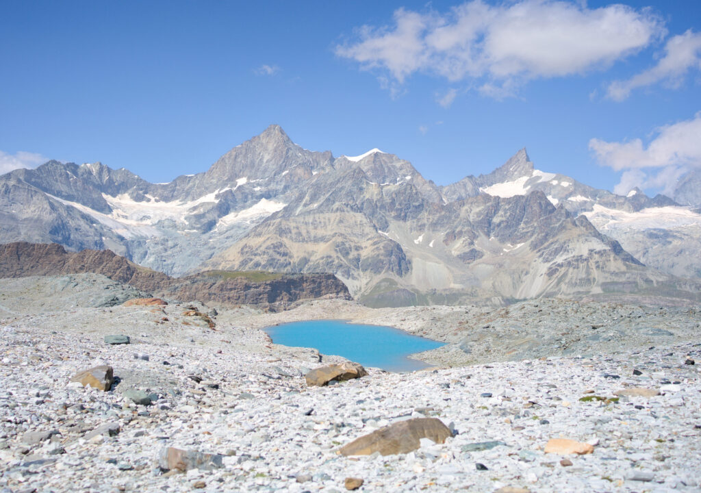
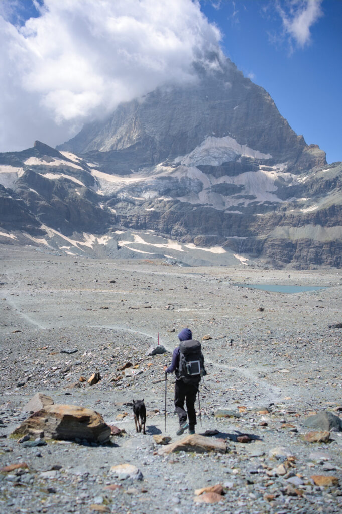
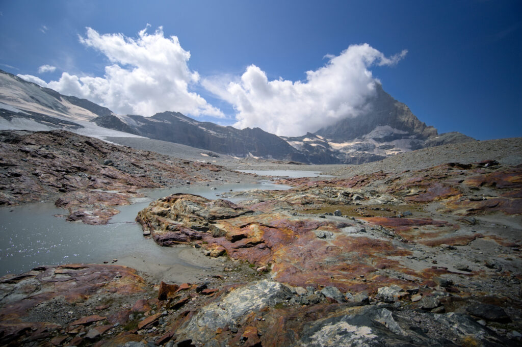
At the end of the plateau, we descend a hundred meters or so (in altitude) to join a stream that comes up from the Furgglergletscher.
If you’re planning a trip to Switzerland or if you live here and wish to discover some new spots, don’t miss our new ebook. Released in May 2025, this 75-page guide will help you prepare for your upcoming stay in Switzerland. We’ve compiled all our best tips and tricks for visiting our beloved little country without breaking the bank. You’ll find advice on transportation, accommodations, where to shop, as well as a list of free activities and events throughout the seasons, along with our personal recommendations for hikes and must-see spots, and a selection of off-the-beaten-path itineraries (with estimated budgets). This ultra-complete guide also includes a fantastic interactive map featuring over 500 addresses and deals.
To learn more about the ebook and the interactive map, the introductory article is available here.
Ascent to the “Hirli” station and end of the Matterhorn Glacier trail at Schwarzsee
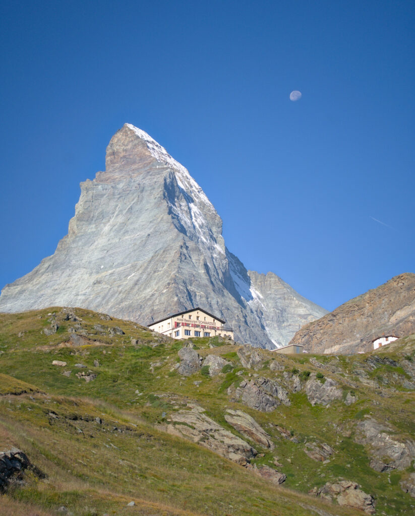
At the end of the valley, you come to a footbridge, cross it and climb up to the “Hirli” gondola station. On the way up, you’ll find yourself just below the route leading up to the Hörnli hut, visited by many alpinists on their way to the mythical Matterhorn (normal route).
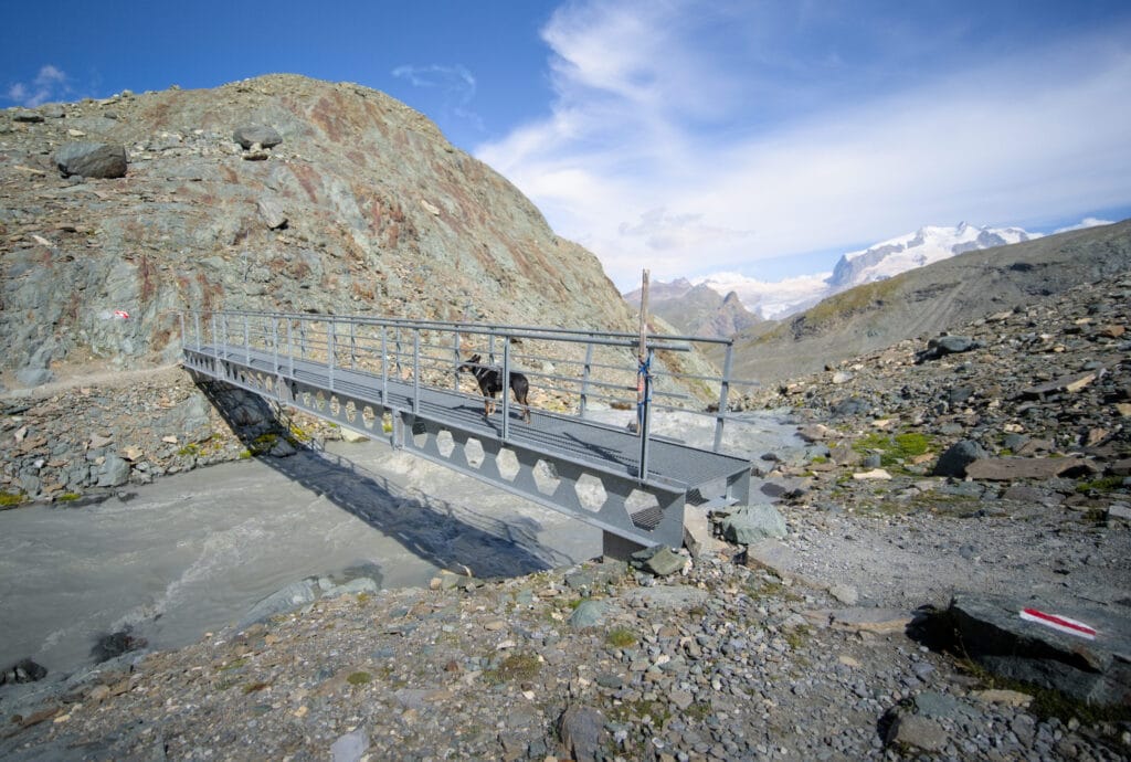
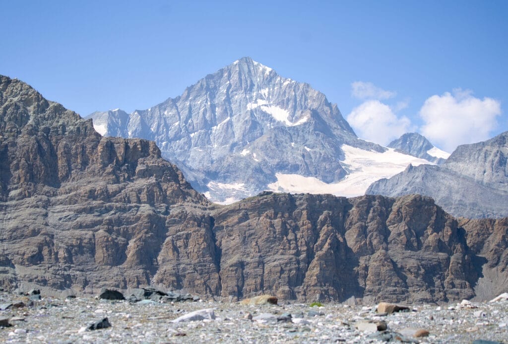
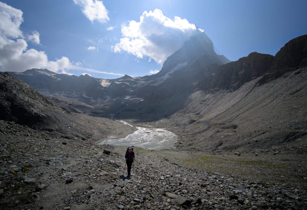
It’s actually quite funny, because as you climb up, you’re overhung by the clatter of hiking boots on the metal footbridge that runs along the cliffs below the Hirli summit (same name as the gondola station, but this time we’re talking about the mountain above).
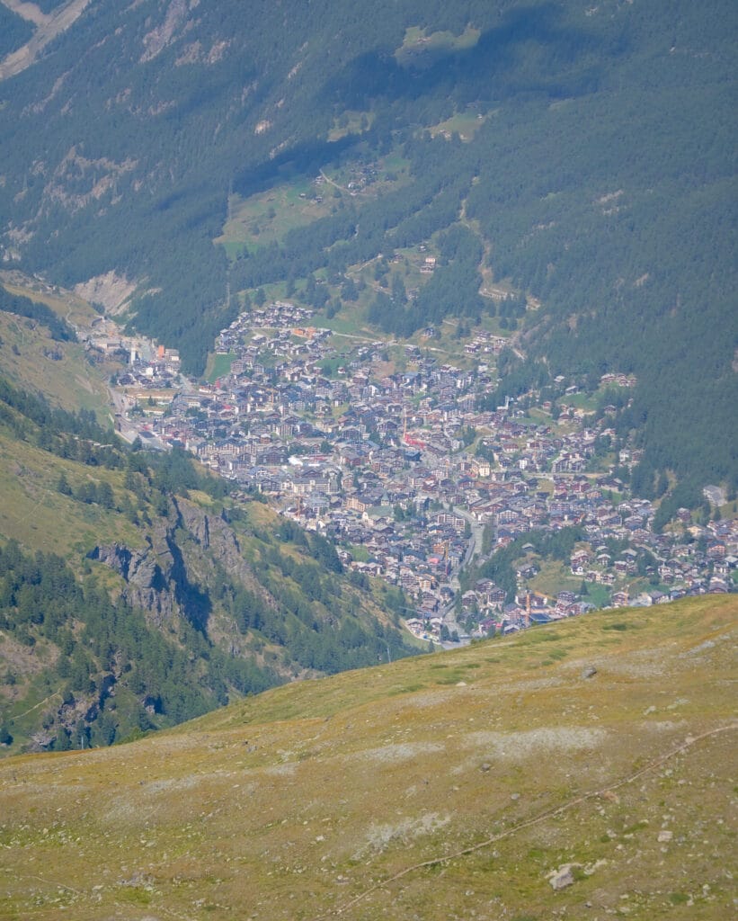
Once at the station, the view of the Zermatt valley opens up before us and we begin the descent towards Schwarzsee. This section is a little steeper than the rest of the route, but not particularly difficult.
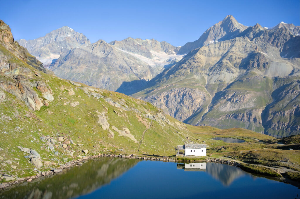
At Schwarzsee, you can enjoy a drink on the hotel terrace before either continuing your hike in the direction of Zermatt (allow around 2h-2h30 to get back down to the village without taking the cabin) or taking the gondola at Schwarzsee to go back down to Zermatt.
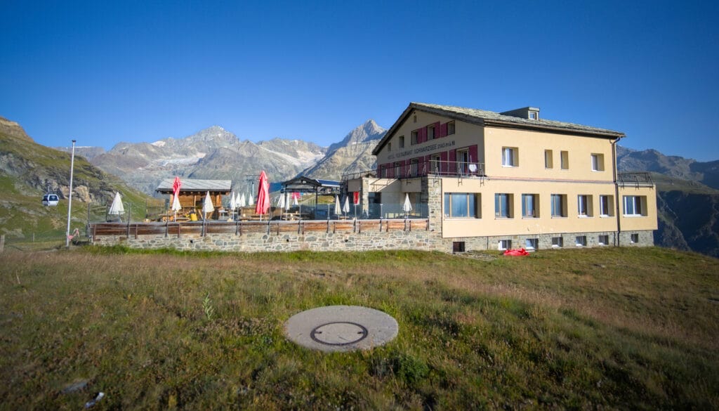
If you fancy a bit of height for your accommodation, you can spend the night at the Hotel Schwarzsee. If you think of the place as a hut, the price is relatively high, but since they also offer private rooms, it’s more like a hotel, so the rates are reasonable. Count on around 130 CHF per person for a night in a double room (breakfast and evening meal included) or 99 CHF per person in a dormitory (evening and morning meals also included). Not cheap when you put it like that, but really, if you compare it to the rates in Zermatt, it’s still very reasonable, bearing in mind that meals are included and, well… the view is absolutely AMAZING!
Cable cars in Zermatt – which ticket to choose? Doing it all on foot?
We’re not going to lie to you, Zermatt’s lift prices hurt (very badly). That’s why Benoit and I always prefer to do everything on foot 😉 For this itinerary, we did it as part of our traverse from Arolla to Zermatt, so we didn’t arrive from Zermatt but from Cervinia on the other side of the border 😉 But given that the option of hiking 4 days and crossing 2 glaciers may not be to everyone’s taste, we’ve decided to prepare 3 “one-day” itineraries for you, starting from Zermatt, depending on your budget and your desire to hike. You’ll soon see that in Zermatt, the more you hike, the cheaper it gets haha 🙂
Official itinerary of the Matterhorn Glacier Trail – Price CHF 72 to CHF 92
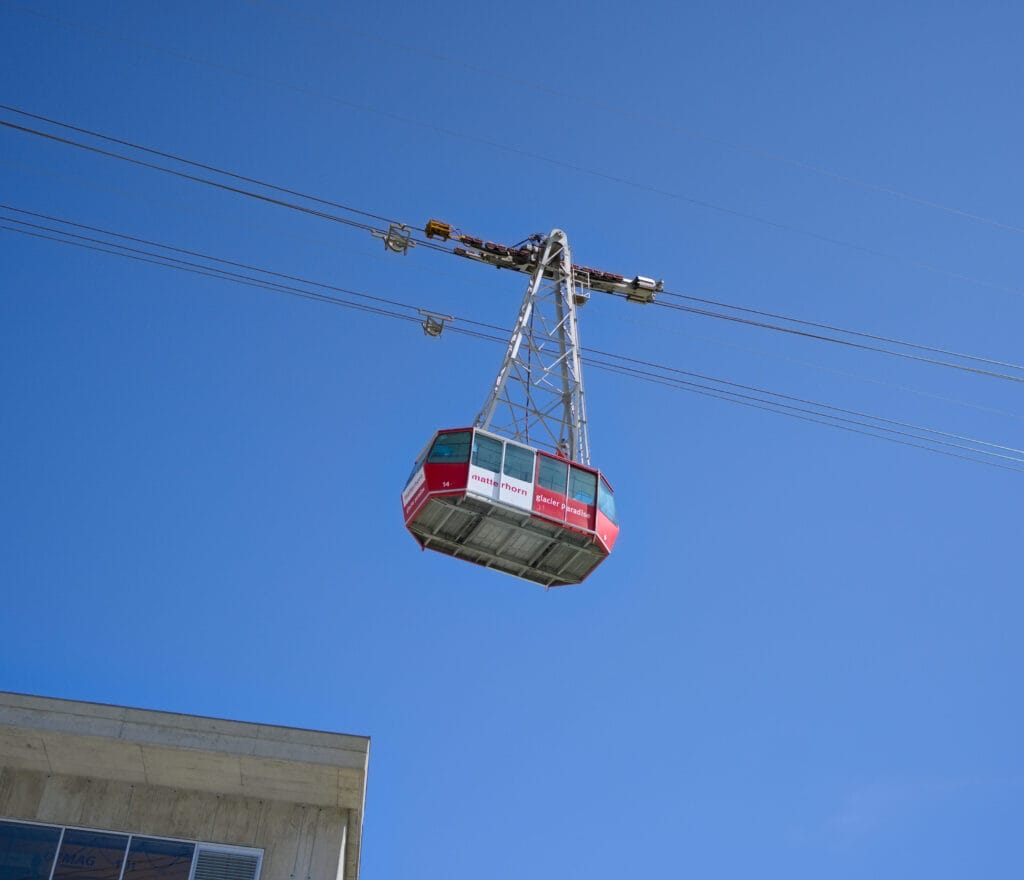
If you decide to take the gondola and follow the official route, you’ll need to buy a Zermatt-Trockener Steg ticket (from CHF 41 to CHF 52 depending on the season – July-August being the most expensive months, of course) and a Schwarzsee-Zermatt ticket (CHF 31 to CHF 40).
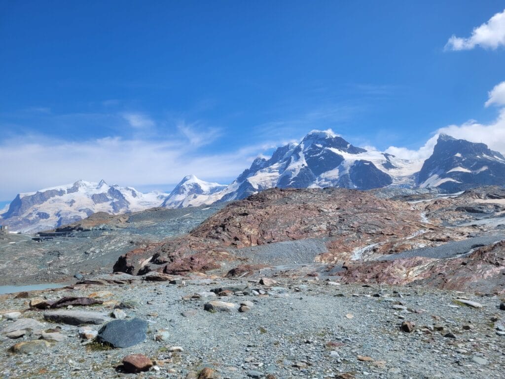
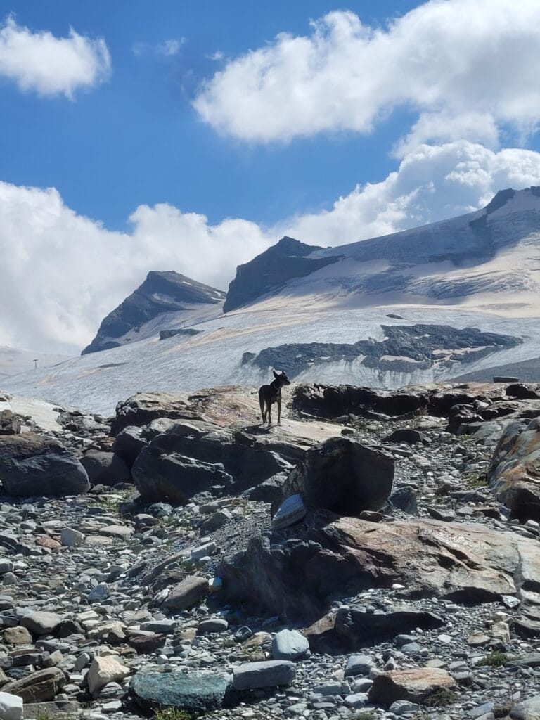
In all, the route is 6.3km long, with just under 200m of ascent. Walking time for the Matterhon Glacier Trail is officially 2 hours. This is pretty much the time it took us, although it’s easy to spend a bit more time up there, given the spectacular scenery 😉
Hiking map:
Tip : If you’re travelling through Switzerland and plan to get around a bit by public transport, it might be worth considering the Half-Fare travelcard. It costs CHF 120 for 1 month (or CHF 180 for 1 year) and entitles you to a 50% discount on all public transport (it also works on Zermatt’s cable cars and lifts). On this tour alone, the half-fare card saves CHF 46 in high season.
Note that if you have a Swiss Travel Pass, this also entitles you to a 50% discount on lifts.
Matterhorn Glacier Trail “loop” – from CHF 48 to CHF 61
An option not necessarily found on the Zermatt website is to make a loop! Fare systems are designed so that a return trip in the same cabin costs less than a one-way ticket. In the case of our itinerary, the cheapest section is the Schwarzsee. The round trip costs CHF 48 to CHF 61 (CHF 24 to CHF 30.5 if you have the Swiss Travel Pass or half-fare card).
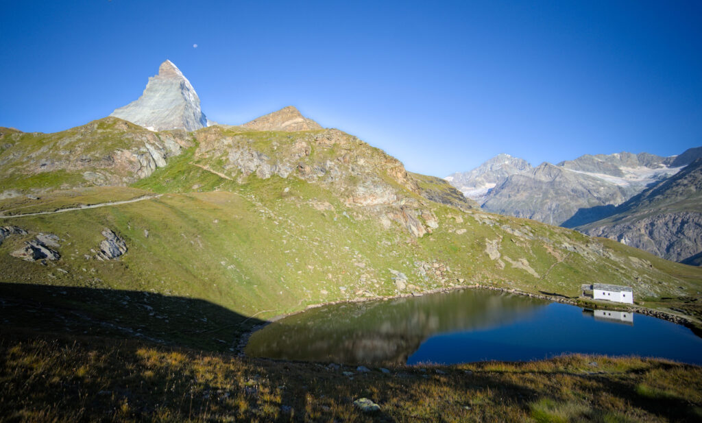
Of course, doing a loop lengthens the route, but it’s still perfectly reasonable if you ask us. Here’s a suggested itinerary you could follow:
This itinerary is 12km long with around 700m of elevation change (positive and negative). From a “walking time” point of view, you should allow around 4h-4h30, although I’d say it’s better to allow a little more, as you’ll inevitably want to stop along the way.
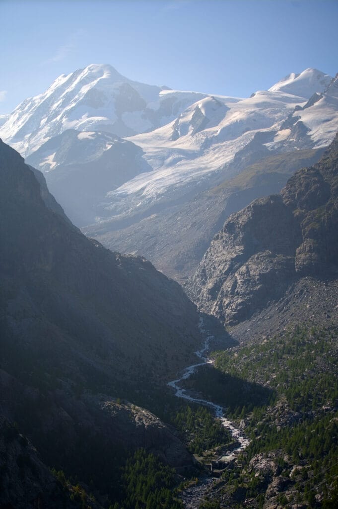
In all honesty, I think this itinerary is a very good compromise! It saves a few CHF and you get to enjoy the scenery for longer 😉
The (very) sporty option of doing almost everything on foot
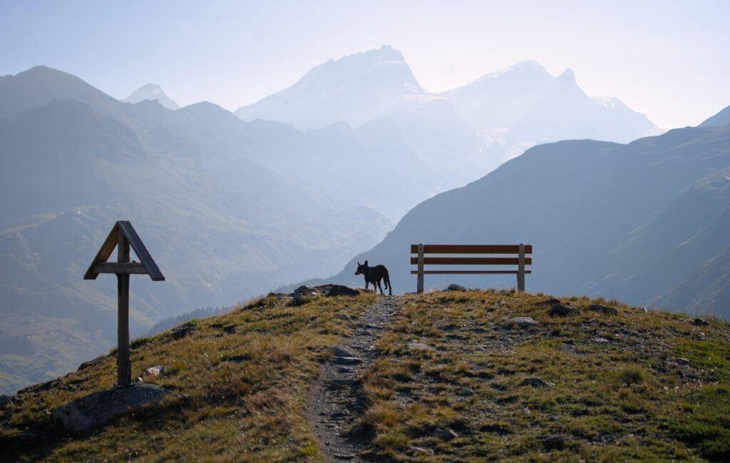
Finally, I’d like to offer you the 100% free option from Zermatt, i.e. to do it all on foot. Now, I’m not going to lie to you, this option is going to hurt your legs and is reserved for people who are used to covering such distances and elevation changes. For our part, we followed the route to Furi, and it’s really very pretty, offering many magnificent views, both of the valley and of the Matterhorn on the other side!
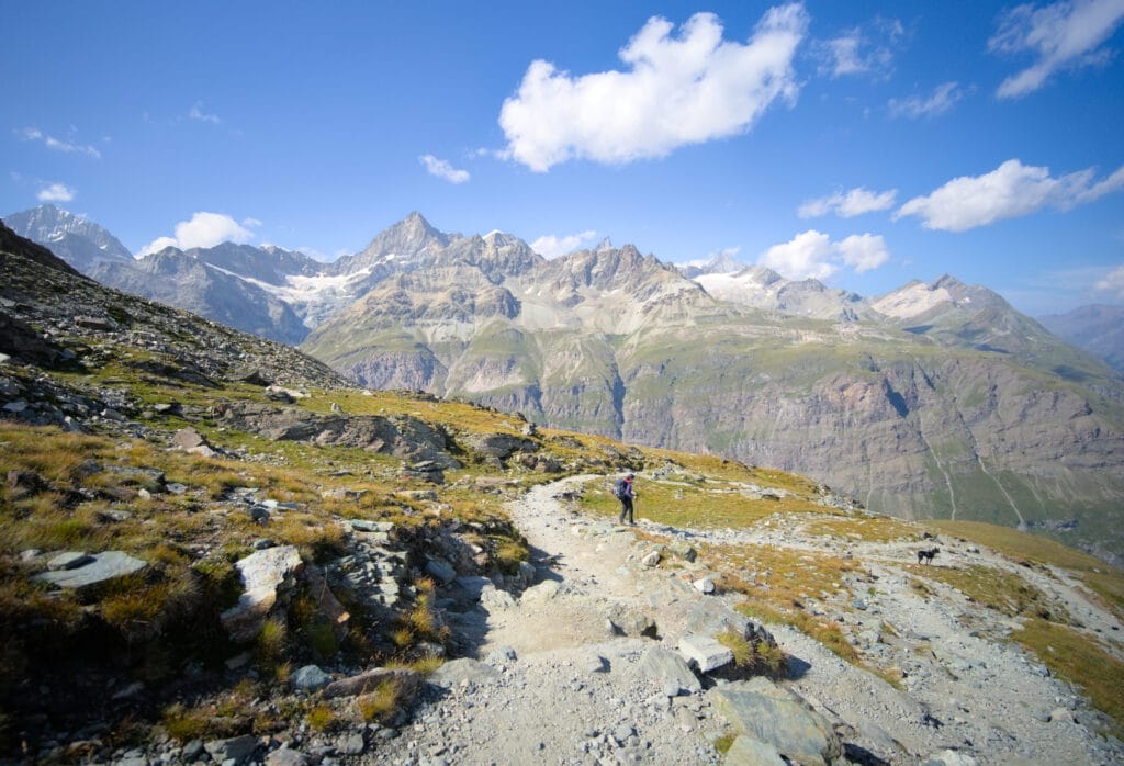
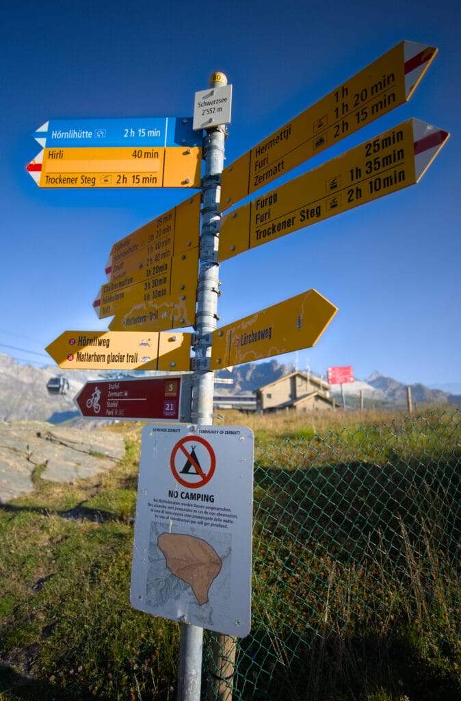
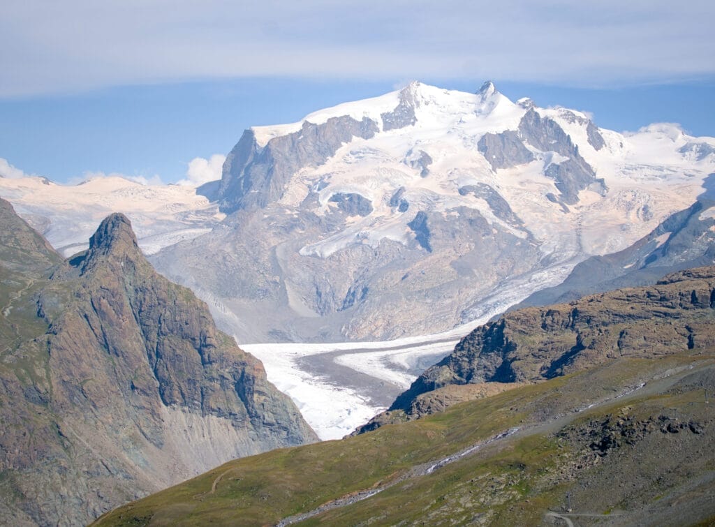
22km and 1500m elevation change (positive and negative) 😉
I’d say that Benoit and I would be the kind of people to actually decide hiking instead of taking cable car (we find Zermatt prices absolutely mind-boggling), although perhaps we’d opt for the slightly shorter version and still take the cabin to Furi (CHF 21 return full fare, CHF 10.5 with the half-fare card). The option of starting from Furi removes 6km and 230m of ascent, bringing the hike to 16km and 1250m of elevation change.
In short, this itinerary can easily be planned to suit your physical condition and/or budget. In all honesty, we left Zermatt with a slight feeling of having seen the “Disneyland of the mountains”, but also forced to admit that the scenery is splendid!
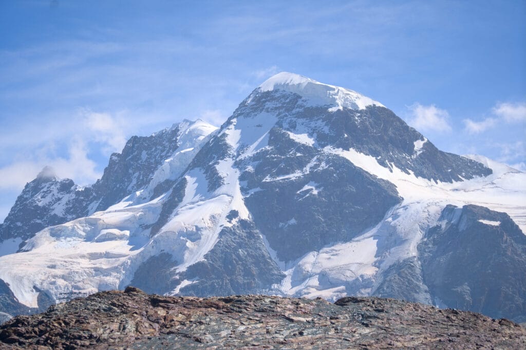
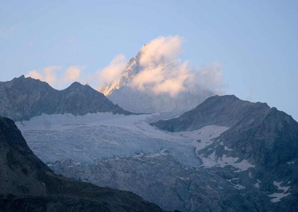
We’re very happy to have been there, but let’s face it, we’re also infinitely happy to be living in the beautiful Val d’Hérens, where the scenery is no less beautiful, but where nature has been kept a bit more intact. 😉
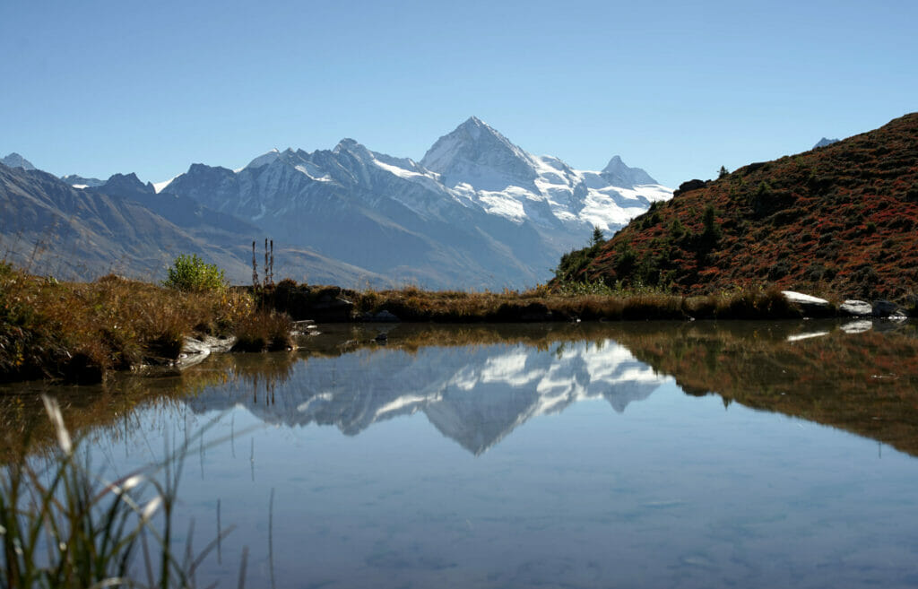
PS: There are plenty of places in the Val d’Hérens from which you can also admire the Matterhorn in the distance and not a single plow (or construction site engine) to be seen. #JustSayin
Small photo of the Matterhorn seen from “home”:
We look forward to seeing you soon for the continuation of the adventures of your 2 little backpackers in Zermatt, and this time we’ll take you for a hike around the 5 lakes (probably Zermatt’s most famous and popular hiking route)!
Pin it


Join the discussion