This summer we took advantage of the excuse of attending Benoit's little sister's wedding to discover a region we still knew too little about: the French Jura! Yes, in Switzerland we also have a Jura, and we know it relatively well from having crossed it on foot, but Jura is not only in Switzerland! Jura is also a stunning area in France that we had only briefly visited previously, meaning this wedding was the perfect excuse to finally explore this area a bit more!
In short, we took advantage of the glorious weather to go hiking in the Haut Jura, also known as the Jura mountains. When we were doing our research for this road trip, I'll admit that the term mountain made me smile a little (the highest summit in the Jura is at 1720m, barely higher than the altitude at which we live year-round haha).
- Arbois - wine, limestone cliffs and waterfalls
- Poligny - the Comté capital
- Baume-les-Messieurs - Hike to the (other) Tufs waterfall
- Les Cascades du Hérisson - the best-known waterfalls in the Jura
- Pic de l'Aigle and Belvédère des 4 lacs - the finest viewpoints in the Jura?
- A touch of Canada at Lac de Bonlieu
- The Billaude waterfall
- The Langouette gorge
- Jura Map - The best things so see in the French Jura
Arbois - wine, limestone cliffs and waterfalls
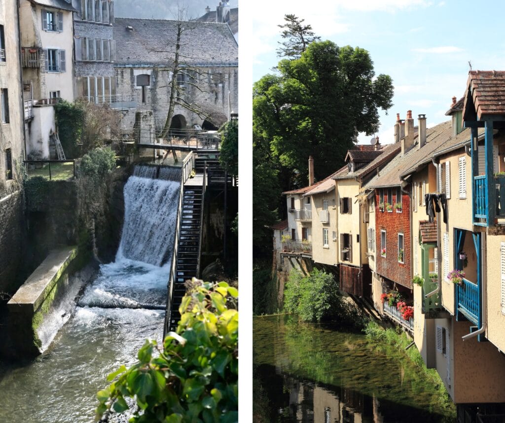
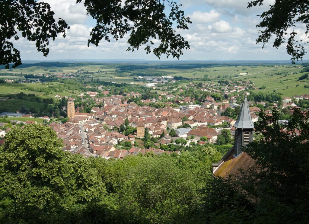
We start our Jura tour in the small town of Arbois. Does the name ring a bell? Well, it's the capital of Jura wines! 🙂 While this may be reason enough for some to stop here, there are plenty of other reasons too!
With its 3,500 inhabitants, the small municipality cultivates its charm through its pretty little squares lined with yellow-ochre-colored houses and mansions, as well as the omnipresent water. It's also known as the place where Louis Pasteur spent much of his childhood. As an adult, he moved away, but kept the family home, in which he even set up a laboratory. Bought by the Académie des Sciences, the house has remained just as Louis Pasteur left it and is now open to the public. More infos about the museum
Hike to the Tufs waterfall - Reculée des Planches
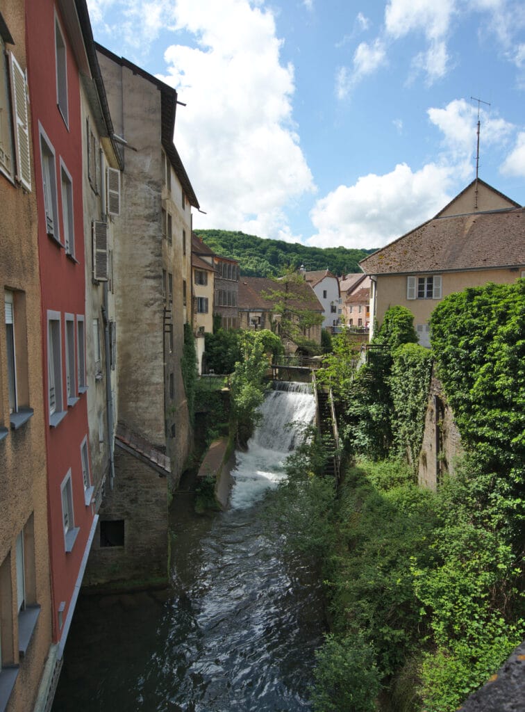
Arbois is also the gateway to a vast reculée known as the Reculée des Planches. This year, we decided to park in the large parking lot just before the small village of Les Planches-près-Arbois and set off for a short stroll towards the Tufs waterfall and the source of the Cuisance. The walk is relatively short and really easy, which also makes it popular with families. Please note, however, that although the crystal-clear waters and cascades may make you want to go for a swim, it is strictly forbidden to get into the water 😉 The site is protected and it's important to follow the recommendations!
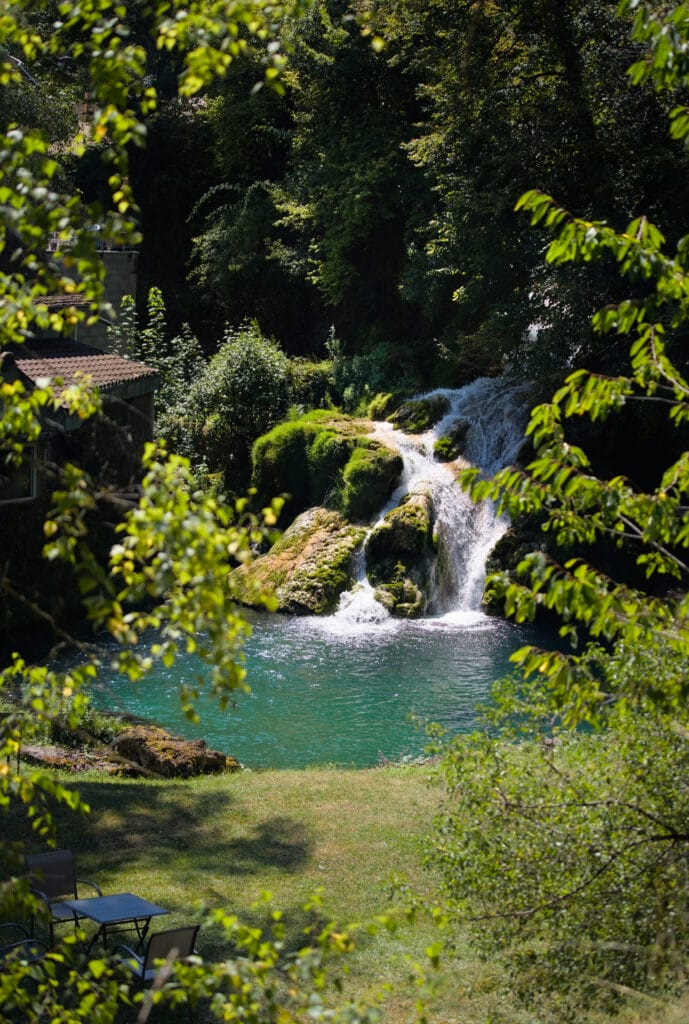
For this walk, we decided to make a loop and started by turning right in the center of the small village. We first followed a small road through a residential area and soon came to a path that runs alongside a pretty waterfall belonging to the Castel Damandre estate (private). We'd love to get close to it, but unfortunately access is restricted to guests of this luxury hotel. If you'd like to stay there (it looks magnificent, by the way), you'll need to pay between €150 and €400 a night, depending on the season.
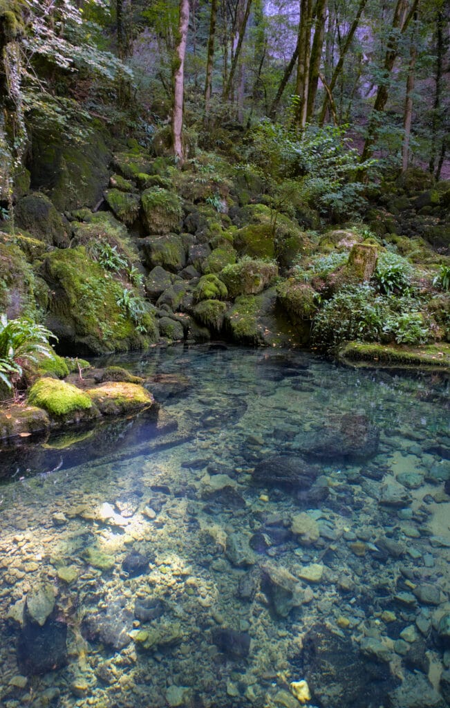
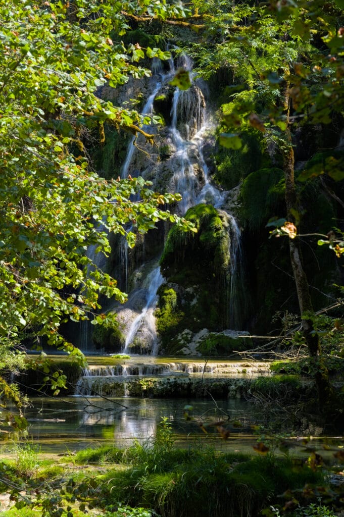
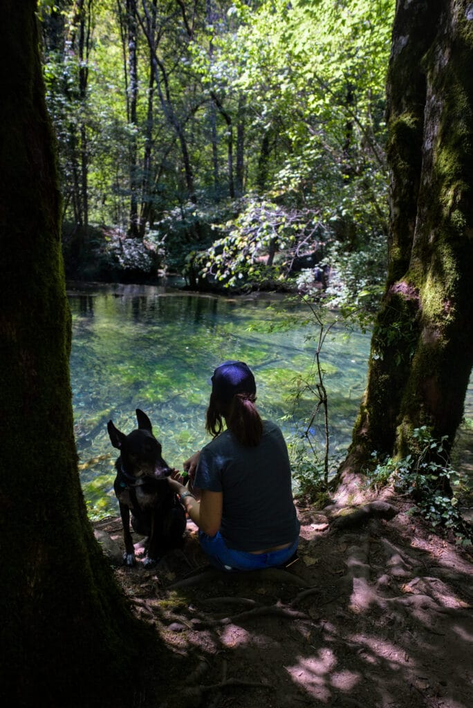
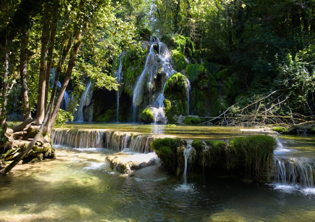
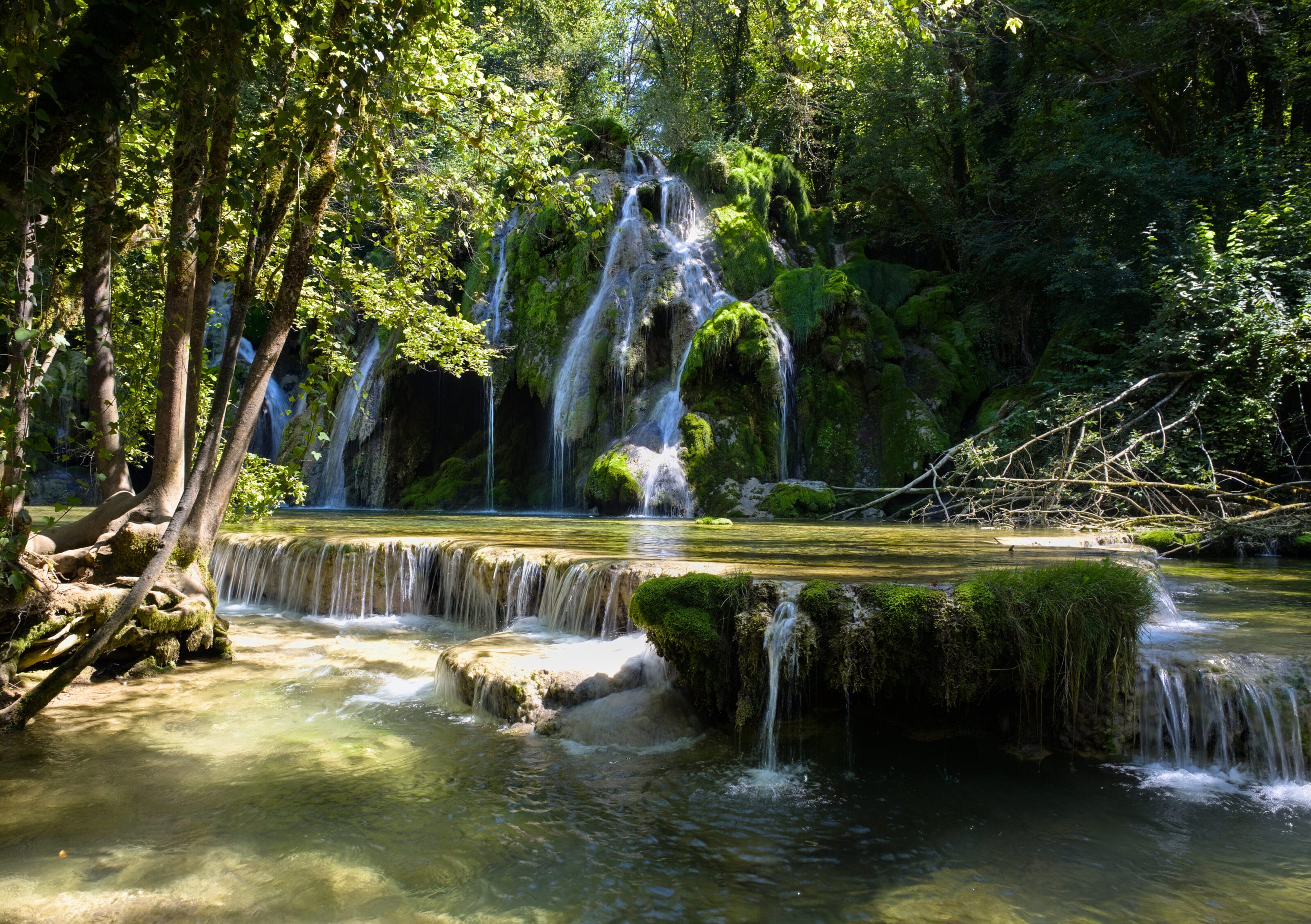
We then follow the Cuisance until we reach the Tufs waterfall. It's a truly magnificent spot, straight out of a fairytale. Many decide to turn back at this point, but if you ask us, it's well worth continuing towards the source of the Cuisance. The color of the water and the many little jumps make this stretch of forest absolutely incredible! It's definitely a mini detour worth taking.
For the return journey, we decided to take the most direct route and returned to the car via the village center. All in all, this little loop is less than 4km long and takes around 1h30 to complete (taking your time for photos).
Hiking map:
Hiking in the heights of Reculée des Planches
If you're coming to the area, there's another hike we can recommend: the path along the rocky bar overlooking the reculée des Planches. We did this itinerary when we were preparing our book "Randos Bière en France" and we have some excellent memories!
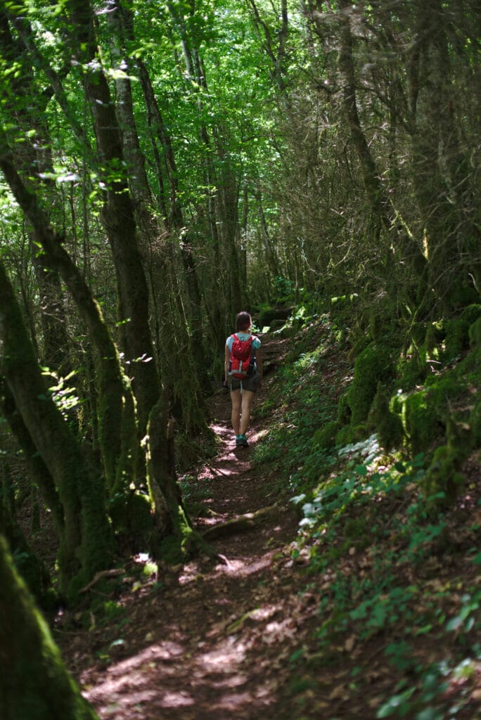
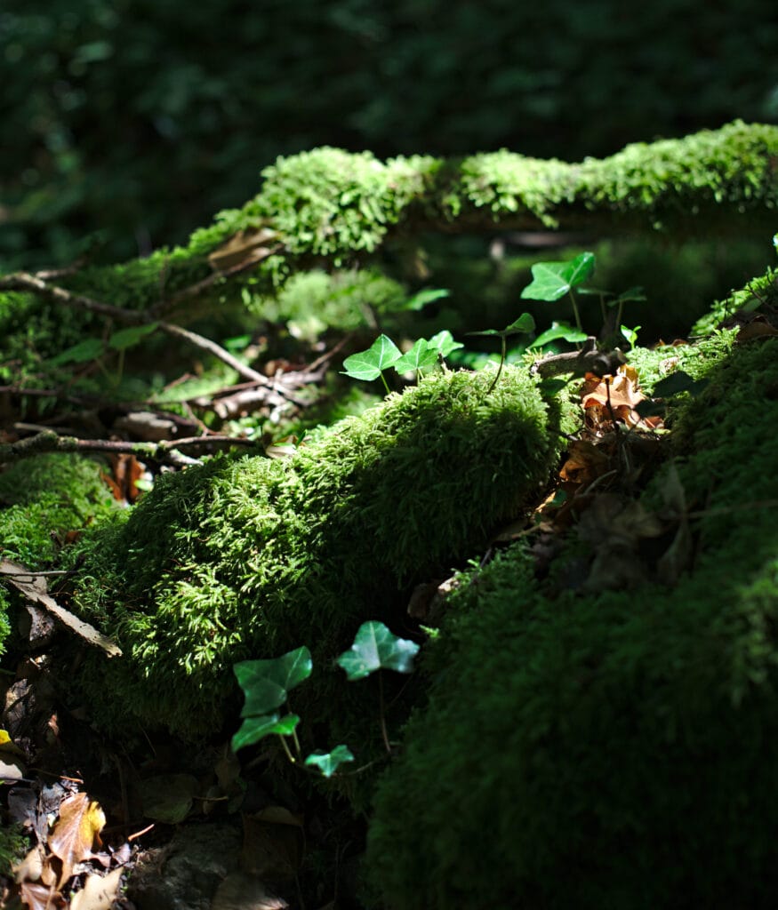
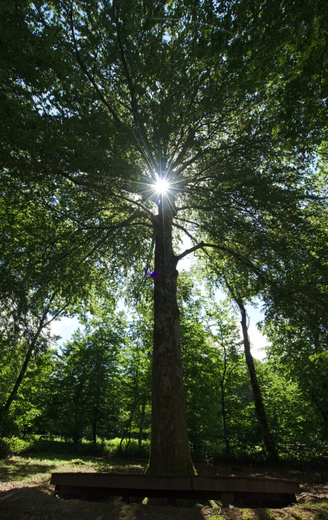
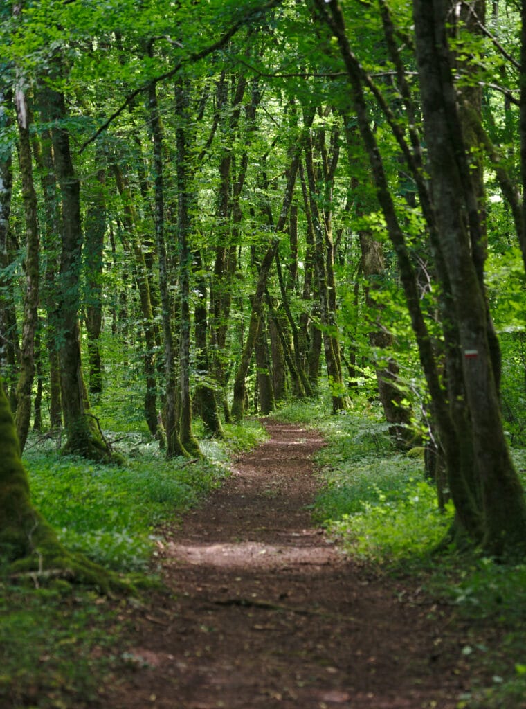
Departing from the center of Arbois, we start by climbing towards the Président beech tree and then continue more or less flat through the forest until we reach the auberge du fer à cheval, where a magnificent belvedere awaits us, offering a spectacular view of the reculée des Planches. At the junction with the Chemin du Vieux Mont, you can make a detour down to see the Cascade des Tufs, but beware: this adds another 3km and a little over 200m of ascent to what is already a relatively long hike. If you're in the area for several days, we'd advise you to do these two itineraries separately, and to stay on the upper slopes for this section. Especially as there are still plenty of nice lookouts along the way 😉
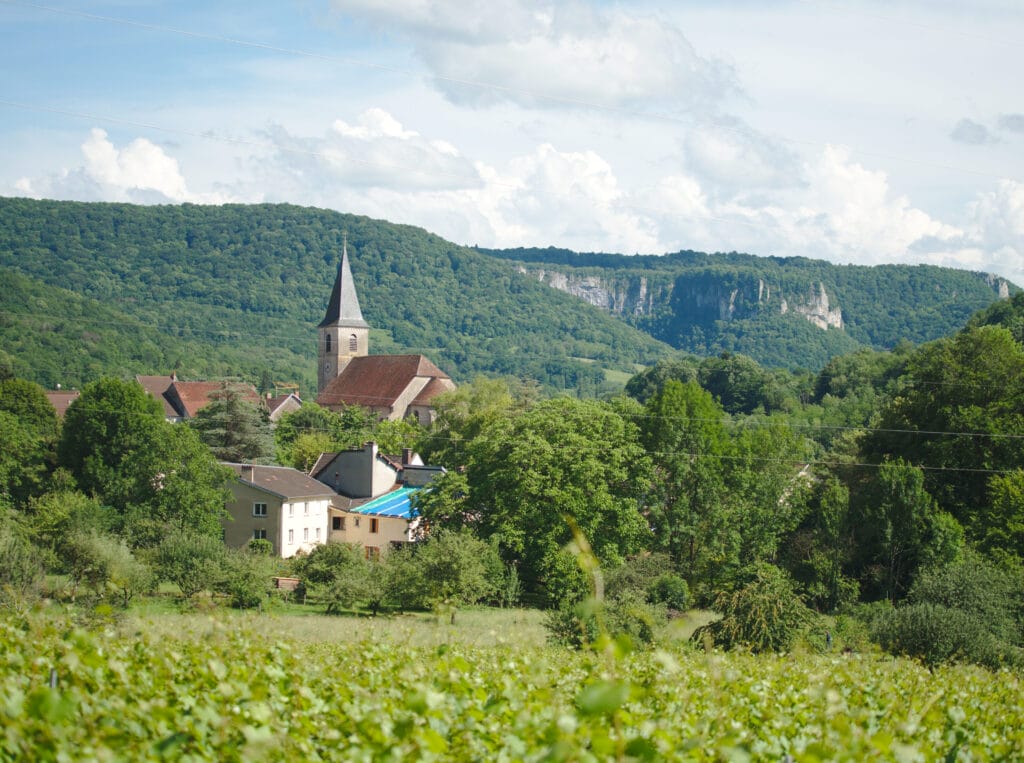
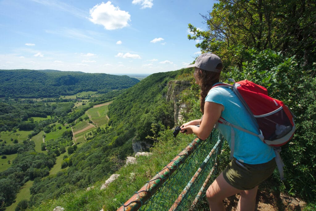
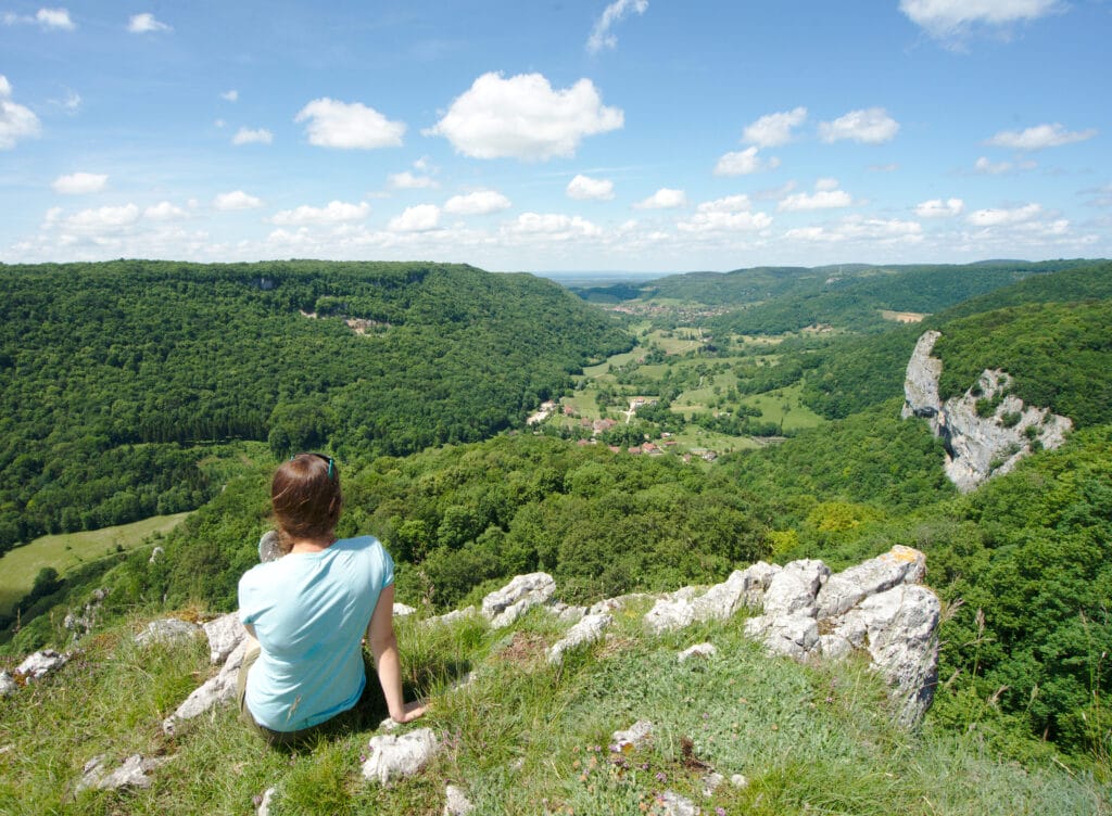
The walk ends in the center of Arbois, where you can relax on one of the many terraces or visit Louis Pasteur's house.

To find out more, we recommend our book Randos Bière en France. In this guide, we've created 70 hiking itineraries across France, all of which have the particularity of ending with a good local craft beer 😉 Of course, the Jura region has many good breweries, and we chose the Franche brewery to accompany this itinerary. The full itinerary is available on page 167 of the guide.
Poligny - the Comté capital
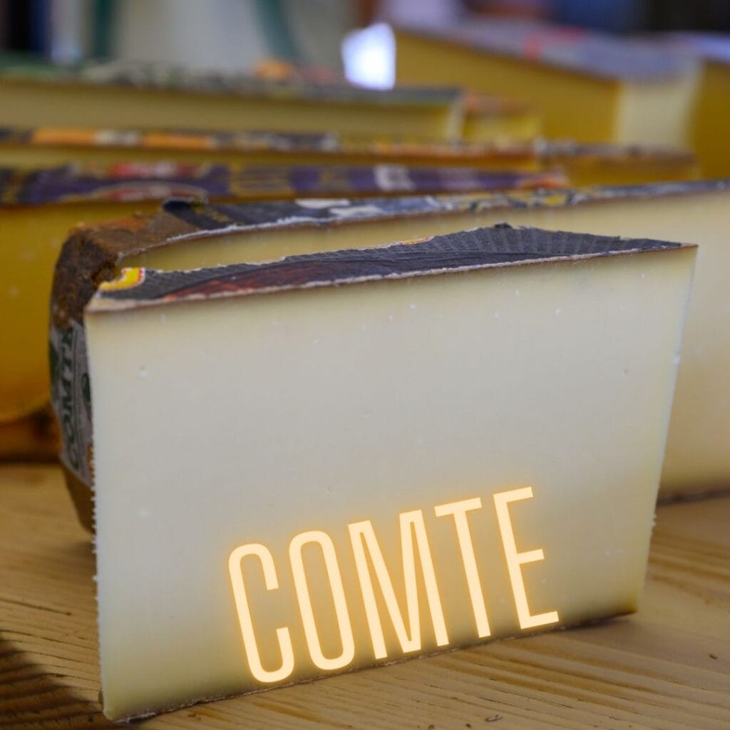
Before attending Benoit's sister's wedding, we made a very brief stopover in the small town of Poligny. If you're ever in the area, we'd recommend a stop here! But not necessarily for tourist reasons (although we have to say the center is very pretty), but to buy a piece of Comté 😉 Poligny is officially the capital of this typically Jura cheese. Some like it full-bodied, fruity or mild, but personally I'd like to say they're all pretty good, and this compliment is coming from 2 swiss cheese lovers.
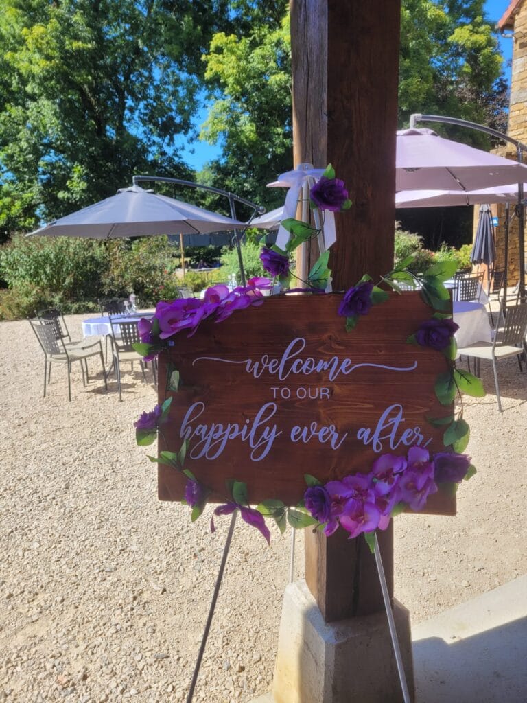
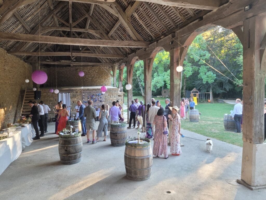
For the wedding, we were lucky enough to spend 2 days at the Domaine de Bersaillin. It's not typically the range of accommodation that Benoit and I choose (once a backpacker, always a backpacker), but if you're looking for a nice place to stay in the region, we recommend it! It's a really beautiful estate with a lovely pool, well-appointed rooms and a great welcome from the owners.
Baume-les-Messieurs - Hike to the (other) Tufs waterfall
And to think that this hike started with a misunderstanding… We were at the campsite and I'd seen photos of a waterfall called Cascade des Tufs. I did a quick Google Maps search and saw that it was right next to where we were staying. Anyway, we got out AllTrails and mapped out a hike. It was only a little later that I realized that the cascade des Tufs that I'd seen in a photo and that had triggered this hike planning was in fact the one in Arbois! 🙂
What an idea to have 2 waterfalls with the same name less than 40km apart! haha
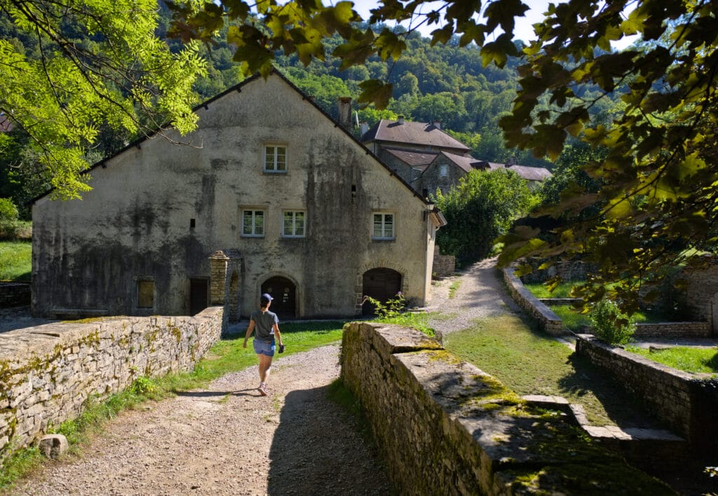
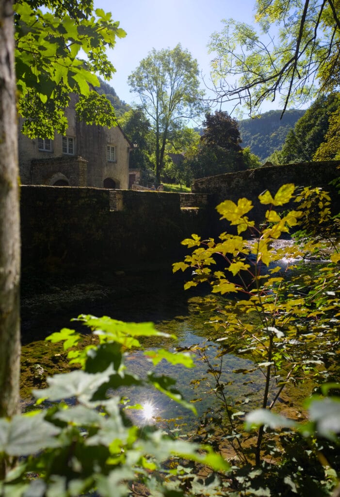
But hey, we'd mapped out the hike, so we might as well go for it, right? Well, let me tell you, I'm glad I was wrong whe picking this hike! The village of Baume-les-Messieurs, the Tufs waterfall and the hike as a whole were really worth it!
The Tufs waterfall in Baume-Les-Messieurs
To visit the waterfall, we decided to park in the small parking lot opposite the Toupe campsite (on the other side of the river). Speaking of campsites, we'd missed this one during our research, but it looked really nice! What's more, it's not very expensive (€19 for a pitch for 2 people with a van or tent in high season). More info on their website
From the parking lot, we set off for the charming village center. We didn't linger too long and went straight for the path behind the chapel of Saint-Roch, which leads directly to the waterfall some 2.5km away.
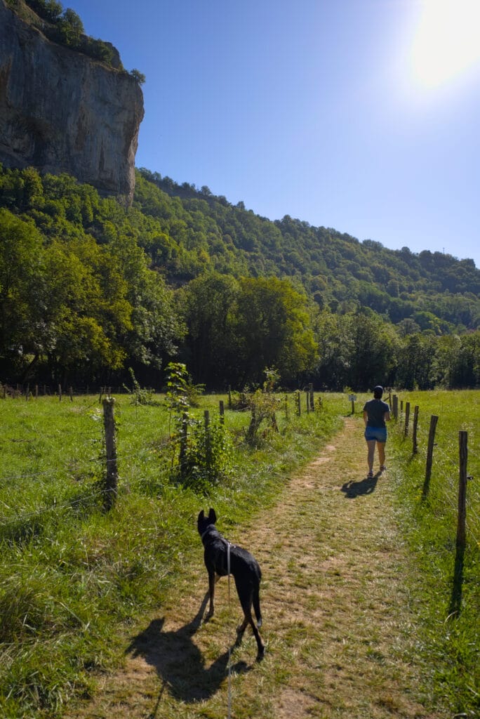
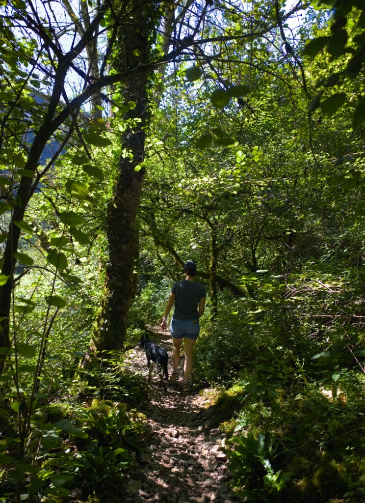
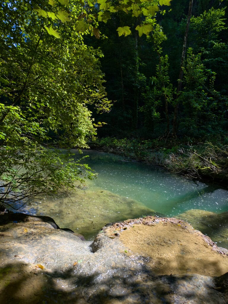
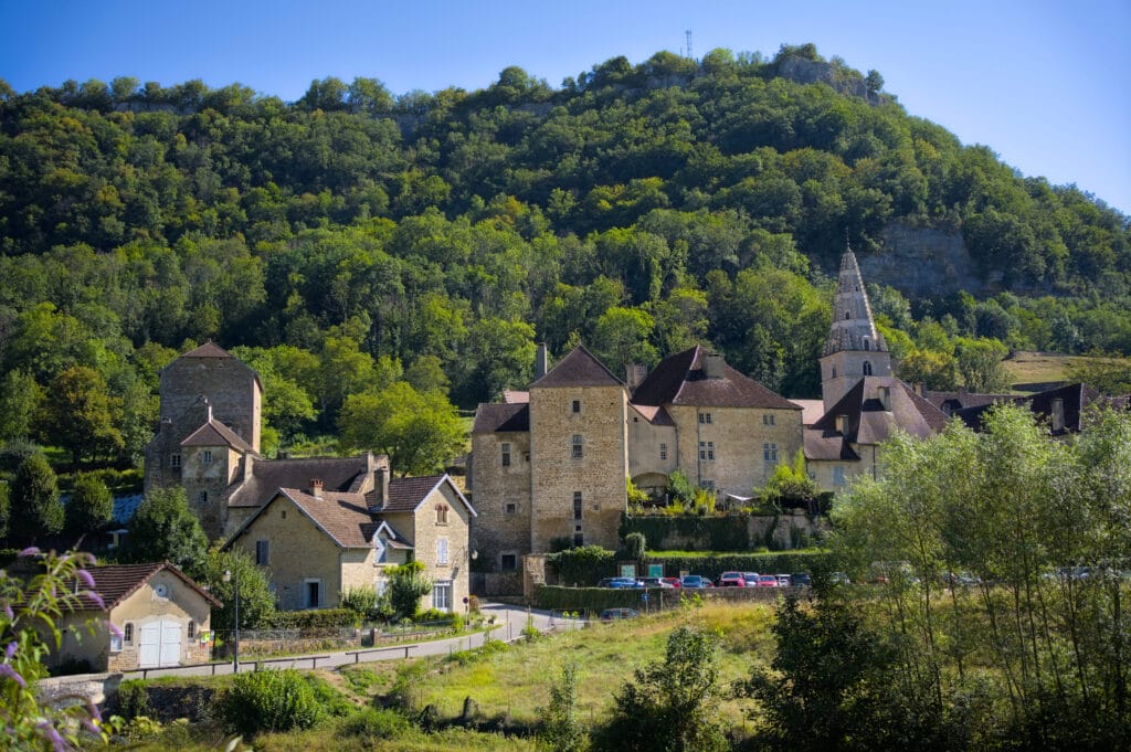
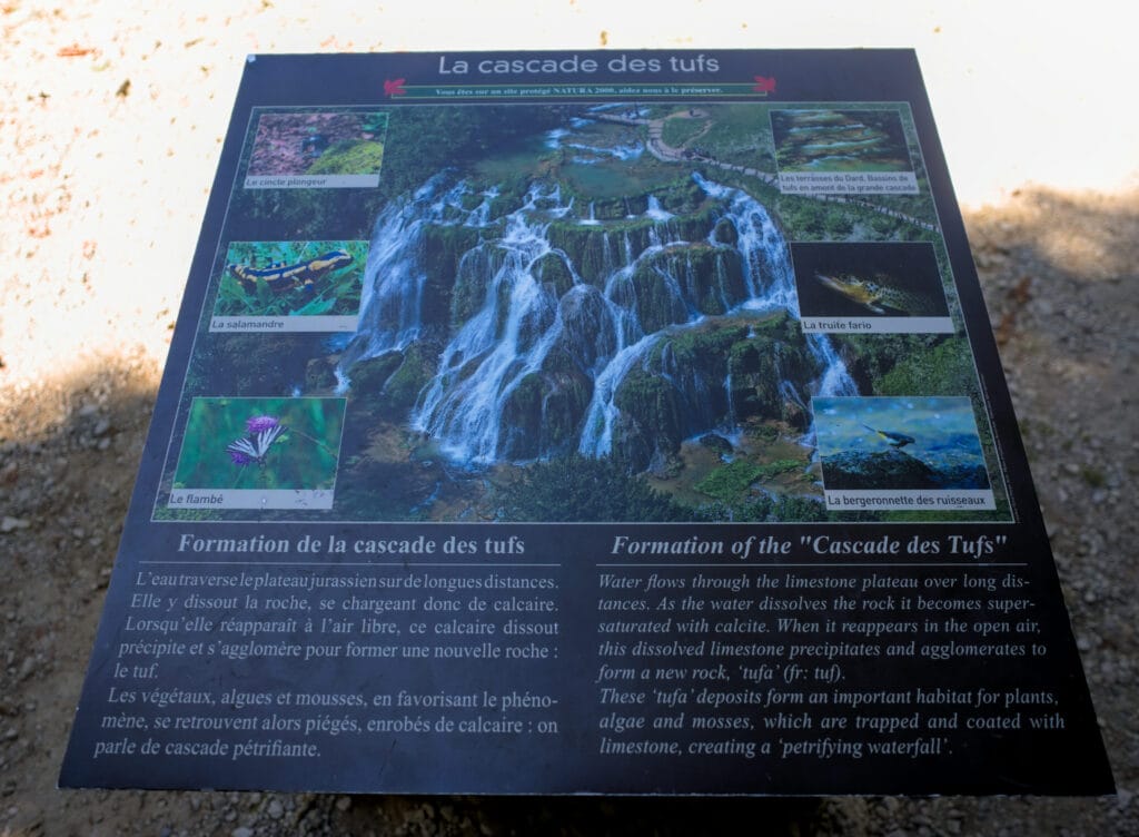
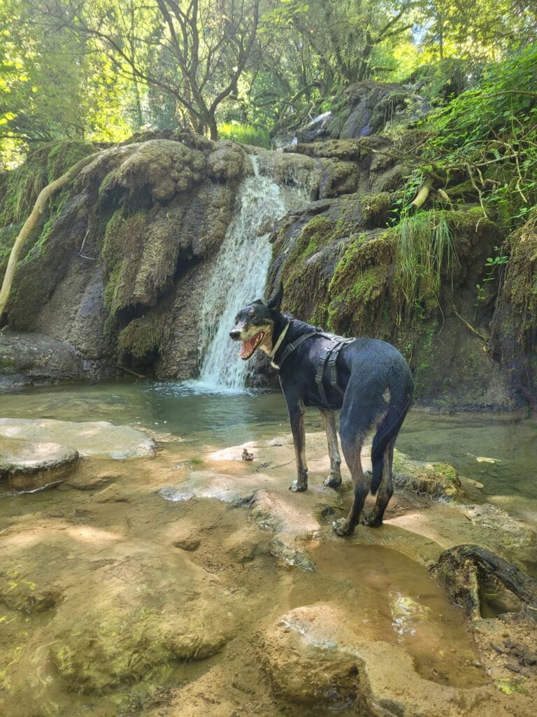
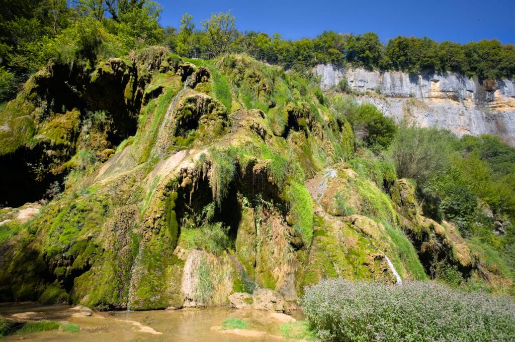
Once I got to the waterfall, it wasn't quite the one I'd seen in the photos (haha), but it's gorgeous nonetheless! After that, having seen photos of the place in spring, it's even more impressive when there's lots of water. July and August are clearly not the best months in this respect… But still, it was very pretty! Several restaurants and terraces on site to quench your thirst.
Return to the village via the Suchot Belvedere
From the waterfall, we climbed up to the caves before continuing our ascent to the Belvédère des Roches de Baume, which offers a lovely view over the valley.
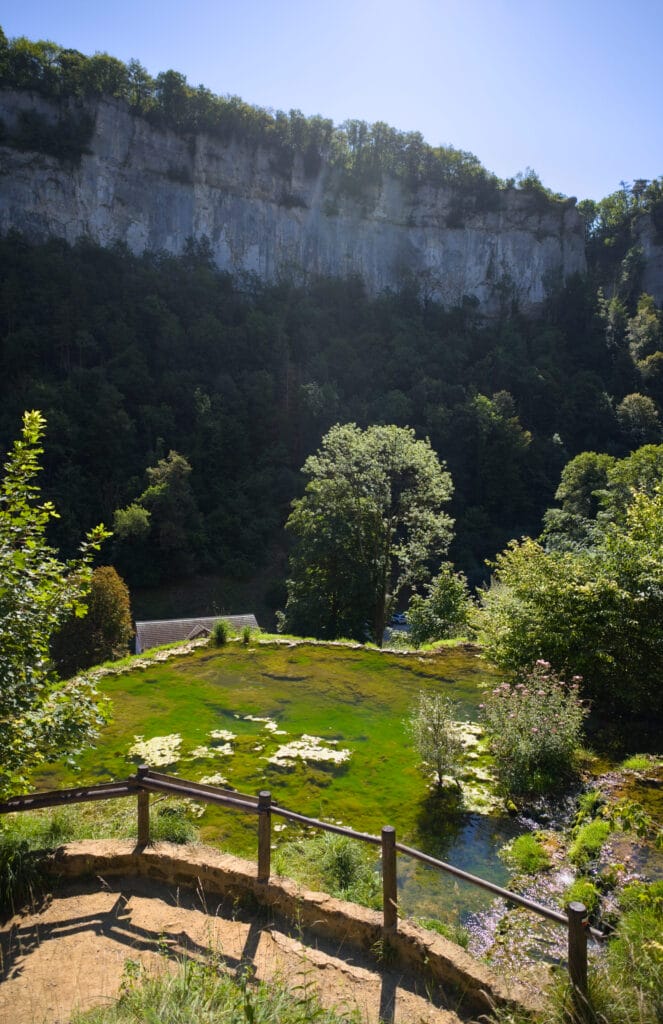
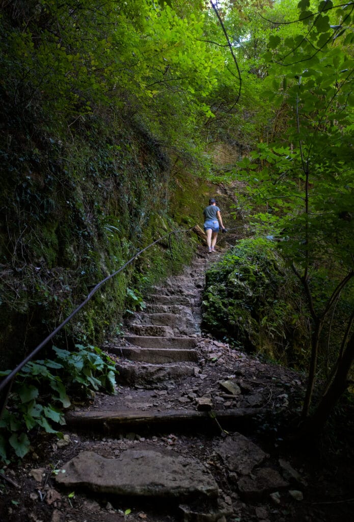
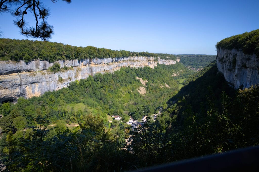
From there, we followed the small road for a while before taking a forest path. The route doesn't offer much of a view (we're in the trees), but it's great to be walking “in the cool” on such a hot day. On the other hand, we did get the view once we reached the Suchot belvedere, a magnificent cross overlooking the valley and the village of Baume-les-Messieurs.
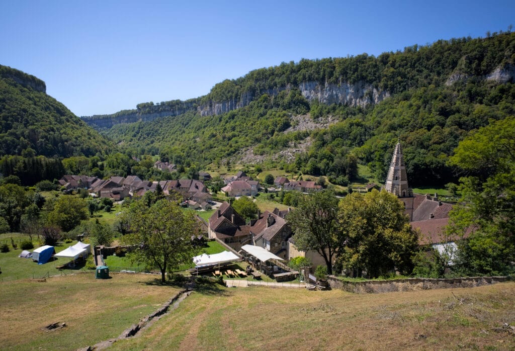
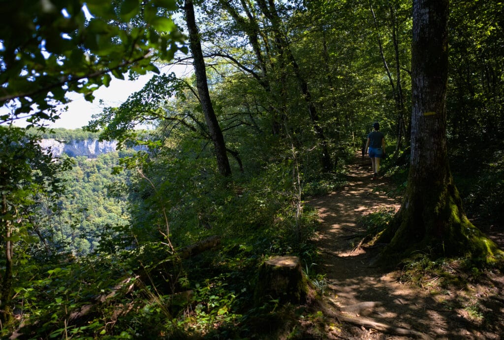
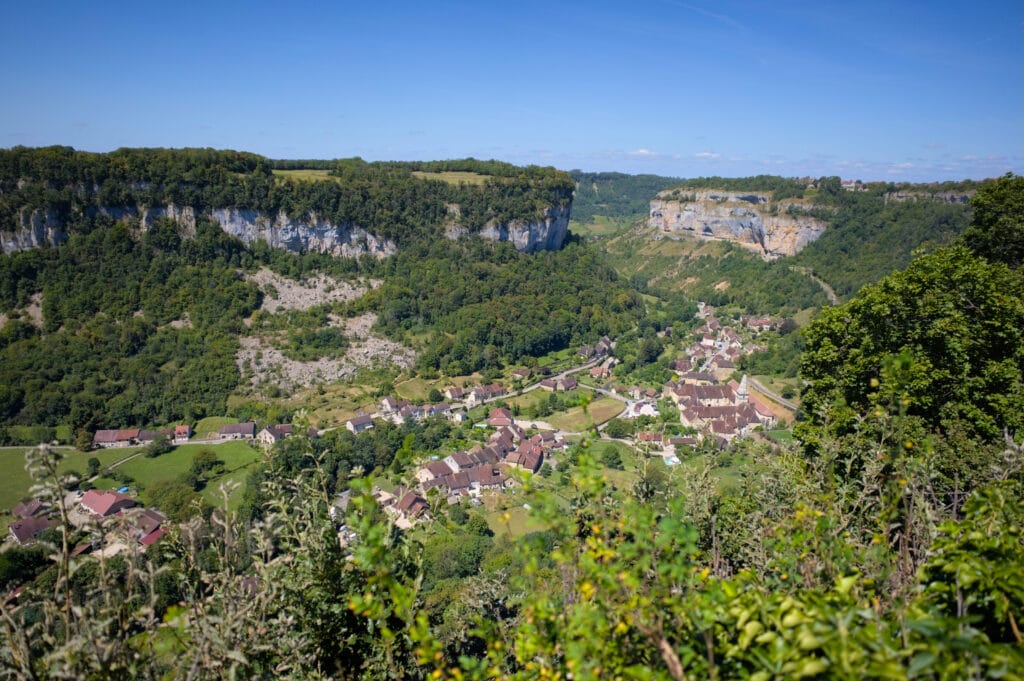
From there, the return to the village and the parking lot was a mere formality. We enjoyed a delicious home-made ice-cream in the main square before setting off again in the direction of the next Jura waterfalls 😉 A great loop that we highly recommend if you come to the region!
Information and map for hiking in Baume-les-Messieurs
The hike is a loop starting from the large parking lot just before Baume-Les-Messieurs.
- Distance : about 12 km
- Elevation : about 500m (positive and negative)
- twalking time: approx. 4h
- Tip: if you have the time, the caves can be a great activity to do along the way! We had the dog (they're forbidden) and so couldn't visit, but no doubt it's fun. The caves are open from April to September and cost €10 per adult and €7 for children aged 6 to 12. Infos on the official website
Before our visit to Baume-Les-Messieurs, we spent a night at the Marjorie campsite. I'd like to say that it's a campsite that did the job for one night. The night cost us 34€ (2 people with a van (no electricity) and a dog). The site is ok, with fairly spacious pitches, but as for the sanitary facilities, I'd say it's a bit more random. While Benoit told me that it was “fine” for the gentlemen, I personally found the women's sanitary facilities really "meh". It's all very old-fashioned, with encrusted grime, and you can see that it's not something that happened yesterday, but rather the weight of the years… After that, I think the toilets are cleaned every morning and I went to shower in the evening, so there's a lot of dirt from the day too. An extra cleaning during the day wouldn't go amiss (or maybe I'm just unlucky with my timing). In short, for 1 or 2 nights it does the job for not too much money, but I won't spend the week there 😉
Les Cascades du Hérisson - the best-known waterfalls in the Jura
When researching the Jura region online, and more particularly the Haut Jura, it's impossible not to come across recommendations to go to the cascades du hérisson. Admittedly, we were a little hesitant, as the places listed everywhere are often a little too crowded for our liking… But then we realized that it also looked pretty good, and that if we left early we'd still be able to enjoy the place without too many people.
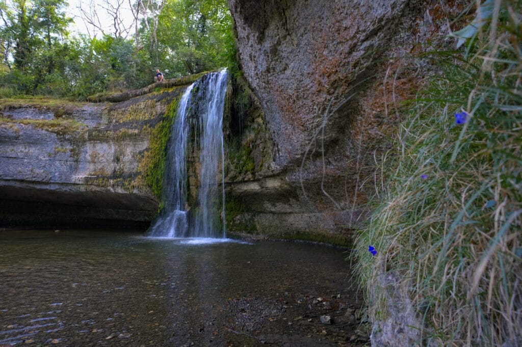
Honestly? Good for us! We loved this hike, and that's why we decided to tell you all about it (one more article mentioning it ;)) Seriously though, it's easy to see why the site is so popular: it's truly splendid!
After that, I think it's even more impressive to come here in spring or autumn when the waterfalls are even fuller. We were relatively lucky, as there was still some water, but there's no doubt that it's even more magical when the flow is stronger.
I think we've officially come here at the worst time of the year (week of August 15, great weather, heatwave). We decided to start the hike early (8am) and were pleasantly surprised by the “crowd”. It was obviously a bit crowded, but we didn't find ourselves in a human tide either.
On the other hand, we came back in the middle of the afternoon (at the end of our loop), and that's when we saw how crowded it could be… In short, if you come during the vacations, we advise you to get up early and do the hike in the morning.
Hike to discover the Hérisson waterfalls
To visit the Hérisson waterfalls, you can make a round trip along the river (from the Maison des Cascades to the Saut Girard). The round trip takes 7km and involves a 300m ascent.
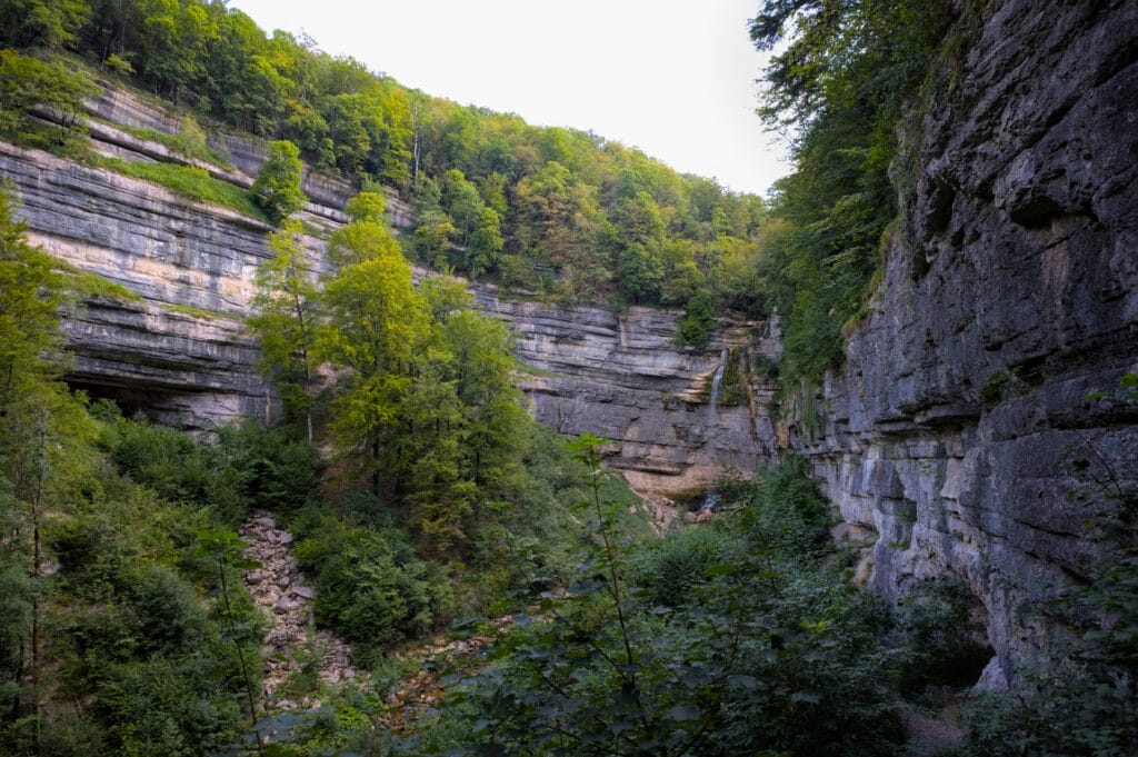
But if you read us from time to time, you'll know that round trips are not our favorite… If there's a way to make a loop (even if this means adding a few kilometers), we're usually up for it. And that's exactly what we did 😉
To tell you the truth, we even decided to extend the loop by setting off directly from our campsite (Camping de l'Abbaye) so we wouldn't have to worry about finding a parking space (which can be a bit tricky during the vacation season around the waterfall).
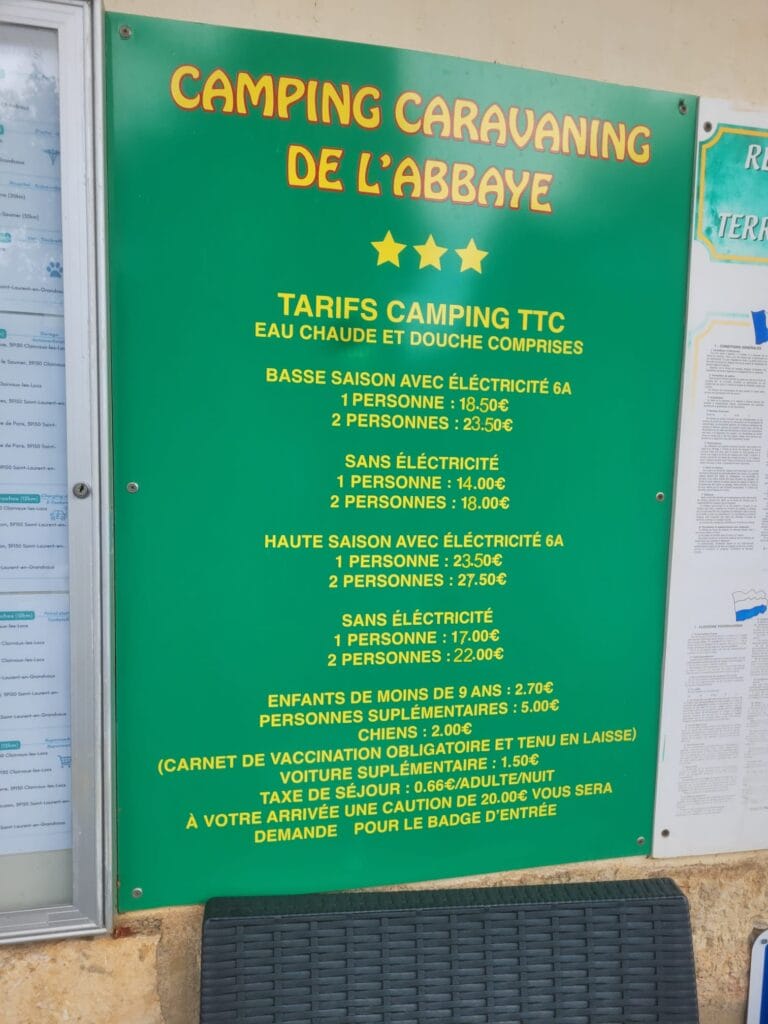
For the second part of our road trip, we spent 2 nights at Camping de l'Abbaye. We thought it was a great campsite! The only drawback is that the pitches aren't very flat, and we obviously hadn't brought our wedges 😉 But otherwise, the price is very reasonable for the region (we paid 50€ for 2 nights for 2 people with a van and a dog, no electricity). Frankly, for 25€ a night, we had clean showers and toilets and above all, peace and quiet 😉 Towards Clairvaux, there are camping clubs where there are far more activities and entertainment (swimming pool, slides, etc.) but where the night costs more than 50€. As far as we're concerned, we still prefer the simpler, less “vacation club”-oriented campsites.
From the Abbaye campsite to the Maison des Cascades (via the Cascades du Hérisson)
Leaving the campsite, we chose to follow the forest track rather than the D678. This variant is a tad longer, but infinitely more scenic and also safer (it's not very safe to walk more than a kilometer on the side of the main road).
Once we reach the small parking area, we follow the signposts down to Saut Girard and start to follow the river downhill. For around 3km, we pass 31 small jumps and waterfalls. The trail is perfectly laid out and safe, but we still recommend wearing real sneakers/hiking boots. We came across people wearing little sandals, and it didn't seem easy for them to walk on the stones, which were sometimes made slippery by the humidity.
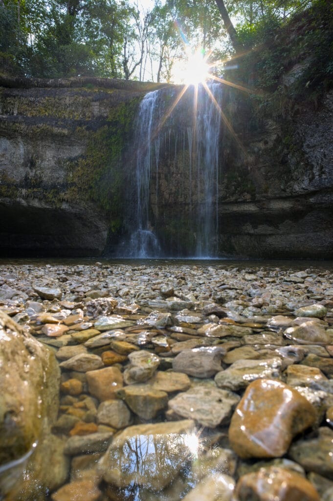
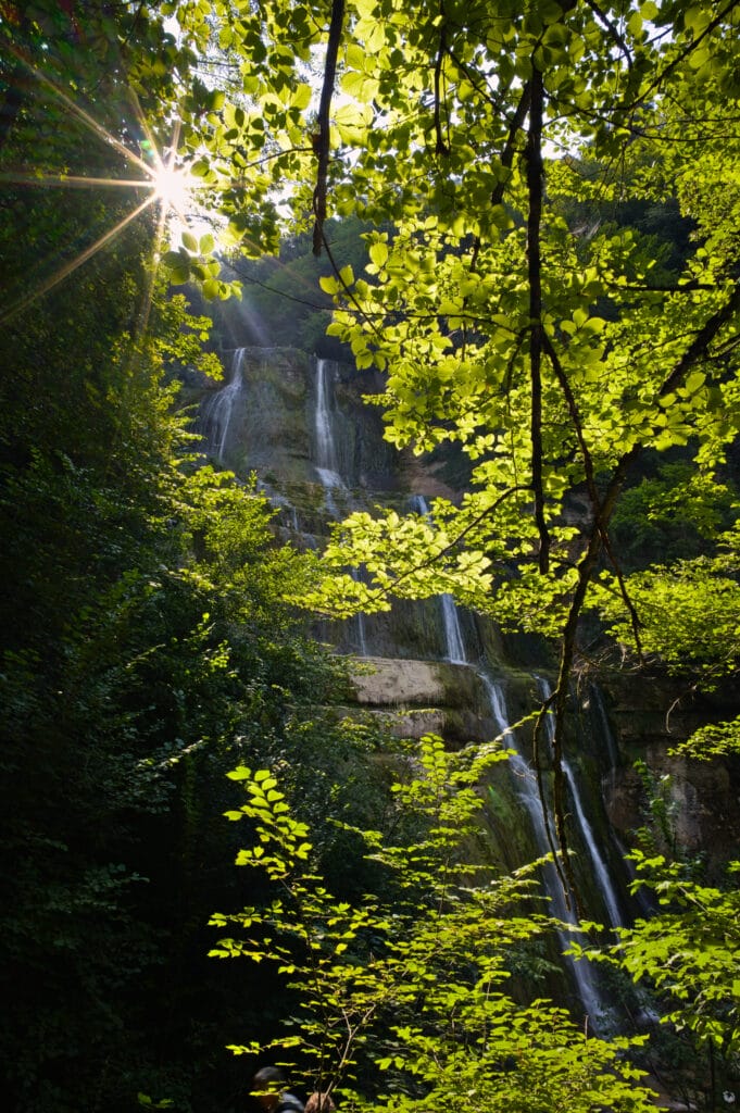
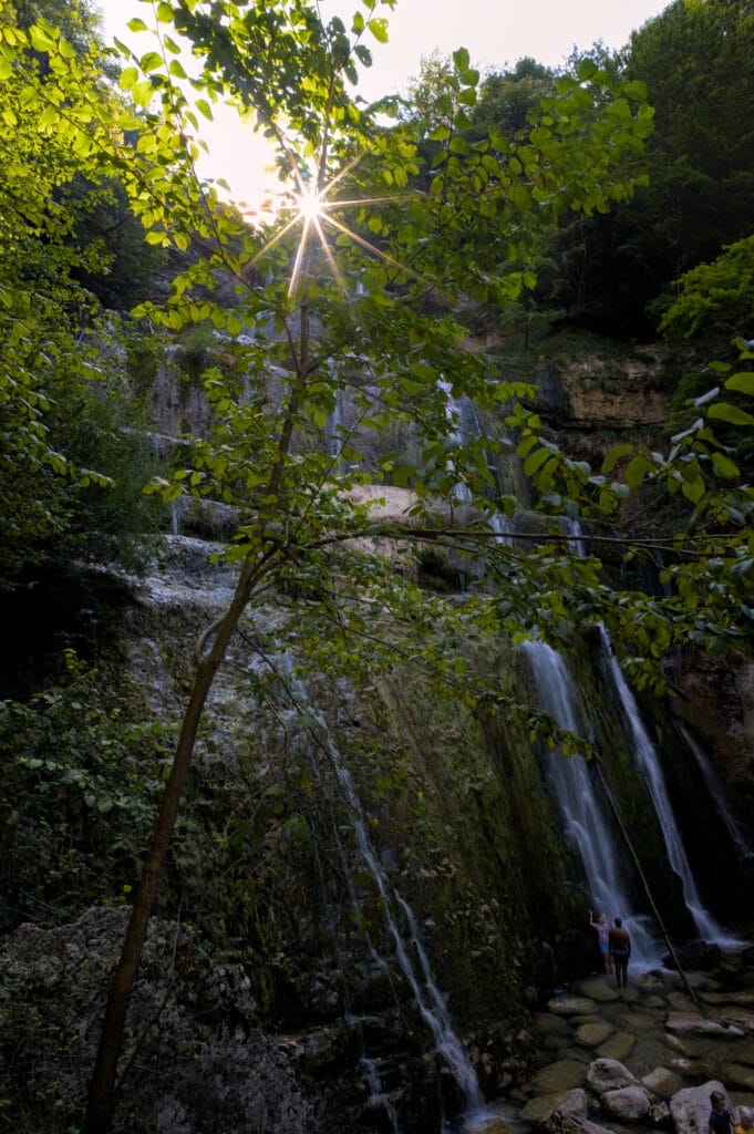
Arriving at the waterfall house, we took advantage of the small terrace for a coffee break in the shade before starting the second part of the hike.
Return via the belvedere de l'Eventail
From the relais de l'éventail, we take the wide path that climbs very steadily on a gentle slope the 120m to the village of Menétrux-en-Joux.
From the village, we start crossing the top of the rocky bar in the direction of the belvedere de l'Eventail. The path doesn't offer particularly impressive views, but it's very pleasant nonetheless. You're in the forest the vast majority of the time (which is very pleasant on this hot day) and above all, you're completely alone. On the upper part of the trail, we'll have come across no more than fifteen people over the 8km!
The Belvédère de l'Eventail is a nice spot with a bird's-eye view of the waterfall of the same name and the valley.
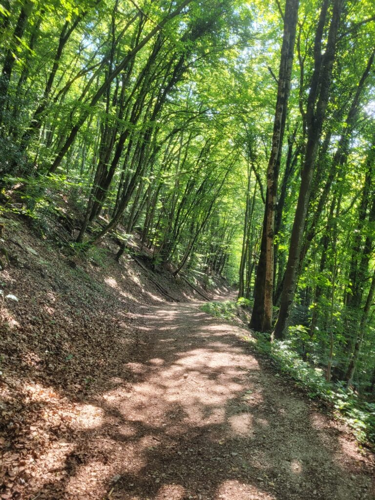
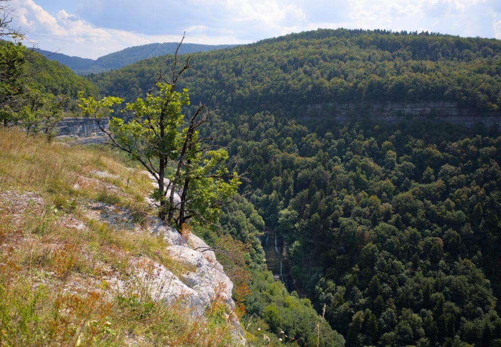
From the lookout, we start the gentle descent back to the “Château Garnier” jump we passed on the outward journey, and from here we follow the same route as earlier in the day back to the parking lot.
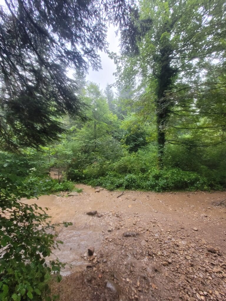
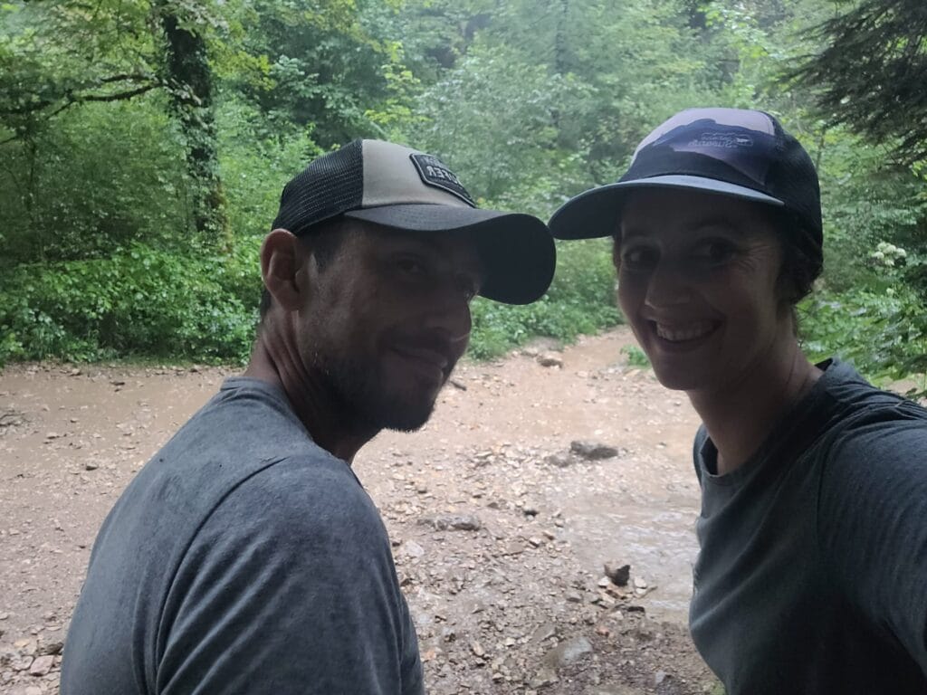
PS: be smarter than us and always check the weather forecast… Used to always leaving prepared for a potential thunderstorm when hiking in the Alps, we lost all our reflexes in the Jura hills 😉 We learned our lesson, because 4km from the finish, we were surprised by a pretty strong thunderstorm. We took shelter under the trees for a while, but let's face it, a rain jacket wouldn't have gone amiss haha!
Practical information on the “Cascades du Hérisson” hike
- Start and finish: Camping de l'Abbaye, Bonlieu
- Distance : 17.2 km
- Elevation : about 520m
- Walking time: count on 4h30 walking time. In all, it took us around 6 hours with breaks and photos.
- Shorten the walk: You can park at the official waterfall parking lot (behind the Maison des Cascades - parking charge €15 per day) or at the small parking lot on the D75 towards Ilay (free but few spaces).
- To avoid the crowds, we recommend setting off early and doing the loop in the direction that will take you to the waterfalls first.
Pic de l'Aigle and Belvédère des 4 lacs - the finest viewpoints in the Jura?
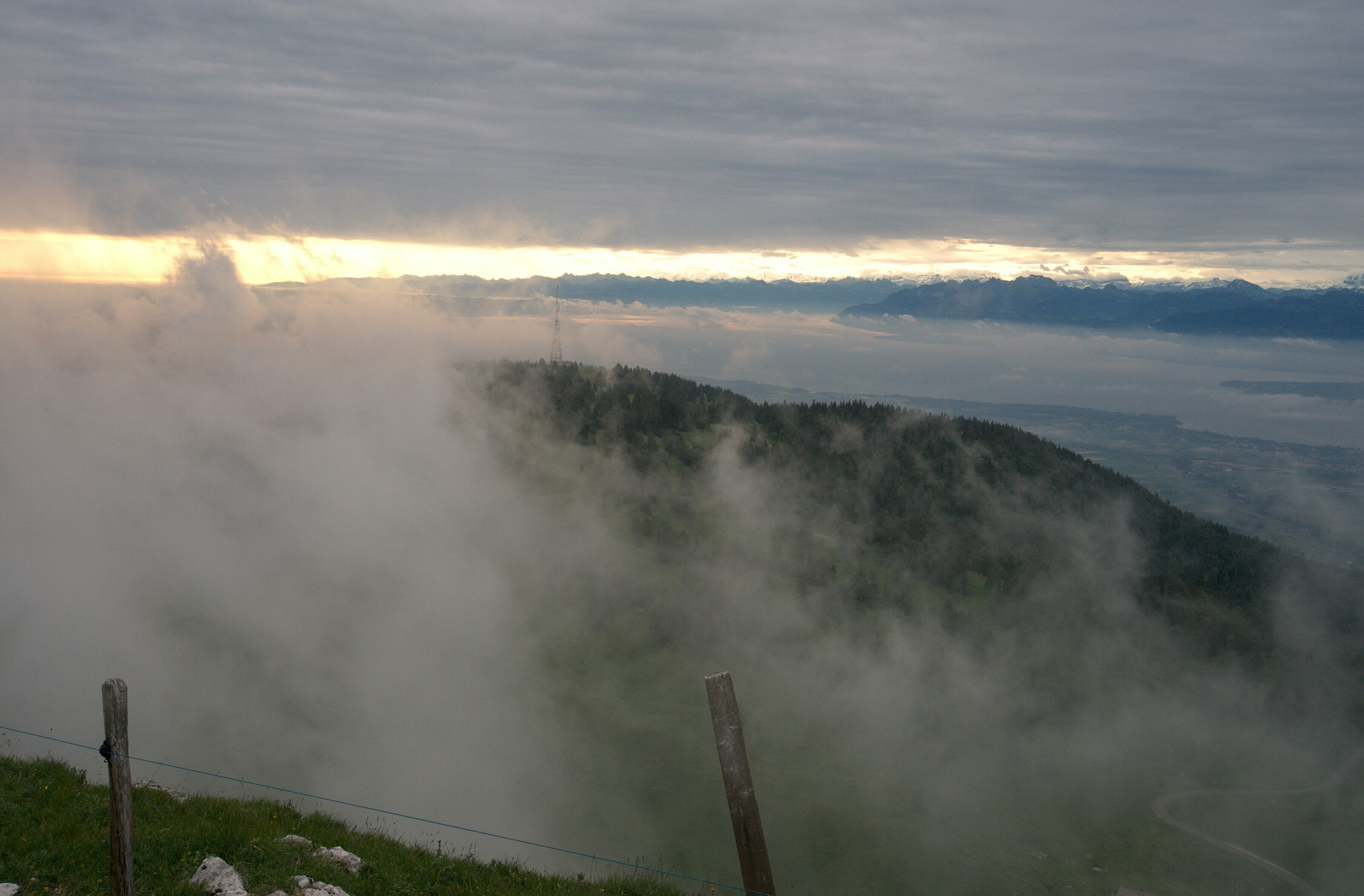
The Pic de l'Aigle and Belvédère des 4 lacs hike is a classic in the Jura mountains, and it's without the slightest hesitation that we also recommend this itinerary! It's perfectly possible to simply drive to the two different viewpoints (the Pic de l'Aigle does require a bit of a climb), but if you've got the time (and the legs), we can't recommend this pretty 9km loop enough.
Pic de l'Aigle
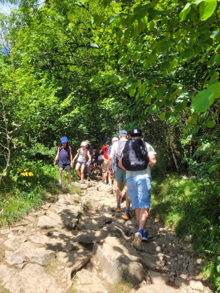
We started the hike from the Pic de l'Aigle parking lot, just off the D678 (just before the village of Les Rollets). We'll be honest, when we arrived at the parking lot we were a bit scared… not a parking space left and a crazy crowd attacking the climb! After a few metres, however, we began to put things into perspective… It's crowded, but it's the first belvedere that's the most popular (I think a lot of people make the round trip from the parking lot).
The ascent to the Pic de l'Aigle is really quick and relatively easy (I say relatively because for us it was a formality, but as it's a popular spot, we also met quite a few people for whom it didn't seem so obvious). 700m of distance and 100m of ascent, we'll let you make your own calculations according to your walking habits 😉
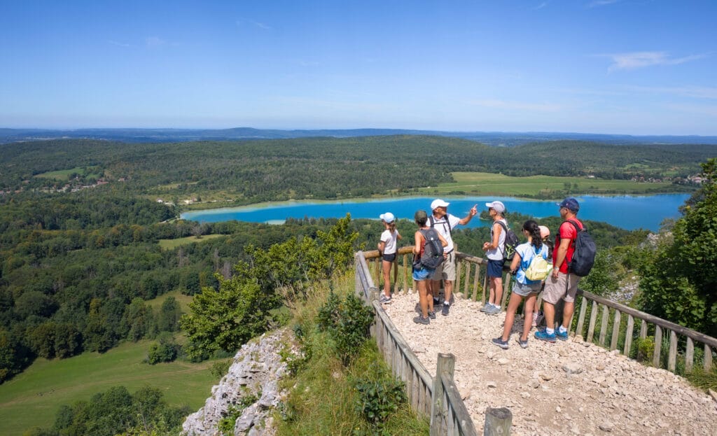
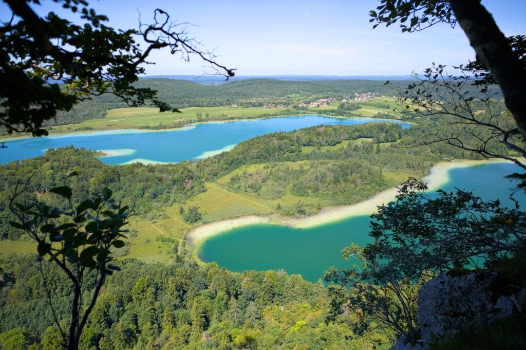
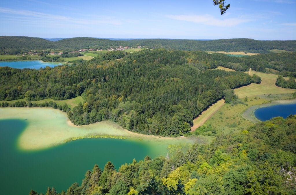
The view from the Pic de l'Aigle lives up to its promise! Barely over the last few steps of the climb, you arrive on a platform offering a magnificent view of the lakes below and the Jura “hills”.
The belvédère des 4 lacs
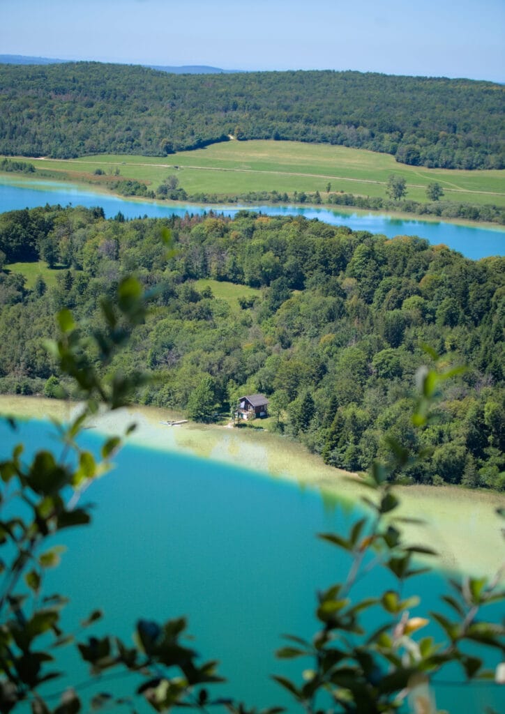
From the viewpoint, the walk continues along the rocky bar.
The trail is well maintained relatively wide, and above all it's quite shady. Coming here in the middle of a heatwave, we were quite happy to be in the trees. About 1.5 km after the Pic de l'Aigle, we come to the first lookout point, called “Belvédère des 3 lacs” 😉 The view is quite similar to that from the 4 lakes lookout, but as you might have guessed it already, you can only see 3 of them! Haha, at least the choice of lookout names wasn't too complicated.
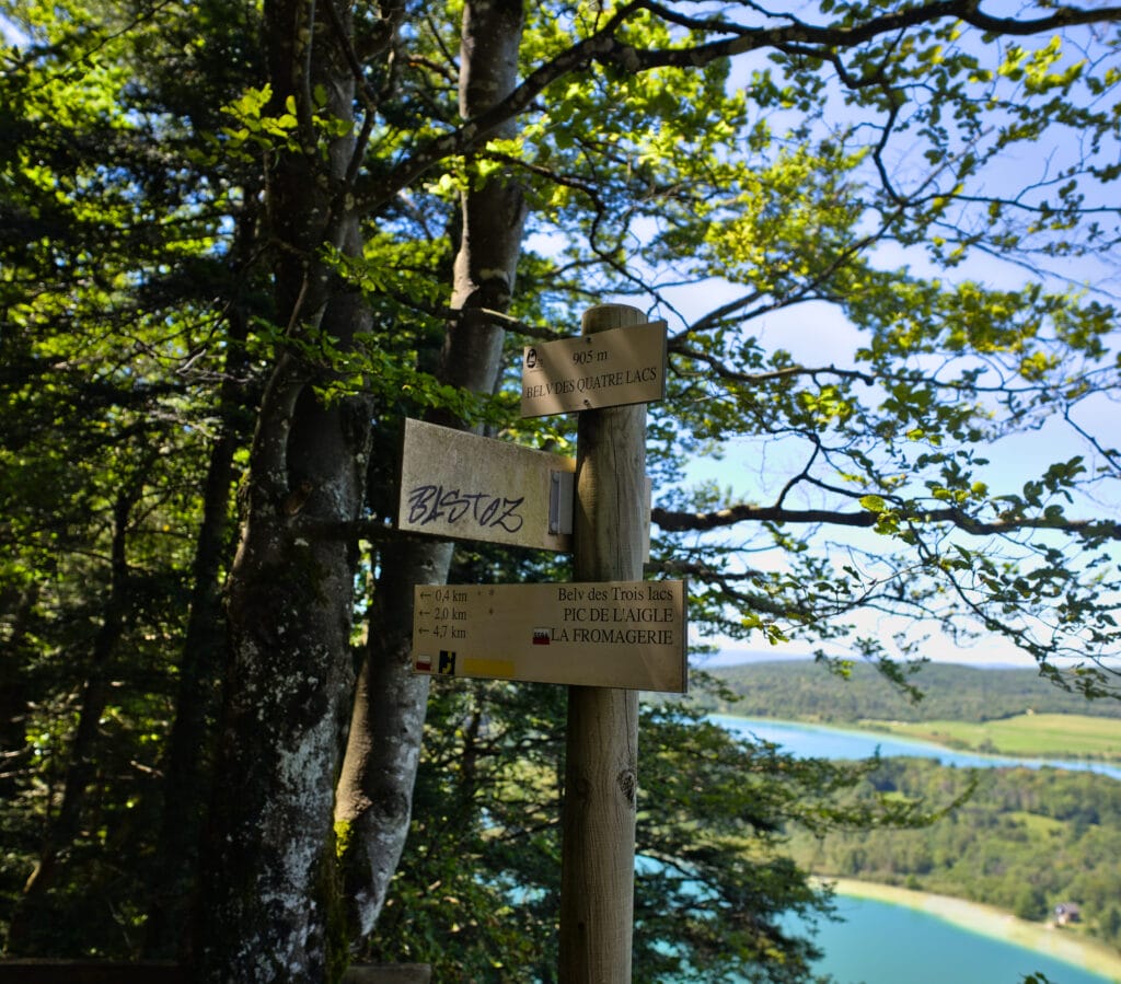
The 4 lakes lookout is 400m further on, and this time you can see Lac d'Illay, Lac du grand Maclu, Lac du petit Maclu and Lac de Narlay. From the lookout, the trail continues for a while along the rocky bar before plunging down towards the parking area for Lac du Petit Maclu. This is the only section I'd describe as a little more difficult. It's not technical at all, but let's just say that it's better to have sneakers on your feet and not sandals (we saw some people with these kind of shoes… and let's just say it didn't look great haha).
Return to Pic de l'Aigle via the shores of Lac du Grand Maclu
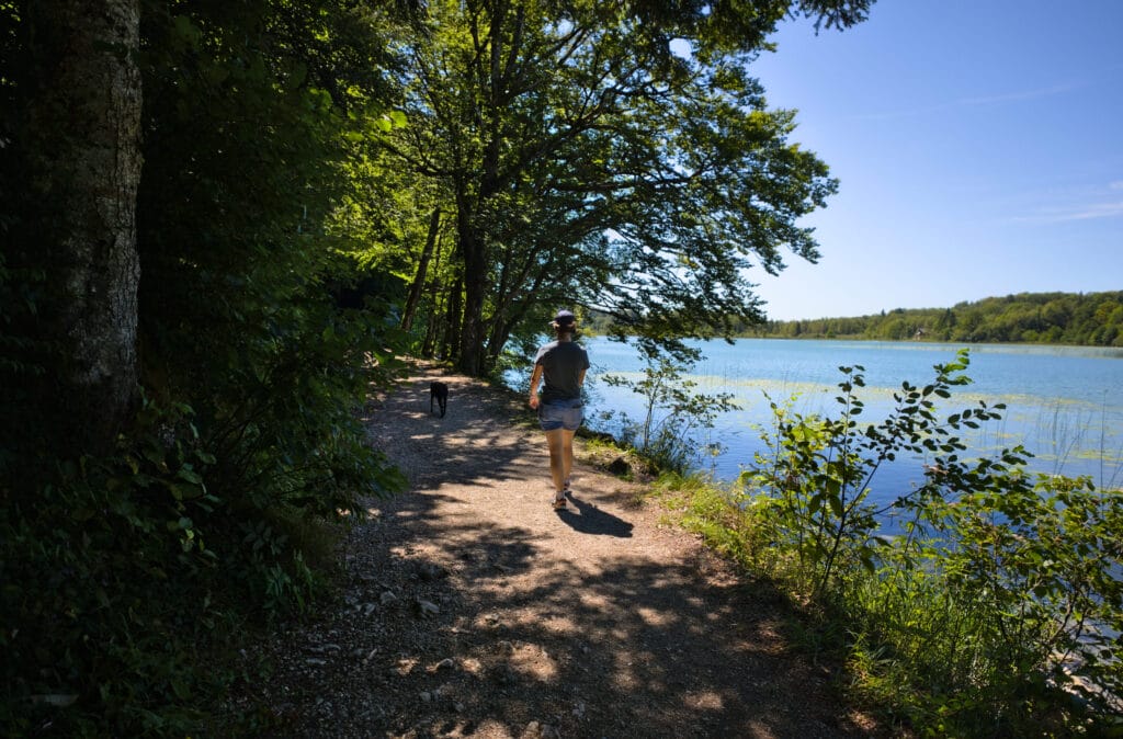
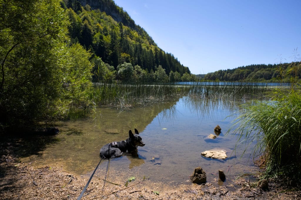
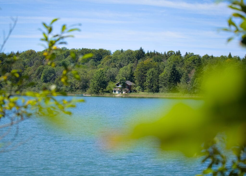
Once at the lakeside, we start by following the shoreline of the two lakes and then take a forest path to reach the Saint-Vincent chapel. The last 1,200m (in distance) consists of climbing the 120m to the parking lot along a path that cuts through the twists and turns of the road in several places.
Practical information for Pic de l'Aigle and Belvedere des 4 Lacs
This hike is relatively easy and accessible to all (several families with young children were also doing the loop). The only condition? To be able to walk 9km 😉 )
- Distance : 9km
- Elevation : about 360m (positive and negative)
- Walking time: officially, it takes around 3h to 3h30 to complete the loop. But with the many viewpoints and picnic breaks, it's best to plan a little longer. We took around 4h30, taking our time.
- Parking: we parked at the Pic de l'Aigle parking lot. In the holiday season, it was very busy (we were lucky to arrive when someone was leaving). But as the itinerary is a loop, it's perfectly possible to park elsewhere. A parking lot is available at the belvedere des 4 lacs, another at the edge of the lac du petit Maclu, or there are a few spaces at the edge of the D39 on the way up to the Pic de l'Aigle.
Hiking map for Pic de l'Aigle
A touch of Canada at Lac de Bonlieu
As we were staying at the Abbaye campsite, we decided to take Winchy for a morning stroll in the direction of Bonlieu lake (1km from the campsite). Admittedly, we didn't have any particular expectations - we just wanted to stretch our legs (and the dog's) a little before heading home.
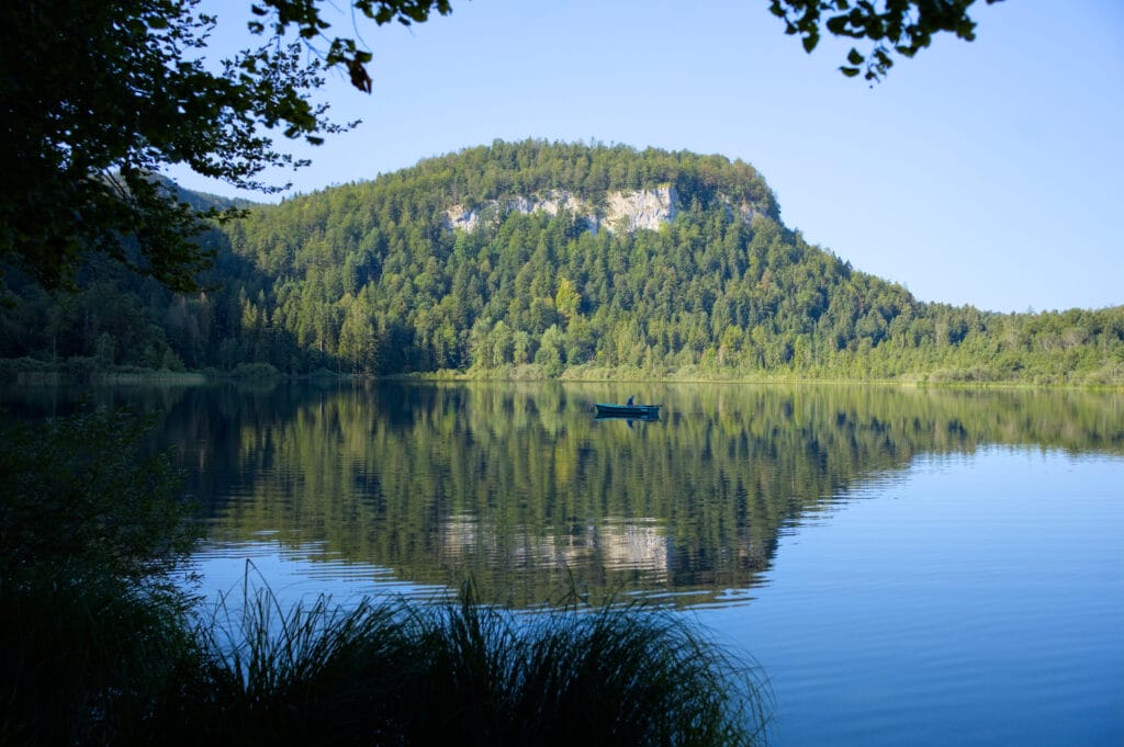
Well, let me tell you, we don't regret it at all! Lac de Bonlieu is truly magnificent! It's actually a protected area reserved for fishing. Swimming is forbidden, so there aren't many people around, just a few fishermen and strollers. We'll later learn that this lake is one of the springs that feeds the Hedgehog waterfalls mentioned above 😉
Surrounded by forest and overlooked by a rocky ridge, this lake makes you feel like you've arrived in Canada! No doubt it's splendid in autumn too!
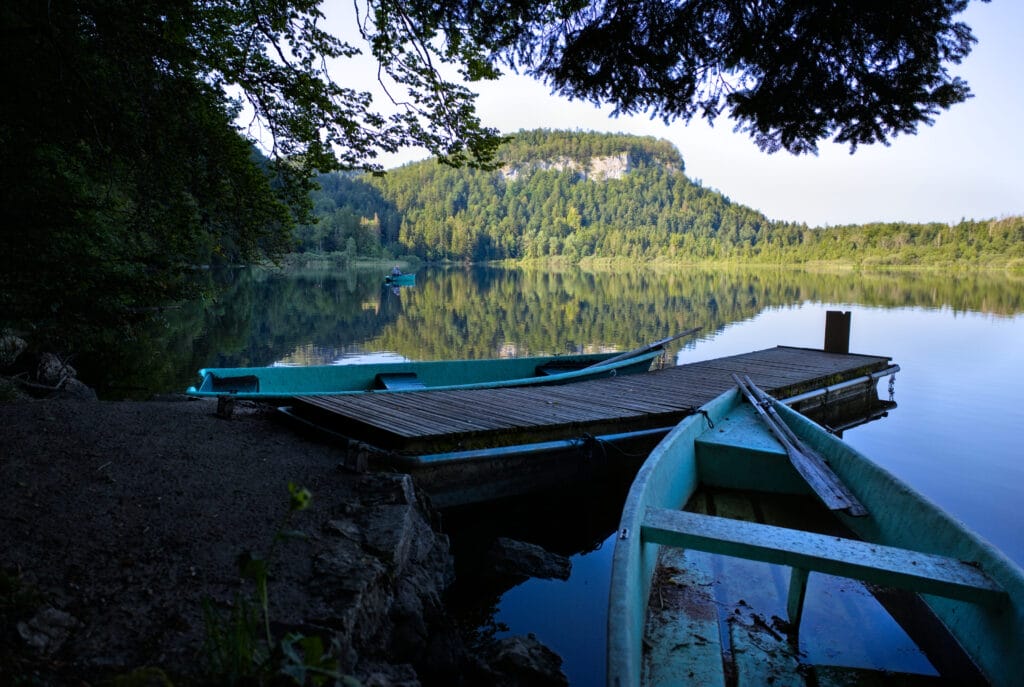
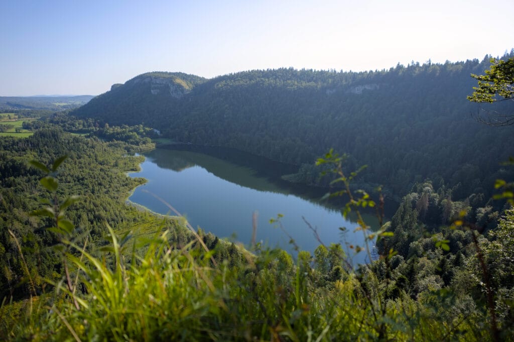
Once at the lakeside, we decided to follow the road up to the belvedere de la Ronde. We were a little disappointed to find that we actually had to follow a road to get there (basically, you can drive up if you prefer). But even if the walk up there isn't the most bucolic, it's still worth it, because the view is so pretty! Here's a map of our morning walk.
Map of the Bonlieu lake walk (+ belvedere de la Ronde) :
- Start and Finish : Camping de l'Abbaye, Bonlieu
- Distance : about 8km
- Elevation : 260m
- Hiking time : it took us about 2 hours to get to the belvedere and back to the camping
The Billaude waterfall
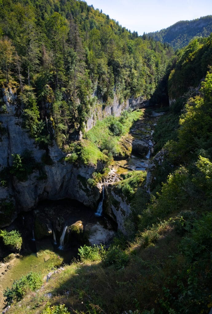
Not far from Bonlieu is another waterfall that's well worth a visit if you're in the area: the Cascade de la Billaude, also known as the “Saut Claude-Roy”. The parking lot is right next to the first belvedere overlooking the waterfall (the one we went to), and there's also a little café serving artisanal syrups and waffles/ice-cream. We didn't stop there for lack of time, but we thought the café looked very nice, and above all its menu was based on local, artisanal products (a far cry from those typical tourist attraction parking lot cafés serving frozen French fries and industrial ice cream).
If you have a little more time, a metal staircase leads to the foot of the waterfall. We briefly considered it, but on this hot day there were a lot of people bathing below, so we were a little put off to be honest 😉 Another time! But no doubt if you don't come during the week of August 15, it'll be a tad quieter.
The Langouette gorge
Before heading back to Switzerland, we made one last stop at the Langouette gorges. Located in the Haute Saine valley, these gorges are truly impressive! In fact, it's funny because when you're driving past, you can barely see them… To see them, you need to park in the small parking lot below the village (just after the bridge). From there, follow a signposted path of about 1.2km along the gorge, offering several vantage points, to the small hamlet just above. Return to the parking lot by following the road for a further hundred metres.
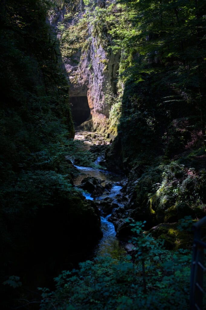
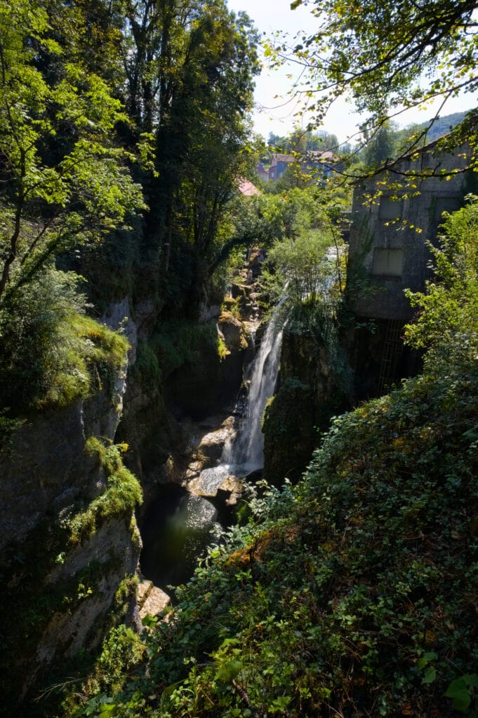
The sign at the entrance says it takes 1 hour to complete the tour, but frankly, you'll have plenty of time to enjoy it if you plan on spending 30 minutes or so 😉
Map of this mini walk :
Jura Map - The best things so see in the French Jura
To round off this article, we thought we'd put together a little map showing all the places we mention in the article. This should help you find your way around and choose your accommodation according to what you want to see/do.
We hope you've enjoyed this article, and especially that it will come in handy if you're planning a trip to the Jura.
See you soon for new escapades in Switzerland or elsewhere (a little bird tells me there'll be a hint of Italy in the next few weeks) 😉
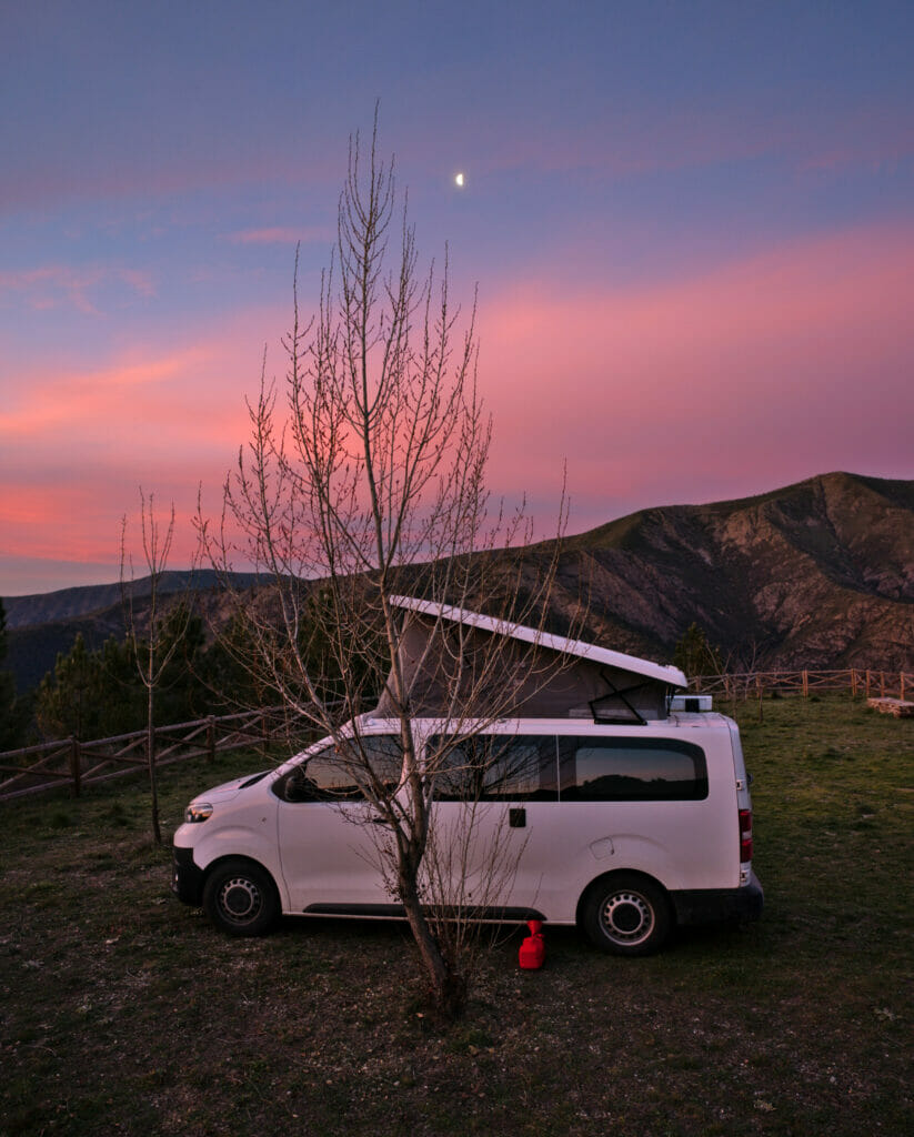
For this road trip, as is often the case, we were with our Dahu van! 🙂 And the Jura really is a destination that lends itself very well to vanlife, and where it's also relatively easy to find wild spots. You'll have noticed that we only stayed in campsites on this trip. The main reason was that we were at the peak of the high season (week of August 15) and we were a little afraid of seeing the wild spots saturated. The other reason was that we were going to a wedding, so we absolutely had to have access to showers after our hikes on the first day 😉 For short stays, campsites are a totally ok option that also offer a certain comfort and above all peace of mind that we have the right to be there. In high season, we tend to prefer this type of accommodation so as not to further saturate nature spots.
If you'd like to take a trip in a van but don't have one, the Jura is the perfect destination for your first road trip! As usual, we recommend the following website for van rentals Yescapa.
Pin it
Note : this article contains affiliate links to partner sites. By using our links to book a van, a hotel on Booking or buy one of our books, you obviously pay nothing extra, but we do earn a small commission. This supports our work on the site and enables us to offer you free, independent content. Thank you for your support.

Join the discussion