Today we're taking you on a hike that we particularly enjoy in the Val d'Hérens: the Ibex trail via the Prafleuri hut from the Grande Dixence dam.
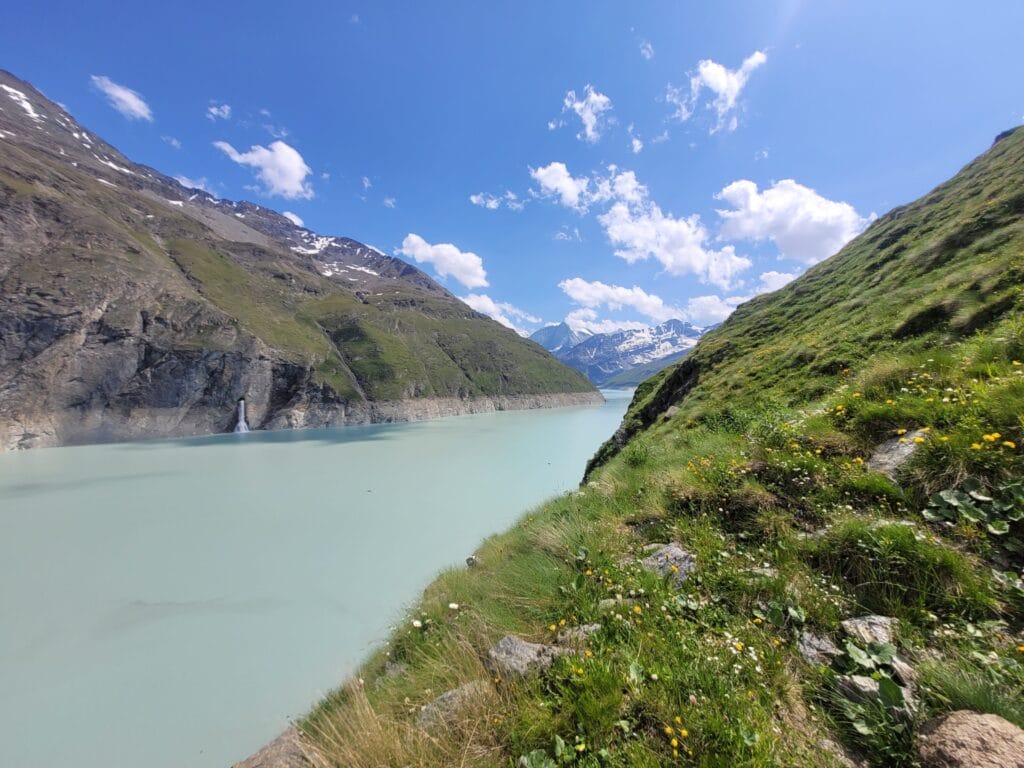
This itinerary is an easy option, accessible to all. To tell you the truth, we even simplified the hike by spending the night at the hut 😉 In this article, I'm going to describe the 2-day hike, but let's face it, this itinerary is LARGELY doable in an afternoon. For our part, we simply wanted to introduce our coliving guests to the experience of sleeping in a mountain hut.
The Grande Dixence dam
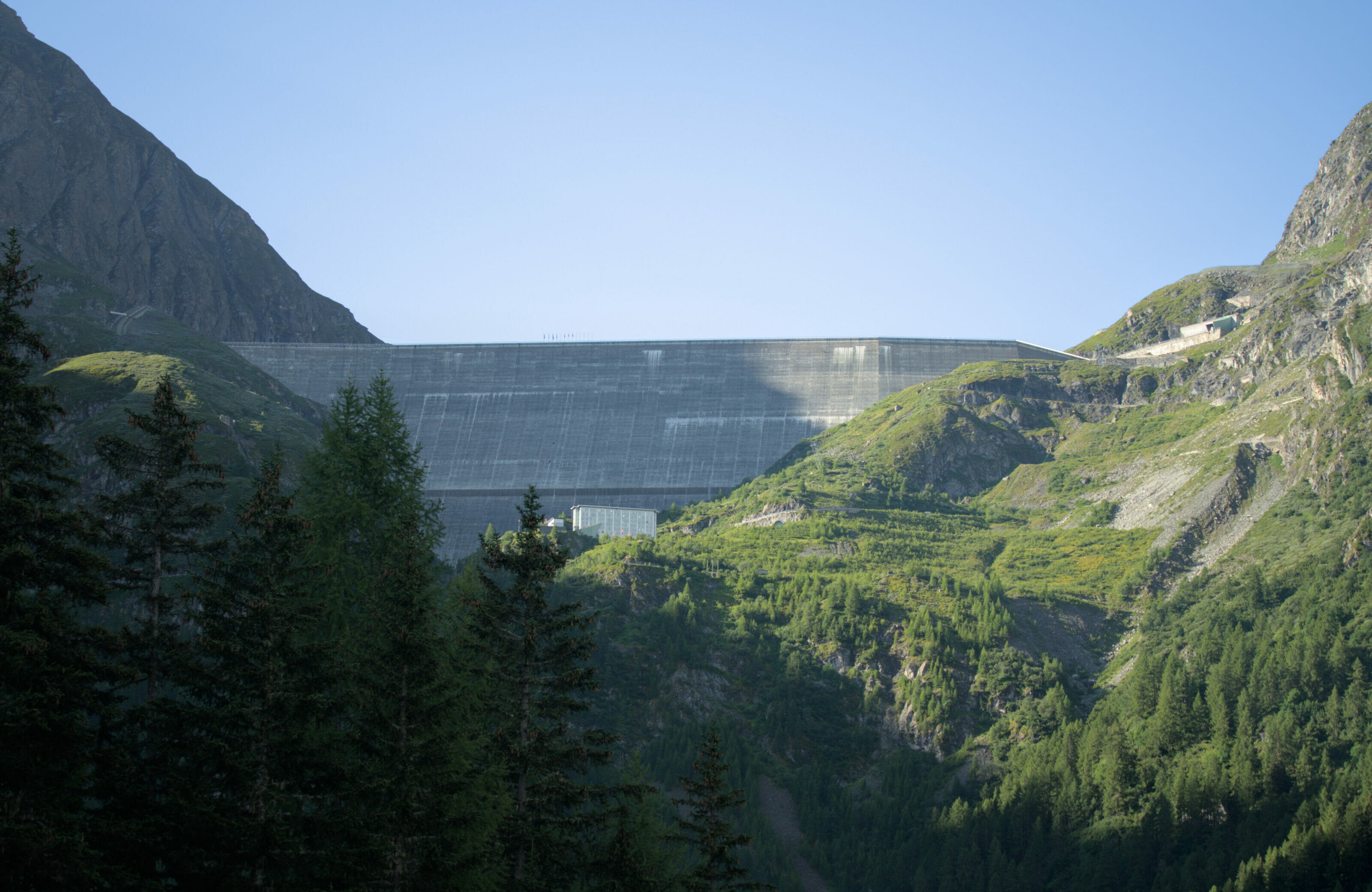
The hike begins at the parking lot at the foot of Grande Dixence, the world's largest gravity dam! Built between 1951 and 1965, this colossal monument was erected to harness the waters of 35 different glaciers and nearby rivers, providing a major source of hydroelectric power in the Valais. It's actually quite crazy to think that this huge 375 km2 basin collects water from glaciers located several valleys away, such as those in the Zermatt region! In fact, there's a whole network of pipes that brings the water back to the main Grande Dixence collector.
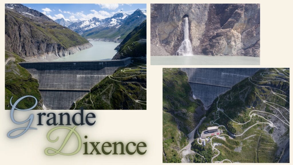
As well as being an important source of energy, Grande Dixence has also become a tourist destination in its own right over the years. At the foot of the dam, the old building used to house the workers has been converted into a hotel. A small cable car takes you up to the top of the dam, where you'll find a refreshment bar, a giant zip line and, during the summer months, it's even possible to climb part of the wall.
Note : it is also possible to visit the inside of the dam. Sound and light tours are organized every day between June and October (when the road leading to the dam is open). Further information and prices on the official Grande Dixence dam website.
From the Grande Dixence dam to the Prafleuri hut
The hike starts from the large parking area below the huge dam wall. For this hike, we're a team of 6, and we've decided to do this little loop over 2 days, so as to make the most of spending the night at the hut. Departure is at 2pm from the parking lot.
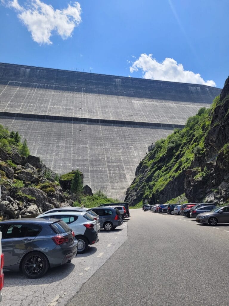
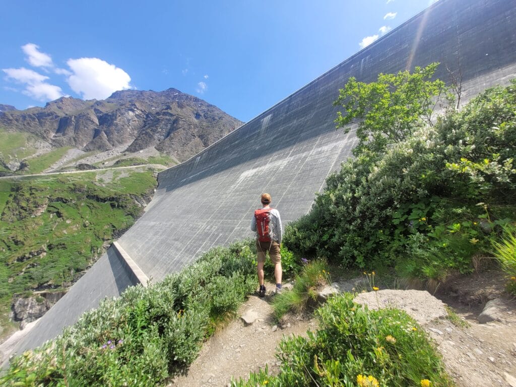
The first stage of the hike takes you up the winding path beside the dam. There's nothing like it to get you going and get your cardio machine started 😉
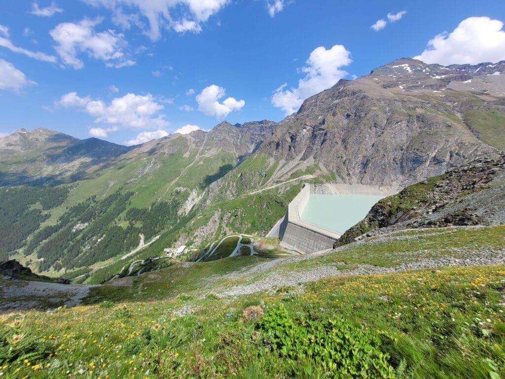
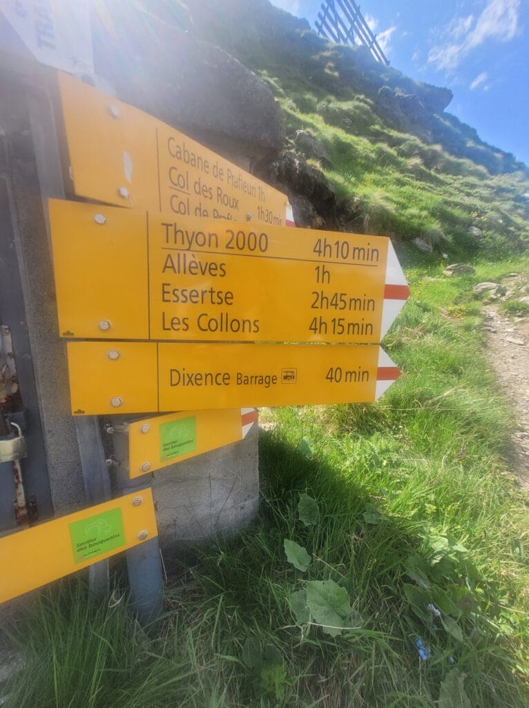
Once you've reached the lake, first follow the shoreline for a short distance, then turn right to follow the signs for the "sentier des bouquetins" until you reach the Combe de Prafleuri. There are several possible routes to the hut (both sides of the river). For our part, we opted for the one on the left (looking uphill), as this is the officially marked path (red-white-red markings).
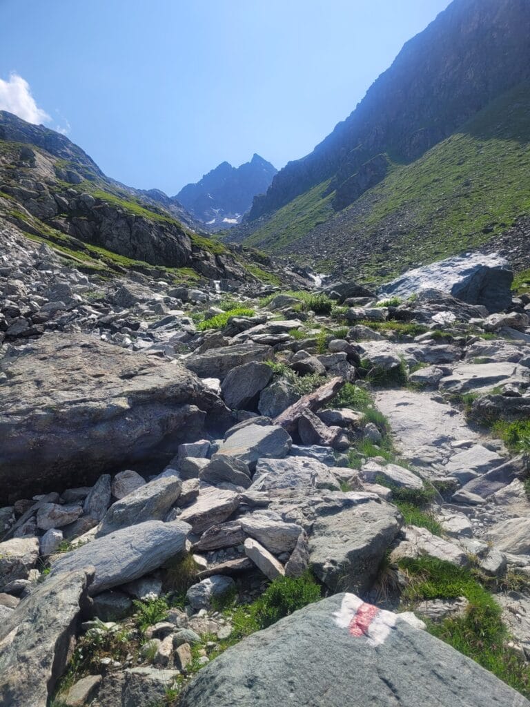
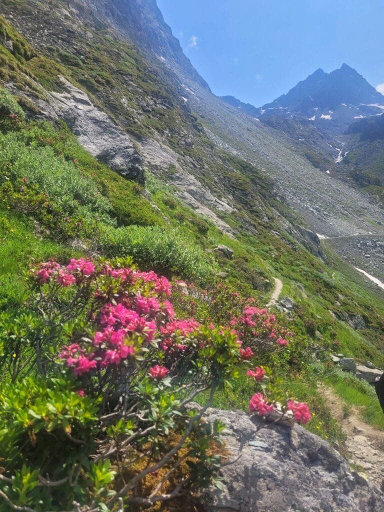
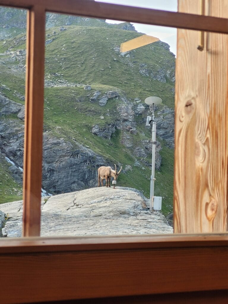
The Combe de Prafleuri is a truly magnificent place, with its mix of flowers, greenery and rocky landscapes. As you progress towards the hut, you notice that the vegetation becomes increasingly sparse, and at around 2400m you reach an almost exclusively rocky world. I personally have a particular weakness for these landscapes… A "je-ne-sais-quoi" that makes you feel you've arrived in a completely different universe, the world of the ibex. And yes, there's a reason why the trail bears that name! There really are a lot of ibex wandering around here (and lots of marmots alerting you to their presence with their little screams). In short, keep your eyes and ears open - you won't be disappointed!
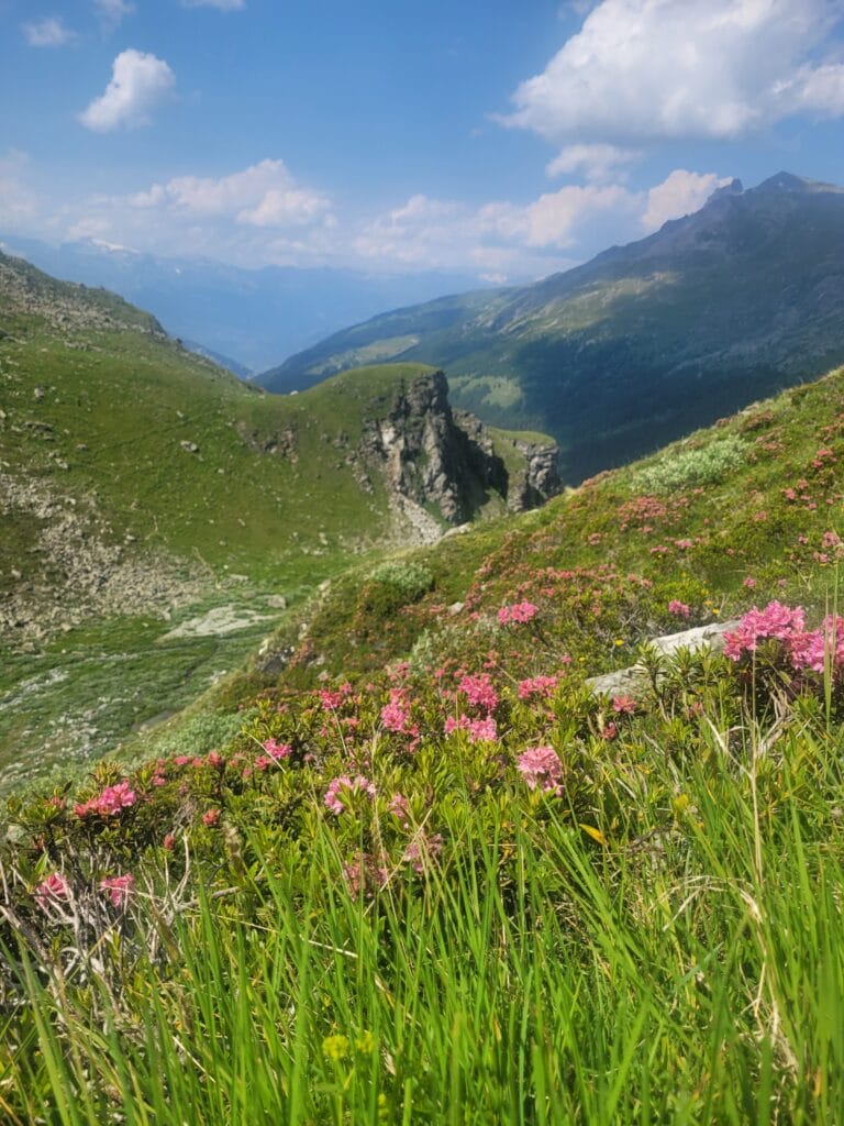
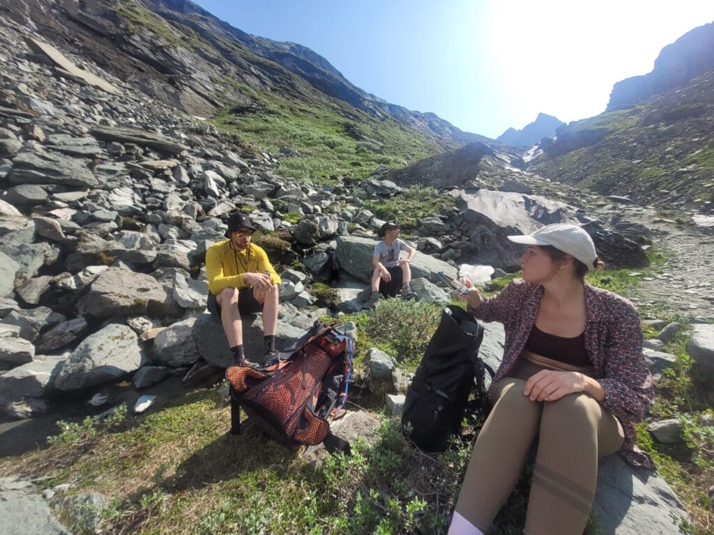
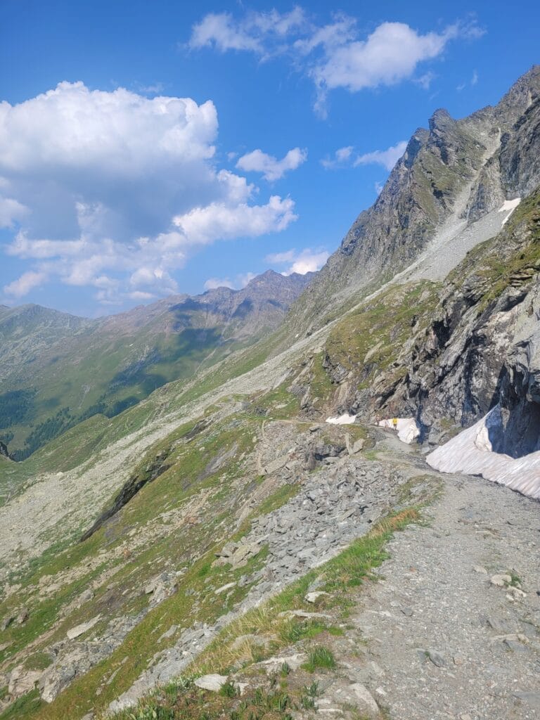
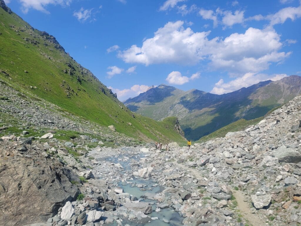
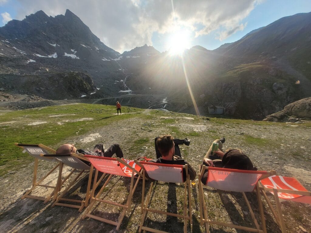
The climb up to the hut is really quite gentle and presents no particular difficulties. It was barely 4pm when we arrived at the Prafleuri hut and its pretty terrace.
From the parking lot it's about a 2-hour walk to the hut, so we could have left much later, but we wanted to make sure we arrived early so we could enjoy the last rays from the terrace (and have a beer with a view) 😉
From Cabane de Prafleuri to Col des Roux
Up early (the benefits of spending the night in a dorm haha), we had breakfast at the hut and by 8am we were on our way to the Col des Roux. We knew full well that our day's stage wouldn't be very long, but the idea was to be back at the coliving by noon so as to still have the afternoon free to get back to work (yes… coliving = great hiking, but it's also a place where people work remotely. Combining the 2 is just the ultimate luxury 😉 ).
I'm not going to lie to you, the way up to the pass does not take many detours: 700m of distance and 170m of ascent (counting that the first 400m of distance are almost flat 😉 )
But since it's such a short walk, it's really quite easy! You don't need to be in top physical condition to reach the top of the pass and admire the absolutely spectacular view!
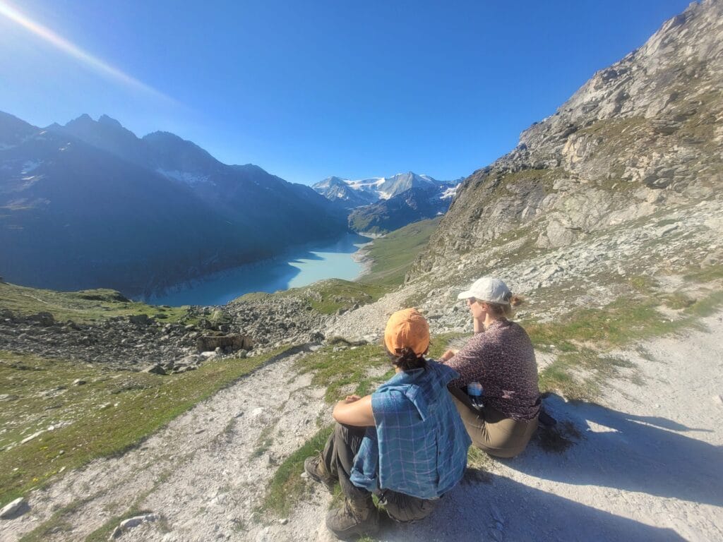
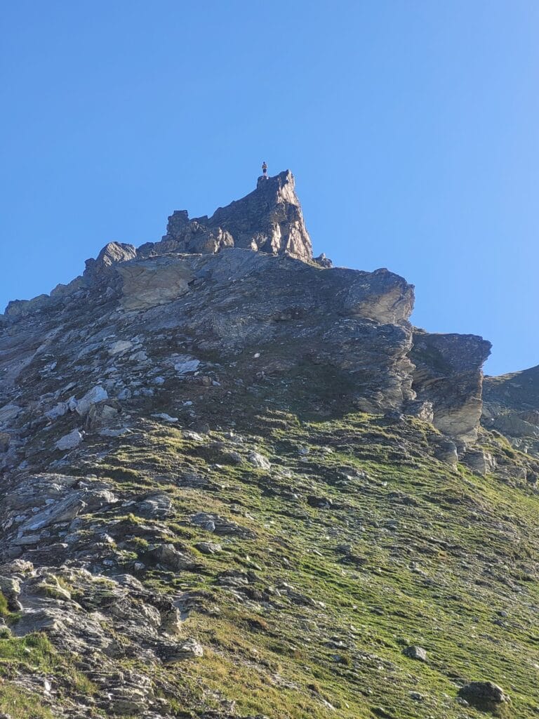
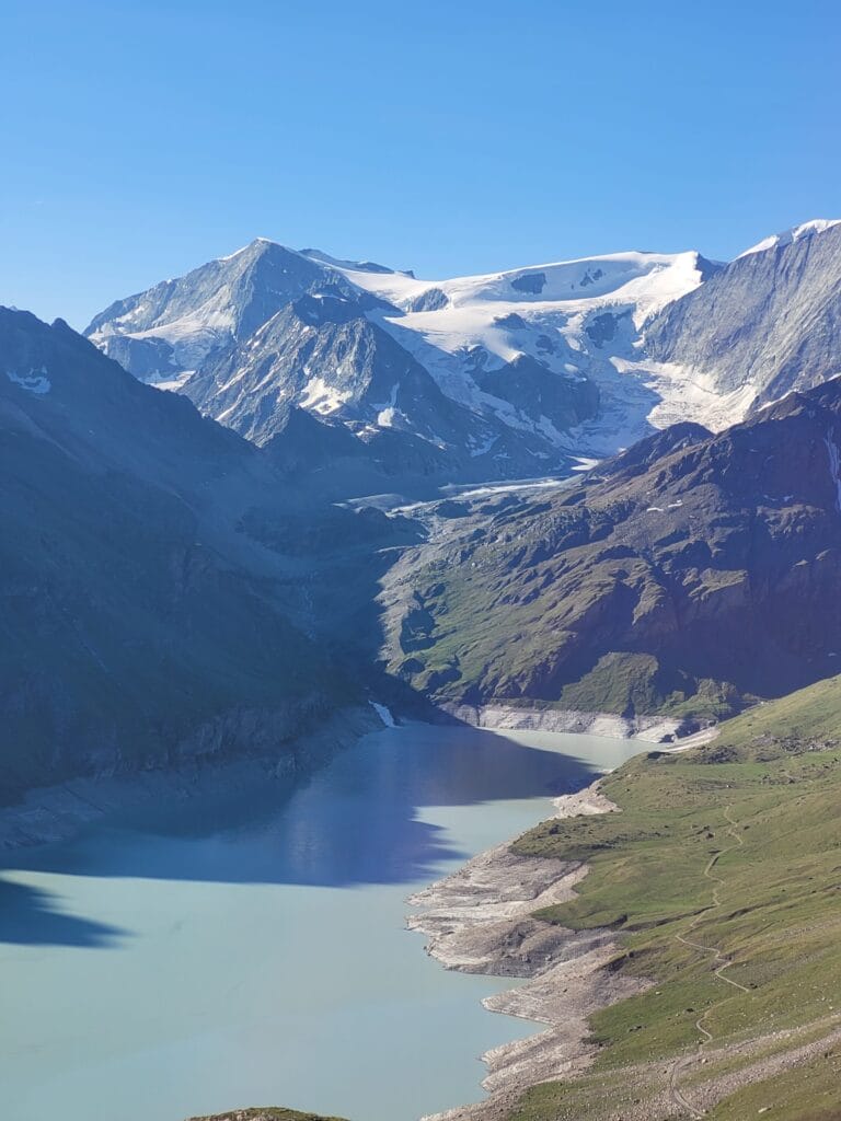
At the Col des Roux we took a short break. On the one hand, to enjoy the incredible view of Lac des Dix, but also because 2 of our group still wanted to climb towards Mont de la Blana (a summit 150m above the pass).
From the Col des Roux to the Grande Dixence dam
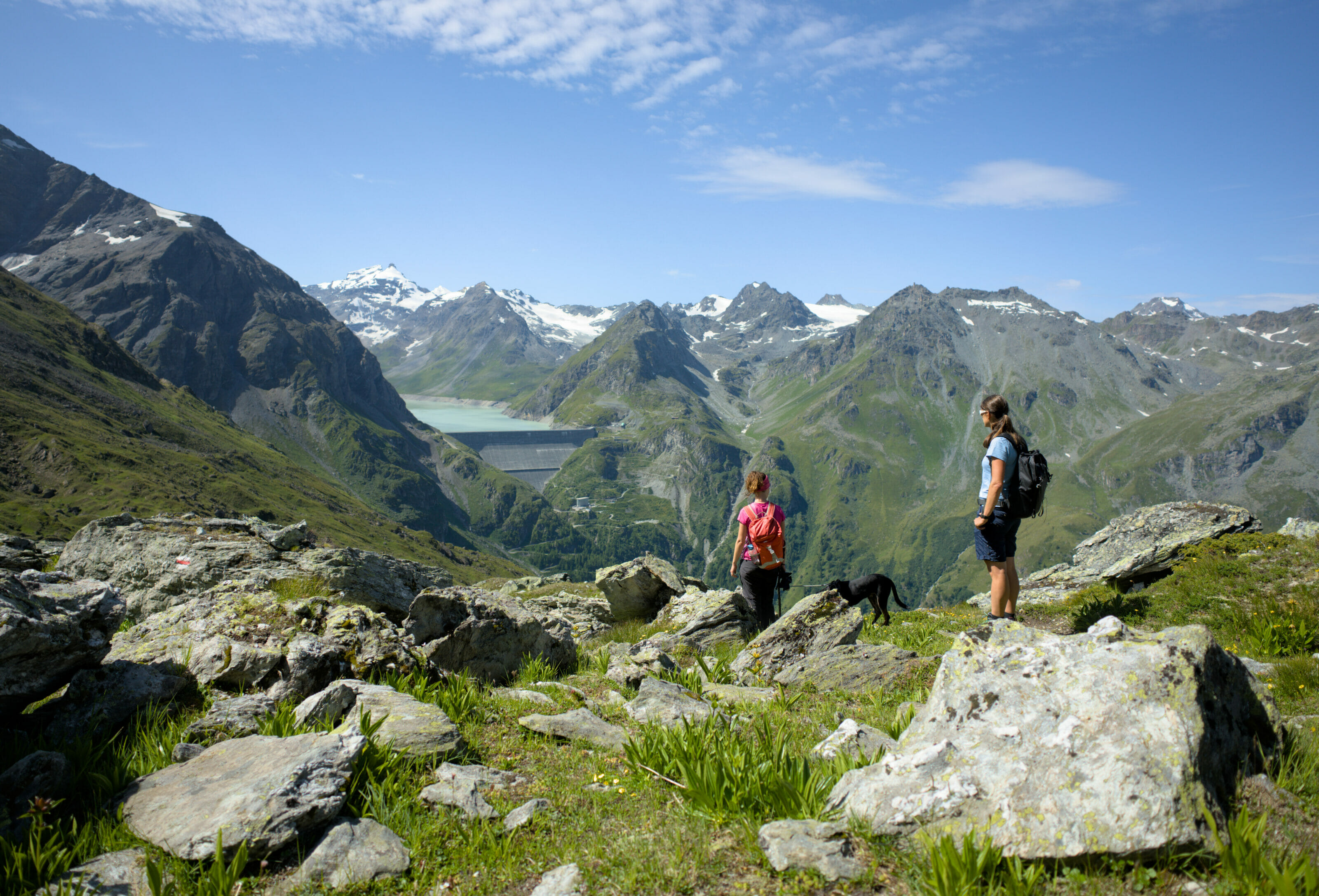
From the pass, the path descends in the direction of the lake, following large switchbacks. It's very pleasant, as the slope is relatively gentle, and we reached the place known as La Barma (right next to the refuge of the same name) without the slightest difficulty.
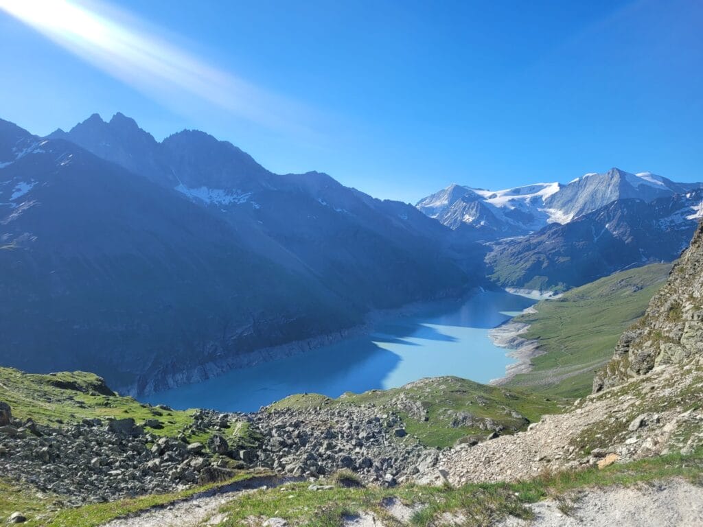
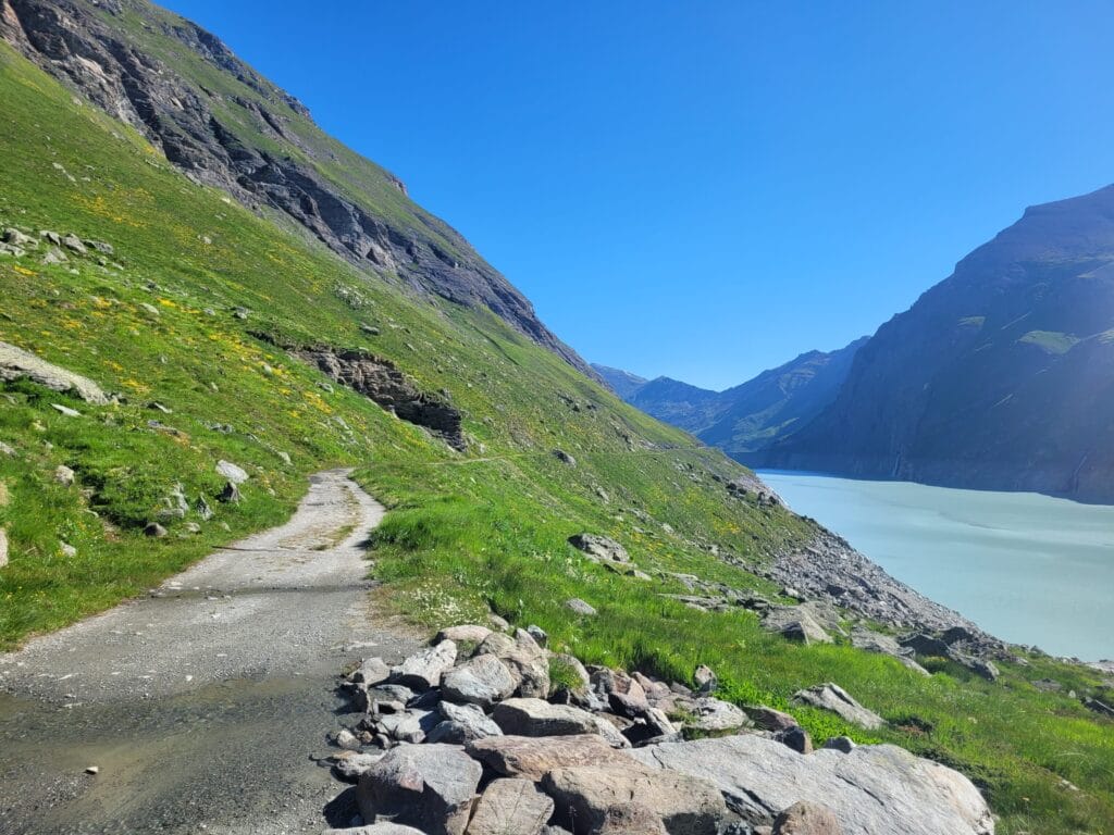
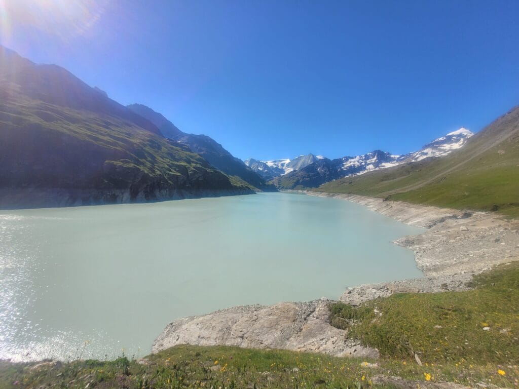
From La Barma, we leave the trails and join the wide track that runs alongside Lac de Dix for just over 2 km. A final dip from the top of the dam to the parking lot later, and we're back on this superb loop towards the Prafleuri hut.
Spend the night at the Prafleuri hut
As I said in the introduction, the length of this itinerary doesn't really require spending the night in the hut, but for us the aim of this outing was to introduce our colivers to what it was like to sleep in a mountain hut 😉
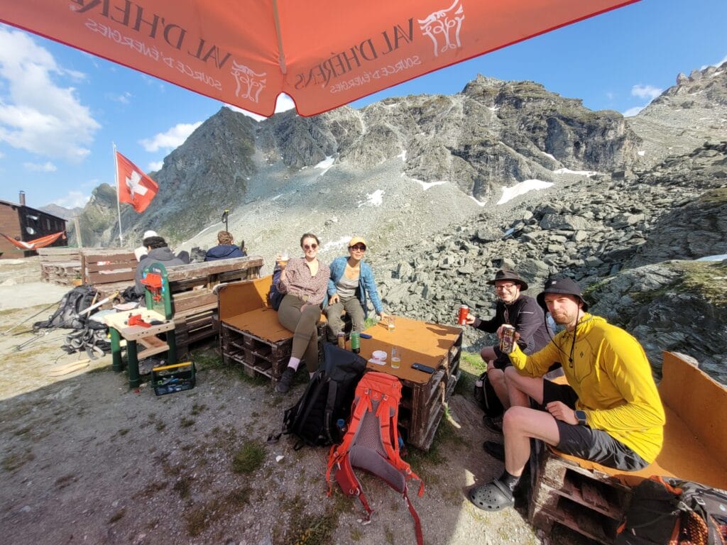
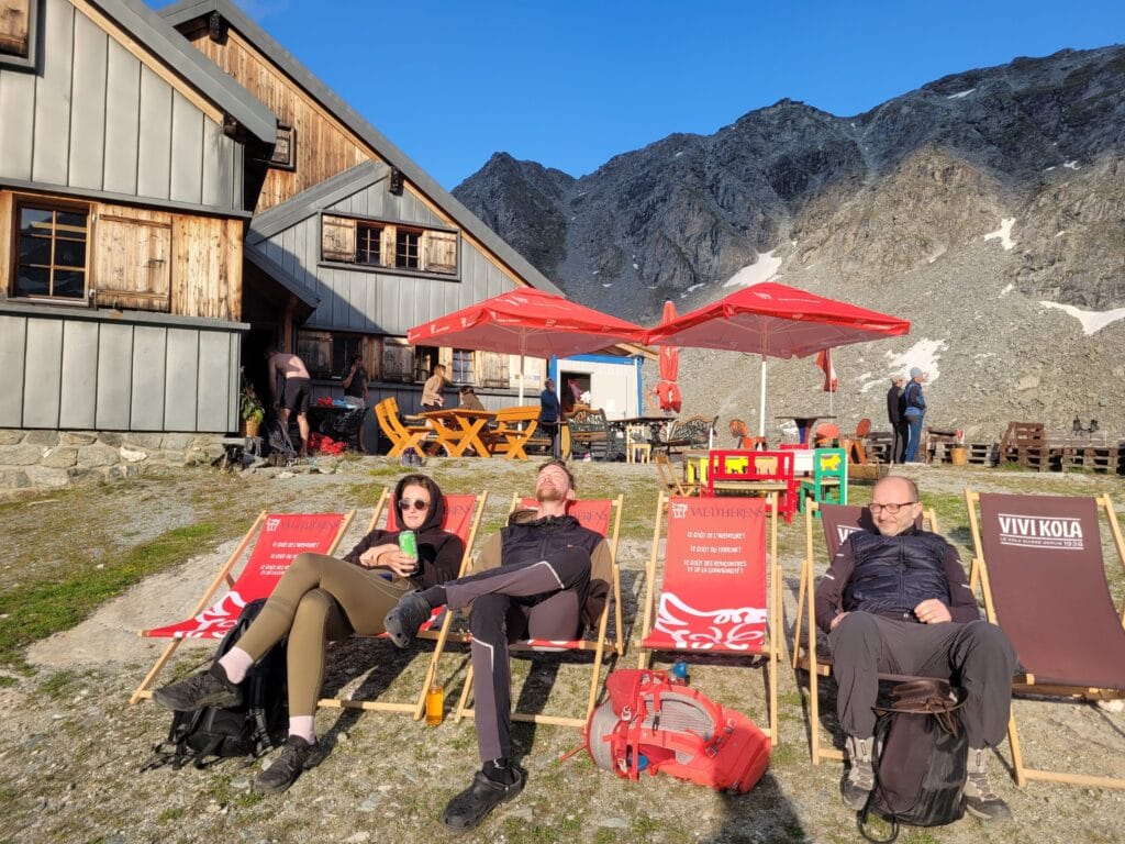
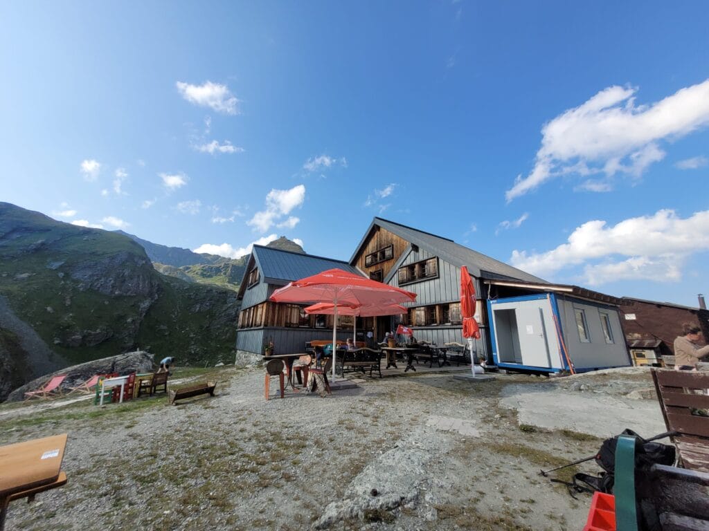
The Prafleuri hut is an ideal destination if this is your first hut:
- Access is quick and easy. Totally family-friendly
- The hut is comfortable and modern
- The views are, of course, absolutely incredible. 🙂
- If you're lucky, you'll even see some ibex around the hut.
Information about sleeping at the Prafleuri hut:
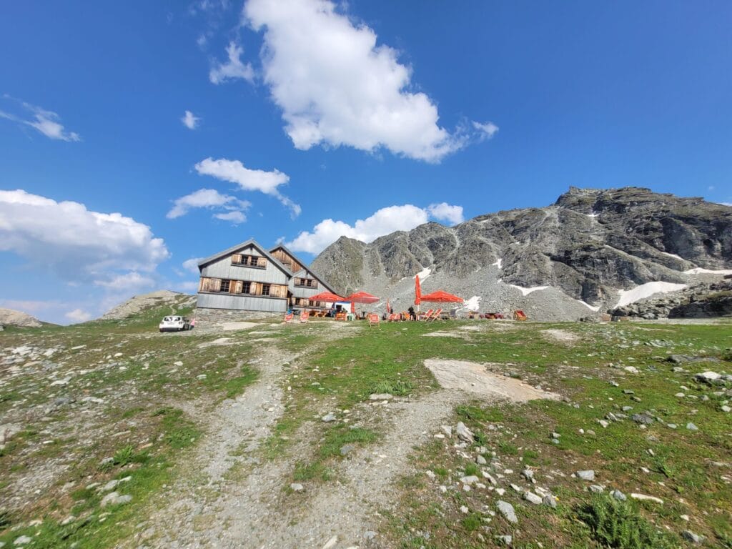
Overnight accommodation with dinner and breakfast costs CHF 80 per person (CHF 45 to CHF 65 for children under 16, depending on age).
For the summer season, the cabin is open from July to September. To spend the night, it is essential to book online before you come. Website with all info and booking form.
PS: note that the hut is also open between March and April for those following the Haute Route between Chamonix and Zermatt on skis 😉
Sentier des Bouquetins : hike infos
The Sentier des Bouquetins is a magnificent 12 km loop hike with around 900m of elevation change. Like all loop itineraries, it can of course be done in both directions.
Personally, we'd advise you to do it anti-clockwise. This direction is actually the opposite of the one officially recommended, but I find it more pleasant to do the steepest section (between the Prafleuri hut and the Col des Roux) in the upward direction and then have the view of the lake in front of us on the descent.
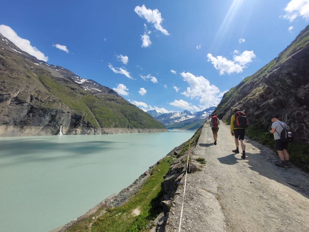
Note that you can shorten the itinerary by taking the gondola to the top of the dam. This removes 3km and 240m of ascent.
Hiking map:
Other hiking routes from the Grande Dixence dam
The Grande Dixence dam is a truly unique place! Accessible only in summer (the road is closed as soon as the first snow falls), it's also where the road ends. From the dam, there's no other option than to continue on foot! 🙂
We haven't yet had time to publish all the blog posts on hikes in the area, but if you're looking for inspiration, here are a few itineraries we can recommend:
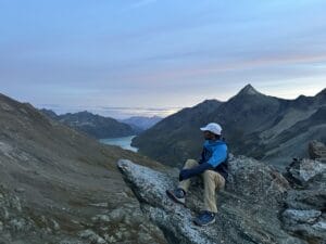
- Along Lac de Dix towards the Cabane des Dix. This route is a return trip to get something to eat. But be warned, it's a bit of a leg-burner… 24km round trip with around 1000m ascent (+ and -). Of course, you can save 3km and 240m of ascent by taking the gondola up to the top of the dam. Note that it is of course possible to cut the hike in 2 by spending the night at the hut.
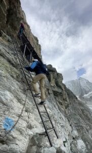
- Crossing over to Arolla: From Grande Dixence, you can reach Arolla via either the Pas de Chèvre or the Col de Riedmatten. Both routes are similar in distance, with just a small junction at the summit. The Col de Riedmatten is demanding and steep but has no ladder, while the Pas de Chèvre has a ladder to pass. The total length of the traverse is 19.8km, with around 920m of ascent (not including the detour to Cabane des Dix). It is of course possible split the hike by staying overnight at the Cabane des Dix, but this adds a bit of elevation gain and a few km (you don't get to the hut by taking the direct route… it's perched above the pass) 😉
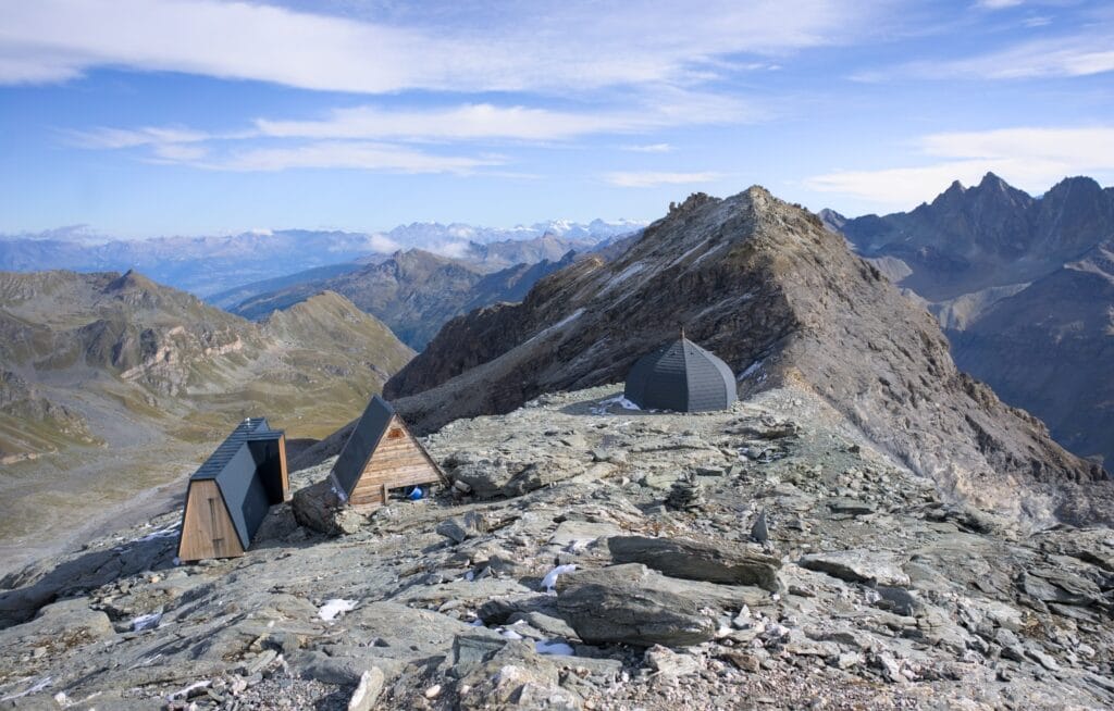
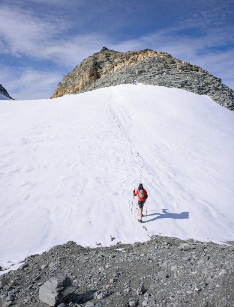
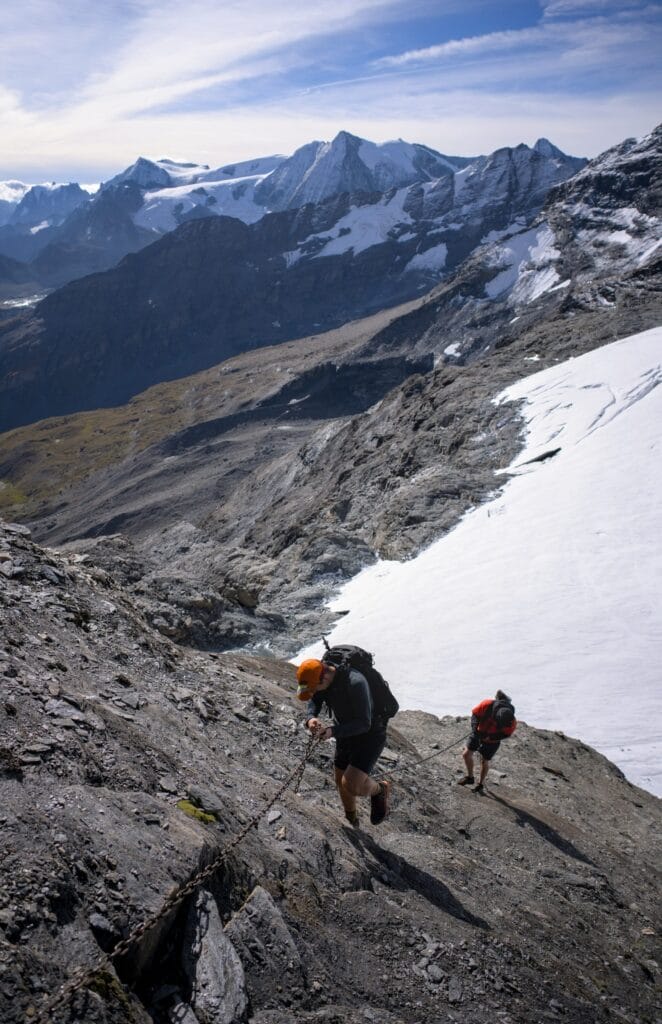
- Hike to the "Pantalons Blancs" igloo: Be careful, this is a demanding route! Starting from the dam, you embark on an itinerary of around 17km with 1280m of ascent (+ and -). It's a round trip. But beware, the terrain is demanding (chained passages, small glacier crossing). We'll be preparing a full article on this itinerary shortly.
Well, I think that's all for today. We hope you enjoyed this little dip in the Grande Dixence dam region. We're still struggling to realize that these landscapes are now our "home". We can't wait to keep exploring and showing you all the treasures of the Val d'Hérens (and elsewhere too) 😉
Note: our links to AllTrails are affiliate links. The app is free to use, but if you decide to take out a paid subscription, we'll earn a small commission. To find out about the differences between the free and paid versions, take a look at this article.


Join the discussion