After almost 2 months in Andalusia and some great hikes in the Sierra de Grazalema and the surroundings of Ronda, we headed to the south of Spain to find some iodized air and a bit of milder temperatures during these winter months.
If the region is mostly known for its beaches and its mildness in spring and autumn, we fell in love with the mild temperatures and the beautiful landscapes for hiking during winter. We came here between the end of January and the beginning of February, and took advantage of the many sunny days (where the thermometer sometimes exceeded 20°C) to explore the area far from the crowds. We take you along?
- From the Acantilados of Barbate to the Torre de Meca
- The Trafalgar lighthouse and its beach
- The Dune of Bolonia: a natural area not to be missed in the south of Spain
- Hike from Bolonia beach to Camarinal lighthouse
- Visit to the site of Baelo Claudia: the ruins of Bolonia
- Small scenic stop at the Mirador de l’Estrecho
- The Rio de la Miel: a small hike where we would have loved to go further
- Castillo de Castellar de la Frontera
- Jimena de la Fronterra: Sweetness of life in south of Spain
- The Sendero del Rio Hozgarganta
- The road to the Andalusian white villages
From the Acantilados of Barbate to the Torre de Meca
Our first stop in the south of Spain took us to the outskirts of the town of Barbate. We had seen pictures online of these cliffs overlooking the sea and it made us want to come hike in the area. We left Dahu at a small parking lot along the coastal road and set off for a (long) loop of almost 18 km.
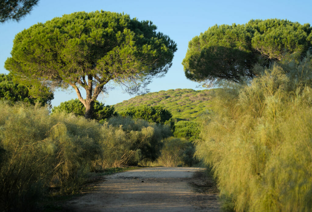
From the parking lot, the first part of the walk follows a wide track (pedestrian) that enters the natural park of La Breña y Marismas. The path under the pines is very pleasant and offers some magnificent views of the sea!
The cliffs of Barbate
After about 3 km along the coast we arrive at the Torre del Tajo, a tower built in the 16th century to protect the coast from Berber pirate attacks. This is also the place with the best view of the impressive cliffs of Barbate (Les Acantilados). Several small miradors have been built and we recommend you take your time to walk around the area to see the different viewpoints!
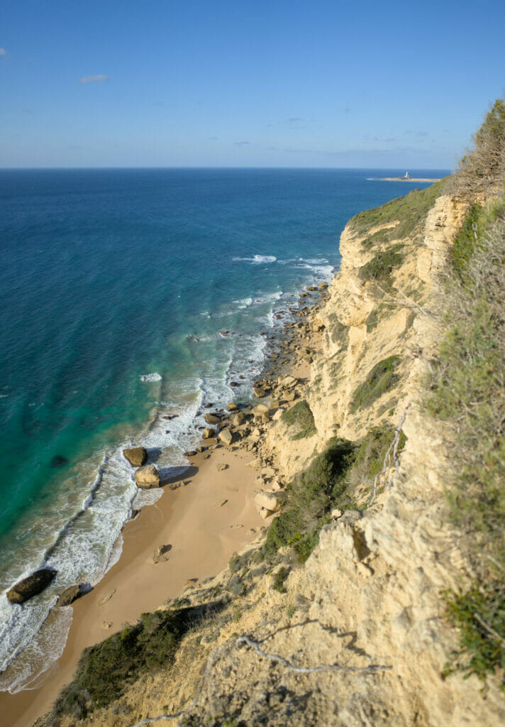
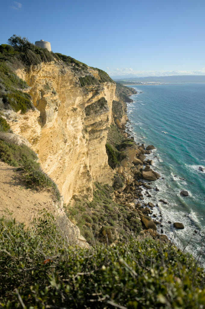
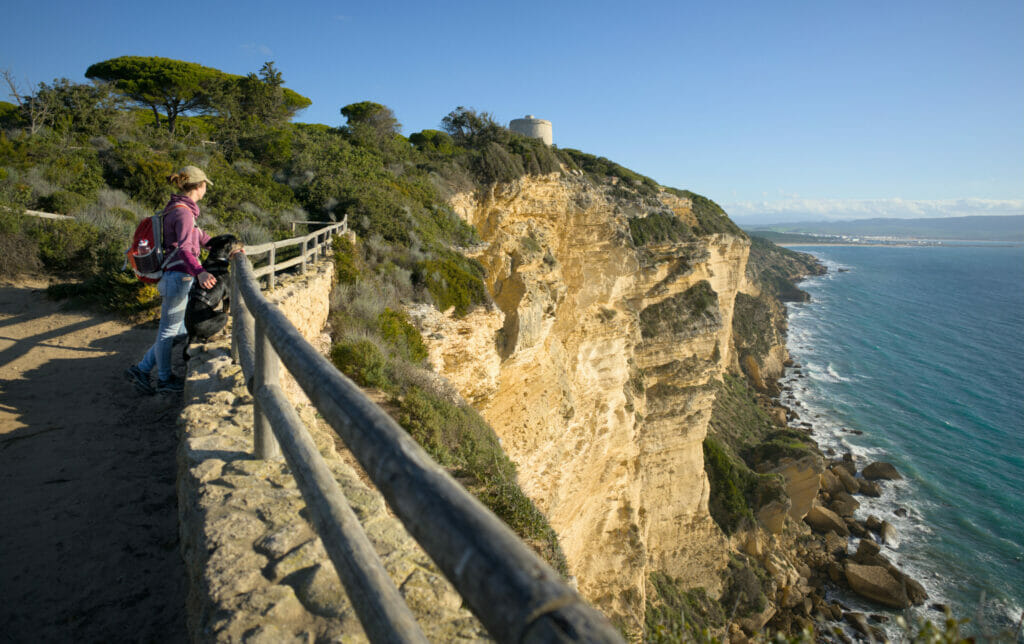
From the Torre, we continue following the coastal path until we reach the small seaside resort of Los Caños de Meca. We can’t tell you much more about the place… We will admit that we secretly hoped to find a café there but in the middle of January, this place looked more like a ghost town than a small seaside village where to find something to drink 😉 We imagine that it is a much more lively place in the “good season”.
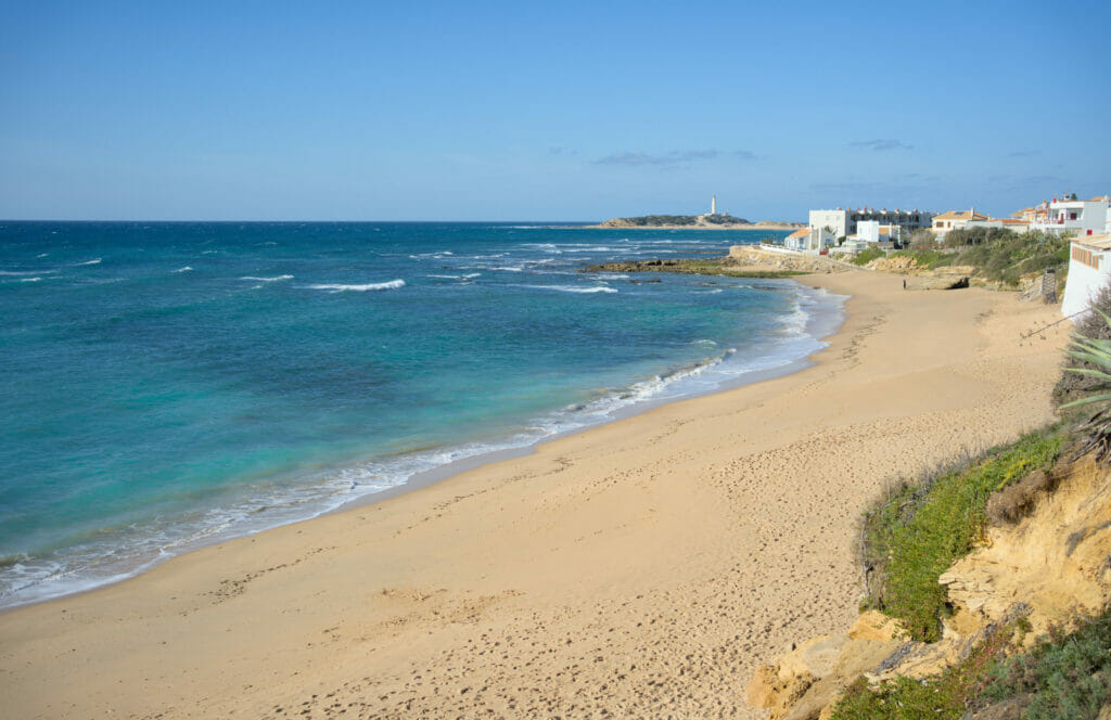
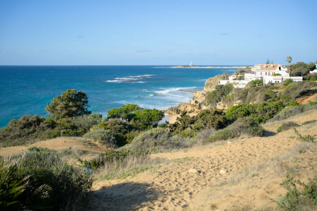
From Los Caños de Meca to the tower of Meca and the Trafalgar lookout point
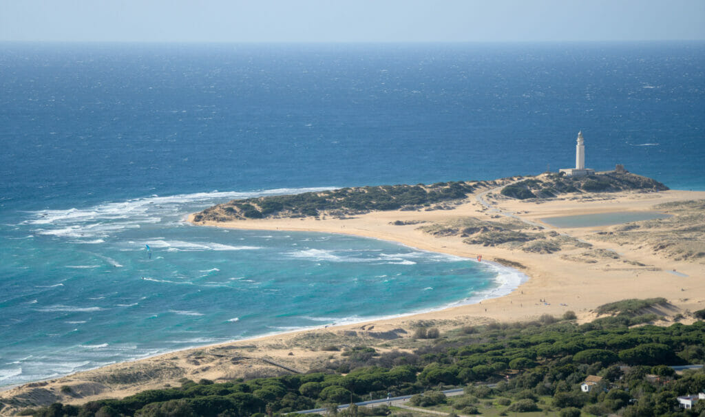
From the village, we start the serious stuff: the small climb to the mirador of Trafalgar! From the beach we can already see quite well what is waiting for us. While preparing our hike we hadn’t quite decided which way we were going to go, but we thought we could go up by the fire-break that you can see indicated on the map below (the vertical line that goes up to the mirador). Well, as you can see, we opted for a small detour because the firewall is indeed vertical or almost 😉
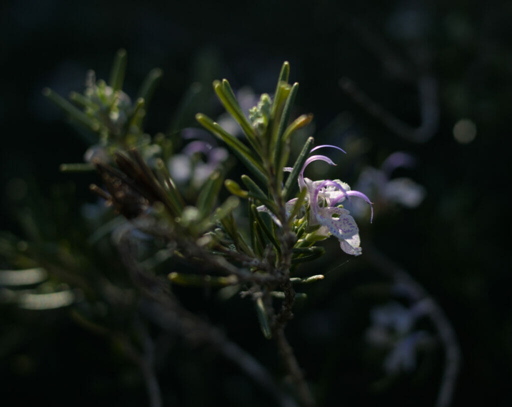
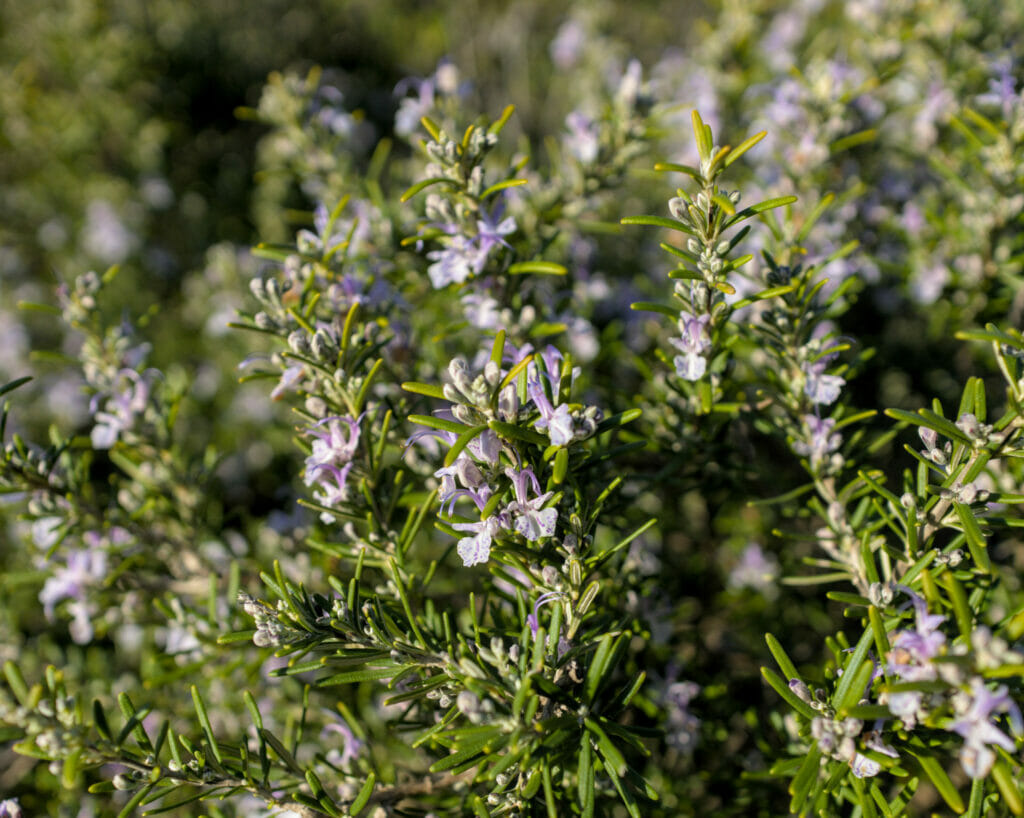
We followed the road behind the campsite for a little while and then took a path on the right to climb towards the tower. But we warn you: the climb is short but it will hurt your legs! It’s steep, even very steep in some places 😉 If you want to go up more gently, it is possible to continue to follow the road and then take one of the paths which arrives by the north of the mirador.
But the view from the mirador is clearly worth it and it would have been a shame to miss it! We chose this place for our picnic break and phew… what a view!
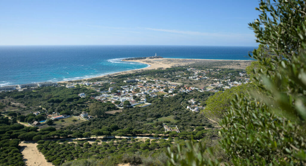
Return to Barbate through the forest
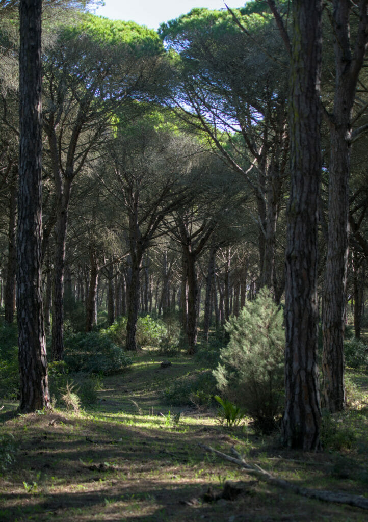
From the Torre de Meca and the Trafalgar viewpoint, we could have retraced our steps and taken the coastal path, but instead we opted for a more direct route through the pines of the Breña y Marismas natural park. This route is less panoramic but on the other hand it has the merit to be much faster and also to offer a beautiful immersion in the pines!
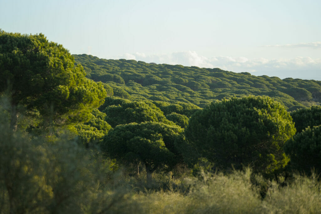
In fact it is funny, because at several moments we overhang a little the pines and we have this impression that all is “green”. However, when we are inside the forest we do not have at all this sensation of greenery. The explanation? The stone pines are trees that really grow “towards the sun”. The part exposed to the light is bright green, but the part in the shade is much drier.
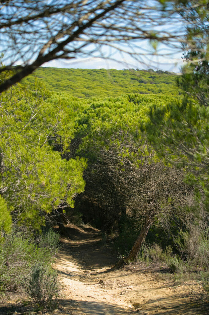
To finish the loop there are many options. You can of course follow the same route as we did, but if you look at the map below you’ll see that there are plenty of variations. The perfectly straight lines visible on the map are firebreaks, also called double tracks; forestry cuts that help to stop a possible fire. It is quite possible to follow them at any time to get back to the coastal path.
Practical information for the hike in Barbate
We are not going to lie, this hike might hurt your legs a bit… 17km and something like 450 m of difference in altitude, but believe us it’s worth the effort! In terms of timing, it took us something like 7 hours to do the whole loop (counting numerous photo breaks and a picnic stop). The pure walking time is about 5 hours.
We advise you to bring enough water and a picnic (especially if, like us, you do it out of season). In season, you will find bars, restaurants and small supermarkets in Los Caños de Meca (everything was closed when we were there). At kilometer 11, you also have the recreation area “Los Majales del Sol”, a forest bar that looked very nice (unfortunately closed at the time of our visit).
At the starting point indicated on the map you will find 2 small parking lots where you can leave your vehicle.
The Trafalgar lighthouse and its beach
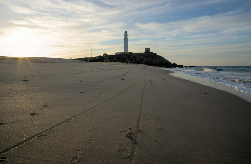
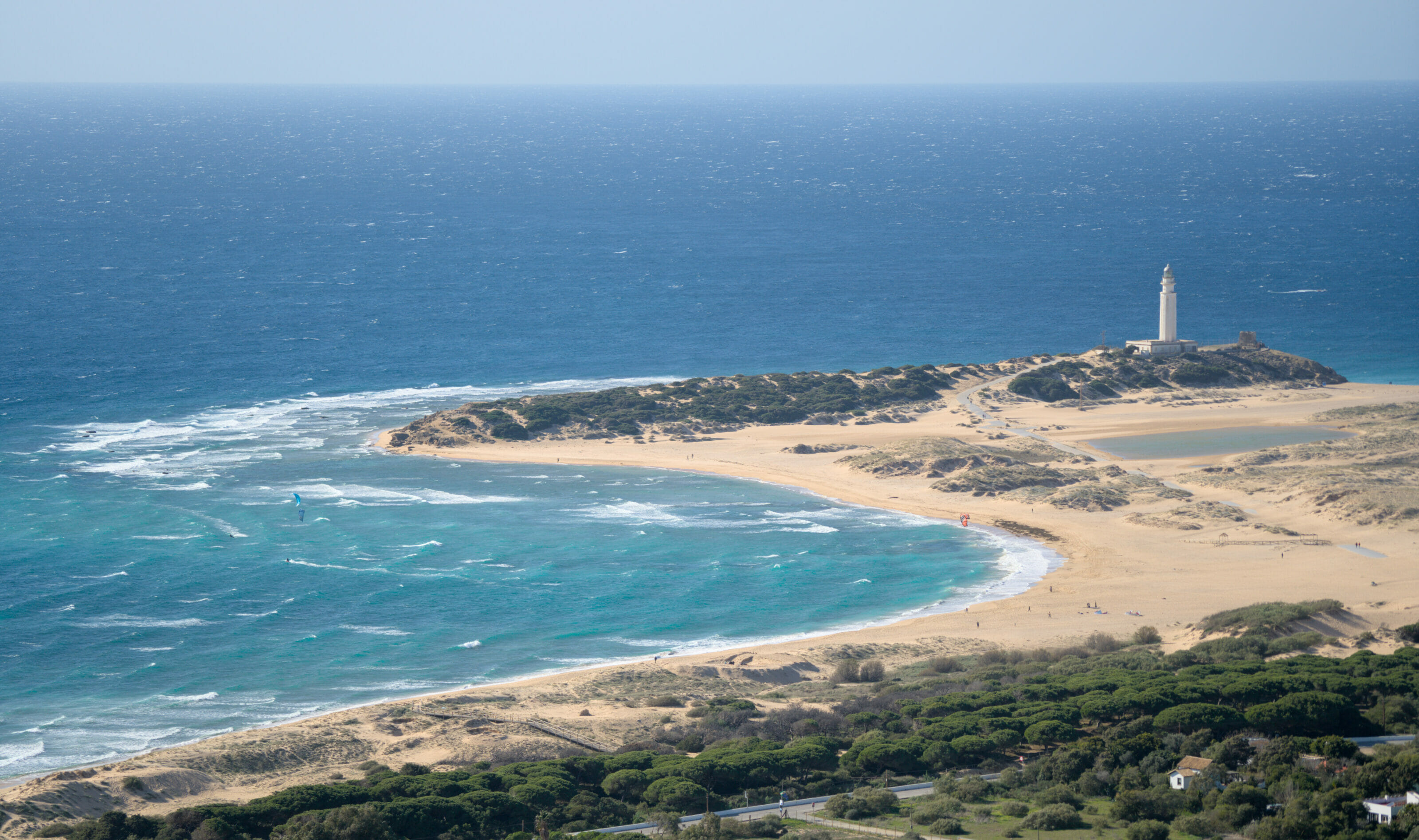
If you are in Caños de Meca or in the surrounding area, we also recommend you to visit the Trafalgar lighthouse! Does the name ring a bell? If you’ve ever been to London, chances are you’ve passed by Trafalgar Square, one of the most famous squares in the city! The name of this square was indeed given in memory of the naval battle opposing the French-Spanish armies to the British which took place in the waters off this lighthouse in 1805 (won by the English).
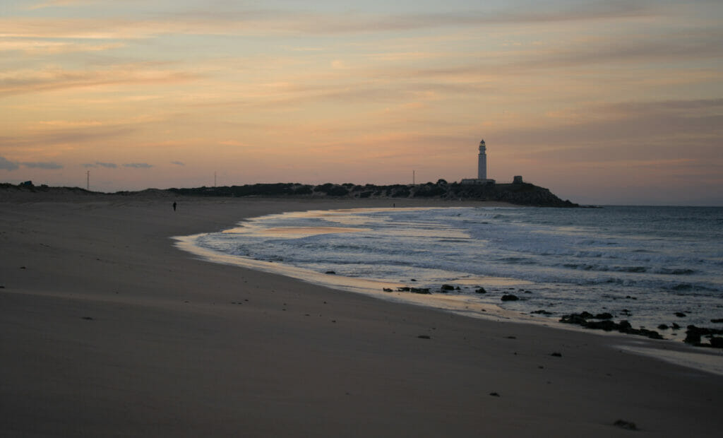
With its position at the northwest entrance of the Strait of Gibraltar, the Cape of Trafalgar was at the time a highly strategic place. Nowadays, the lighthouse is still in activity and is used to direct the maritime traffic, but it is also a beautiful place to come for a walk (preferably at sunrise or sunset for the beautiful lights) 😉 In the summer, it is also a place very appreciated for its beautiful beaches, but on this point we will not be able to tell you more. #TooColdInJanuary
The Dune of Bolonia: a natural area not to be missed in the south of Spain
To stay in the theme of beautiful beaches, there is one that we really advise you not to miss in the region: The beach of Bolonia and its dune!
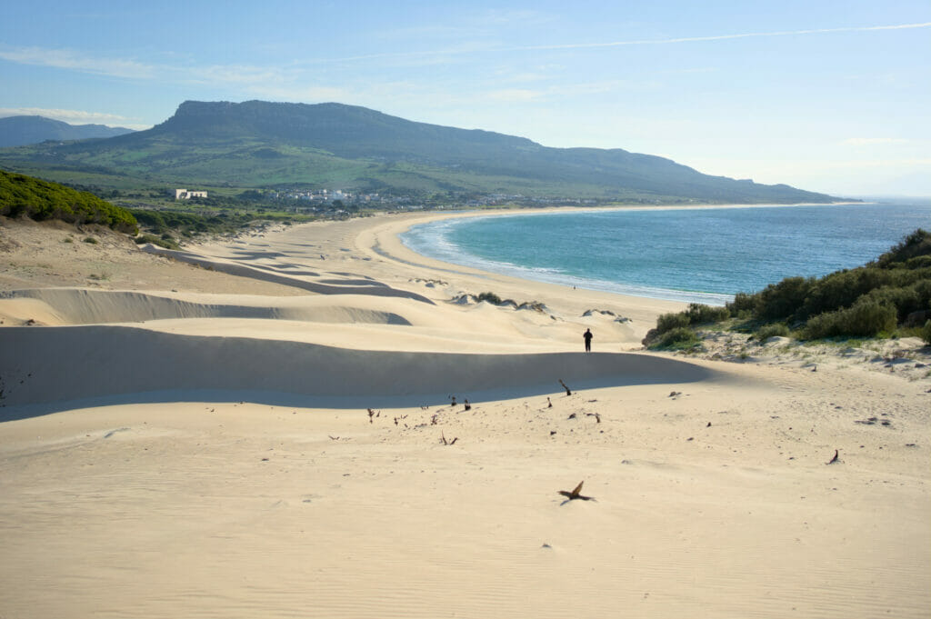
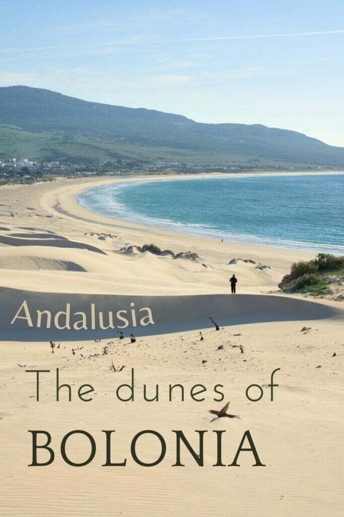
The dune of Bolonia is a small attraction in the region and it is true that it is magnificent! After, we will be honest, it is not the dunes of Pilat in term of size 😉 But with its 30 meters high it already offers a very nice panorama on the beach.
But if we came in the area it was obviously not only to climb to the top of a 30 meters high sand hill, oh no! We had spotted a path that runs along the entire coast from the beach to the Camarinal lighthouse.
Hike from Bolonia beach to Camarinal lighthouse
From the beach of Bolonia we started by climbing the dune and then we went back to the end of the beach. From there, a small path goes towards the point. When we got to the path we met a German couple who told us that they had turned back because they had lost the path. Being a little stubborn (and also convinced that they just not looked properly) we decided to go anyway.
Then… We will admit that the trail is rather “blurred” by place. In fact, we can clearly see that there are people passing by but since it is not marked out, each one takes a little the way that suits him and that results in a lot of traces that cross and intertwine.
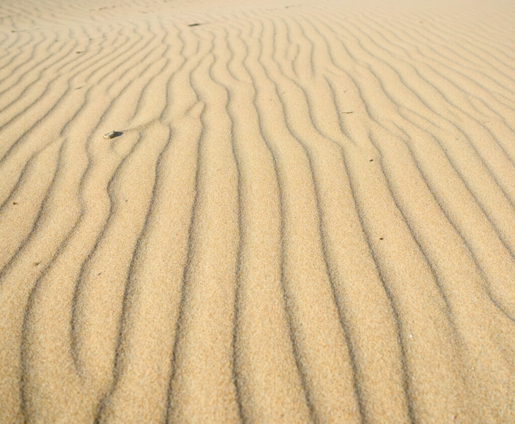
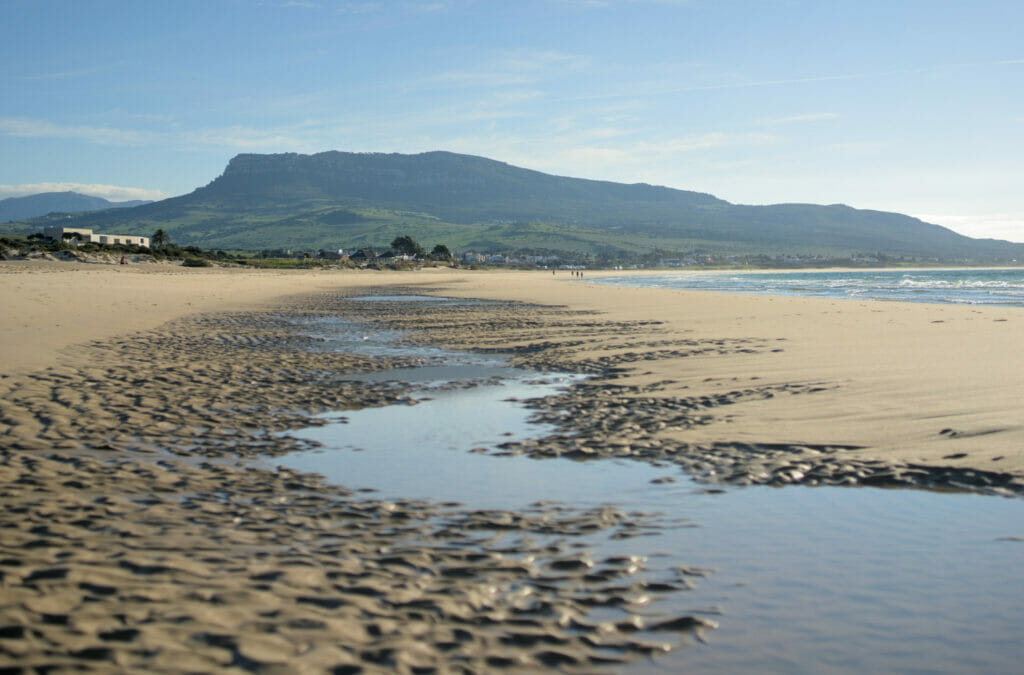
The idea of this trail is to go around the military zone and then to the beach of El Cañuelo. So although it is not the most maintained path in the world, we still loved this section! We pass just at the edge of the water and we are in the first row to admire the waves crashing on the rocks and filling the small natural swimming pools.
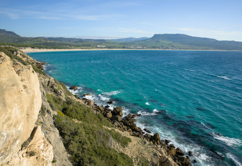
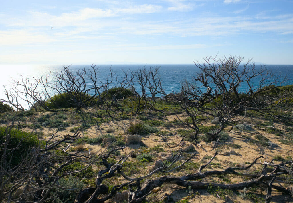
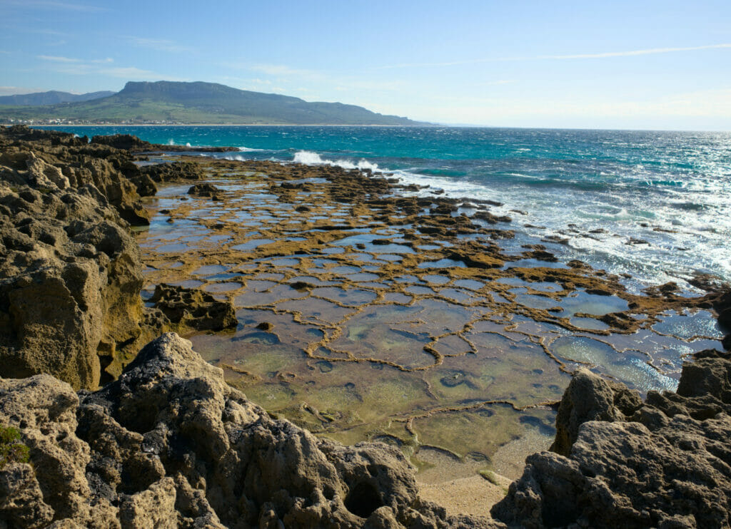
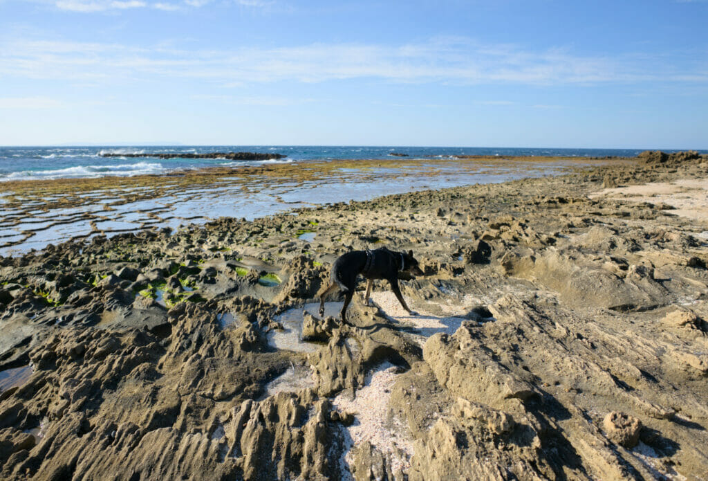
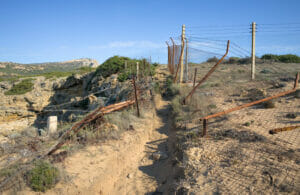
For this particular hike, we recommend that you have the GPS track with you. In fact, as you leave the beach, the trail along the military zone is not marked and in some places it can be difficult to locate the trail. The military zone is clearly barricaded and you have no chance of getting into it by accident, but let’s say that the remains of old fences can put you in doubt (barbed wire is on the ground, so be careful if you are hiking with a dog). But basically, the path follows the coast as closely as possible and in some places you have to plan to walk a bit on the rocks. No major difficulty, but we like to warn you that this is not a perfectly marked and maintained path (but it’s worth it)!
The photo in the box above is the one that marks the end of the military zone. From this point we arrive to the beach of Cañuelo. Less accessible and less known than the one in Bolonia, it is no less beautiful! To tell you the truth, we found it even more beautiful than the first one!
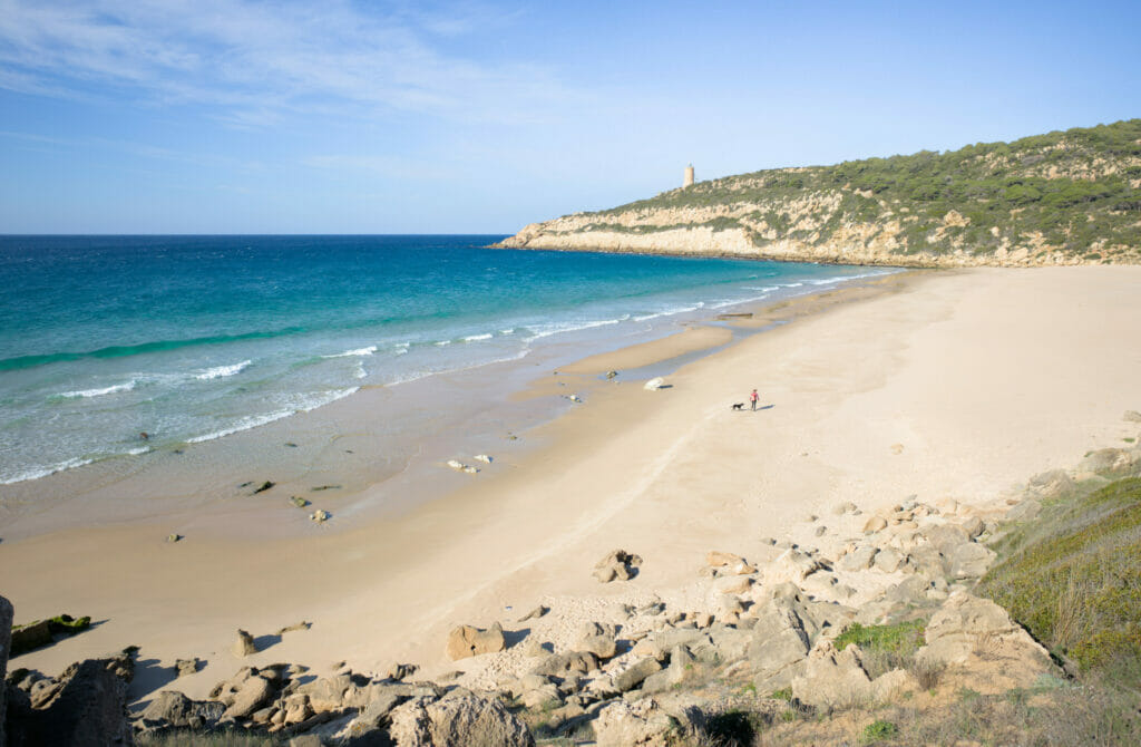
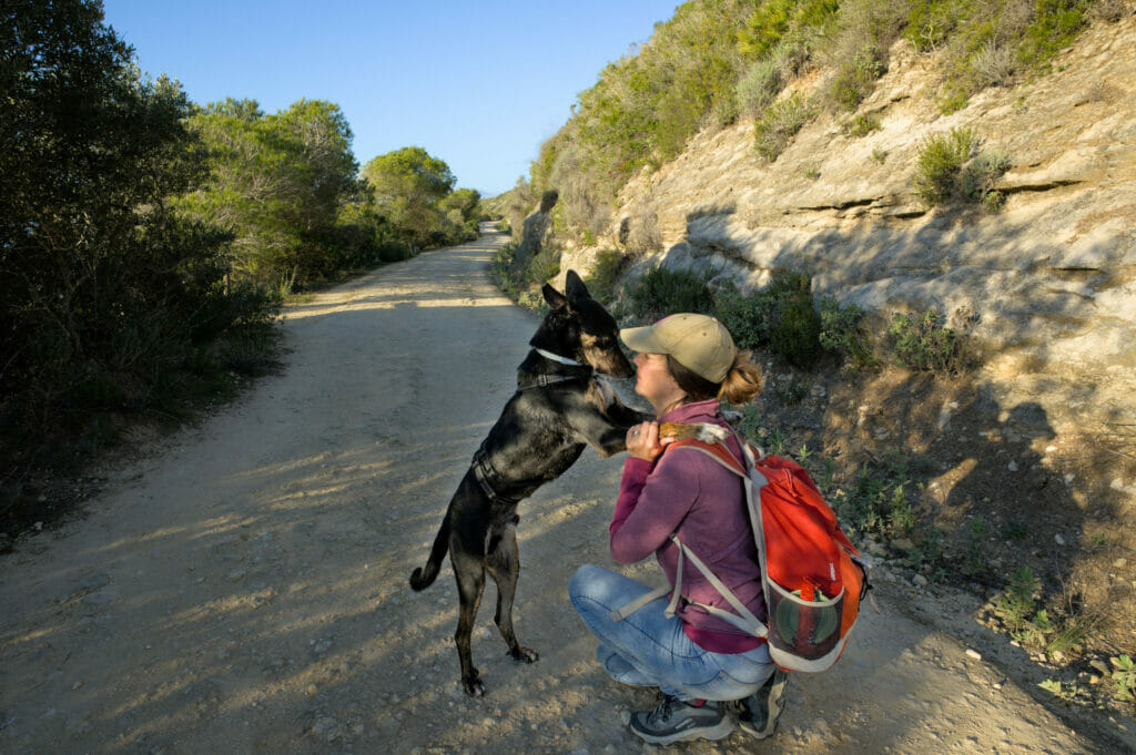
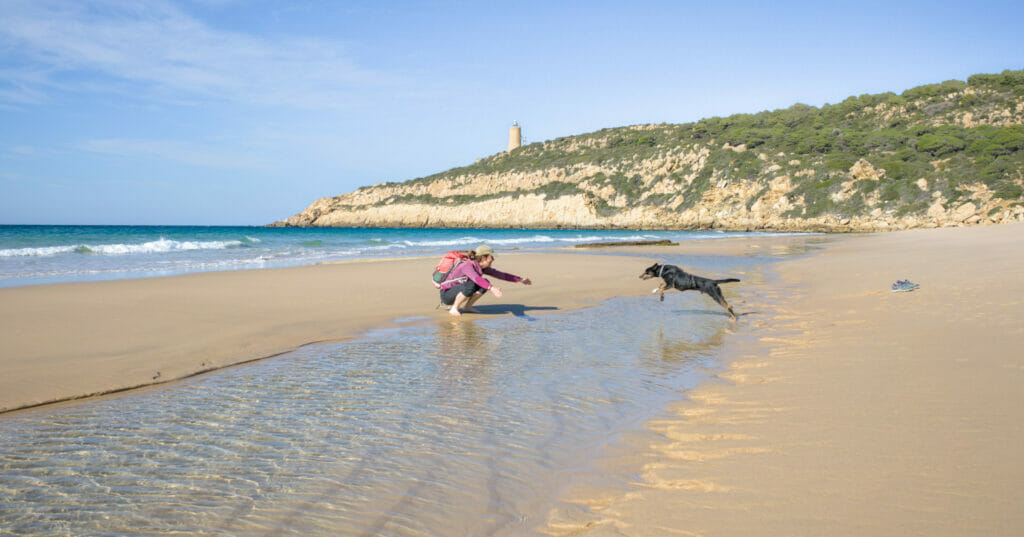
In the middle of January we were the only ones around here… and needless to say that Winchy had a lot of fun running around! In summer, dogs are not often welcome on Spanish beaches, but out of the swimming season there is no problem to bring them!
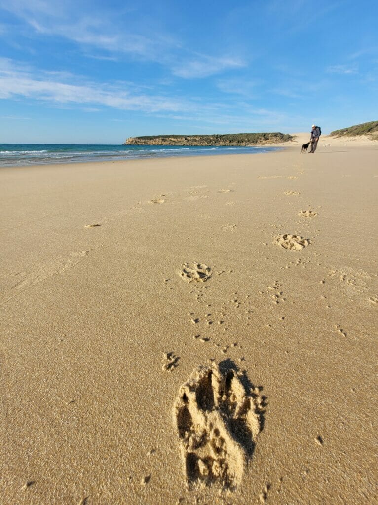
After crossing the beach, we joined the path that goes to the foot of the lighthouse of Camarinal. Before being a lighthouse, this building was a watchtower that protected the coast of Cadiz.
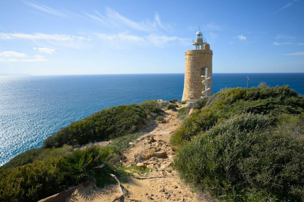
From the lighthouse, it is possible to take a staircase that descends to a mirador from which there is a magnificent view of the beach of Los Alemanes. Does this beach have this name for its visitors? We can’t tell you… We decided to turn around at the lighthouse and did not make it until the beach… 😉
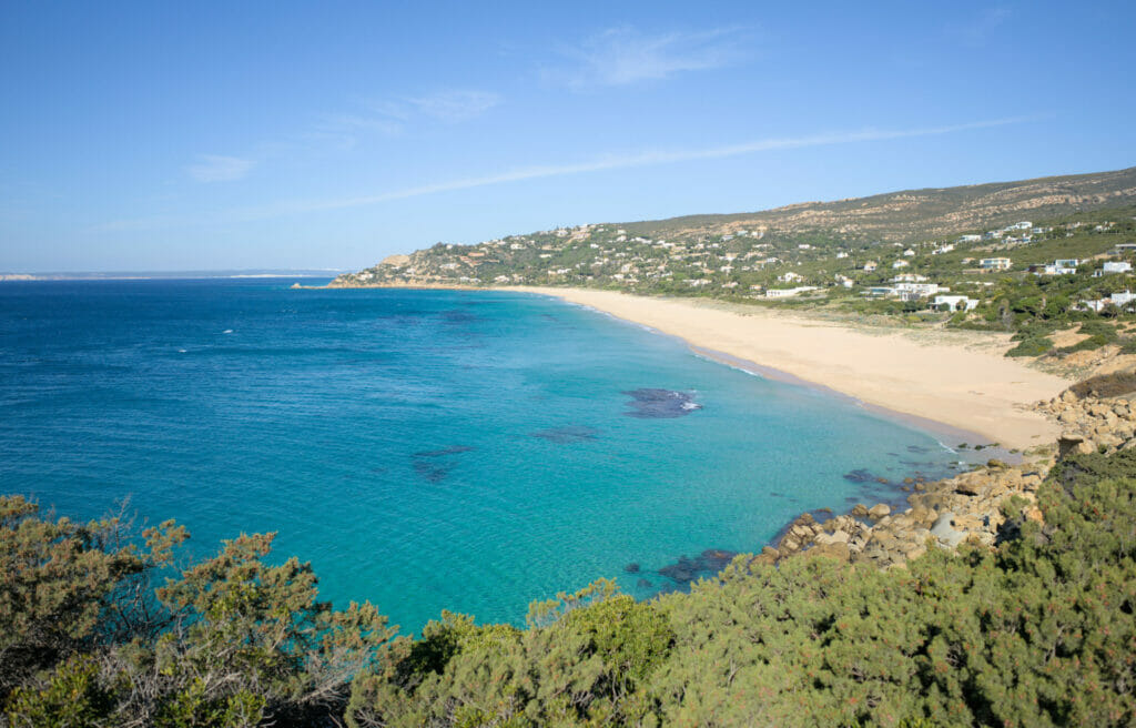
To come back to the beach of Bolonia, we could have gone back on our steps, but we preferred to opt for a more direct variant in order to have still some time to visit the ruins of Baelo Claudia. This route is less scenic but it has the advantage of being much faster! From the lighthouse we followed a wide track that goes up towards the road leading back to Bolonia (there is almost no traffic on this road, so the asphalt part didn’t bother us much to be honest). In order not to follow only the road, we then took a path that goes down in the forest until the beach.
Hiking info: The itinerary is 11 km long with about 200 m of difference in altitude. It took us about 4 hours to do the loop, taking our time…
Visit to the site of Baelo Claudia: the ruins of Bolonia
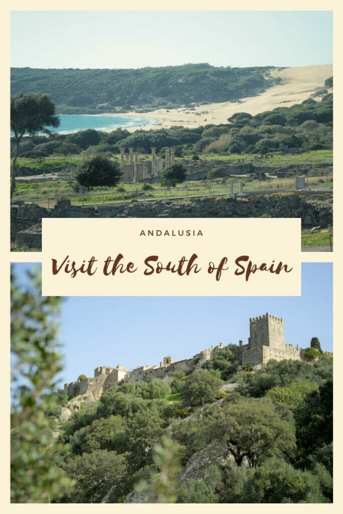
Back at the beach of Bolonia, we decided to go for a little visit of the site of Baelo Claudia. Situated literally on the beach, this ancient Roman city is really worth a visit! The city was founded in the second century B.C. but was only rediscovered in the 18th century. Since then, the site has been classified and restored to be open to the public.
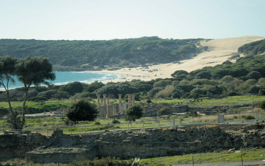
The visit of Baelo Claudia is divided into 2 parts: on arrival, a museum built in a brand new building traces the history of the place and its inhabitants over the centuries. We learn for example that the city was one of the main places of exchange for the trade with North Africa and in particular the port of Tangier.
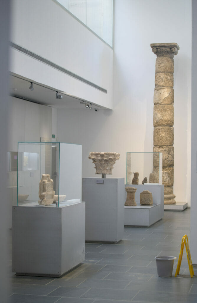
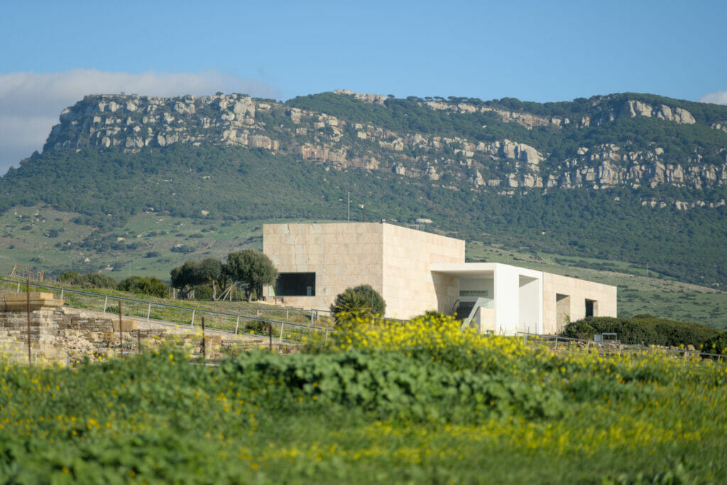
After the exhibition and history part, we leave the building and we can then walk around the site and see the forum (ancient square surrounded by buildings that were once used for the administrative, political and commercial life of the city).
To the northwest of the site, one can also admire the ancient theater which has been remarkably well preserved.
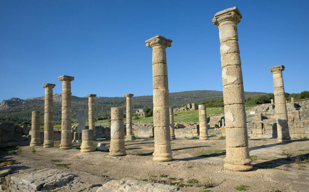
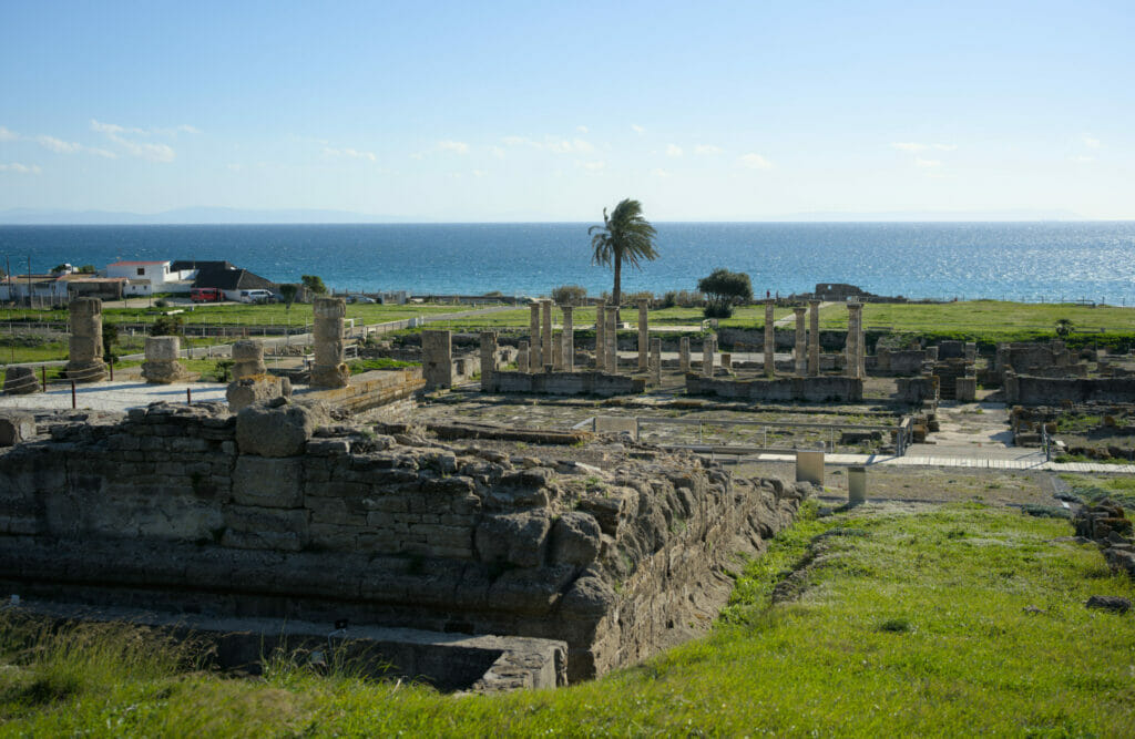
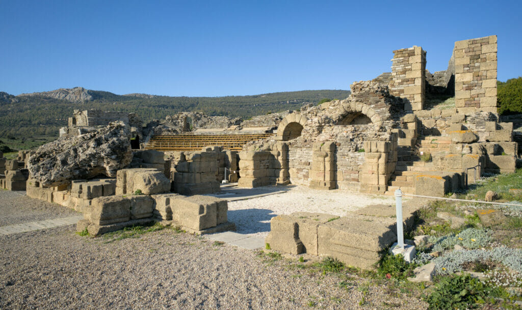
For the visit, everything depends obviously on your interest for “the old stones” but we advise you to foresee at least one hour of time in order to make the tour and to learn a little more about this place.
The official price of the visit is 1,5€, but the entrance is free for the citizens of the European Union. Strangely, with our Swiss passport we didn’t have to pay the entrance fee either… 😉
Small scenic stop at the Mirador de l’Estrecho
The N-340 road is the one that allows you to go from Tarifa to Algeciras and pfiouuu… the least we can say is that it is panoramic. In fact, you have to imagine that you are driving along the mountain which faces the Moroccan coast and the rock of Gibraltar! To admire the view, there are several places where you can stop but if we had to recommend only one, it would probably be the Estrecho viewpoint.
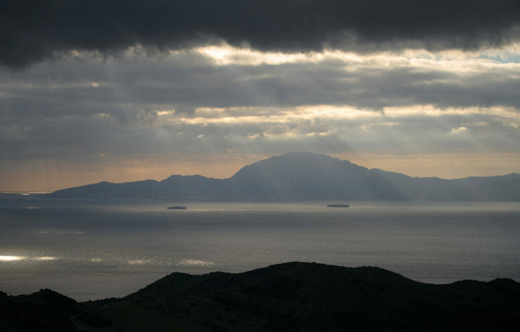
Located at the top of the road, this viewpoint offers a breathtaking view on the coast! Unfortunately, the weather was not very clear when we were there, but from the pictures we could see online, this place seems even more incredible in clear weather.
To discover Andalusia we travelled with Dahu, our van. Out of season, we really enjoyed this way of traveling and we sincerely think that it is the best way to explore the area. Finding places is relatively easy in Andalusia.
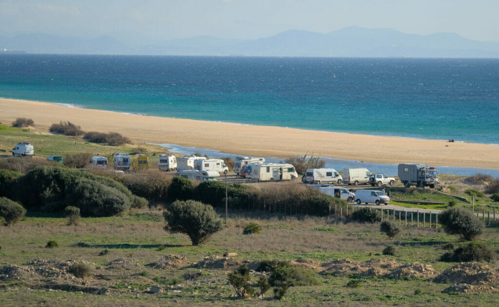
Out of season, there are many “wild” spots where it is tolerated to spend the night (the best application to find places is most certainly Park4Night even if for our part we also often find places some while hiking 😉 ). And if not, we found that in Andalusia they have a lot of designated campers areas (free or paying) which are good to spend the night in the more touristic places or in the protected natural areas. To rent a van in Andalusia you can look at Yescapa for rental between individuals or on BlackSheep for a rental from the pros.
If vanlife is not your thing, then a combination of rental car and traditional accommodation is also great! To rent a car we advise you to look at the departure of the big cities like Malaga, Sevilla or Granada, it is from there that the rentals are the cheapest. To compare, we advise you as usual to use the website Rentalcars.
The Rio de la Miel: a small hike where we would have loved to go further
As we left the southern tip of Spain to head back to our rental in Jimena de la Frontera, we decided to make a short stop near the town of Algeciras. Our initial idea was to follow a hiking route along the rio de la Miel. Unfortunately, we hadn’t prepared our itinerary well and had missed the information that this hike requires a permit (it’s a protected part of the Alcornocales Natural Park).
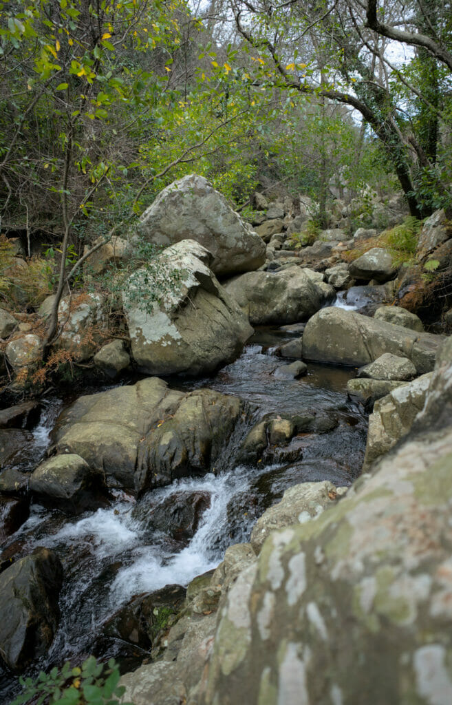
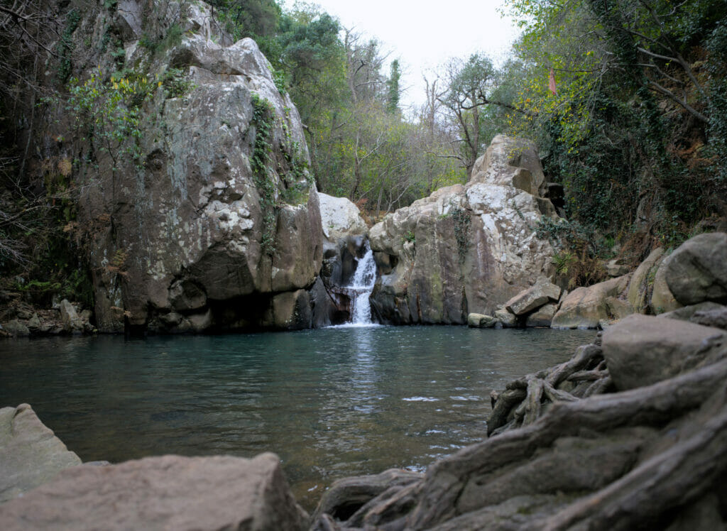
In the end, our hike was shorter than expected and we had to stop at the first waterfall. I put below the itinerary we followed, but clearly if we had to do it again we would try to get the permit because the most beautiful part is clearly the one in the park… The beginning of the itinerary is not very interesting as we follow a track for the first kilometer (and the last one as it is a round trip). On the map below I put a marker (N°1) at the place where we would have wanted to go.
Permit information: To obtain a permit, go to the visitor center (Carretera Alcalá – Benalup, km 31(A-2228), Alcalá de los Gazules) or send an email (pnalcornocales.dtca.cagpds@juntadeandalucia.es)
If you have applied for the permit and want to do the whole loop, here is the link for the track we had initially planned to follow.
Castillo de Castellar de la Frontera
The village
We have seen many beautiful white villages in Andalusia, but frankly, Castillo de Castellar de la Frontera is probably one of our favorites! And it’s no coincidence that it’s on the official list of the most beautiful villages in Andalusia.
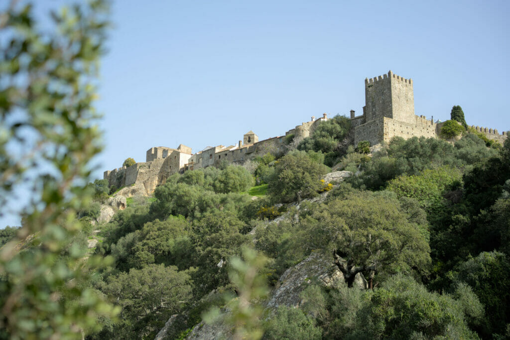
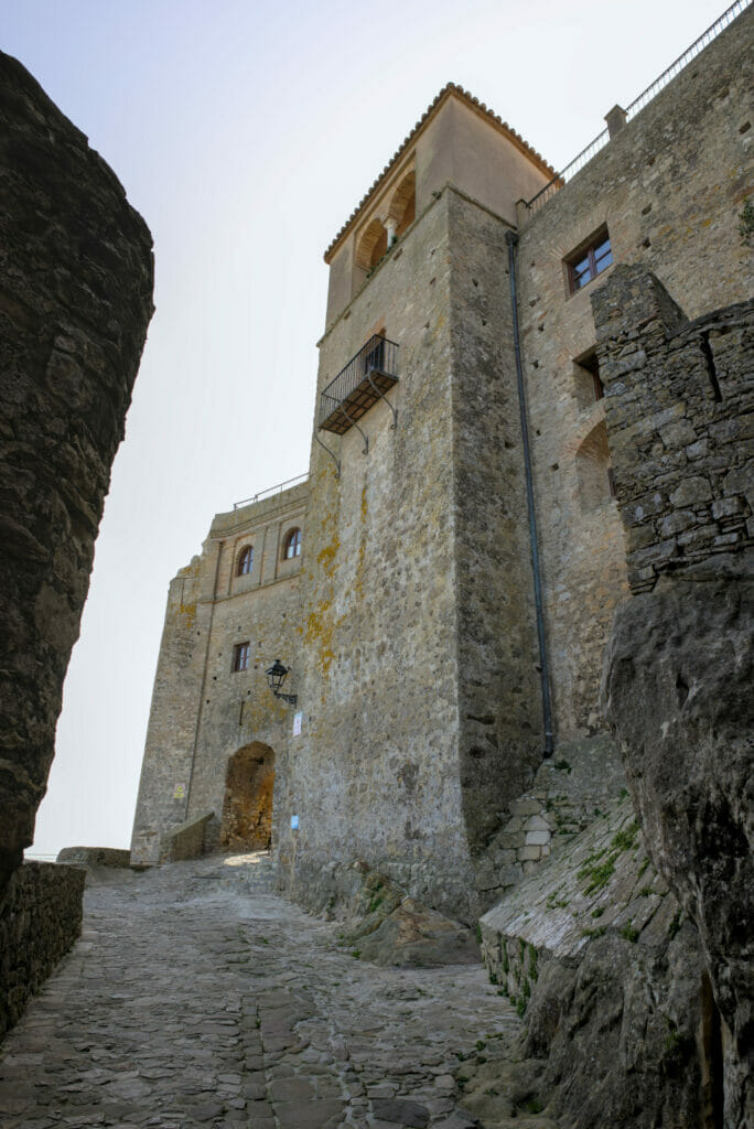
It’s actually funny, because the name would suggest that it’s just a castle, but it’s actually a miniature fortified village that overlooks the village of Castellar de la Frontera (the main village where most of the homes and businesses are located). Castillo de Castellar dates back to the 13th century and is located within the natural park (the village is just outside). The castle has been converted into a hotel and the various houses that surround it house mainly small handicraft stores and tourist accommodations and, according to the last census, 133 inhabitants. 😉
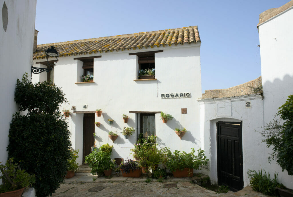
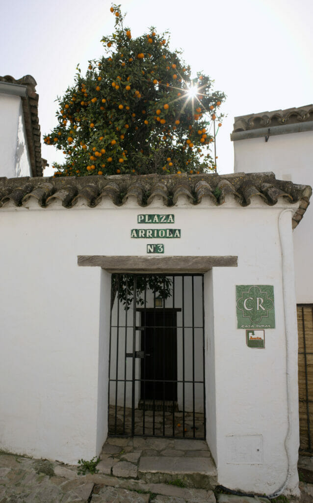
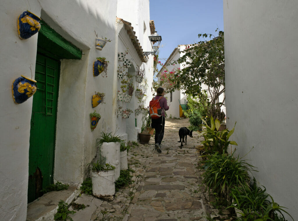
What is strange is that when you arrive at the foot of the castle you don’t imagine the mini maze of alleys that is hidden behind the walls. We really enjoyed walking around here and observing all the little details on the facades!
Our hike around Castillo de Castellar de la Frontera
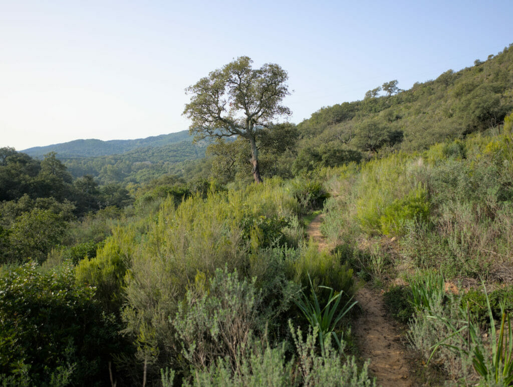
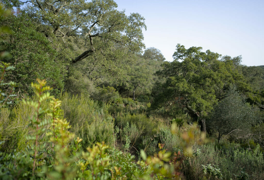
You are beginning to know us… Visiting a village is nice, but if we can add a little hike to it, it’s even better, right? Anyway, instead of parking in the village, we decided to stop a few kilometers before, along the road leading to the village. From there, we followed a very nice path called “el Cañuelo” that allows us to discover many cork oaks. By the way, the name of the natural park Los Arconocales comes directly from the name of this tree (it is literally the translation).
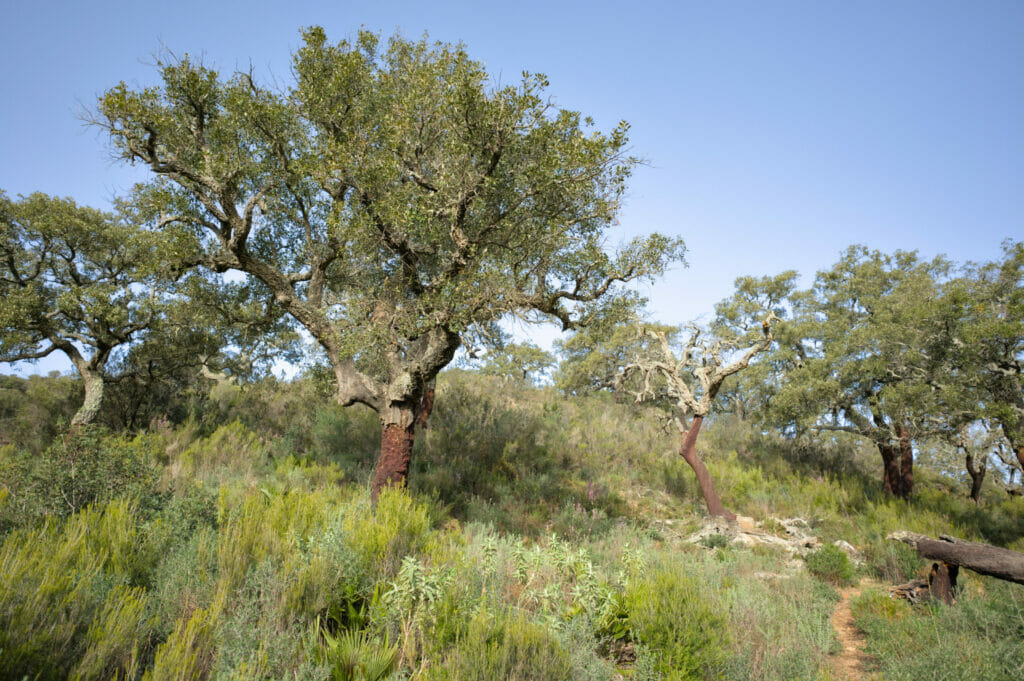
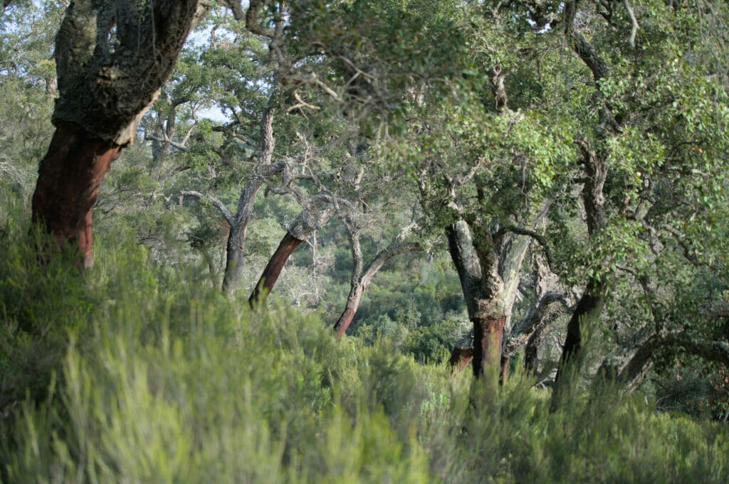
At the end of the crossing, we join a small road that goes up towards the main road leading to Castillo de Catellar de la Frontera. You will notice on the map below, that a path is leaving in direction of the lake and that it would allow to make a loop that avoids following the road… Well… we tried to follow this route (and obviously people followed it if we look on Wikiloc) but unfortunately at the time of our passage 2 rows of barriers (very dissuasive) were installed at the entry of the path.
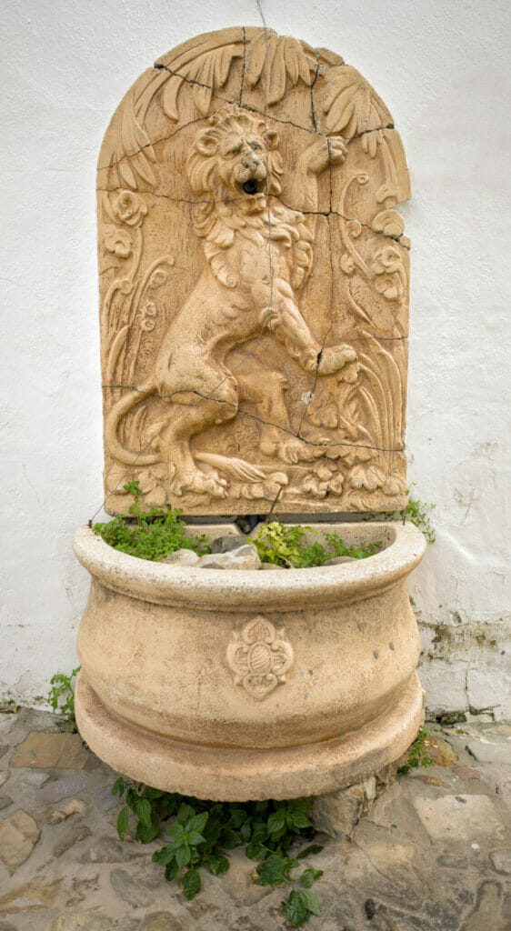
In short, we didn’t really have any other choice than to follow the road back to the village. After, it is important to specify that the road ends at this place and there is really no traffic! We saw exactly one car while walking on these 2 kilometers of asphalt. Shortly before the village, we made a small detour to see the old fountain.
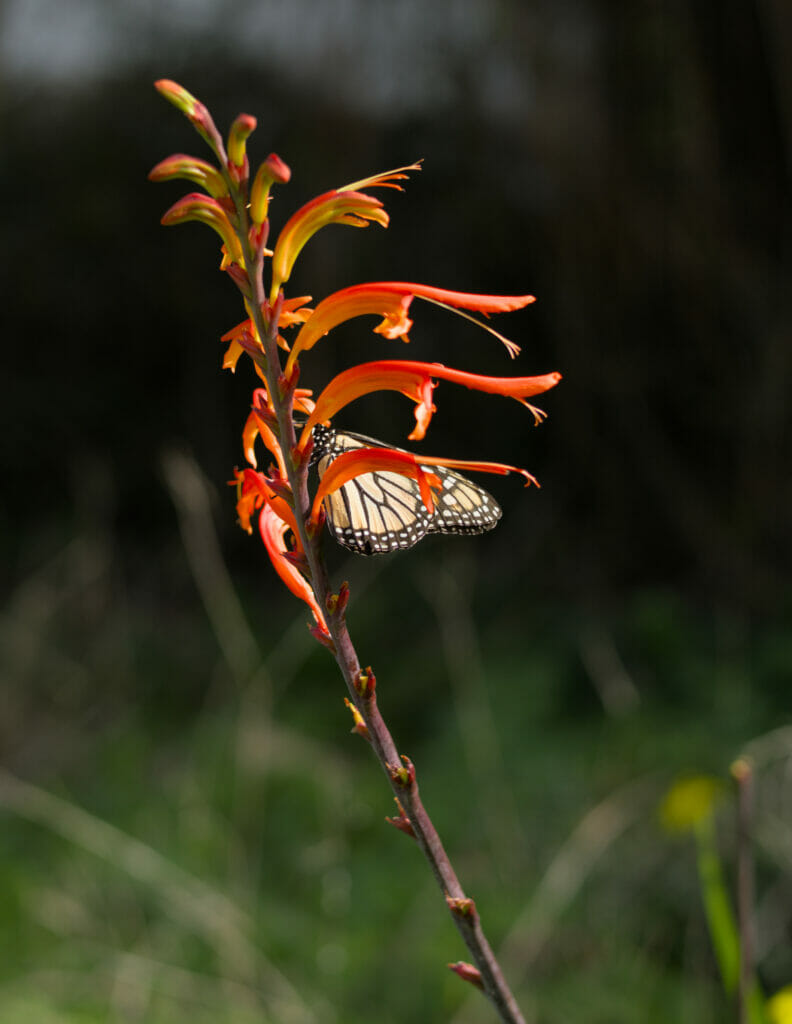
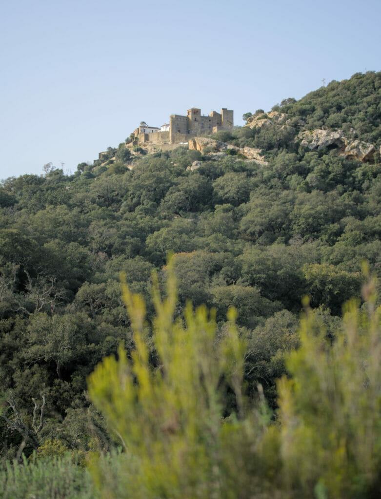
Once in the village, we walked around the old town and then to the magnificent viewpoint of La Calzada. Right above the viewpoint is a small restaurant that offers the best views, needless to say, a little coffee break was mandatoryr! From the viewpoint, a path zig-zags down along what almost looks like a Roman road to the parking lot. A nice loop of about 8,5 km for which we took about 4 hours (we took the time to stroll in the village and to stop for coffee at the viewpoint). If you want to do the same walk, here is the map of the route we followed:
Jimena de la Fronterra: Sweetness of life in south of Spain
If you have been following us for some time, you may have seen that we travel mainly with our van (Dahu of its little name that we presented to you here). And although we are under the charm of vanlife, we are the first to say that it is sometimes pleasant to settle down a little. Anyway, after 1 month of roadtrip we wanted to have more space, to do some laundry and especially to be in a good environment to get some more work done. We decided to stay in the small town of Jimena de la Frontera to “put our van to rest” and enjoy the Spanish way of life from a small rental apartment located in the old town (more about this below).
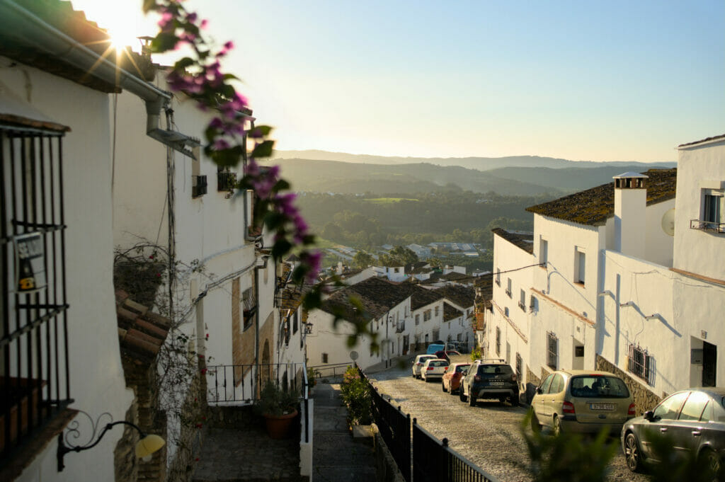
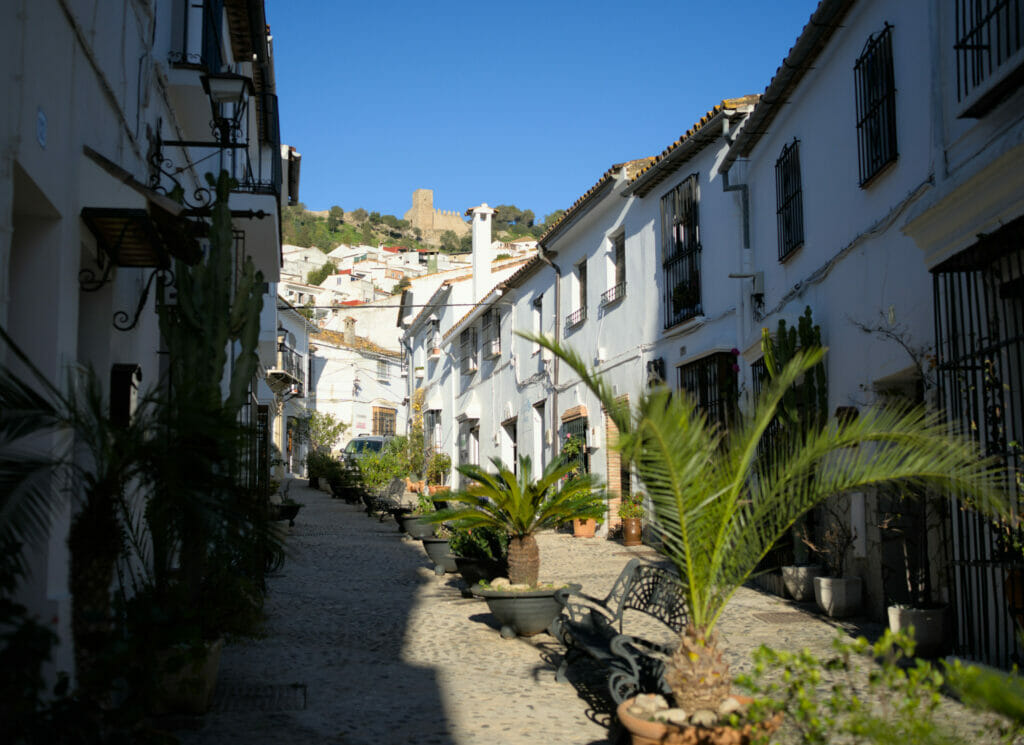
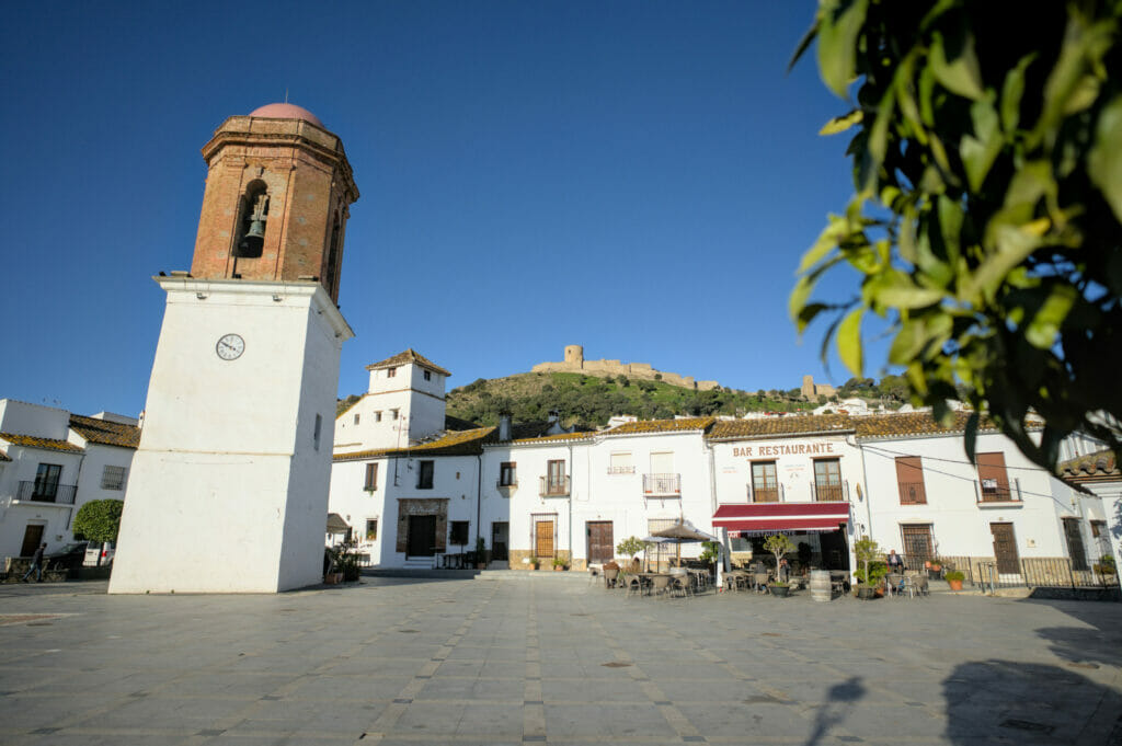
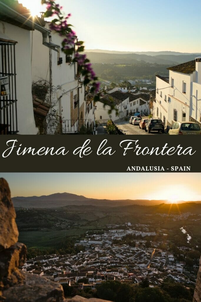
Jimena de la Fronterra is really a nice little town where it’s nice to stroll around! In fact, Jimena is divided into two distinct areas: the lower part (new) and the upper part (roughly above the Plaza de la Constitucion) which is more old and typical. The VERY steep alleys that go up towards the castle will have made us sweat while bringing up our groceries, but it is also definitely the most charming part of the city.
Our little Vivienda Rural in Jimena de la Frontera
Our little apartment was located in one of the narrowest streets of the old center, right at the foot of the castle. If we chose this apartment it was, on one hand because it accepts dogs (rare enough to be noted) but also for its pretty terrace with a nice view 😉 Well ok, the fact that there was an optic fiber internet connection also added some extra points. 😉
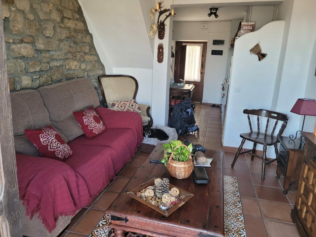
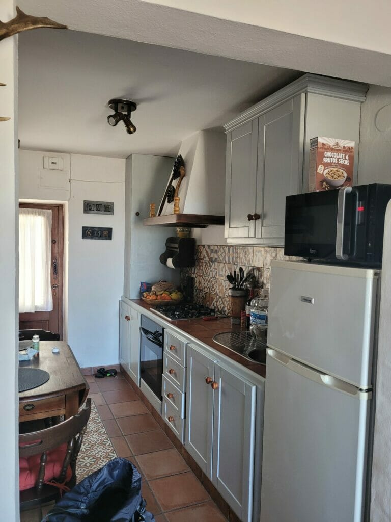
In short, we spent 14 days in this little cocoon where our days were punctuated by work sessions, walks in the nature with the dog and evenings on the terrace or by the fire. A nice little routine that we easily got used to (and Winchy too).
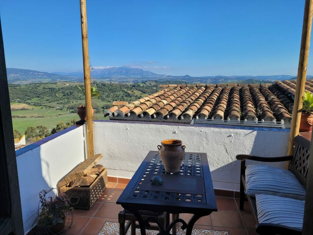
Besides, if you come to Andalusia we really recommend you to spend a few days in one of these “Vivienda Rural”. You can find tourist accommodations in many villages and it’s really a very nice way to discover a region! In Jimena, we quickly settled in the neighborhood: the bakery, the mini-mart run by a nice man, some exchanges with our neighbors (one of our neighbors was even determined to make us buy an apartment in the street… he thought it was the prettiest city in the world and that we should REALLY consider it. Spoil: we didn’t visit his property despite all his convincing powers)
To find a place to stay in a village we usually go through Booking. If you are curious, this is the little house we rented (but there are plenty of others in the area). Budget wise, it was around 45€ per day.
If you are interested in our general budget, find here our total budget for our stay in Andalusia.
The castle of Jimena de la Frontera
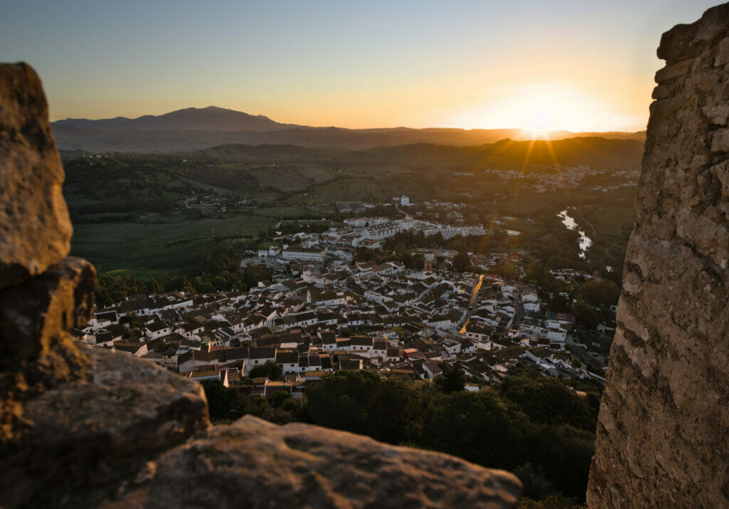
To be honest, there are relatively few must-sees in Jimena in terms of monuments, but if we had to mention only one then it would probably be the castle! Located at the top of the hill that dominates the village, it was for a long time a key defense point for the Moors at the time of the Muslim domination. Its first foundation dates back to the 8th century by the Umayyads (the Arab dynasty that controlled Andalusia at that time). But the castle, in its current form, was built between the thirteenth and fifteenth centuries when Jimena was on the border of the Nasrid kingdom.
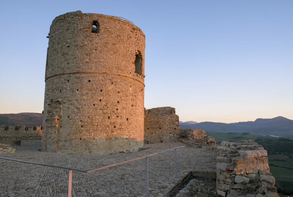
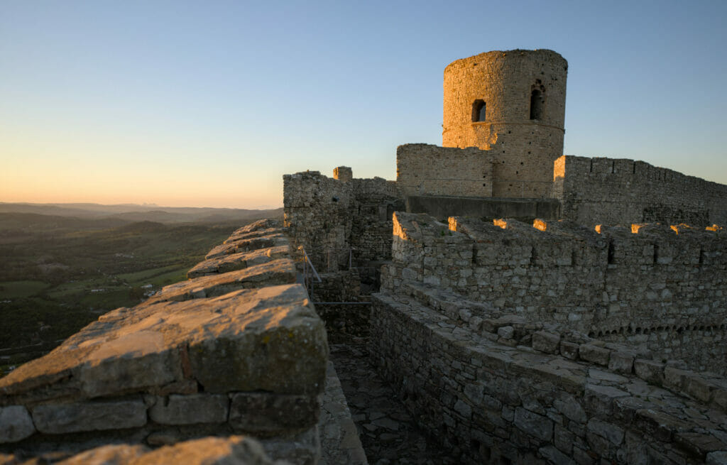
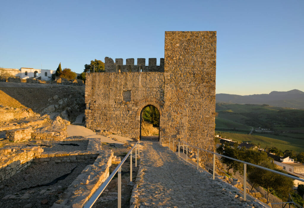
The castle is still very well preserved (it has also been very well restored) and it is possible to walk freely between the different ramparts and towers. The access is free and open at any time. As we were staying just below, we often went up at sunrise or sunset to enjoy the beautiful lights (and walk the dog) 😉
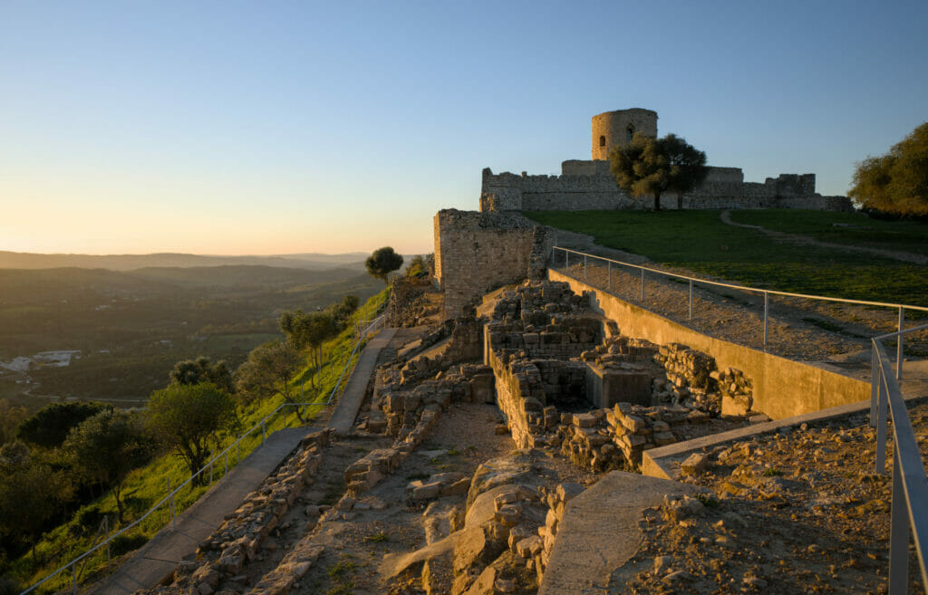
Parking: A parking lot is available at the foot of the castle. Officially open to traffic, we still advise you to avoid the alleys of the old Jimena with a vehicle (and even less with a van) unless you are not particularly attached to your mirrors (and have strong nerves ;)) If you want to save yourself the climb on foot in the old town, you should know that it is possible to park at the entrance of the old upper town. To do so, enter “Camping los Arnocales” in your GPS and then go to the beginning of the village (there are spaces just before entering the narrow streets). Just make sure that the GPS takes you through the road C-3331 and not through the old town.
The Sendero del Rio Hozgarganta
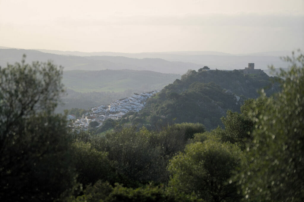
The most famous and most frequented hike in Jimena de la Frontera is called the Sendero del Rio Hozgarganta. Having stayed 2 weeks in the village, I can say that we did it almost every day with Winchy and we know it almost by heart 😉 As the days went by, we wanted to diversify the walks a bit and that’s how we came up with an “improved” version of the official path that allows us to see a bit more of the area!
The hike
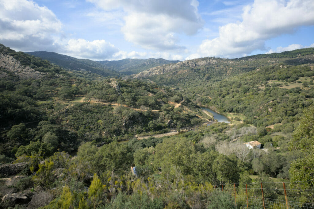
Starting from the top of Jimena, we first followed the road that passes in front of the campsite to join the GR7 route. The path looks like an old Roman road and makes us gain a few meters of altitude quite quickly. After a small kilometer along the GR, we take to the left to join the mirador “Puerto de las Asomadillas”.
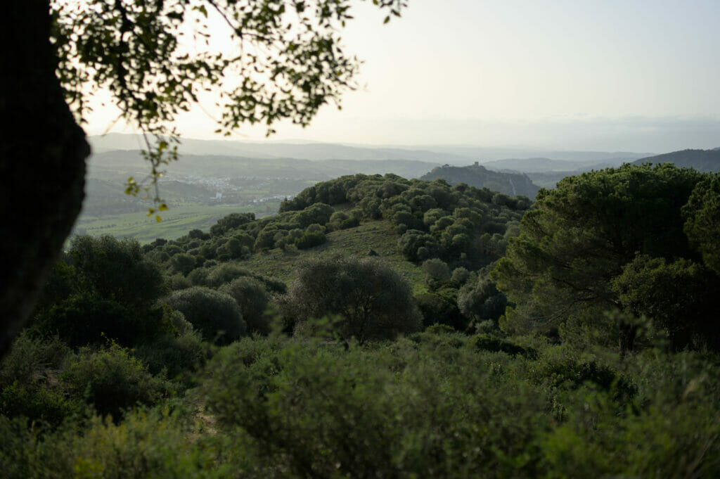
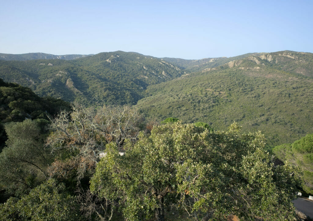
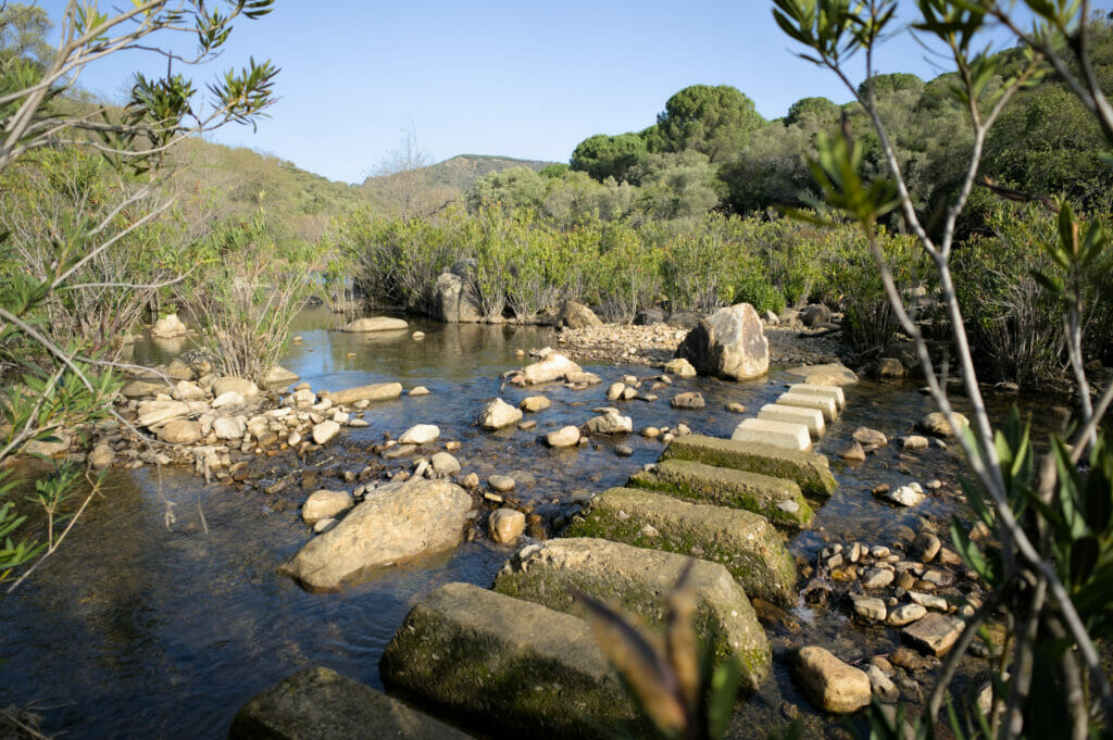
From the viewpoint, the path plunges down to the Hozgarganta River through the forest. Once at the water’s edge, all that remains is to follow the beautiful path that borders the river. After 1.5 km, we reach a farm. At this point you have to go straight ahead to cross the river again on a passageway with stones to find the official path on the other bank.
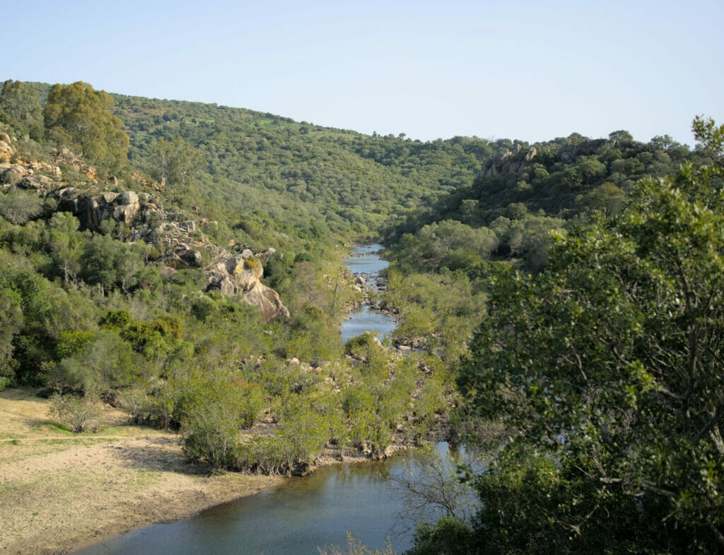
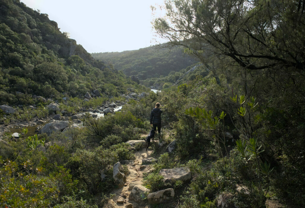
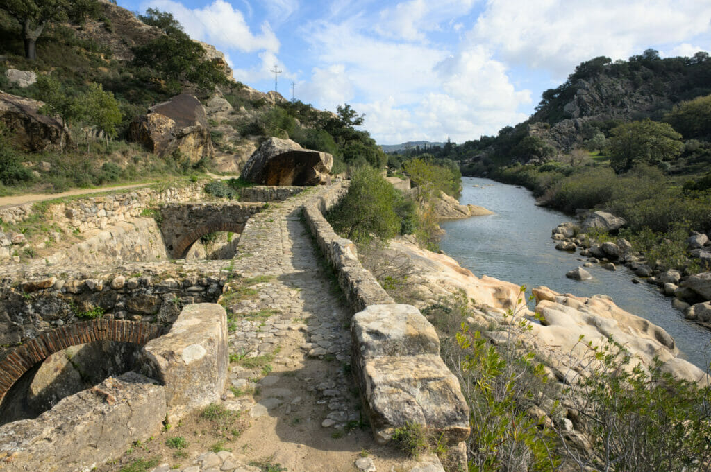
On the last part of the route along the river we reach the canal of the Real Fábrica de Artillería, an irrigation system that brought water to the premises of an armament factory inaugurated in 1780. This period corresponds to the siege of Gibraltar and it is assumed that this factory produced weapons for the colonies located in the American territory. However, the Royal Artillery stopped its activities only 9 years later due to the lack of regularity in the water flow of the Rio Hozgarganta (it is a river that has strong variations in level according to the seasons).
Once at the foot of Jimena, the hike continues through the narrow streets that climb towards the castle and the viewpoint of La Grieta before returning to our starting point.
Rio Hozgarganta hiking info (our version 😉 )
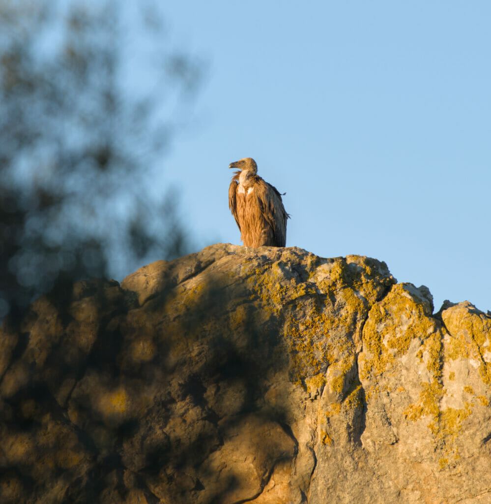
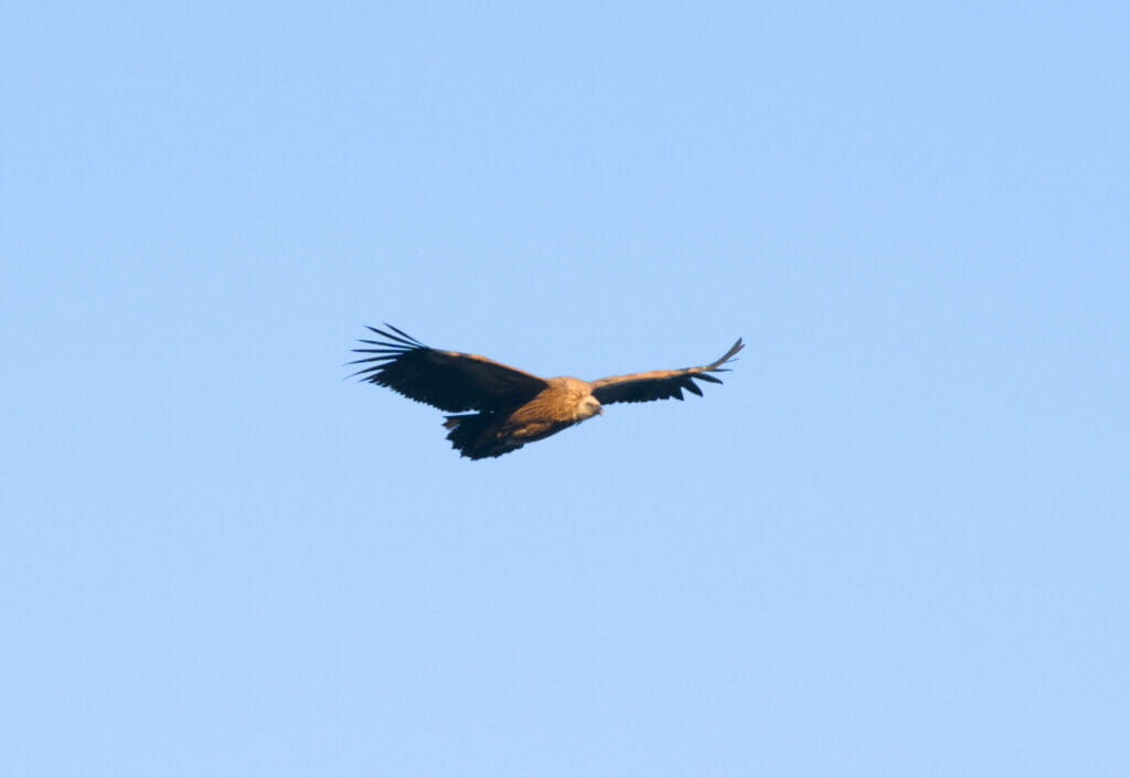
As mentioned above, we did not follow the official version which is shorter. If you want to do the official version, it is basically the same loop, but taking only the lower part of the route below (you go back up to the village at the campsite, I put the track in yellow on the map). If you do the short version, we still recommend the detour to the viewpoint of La Grieta in the high part of Jimena, this is the place where you will have the best chance to observe the vultures of the natural park.
This longer version is 13km (vs. 5km for the short one). If you have the time, we clearly recommend the long version because the extra stretch along the river and the miradors of Balcon and Puerto de las Asomadillas are really worth it! To do the long version, we advise you to allow 4-4h30 (including the visit to the castle and the detour to the viewpoint of La Grieta).
The road to the Andalusian white villages
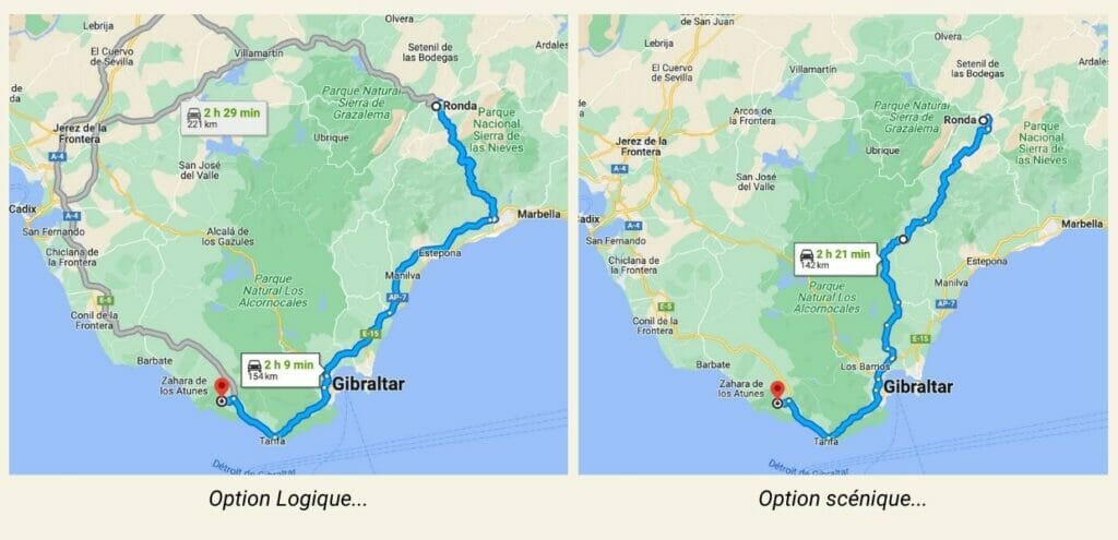
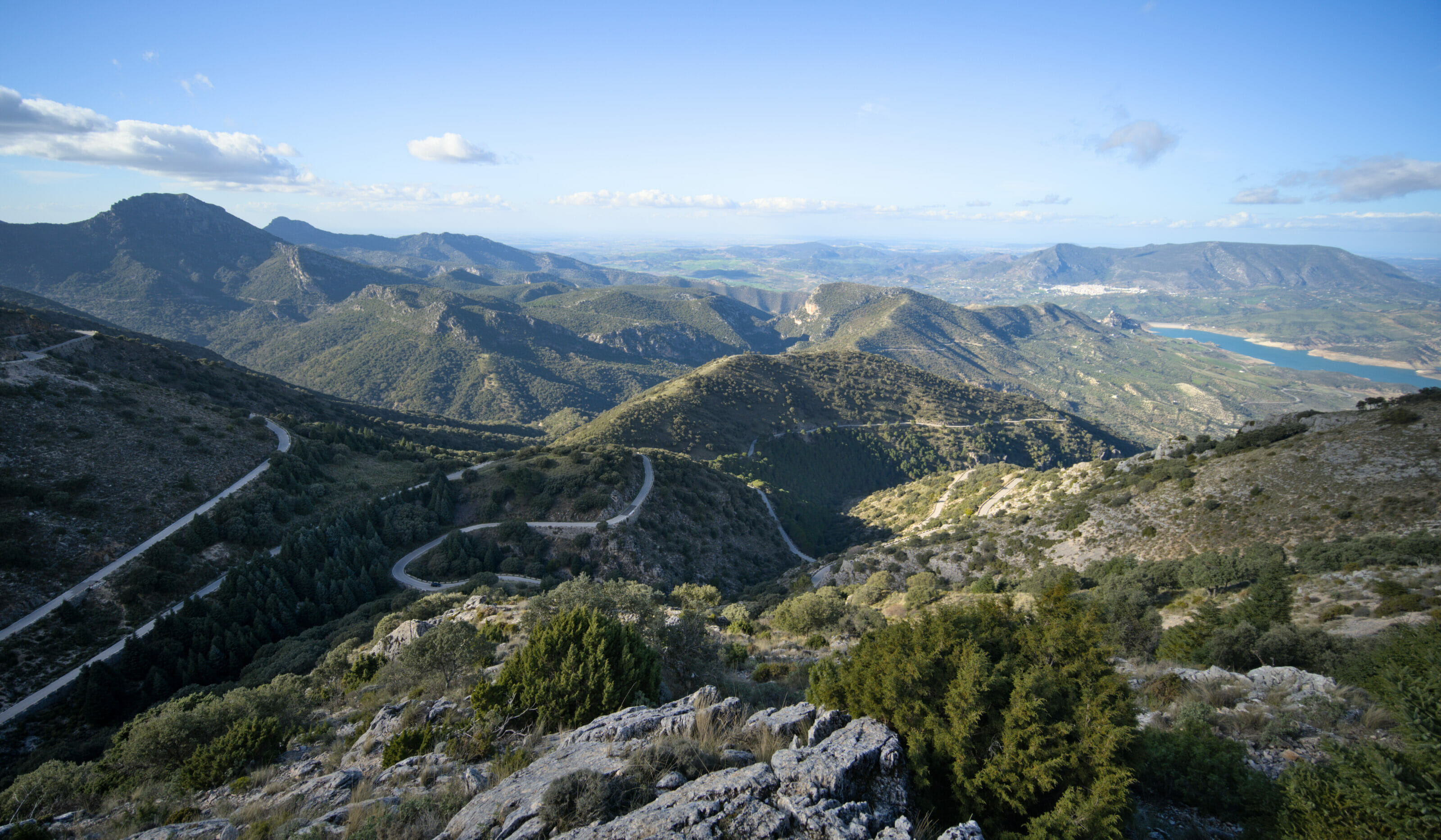
To finish this article we wanted to add one last little piece of advice if you are planning to drive from Ronda to the southern tip of Spain. Following the GPS, the most “direct” and quickest way is to go down to the coast and then follow the highway. For a trip from Ronda to Bolonia, for example, this corresponds to a trip of 2 hours and 09 minutes. But if you have 10 minutes more to spare (we will assume that being on a holiday this is the case), we strongly advise you to take the road that passes through the land. On the one hand the panorama is superb, but especially you will pass by many small absolutely magnificent villages! We were a bit in a hurry and did not take the time to stop in the villages, but the road alone is worth it.
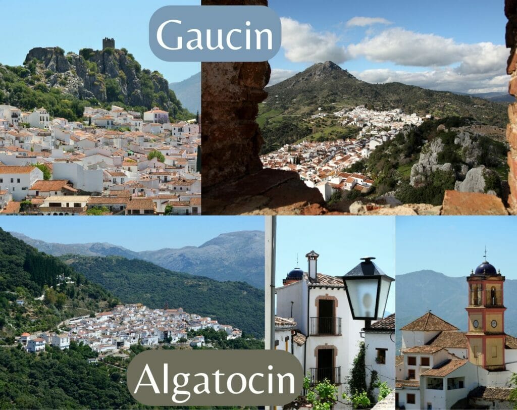
The small white villages perched like those of Gaucin or Algatocin are superb and since the road one has already a very beautiful sight.
That’s it, this time I think that’s all for today. We hope you enjoyed this article and that it gave you some great ideas to discover the area! If you want to discover more articles about Andalusia, we invite you to visit this page (we have written more than 10 articles about this region)
Pin it
Note: This article contains affiliate links to partner sites. When you use our links to book an accommodation or a car rental, you obviously don’t pay anything extra but we do get a small commission. This allows us to continue to offer you free, independent and ad-free content. Thank you for your support.
Join the discussion