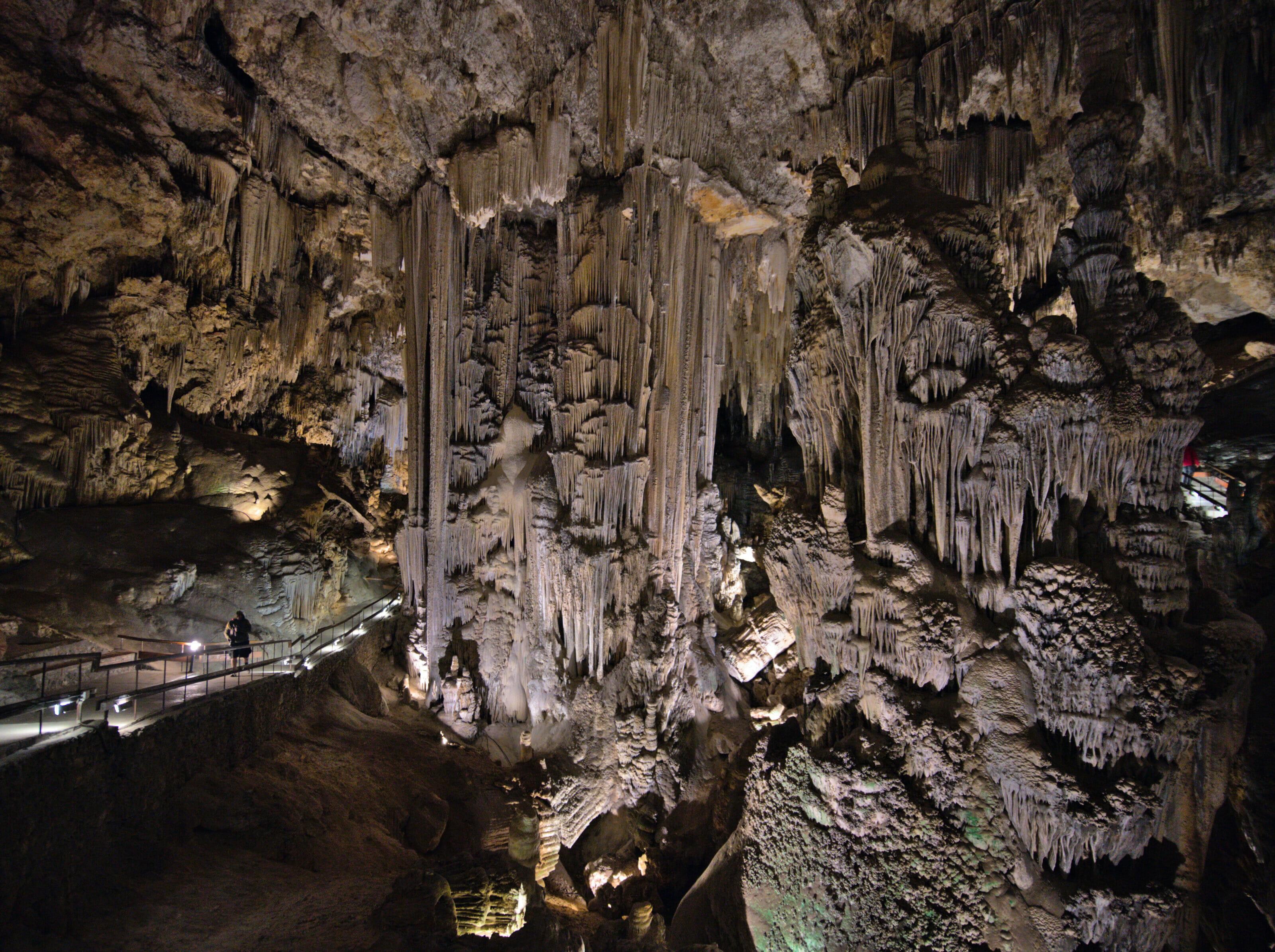
We continue our series of articles about Andalusia with a magnificent village located at a few kilometers only of the caves of Nerja which we spoke about in our last blog post. In fact, we even made the visit of Frigiliana (as well as the hike) the same day as the caves. So if, like us, you want to combine the two, you should know that it is quite feasible in terms of timing if you start early at the caves.
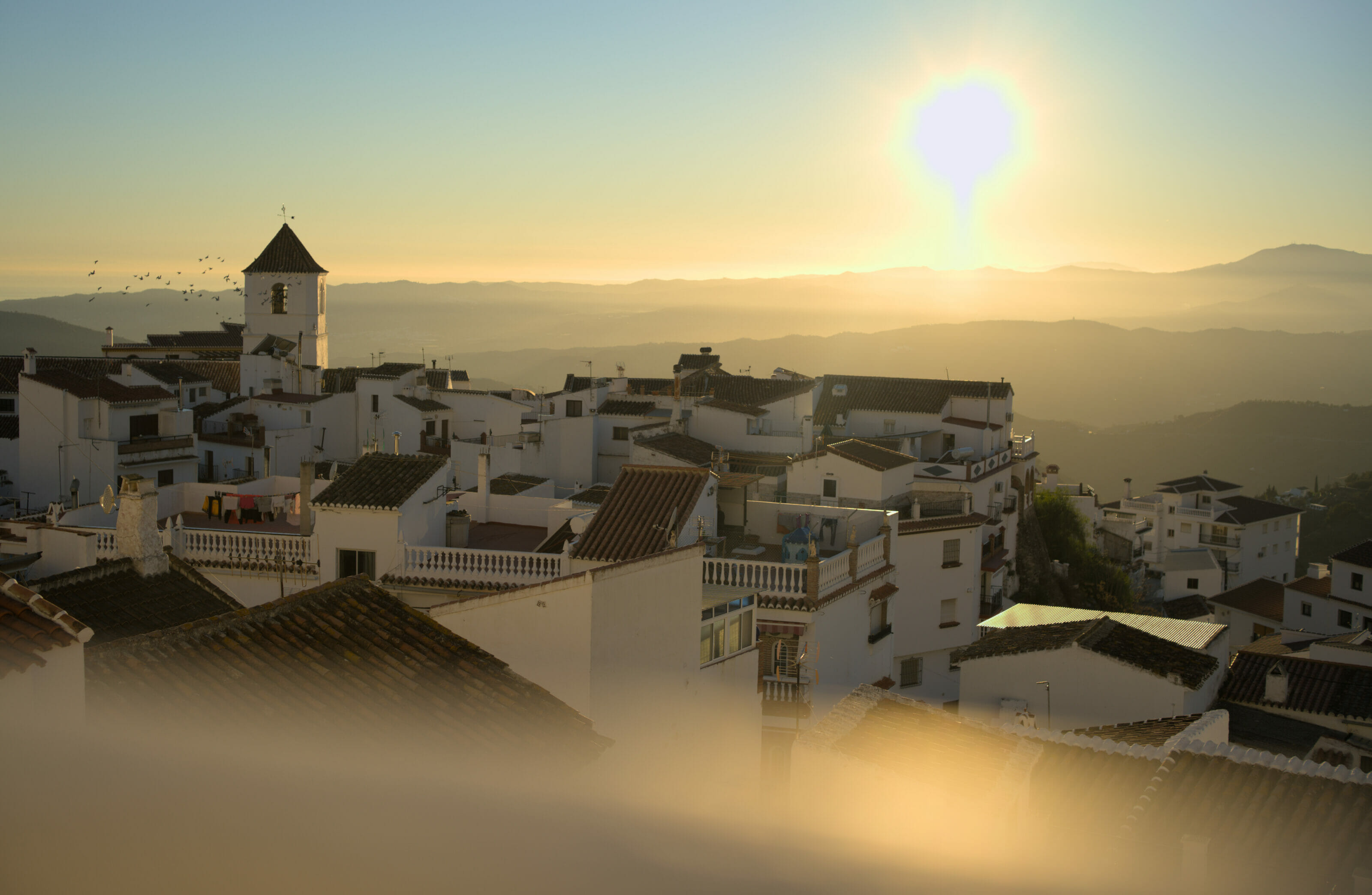
Frigiliana: the lovely white village on the mountainside
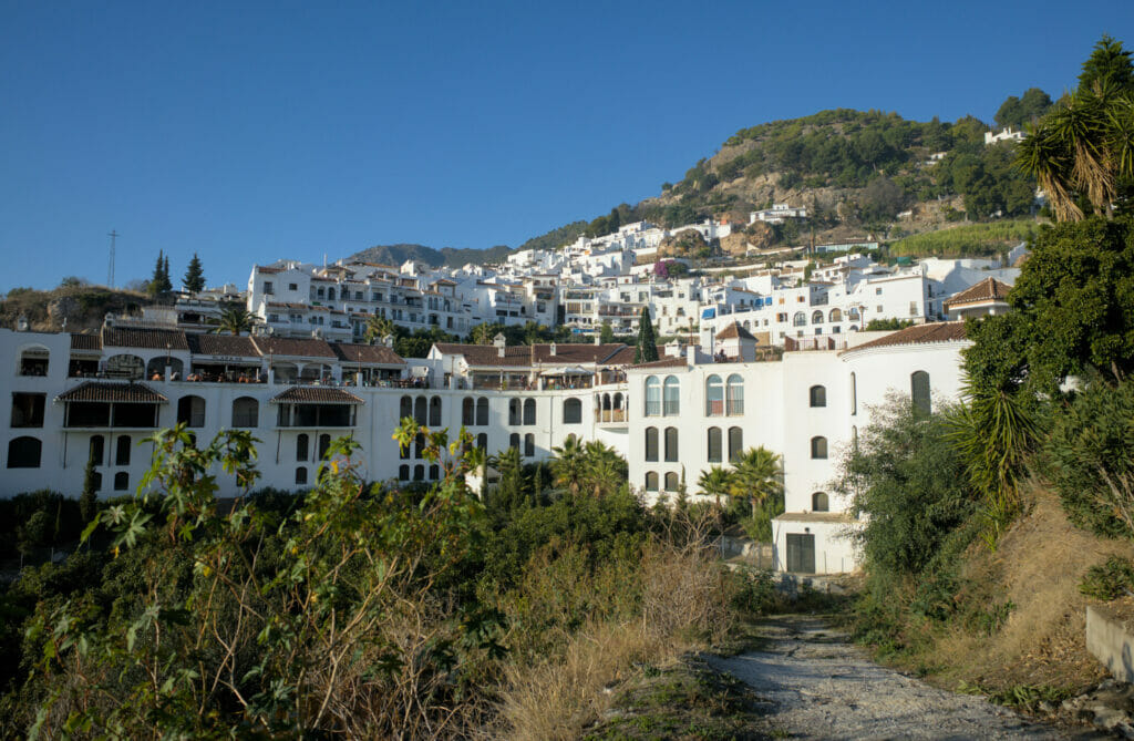
The small town of Frigliana is located in the province of Málaga (in the La Axarquia region), some 20 minutes drive north of Nerja. The town is particularly well known for its exceptional location on a mountainside with a spectacular view of the coast and for its narrow streets with Arab influences. Moreover, Frigiliana is a member of the association "of the most beautiful villages of Spain" and we have no trouble understanding why 😉
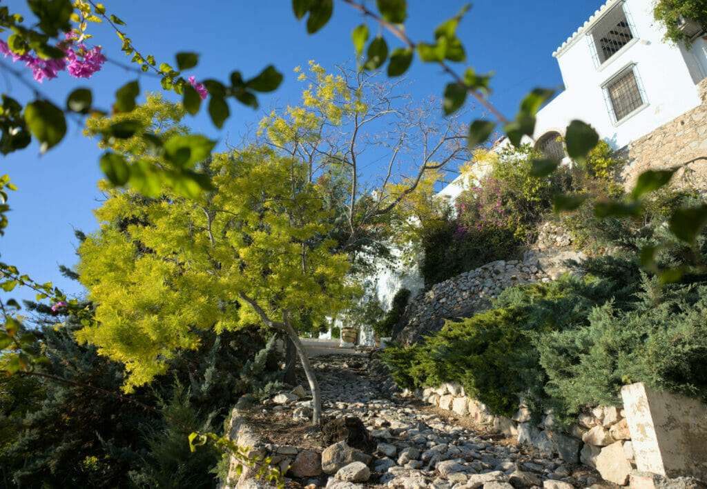
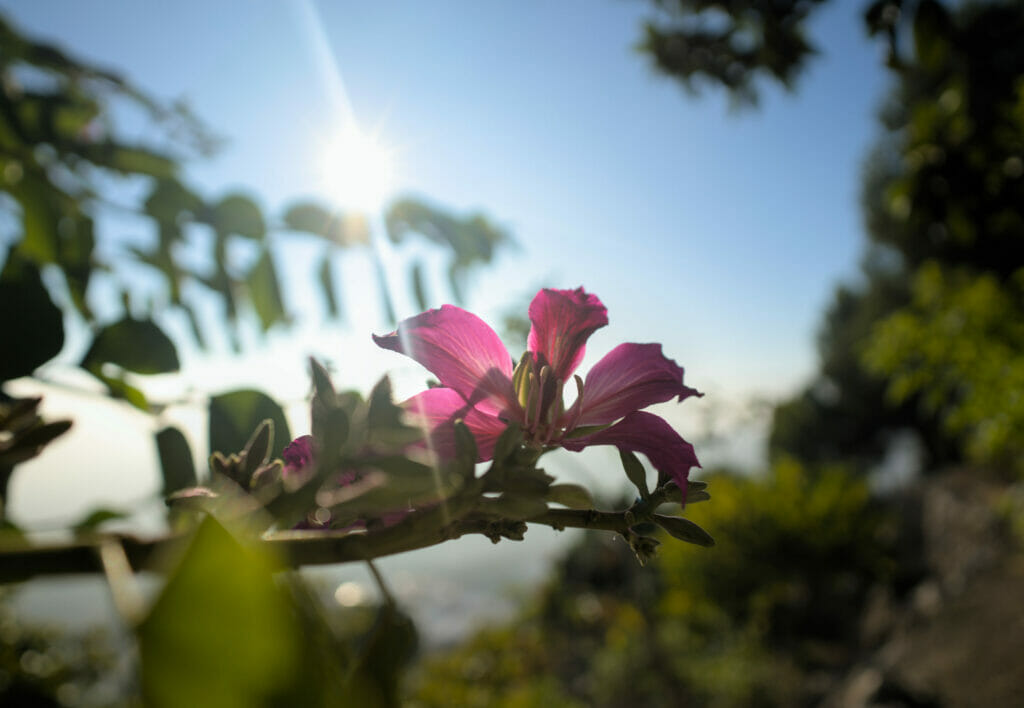
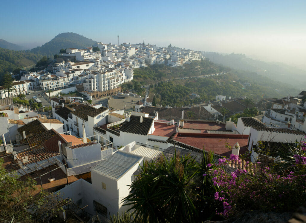
Tip: if you speak Spanish, you should know that there is a free walking tour twice a day in the city (only in Spanish!). Unfortunately the schedule was not compatible with our hike, so we didn't do it, but in general we always find that these free tours are a good way to discover a place (the tour is free, with registration, and at the end you leave a tip according to your level of satisfaction)
Our hike around Frigiliana
Well, cities are nice, but if you read us from time to time, you will surely have noticed that we rarely stroll all day in a village. If we came here, it was also to go for a little walk. We take you along?
Going up the Higueron river
The first part of the walk consisted in joining the Higueron river bed which is east of the white village. To go down, the easiest way is still to follow the small road (there are some paths, but they are for some very steep… Don't ask me how I know that 😉 ) In short, following the winding road is a much better option!
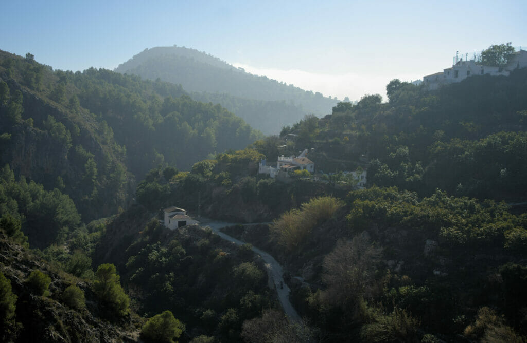
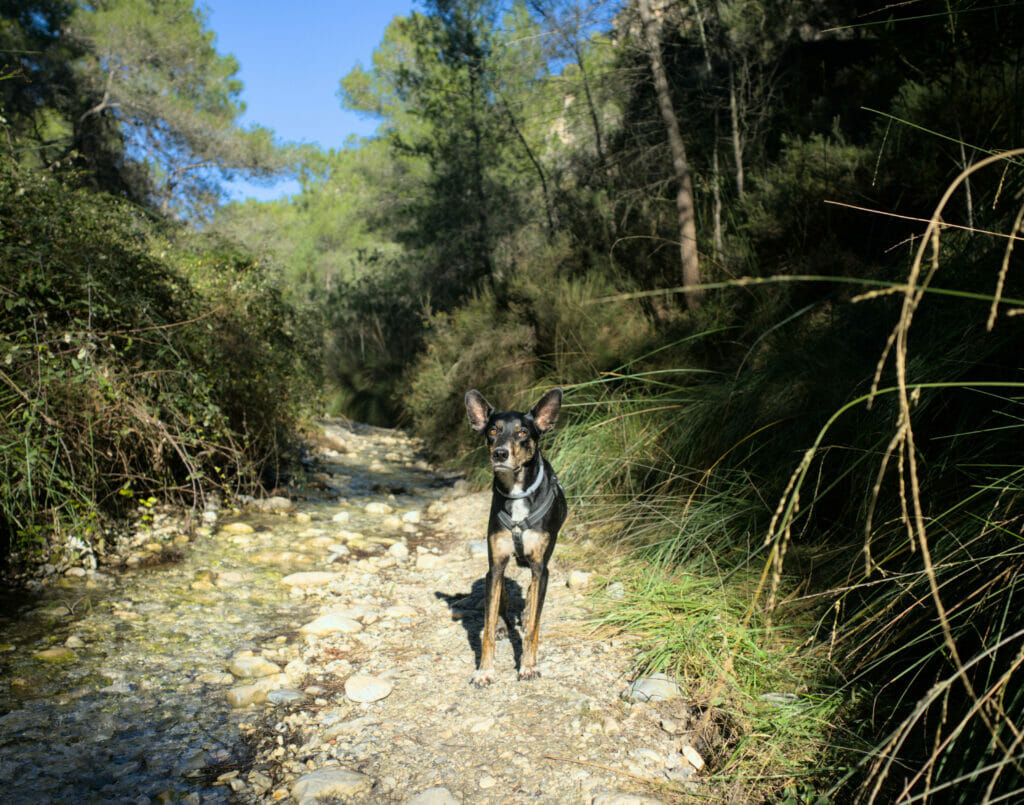
Once on the other bank, we also "officially" enter the territory of the natural park Sierra de Tejeda, Almijara and Alhama (yes, the name of this park is quite long! 😉 )On the first 3 kilometers it is extremely easy to follow the stream (almost dry) without getting your feet wet. A well-marked path is also present on a good part of the course. On the other hand, on the last kilometer (roughly after the fork where the GR 242 turns to the right) it becomes a little more "wet". In fact, the itinerary is really easy to follow because it is literally following the river. But let's say that the more present vegetation makes the operation of "not getting wet" a bit more delicate. Benoit and Caroline opted for the technique of jumping from rock to rock, while I preferred to take off my sneakers and enjoy an invigorating walk barefoot in the fresh water (remember that we were there on December 31) 😉 Shortly before the 4th kilometer, a path starts on the left to go up the valley.
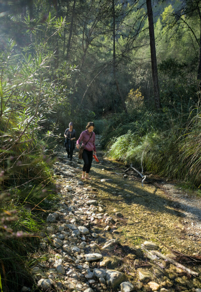
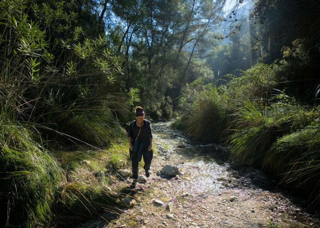
To find your way, we advise you to have the GPX trail with you (you can download it from our Alltrails map) or simply to have the free Maps.Me application with you, having taken care to download the map of the area beforehand (there is no network at the bottom of the valley). The trail that goes up is clearly indicated so you can't go wrong.
Once you have left the Higueron riverbed, the path winds up to the canal. Don't worry though, the path is well marked (and regularly used) and the climb is relatively short.
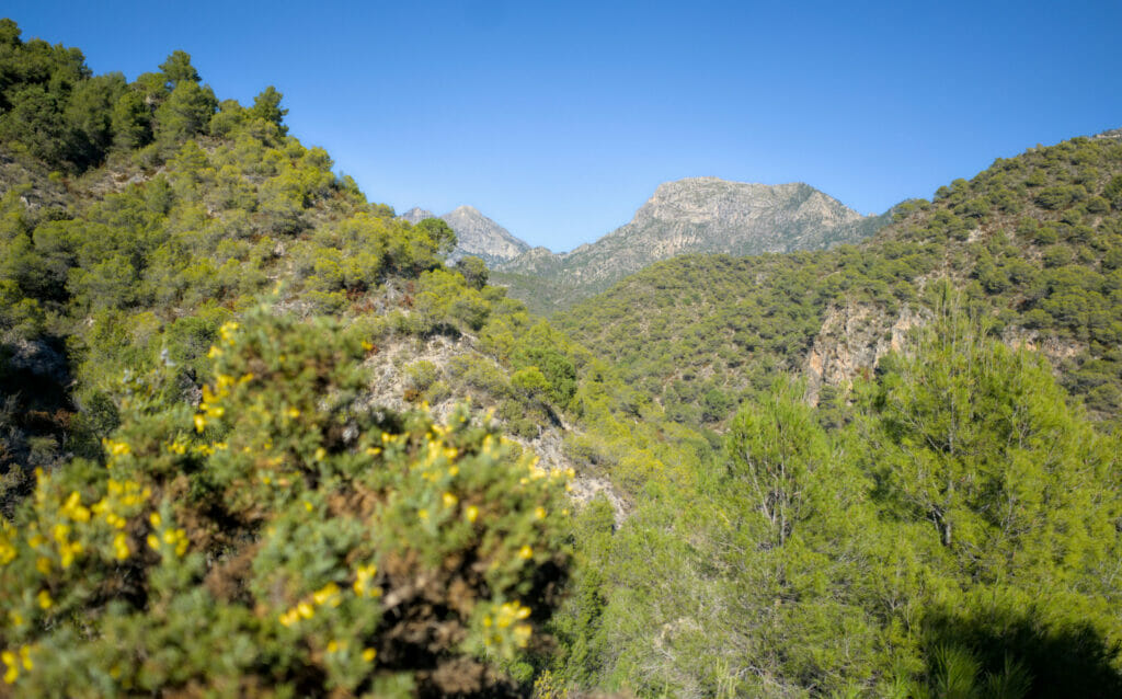
Panoramic walk along the Frigiliana canal - Acequia de Lizar
From this point on, there is no need to worry about orientation! You'll know you're done with the climb when you reach the irrigation canal (called Acequia de Lizar) that runs from the valley floor (and draws water from the Higueron River) to Frigiliana. Once at the canal, simply follow it to the left for about 2.5 km. The path is perfectly flat (because of the canal) 😉
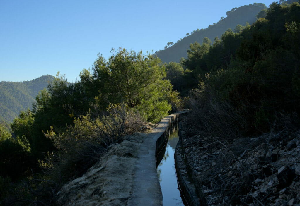
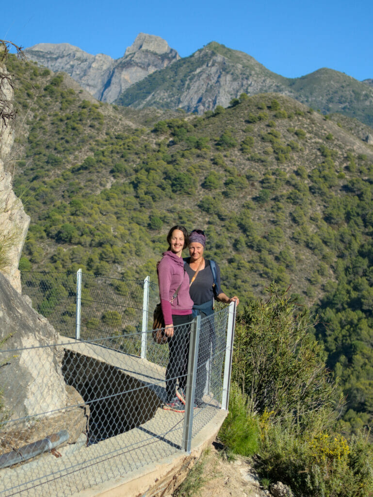
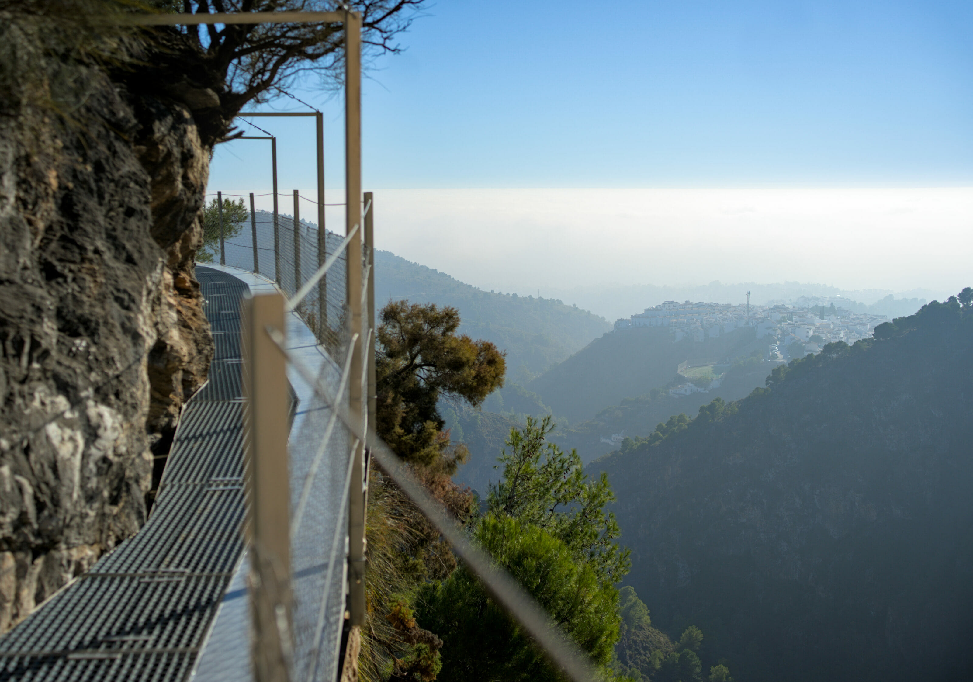
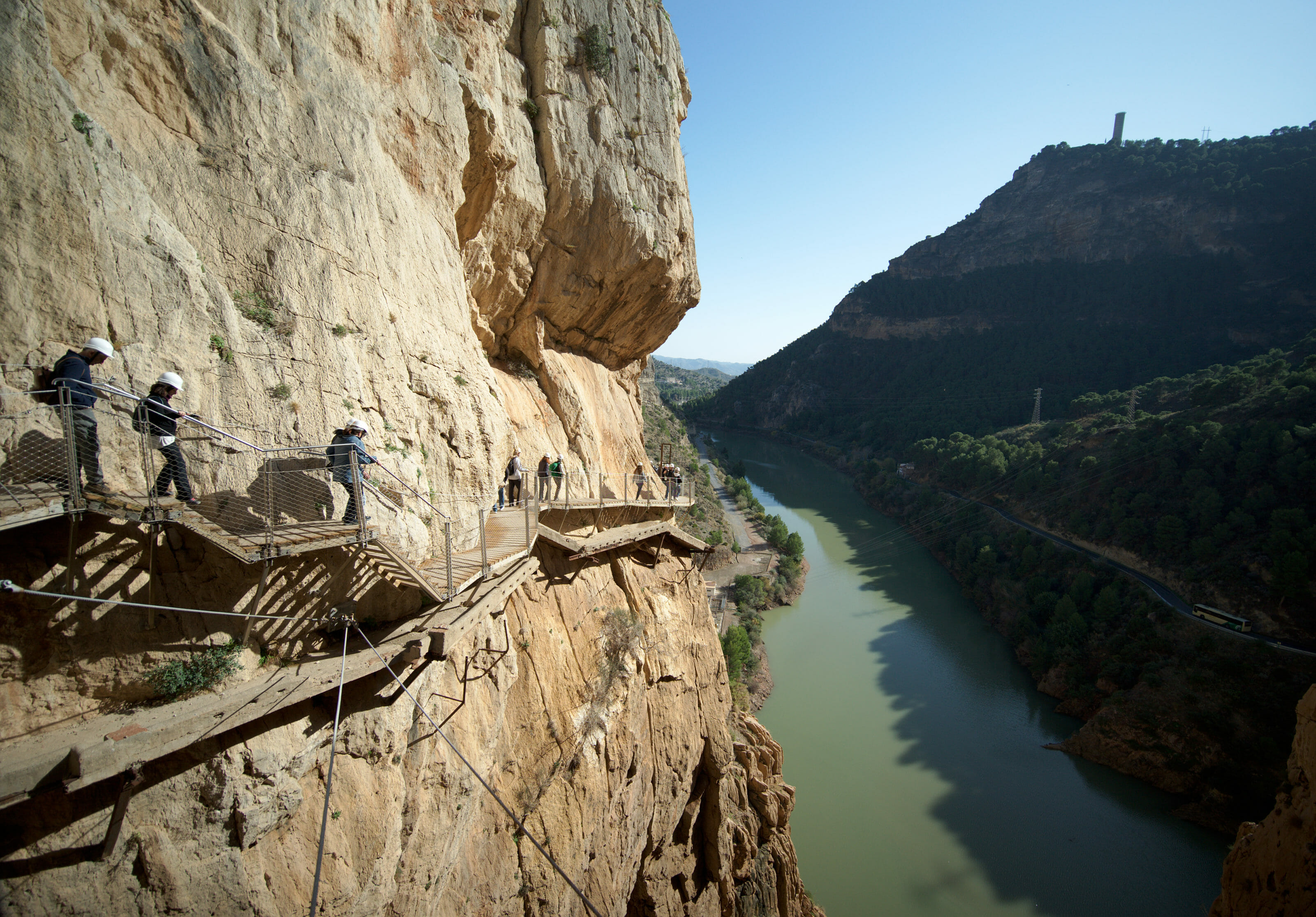
But be careful, on the first kilometer or so there is no safety barrier on the left side. Personally I did not find this disturbing as it does not go down "steeply" on the empty side and especially as the edge of the canal is wide enough to walk comfortably (afterwards it is better not to be too distracted). After 1km approximately, we arrive at a zone of the channel which was made safe with barriers and small footbridges. Safer certainly, but there is also likely to be a little more crowd from this place onwards.
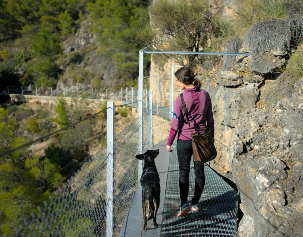
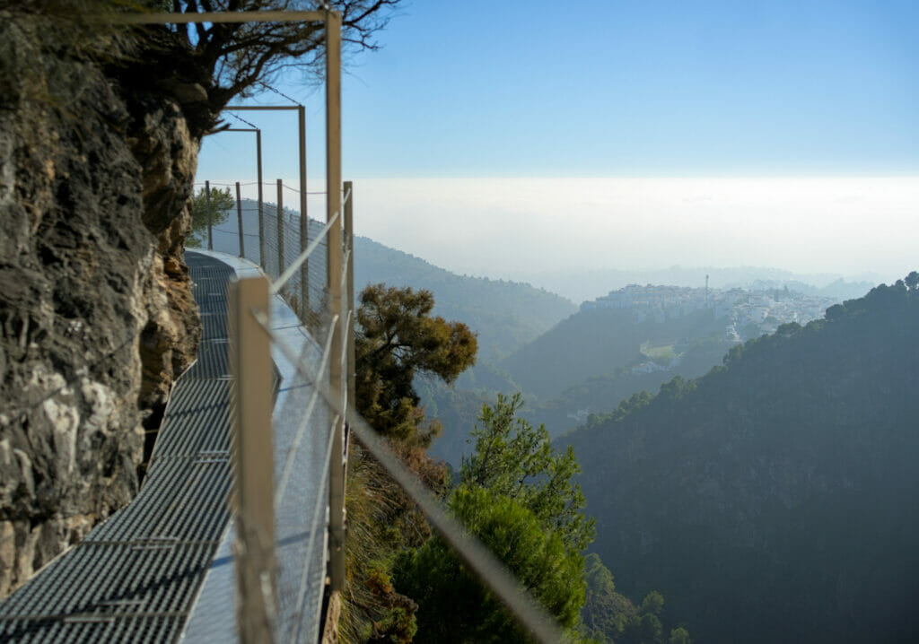
At the end of the footbridges, you arrive at a small retention basin and a parking lot. At this point, we advise you to take the path on the right to go up to the ruins of the old castle and enjoy the best views during the descent to the village on the other side!
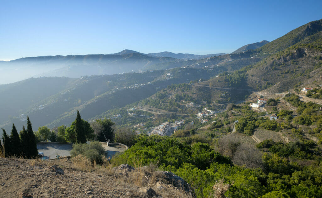
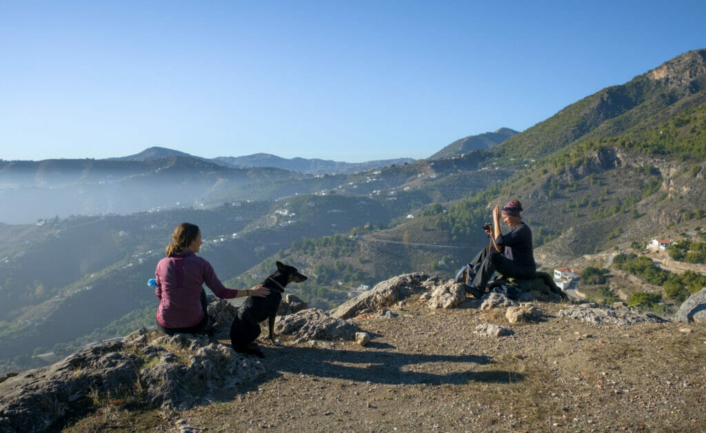
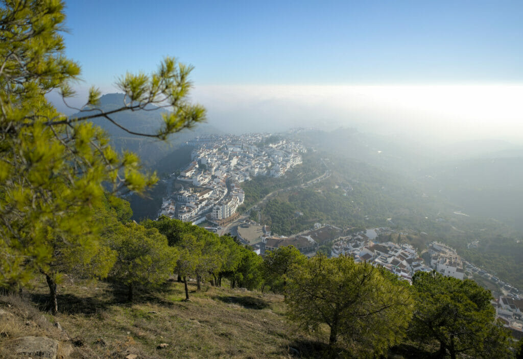
Map of our hike in Frigiliana
Here is the map of the hike. As mentioned earlier, this hike is not difficult per se, however the part along the canal without a barrier can be impressive. Those of you who have been reading for a while know that I am not the most comfortable with heights. For me it was not a problem because it was wide enough, nevertheless I would not necessarily recommend this itinerary to parents of young children or to people very prone to vertigo. We let you judge on the basis of the photos if it seems to be made for you 😉
For your information, the walk is about 9 km long with about 500m of difference in altitude. Taking (really) our time with lots of photo breaks, it took us about 3h30.
Visiting Frigiliana: some tips
Parking in Frigiliana
If, like us, you come to Frigiliana by car (and even more so by van), we strongly advise you to park at the entrance of the village. Coming from Nerja, don't follow the sign for the town center, but go to the Carraterra Circumvalacion. It is possible to park (free of charge) along this road. If you want to park safely, there is an underground parking lot on the way to the Plaza de las tres Culturas. Be careful though, the height is limited to 2m, so it's not suitable for vans with pop-up roofs (our van is 2m04) 😉 But anyway, avoid going directly into the center… the streets are narrow and believe me, unless you live there your nerves are not ready.
If you are in Málaga or the surrounding area, we recommend renting a car to discover the white villages and for example visit the caves of Nerja or go to the Caminito del Rey. In Málaga, rental rates start at 10€ per day on Rentalcars (depending on the season) and it is, in our opinion, the best way to explore the area at your own pace.
Where to eat in Frigiliana?
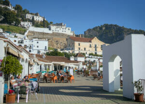
Otherwise, if you want to have a drink or to eat something you will see that they are plenty of options! We stayed only one day and therefore did not test multiple addresses… But for our part we chose the restaurant Sal y Pimiento which is at the end of the square. With Polish managers their menu is a very nice mix of Spanish tapas and Polish specialties! We found the prices very correct and the dishes as well as the service were tops.
Bonus hike in the acantilados de maro natural site
To finish this article, we thought we would also add a little walk that we did in the same natural park (Sierra de Tejeda, Almijara and Alhama), but this time more along the coast. Our initial motivation for this walk was simply to stretch the dog's legs a bit before going back to our friend, but in the end we liked the walk so much that we thought we would add it here 😉
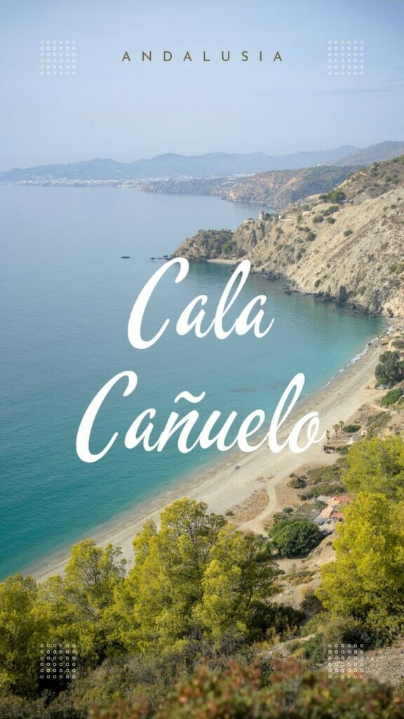
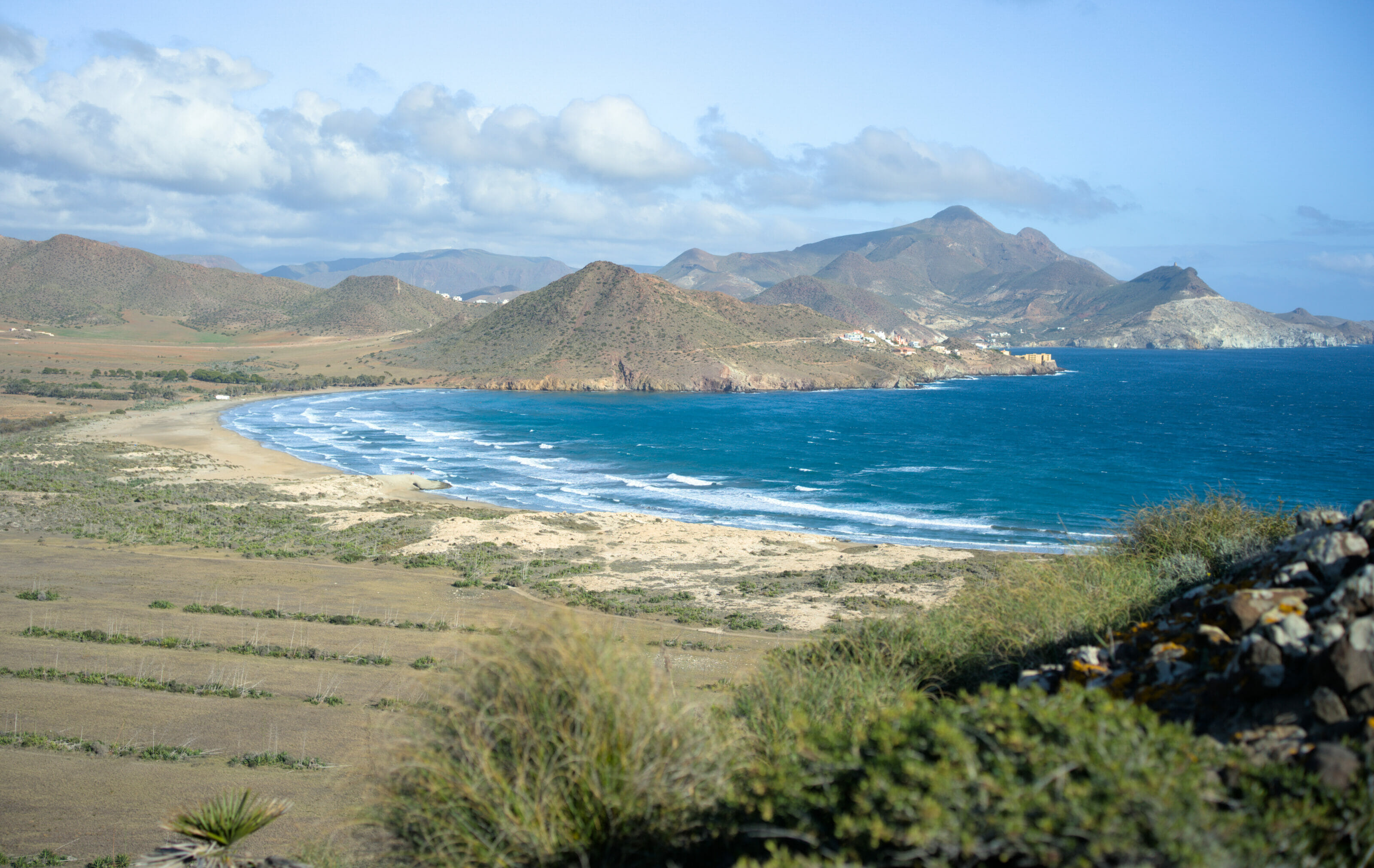
Playa del Cañuelo
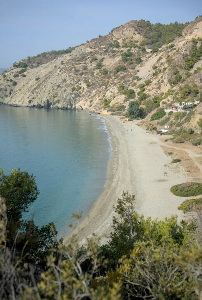
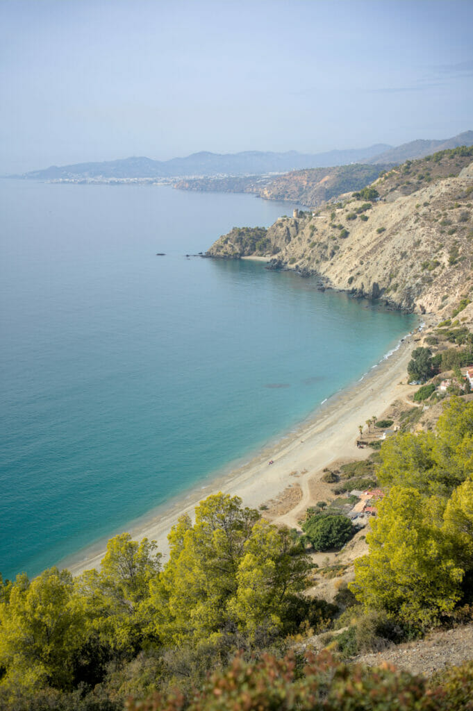
To start this walk we parked just near the traffic circle on the N340 at the Ermita San Judas Tadeo. From this place, you should not trust the GPS track below, but simply follow the markings in place in the direction of the beach of Cañuelo (we suspect that some local people got fed up with the path passing by their house and the way seems to have been diverted). But don't worry, it is really well indicated and after half an hour we reach the magnificent beach.
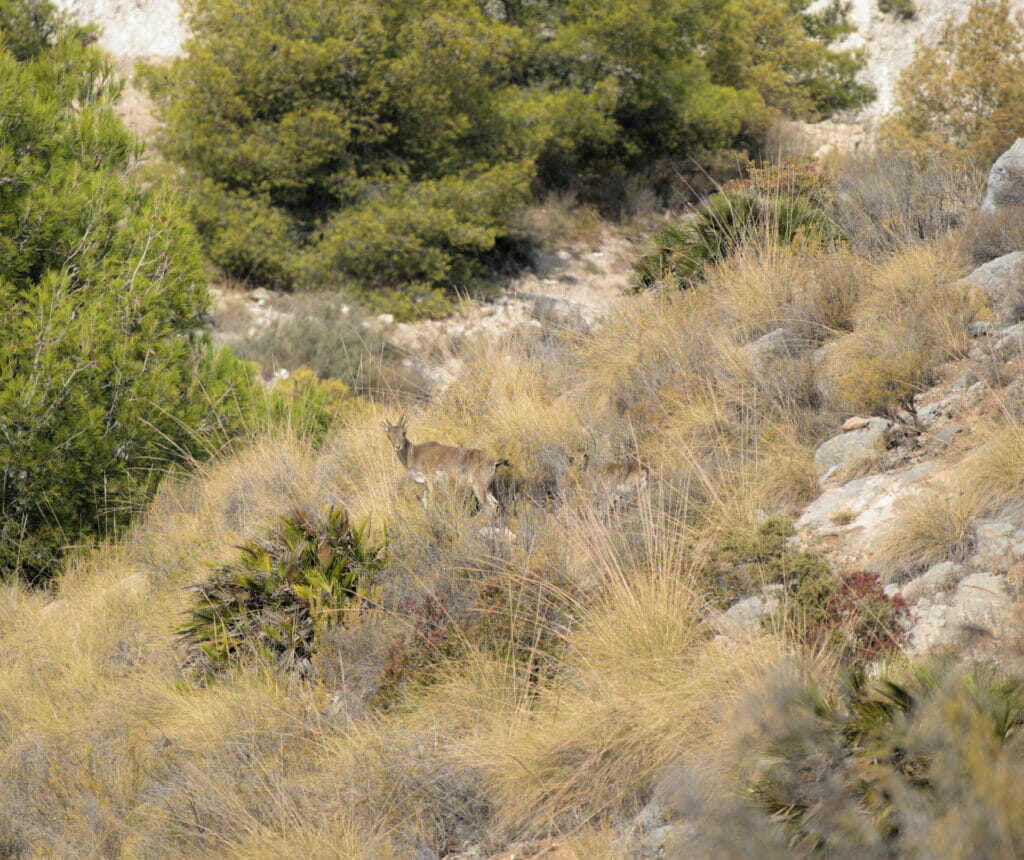
Oh, and remember to keep your eyes open on the way down! We werw lucky enough to see a small group of ibex (female ibex) with their babies.
We came here in December and we just took advantage of the sand to make the dog run but no doubt that in summer this place must be nice. There seemed to be some beach bars (closed at the time of our passage).
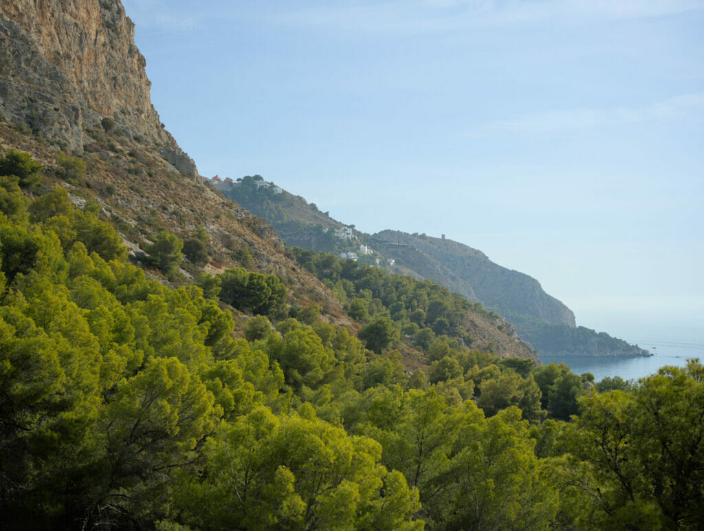
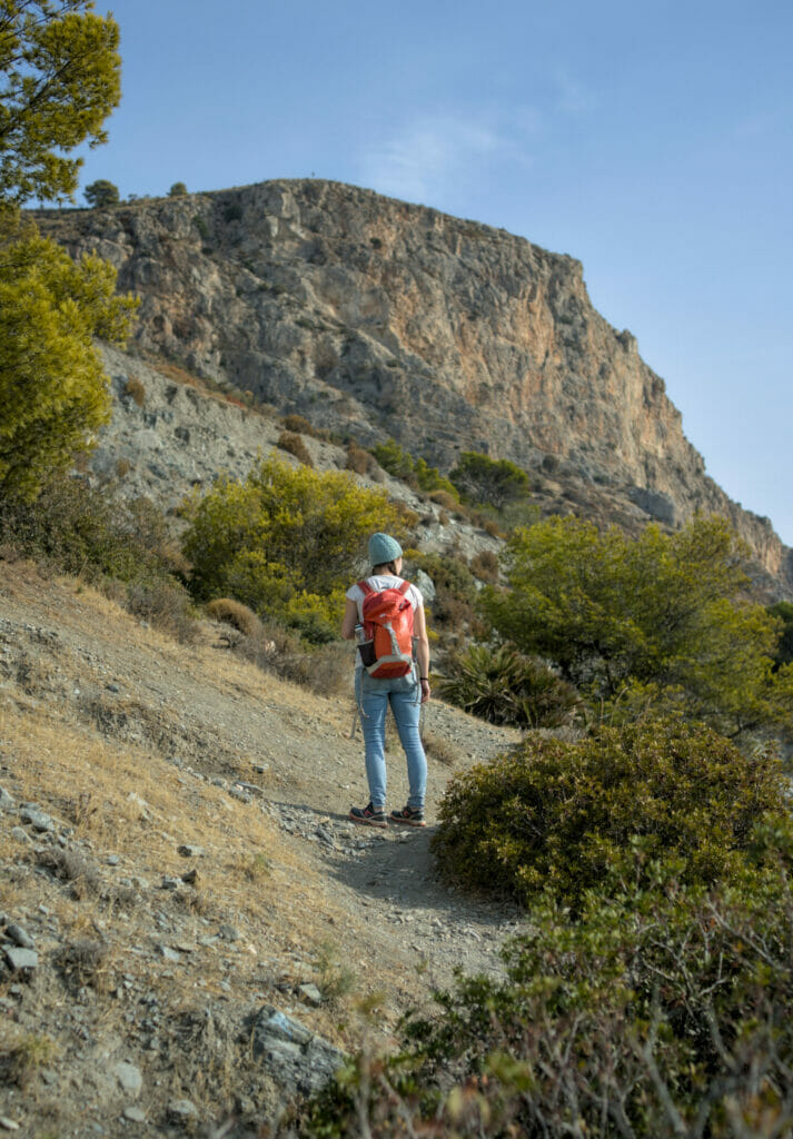
By arriving on the beach, we then went towards the rocks on the left. A rather discrete (and quite steep) path leaves on the left through the vegetation. The rise is rather steep, but brief 😉 Once at the top, we arrive at a great point of view on the beach of Cañuelo and the path continues then in direction of the Torre Caleta.
Torre Caleta and the beach of Las Doncellas
The path is well marked all along and after a while we arrive near an old ruin. At this point, it is possible to go down to the beach of Las Doncellas. We didn't do it, but from what we read online, this beach is an excellent alternative if the Cañuelo beach is too crowded for your taste (the path to go down there is not very easy).
But don't worry, if you don't go down to the beach, the path remains easy and we arrive rather quickly to the crossroads where we have the choice to go back to the parking or to make the small detour by the Torre Caleta (in round trip). To go back to the parking the path is well marked and we have some magnificent viewpoints (especially just next to a ruin about halfway up).
Map of our hike in Playa del Cañuelo
Below, here is the map of the small route we followed. It took us about 1h30 (with some breaks on the way). For your information, the only steep part is the one that leaves the beach. We advise you to make the hike in the same direction as us in order to hike up this part which a little bit delicate rather than going it down.
Well, this time I think we've told you everything about this pretty little paradise in southern Andalusia! Find below the list of our articles in the region for more ideas of things to do and discover around Malaga.
See you soon for the continuation of our Spanish adventures 😉
Note: This article contains affiliate links to Rentalcars and Civitatis. If you book a vehicle or an activity via one of our links you will of course not pay anything extra but we will get a small commission. These sites are the ones we also systematically use when we book (and pay of course) 😉
Pin it


Join the discussion