For our first steps in Andalusia, we decided to come and explore a bit the natural park Cabo de Gata. This cape located in the extreme south east of Andalusia is part of the province of Almeria. This province is mostly known as the “garden of Europe” with its massive production of fruits and vegetables… But we will come back to this less charming aspect at the end of the article. For now, we will focus on this little natural nugget that is Cabo de Gata.
- Cabo de Gata: Presentation of the natural park
- Map of things to see and do in Cabo de Gata
- Walk to the Macenas castle and the Pirulico tower
- The viewpoint of the Granatilla
- The village of Agua Amarga
- Hike from Las Negras to Cala de San Pedro
- El Playazo de Rodalquilar
- La Isleta del Moro et le mirador de la Amatista
- Hike to Monsul beach – the must-see in Cabo de Gata
- Walk to the lighthouse of Cabo de Gata and to Punta Baja
- The salt flats of Cabo de Gata
- Cabo de Gata: Useful info
- Important Info: the surroundings of Almeria and its sea of plastic
Cabo de Gata: Presentation of the natural park
Founded in 1987, the Cabo de Gata Natural Park is a protected area of almost 29,000 hectares. It is the incredible rock formations, volcanic lands and the presence of unique animal and plant species that made it the first area to be classified as a natural park in Spain. It is estimated that the Sierra de Cabo was formed as a result of volcanic activity 15 or 16 million years ago (we’re not a million years away ;)).
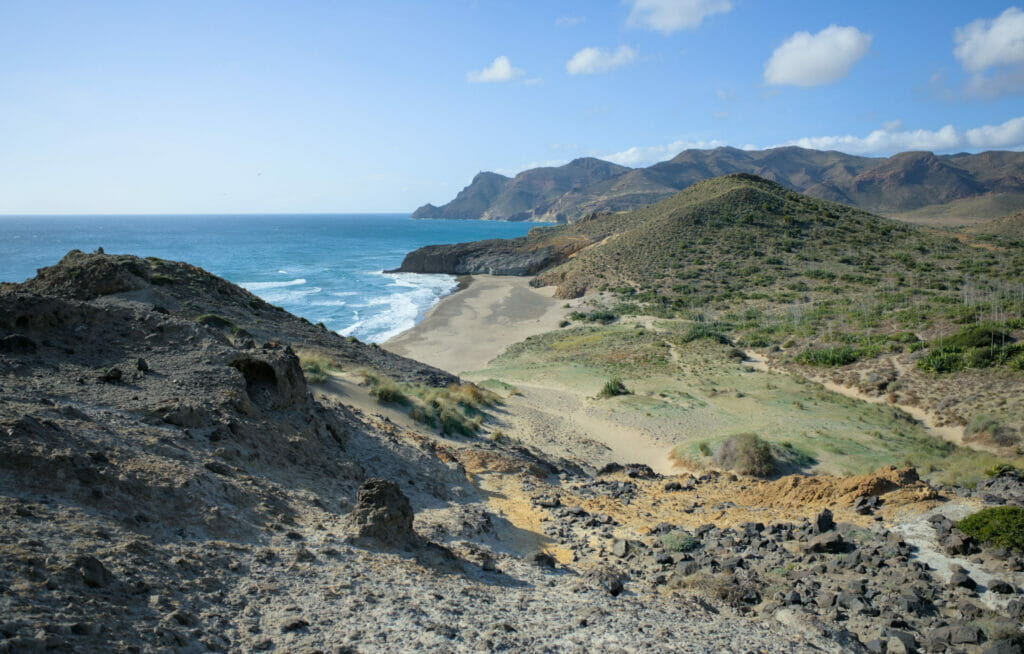
Since 1997, this park has also been declared a Biosphere Reserve by UNESCO. The good news? Construction and tourist development are strongly regulated and guarantee the maximum preservation of the area. There are a few small villages and roads within the park, but a lot of the area is still untouched by humans (and tomato greenhouses)… and this is clearly very good news!
Map of things to see and do in Cabo de Gata
Here is a small map of Cabo de Gata to help you find your way. You will notice that for the order of the article we decided to mention the different places visited from north to south.
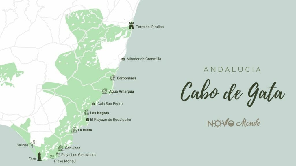
The park itself (protected natural area) is the green area on the map.
Walk to the Macenas castle and the Pirulico tower
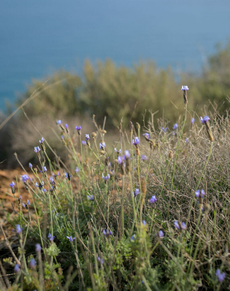
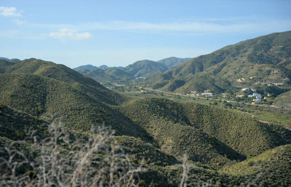
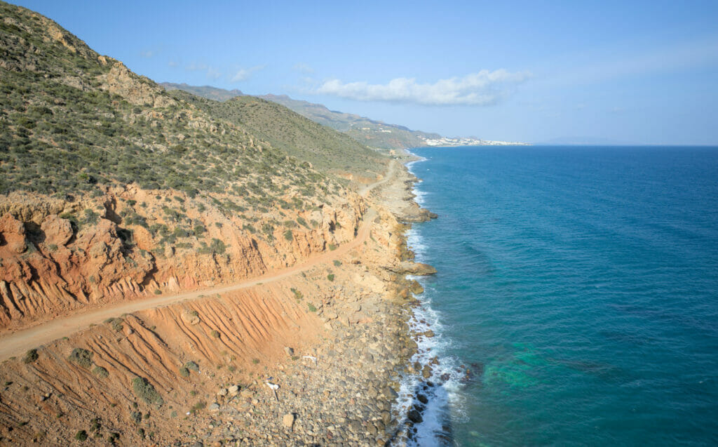
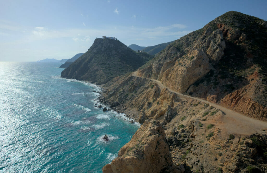
The enclosure of the park of Cabo de Gata goes up partially in direction of Mojacar and it is precisely here that we made a very pretty walk along the coast. From the castle of Macenas (located on the beach of the same name) we went up in direction of two viewpoints following a wide track. The path is really easy to follow and the difference in level climbs very gradually. Arrived at the second viewpoint, we started a dive towards the coast (quite steep in some places) to join a second track.
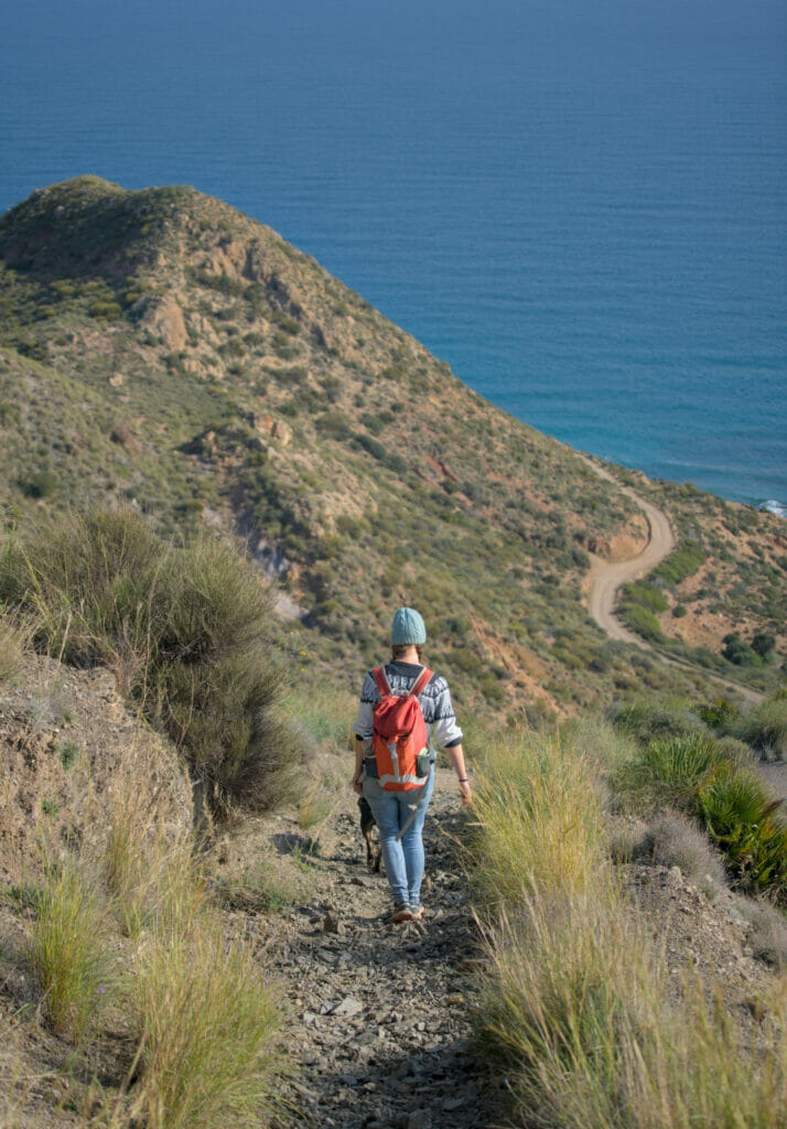
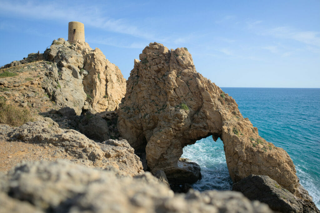
On the way back we stopped at the Pirulico tower. Built between the 12th and 14th centuries, it was used to defend the Spanish coast until the 16th century. Left abandoned for many years, it was restored in 2009 and is now open to the public (it is possible to climb on the roof). More than the tower itself, its charm lies in its position on the cliff and the rocky arch next to it. From the tower, there is something like 1.5 km along a wide track (flat this time) to return to the starting point.
In all the walk is 5 km long, with 180m of difference in altitude (positive and negative). Count 1h30-2h to make the loop quietly while enjoying the viewpoints.
Map of our hike from Macenas to Pirulco Tower:
The viewpoint of the Granatilla
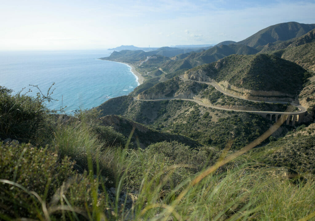
Here, it is a simple recommendation of photo stop! If you take the road from Mojacar to Carboneras, you will automatically pass by this mountain road. At the top, it is possible to park and to go to admire the view in direction of the south. Technically speaking, this place is not in the natural park (we are in a kind of enclave out of the park), but well, we made a small exception because the view is clearly worth it. Judge for yourself:
The village of Agua Amarga
Going down, you will inevitably pass by the small town of Carboneras. If it is one of the biggest in the region (and therefore convenient for shopping), we confess that we did not find it particularly charming. If you want to stroll through a small white village typical of Andalusia and drink a coffee on a terrace, we would rather recommend a stop in Agua Amarga.
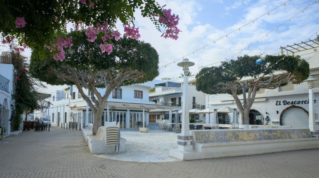
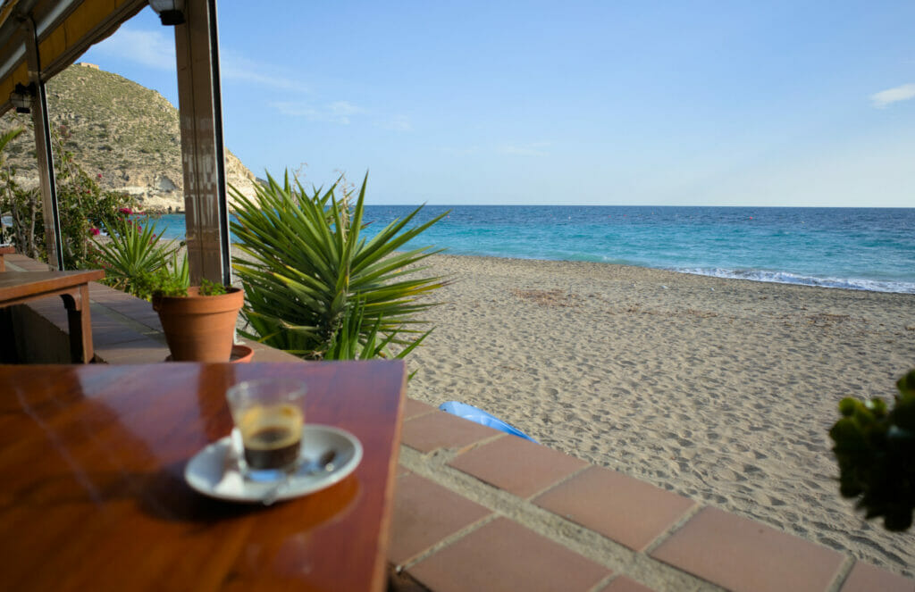
For our short visit, we parked on the parking lot which is located towards the Calle de la Rambla, 2 steps from the beach. For the tour itself we have nothing special to recommend except to walk along the beach for a while and then go back up to the center to walk between the white houses. The center is really tiny and you will probably have done the tour in about fifteen minutes, but it is a small stop that is worth it! A special mention for the terraces by the sea which offer a great view to have a drink or something to eat (we just had the coffee, so we can’t judge the quality of the food but what was coming on the other tables seemed pretty good 😉
Hike from Las Negras to Cala de San Pedro
If there is a place in Cabo de Gata that we advise you not to miss, it is the Cala San Pedro! This small cove with turquoise waters is a real little haven of peace where you feel cut off from the world. In fact, to reach it there are only 2 options: walk 5 km from Las Negras or take a boat (in summer only).
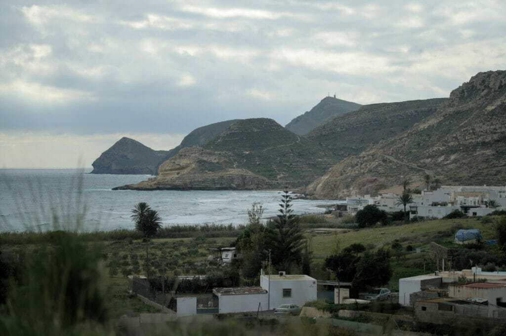
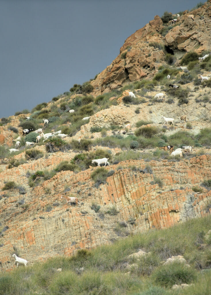
We had read online that a hippie community had settled there and that in summer young people came to camp there… We admit it, we didn’t know what to expect. Well, the least we can say is that we were simply overwhelmed by the magic of the place! The hike to get there is really not very complicated… At the beginning we follow a wide dirt track which goes along the coast (which is apparently also the playground of many goats) and after 3 km, this track becomes a small path. Very well maintained and visibly quite used, there is no need to worry about orientation for this walk.
On the way there, we were surprised to see several people coming back to “the city” carrying large backpacks and garbage bags. We realized later that they must be inhabitants of the creek who were bringing back their trash. Because yes, the place is indeed inhabited all year round, but it is totally cut off from the rest of the world! We guess that in summer some logistic operations must be done by boat, but it seems that in winter the inhabitants use the paths to bring back their waste and go shopping.
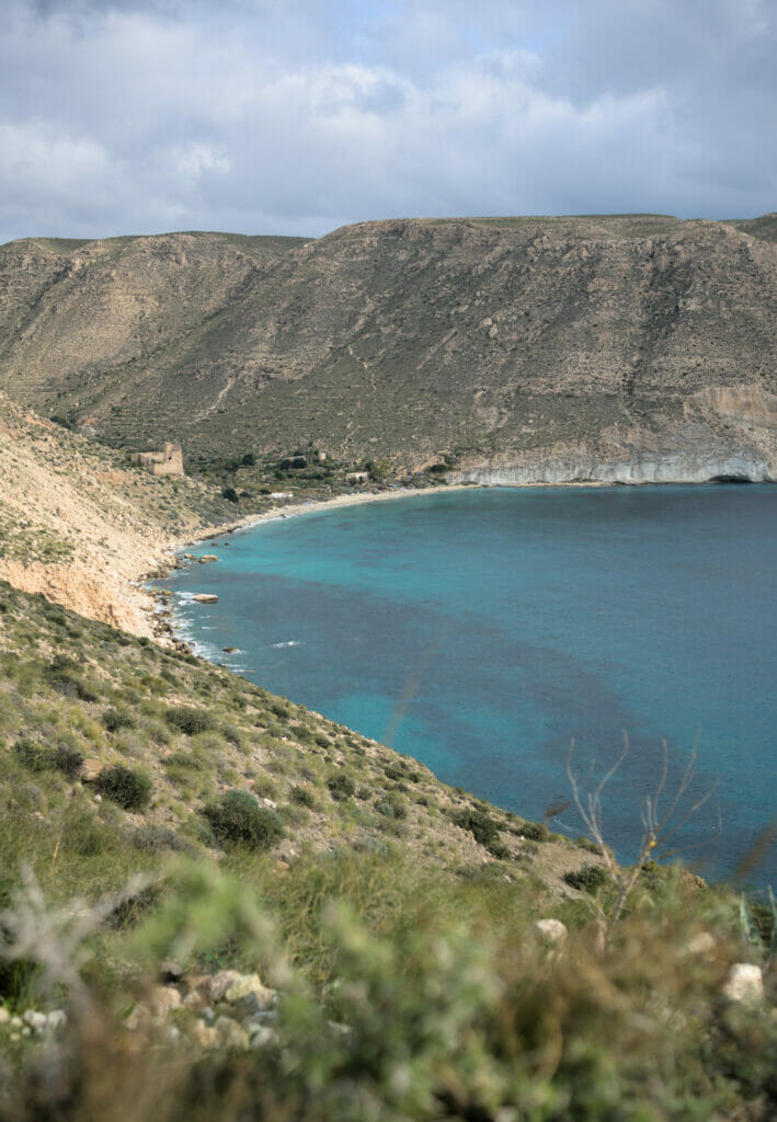
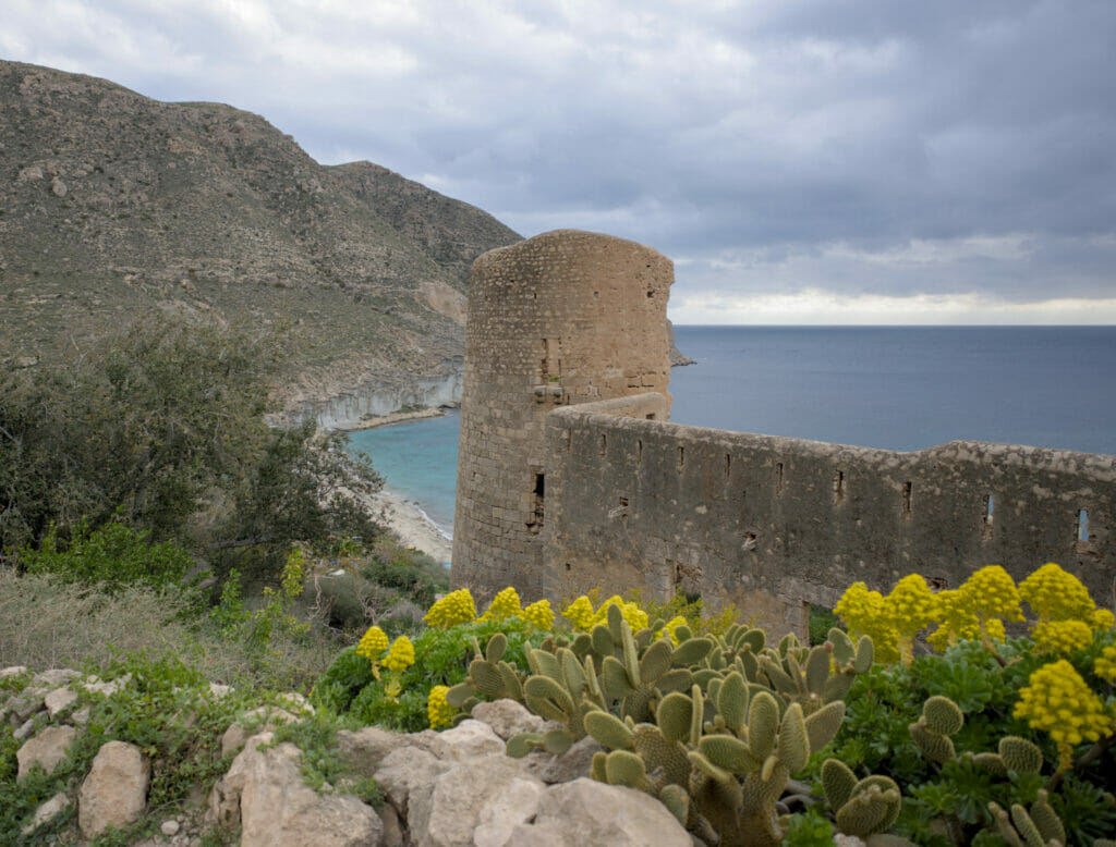
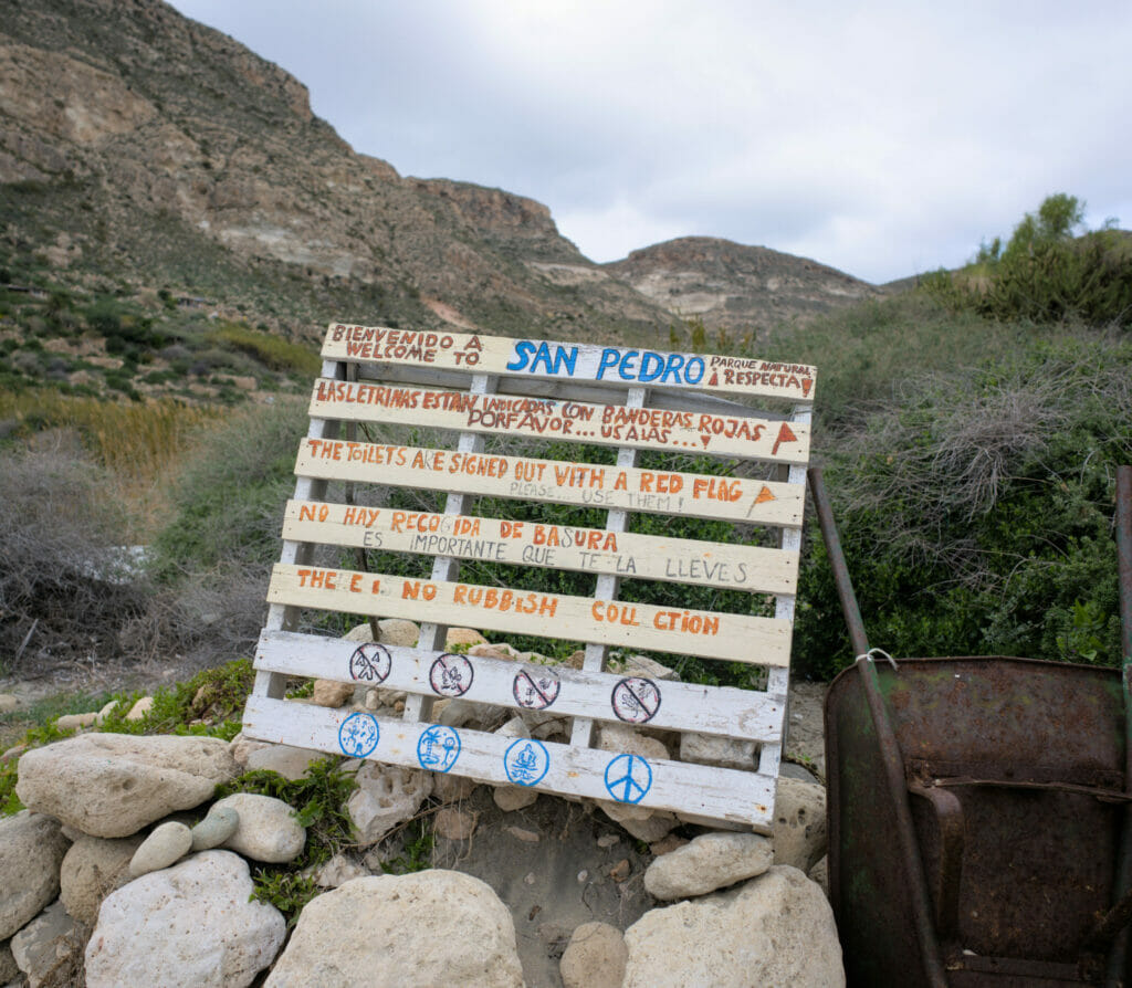
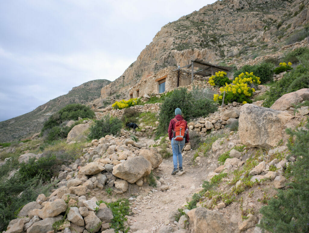
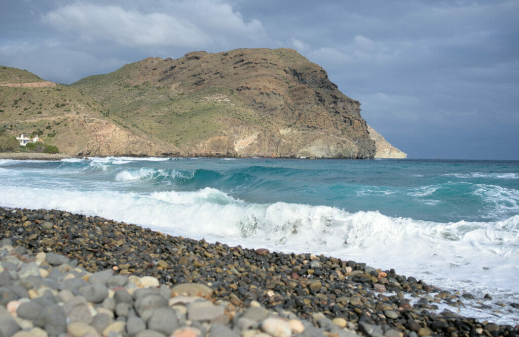
Arrived at the creek, we quickly notice the numerous small houses built in side of mountain. Some people seem to have settled in old ruins, while other people have made houses themselves by using materials they found there. But I believe that what marked us the most here is the absolute cleanliness of the place!
Yes, people live here, far away from everything and probably not in a very official way, but believe us, they have created a real little paradise and actively militate to keep the place preserved. Everywhere, small signs invite the visitors to discover the whole but also remind them of the importance to take back their waste, to use the toilets installed and to simply respect nature.
As we were leaving, we had the chance to see the sun shining through the clouds and the color of the water was even more impressive! No doubt that in summer it must be nice to swim there!
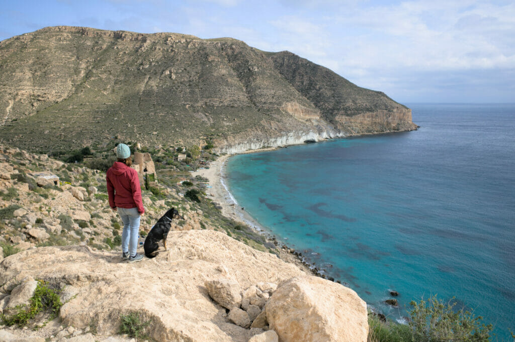
For the return trip, we followed exactly the same route as on the way out. If you walk at a good pace, it takes about 1h-1h15 to go from Las Negras to San Pedro (same in the other direction). We, for our part, rather took 4h30 for the return trip, but we had clearly decided to take our time (many photo breaks, picnic breaks, etc.)
Map of our walk to Cala San Pedro:
El Playazo de Rodalquilar
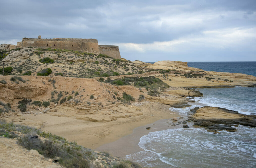
This small beach of fine sand is apparently very appreciated during the summer for swimming… Having come here in December, it seems useless to specify that we cannot tell you much about the quality of the dip 😉 But on the other hand, what we can recommend you if you come here, it is simply not to stay only on the beach. A hundred meters further to the left, there are the ruins of the old castle of San Ramon.
This fortification dates from the 18th century and has been abandoned for many years. It is not possible to enter the castle’s walls, but it is still worth the trip to admire the yellow rocks on which it is built. It is absolutely crazy to see the variety of different rocks in the park of Cabo de Gata! Here it is apparently a fossilized dune, which explains the color…
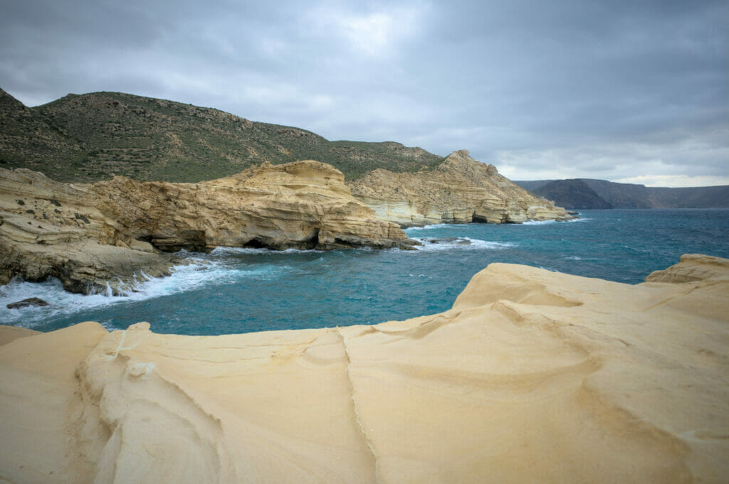
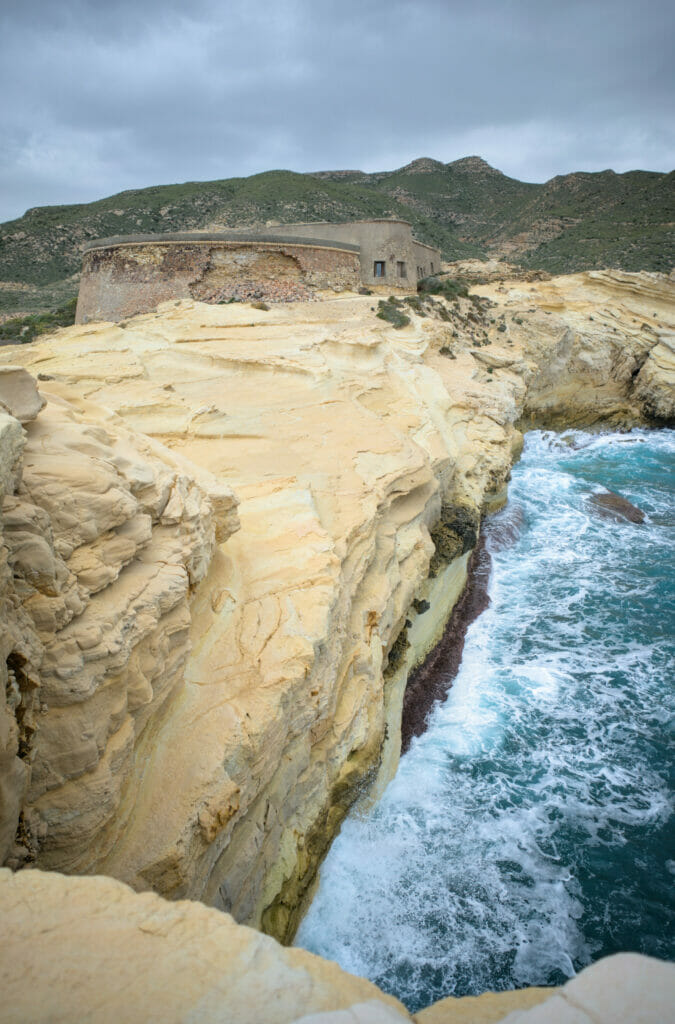
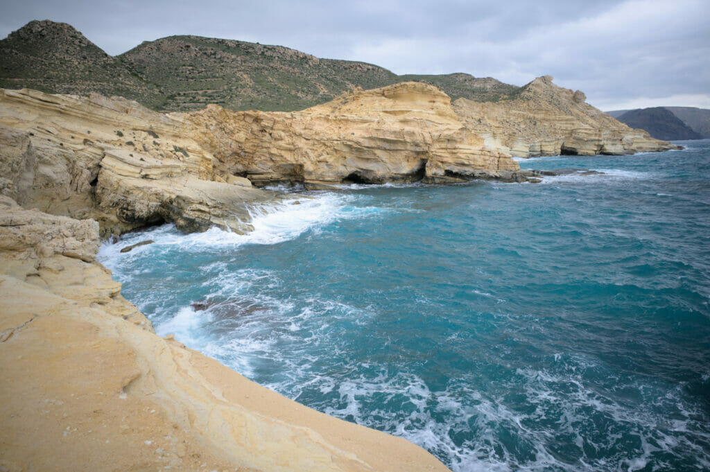
Access: There is a parking lot near the beach, but it is also possible to get to the castle (and the beach) by walking from Las Negras along the beautiful coastal path (about 45 minutes walk).
La Isleta del Moro et le mirador de la Amatista
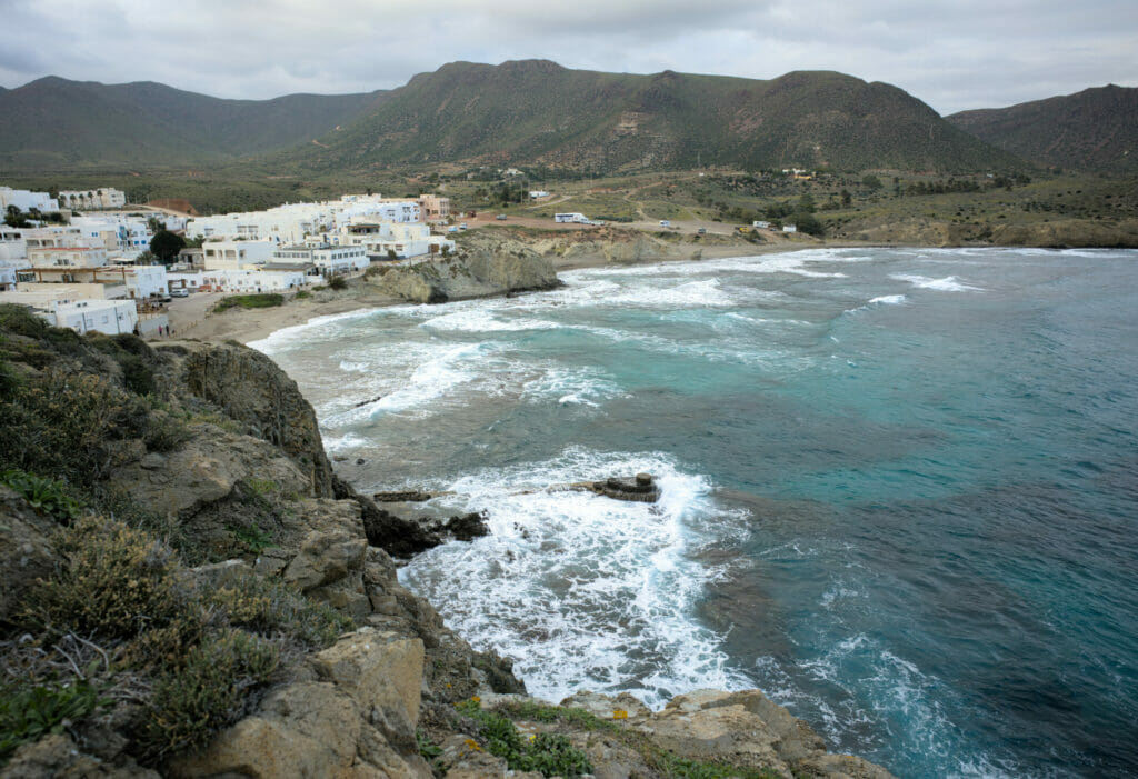
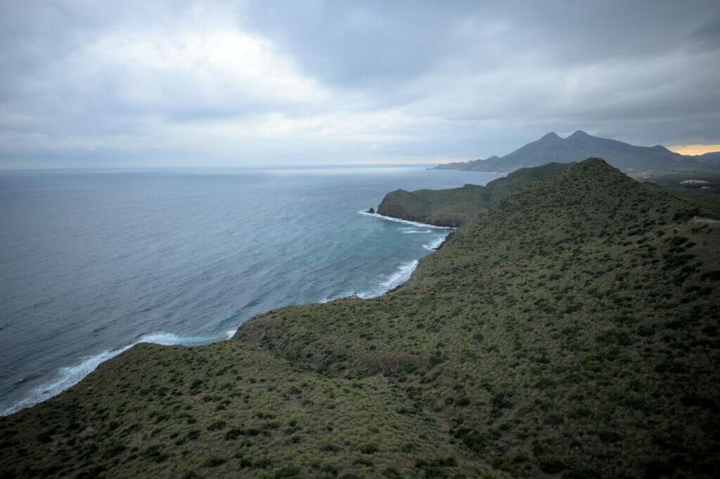
In the register of the nice small villages where it is pleasant to stopfor a coffee on a terrace, we also advise you to go take a look at Isleta del Moro. Originally it was a small fishing village and although we don’t doubt that there are still a few boats that go out to sea from here every day, the place has also developed around tourism. There are some nice cafes and terraces offering a beautiful view of the bay and the small islet at the end of the pier.
Hike to Monsul beach – the must-see in Cabo de Gata
Monsul beach is probably the most famous beach in the Almeria region. Why is it so? Well, on the one hand because it is simply beautiful, but also because it was the location of a cult scene in the cinema! Can you guess? It is the place where a scene from Indiana Jones “The Last Crusade” was shot in 1989. The region of Almeria is also known to be often chosen for the settings of “western” movies. The landscapes of the Tabernas desert are quite similar to those of the great American expanses or even North African deserts…
Anyway, back to the point! We didn’t come here to walk in the footsteps of Harrison Ford but to go for a hike. For the itinerary we chose to park at the beach of los Genoveses and to make a loop in the direction of playa Monsul (you will find the map of our walk below).
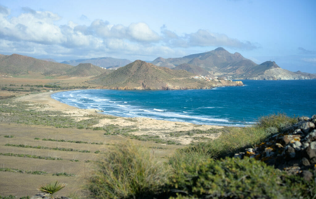
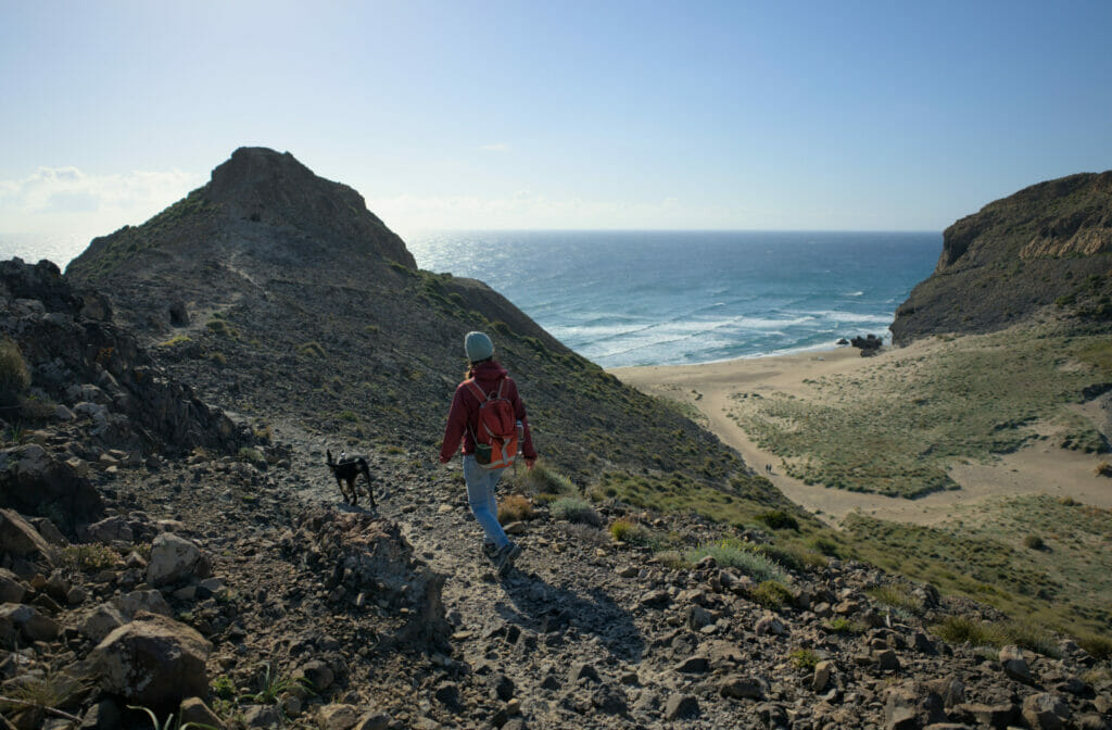
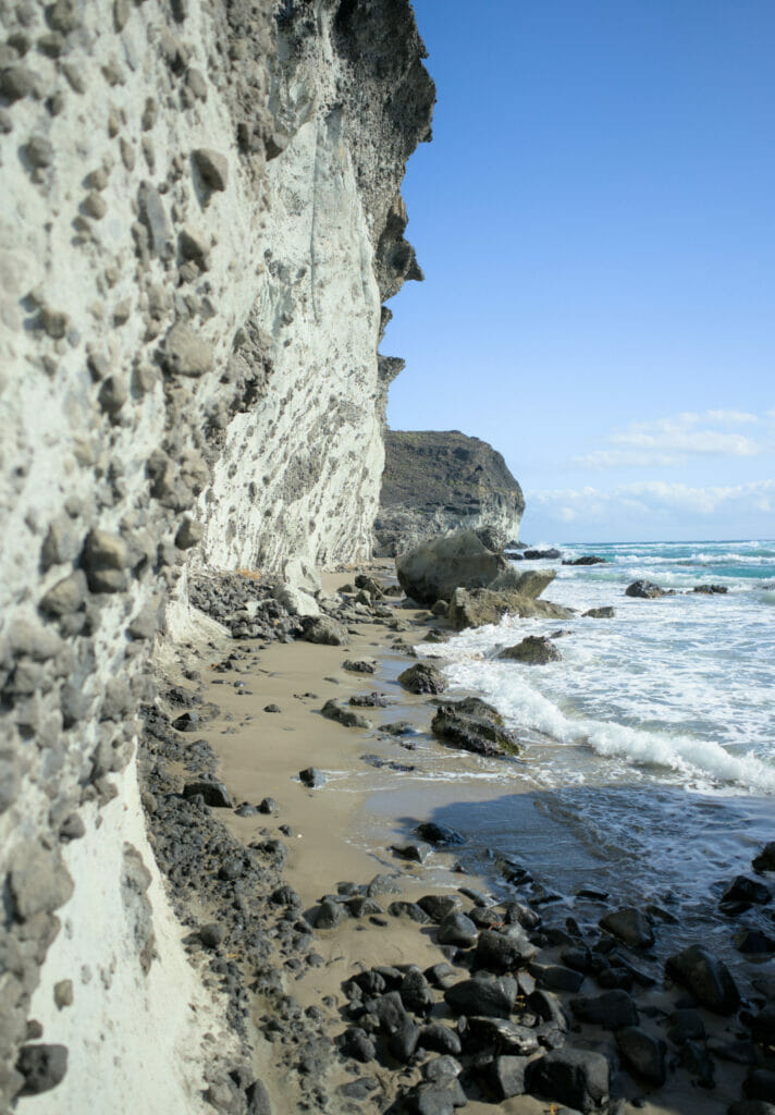
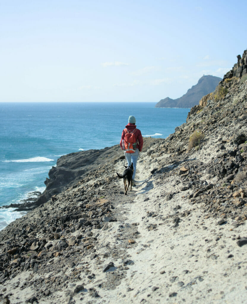
Starting from the beach of los Genoveses we started by climbing the first hill towards Cala Chica. There are dozens of paths that go through the dunes and we advise you to simply aim for “the pass” by having the GPS track on your phone. Once on the playa Chica you are in what you could call a dead end. The path stops dead and the cliff rises steeply. In good weather (more info on this below) it is however possible to reach Playa Grande by walking at the foot of the cliffs.
Some pictures of this “tricky” passage (depending on the conditions)
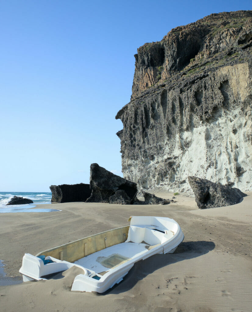
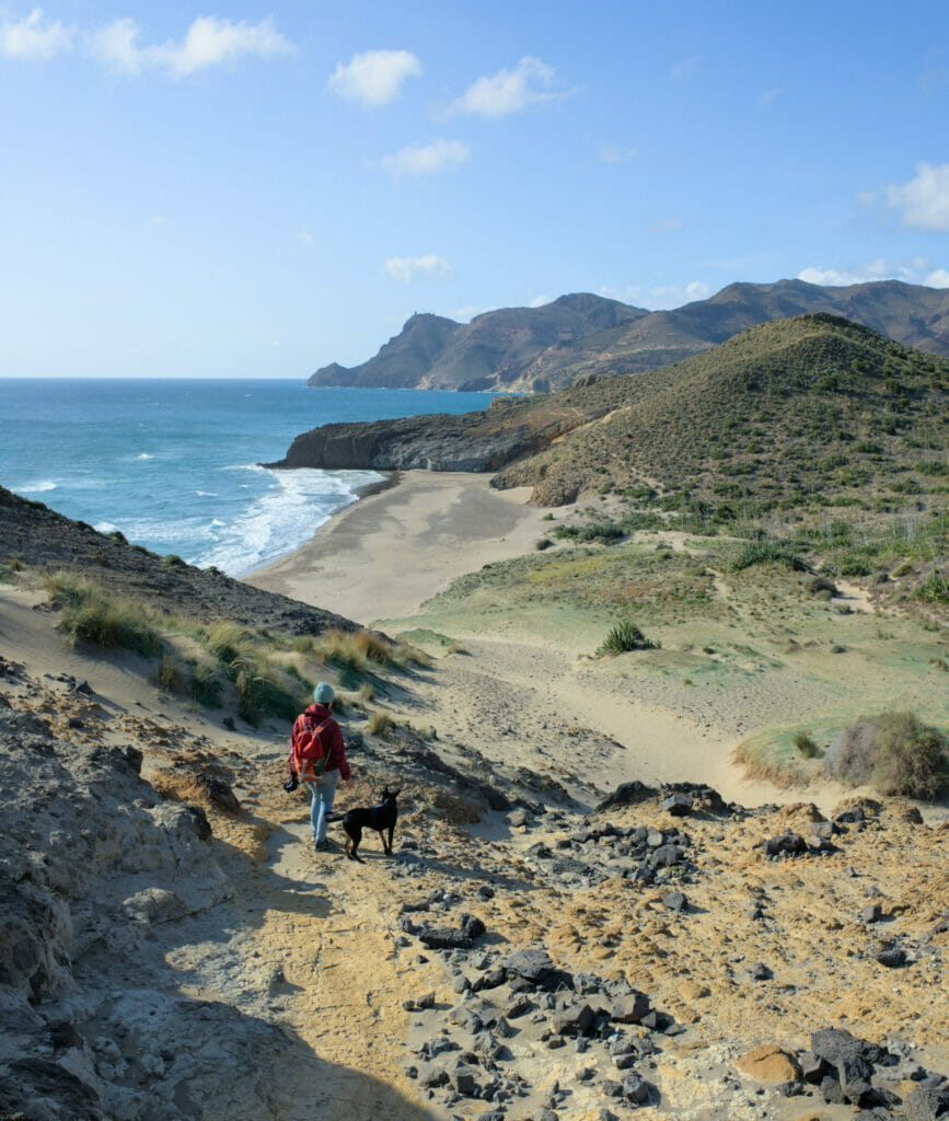
From Playa Grande you have to go up (quite steeply) to reach the beach of Barronal and then the beach of Monsul. The path is well marked, but the terrain which alternates between rocks and sand makes the walk a bit more tiring than it seems 😉 But believe us, it’s well worth the effort! All along the route we pass by creeks all more beautiful than the others and the advantage of climbing regularly on hills is that we also enjoy a crazy panorama! Frankly, this hike will have been by far the one during which we took the most pictures… 😉
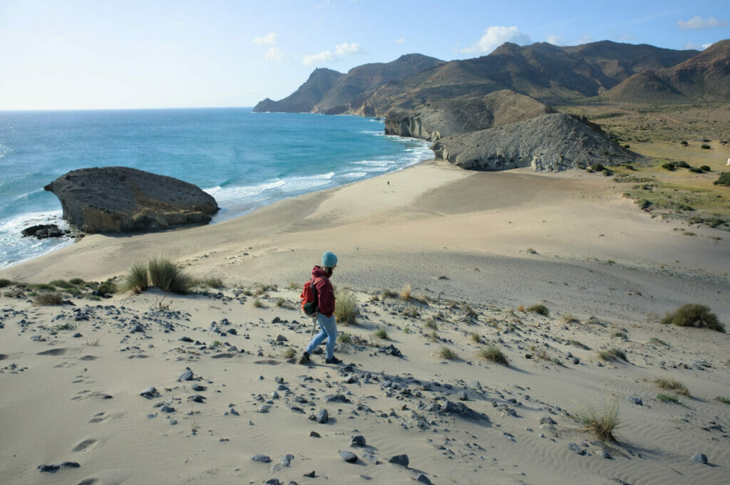
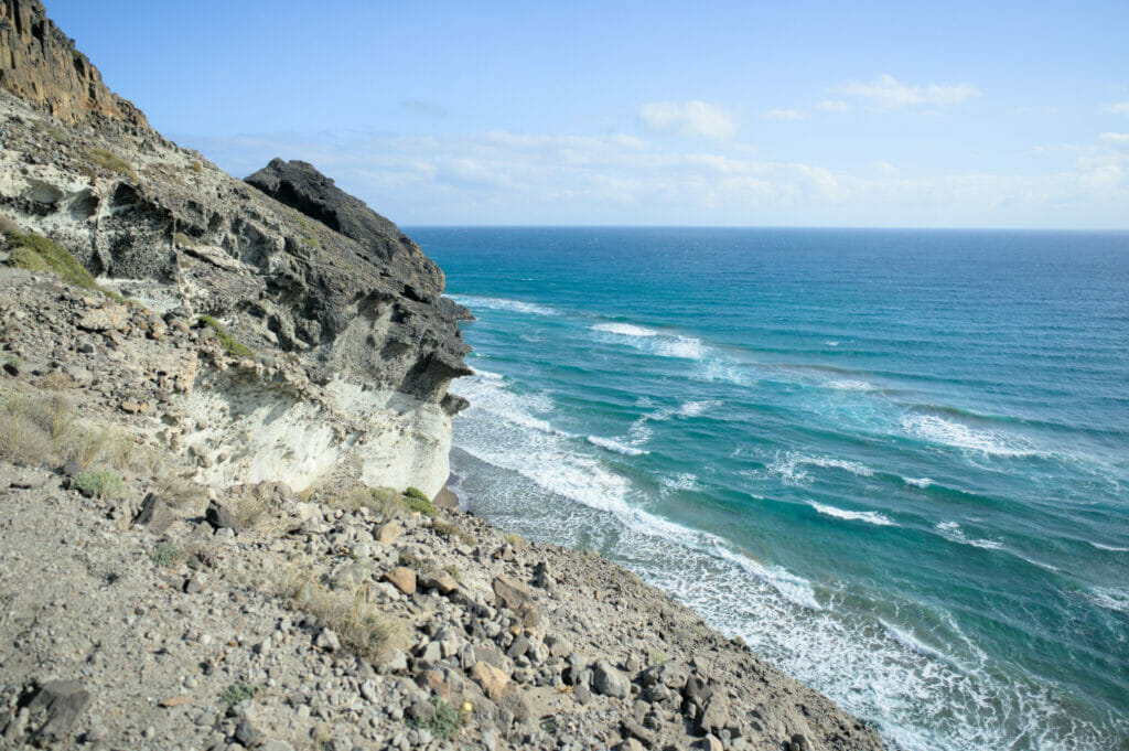
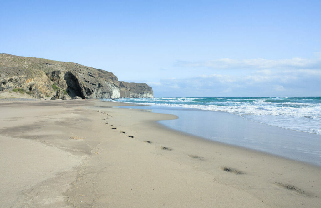
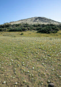
For this hike we decided to make a loop, even if we have to admit that the path passing by the coast is much more scenic than the one coming back by the land 😉 After that, because of the terrain, the coastal path is undeniably longer too!
In short, we advise you to start as we did by the coast, and once at the Monsul playa you can decide if you want to come back by this beautiful path (but a little more tiring) or if you want to go back by the land (no difficulty). The more direct path follows the track accessible to cars and at the end there is a small stretch to walk on the road (little traffic). At the end, turn right through the dunes to reach the parking lot of the Genoveses beach.
For this hike there is a passage (between Cala Chica and Cala Grande, marked on the map) on the side of a cliff which can be tricky in times of strong waves. In the Mediterranean, the tides are not very important but there are still some! We advise you to check the tide times and the amplitude of the waves before your departure. At the time of our passage, the waves were rather important meaning the water touched the rocks and we had to take off our shoes to cross (and we got pretty wet let’s be honest 😉 ). It is better to avoid this passage in case of strong waves. You can check the schedules of tide and amplitude of the waves this website.
Map of our hike from Playa los Genoveses to Playa Monsul:
Walk to the lighthouse of Cabo de Gata and to Punta Baja
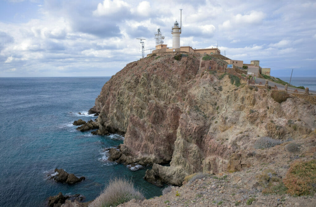
Another classic stop in Cabo de Gata is to go to the lighthouse which is located at the southern end of the park. So yes, the lighthouse is very nice, but if you come here we advise you not to miss the incredible rocks of the punta Baja. To reach the volcanic formations, the easiest way is to come on foot from the lighthouse and to go to the Arena beach. From there, it is easy to access this area which is more like an open air museum!
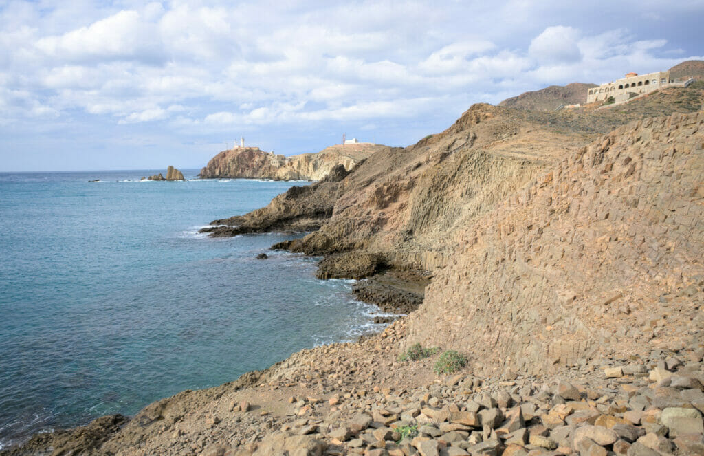
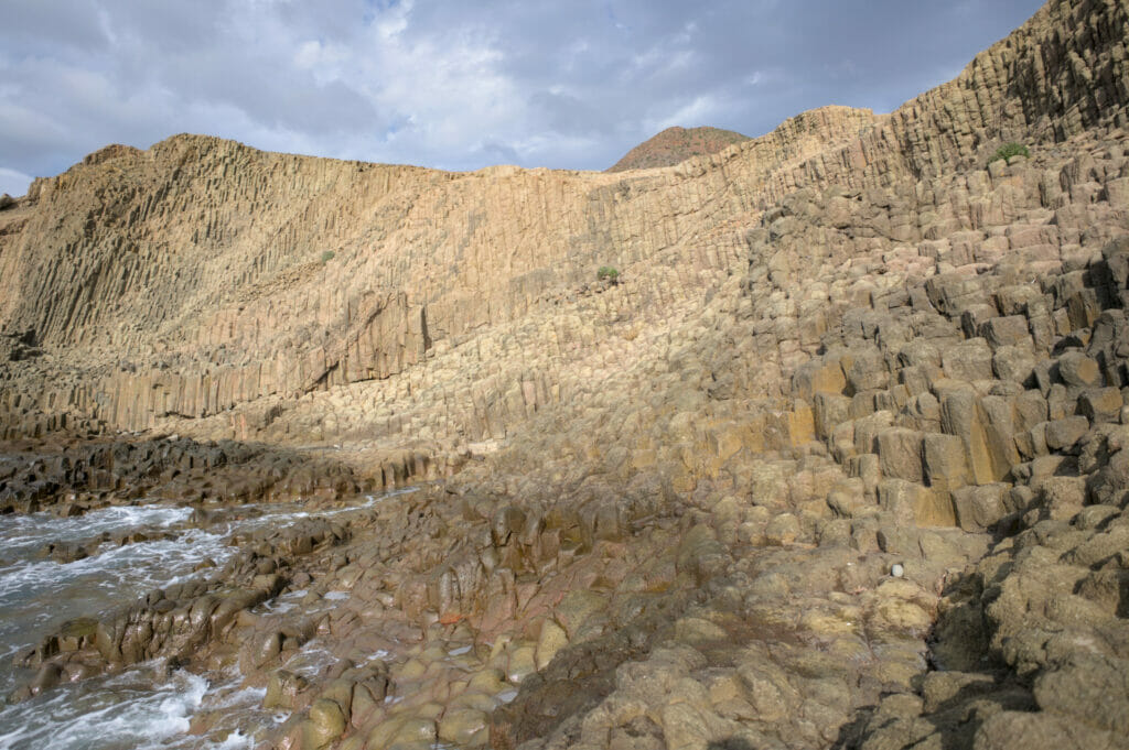
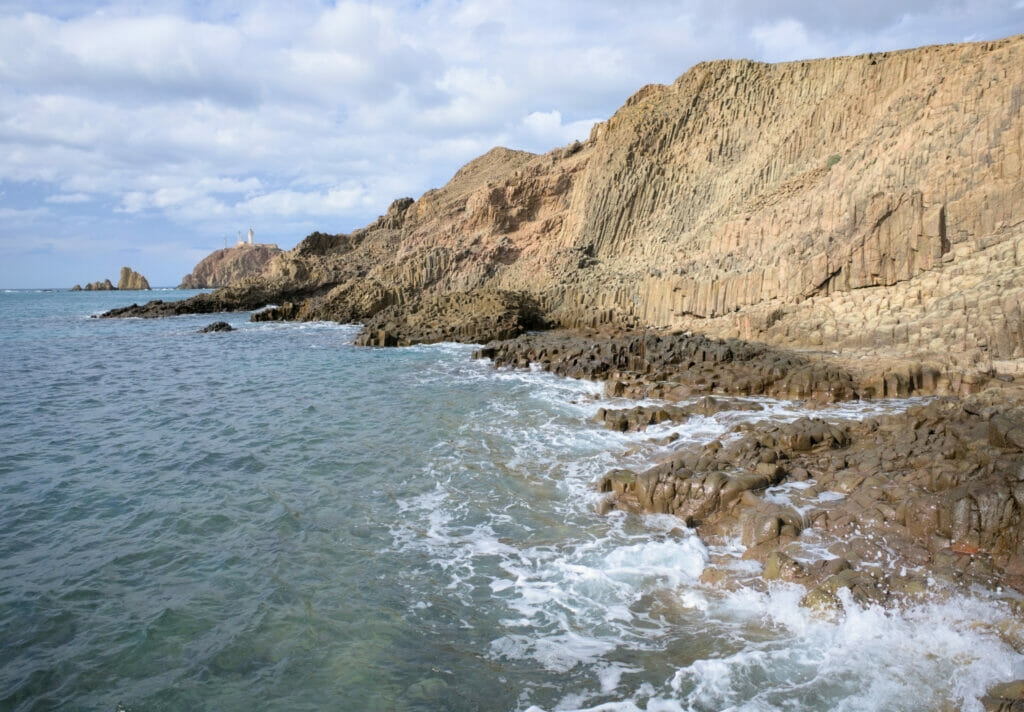
Note: We have put a small map below. Note that the track is approximate. On the spot we simply advise you to follow the paths and once at the punta Baja to walk a little between the rocks. It’s a mini walk that took us 1h30 while taking lots of pictures. If you have the courage, it can also be very nice to continue along the coast to go up to the point of view of the Vela Blanca Pendiente (the Vela Blanca is an immense cliff completely white that you can already see from far during the walk that we described to you)
The salt flats of Cabo de Gata
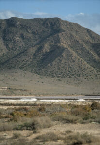
Radical change of scenery: our last stop in the natural park of Cabo de Gata leads us to the salt flats! Located in the west of the park, they were classified as a “Ramsar site” in 1989. This list of classified sites gathers wetlands of international importance (we can also find the bay of the Mont Saint-Michel on this same list). These salt flats are the only ones in Andalusia that are still active (meaning that they are still used for salt production).
But in addition to the “harvest” part, these salt flats are also known to be a zone richly populated with migratory birds. Far from being experts on the subject, we will not be able to quote you dozens of species but for our part we were already very happy to see pink flamingos there. At the beginning, our idea was to go around the salt flats, but unfortunately this is not really possible (or let’s say that this itinerary would imply to follow the main road for a way too large part). There is only a path on the southwestern part (sea side). To observe the birds we recommend you to park near the church of La Almadraba and then follow the trail that passes by the different observatories.
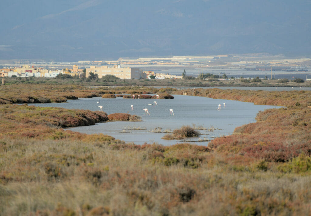
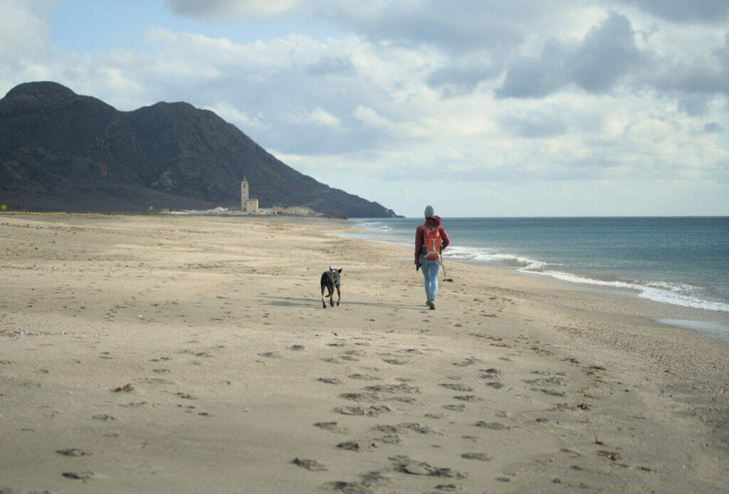
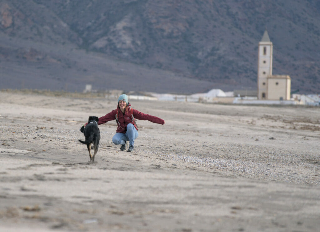
To observe the birds, we advise you to be equipped with a pair of binoculars or a good camera. The observatories have been deliberately placed at a good distance from the water so that the birds have peace (which is a very good thing, let’s face it). For the return trip, it is very nice to walk on the beach of las Salinas. In winter there was obviously not a single person around, but in summer it must be a good place for a little jump in the water 😉
Cabo de Gata: Useful info
Where to stay in Cabo de Gata
There is no lack of accommodation options in the region! Whether it’s hotels, bed and breakfasts, B&Bs, campsites or camper-parks for vans and motorhomes: there is plenty of everything!
For the hotels and lodging, you will find them mainly in the zone around San José, La Negras, Agua Amarga and Carboneras. We cannot recommend you one in particular because during this trip we were with our van. If you want to look for an accommodation you can use the website Booking.com or have a look at the map below (use the zoom to navigate between the different villages and use the filters to refine your search):
The wild camping being forbidden in the park, we opted for a camper-park. We like this alternative because it is often cheaper than camping because the infrastructure is reduced (no animation, swimming pool, shop, etc…) but on the other hand there is everything we need: electricity, WC, hot showers and washing machine 😉 For this stay we chose the Olivares camper park located in Albaricoques. Like all the campers parks, it’s not the most charming place in the universe but the infrastructures are clean and functional and the staff was very nice. For information, we paid 13€ per night for the van, 2 adults, the dog (electricity included).
Getting around the Natural Park
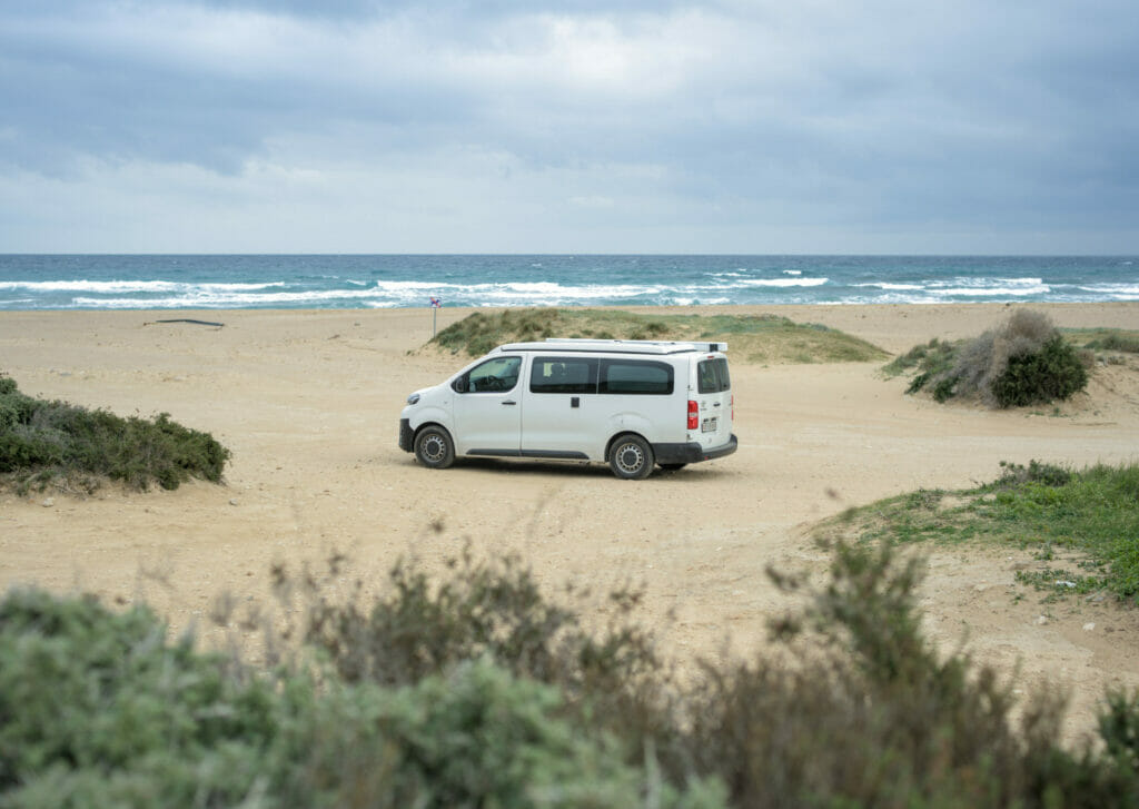
If, like us, you travel independently (no agency), we strongly recommend you to have a car! There are a few buses between the main towns, but not enough to make it easy to see several place in one single day. If you are in Almeria or Roquetas del Mar you can rent a car by the day (see prices on Rentalcars). If you are more in the mood for a van, we invite you to read our special article on van rental, where you will find all the information and reference sites. Afterwards, if you prefer not to drive, organized tours are proposed on Civitatis from Almeria or Roquetas del Mar.
Unusual activities in the natural park Cabo de Gata
For our part we were satisfied with the hike and the viewpoints (and believe us there is a lot to do). After, we will admit that if we had not been in December, we would have perhaps let ourselves be tempted by a trip in kayak (the creeks look superb and clearly it must be nice to go for a swim there) 😉 On Civitatis there are many tours (quad, horse, boat, kayak, jet ski) from San José, Carboneras, Almeria, etc…
Important Info: the surroundings of Almeria and its sea of plastic
It is impossible to talk about the Cabo de Gata natural park without at least mentioning the immediate surroundings of the park. As mentioned above, the campground where we stayed was located just outside the protected natural area. Very well placed to go to the different spots, it also made us see a little closer the ecological and human disaster that is going on right next door.
The region of Almeria is known for its production of tomatoes, zucchinis, cucumbers and peppers that supply many of the supermarkets in Europe during the 12 months of the year. This is not the place to start a debate on the mass production of these fruits and vegetables, but we can’t hide the fact that the sight of these thousands of hectares of greenhouses made us very sad. Beyond the visual impact of this ocean of plastic that covers the whole plain, the damage goes far beyond.
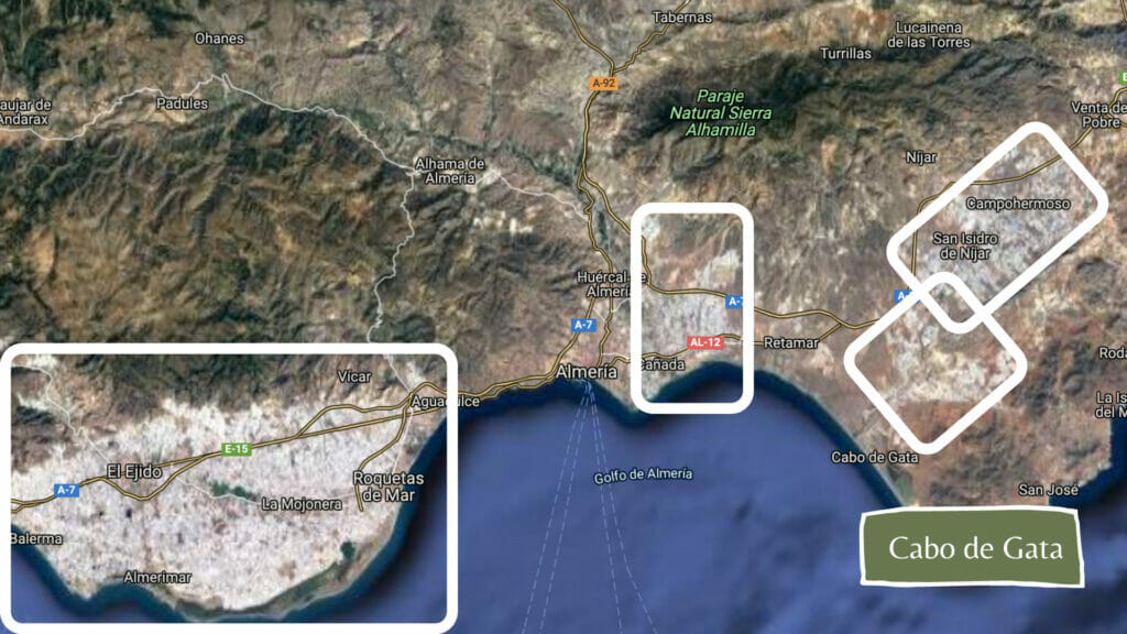
All the greenhouses are therefore made of plastic sheeting. The problem is that in the region it can be windy, very windy. The result? A lot of greenhouses are damaged and torn and pieces of plastic come off all the time. Never in our lives have we seen so much plastic on the side of the road, in the plains, shrubs and even on the coast! To help you visualize the extent of this sea of plastic, we have put below a satellite view of the area. All that is white are greenhouses…
In terms of surface area, this corresponds to the equivalent of almost 50,000 soccer fields!!!!
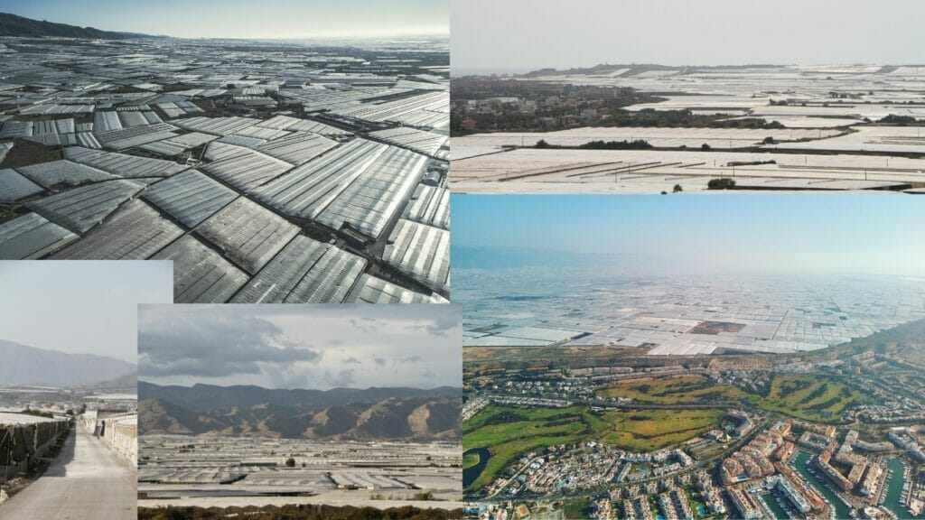
The second point that impressed us even more was the conditions in which many of the workers live. Many migrants arrive on the Spanish coast and the greenhouses of Almeria are often described as a place where there is work 10 months a year. Hmmm… yes, there is work, but under what conditions? Many growers here hire migrants “by the day” and pay them a salary that is far below the Spanish legal minimum. Many workers here only get 35 euros a day! At this salary, and without being declared, it is impossible to have an accommodation.
As a result, there are many “camps” along the roadsides. Planks and a few tarpaulins as housing. No running water, no electricity. It seems to us totally astonishing that people live in such conditions and that while being employed in the production of vegetables sold at low prices in our dear Swiss, French, German supermarkets, etc… For our part, we have been paying attention to our food and its origin for a long time, but after seeing this place we promise you that we will, more than ever, pay attention to eating local and seasonal food.
To learn more and see images of this place, we invite you to read and watch the following reports:
- A very clear video explosing the problem
- Euronews interviewed several workers in this post
- A post on Olive Press
- An article on Food Unfolded
- A series of aerial photos of the greenhouses taken by photographer Bernhard Lang.
- An interesting post describing a bit more the migrants’ terrible situation
It is difficult to predict what will happen to the greenhouses and all the workers in the future… In the last few years, the surface area of operations has been decreasing (a very recent phenomenon). What could sound like good news is in fact only a transfer of the problem unfortunately. Spanish prices becoming “too expensive”, many supermarkets prefer to turn to North African countries for supplies because the prices are, for the moment, lower… 🙁
This is the end of our stay in the Cabo de Gata area. The surroundings and the greenhouses will definitely have been a shock, but the park itself is superb and fortunately this space has been protected!
We realize that the last part of our article is not directly related to travel and that we (unfortunately) have no concrete solution to propose. We are fully aware that we are all part of the problem on a certain scale (because yes, even if we are very careful with our purchases we are not blameless and we have without any doubt already consumed vegetables produced in disastrous human conditions) and this message is not at all intended to make people feel guilty. It just seemed very hypocritical to talk about the park without mentioning what it is impossible to miss when you get there.
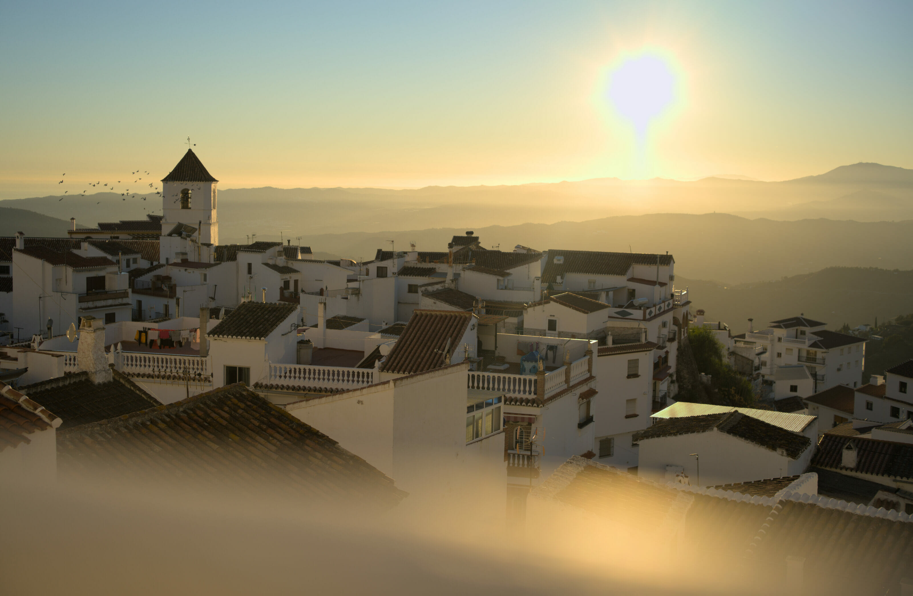
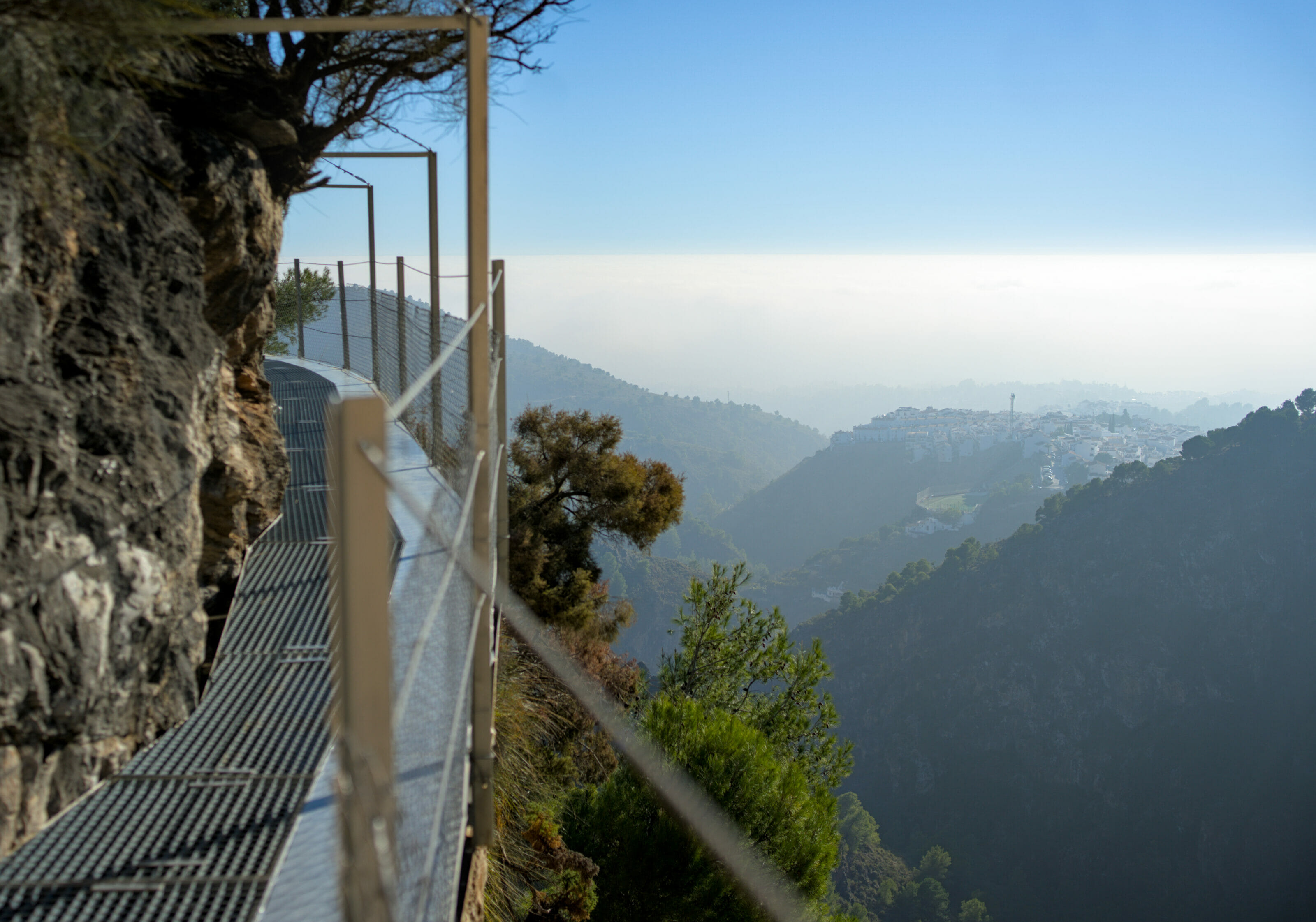
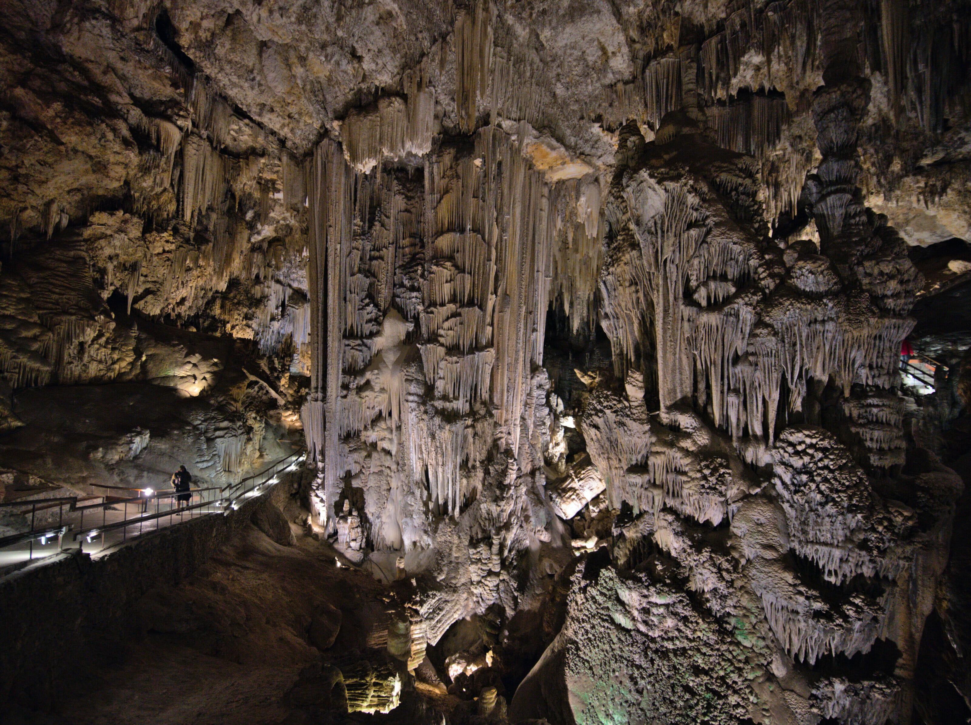
On that note, we wish you many beautiful discoveries and hikes in Cabo de Gata! We hope that this article will be useful to prepare your future trip to Andalusia (and maybe give you the desire to eat more red cabbage and endive this winter (or whatever is seasonal where you live). 😉 We’ll see you for our next adventures in Andalusia around the beautiful white village of Frigiliana and the Nerja caves.
Note: This article contains affiliate links. By using our links to book an accommodation or an activity, you don’t pay anything extra but we will get a small commission. These commissions help us to continue to provide you with independent articles. This whole trip was fully organized (and paid) by us. Thank you for your support.
Pin it
Join the discussion