Back from our 2 months in Brittany, we finally take some time to go back to the pictures and to start our series of articles about the region. Our road trip in Brittany was clearly punctuated with lots “Beer hikes” (our new book project, but we’ll tell you more about this later! If you want to take a look at the first book from this serie, take a look here (in French only)). But don’t worry, during these 2 months we didn’t “only” hike and drink craft beers. 😉 There are some regions in which we lingered a bit more and we thought we would share our favorites here. So we start this little series of 100% Breizh articles with a region that we particularly enjoyed: North Finistère
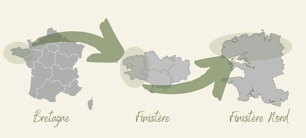
Before starting with the blog post itself, I thought that a little geographical presentation could be useful. Brittany is the most western region of France and Finistère is the most western department of France.
Talking with friends who live near Brest, they told us that the South Finistère or the Crozon peninsula were very popular places but that, strangely, the North Finistère was much less known and visited. And we are forced to admit that, during our last 2 visits in Finistère in 2017 and 2018, we had indeed skipped this part. We had visited the south Finistère, we walked 80km along the GR34 on the peninsula of Crozon and we had even made an incursion in the “Kreizh Breizh” (central Brittany) and the region of the Monts d’Arrée… But the north coast? Nope, never… Thus, in 2021 we have decided to make up for this big lack and have spent ten days exploring the area between Carantec and Brest.
Stroll on Callot Island at low tide
For ease of reading, we decided to present the different places in a “geographical” order, following the north coast from top to bottom and from east to west. So we start this little tour in North Finistère with a first very beautiful stop: the small town of Carantec, starting point of a beautiful little walk to the Callot island.
Callot Island is a truly unique place: an island that can be reached on foot (or by car if you are a resident) by taking the submersible road. What is it? Well, it’s simply a road that goes through the sea and is revealed at low tide! When the water recedes, fishermen come here to collect shellfish while pedestrians use the road to reach Callot Island.
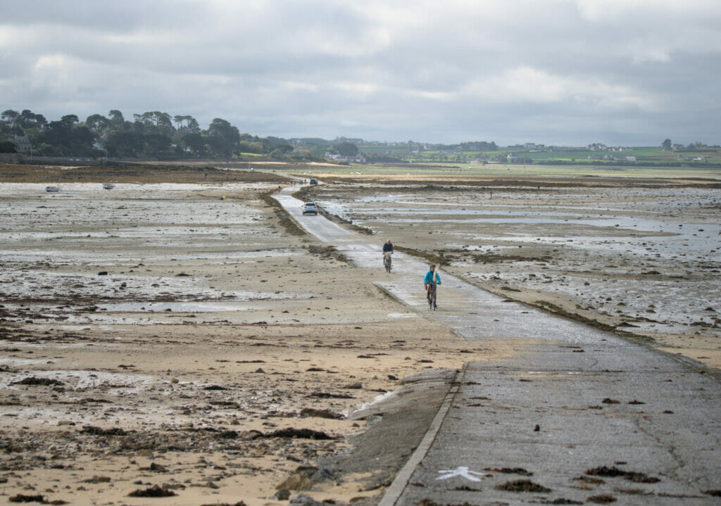
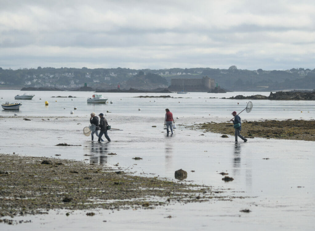
The island itself is not very big; 2,15km long and between 15 and 300m wide. This leaves plenty of time to walk around before the water rises again! This small piece of land is a little isolated from the world and counts only 9 families who live there year round. The rest of the houses are seasonal rentals as well as vacation houses. But although inhabited, the place is a beautiful natural and wild escapade! We strongly advise you to “climb” to the highest point of the island which is the chapel of Notre-Dame de Callot. You will notice that I put quotation marks around the word “climb”, it’s simply that with a maximum altitude of 38m we won’t call it a true ascent. 😉
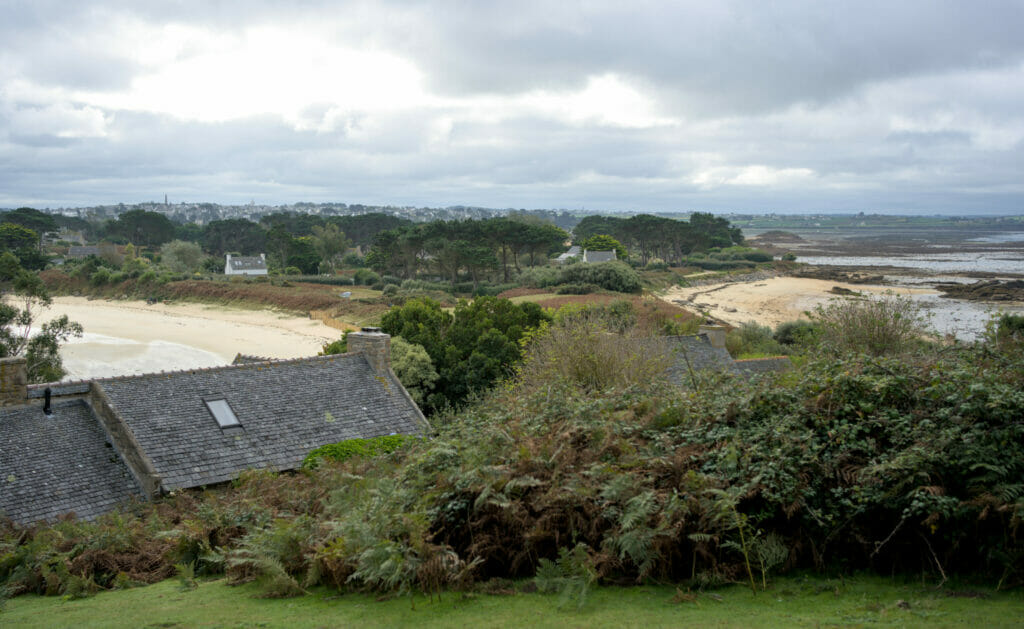
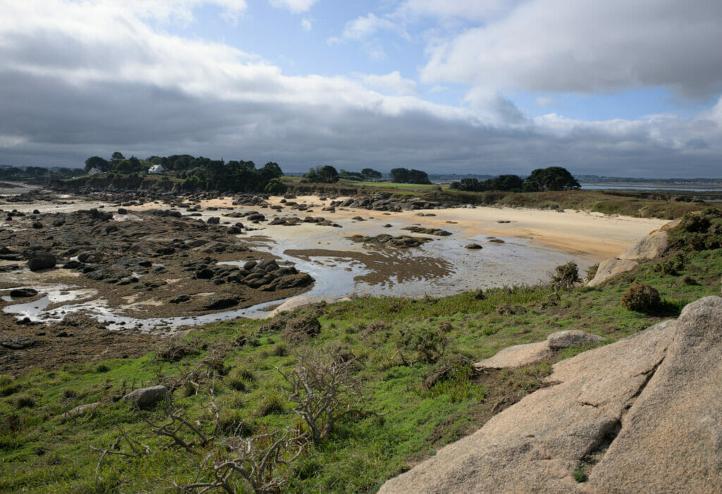
Behind the chapel, we advise you to follow the small path that goes to the northern point! Untouched by any habitation, this last spit of land is really magnificent; we enter a landscape mixing granite rocks and wild dunes.
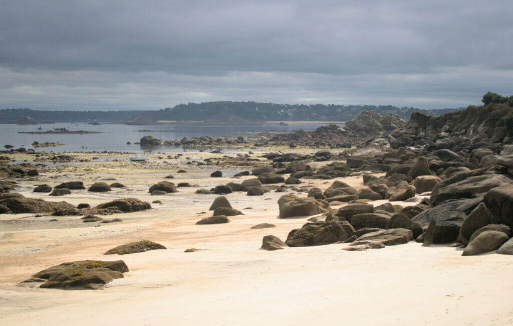
The amount of time you will have on the island before returning depends greatly on the tidal range. When it is at its highest, you can stay more than 4 hours on the island! But don’t worry, even on days with a lower tidal range it is easy to go around the island in less than 2 hours.
The crossing can only be done at low tide, so it is important to plan your visit! It is important to leave the island 30 minutes before the end of the crossing time indicated at the port. Most of the time, there are two crossing opportunities per 24 hours (including at night). However, it is important to note that on some days there is the phenomenon of neap tides; tides of low amplitude. On these days the crossing is not possible on foot! You will find the timetable of the crossing on the Carantec homepage (it’s in French only, but you’ll find the crossing times in the sidebar).
Meneham and the Côte des Légendes
Going along the coast towards the west, another spot not to be missed (according to us) is the site of Meneham. In fact, its Breton name is “Menez Ham” which translates as hamlet behind the mountain. And that’s exactly what it is! In fact, Meneham is an old village built in the XIXth century next to a guard house which was built in 1756 between the rocks. After the Second World War, the hamlet was gradually abandoned but it has since been bought by the commune of Kerlouan which has decided to restore it. The place is no longer a village in the strict sense of the word, but there is an inn, a gite, the office of the tourist office and a museum, all in thatched houses.
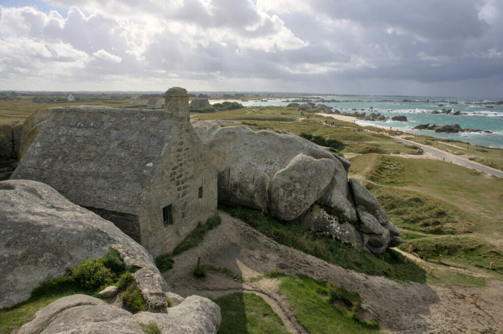

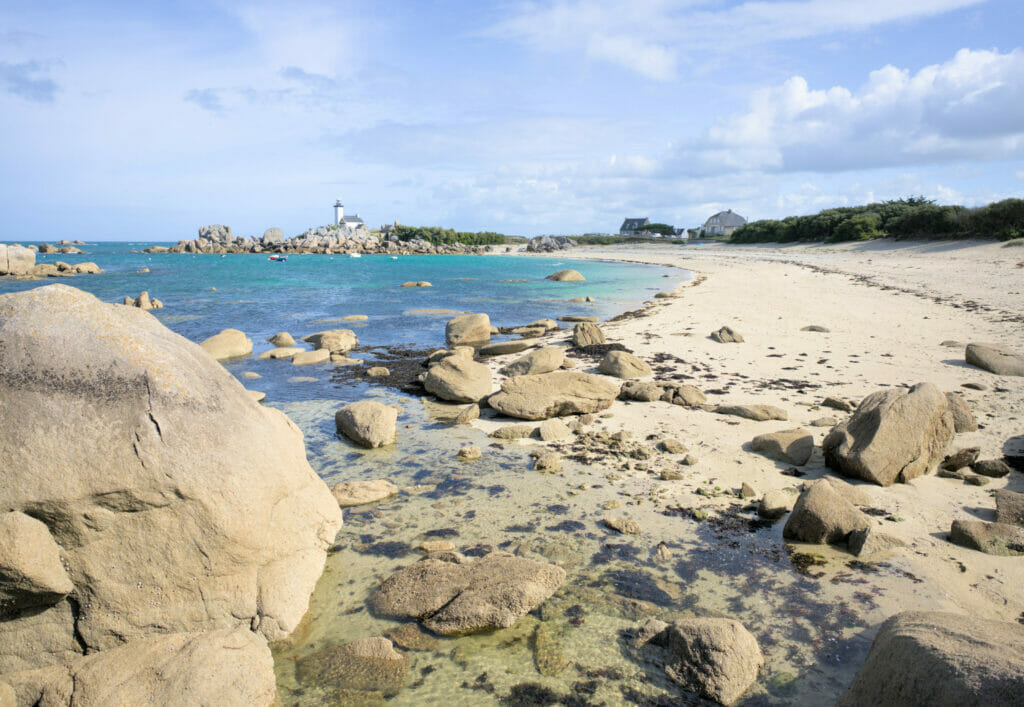
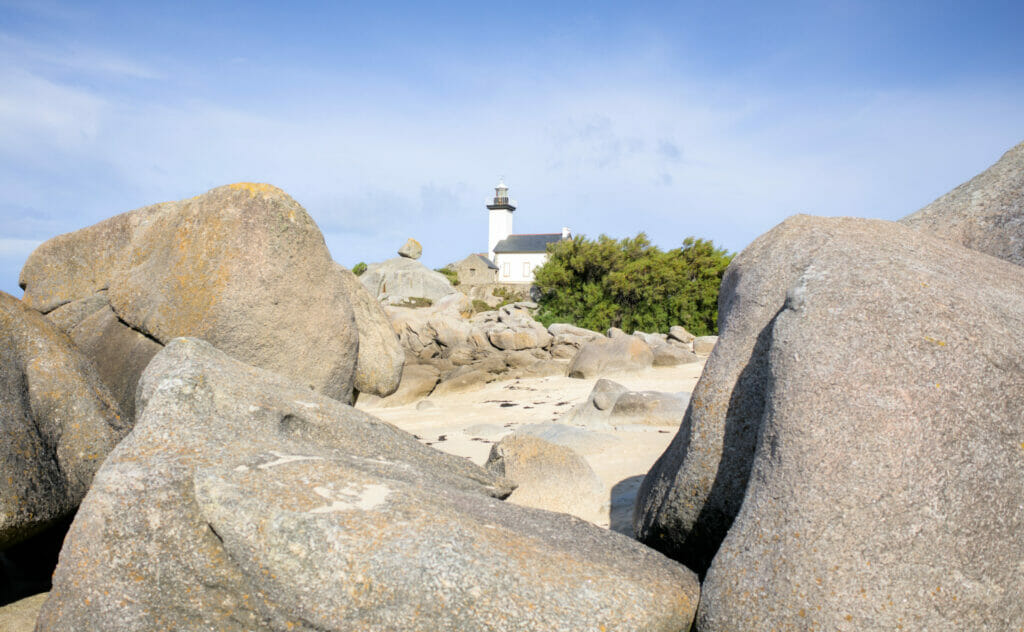
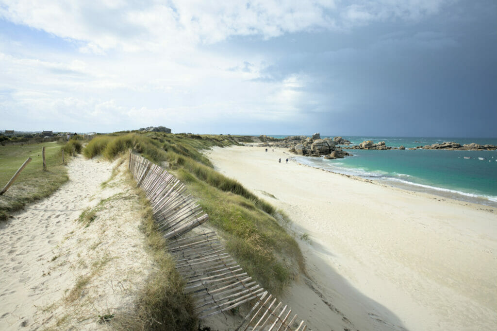
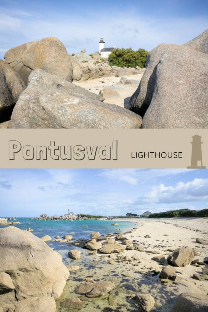
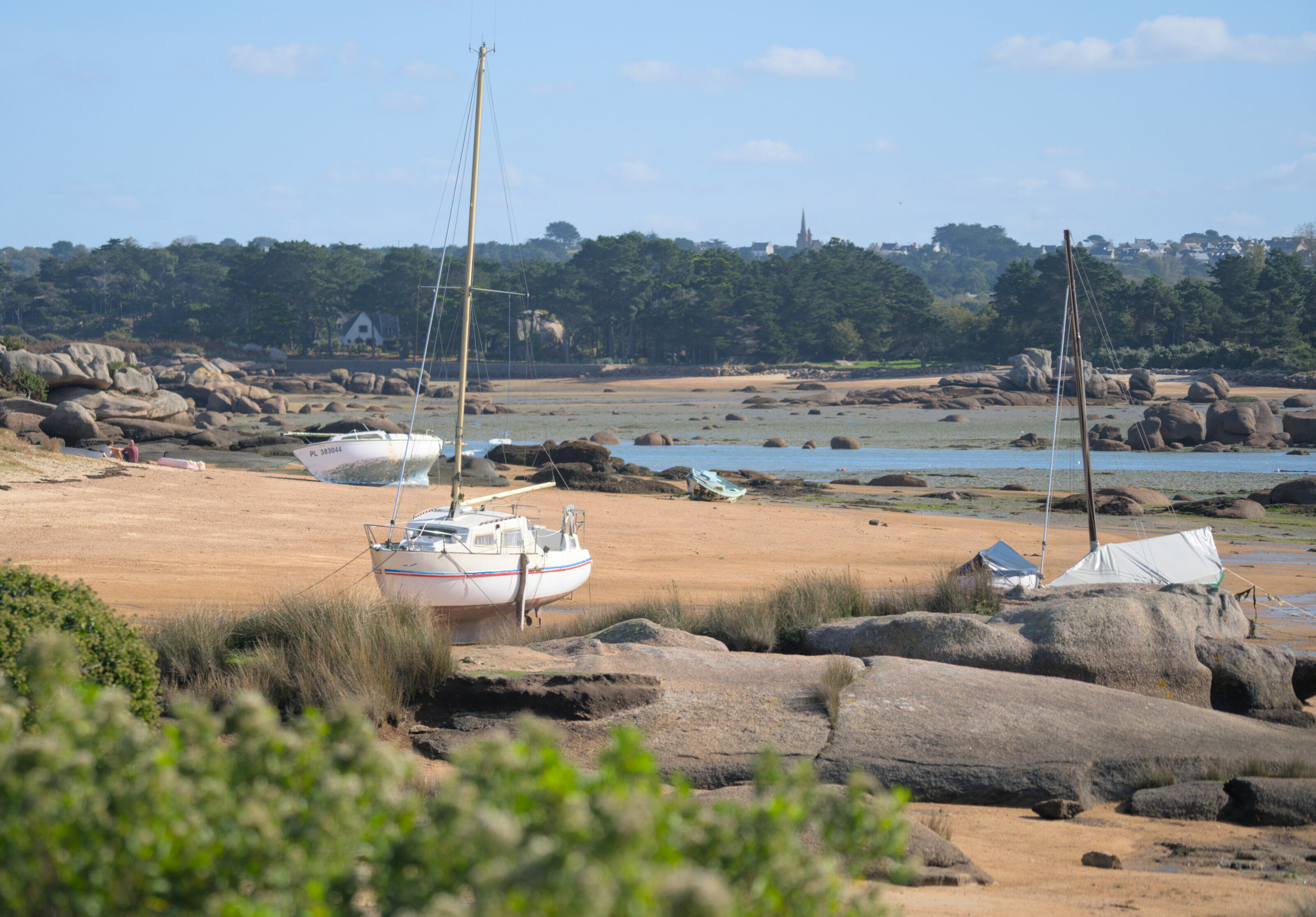
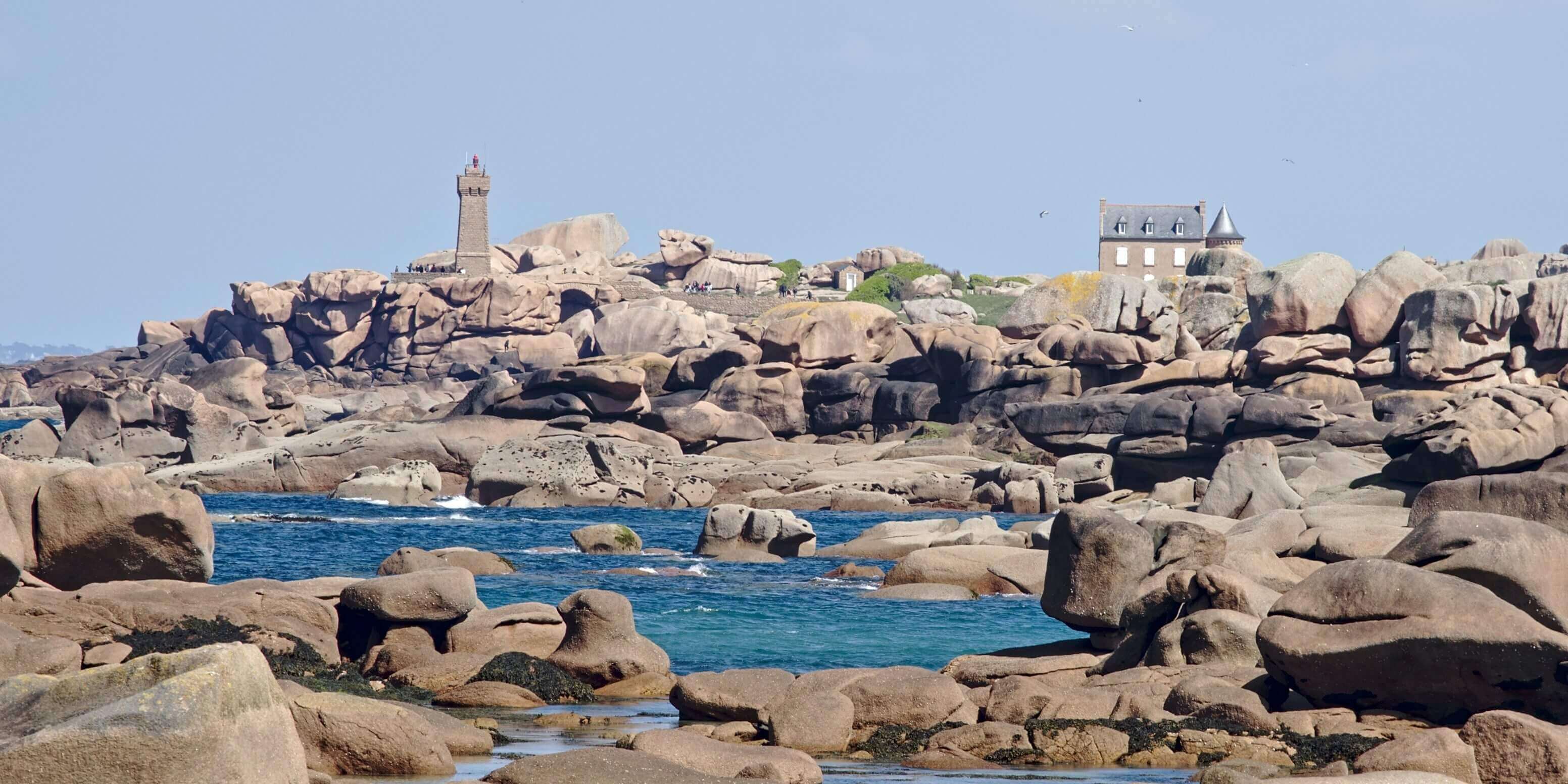
But beyond the village, we clearly recommend you to plan a little more time and go for a walk along the coast! Our advice? Follow the beach in an easterly direction and go to the Pontusval lighthouse. The walk is 5 km long (round trip). You can either follow the coastal path or, even better, walk along the beach. The whole coast is strewn with rocks that have been sculpted by the rain and the wind… It’s simply grandiose!

One of the reasons we’ve come back to Brittany so many times is also our love for beautiful hikes and craft beer.
In 2022, we published a new book called “Randos Bière en Bretagne”, a hiking guide that offers 40 itineraries through Brittany and with the particularity of always ending with a local, craft beer.
Thanks to this guide you will be able to discover the rich diversity of Brittany’s landscapes but also of its brewing scene.
The book is not translated into English (only available in French), but if you speak a little French, it may give you some ideas!
You can find the book in most bookshops in Brittany as well as on the following websites
Le pays des Abers – North Finistère
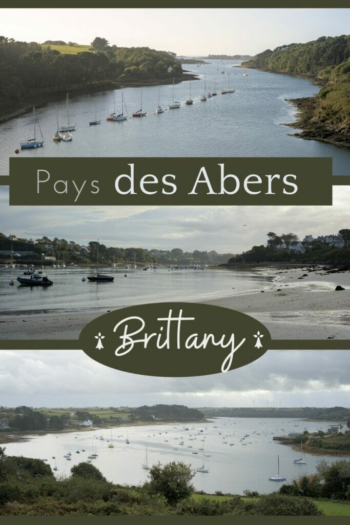
According to the dictionnay, an aber is a narrow part of a river swallowed by the sea and still according to the definition it is a name that can be used in all Brittany. What was our surprise when we arrived at our friends from Brest and they immediately corrected us when we spoke about “aber” while mentioning the estuaries of the south… No no, the abers are typical of the North Finistère and they are exactly 3: the aber Wrac’h, the aber Benoit and the aber Ildut. The rest? They are Rias or maybe you can call them estuaries! Is it basically the same thing? Probably yes… but if you want to score points with northern Finisterians then you know what to say now 😉
Note: we are going to talk mainly about the abers in a general sense. If you want to see the precise locations from which we took the pictures, go to the map at the end of the article. We put pins on the most beautiful viewpoints from where to observe these estuaries.
The lighthouse of the île vierge – viewpoint of Castel Ac’h
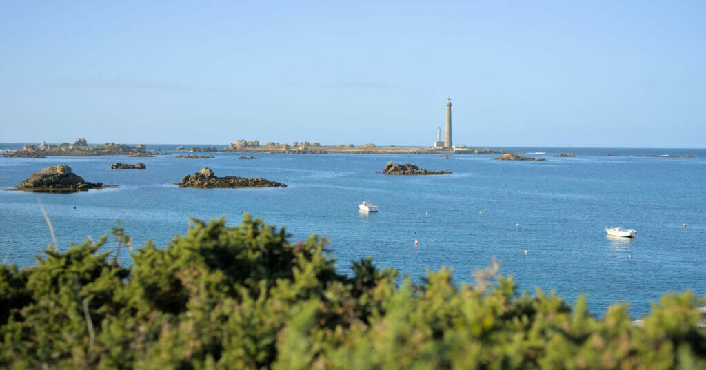
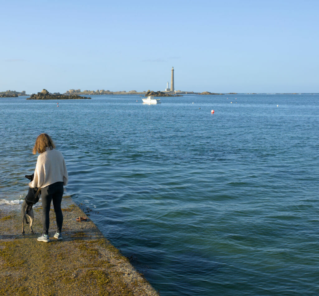
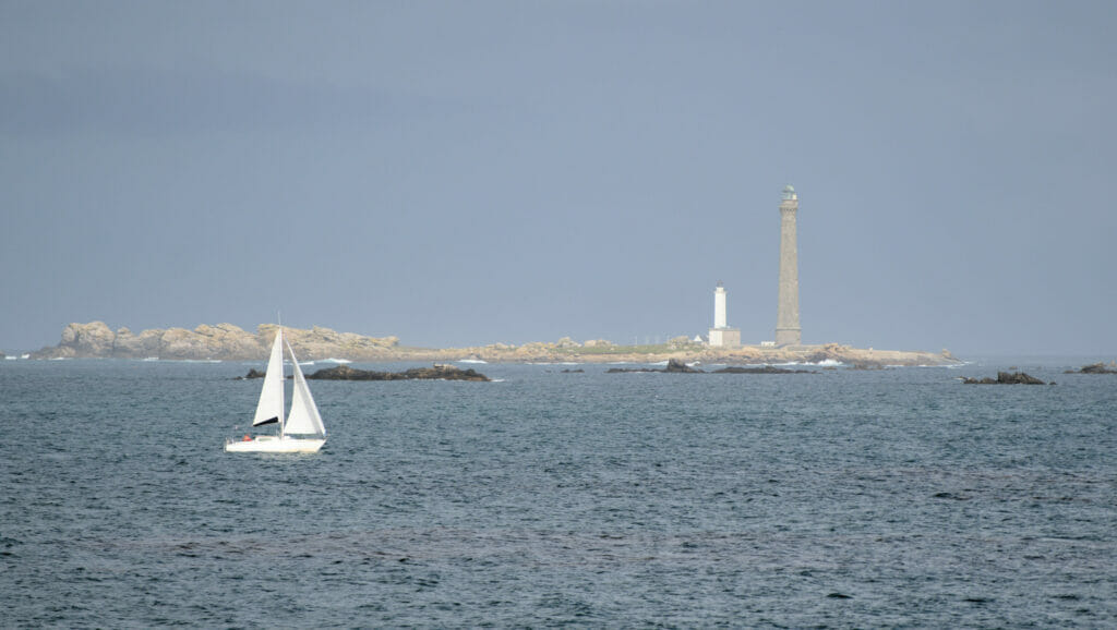
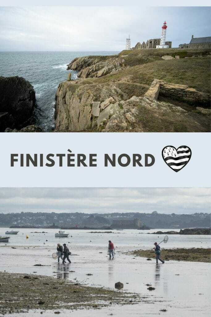
At the entrance of the Wrac’h aber is the biggest stone lighthouse in the world (82,5 m): the île Vierge lighthouse! Unfortunately, we did not have the opportunity to visit it (note: it is possible to go there on foot during high-coefficiant tides or by taking a shuttle). Once at the top of the 360 steps leading to the top there is, apparently, a breathtaking view. For our part we just saw the lighthouse from the Castel Ac’h viewpoint but we clearly want to to go there one day. Moreover since 2021 it is now possible to spend the night in the old house of the guard. No doubt that this experience must be quite unique. More info on this lodge (in French only).
The aber Wrac’h
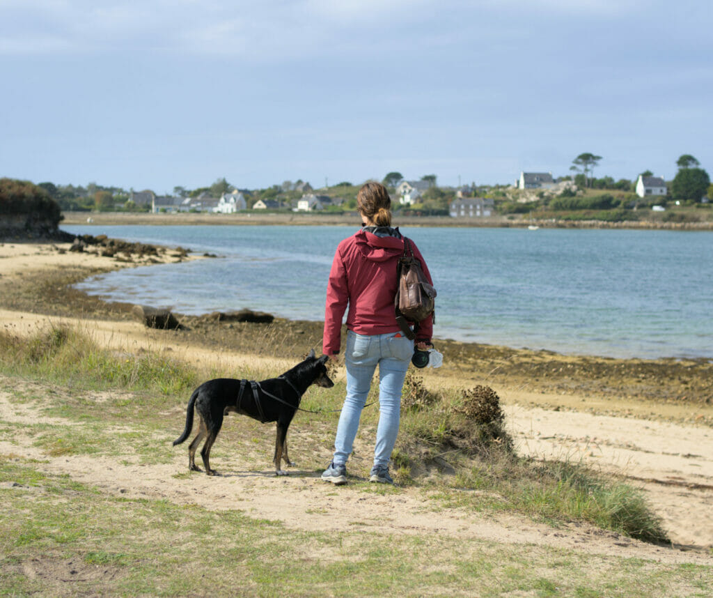
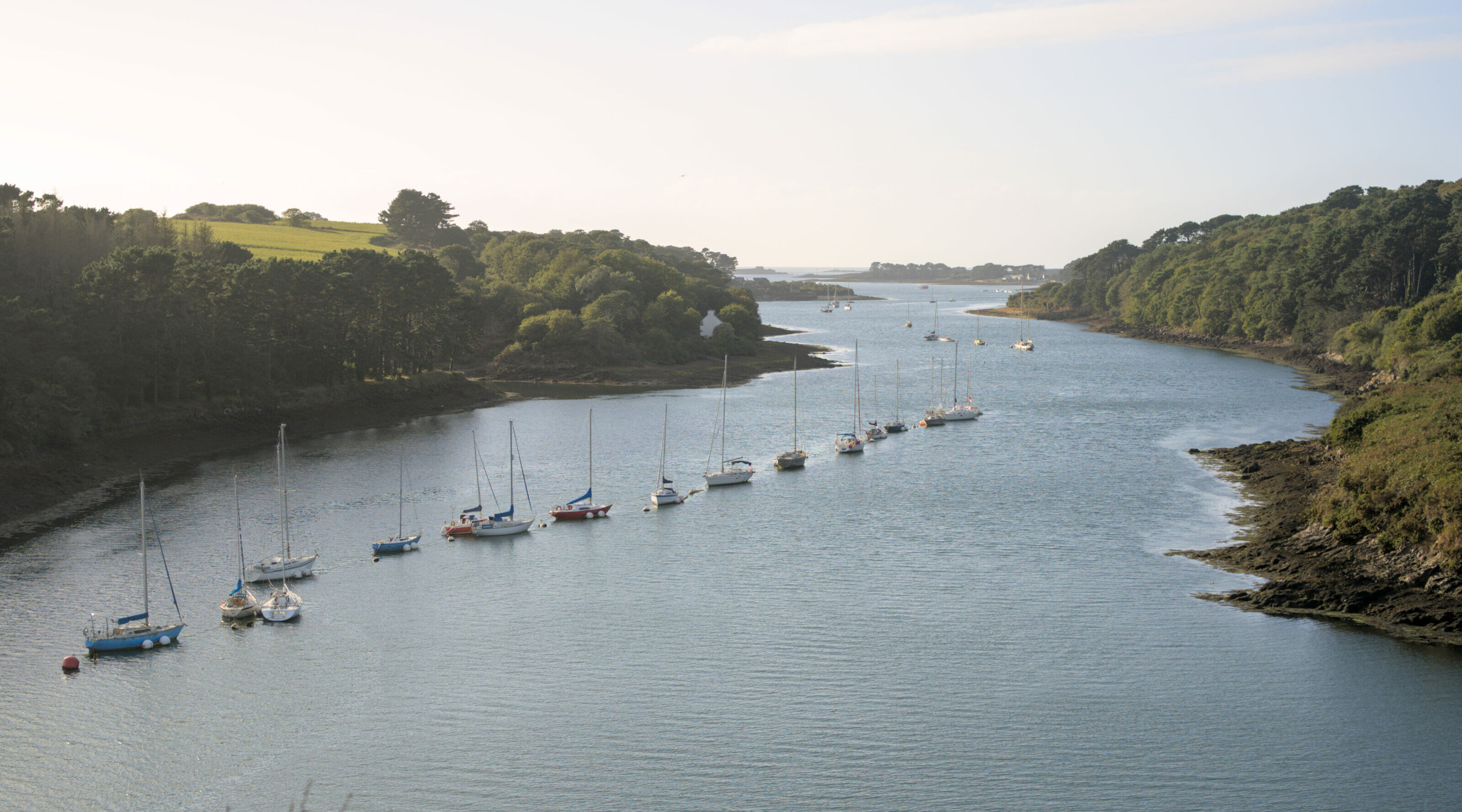
The aber Wrac’h is the longest of the trio and the one that is often the most well-known! During our stay in North Finistère, we were lucky to have some great friends who lent us their house overlooking the Wrac’h aber. (Thank you Cyril and Sophie!) For a week, we had a front row seat to observe the radical changes of landscapes with the tides. Not far from their home is one of the most beautiful viewpoints on the aber Wrac’h (we put the location on the map at the end). Every day, during our walks with Winchy we stopped there to admire the landscape.
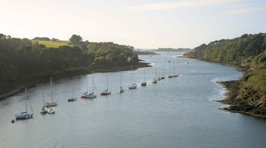
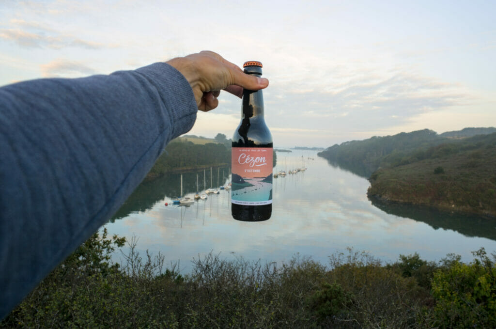
In our search for Breton craft beers we came across the excellent Cézon brewery located in Lannilis. Opened in 2020, this microbrewery has chosen this exact spot to illustrate the label of one of its beers… In short, we absolutely had to come and take a picture of it here 😉
Note: this view is undeniably a very nice spot to get a drink at sunset #justsayin
If you are in a more sportive mood and want to discover the Wrac’h on foot, we strongly recommend the coastal path between Ker Ar Guevet beach and Sainte-Marguerite dunes. This section will take you right in front of the Cézon island and its famous Vauban fort. At low tide it is possible to reach the island on foot and visit the fort with a guide from the association (only from May to September and after registration at the tourist office).
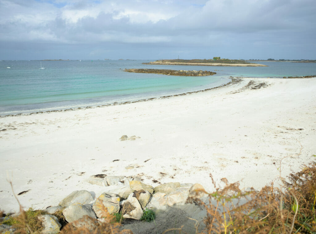
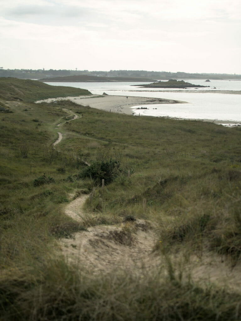
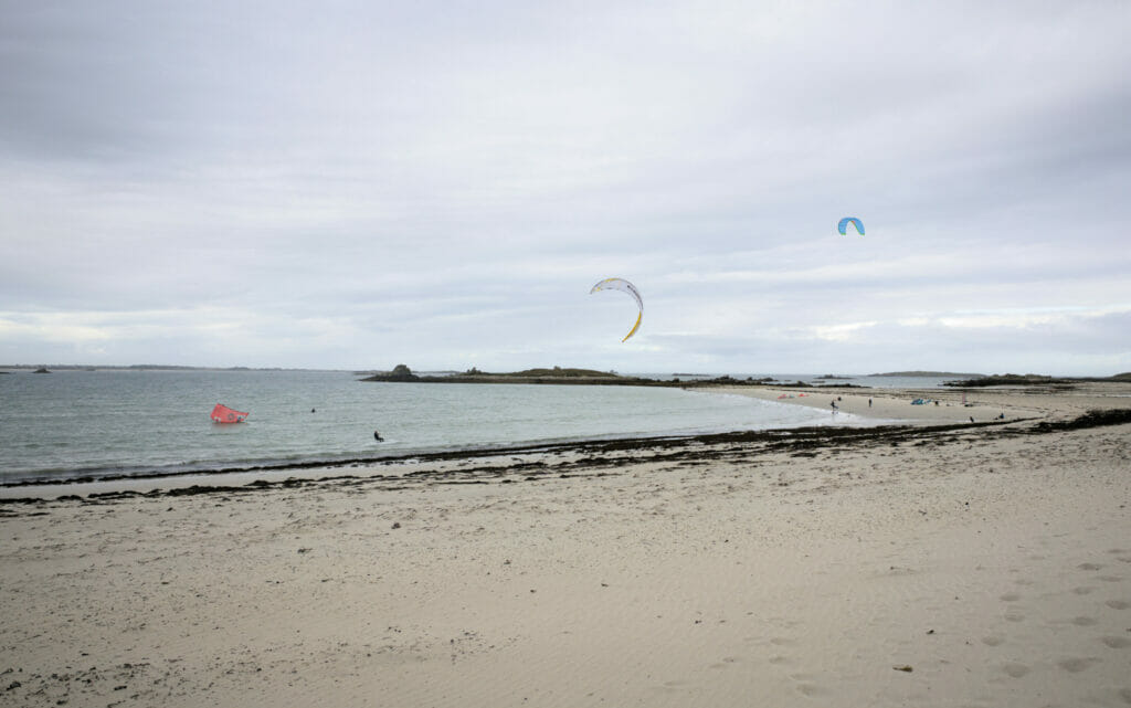
From the fort, the coastal path continues to pass on the west coast. We leave the aber Wrac’h and we approach the mouth of the aber Benoit. It is crazy because from a coast to the other the landscapes change radically! We pass from white sand beaches to a landscape of wild dunes (the dunes of Sainte-Marguerite) and shortly after we arrive on the beach of Sainte-Marguerite. This spot is very well known by kitesurfers because it seems to be a very good spot to learn (few waves and a lot of wind).

The aber Benoit
This one is naturally Benoit’s favorite 😉 An aber which has his name, we could not be in the area and not go at least take a look. We had seen it while returning from the dunes of Sainte-Marguerite but on the advice of our friends we also went to the point of view which overhangs the beach of Béniguet. And ohh boy, this place is really splendid! It is also worth going down on the beach to get a different perspective.
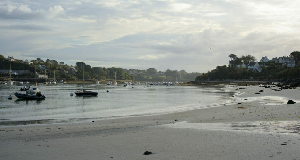
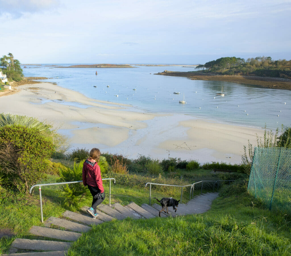
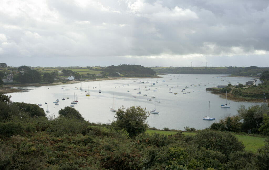
The first 2 pictures are taken from the south shore (towards the beach of Béniguet) while the last one was along the north shore. (see the precise locations on the map at the end of the article)
From aber to aber taking the coastal road
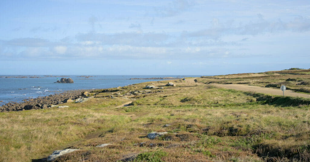
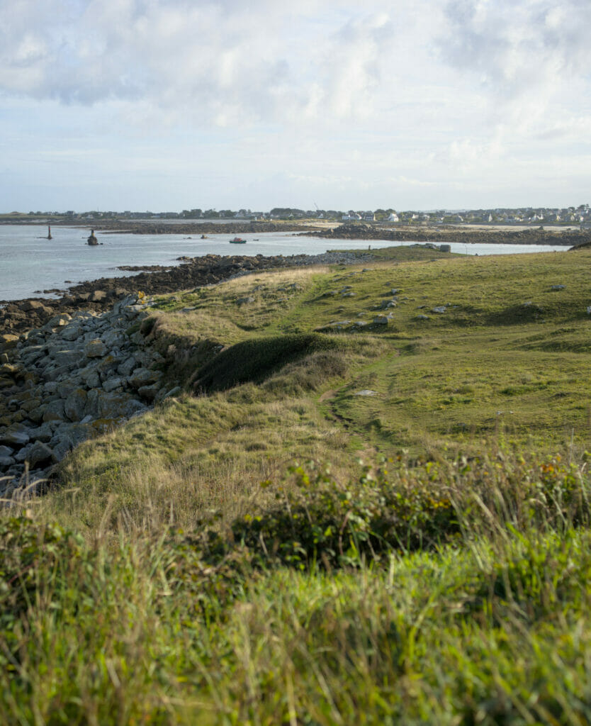
After a few days in the Pays des Abers we decided to go down towards Le Conquet. When we mentioned this plan to our friends they immediately advised us to take the coastal road. This route is slightly longer but it’s really worth the detour! We stopped several times for photo breaks but I believe that the most spectacular section was the one known as “la route des tempêtes”. Between the localities of Tremazan and Penfoul, the D127 passes very close to the water. During our road trip, the weather was great, but we can imagine that in case of storm it must be even more impressive! We don’t have any particular place to recommend along this road, but if you are in the area by car, don’t hesitate to take this route!
The Saint-Laurent Peninsula
On our way to Le Conquet we made a last stop along the coast: the Saint-Laurent peninsula. This mini piece of land attached to the continent by an isthmus is ideal for a quick breath of fresh air! The landscapes are grandiose and the hike is very quick (30 minutes only). It is a small panoramic stop along the coast, perfect to stretch your legs (or Winchy’s legs in our case… it was the reason of our stop but we don’t regret it at all!)
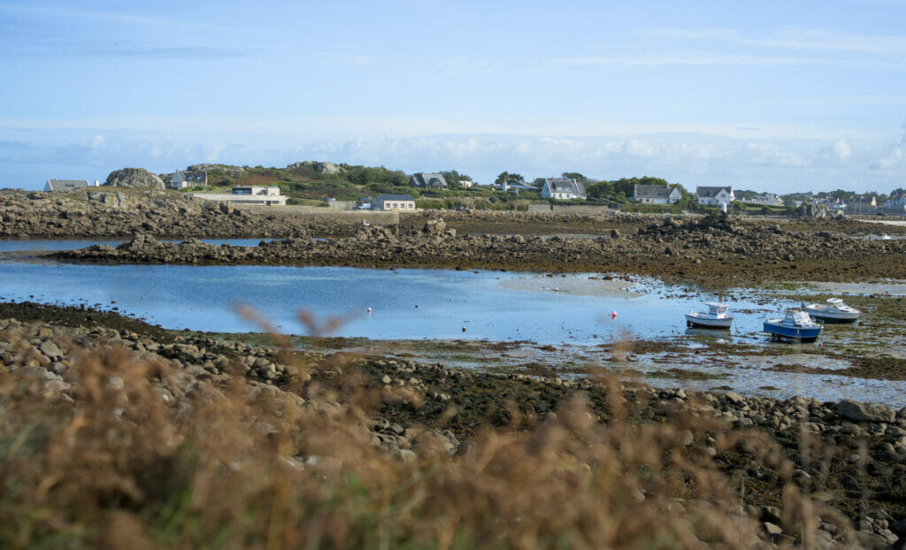
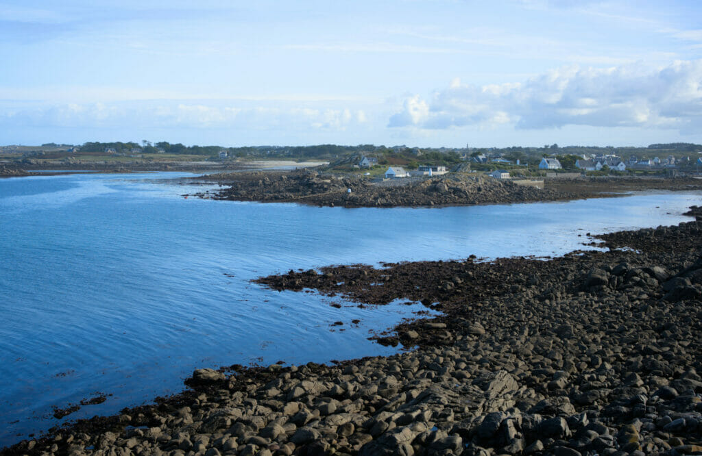
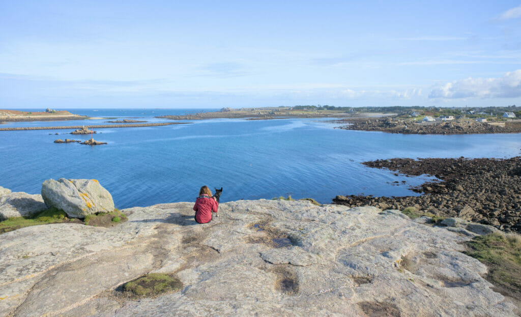
Info: Park at the small parking lot directly at the beginning of the peninsula. A path (marked) goes all the way around. Don’t miss the viewpoint on the rock at the northwestern tip!
Around Le Conquet – southwestern tip of North Finistère
The small maritime town of the Iroise region is mostly known for being the second largest fishing port in France as well as the departure point for the islands of Ouessant and Molène. For our part, we did not come here to taste shellfish nor to make an excursion on the islands… No no, as often it is hiking which lead us here 😉 And at this level, we can confirm you that the area is worth the detour! The GR34 passes by there and the coastal path linking Le Conquet to the Pointe Saint-Mathieu is really spectacular.
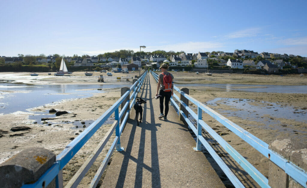
To explore the surroundings we parked near the peninsula of Kermorvan and took the pedestrian bridge that spans the Ria to reach the city center. Our initial idea was to park us on this side to, on the one hand to avoid entering the narrow streets of the center with our van but also because we wanted to finish the day with a walk to the lighthouse of Kermorvan because it is apparently magnificent. We can’t tell you more about this lighthouse unfortunately because we finished the hike under pouring rain and we rushed in the van. 😉 But if you are in the area, it seems that the lighthouse and the peninsula are worth it… you will tell us about it!
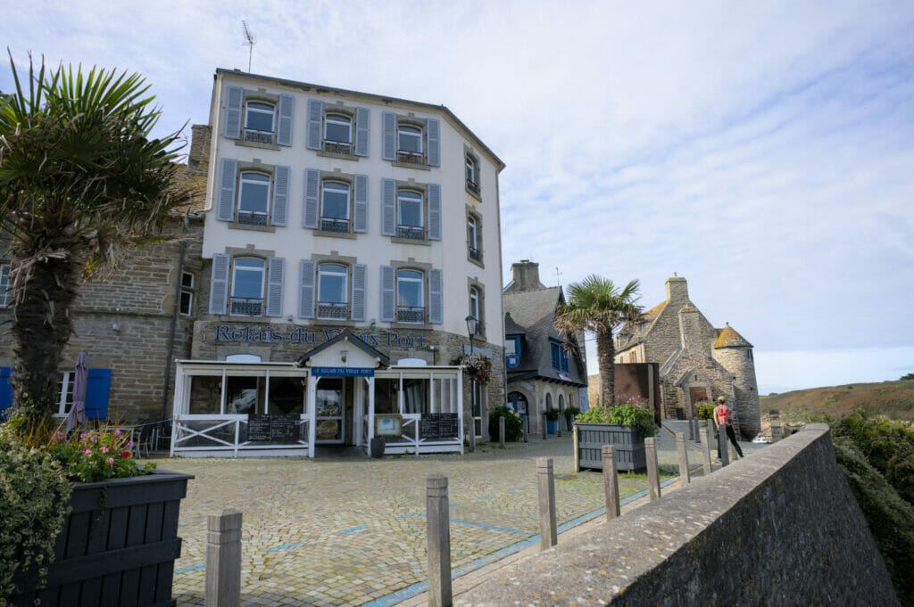
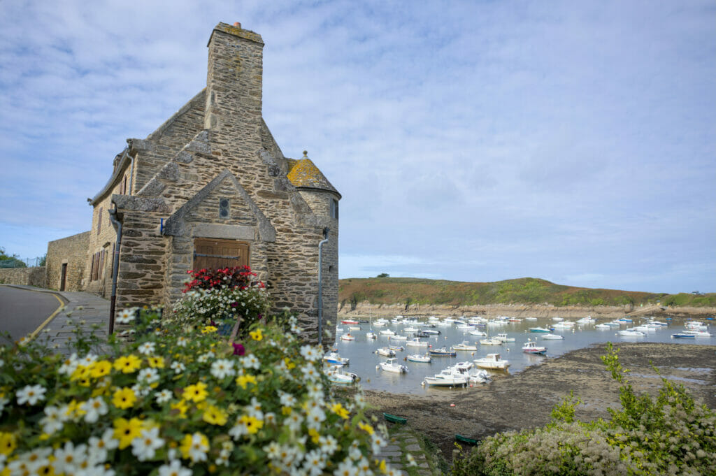
Some pictures of Le Conquet while the sun was still shining. 😉
The pointe Saint-Mathieu and its abbey
4 km south of Le Conquet is an incredible site that attracts many visitors every year: the Pointe de Saint-Mathieu, its lighthouse and its abbey. When you arrive here you have the feeling of reaching the end of the world; steep cliffs, waves that crash noisily and a wind that blows your hair off. But what makes this site even more spectacular is surely the fact that it also shelters the ruins of an ancient abbey dating from the 11th century! Until the French Revolution, the place was occupied by Benedictine monks who ensured the security of the coast by lighting a fire on top of a tower. Abandoned since then, it “lost” its roof, but it is undeniable: its charm remained!
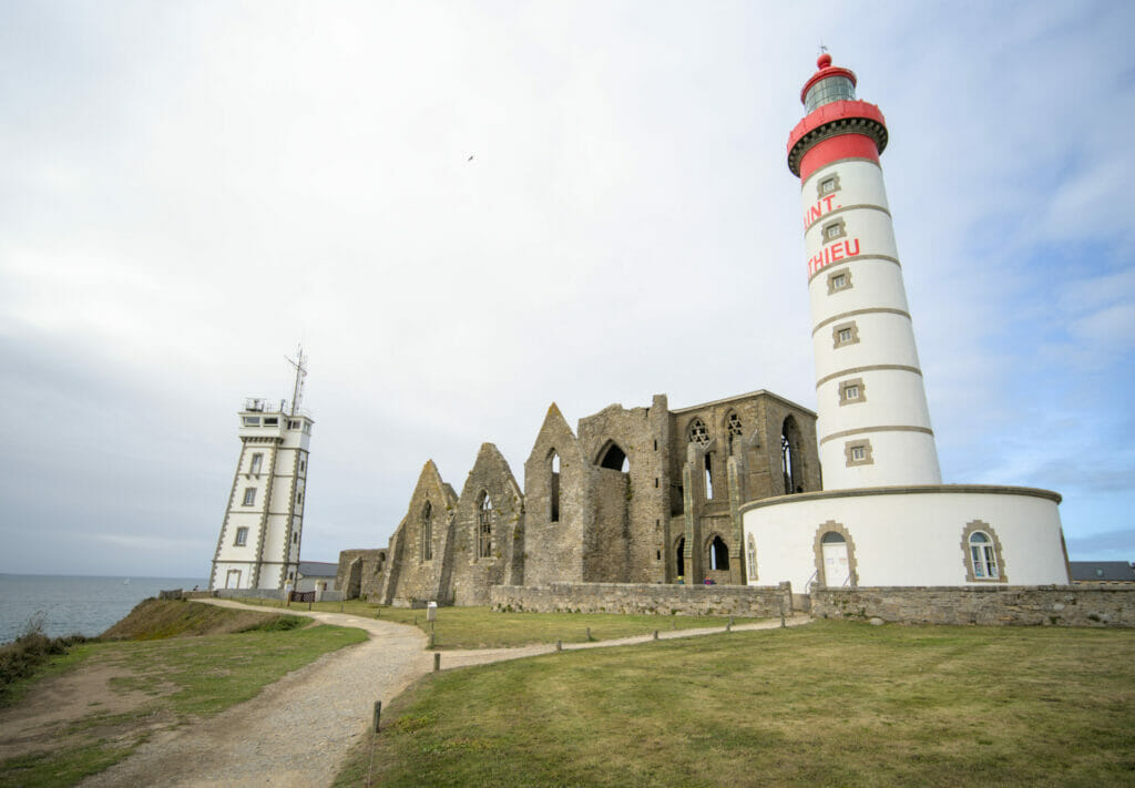
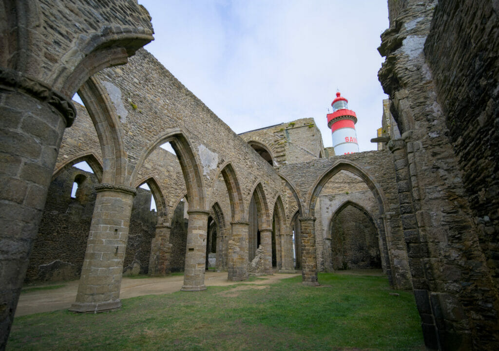
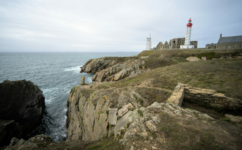
Right next to it is a 37m high lighthouse since 1835. During the school vacations it is possible to visit it. We would have been very curious to see the panorama from up there, but unfortunately we were “out of season”. Next time! 🙂
To reach the Pointe Saint-Mathieu you can do as we did: follow the coastal path from Le Conquet (about 9km round trip). But if you prefer it is also possible to come by car (many parking places available).
The abbey and the memorial dedicated to the missing sailors can be visited anytime (free admission).
The abbey museum and access to the lighthouse are subject to a fee (3.5€ for a combined ticket) and only from June to September and during school vacations
The garden of Vaéré
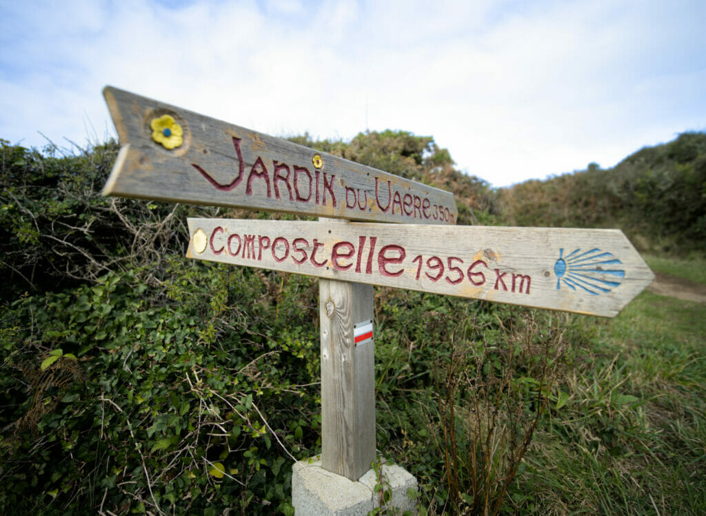
Here is a very atypical place in Finistère that we came across during our beer hike… The garden of Vaéré! A little lost “in the middle of nothing” is this little oasis of greenery and miniature architecture. But before telling you more I think a little historical context is in order. In fact this place is the work of a passionate person named Gaby Quellec. In 1970, during the consolidation of the plots of land, the ancient wash house of Vaéré was buried under earth and debris. Gaby had memories of his parents still using this ancient washhouse and he wanted to restore its glory. Armed with his wheelbarrow and a shovel, he began by clearing up the washhouse. Once this first mission was completed, he invested all his time and energy to develop a beautiful garden surrounding the washhouse. The garden has of course many flowers and plants, but Gaby did not stop there: he built miniature replicas of lighthouses, village houses, etc… A titanic work that is simply grandiose!
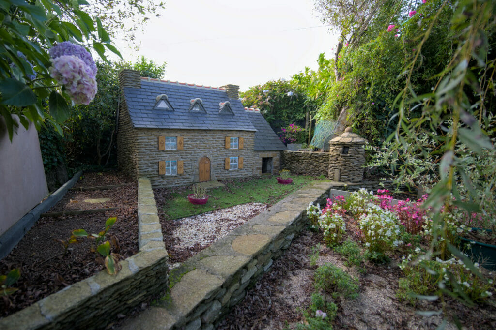
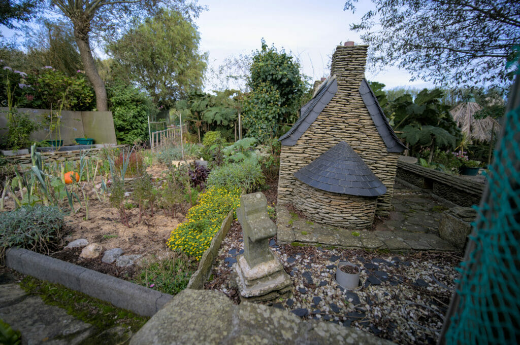
The garden is “private” but a sign at the entrance invites visitors to come and discover it. Unfortunately, we were here in autumn and it is obvious that the place is probably even more exceptional in spring or summer (with everything in bloom). In short, if you come in the region of Le Conquet, we strongly recommend you to visit the garden of Vaéré!
Brest – a short urban stroll
What if we finish with the “ugly duckling” of Finistère? No, I’m exaggerating, but it is true that Brest does not have the reputation of being the most beautiful city in France. Unfortunately, the city was almost entirely destroyed during the Second World War and did not try to respect its old architecture during its reconstruction. Other cities like Saint-Malo also suffered a lot from the bombings, but this one was rebuilt almost identically. In Brest it looks like they got a big discount on concrete while rebuilding the place… 😉
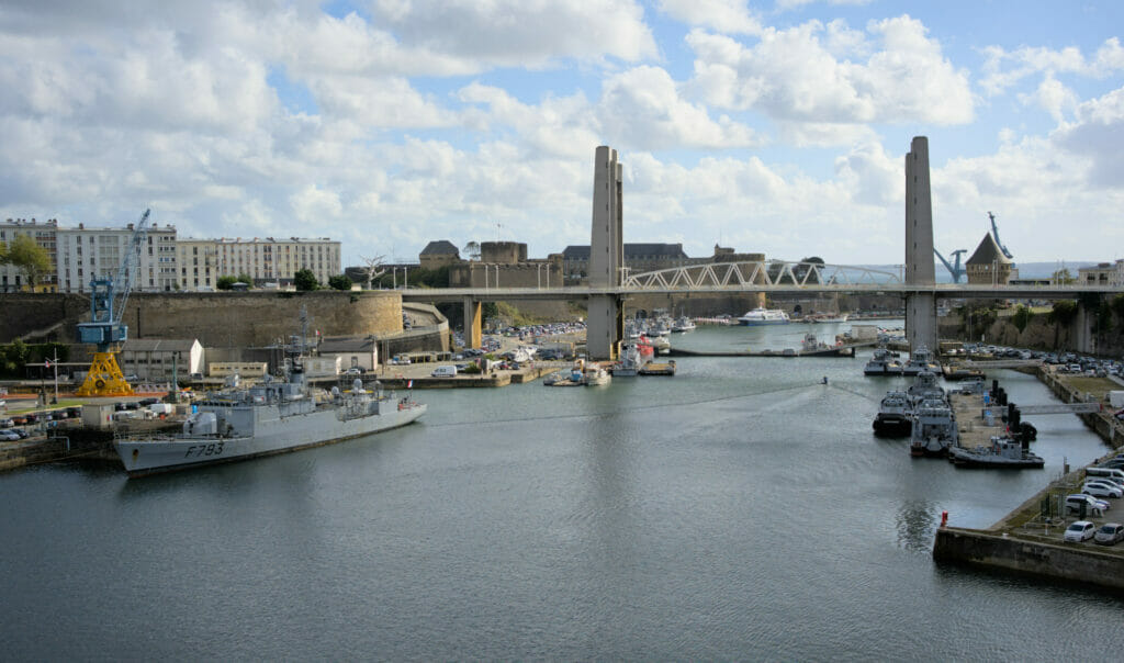
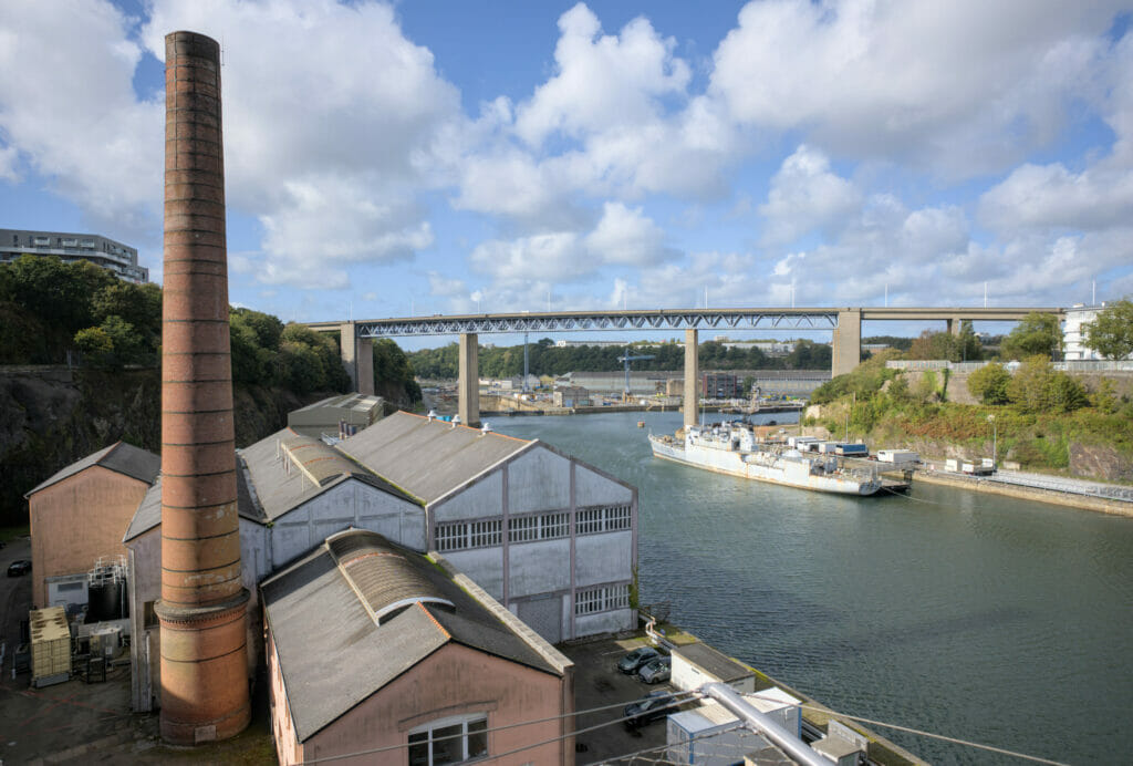
From an aesthetic point of view, the fact that Brest is the second naval base of the French army does not help much if you want my humble opinion. Almost the entire maritime area is militarized and therefore undeveloped from an urban planning point of view.
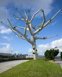
Afterwards, we won’t say that there is nothing to see in Brest! The largest city in the region, Brest is resolutely turned towards the sea, dynamic and in full mutation. New districts are being created and bring with them a rich cultural and artistic offer. A student city, it also has many bars and events.
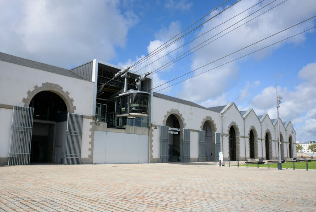
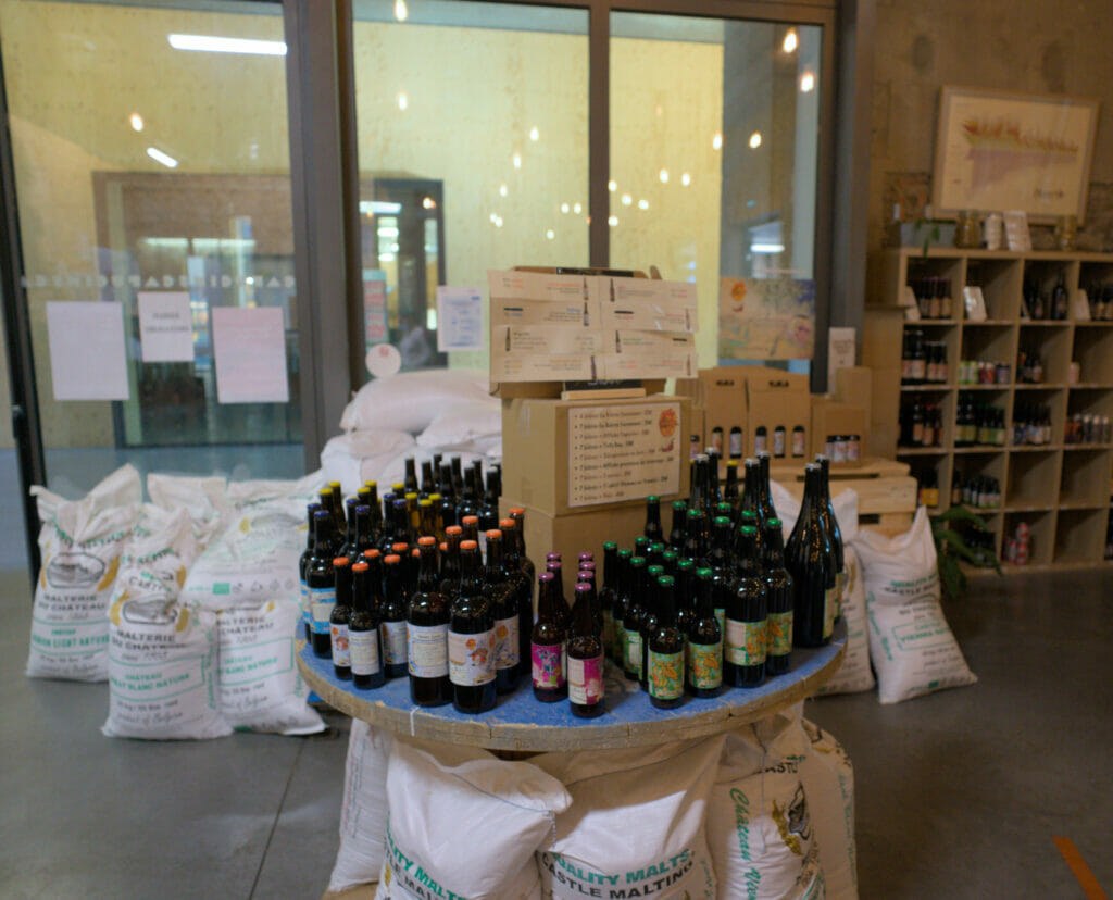
We came there for a day to create an urban hiking itinerary (which you will find in our next book to come). And of course, we still have a soft spot for coastal and natural landscapes, we’ll admit that Brest surprised us in a good way. 😉 The Recouvrance district and more particularly the Capucins workshops for example are really cool! Perched high up in front of the castle and the harbor, the Capucins workshops are the former mechanical workshops of the Brest arsenal. Inaugurated in 2016, this cultural space gathers media library, coworking spaces, start-up incubator, climbing walls, exhibitions, bars & restaurants and even a craft brewery (the Origines brewery). 🙂 A really unique place that we really enjoyed discovering!
Our map of North Finistère – plan your road trip
To finish this article, here is a small interactive map of the places mentioned above. Of course, we are far from having seen everything in North Finistère, but we hope that our small selection will already give you some ideas for your future escapade in Brittany. 😉 Click on the pins to see a picture of the place.
We wish you many beautiful discoveries in Brittany and we’ll see you here soon for the continuation of our 100% breizh adventures. Kenavo!
Pin it
Join the discussion