After 2 nice days in the Rhine valley, we continue our road trip in Graubünden with 2 regions that we were looking forward to: the lower Engadine and the upper Engadine. These two regions are the easternmost Swiss territories and they have the peculiarity to be part of the least populated places of our small country. 🙂 We knew in advance that we would love this nature and hiking paradise.
In all, we spent 3 days between lower Engadin, the Swiss National Park and the high Engadin. Needless to say that it was not enough to discover everything there is to see, but let's just say that we had a first glimpse which gave us ideas for future visits… In this article we propose you a small selection of our favorites during this magnificent stay in the east of Switzerland.
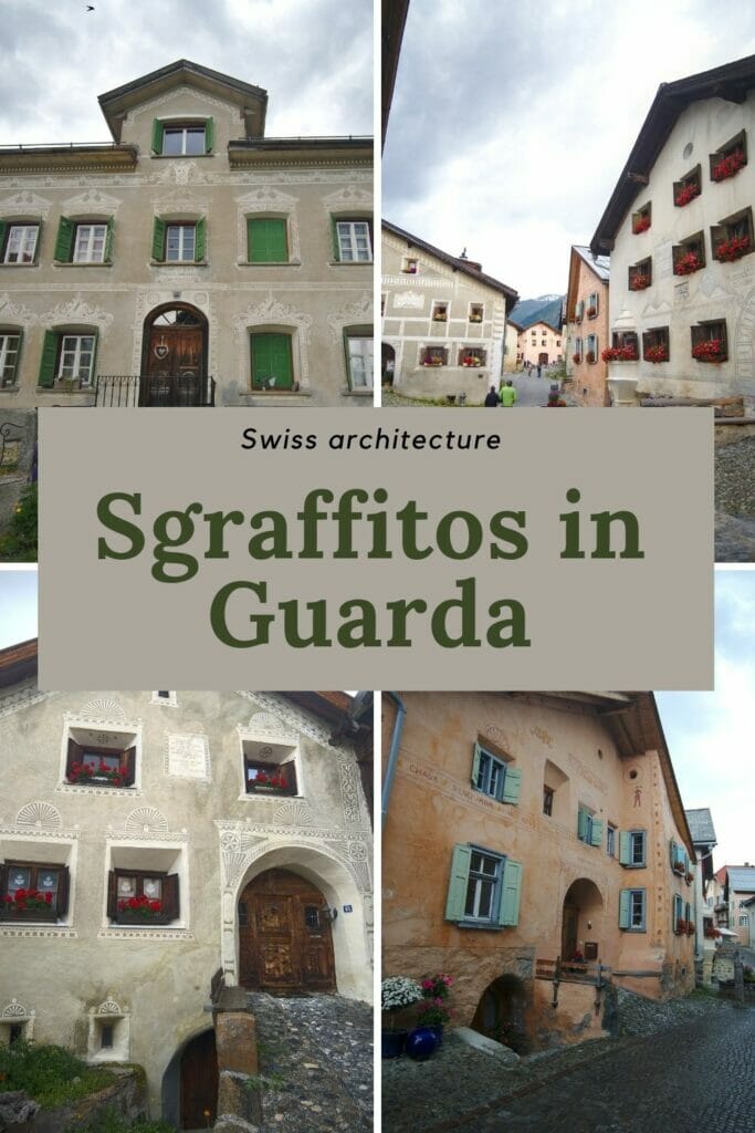
The village of Guarda and its decorated houses
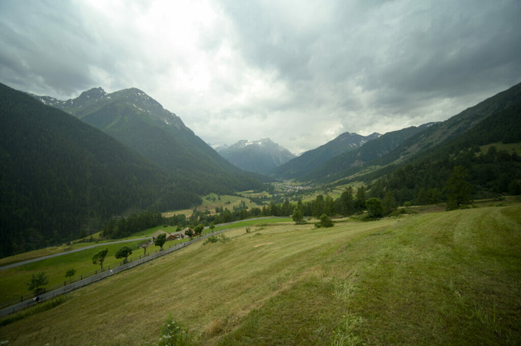
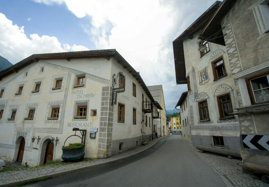
We arrived in Engadin from Davos via the Flüela pass (one of the 5 highest passes in Switzerland at 2383m). Arrived in Susch, we decided to make a small detour through the Inn valley before reaching Zernez. Our idea? To see the typical village of Guarda! This tiny village of barely 150 inhabitants is a real little open-air museum. It is known to be one of the villages where you can see the largest number of houses decorated with sgraffiti (a decoration technique dating back to the renaissance which consists in creating patterns by scratching the plaster of the facades to reveal the colors that are underneath).
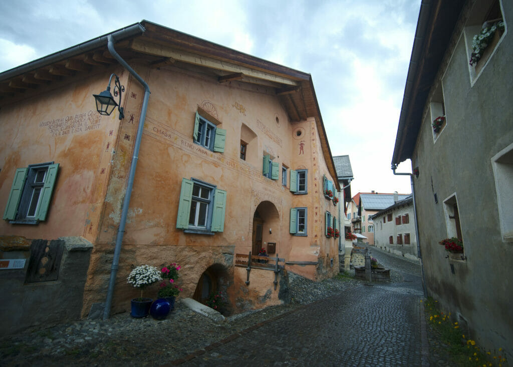
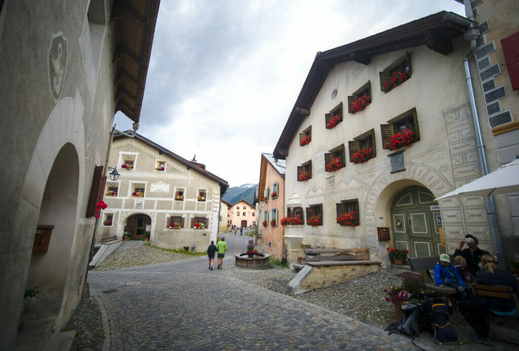
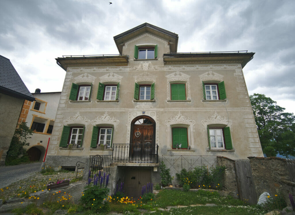
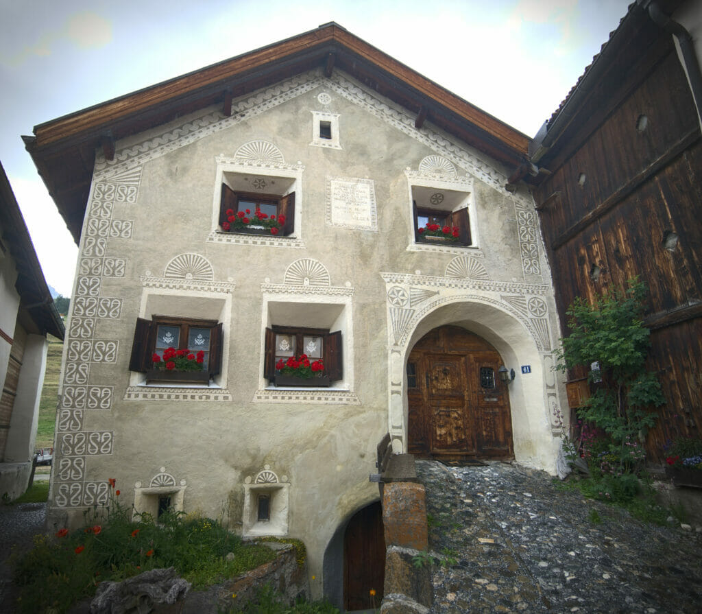
The visit of the village doesn't take very long (about 1h strolling in the different streets) but it's a stop that is really worth it! We had already passed many houses with typical decorations, but it is clearly here that we saw the most beautiful!
The village is accessible by public transport (there is a train station below and a bus goes up to the village). If, like us, you arrive by car, you will have to park in the parking lot which is slightly outside of the village (for a fee). We found it very good that the access is forbidden to vehicles (except for the residents). It allows to have a nice village almost exclusively pedestrian and it avoids the traffic jams in the narrow streets 😉
The Tarasp castle
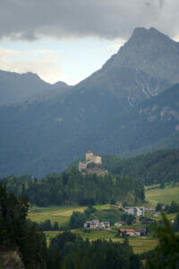
After Guarda we decided to continue our journey a little further down the Inn valley to have a look at the castle of Tarasp. Perched on a hill overlooking the village, this castle dating from the 10th century is a real gem! To visit the castle you have to sign up for a guided tour. Unfortunately we had not done any research beforehand and we had completely missed this information… But it did not matter so much, a walk in the surroundings of the castle was already very nice! We can imagine that with a bit of sunshine, this place must be even more magical.
Note: Id you'd like to visit the castle, you'll find all useful info over here.
This castle has a rather original history as it was built by a family from the Val Venosta before ending up in Austrian hands. It was Napoleon 1st who finally gave this Austrian enclave back to the Helvetic Republic, which entrusted it to the newly created canton of Graubünden.
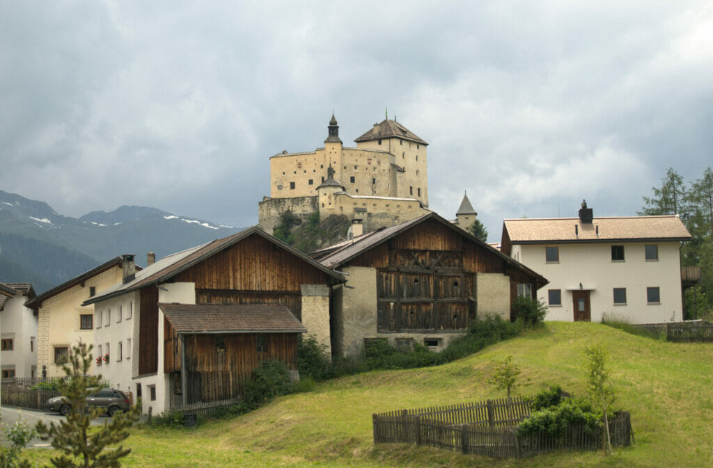
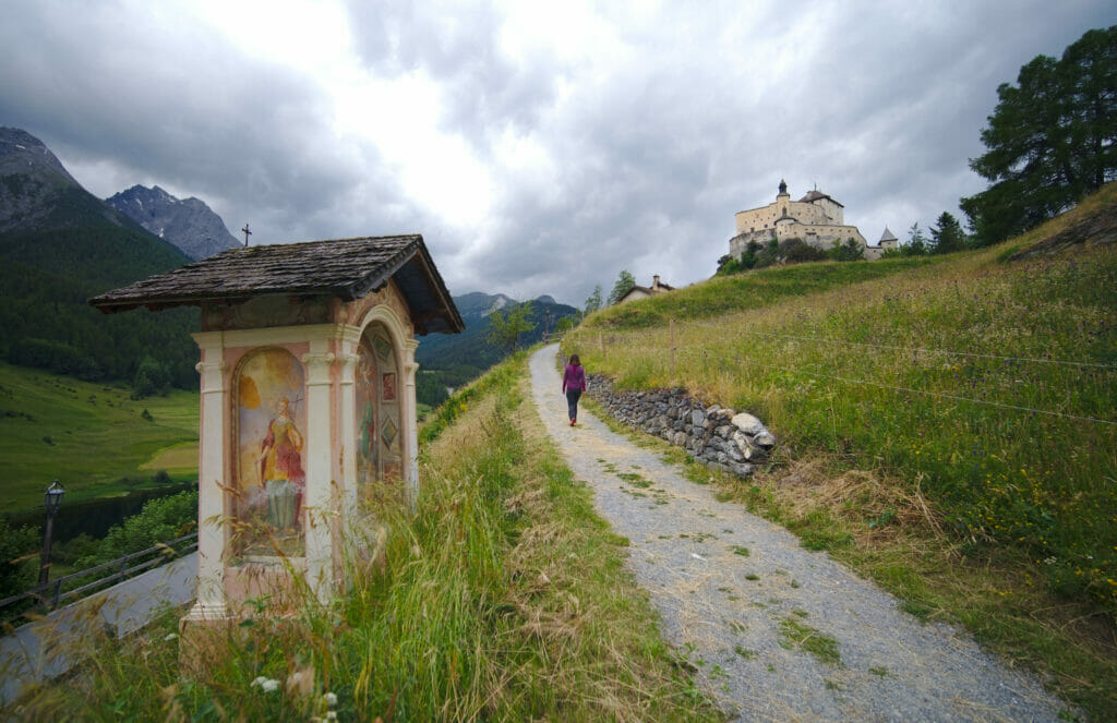
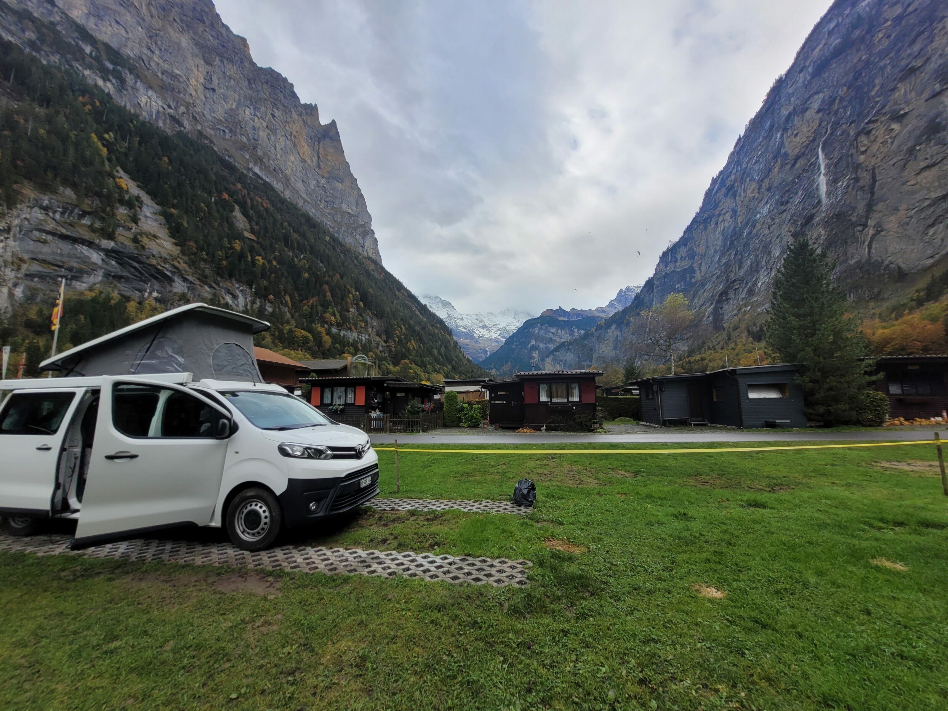
After this last stop in the Inn valley, we took the road again in direction of Zernez where we spent the night in a campsite in anticipation of our program of the next day…
Visit to the Swiss National Park
Description of the park
It is impossible to come to Graubünden and not at least take a look at our unique national park! The Swiss national park is one of the oldest in Europe. The idea of the place was, from the beginning, to leave a space virgin of any presence of the man. In the national park there is a road that crosses it and some parking facilities along the road, but that's about it. On the nearly 178km2, the nature is left totally "to itself". Here are the rules of the park which are the law:
The National Park is a natural reserve in which nature is entirely removed from any human action or influence, and in which all animals and plants are left to develop naturally.
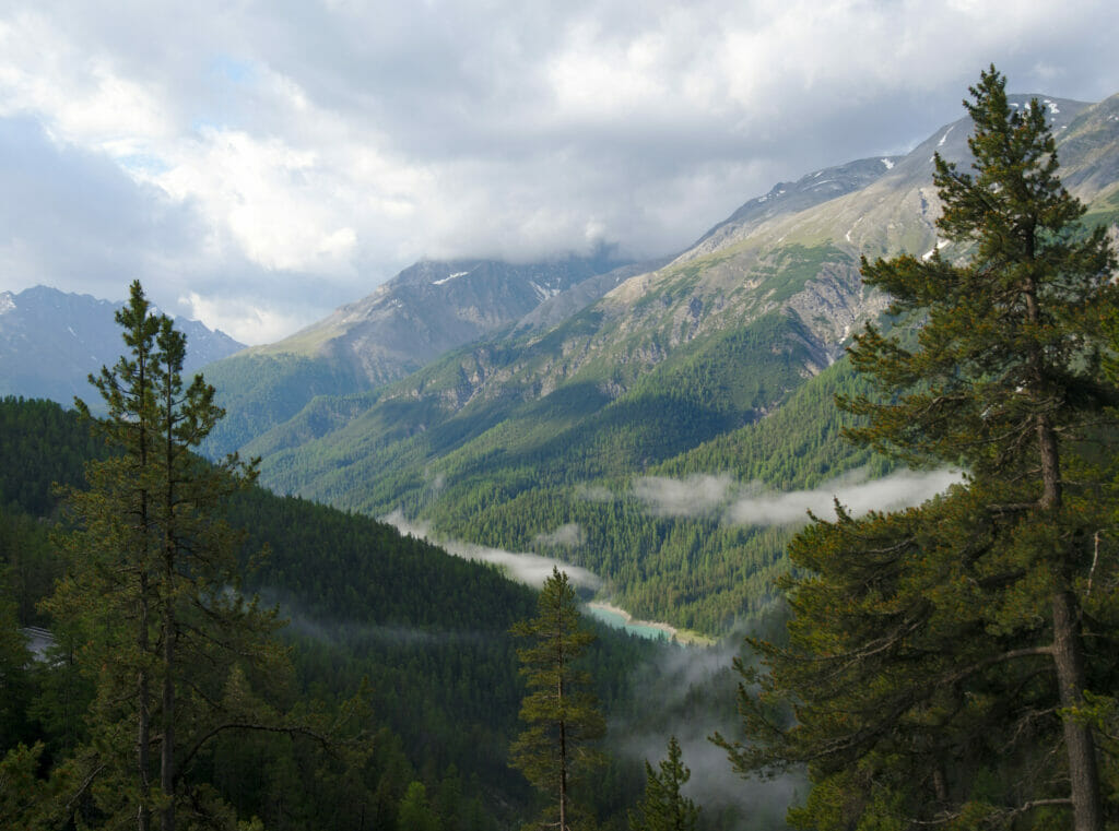
However, humans are welcome to enjoy this little paradise as long as they follow certain rules: it is strictly forbidden to leave the official trails (there are 100 km of marked trails), it is not possible to ride a bicycle, it is forbidden to pick anything and of course it is forbidden to camp or make a fire.
The Swiss National Park is also the only natural place in Switzerland, to our knowledge, where dogs are strictly forbidden (even on a leash). Since we are now traveling with Winchy, this last point limited us a bit in our choice of hiking routes. We are lucky to have the van (and a dog who adoooooores sleeping in it) and we thus took advantage of the fresh temperatures of the morning to plan a hike of max 1:30 am and to let Winchy finish his night on the parking lot.
If you want to go hiking in the Swiss National Park you will find the official list of all trails on this page.
Our hike in the Swiss National Park - Ova Spin lake
By looking at the above itineraries we spotted the trail N°9 which seemed to be a perfect fit in terms of duration and especially it allowed us to go to see a little more closely the lake and its incredible color. So we parked at the parking P3 where we left Dahu and Winchy. 😉 From the first meters on the path that goes down to the level of the lake, we were like immersed in an enchanted forest… It was still quite early and the first rays of sunlight were just starting to shine through the trees while the morning mist was lifting. Pfiouuu beautiful!
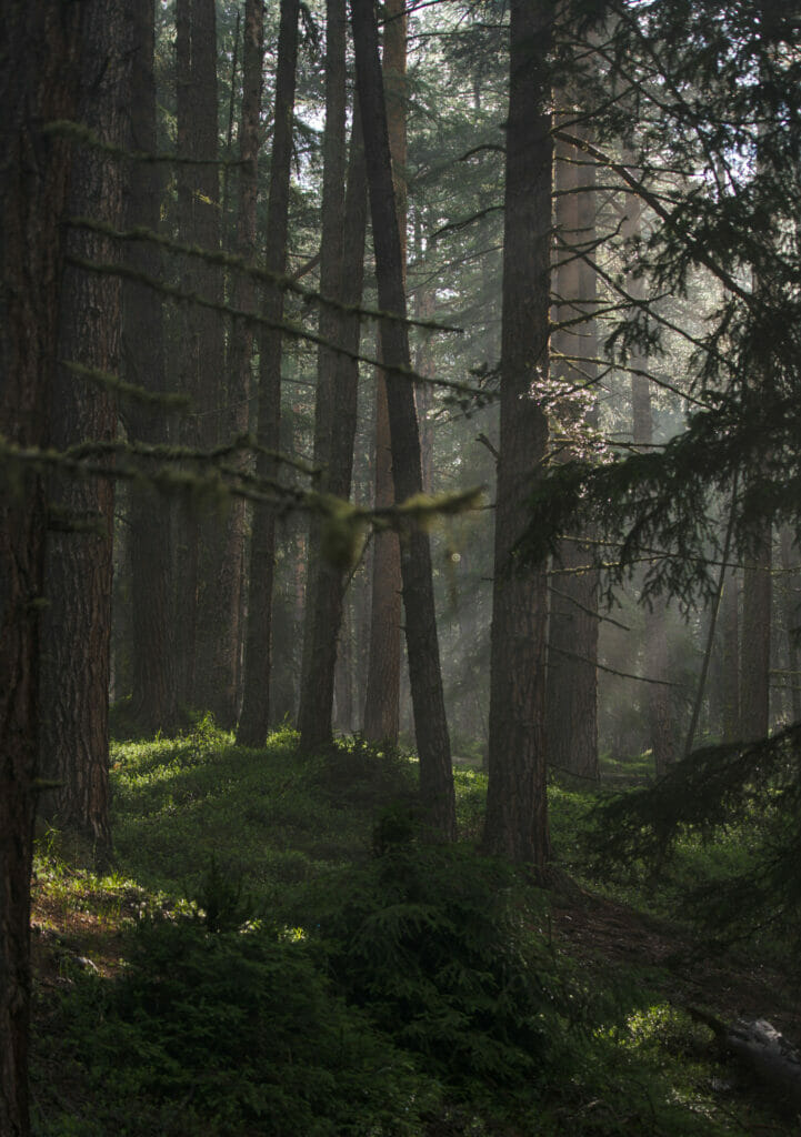
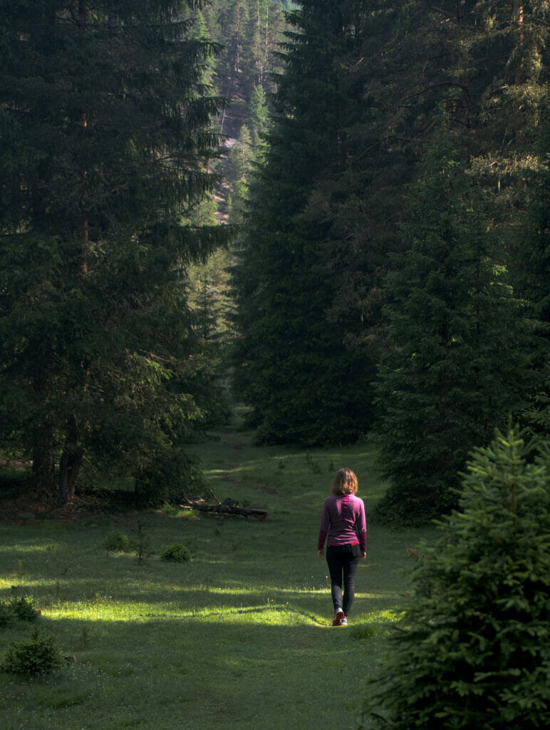
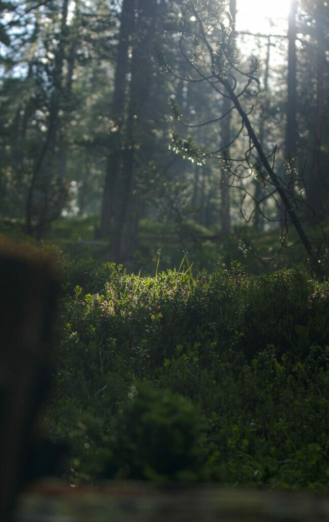
The trail N°9 goes down near the Ova Spin lake without reaching the edge (it is an artificial lake acting as a water tank). As it is forbidden to leave the trails within the national park, we simply too a few breaks in places we could see the lake between the trees before heading back to the road.
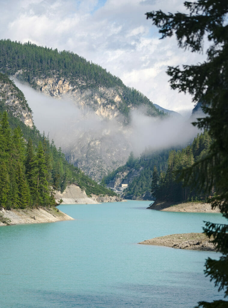
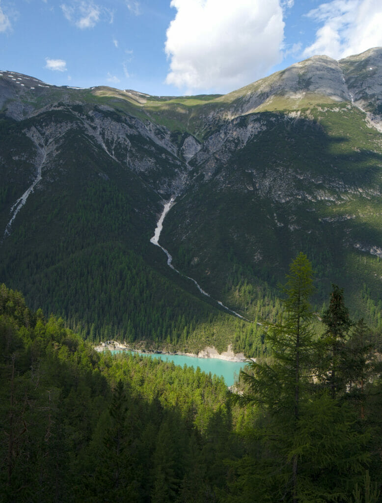
The trail then continues on the other side of the road, but if we can give a little advice: go up about ten meters along the road to have a very nice view of the lake (the photo on the right above)!
Once back on the path we continued a little bit until we arrived at a crossing. At this place a viewpoint was indicated on the left but our van (and the dog) were on the right. Benoit being a big fan of viewpoints (and he also happens not to be afraid of extra kilometers and elevation gains), we decided to go "separate ways". While I went to the right, Benoit continued the walk towards the parking lot P6 "Il Fuorn". While he was hiking the extra 5km I joined Winchy and then drove to the P6 parking lot to wait for him. #Taxiservice 🙂
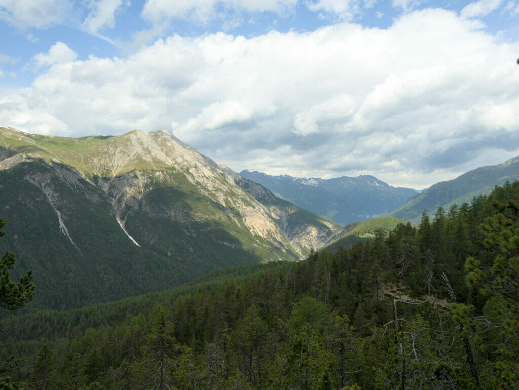
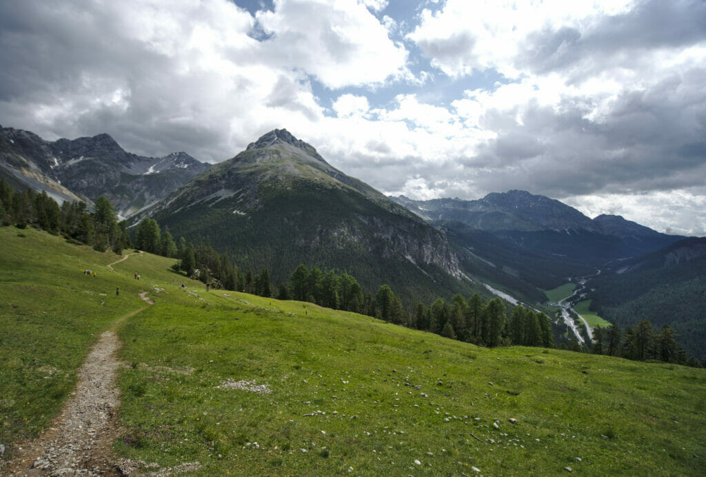
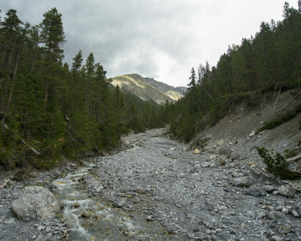
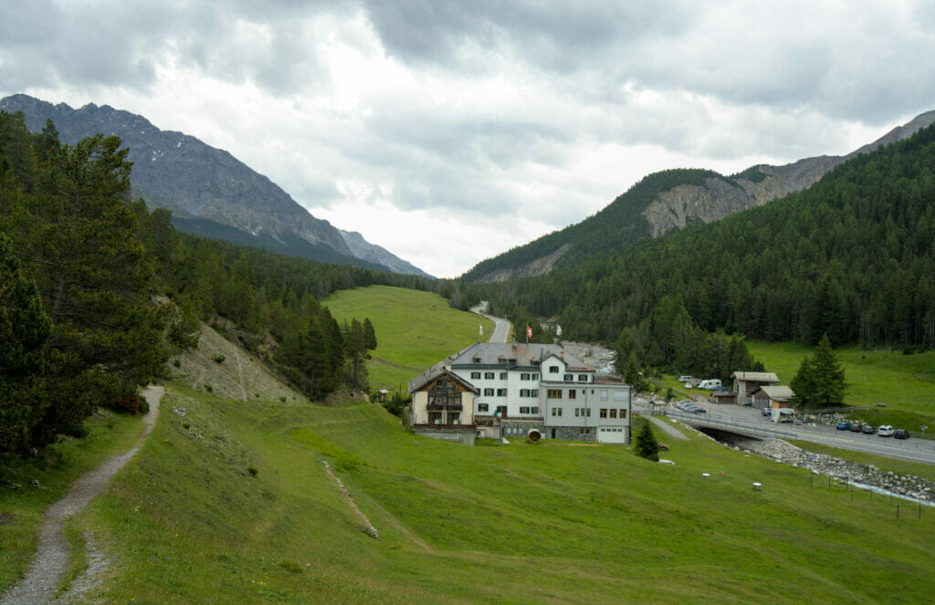
If you come in the area, we recommend you to follow the route Ben did! He really enjoyed the few viewpoints on the "lower" valley of the park during the climb and apparently the viewpoint "Grimmels" is worth the detour because it offers a superb view on the upper part of the valley. Technically speaking, this trail is really easy and does not present any particular difficulty.
Short loop hike to Lake Ova Spin (in red on the map)
- Departure and arrival: Parking P3 of the national park (free)
- Distance: 3,4 km
- Elevation gain: 250m
- Duration: about 1 hour
Longer hike from parking lot P3 to Il Fuorn
- Start: Parking P3
- Finish: Parking P6, il Fuorn
- Distance: 8km
- Elevation gain: about 500m
- Duration: about 2h-3h
- If, unlike Benoit, you don't have a driver waiting for you at the end, you should know that a bus runs between the parking lots. Just remember to check the schedule before your departure because they are not very frequent (about 1 bus per hour).
Maps of the 2 hikes. In red, the one I did and in blue the additional section done by Benoit. To download our route, simply create a free account on AllTrails.
The Val Müstair and the Saint John convent
Once Benoit got back, the weather started to get really bad… We briefly hesitated to turn back but then decided we'd try to do a walk with Winchy after he spent the whole morning in the van… We checked the weather radars and the forecasts seemed to say that the precipitations would be mainly on the west side of the Fuorn pass (Ofen pass being the name in German, which is between the national park and the Müstair valley).
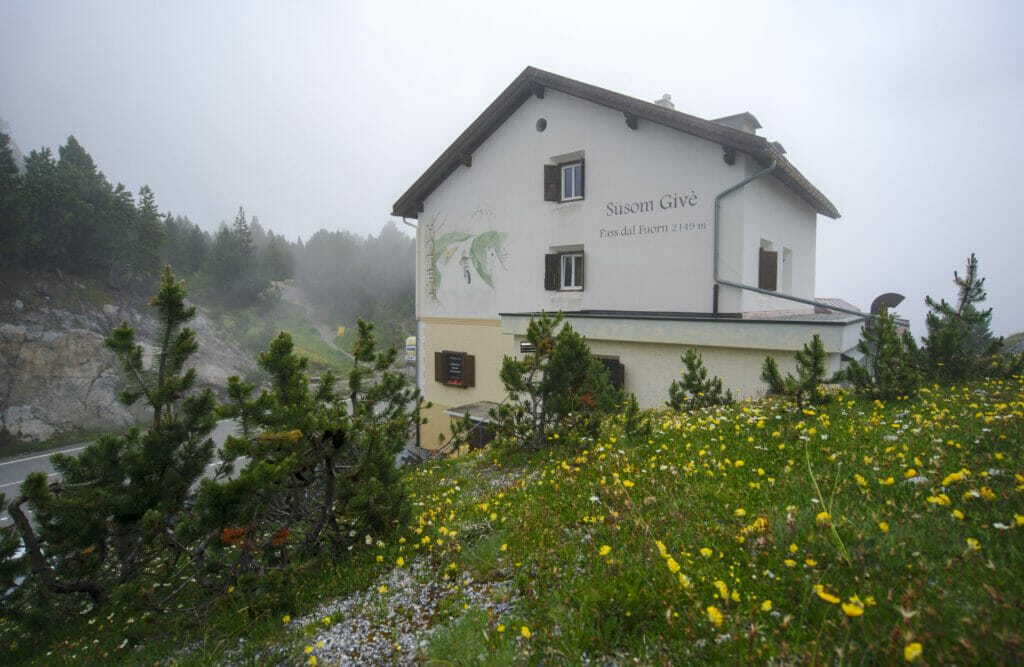
We were rather optimistic about the fact we could maybe avoid the rain. Theoretically, it seems that there is a superb view on the Swiss national park from the pass… Hmm it will be difficult to tell you since at the time of our passage the clouds were indeed as "blocked" there. 😉
The Benedictine Convent of St. John
Our goal for the day was to reach the small village of Müstair which is less than 500m from the Austrian border. Why Müstair? In fact we had noticed online that there is a Benedictine convent there and we wanted to come and see it more closely. Listed as a UNESCO World Heritage Site, the Benedictine Convent of St. John is apparently a very famous place for lovers of religious architecture and art. Built during the 8th century, the church still houses one of the most beautiful (and best preserved) collections of frescoes from the High Middle Ages. It is possible to visit the museum on site or to take a guided tour of the church and the museum.
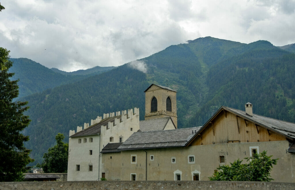
We will be honest, religious art is not especially our big favorite… We like to see the buildings but I'm not sure we like it enough to spend 2 hours visiting the museum… More especially that this day we had already left Winchy quite a lot in the van and we did not want to leave him alone any longer. #PerfectExcuse 😉
But let's be reassured, even without going to see the museum, the place is worth it! The building is indeed very beautiful and the village itself is also super cute!
PS: if you want to see the frescoes without necessarily visiting the museum they offer a virtual visit for free on their website: over here.
The "da Pisch" waterfall
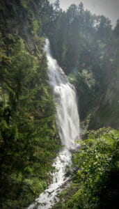
Instead of a cultural visit, we can suggest you a nice walk in the area! 🙂 We went for a little walk with Winchy along the river, and we came across a sign indicating a waterfall. We hadn't spotted it during our research on the area (it seems that the convent is much more famous in the area)… And yet! I think this is the most beautiful waterfall we saw on this road trip!
Clearly the weather was not great, but if you have the opportunity to come to the area in good weather I think you should not be disappointed. 🙂 To help you find your way around I'm putting below the map of the walk we did. All in all, our little loop was 5,4km and it took us about 1 hour.
If we look at the map we can see that it is possible to make a bigger loop by passing above the waterfall and coming back on the track at the bridge. Clearly this option would have been in our plans if it has not started pouring rain when we reached the waterfall. 😉
First stop in the upper Engadin: Diavolezza
After the Val Müstair we headed to the "Upper" Engadin and more precisely to the region of Pontresina (which is just next to St.Moritz). Before telling you more about the gondola and the view on the glacier and the Piz Bernina, I'll just make a quick parenthesis on a really nice deals for the van owners 😉
The Diavolezza pop-up camp
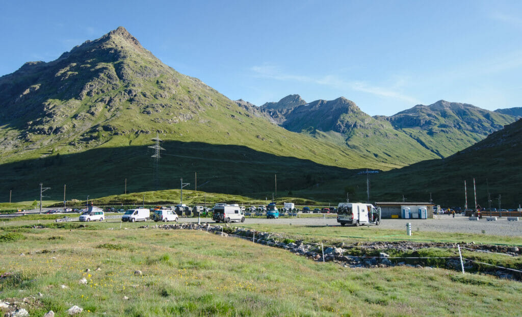
For our 3rd and 4th night in Graubünden we decided to book a spot at the pop-up camp of Diavolezza, a space dedicated to vans at the departure of the cable car of the same name. This choice was motivated on one hand by the "natural" setting of this parking area but also and especially because at the time of our booking they had a special offer which was really nice: A booking on the "Diavolezza 1" spot costs 48 CHF for 2 persons and a van. Really expensive if you consider that it is a gravel place… BUT (and it is a big but), the offer was that by sleeping on the spot it gave the right to a return ticket with the gondola for every person in the booking confirmation. In short, for 48 CHF we got 2 tickets to go up to the Diavolezza (the gondola normally costs 39 CHF per person). Don't ask me how this works out for them but it was truly included in the price.
I don't know if this offer lasts all summer (it is still active on their website as I am writing this), but clearly if you are in the area and plan to go see the glacier it is worth it!
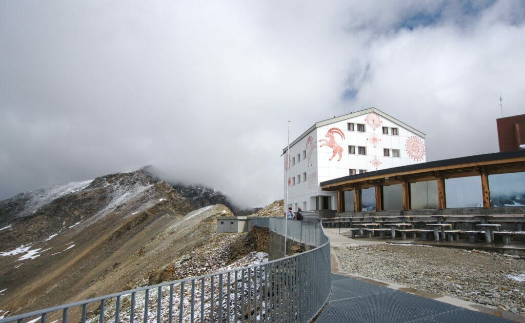
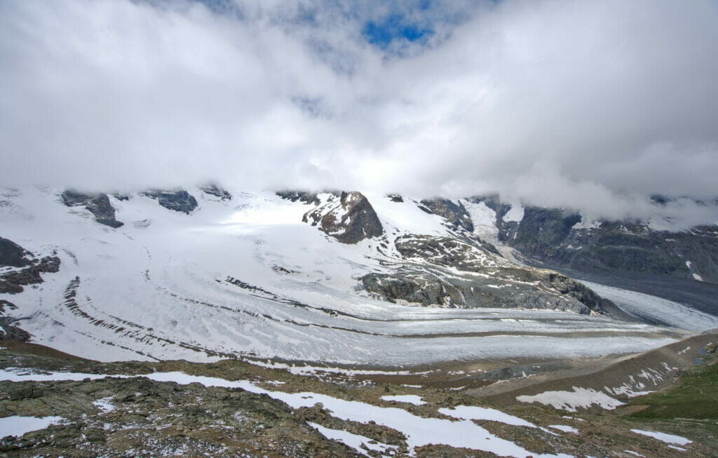
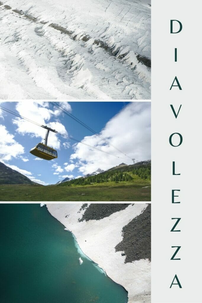
Diavolezza cable car - admire the Piz Bernina and the Morteratsch glacier
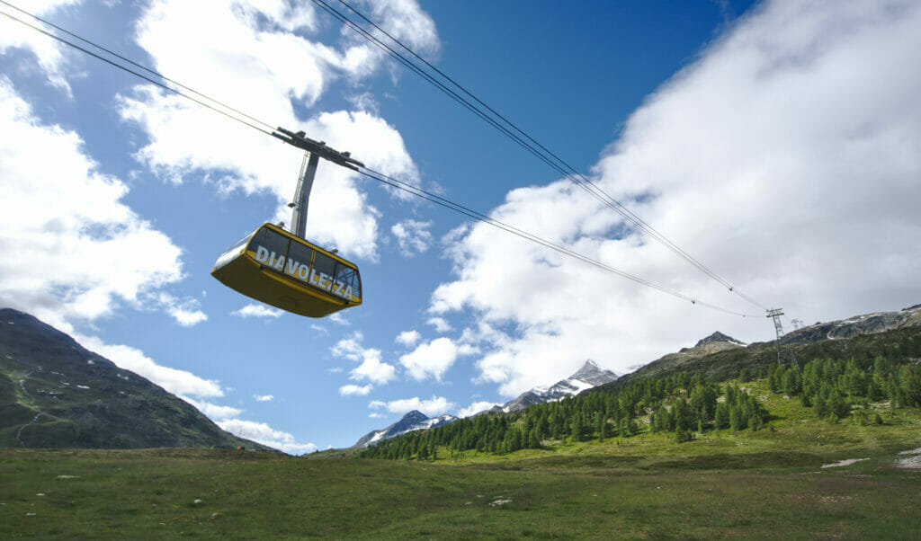
After our night at the pop-up camp we took the gondola to Diavolezza. The weather was not optimal but we were hopeful that we would be able to see the Morterartsch glacier (although we knew it would be difficult to see the summit of Piz Bernina which tends to stay hidden when it is cloudy).
If you ask Benoit, he will surely tell you that "taking a gondola is cheating" ;). I won't lie, in general we tend to avoid cable cars and generally choose to hike up, but on that particular occasion I must admit that it was kind of nice to gain 900m of elevation change in a few minutes. What did we like best? The absolutely spectacular view on the Bernina valley and the view "from above" on the still frozen lakes and the path below.
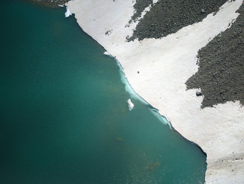
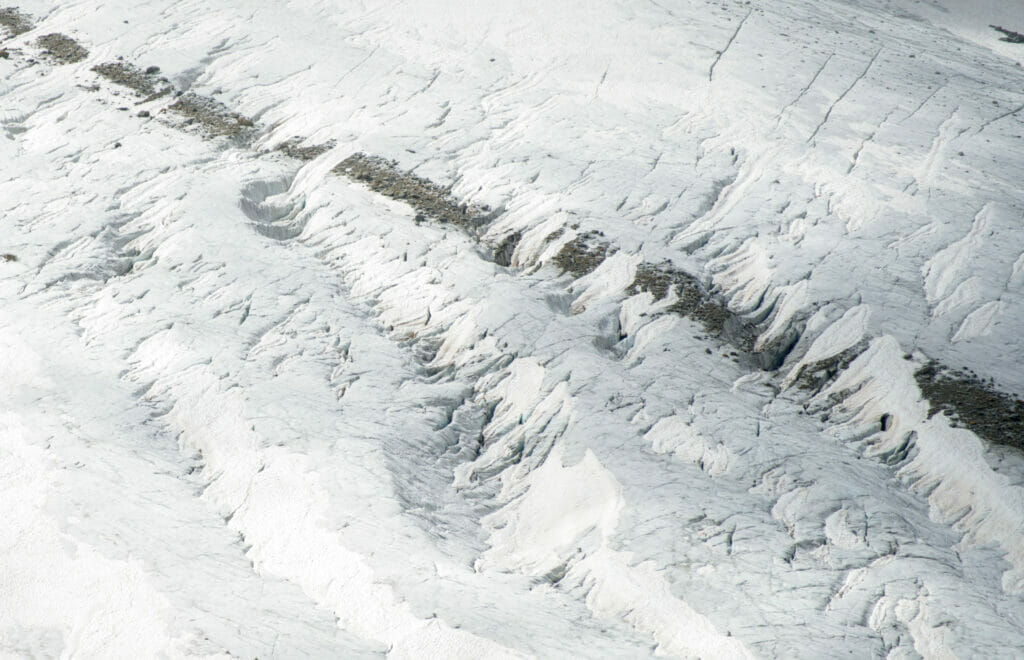
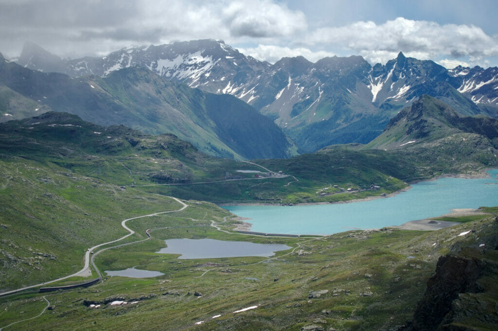
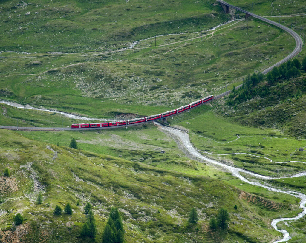
Once at the top we are completely in the clouds and we don't see further than 10 meters… 😉 But hey, after coming all the way up here we were not going to get down immediately. We decided to wait a bit and went for a coffe in the restaurant located in the cable car station. After a short hour of waiting the clouds deigned to rise (a little) and we decided to go for a small tour. No big hike in our program (it is possible that said… several routes starts in front of the station of cable car); we simply enjoyed some clearings to get a glimpse of the glacier.
The Piz Bernina? We have no doubt that it is present in the background but we will never have seen it. 😉
Are you planning to visit Switzerland by train? We recommend you to read our article which will allow you to compare the Swiss travel pass with the half-fare card. The article also includes 3 examples of train routes through Switzerland and the associated budget depending on the ticket you take.
If you prefer not to take a travel pass, but rather take advantage of the Supersaver tickets and day passes, then go to this post for all the details.
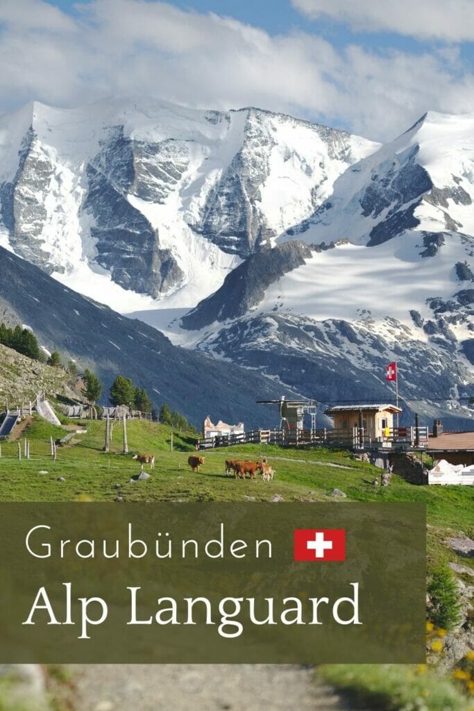
Muottas Muragl - Alp Languard: our most beautiful hike in Graubünden?
Have we saved the best for last? Maybe we did… In any case, we are not ready to forget this magnificent hike and if you come to the Engadin and St.Moritz region, we recommend it without any hesitation!
This hike is not "a secret", in fact it is even a little classic in the area but it is easy to understand why. In fact, very often when you see this route described online it is often a crossing between Muottas Muragl and Alp Languard. Indeed, it is possible to go up by funicular on one side, then to go down by chairlift on the other, following either the panoramic trail or the Segantini trail which passes by the hut of the same name.
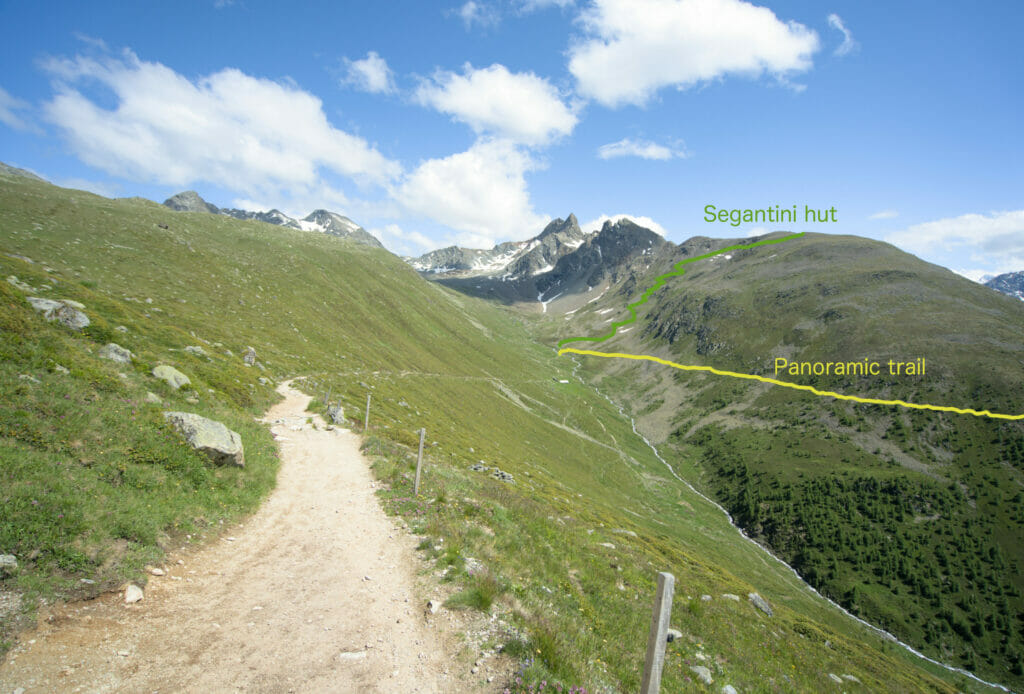
Being in a sporty mood (and also because we were not particularly thrilled with the idea of making Winchy sit still on a chairlift) we decided to make a loop by passing by these two itineraries: the Segantini on the way out and the panoramic path on the way back. 😉
The Segantini trail
If you look at the picture above it's pretty clear which of the two routes has more elevation gain 😉 Not knowing exactly how long the hike would take us, we decided to start with the latter in order to have an easier option to "pick up the pace on the flatter part on the way back". (You'll see it later but this choice turned out to be highly strategic).
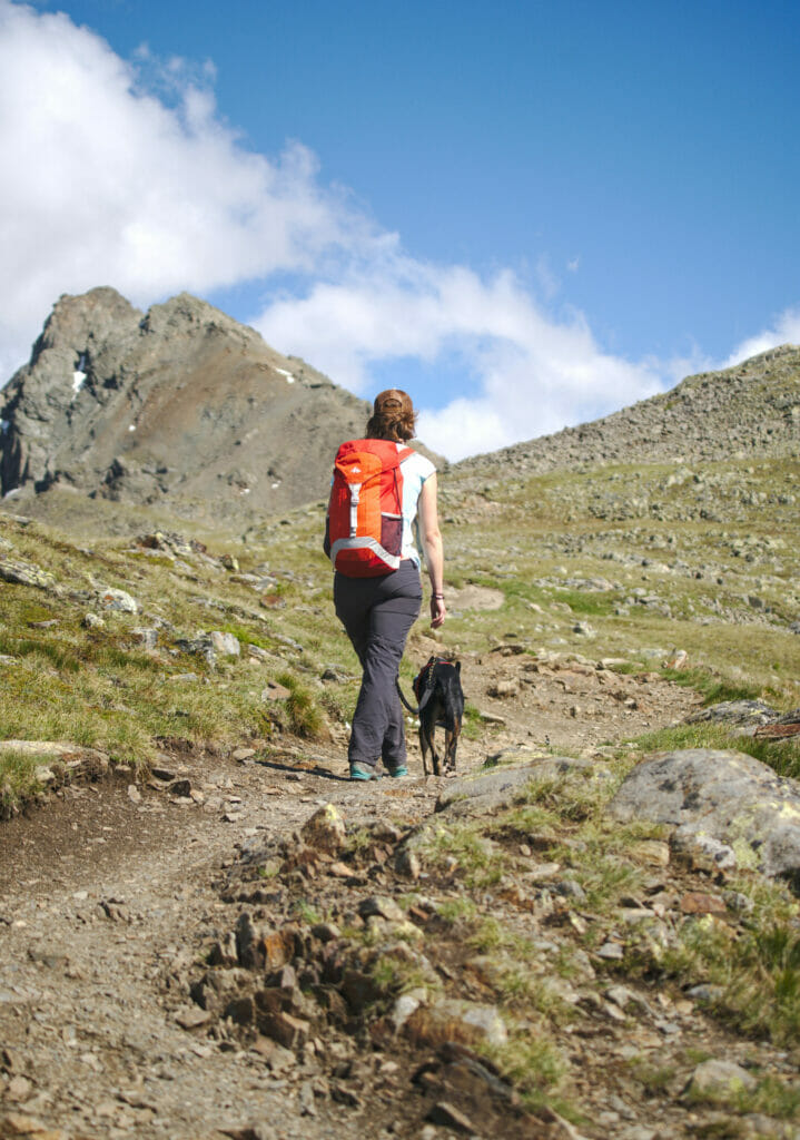
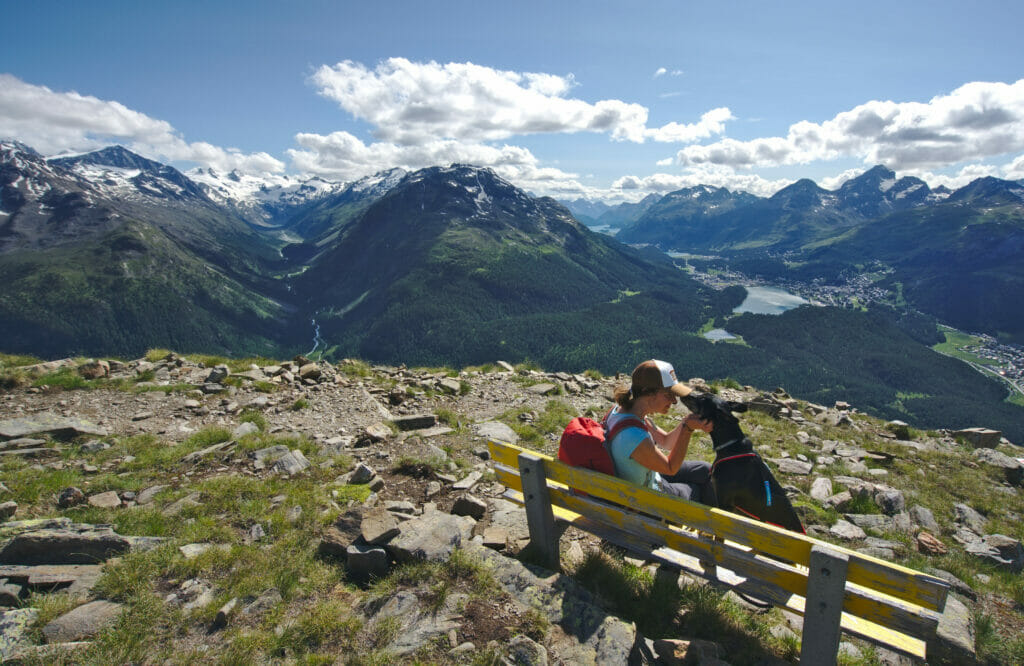
The first section to the river is the same for both trails, then we turned left to go up towards the beautiful Segantini hut. The path is quite steep but it is really perfectly maintained and very regular. There is really no particular difficulty to report on this climb… You just have to watch where you put your feet and not let yourself be distracted by the breathtaking view that you have during the whole climb.
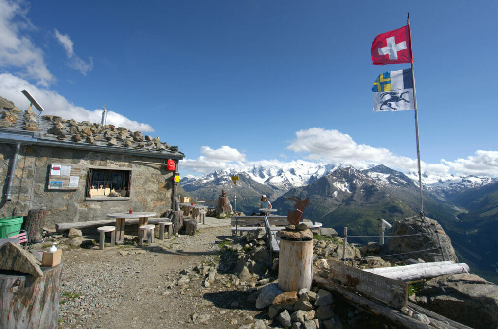
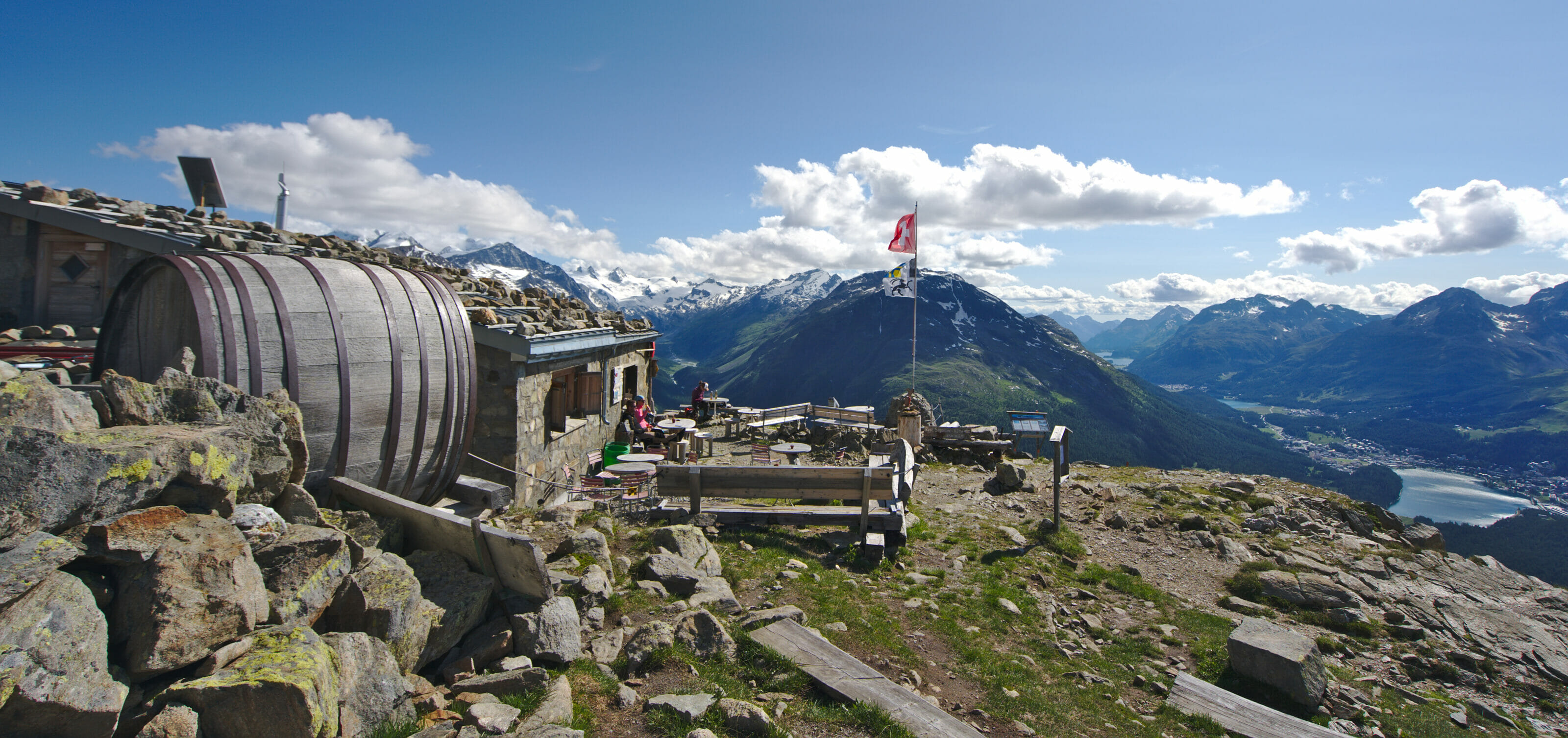
This hut is not a place where you can sleep, but rather a high altitude refreshment bar where you can have a drink on sunny days (they are closed when the weather is bad). If you have the courage to come up here, we recommend their terrace VERY highly! It's probably one of the most beautiful views you can have in the area.
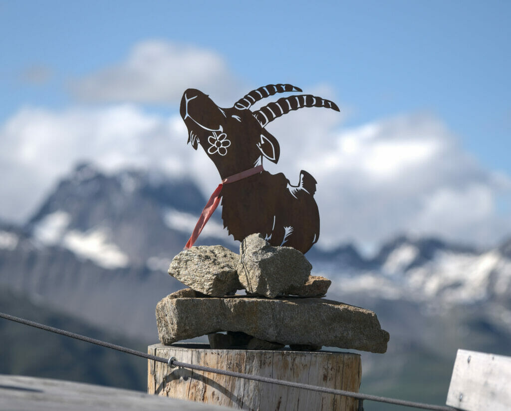
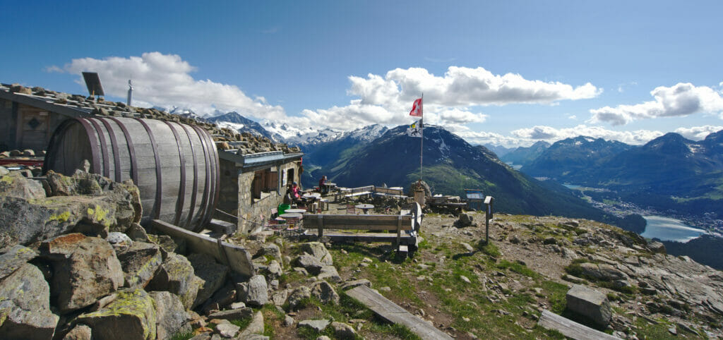
From the moment we reach the hut, we are at the highest point of our hike and we "only" have to go down towards Alp Languard. This section is also incredible. Some passages are equipped with a handrail and there is a little more impression of "void", but it remains relative. I'm personally not very comfortable with heights, but I had zero issues on this hike!
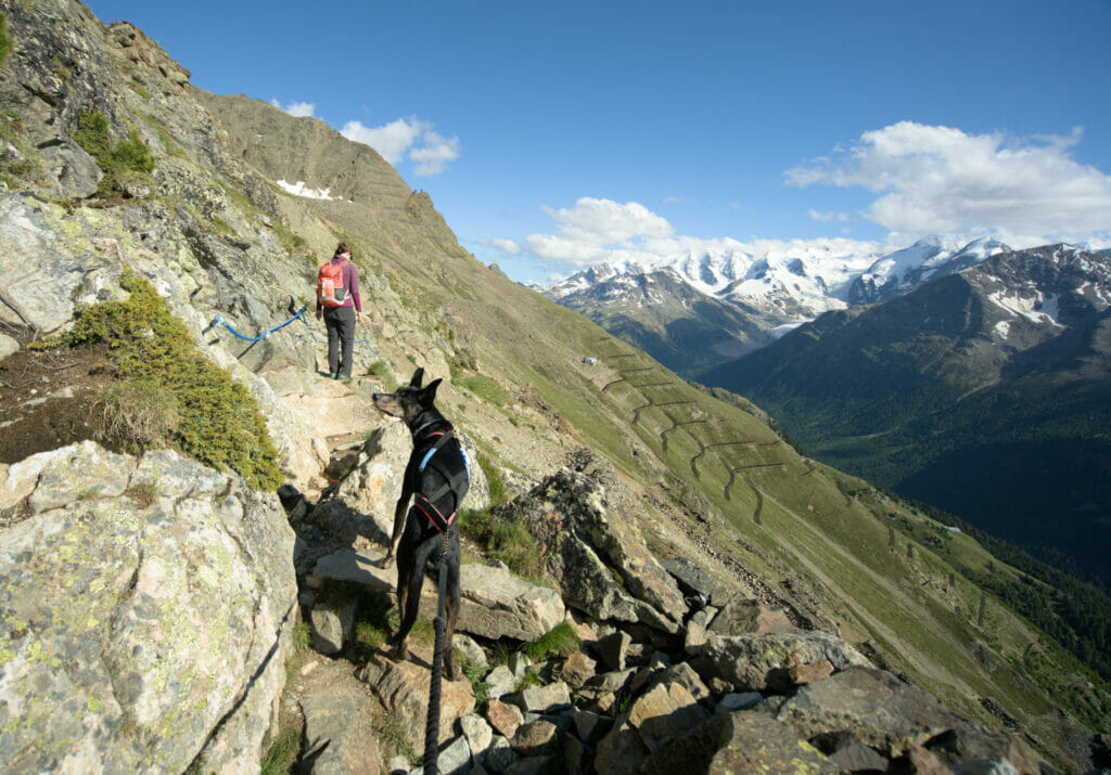
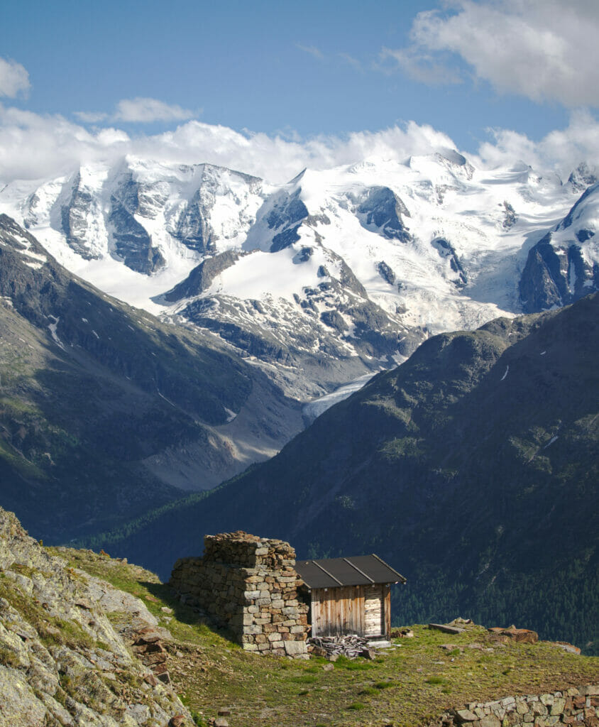
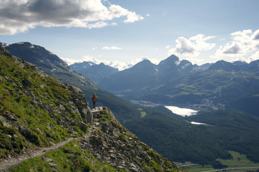
If you come to this area we strongly advise you to keep your eyes (and ears) wide open! Between the Segantini hut and Alp Languard we saw an impressive number of marmots and ibexes. It was really magical…
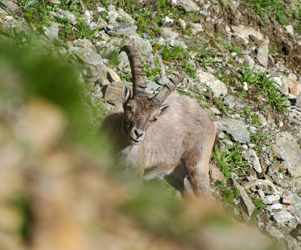
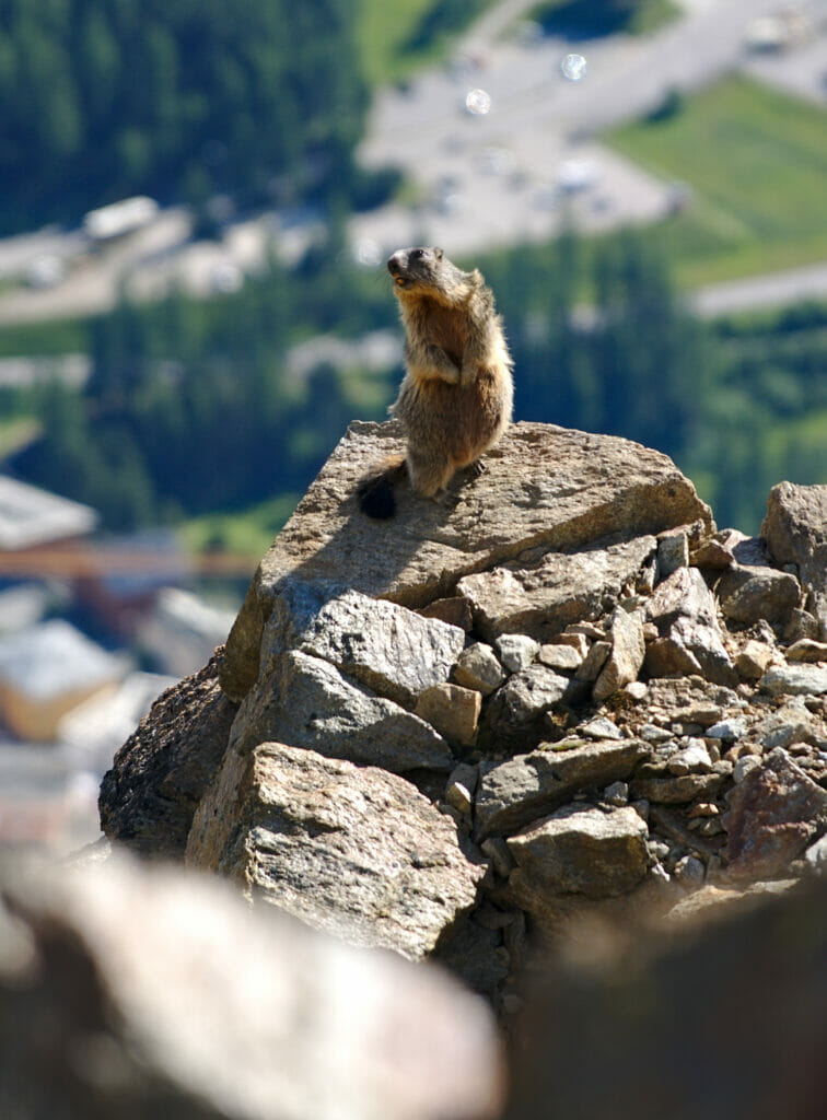
Note: Being a bit short on time, we opted for the path that goes directly down to Alp Languard. But you should know that it is possible to extend the "high" part by going to the Piz Languard. However, this second section is still a bit more challenging based on what we could see.
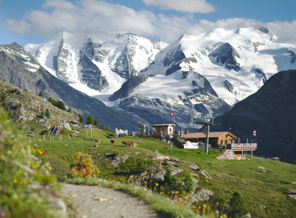
The panoramic trail above Pontresina
From Alp Languard we turned back, this time following the panoramic trail. This route is much easier. Less elevation change, no exposed passage but still with a very nice view on the valley below. As it was getting late, we also had the nice surprise to see many animals coming out (we were clearly the last hikers on the trail) 😉 Marmots, ibexes and also some babies.
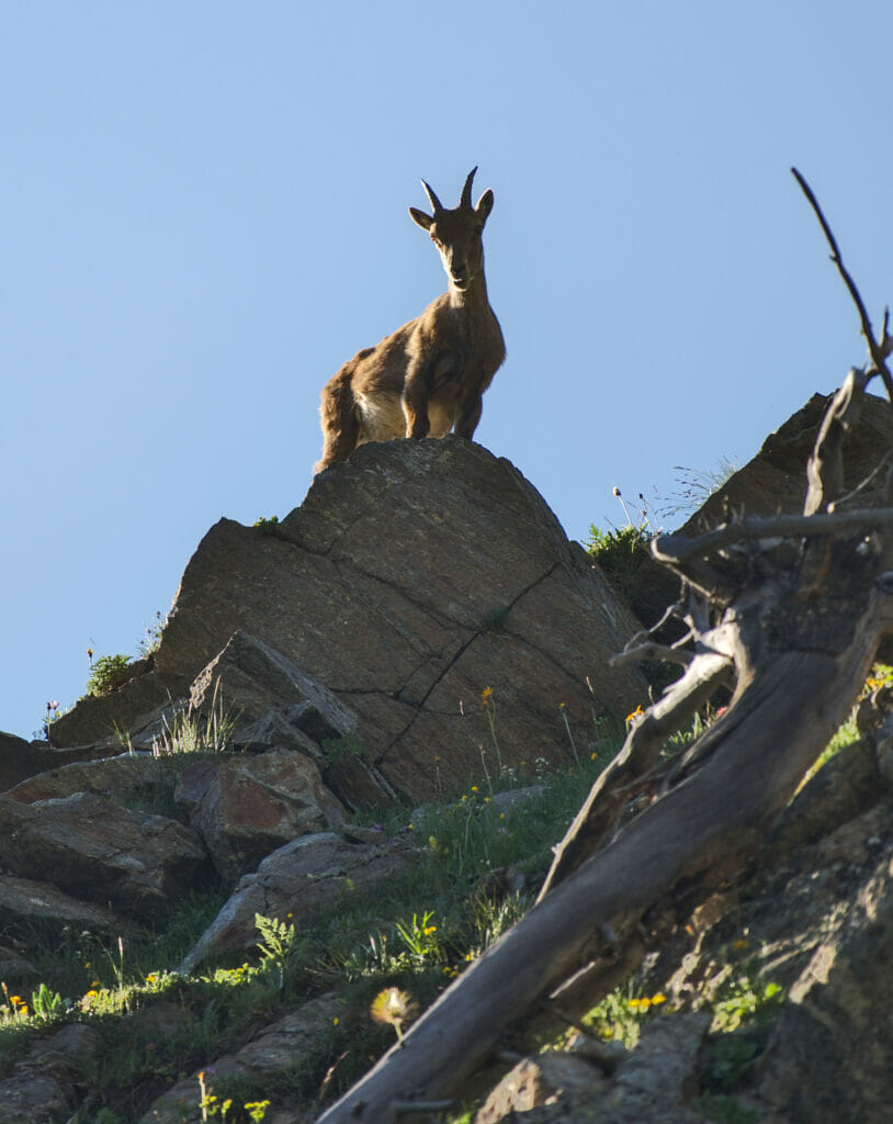
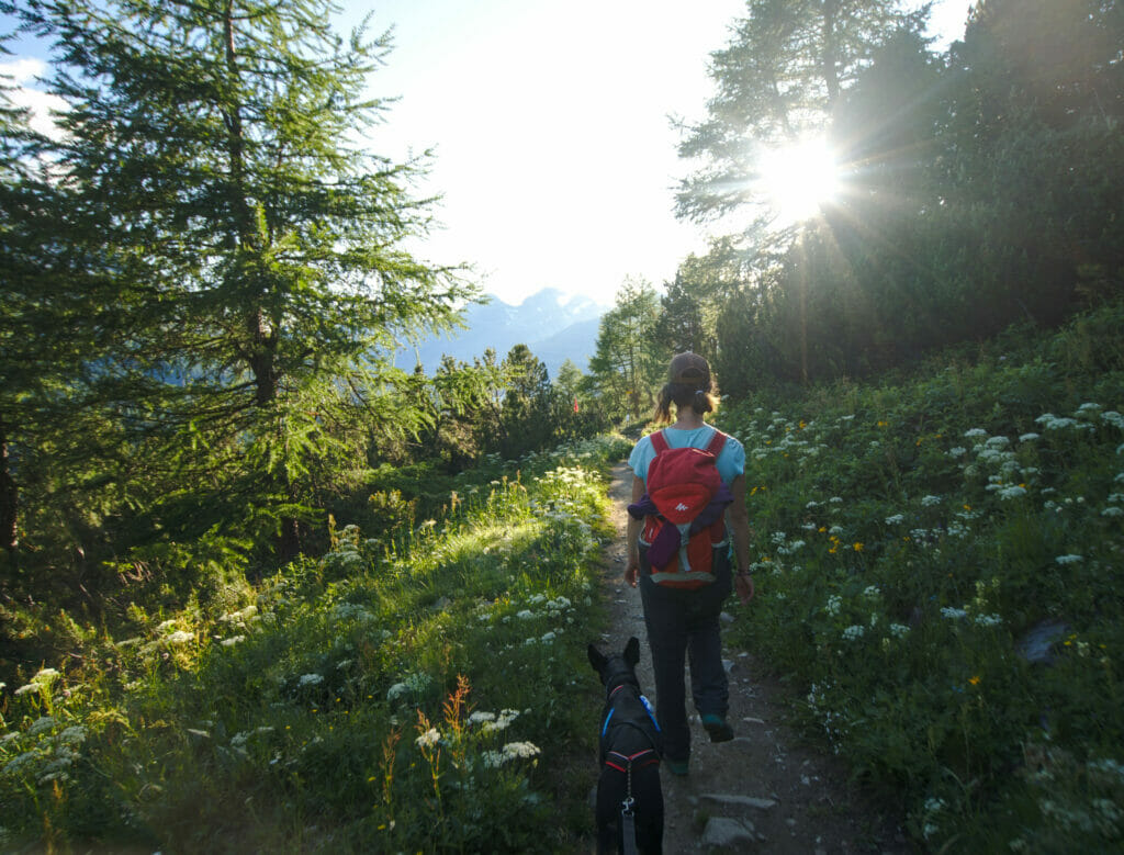
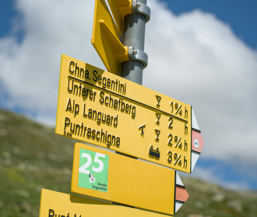
The return on this panoramic trail went very well and we had lost all track of time… With the observation of ibexes, the marmots and the landscapes we completely "lost track". When we arrived at the place called "Untere Schafberg" we took a short break. At this moment we were under a hiking sign which indicated us that we had 1h45 of hiking time left to Muottas Muragl. We look at our phone and ohhh surprise, the sun sets in 1 hour! Hmmm… Personally I was already resigned and I said to myself that we would watch the sunset from the trail. But that was not knowing my dear and sweet husband! He closed his bag, took Winchy's leash and set off with a (very) determined pace. Personally I am a good hiker, but trail running is not really my thing! But well, I didn't really have time to express my opinion on that matter… haha
As a compromise, I took Winchy back in "canicross" mode (meaning that he had his traction harness on and that I had attached it to my waist). He was my savior on this "run" by giving me a precious "extra help" to arrive just in time for the sunset at Muottas Muragl.
Fortunately we had kept the "flatter" route for the return trip! 😉
Sunset at Muottas Muragl
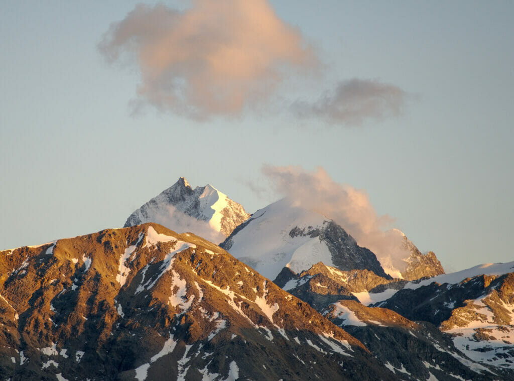
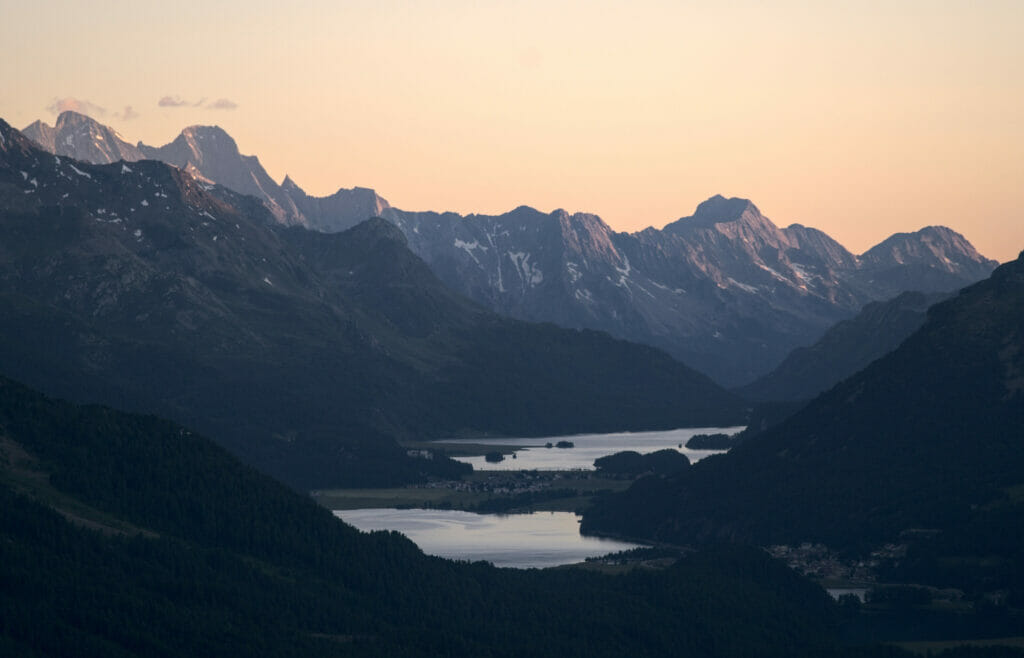
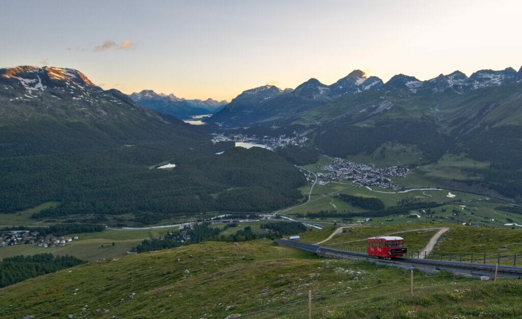
We are not going to hide it to you, this evening our plans were a little different. In fact it was our wedding anniversary that day and we had spotted that there was a restaurant at the top of Muottas Muragl. So we thought we could do the hike and then finish with a good meal at sunset.
At the top there is a hotel which is called the "Romantik" which has a restaurant (a really nice one) and a self-service area. At our arrival the self-service part was already closed and we decided we'd go to the fancier restaurant. It was our wedding anniversary after all 😉 The problem was that it was very cold that day and they had already closed the terrace. Inside, the white tablecloths were on and all the guests we saw were looking pretty fancy (or at least they all looked showered and dressed with clean clothes). Clearly there is no need to come in a tuxedo, but let's just say that with our sweaty hiker look and a muddy dog we decided this was maybe not optimal. Clearly, this restaurant looks amazing and we would have clearly gone there if we had sweated a little less (and maybe had a cleaner dog too) or if the weather had allowed us to sit on the terrace. 😉

We simply enjoyed the beautiful lights of the end of the day before going back down by funicular to eat pastas in the van.
- Start and finish of the hike: Muottas Muragl
- Transportation: The funicular runs every 30 minutes. The round trip costs 35 CHF per person (small dogs (< 30 cm) are free of charge. Larger dogs like Winchy pay the child rate of CHF 11.9 for a round trip)
- Distance: 13,7km
- Elevation gain: 750m
- Duration: Count between 5h and 6h (it took us 4h30 but we clearly walked quite fast at the end) 😉
- Note: A chairlift goes down from Alp Languard. If you have less time or simply want to do a shorter version it is possible to do only one of the two routes. The Segantini trail is more "panoramic" than the path called the panoramic if you want our humble opinion (if we had to choose we would clearly take this one) but also the one with the most difference in altitude and with more exposed passages. In terms of distance they are very similar (about 7km one way)
The map of the hike Muottas Muragl - Alp Languard:
That's it for our first little stay in the Engadin. We left this region totally charmed and no doubt we will come back! We still have a lot of ideas of hikes and things to discover in the region.
Our ideas for our next stay?
- the hike up to the Boval hut to have a "front" view on the glacier
- A hike to the end of the Roseg Valley
- From Alp Languard to Paradis Hütte
- ...
By the way, if you know the Engadin and have any suggestions, we'd love to hear from you in the comments! 🙂
See you soon for a 4th article on Graubünden where we will talk to you this time about the Davos region, the Ela park and the magnificent Viamala gorges.
Pin it
Note: This road trip was organized in collaboration with Graubünden Tourism. We warmly thank Thalia for her trust and her precious tips. During this trip, we were given total freedom to organize / choose our itinerary as well as our accommodations and activities. Moreover, nobody knew that we had a travel blog.


Join the discussion