As promised, we start sharing detailed blog posts of our road trip in Graubünden starting with the first 2 days which took us from the source of the Rhine river near the Oberalp pass to the vineyards of Landquart, passing through the famous Rhine gorges near Flims.
As we already shared with some of you on social media, with Ticino, the canton of Graubünden was clearly the region of Switzerland that we knew the least until now. Yet, paradoxically, it is also one of the regions that has the greatest appeal to us: endless hiking possibilities (11'000 kms of hiking trails), a preserved nature (the Swiss National Park), a diversity of incredible landscapes (lakes, mountains, glaciers, gorges, the red trains of the Rhaetian Railway…) and even some excellent pinot noir 😉 … In short, we were really looking forward to this road trip and we have clearly not been disappointed!
- Arrival via the winding Oberalp mountain pass (Oberalppass)
- Hike to Lake Toma, the source of the Rhine
- Convent and Abbey of Disentis
- Flims: hike from the Caumasee to the Crestasee via the Il Spir viewpoint
- At the heart of the Rhine Gorge: hiking from Versam to Valendas
- The beautiful Safien valley (Safiental)
- Chur: capital city of the Graubünden canton
- Discovering the vineyards and the Pinot Noir of Graubünden
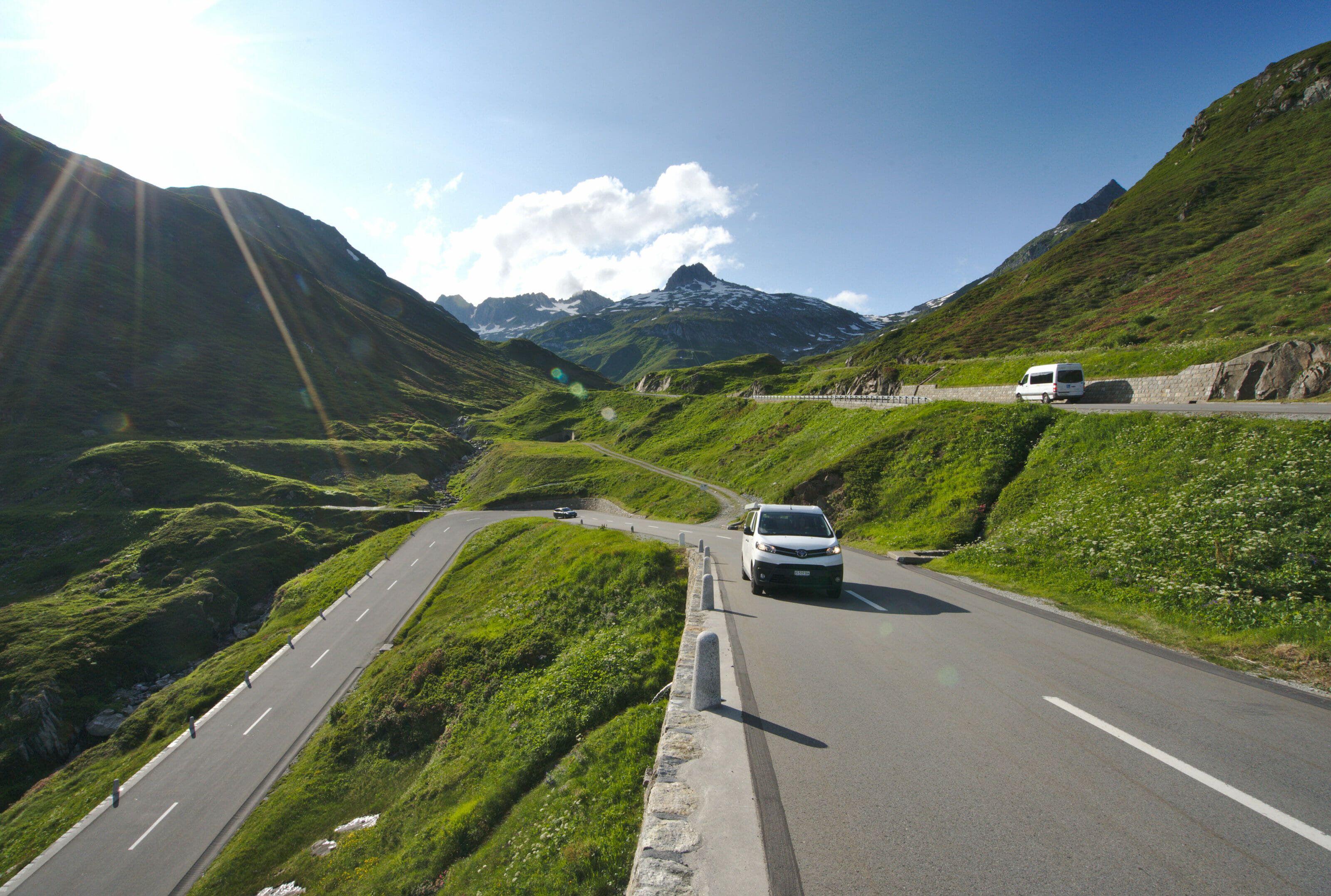
Arrival via the winding Oberalp mountain pass (Oberalppass)
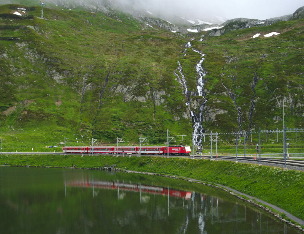
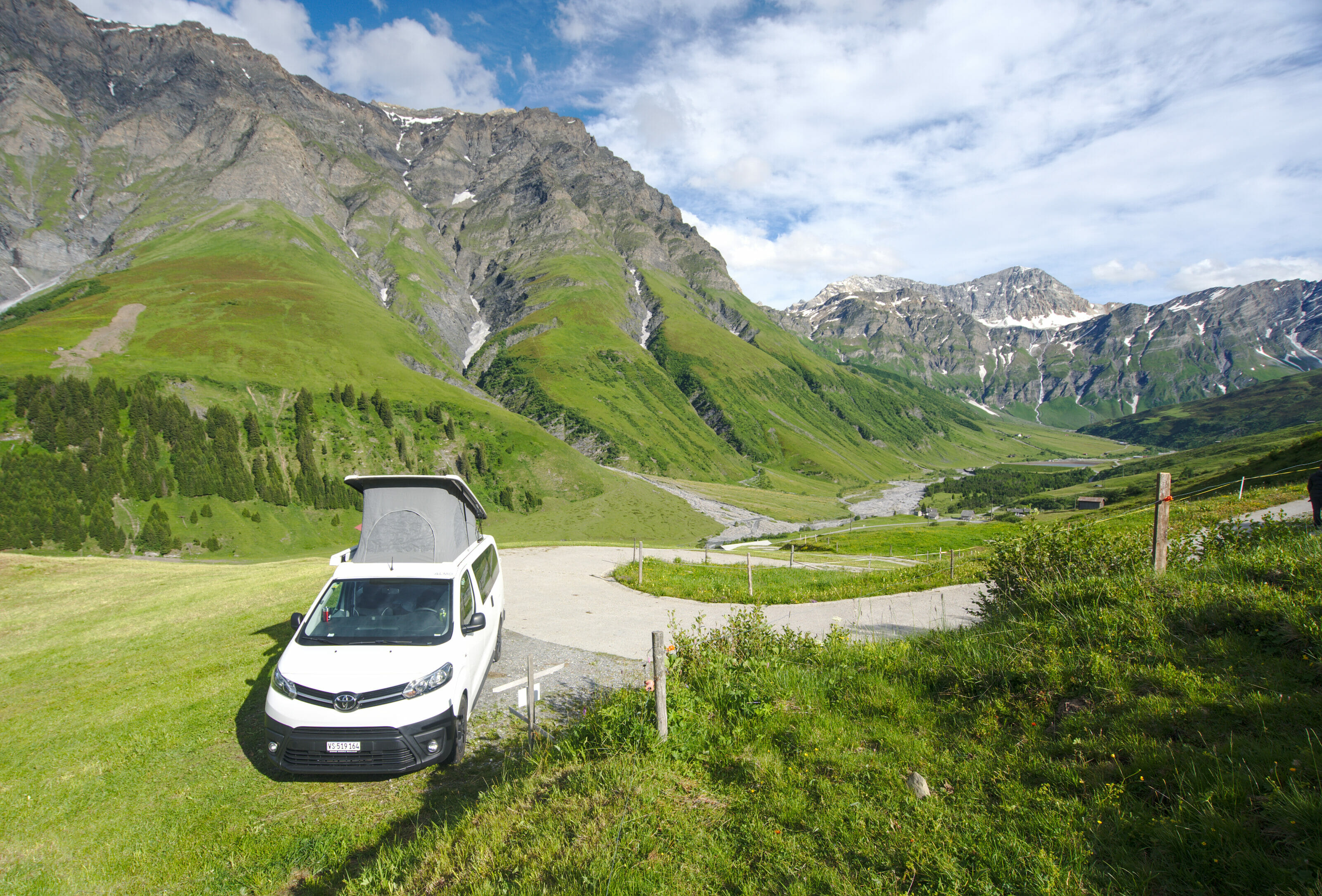
Arriving from the Valais, it is by the Oberalp pass (Oberalppass) at 2044m of altitude that we enter the canton of Graubünden. Even if the weather was not exactly perfect for this first day of road trip, we got in the mood right away. Hardly arrived at the pass that one of the pretty red trains of the Rhaetian railroads passes along the Oberalp lake, just in front of a waterfall (1st postcard of the Graubünden 😉 ).
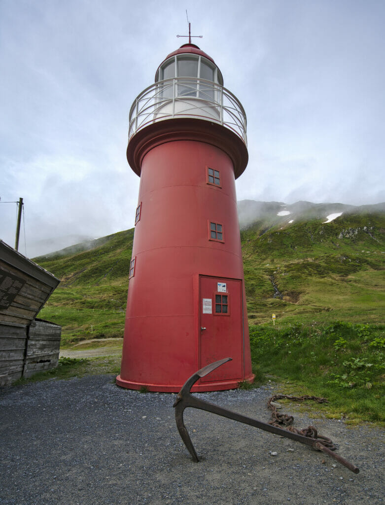
At the Oberalppass, we were also quite intrigued by the fact that there is a fully functional lighthouse up there… Yes yes, a lighthouse in the heart of the Alps! After some research, the reason is actually quite simple. This lighthouse is actually a replica of a lighthouse found in the Netherlands, in the Rhine delta. And since the Oberalp Pass is very close to the source of the Rhine, this lighthouse is in fact a symbol that links the source and the delta of the Rhine.
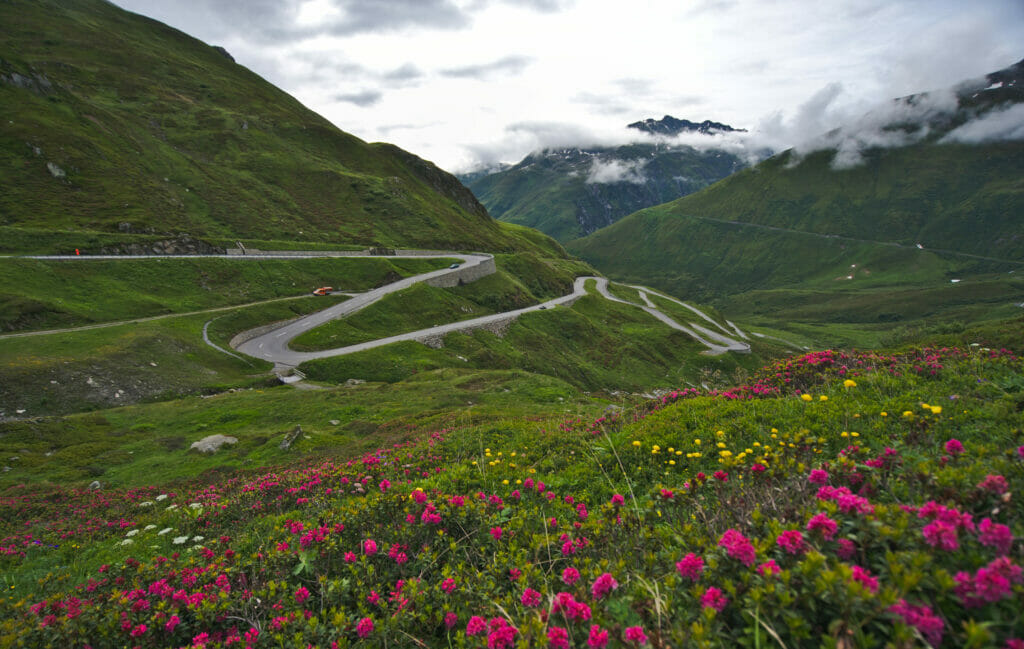
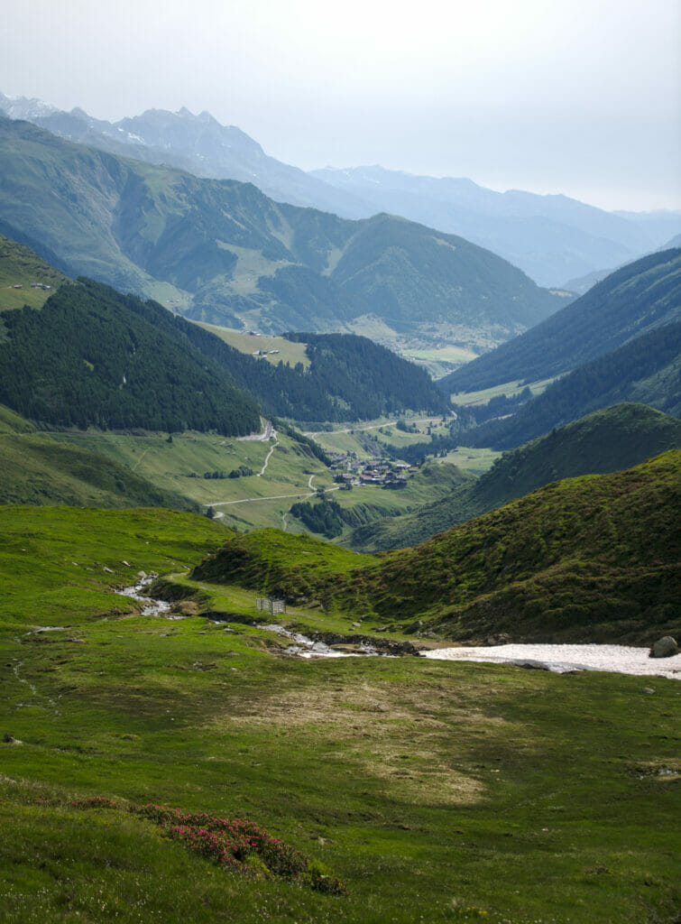
Finally, the Oberalp pass is also an ideal starting point for a hike (especially to the Toma lake, the official source of the Rhine. We will come back to this just below). Even if you don't feel like going for a big hike, we recommend you to follow the path towards the Toma lake for 10-15 minutes to have a magnificent view on the winding pass road on the Graubünden side. It's really worth it!
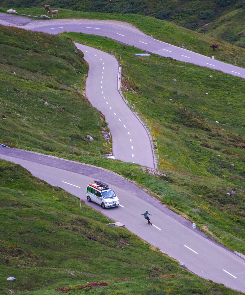
Note: no no this is not Ben who going down the laces of the Oberalp pass with a skateboard 😉
Hike to Lake Toma, the source of the Rhine
We passed twice to the Oberalp pass, on the way there and on the way back. During our last day of road trip, as the weather was a little bit better, we decided to go hiking towards the lake of Toma and see how the lake which gives birth to one of the biggest river of Europe looks like.
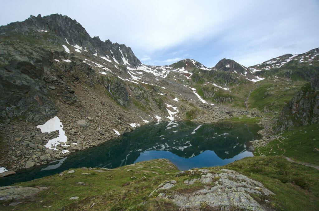
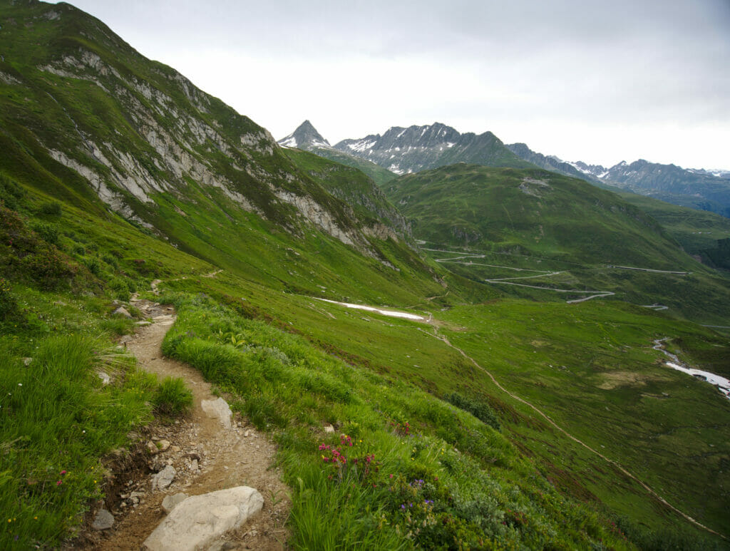
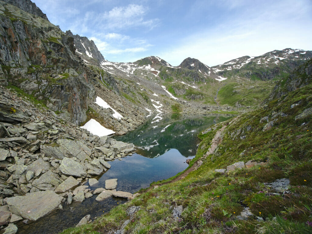
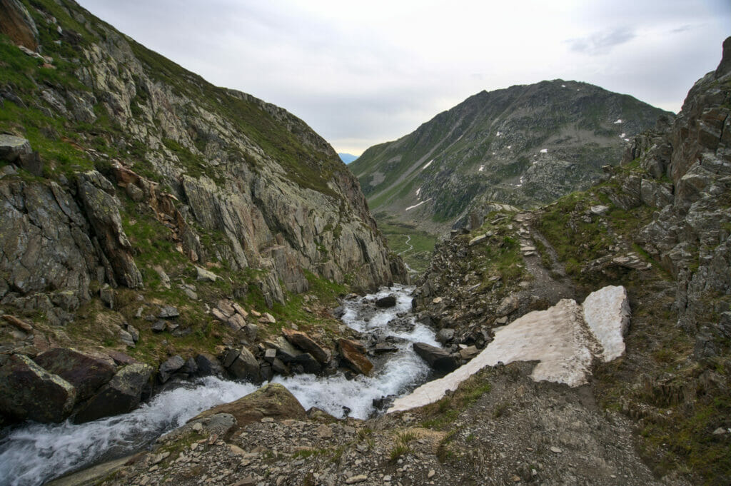
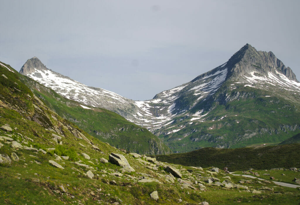
This hike is very easy to do. From the Oberalppass parking lot, follow the path that goes down along the road. The trail then follows the side of the Pazolastock with very nice views on the impressive laces of the Oberalp Pass. Note also that if you feel like doing a longer and more challenging hike, you can do a loop that passes over the top of the Pazolastock and then down to the Badus hut and the Toma lake.
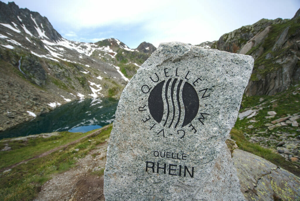
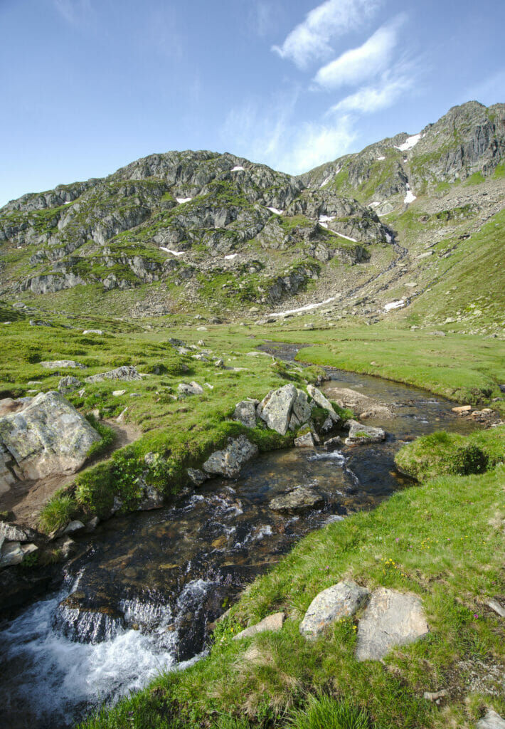
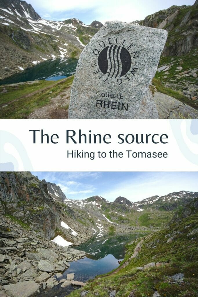
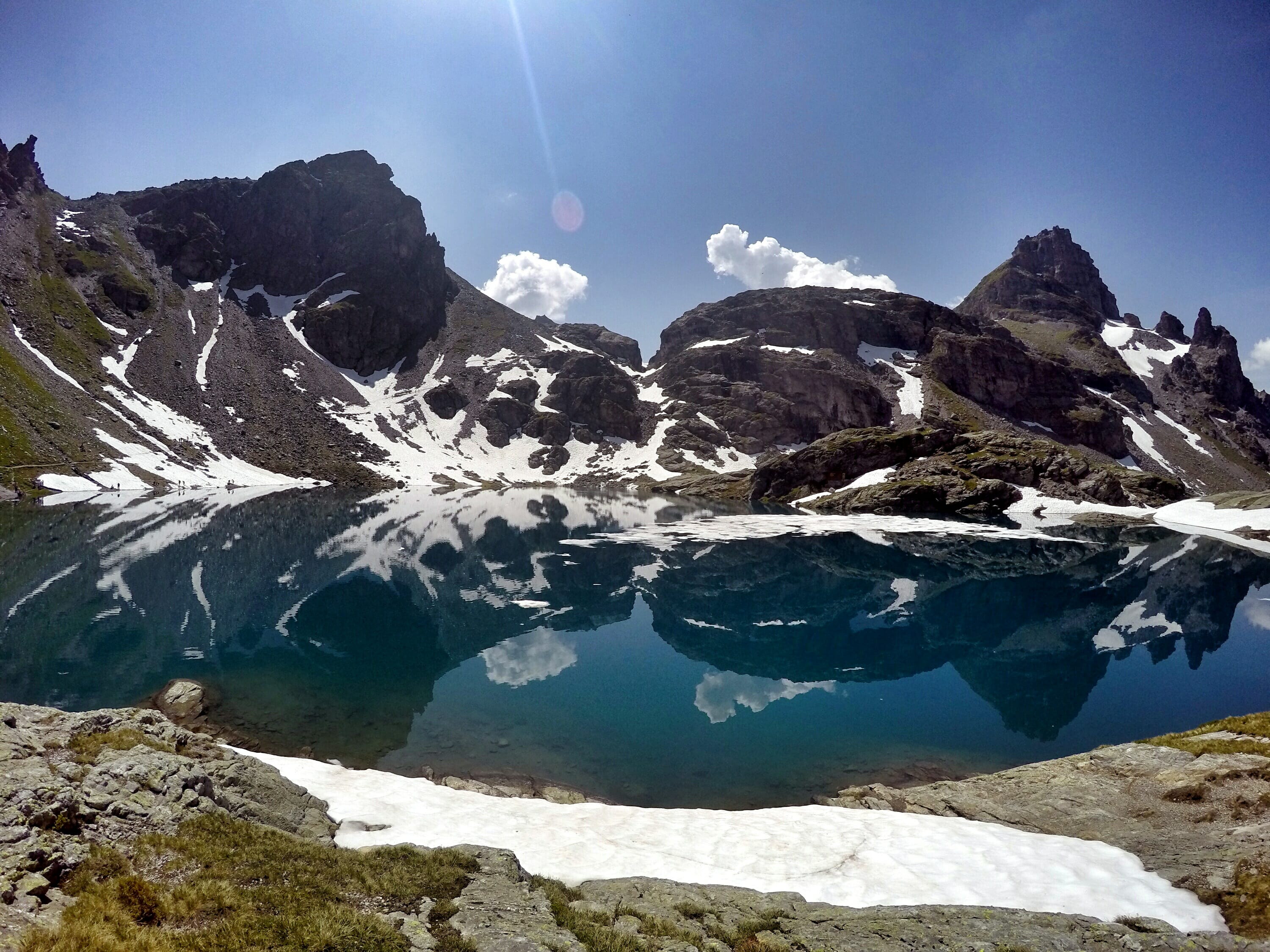
At the 1st fork, we follow the path which goes up on the right for 2kms to arrive at the Toma lake where an engraving shows on a stone "Rhein Quelle" (source of the Rhine). After enjoying the landscape, we go down again by following the first meters of the Rhine up to a track then a path which brings us back to the fork where we had gone up on the right. Then we just have to come back to the Oberalp pass by the same path as on the way up.
- Distance: 9kms
- Elevation: about 450m +-
- Difficulty: easy
- Duration: 3h
- Start: parking lot at the Oberalp pass
Convent and Abbey of Disentis
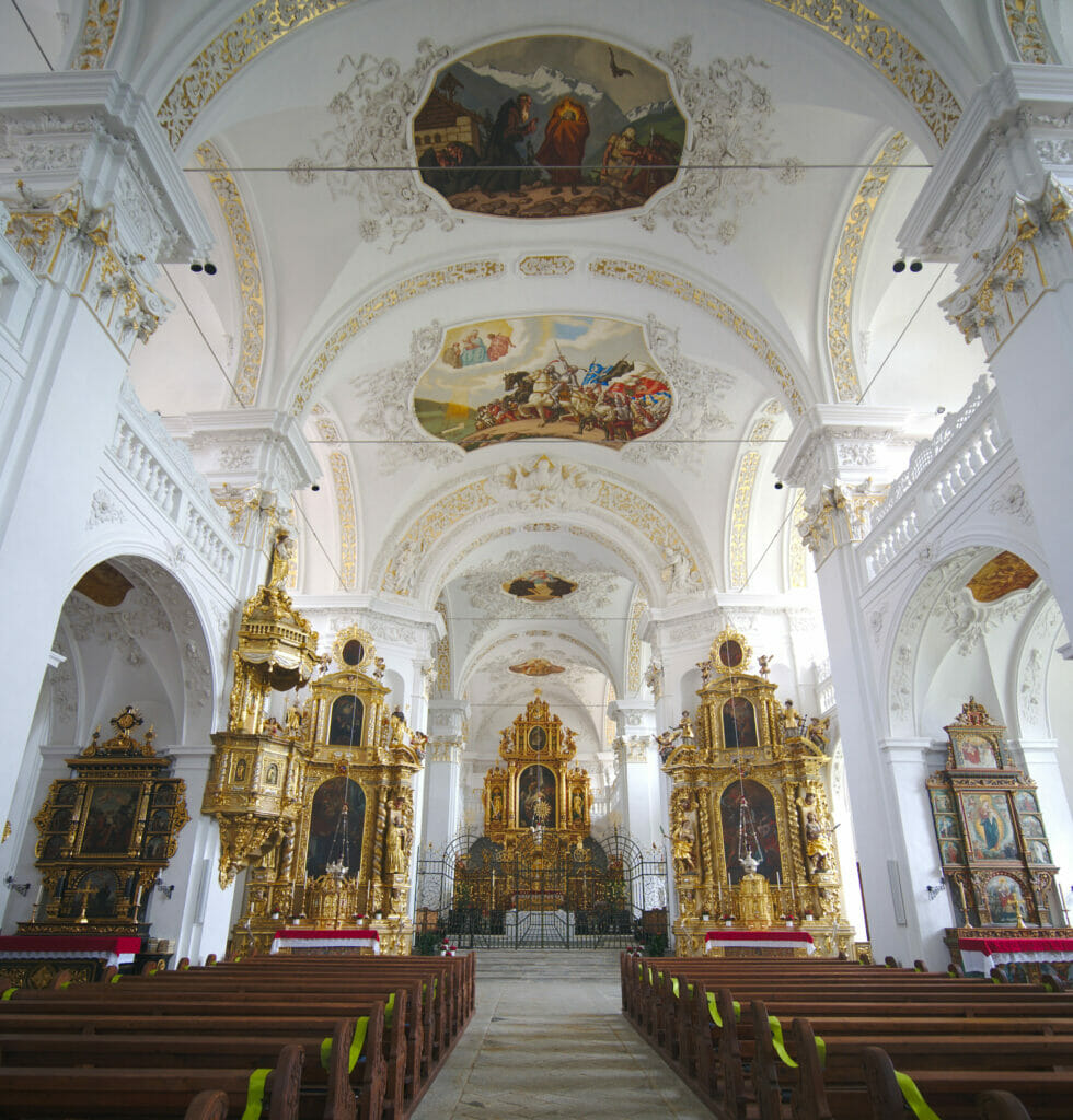
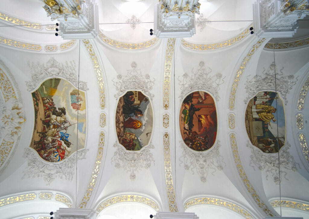
After the Oberalppass, we take the numerous twists and turns of the pass to go down the long valley of the Anterior Rhine. We make a stop in the village of Disentis to have a look at its Abbey, dating from the 8th century and which is still in activity. The church is worth a visit and there is also a museum that traces the history of the abbey through the centuries.
Flims: hike from the Caumasee to the Crestasee via the Il Spir viewpoint
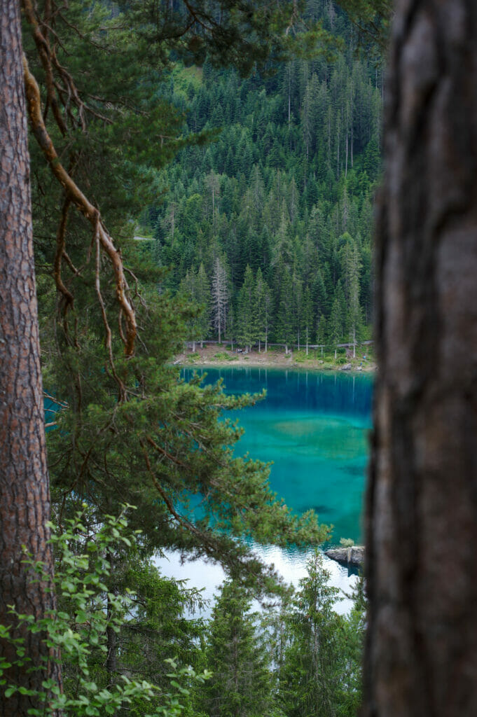
We then continue to the villages of Flims / Laax, which is a well known winter resort for skiers and snowboarders (especially because it is quite close to the city of Zurich and because there is a huge snowpark and halfpipe for freestyle). In summer, Flims also attracts hikers and swimmers who crowd around the famous Caumasee (lake of Cauma), famous for its beautiful shades of turquoise blue.
So usually we avoid places like the Caumasee, especially during the summer vacations… But as we are not every week in the Graubünden either (and as this lake looks really beautiful), we decided to go there anyway by making a nice hike passing by several places we also wanted to see (like the platform Il Spir with a crazy view on the Rhine gorges and the Crestasee).
So we stop at the Caumasee car park in Flims and we go down along a small stream until we reach kind of an elevator (which also looks like a funicular) which allows to go down for free to the lake. But if we went to the elevator, it is not to take it but rather because from its platform we have a magnificent view on the Cauma lake. We will go down walking and admiring the colors of the lake which appear through the trees.
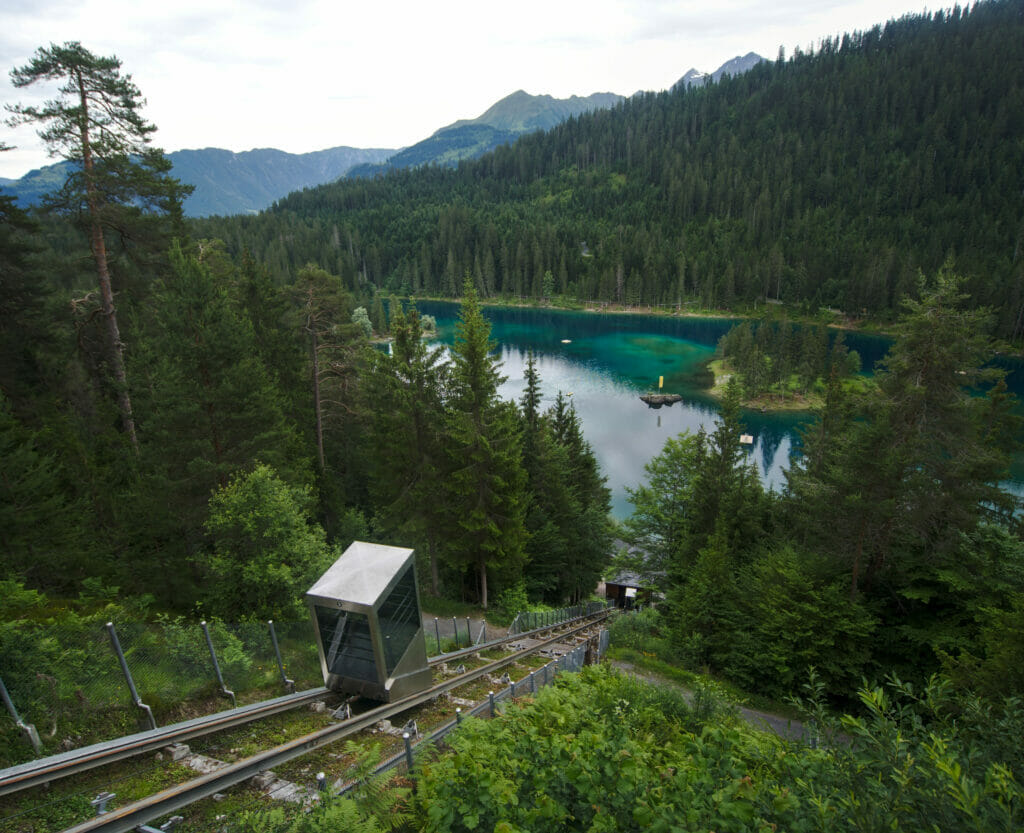
We are kind of lucky this day, the rather sad weather probably discouraged a part of the people to come for a hike here. But even if it was rather quiet and that the Caumasee is certainly splendid, we have to say that it' s too much developed to our taste: the elevator, the asphalted paths, the fences around the paying part of the lake… That ruins a little the experience! In short, we did not linger too long to go to the Rhine gorges instead.
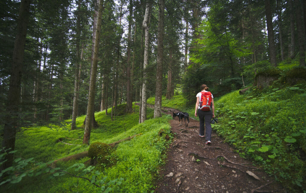
Instead of going directly to the platform "Il Spir", we climb a little more to the right to take a nice path that goes along the Rhine gorges with some splendid viewpoints on the river below. By the way, if you pass by here, we really recommend you to take this path (see the map below).
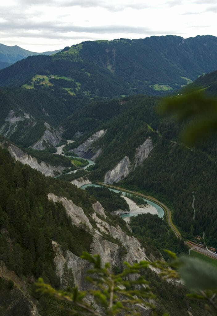
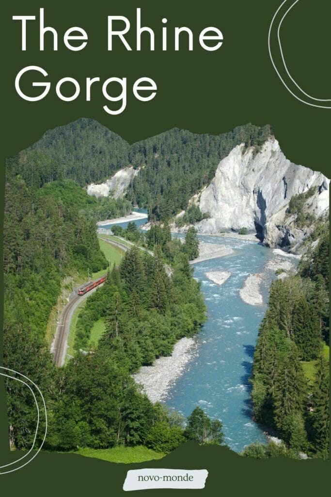
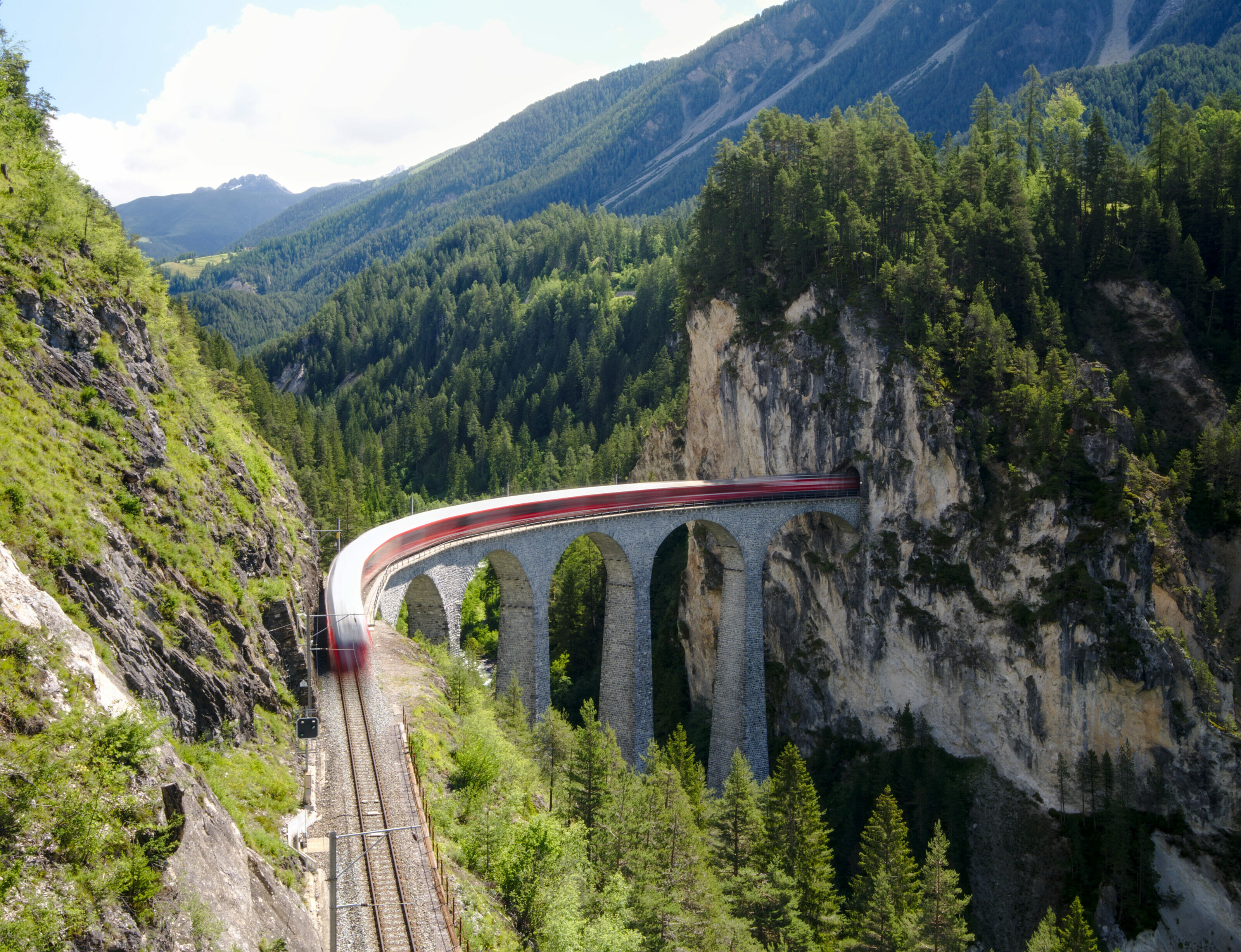
We reach then the biggest path that takes us to the observation platform Il Spir which offers a breathtaking view on the most famous bend of the Anterior Rhine. We wait patiently for our turn to climb on the platform offering an impressive perspective on the gorge just below us. Moreover, just while we stand there, the red train of the Rhaetian Railway comes out of the tunnel at the bottom of the gorges (postcard of the Grisons No2 😉 )
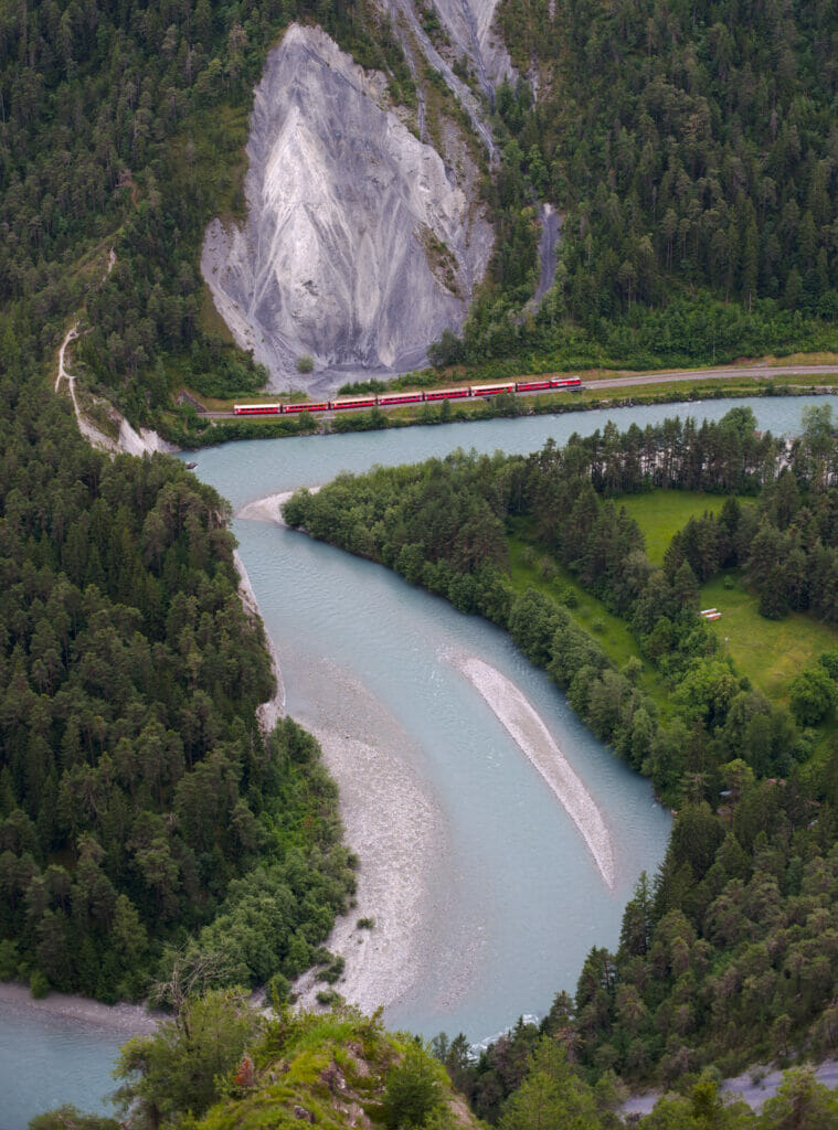
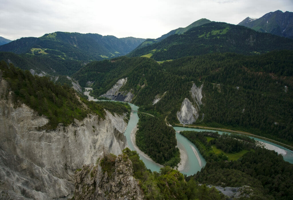
From Il Spir, we follow a track of 3-4kms in the forest which leads to the Cresta lake (Crestasee). Then even if we found this lake rather nice, we preferred the pretty gorges (Felsbachschlucht on google maps) which are hidden a few meters from there (thank you Aris for the tips 😉 ) . These gorges are really beautiful with nice waterfalls and rock formations… In short I couldn't help but take out the tripods to capture this as best as possible.
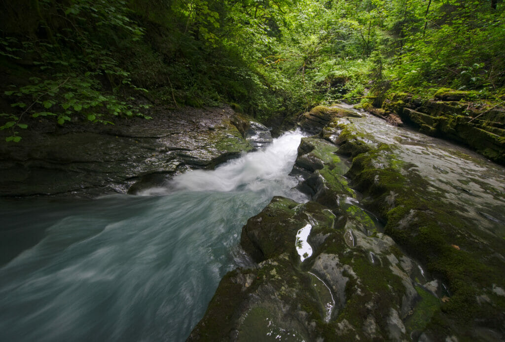
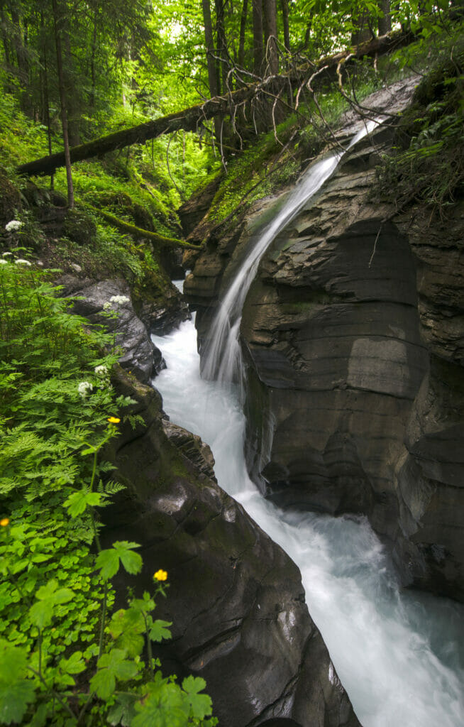
At the end of the gorges, we are already not very far from the parking of the Caumasee and we finish gently this pretty hike before continuing our way.
- Distance: about 11kms
- Elevation: about 400m +-
- Difficulté: easy
- Durée: 4h
- Start: Caumasee parking lot in Flims (it costs 6chfs per day)
At the heart of the Rhine Gorge: hiking from Versam to Valendas
Technically we did this nice little walk during the morning of our 2nd day of road trip before going to Chur. But as this hike passes literally at the bottom of the gorges I just told you about, I thought I would make another little bend in the chronological order of this blog post.
As we had just discovered the Rhine Gorge from the top, we wondered what it could look like from the bottom. And as Thalia from the tourist board of Graubünden had recommended us to hike in the gorges between Versam and Valendas (and she always gave us excellent advices), we decided to go down to Versam to check that out.
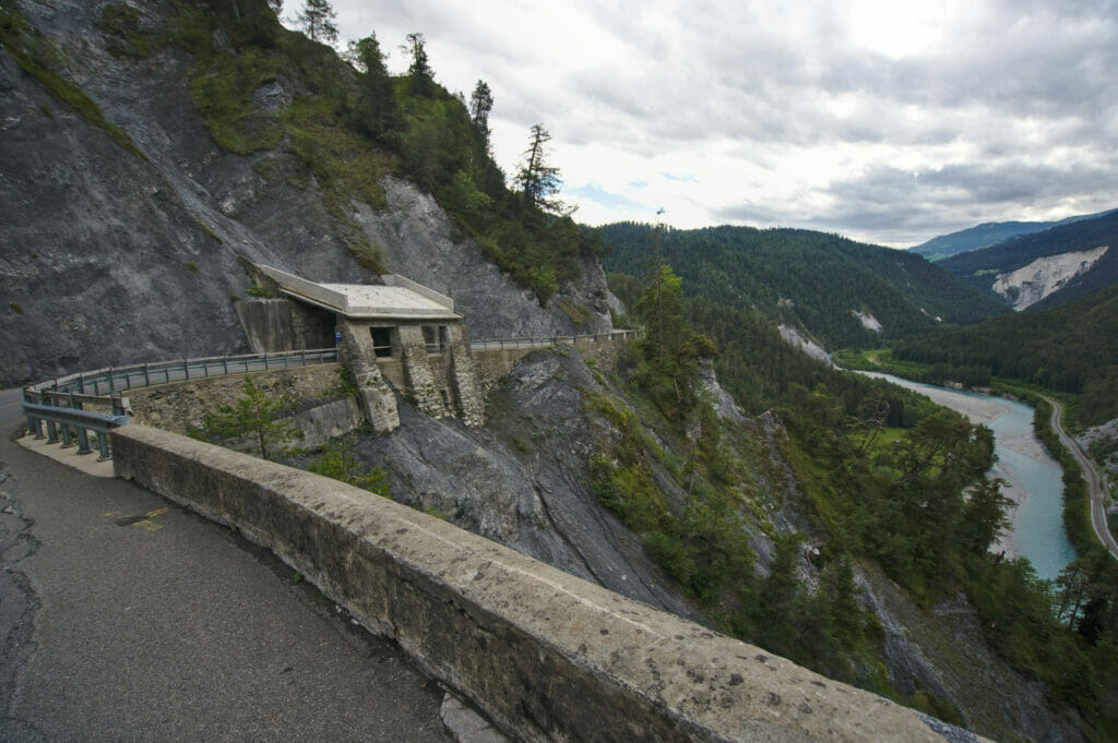
Already, arriving from Flims, the road to Versam is quite impressive. Narrow in places, it offers a spectacular view of the Rhine Gorge. Once in Versam, it is still a matter of descending to the bottom of the gorge following a narrow road to reach the station. Here too, just before the road starts to go downhill, we recommend you to stop at the small parking lot to admire the view on the gorge from the viewpoint.
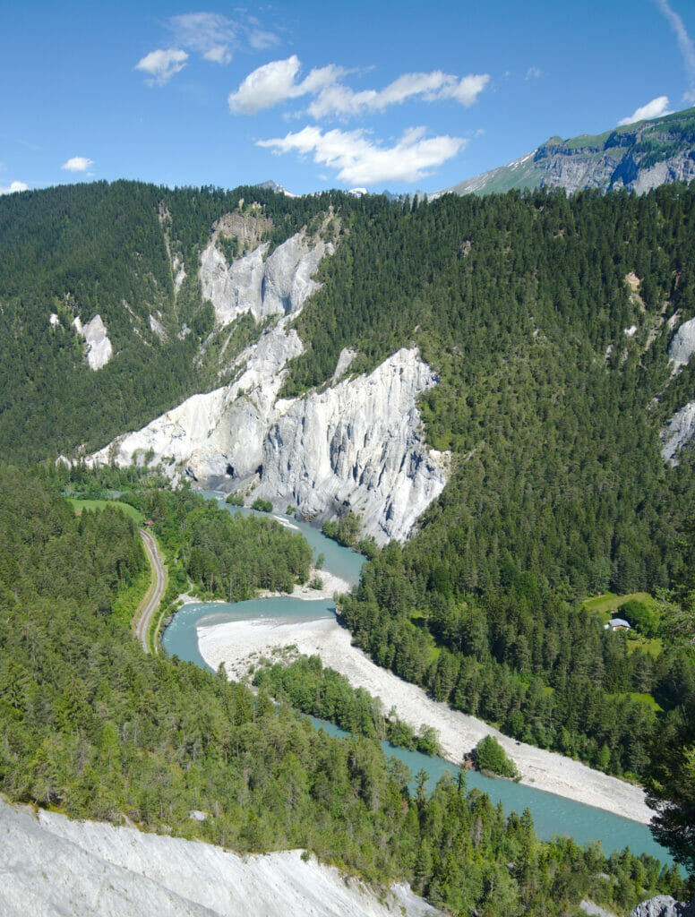
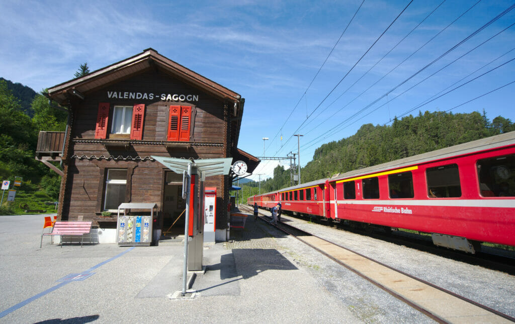
The idea is to park at the Versam station, to walk along the gorges of the Rhine to the station of Valendas 5kms further and to come back by train. We also enjoyed a much better weather than the day before which was quite nice 😉 .
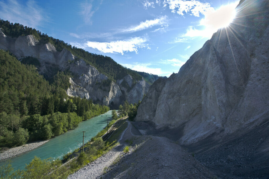
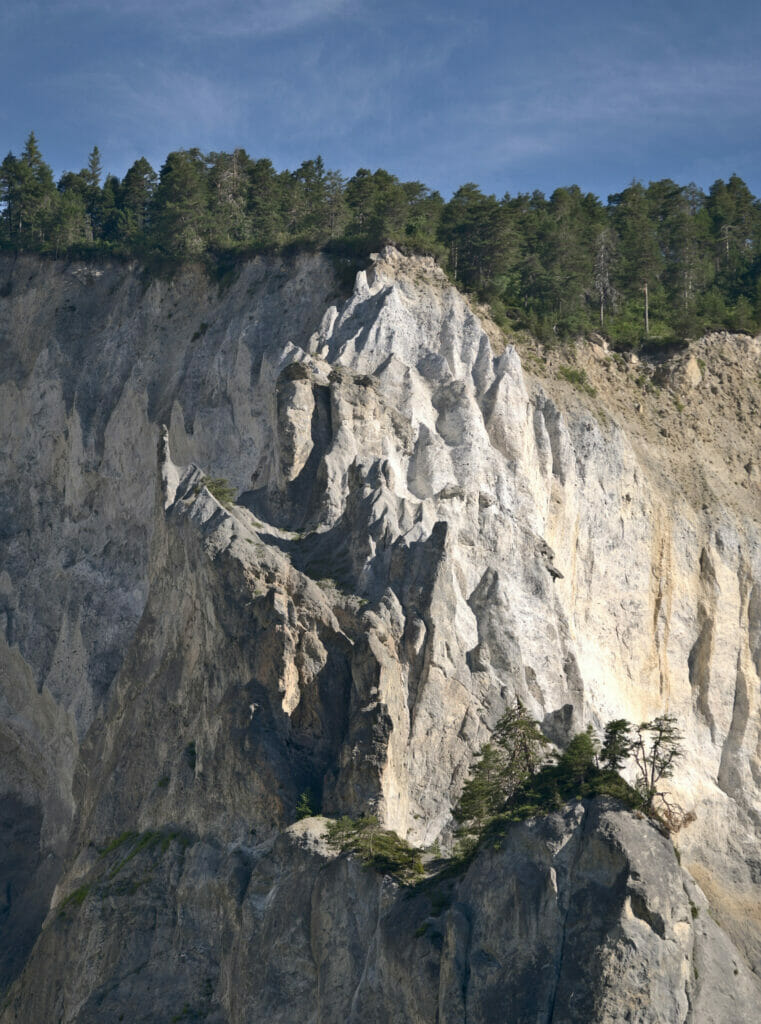
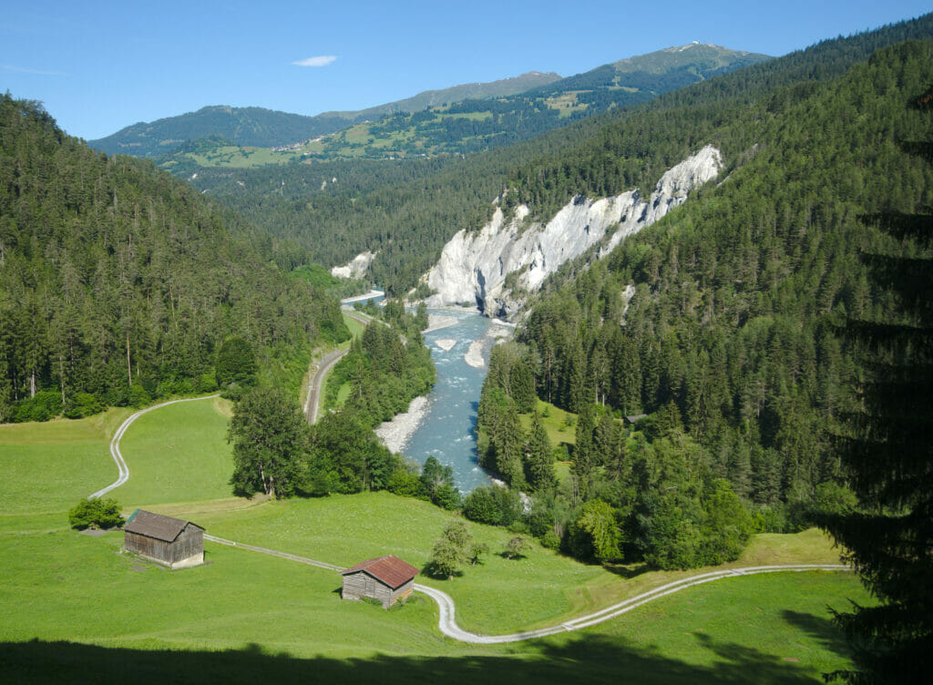
This walk is easy and pleasant. The path follows the Rhaetian Railway and the Rhine river. With the sun, the "ice blue" color of the Rhine stands out compared to the day before and contrasts with the white cliffs carved by the water. In the middle of the hike, the path takes a little bit of height and offers us a nice views over the gorges… hammocks have even been installed there by the tourism board to encourage contemplative breaks 🙂
- Distance: about 5kms
- Elevation: about 150m +-
- Difficulty: easy
- Duration: 2h
- Start: It is possible to park at either the Versam or Valendas train station and do the hike in one direction or the other. You can find the train schedule here.
The beautiful Safien valley (Safiental)
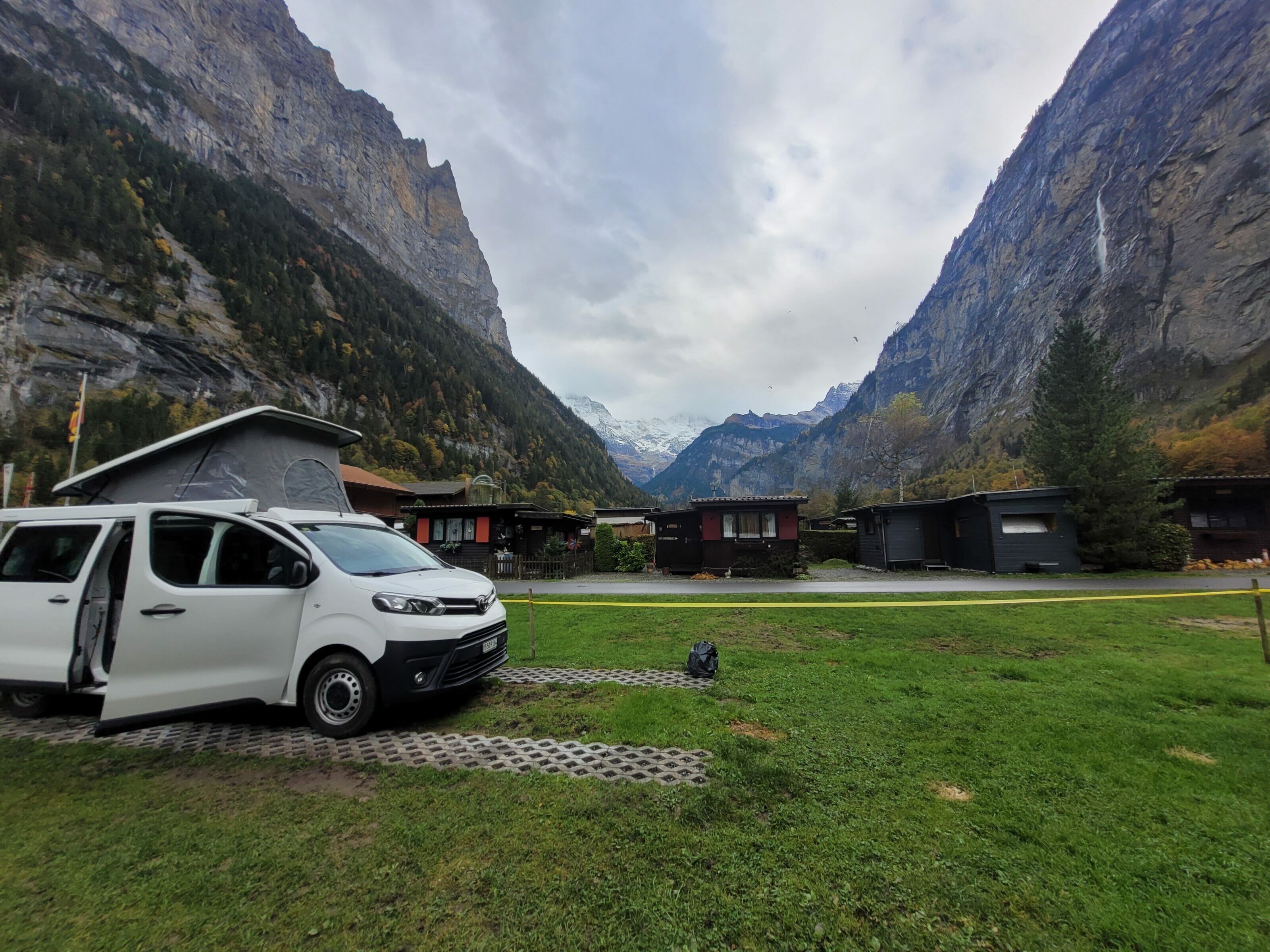
Again, it is by following Thalia's advice that we booked a spot for our van on the land of the Gasslihof at the bottom of the Safiental in the small village of Thalkirch (it is forbidden to wild camp in the Safiental as it is in the natural park of Beverin). As we had just planned to spend the night there, we must say we did not check too much about the valley of Safien and we had no particular expectation.
Our first surprise was the road that leads to the bottom of the Safiental… From Flims, we first take the road above the Rhine gorges that I told you about before. Then we go up the valley road which is still more than 20 kms long and which is to say the least narrow and winding. Although we are used to this kind of road, we have to say that we had some cold sweats by crossing the postal bus and some trucks on this road 😉 . We also thought that some mirrors could have been useful in some sharp curves to avoid surprises… Well, let's say we had under estimated a bit the necessary time to reach the bottom of the valley lol.
But once at the bottom of the valley, we clearly did not regret the journey! Our spot for the van was overlooking the tiny village of Thalkirch… We had a sweet impression to be "at the end of the world" and to have this place for ourselves. With the beautiful lights at the end of the day, we didn't resist to go for a little walk around the village. It is there that we noticed that the path No 6 (the alpine passes trail) that we plan to do next summer passes by there. We are even more looking forward to start this new adventure! We will finish this beautiful day with a beer on the terrace of the farm which rented us the spot for the van… #WhatElse
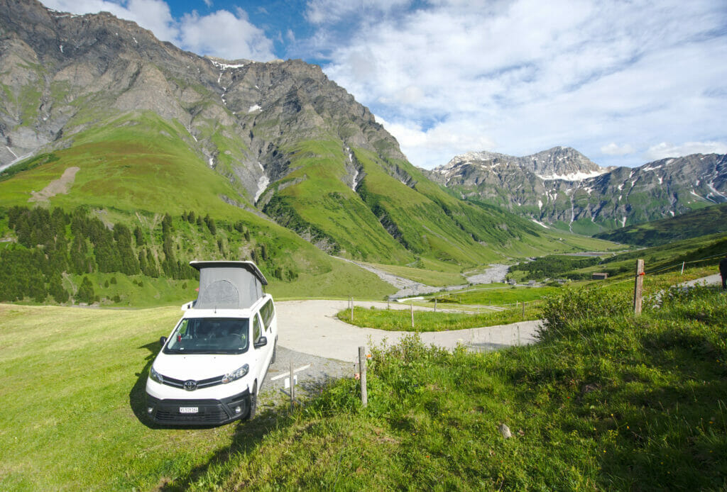
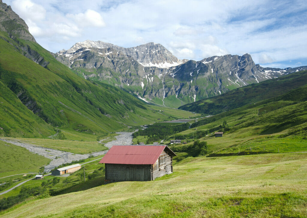
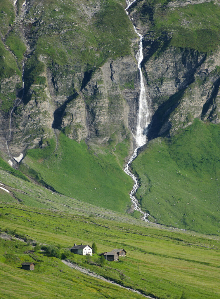
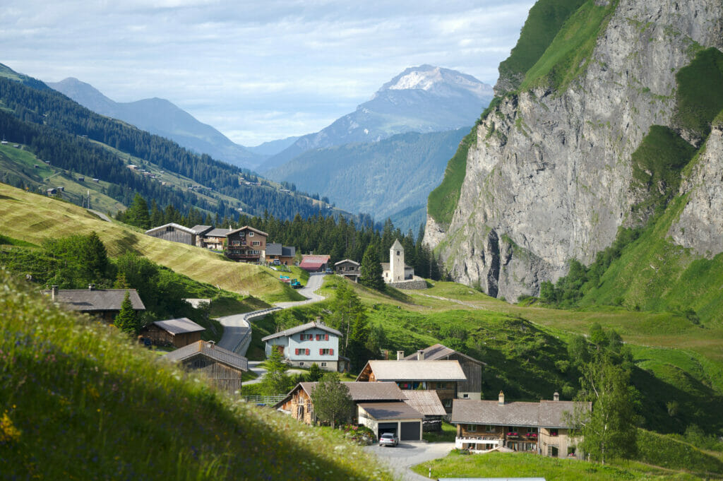
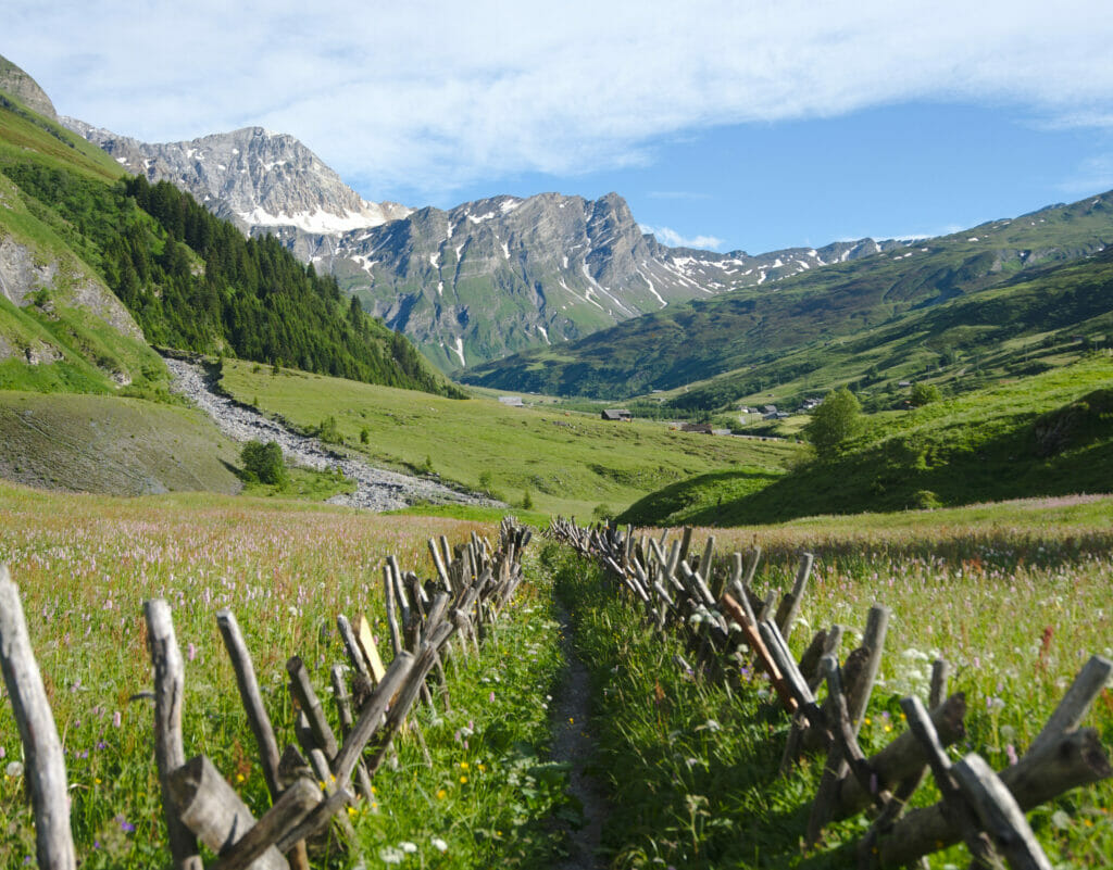
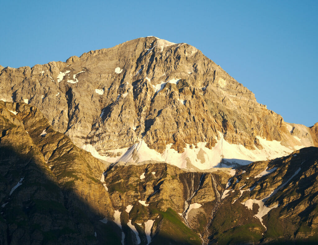
And what about the night we spent under the stars and the milky way… There too I could not help but take out the camera to take a nice picture of our van Dahu under the stars of Safiental.
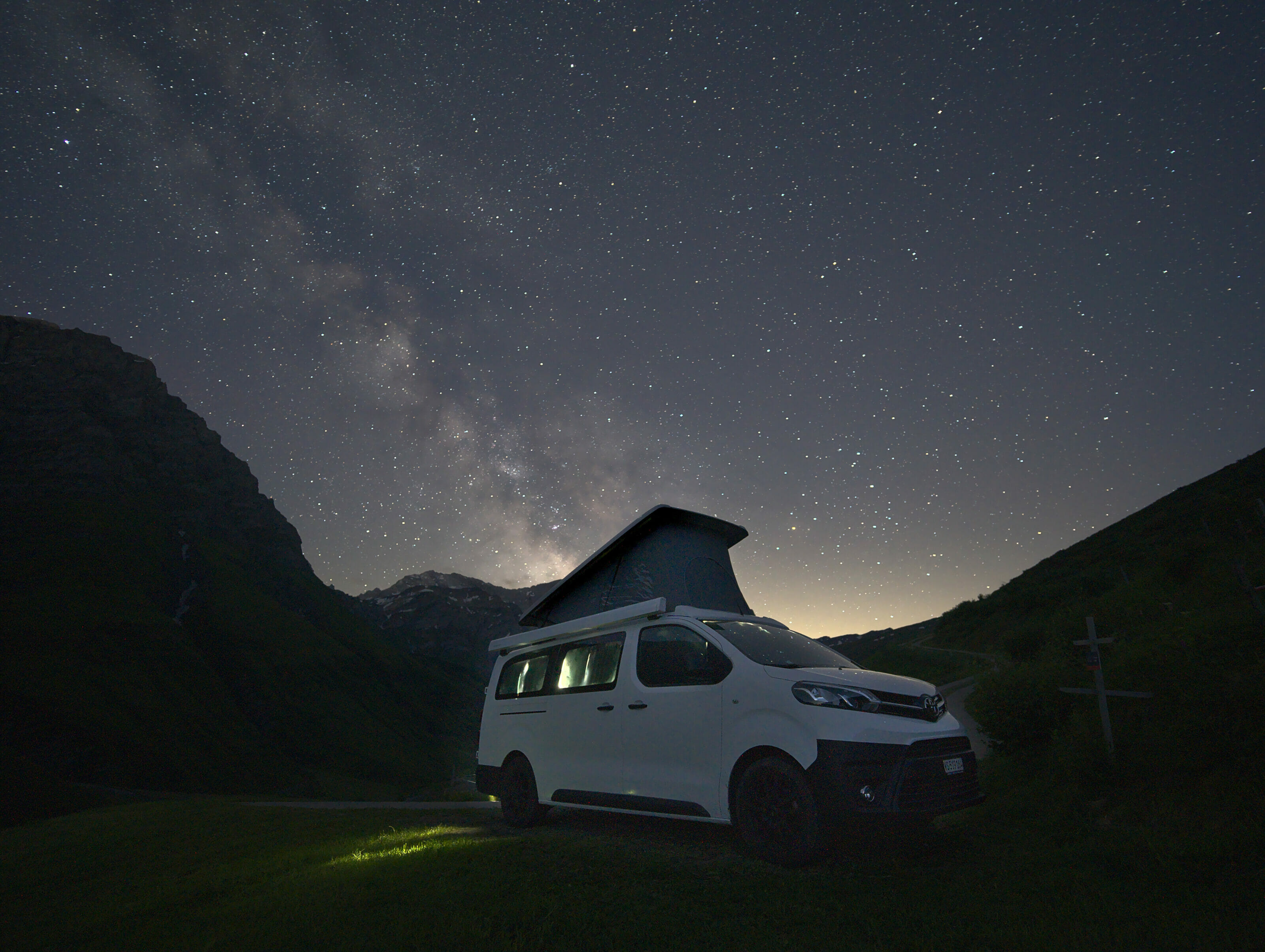
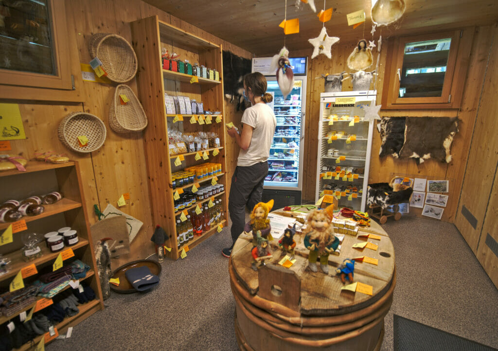
If you pass by the Safiental, we recommend you to make a small stop in the village of Safien to buy local products of the valley. You will find a small self-service shop as we like them, based on trust. Perfect to stock up on cheese or other delicacies before spending the night at the bottom of the valley.
Chur: capital city of the Graubünden canton
We have to confess that the next day, we did not especially want to leave this small paradise (maybe also because we knew that we were going to drive all the way down the valley road 😉 ). But the canton of Graubünden is vast and we still have many things to discover. We will come back to hike in the Safiental next summer 🙂 .
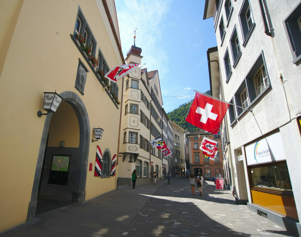
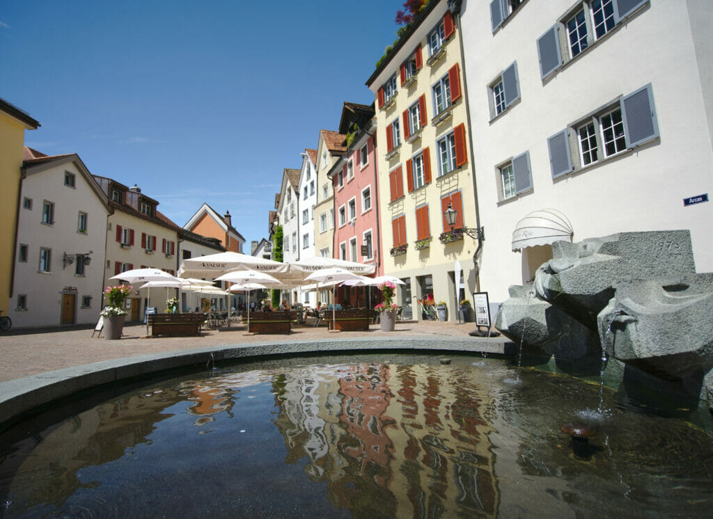
After having gone down the valley and hiked inside the Rhine gorges between Versam and Valendas, we stop to eat in the city of Chur, capital city of Graubünden. Even if we are not cities fans, we found that the old center of Chur, entirely pedestrian, is worth the detour. It's the ideal place to stroll between the beautiful streets and squares, have a drink or a meal on a terrace and admire the built heritage of the city.
Discovering the vineyards and the Pinot Noir of Graubünden
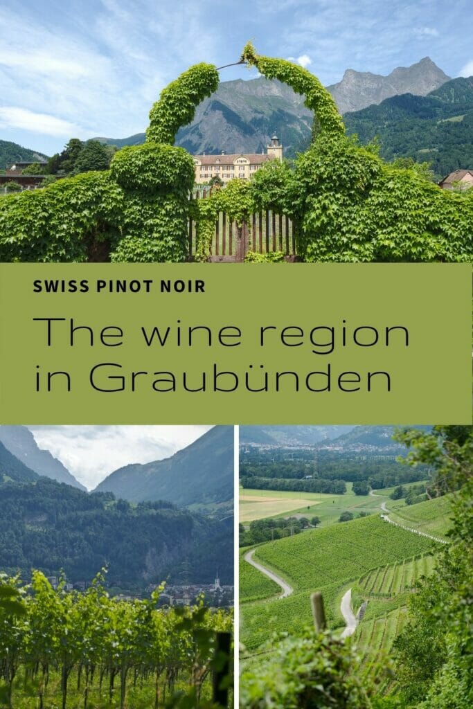
We don't linger too long either because not far from Chur is the wine region of the "Bündner Herrschaft" around the villages of Maienfeld or Fläsch, very famous in Switzerland for its excellent pinot noir. And if you have been reading us for a while, you know that we like to have a drink and that our best decisions in life are often made over a bottle of wine 😉 . We were not going to miss the opportunity to buy 2-3 good bottles of local wine.
We had spotted a hike which made a tour of the vineyards between Maienfeld and Fläsch… but unfortunately, it was so hot this day that we had to "settle" for a shorter version. After barely 1km of hiking in Maienfeld, we saw that our dog Winchy would not last 10kms (on a paved road) with this heat. So we went to Fläsch with the van to make the portion of the hike across the vineyards. We shall finish the afternoon on a pretty terrace with an ice cream and a glass of local pinot noir from one of village winery (Hermann).
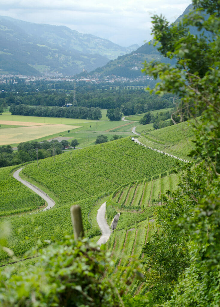
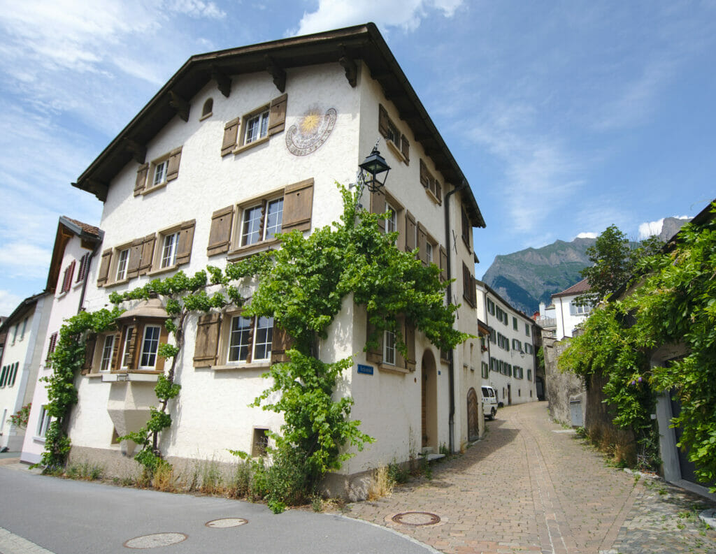
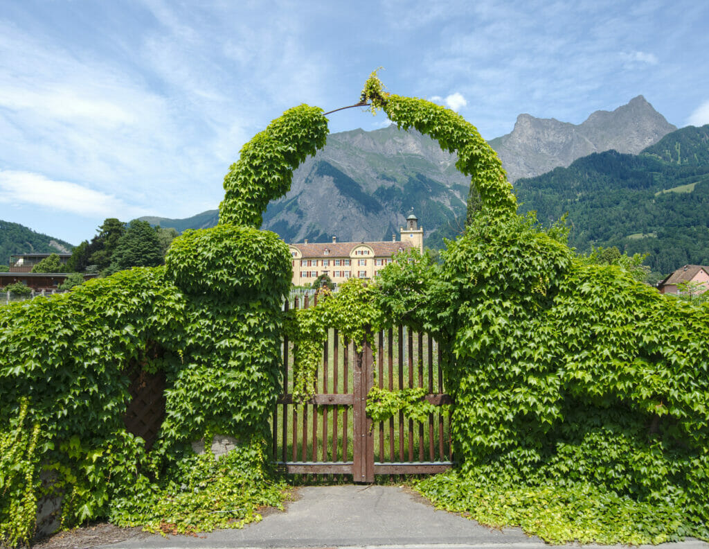
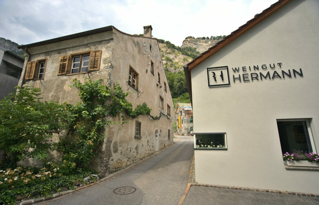
We put you anyway the infos of the complete hike below. And don't forget to stop at one of the wine shops in Maienfeld at the end of your walk to buy some wine!
- Distance: about 12kms
- Elevation: about 250m +-
- Difficulty: easy (if it's not 30 degrees celcius )
- Duration: 3-4h
- Start: You can leave your car easily around the train station of Maienfeld
That's it, we hope you liked this blog post about our first 2 days of road trip in the Graubünden region. We'll see you soon for new posts about the rest of this trip along the Alpine Circle tour. We have some nice surprises in store for you in the Engadine region but also in the more central and less known part of the Graubünden.
Pin it on Pinterest
Note: This road trip was organized in collaboration with Graubünden Tourism. We warmly thank Thalia for her trust and her precious tips. During this trip, we were given total freedom to organize / choose our itinerary as well as our accommodations and activities. Moreover, nobody knew that we had a travel blog.


Join the discussion