At the beginning of September, after almost 7 months of staying "at home", we finally had the opportunity to redo our bags and leave for a little getaway! Some friends of ours had the wonderful idea to get married in Piedmont at the end of the summer... And if we knew that we didn't want to miss their union at any cost, this appointment was also the perfect excuse to plan a little stay in the north of Italy that we didn't know at all!
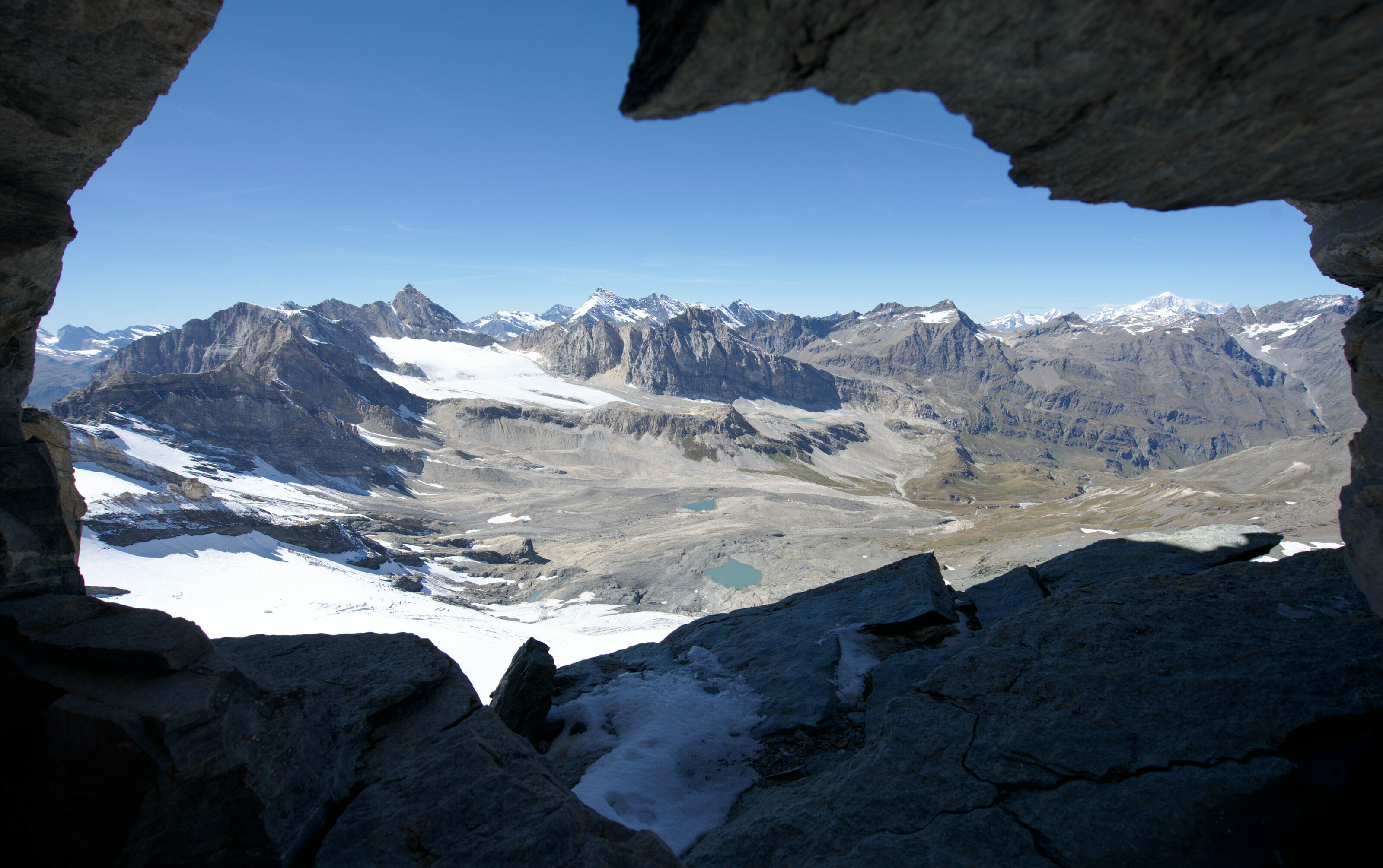
The wedding took place in the beautiful wine region near Asti, but before going down towards the vineyards we took a few days to stop in the mountains of the Gran Paradiso National Park. In this article we propose you a summary of the most beautiful things to see and the most beautiful hikes to do in the surroundings of Ivrea with in particular the ascent to Punta Basei from the Nivolet pass.
- Ivrea: Visit the small town in northern Piedmont.
- Hiking to the lakes of Sirio and Pistono
- The Pavone castle
- The Gran Paradiso National Park and the Val d'Orco
- The Noasca waterfall
- Hiking from Lake Ceresole to the Laghetti of Bellagarda
- The impressive ascent to the Nivolet pass
- Hiking in the Gran Paradiso: Punta Basei
- Practical information Grand Paradis: Getting around and lodging
Ivrea: Visit the small town in northern Piedmont
Before leaving for the mountains of the Gran Paradiso Park we made a small detour through the pretty little town of Ivrea. Well, we will admit that in reality this visit was not in our plans, but our car decided that the Italian air was going to make it lose its brakes and we started our "mountain" trip by a tour in the garage... While waiting for our little car to receive new brakes we took the opportunity to explore a little bit the "flatter areas" 😉
Ivrea is a cute little town of 25'000 inhabitants in the Province of Turin. Fun fact: the town is officially twinned with the small town of Monthey in Valais (where Benoit grew up) ;). At the risk of upsetting a few Valaisans, I'll tell you that Ivrea is much more beautiful than Monthey. 😉
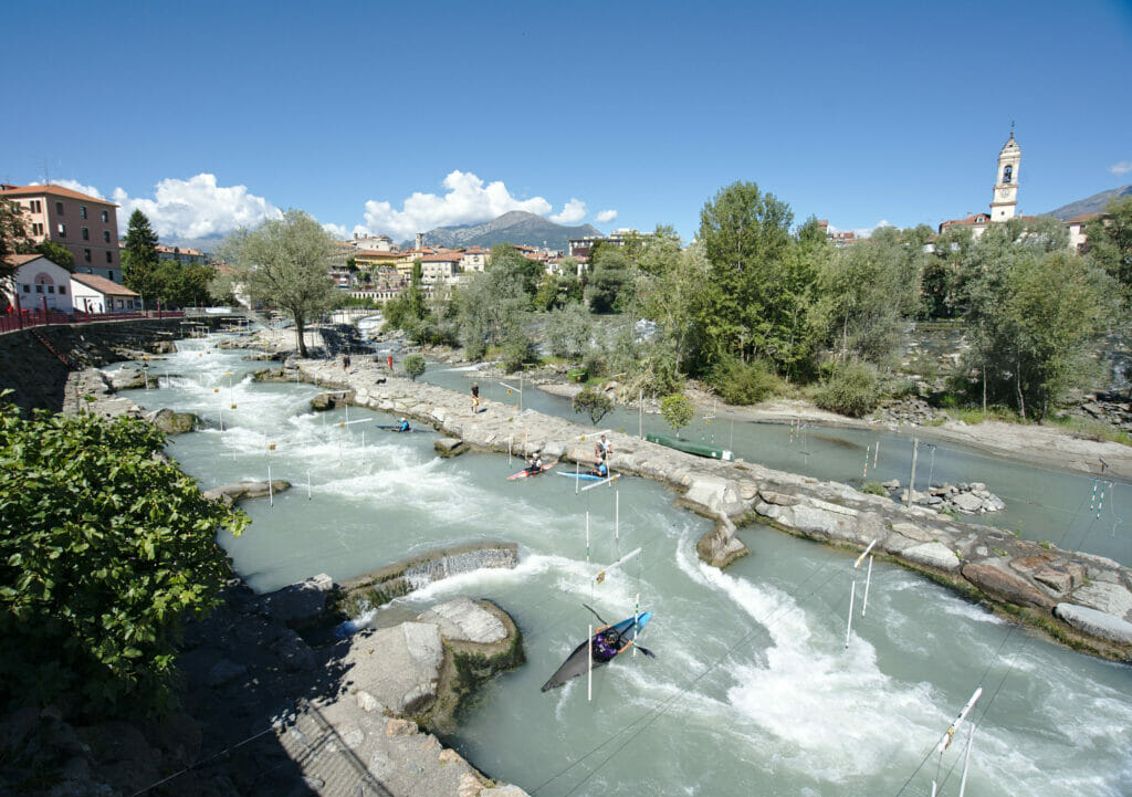
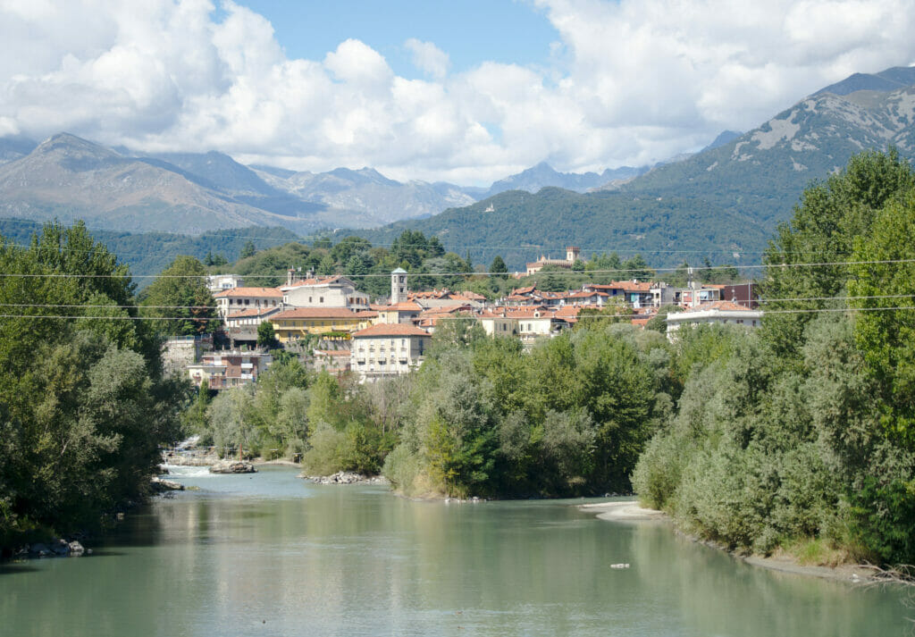
During our visit we didn't have precise plans, but we simply took advantage of the morning to stroll a little by the riverside, taste the delicious Italian coffee with a crostata, and take a walk in the old town. Ivrea really has a lot of charm and if we had to give you an advice it would surely be to go up to the castle. It was closed when we were there, but the view from up there is still worth it!
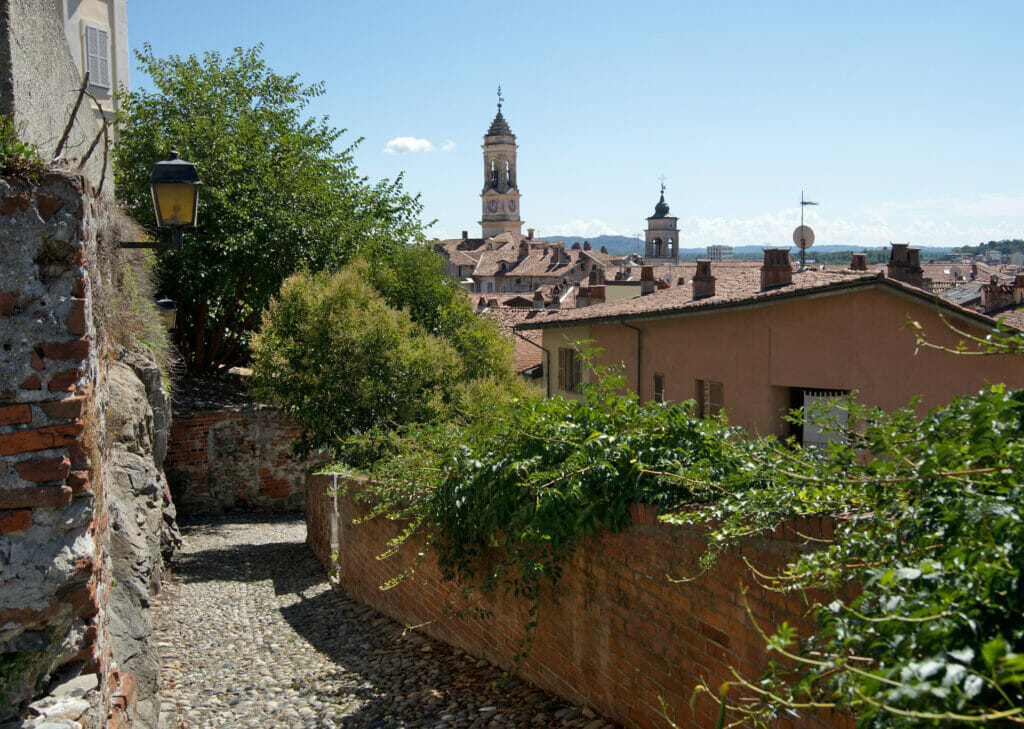
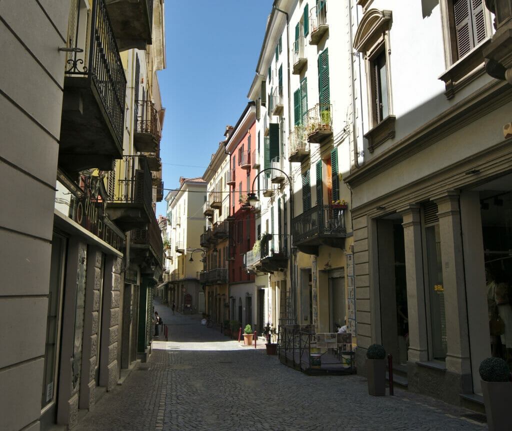
We came to Ivrea to spend the day and we stayed in the Val d'Orco (more about our accommodation later in this article). But if you want to come and explore more of the Ivrea area and less of the national park then the little town is really cute to get your base. You can find some ideas for hotels on the website Booking.
Hiking to the lakes of Sirio and Pistono
If you've been reading us for some time you'll have noticed that we rarely stay more than half a day "in town". Quickly, we feel the need to go stretch our legs a little in the "greener parts". Ivrea will not have been an exception to the rule... After a quick lunch in the pedestrian center of the city we took the car and went to park at the Lago Sirio which is less than 3km from the city center (we could have walked there to be honest...). but we didn't realize it was "so close" 😉
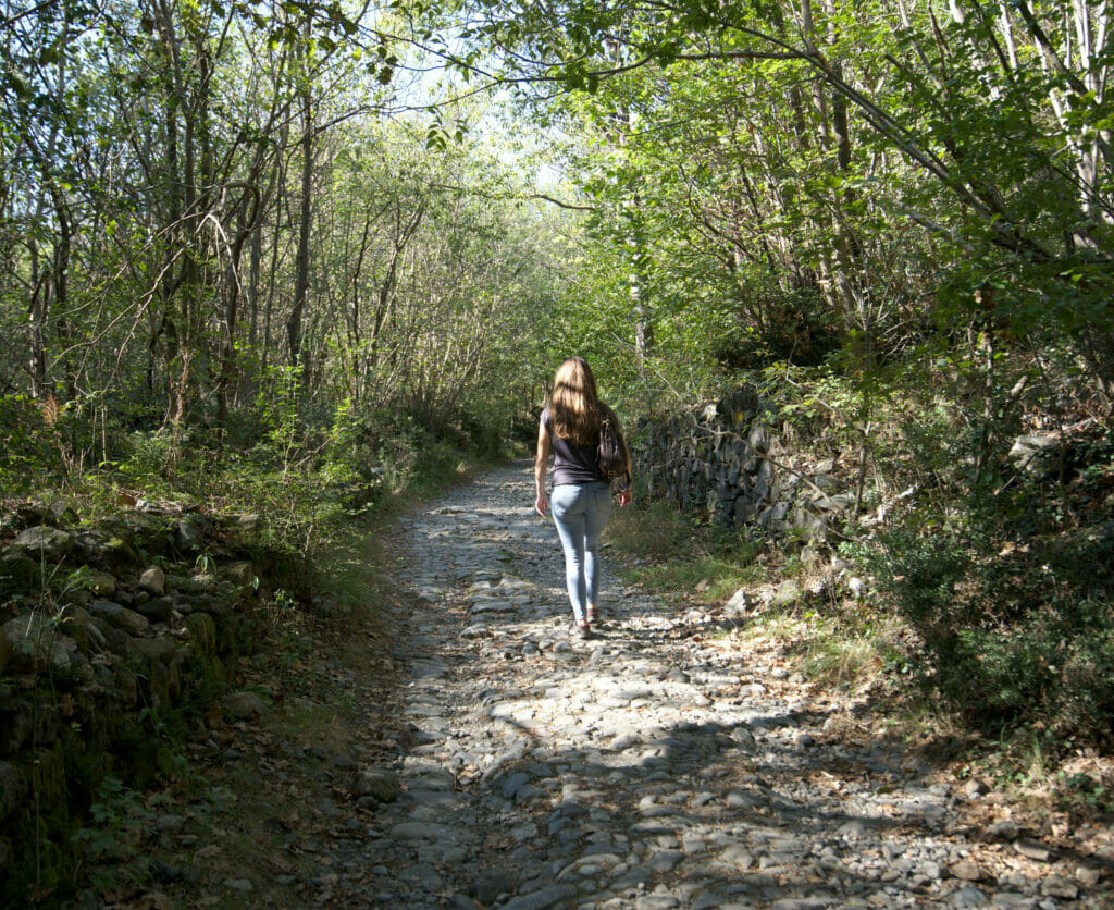
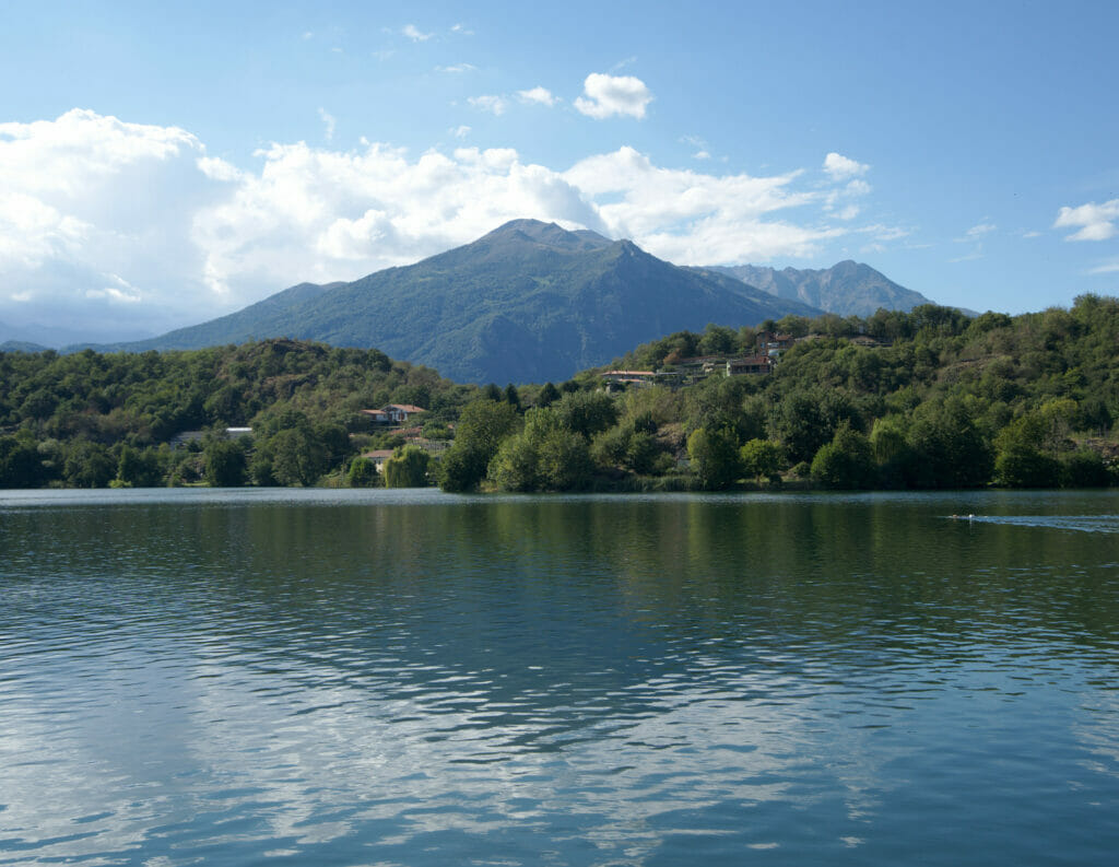
From what we understand, the 5 small lakes that are here are natural and would be of glacial origin. For the geology course of the region you will have to go see on another blog, but what we can tell you is that the area is really beautiful! At the beginning of September there was a real vacation atmosphere with lots of people taking advantage of the many beaches to swim, paddle or have a drink on a terrace.
But let's face it, the day when I will be able to install Benoit on a deckchair or on a pedal boat has not yet arrived! So, for us the program will have been to go for a small walk. And we don't regret it at all! There are a lot of trails that go a bit in all directions and it's very well maintained. There is surely enough to make a much longer hike than what we did, but as the end of the day approached (and that we had already walked more than 15km in the city of Ivrea) we limited ourselves to a small walk in direction of the lake Pistono which is overhung by a splendid castle. We have no difficulty to imagine that the continuation of the walk in direction of the lake Nero must be very pretty too!
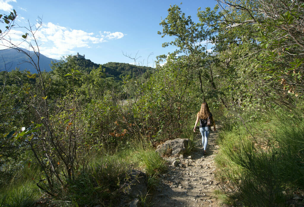
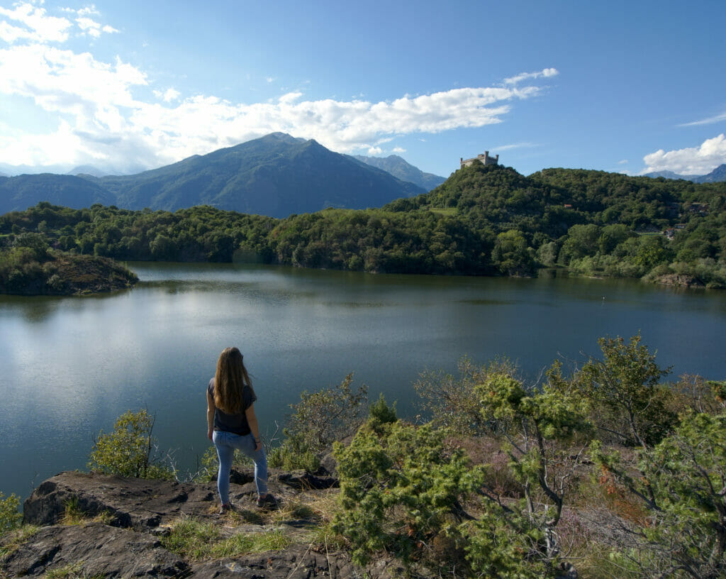
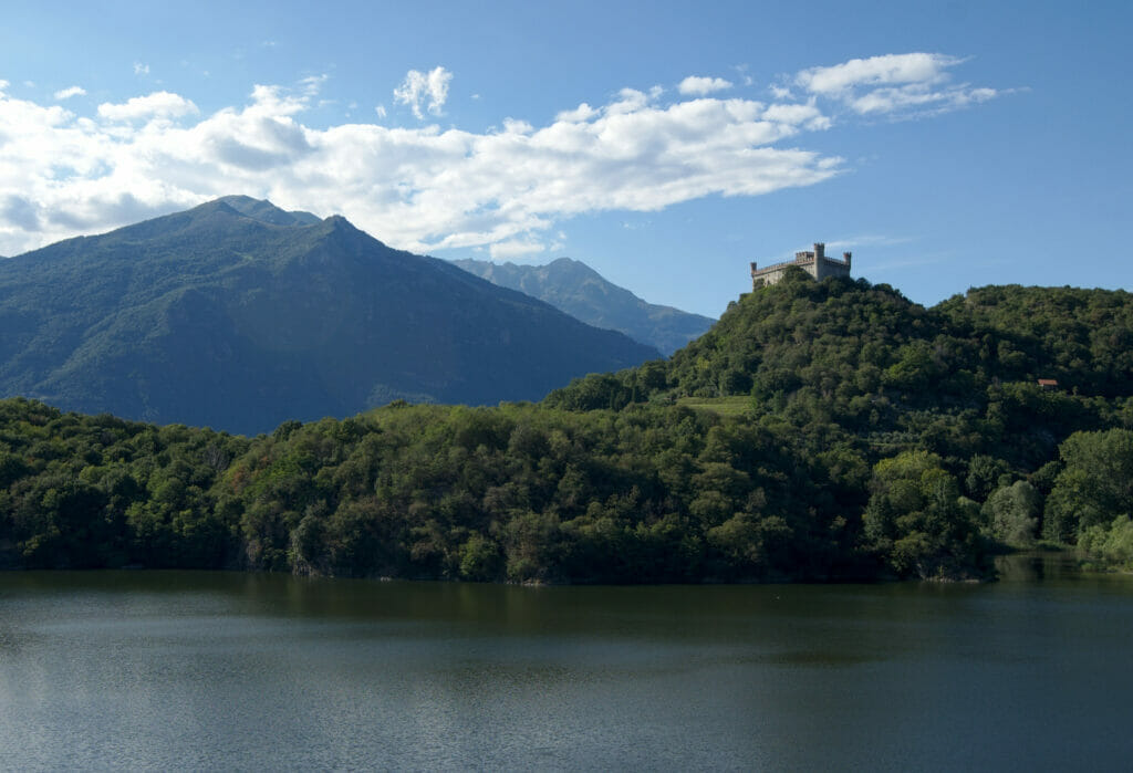
In other words, we highly recommend this place if you are in Ivrea and want to escape a little in the nature (or go pedal-boating haha).
Hiking map:
The Pavone castle
If you are in the vicinity of Ivrea or simply in Northern Piedmont and want to see an additional castle we recommend a small detour to the pretty little town of Pavone Canavese. It was on arriving by car to Ivrea that we spotted this village on the side of the road and we took the opportunity to make a small stop there on the way back.
On the other hand attention, we will have discovered it by arriving in front, but it turns out that the castle is a hotel. I guess we could have gone for a coffee to see the place from the inside but it looked a bit too classy (and we were waaaay not the classiest in our hiking outfits ;)). Looking for the hotel afterwards, it is indeed a nice 4 star hotel. The place looks very atypical with a decoration that takes you right back to the medieval times. In short, no pictures of the interior for us, but if you are curious, check out the pictures of the rooms on the booking sites. (here for example).
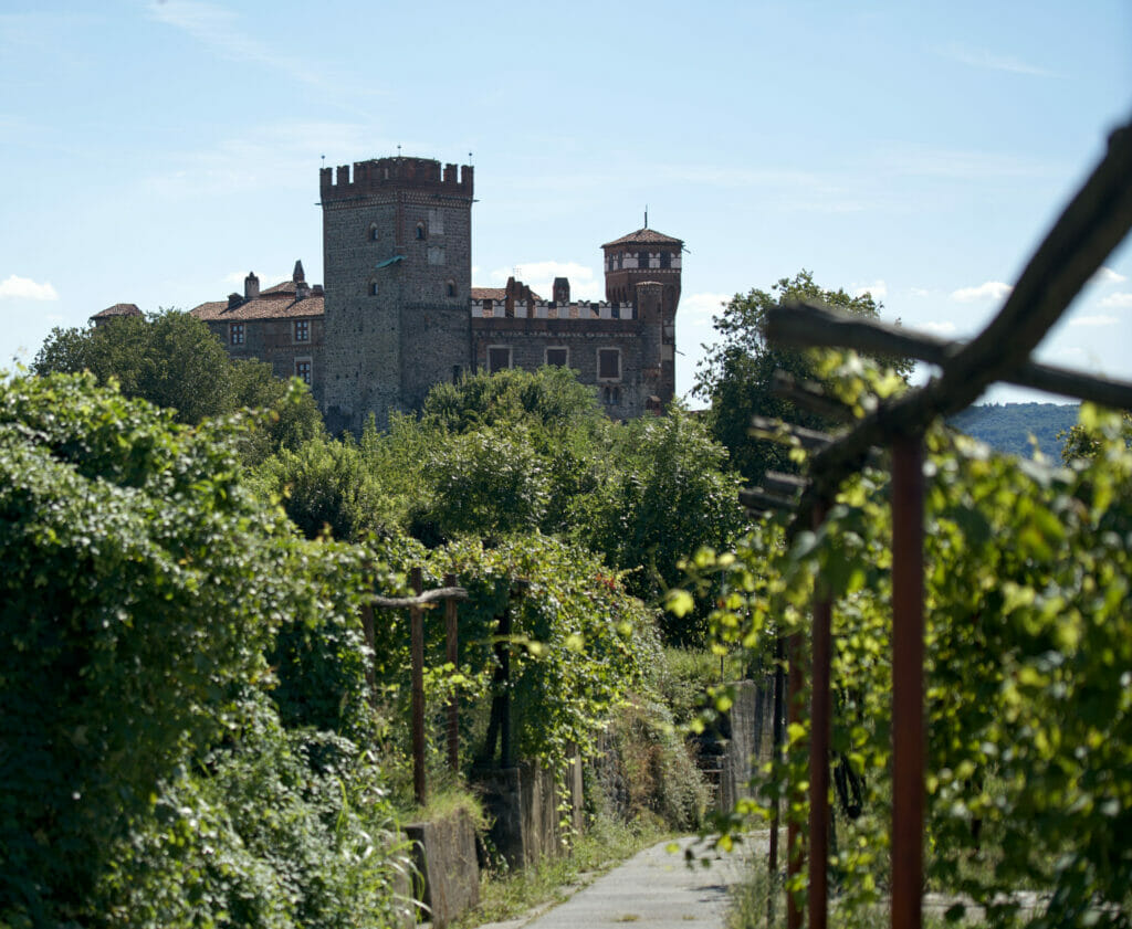
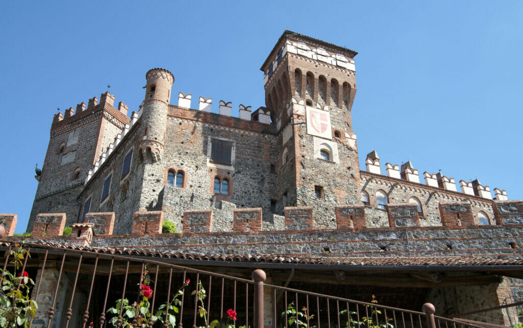
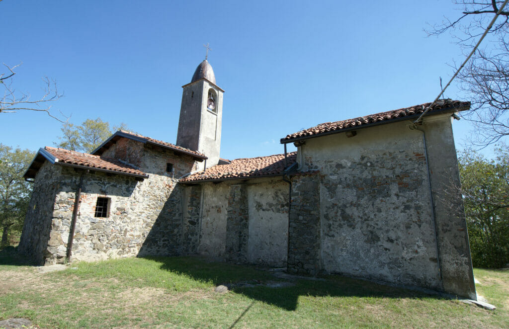
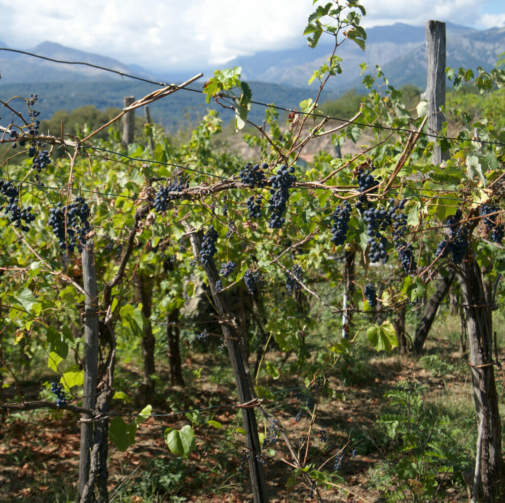
We were too shy to go inside but we still enjoyed the village. We made a small walk around the castle to go up towards a small church and return by the small pedestrian alleys under the castle. It is not a crazy hike let's be clear (just 2 small kilometers) but rather a nice walk with some pretty viewppoints on the castle and a passage towards the vineyards which are used to make the "house" wine of the hotel.
Map for this short walk:
The Gran Paradiso National Park and the Val d'Orco - Piedmont
We had to wait 36 hours longer than expected, but once our car was equipped with new brakes we finally made it to the Grand Paradiso park. I will confess that we had never even heard about this national park before. #BigMistake
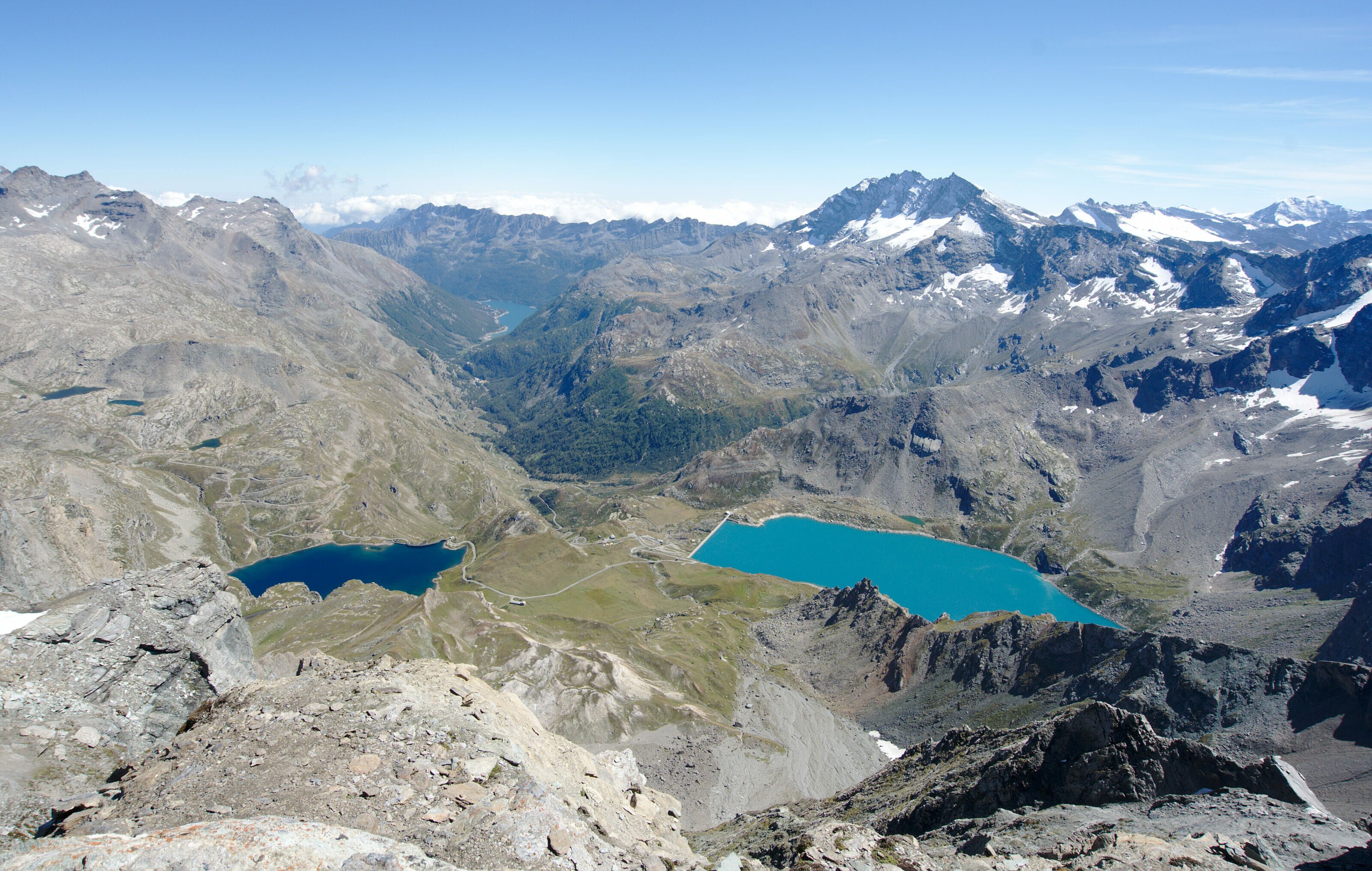
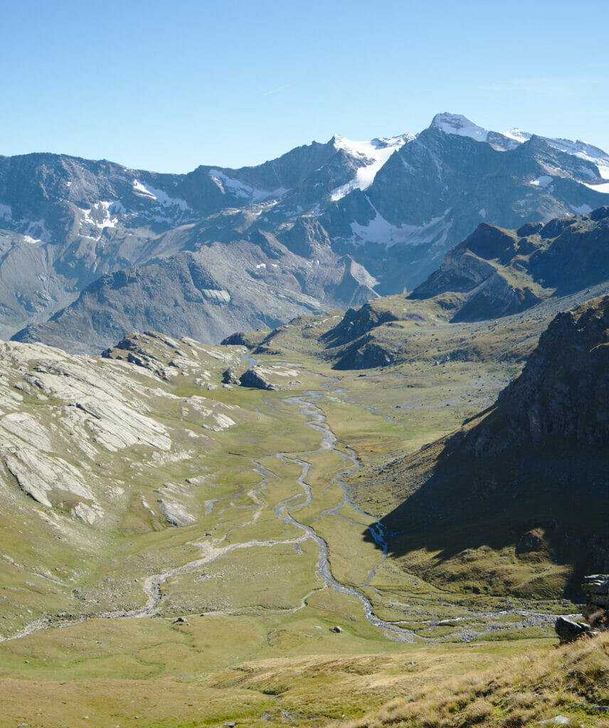
If we have arrived here, it is in fact a bit by chance... We wanted to go hiking before the wedding and naturally I had thought of the Valle d'Aosta (which is right next door and where we had briefly passed through during our St. Bernard tour this summer). But as we were at the last minute (understand that we booked our accommodation 36 hours before our departure), the prices were skyrocketting in this famous valley. Not wanting to spend too much for the accommodation, I started to look a little further and that's how I came across the Val d'Orco. Housing prices were almost divided by 2, but on the other hand, in terms of landscape, I think I can say that this valley has nothing to envy to its neighbor!
The Noasca waterfall
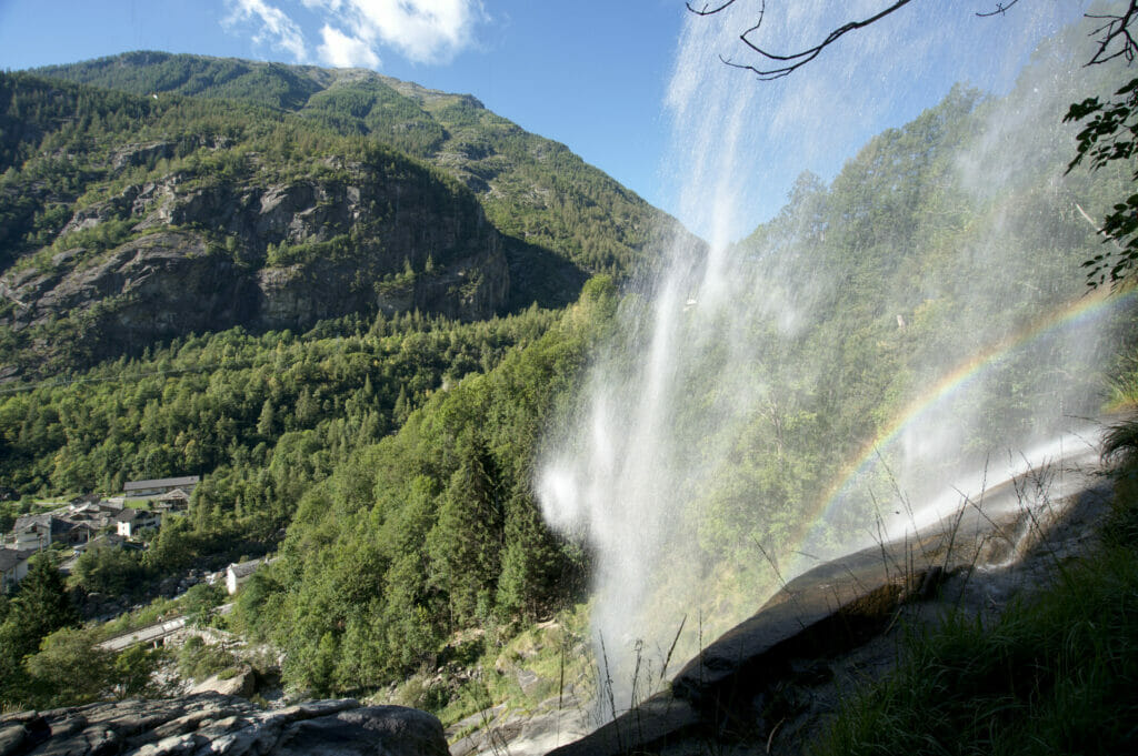
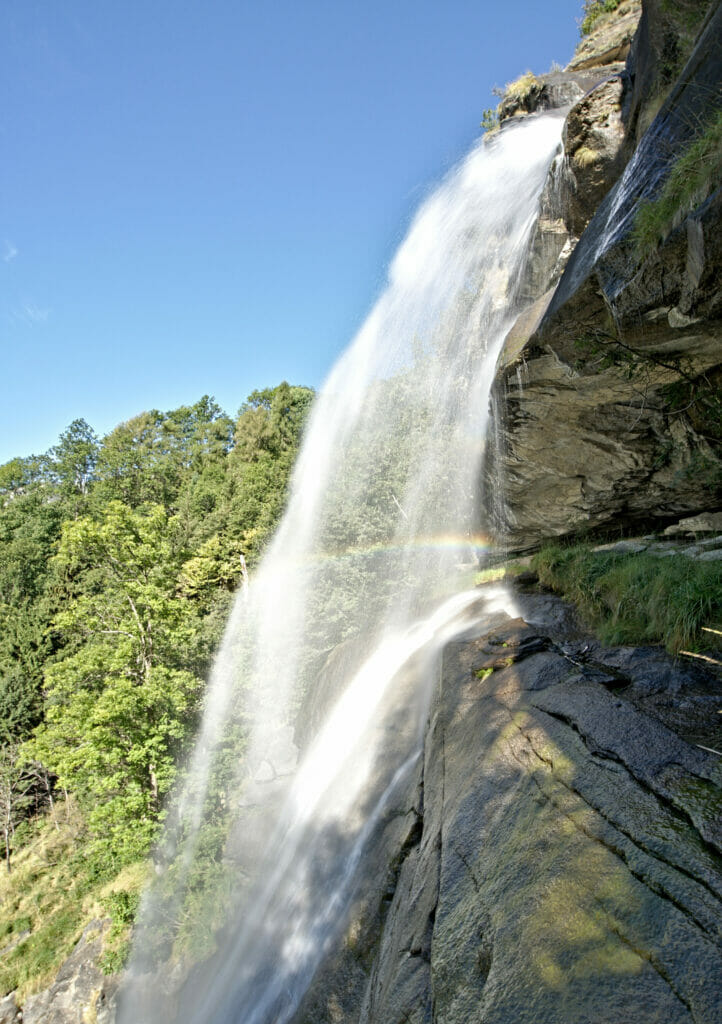
Before getting down to the serious business of hiking, we suggest a scenic stop in the Val d'Orco: the Noasca waterfall. Don't worry, if you come to the valley you won't be able to miss it! 🙂 It is located right next to the only road that climbs towards the Ceresole lake.
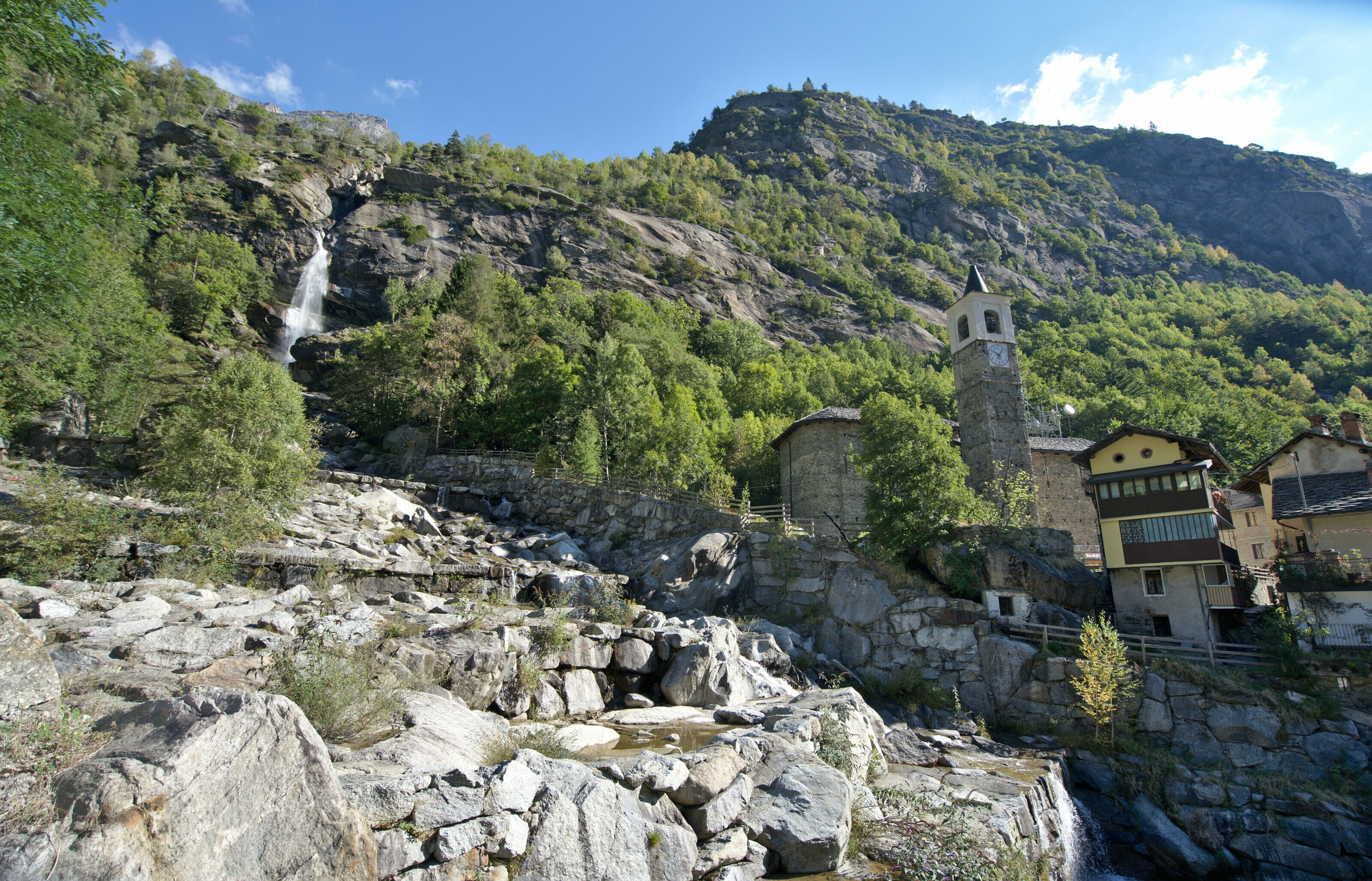
On the other hand, we will give you a little extra advice... Many people park on the village square and walk to the bridge to take a picture of the waterfall. It's a good idea, but believe us, it's really worth walking a bit more and go up to the... the waterfall! In the village, you first have to go up to the little church, go around it, then go up on the path (quite steep in places) that climbs up to a place where you can go right behind the waterfall (trail to be avoided with young children though).
Hiking from Lake Ceresole to the Laghetti of Bellagarda
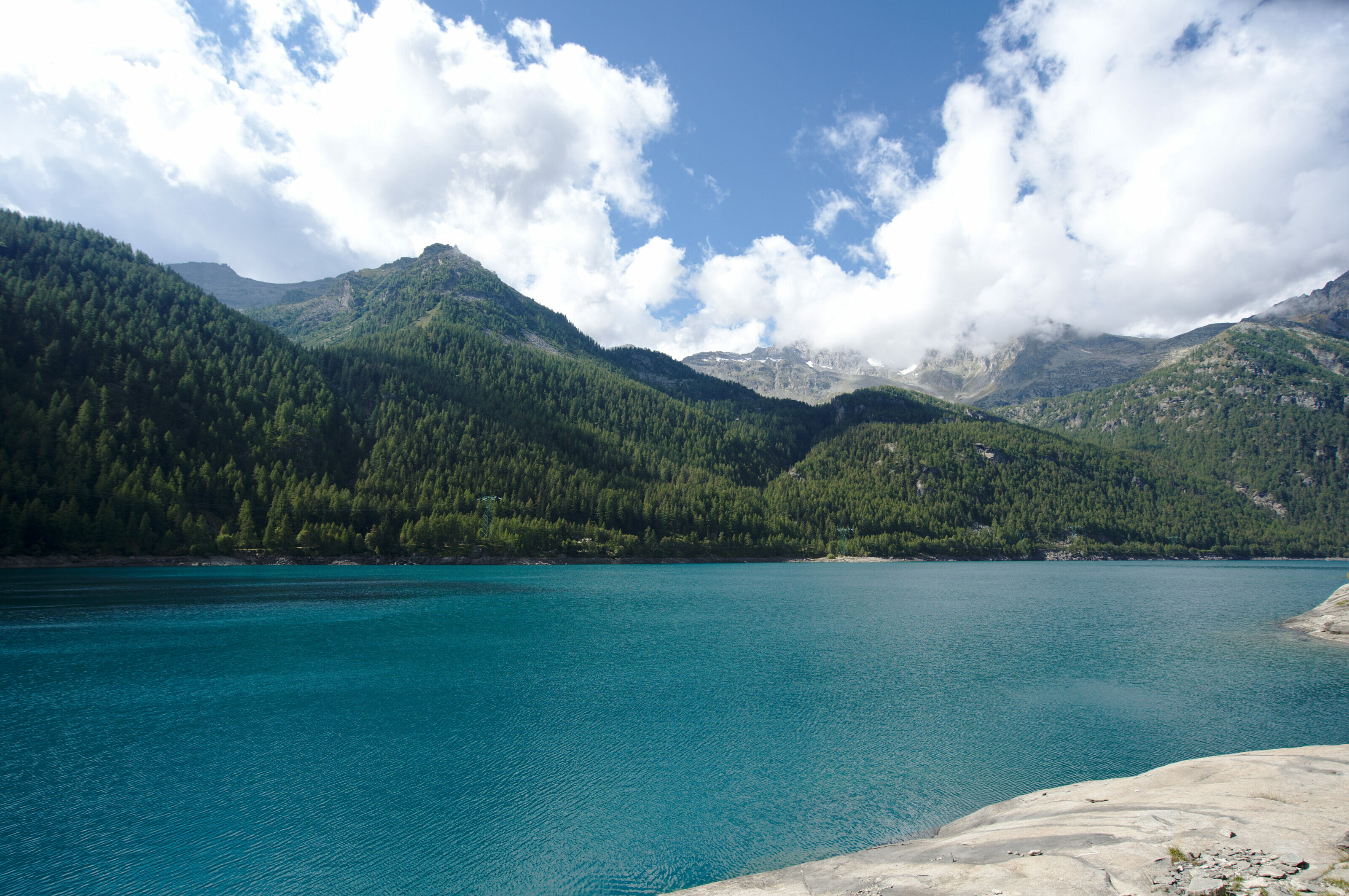
For our first hike in the Gran Paradiso Park we decided to opt for a nice loop in the direction of small mountain lakes: the laghetti of Bellagarda. We parked our car in the small village of Ceresole Reale, at the edge of the lake of the same name. It is in Ceresole that we find the most tourist infrastructures (hotels, stores, park office, etc.) and of course several parking lots from where to go hiking.
Our first stage took us to the dam. This artificial lake was created in the 20-30's and allows to produce electricity for the region . The lake is very pretty, but clearly, we have a preference for natural lakes!
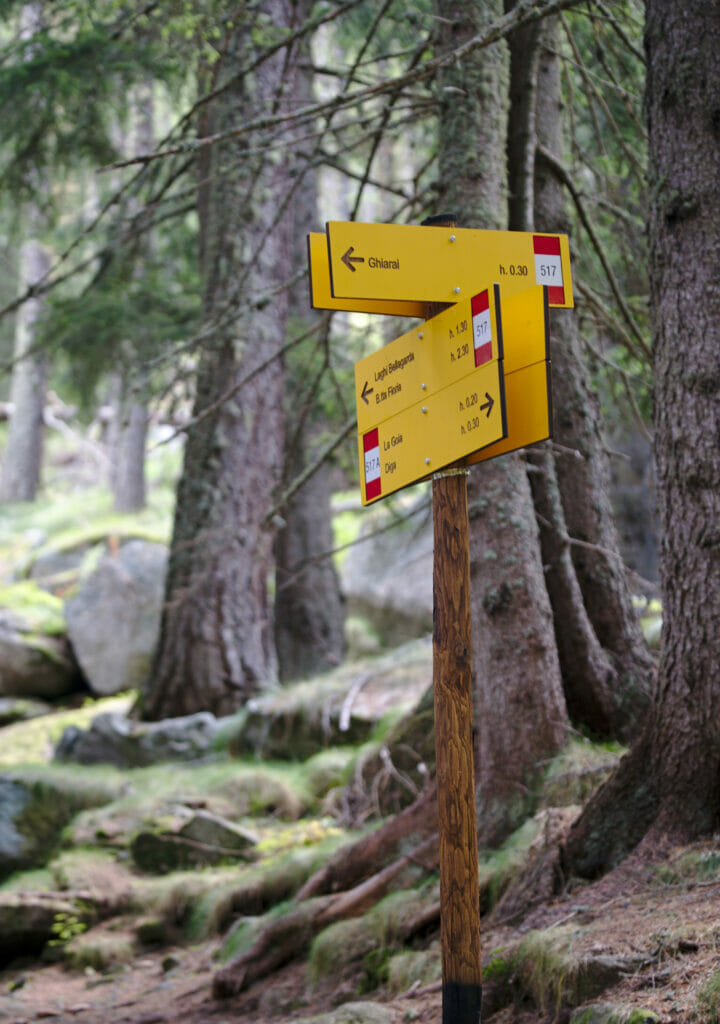
From the dam the hike starts gently in the forest before climbing further up through the moss. It's really very pleasant to walk, the ground was a bit like a Finnish track, but in a natural version 😉
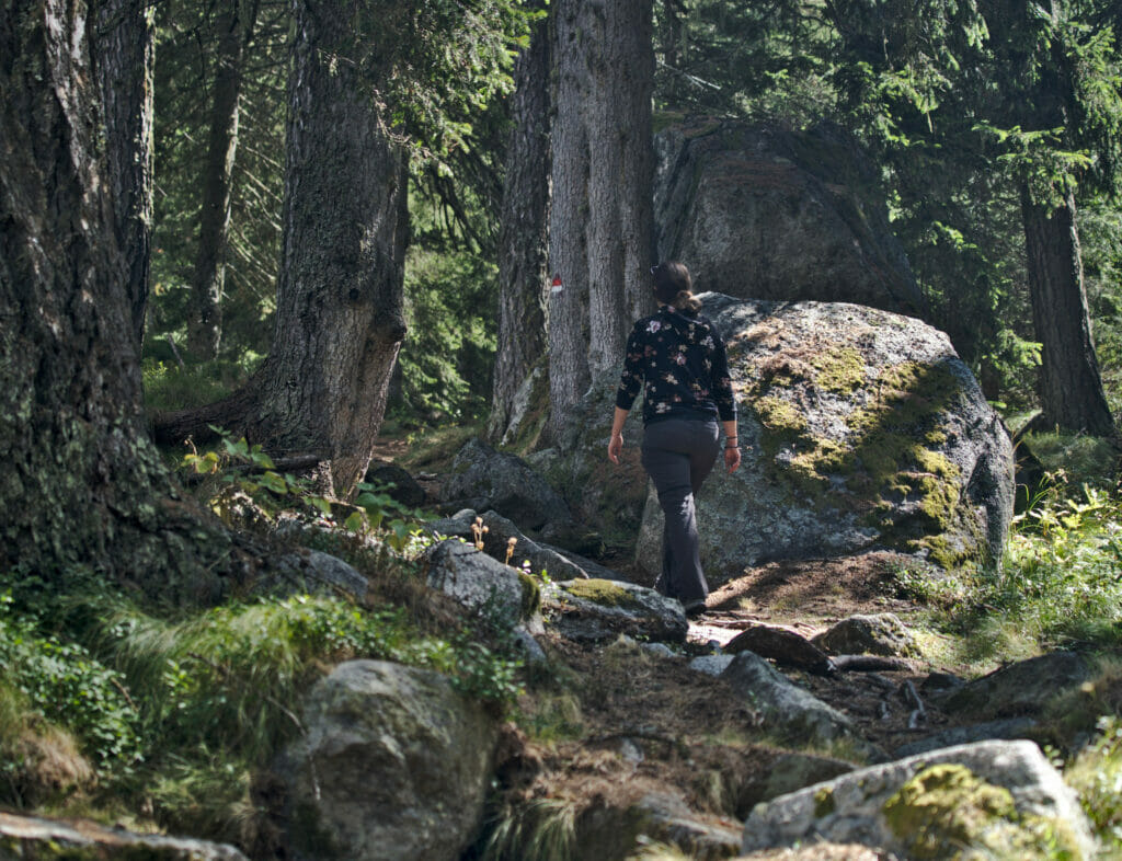
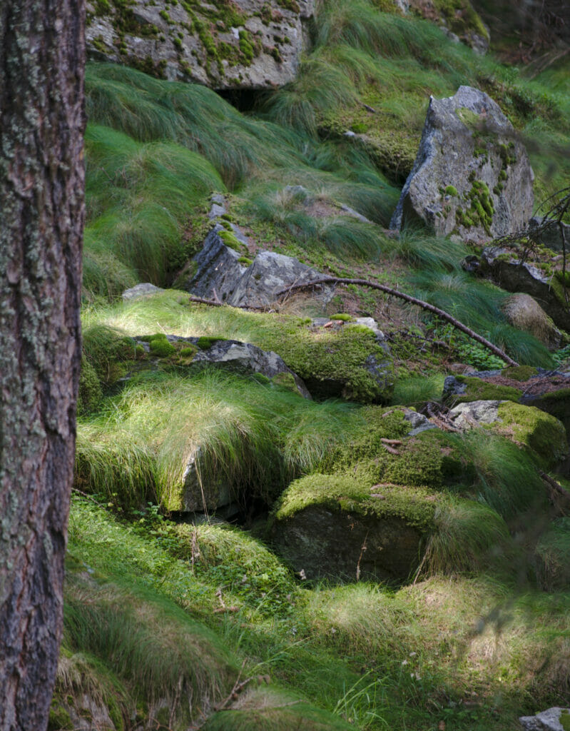
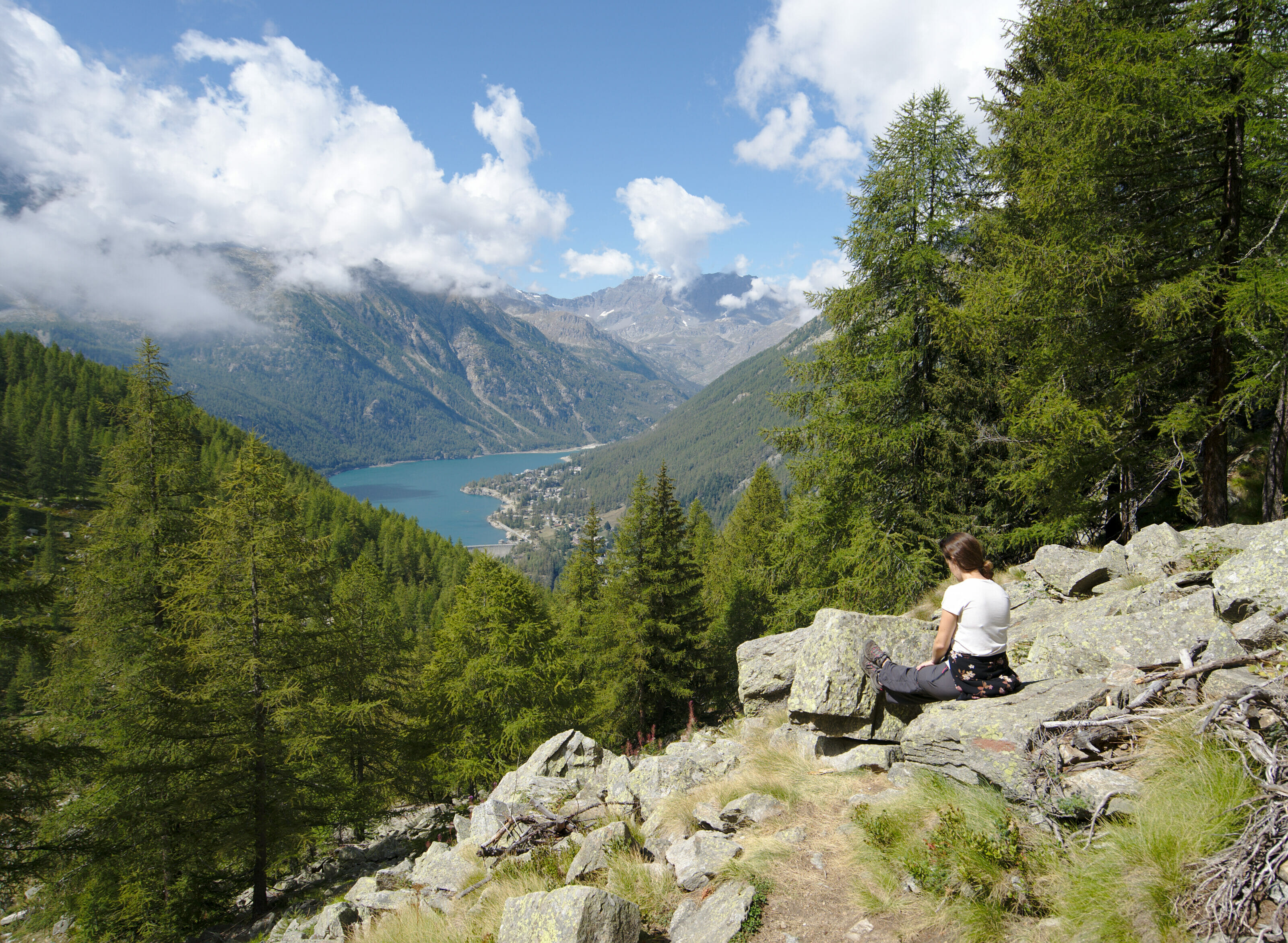
When we leave the forest we arrive at a first point of view which offers a panorama on the lake which we left earlier. At this place we are not yet completely up, but we get closer to it!
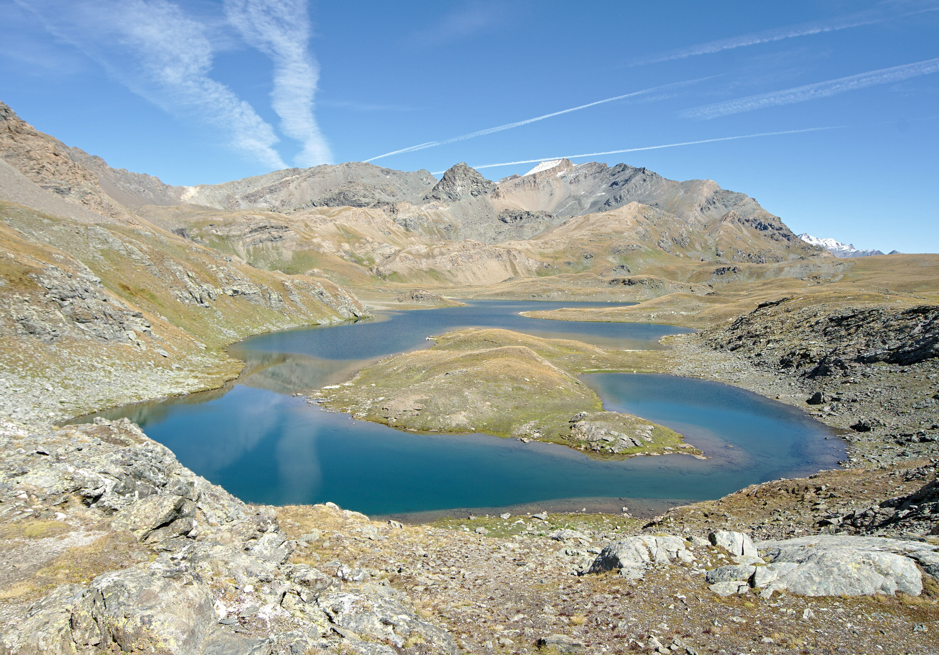
After hardly 2 hours of ascent we arrived at the level of the first small lake of Bellagarda. We then followed the path until we reached the last lake for a well-deserved picnic break.
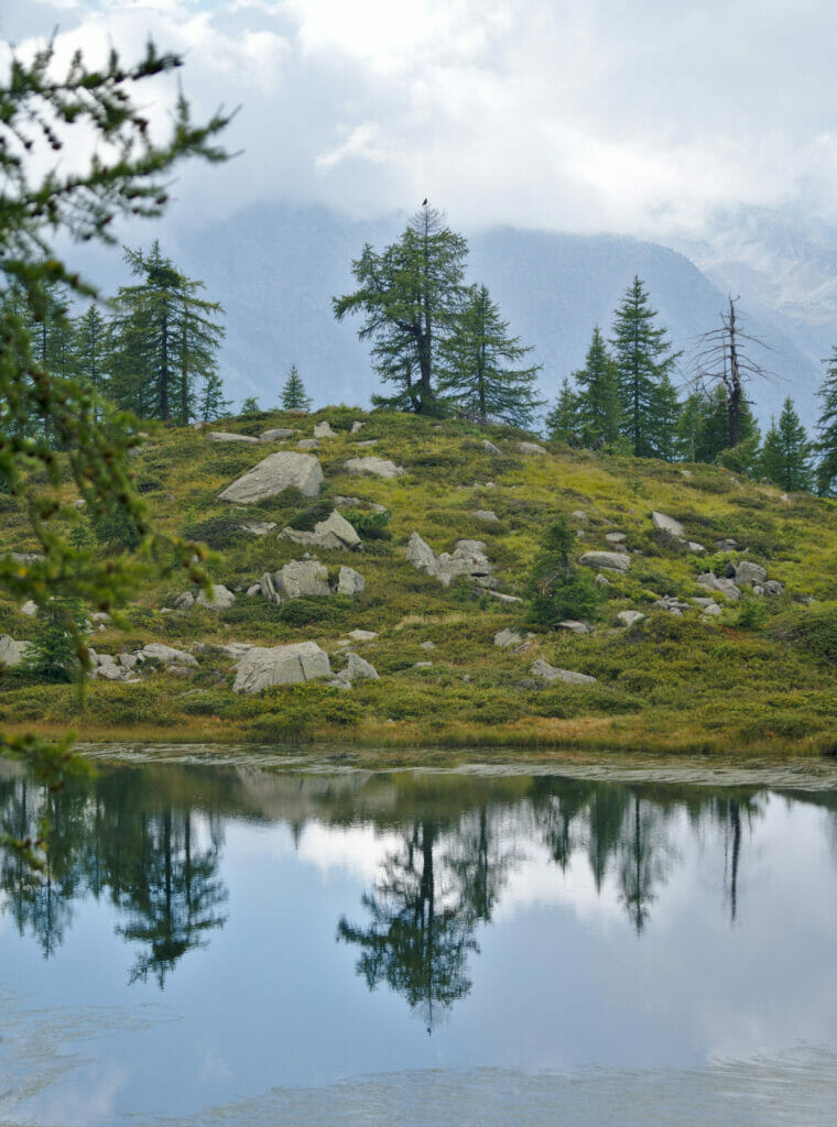
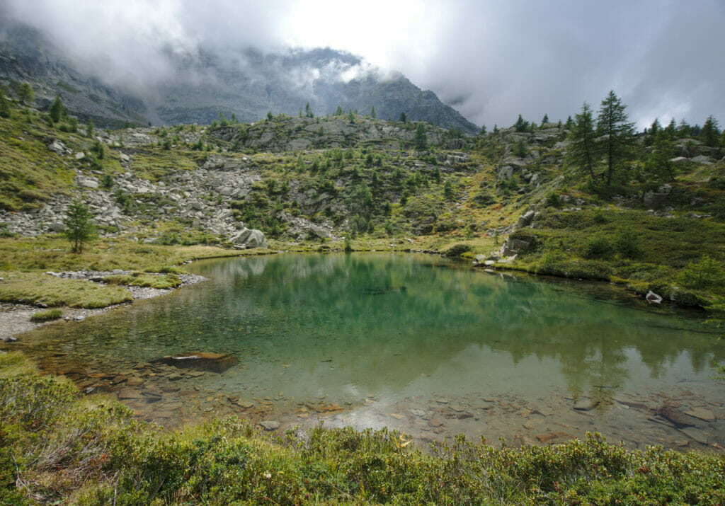
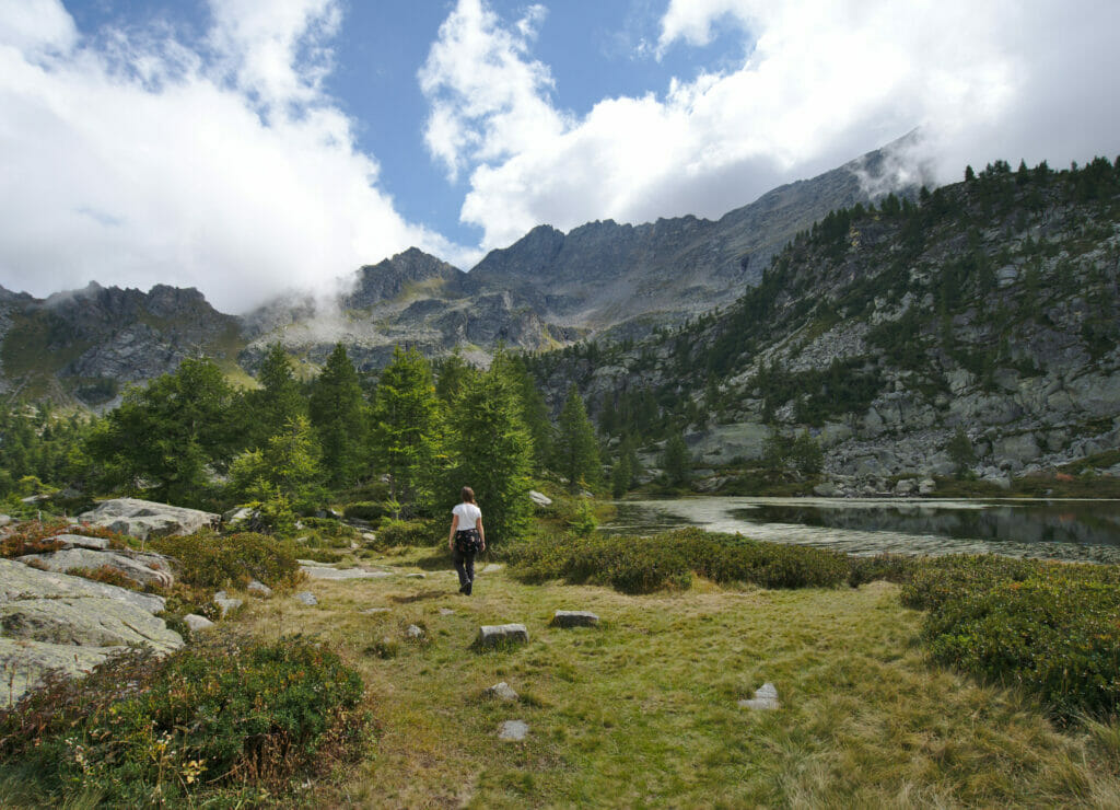
No sooner had we settled in than the clouds and fog began to join the party. Benoit absolutely wanted to go on to see the view from the pass (he had seen that from up there we could see all the lakes of Bellargarda with the lake of Ceresole in the background). Totally defeatist, I thought that with the fog we would not see anything anyway and I stayed by the lakes... #Laziness
Benoit being one of the eternal optimists he decided to leave in the fog in the direction of Bochetta Fiora. I will have to admit that he did well to listen to his instincts... He brought back some nice pictures of the summit when the clouds dissipated slightly!
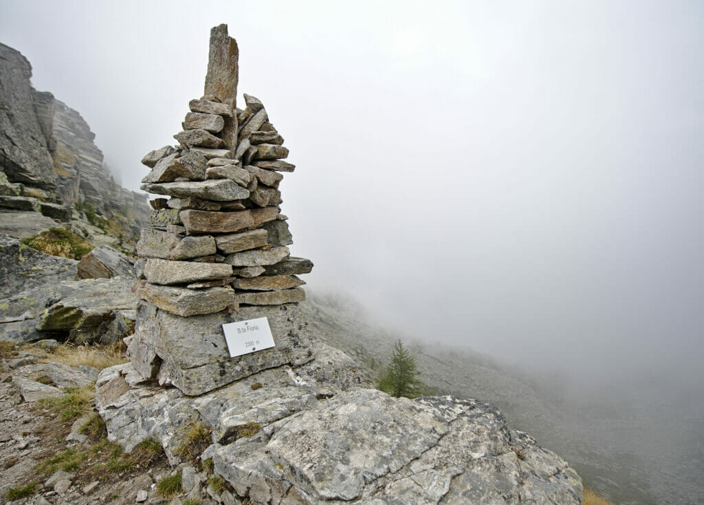
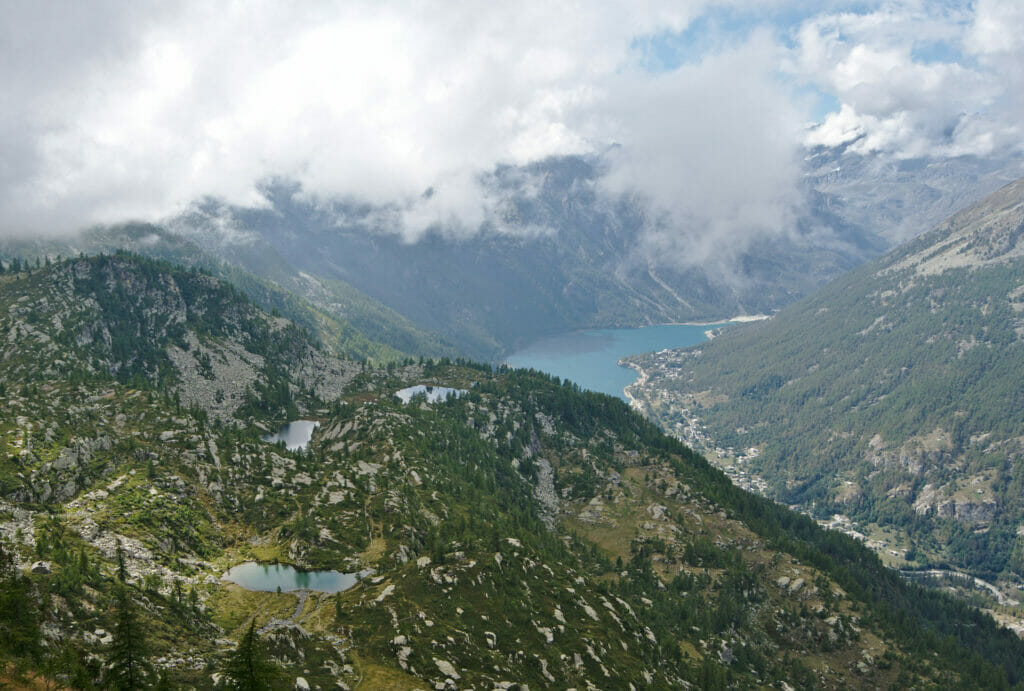
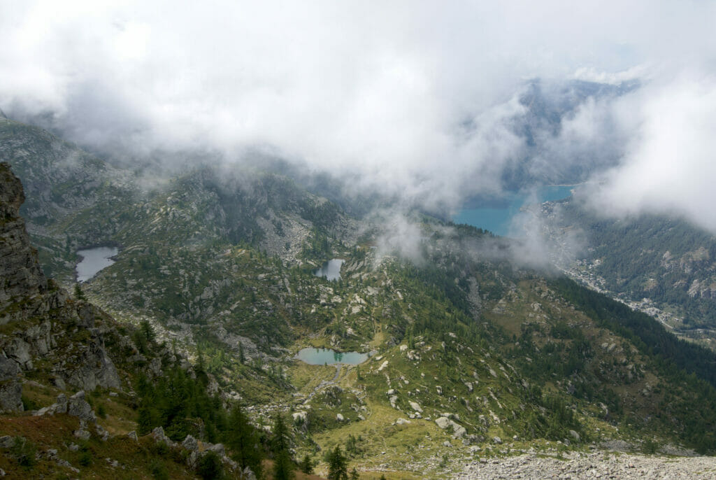
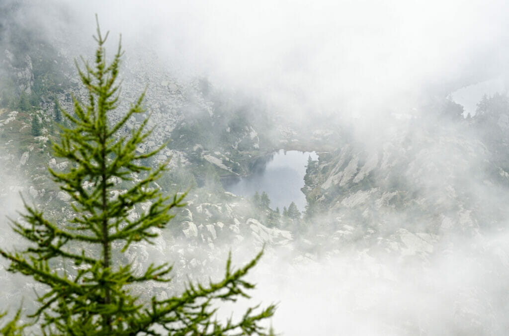
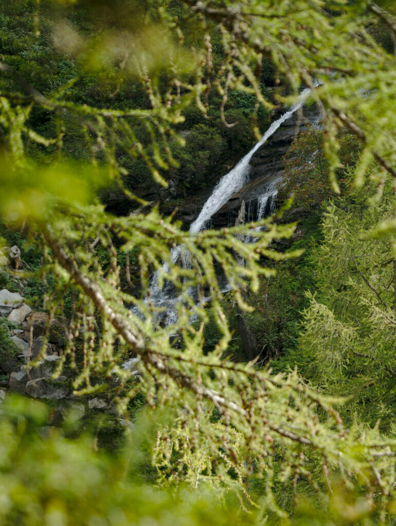
For the return we retraced our steps to the first lake, then we took a path on the right to make a loop. When we have the choice we like not to return by the same way, even if it implies to make a few more kilometers ;). And this was a great decision! This path was also very nice. Less moss and a little less this impression to be walking in an enchanted forest but on the other hand we had some pretty nice viewpoints on the valley and a waterfall.
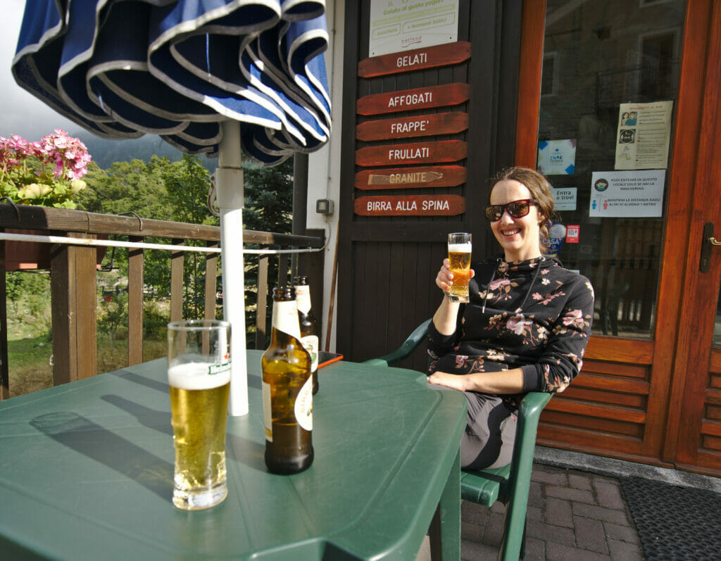
The end of the hike will have ended in the center of Ceresole Reale with... a beer of course! #Beerhiking
Infos
- Distance: about 11km
- Elevation change: 900m + and -
- Duration: Count about 4 hours for the full hike
- Difficulty: Easy/Average
Hiking Map:
The impressive ascent to the Nivolet pass
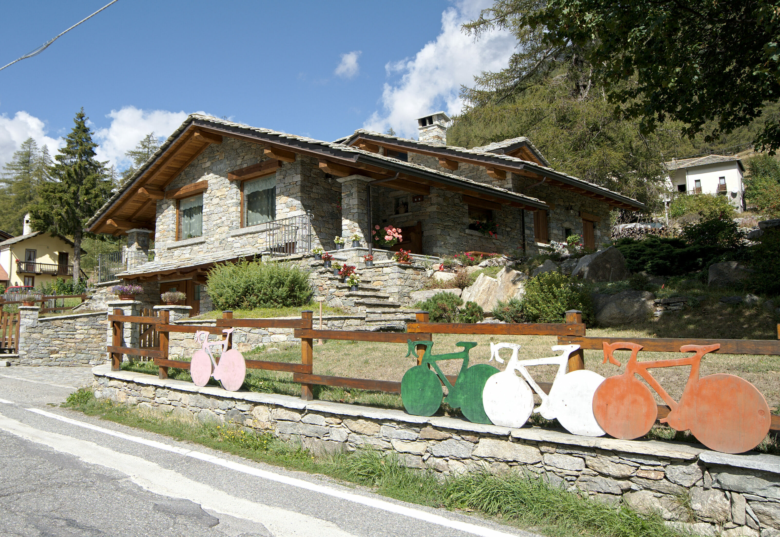
Does the Nivolet pass sound familiar? If so, chances are that you are a cycling enthusiast... If this name doesn't ring a bell, I can assure you that I was the same! 🙂 In fact, it's a mythical pass for cyclists, even if the famous Italian "giro" has never climbed to the top because the road stops shortly after the pass, but the giro has climbed up to Lake Serru in 2019 (7km from the summit).
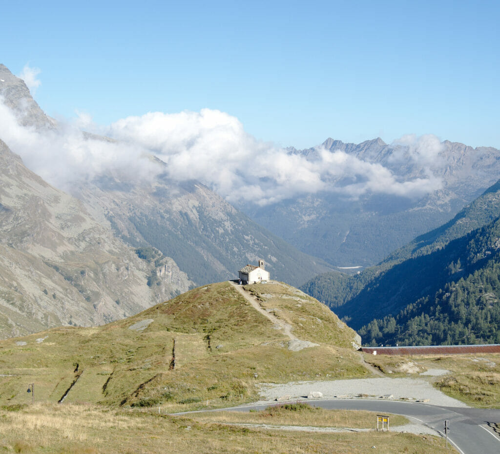
But if this road is so special it is mainly because it allows to reach 2650m! We will confess it to you, we feared a little bit to go up "so high" with our small car which is not exactly what you would call a mountain car. But in the end, we were hyper pleasantly surprised by the road. Certainly it climbs well but it is hyper well maintained and especially tarred up to the summit.
But beware, you'll have to pick your time of visit carefully. 😉 The access to the Nivolet pass is totally closed from Ceresole on between October and June because of snow. Moreover, it is important to know that during school vacations, the road is blocked from Lake Serru to avoid traffic overload at the pass. In these cases, there is however a shuttle bus that makes the connection every 30 minutes.
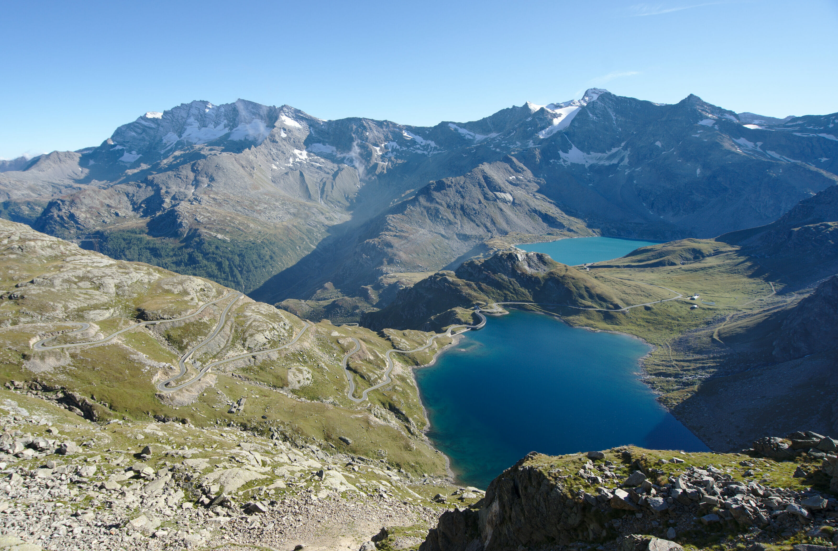
In September we were lucky, we were right at the time when we were able to get to the top with our car. And pfiouuuuuuuuuuu... We don't remember ever having driven such a beautiful road with our little car! If you are here in the right season we REALLY recommend you to come and have a look!
Hiking in the Gran Paradiso: Punta Basei
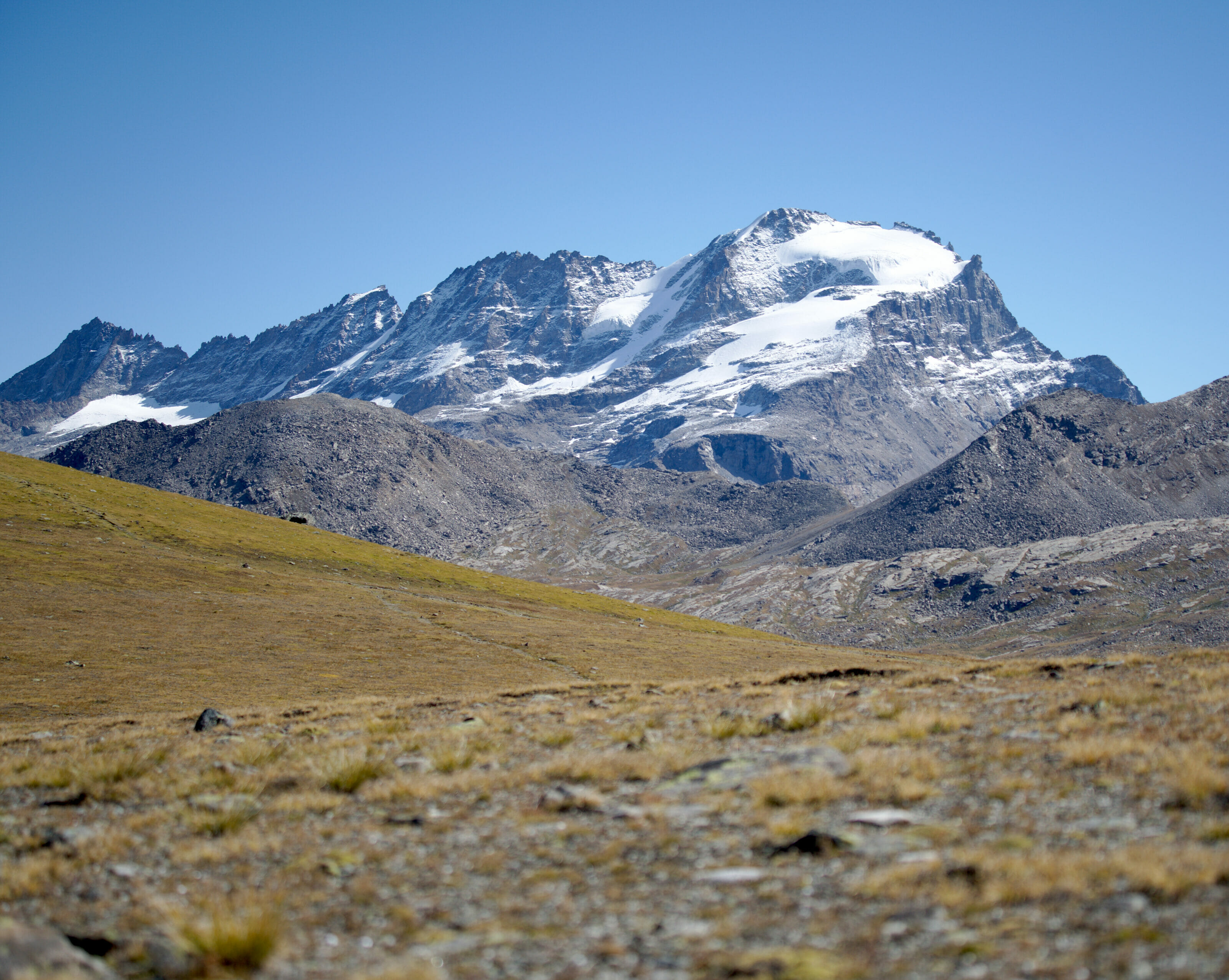
When I married Benoit, I took a lifelong subscription to viewpoints. No matter where Benoit goes, he will always try to find the highest point where he can climb! Luckily for me we only had one day at our disposal otherwise I think he would have wanted us to go up the Gran Paradiso and its 4061m (it turns out it's one of the easiest 4000m in the Alps).
In short, when he saw that we could climb to 2600m by car at the Col du Nivolet, this stage was almost already "validated". What's next? Well, he started looking for the highest point that could be reached in a day from there... That's how he arrived with his suggestion to climb to the Punta Basei, a "small" summit which is not too difficult at 3338m.
The most beautiful lakes in Italy? Lago Rosset and Leita
We parked our car next to the Savoie hut on the shores of Lake Nivolet. From there, we hiked in the direction of lakes Leita and Rosset. Many hikers come in the area to admire these wonders of nature ... And pfiouuuuuuuuu we understand largely why!
Mountain lakes are rarely ugly, but there ... No words can describe this!
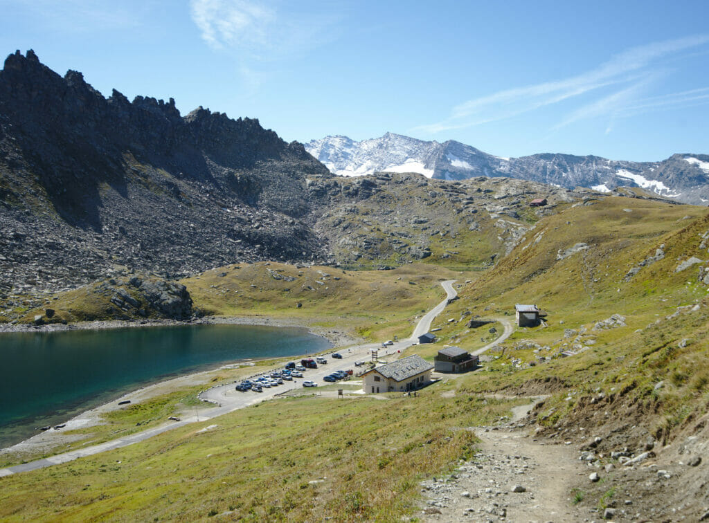
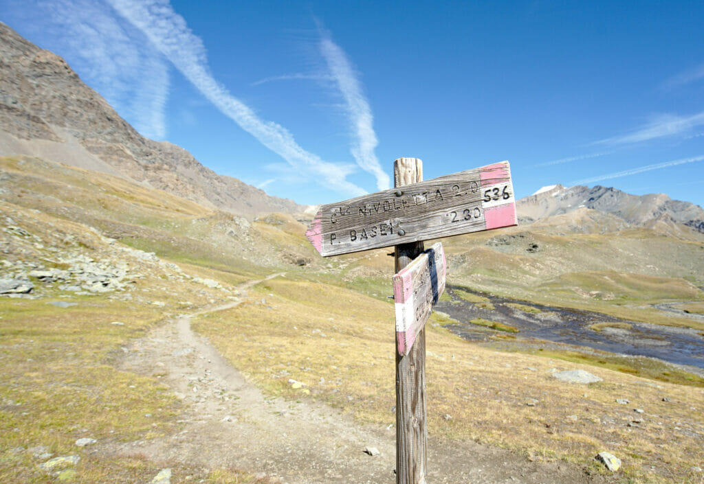
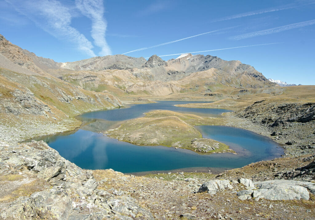
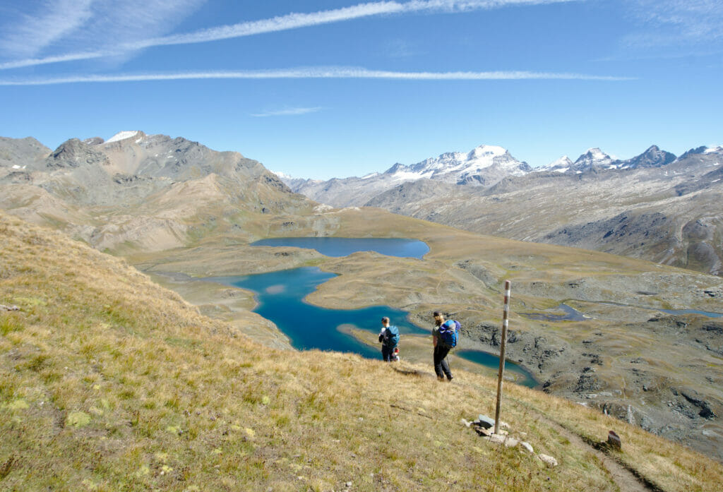
Getting up to Punta Basei
It's from the lakes that the serious stuff starts! It's funny, because from below we could see the path that goes across the scree towards the summit. The slope is very soft, but we also notice that this "soft" path is a quite bit higher up.
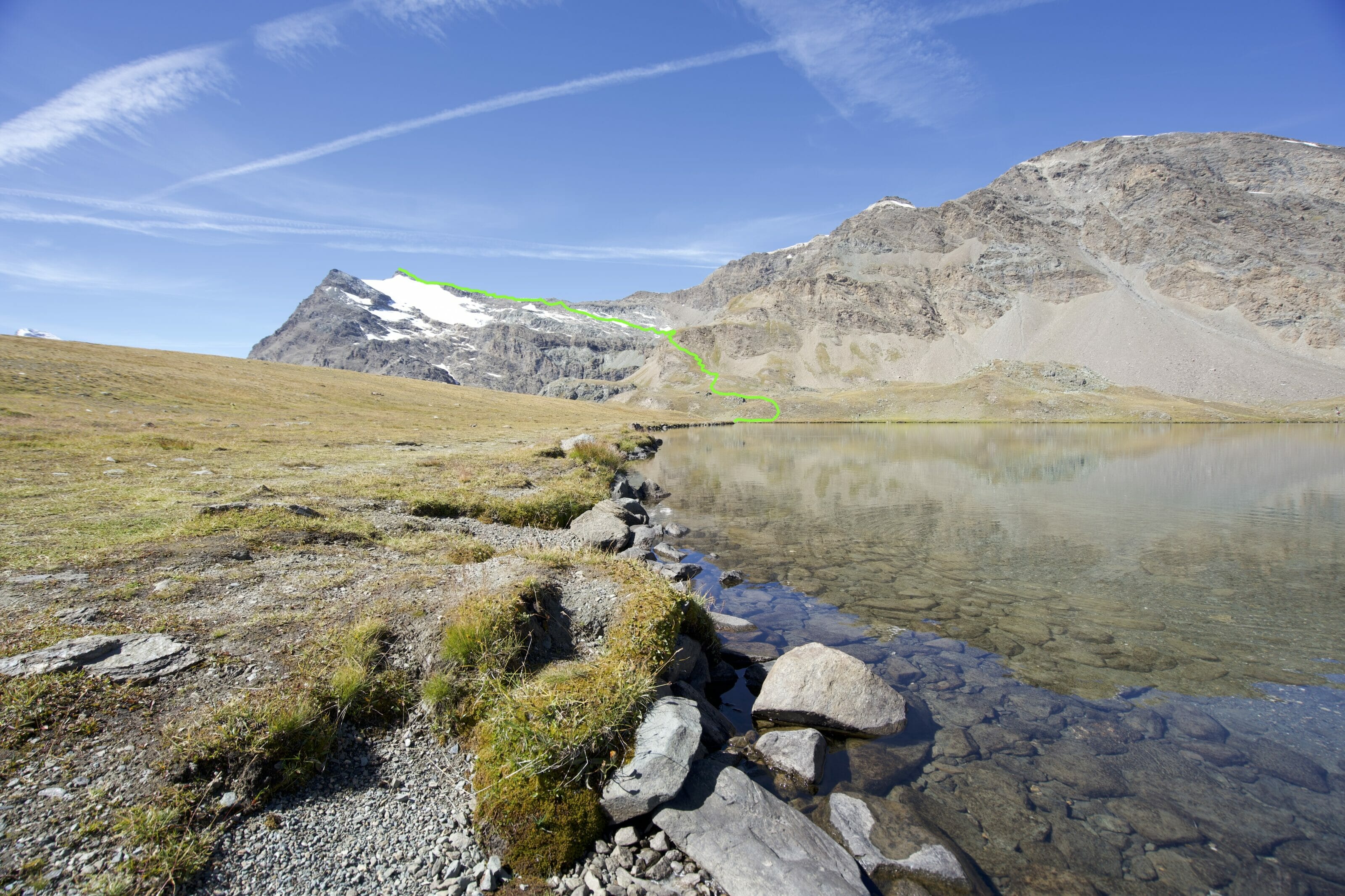
Call it instinct or experience, I don't know, but when Benoit tells me "don't worry, it's all right, there's just this TINY TINY part which a little hard and then it's easier" I tend to have a certain mistrust... But for once I have to say that he was right! There is indeed a slightly steeper passage after the lakes but it's equipped with cables and it's really very well maintained!
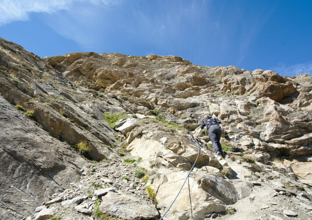
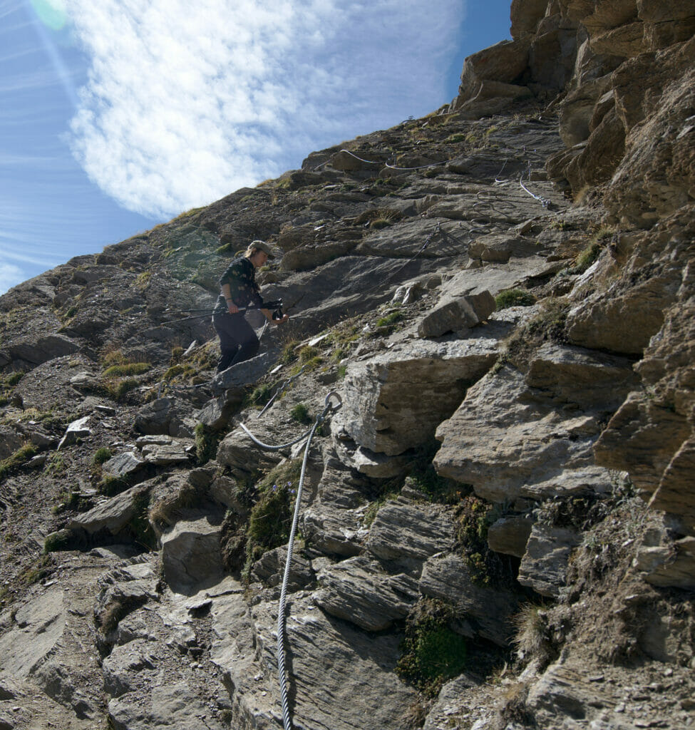
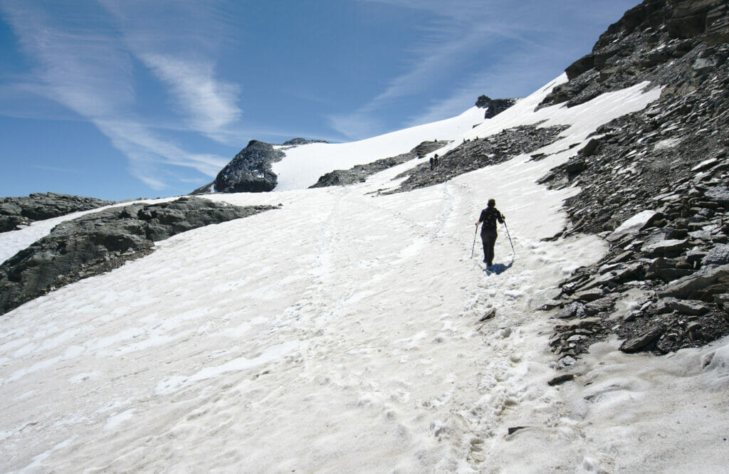
From this point on, the climb is really smooth! The large meadows give way to rocky landscapes and the last few snows of the season. This terrain is not the easiest but I don't know, I always found it very exhilarating to walk in such a scenery. A bit like a feeling of being on the moon!
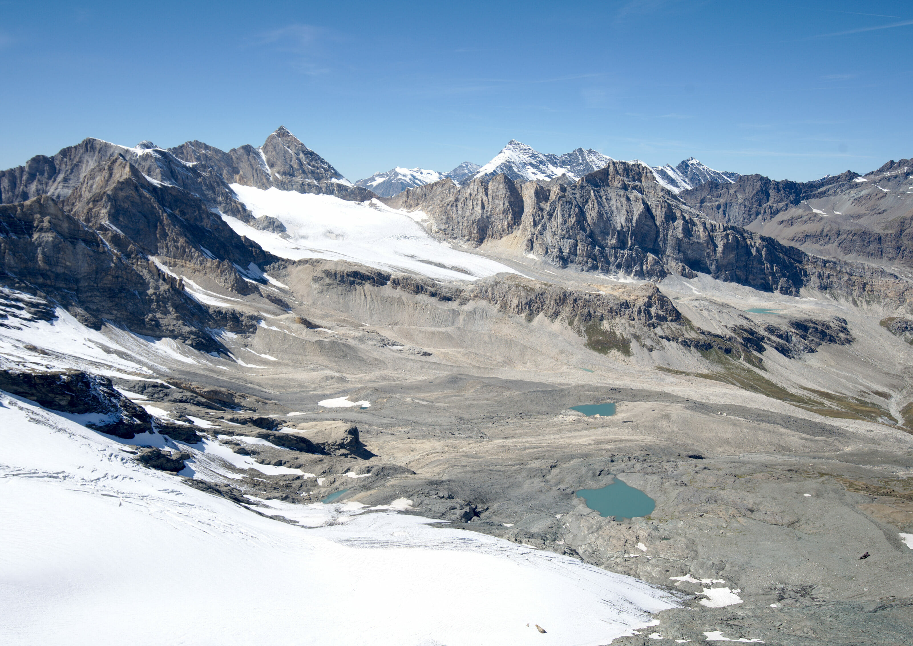
After a small hour of climbing we arrive at a first pass which already offers a breathtaking view on all the small lakes of the Gran Paradiso National Park with of course the Gran Paradiso (the summit) just in front of us. In the distance, we can see a large part of the Alps chain with, of course, the Mont Blanc that protrudes just behind the Valle d'Aosta. Pfiouuuuuu it's beautiful!!!!
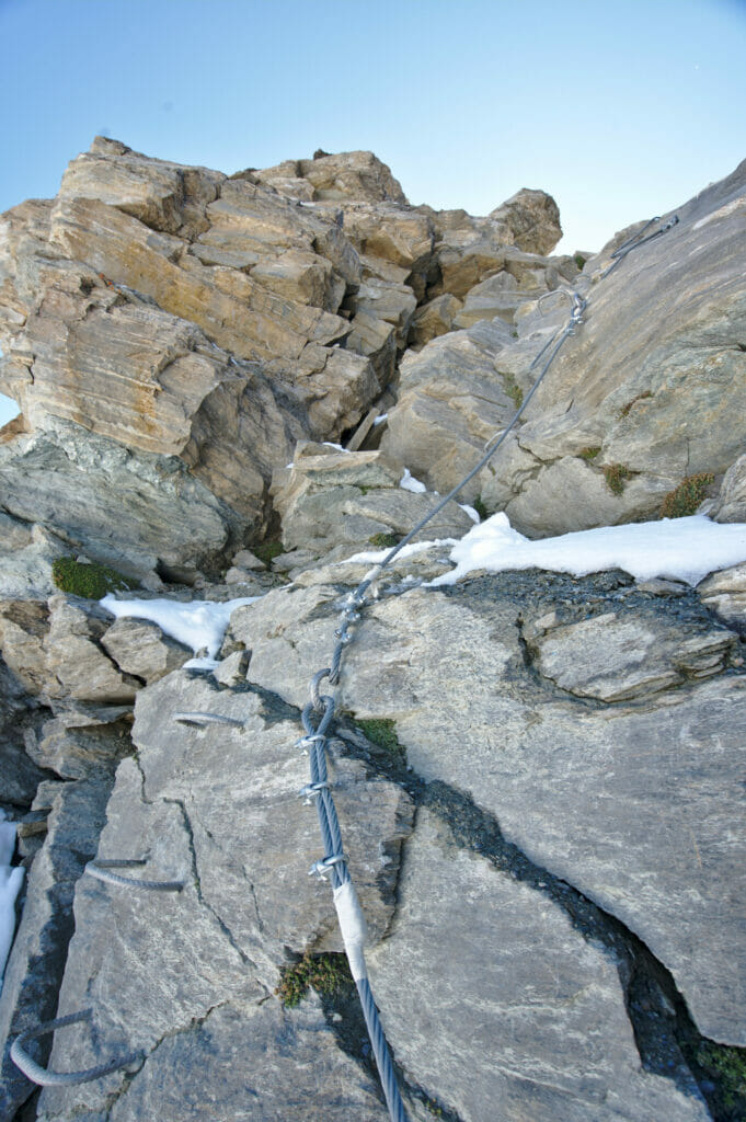
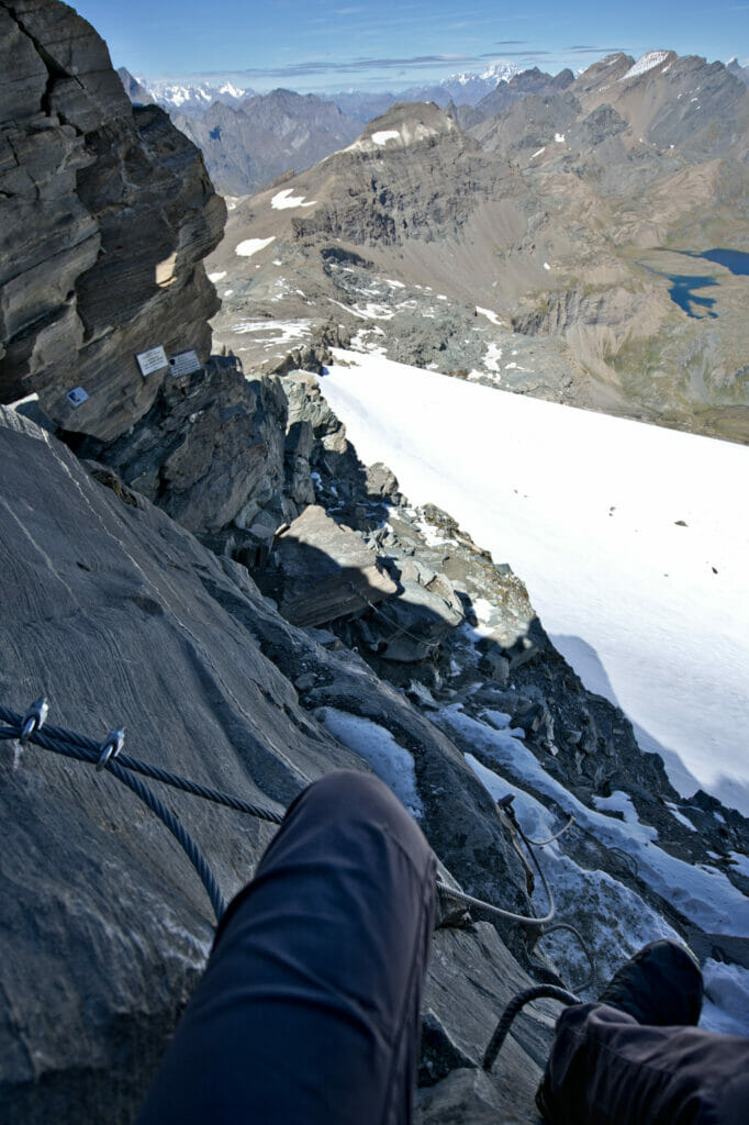
The very last part to get to the top of the point is a little more "tricky". The climb is equipped with cables and ladders and it is more like a mini via-ferrata than a hike. Not being especially comfortable with the void I let Benoit climb the last meters alone and I waited for him 30 meters below... The ascent took him less than 10 minutes, but strangely I waited for him almost an hour. 😉 At the same time, with the panorama he had at the top, I understand that he was not in a hurry.
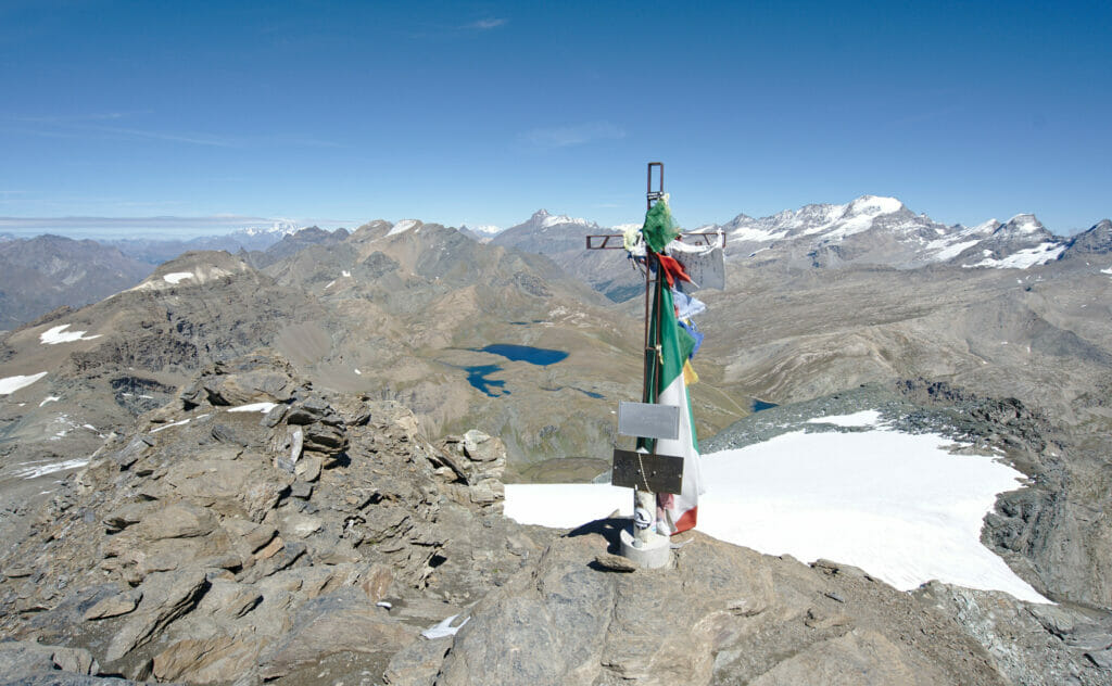
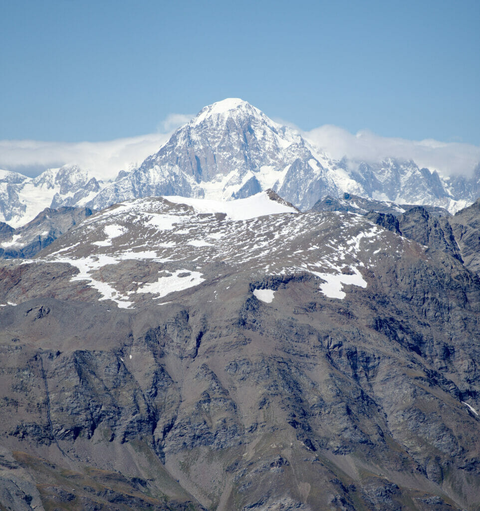
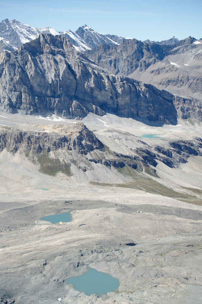
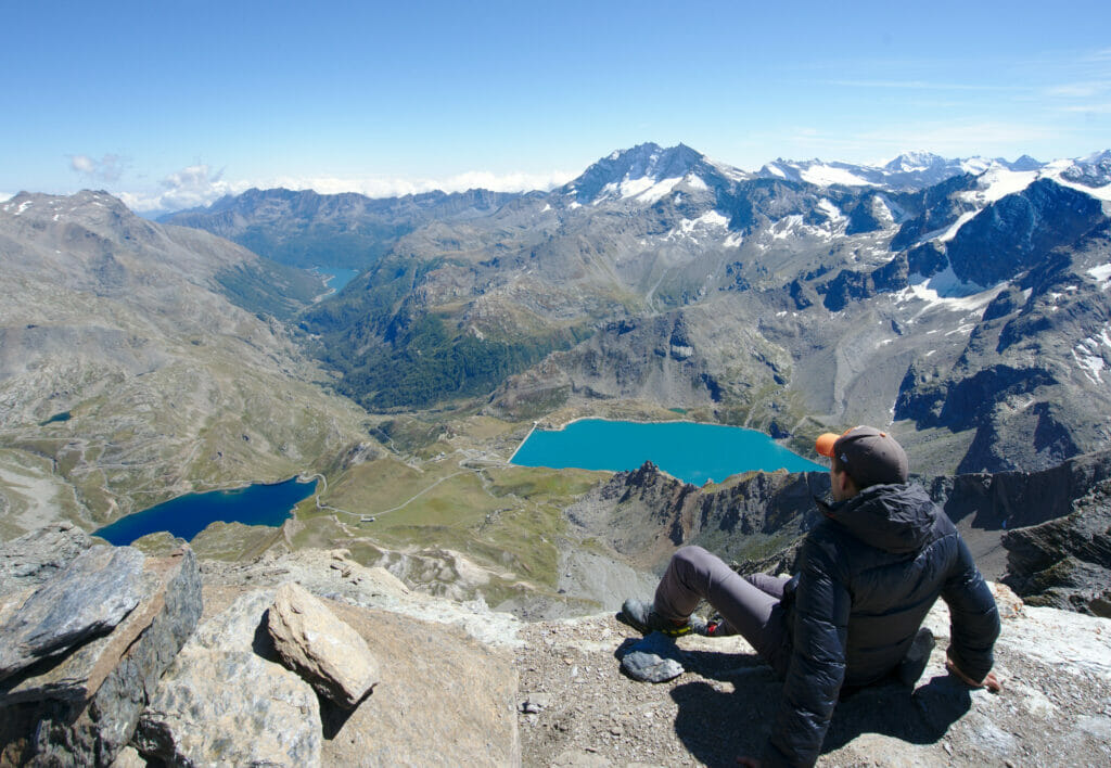
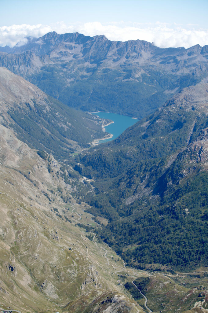
And here are some pictures of the most impressive tip to reach the top:
Going back to the Nivolet pass
From the punta Basei, the return journey is the same as the outward journey. On the topo maps we had spotted another path that seems to go down by the other side, but once there we quickly understood that this option was not a good idea (or only for more experienced hikers equipped with crampons). At the time of our passage there was clearly still too much snow to consider this alternative route.
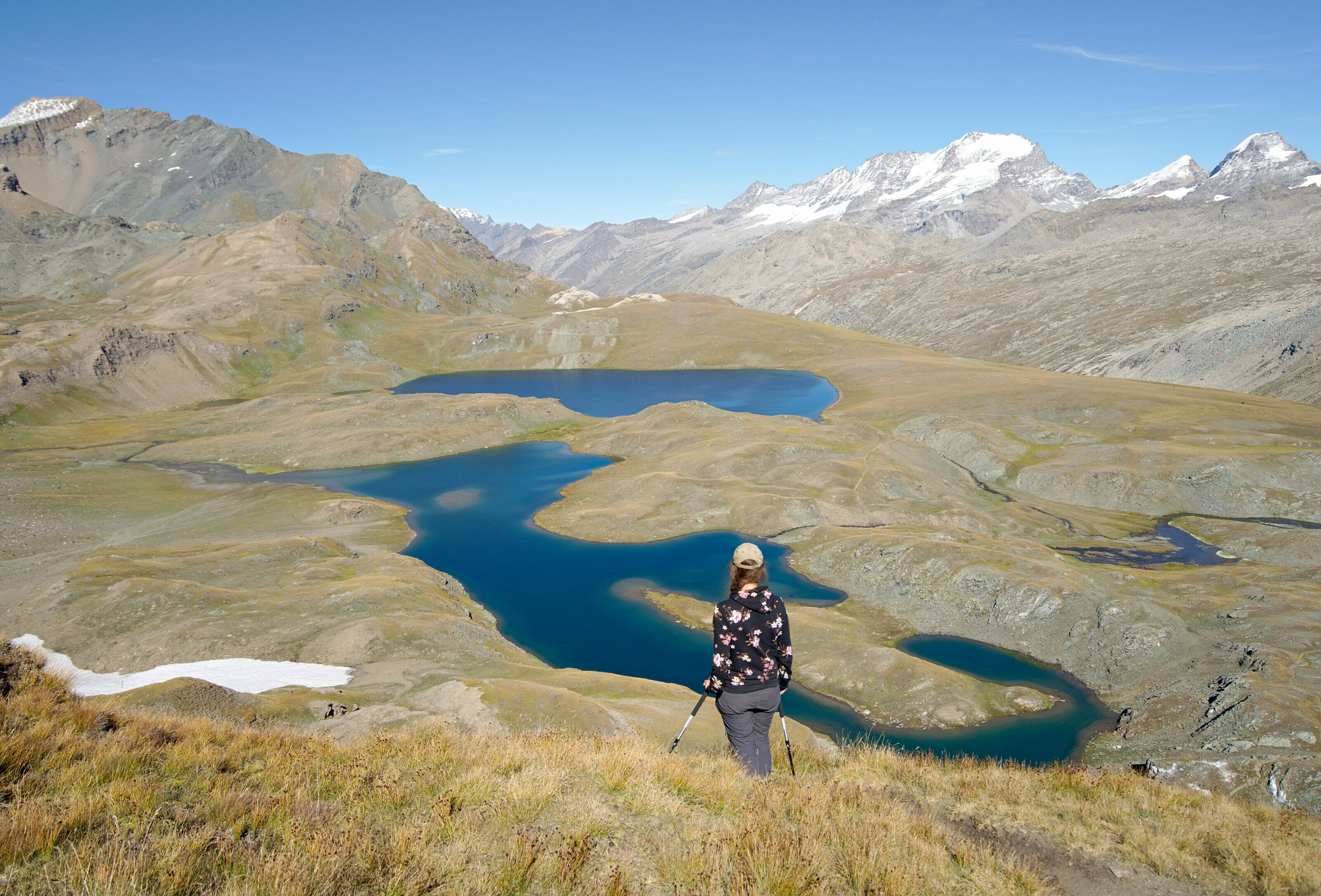
Once at the level of the lakes we simply made a mini variant more direct to return to the car, but you'll see, there are plenty of different paths depending on whether you want to extend the ride or not.
Info
- Distance: about 10km
- Elevation gain: 750m + and -
- Duration: It took us 4h30-5h to do the loop with a good break at the top. (Walking time about 2h30 for the ascent and 1h45 for the descent)
- Difficulty: Medium-difficult. A steep passage on the way up, then the rest is really accessible. The summit itself is more difficult, but it is only the last 50 meters, the view just below the more difficult place is already really nice too 😉
IMPORTANT: This hike goes up high, very high even (3338m)! Make sure to ask about the snow conditions. By going there at the beginning of September we had no problems with the snow, but we were lucky.
Hiking Map:
Practical information about Gran Paradiso and Piedmont: Getting around and accommodation
To finish this article we wanted to make a small point on the practical information to visit the region. The first thing would be transportation. For our part we were by car and we will admit that it was very practical to go to the different starting points of the hikes but also to choose an accommodation which is not in a city.
Afterwards, if you don't have a car it doesn't mean you can't come here, far from it! In fact, it's rare enough to be noticed, but all the places we went to are accessible by public transportation! For example, to get to the Col du Nivolet or to Ceresole Lake there is the 5137 line. (See timetables here). Of course, buses don't run all year round and you have to check the timetables, but by preparing your trip in advance it is possible! More info on the park's website here.
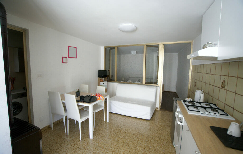
For accommodation there are really many options in northern Piedmont, both in Ivrea and in Val d'Orco. It is possible to sleep in hotels, campgrounds, bed and breakfasts or huts. If you want to see the "official" list, the site of the park has created a listing with all the "approved" accommodations over here. For our part, we have, as is often the case, chosen to take an apartment.
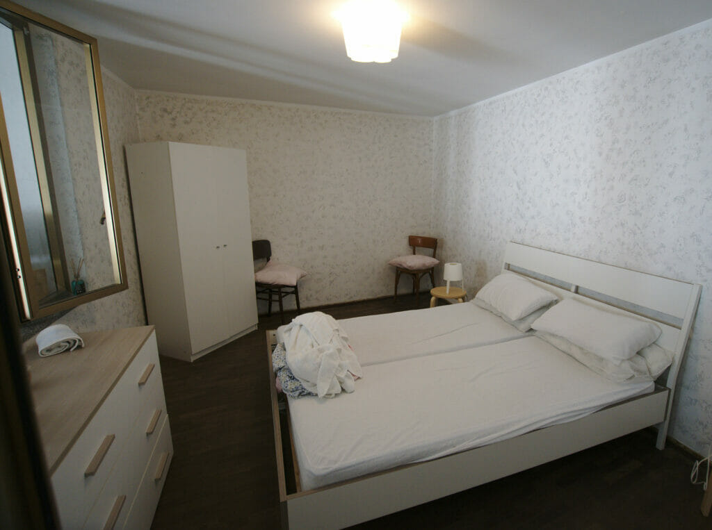
Located in the commune of Locana, it is in a mini hamlet 2-3km from the village. It is probably not the most "glamorous" address in the valley but it was not very expensive, the apartment was impeccably clean and the owner and her family are adorable.
PS: If you come to stay here, we suggest you to have dinner at the pizzeria Da Tizziano (Frazione Roncaglie, 7, 10080 Locana). From the apartment we walked there (we took the road across the river because it's a bit dangerous to walk along the main road) and it was delicious!
By the way, to help you find your way around the Val d'Orco and Ivrea we have put all the points we mention in the article on this map:
Note: The dots in pink are places that we had spotted in our research. Unfortunately our 2 days of hitch with the car have limited us a little bit and we didn't have time to see them... If you have other spots to recommend in the valley don't hesitate to tell us about them and we can add your advices on the map!
That's it for today! We hope you enjoyed this great article on northern Piedmont and that you now have lots of great ideas for hikes in the Gran Paradiso Park! 🙂
Note: Our hotels are affiliate links. By using our link to make your reservation you don't pay anything more, but we will receive a small commission. This trip was 100% made and paid for by us and is not sponsored or in partnership with the platform.
Pin it

Join the discussion