After being already pretty amazed by the pink Granite coast and southern Finistère, we kept a choice piece to finish this trip to Brittany. As we have gained a lot of weight with all the delicious Breton crepes we have eaten, we thought that a good hike to finish this trip wouldn't hurt us. 
And since we were right in Finistère, what could be better than to walk around the Crozon peninsula following this famous GR34. It must be said that the Crozon peninsula, located at the western end of Brittany (that's why it is also called "the end of the world"), is renowned for its wild coast and nature. It is therefore the ideal playground to eliminate some pancakes before returning to Switzerland.
On the blog, you'll find all the maps in interactive format via the AllTrails app (the one we use daily). If you want to download the trail of a hike to have it with you (on maps.me, your connected watch, another hiking app) --> you will find a download link above each map.
To download, simply go to AllTrails and if you don't have an account yet, create one (it's free). You will then have access to more than 30 formats to download our tracks and import them into the application of your choice.
If you want to access the maps offline from AllTrails, then you will need to upgrade to an AllTrails+ account (which we also have). By going through this link, you get a 30% discount (1.75€/month for one year instead of 2.5€/month).
GR34: Tour of the Crozon peninsula on the sentier des douaniers
So the sentier des douaniers does not stop at the Crozon peninsula. In fact it runs along the whole Breton coast for more than 1800kms! Well this time, we won't have time to do the GR34 along its entire length. But it's not a big deal.... If we like it, we'll come back for Fabienne's 34th birthday 
So for more flexibility, we decided to leave our car in the village of Saint-Nic, which is located on the Camaret-Quimper bus line. That way, in case of bad weather or acute laziness, we could always take the bus back to the car. It must be said that the complete loop is something like 175kms long and that we were not sure to finish it.
Day 1: Saint-Nic to Crozon
After parking the car on the beach of Saint-Nic, we start on the GR34 towards Crozon. At the beginning of the day, we stick out our tongues a little because we are no longer used to carrying our big bags with all the camping equipment. It must be said that our last big hike over several days with tent, dates back almost 1 year (we had done 4 wonderful days in the Gorges du Verdon if you are interested).
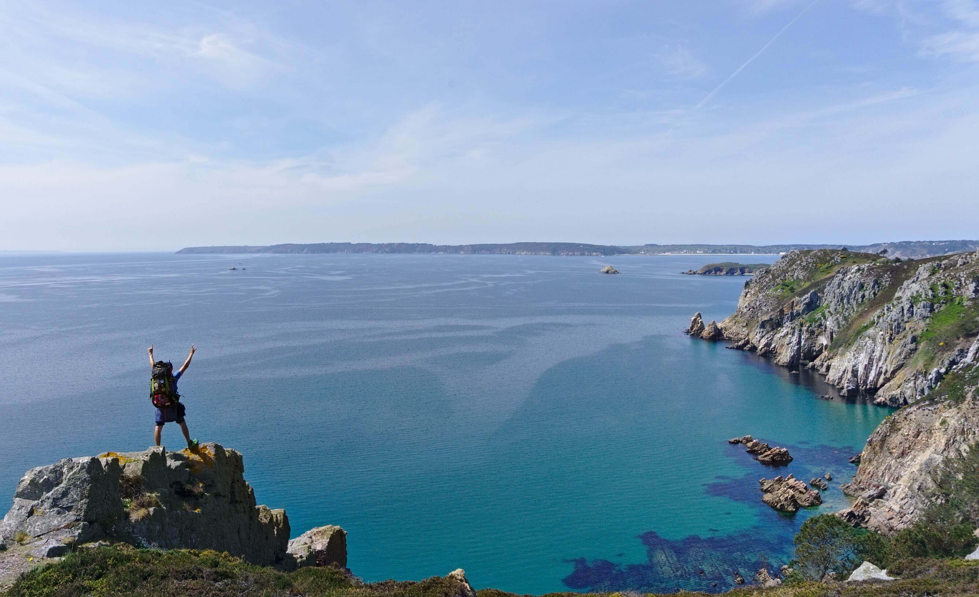
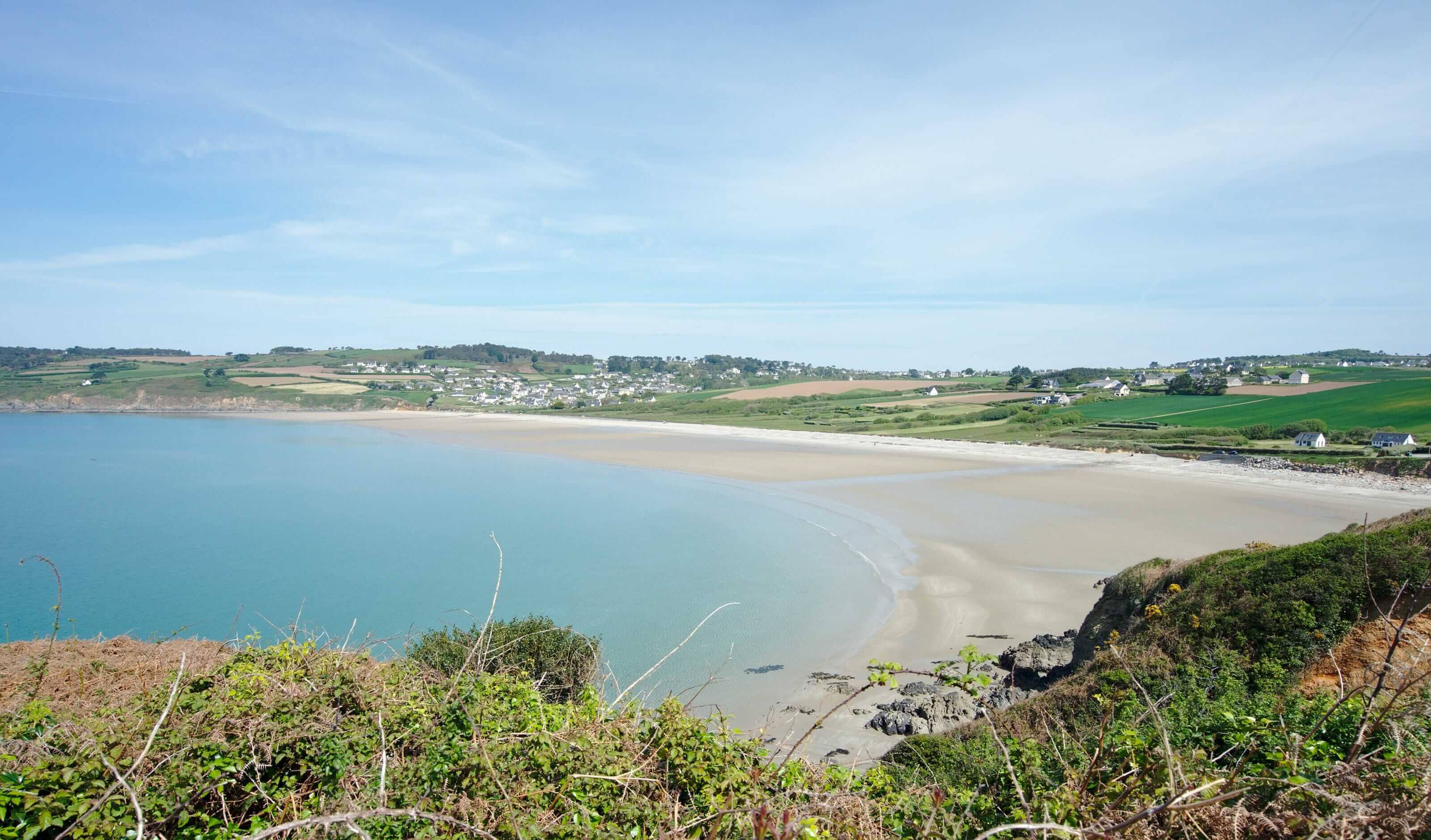
Well, we quickly forget about the backpacks because the landscapes are simply too amazing. We go from creek to creek along the coast. We hallucinate about the color of the water which is emerald green. To top it all off, spring is in full swing and the gorse is in bloom. In short, we can't stop taking pictures and any pretext is good for a little break to contemplate.
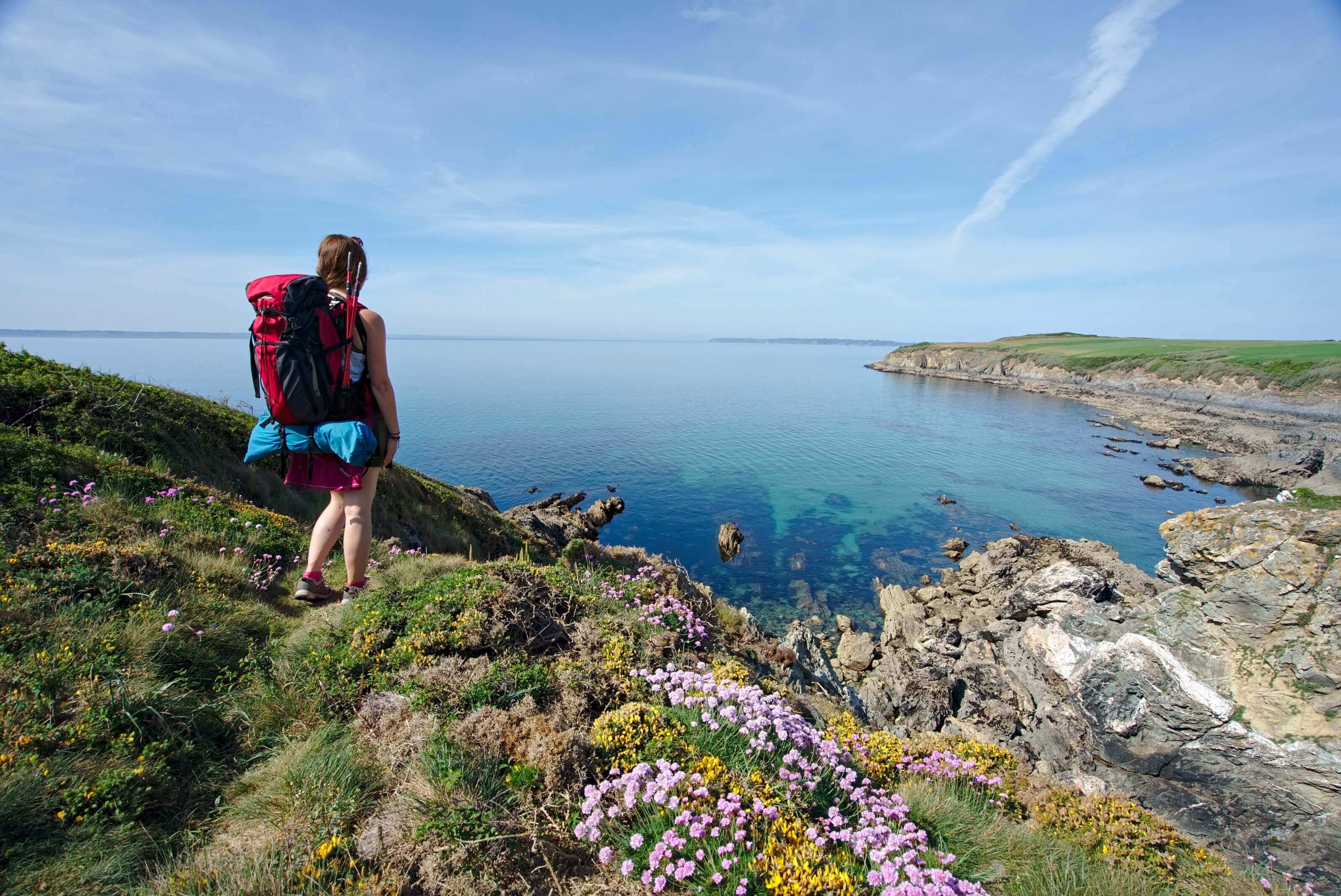
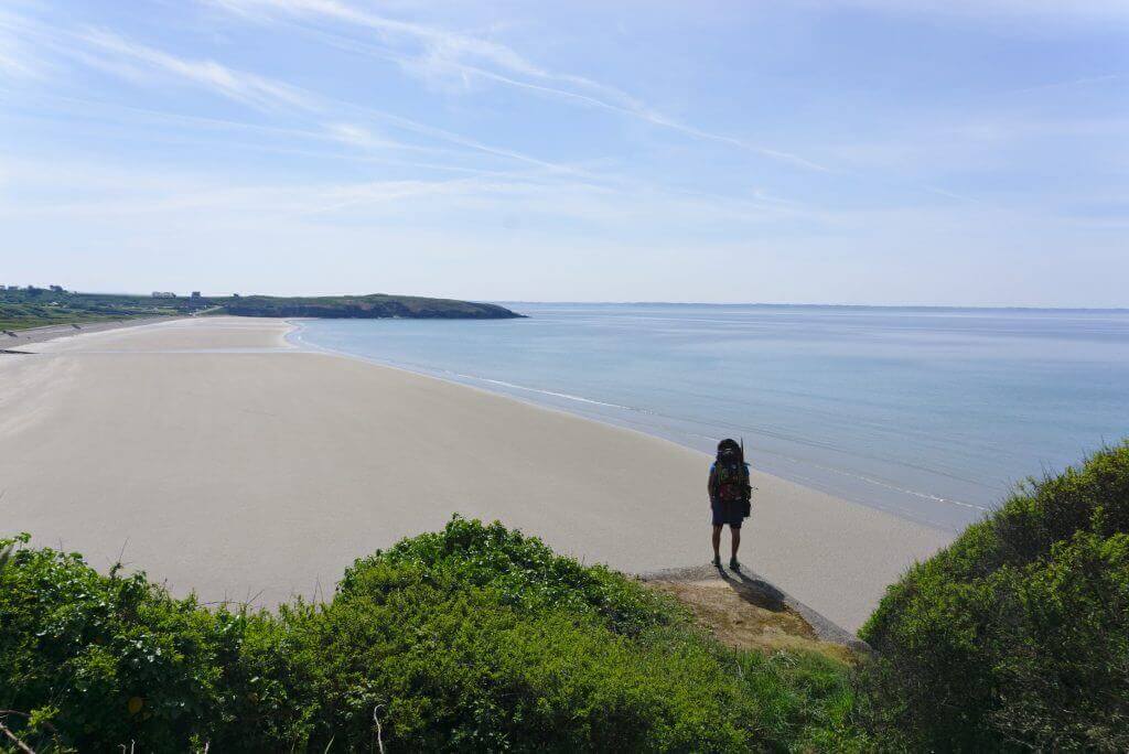
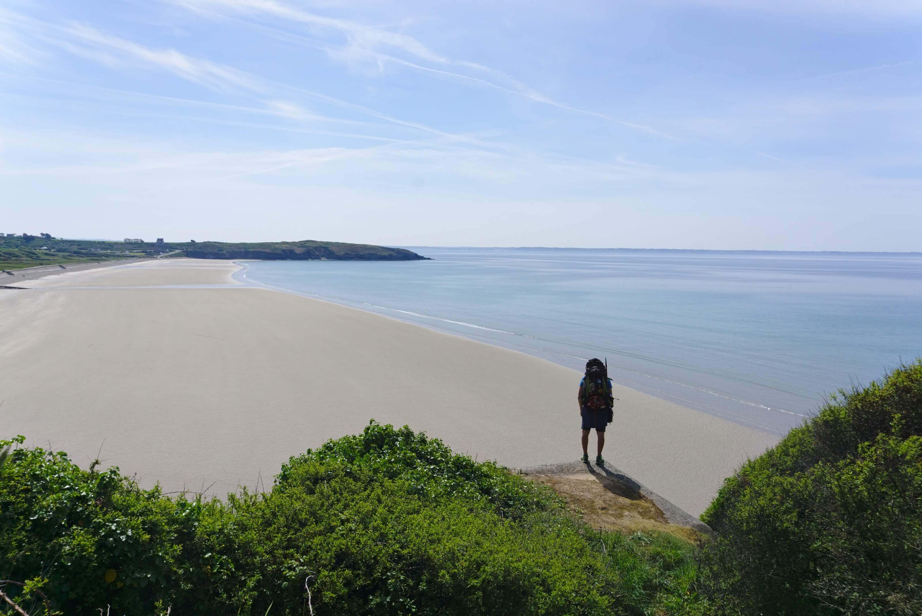
We continue to walk in this little paradise until the next highlight: the beach of Trez-bellec. We arrive on the beach at low tide and we are simply alone in the world. Not a single person around and we have this whole stretch of sand to ourselves. It's just a dream and we start to believe that it will be like that during the 4 days of the hike.
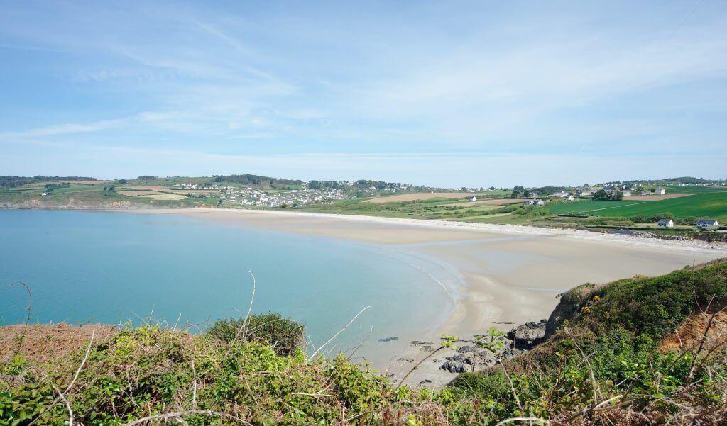
The rest of the day will be just as splendid. We walk first to the dunes of the Aber. Know that it is better to arrive at this place at low tide because you can see the fort of Aber and walk along the beach. As we arrived at high tide, we had to make a big detour on the road to reach the GR34 again a little further.
We then continued to Crozon where we drank a well-deserved beer on a terrace in the centre. Then we went to pitch our tent at the Crozon campsite, located a little further, but where we received a very friendly welcome.
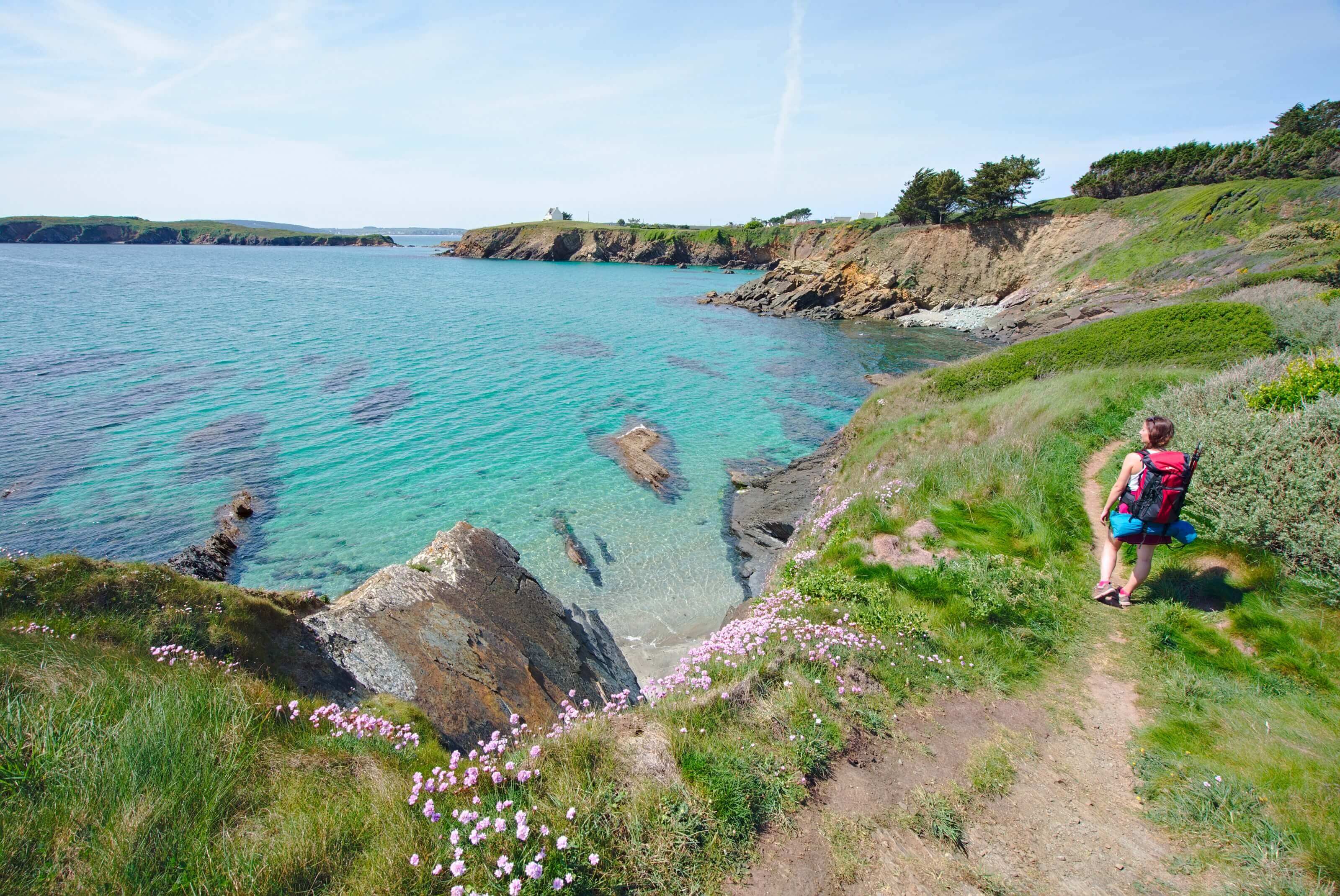
Infos day 1
- Distance 22 kms
- Elevation gain 200m
- Elevation loss 200m
- Duration about 6h of walking time (excluding the photo breaks)
- Others This part of the GR34 is very easy and just splendid. It can also be done very easily for a day-hike
- Camping the camping of the peninsula in Crozon... from 14 to 19€ for a tent and 2 people depending on the season. It is a 3-star campsite and therefore very comfortable (hot showers, internet... even if we didn't have time to enjoy the heated swimming pool
)

One of the reasons we've come back to Brittany so many times is also our love for beautiful hikes and craft beer.
In 2022, we published a new book called "Randos Bière en Bretagne", a hiking guide that offers 40 itineraries through Brittany and with the particularity of always ending with a local, craft beer.
Thanks to this guide you will be able to discover the rich diversity of Brittany's landscapes but also of its brewing scene.
The book is not translated into English (only available in French), but if you speak a little French, it may give you some ideas!
You can find the book in most bookshops in Brittany as well as on the following websites
Day 2 : Le cap de la Chèvre
After a rainy night (maybe our first raindrops in 3 weeks 
We reach the sentier des douaniers by climbing a staircase at the end of the beach. We then dive through the Kador woods, a very beautiful pine forest that runs along the Morgat coast to the Virgin Island. Somehow we almost like we would be somewhere in Italy while walking through this pine forest. We also see some very pretty coves (especially on the Virgin Island) and the color of the water returns to its beautiful green color as soon as the sun is coming back.
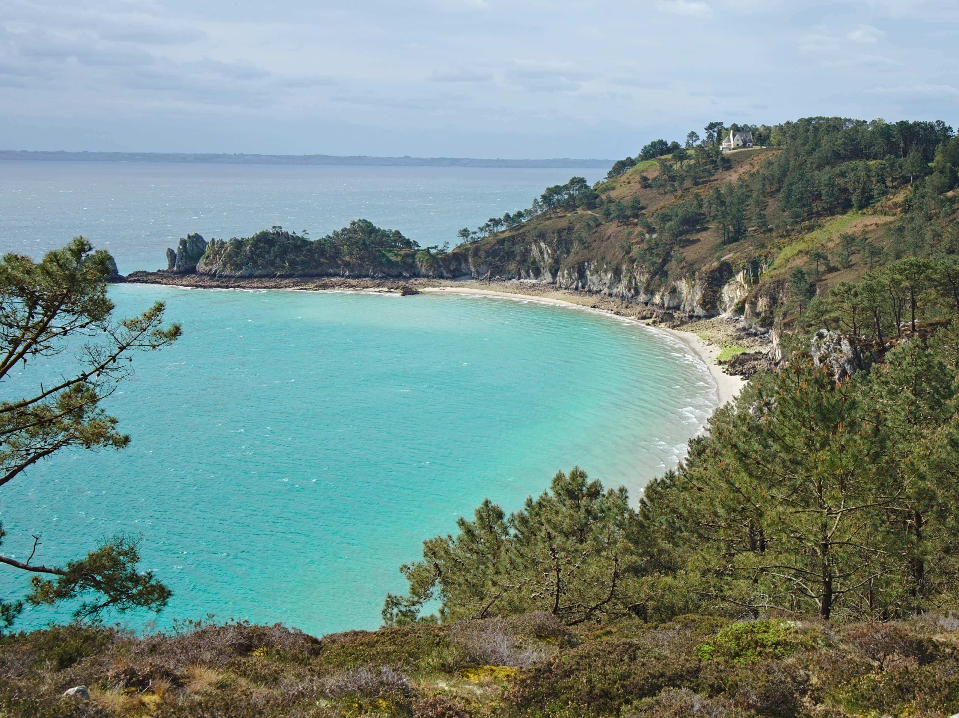
On the other hand, the trail is a little more difficult than the day before. It goes up and down quite a lot! As a result, we need more time than expected to reach the Virgin Island. We think that maybe we should shorten the day's stage a little bit to get to the Goulien campground more easily. We therefore decide to cut just before the Cap de la Chèvre, at the level of the village of Kergonan, to gain a few kms (this turnes out to have been a very good decision because we were already pretty tired when we reached the camping in the evening).
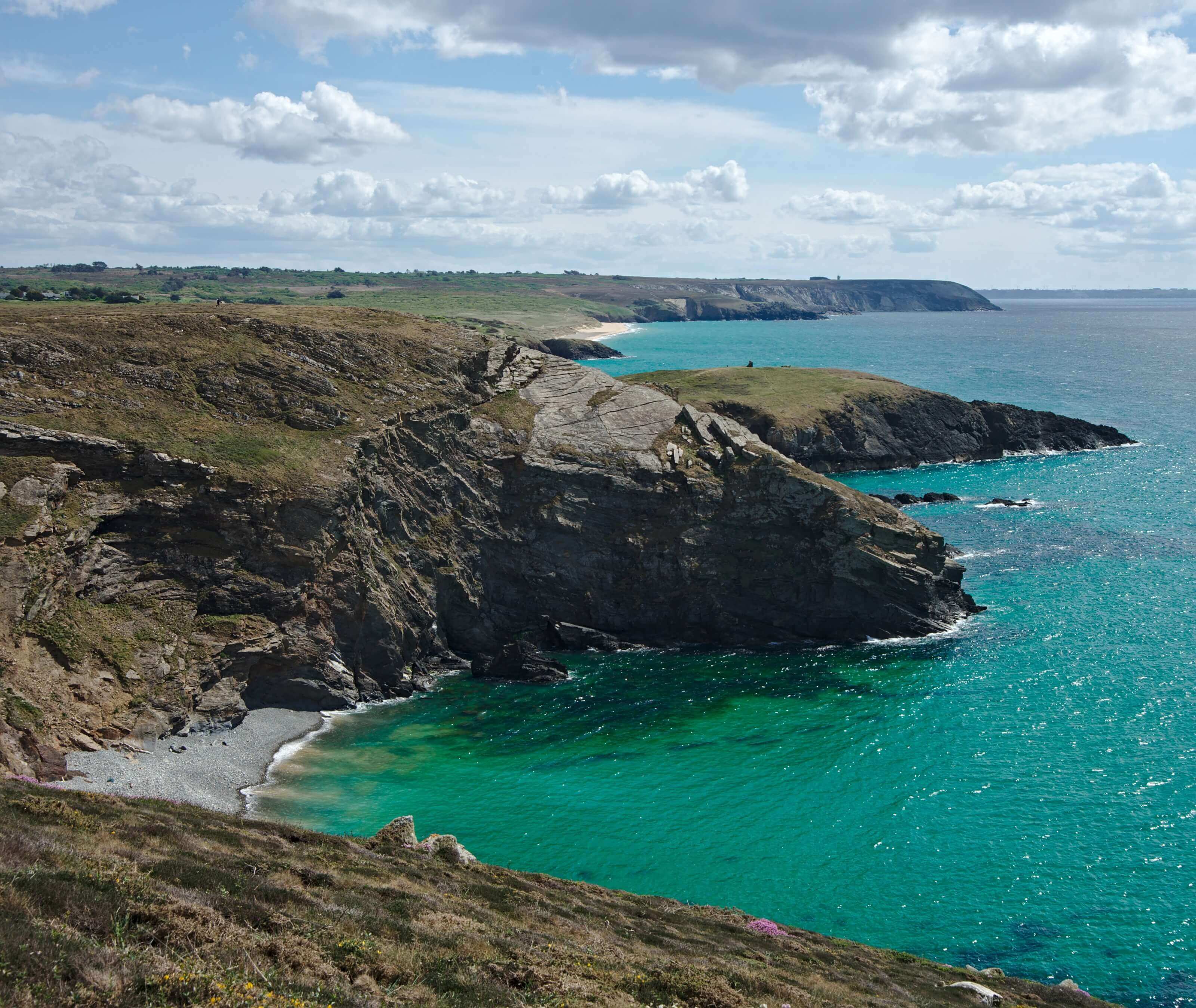
Once on the other side of the island, the landscapes change completely. No more pine forests! We find ourselves teleported to Ireland. On this side, vegetation is much rarer but the scenery is no less beautiful 
We then continue to the beach of La Palue where we can't help but take a break for a snack because the view is so beautiful. It is also a well-known surf spot as explained by our friend Géraldine. We would have stayed there for a few hours to enjoy, but we still had a few kms ahead of us before camping on Goulien beach. And unfortunately we can't bivouac on the Crozon peninsula...
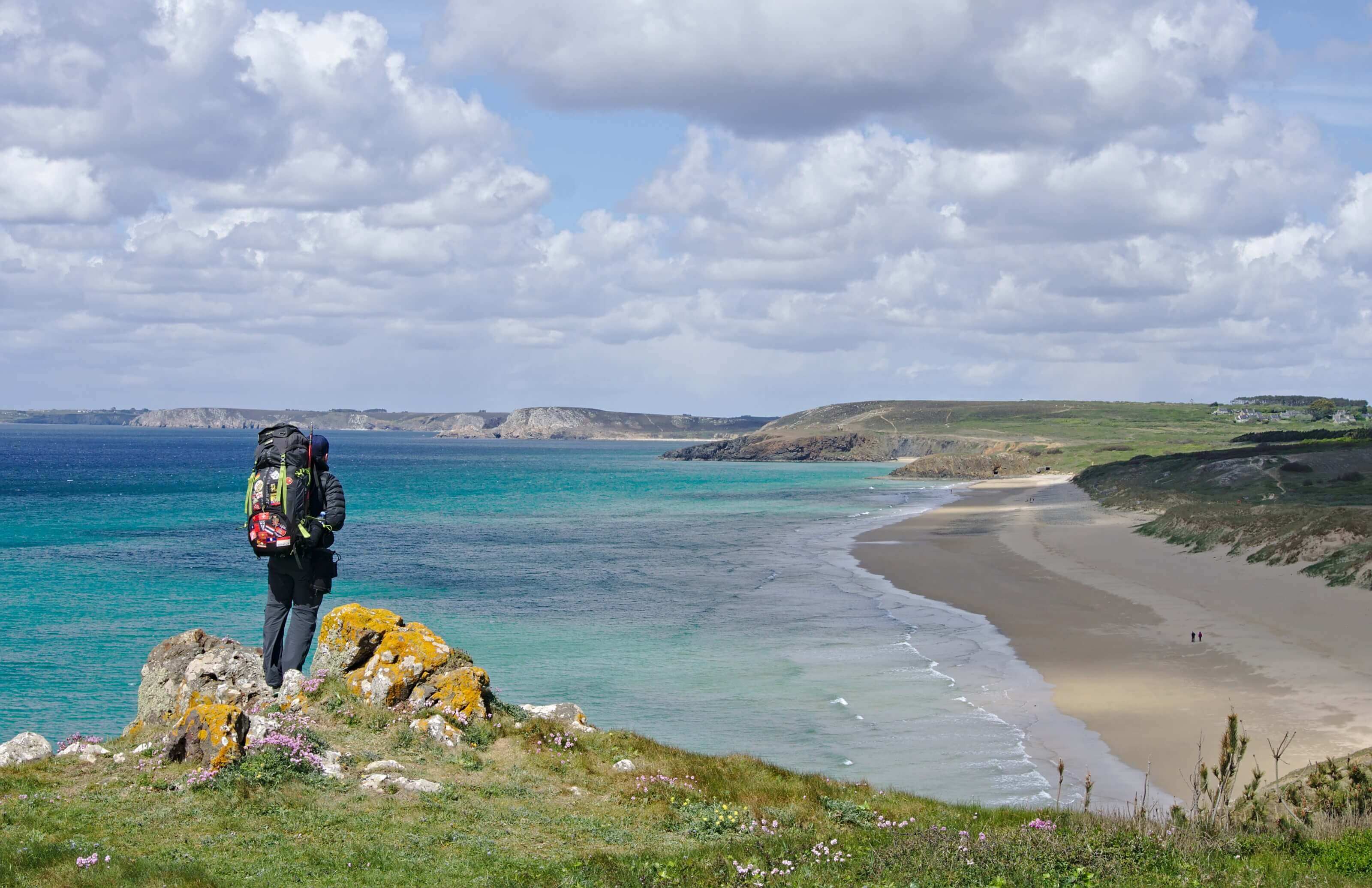
We're getting very tired at the end of the day! We pass the tip of Dinan to reach the Goulien beach campsite 2km further! As it is April, there is not much open around the campsite. So we are very happy when the campsite manager offers to drive us to the nearest shopping centre to do buy some food. If he wouldn't have taken us in his car, I think we would only have eaten a couple of leftover cookies for dinner. Going to the supermarket allowed to have a nice picnic.
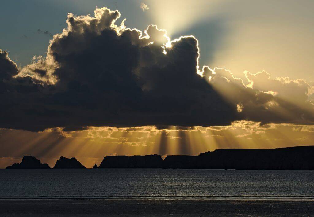
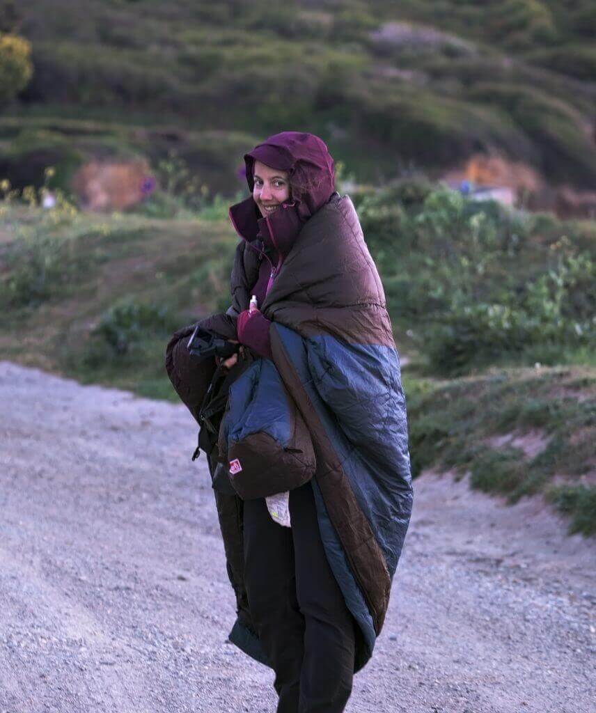
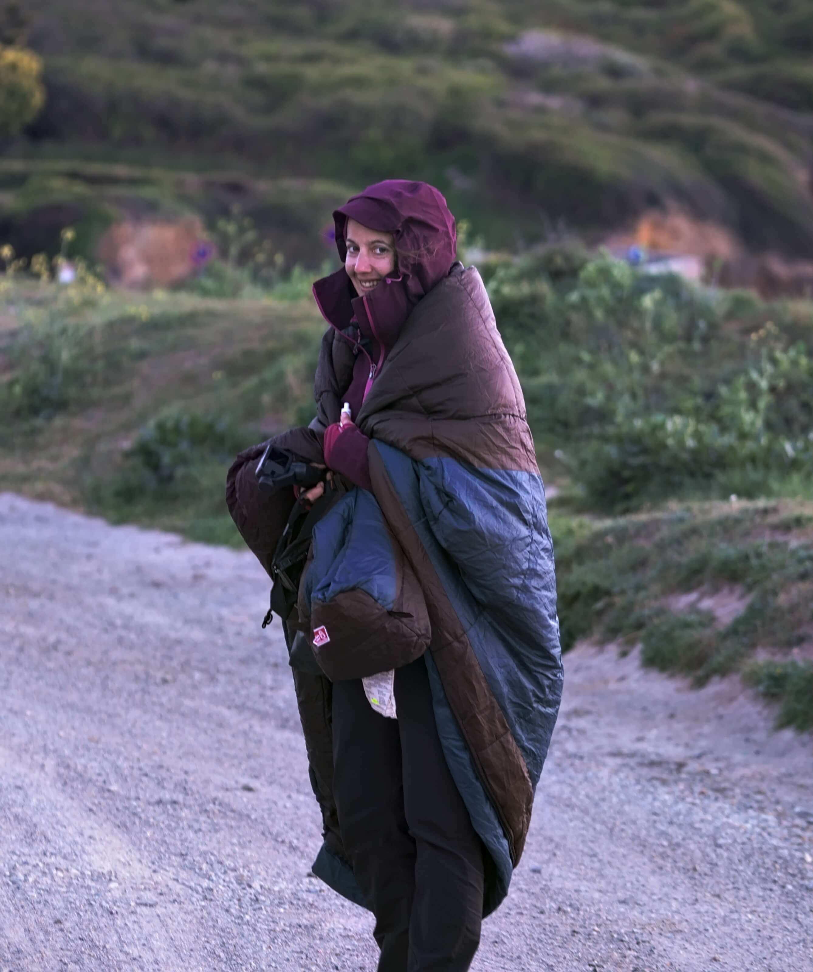
Thus, we took our sleeping bags on the beach (it is very cool in the evening) for a small improvised picnic at sunset. It could not get any better I think
Infos day 2
- Distance 22.5 kms (count 25-26 if you want to go through the Cap de la Chèvre)
- Elevation gain about 600m
- Elevation loss about 600m
- Duration we hiked for 6h30 - 7h without counting the breaks. But thankfully the sun is setting quite late in Brittany
- Others The first part between Morgat and the Virgin Island is not that easy. Thus, going all the way to Cap de la Chèvre and then come back to Goulien beach, is really a long day. If like us you don't feel like doing everything, cut a little before the tip.
- Camping The campsite at Goulien beach costs 9.80€ + 5.50€ per person. It is also a comfortable 3-star campsite with internet, hot showers etc....
Day 3: passage to the tip of Pen-Hir to the Trez Rouz beach
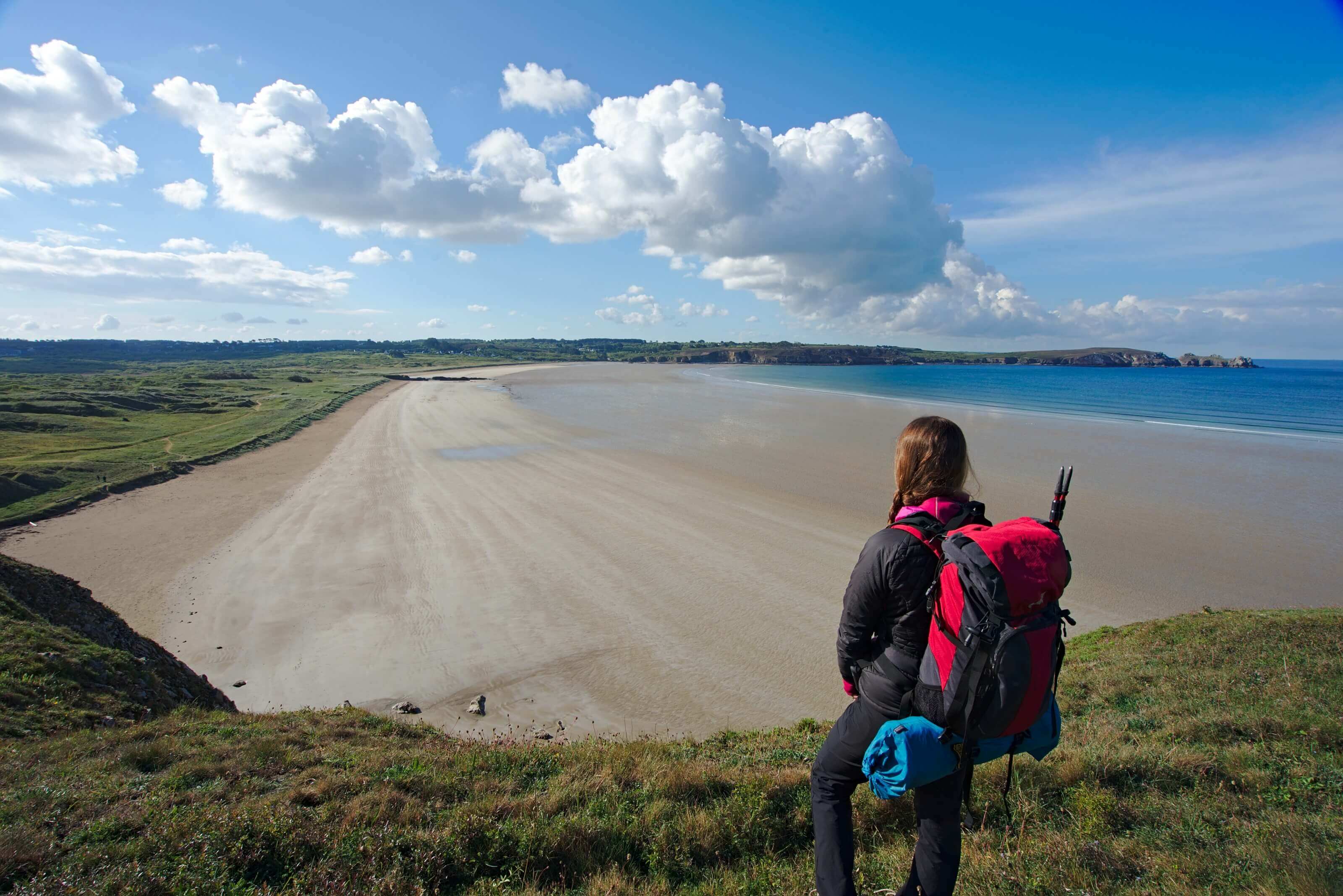
After a 2nd rainy night (as long as it only rains at night 

We then continue our hike to the tip of Pen-Hir. The sentier des douaniers is still as beautiful as ever, along the flowered cliffs that overlook the beaches below. We sit quietly at the tip to eat a bite while admiring the scenery. However, what we didn't see coming was the big black cloud coming behind us.... In short, you won't get a picture of how we packed up in 30 seconds when a hailstorm fell on us. But you will understand that with the view we had, we didn't look too much behind us
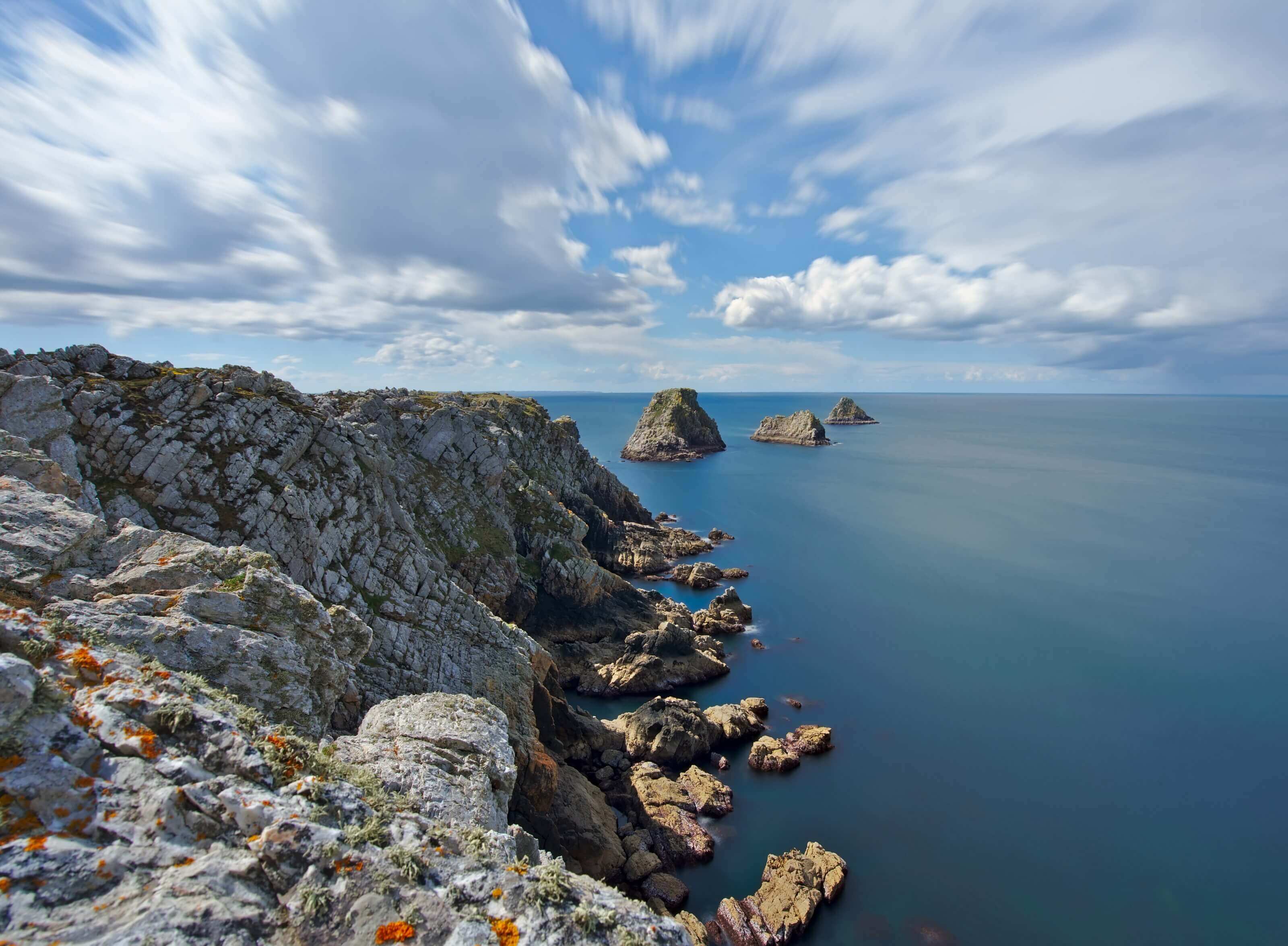
Fortunately for us, the hail only lasted 5 minutes. Otherwise, it could have been much less fun, because, obviously, we had no place where we could hide. 
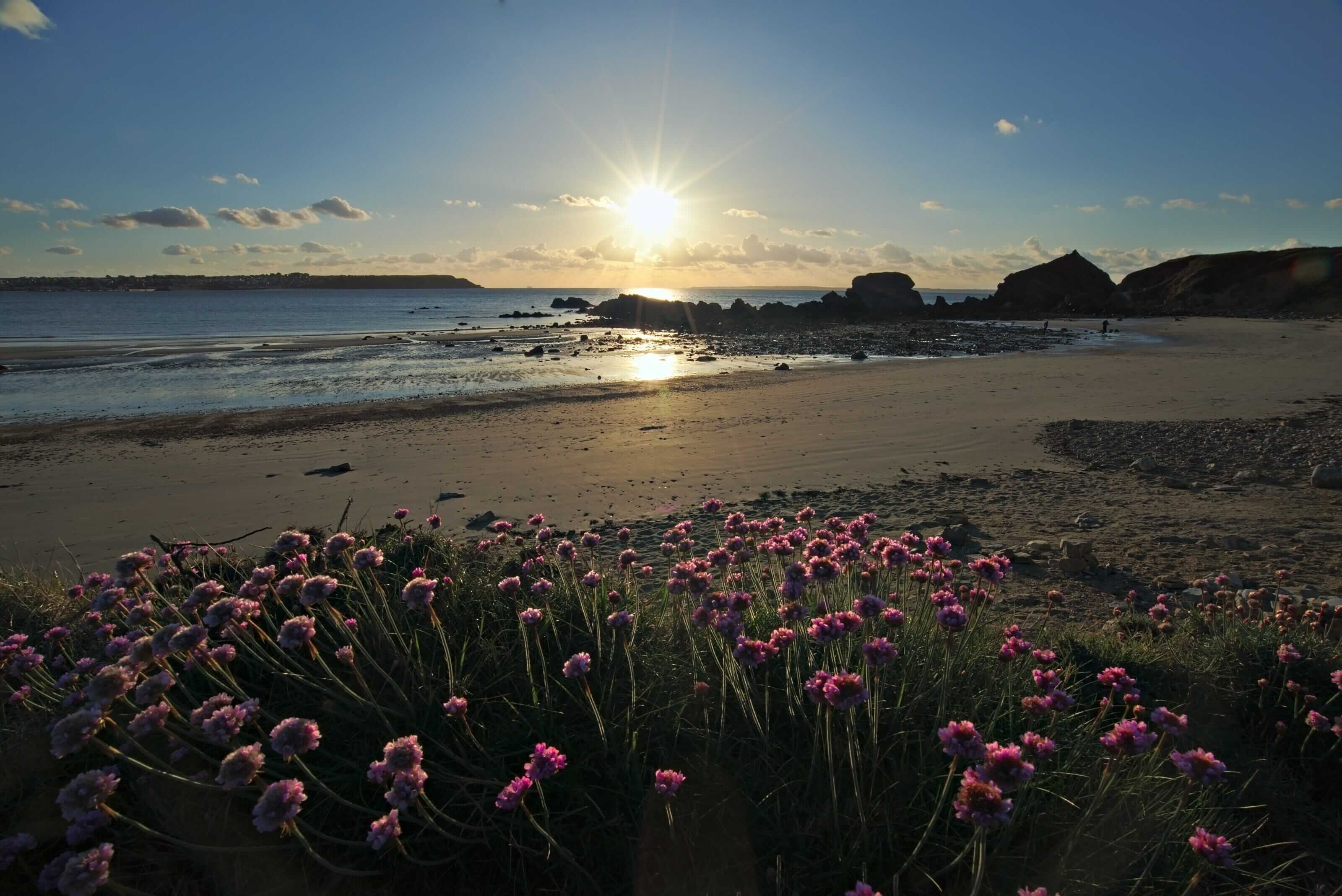
Then we reach the sentier des douaniers again at the end of the village where we continued to the Trez Rouz beach campsite, located 3-4 kms further on. It must have been barely 4 pm when we got to the campsite. As a result, we had plenty of time to pitch the tent, take a nice hot shower and rest a little. For the rest of the program, we did not lose good habits.... We took a bottle of cider, a baguette and a sausage. Direction the beach to admire the sunset.
But you would have done the same, wouldn't you?
Infos day 3
- Distance 17-18 kms (again, count 21-22 if you follow the GR34 all along)
- elevation gain about 300m
- elevation loss about 300m
- Duration 5h by cutting in Camaret sur Mer
- Others If you pass by there during a big tide, there are caves that become accessible on foot at Pen Hat Beach... we were told it's really worth it.
- Camping The camping of the beach of Trez Rouz costs between 16€ and 22€ depending on the season. Here too everything is fine! internet, showers, swimming pool etc....
Day 4 : la pointe des espagnols
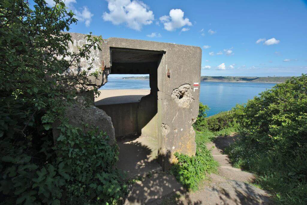
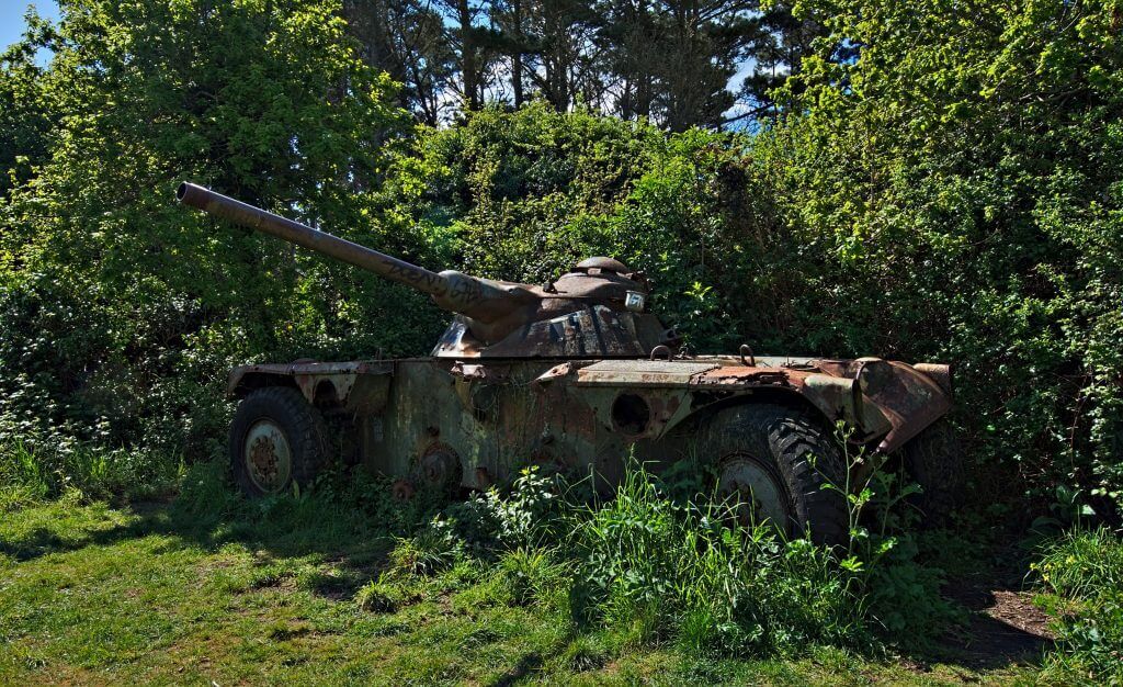
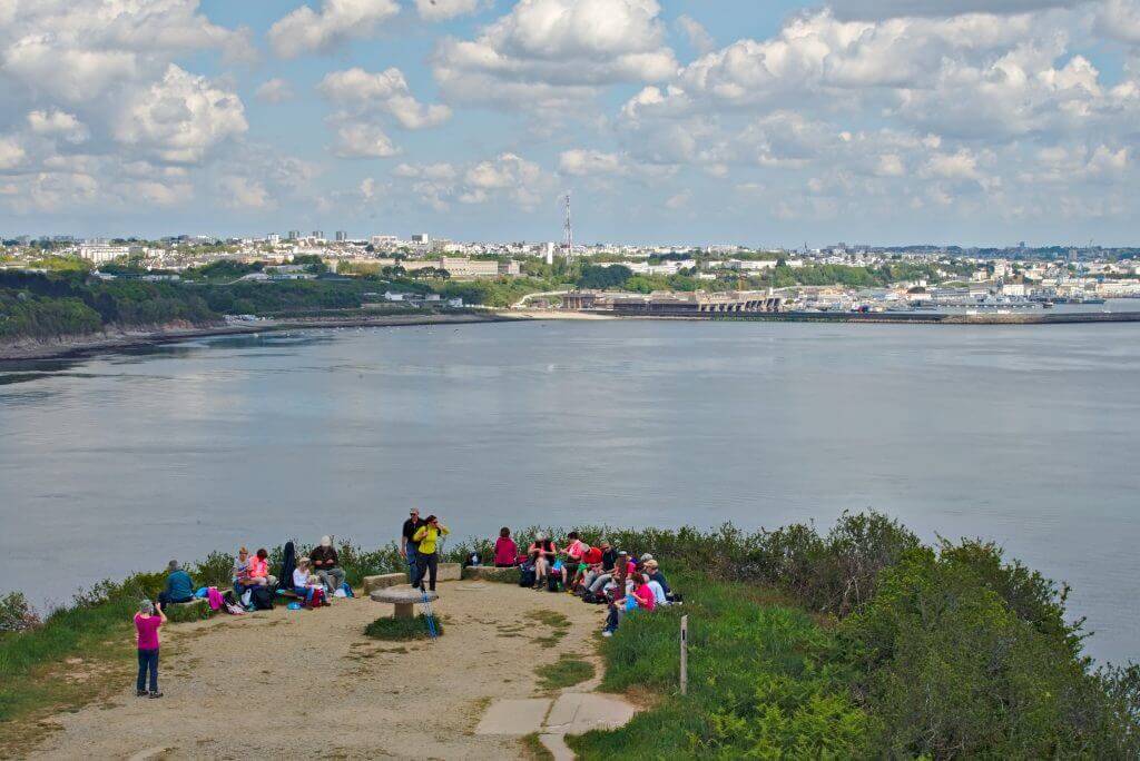
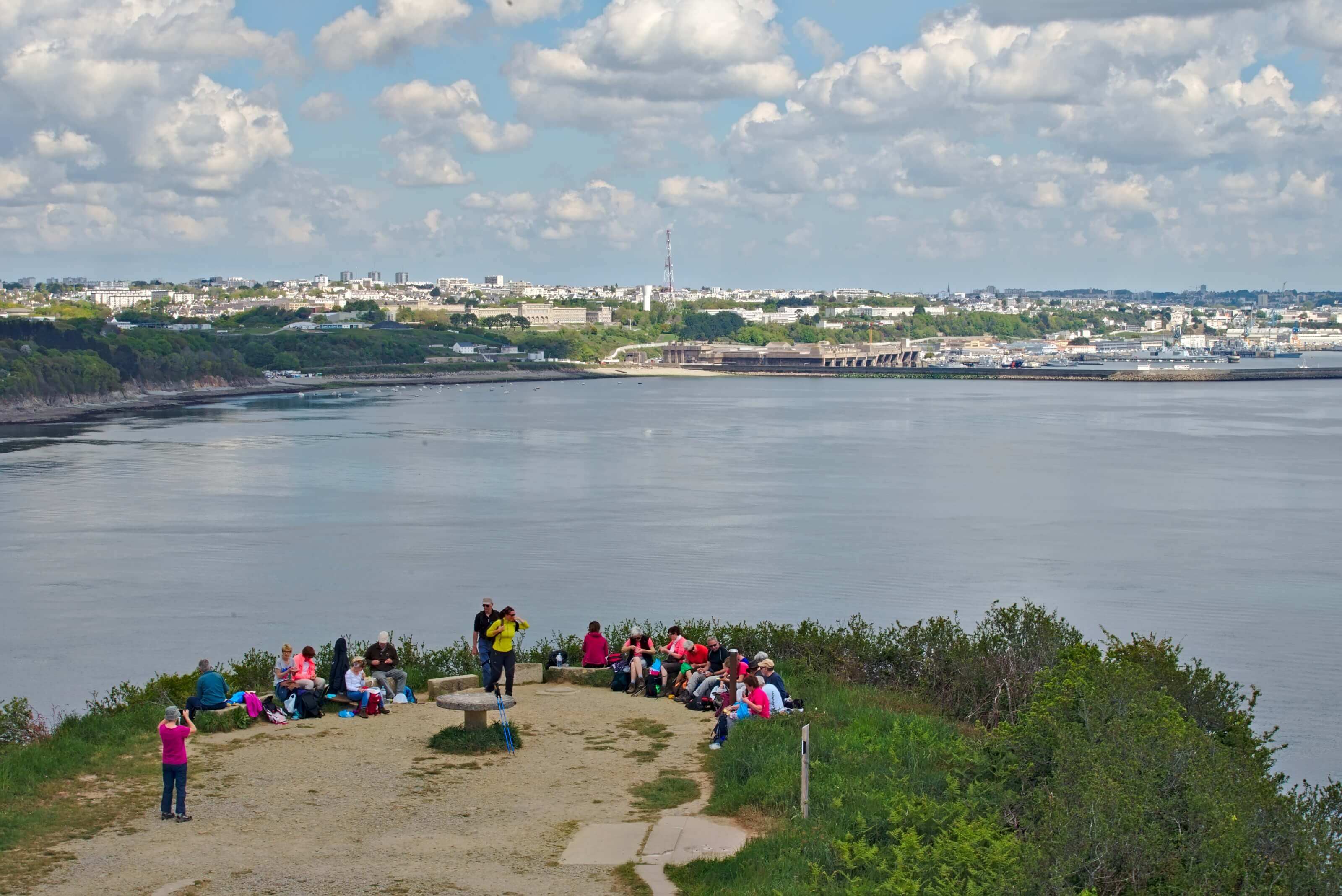
Since we didn't have time to go all the way to Brest, we thought that a passage at the pointe des espagnols to at least admire the bay of Brest was a must. Historically, this point was a strategic location for the defence of the Brest Narrows. As a result, along the entire length of the GR34 to the pointe des espagnols, we pass through old fortifications, most of which date back to the Second World War. But nature slowly recovers its rights and all these fortifications are slowly covered by vegetation.
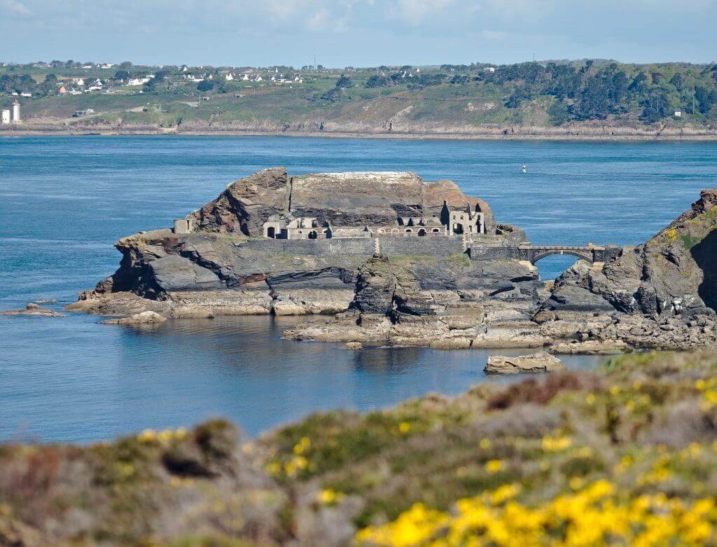
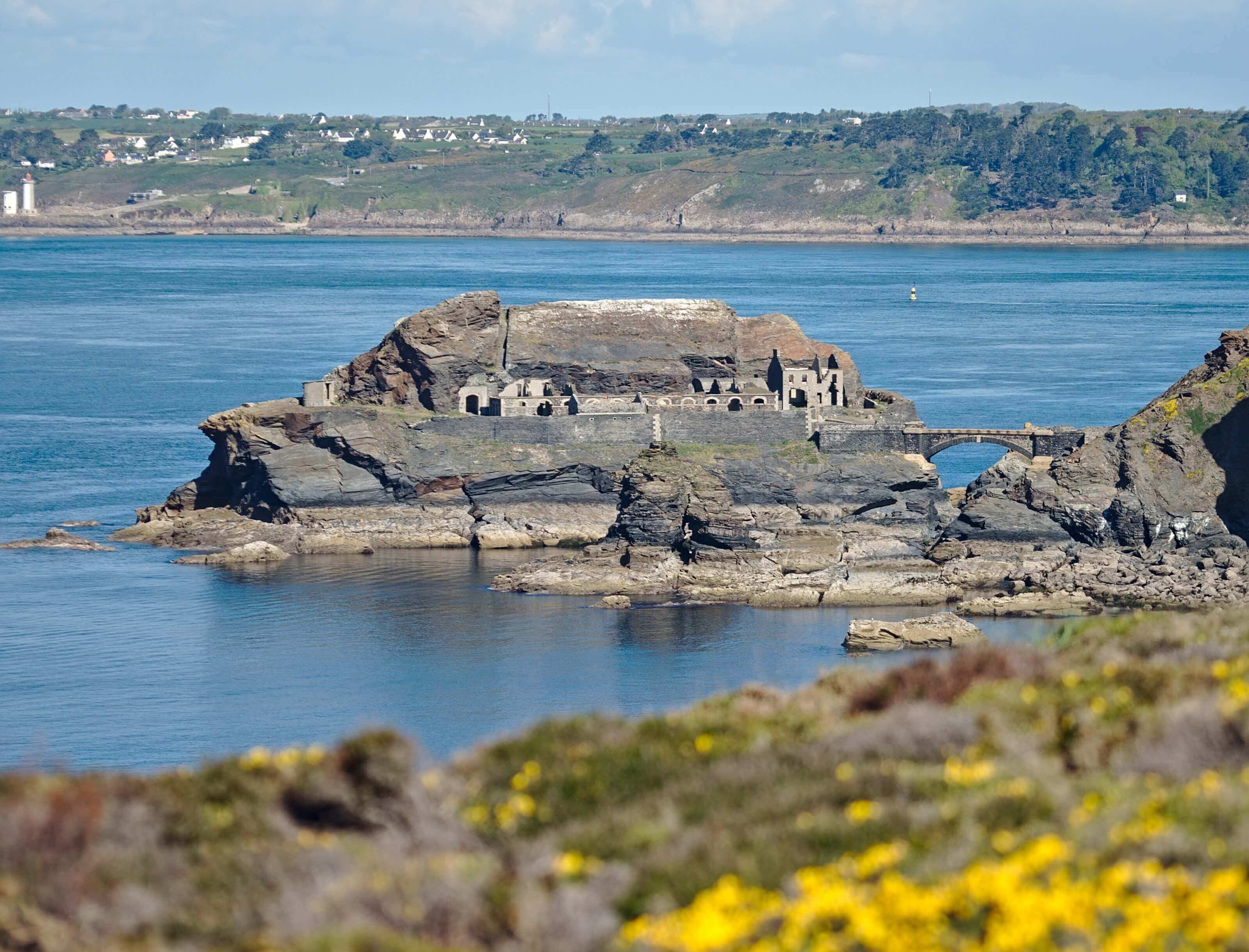
On the way we can see the Capuchin fort which is located on an islet at the foot of the cliffs. It is possible to go down there if you don't do like us and don't miss the path that starts on the left of the sentier des douaniers 
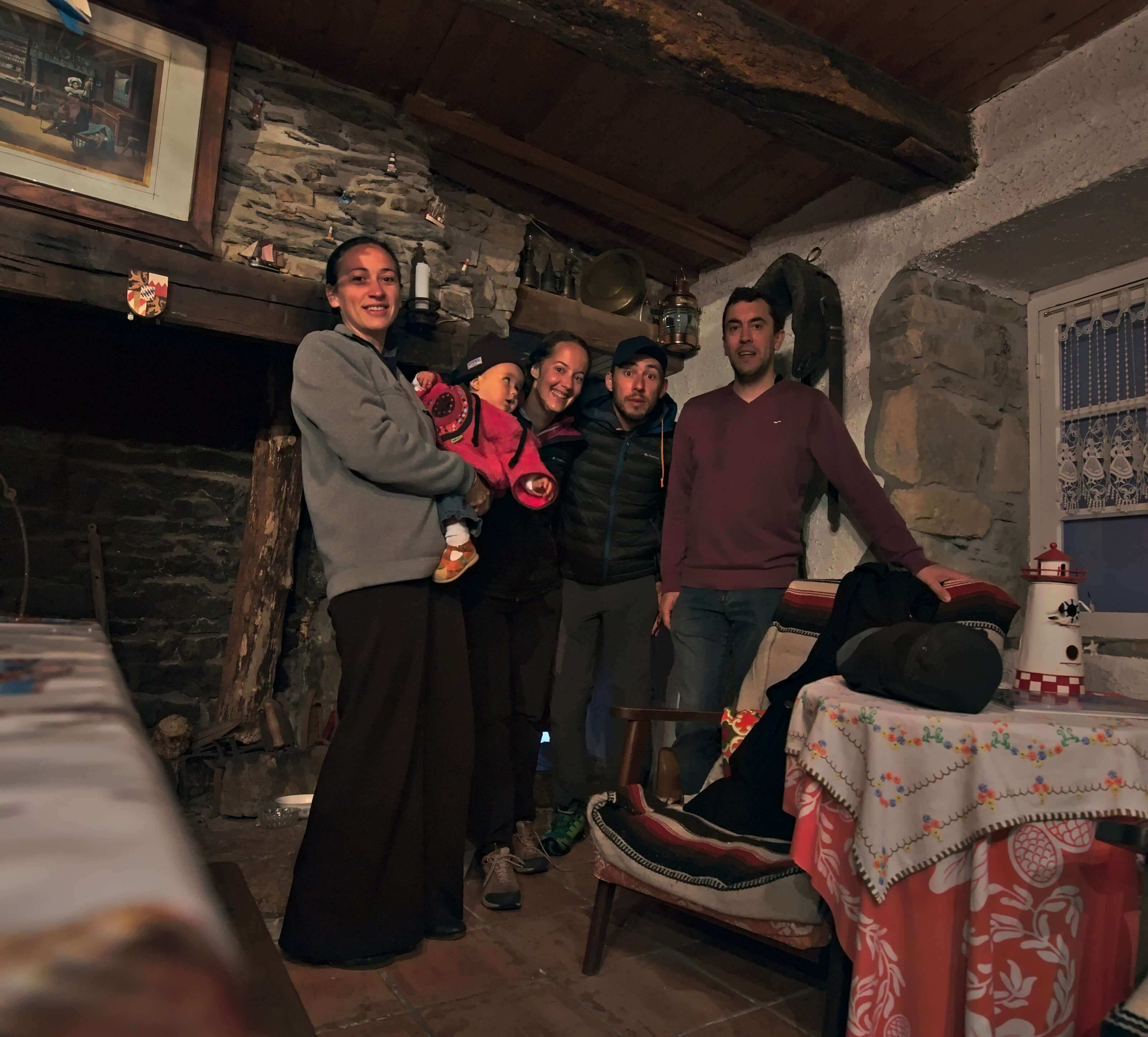
For the return to the other side of the pointe des espagnols, it should be noted that we were invited to spend the night south of Roscanvel, at the home of Cyril and Sophie, 2 former world travellers and readers of our blog. As we are not the type to refuse this kind of invitation (which always gives rise to beautiful evenings 
As far as we are concerned, with the bad weather that was forecast for the coming days, we preferred to focus on this beautiful evening spent at Cyril and Sophie's house. In addition to having prepared a feast for us, they even helped us to get our car back in Saint-Nic.
Thanks again to you for these good moments shared and see you soon maybe
Infos day 4
- Distance 19 kms (count 22kms until le Fret)
- elevation gain 400m
- elevation loss 400m
- Duration 5-6h walking time
- Others The return from the pointe des espagnols is a little less interesting. We had trouble following the GR34 which was badly indicated and we found ourselves several times having to follow tarred roads.
That's it for our story of this superb hike around the Crozon peninsula. You will have understood it well, we simply loved the whole hike and we really hope we made you want to spend a few days along the GR34 in Brittany. Frankly, it's clearly one of the most beautiful hikes we've ever done.
Now we are back in Switzerland for a while. We have some paperwork to do for our company and we are preparing for a new hiking season that promises to be amazing!!!! But, don't worry, Fabienne will tell you all about it in our next article



Join the discussion